COMMUNITY NEWS/UPDATES
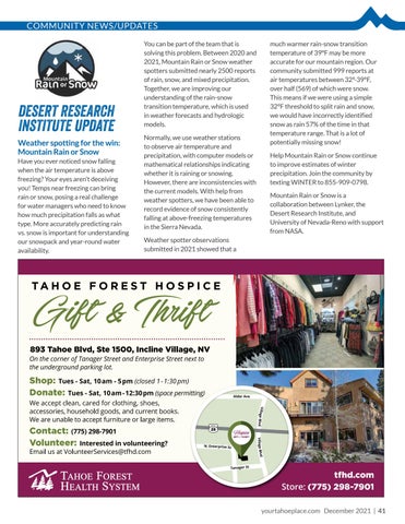
DESERT RESEARCH INSTITUTE UPDATE Weather spotting for the win: Mountain Rain or Snow Have you ever noticed snow falling when the air temperature is above freezing? Your eyes aren’t deceiving you! Temps near freezing can bring rain or snow, posing a real challenge for water managers who need to know how much precipitation falls as what type. More accurately predicting rain vs. snow is important for understanding our snowpack and year-round water availability.
You can be part of the team that is solving this problem. Between 2020 and 2021, Mountain Rain or Snow weather spotters submitted nearly 2500 reports of rain, snow, and mixed precipitation. Together, we are improving our understanding of the rain-snow transition temperature, which is used in weather forecasts and hydrologic models. Normally, we use weather stations to observe air temperature and precipitation, with computer models or mathematical relationships indicating whether it is raining or snowing. However, there are inconsistencies with the current models. With help from weather spotters, we have been able to record evidence of snow consistently falling at above-freezing temperatures in the Sierra Nevada.
much warmer rain-snow transition temperature of 39°F may be more accurate for our mountain region. Our community submitted 999 reports at air temperatures between 32°-39°F, over half (569) of which were snow. This means if we were using a simple 32°F threshold to split rain and snow, we would have incorrectly identified snow as rain 57% of the time in that temperature range. That is a lot of potentially missing snow! Help Mountain Rain or Snow continue to improve estimates of winter precipitation. Join the community by texting WINTER to 855-909-0798. Mountain Rain or Snow is a collaboration between Lynker, the Desert Research Institute, and University of Nevada-Reno with support from NASA.
Weather spotter observations submitted in 2021 showed that a
yourtahoeplace.com December 2021 | 41