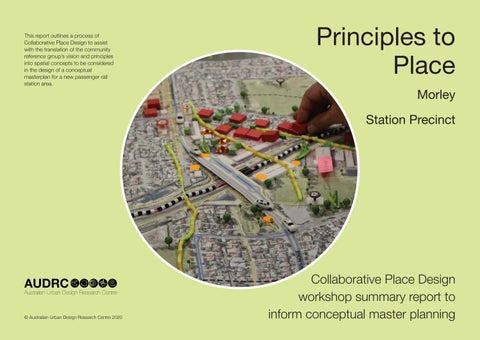
This report outlines a process of Collaborative Place Design to assist with the translation of the community reference group’s vision and principles into spatial concepts to be considered in the design of a conceptual masterplan for a new passenger rail station area.
Principles to Place Morley Station Precinct
© Australian Urban Design Research Centre 2020
Collaborative Place Design workshop summary report to inform conceptual master planning