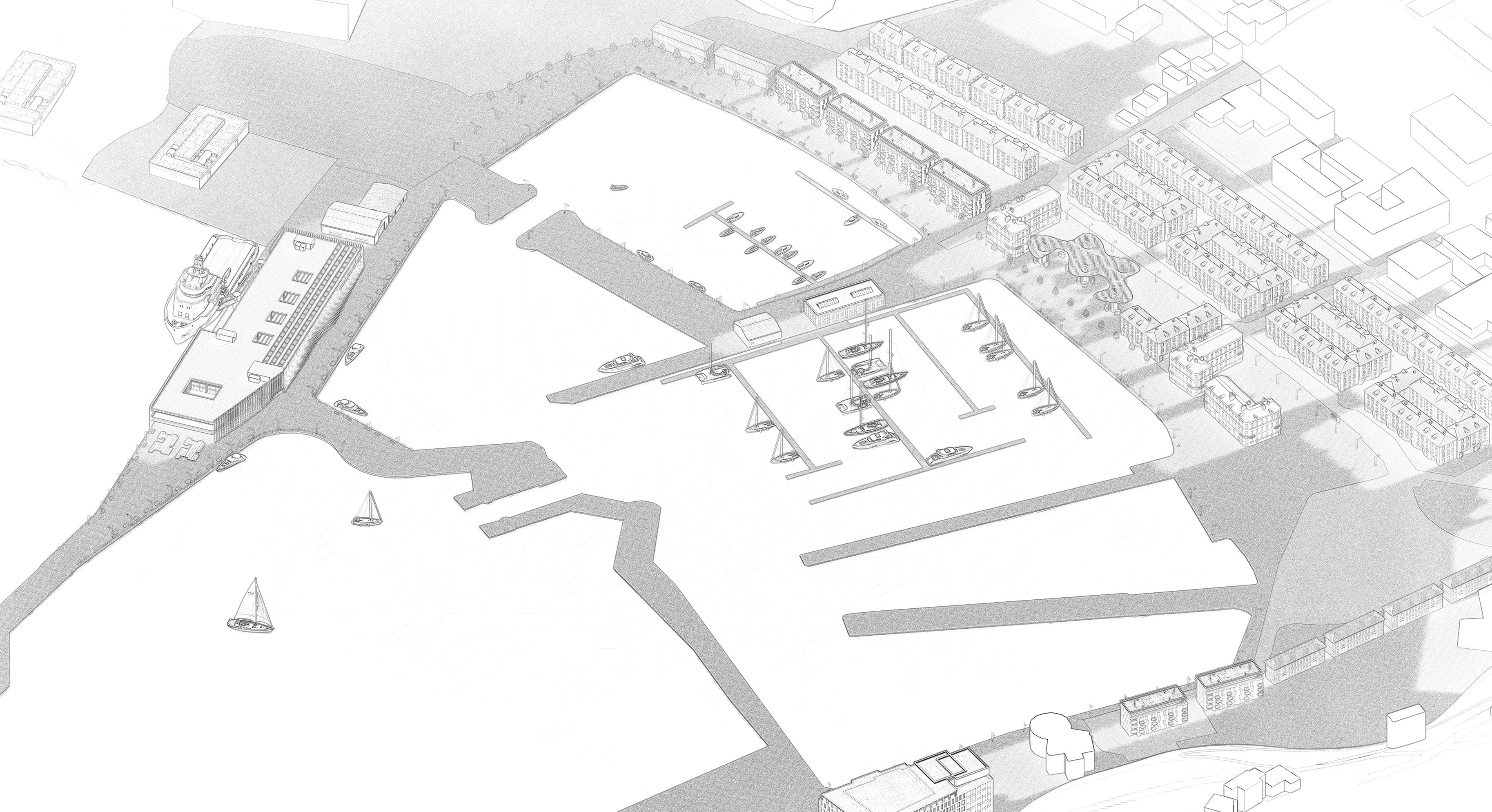
The regeneration of Whitehaven Harbour is framed as a phased transformation, designed to balance economic growth, heritage preservation, and improved transport. The central research question
— Can a transport hub catalyze economic and tourist resurgence in Whitehaven through skill reprofiling? — drives this vision, with the ferry terminal as its pivotal anchor.
Three main design principles shape the proposal:
- Business: High Street revitalization and local enterprise growth
- Tourism: Preservation of cultural heritage and town identity
- Transport: Enhanced accessibility and connectivity
Secondary principles highlight:
- New skills and workforce development
- An active seafront with maritime infrastructure
- Eco-tourism and biodiversity protection
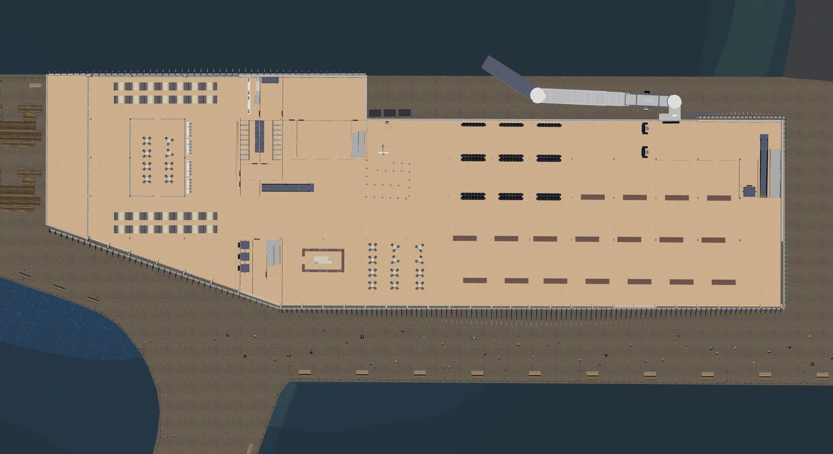
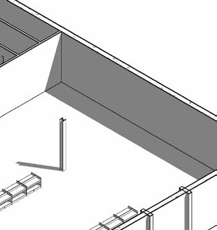
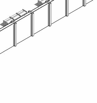
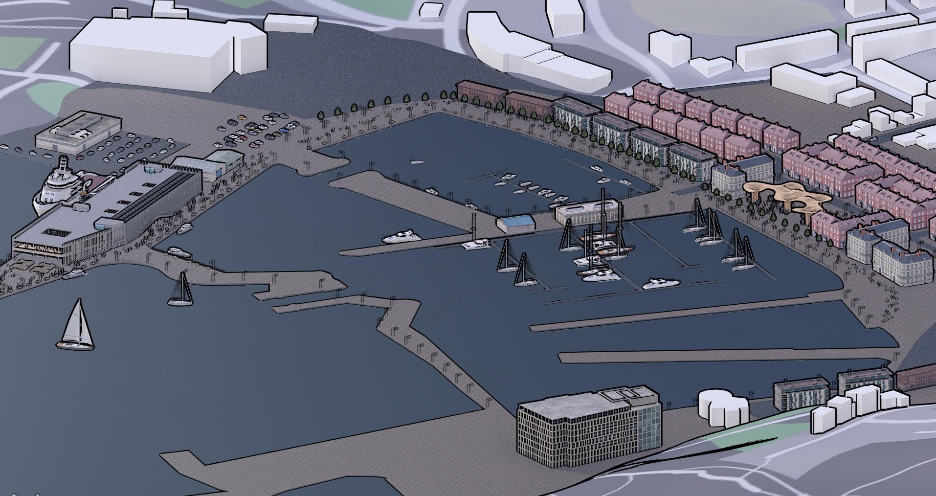
The masterplan is structured into five interconnected phases:
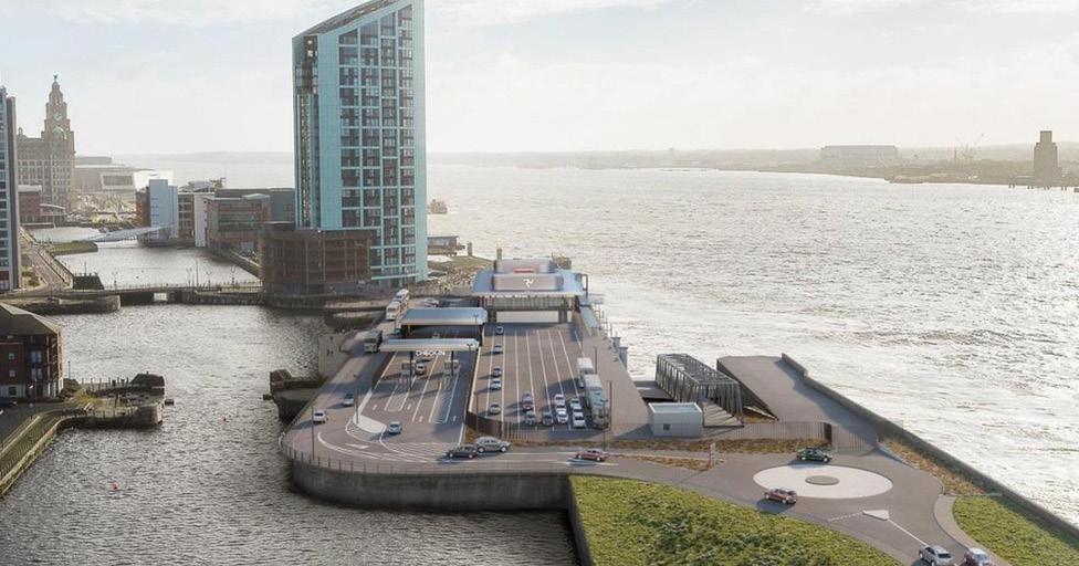
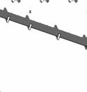
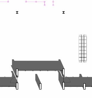
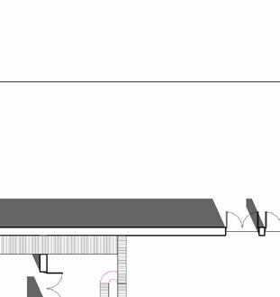
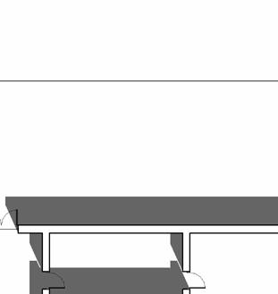
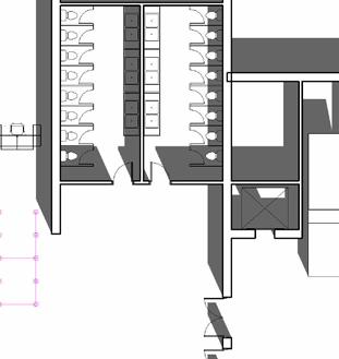
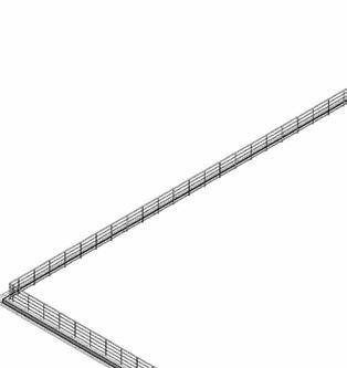
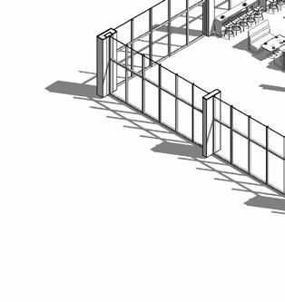
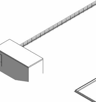
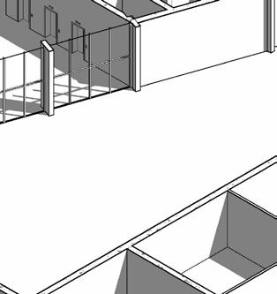
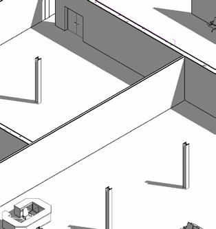
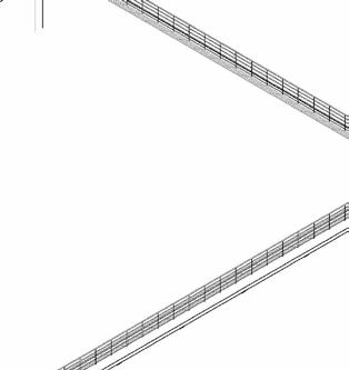
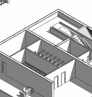
Phase 1: Establishment of a ferry terminal on northern pier, forging vital transport links with the Isle of Man and Western England, serving as the catalyst for sustained tourist influx and commuting potential.
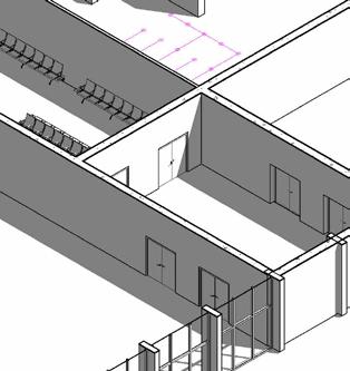
Phase 2: A vibrant promenade along the south-western marina, featuring The Edge centre and seasonal activities
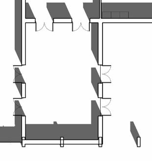
Phase 3: Queen's Dock precinct with harbour offices and a maritime wildlife museum.
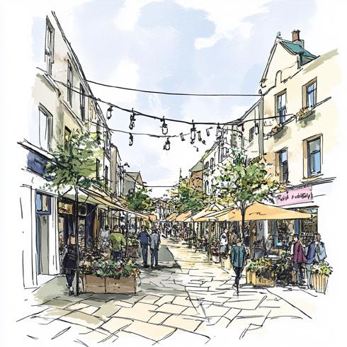
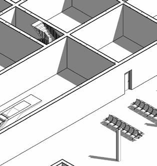
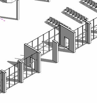
Phase 4: Strand Street's redevelopment into a business-residential district, revolving around a multi-purpose pavilion on the former Victorial Baths site.
Phase 5: King Street's adaptive reuse for artisanal shops and cultural spaces celebrating local heritage.
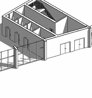
Together, these phases articulate a phased spatial strategy designed to reconcile Whitehaven’s economic aspirations with its cultural and environmental context. The design intent is to achieve a durable urban ecosystem, capable of evolving over time while keeping the town’s identity.
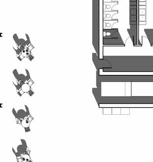
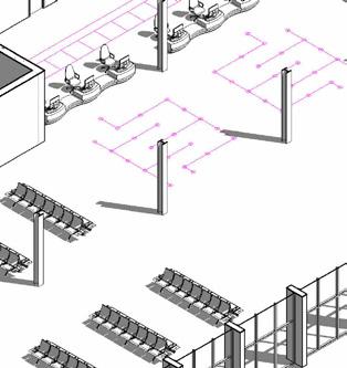
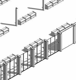
BUSINESS FOCUSED PHASED AREA
TOURISM FOCUSED PHASED AREA
TRANSPORT FOCUSED PHASED AREA
Sequential regeneration of Whitehaven Harbour: Phase 1 integrates transport, business, and tourism; Phases 2 and 4 emphasize tourism-led waterfront renewal; Phases 3 and 5 focus on business revitalization through local enterprise and heritage reuse
Spatial Speculation with AI
Generative Design and Place Making
Generative AI has been instrumental in unlocking new spatial potentials for Whitehaven Harbour, allowing the project to move beyond traditional design constraints. Using MidJourney as a speculative tool, distinct spatial visions were developed for each masterplan phase, testing how built forms, public spaces, and environmental conditions could evolve across time.
This AI-driven exploration enabled rapid iteration of site-specific scenarios, revealing opportunities for enhanced materiality, circulation, and public-realm dynamics. By simulating atmosphere and human interaction at different scales, the process helped balance heritage sensitivity with bold new interventions, thus anchoring the regeneration in both historical continuity and forward-thinking adaptability.
The iterative outputs informed placemaking strategies that emphasize human-centric design, intuitive wayfinding, and layered programming, ensuring that each phase strengthens Whitehaven’s identity while adapting to future demands. This integration of data-driven speculation and architectural intent shaped a resilient and engaging vision for the waterfront.
Architectural Focus Point
Relation to Urban Context
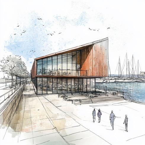
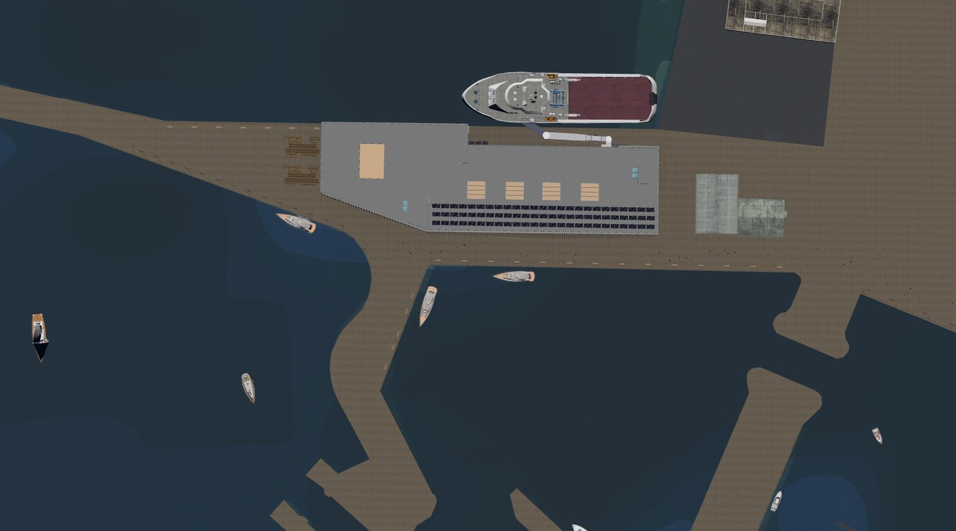
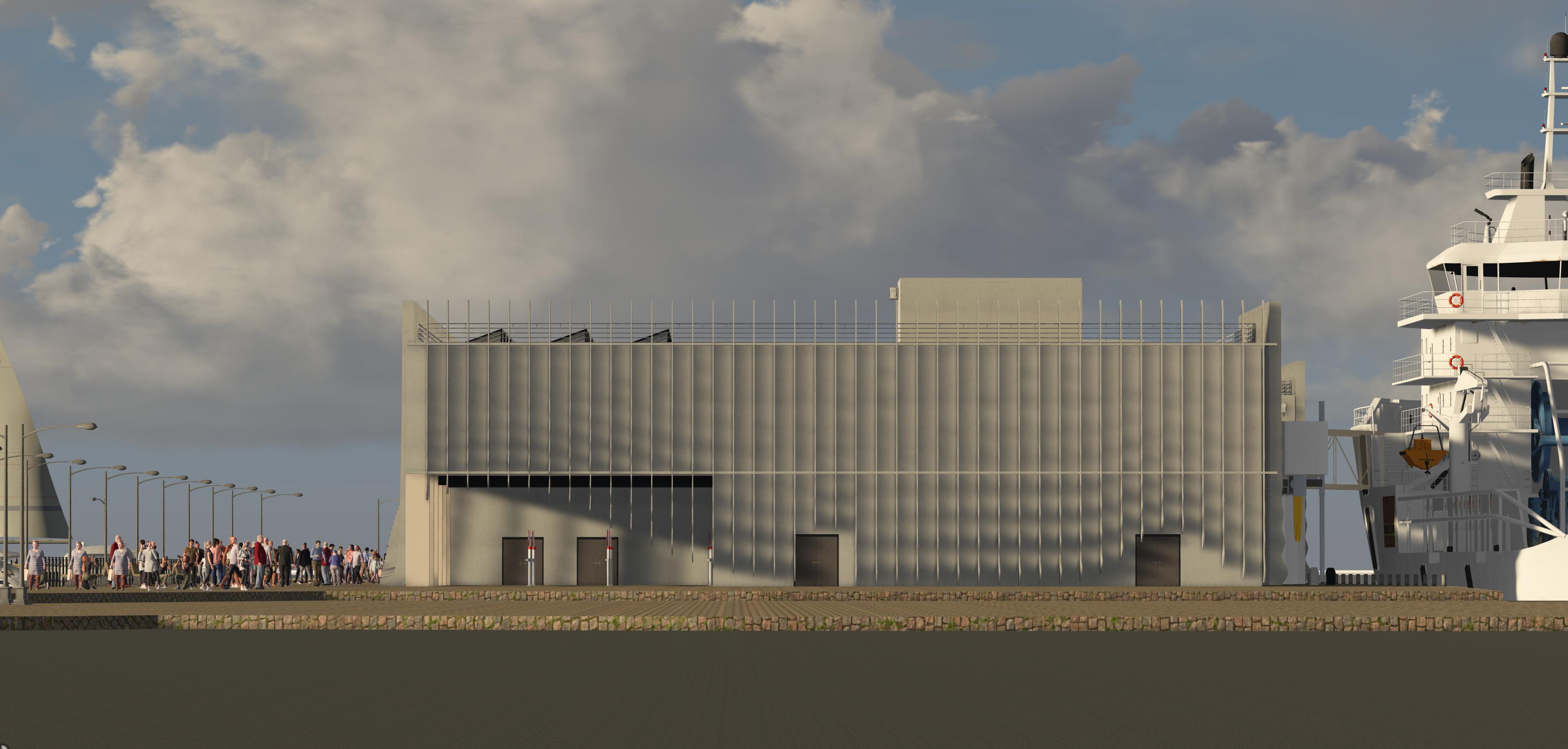
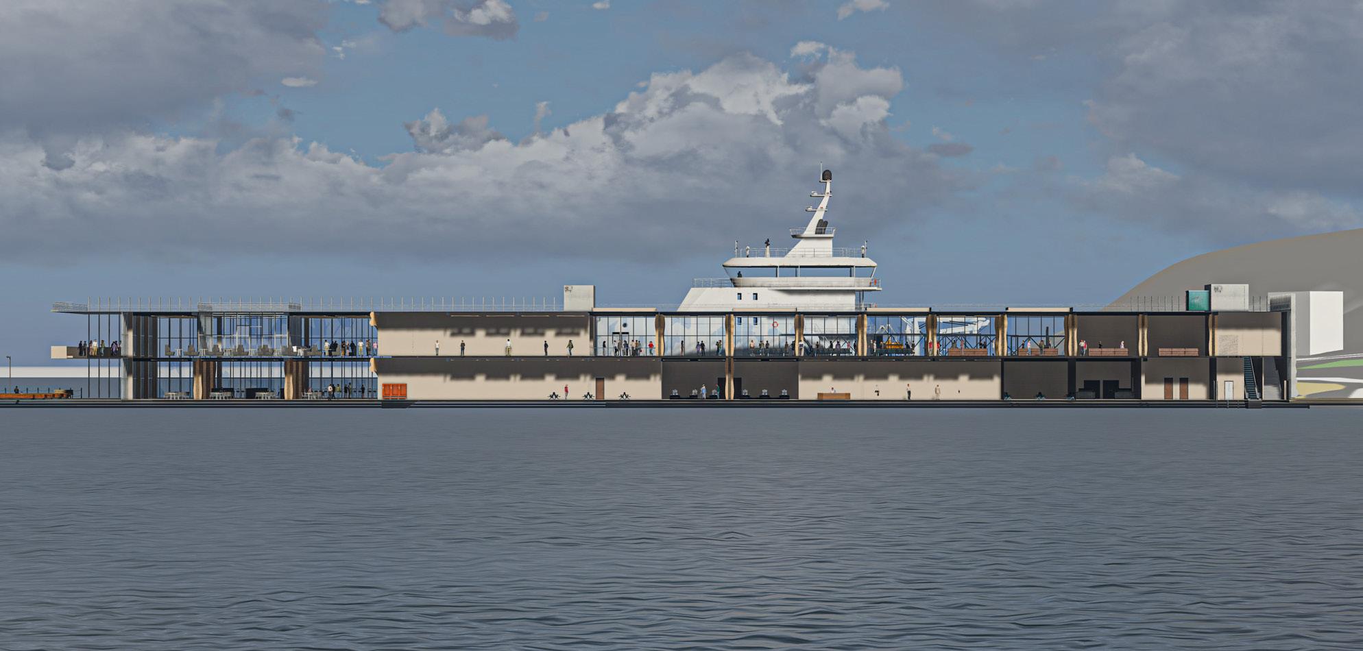
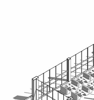
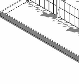
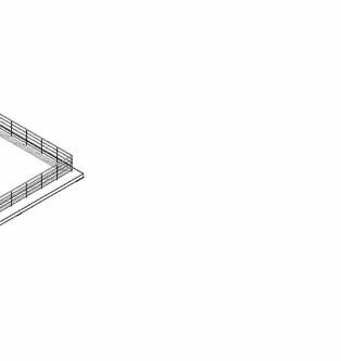
The ferry terminal stands as the architectural keystone of Whitehaven’s regeneration, acting as both a physical gateway and the primary catalyst for urban transformation. Located on the northern pier, the terminal is envisioned not merely as a transport hub but as a civic landmark—a multifunctional space that embodies Whitehaven’s ambitions for enhanced connectivity, economic revitalization, and cultural identity.
By forging new transport links with the Isle of Man and Western England, the ferry terminal anchors Phase 1, setting the stage for subsequent phases through its ripple effect on the waterfront economy and town centre. Its presence is designed to stimulate continuous footfall, revitalizing underused urban spaces and reinforcing Whitehaven’s coastal character
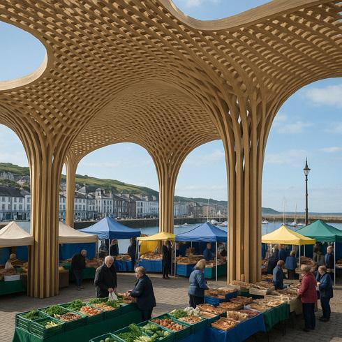
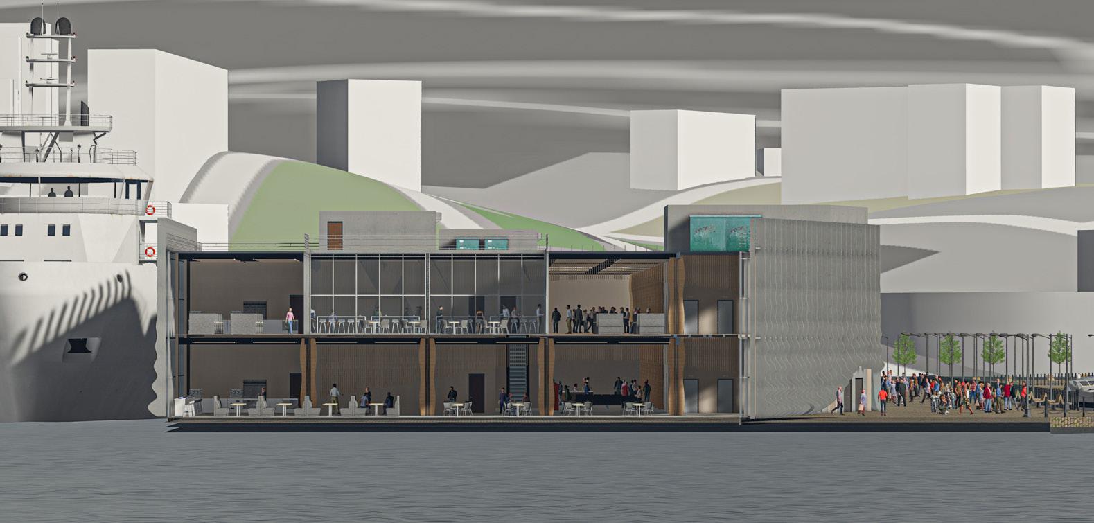
The focus on the ferry terminal, alongside the multi-purpose pavilion in Phase 4, reflects a deliberate strategy: these are the two phases that introduce new architectural interventions, while the other phases primarily rely on adaptive reuse of existing infrastructure and heritage assets. The pavilion, situated on the historic site of the Victorian Turkish Baths, provides a secondary architectural anchor—bridging commercial, cultural, and community functions within the Strand Street redevelopment.
Together, these focal points articulate a coherent spatial strategy that stitches the harbour back into the urban fabric, ensuring that regeneration is both structurally transformative and sensitive to Whitehaven’s rich architectural heritage.
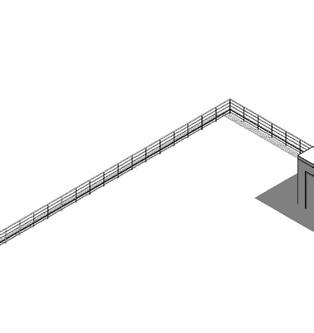
TOURIST ROUTE BUS ROUTE
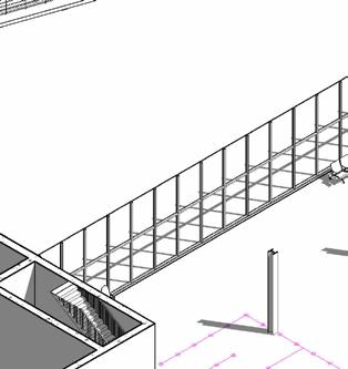
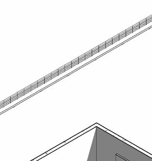
PEDESTRIAN BASCULE BRIDGE
WHITEHAVEN RAILWAY STATION
POINT OF INTEREST
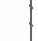
Key architectural interventions within the masterplan: the ferry terminal as primary catalyst and the multi-purpose pavilion as secondary anchor, reinforcing spatial connectivity across the harbour
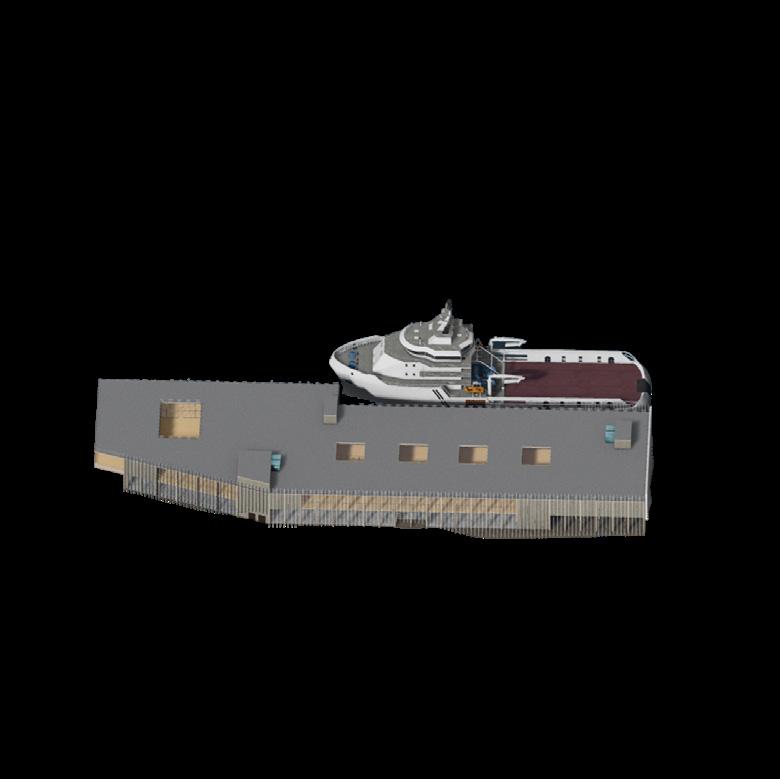
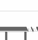
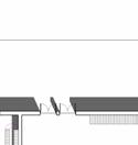
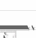
Whitehaven Ferry Terminal
Multi-purpose Pavilion
Precedent Study
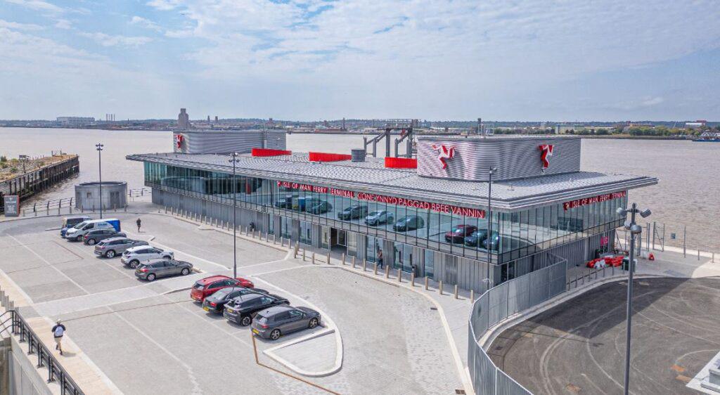
Liverpool Steam Packet Company Terminal
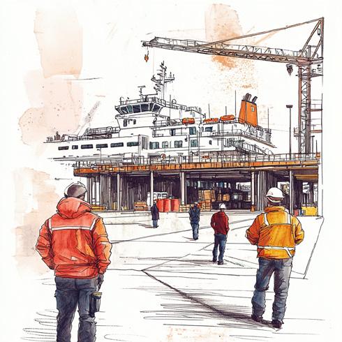
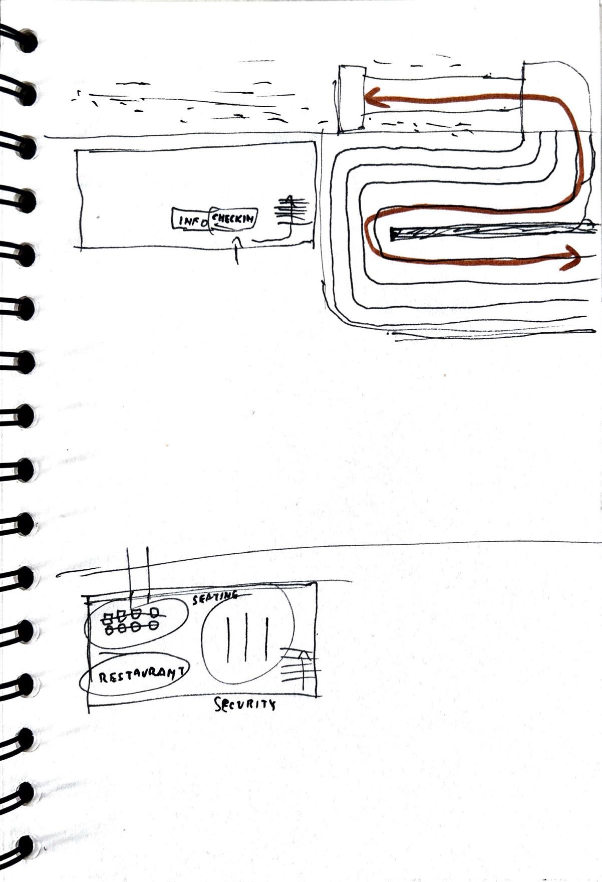
This precedent study documents a site visit to the Liverpool Isle of Man Ferry Terminal, operated by the Steam Packet Company. Observations focused on the vehicular flux and circulation patterns during ferry docking and unloading, particularly the critical moments when vehicles disembark or queue for boarding. The layout of the drop-off and pick-up zones, combined with the limited access for non-passengers, highlighted the operational segregation between pedestrian and vehicular users, as well as the spatial challenges of managing both flows in real time.
Without access to the upper-level departure zone, a series of speculative sketches were produced to deduce the internal configuration of publicfacing spaces such as check-in, waiting, and commercial areas. The spatial logic inferred from external observation suggests a clear linear arrangement aimed at efficiency, security control, and visual legibility.
Key takeaways influencing the Whitehaven design include the need for:
– Smooth vehicular transitions in confined waterfront spaces
– Clear vertical separation of arrival and departure routes
– Flexible internal zoning capable of adapting to varying passenger volumes
These insights are directly relevant to Whitehaven’s terminal design, informing how transport-focused functionality can intersect with principles of public realm engagement and operational clarity.
Design Principles in Translation
From Conceptual Framework to Spatial Strategy
The design process for Whitehaven Harbour translates core principles into a layered architectural response, where functionality, spatial logic, and user experience are integrated from the earliest stages of form-making. This approach moves beyond abstract ideals to address the practical realities of circulation, zoning, and operational needs.
The diagrams illustrate how initial massing was progressively refined to accommodate diverse programmatic requirements: from separating arrival and departure zones to ensuring clear staff circulation, secure luggage handling, and the integration of public-facing amenities. Each step in the design reflects how the principles of Business (flexible use and commercial vitality), Tourism (public engagement and placemaking), and Transport (efficiency and accessibility) are synthesized into the terminal’s evolving architecture.
Rather than treating these principles as isolated concerns, the iterative design process emphasized their intersection, embedding, for example, multi-purpose spaces for cultural events alongside transit functions, or designing for smooth pedestrian movement while ensuring operational safety. The outcome is a scheme that balances clarity of use with adaptability, positioning the terminal as a true civic gateway that serves both immediate logistical demands and the broader urban context
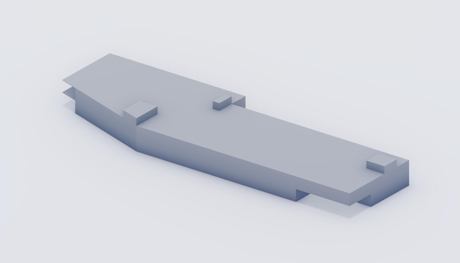
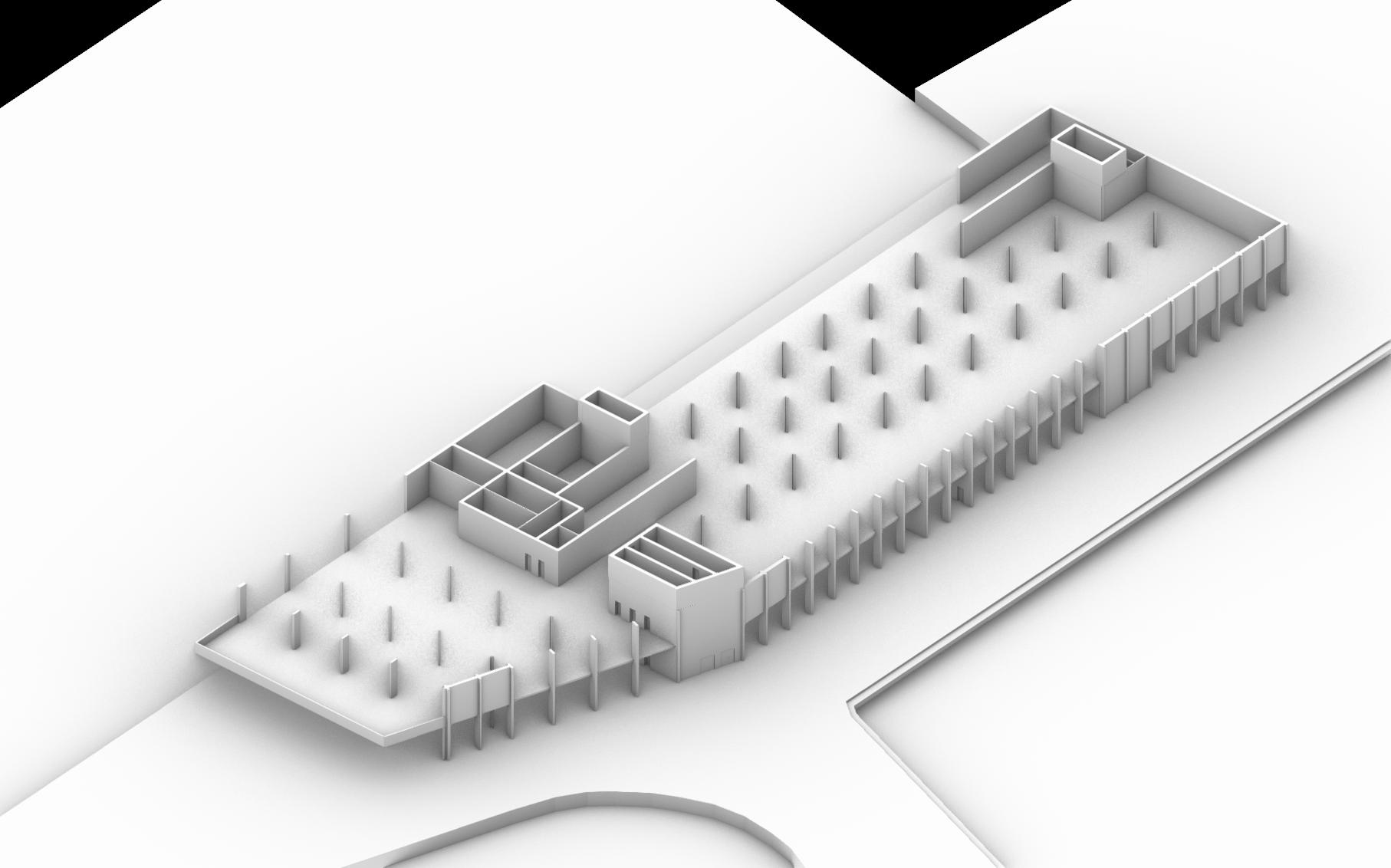
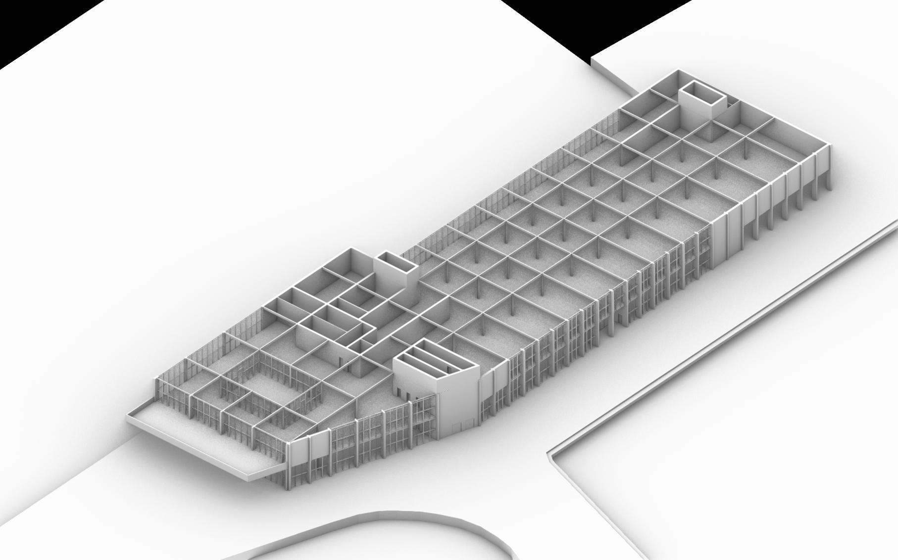
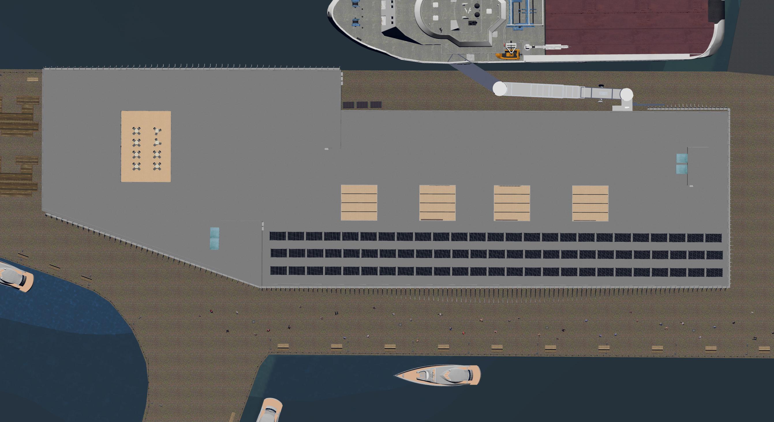
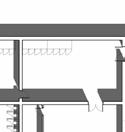
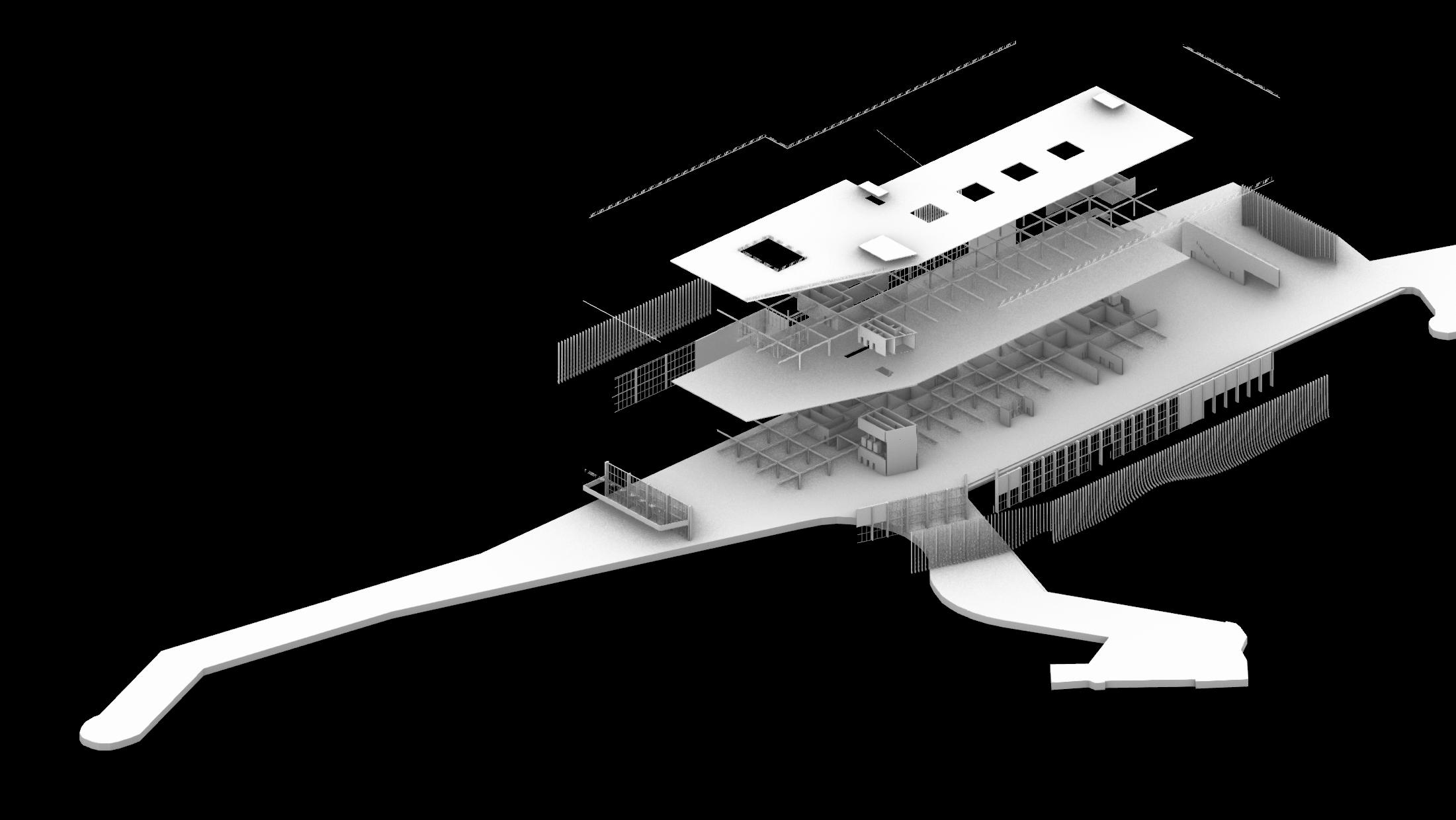
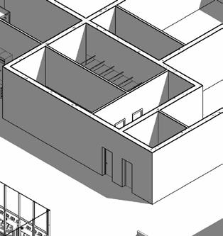
Initial rough massing of the ferry terminal, displayed over two levels to accommodate the facilities for luggage transport, passenger security, dutyfree zone and staff area, as well as proving accessibility from the upper level onto the ferry
Strategic location of main and secondary cores, in the proximity to the edge of the building to meet fire safety regulations; one core for the departures zone, one for the arrivals zone, and one for staff
South-west corner cut to allow flux of pedestrians on the pier; lower southeast corner cut for hosting bicycle parking area; north-east area cut for creating a buffer between the edge of the terminal and the edge of pier, used by staff transporting luggages, and by the gangway
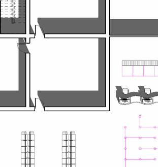
Distribution of key zones; the north-west area serves as multi-purpose area (hosting retail or cultural events); middle area serves as departure zone, marked by transparency on the sides, south-east area serves as arrivals zone, marked by lack of transparency on the sides due to building safety regulations for luggage handling area
Buffer zone for staff and gangway
Bicycle Park
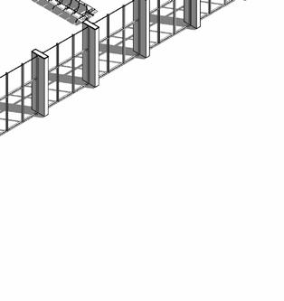
Space for pier promenade
Stair core for departures area
Stair core for staff
Stair core for arrivals area Multi-purpose area
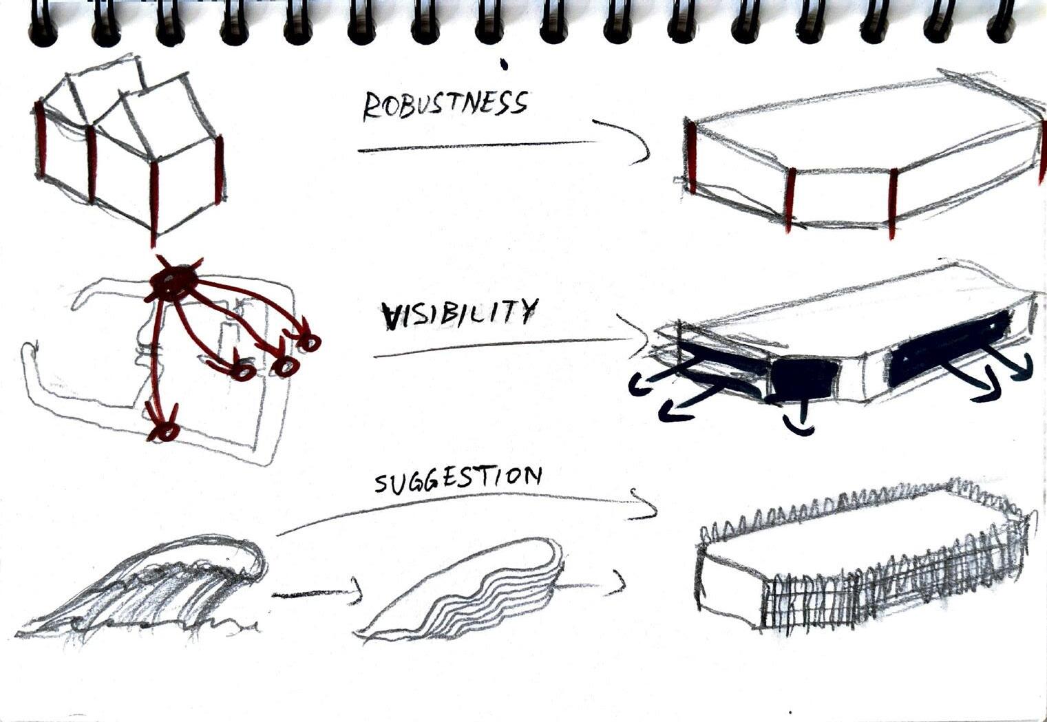
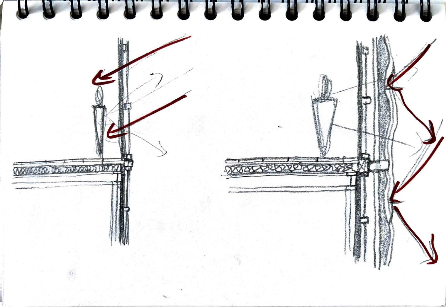
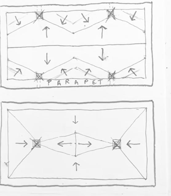
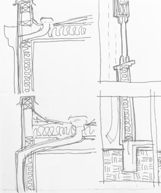
Design Development through Sketches
Massing, Sun Control, and Drainage
Early volumetric explorations testing the overall robustness and compactness of the ferry terminal massing, with attention to maximizing visibility from key approach routes. These studies begin to suggest a relationship between built form and pedestrian experience at the water’s edge
Sectional sketches investigating sun control strategies, focusing on the placement and depth of shading elements. These drawings explore how facade articulation can balance natural daylight access with protection from excessive solar gain, informing both environmental performance and spatial character
Progressive section and detail sketches addressing drainage, facade inclination, and roof slope development. These studies examine how water management systems—gutters, slopes, drainage points—can be integrated into the architectural language to resolve both functional performance and aesthetic coherence, ensuring longevity and material expression
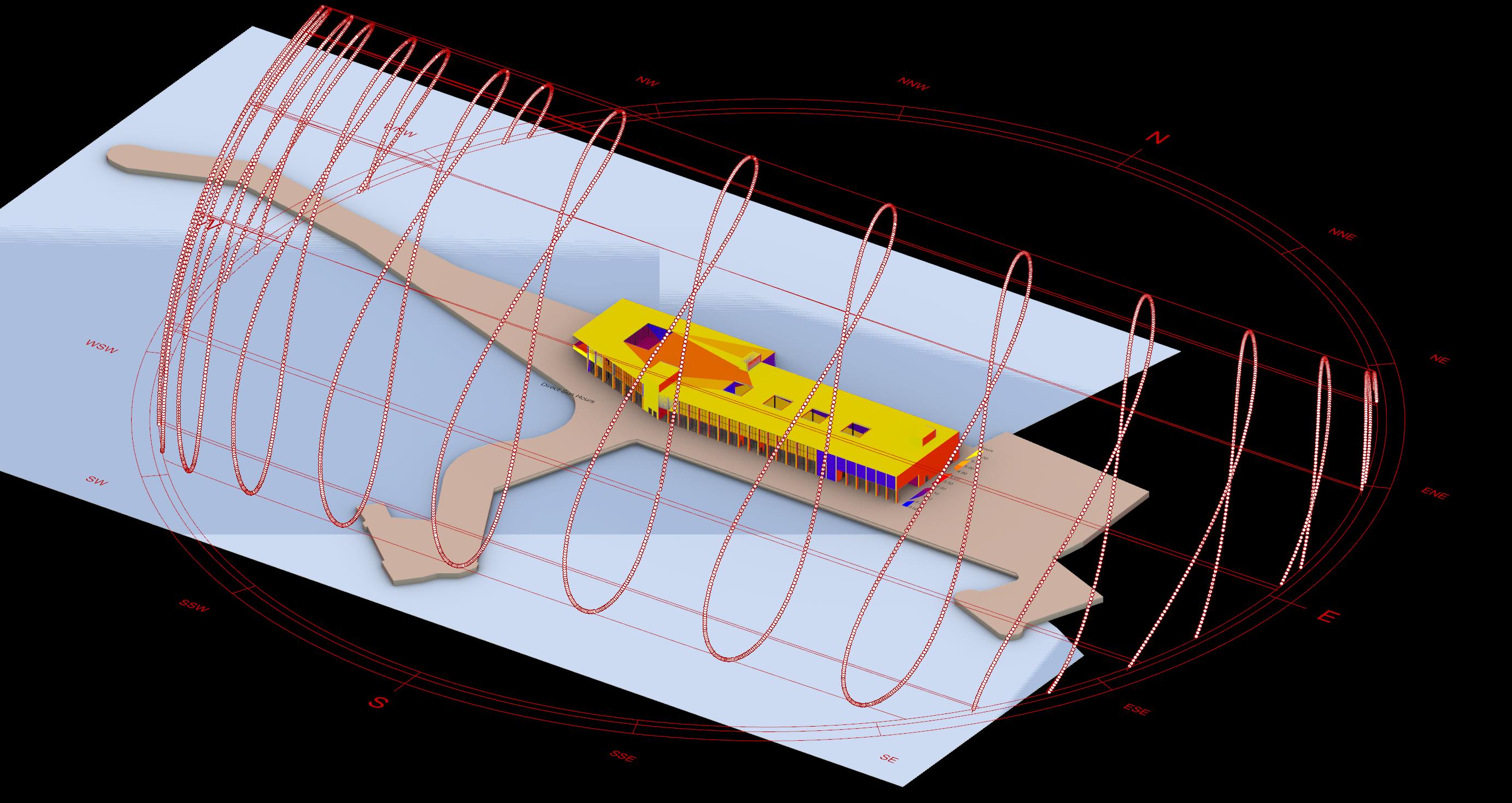
Environmental and Orientation Strategy
Informing Passive Design through Solar Exposure Analysis
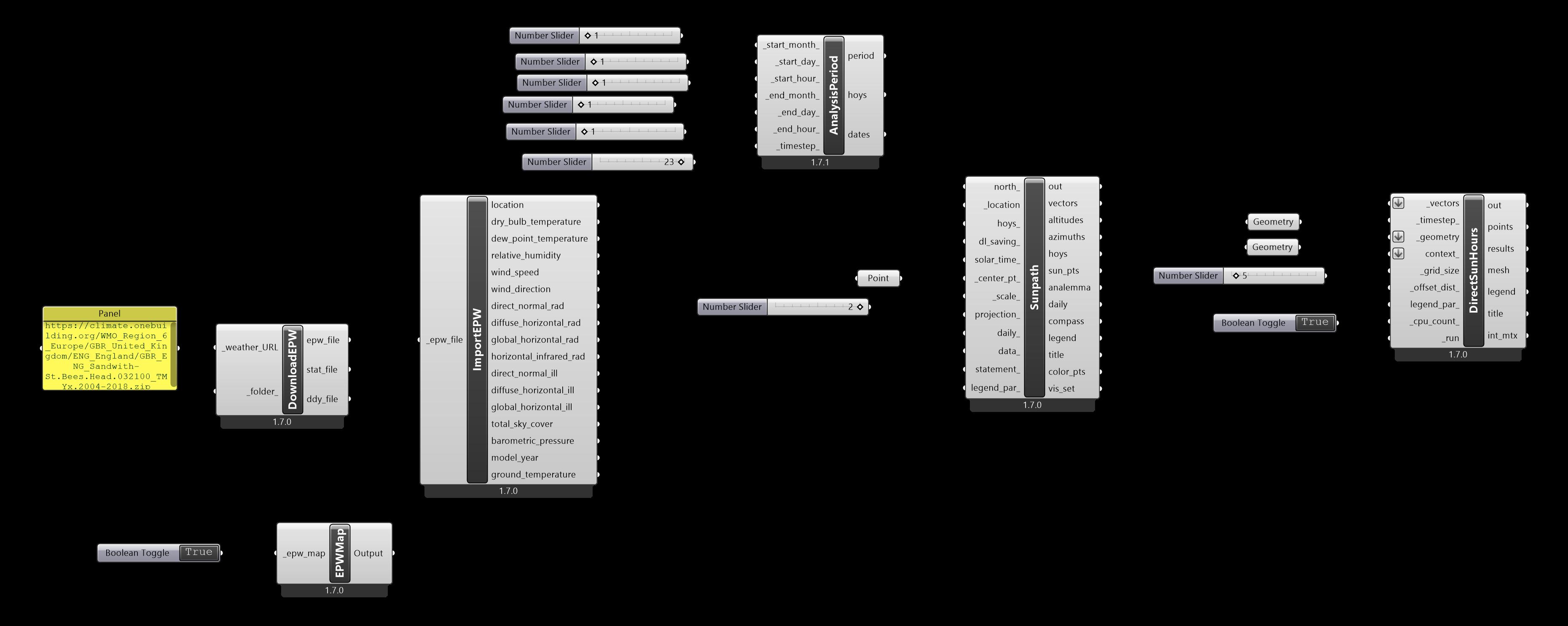
This solar exposure analysis evaluates the ferry terminal’s orientation and geometry in relation to the site’s annual sun path. Using environmental simulation tools in Grasshopper, the study quantifies direct sunlight hours across the building envelope, highlighting zones of higher solar exposure and potential overheating risk.
The results reveal that the terminal's western and southern façades receive the most prolonged sun exposure, particularly in summer, guiding the strategic placement of overhangs, louver systems, and internal program zoning. In contrast, the northern and shaded zones offer opportunities for housing utility cores or circulation.
By integrating this sun study into the early design process, the scheme advances the project’s environmental responsiveness, aligning with the principle of sustainable transport infrastructure while enhancing thermal comfort and energy efficiency for ferry passengers and staff.
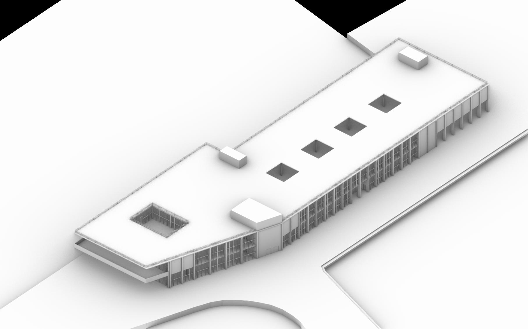
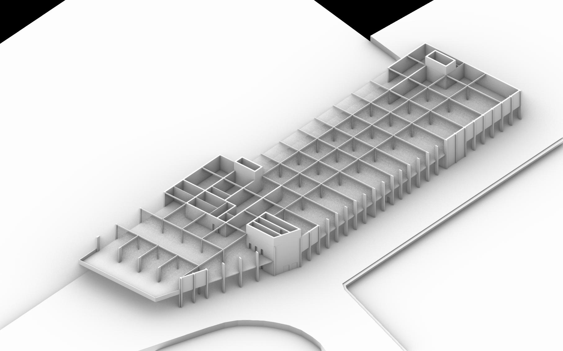
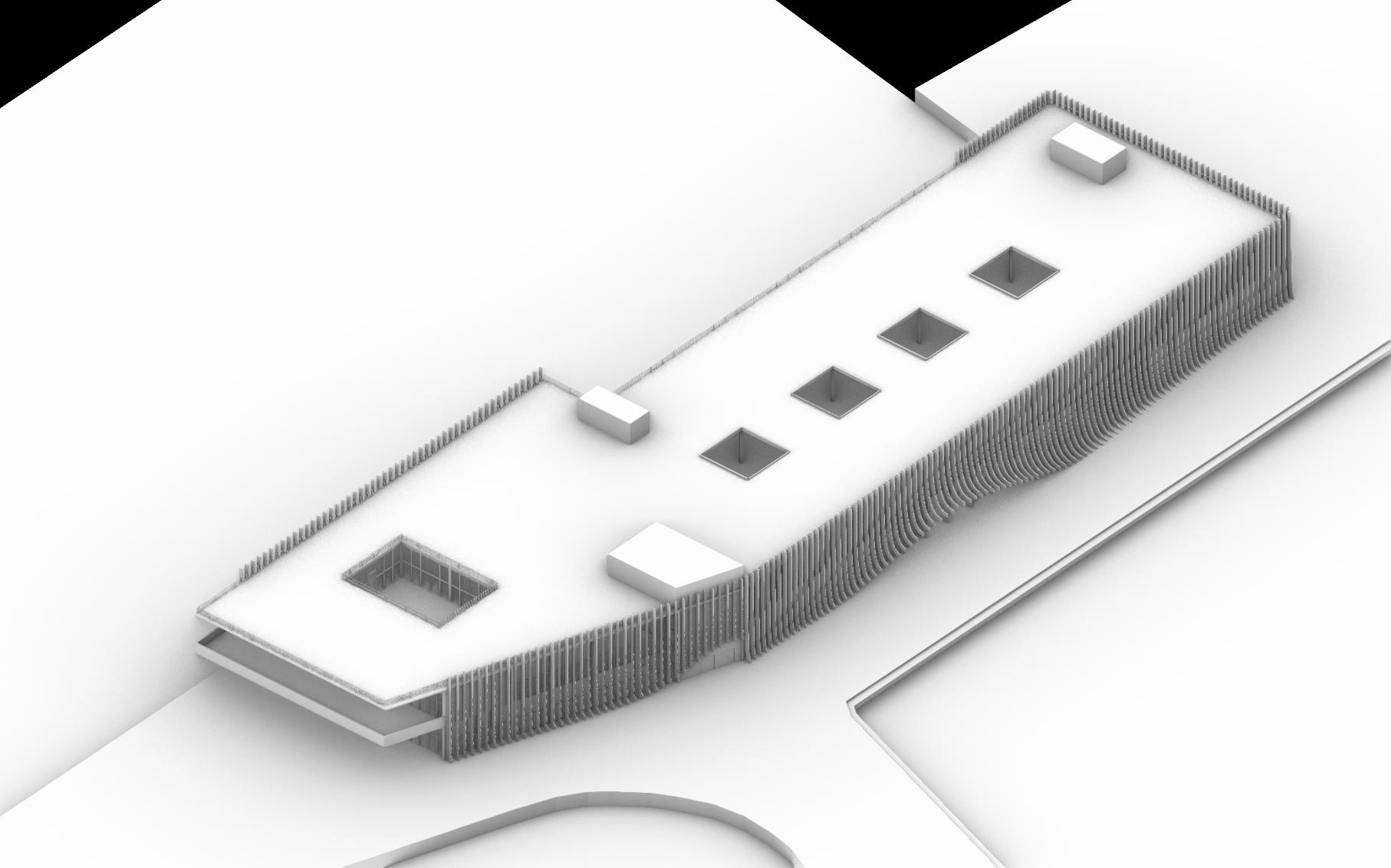
Spatial Development through Models
Phase 1 Ferry Terminal
Iterative spatial testing of the Phase 1 ferry terminal: exploring circulation, structure, and programmatic resolution through progressive digital modeling
Spatial Development through Models
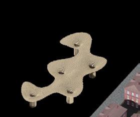
Phase 4 Pavilion
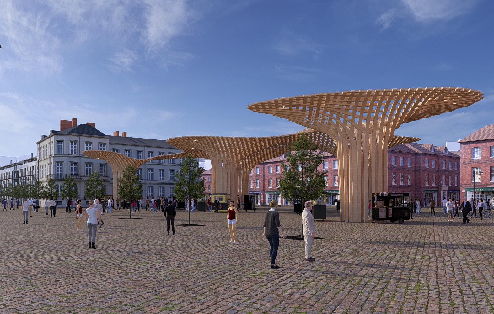
Initial formal explorations of the pavilion: developing fluid, organic geometries and testing overall massing strategies to ensure lightness, openness, and a responsive site footprint
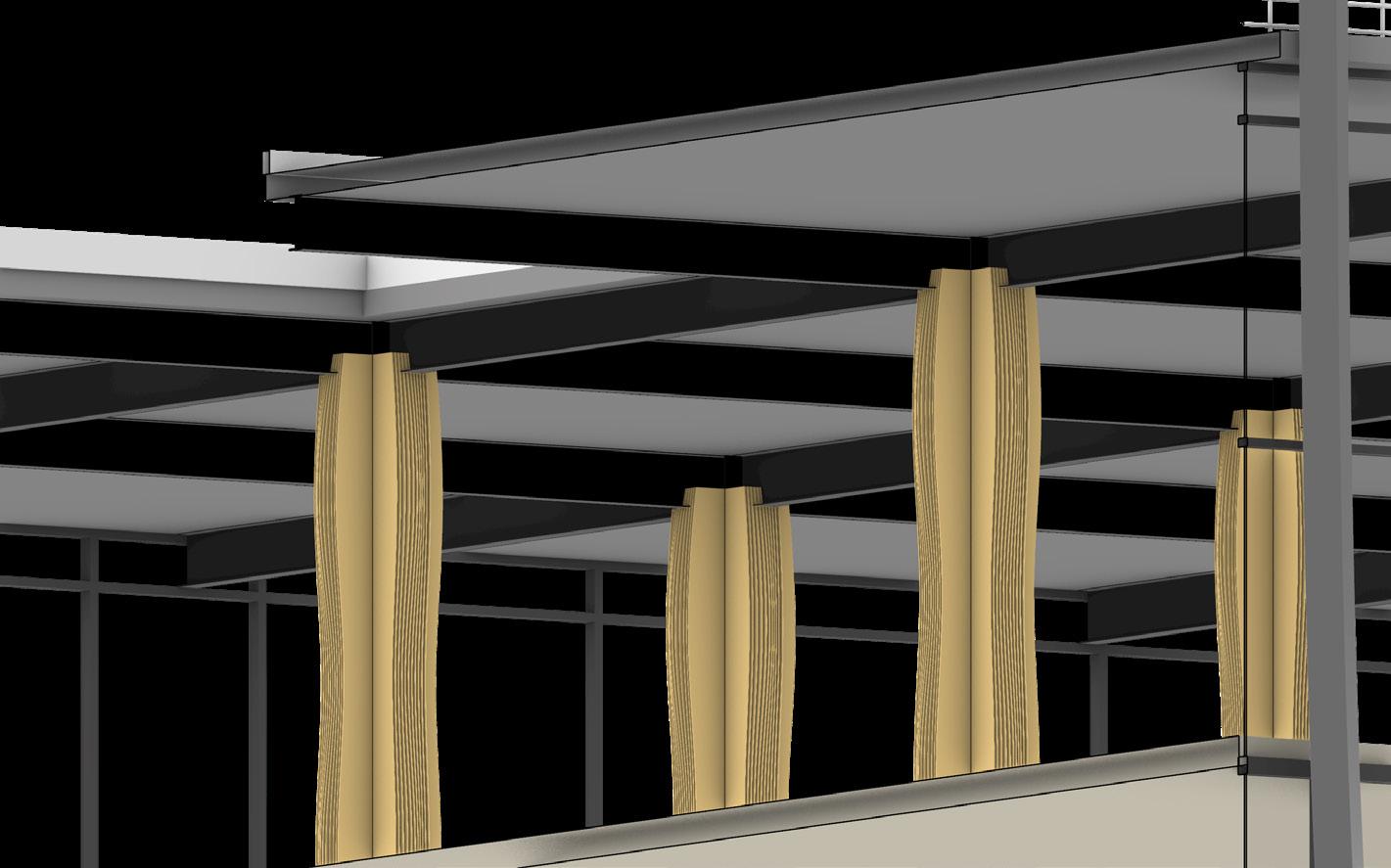
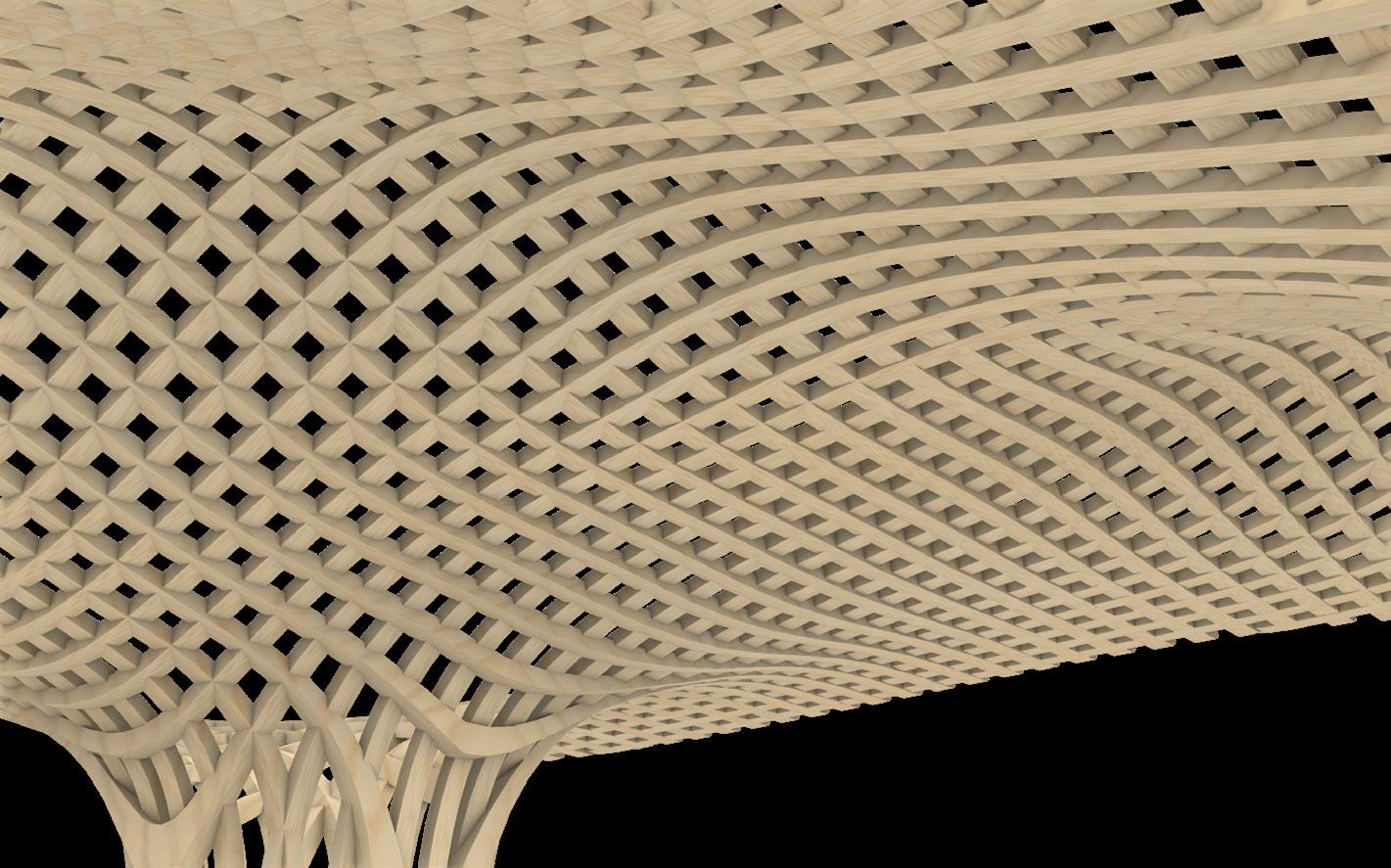
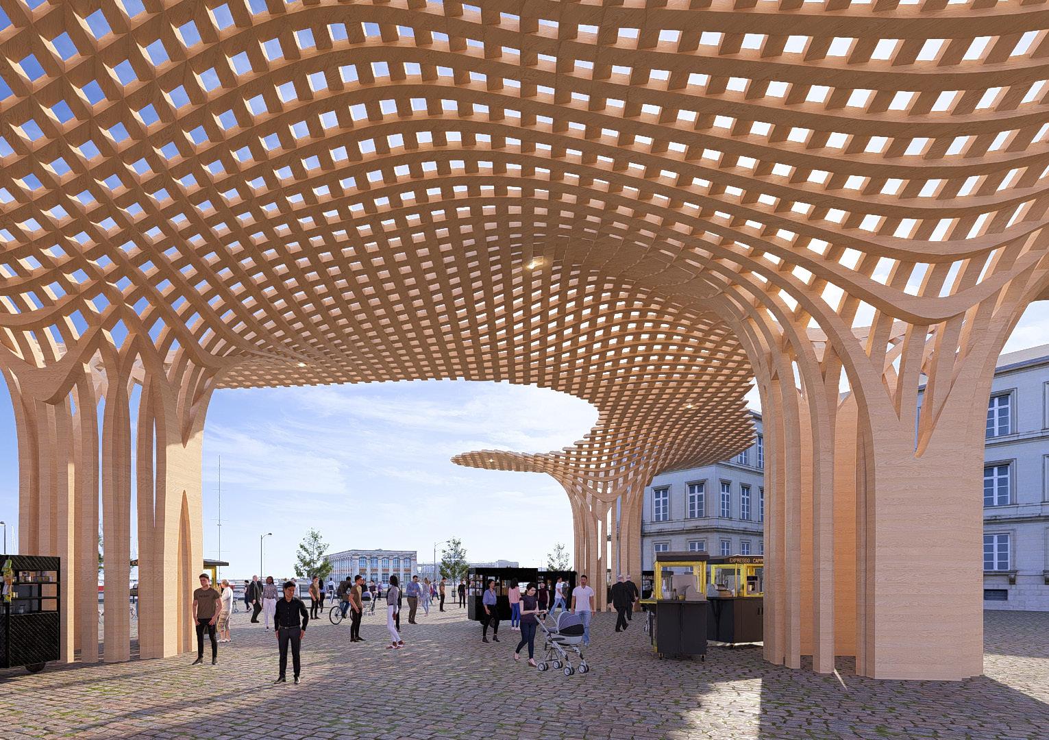
Material and structural articulation: refining the pavilion’s design through parametric mesh studies and wood-inspired tectonics to balance expressive form with buildability and environmental performance
Conceptual visualization of the pavilion in context: demonstrating how sculptural form and structural rhythm create a porous canopy that activates public space and fosters community engagement
Iterative Micro Interventions
From Waves' Curvature to Sunlight Control and User Experience Comfort
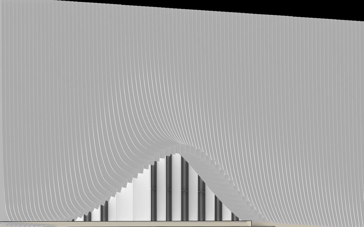
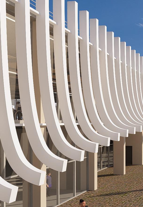
Exploration of wave-inspired curvature to generate a porous façade that mediates light, enhances visual rhythm, and reinforces Whitehaven’s coastal identity, aligning with the tourism principle of place-specific architectural character
Micro-scale structural testing of wooden supports within a steel framework, balancing tectonic expressiveness with buildability, an intervention rooted in the business principle of showcasing local craftsmanship through legible structure
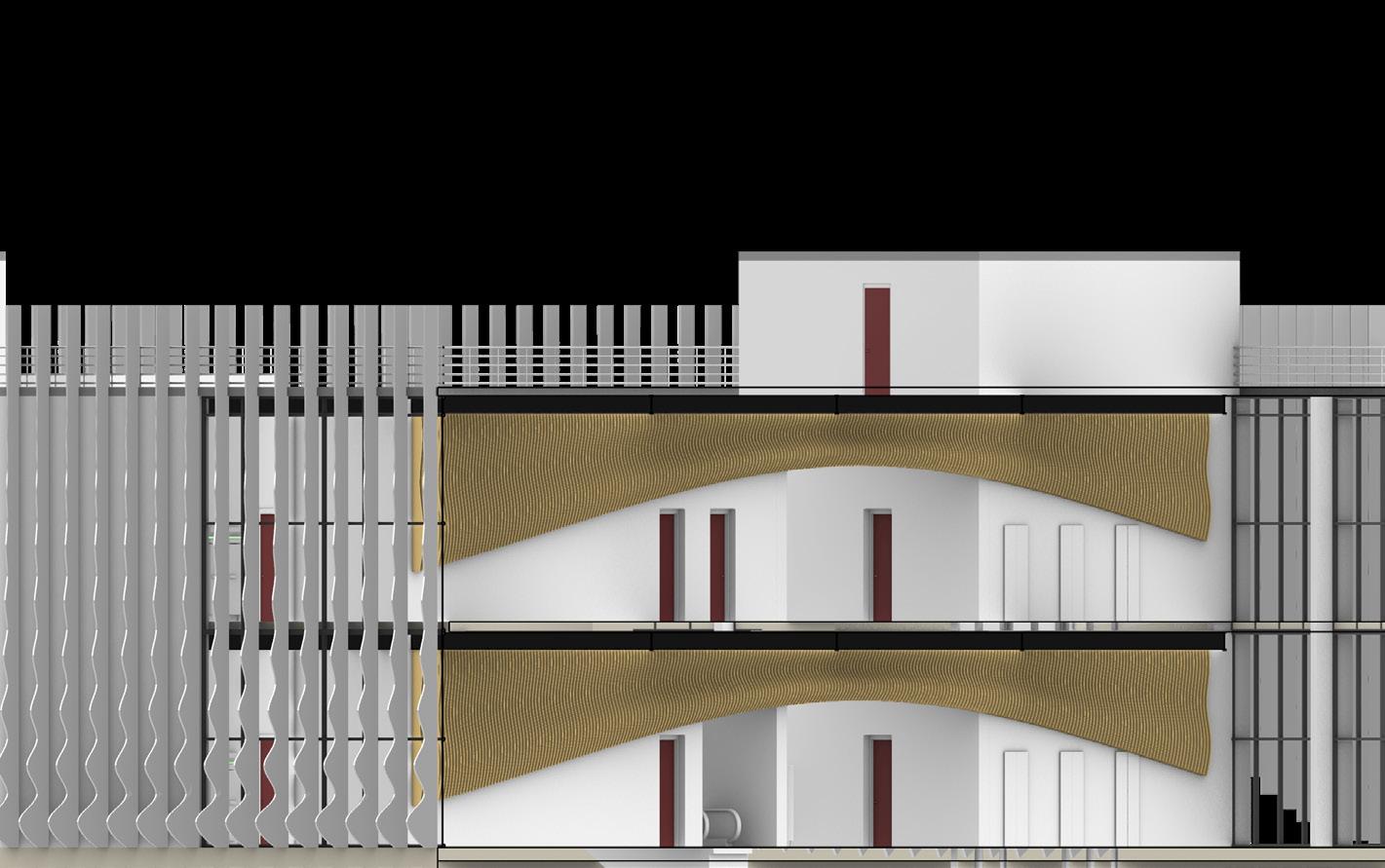
Sectional development of layered screening elements that optimize passive solar control while creating a rich, shaded threshold space, supporting user comfort and environmental performance under the transport and tourism principles
Material articulation of a woven timber canopy for phase 4, that fosters spatial intimacy, filtered daylight, and thermal regulation, reflecting the intersection of tourism (user experience) and transport (climatic resilience) principles
Elevation Development
Parametric Iterations
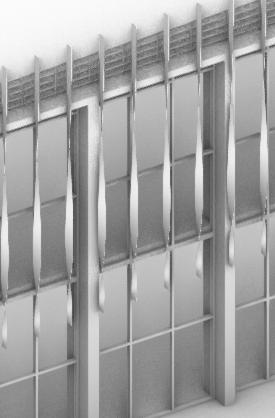
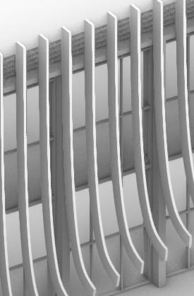
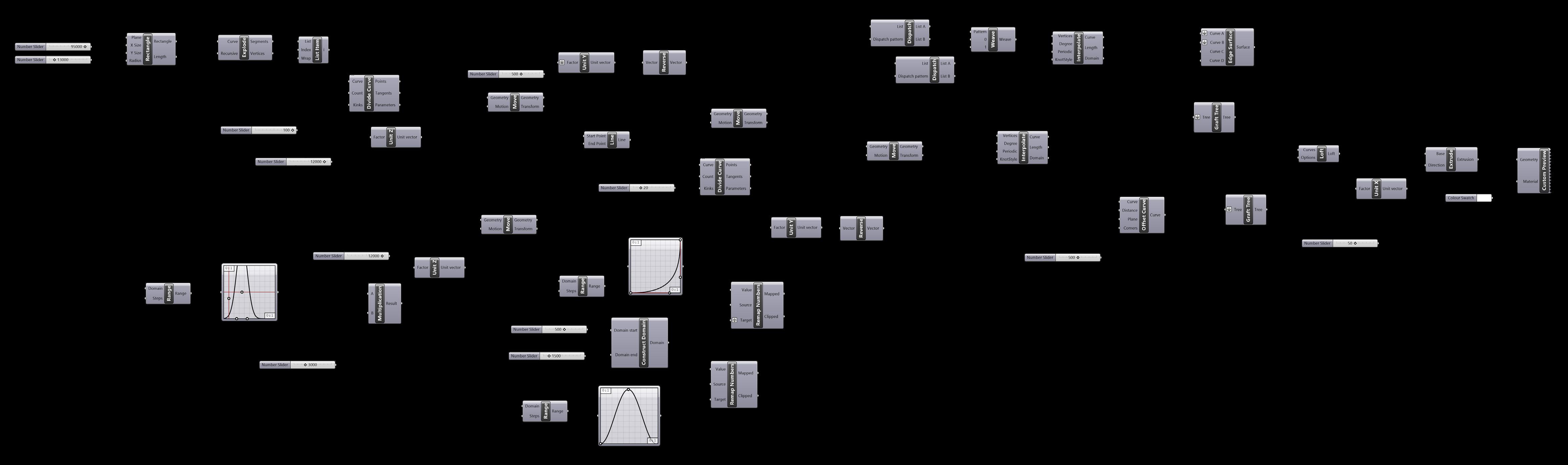
Testing out fins iterations for the main elevations, using Grasshopper scripts, in order to provide some level of lighting control and also offer a sense of water, suggesting the building's role as a ferry terminal hub
Elevation Development
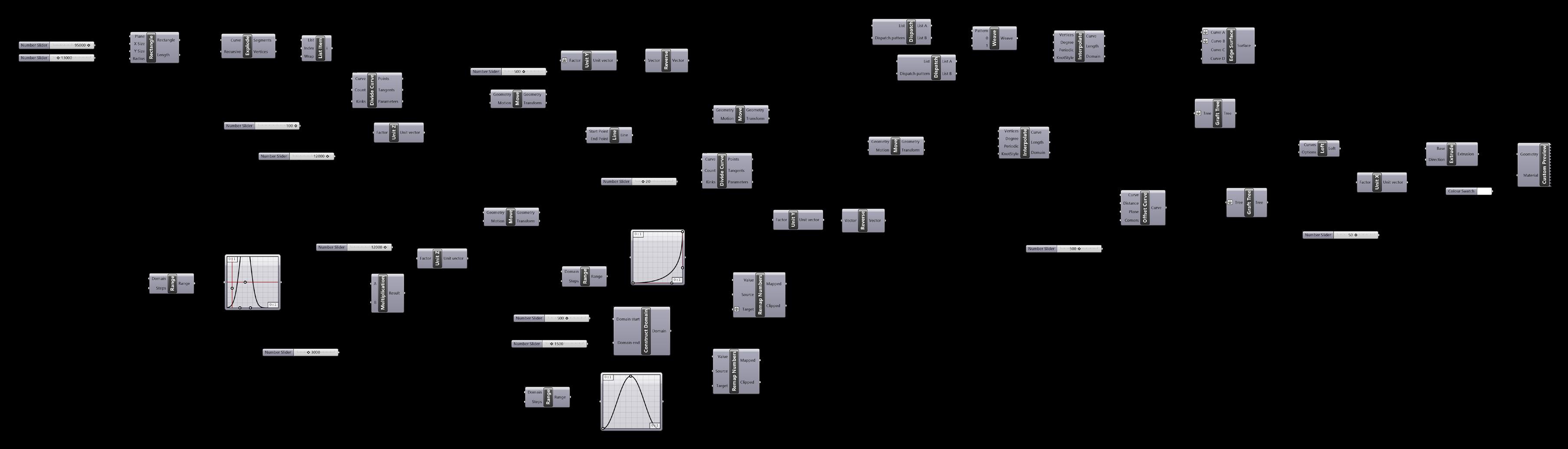
Grasshopper Parametric Script for Curved Fins Assembly
Setting up parameters for the surface and volume occupied by the group of fins
Setting up parameters for multiplication and arrangement of the fins across pre-established parameters
Setting up parameters for the lift of the fins above main entrances and fire exits
Setting up parameters for the curvature of the set of fins across two perpedincular axes
Setting up parameters for the randomness of curved tips across perpendincular axes to the pre-established fins
Exploratory Spatiality
Floor Studies
Exploratory Spatiality
Sectional Studies
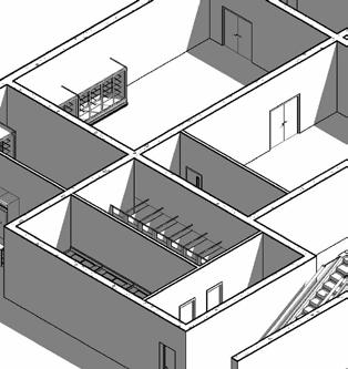
Encircled Exposed Terrace (part of multi-purpose area)
Means Vertical Accessibility (Escalator / Lift)
Connections between Multi-Purpose area and Departures area (retail)
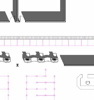
Programmatic Role and Tourist Flow
Defining Access, Activation, and Connectivity within the Masterplan
PASSENGER ARRIVAL POINT
FERRY TERMINAL - CATALYST
PAVILION - ATTRACTOR
ADAPTIVE REUSED AREAS - INCOME BENEFICIARY
WATERFRONT PEDESTRIAN AREA - CONNECTOR
HIGH STREET PEDESTRIAN AREA - DESTINATION
TOURIST PROJECTED ROUTE
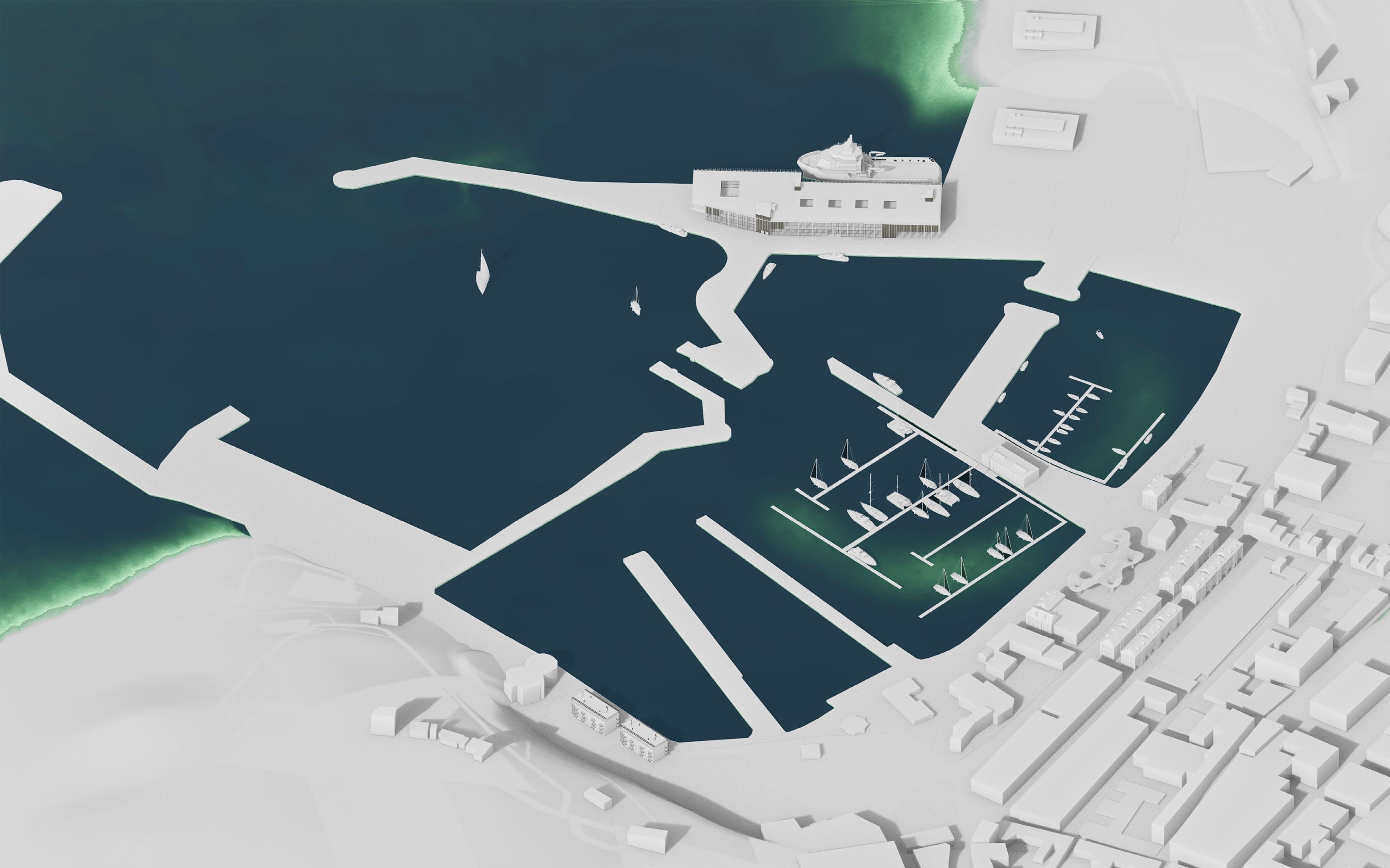
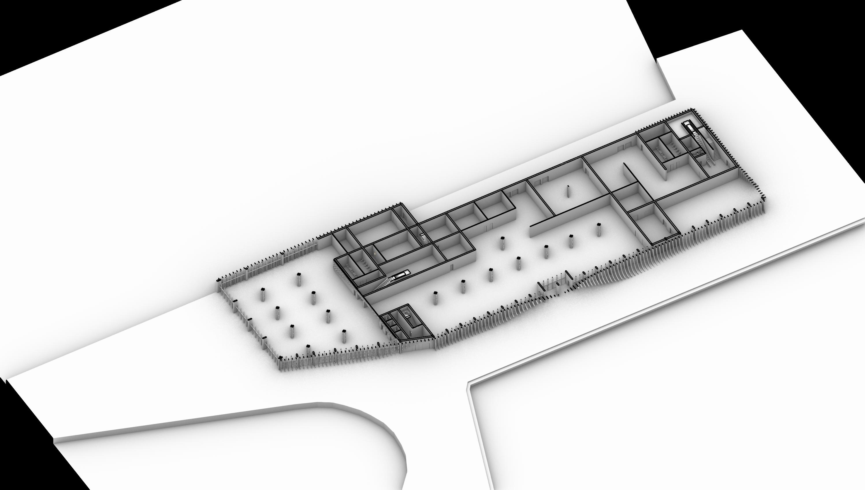
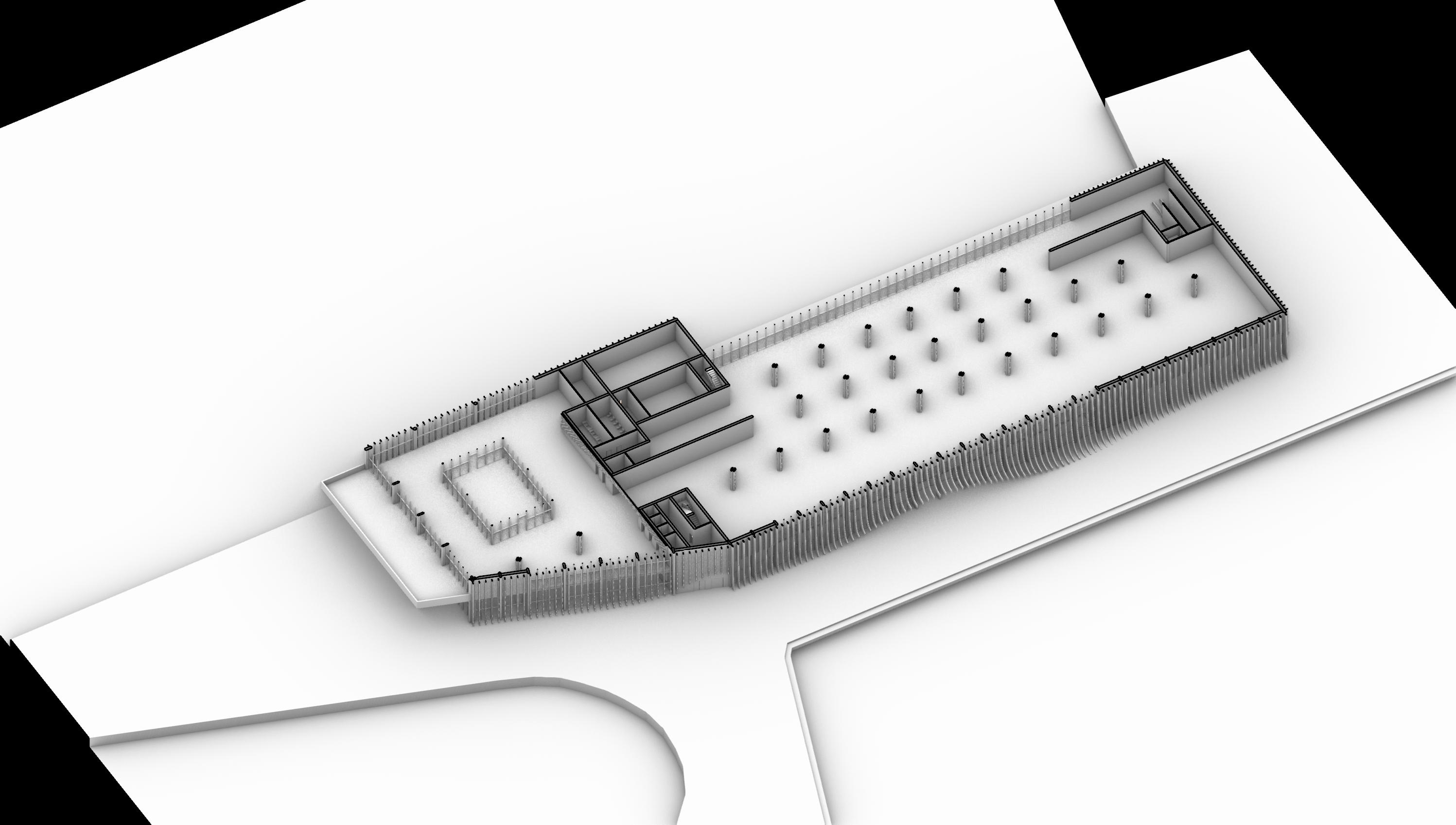
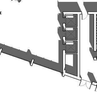
WHITEHAVEN HARBOUR MASTERPLAN
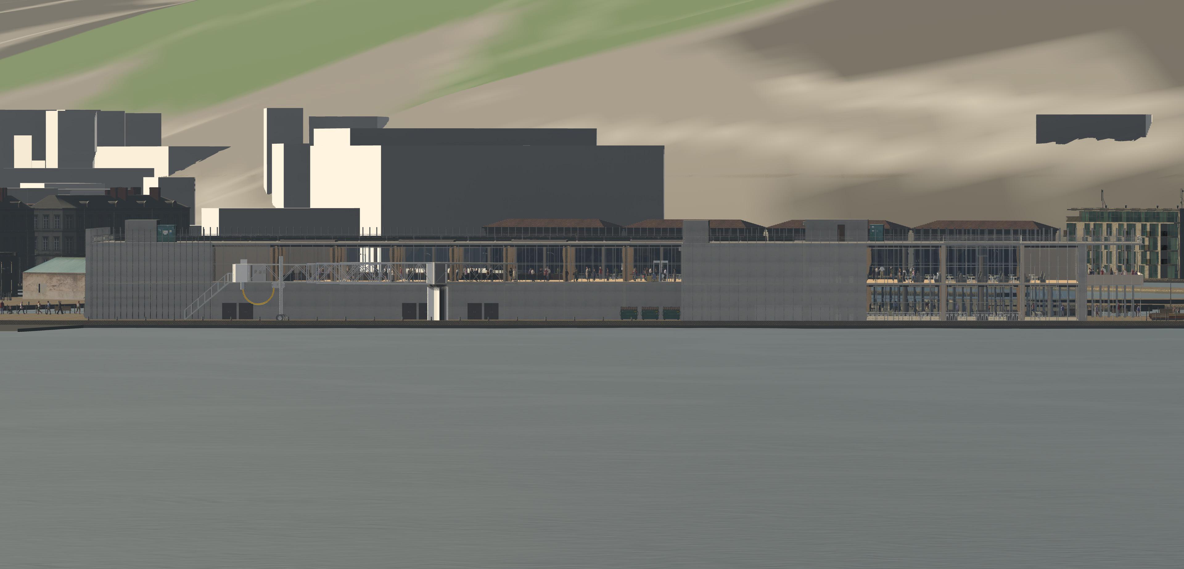
Contextual Drawings
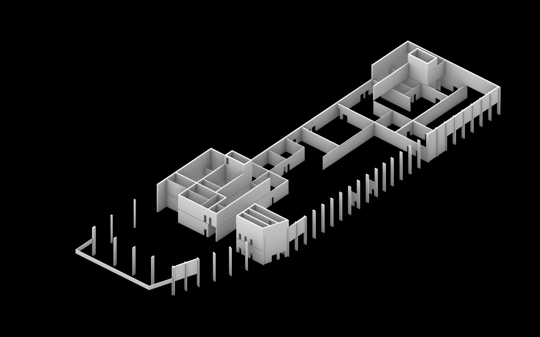
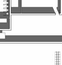
Site Plan - 1:1000
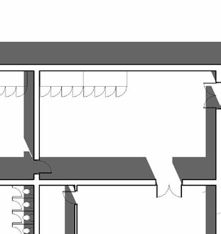
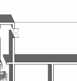
Contextual Drawings
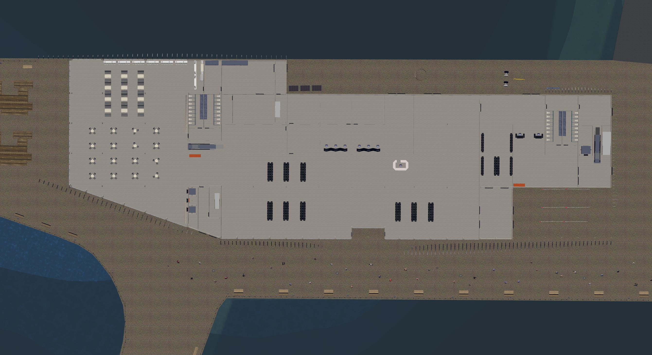
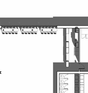
Ground Floor Plan - 1:400
Contextual Drawings
Contextual Drawings
Contextual Drawings
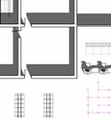
Elevation South - Scale 1:400
Contextual Drawings
Elevation North - Scale 1:400
Contextual Drawings
Elevation West - Scale 1:200
Contextual Drawings
Elevation East - Scale 1:200
Contextual Drawings
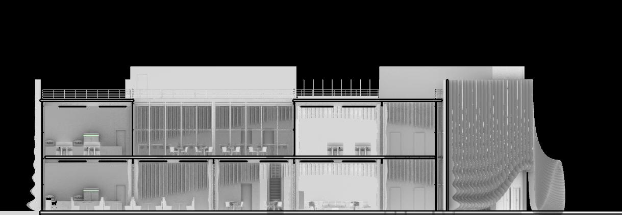
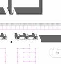
Section AA - Scale 1:400
Contextual Drawings
Section BB - Scale 1:200
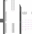
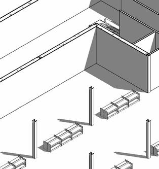
Structural Assembly
Revealing the Ferry Terminal's Load-Bearing Elements
Technical Detail
Facade to Roof and Floor Junctions - Scale 1:5
1. Metal Deck (Steel Mill Finish), 10mm
2. EPDM Roof Membrane , 6mm
3. Cast-in-Place Concrete Roof Slab, 145mm
4. Rigid Foam Insulation Board, 35mm
5. Asphalt Layer, 30mm
6. Stainless Steel Support Bracket
7. Steel Bracket
8. Soda Lime Double Glazed Glass
9. Cast-in-Place Concrete Wall
10. Structural Steel I-Beam, ASTM A992
11. Marine-Grade Anodized Aluminium Fins
12. Oak Floor Finish
13. Cast-in-Place Concrete 14. Aluminium Frame
Precast Concrete
Plaster Ceiling Finish
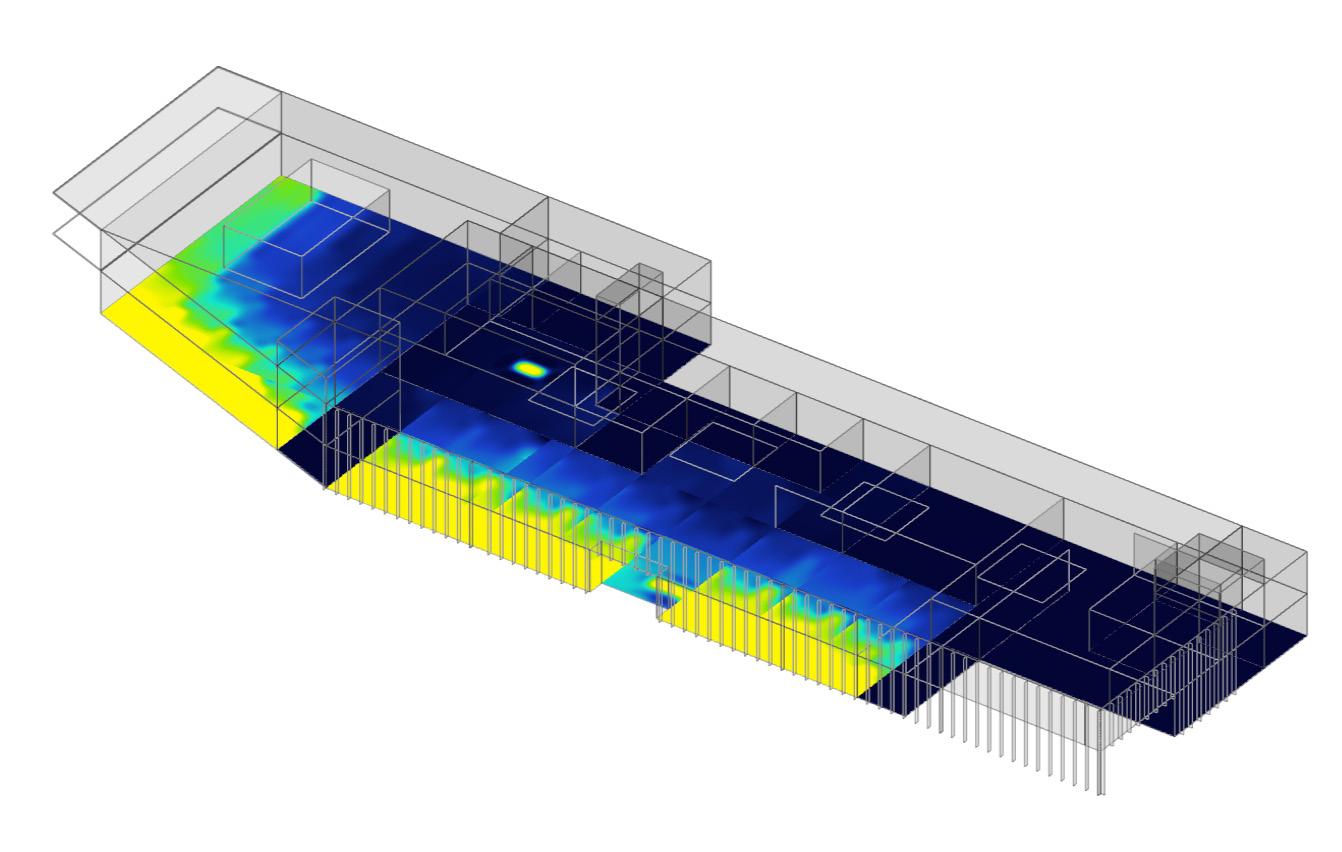
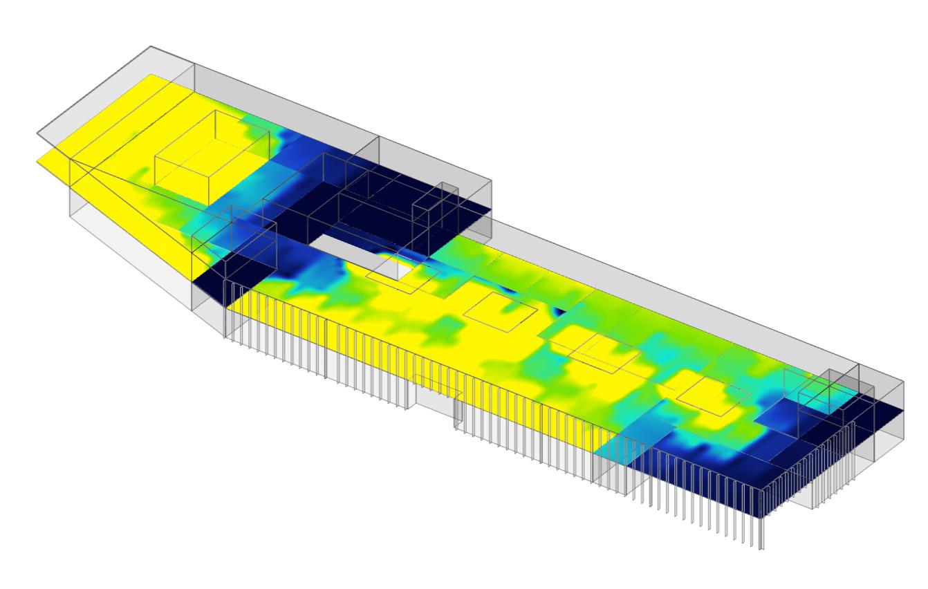
Environmental Analysis
Using Sefaira for Calculating Light Exposure and Energy Consumption
This simulation shows that the ground floor experiences limited daylight penetration, particularly in the central core. Strategic placement of public amenities and circulation areas in low-exposure zones supports energy efficiency by reducing unnecessary artificial lighting demand.
The first floor benefits from strong natural light along the south-facing edge, ideal for retail and waiting areas. Spaces deeper within the plan receive less exposure, making them suitable for storage or technical zones, ensuring an efficient daylighting strategy across the terminal.
Lux levels on March 21 at 12 am measured at 0.80 meters above the floor plate. Time does not take into account daylight savings time
Ground Floor Light Exposure Map
First Floor Light Exposure Map
Building Design
Part B - Fire Safety
The fire safety strategy for the ferry terminal prioritizes safe evacuation and firefighter access through clearly defined vertical and horizontal circulation. All occupied areas are within 45 meters of a place of safety, complying with the maximum travel distance specified in Approved Document B. Two protected stair cores serve the terminal: the western core integrates a firefighting lift shaft, while the eastern core houses a general-purpose lift. Both are enclosed within fire-rated compartments, ensuring smoke control and safe egress even in the event of fire. Circulation zoning further enhances compartmentalisation, limiting fire spread and supporting phased evacuation.
EMERGENCY EXIT
MAXIMUM
PROTECTED CORE
Building Design
Part L - Conservation of Fuel and Power
The energy strategy for the ferry terminal aligns with Part L regulations by minimizing operational energy demand and reducing carbon emissions over the building’s lifespan. Using Sefaira and OneClick LCA tools, both regulated and unregulated energy uses were modelled, revealing strong performance against RIBA 2030 Challenge benchmarks.
Lifecycle analysis highlights material efficiencies and outlines embodied carbon contributions at each construction stage, while operational energy projections consider passive design and efficient services. Offset scenarios evaluate long-term decarbonisation benefits, guiding potential retrofit strategies. Overall, the design prioritizes long-term environmental performance through efficient zoning, durable materials, and climateconscious planning.
Embodied carbon over the life cycle
Comprises stages A1-A5 199
Comprises
N.B. These totals consider emissions incurred over the life of the current building. The value of carbon in existing elements is therefore not included in the total, but is displayed for information. Biogenic carbon has been excluded from these totals to provide clarity on the unavoidable emissions arising from material use. Operational emissions consider gross demand, as opposed to net demand on 3. OUTPUT. Module D represents potential benefits from the reuse of elements designed for deconstruction, including
lock-in of biogenic carbon,
Part M - Access to and Use of Building Building Design
The ferry terminal promotes inclusive access in accordance with Approved Document M, ensuring equitable use across all levels and functions. The primary circulation system integrates step-free routes, wide corridors, and dual lift cores, enabling seamless vertical movement between entrance, check-in, retail, and waiting areas, while also supporting emergency egress in accordance with Part B, as mentioned earlier. Accessible WCs and seating zones are distributed throughout both floors, with clear spatial legibility supporting wayfinding for users with sensory or cognitive impairments. Door widths, thresholds, and internal layouts are designed to accommodate wheelchair users and passengers with reduced mobility. Public-facing facilities, including reception and multi-purpose areas, are positioned adjacent to key access routes, reinforcing the terminal’s universal design ambition.
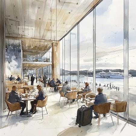
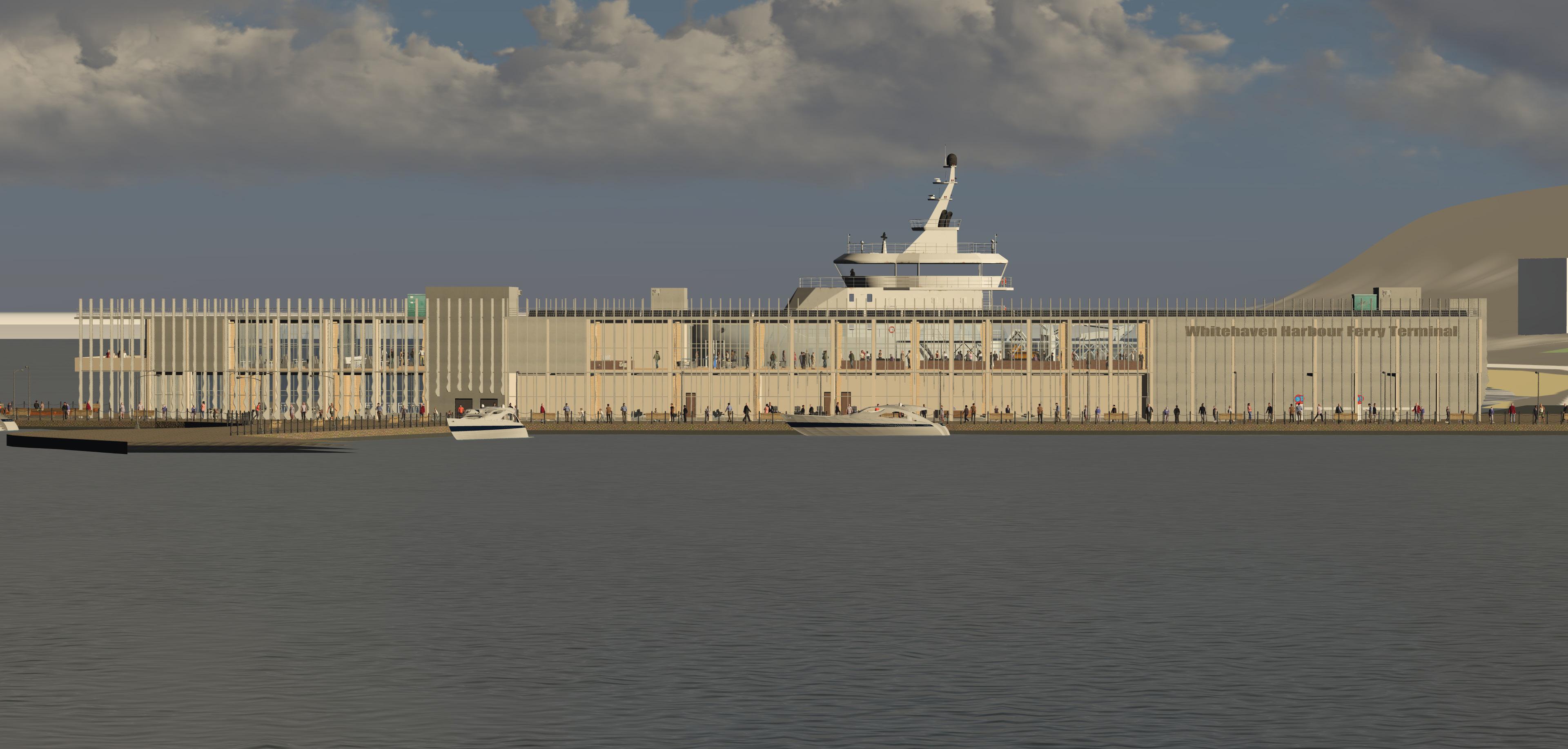
Visualisation
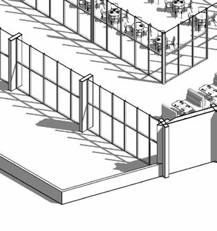
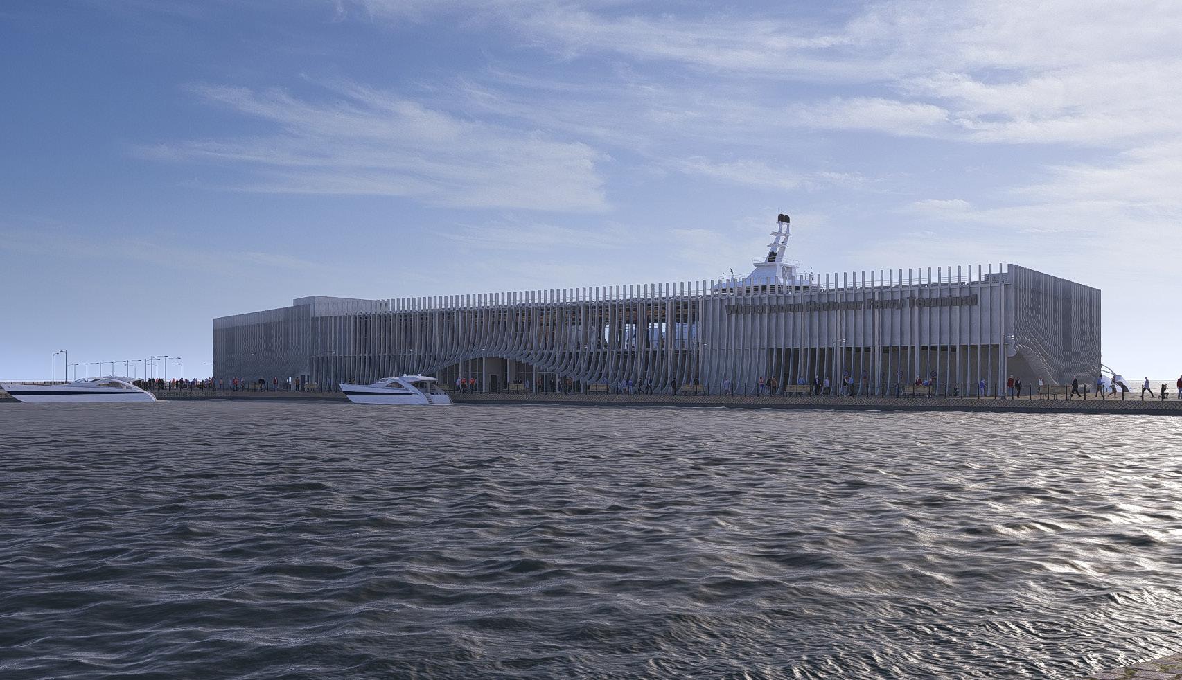
Ferry Terminal seen from Waterfront
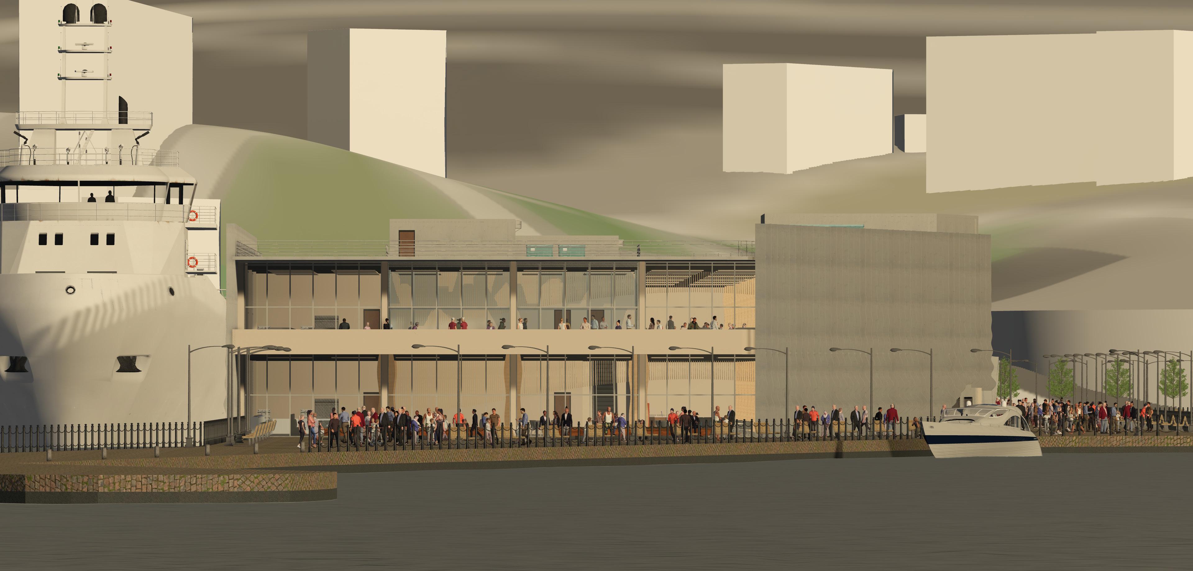
Visualisation
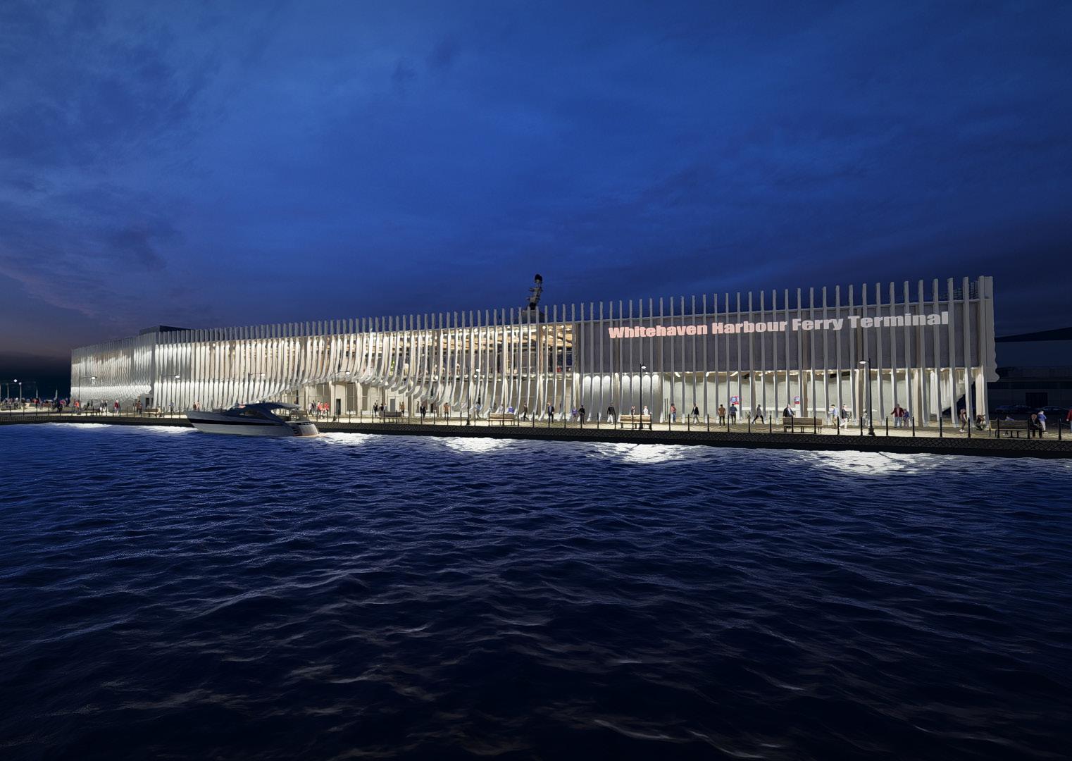
Ferry Terminal during Night from the Opposite Pier
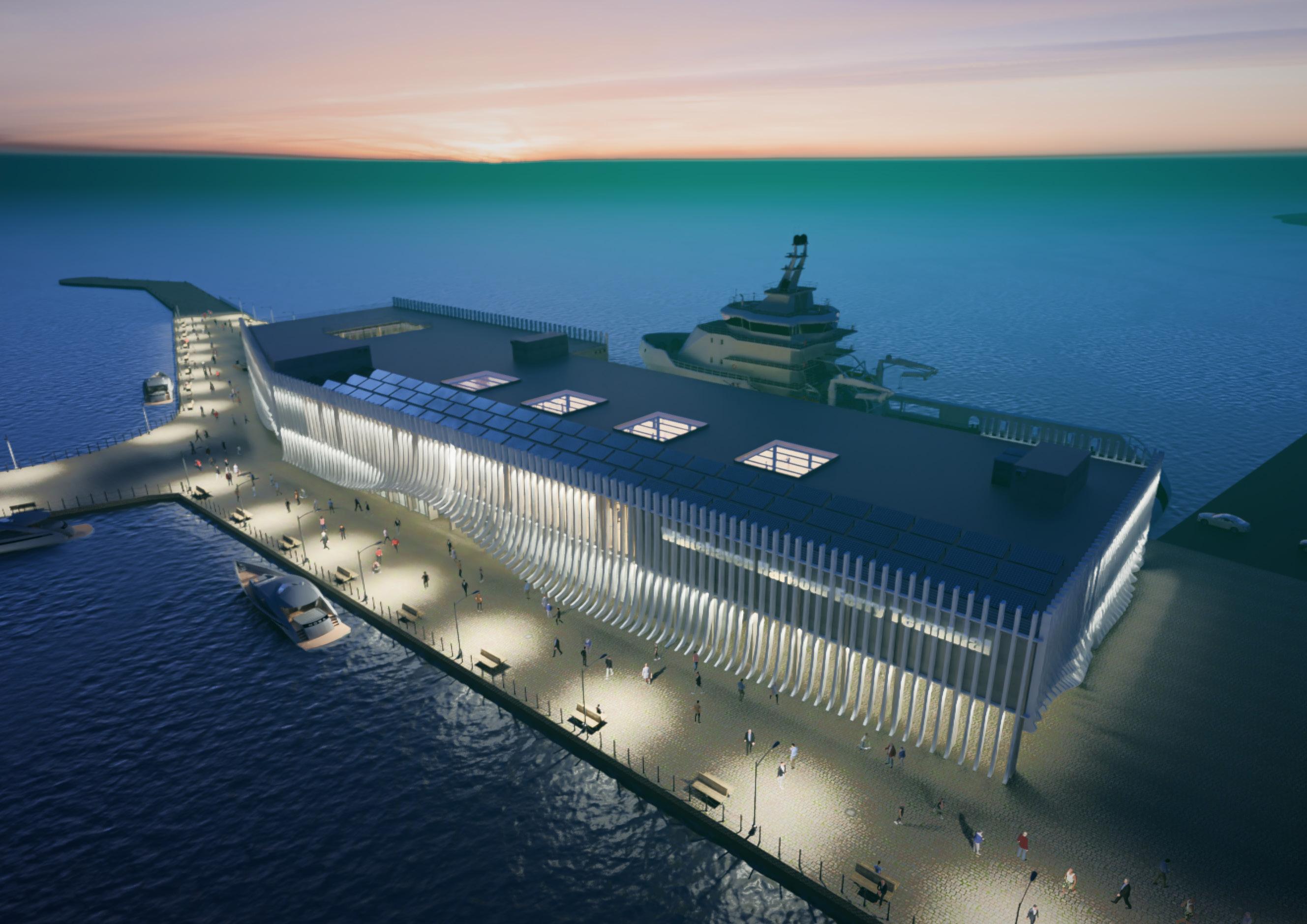
Visualisation
Ferry Terminal Aerial View during Sunset
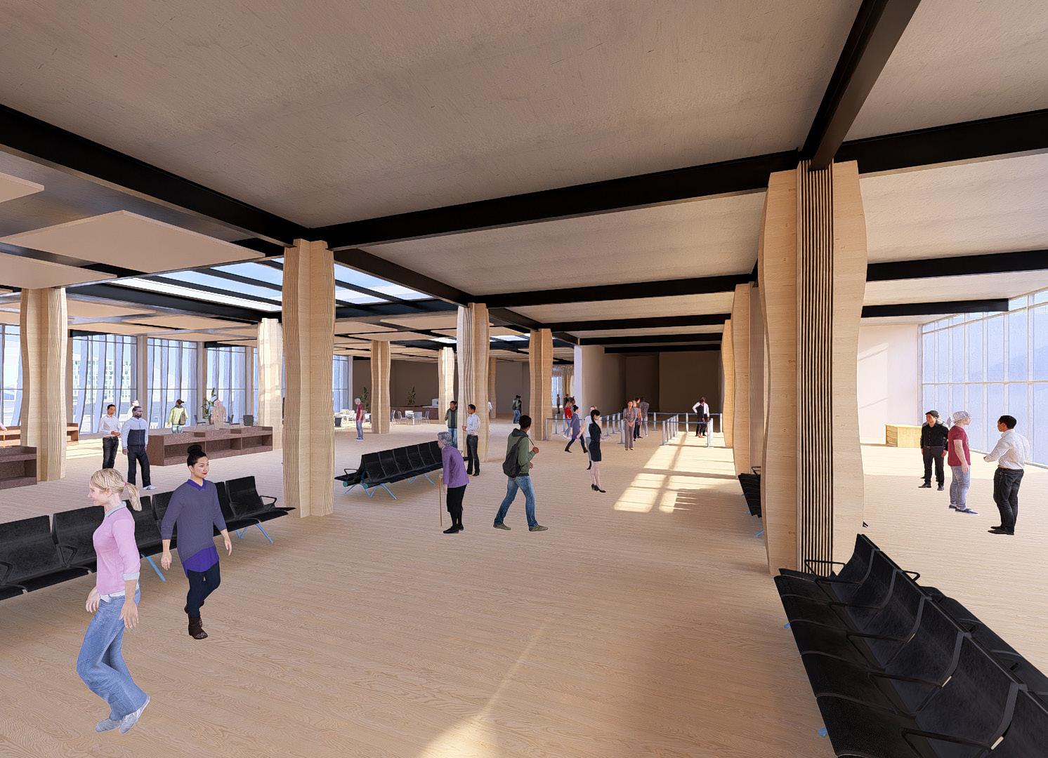
Visualisation
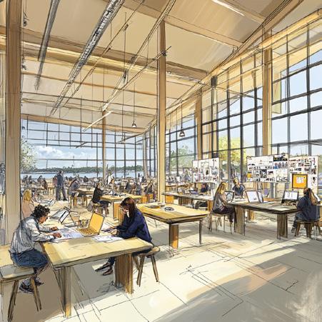
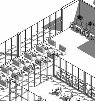
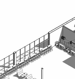
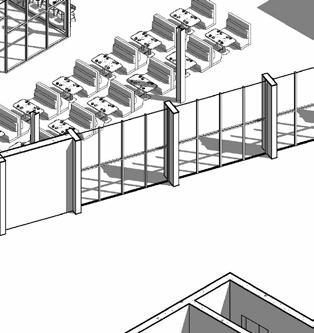
Ferry Terminal Departures Lounge Area during Day
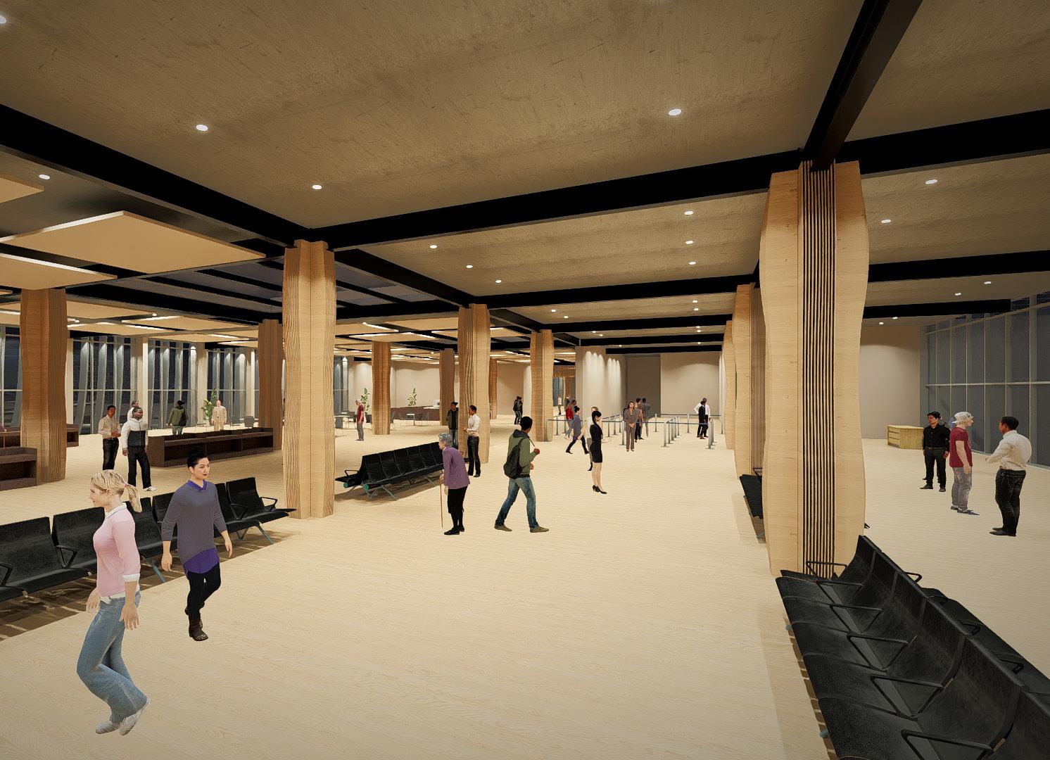
Visualisation
Ferry Terminal Departures Lounge Area during Day
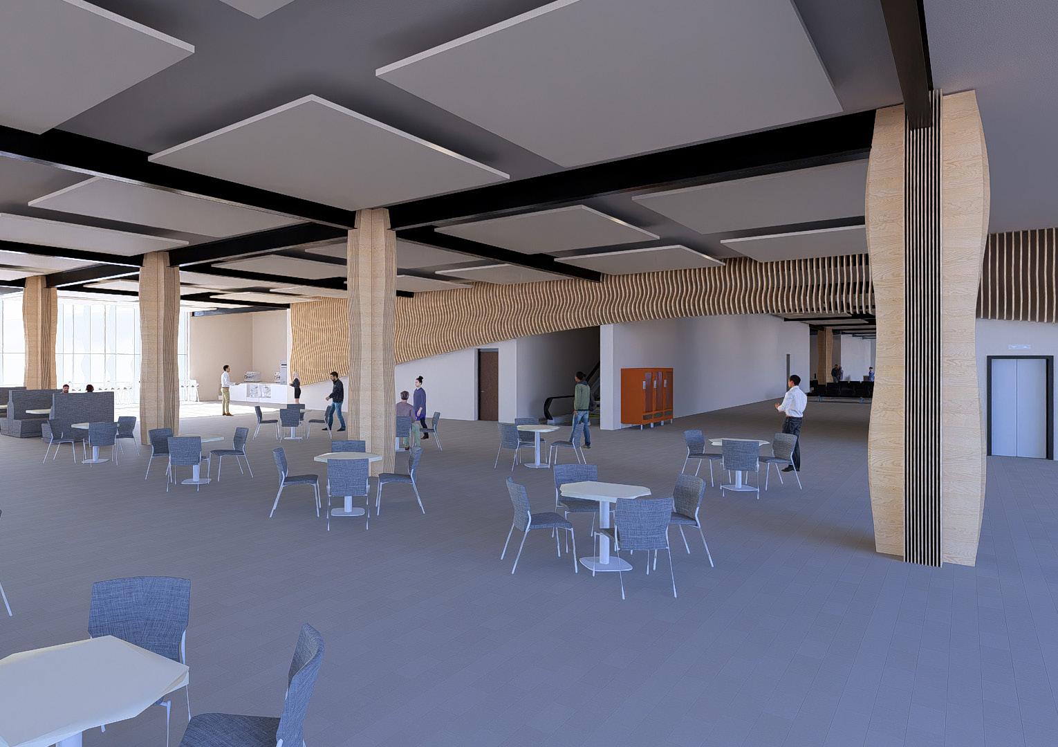
Visualisation
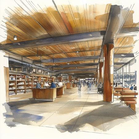
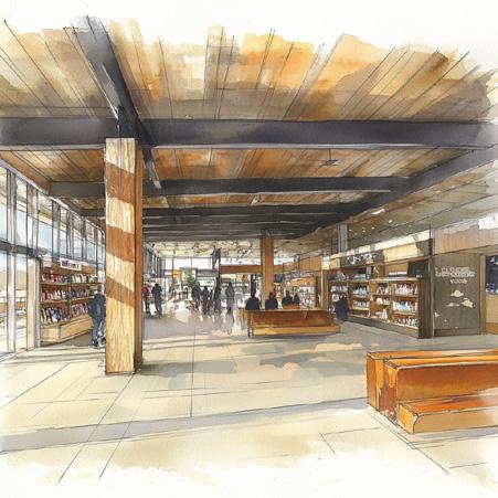
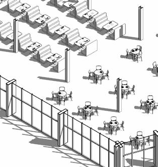
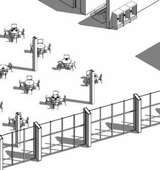
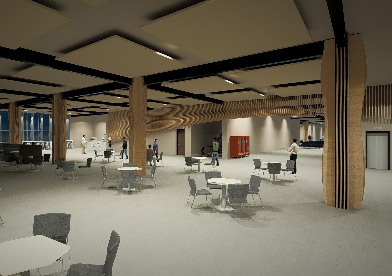
Ferry Terminal Ground Floor Food Hall Area during Day
Visualisation
Ferry Terminal Ground Floor Food Hall Area during Night
Visualisation
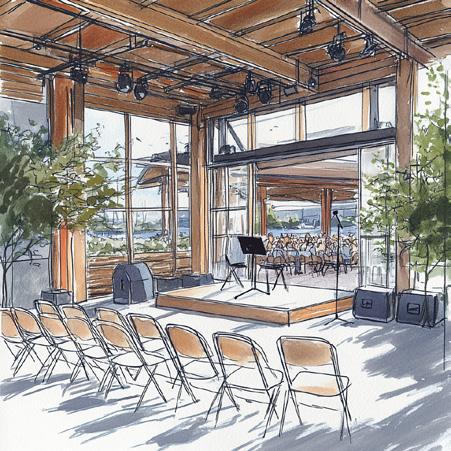
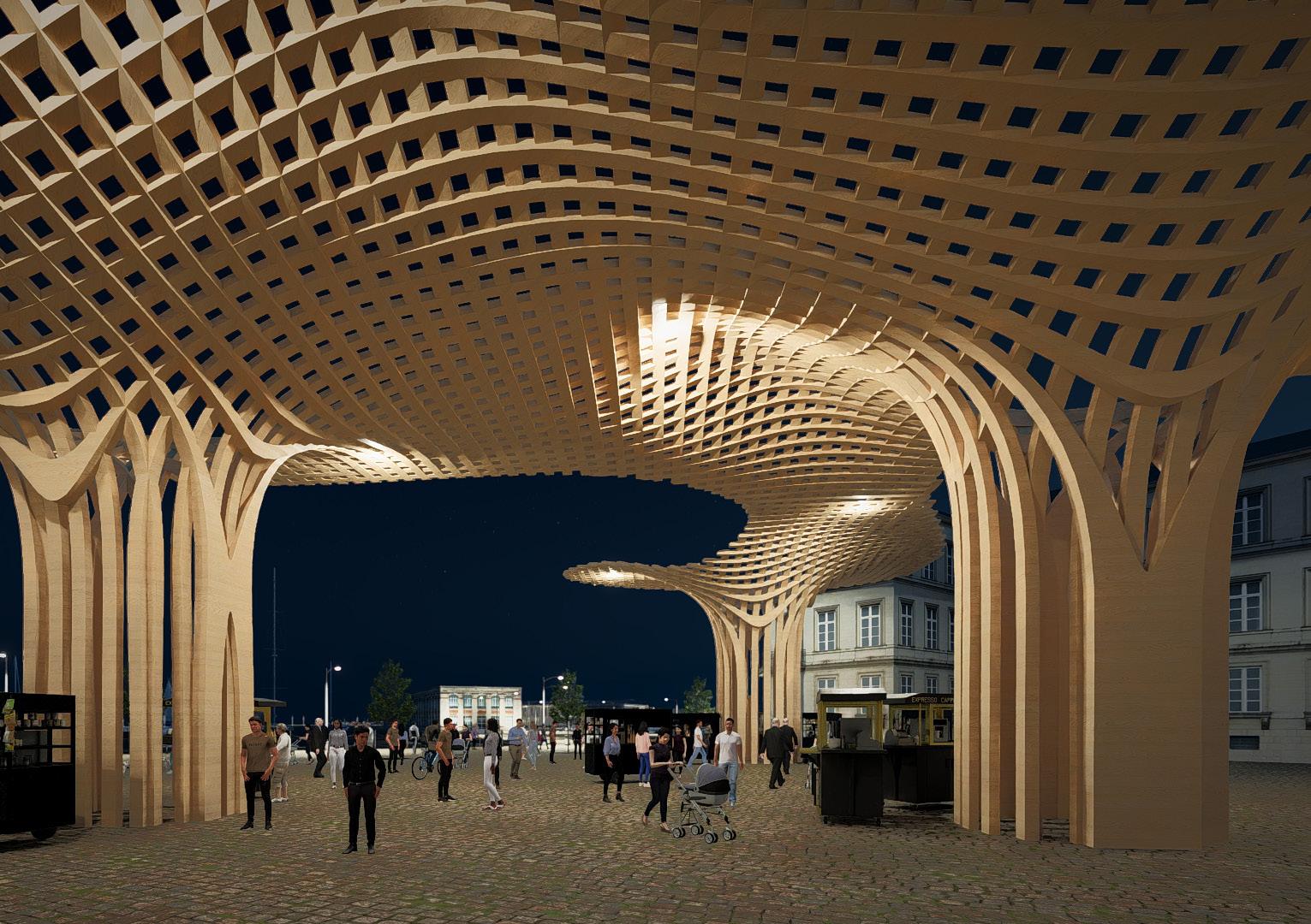
Phase 4 Pavilion during Night
Visualisation
Pavilion Canopy during Day
Visualisation
Pavilion Canopy during Night
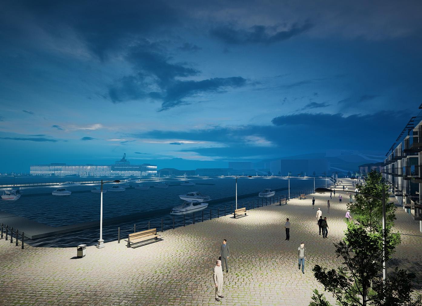
Tourism - Business - Transport Loop Systems Relationship
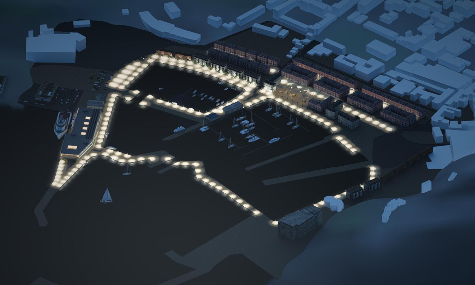
After dusk, a network of illuminated paths reinforces spatial legibility, drawing connections between anchor programmes across the harbour. The continuity of this lit corridor supports both orientation and identity, threading together commercial cores, cultural pavilions, ferry access points, and pedestrian destinations.
Rather than functioning as mere wayfinding, the system performs as an infrastructural loop, linking economic generators, leisure clusters, and mobility hubs into a single coherent circuit. At night, the interplay between public lighting and programmed thresholds becomes an active agent of visibility, safety, and civic symbolism, offering cohesion across distinct phases of development.
BUSINESS TOURISM
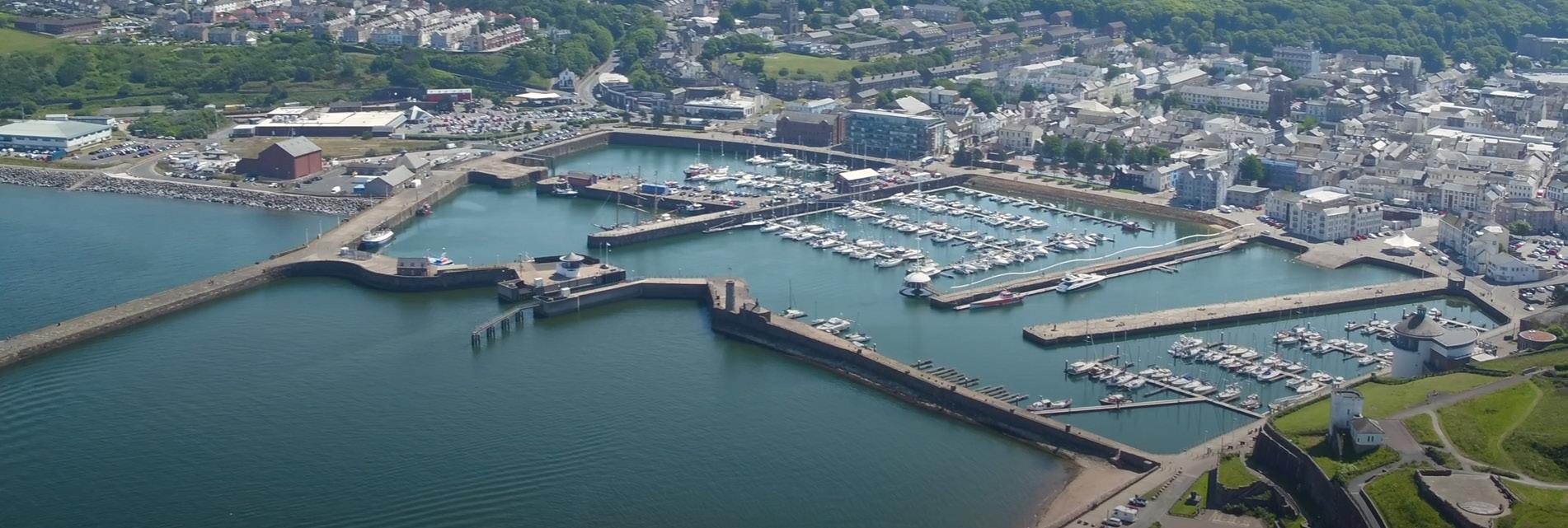
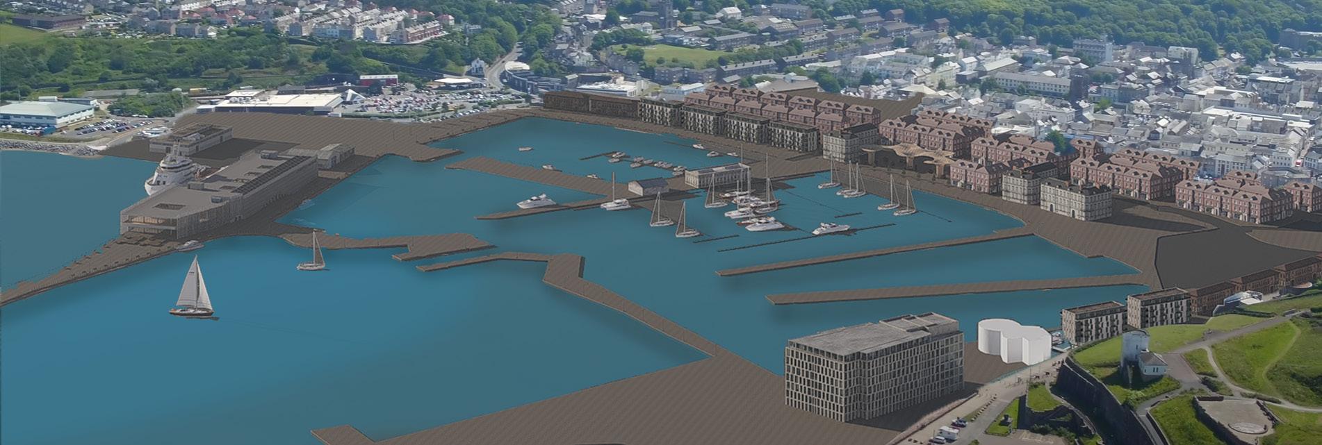
Whitehaven Harbour
Before and After
Revitalization of Whitehaven
A reconfigured harbourfront enables the convergence of commerce, mobility, and heritage into a cohesive spatial framework. Mixed-use typologies support local enterprise through flexible ground-floor programming, fostering year-round economic vitality and incubating independent business growth along pedestrianised routes.
Strategic relocation and integration of transport infrastructure streamline movement across land and sea, introducing efficient modal connections that support both daily logistics and seasonal ferry operations. By decentralising traffic and enhancing legibility, the network becomes intuitive and accessible to residents and visitors alike.
New public realms and waterfront thresholds amplify Whitehaven’s cultural identity, inviting tourism through experiential spaces rooted in place-specific character. Seasonal adaptability, ecological sensitivity, and civic presence become drivers of architectural expression, positioning the harbour as both a destination and a resilient engine for regional transformation.
Digital Work Curation
Exploring how the Proposal Sits in the Multi-Phased Masterplan through a Video Walkthrough?
Prospect of a video walkthrough across the masterplan
Given the layered spatial strategies embedded within this multi-phased regeneration scheme, a video walkthrough is proposed to convey the masterplan's narrative continuity and user-centred experience. The sequence begins on the terminal’s first-floor sea-facing balcony, a symbolic threshold between arrival and departure, before descending into the public interiors of the ferry terminal, highlighting circulation flows, material articulation, and curated views toward the harbour.
From there, the journey transitions outdoors, tracing the active waterfront promenade. Moving sequentially through each phase, the walkthrough reveals the spatial rhythm of retail arcades, adaptive reuse interventions, and cultural interfaces. It culminates under the parametric timber pavilion, a civic gesture anchoring the connection between waterfront and high street. This final scene reinforces the project’s core ambition: to merge infrastructure, tourism, and commerce into a cohesive civic framework.
By embodying the user’s movement through space, the video format offers an accessible medium to communicate how architecture choreographs interactions, supports public life, and catalyses place identity.