


LEGAL DESCRIPTION:
LOCATION:
PROPERTY INFORMATION
The South Half of the Northeast Quarter (S1/2NE1/4) and the East Half of the Southeast Quarter (E1/2SE1/4) of Section Twenty-Nine (29), Township Ten (10) South, Range Twelve (12) East of the 6th P.M., Wabaunsee County, Kansas, less road right of way.
From St. Marys, Kansas: 2 miles south on Maple Hill Road, then 1.5 miles east on Sandy Hook Road, then 3 miles south on NW Maple Hill Road, then west on Turkey Creek Road for 5.5 miles until you reach the southeastern corner of the property.
ACRES & TAXES: Tax-assessed Acres | 153.9 ± acres
2024 Real Estate Taxes | $3,086.44
LEASES:
SOILS:
EQUIPMENT:
FSA INFORMATION:
COMMENTS:
Current lease expiring December 31, 2024.
Primary soils on the property consist of Muscotah silty clay, with slopes ranging from 3-7%.
Well, pump and gearhead are owned by the Sellers. Pivots and power unit are tenant owned.
Total Farmland: 150.59 acres
Government Base Acres: Corn - 73.45
Total Cropland: 149.77 acres
PLC Yields: Corn - 93 bu Soybeans - 73.45 Soybeans - 30 bu
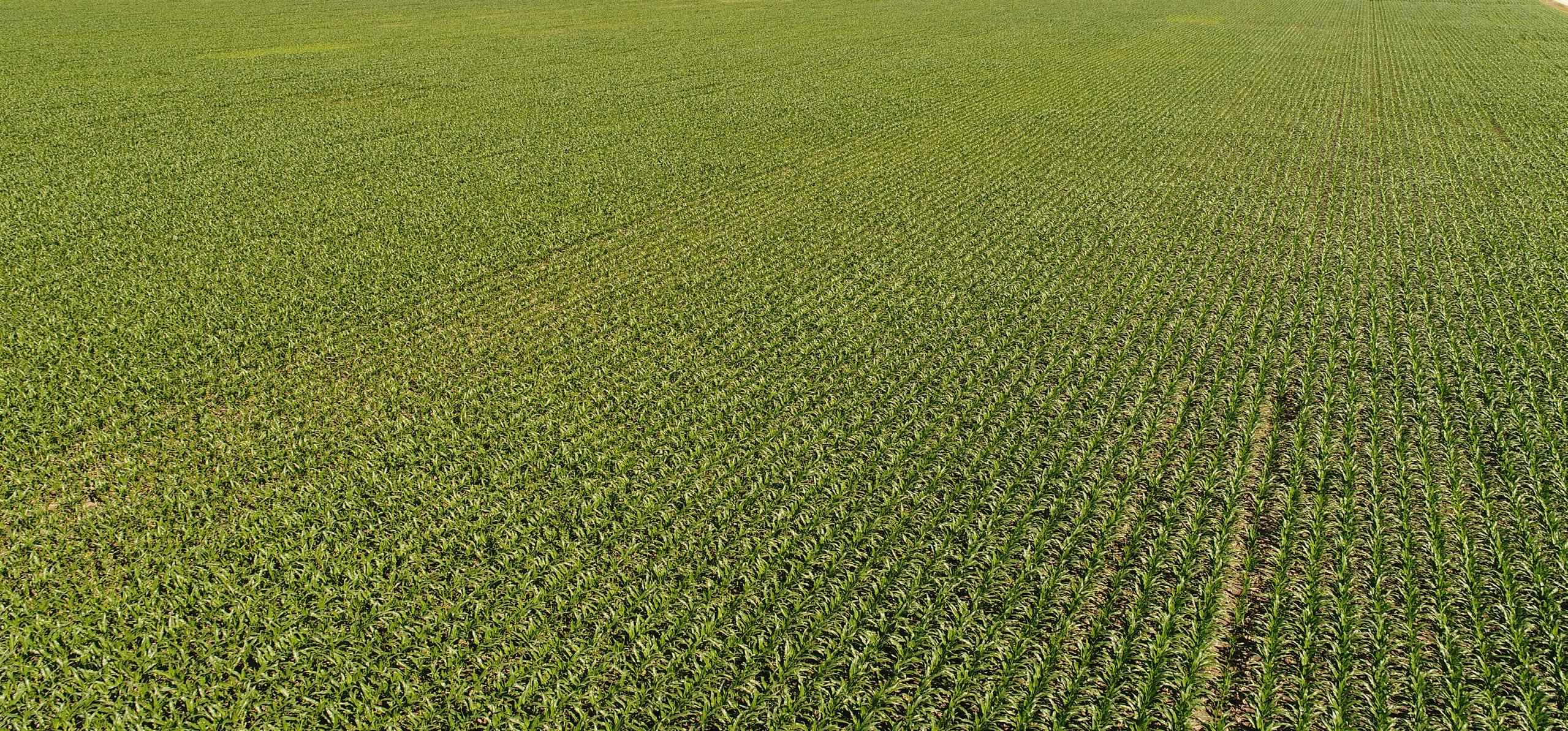
Great center-pivot cropland, accented by some great hunting access make this a desirable addition for an active farmer, investor, or outdoorsman.
PRICE: $1,675,000.00 $1,300,000.00


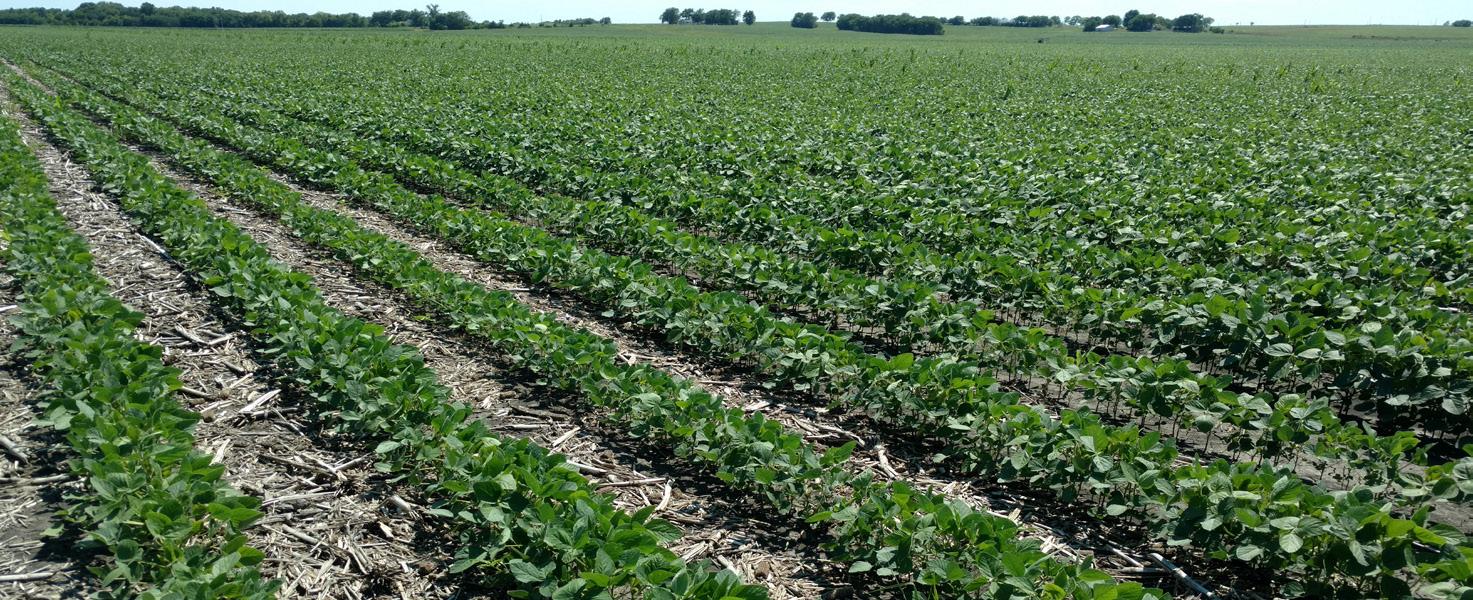


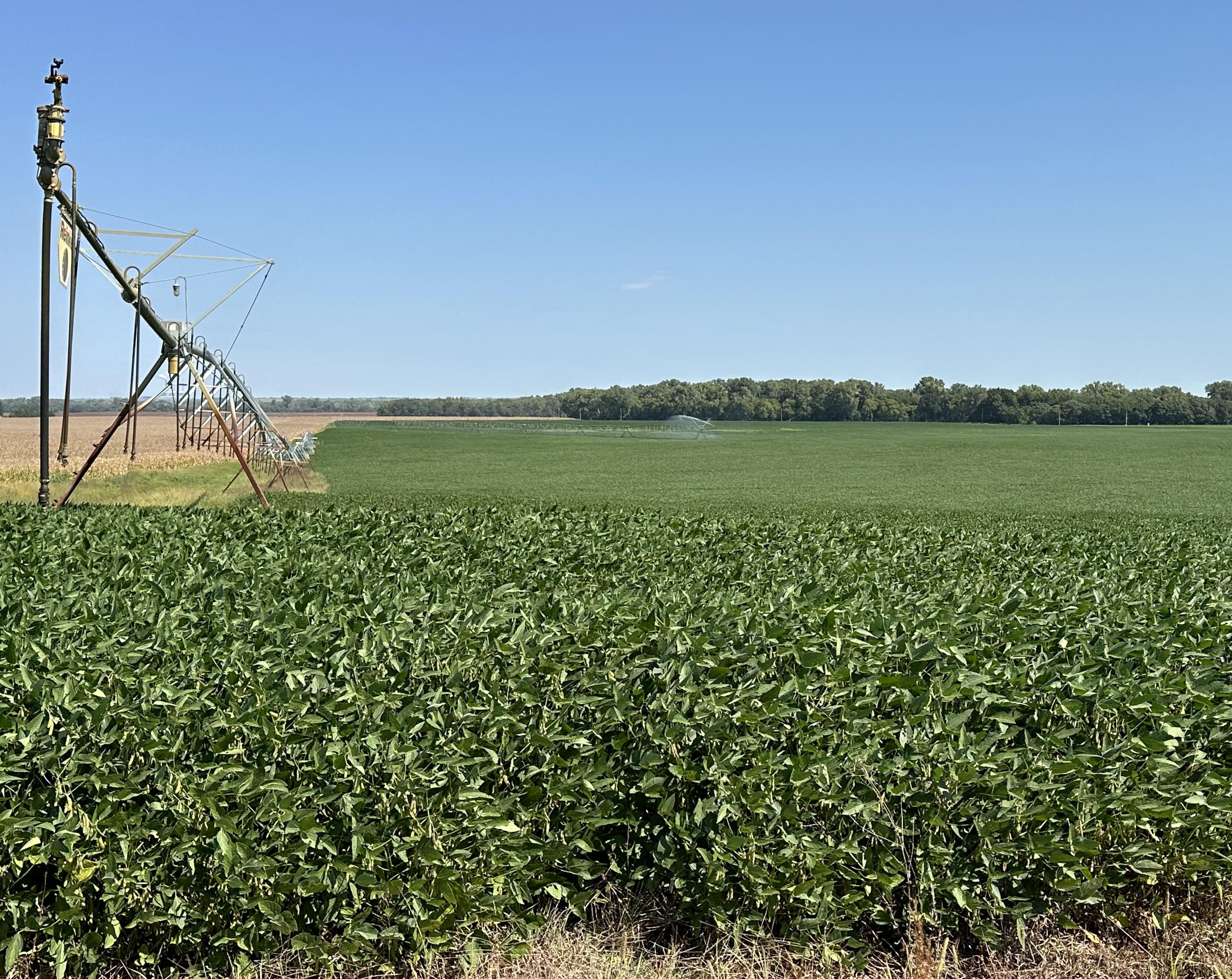
Productive bottomland cropland, watered by center-pivot irrigation systems would make this a great part of an investor or farmer's portfolio. Don't miss your chance at this, along with its corner of established timber flush with wildlife!