Expert Surveying Services in the Northern Territory
Every successful land or property transaction begins with clarity. Without accurate survey information, disputes arise, projects stall, and compliance becomes a problem. For landowners, developers, and government authorities across the Northern Territory, surveying is not just a technical step it is a legal requirement and a safeguard for the future.
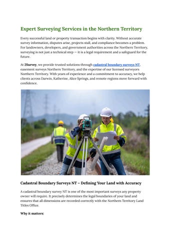
At 2Survey, we provide trusted solutions through cadastral boundary surveys NT, easement surveys Northern Territory, and the expertise of our licensed surveyors Northern Territory. With years of experience and a commitment to accuracy, we help clients across Darwin, Katherine, Alice Springs, and remote regions move forward with confidence.

Cadastral Boundary Surveys NT – Defining Your Land with Accuracy
A cadastral boundary survey NT is one of the most important surveys any property owner will require It precisely determines the legal boundaries of your land and ensures that all dimensions are recorded correctly with the Northern Territory Land Titles Office.
Why it matters:
● Confirms property ownership and avoids boundary disputes
● Required for property sales, subdivisions, and development approvals
● Ensures construction projects do not encroach on neighbouring land
● Provides certainty when fencing or developing rural landholdings
At 2Survey, we use advanced GPS and total station technology to capture data with pinpoint accuracy. Our surveyors are licensed to legally mark and certify boundaries, giving you a clear, binding record of your land
Easement Surveys Northern Territory – Understanding Your Land Rights
An easement survey Northern Territory identifies the presence of rights of access or use that apply to a parcel of land. Easements are often misunderstood but can significantly affect the way a property can be developed or used
Common easements include:
● Utility corridors (water, sewerage, electricity, gas)
● Shared driveways or private access roads
● Drainage and stormwater management rights
● Easements for telecommunications infrastructure
Failing to identify easements can cause costly issues in the future Our surveys clearly document these rights so property owners and developers understand their responsibilities. Whether you are buying land, developing a subdivision, or planning new infrastructure, 2Survey ensures you have the information you need to comply with local regulations
Licensed Surveyors Northern Territory – Why Credentials Matter
Not all surveyors are equal. Only licensed surveyors Northern Territory are authorised to legally define land boundaries, place survey markers, and lodge plans with the Land Titles Office.
What makes licensed surveyors essential:
● They undergo rigorous training, assessment, and registration
● They are accountable to professional boards and legislation
● Their surveys carry legal weight in disputes or property transactions
● They provide assurance that survey data meets industry standards
When you engage 2Survey, you work with fully licensed surveyors who combine expertise with local knowledge This means every project we deliver is accurate, reliable, and compliant with Northern Territory laws.
Why Choose 2Survey?
● Licensed Expertise – Surveys are conducted by qualified and licensed professionals.
● Advanced Technology – GPS, drones, and modern equipment deliver speed and precision.
● Local Knowledge – Our team understands NT regulations and land conditions
● Nationwide Reach – While based in Melbourne, we deliver projects across Australia, with strong experience in the NT.
● Client-Centric Approach – We tailor each survey to your specific needs, ensuring clear results you can trust
Start Your Project with 2Survey
If you need cadastral boundary surveys NT, easement surveys Northern Territory, or a trusted team of licensed surveyors Northern Territory, partner with 2Survey. Our expertise, technology, and professionalism ensure your project starts on solid ground.