
2Survey –Engineering & Construction
Surveying
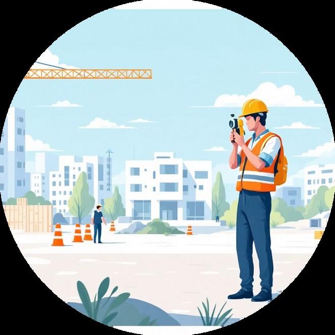
Reliable surveying for road, rail, and development projects across Australia
Reliable surveying for road, rail, and development projects across Australia
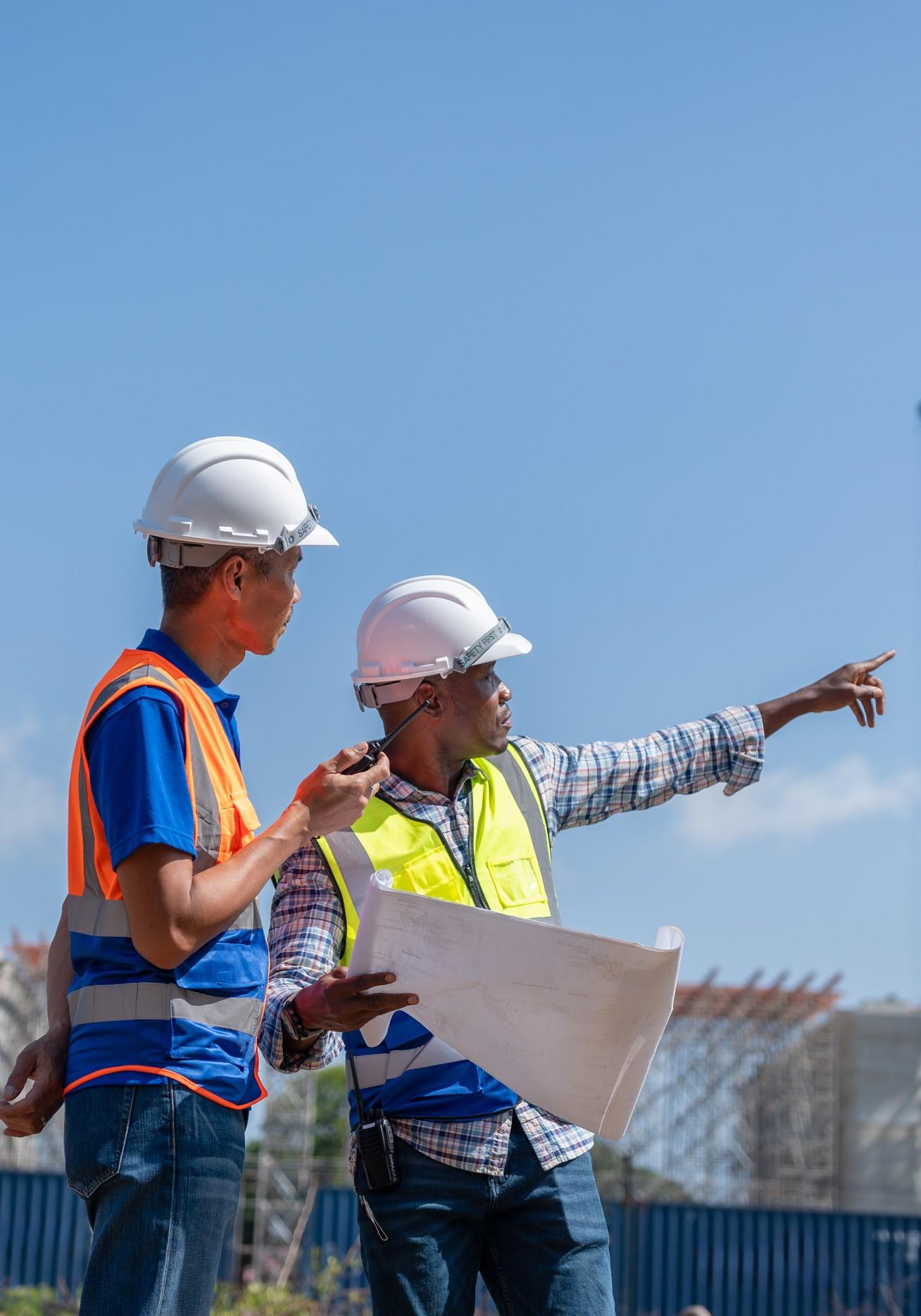
2Survey is your trusted Engineering surveying partner, backed by licensed surveyors with extensive experience across Australia. We deliver accurate, reliable data that helps builders, engineers, and developers move projects forward with confidence.
From remote sites in the Northern Territory to major urban developments, we bring precision and expertise to every job. Our team understands the unique challenges of Australian infrastructure and terrain.

Our comprehensive surveying services cover every phase of your project, from initial planning through to final construction.

Engineering
Surveying
Precise measurements and data for engineering design, site planning, and infrastructure projects.

Road & Rail
Surveying
Specialised surveying for transport infrastructure, alignments, levels, and corridor mapping.

Construction Surveying Services
On-site support throughout construction, including set-out, as-built surveys, and quality control.

Advanced Survey Technologies
Cadastral and boundary surveys, drone mapping, and laser scanning for detailed 3D data capture.
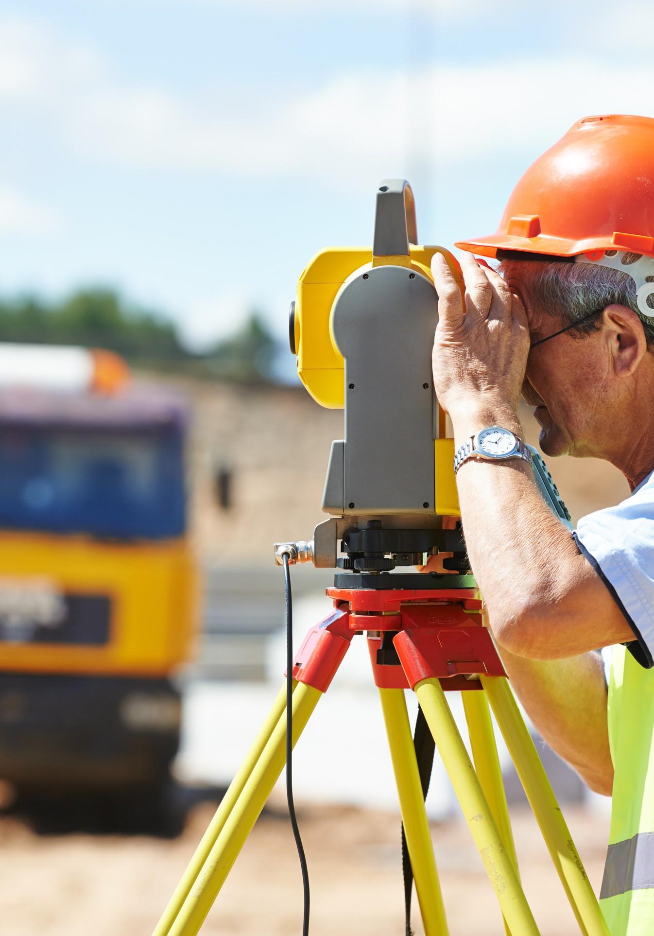
Our licensed surveyors bring years of practical experience across diverse Australian projects and challenging environments.
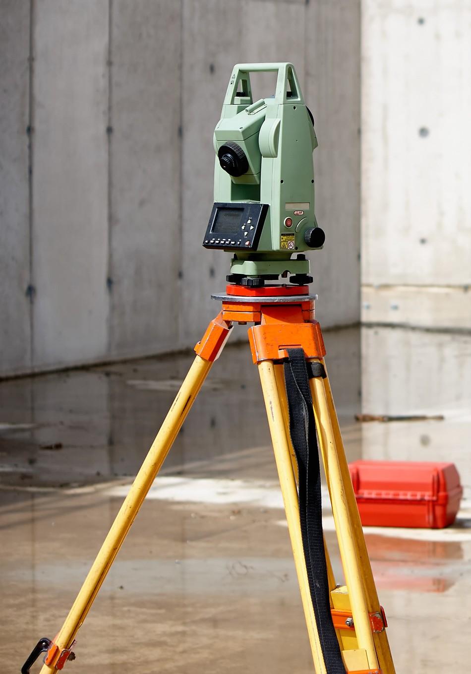
We use the latest GPS, drone, and 3D laser scanning equipment to deliver accurate, comprehensive data.
Quick turnaround times without compromising on accuracy, so your project stays on schedule.
Deep understanding of Australian infrastructure needs, regulations, and site conditions across all states and territories.
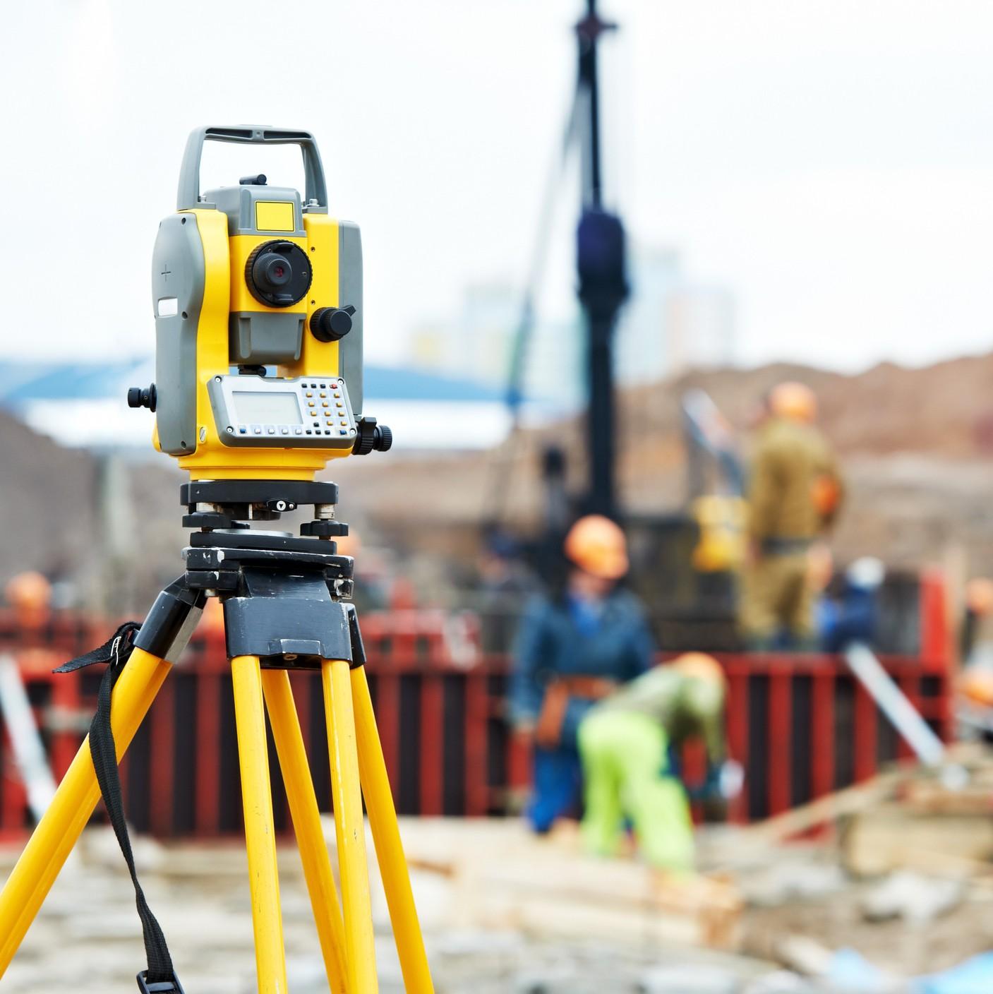


High-precision positioning for accurate site control and construction layout work.
Mapping
Aerial surveys for rapid site capture, stockpile volumes, and progress monitoring.
Scanning
Detailed point cloud data for asbuilt documentation and complex structure analysis.
We work closely with your team from start to finish, ensuring clear communication and accurate results at every stage.

n Understanding your project requirements and site conditions

Fieldwor
k Conducting surveys with precision equipment and experienced teams

Plannin g Developing survey methodology and scope of works

Deliver y Processing data and providing clear, usable documentation
Major Cities Experienced in complex urban environments across Sydney, Melbourne, Brisbane, and beyond.
Regional Projects Supporting infrastructure development in regional centres and rural areas throughout Australia.
Remote Sites Specialist capability for challenging remote locations including Northern Territory and outback projects.
+Years of Experience
Delivering reliable surveying services across Australia
100 % Licensed Surveyors
Fully qualified team meeting all Australian standards
24/
7 Project SupportAvailable when you need us to keep projects on track
Ready to get started? Reach out for accurate surveying that keeps your project moving.
Whether you're planning a major infrastructure build, a land development, or need support on a complex engineering project, we're here to help.

Website: 2survey.com.au
Phone: 0475 044 760
Email: contact@2survey.com.au