yijie@u.nus.edu
+65 8435 5176
+86 15621550060
WeChat: j172309

yijie@u.nus.edu
+65 8435 5176
+86 15621550060
WeChat: j172309
Selected Works 2022-2024
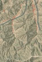
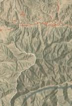
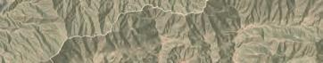
Master and Bachelor of Landscape Architecture, NUS
Date: Jan 2022 - Apr 2022
Source: National University of Singapore Core Studio
Instructor: Henry Steed (NUS Adjunct Associate Professor), Abby Ng (NUS Tutor)
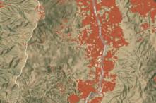
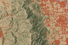
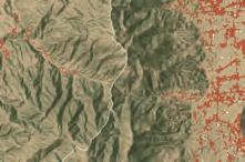
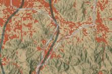
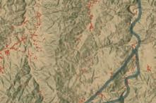
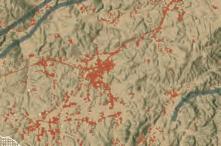
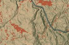
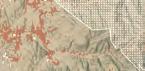
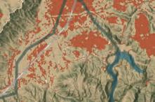
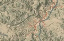
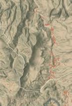
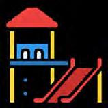
Classfication: Small-Scale Park Design
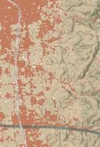
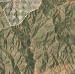
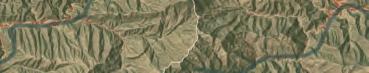
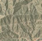
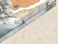
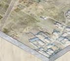
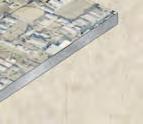
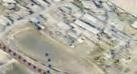
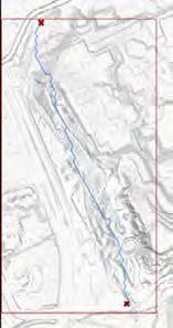
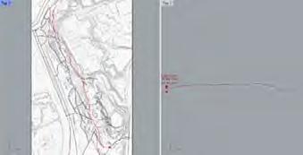
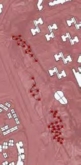
Location: Yishun, Singapore
Area: 7.7 ha
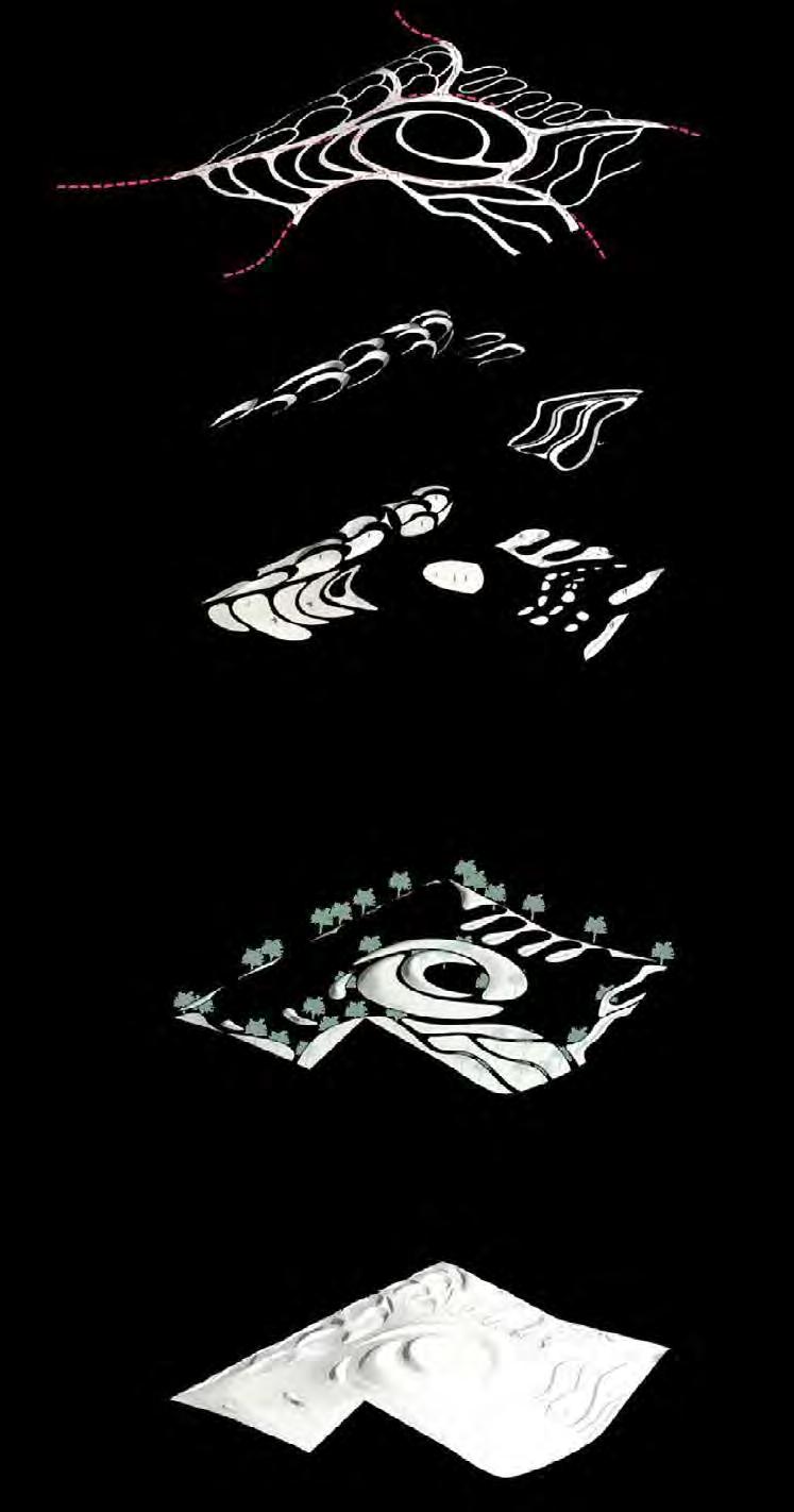
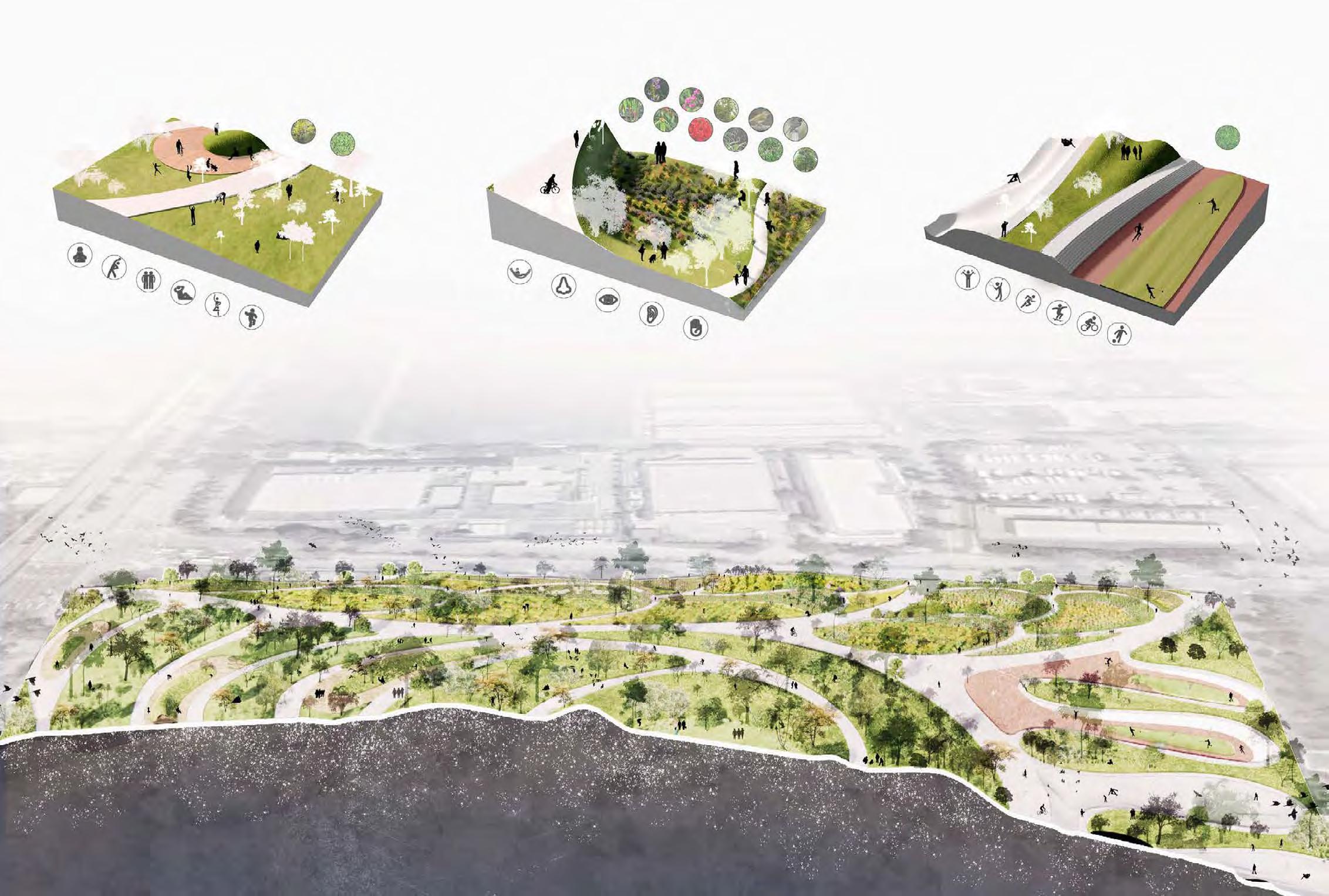
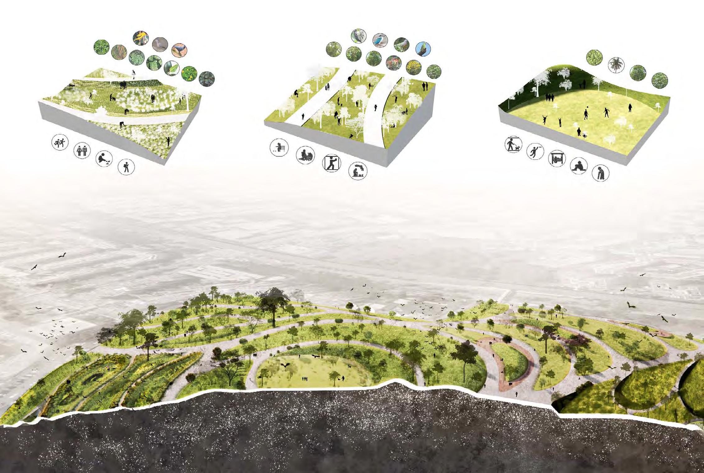
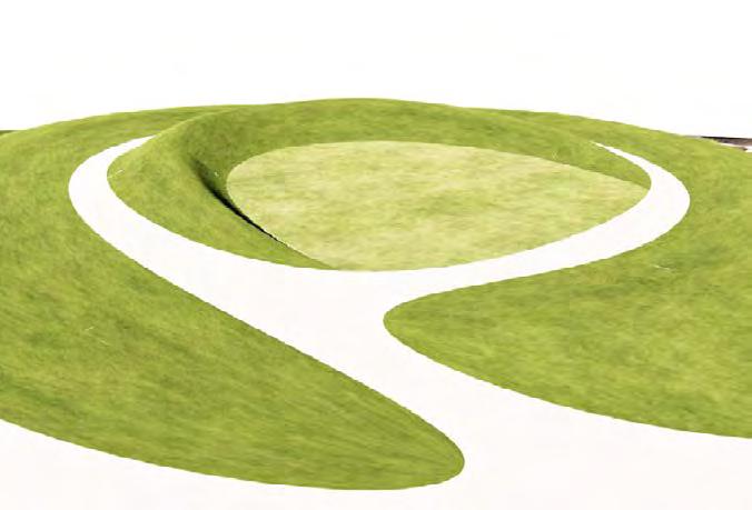
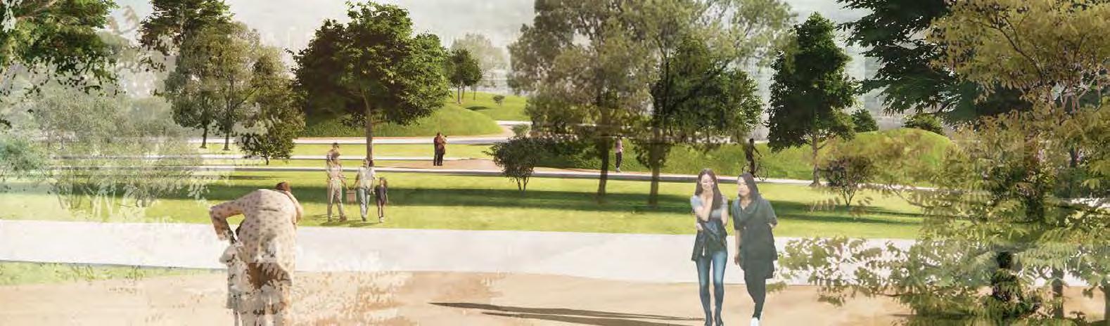
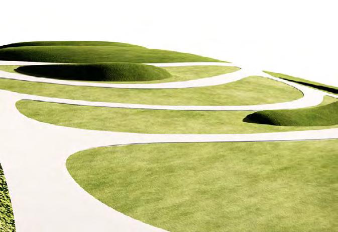
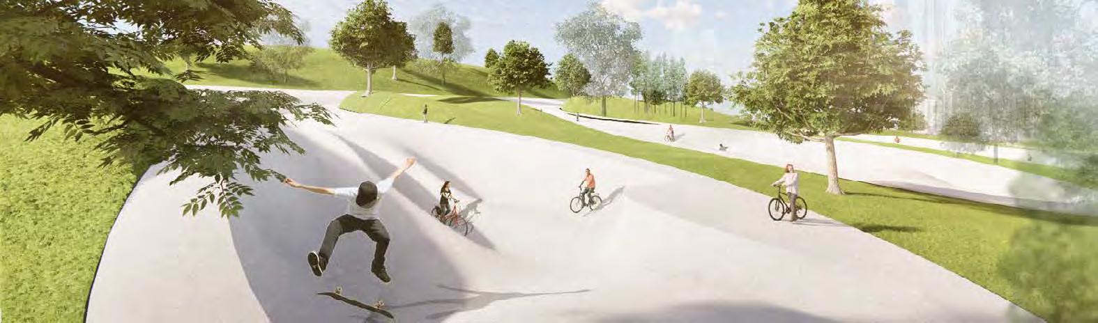
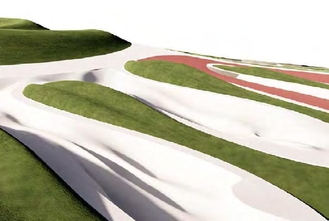
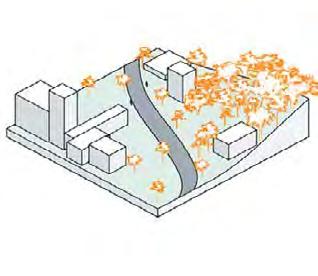
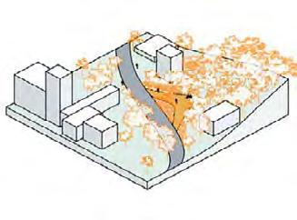
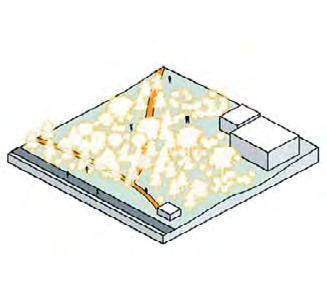
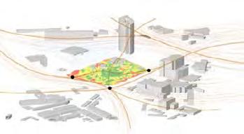
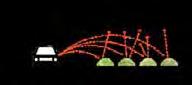
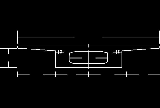
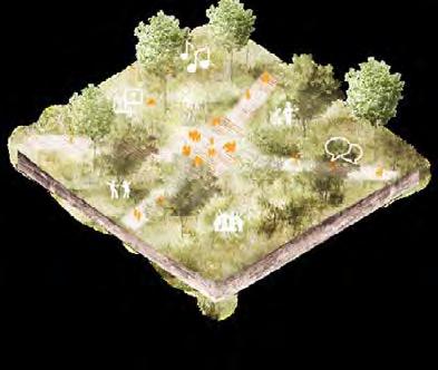
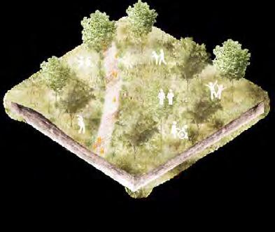
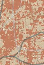
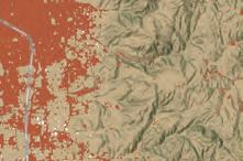
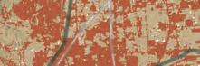
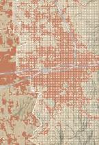
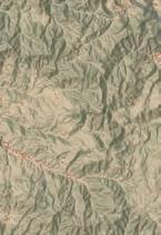
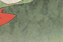
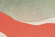
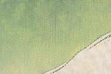
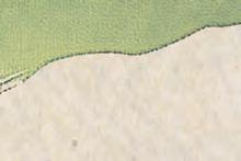
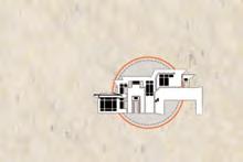
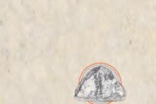
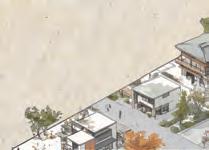
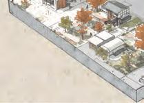
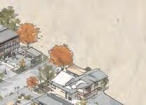
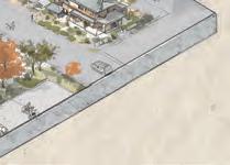
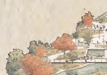
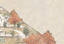
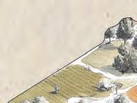
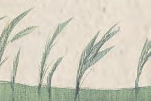
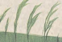
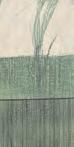
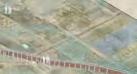
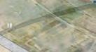
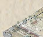
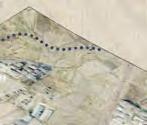
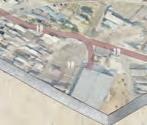
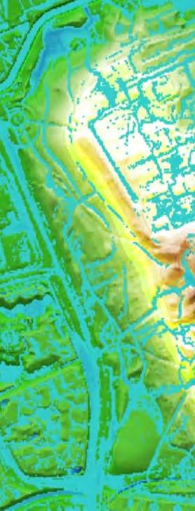
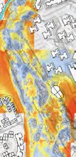
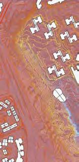
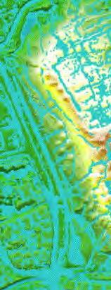
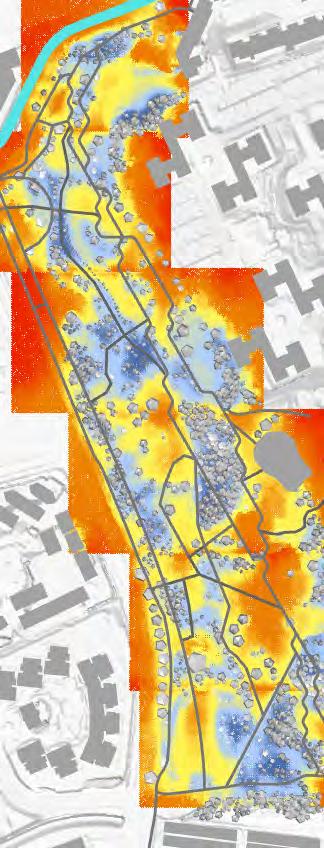
Amidst the urban crescendo of Yishun-Canberra, our proposal envisions Yishun Neighbourhood Park as an elevated oasis, transcending its topographical prominence to become a communal heart. In this tapestry of growth and tradition, the park emerges as a crucial nexus, bridging the fragmented urban narrative with its verdant, elevated grounds. Our design interlaces the area’s rustic kampung essence with contemporary urbanity, crafting a sustainable, interconnected green haven. Here, nature and community coa-lesce, sculpting Yishun Neighbourhood Park into a symbol of harmonious urban integra-tion and a beacon of collective identity.
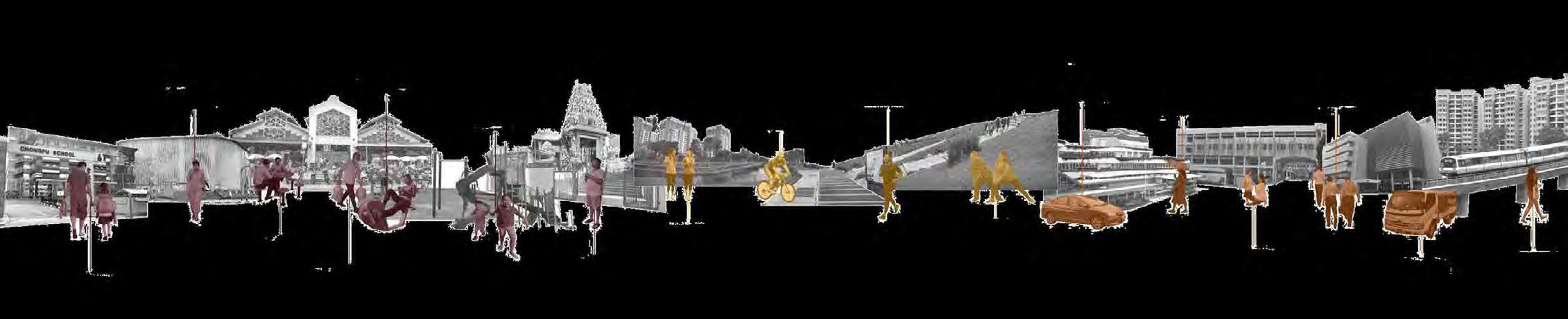


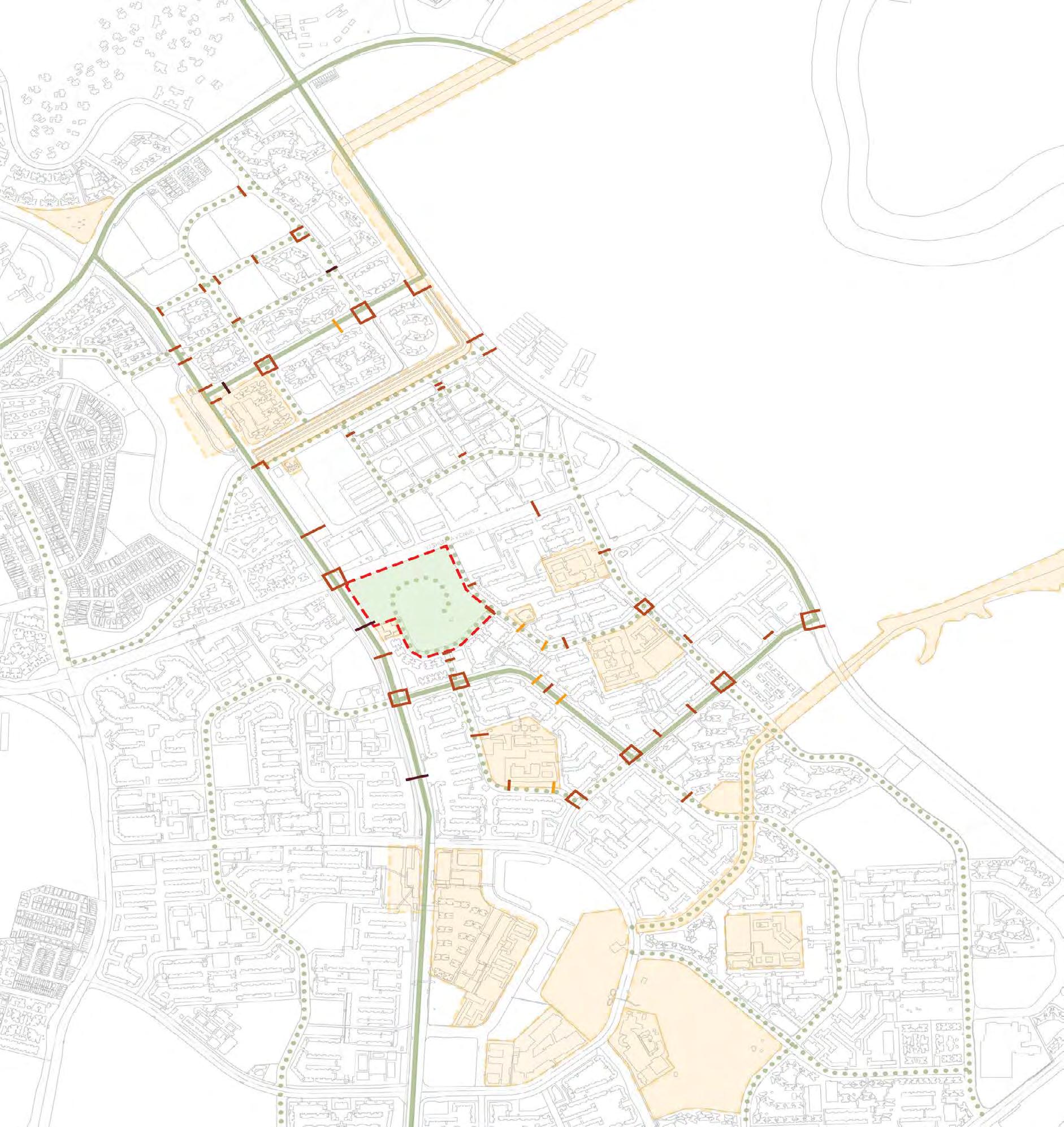


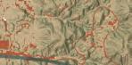
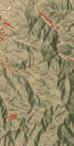
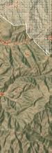
A multi-purpose nexus with functions and spaces well catered to the user groups in the region. Play, rest, gather, exercise, learn... activities are integrated into this green fabric which reunites its surrounding fragmented lands.
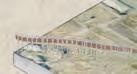
Diagram
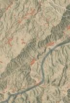
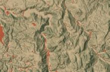
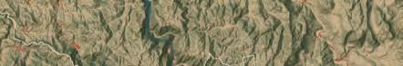
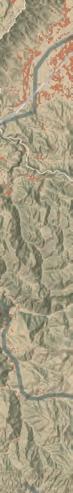
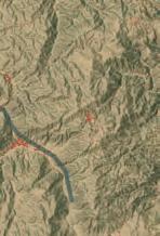
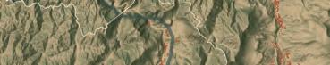
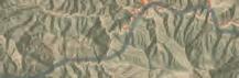
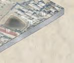
Date: Aug 2023 - Nov 2023
Source: National University of Singapore Core Studio
Instructor: Janice Tung (NUS Tutor), Dorothy Tang (NUS Assistant Professor)
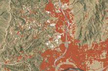
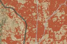
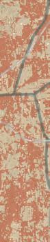
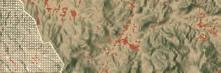
Classfication: Middle-Scale Urban Design & Landscape Architecture
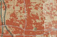
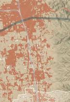
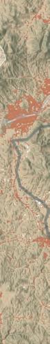
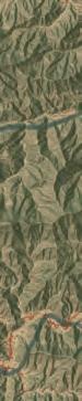
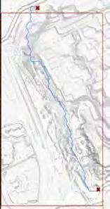
Location: Chinatown, Singapore
Area: 50 ha
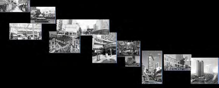
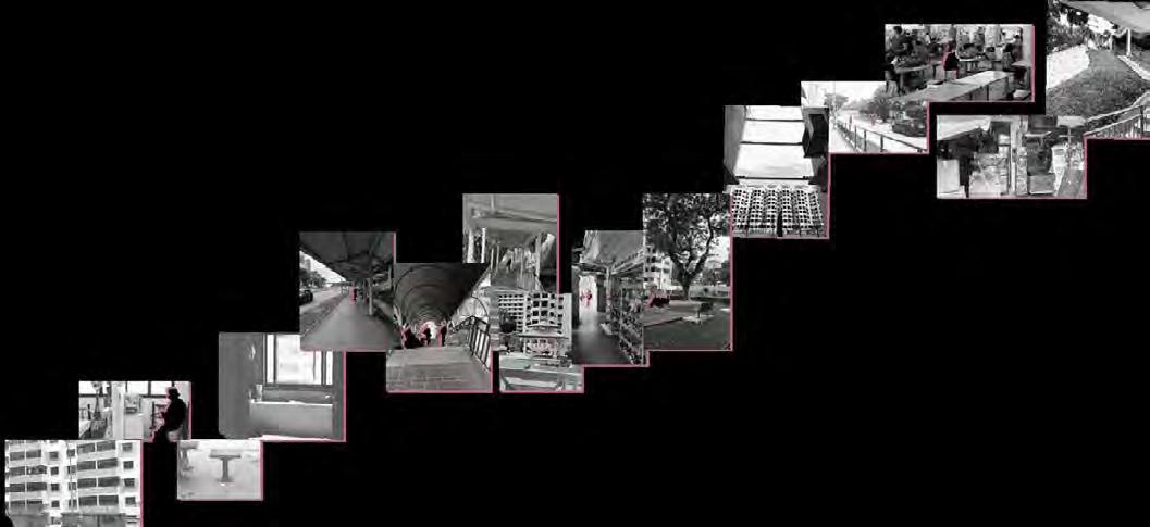
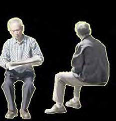
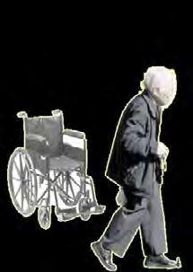
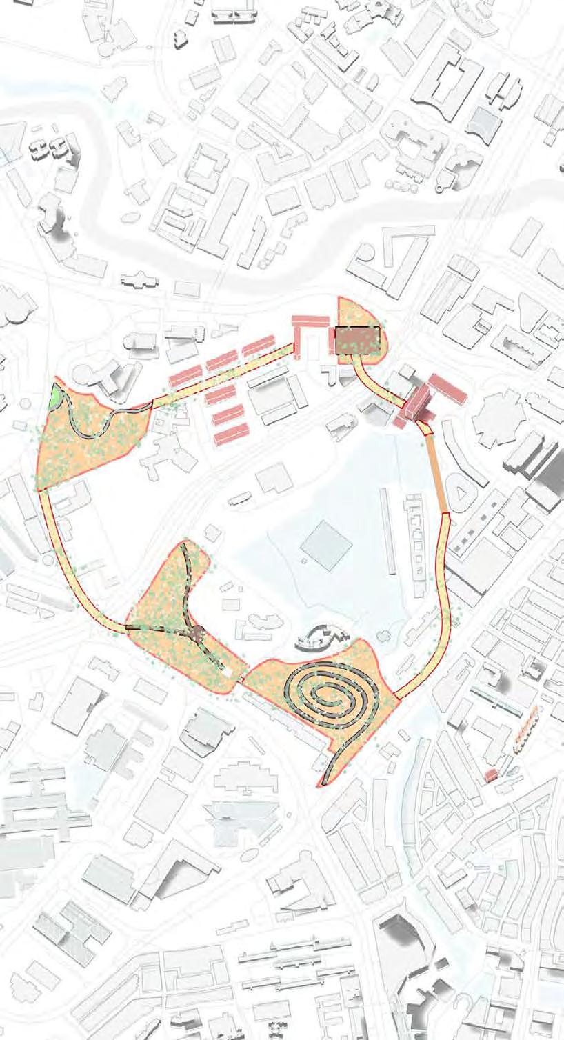
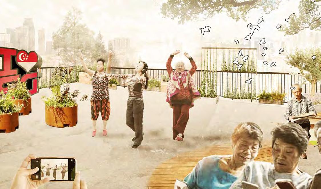
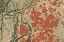
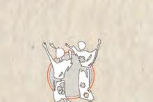
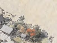
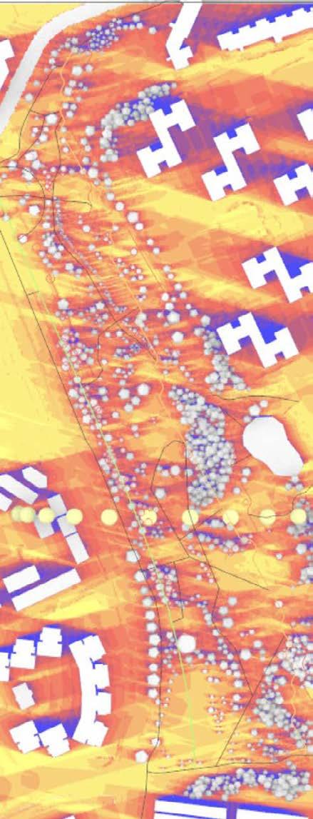
In the heart of bustling Chinatown, lies Jalan Kukoh, a poignant reflection of Singapore’s socio-economic contrasts. Predominantly a precinct of rental HDB blocks, Jalan Kukoh is home to a substantial population of low-income elderly residents grappling with financial struggles, social isolation, and physical limitations. This landscape architecture proposal seeks to transform the everyday environment of these seniors into a nurturing, serene haven that fosters mental well-being and social cohesion.
Our design ethos revolves around creating natural settings that are more than just visually pleasing; they are sanctuaries that engage, comfort, and heal. The proposal aims to create a supportive environment where the elderly can find respite, engage in gentle physical activities, and foster meaningful social interactions.
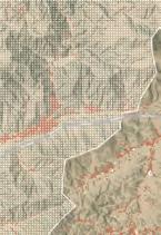
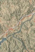
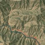
Outram, the poorest and oldest district in Singapore, has a high concentration of rental blocks, which are for Singaporeans who have no other housing options, including a large number of low-income elderly. These elderly suffer from financial difficulties, social isolation and physical challenges. Singapore Outram Jalan Kukoh Precinct

Shopping Malls
Premium Restaurants
4/5-star Hotels
Hustling Visitors
Condominiums Clarke Quay Bars Outings


Sit and chat with neighbours!


Want a quiet backyard to rest and chill


A mid-stop along the road to rest and stay safe.
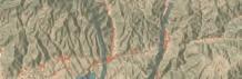
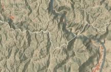
Underutilised hilly green space
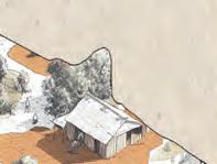
Kampung-styled void deck


Dense forest on steep hill with no path A flat path wanders downwards gently
Narrow boring pedestrian path
Barren hilly grassland with people j-walking to MRT

Void Deck
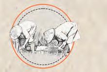
As a uniquely Singpaorean term, void deck has been a gathering place and a substitute for former communal kampong compounds for many residents, etching memories among the senior citizens and fostering social bonds.
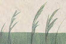
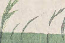
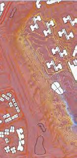
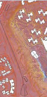
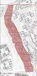
Sensory Path
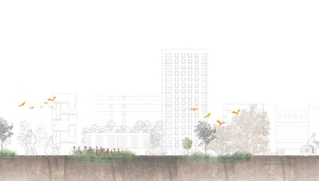
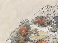
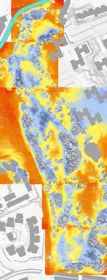
A lush forest, sitting behind Jalan Kukoh, bounded by Outram Sec, premium hotels, and Outram Road, previously a barrier but now a vegetated connectivity with sensory experiences.
Mini-refuge-land built upon the reserve site
Mounds inter-shaping natural processes with boardwalk

Refuge Land
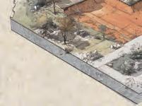
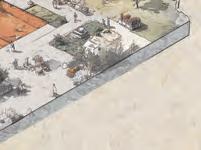
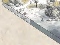
Along hustling Outram Road, there is hardly pedestrian paths.This small patch of lawn by roadside, servces a refuge island for restful moments.
Meanwhile
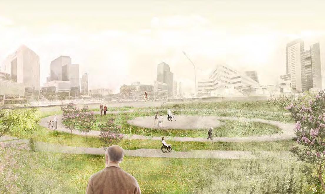
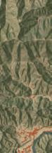
A lawn nestled under Pearl’s Hill Park, next to Outram MRT Station and opposite to DukeNUS Medical School, is planned to be residential areas built with condominiums. Instead of leaving it empty, an interim design of mental health for elderly and all is developed.


Widely open to bustling commercial areas and Singapore General Hospital and well-connected to Outram MRT Station, the flat big lawn serves a wheelchair-friendly ground for all to mingle.


Underutilise Soil Erosion


White-throated kingfisher
Collared kingfisher Asian koel
Javan myna


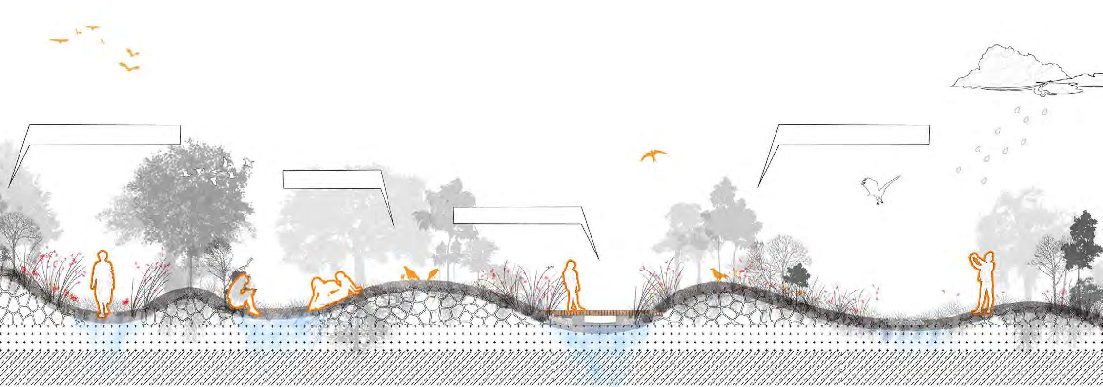

Freed up previous fences built around the ground storey and enteded over the empty lawn outside the HDB block. The space is generously created as an open-air double-storey void-decks. This space is to complement the conjested architecture of Jalan Kukoh, providing a public open space for residents to enjoy.
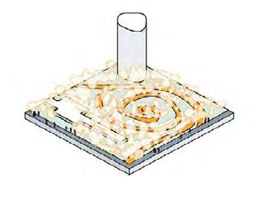
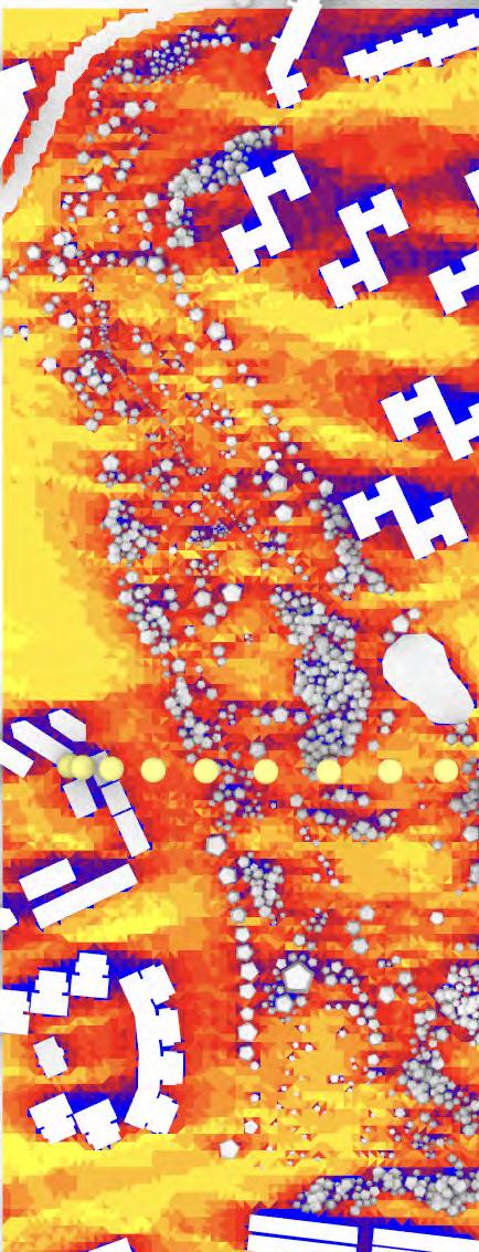
Given a considerable proportion of elderly suffer from dementia and loss of senses, this circular path design is meant to be a rehabilitative supportive space for agents and also a small walking experience for all. The path is built to be 4m wide to accommodate wheelchairs, as patients in Singapore General Hospital might use this space for exeercises or leisure.
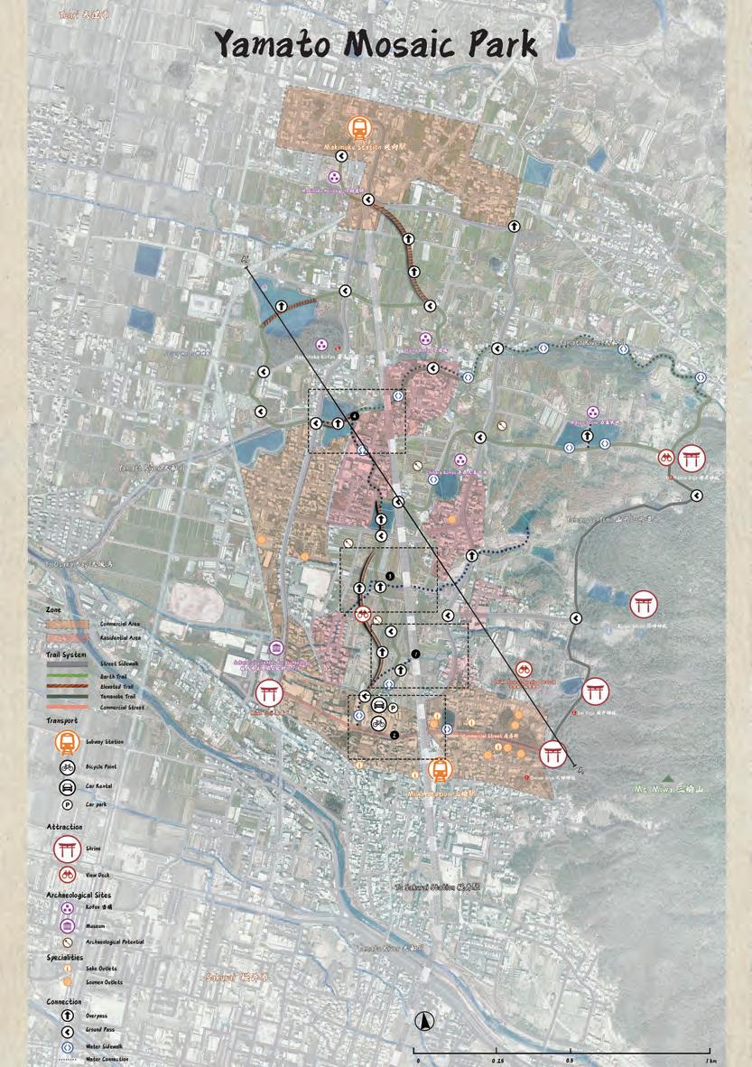
Date: Aug 2024 - Nov 2024
Source: National University of Singapore Core Studio
Instructor: Casey Wang
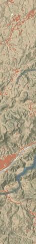
Classfication: Town-Scale Urban Design
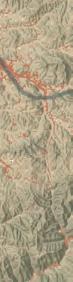
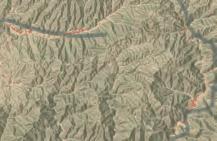
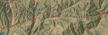
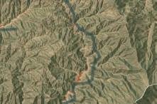
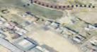
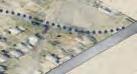
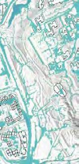
Location: Sakurai, Nara, Japan
Area: 200 ha
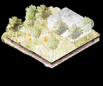
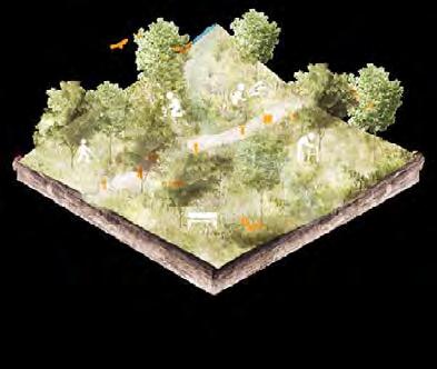
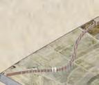
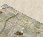
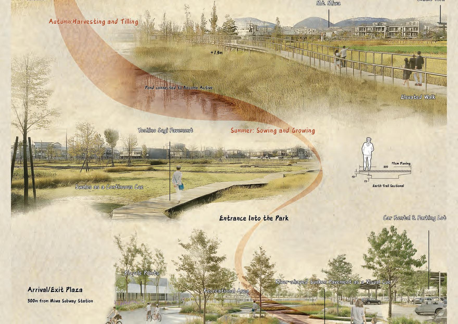
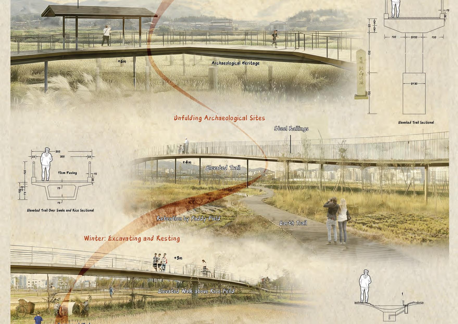
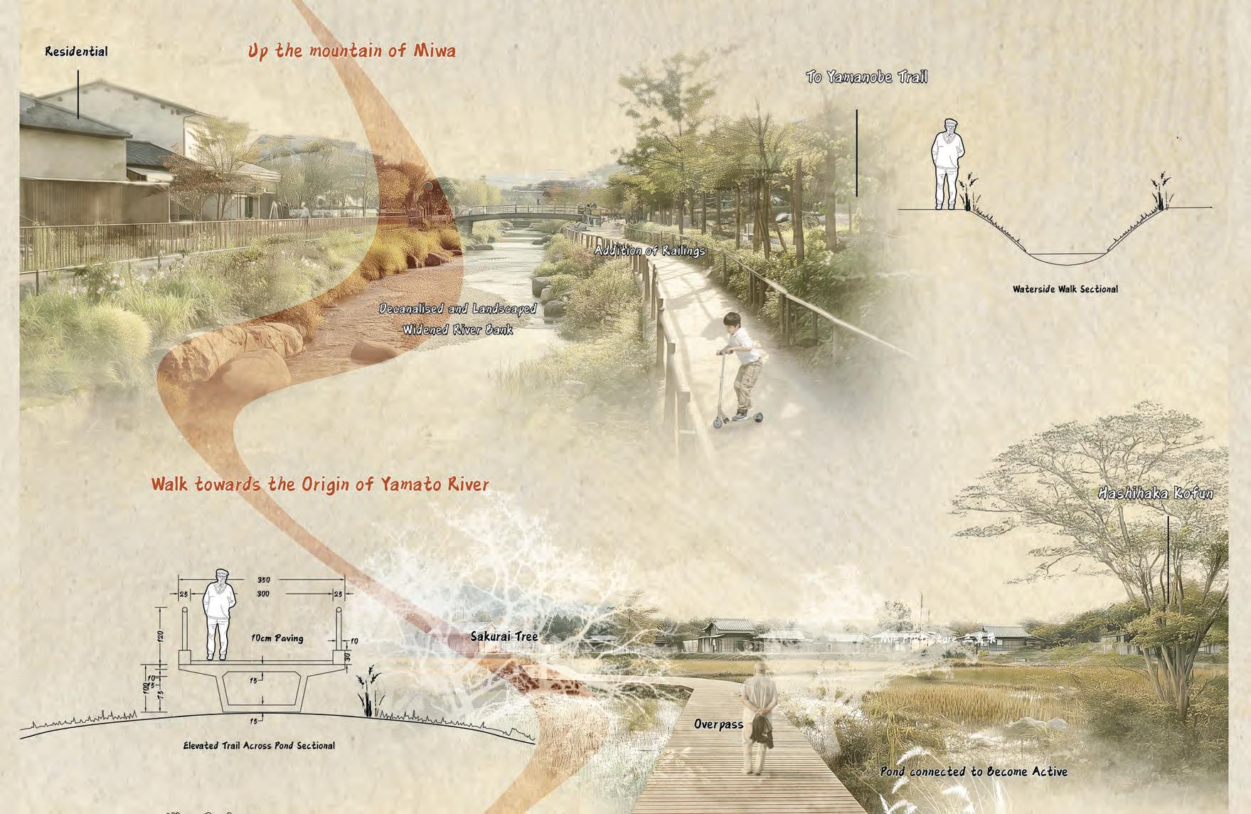
The “50 Centimeter Under” project aims to revitalize Sakurai, a city rich in history but struggling with modern challenges. Through archaeological discoveries and systematic studies, the initiative seeks to reconnect the community with its Yamato roots, highlighting its historical significance during the Kofun period. The strategy includes time-tilled rotations for agriculture and excavations, connected commerce corridors to enhance mobility, and an archaeo-agrarian landscape integrating historical sites with modern living. Additionally, the rewilding of the Yamato River emphasizes ecological restoration. This comprehensive approach aims to foster sustainable community development, boost tourism, and preserve the cultural legacy of Sakurai.


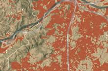


Its expansive flatlands and favorable climate made it an ideal location for early Japanese settlers to engage in agriculture, thereby fostering the development of early Japanese civilization and the establishment of powerful ancient capitals.


The introduction of rice agriculture enabled these early inhabitants to establish stable communities
Yoshino cedar, native to Japan’s Kii Peninsula, is valued for its straight grain and durability, extensively used in traditional architecture and woodworking in the region.


Tsuyubakaze


Vital for agriculture, historically supporting rice cultivation and contributing to the region’s economic development.


Originated from Mount Miwa, Yamato River nurtures the first settlement of humanity in Japan with her water.


Only rice species that is suitable for sake brewing in Nara Prefecture

Somen originated in Japan over 1,000 years ago, valued for its thin, wheat-based noodles, typically served cold with dipping sauce


Originated around 300 AD as a ceremonial drink brewed by priests Japan’s iconic rice wine
Miwamizu,
Mount

Spiritual centers for Shinto and Buddhist worship, respectively, offering spaces for rituals, prayers, and community gatherings.


water


Buddhism was introduced to ancient Japan from China during the reign of Queen Himiko, marking a significant cultural and religious transformation in Japanese society.


Miwa Mountain is a sacred site in Japanese mythology, revered as the dwelling of the god Ōmononushi and a symbol of divine-natural union in Shinto beliefs.

Primitive Shintoism in Yamato emerged as an indigenous belief system, venerating natural spirits and ancestors, laying the foundational spiritual framework of ancient Japanese culture.


Cleansing, and offering rituals, deepening one’s spiritual connection in Japan. A

The Yamato Dynasty, Japan’s first and longest reigning imperial line, began around the 3rd century


Carbon-14 technology for dating artifacts
Rice farming during growing seasons
Off-season archaeological excavations

Systematic excavation processes
Protective shelters for sites

Exhibition spaces for education


Time-Tilled Rotation Connected Commerce Corridors Archaeo-Agrarian Landscape Rewilded Yamato River

Car and bike rental stations for mobility
Pedestrianize commercial zones
Visual cues for connecting commercial areas


Open spaces for visual continuity


Rice fields utilized as landscapes Naturalize canalized riverbank
River integration for irrigation


Pavement upgraded to pervious materials Soften rectangular boundaries

Reroute river as irrigation for rice fields
Pond landscaping for water recreation Cleanse before entering recreation areas
Elevated walkways over key routes Legacy and archaeological appreciation Floodplain Restoration


Tourist focal area with viewing retention Educational Walkways


Long-Term Relevance Self-Regenerating Legacy Revitalization Urban Repositioning Community Development Resilient Infrastructure


1 Archaeological/Agricultural Landuse Rotation


3 Archaeo-Agrarian Park


2 Connected Corridors to Commercial and Other Zones


Date: Aug 2023 - Nov 2023
Source: National University of Singapore Elective
Instructor: Ervine Lin ((NUS Senior Lecturer)
Collaborator: Jeffrey Lok Yong Quan, Peng Kangqi, Tee Shu Zie, Yap Xi Yi
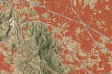
Classfication: Small-Scale Digital Landscape Architecture
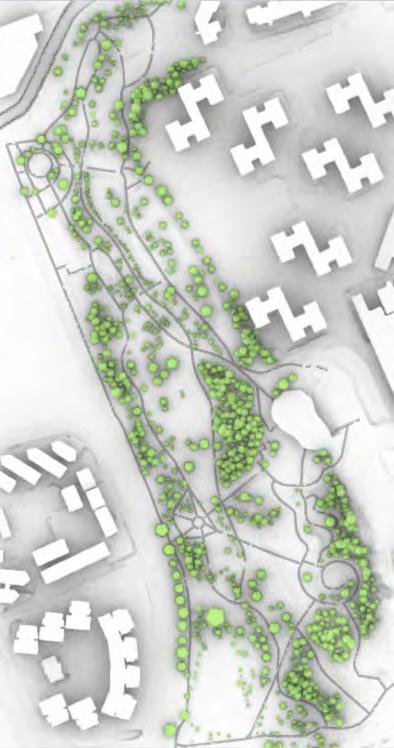
Location: Clementi, Singapore
Area: 12 ha
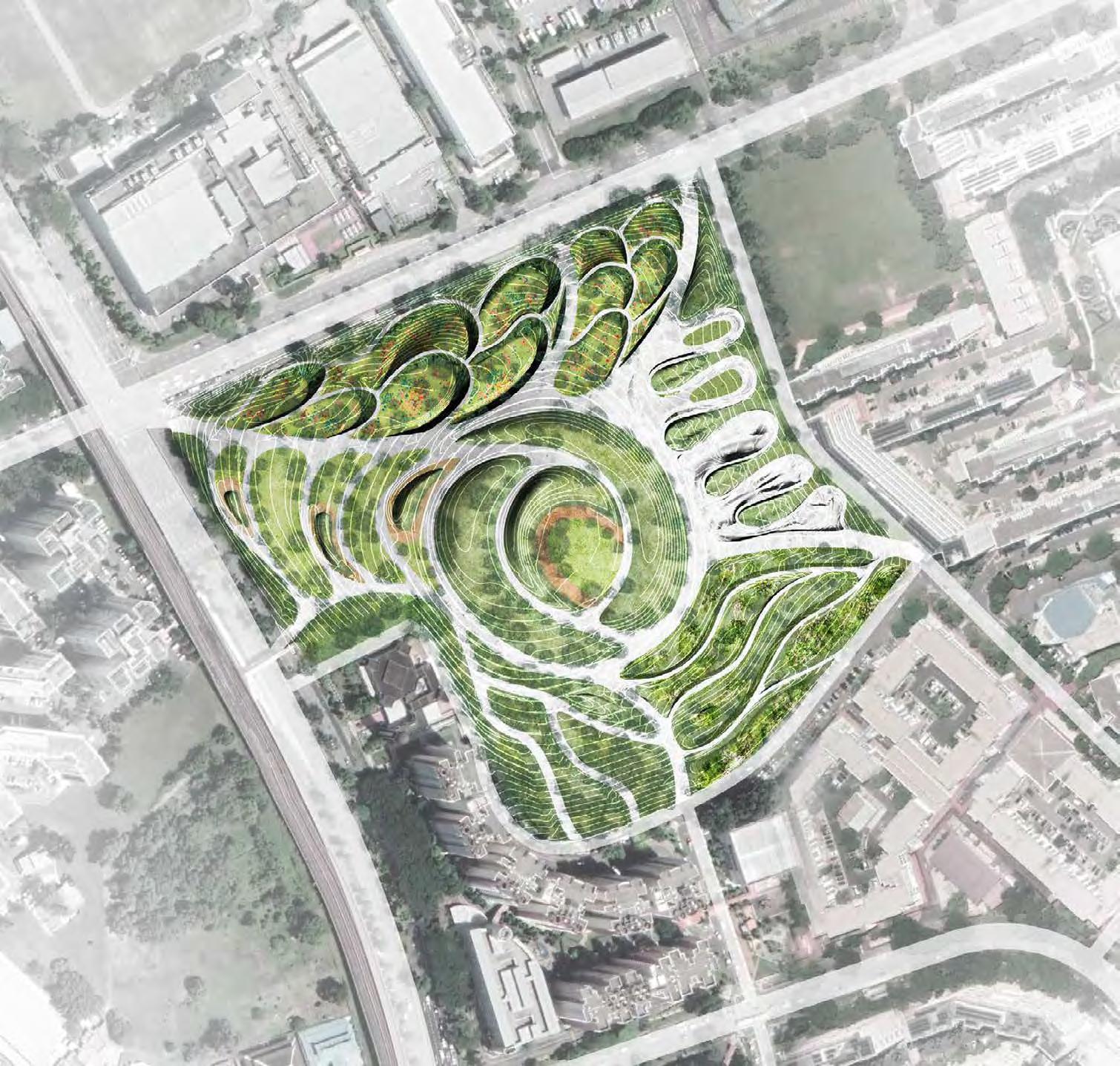
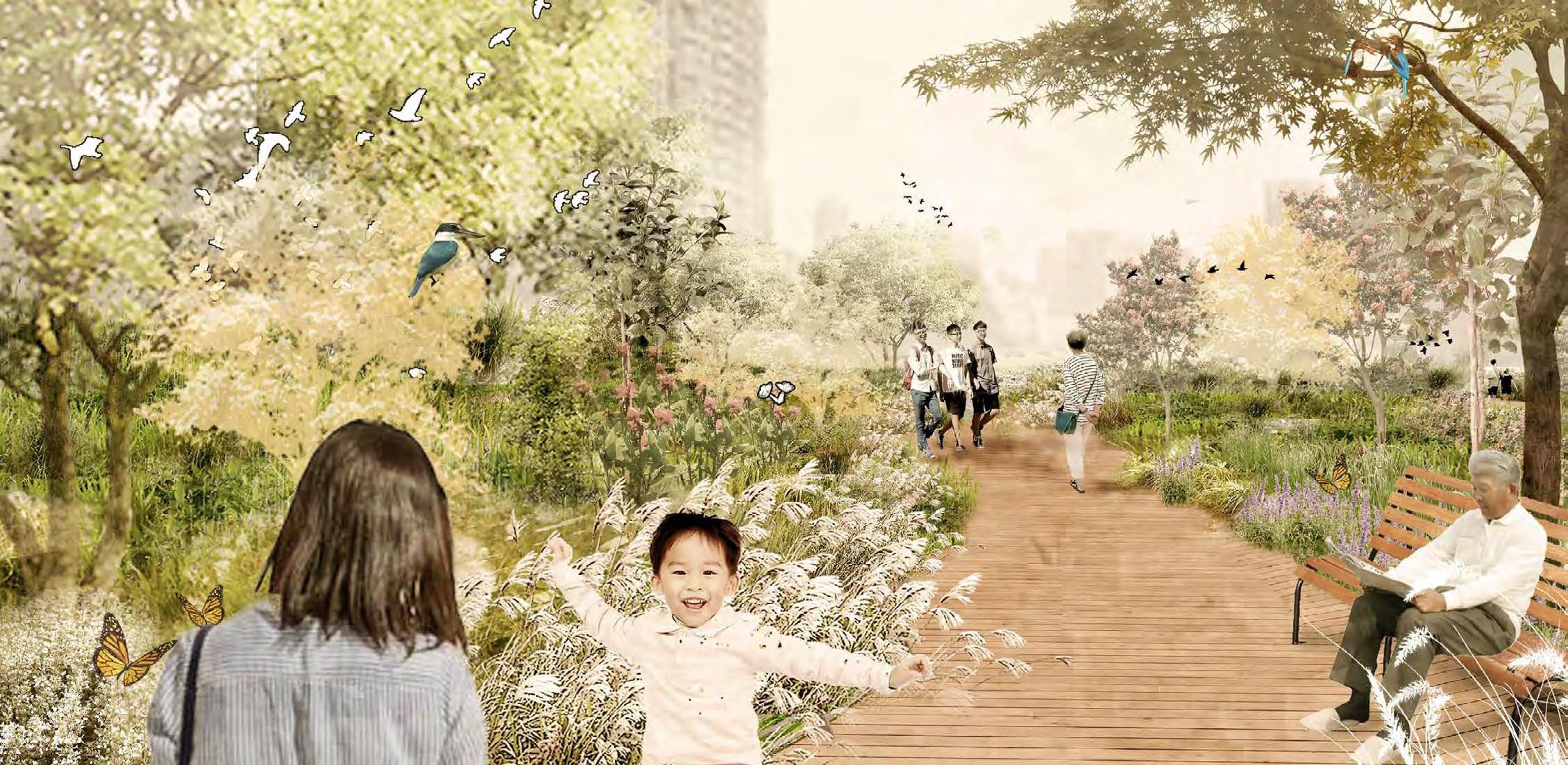
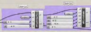
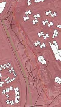
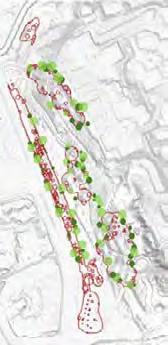
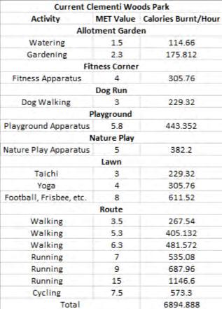
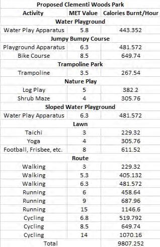
Our proposal for Clementi Wood Park is a visionary reinvention of landscape architecture, where fitness seamlessly integrates with nature, accessible to all ages, and is experienced as a form of play. The design pivots on three core concepts: ‘Fitness in Nature’, ‘Fitness for All’, and ‘Fitness as Play’. Utilizing cutting-edge tools like ENVI-MET for microclimate analysis, Flood Modeller for hydrology, and Grasshopper with Rhino for advanced spatial design, we develop sensible and responsive design recommendations. This holistic approach transforms the park into a dynamic fitness landscape, balancing ecological sensitivity with the diverse needs of the community. Through this innovative amalgamation of technology and nature, Clementi Wood Park is set to become a pioneering model for future urban green spaces, fostering health, inclusivity, and joyous engagement with the natural world.

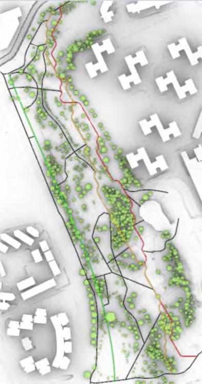
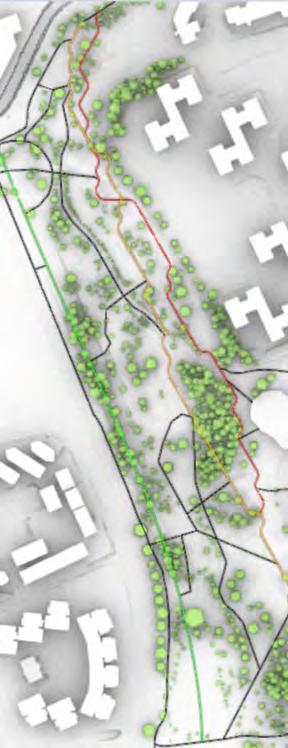
Route 1 - Easy: 0 - 3° Incline
Pathways that is nice and relatively flat that caters to beginners and users looking for warming up exercises or leisure walks.
Route 2 - Intermediate: 3 - 18° Incline
Pathways that introduces a gentle slope, offering an intermediate challenge for users looking for a more
Route 3 Enthusiast: > 18° Incline
Pathways that includes steepest angle of slope that would challenge users who are seeking an adventurous trail.
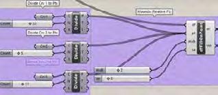
Process 1: Topography Cutting
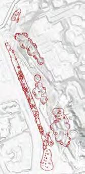
Route 1 - Easy: ~500m
The first trail provides a shorter and more accessible distance, ideal for beginners or those looking for quick and low-intensity workout.
Route 2 - Intermediate: ~800m
The second trail extends the distance, offering a balance between manageable challenge and an enjoyable trail for intermediates.
Route 3 Enthusiast: ~1200m
The third trail offers a longest and most challenging journey, ideal for users to push their endurance and stamina.
Process 2: Fill Optimisation Process 3: Route and Connection Generation
Most optimal Cut and Fill balance with the lowest amount of excess soil, generated from Galapagos
Controlled area for optimised Intermediate Route and Enthusiast Route
Route 2 - Intermediate Min Slope Optimisation (Route Difficulty)
Route 3 - Enthusiast Max Slope Optimisation (Route Difficulty)
4: Route Connections
Generated Min slope of Intermediate route 11°
Generated Average slope of Intermediate route kept around 5°
Generated Max slope of Enthusiast route left uncapped
Generated Average slope of Enthusiast route kept around 7°
5: Relocation of Affected Trees

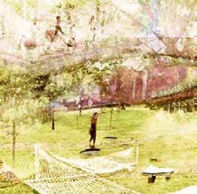
Water
By strengthening flood-prone areas, water elements are introduced to the site as a natural play element

Diverse fitness facilities of various intensity levels are implemented to cater to all groups.

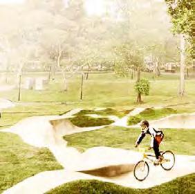
Fitness Facilities Obstacles
Adding obstacles along routes elevate the physical challenge to navigate and thus
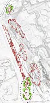
Both Intermediate and Enthusiast routes generated within the same controlled area.
A generated instance of the two colliding were deliberately chosen to improve the connection between the two.
Existing circulation which is already well connected to begin with were also utilised to weave our design together.
3.
4.
5.
6.
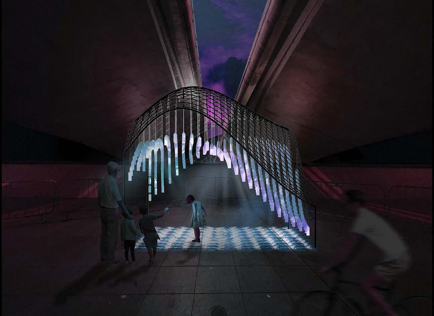
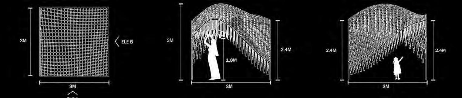
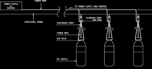
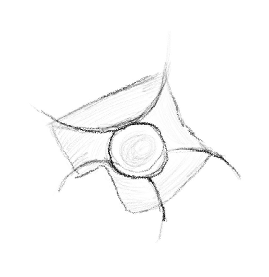
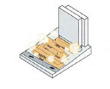
The installation, situated beneath the Esplanade Bridge, takes the form of an overhead grid. Each node on this grid is intricately connected to a plastic bottle collected from the Marina area. These bottles are suspended at varying heights, deliberately mimicking the undulating movements of ocean waves.
To bring the installation to life, each plastic bottle serves as a vessel for a lighting rod, and it’s filled with different volumes of water. This strategic design ensures that every individual bottle becomes a unique contributor to the overall visual impact. When activated, the lighting rods generate a radiant display, creating patterns reminiscent of water ripples.


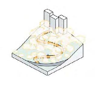
The interplay of light and water symbolism serves as a powerful metaphor for the interconnectedness of human actions and their consequences on our oceans. The installation seeks to visually represent the ripple effect caused by a single act, emphasizing that even small changes in behavior can have a profound collective impact.
As viewers engage with the installation, the sparkling lights echo the metaphorical sea of waves, spreading awareness of the far-reaching consequences of plastic pollution. These light patterns extend beyond the immediate installation, casting a visual representation of water ripples onto surrounding surfaces such as the bridge wall and floor.