Interview
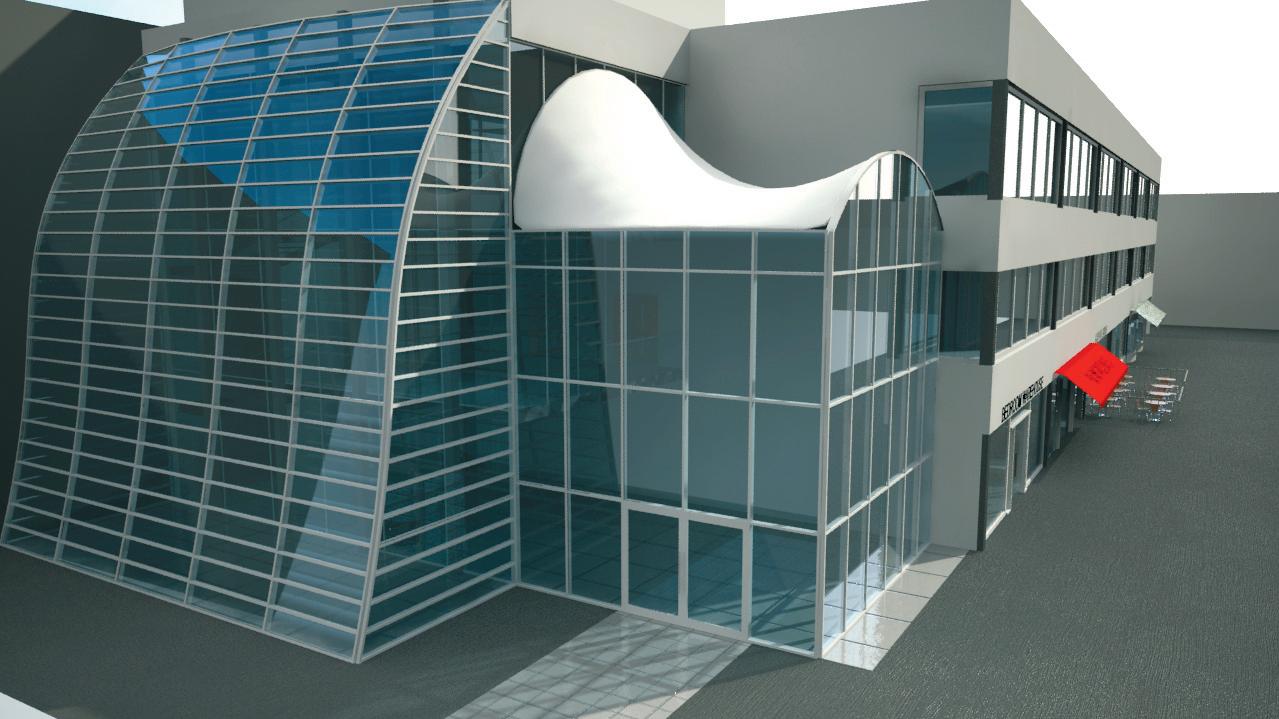
Scan-to-BIM a reality check Building Information Modelling (BIM) is mainly focused on newbuild projects, but refurbishment and renovation requires a different approach. Using 3D Laser scanning, there is a growing interest in ‘Scan-to-BIM’. Martyn Day caught up with Steve Bury a leading UK practitioner of point cloud data and Autodesk Revit. This eight storey university building was scanned and modelled with 300 laser scans. Bury Associates then used the scan data to create the final fully parametric Building Information Model in Autodesk Revit
T
he concept of Scan-to-BIM sounds like something out of science-fiction. Take one building, laser scan millions of points in minutes and produce a ‘point cloud’. Next, import that into your BIM tool, which automatically recognises doors, walls, windows, ceilings, and spaces and you get an intelligent 3D BIM model out the other end. Unfortunately, it is science fiction; it is just not yet possible. With a growing refurbishment market, Scan-to-BIM is getting a lot of coverage in the industry and now, with nearly every major CAD software developer supporting point cloud data within their base systems, the hype has never been greater. As one of the UK’s emergent surveying experts offering a Scan-to-BIM service, Steve Bury of Bury Associates in Worcester, has a much more realistic view of what is possible. Formed in 1997 Bury Associates has been supplying Revit models from survey data since 2006. AEC Magazine spoke to Mr Bury to get a sense of where the scanto-BIM market has developed and where it is now.
20
July / August 2012
p20_21_22_23_AEC_JULYAUG12_ScantobimHK.indd 20
Laser-scan workflow
to tie it into a survey control. We survey with a GPS system; it’s accuMartyn Day With laser scanners and point cloud data now featuring heavily in your rate to within a centimetre or two and we Scan-to-BIM service, how has your survey- use that to get a datum, which links back to Ordnance Survey data and we put that on ing workflow changed over the years? an Ordnance Survey grid. Here, we tend to knock off the first three Steve Bury We were using standard data collection methods — total stations with digits of the reference because Revit doesn’t AutoCAD — and then taking these DWG like these huge co-ordinates. Then we travel files into Revit and building our BIM mod- through the building taking measurements, els from there. Now we also use laser scan- referring back to the grid system, so we ners, which measure millions of points per build an accurate survey of the building. second; measuring millions of points across Then we bring the laser scanners in and we whole building surfaces, as opposed to a tie into those control points. We effectively create layers of scan data total station that is just measuring precise built on an accurate grid system. When you specified points on key features. Laser scanners are like a blunderbuss laser scan a job, you take a number of scans they just get everything, while a total station and these add together within that accurate measures what you want — the corners of grid system. We also put up reference targets throughthe room, the height of the room, the posiout the building. It means you can freely tion of the door etc. While sometimes it’s quicker to use the move around with the laser scanner to capold methods, rather than the laser scanner, ture point clouds and bring them all together the great advantage of scanning is its speed back at base on the computer and the softon site. You collect absolutely everything ware automatically recognises the targets, very quickly. While there will be blind- spheres and chequer boards we have put up. While this process is automated you still spots as laser scanners work on line-ofsight you get most things. But we still use a need the human eye to make sure everything tape measure and all measurements have is set up okay. If there’s an error then the
www.AECmag.com
16/7/12 15:38:15