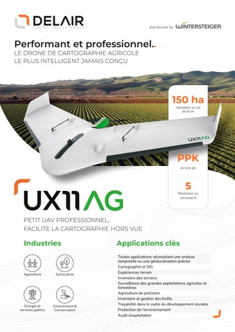
Performant et professionnel.. LE DRONE DE CARTOGRAPHIE AGRICOLE LE PLUS INTELLIGENT JAMAIS CONÇU
150 ha résolution au sol de 8 cm
PPK as-you-go
5
Résolution au sol jusqu’à
PETIT UAV PROFESSIONNEL, FACILITE LA CARTOGRAPHIE HORS VUE
Industries
Agriculture
Sylviculture
Énergie et services publics
Environment & Conservation
Applications clés Toutes applications nécessitant une analyse temporelle ou une géolocalisation précise Cartographie et SIG Expériences terrain Inventaire des terrains Surveillance des grandes exploitations agricoles et forestières Agriculture de précision Inventaire et gestion des forêts Traçabilité dans le cadre du développement durable Protection de l’environnement Audit d’exploitation