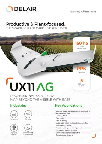
Productive & Plant-focused.
THE SMARTEST PLANT MAPPING DRONE EVER
150 ha (370 ac) @ 8 cm GSD
PPK as you go
5
GSD down to 5 cm
PROFESSIONAL SMALL UAV, MAP BEYOND THE VISIBLE WITH EASE Industries
Agriculture
Forestry
Power & Utilities
Environment & Conservation
Key Applications All applications requiring temporal analysis or precise geolocation Mapping & GIS Field trials Field inventory Large scale farms and plantations scouting Precision agriculture Forest inventory and management Traceability for sustainibility Environmental and conservation Due diligence of farms