CULTURAL EXCHANGE EROSION CONTROL GREENWAY DESIGN THERAPY GARDEN
GREEN RIBBON
OBSERVABLE FOREST FREETIME SKETCHES
PAGE 1-4 PAGE 28-32 0304050607
PAGE 21-24
PAGE 5-8PAGE 9-14PAGE 15-20PAGE 25-28
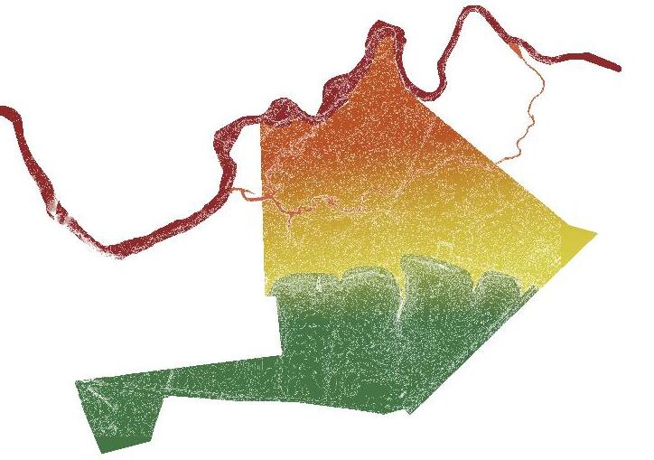
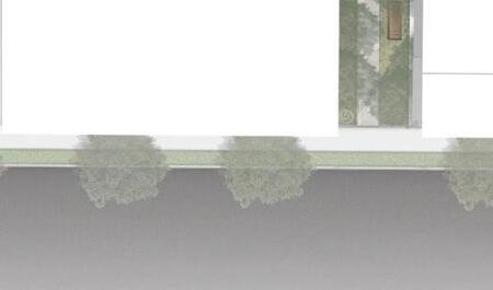
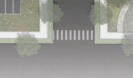
Major Intersection
Minor Intersection Ridgeway Big O The Bean Connectors
ON-SITE EROSION MITIGATION
PROJECT BACKGROUND
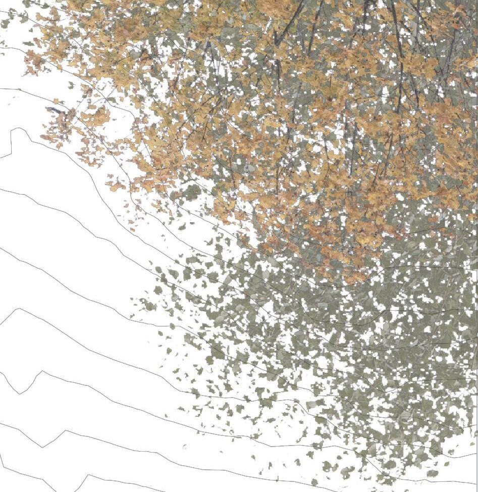
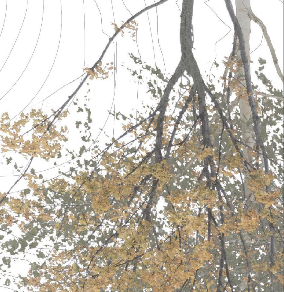
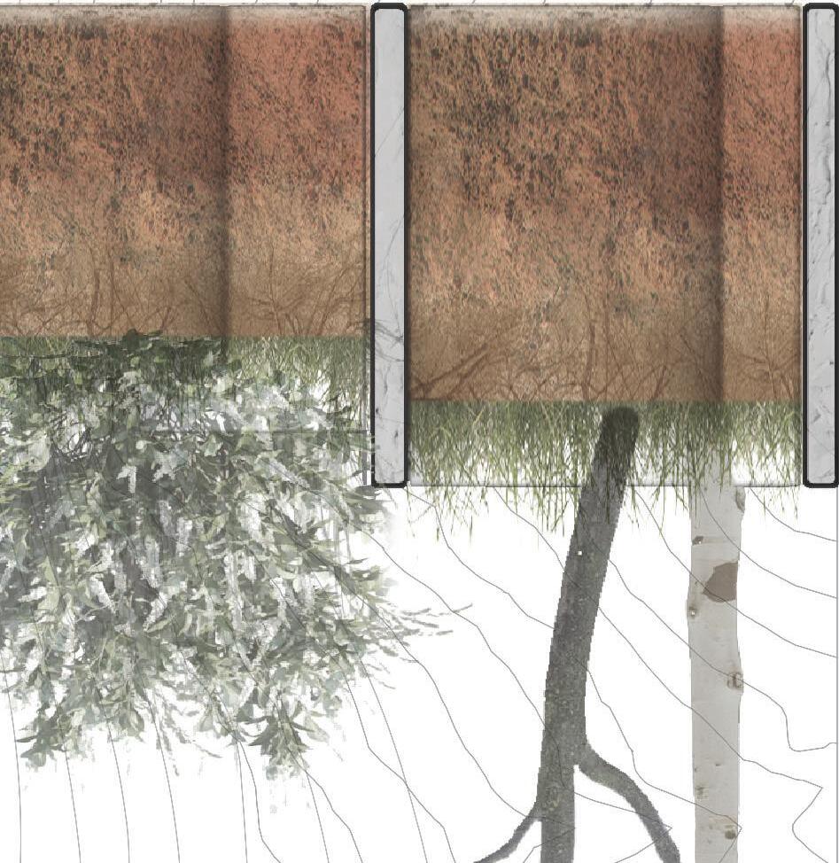
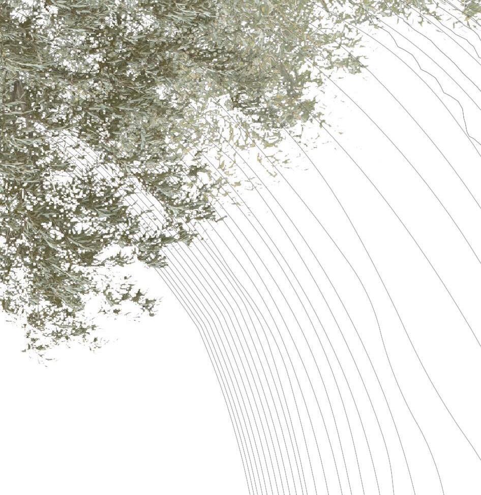
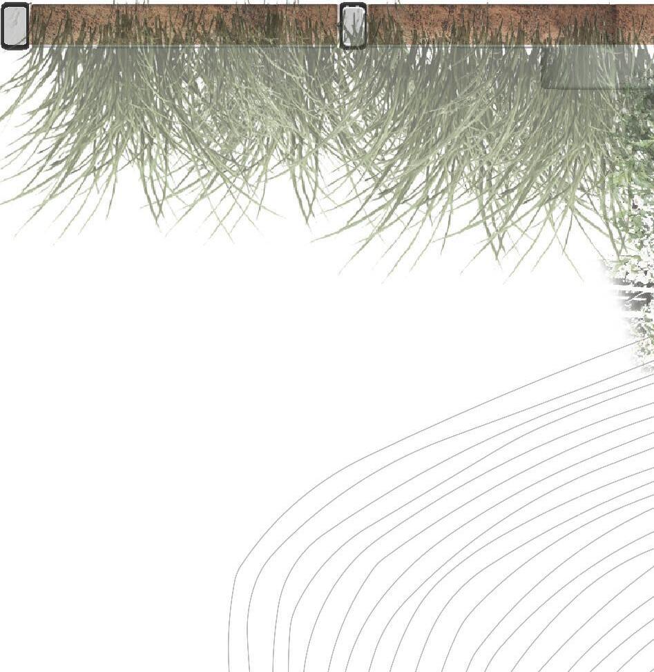
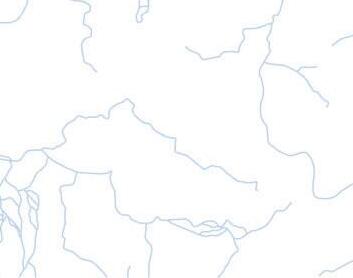
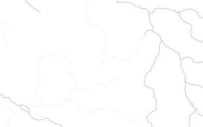
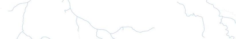
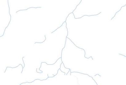
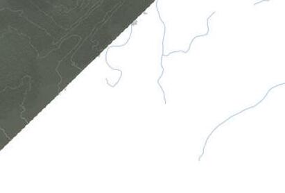
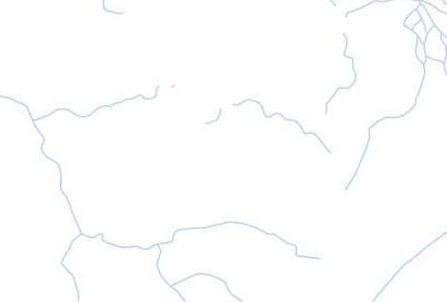
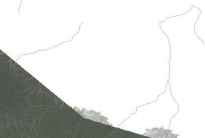
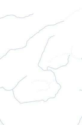
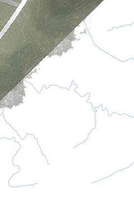
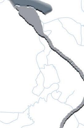
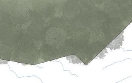
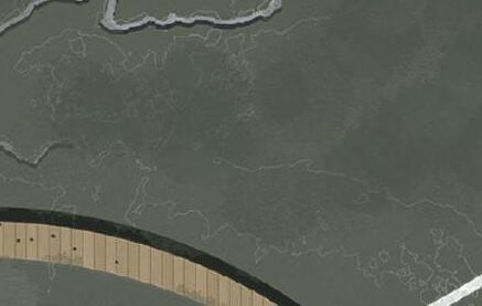
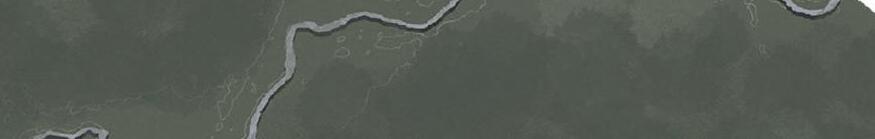
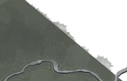
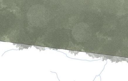
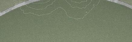
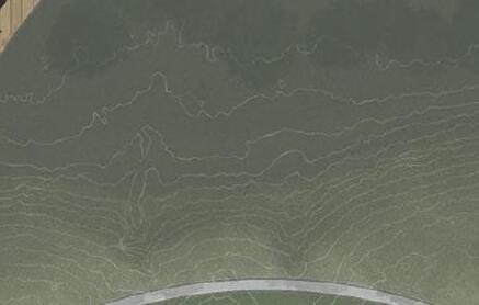
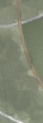
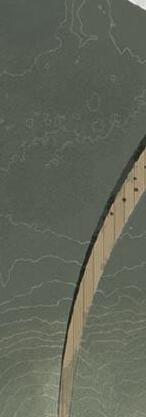
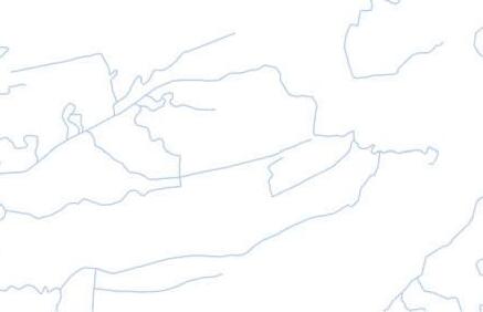
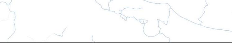
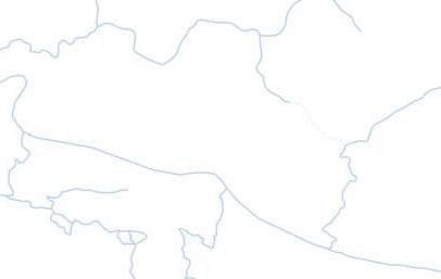
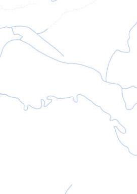
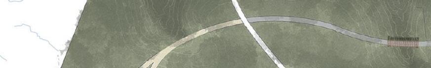
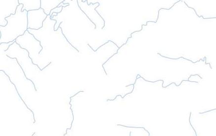
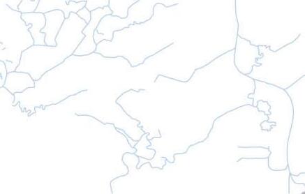
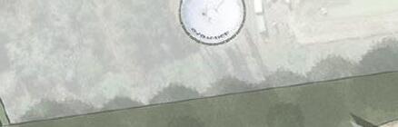
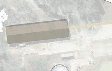
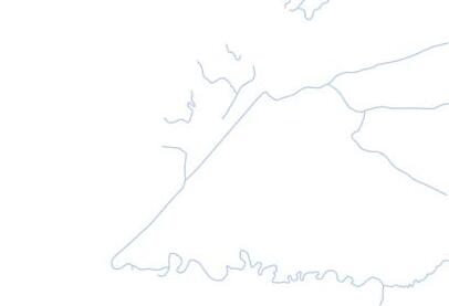
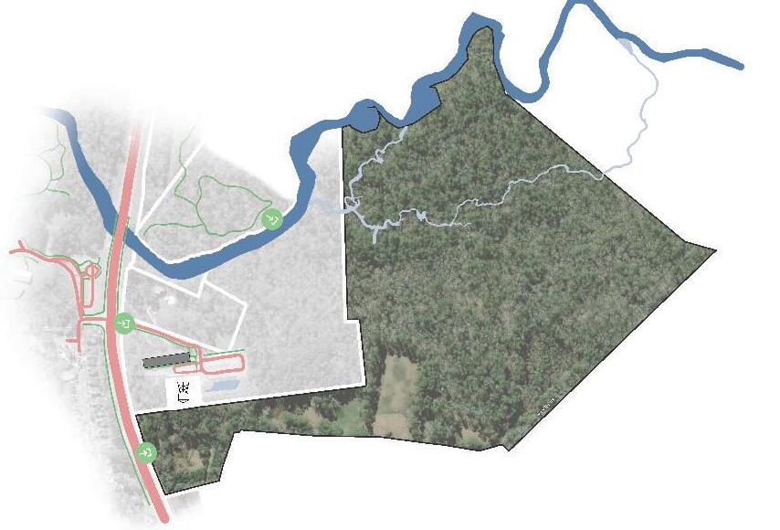
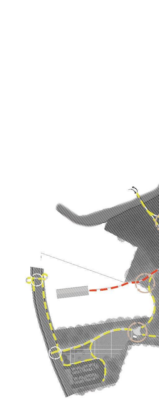
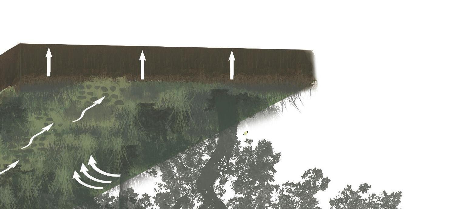
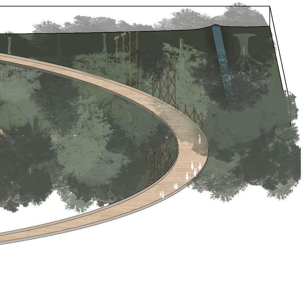
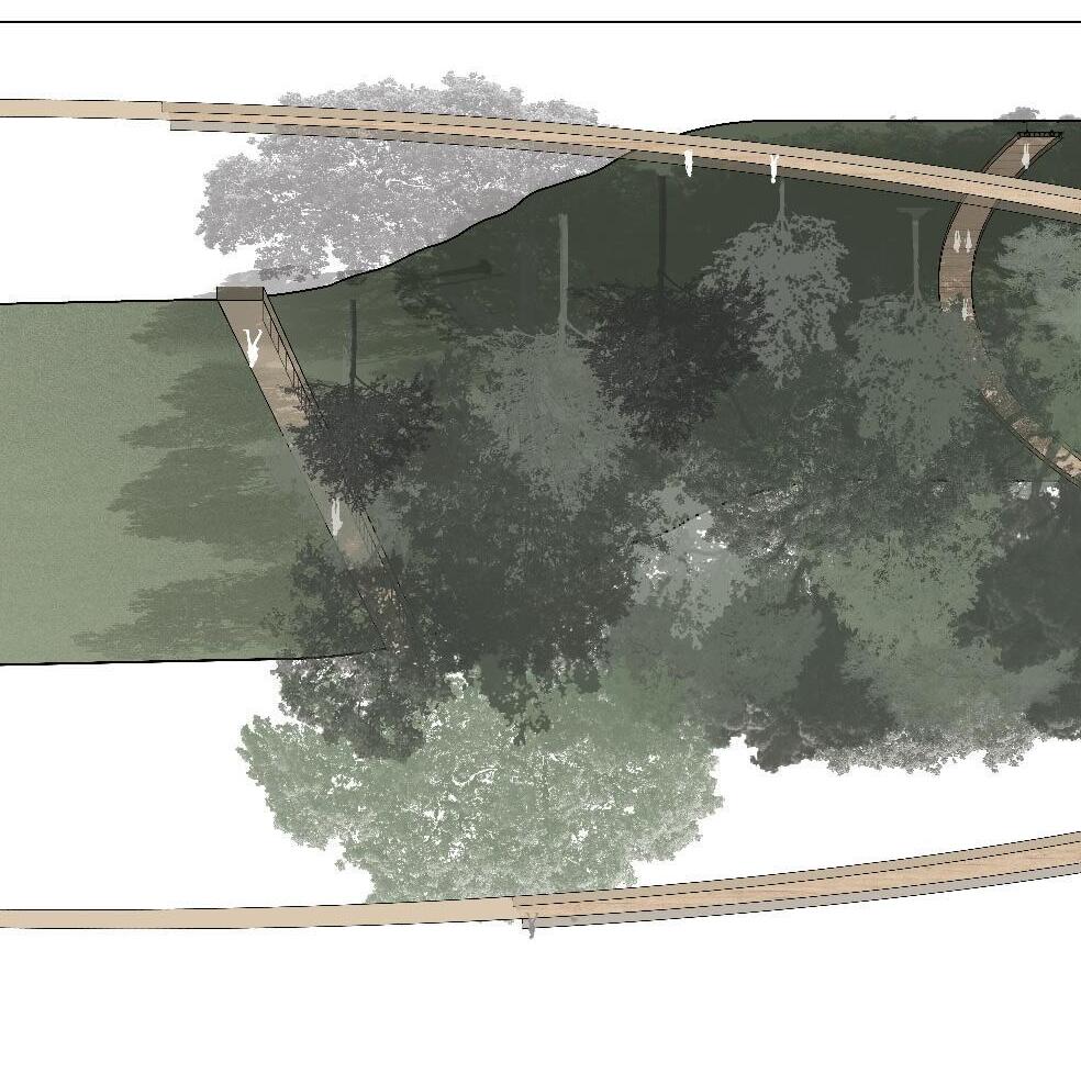
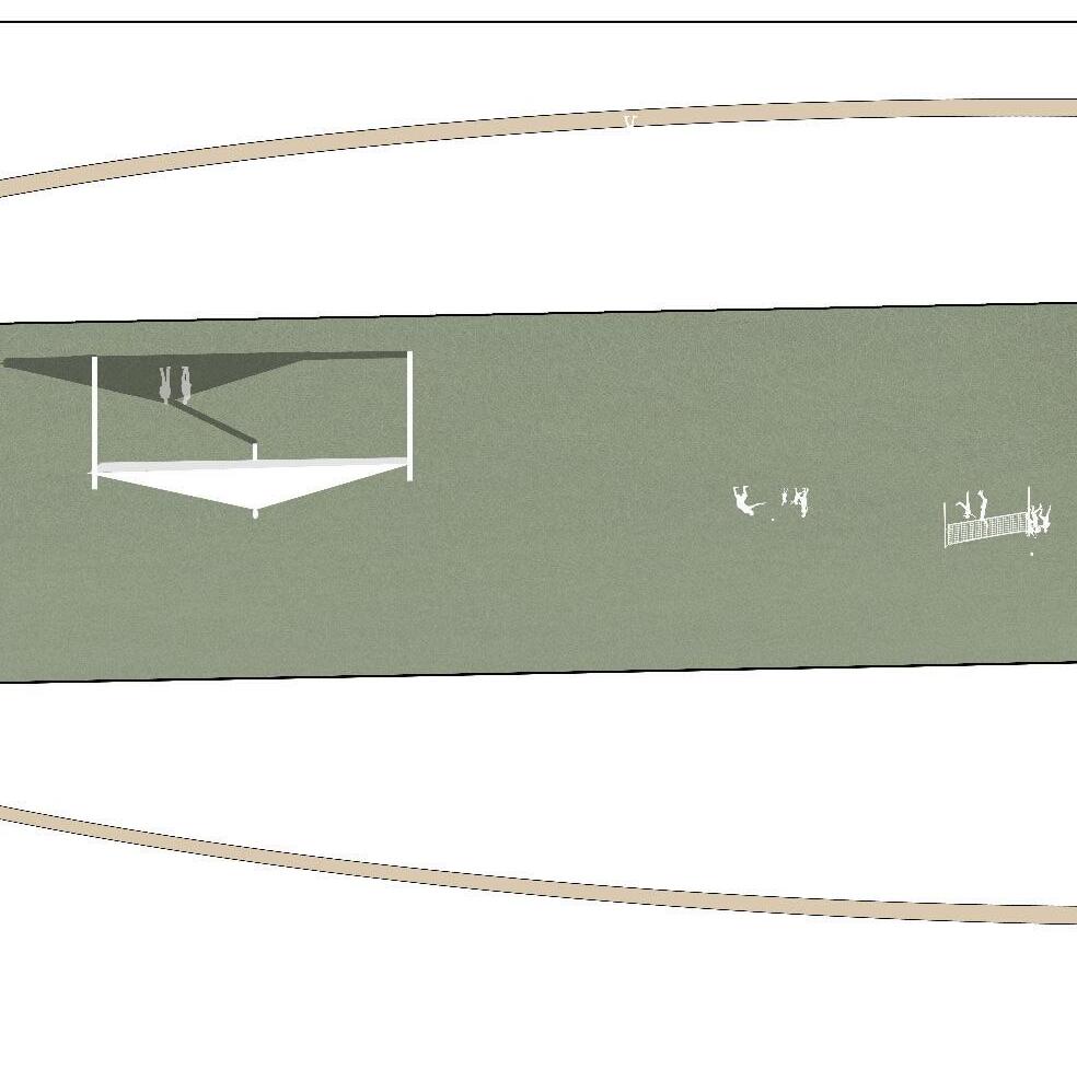
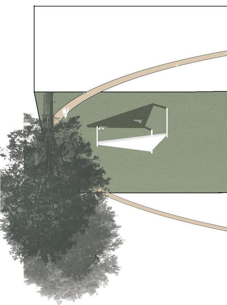
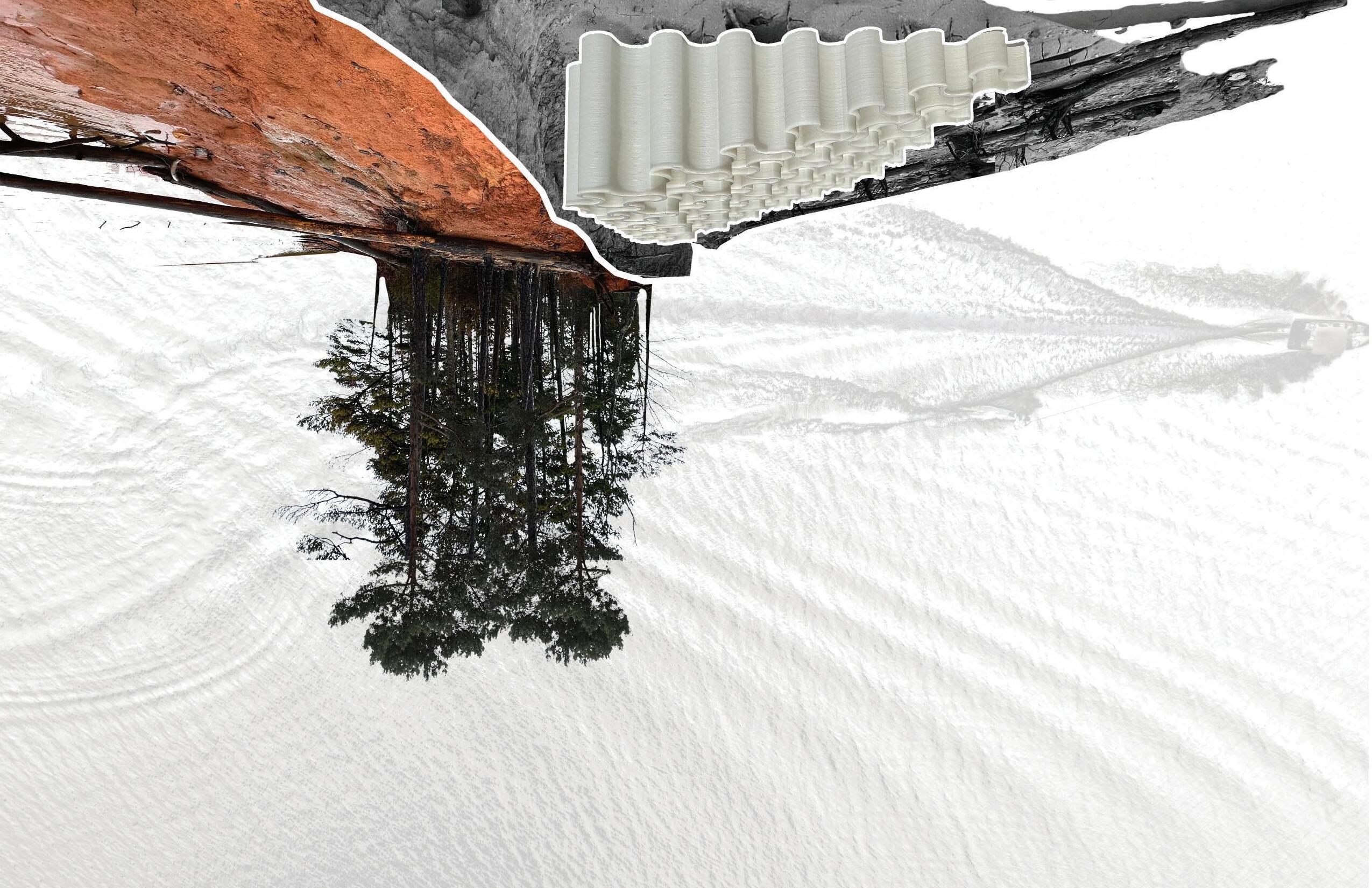
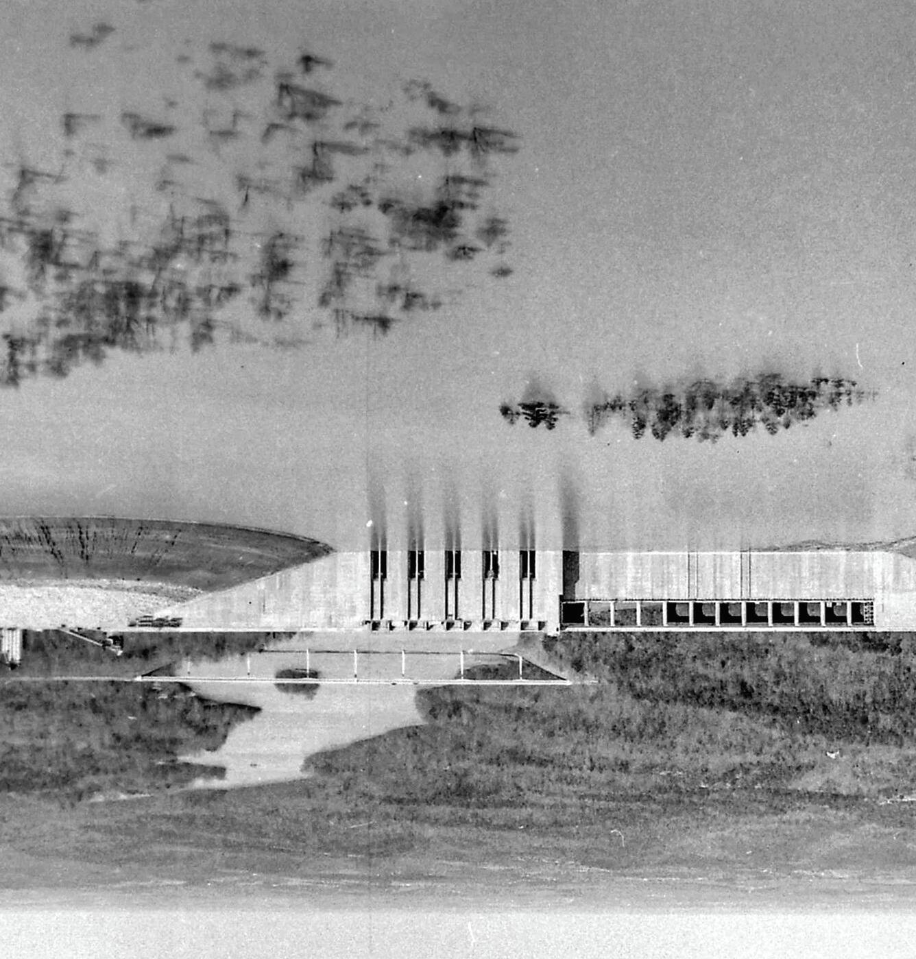
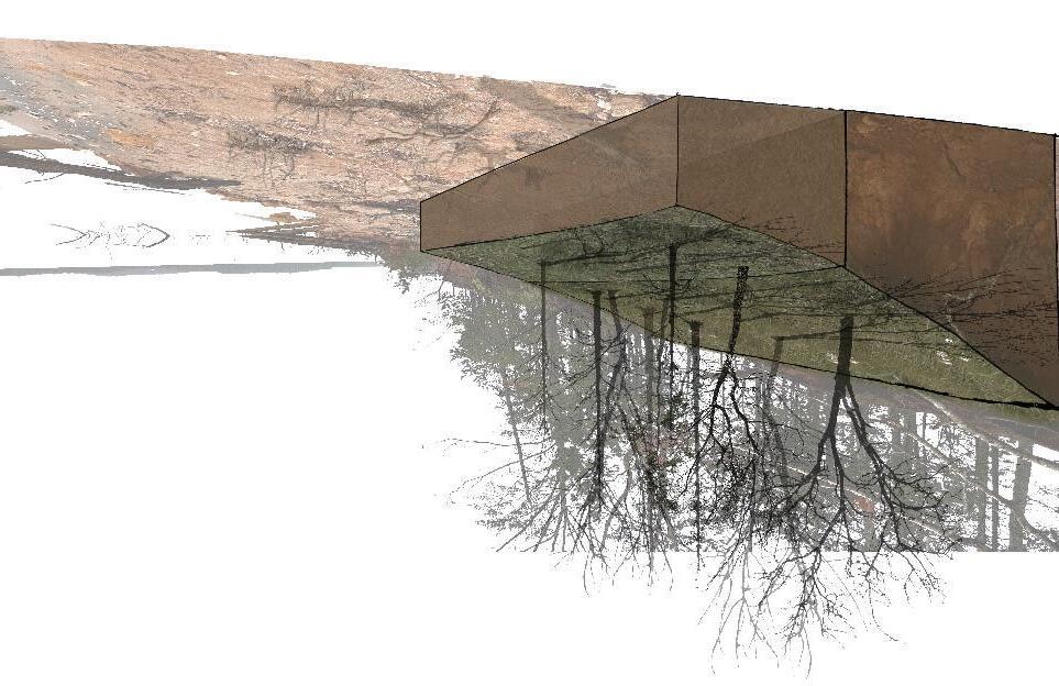
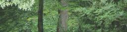
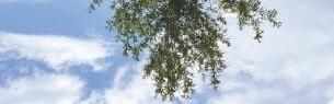
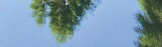
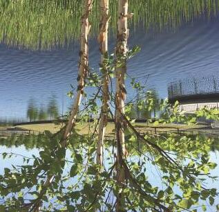
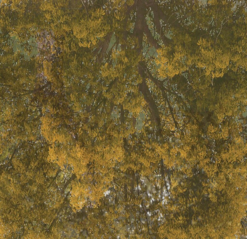
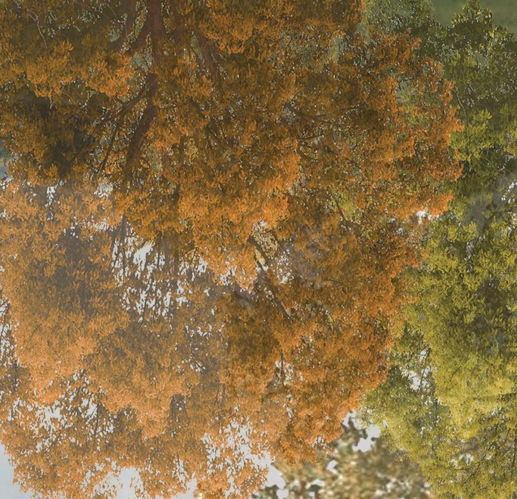
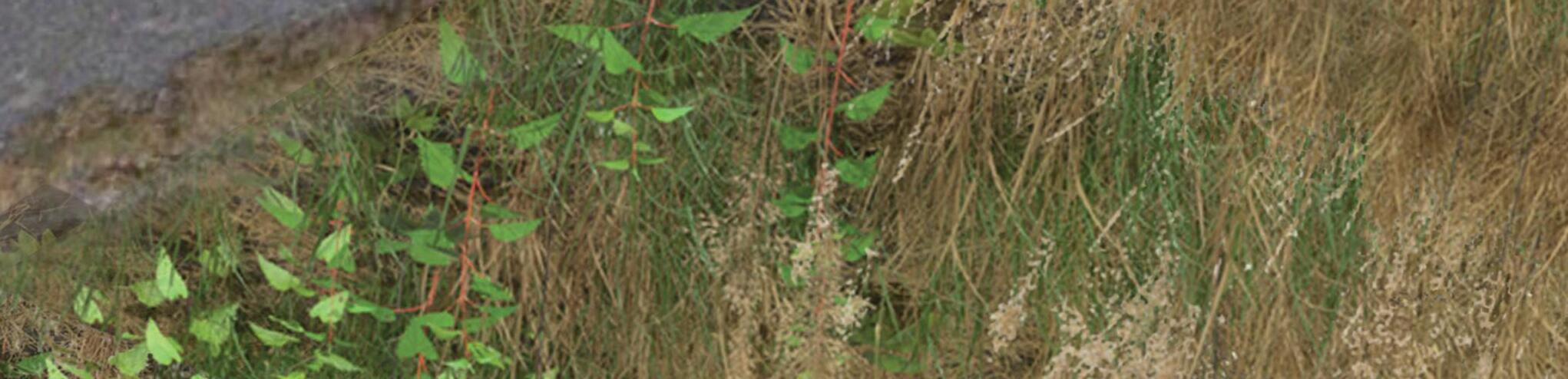
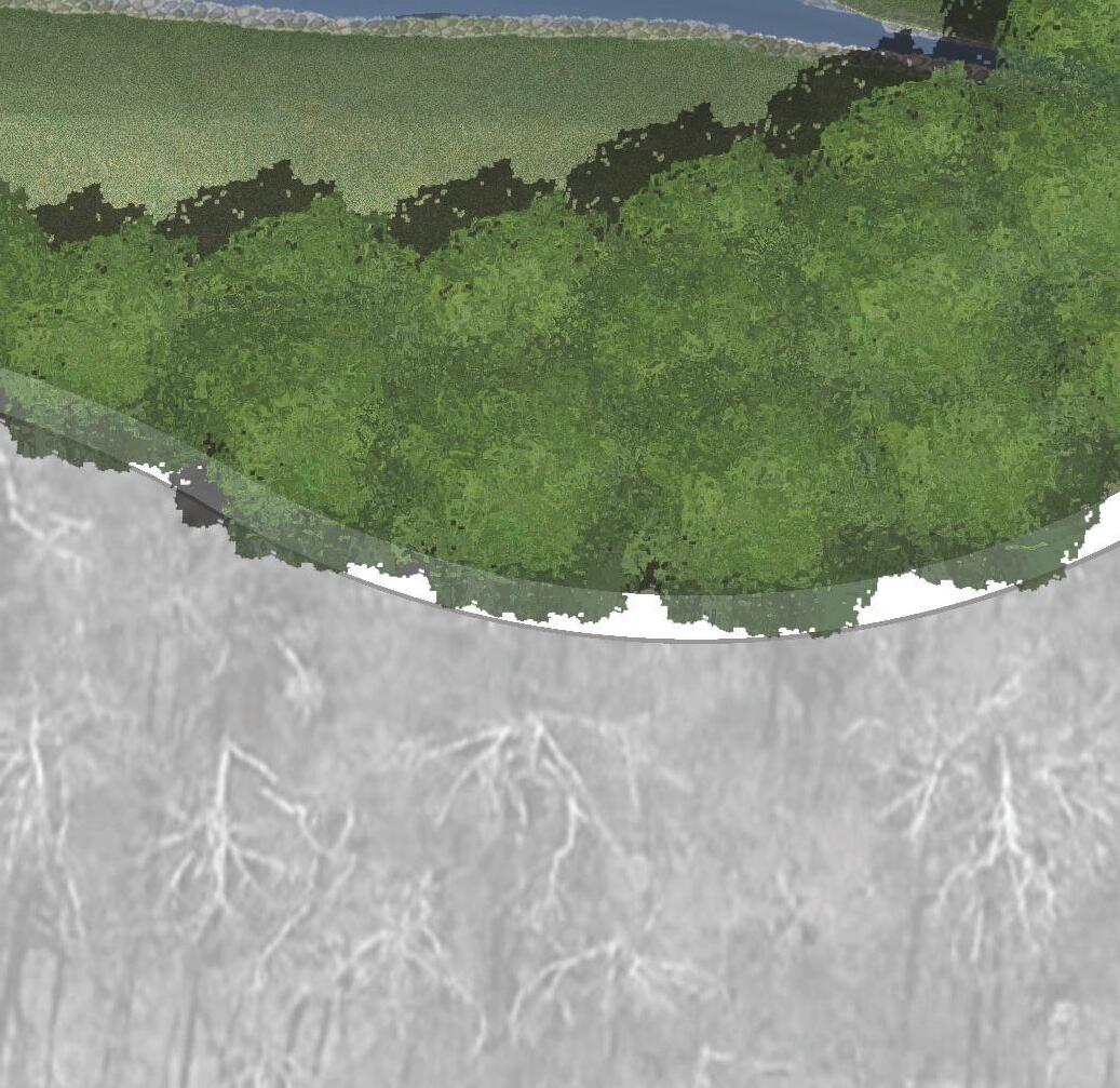
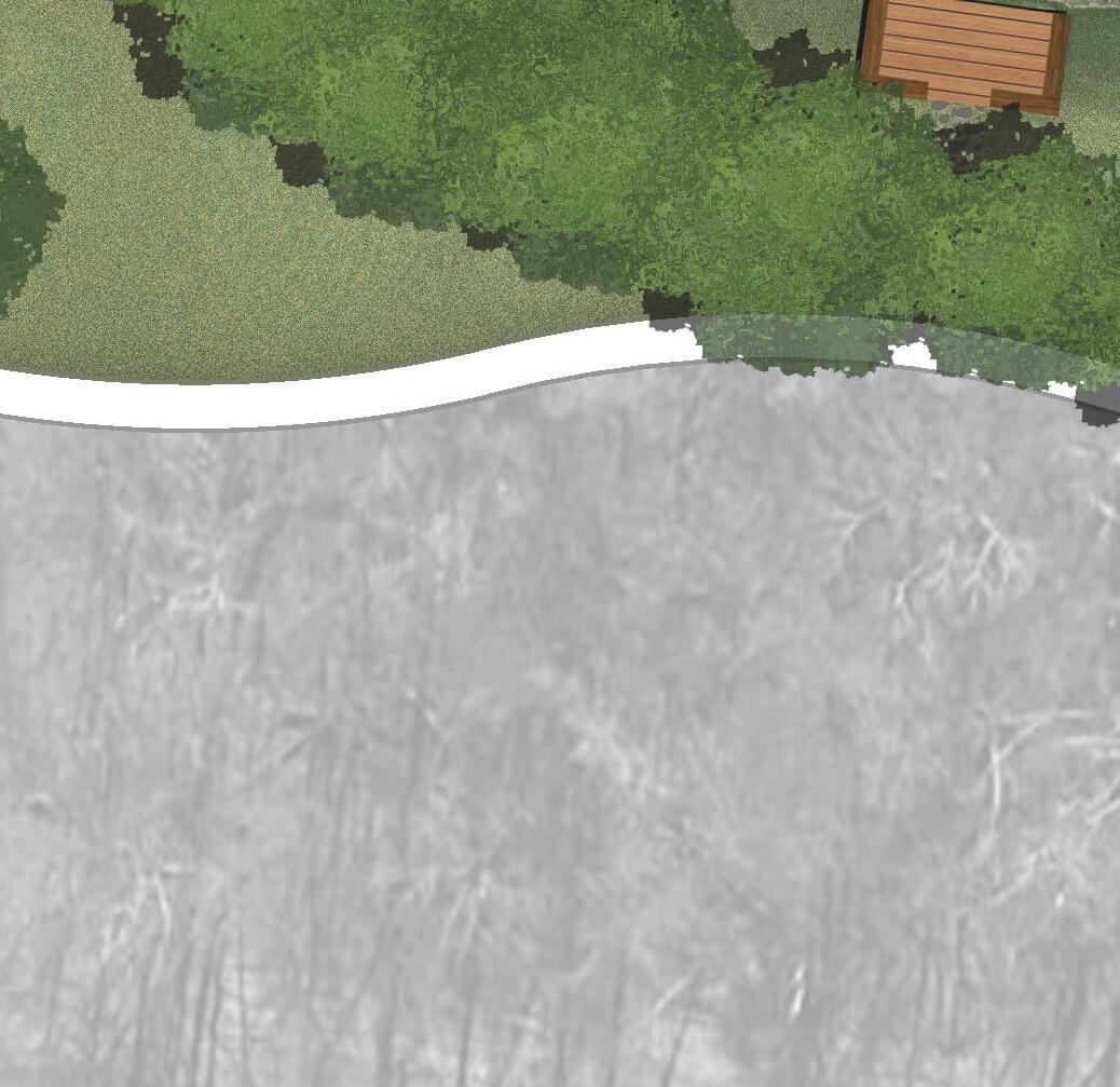
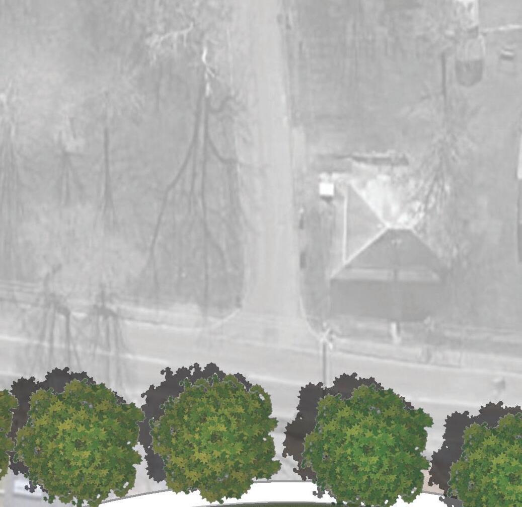
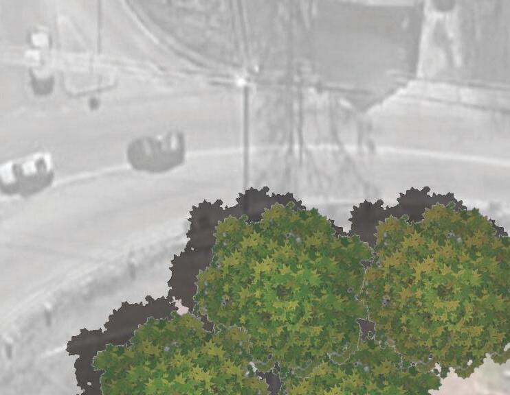
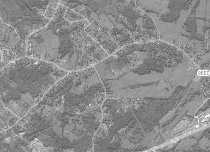
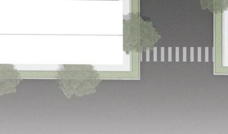
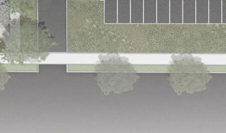
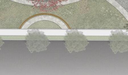
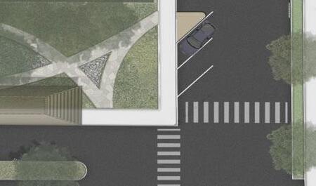
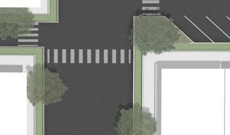
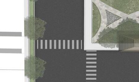
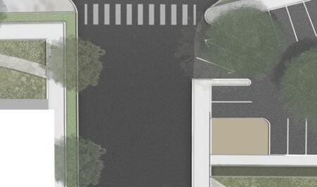
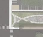
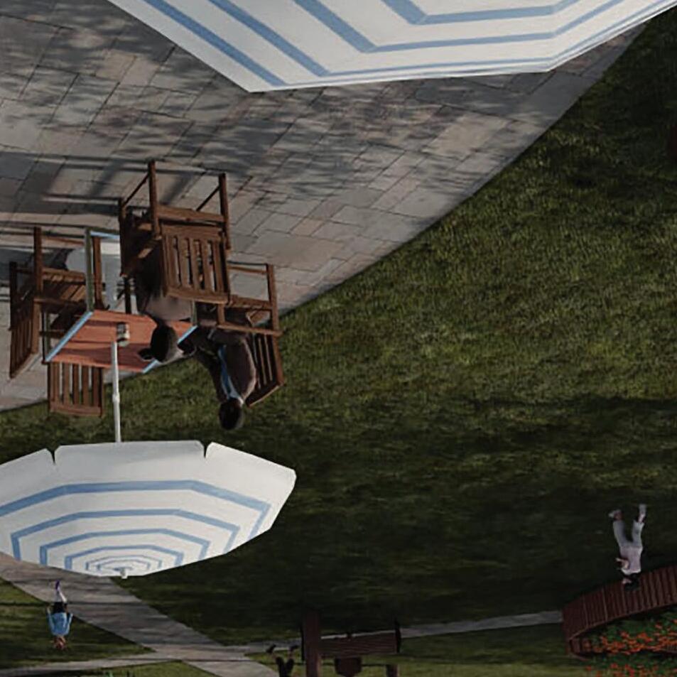
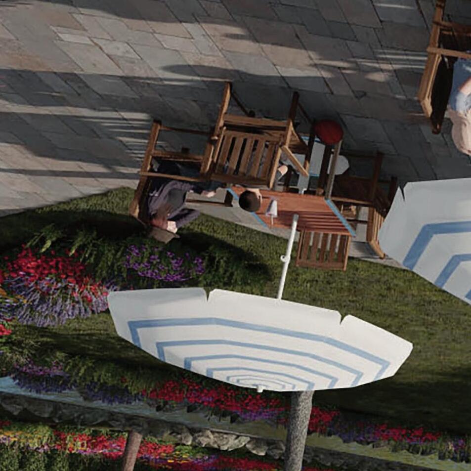
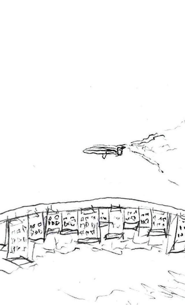
One destination in a much broader greenway and blueway system, the Observable Forest, offers an immersive experience that blends nature with observation. Designed for education, it allows visitors to explore the layers of an ecosystem, from the forest floor to the canopy, without disturbing the natural balance. The park features upland open spaces, forested paths, and serene boardwalks leading to a wetland ecosystem. Carefully planned trails and observation points help visitors understand the complex relationships between plants, animals, and their surroundings, fostering appreciation and encouraging conservation of these vital ecosystems.
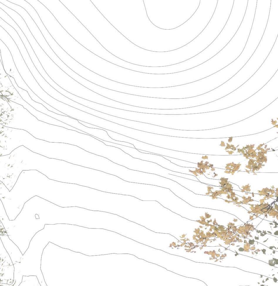
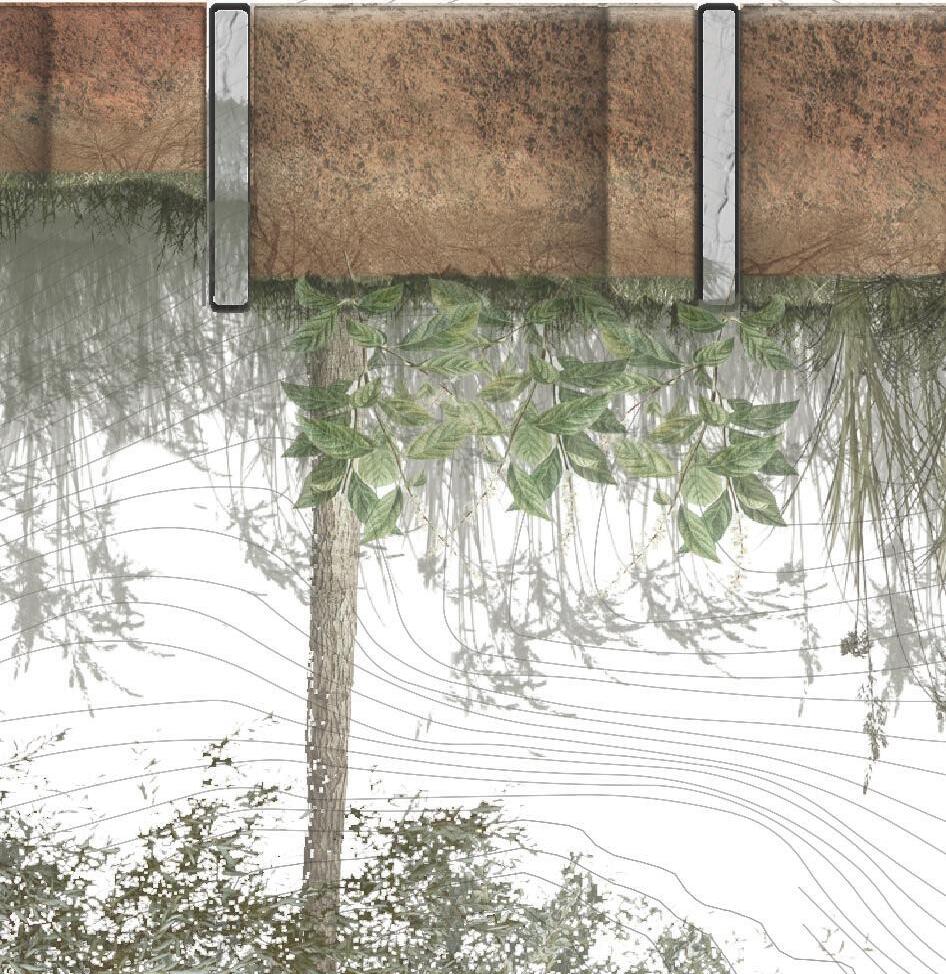
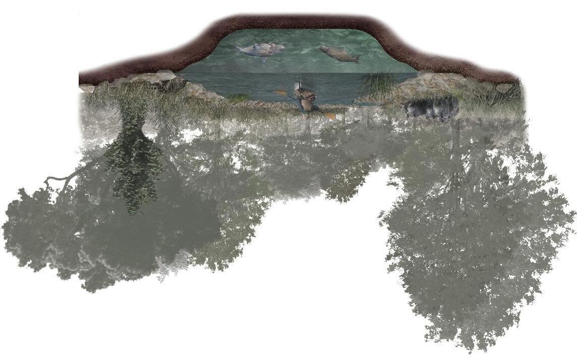
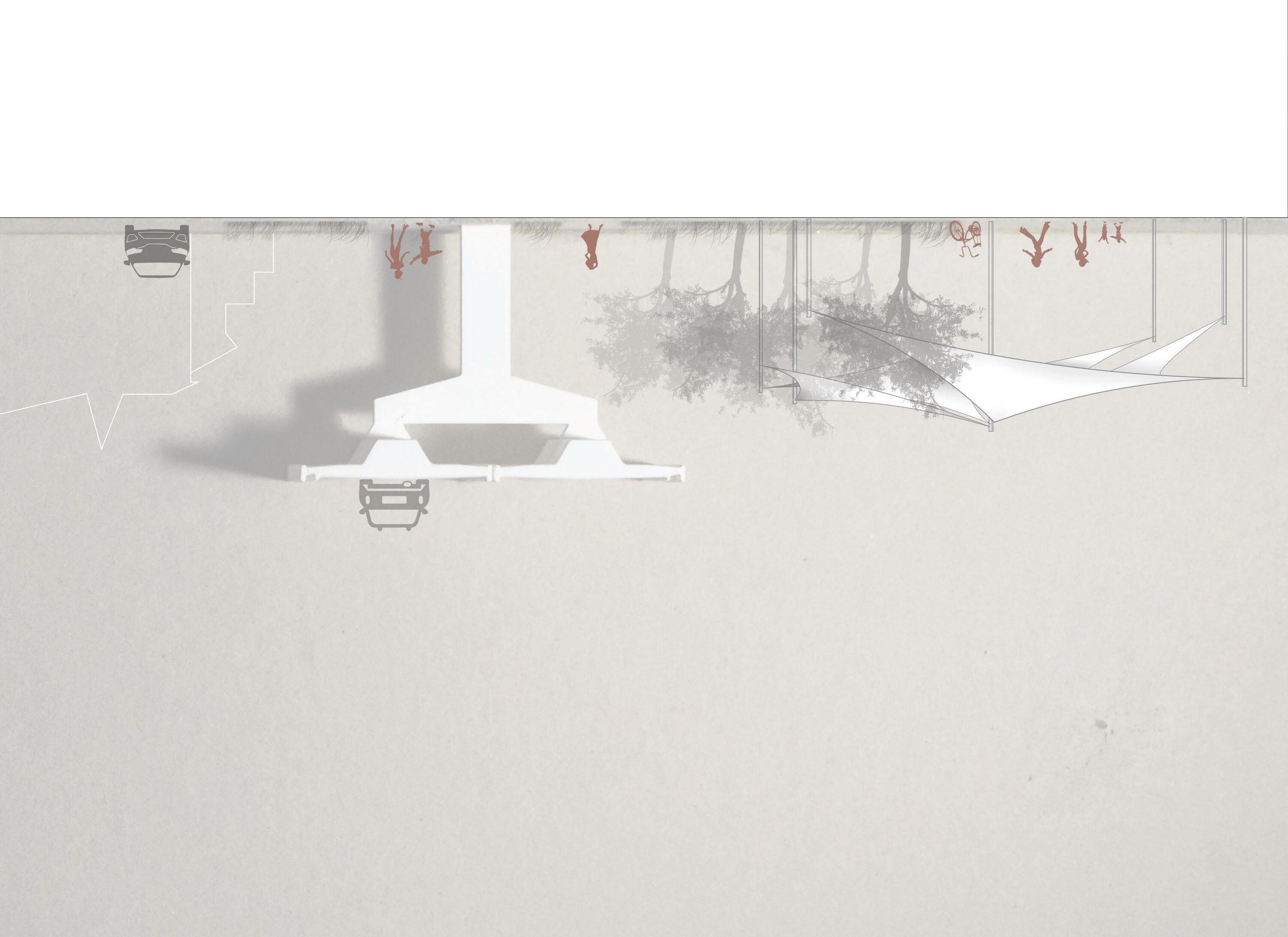
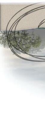
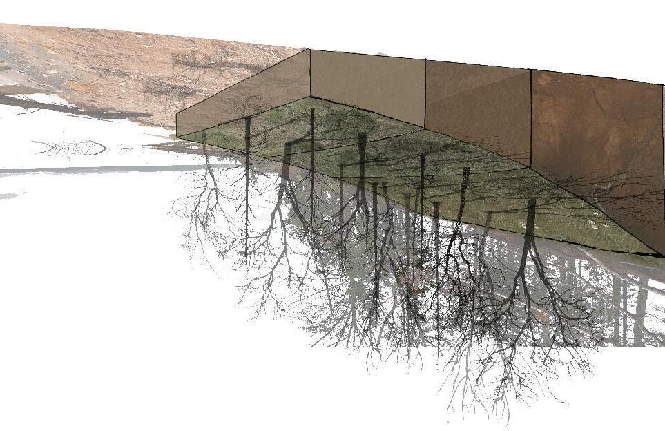
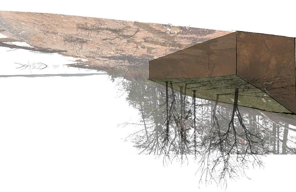
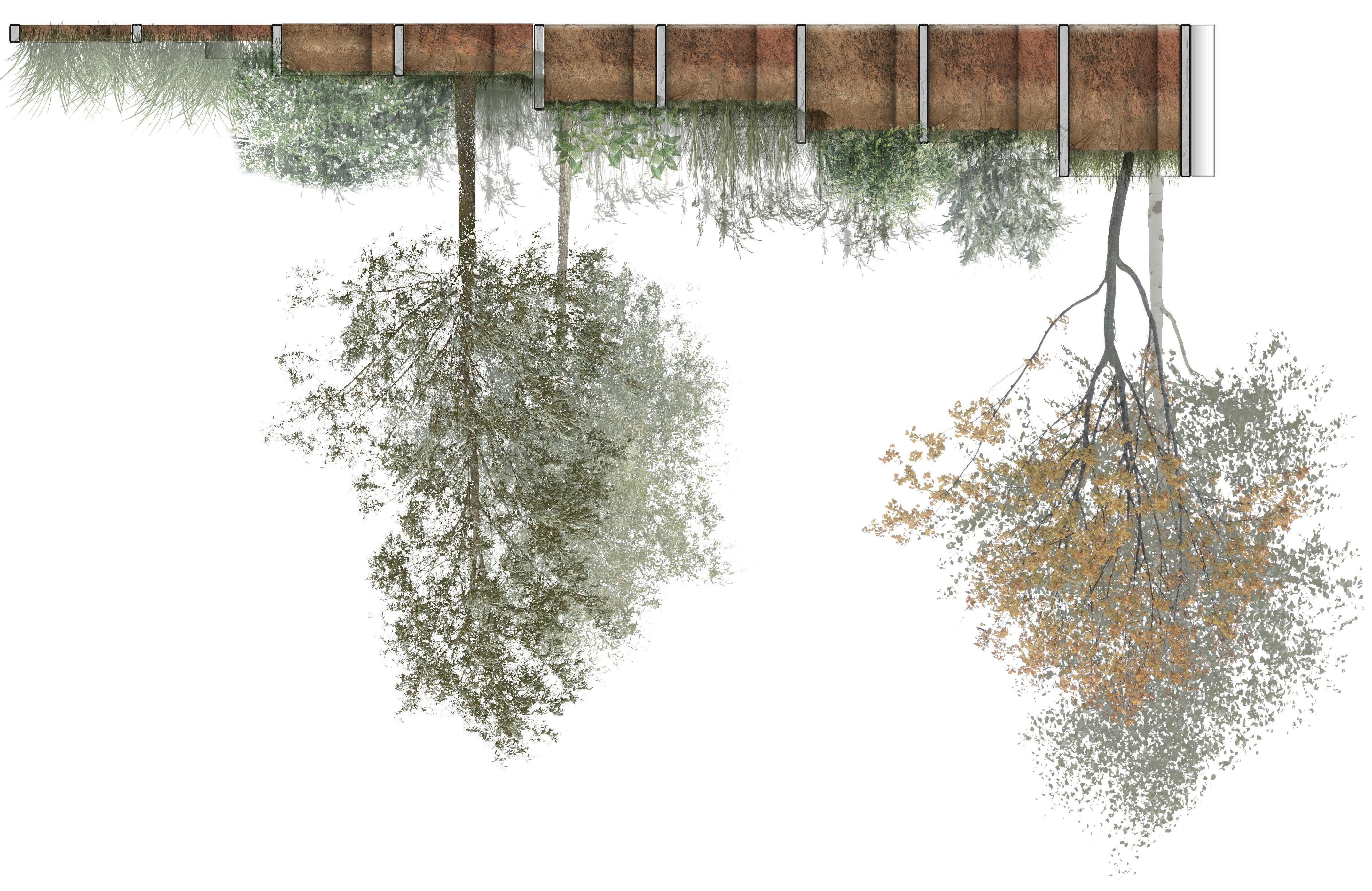
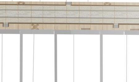
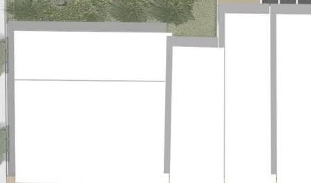
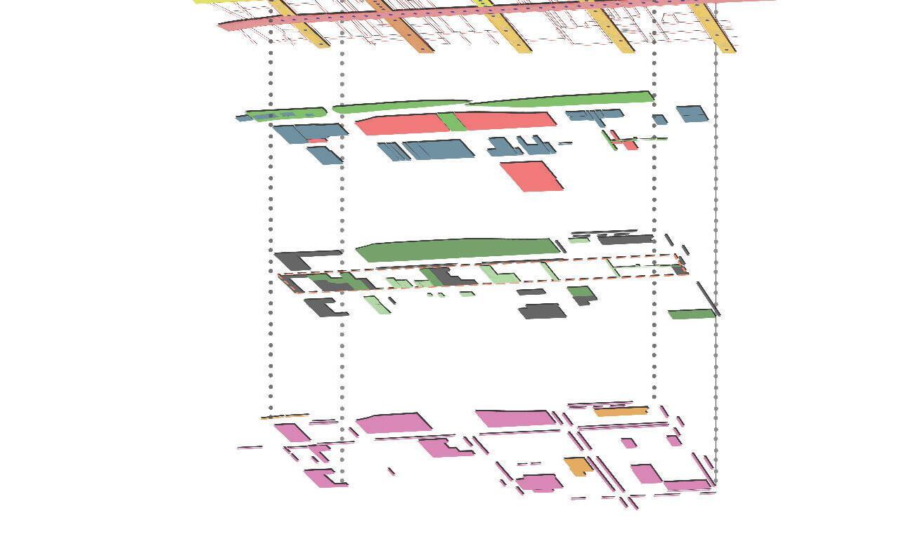
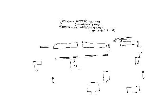
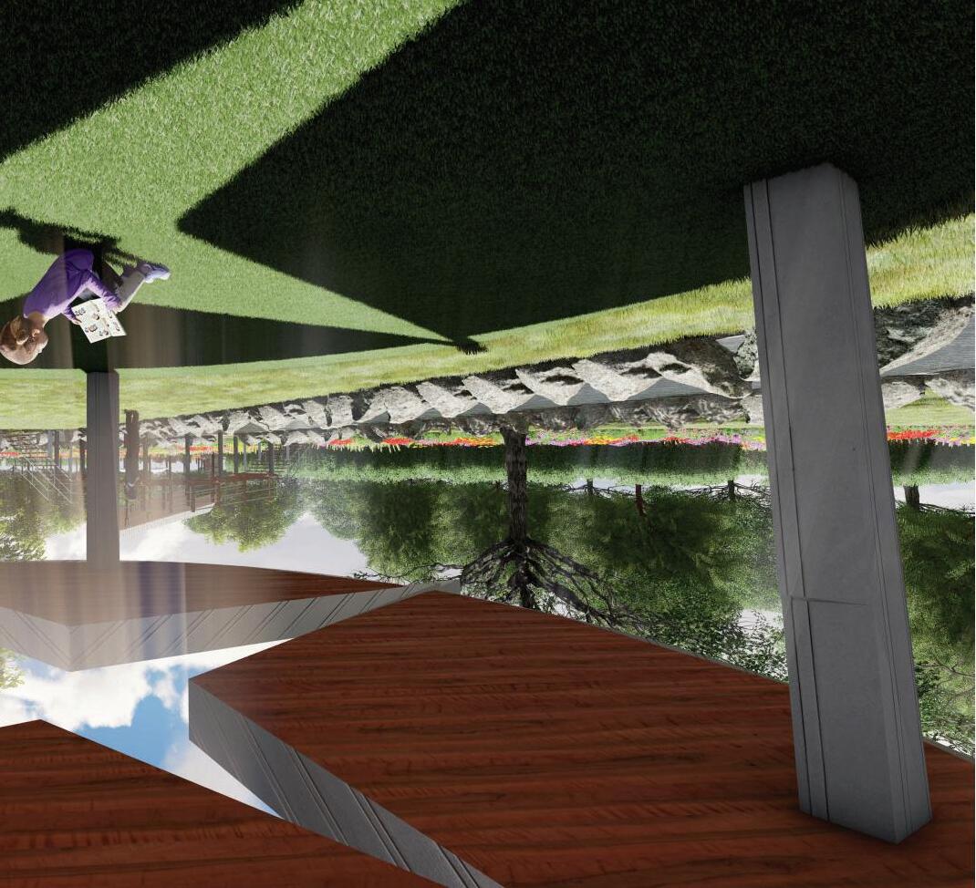
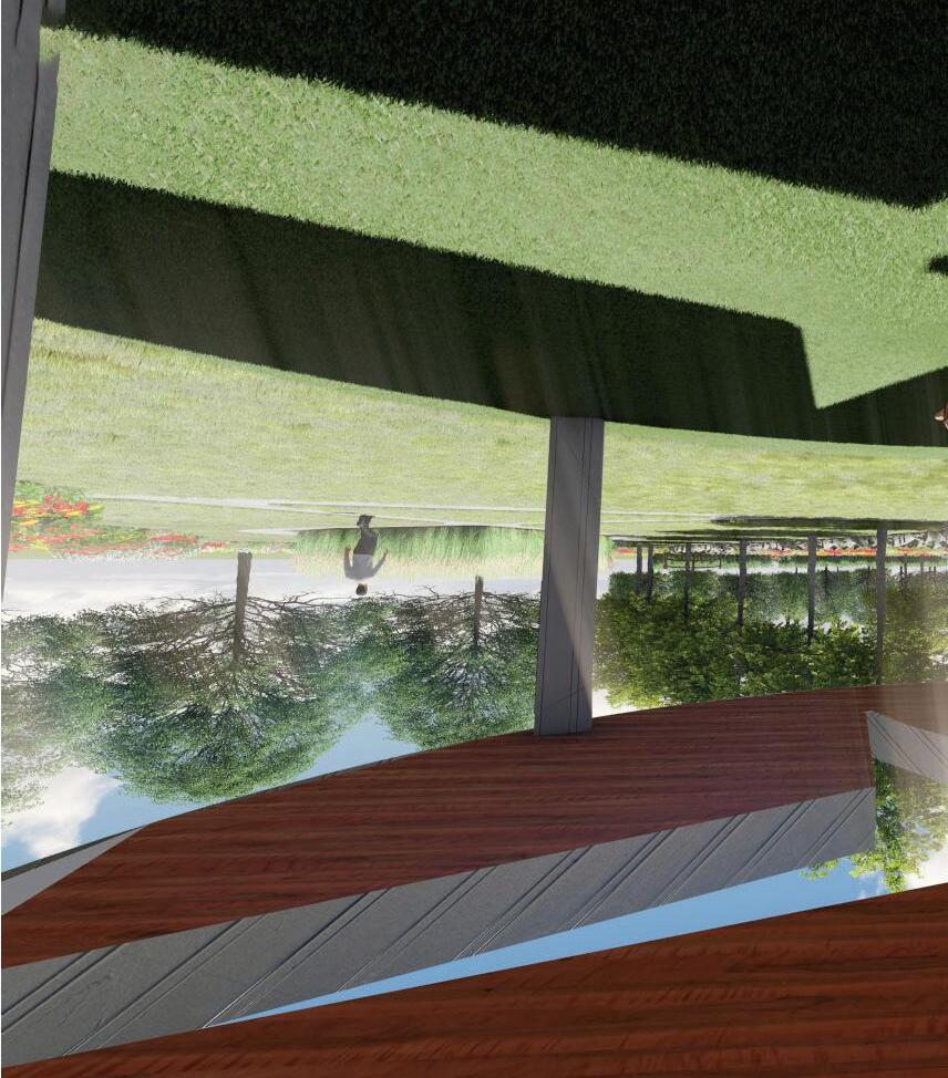
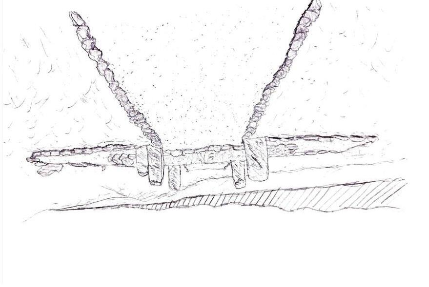
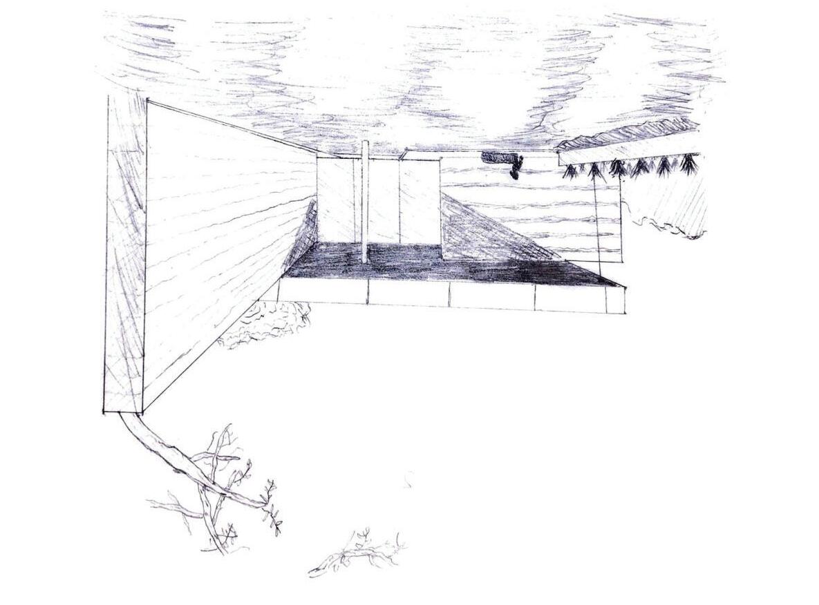
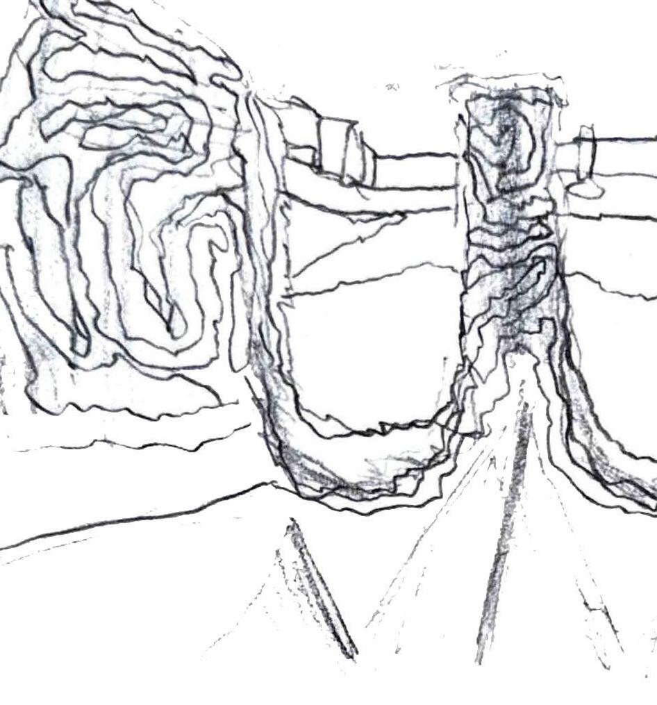
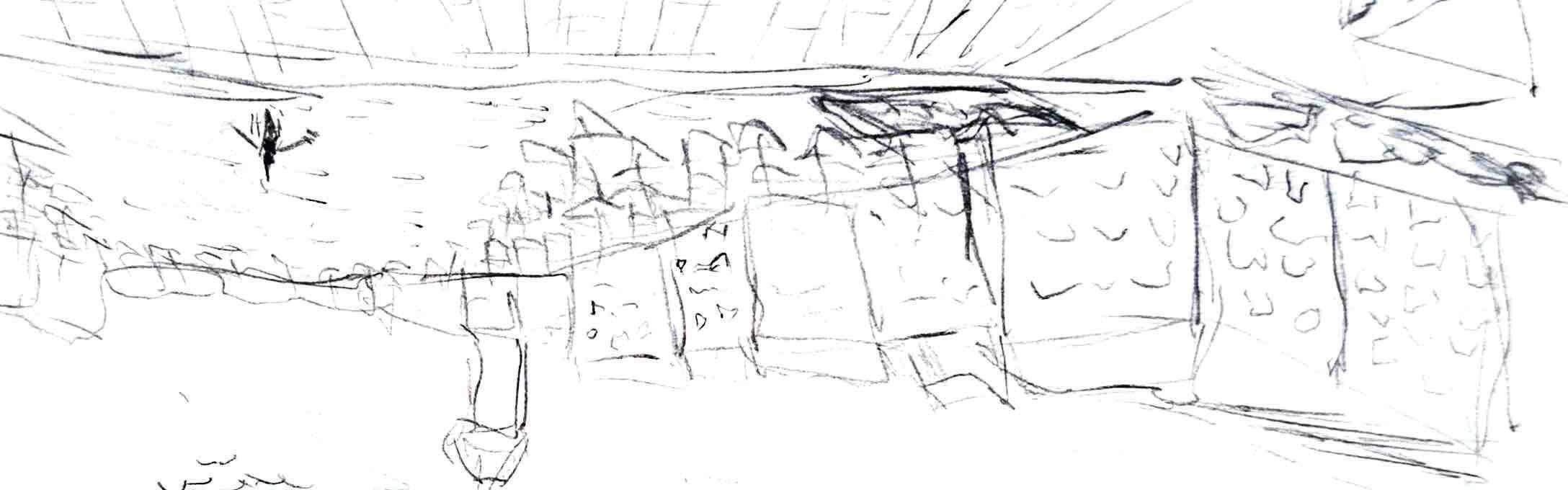
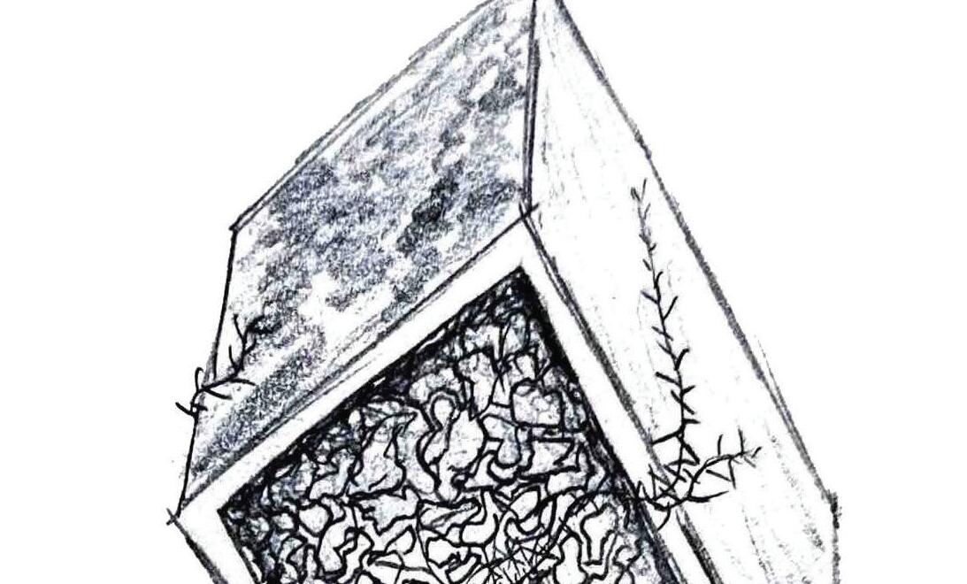
AXONOMETRIC & SECTION
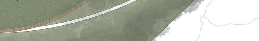
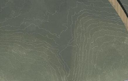
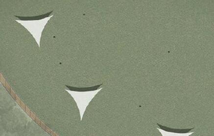
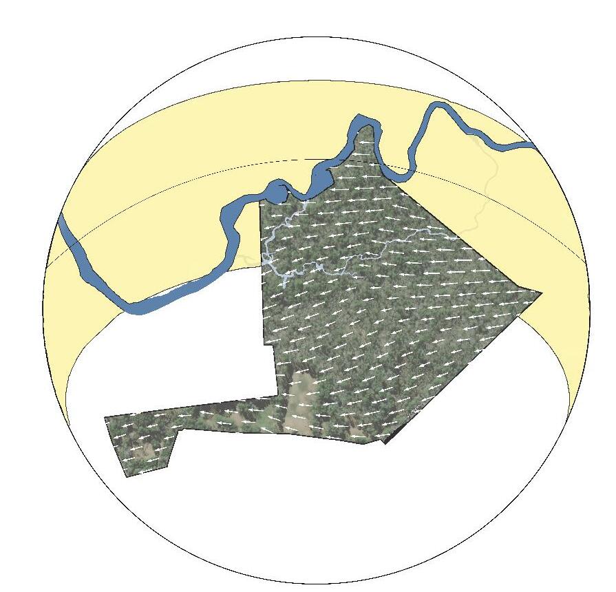
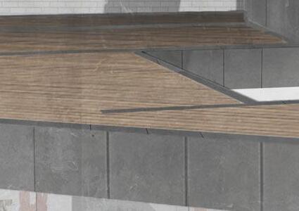
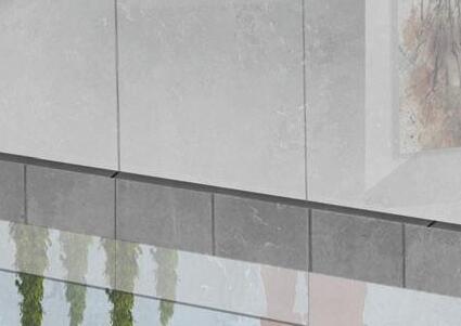
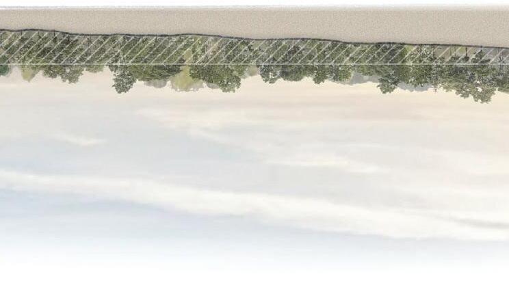
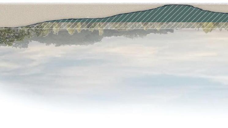
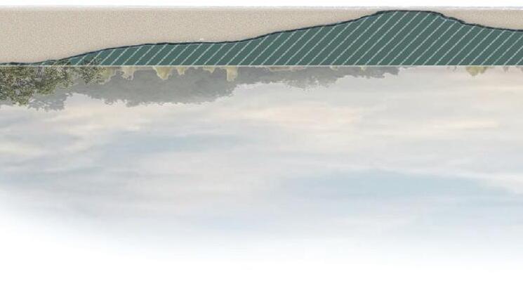
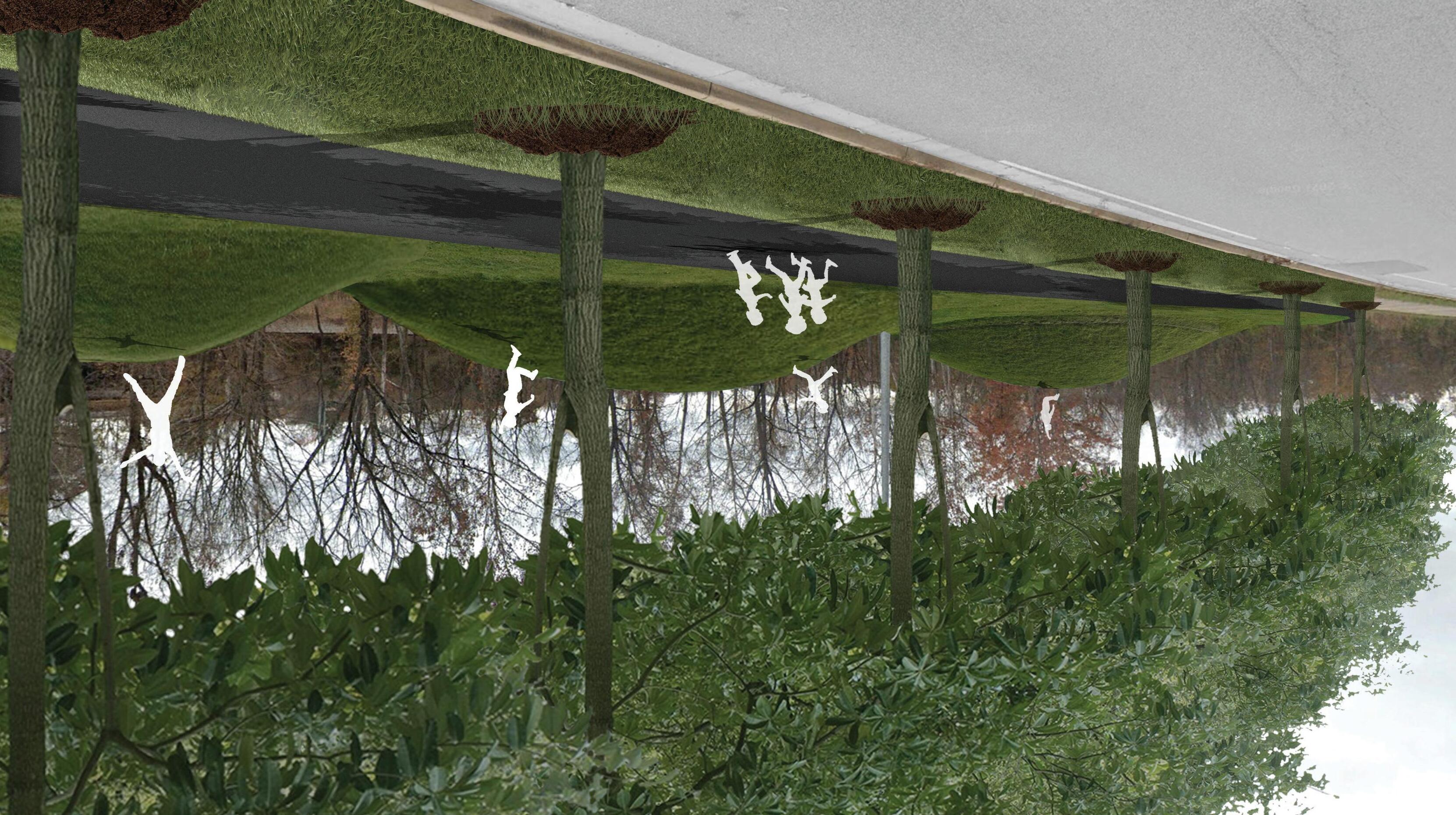
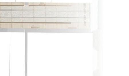
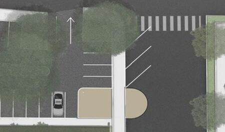
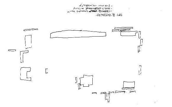
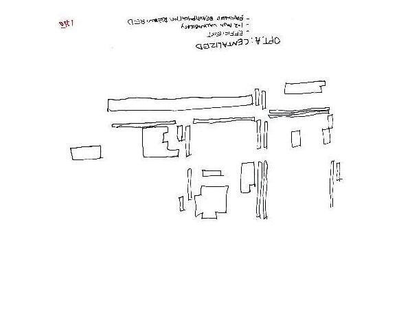
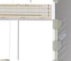
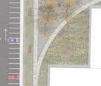
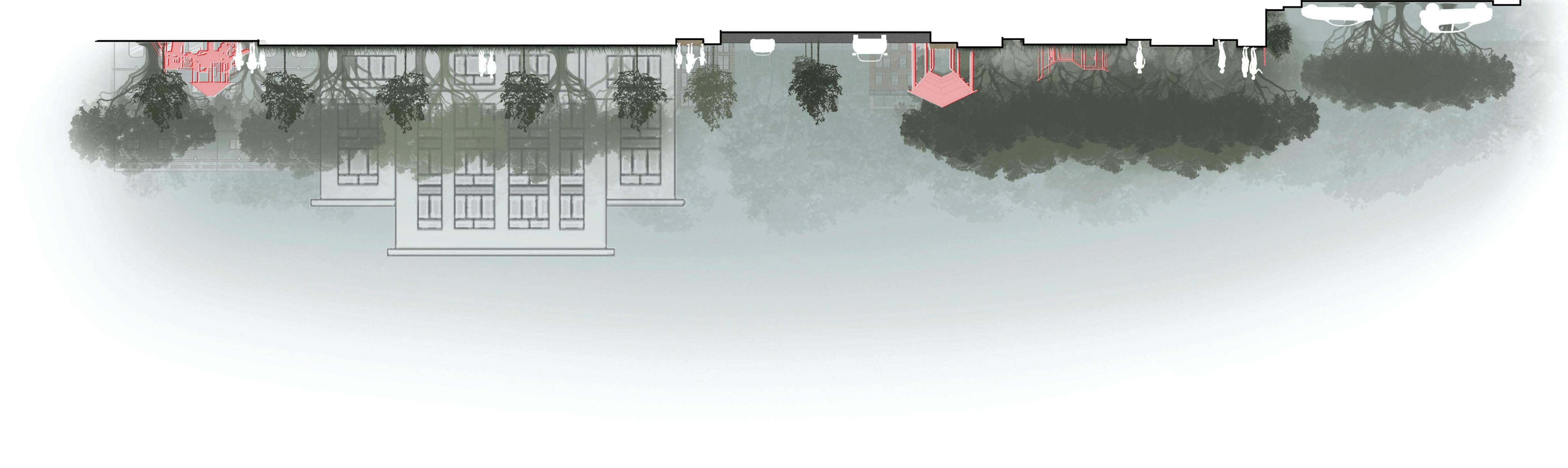
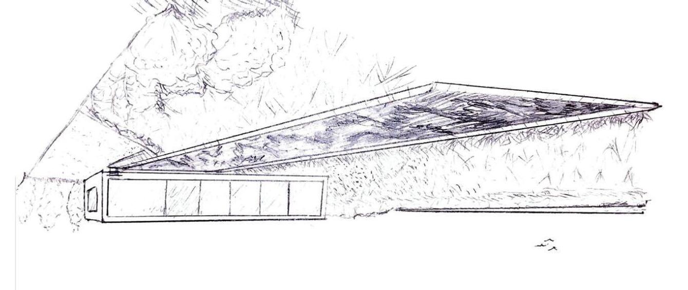
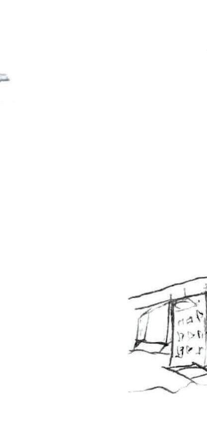
TOP IMAGE: axonometric rendering provides a distinctive perspective of the site, highlighting the relationship between its paths and varying levels
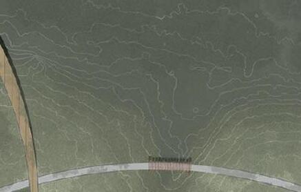
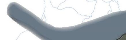
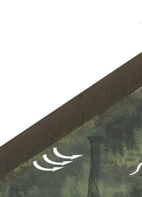
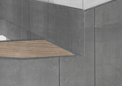
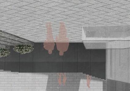
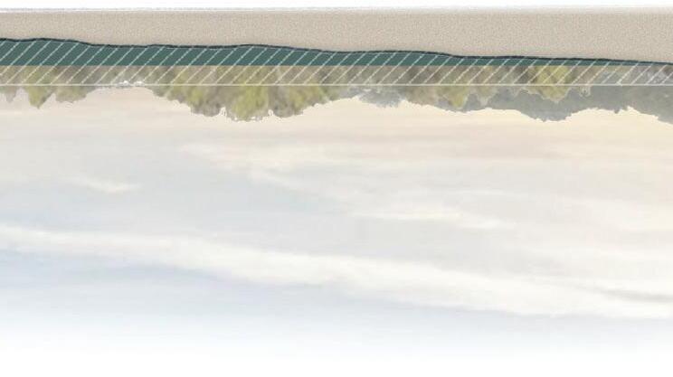
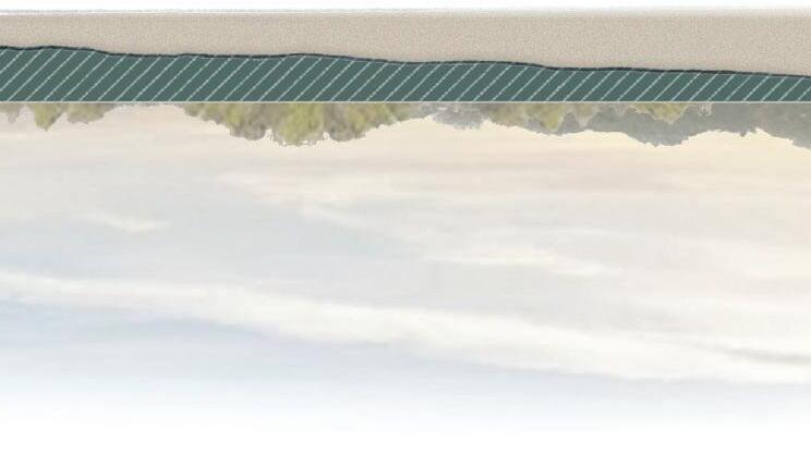
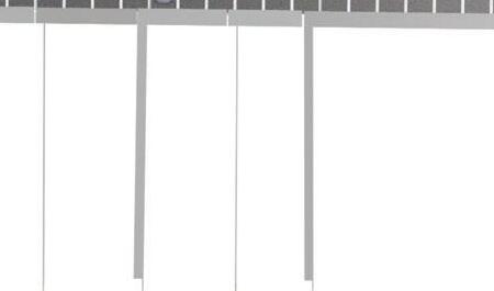
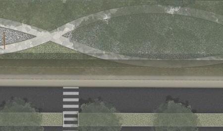
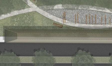
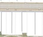
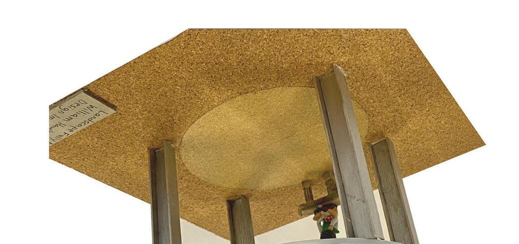
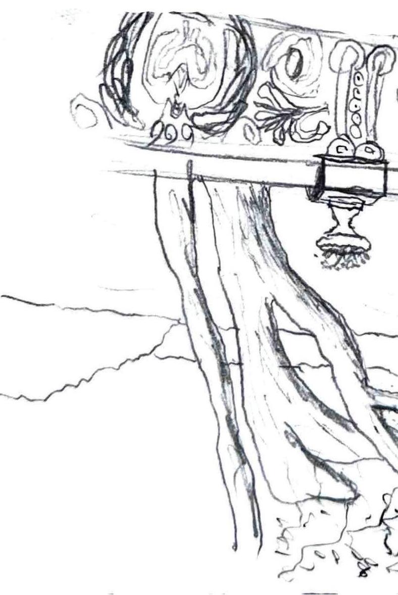
BOTTOM IMAGE: the section of the entrance to the Observable Forest conveys a sense of monumental scale through its structural design and expansive length of the entryway
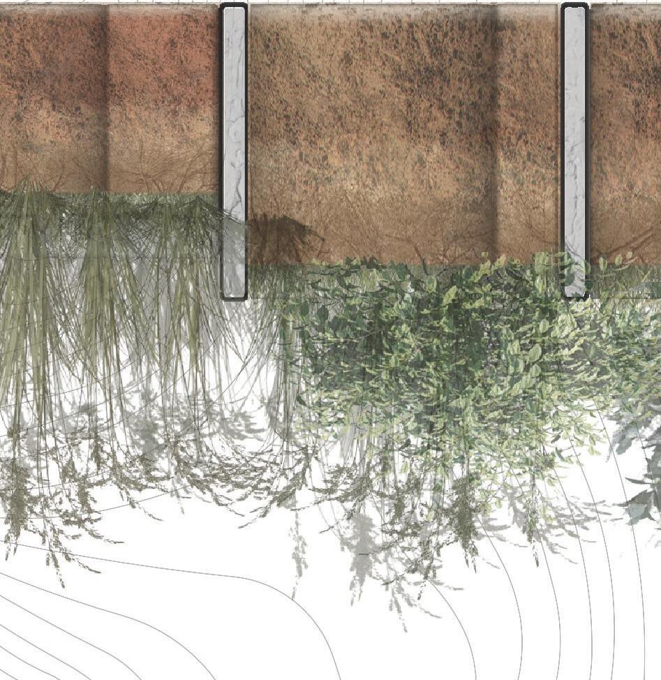
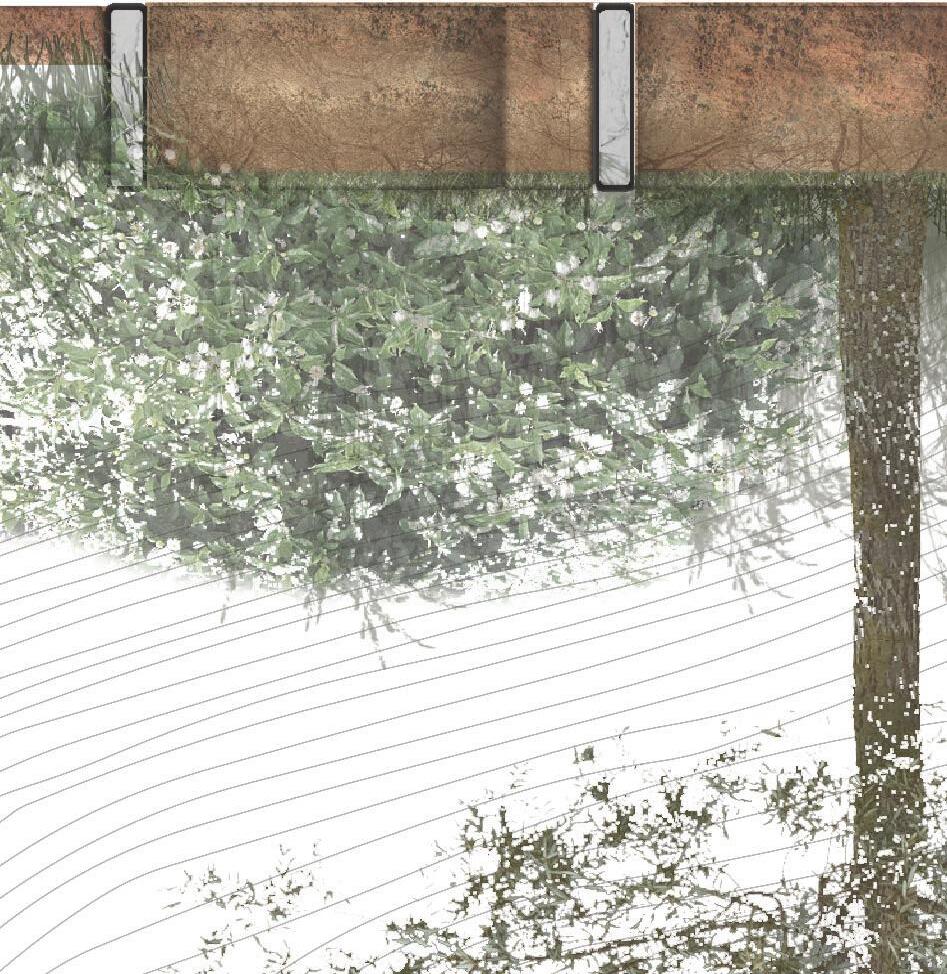
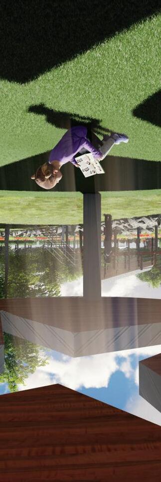
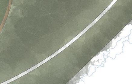
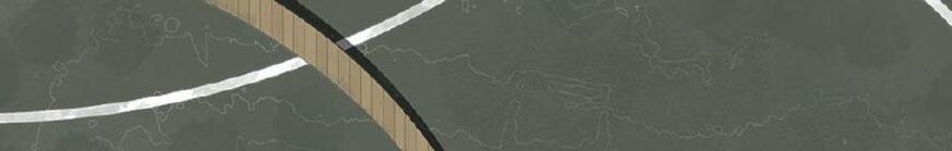
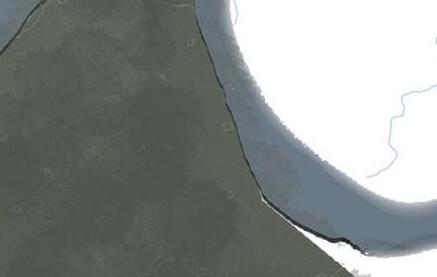
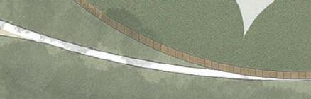
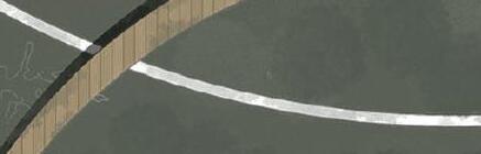
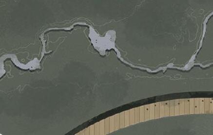
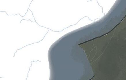
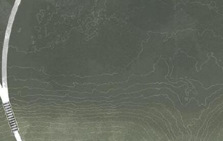
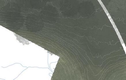
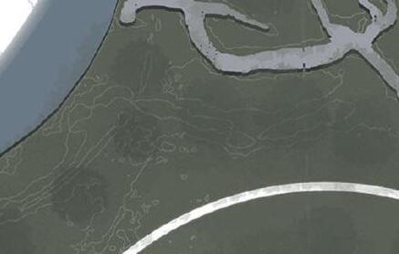
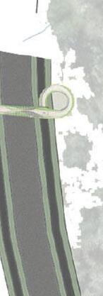
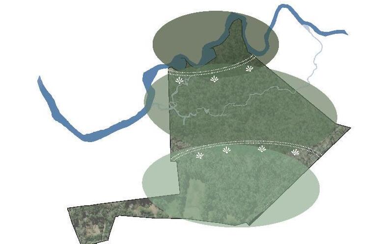
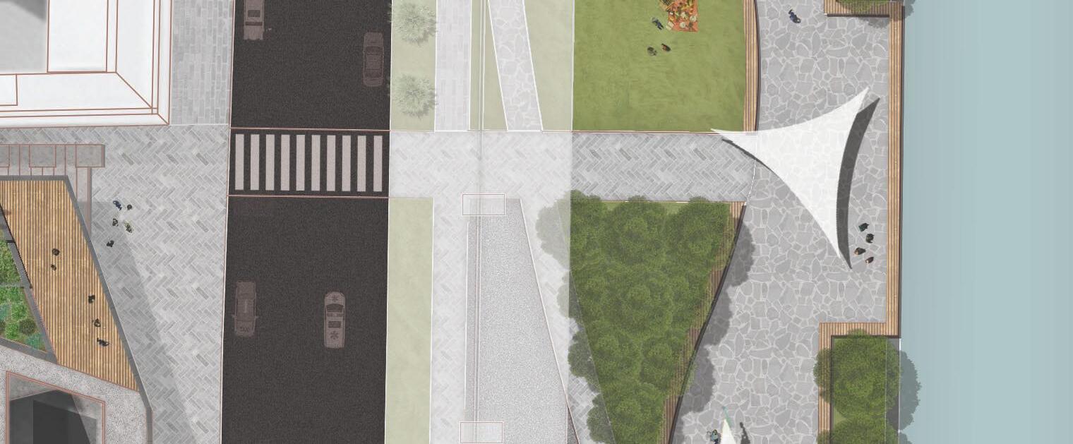
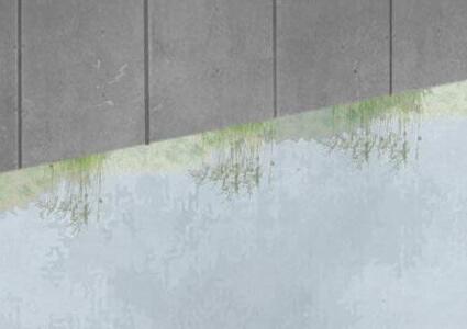
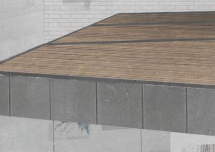
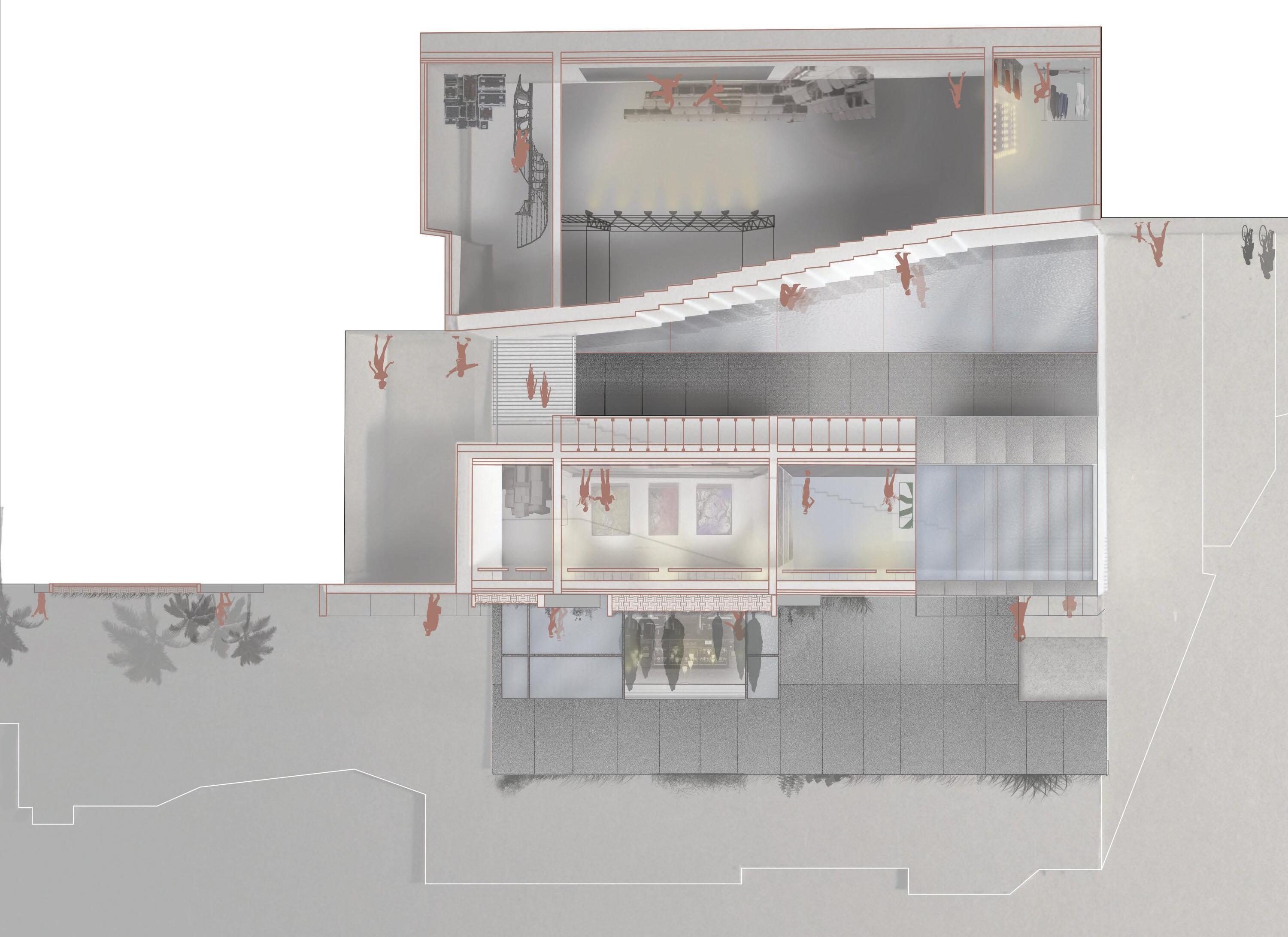
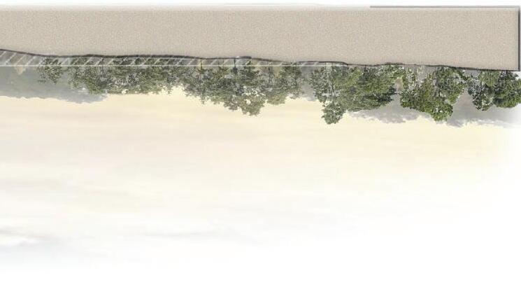
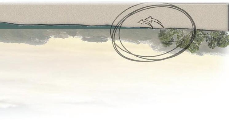
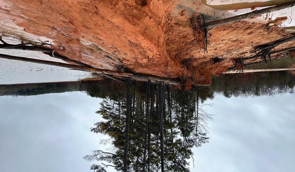
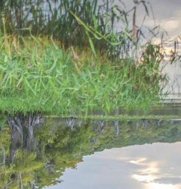
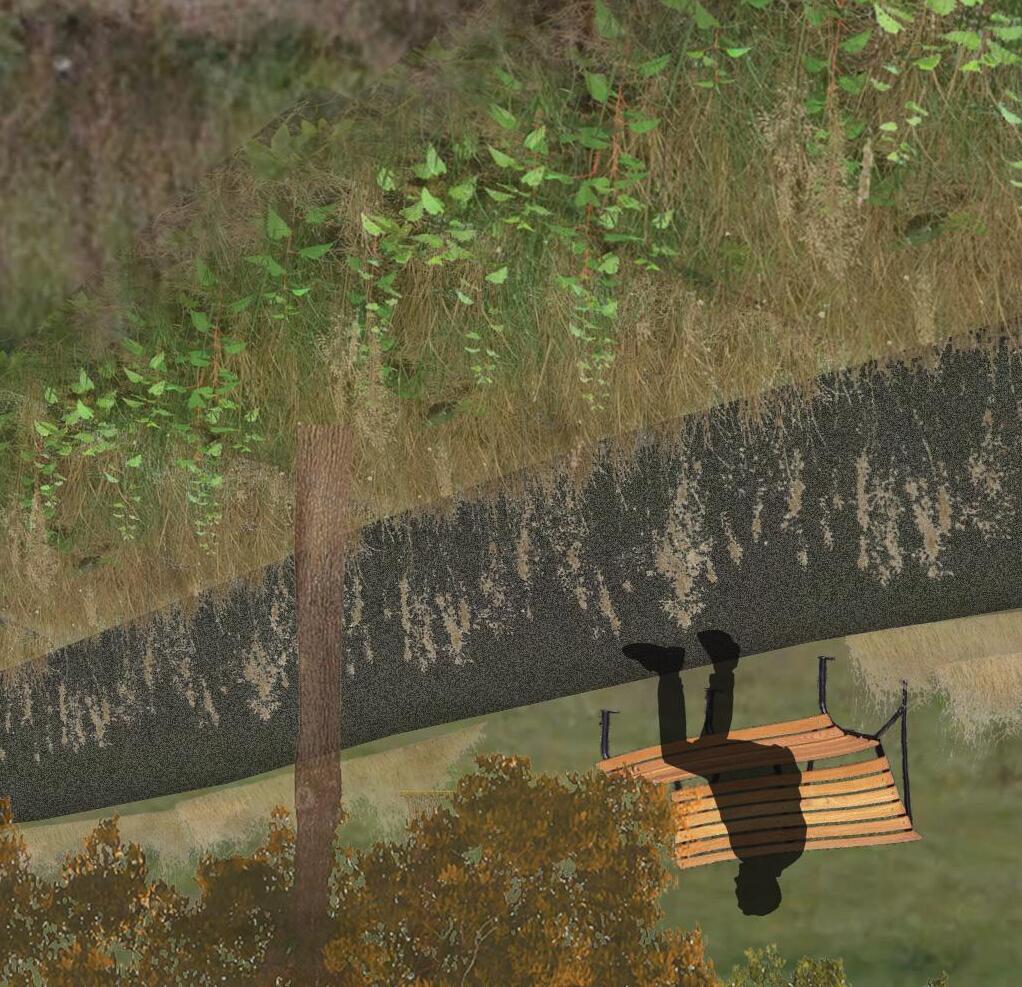
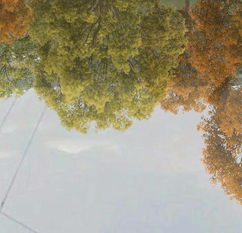
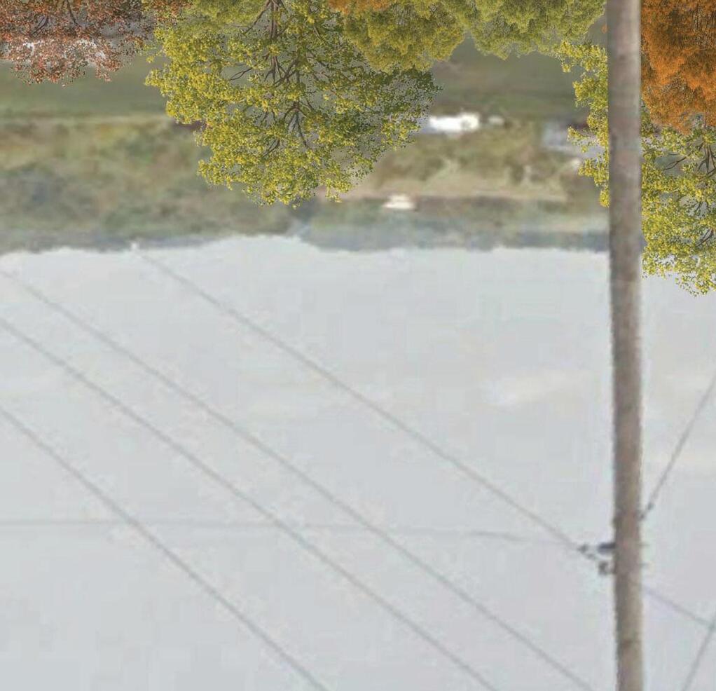
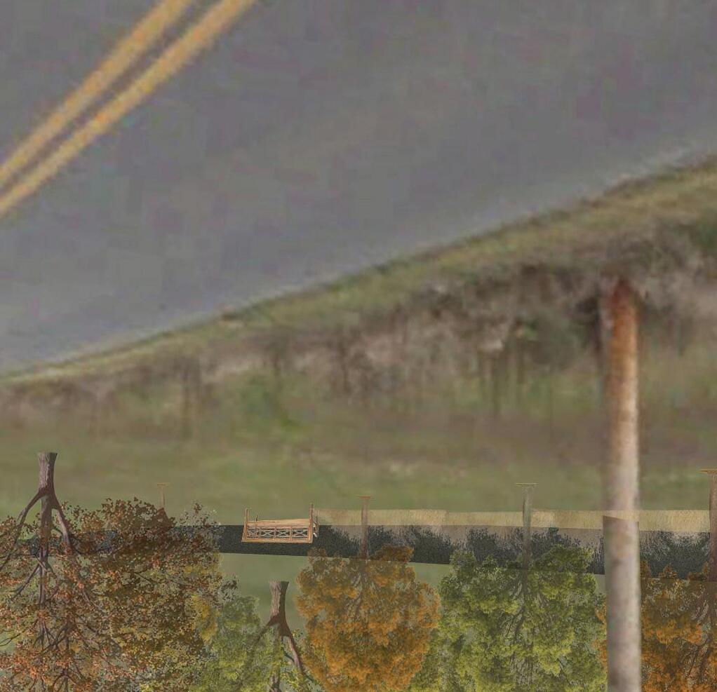
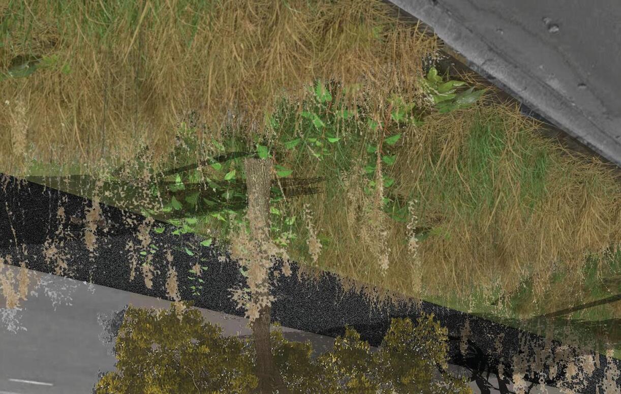
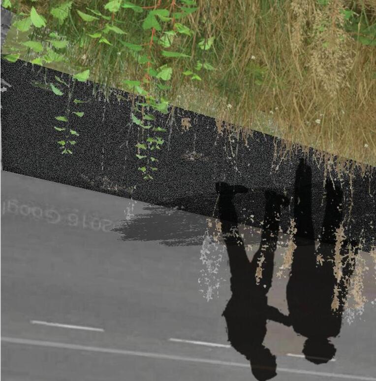
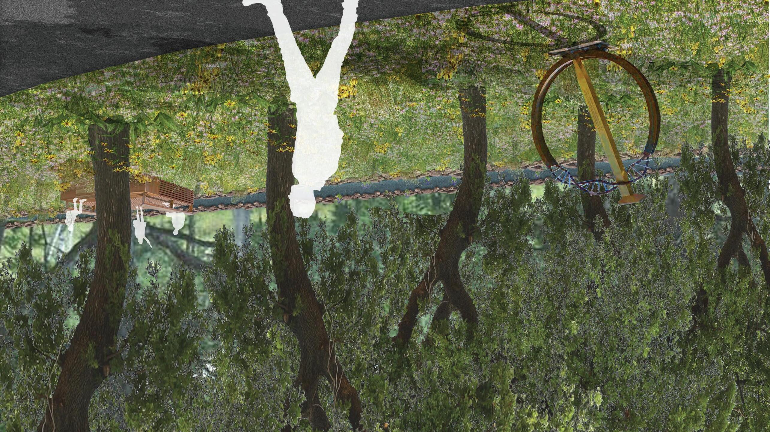
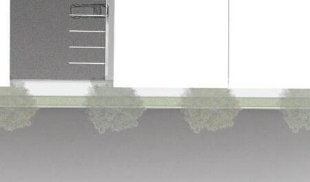
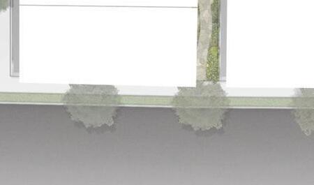
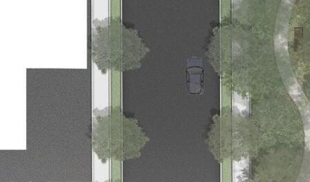
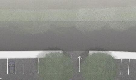
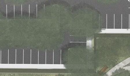
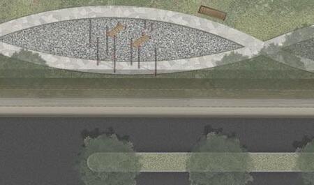
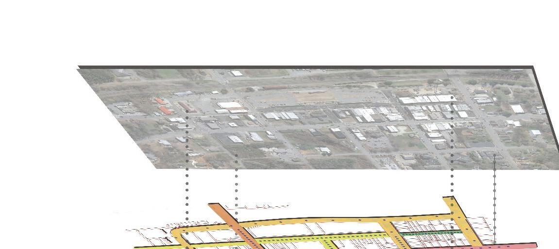
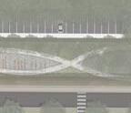
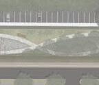
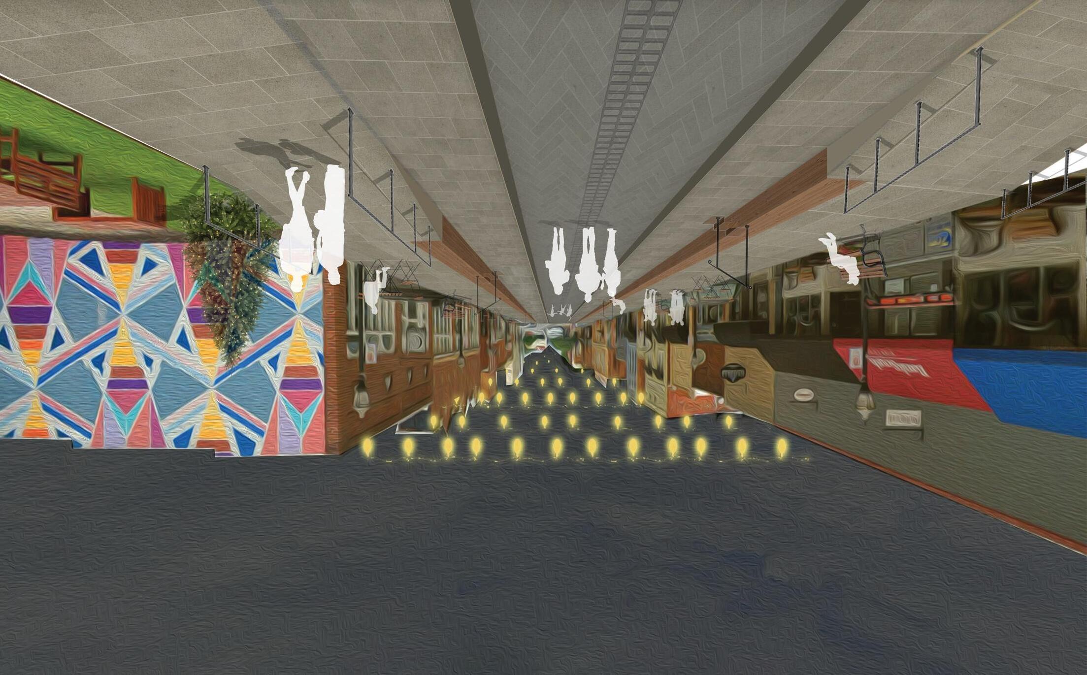
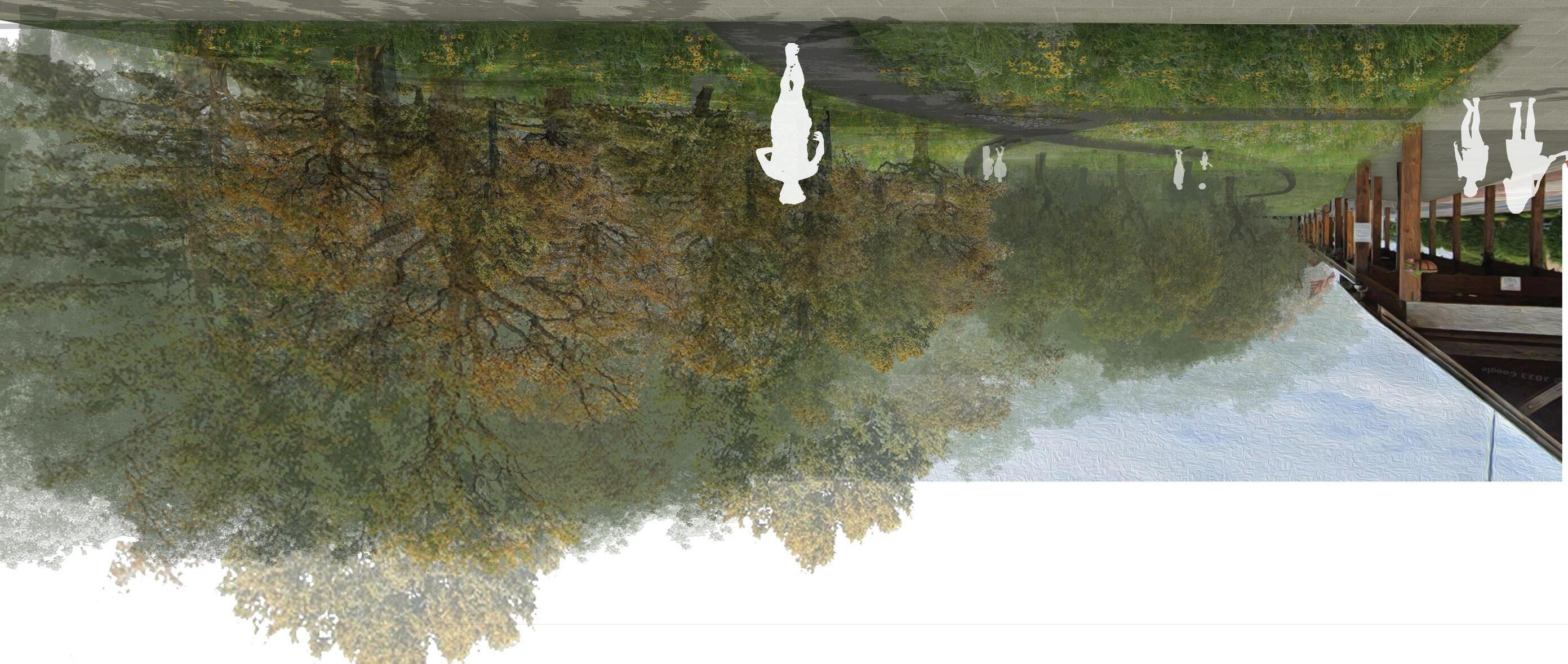
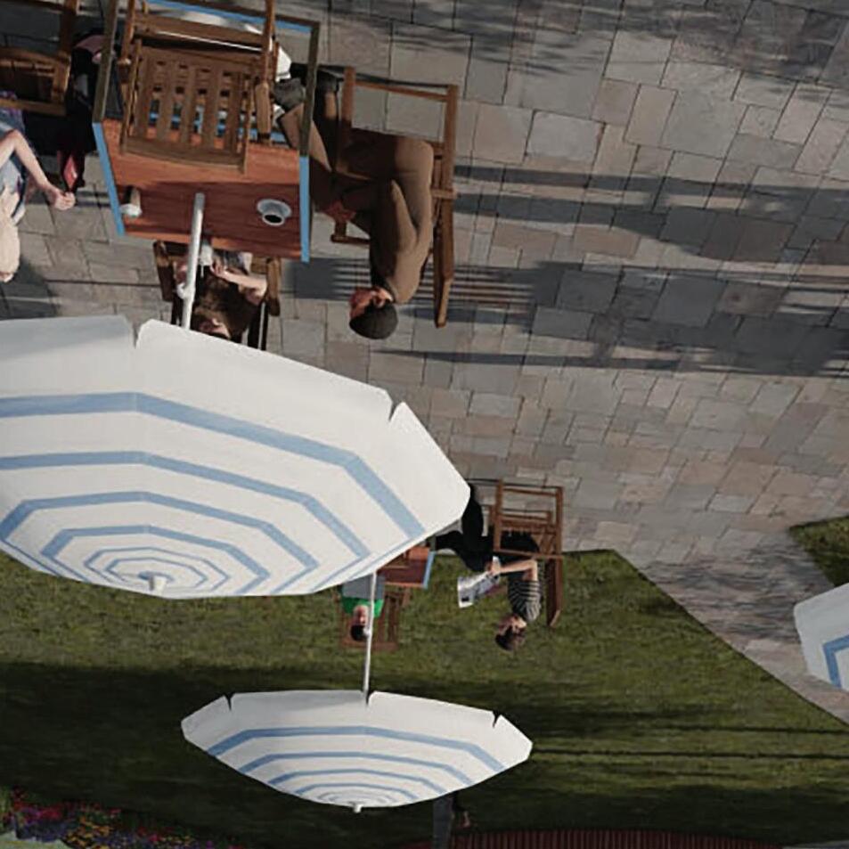
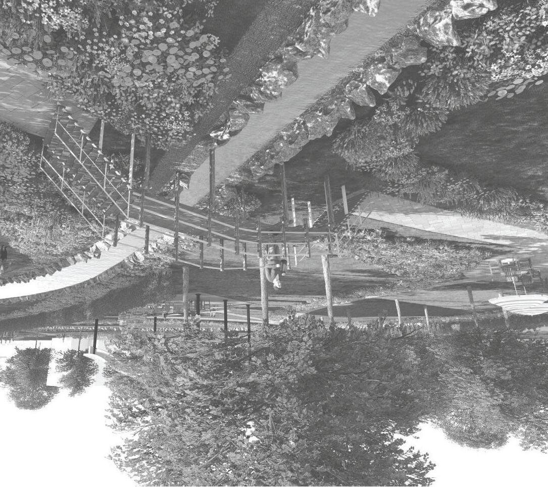
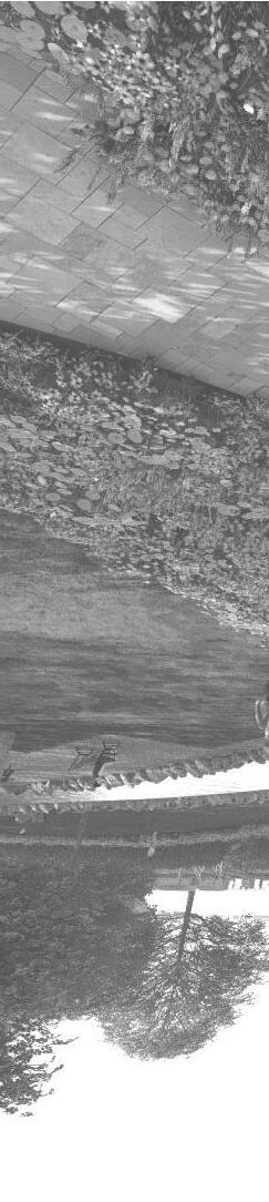
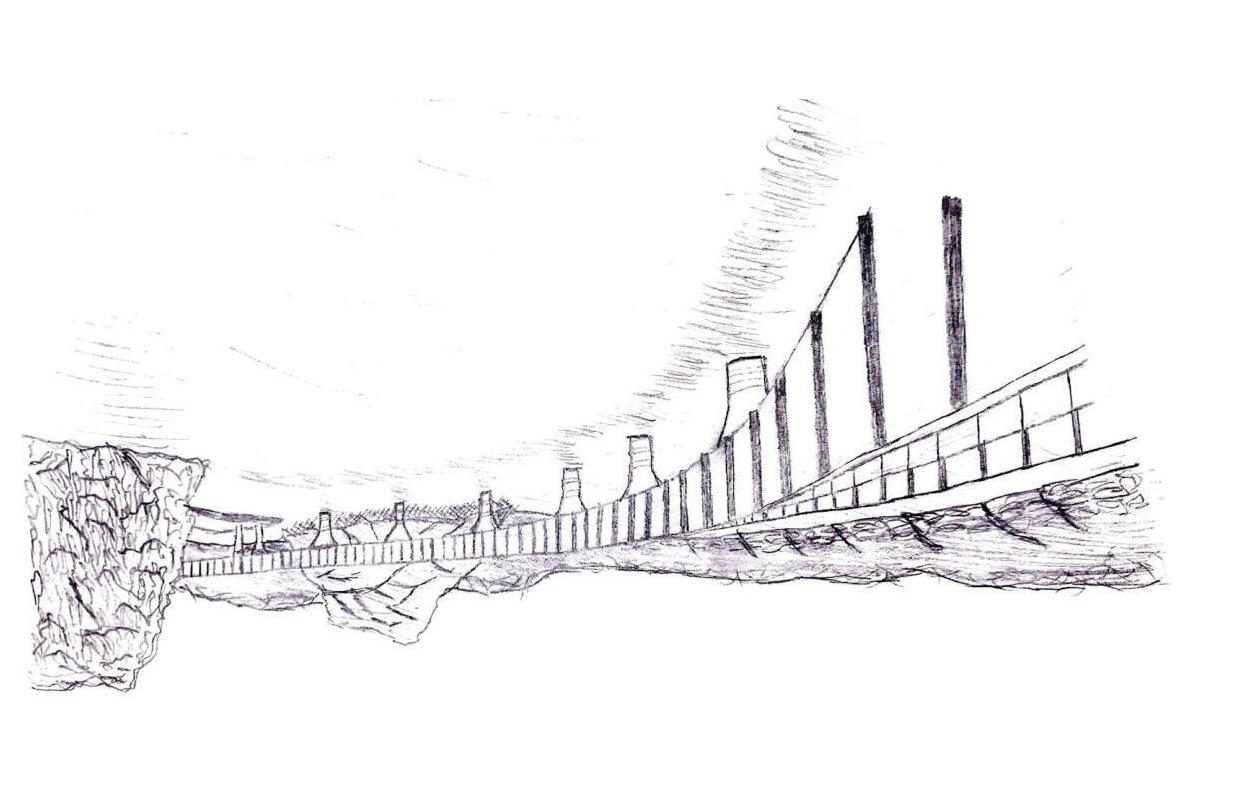
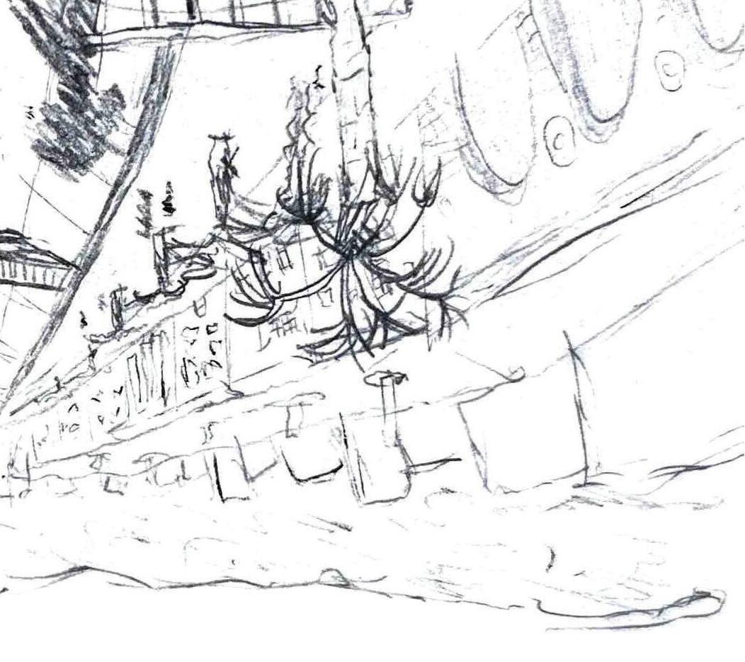
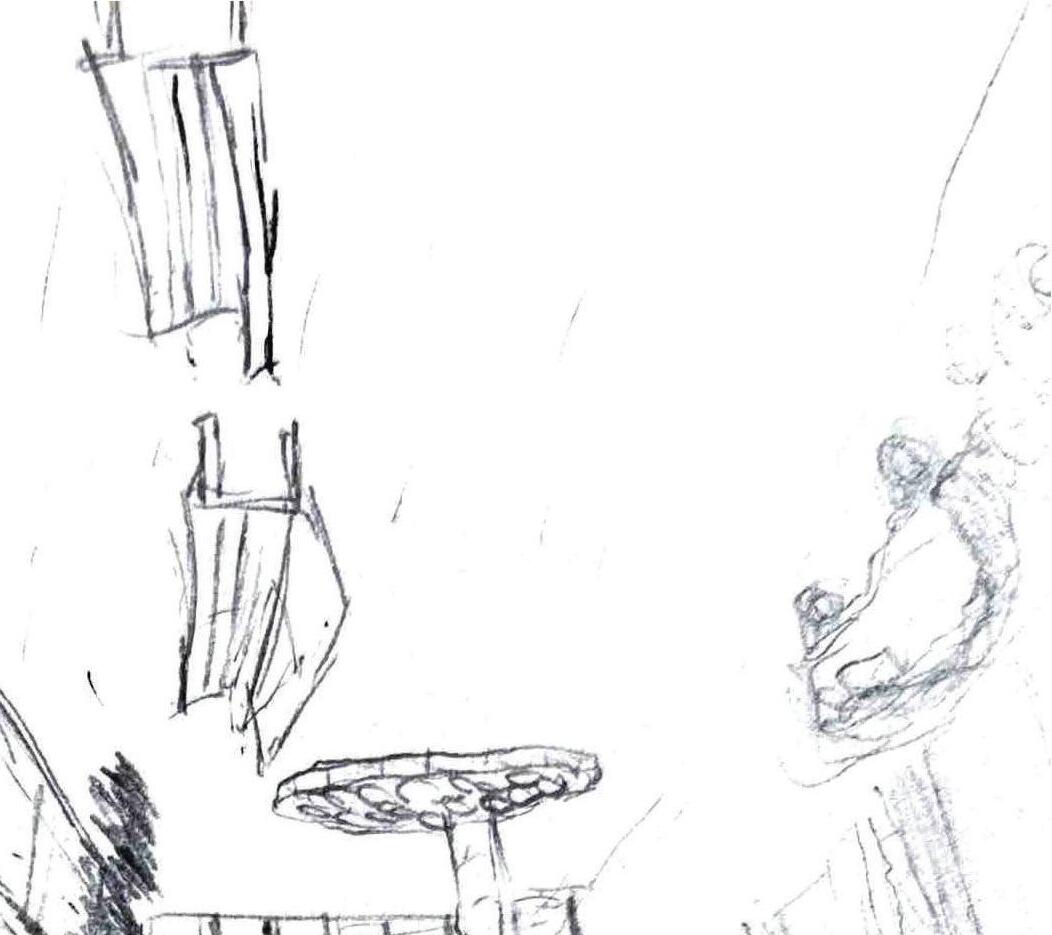
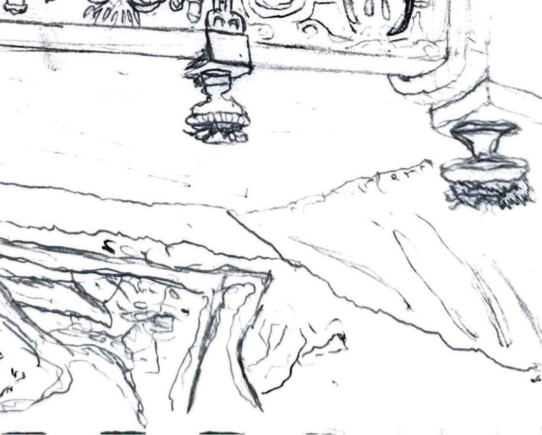
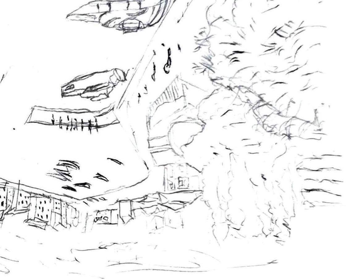
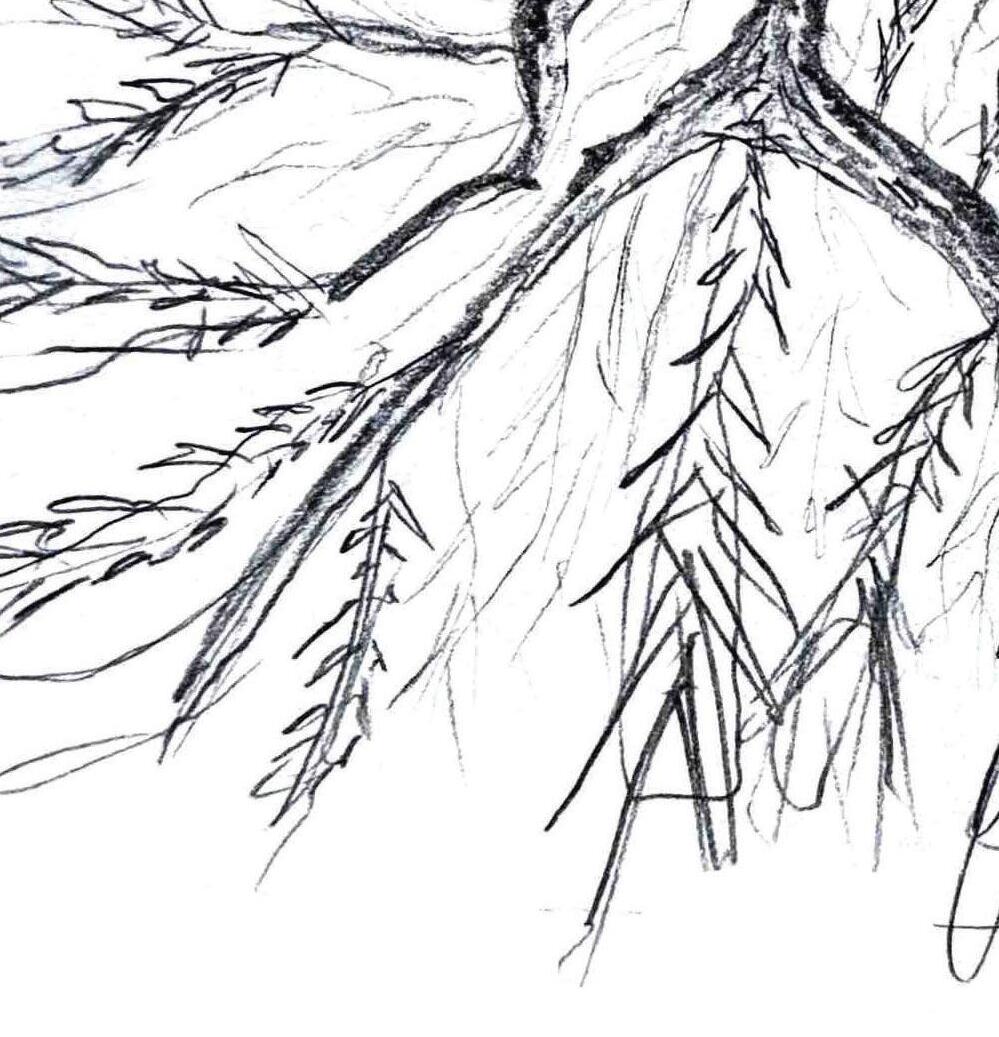
LEFT IMAGE: the Big O boardwalk winds through the tree canopy, with the Bean guiding visitors in between its trestles, offering a unique journey through the heart of the lower wetland ecosystem
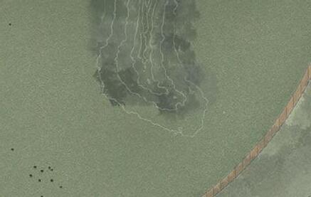
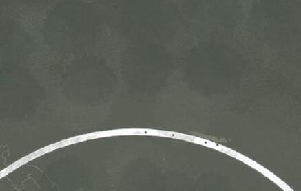
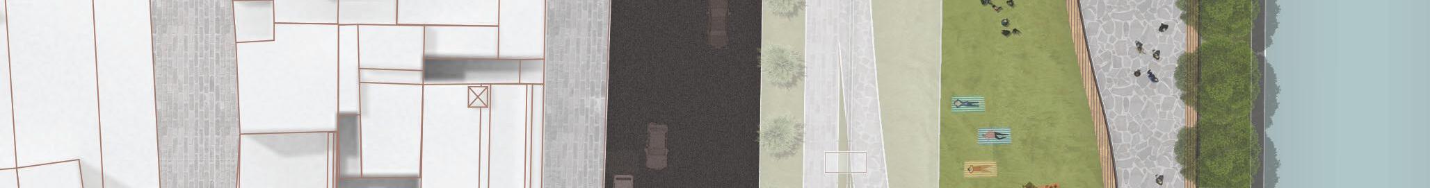
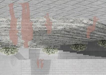
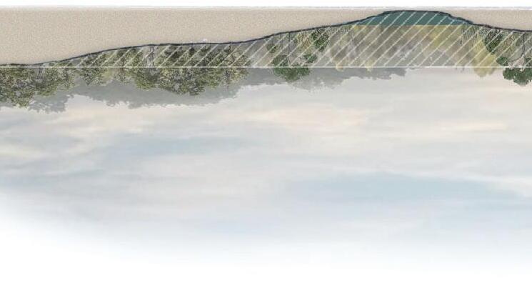
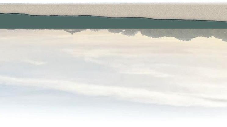
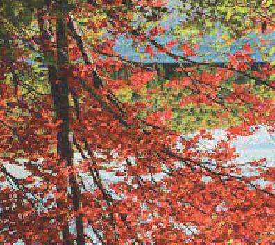
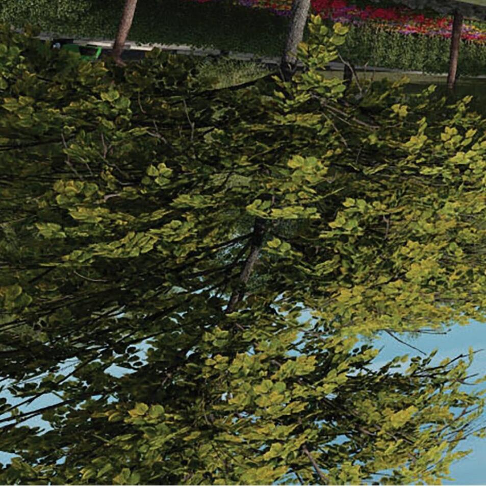
TOP RIGHT IMAGE: abundant wildlife and lush vegetation for visitors to explore and observe on land or by river
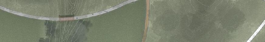
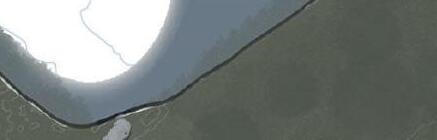
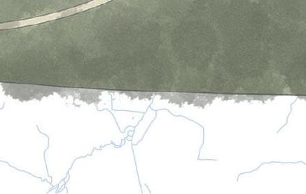
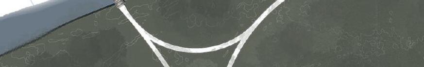
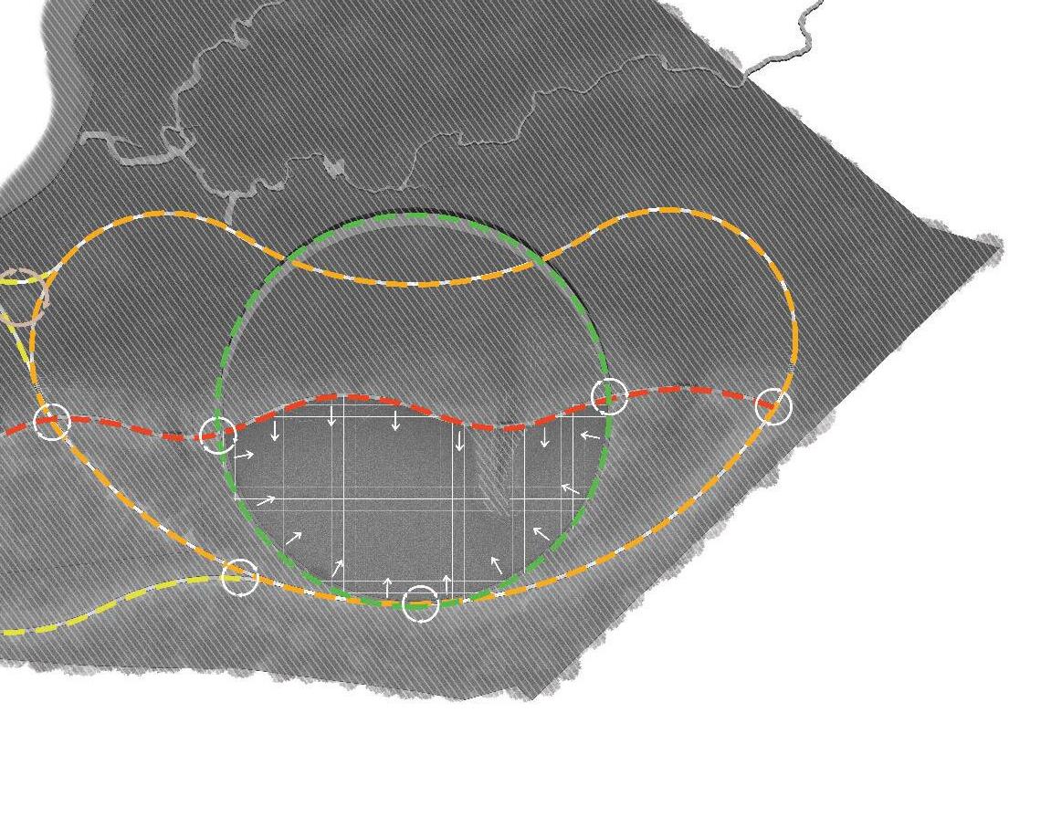
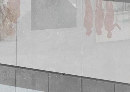
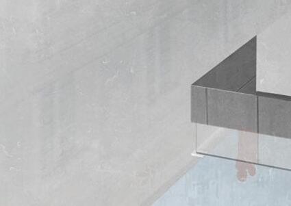
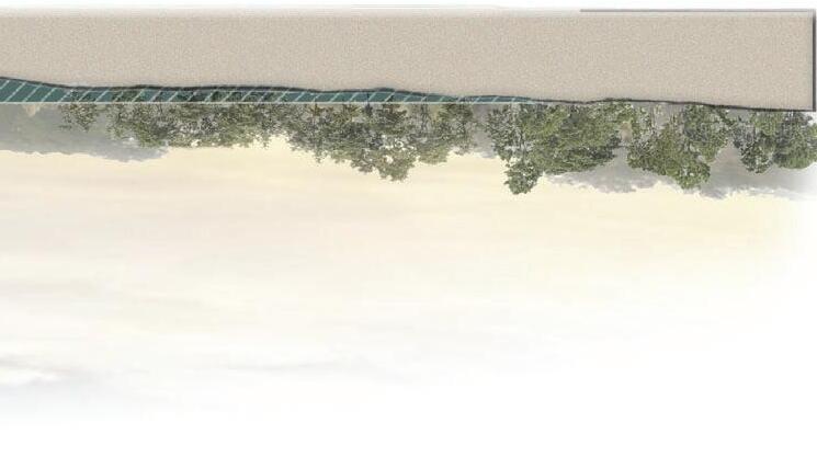
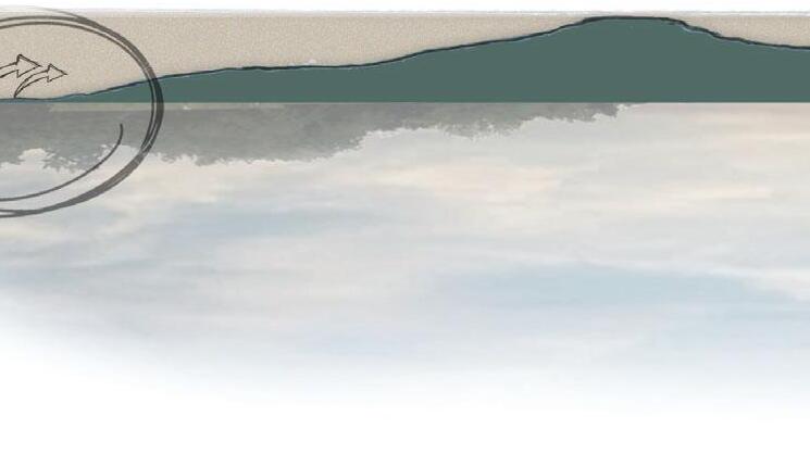
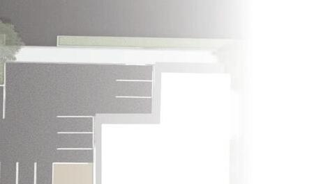
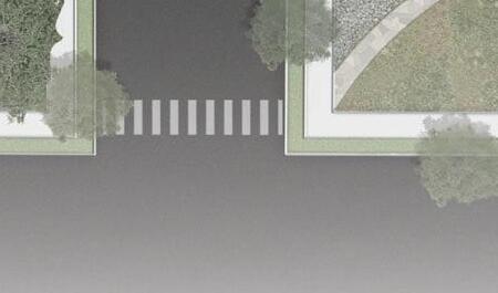
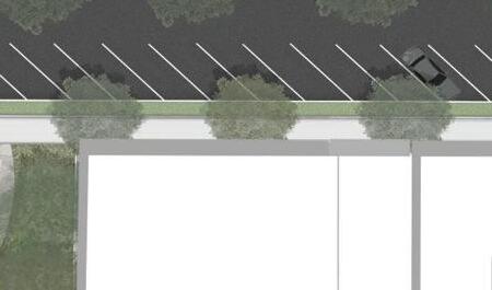
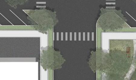
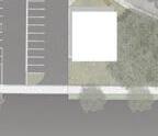
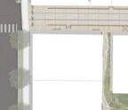
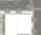
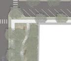
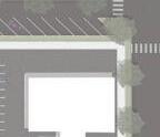
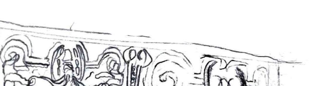
BOTTOM RIGHT IMAGE: grand pedestrian entrance directs visitors into the site, leading them past a newly installed
CULTURAL EXCHANGE IN A FAR AWAY PLACE
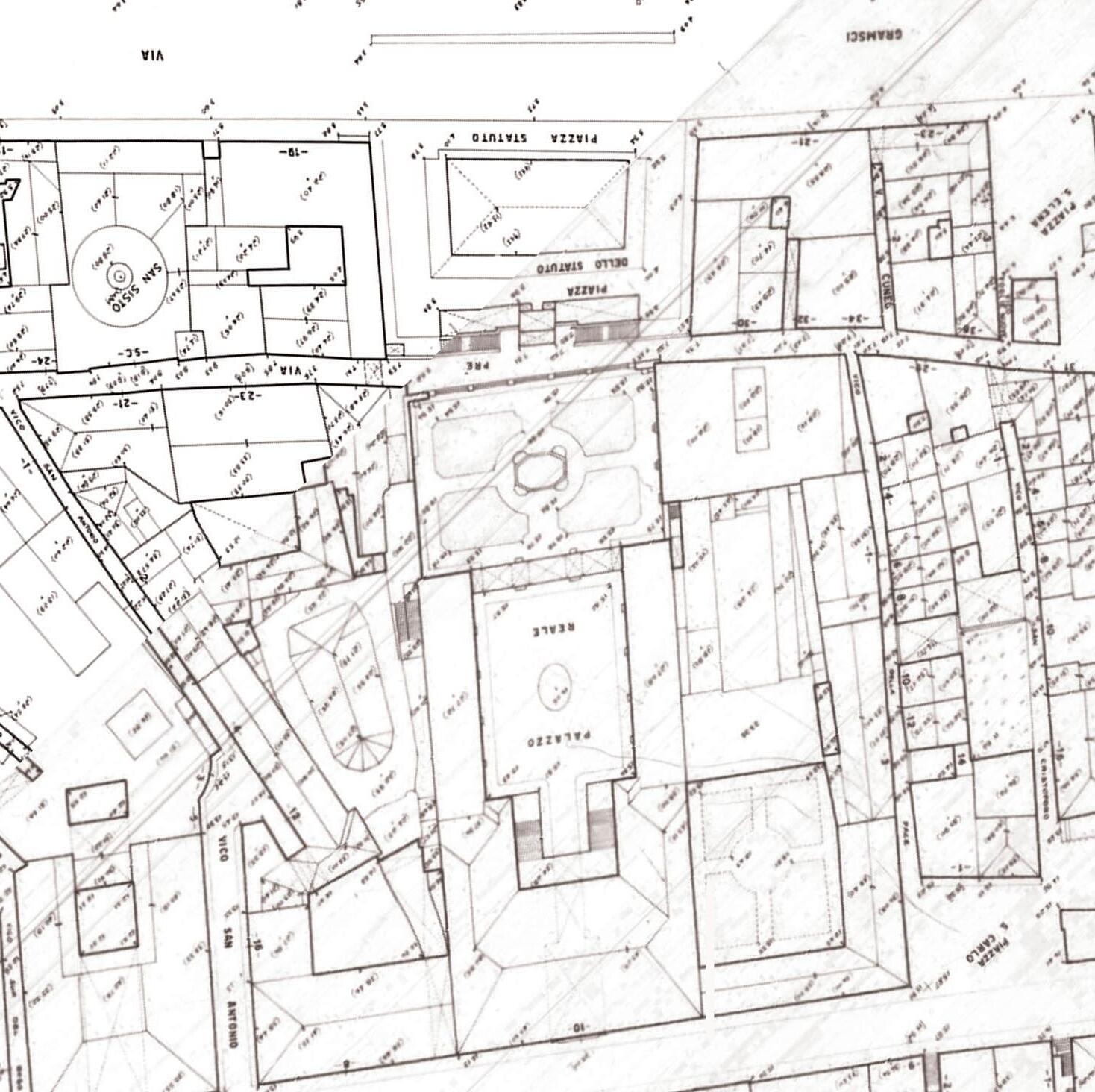
GENOA, ITALY
Design Team: Julia Sansbury, Sean Morris, Kelsey Murphy
PROJECT BACKGROUND
During our third year at Clemson University, we traveled to Genoa, Italy, to explore the intersection of architecture and landscape architecture, focusing on the cultural significance of place. In teams of four, we analyzed piazzas and public spaces to guide our design.
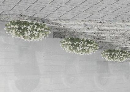
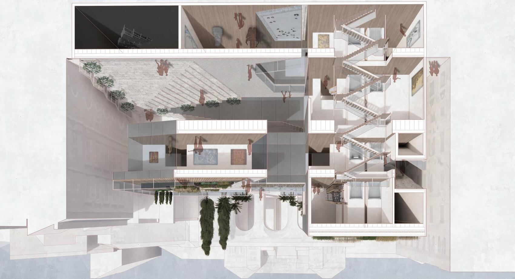
Our proposal features a cantilevered exhibition space for music and art, offering a dynamic experience with a sub-level exhibit and black-box theater, as well as a second-floor main exhibition area. The third floor includes an open-air café and rooftop garden with panoramic port views, connecting to the Palazzo Reale di Genova. A green roof helps manage stormwater and regulate the buildingʼs climate.
Across from the Port of Genoa, a public greenspace encourages outdoor activity and community engagement, complementing the design with similar plantings and materials to create a cohesive environment.
The site section extends from the Palazzo Reale di Genova to the Port of Genoa, offering a comprehensive view of the various programmed spaces and levels. It enhances the understanding of circulation and connectivity across the entire site, showcasing how the different areas are integrated and interconnected.
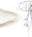
LAKE HARTWELL NATURALIZATION
SOUTH CAROLINA
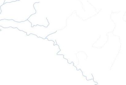
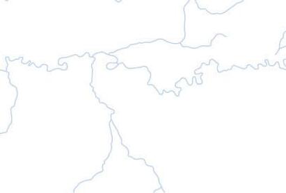
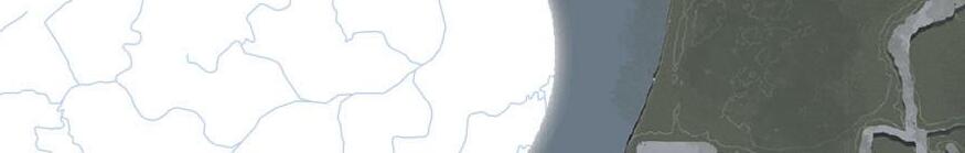
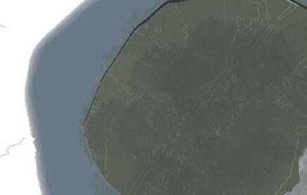
LAKE HARTWELL FORMATION
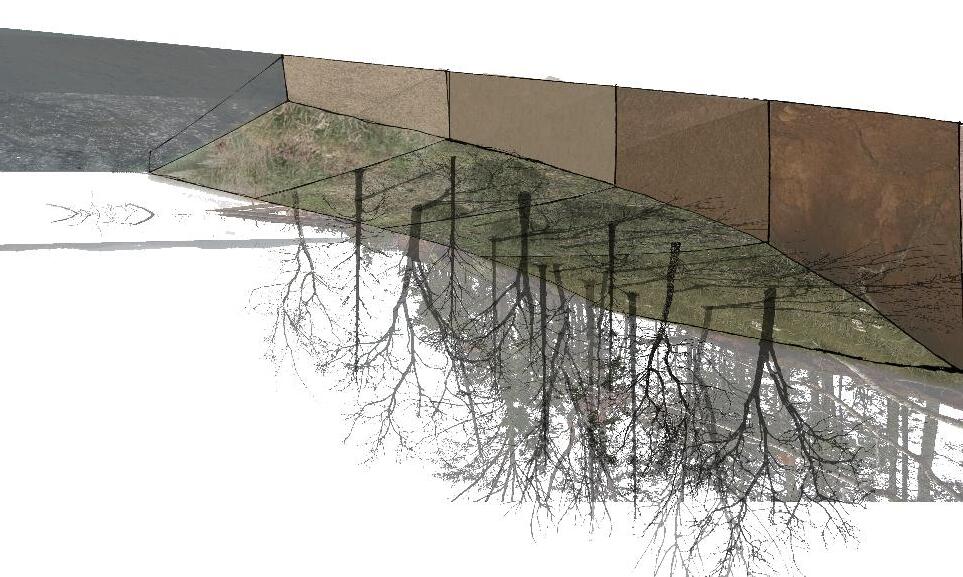
Project Background
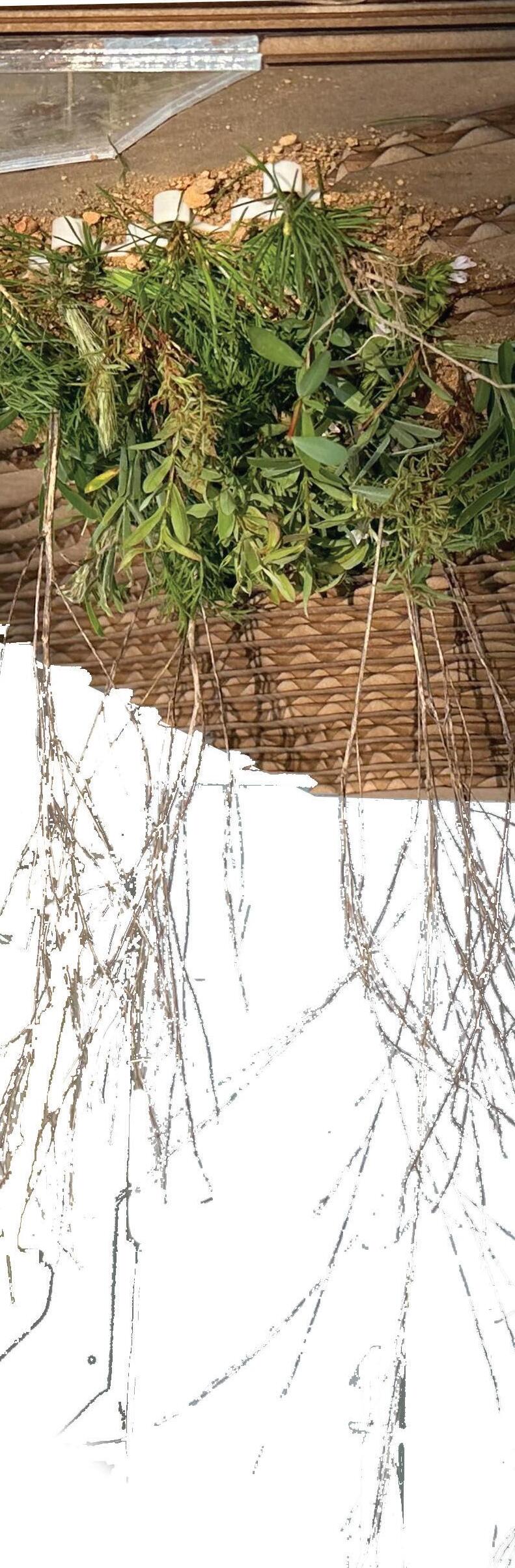
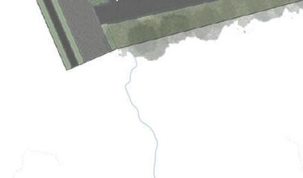
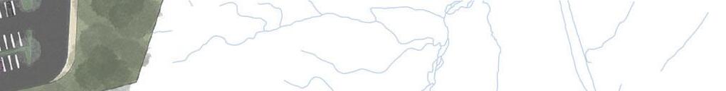
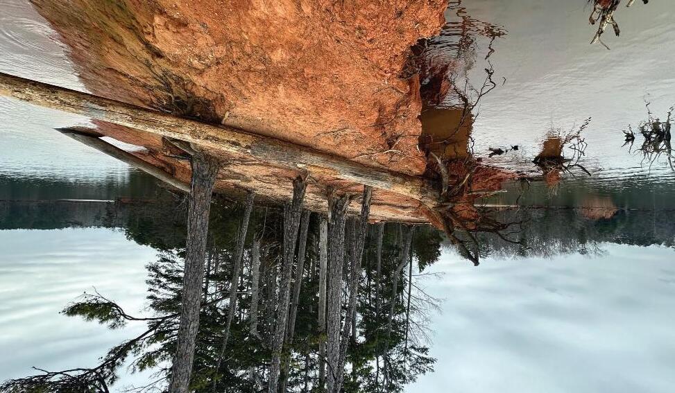
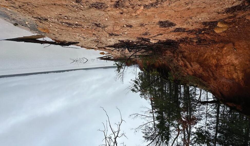
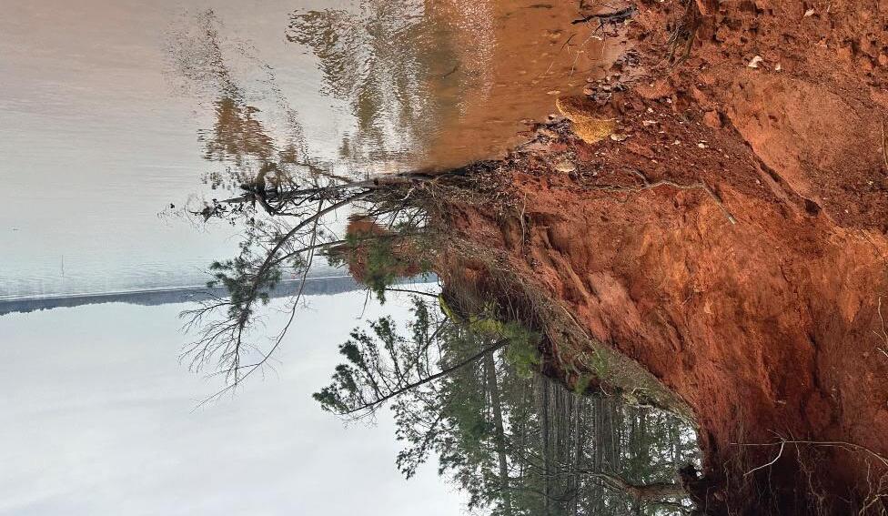
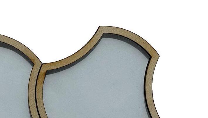
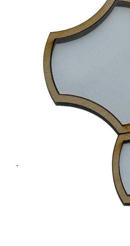
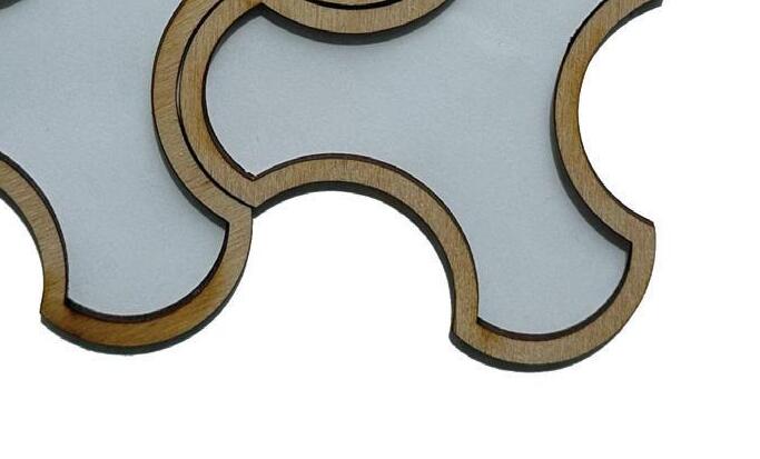
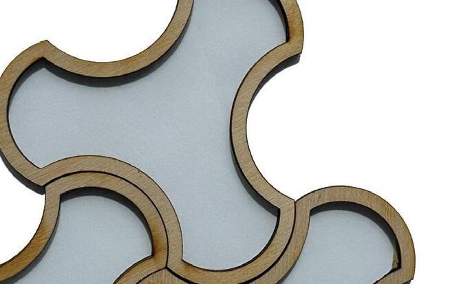
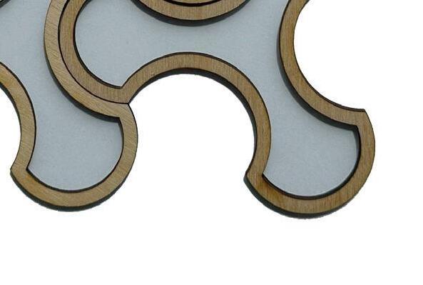
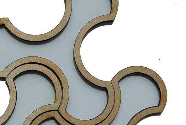
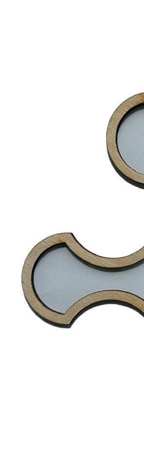
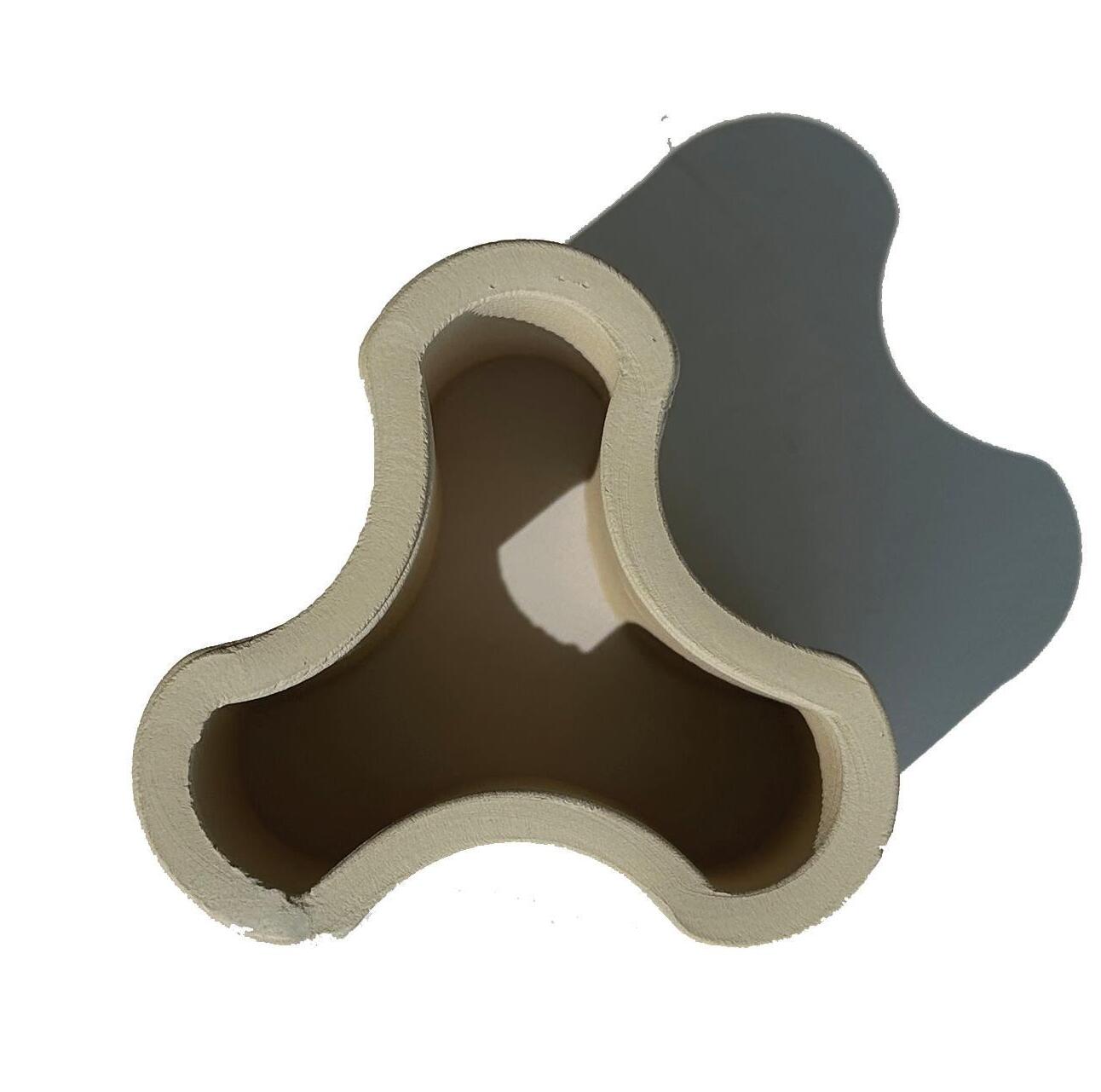
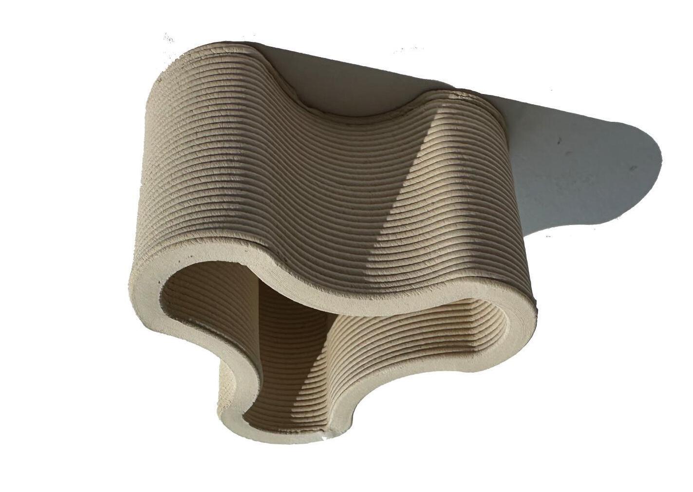
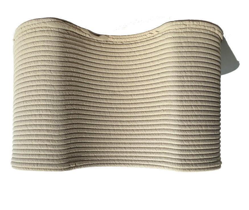
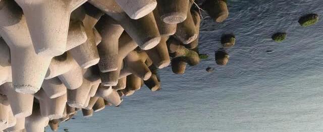
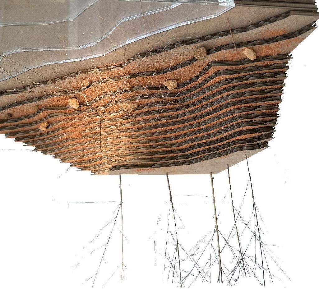
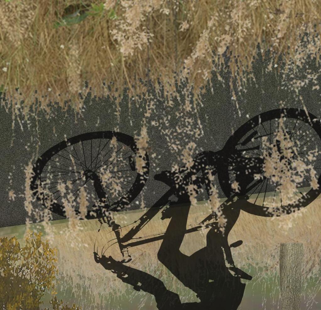
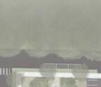
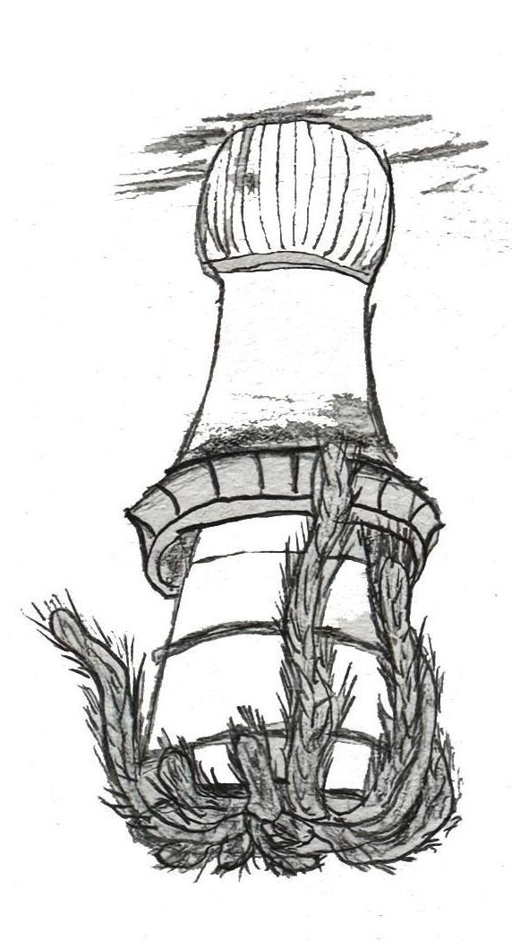
For my Landscape Architecture capstone project, I focused on addressing lake edge erosion, a common issue in man-made lakes, especially as development encroaches. Through research and field observation, I developed a system and prototype aimed at both mitigating erosion and creating a naturalized riparian edge.
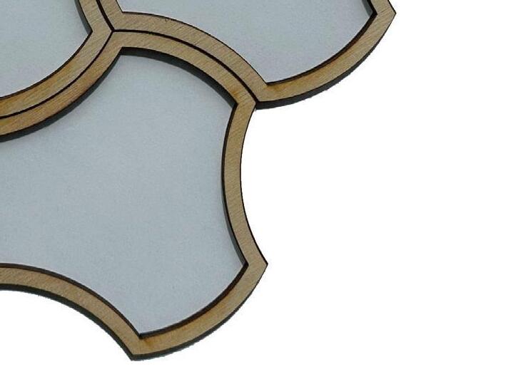
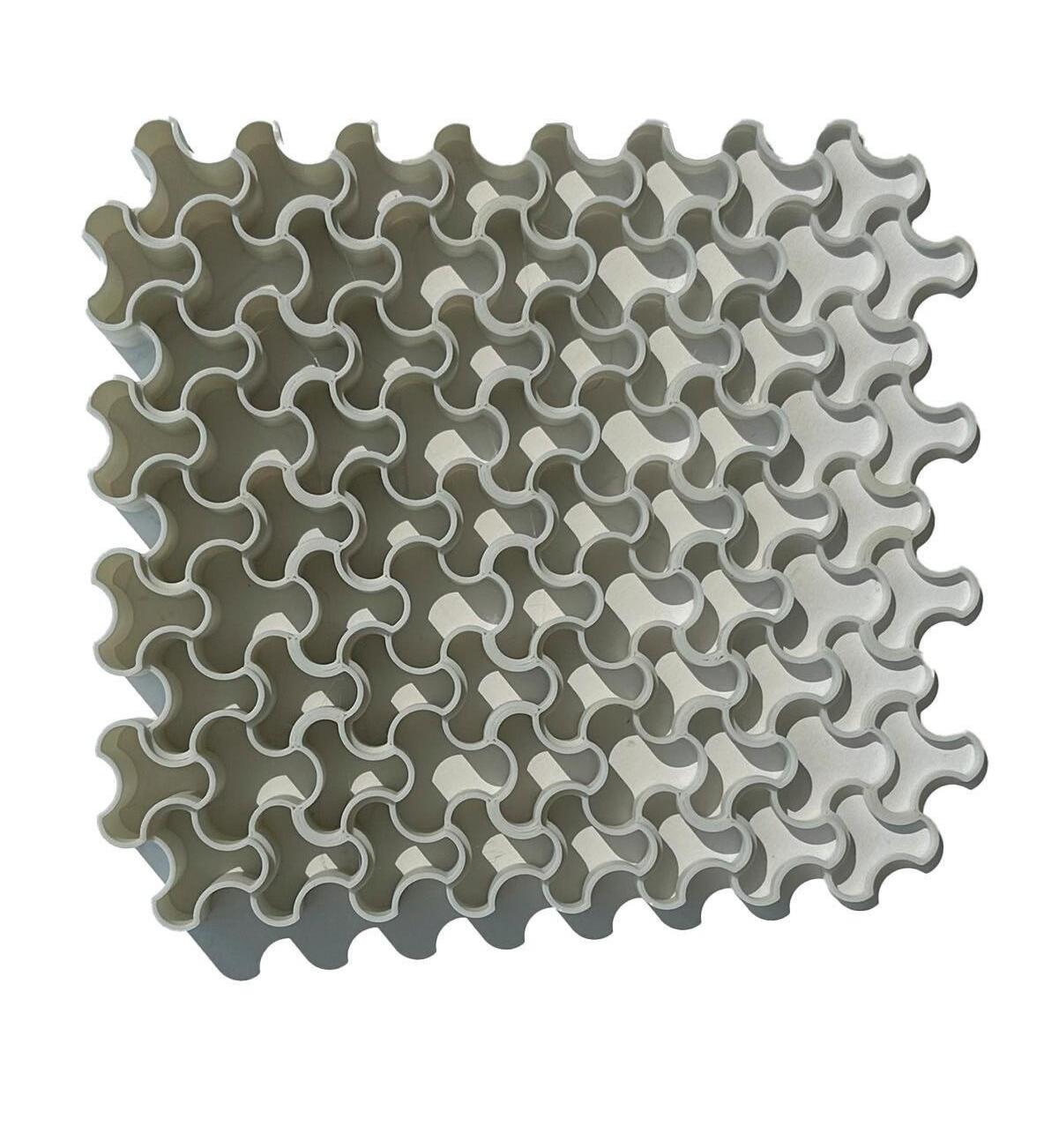
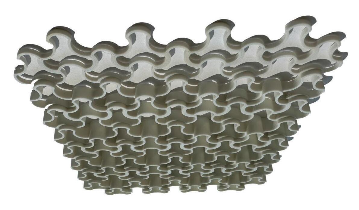
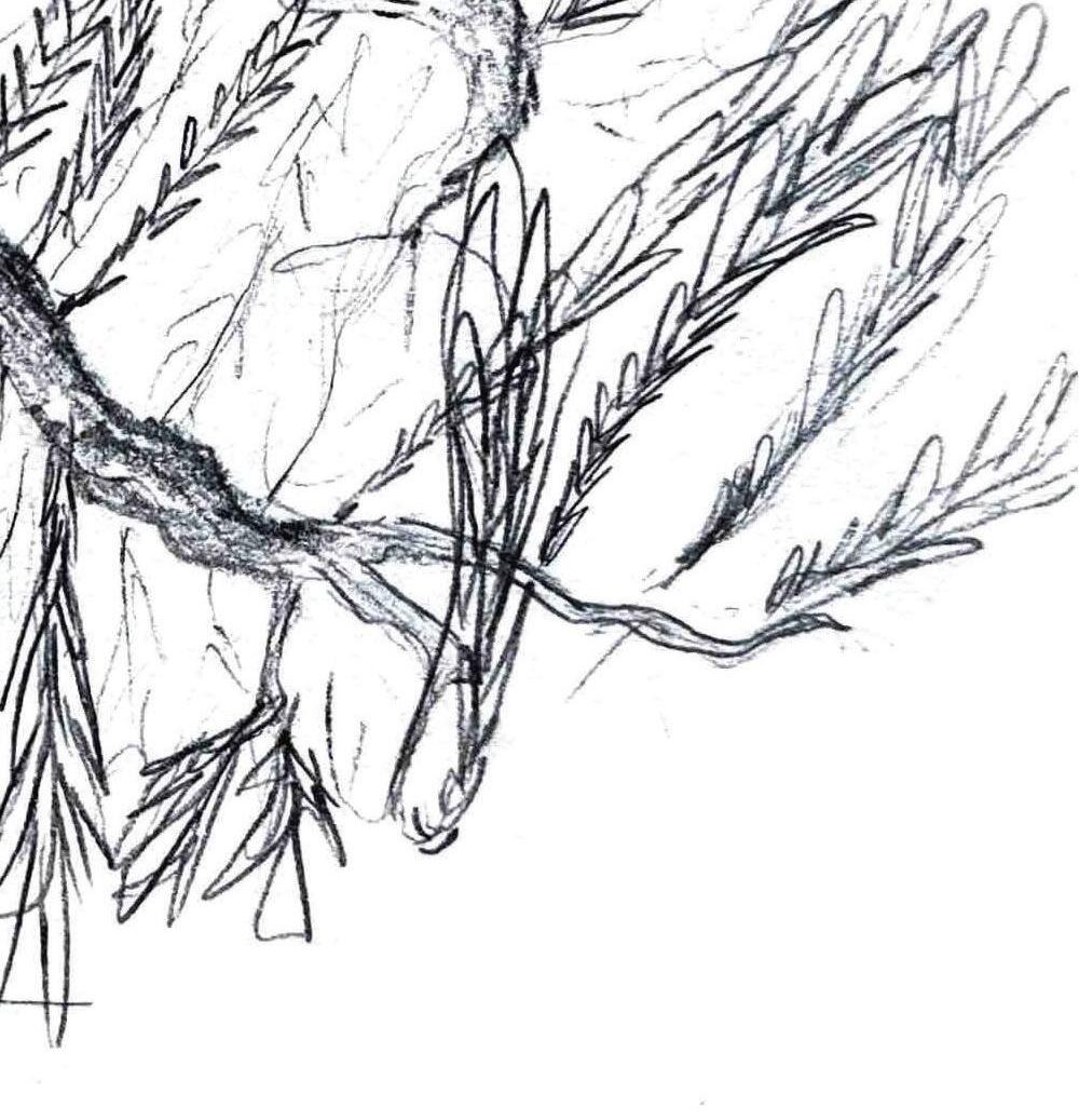
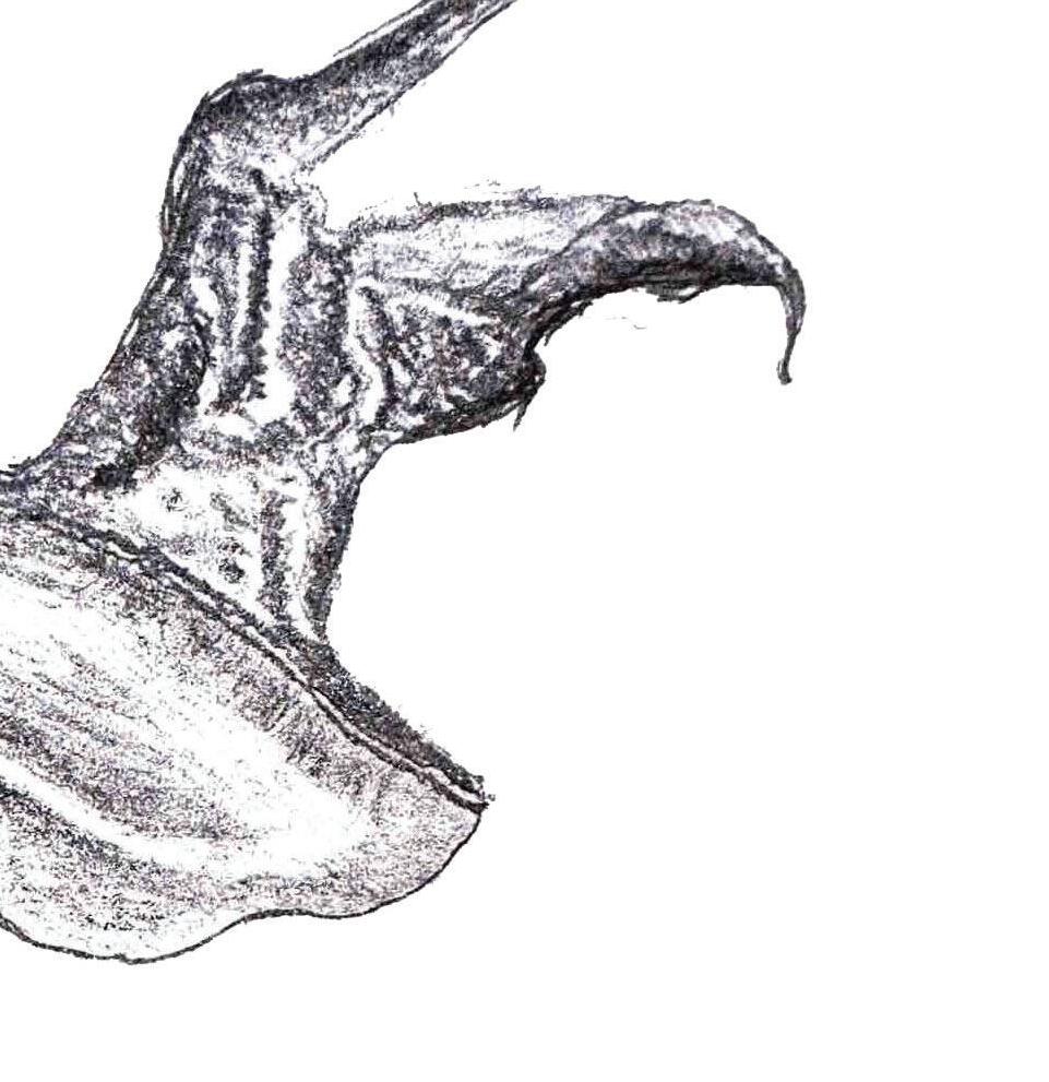
My design combined shape exploration, tessellation, material experimentation, and a review of existing methods. The biostabilizer prototype used biodegradable materials, designed to decompose as plant roots strengthened, eventually fostering a selfsustaining ecosystem.
While the project was not fully completed, it earned me the Faculty Book Undergraduate Award, given annually to a graduating student for exceptional achievement in their capstone project.
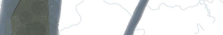
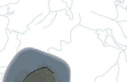
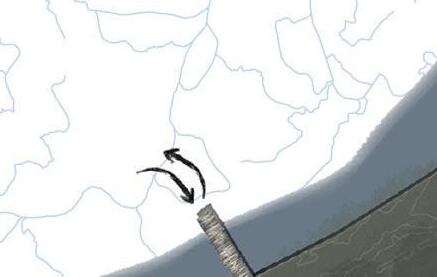
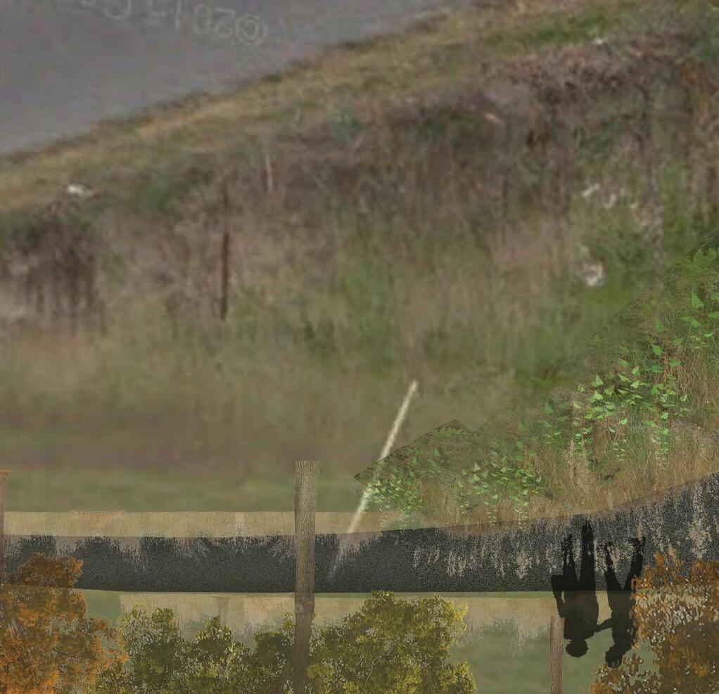
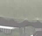
Riparian Edge Destruction Seneca River Flooded
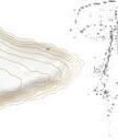
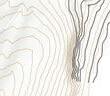
WATER LEVEL FLUCTUATION STUDY
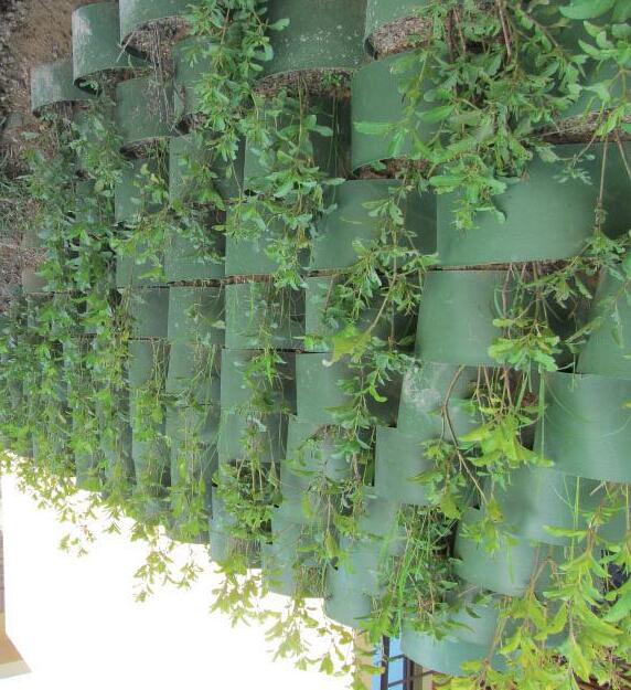
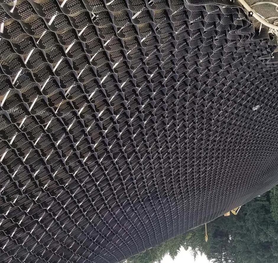
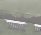
The process began with the exploration and refinement of the prototypeʼs cell shape, focusing on achieving an optimal balance of durability, volume, and tessellation capability. This was followed by material experimentation, assessing the stability of various resources, including clay and small quantities of plaster as potential additives. The final stage involved synthesis, where individual cells were 3D-printed to evaluate the ease of fabrication and to determine whether the prototype could be adapted for different environmental conditions.
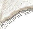
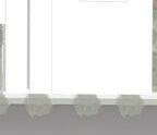
BIOSTABILIZER FULL GROWTH
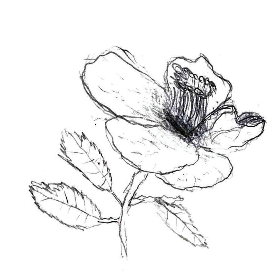
Once fully established, the tiered biostabilizer, which replicates the natural lake edge, would become redundant if implemented properly. It would gradually deteriorate as the root systems of grasses, low vegetation, and trees take hold, allowing for a self-sustaining, naturalized shoreline.
RedMaple Acerrubrum
River Birch Betulanegra
Summersweet Clethraalnifolio
Switchgrass Panicum virgatum
BaldCypress Taxodium distichium
OvercupOak Quercus lyrata
ButtonBush Cephalanthus occidentalis
Maidencane Panicumhemitomon
WaterWillow Justiciaamericana
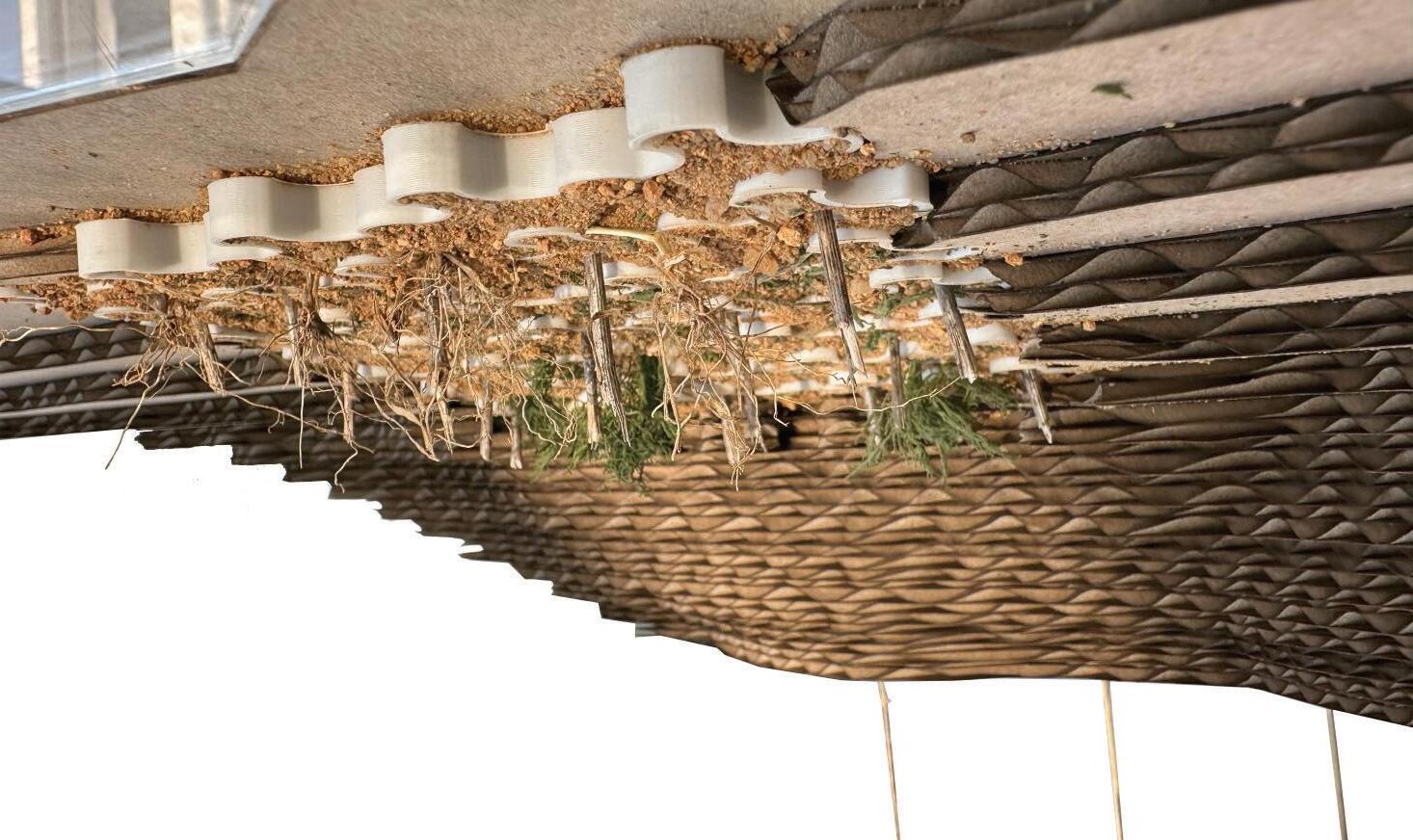
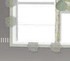
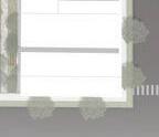
The models accurately represent the siteʼs contours, considering water level fluctuations. Four models, made from chipboard, acrylic, and site-sourced materials, illustrate the process. The first shows existing conditions. In year one, live stakes promote root growth. By year five, vegetation envelops the biostabilizer as roots establish and biodegradation begins. By year ten, the biostabilizer fully decomposes, leaving a selfsustaining ecosystem.
EXISTING CONDITIONSYEAR 1: IMPLEMENTATION
YEAR 5: PARTIAL GROWTHYEAR 10: FULL GROWTH
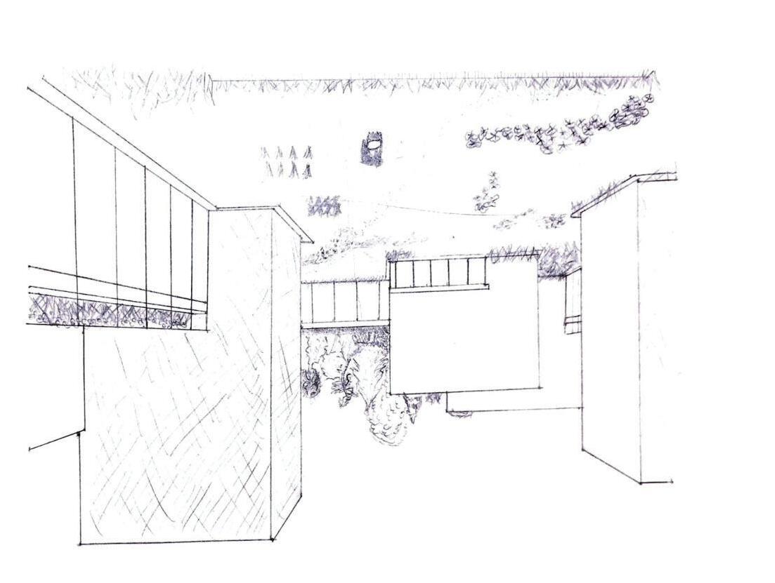
CABOOSE CROSSING GREENWAY AND PARK
WASHINGTON COUNTY, TN
Existing Park
Proposed Park
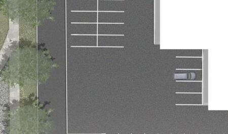
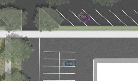
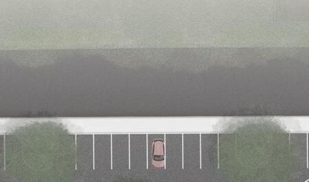
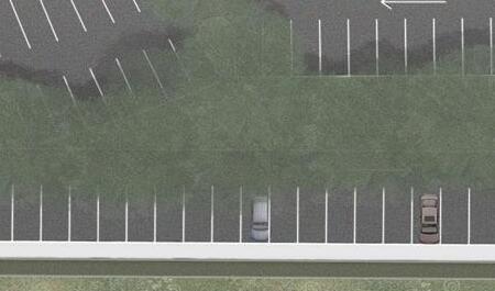
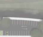
Existing Parking
Proposed Parking
Existing Bathroom
Proposed Bathroom
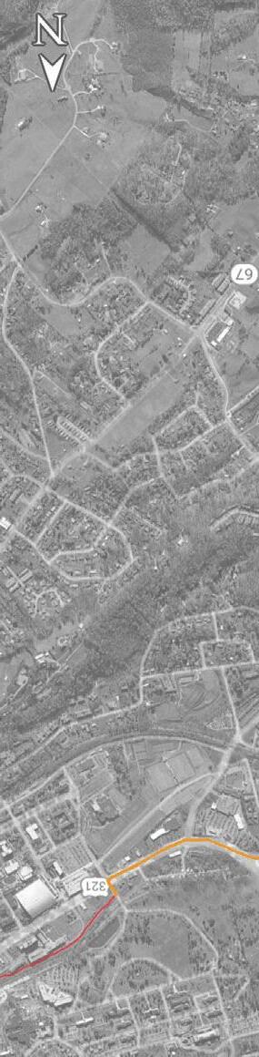
Scenic Route
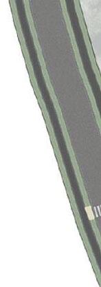
GREENWAY TRAIL
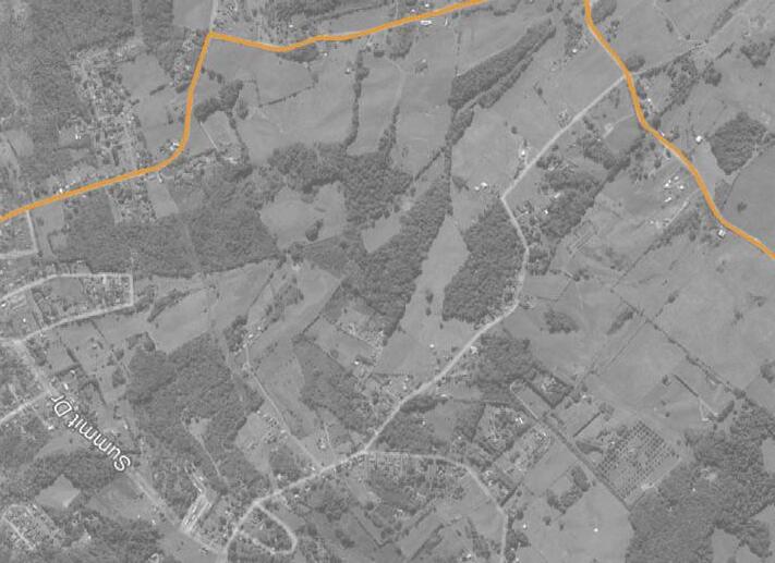
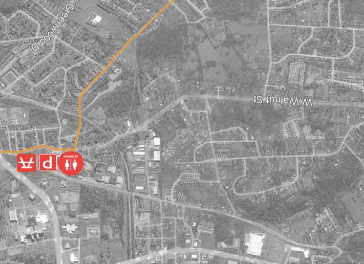
Project Background
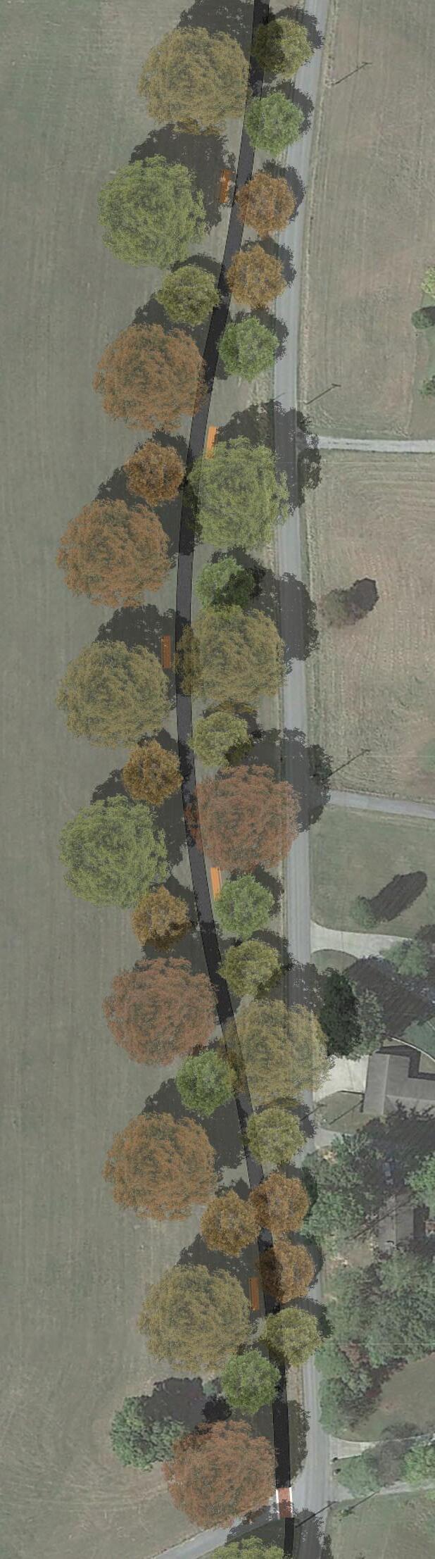
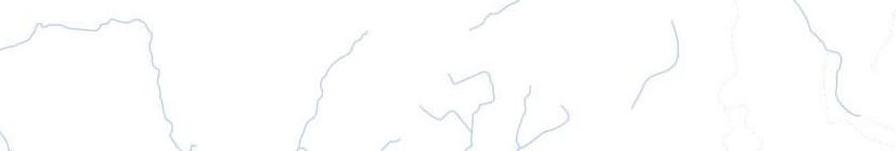
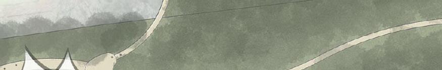
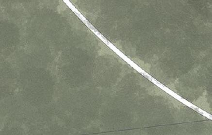
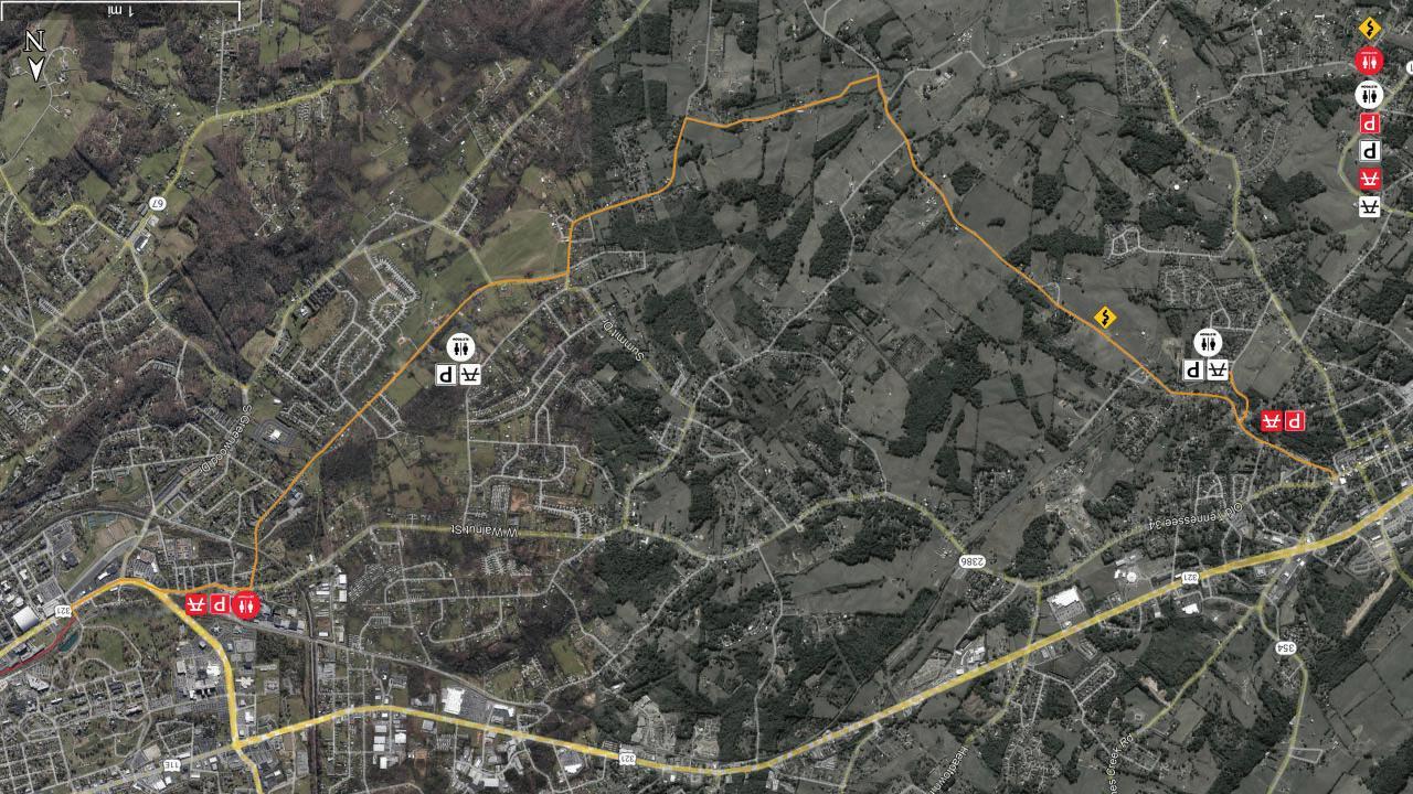
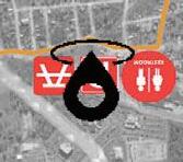
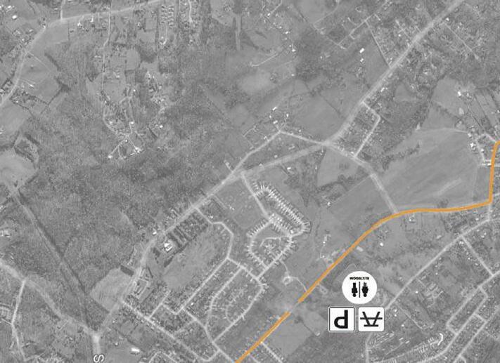
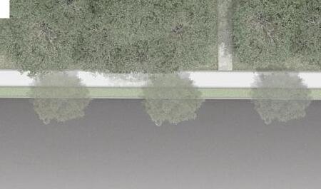
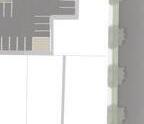
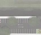
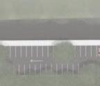
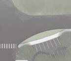
The Jonesborough-Johnson City segment of the Caboose Crossing Greenway offers an immersive experience, connecting Jonesborough and Johnson City through rolling hills, farmland, and residential backroads in Washington County. The trail links two existing parks, Caboose Crossing, a proposed park, and a scenic route. To improve accessibility, strategically placed parking areas and public restrooms ensure easy access to different sections of the greenway, creating a welcoming environment for all visitors.
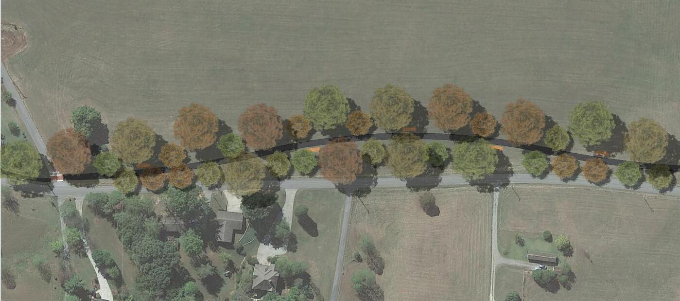
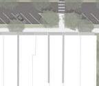
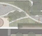
TOP LEFT IMAGE: thoughtfully designed greenway path, taking into account community feedback and available easement space to ensure effective implementation
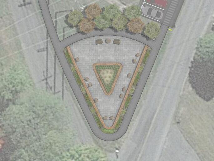
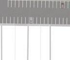
BOTTOM LEFT IMAGE: detailed view of the greenway, highlighting the scenic off-road segment, showcasing the planned route for an enhanced natural experience TOP RIGHT IMAGE: parklet concept
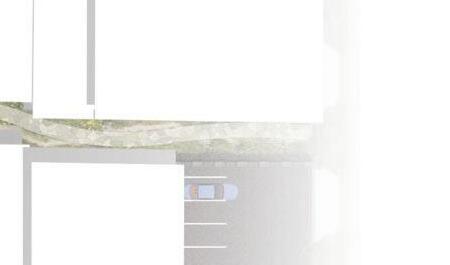
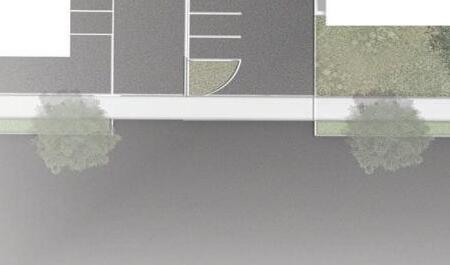
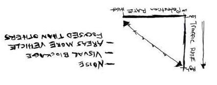
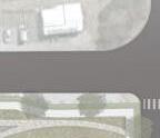
In the analysis of the denser urban fabric within Johnson City, key concerns regarding the condition of existing sidewalks and pedestrian safety were identified as critical areas requiring attention. To address these challenges, a comprehensive framework was developed aimed at fostering increased pedestrian activity while simultaneously enhancing the overall pedestrian experience.
WEST WEDGE PARK A CABOOSE CROSSING EXTENSION
Restrooms
Picnic Area
Event Pavilion
Park Entrance
Park Entrance
Monkey Mounds
Art Instillations Throughout Site
Oak Savanna Ecosystem Waterfront Seated Deck
Bridge Access
West Wedge Park transforms a compact, undeveloped site with mature oak trees and Bush Creek into an accessible, diverse space. The design provides entry points from the surrounding area and greenway, accommodates various demographics, and restores the oak savannah ecosystem. To the south, the Monkey Mounds offer elevated grassy hills for play and relaxation. The parkʼs revitalized oak savannah provides a serene experience with dense forest and wildflower plantings. Pedestrian bridges cross the creek, and waterfront decks offer immersive views of the riparian ecosystem.
TOP IMAGE: view of the Monkey Mounds from the adjacent roadway
BOTTOM IMAGE: a glimpse into the savannah oak ecosystem, winding alongside Bush Creek, featuring one of several strategically placed waterfront decks
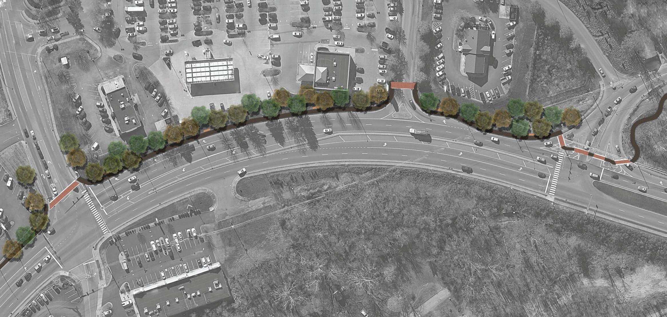
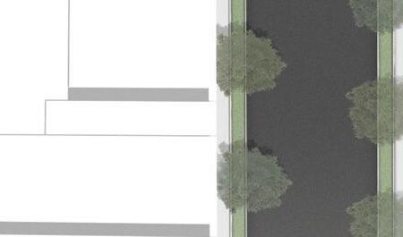
THE GREEN RIBBON IN AN URBAN ENVIRONMENT
SENECA, SC
PHASE IV
ZOOMING IN creating a more in depth plan to use as basis for landscape and parking adjustments
PHASE III VISUALIZATION
constructing a mixed-use approach for final concept and visualizing the layout of the area of interest
ANALYSIS PROCESS
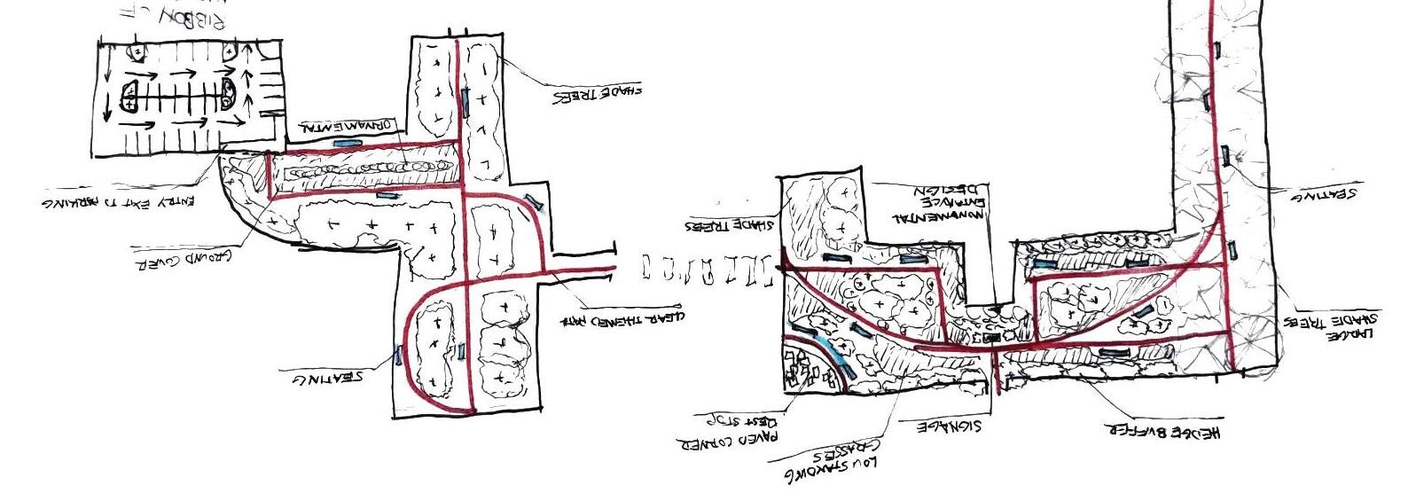
PHASE I EXISTING SITE observing trends in curculation, parking and greenspace, and parcel improvement along with community needs
PHASE II OPTIONS
providing a variety of concepts, each focusing on a different user group or style of atmosphere
Project Background
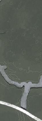
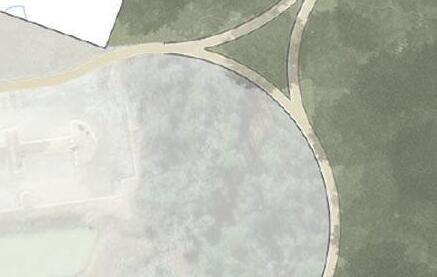
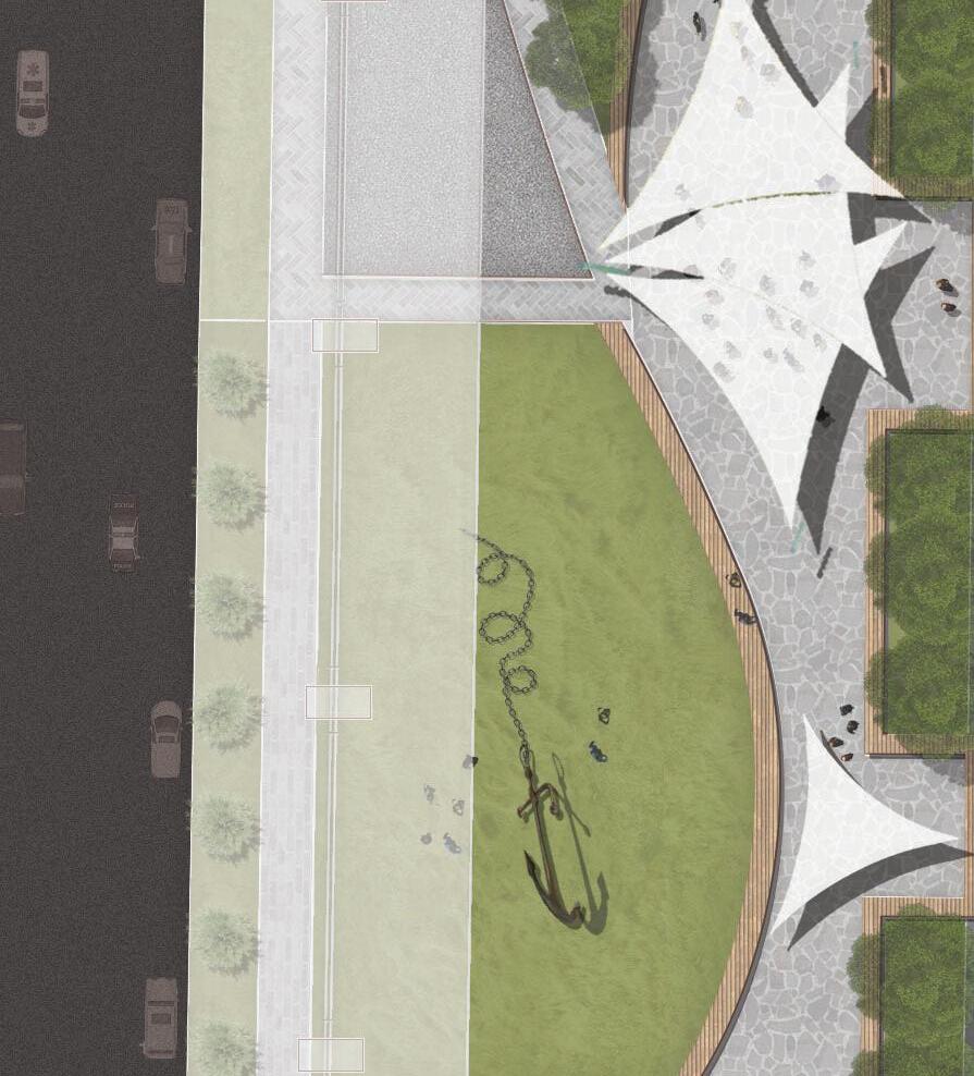
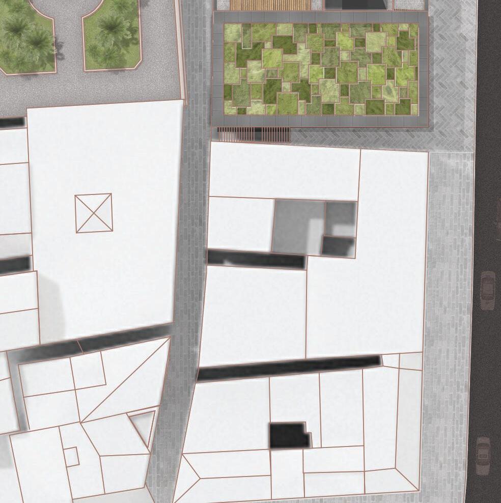
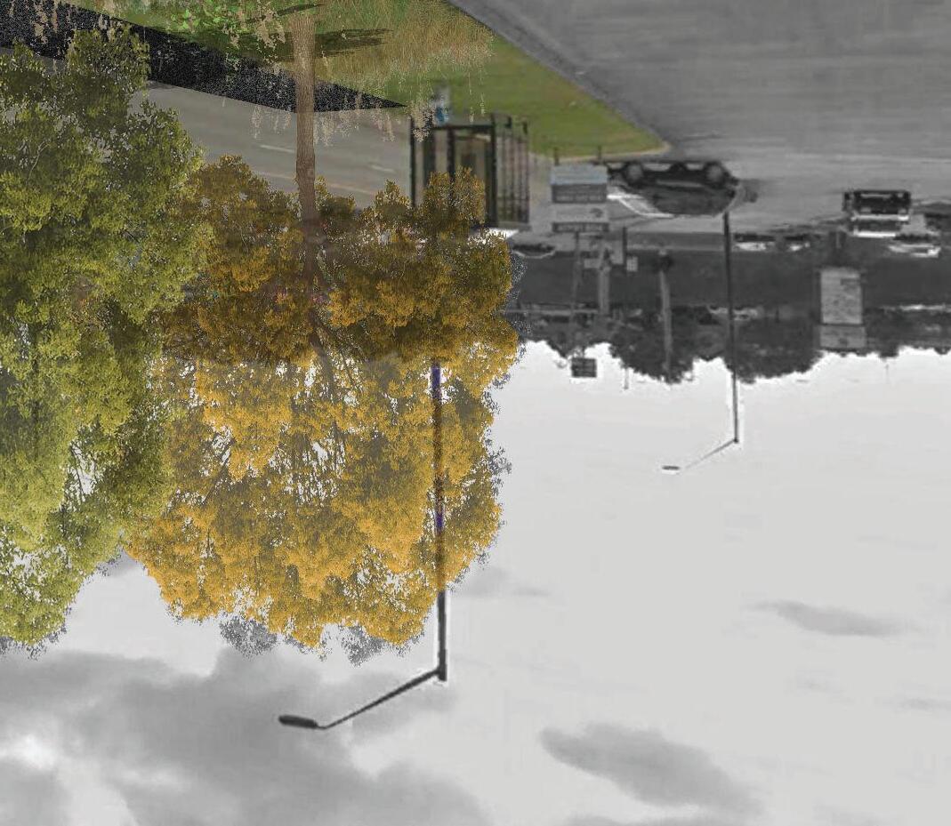
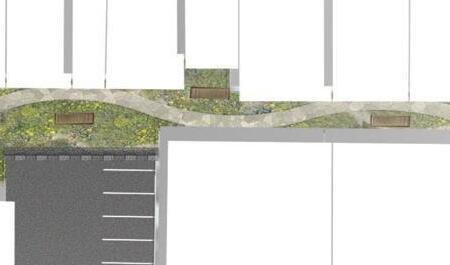
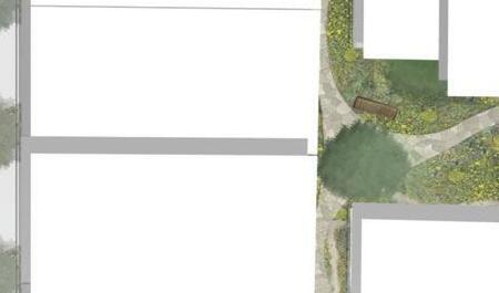
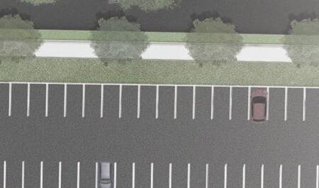
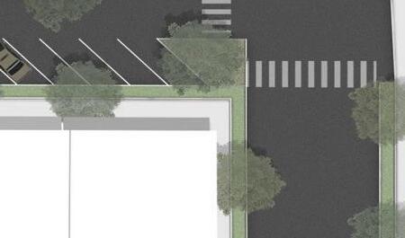
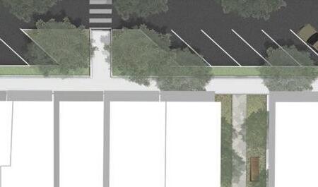
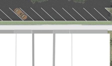
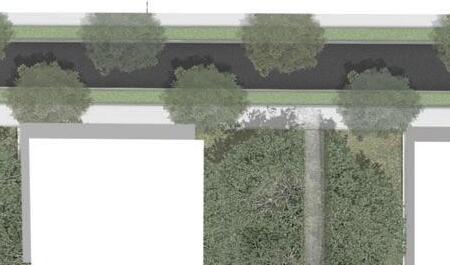
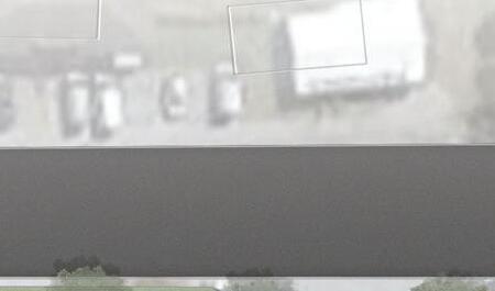
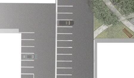
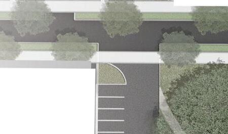
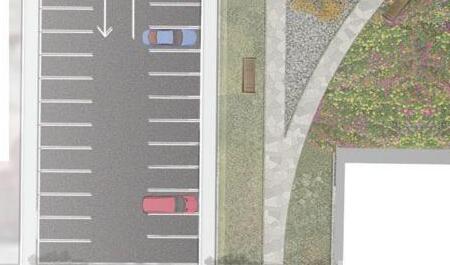
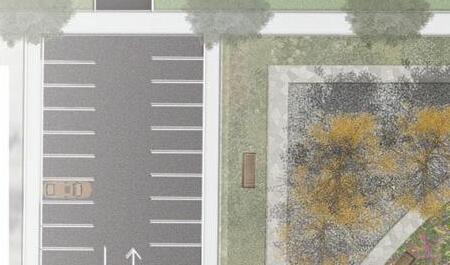
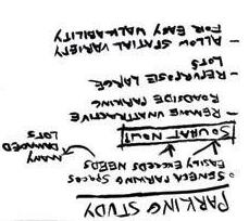
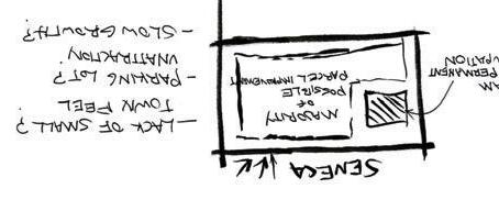
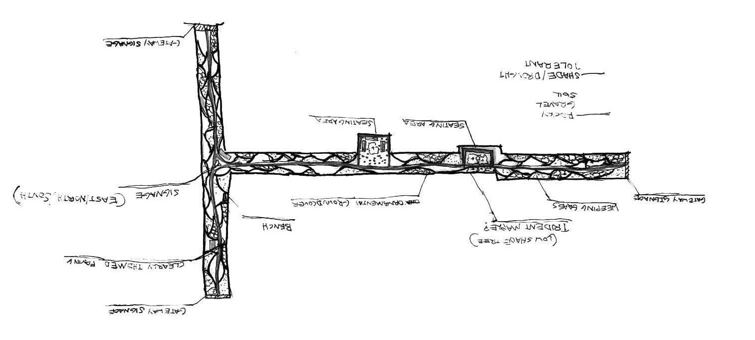
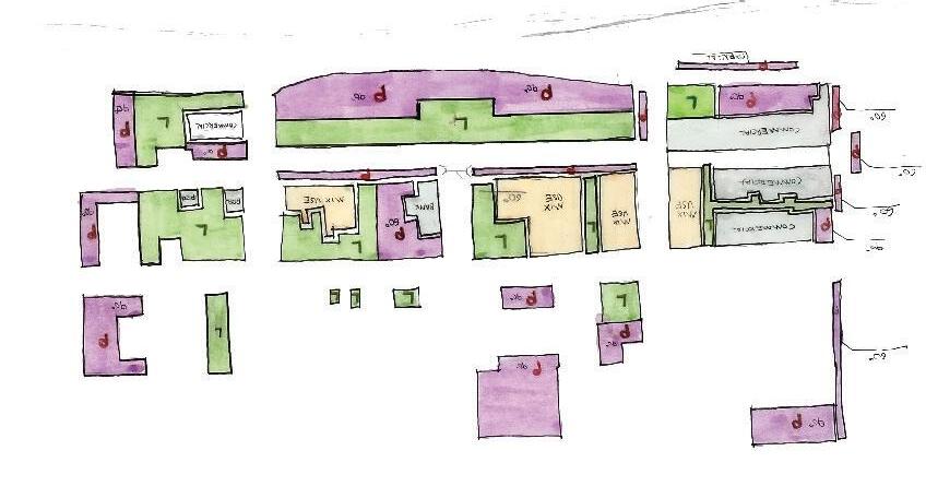
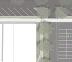
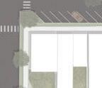
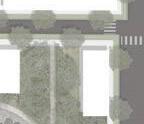
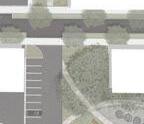
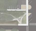
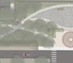
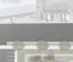
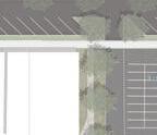
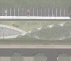
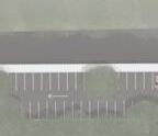
The green ribbon of Seneca transforms urban spaces by replacing hardscapes with sustainable vegetation, enhancing the environment. Previously underutilized parking lots were consolidated to create greenspace, which also acts as a visual buffer to reorganized parking areas. Each block, blending residential and commercial uses, features its own green space and connects to a walkable city network. Ram Cat Alley, a signature pedestrian zone, is designed with warm tones and textures to encourage movement and relaxation. An abandoned passage nearby has been revitalized into a vibrant greenspace and walkway, accessible from three streets, further integrating nature and mobility.
IMAGES: Detailed analysis of existing conditions, development of multiple land use concepts, implementation of land use strategies, and the application of distinct corridor design methodologies.
LEFT IMAGE: Ram Cat Alley reimagined as a pedestrian-focused, mixed-use social hub
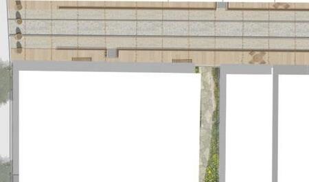
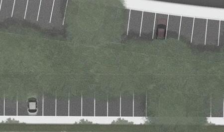
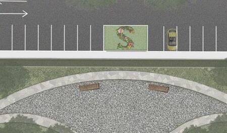
RIGHT IMAGE: former parking area transformed into a central greenspace, featuring vegetated trails and stationary workout stations
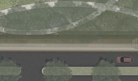
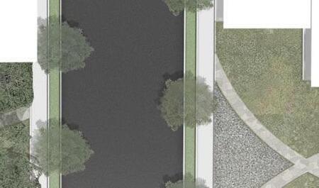
Lowered Parking Lot
Asphalt Path & Railway Lookout
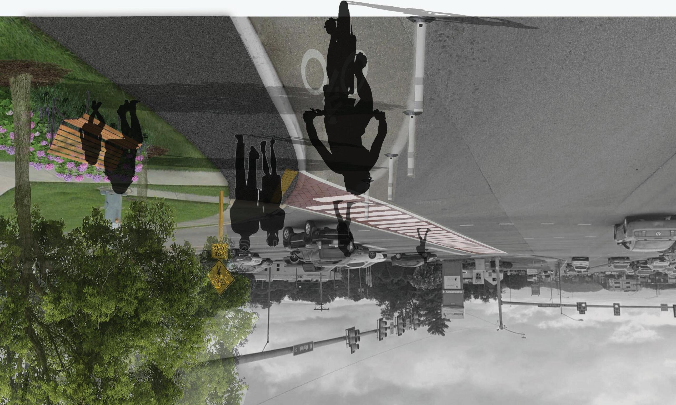
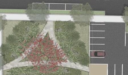
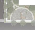
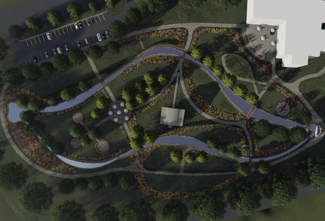
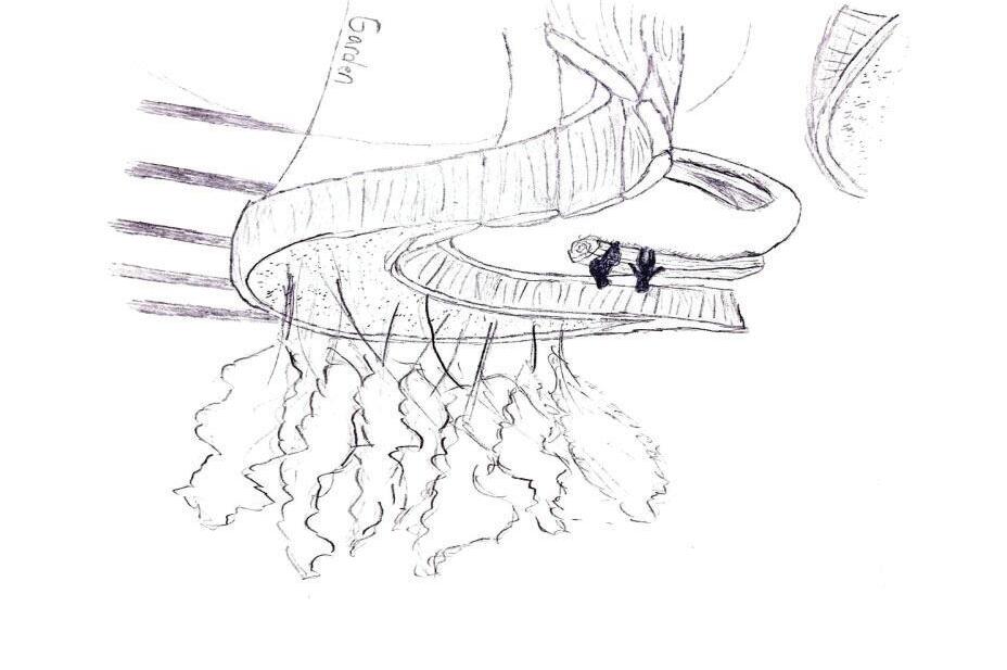
CONNIE MAXWELL CHILDRENʼS MINISTRIES HEALING CENTER
THERAPEUTIC GARDEN
GREENWOOD, SC
Project Background
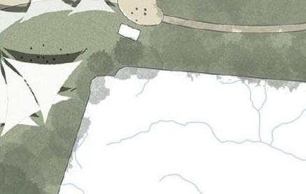
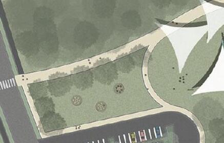
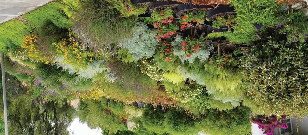
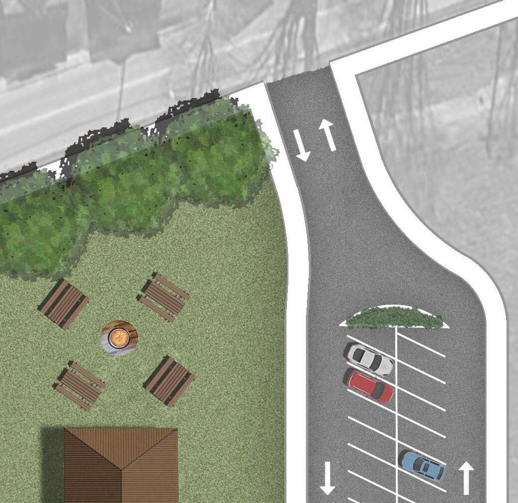
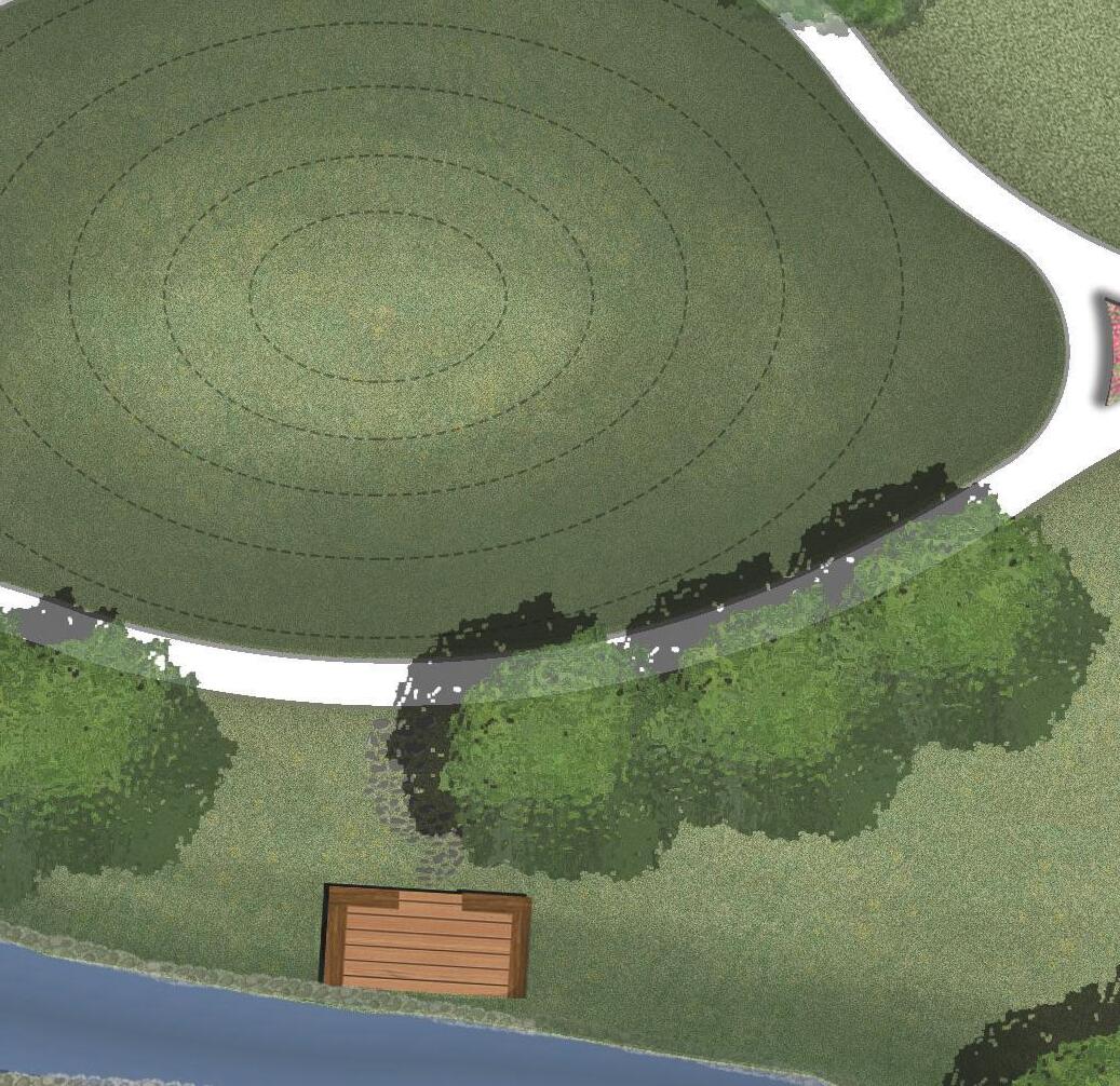
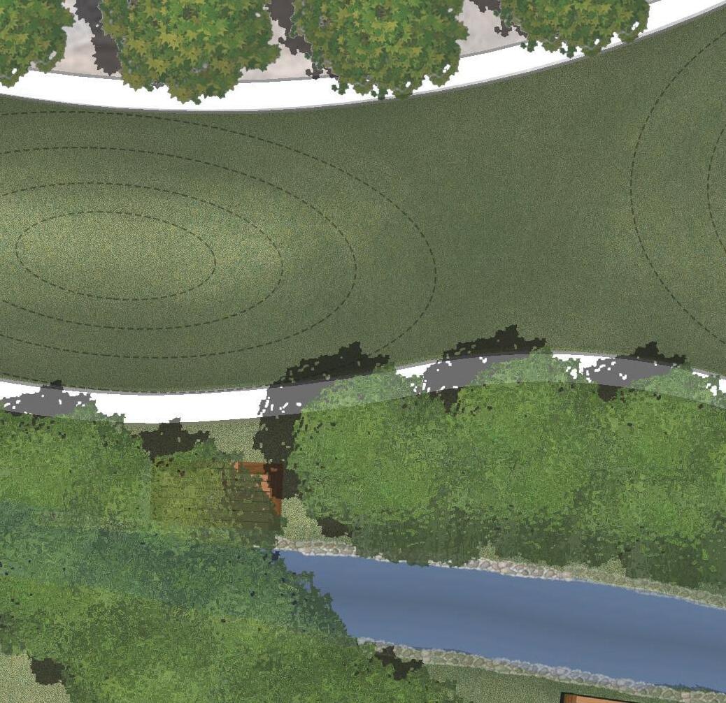
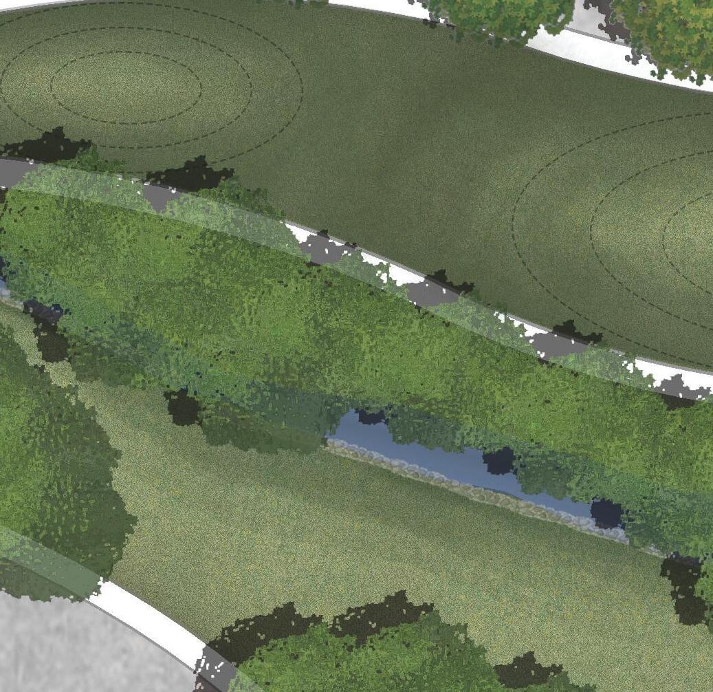
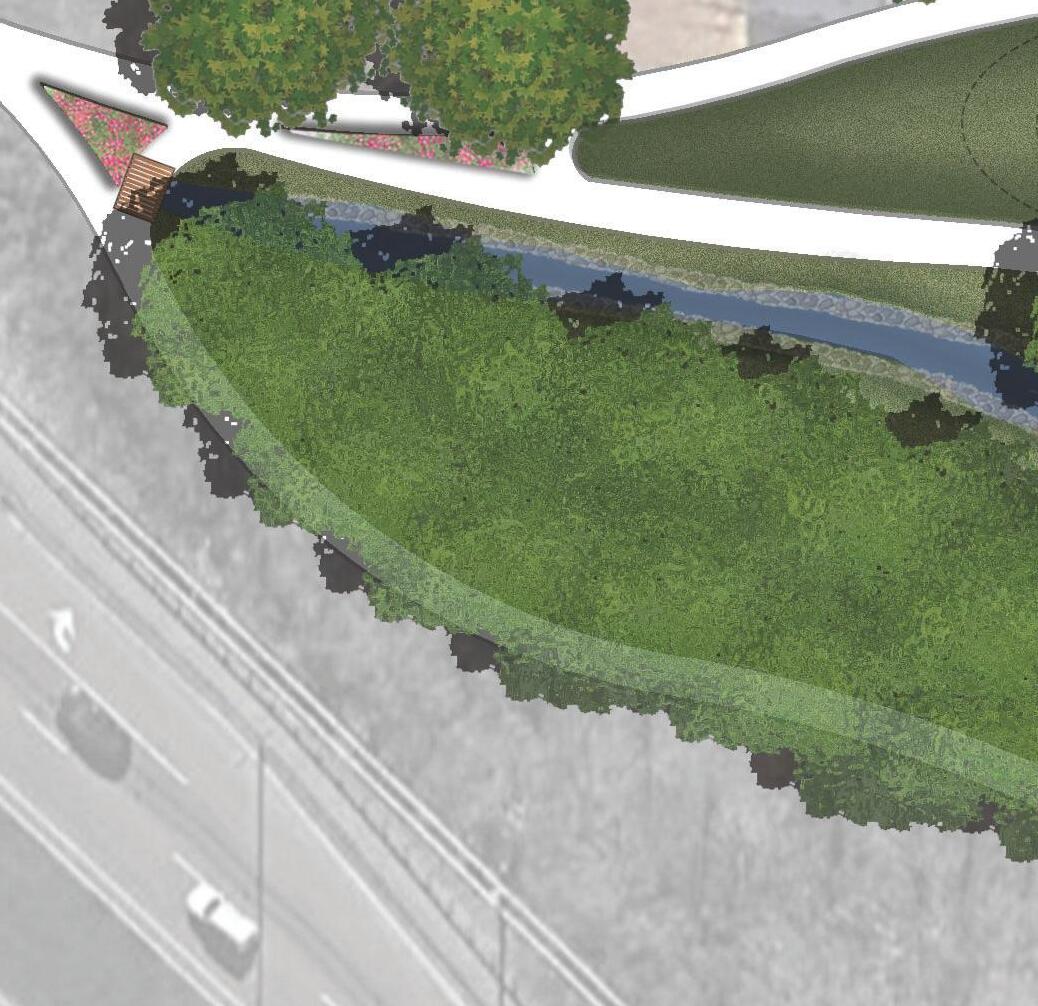
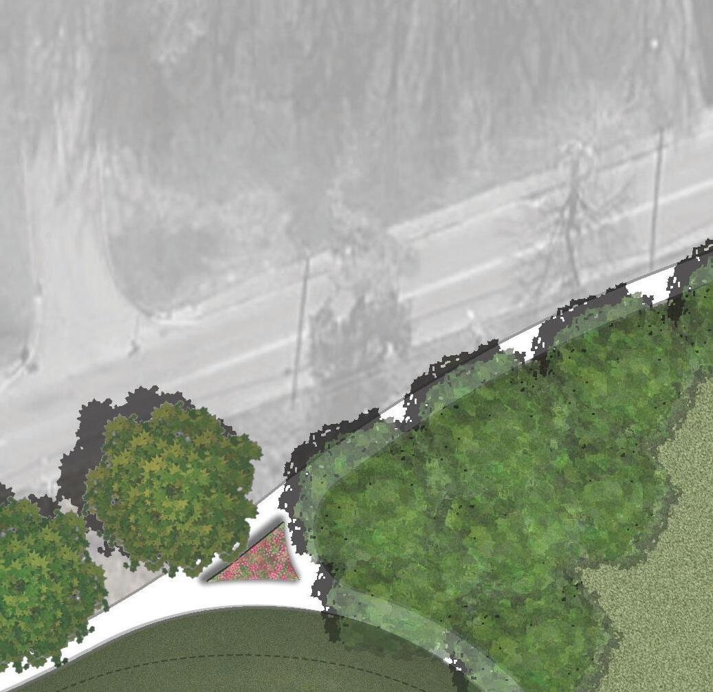
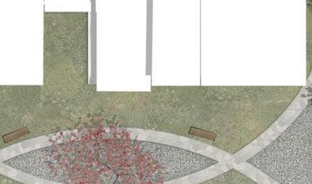
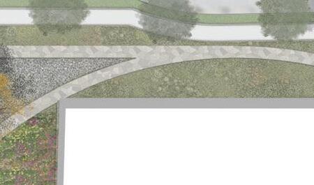
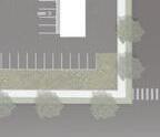
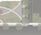
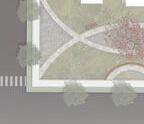
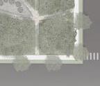
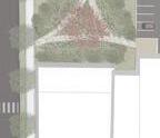
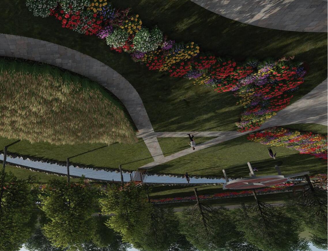
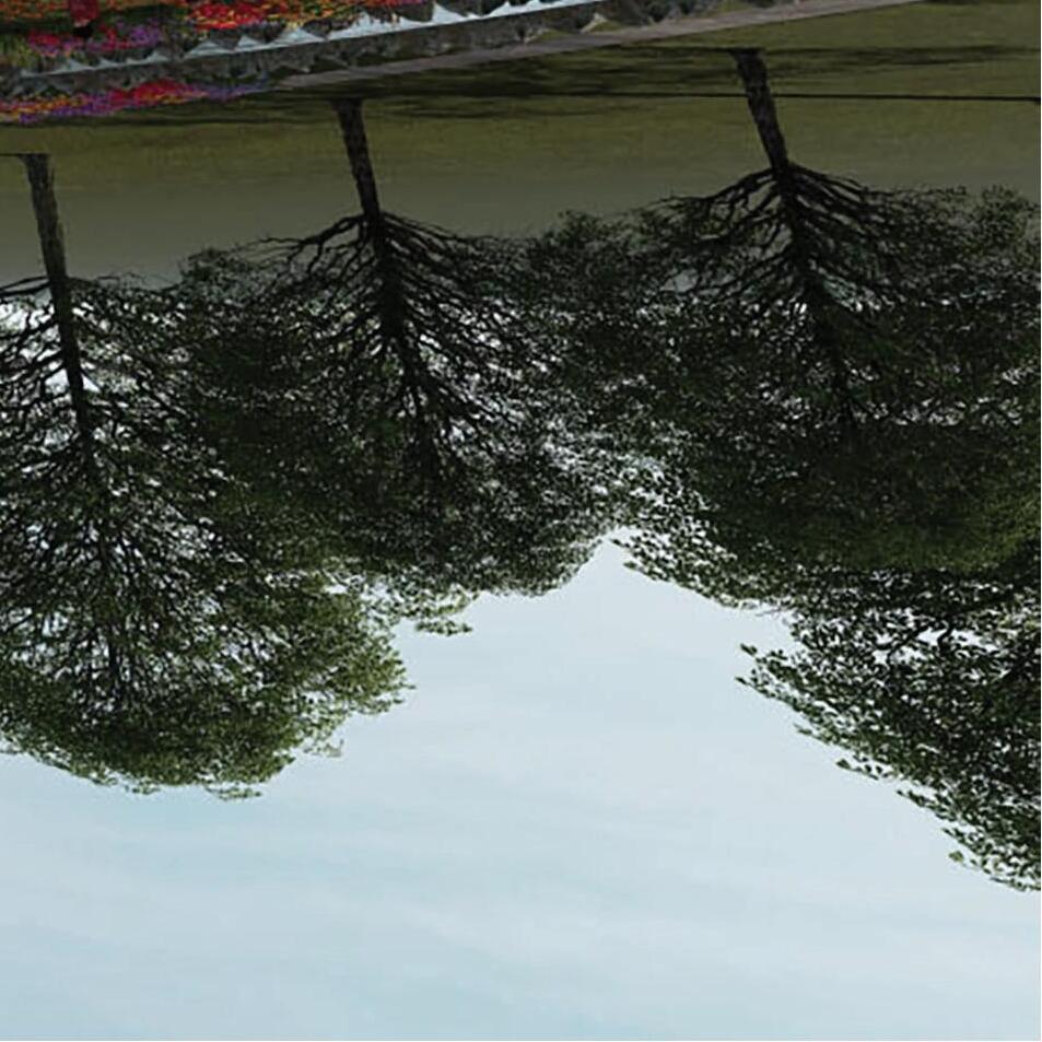
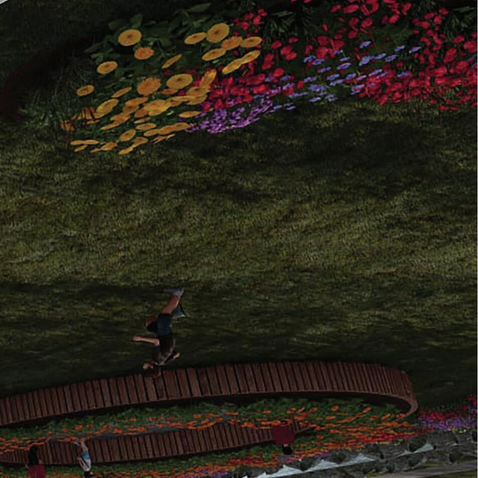
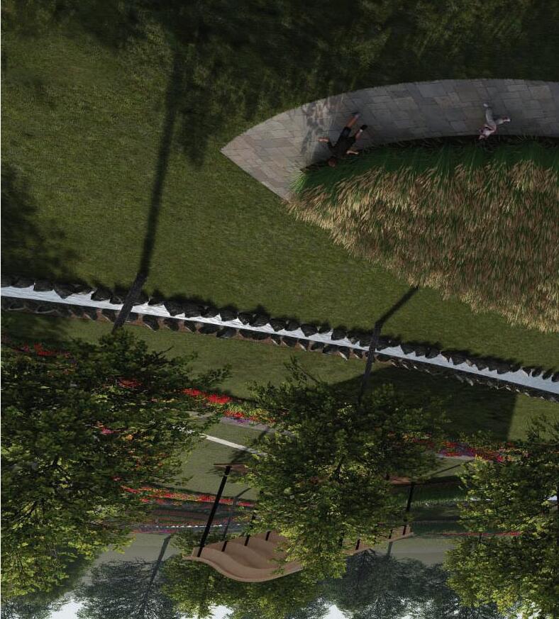
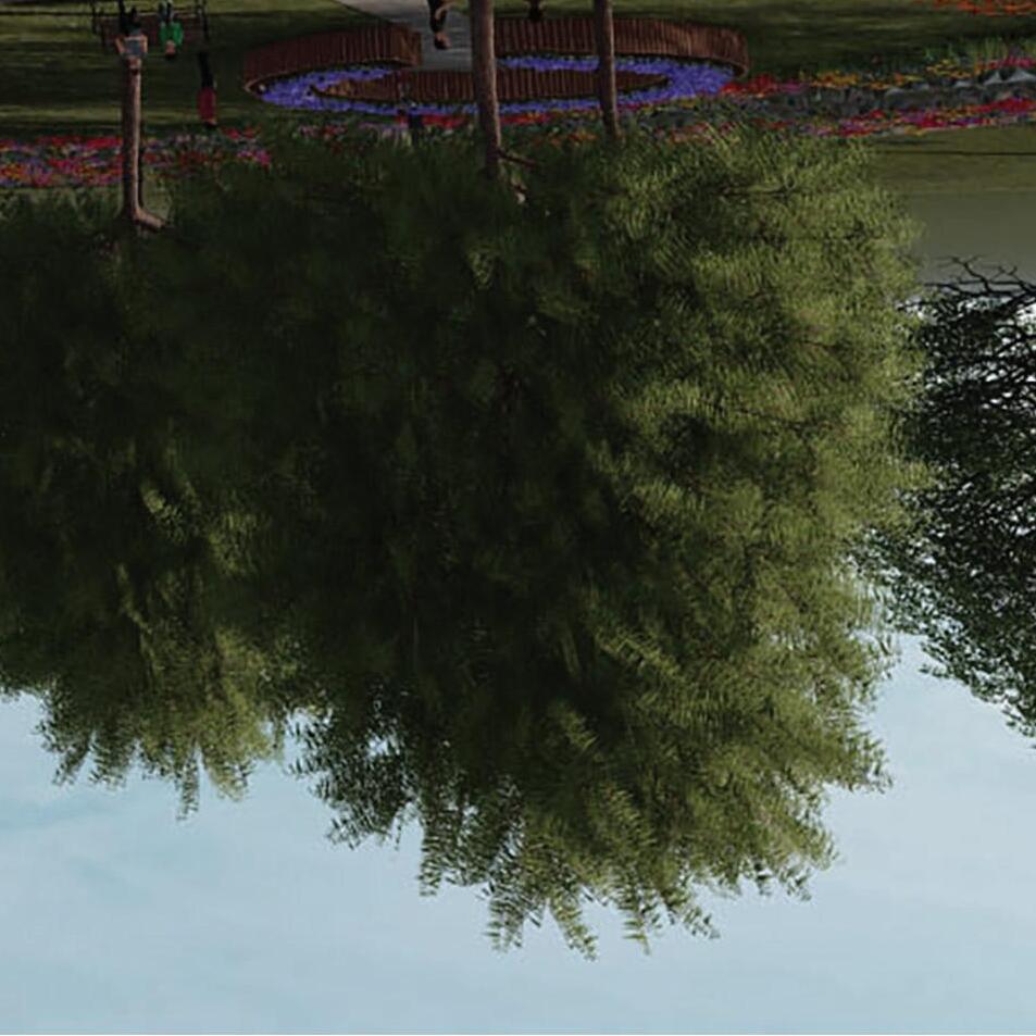
A healing center is planned across from Connie Maxwell Baptist Church to focus on trauma and mental health research, education, and practices. Guided by the principles of Collaboration, Cooperation, Continuity, and Communication, the center serves as a beacon of hope. The surrounding lawn is designed to reflect its mission, with distinct areas for different purposes: a communal prayer zone, a private garden, and a childrenʼs therapy garden with seasonal planting beds. A gently flowing stream connects these spaces, creating a cohesive and harmonious landscape.
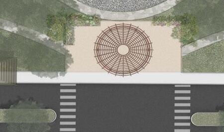
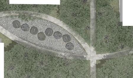
TOP IMAGE: view of the communal prayer garden, incorporating religious symbolism through thoughtful planting and structural design
BOTTOM IMAGE: childrenʼs therapy garden with interactive planting beds, easy stream access for exploration, and shaded seating for supervision
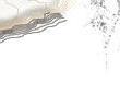
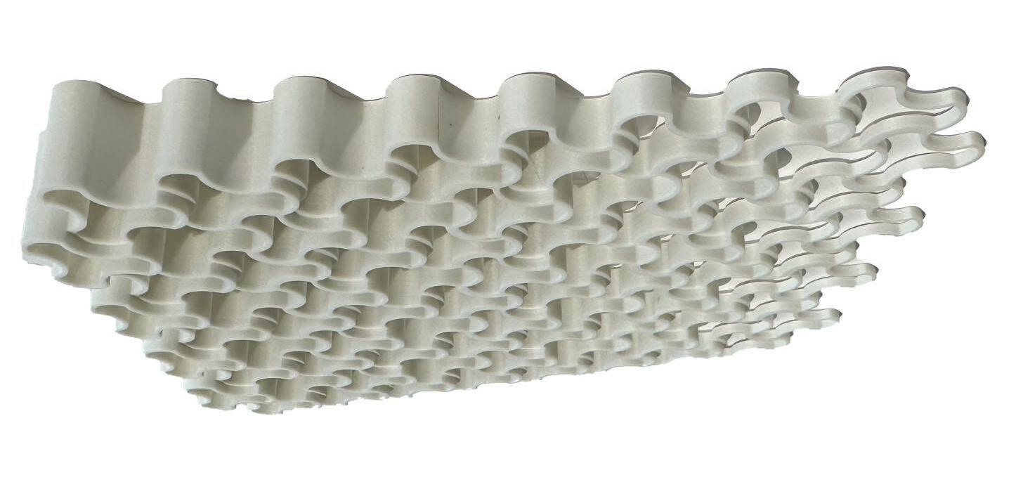
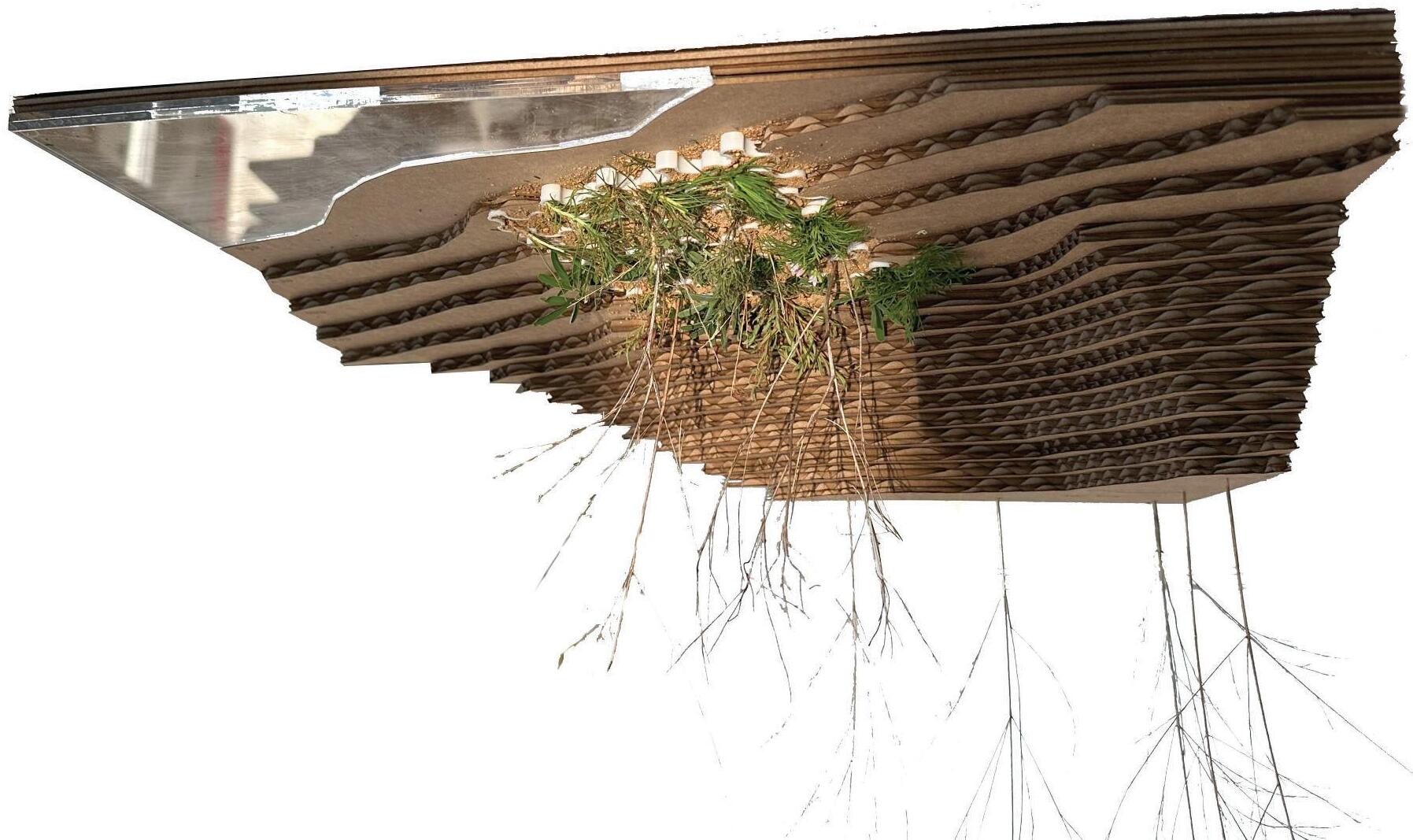
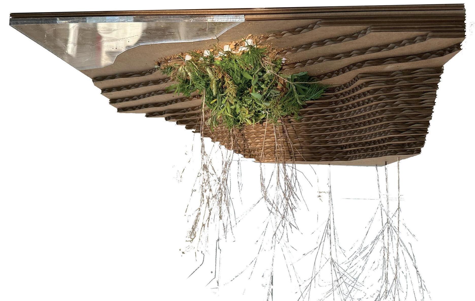
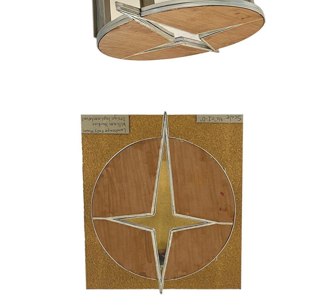
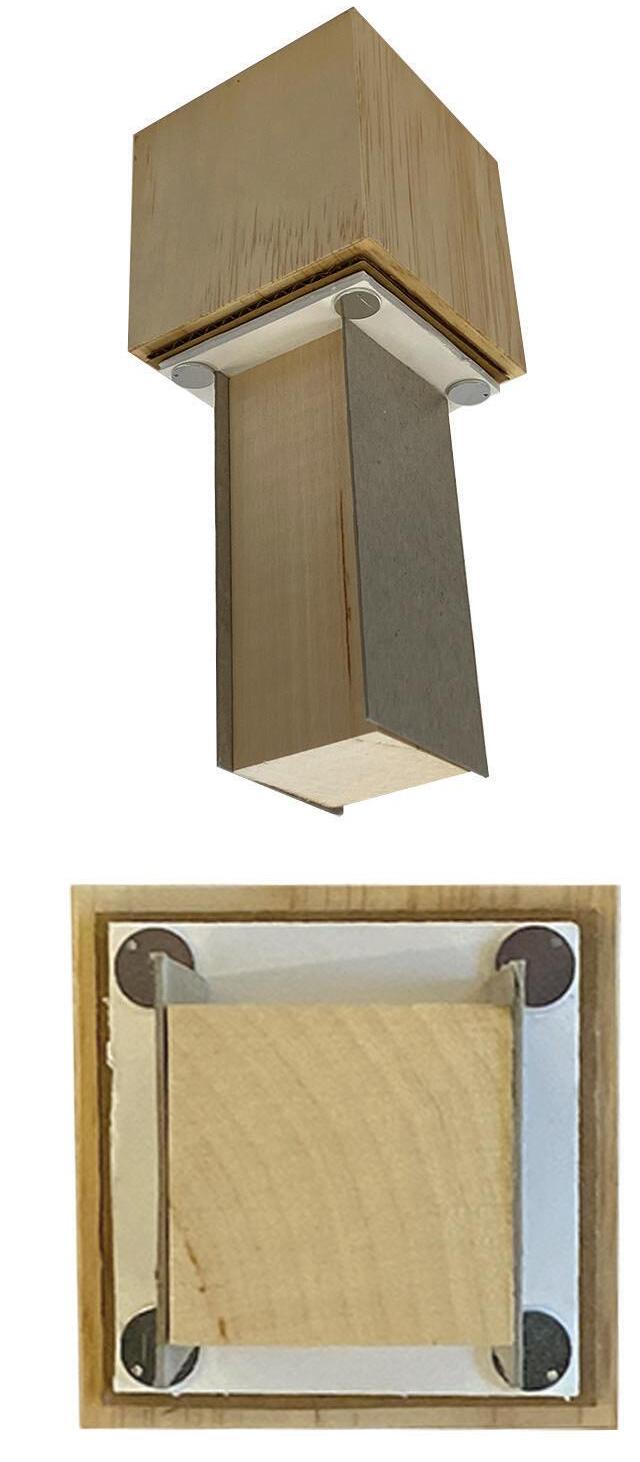
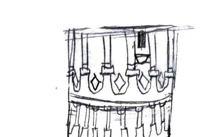
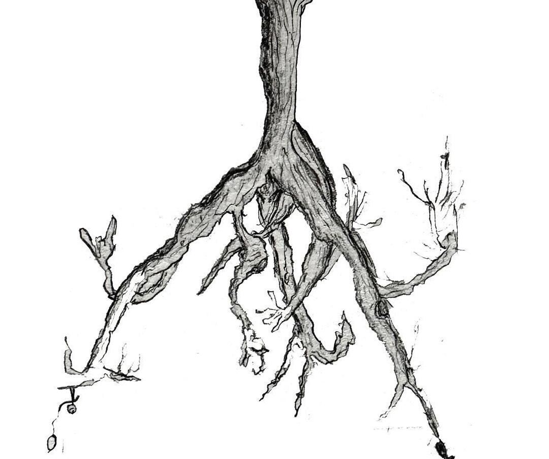
STRUCTURAL COMPONENT MODELS
A detailed visualization assessing material selection, scale, and structural integrity. The folly model incorporates wood, cardboard, sandpaper, and metal wire to accurately represent the appearance and construction of the real structure.