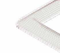
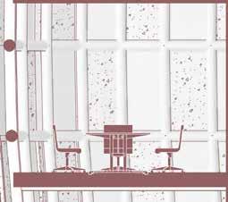
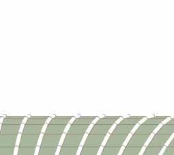
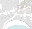
• Blue Paradise - Awawan Seaside Recreational Park, 20212022
• Takoham Regional Planning, 2020-2021
• PCG Central Java Industrial Park - VR Showroom, 2022
Carrington Street, 2019
Sratford Centre New development, 2018
Jinshan Casa, 2016
• SINICA Eco-Pavilion - Drawing Competition, 2016
• Penghu Sport Centre, 2016
Student Projects /
• Alpine Botanic City, 2018-2019
• Barter Village, 2018-2019
Future Artefacts Archive, 2017-2018
Sync / Sink City, 2013-2014
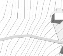
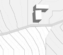
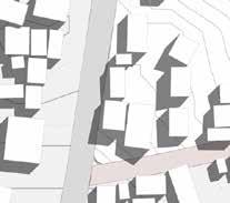
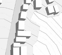
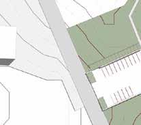
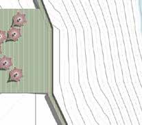
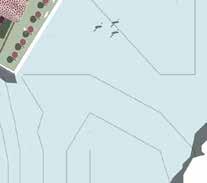
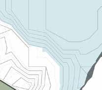
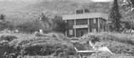
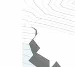
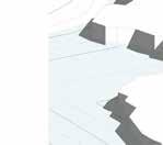
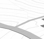
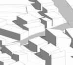
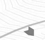
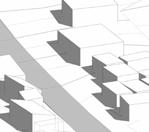
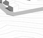
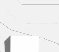
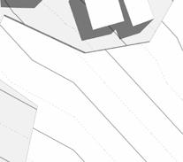
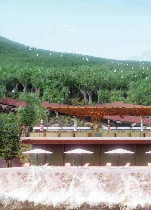
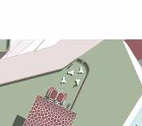
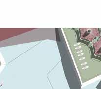
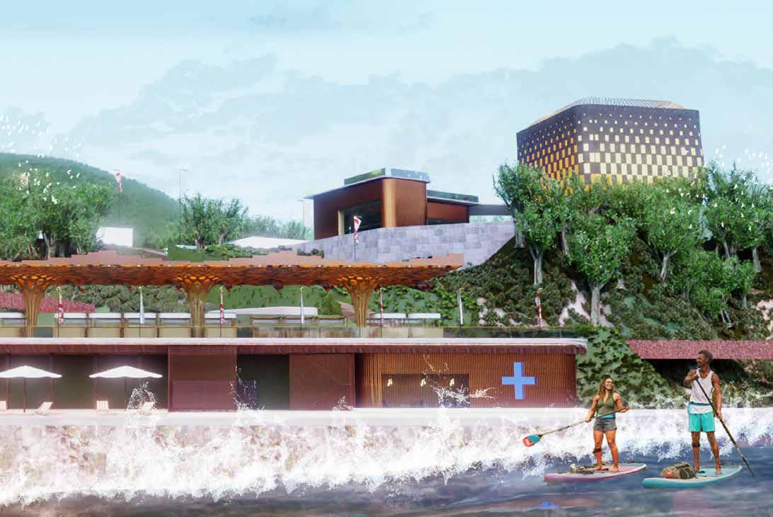
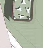
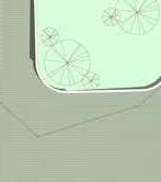
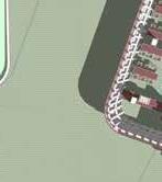
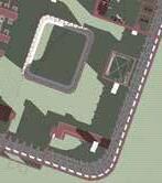
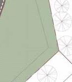
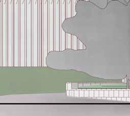
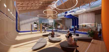
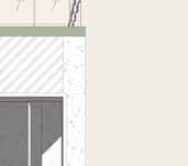
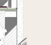
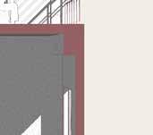
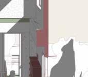
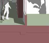
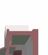
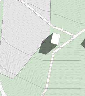
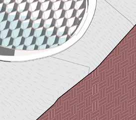
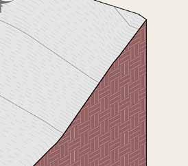
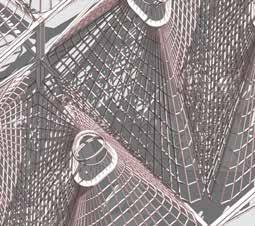
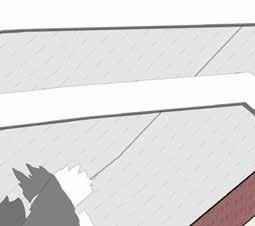
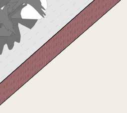
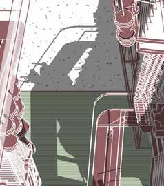
Blue Paradise - Awawan Seaside Recreational Park
Cheng-Gong, Taitung County, Taiwan
23°10'37.5"N 121°24'06.8"E
Work Experience Project, 2021-2022
Client: ECNSA, Taiwan
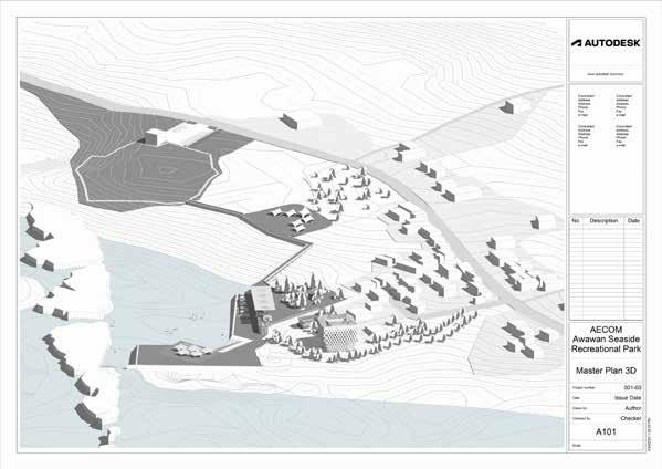
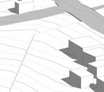
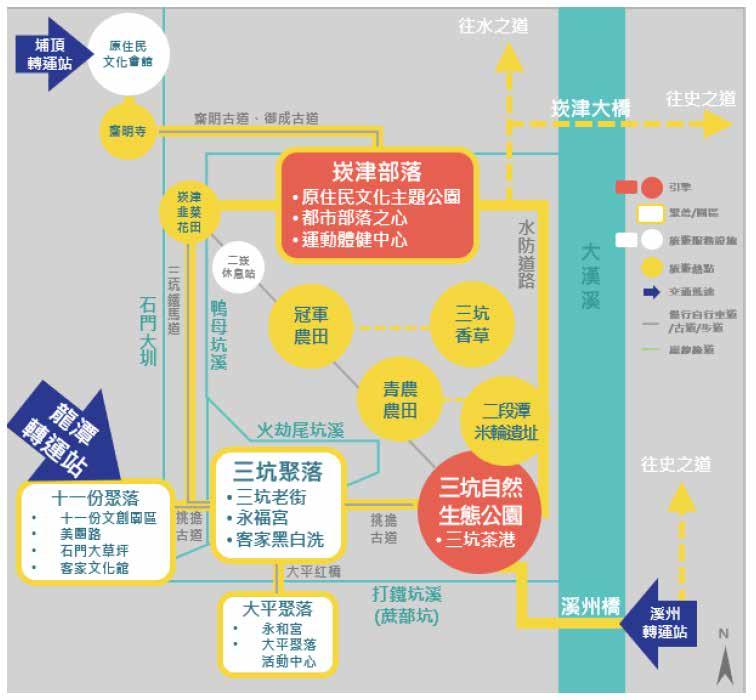
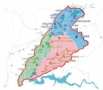
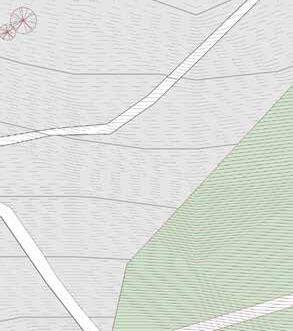
The requirement of the project is to deliver a dynamic long-term planning document that provides a conceptual layout to guide future growth and development of water sport tourism, which includes developing a strategic framework, as well as studying the feasibility of the planning proposal. The project site is located at the east coast of Taiwan, which is also regarded as one of the most sensitive areas where there is conserving of the most diverse ecosystem of wildlife, natural landscape and aboriginal communities. The strategic planning site covers the whole administrative area of the client ECNSA (East Coast National Scenic Administration) with 3 specifically appointed locations in the north, middle and south part of the administrative area. Nevertheless, the designated site for detailed planning design is the north location among the appointed sites - Awawan (Meaning “Stone Umbrella”, named after one of the most iconic volcanic rocks which looks like an umbrella).
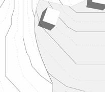
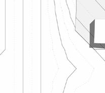
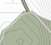
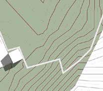
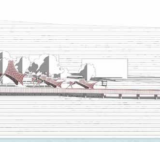
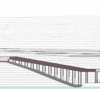
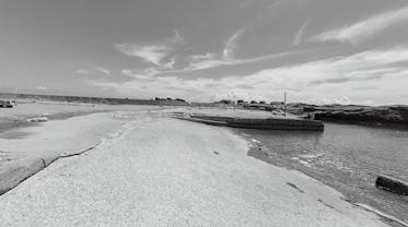
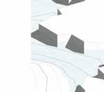
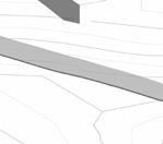
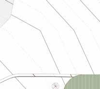
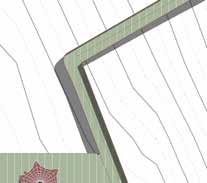
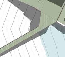
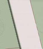
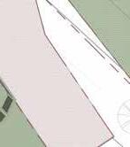
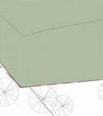
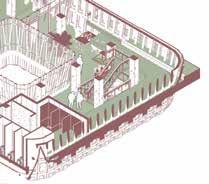
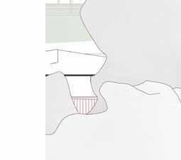
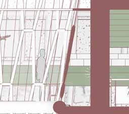
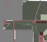
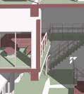
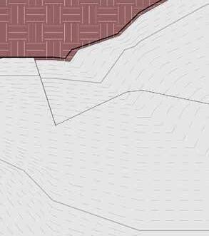
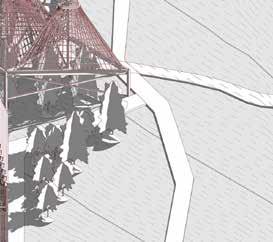
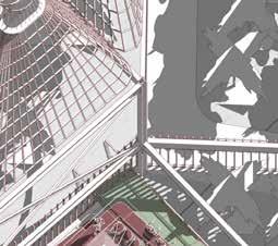
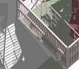
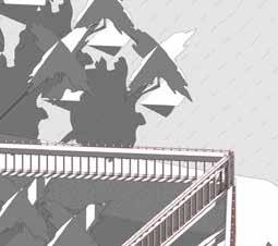
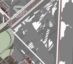
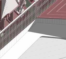
Cliff Walkway - Connecting Existing Recreational Park to The New Waterfront
1.“Acupuncture” approach for landscape micro managementbased on the initiatives in the master plan
2.Diversifying tourist capacity level based on social and environmental consideration.
3.Promoting integration and collaboration of cultural identity and tourist activities.
[ Transport Target ]
• Identifying public, semiprivate, and private spaces and public amenities
• Traffic Control • Land-Use Capacity Setting • Feasible Operative Model (OT / Governmental Procurement / Direct Operation)
Development Potentials
The natural resources at the east coast have been one of the most well-conserved and celebrated in Taiwan due to its mountainous topography which creates a complexed environmental obstacle for urban development. With its volcanic geology and ocean flows from The Pacific Ocean, strong biodiveristy and maritime ecosystem are what come to mind first when we started developing the project. We use both firsthand and second hand field survery methodlogy to investigate development potential from ecological aspect, social aspect and economic aspect. We concluded 9 key local resources which would be benefitial for water sport tourism, and 10 critical conclusive perspectives from local communities, officials, orgnaisations as principle values to leverage development intensities and design approaches.
3 Key MP Strategies & 6 Initial Targets
As what is shown in the diagram above, the planning and design apporach will be as minimun as possible considerring the client's schedule of delivering the project in the future, as well as the budget. Thus, firstly we suggested an "Acupuncture" design approach including using existing infratructures and spaces, connecting patches of the public realm. Secondly, because our project sites are relatively safe and calm water areas, we suggested future water sport tourism targetting all age groups and creating friendly spaces for all of these groups. Thirdly, our project sites are located in Taitung County where 80% of the local population are aborigional people and Amis is the dominant tribe among them. Aboriginal culture and identity has been one of the national intiatives from the Taiwanese government, as well as a siginficant resource for Taiwanese tourism. Therefore, we suggested following the successful models of other well developed areas regarding promoting aborigional cuture and integrating it into the future development at the project sites. These 3 key strategies were then developed further into 6 planning targets for the design proposal.
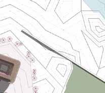
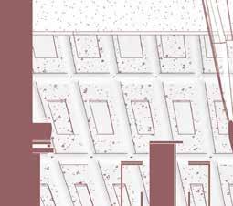
Scale 1/2000
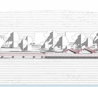
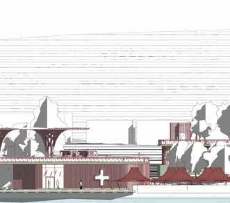
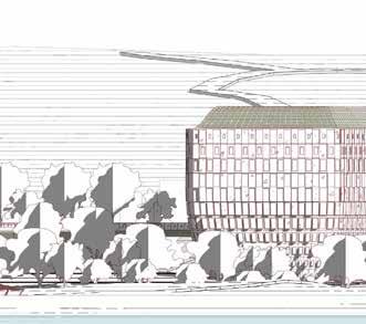
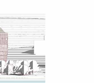
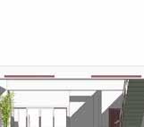
East Elevation Scale 1/1000
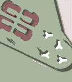
Tourist Centre Pacific Ocean Community Centre Park Bankside Bankside Market
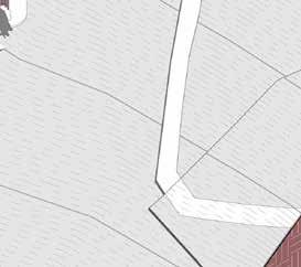
Cliff Walk
Viewing Platform
Main Carpark
Carpark Cliff Campsite
Bridge to Carpark
Viewing Platform & Campsite
[ Transport Target ]
Clearer Road Hierarchy
1. Providing a designated carpark for water sport business owners dropping off cutomers.
2. Building corridors in-between the existing recreational park and the waterfront area to divert cars and pedestrians.
3. Transforming the main street to the waterfront into a promenade and limiting car access.
[ Service Target ]
More Utilities for Water Sport People
1. Creating a new seaside recreational park tourist centre.
2. Converting the existing unused space into a multi-purpose platform for local events, such as markets, music events, etc.
[ Landscape Target]
Enhance Public Realm Connectivity
1. Creating viewing platforms while developing a walkway system interlinking future camping sites, waterfront and transport access points.
2. Consistent design language for landscape furnitures and signages.
3. Refurbishing existing utilities and landscape infrastructure in the current recreational park.
[ Ecology Target ] Restore Biodiversty
1. Conducting biodiversity research and a feasiablity study for increaing biodiversity.
2. Waterfront landscape improvment with environmental-friendly design and tectonics.
[ Diversity Target ]
All Age Group Freindly Spaces
1. Suggesting all the activities are guided activities to prevent individual tourist behaviours damaging the sensitive ecosystems.
2. Establishing a management board including business owners, local residents and the operation team to monitor the activity and maintain the environment.
3. Providing diverse entertainment packages by collaborating mountain hiking, agricultural experiences, short classes, etc.
[ Economy Target ]
Supporting Local Startups
1. Securing strong influences of local aborigional identity associating with the overall marketing strategy of the future seaside recreational park by encouraging and supporting local startups.
2. Introducing training that will be beneficial for local business owners and facilitate business networks for local startups to increase business resilency and scalability.
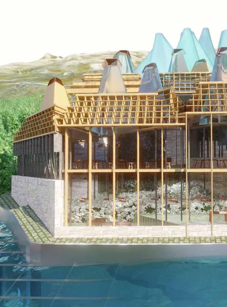
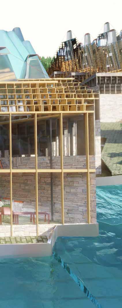
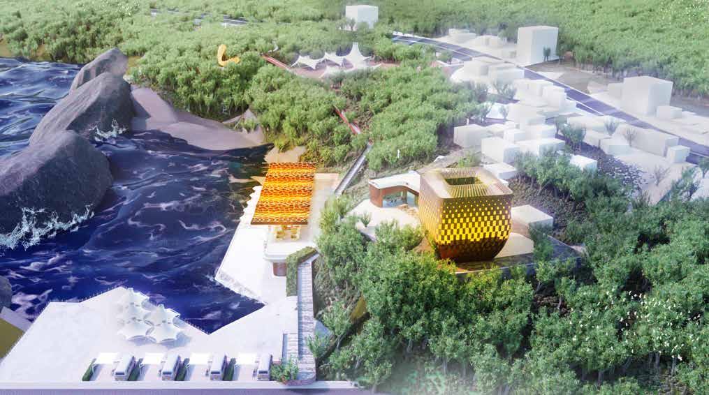
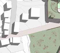
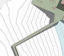
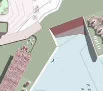
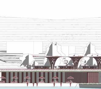
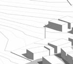
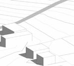
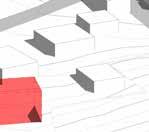
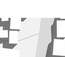
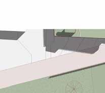
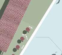
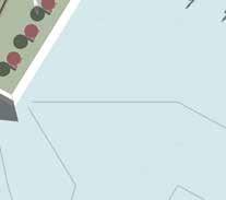
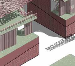
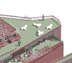
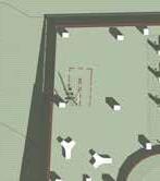
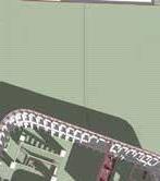
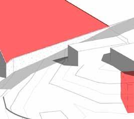
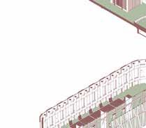
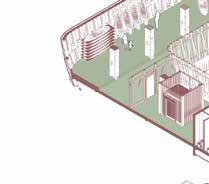
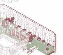
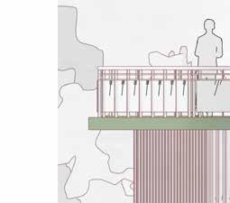
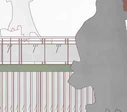
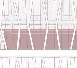
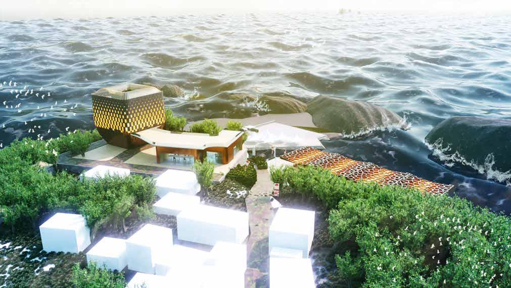
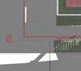
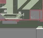
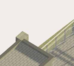
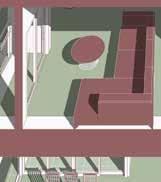
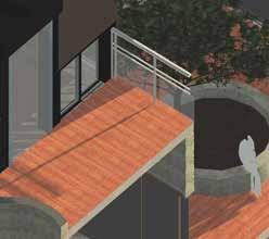
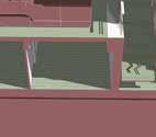
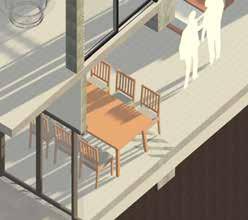
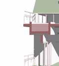
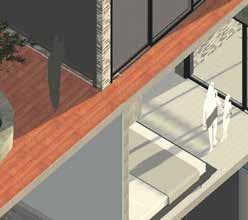
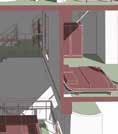
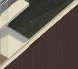
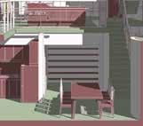
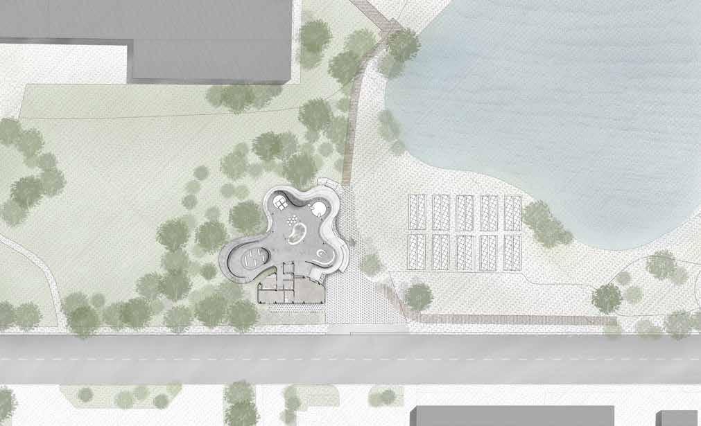
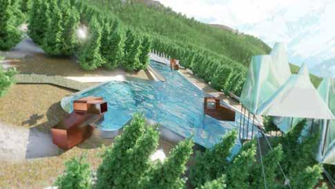
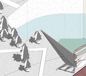
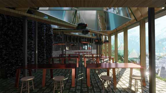
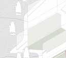
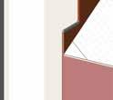
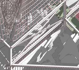
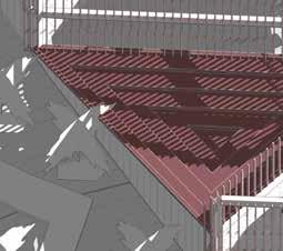
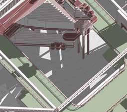
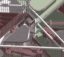
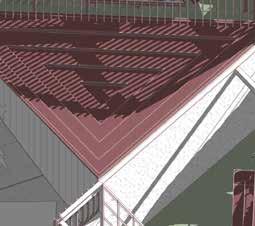
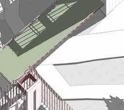
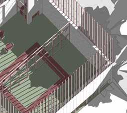
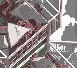
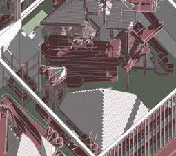
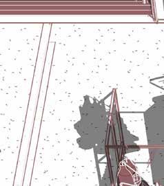
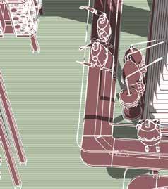
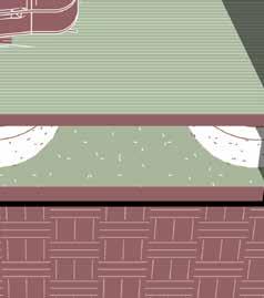
▌ Proposed Waterfront Landscape & Market
The proposal focuses on repurposing the derelicted outdoor fishery pond multiple functional platform for future events. The concrete structure condition to support future outdoor a new market canopy built on the top of it. By using well 8 meters height difference in between platform level and water front level, the platform level expanded 5m side with cantiliver system to create sheltered spaces underneath the new proposed floor plan.
Used as Market Platform Structure
The new proposed platform will be used to host various current popular local event , such as markets, music festivals, traditional events of AMIS aborigional tribe. Especially for market -use, the platform is the junction of walkig circular in the new bankside recreational park and central promenade in local village, which is the location in the park that will receive the most visitors and benefit the best interest of business.
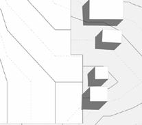
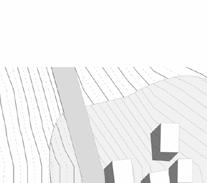
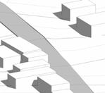
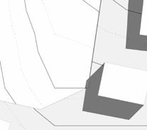
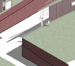
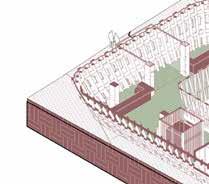
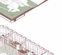
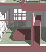
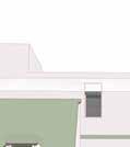
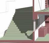
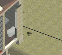
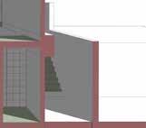
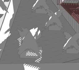
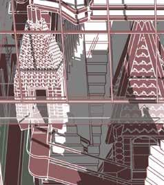
Demolished Building
Focused Building Site - Demolished View
Demolished
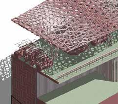
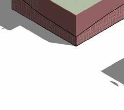
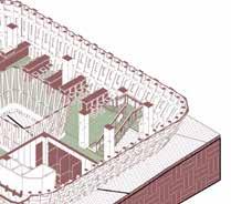
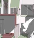
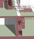
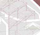
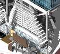
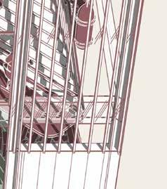
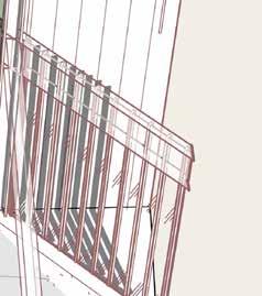
BIM Model for the Proposed Market Platform and Bankside Landscape
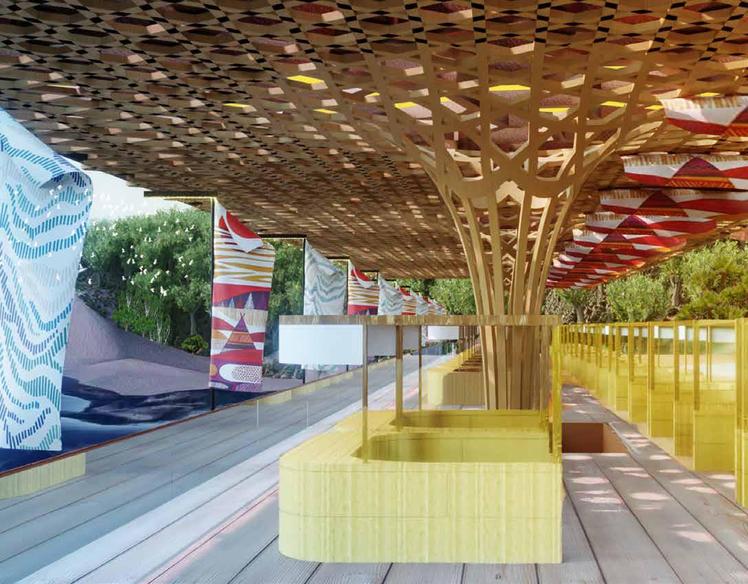
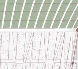
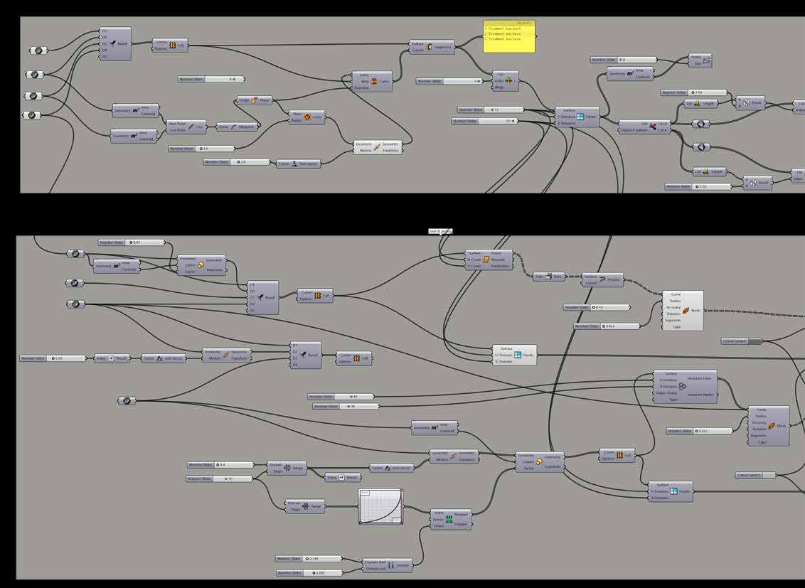
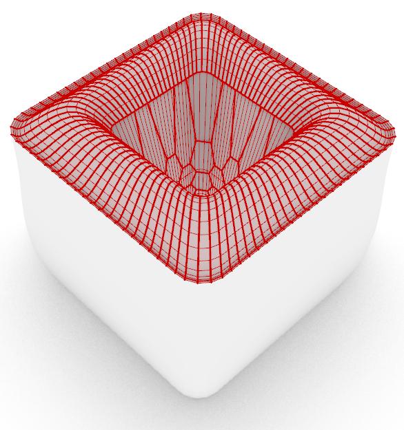
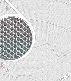
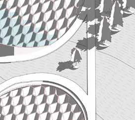
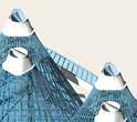
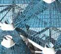
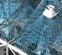
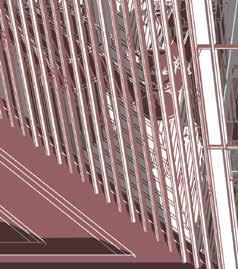
▌ Parametric Design System of Market Coral Pattern
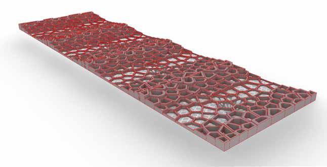
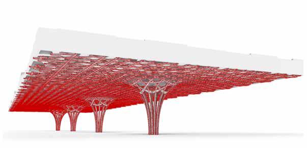
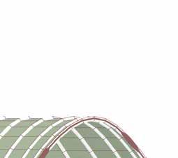
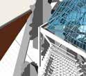
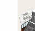
This Grasshopper script generates the Awan Market's canopy structure through a series of parametric operations. Starting with four base points, representing the 'tree form columns', the script creates branching geometry that expands to form the main canopy surface. The canopy's surface is then subdivided into a hexagonal grid, inspired by Amis bamboo weaving patterns. This grid drives the creation of a Voronoi pattern, which is used to define the stainless steel frame and glass panels. The Voronoi cells are sized and distributed to mimic the porous structure of coral reefs, visible from a drone view. The script's output includes the 8-meter high wooden support columns, the integrated canopy surface, and the hexagonal, coral-like glass roof, all driven by adjustable parameters for flexibility and design exploration.
Coral Reef Inspired Market Canopy
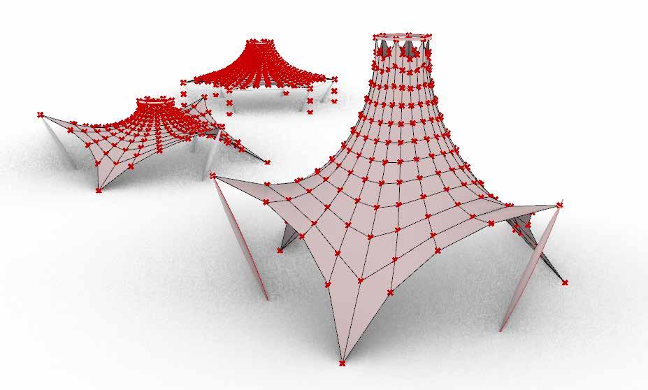
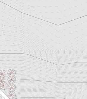
▌ Parametric Design System of Training and Camping Tents
This Grasshopper script generates a series of reconfigurable membrane tents designed for training and camping at the seaside. The script creates hexagonal tent structures, where the form and height are driven by adjustable parameters. Two primary prototypes are implemented: one with alternating ground-fixed and pole-supported corners, and another with all corners fixed and frame-supported at a consistent level. In both prototypes, a central circular opening is lifted by a structural ring. The script allows for precise control over
the ring's elevation, directly determining the tent's overall height. This parametric approach enables rapid iteration and adaptation of the tent's form to suit various programs and activities, while ensuring the membrane structure can withstand rapid weather changes. The script outputs component geometry that can be easily reassembled, reflecting the design's intent for repeated deployment.
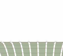
3 Prototypes of Tents
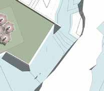
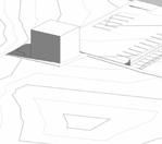
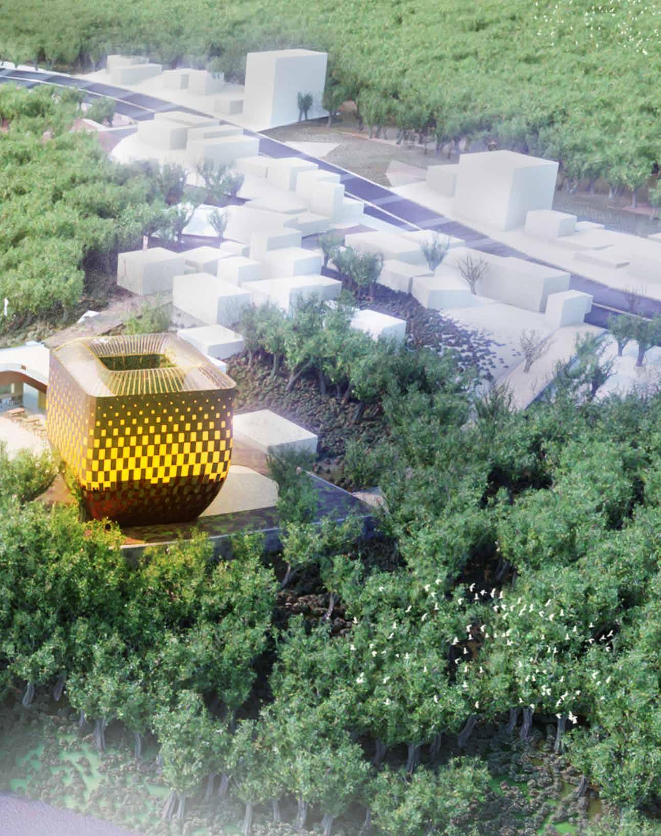
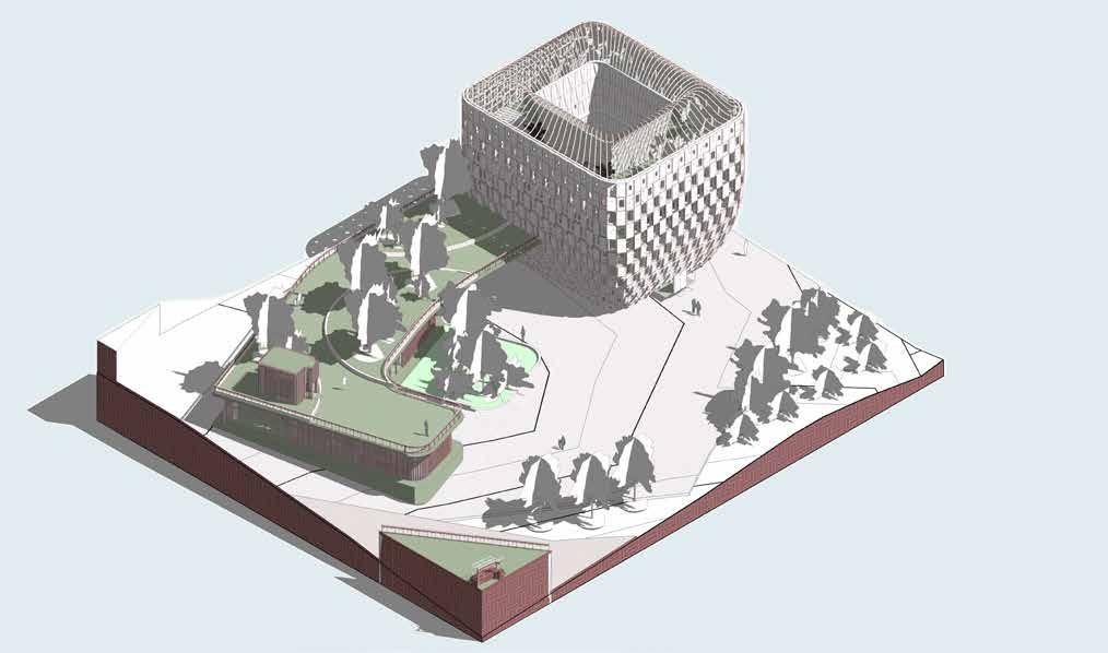
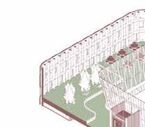
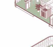
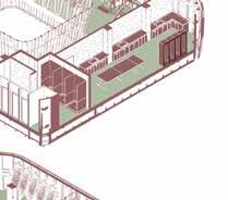
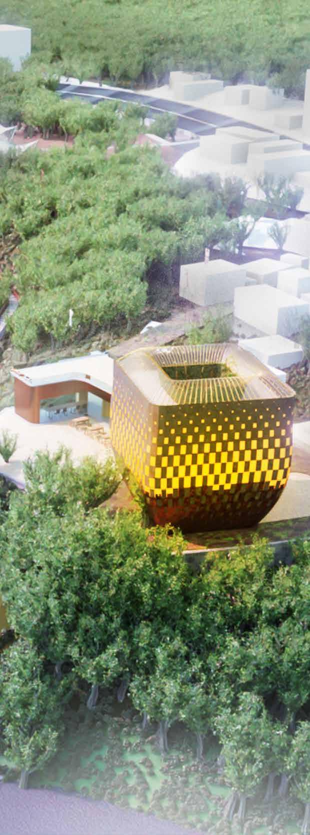
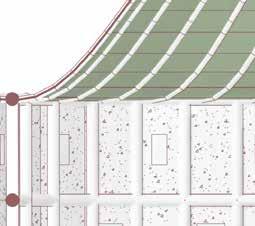
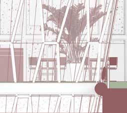
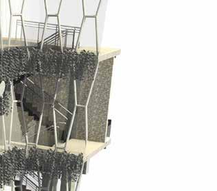
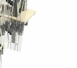
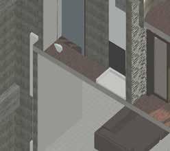
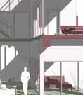
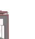
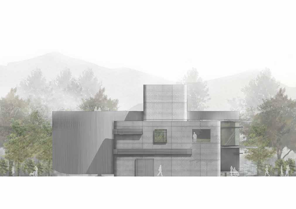
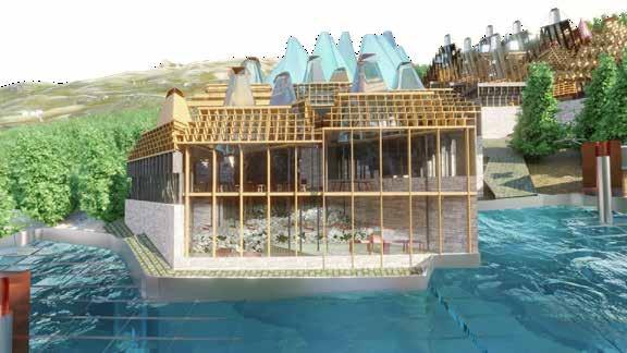
▌ Proposed Community & Tourist Centre
By repurposing the derelicted coast guard office building into a new visitor centre, the proposal is aiming to generate more friendly and practical space for local businesses, especially for those which provides water sports services and authentic Amis aborigional cuisines.
Origionally around 170 sqm, extra estimated 125 sqm is created per floor at the tourist centre by expanding 4meter on both south and north side of the building as well as 3 meter on the both west and east side of the existing building.
The proposed community centre will be combining two exisitng single floor building by creating a joint flat roof. The roof will be providing an around 664 sqm roof garden, which will be given access to general public after the new facility is opened.
Tourist & Community Centre GL Scale 1/400
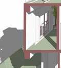
BIM Model for the Proposed Community & Tourist Centre
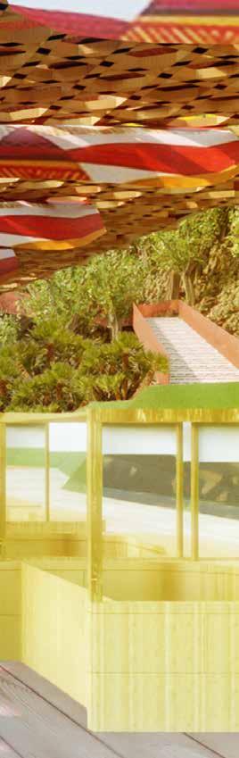
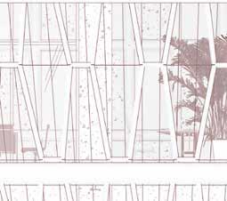
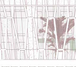
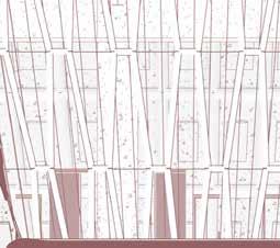
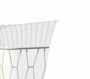
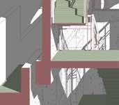
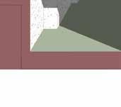
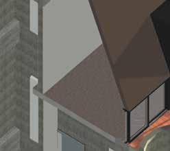
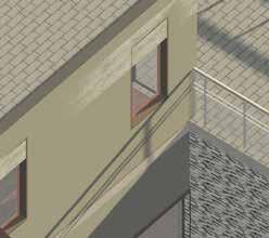
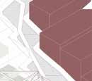
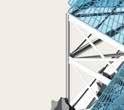
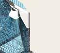
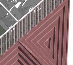
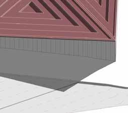
Tourist Centre with Facade Inspired By Taiwanese Lantern and Volcanic Lava
◄ Left
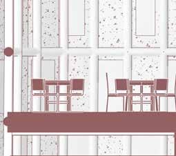
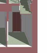
As shown in the section and the explosion diagram in the previous page, the ground floor of the building will mostly be opened to general public, which includes reception for building operation and providing tourist information, cafe and toilet. From L1 to RFL will be semi-public, which can only be accessed by co-work space users, customers of registered local business owner and restaurant customers with reservation.
▲ Above
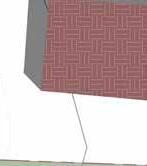
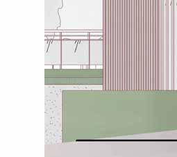
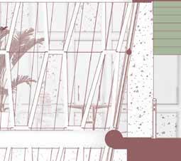
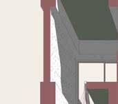
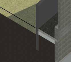
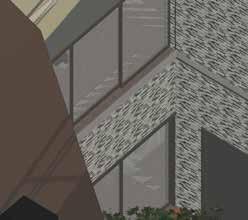
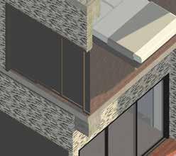
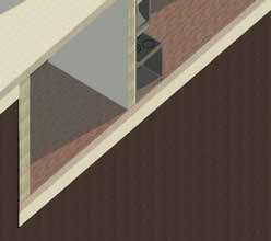
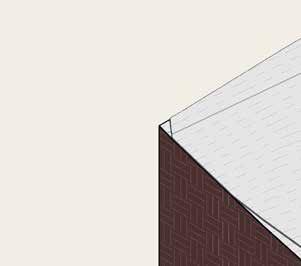
Due to the local seaside condition and tropical-cancer climate of Taiwan as well as earthquakes, the selection of proposed building materials is focused on high-resistency to humidity, reactivity to sun light exposure, resiliency of structural system and environmental sustainablity to sensitive local ecosystem. The natural slate cladding is chosen to reflect on the distinctive volcanic landscape of Awawan, which also has lower carbon-footprint than the other hybrid material. Atrium is proposed to allow natural daylight travel to each floor, which also creates passive ventilation of each floor to reduce the heat and consumption of energy from using AC.
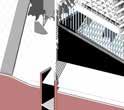
1. Glazing Roof Frame with Carbon Steel 2. Double Glazing Roof with Light-Reactive Coating
Core-Structure: Hexagrid Tube
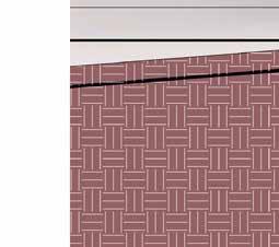
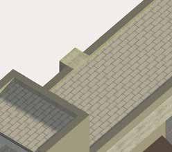
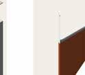
Natural Slate Cladding
Cladding Structural Frame
Double Glazing with Low-E Coating
Prefabricated Concrete Structural Floor
Wooden Floor Finish
Terrazzo Floor Finish
Humidity Resistance Ceiling Tiles
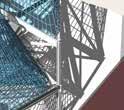
This Grasshopper script parametrically generates the Awawan Community and Tourist Centre's key architectural elements: the conservatory roof garden, the atrium, and the façade. The script begins by creating a curved glass roof surface for the conservatory, driven by adjustable parameters to control its curvature. The surface is then panelized, and a steel framing system is generated to support the glass panels. The script seamlessly transitions the roof geometry into the atrium, which is framed by a parametrically generated hexagonal structural system. Finally, the façade is created as a shell with variable openings. Attractor points along the central horizontal grid line control the size of these openings, with closer attractors resulting in larger apertures. This parametric system allows for precise control over the form and articulation of each element, reflecting the design inspiration from Amis bamboo lanterns and the local starlight scene.
Glass Roof and Atrium Systems
Facade System
▌ Feasiablity Study
Operation ( OT ), Regulation and Feasiablity Study
The feasiablity study emphasised on scoping 3 key regulations and proposing operation models for a future procurement plan to the client. With regulation, the project development is dominated by the Regional Planning Act, Coastal Management Act and Aborigional People's Basic Right Law, which have clear restrictions to land-use amendment, appropriation of pulic lands and development intensity. Regarding operation models, it was crucial to have the business scale aligned with the capability of local business owners. There are already several local water sport tourism business owners; using them as potential operators, together with the client, we came out with specifications and legal procurement requirements that are friendly to those business owners.
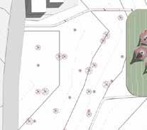
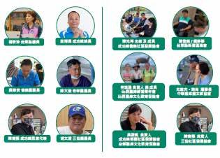
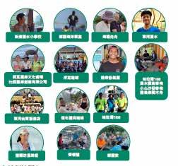
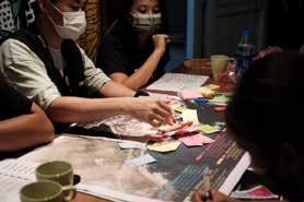
Community Interviews & Workshops
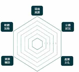
石雨傘整體規畫構想與發展目標之工作思維
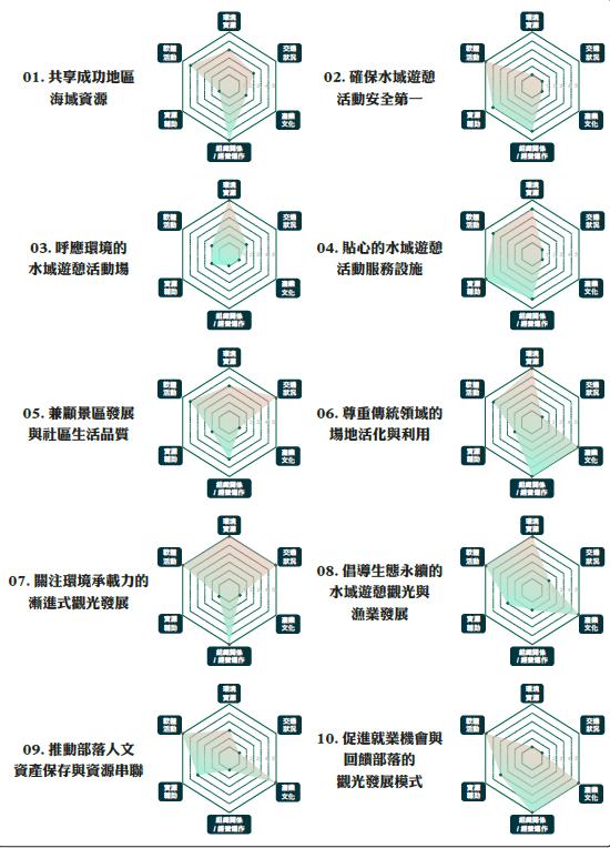
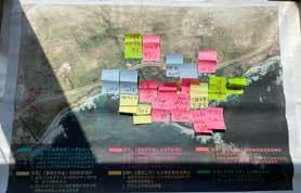
50 % of the master planning project is collecting local communities' opinions under the legal requirement of Aborigioanl People Basic Right Law and Coastal Management Act. We conducted 23 one to one interviews, 3 community workshops and 2 community engagements. The participants ranged from local aborigional committees, trading organisations, business owners to local residents. Among the dicussion, we circled around four principle issues covering the environmental aspect, social aspect, trasport aspect and economic aspect. We also presented our future proposal about how we will achieve the 6 targets including the ecology target, transport target, landscape target, service target, economy target and diversity target. The diagram below shows interesting results about which planning target received the most concerns and expectations from the local communities.
Community Interview Workflow
Environment Carrying Capacity & Development Intensity
Road, Streets and Passages to Be Retained & Developed
TypesofUtilities and Commercial SpacesforTourist Services
Proposed Delivery Timeline of New Development
At the final stage of the project, we suggested a comprehensive timeline for the client indicating the the legal requirements under the Regional Planning Act, Coastal Management Act and all the relavent construction regulations, as well as the process length and potential risks in the procedures.
The master planning proposal was completed in April 2022, and has now moved into applying for land-use amendment and appropriation of public lands. It is estimated that the development will receive planning approval from the competent authority by the end of 2024 and enter the construction stage. If the process goes as planned, the client can procure for operation management by 2027.
1 2
1) Development Delivery Timeline
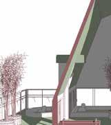
2) Central Promenade Overlooking New Waterfront
Phase 02 Design Concept & Masterplan Development + Community Workshops
Design & Planning Commission Application
+ Local Community Hearings
Phase 01
LandAcquisition via Governmental Lease: Theusablelandonthesite belongs to the 3 governmentalbody,whichincludes NationalProperty Administration, Councilof Indigenous People and East Coast National Scenic Administration (The client)
Phase 02
Application for Changing Land-use Register of Acquired Lands : According to the ‘ Regulations on Non-Urban Land Control’, the lands used for planning are categorised into 3 types of process ,which are‘Non-permission Required’, ‘Planning & Building Permission Required’ and Land-Use Register Conversion Required’
1.Non-permission Required: The land used for campsite, tourist centre plaza, bankside pavements will not need the permission from the relevant planning committees but need to be reviewed by the local government.
2.Planning&BuildingPermission Required Building the bankside market platform will need the submission of planning and building drawings to the Construction & Planning Agency (CPA) as well as a report simultaneously explaining the Coastal Protection Regulation is not violated.
3.Land-UseRegisterConversion Required : To fulfil the regulation controlling building used for commercial purpose, land-register of proposed tourist centre and community centre will need to be changed, subsequently follow the building and planning permission application reviewed by CPA & Coastal Protection Regulation Committee.
Phase 01 Spatial Coordination &Technical Design
Design
Design Proposal
by Related Official Bodies. 7.DesignSign Off 8.Construction Site Preparation 9.Riskand Construction Hazard Mitigation
Phase 02 Manufacturing
1.Construction Site Management.
2.Engineering Design Changes Control 3.Building Design Changes Application
4.Environmental Impact Monitoring
5.Construction DrawingRevision& Coordination.
6.Engineeringand Manufacturing Work Review.
7.Risks and Construction Hazards Control
8.Health&Safety Review Option01. OpenTendering (Whole Park) Option02. OpenTendering (OnlyTourist Centre) Option03. Direct Operation of The Whole Park by The Administration with Open Tendering fortheCafé & Restaurant. Option04.
Build-operatetransfer Contract And Public Works Concession Contract
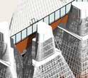
Takoham Regional Planning
Taoyuan City, Taiwan
24°52′50.2″N 121°17′13.5″E
Work Experience Project, 2020-2021
Client: Taoyuan City Hall, Taiwan
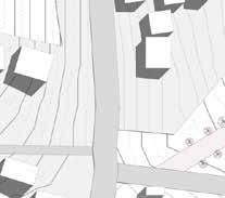
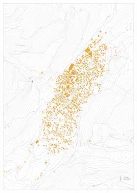
Due to lack of master planning and local consensus of the regional development, Taoyuan City Governement aims to deliver a regional identity and cohesive " brand" integrating all the exisiting local development at the reclaimed land situated in-between Daxi District and Long-Tan District. In the proposal, the brand "Takoham" was suggested based on extensive historic documents and cultural referencing. GIS and national land-use system were widely use to map out the spatial profile of all the development schemes in the region and conclude the physical relationship under the proposed regional identity. The final proposal was to create a guidebook for the lcoal government bodies about how to integrate with different departments in the future and facilitate administrative cohesion.
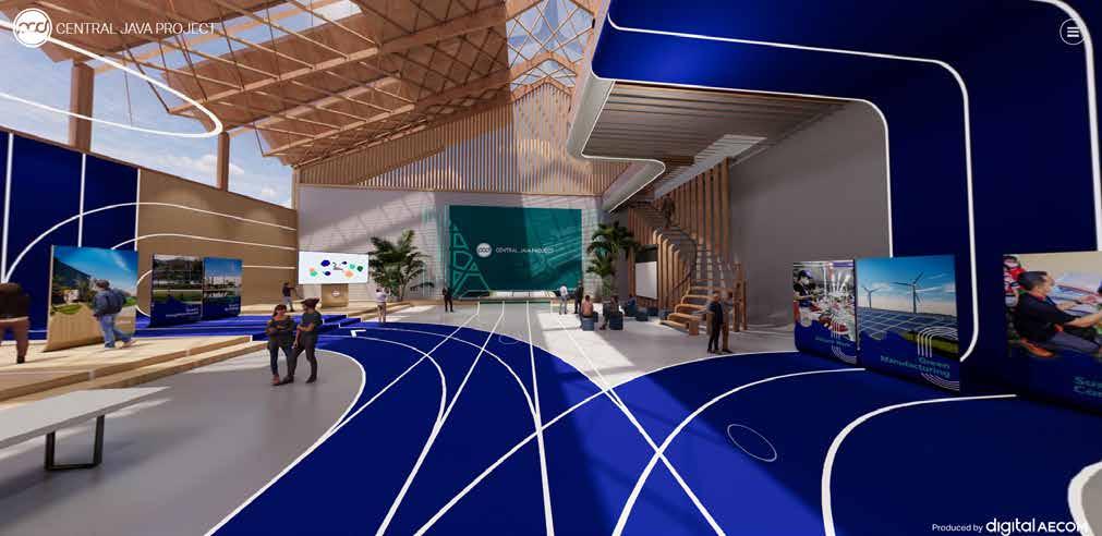
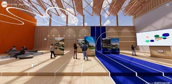
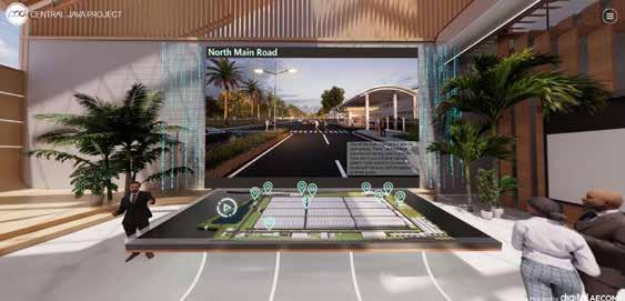
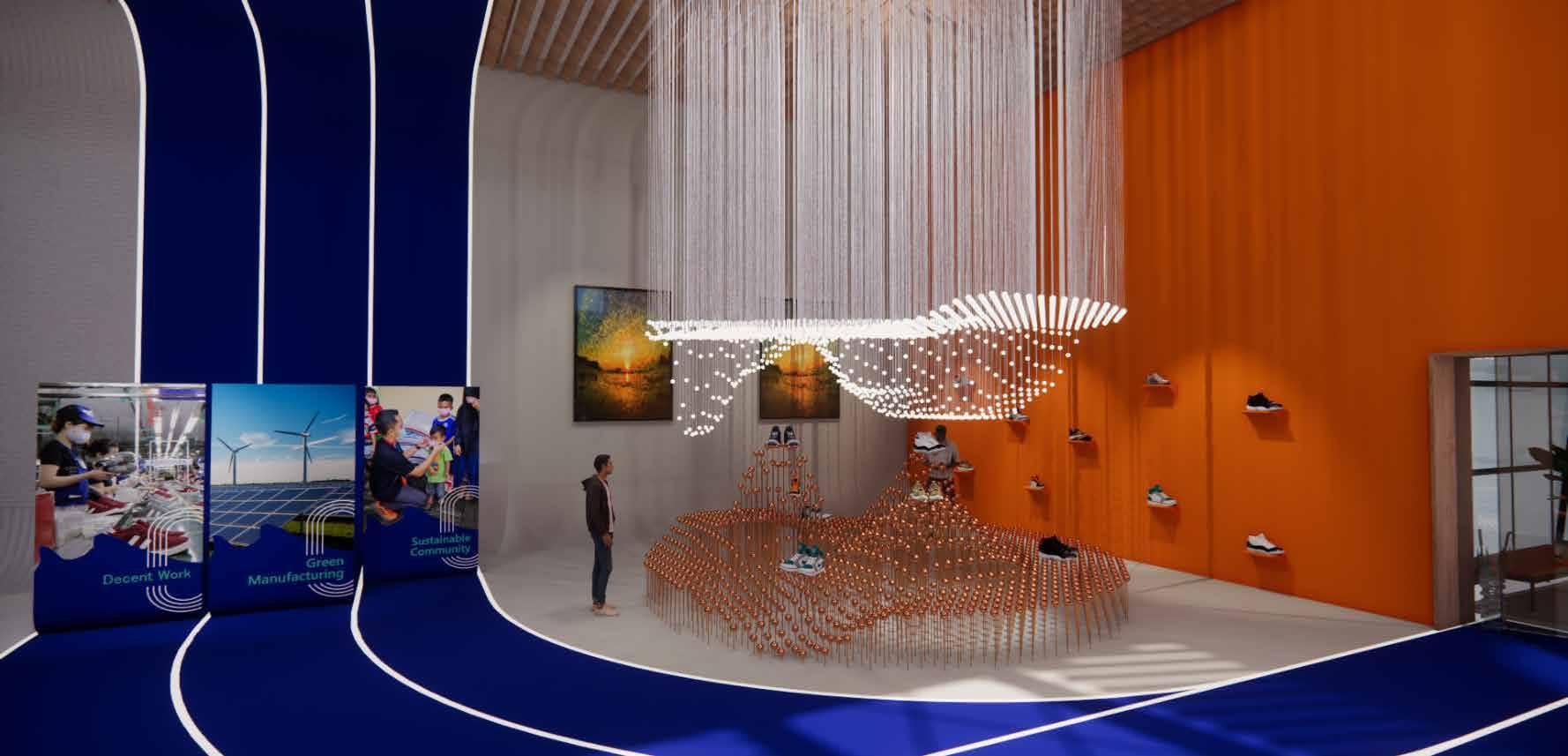
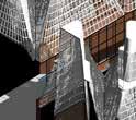
PCG Central Java Industrial Park - VR Showroom
Work Experience Project, 2022
Client: PCG Group, Taiwan
Working with the digital team of AECOM, the VR show room is one of the deliverable products to the client PCG which is one of the major suppliers for big sportwear brands, such as Adidas, Nike, etc. The VR show room aims to showcase the company's value, history, technology in shoes manufacturing and remarkable relationship with clientele. Enscape, Rhino and Twinmotion are the key softwares applied in this product delivery.
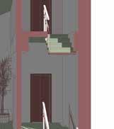
Carrington Street
Work Experience Project, 2019 Client: AVERDEEN OAK
Jin-Shan Casa
Jin-Shan, New Taipei City, Taiwan 51°30'23.0"N
Work Experience Project, 2016
Client: Private
SINICA Eco-Pavilion Drawing Competition
Nangang, Taipei, Taiwan
25°02'25.0"N 121°37'00.8"E
Work Experience Project, 2016
Client: Academia Sinica, Taiwan
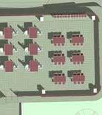
1. Render / Hainan Carpark , Peng-Hu, Taiwan
2. Elevation / Sinica Pavilion , Taipei, Taiwan
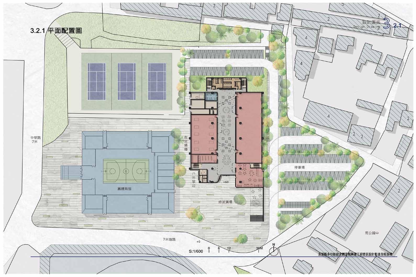
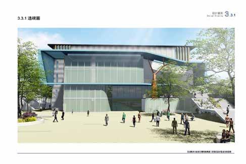
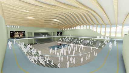
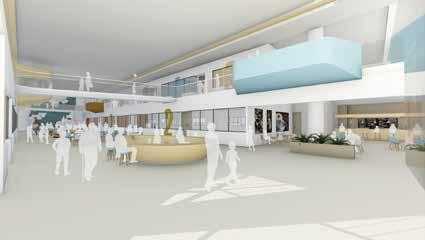
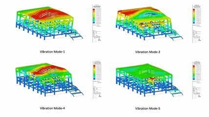
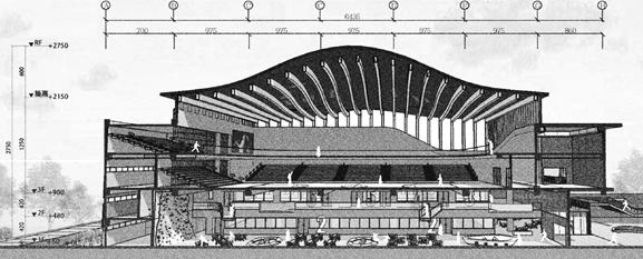
Penghu Sport Centre
Magong, Penghu, Taiwan
23°34'07.6"N 119°34'41.2"E
Work Experience Project, 2016
Client: Penghu County Hall, Taiwan
Magong Sport Centre. Peng-Hu, Taiwan
3. Render / 4. Structure Test / 5. Plan / 6. Section
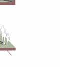
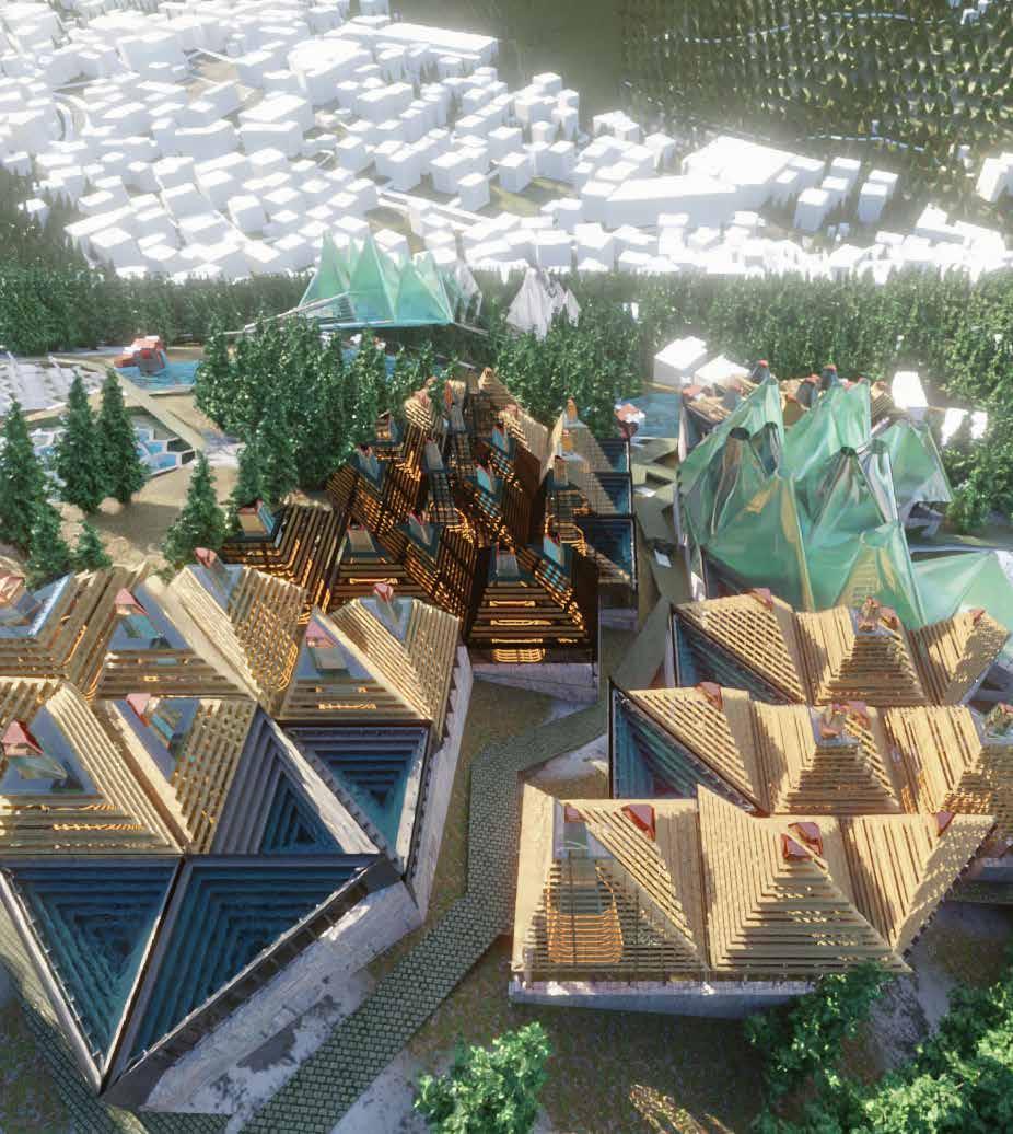
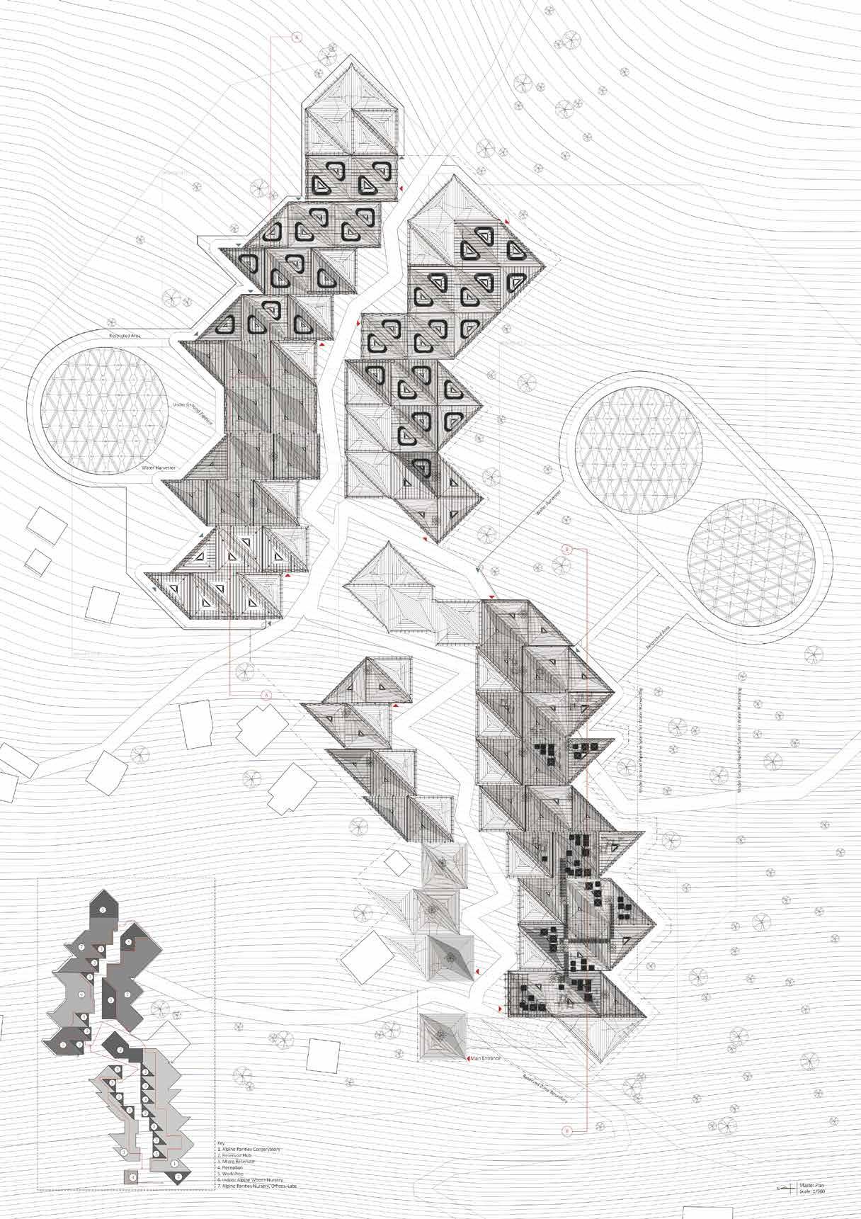
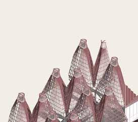
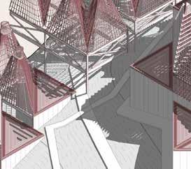
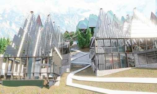
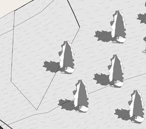
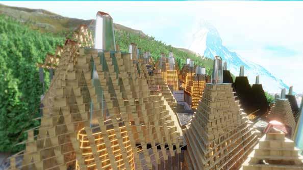
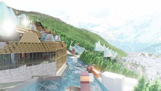
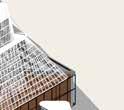
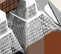
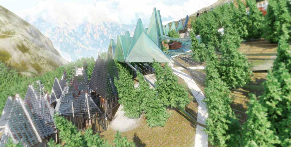
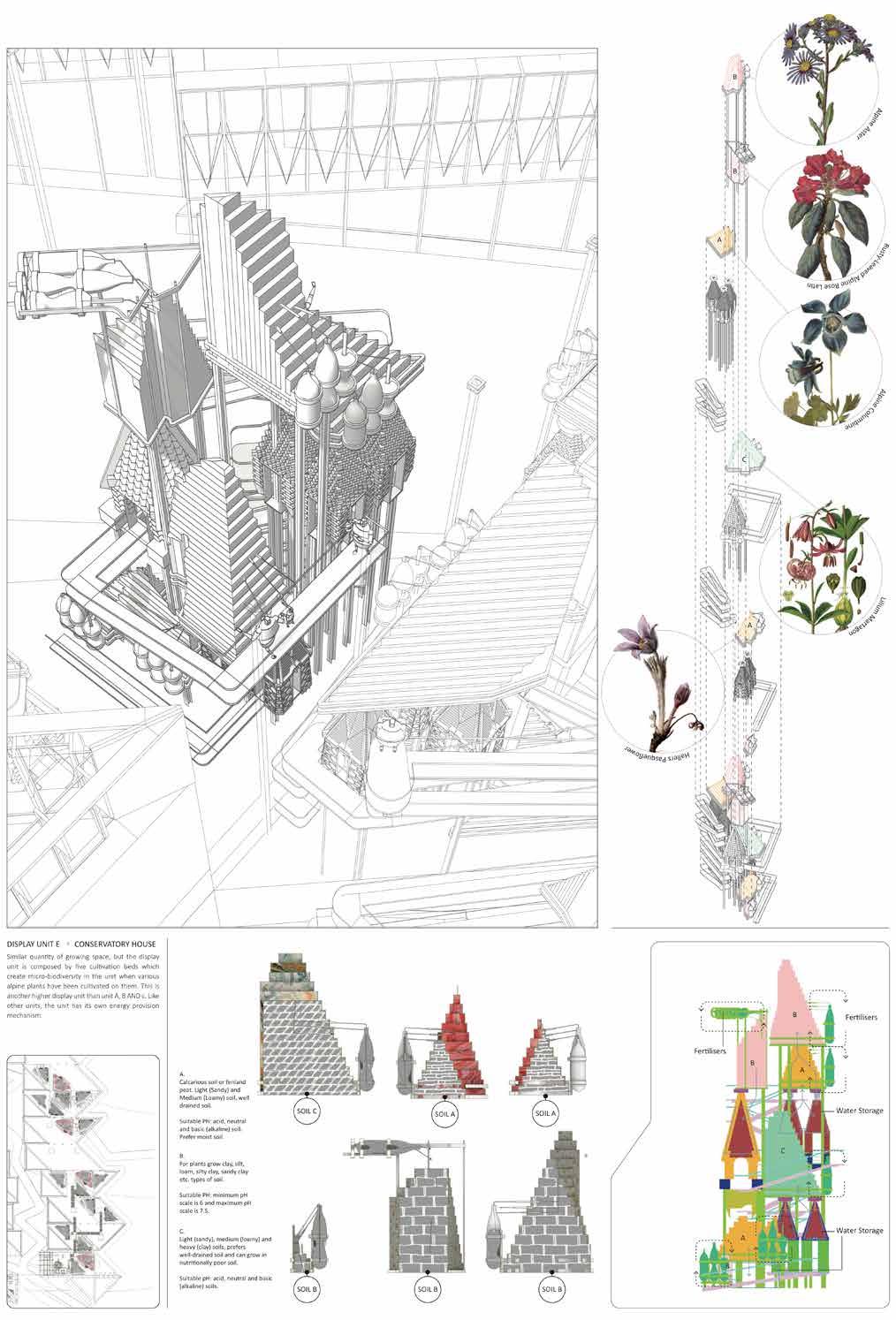
ALPINE BOTANIC CITY
Zermatt, Switzerland
46.0207° N, 7.7491° E
Student Project, 2018- 2019
The project surrounds by the utopian discussion of how landscape and built environment in the future can provide an environmentally harmonious world for the human and nature under the circumstance that the relationship in between human being and nature is extremely sensitive nowadays because of climate change.
The site of the project specifically has been chosen at Zermatt where is facing debates in between climate change and the development of tourism. The impact of the climate change can be evidenced by the chnage of vegetation pattern at the Alps discovered by scientists, which includes the growing forestation, invasion of foreign spieces and disapearing of alpine flora. Thus, in this project, I propose a alpine conservatory landscape that can conserve the local trees and authentic rare flora.
ZERMATT , SWITZERLAND
▌ Lower Campus
The idea of the project is having conservatory serves as a time- capsule in architectural scale containing authentic alpine climate and allows the delicacy of alpine plants to colonise over the tourist area of Zermatt and become a crystal city that replace the existing resort landscape.
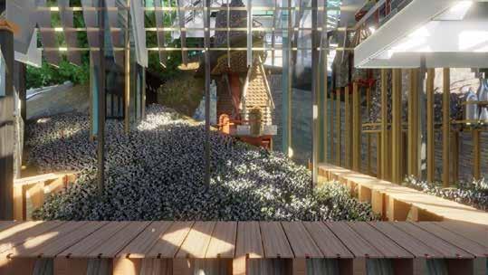
The project focuses on the intimacy in between the conserved alpine plants and visitors. The composition and curation of each cultivation beds are aiming to provide a world that people can immerse and surrounded by the delicacy of alpine flora and authentic trees.
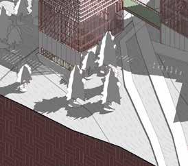
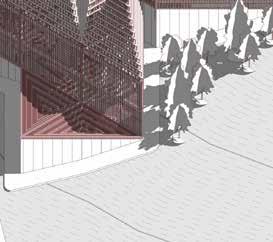
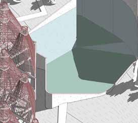
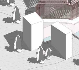
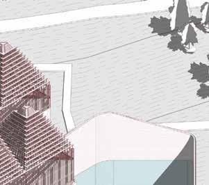
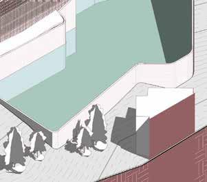
Developing along the exisiting mountain pathways and roads in the chosen site, the whole conservatory campus is divided into lower campus and upper campus. The lower campus consists of programmes for external purposes, which includes a visitor centre as main entrance to welcome visitors, first part of the conservatory and tree conservation zone. Well using the advantage of the natural water resource from snow and rain, there are 3 water harvestors and 2 reservoirs in the developed site. 2 of the harvestors and 1 reservior are designated to support the lower campus.
▌ Alpine Conservatory Lower Campus
▌ Main Entrance & Central Hiking Paths
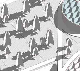
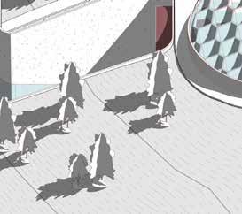
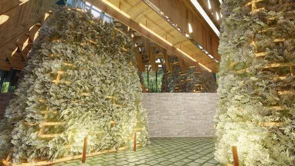
▌ Alpine Flora Garden in the Conservatory
▌ Water Harvestors & Revervoir for Lower Campus
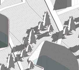
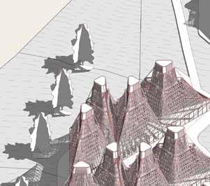
▌ Upper Campus
The upper campus consists of programmes for both external and internal purposes, which will be followed by the access control strategy of the project. The area allowing visitors to access are at the lower area of the Upper Campus, which includes workshops, cafe, shops, galleries and libraries. The area that is for internal purpose and forbids visior accessing are at the upper level of the Upper Campus, which includes alpine forest conservation zone B, botanic nursery and researchers' labs. Similar to the lower campus, the upper campus also consists of 1 water harvestor & 1 reservoir. The reservoir is located at the lower area of the upper campus next to the building complex for workshops based on the gravity of nature.
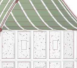
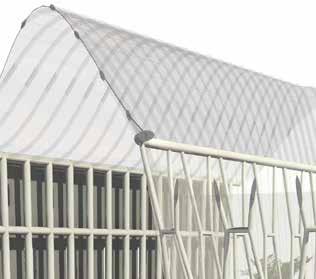
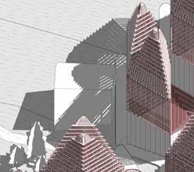
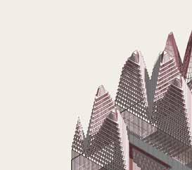
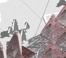
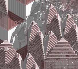
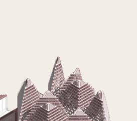
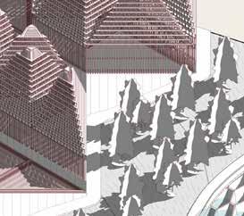
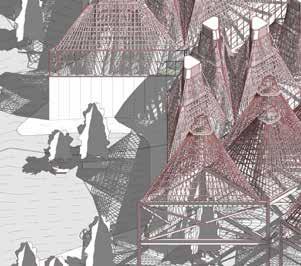
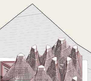
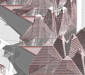
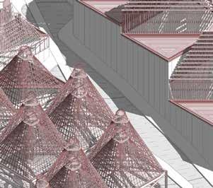
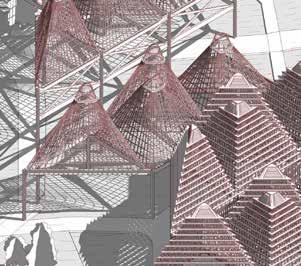
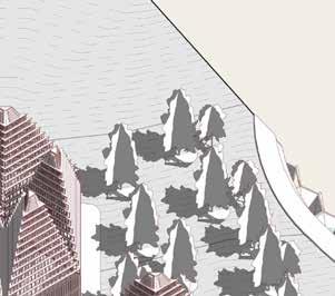
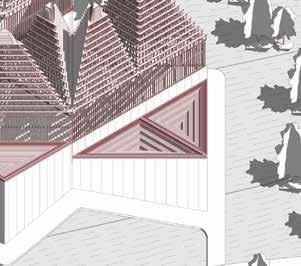
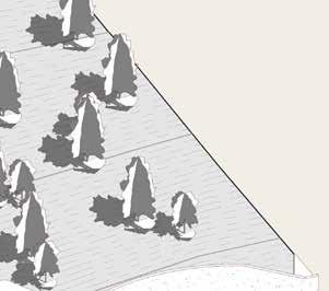
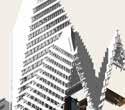
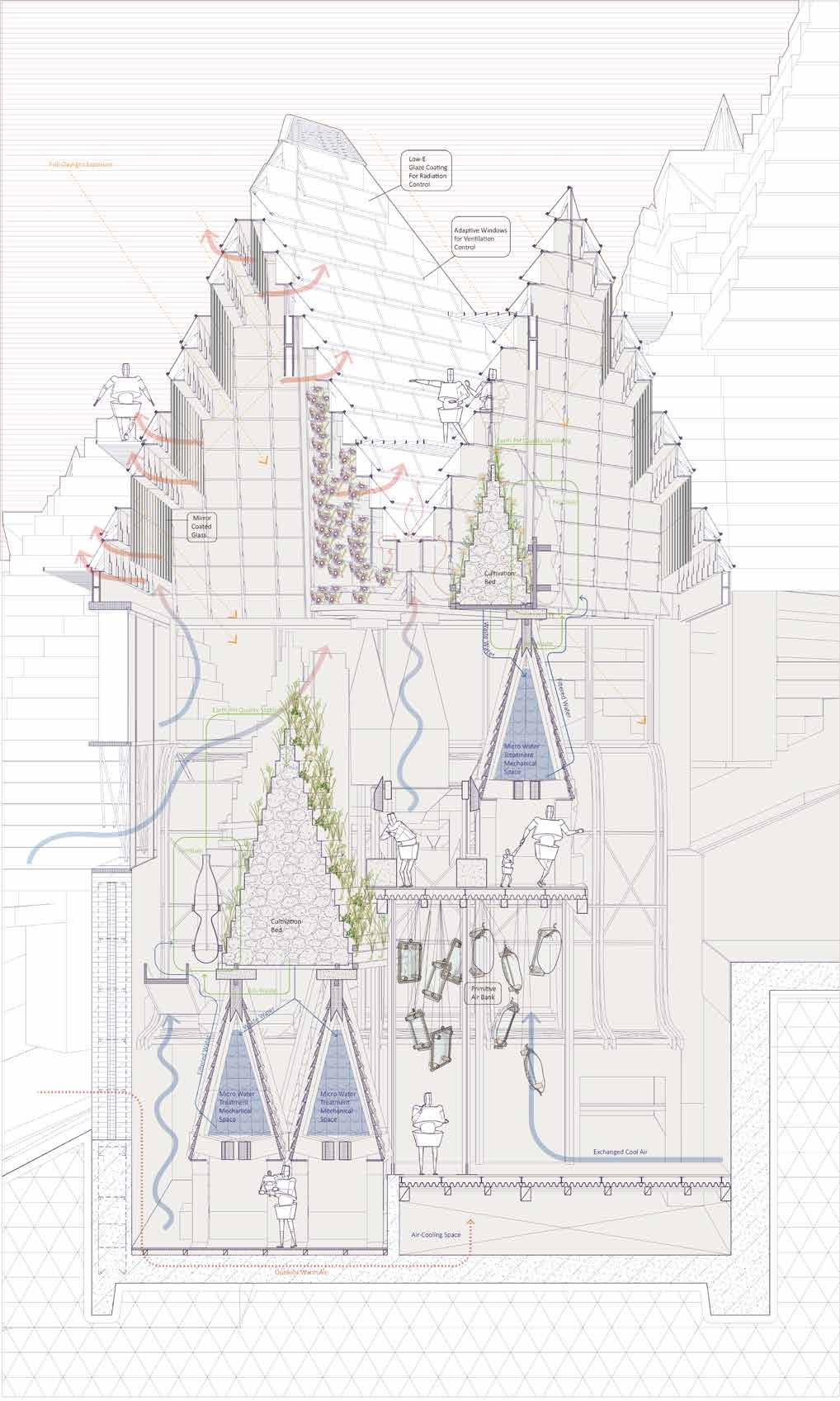
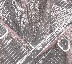
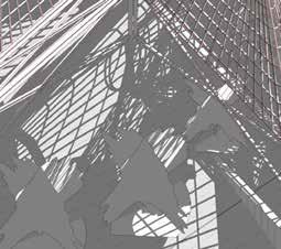
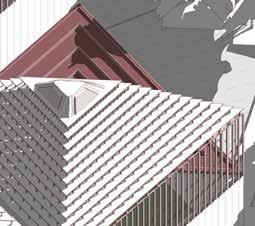
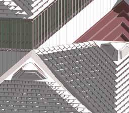
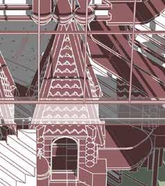
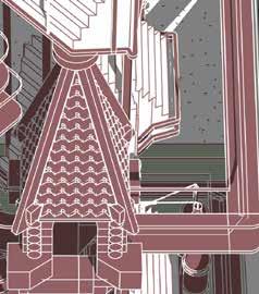
The roofs of the buildings take significant part through out the whole design development. The pyramid shape shape roof is generated from the traianglation of the rectangular building masses used in the master-planning stage. In response to the sustainable aspect of the design, the geometry of the roof causes lower wind resistency and allows air flow through buildings efficiently. The tallroof-peak design induces stack-effect inside buildings in order to regular the indoor temperature without using too much machines and energy. Speculating the different needs among conservation for flowers, botanic labs and conservation for trees, three prototypes of roofs have been proposed in this project.
Diagram 1
BIM Model - Isometric Plan / Alpine Flora Conservatory & Visitor Centre, Lower Campus