5 minute read
Great Smoky Mountains National Park


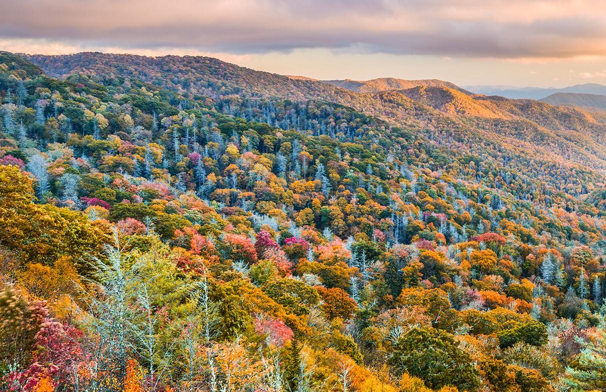
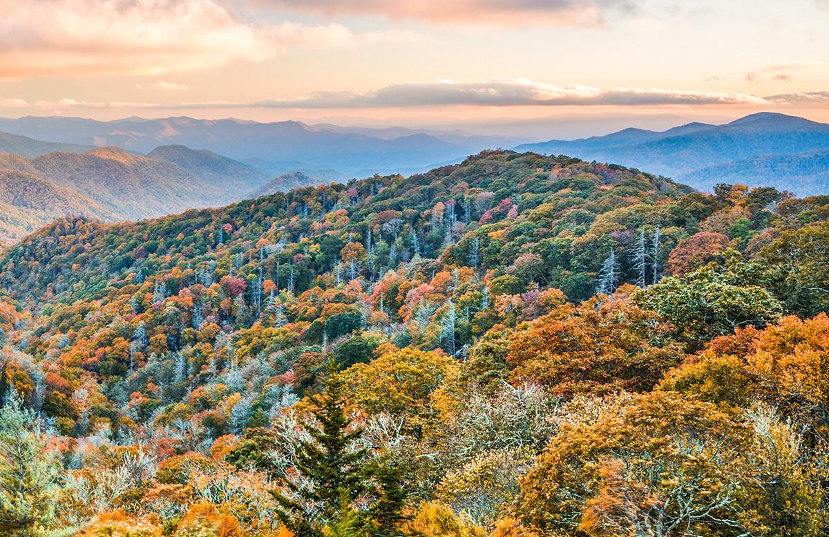
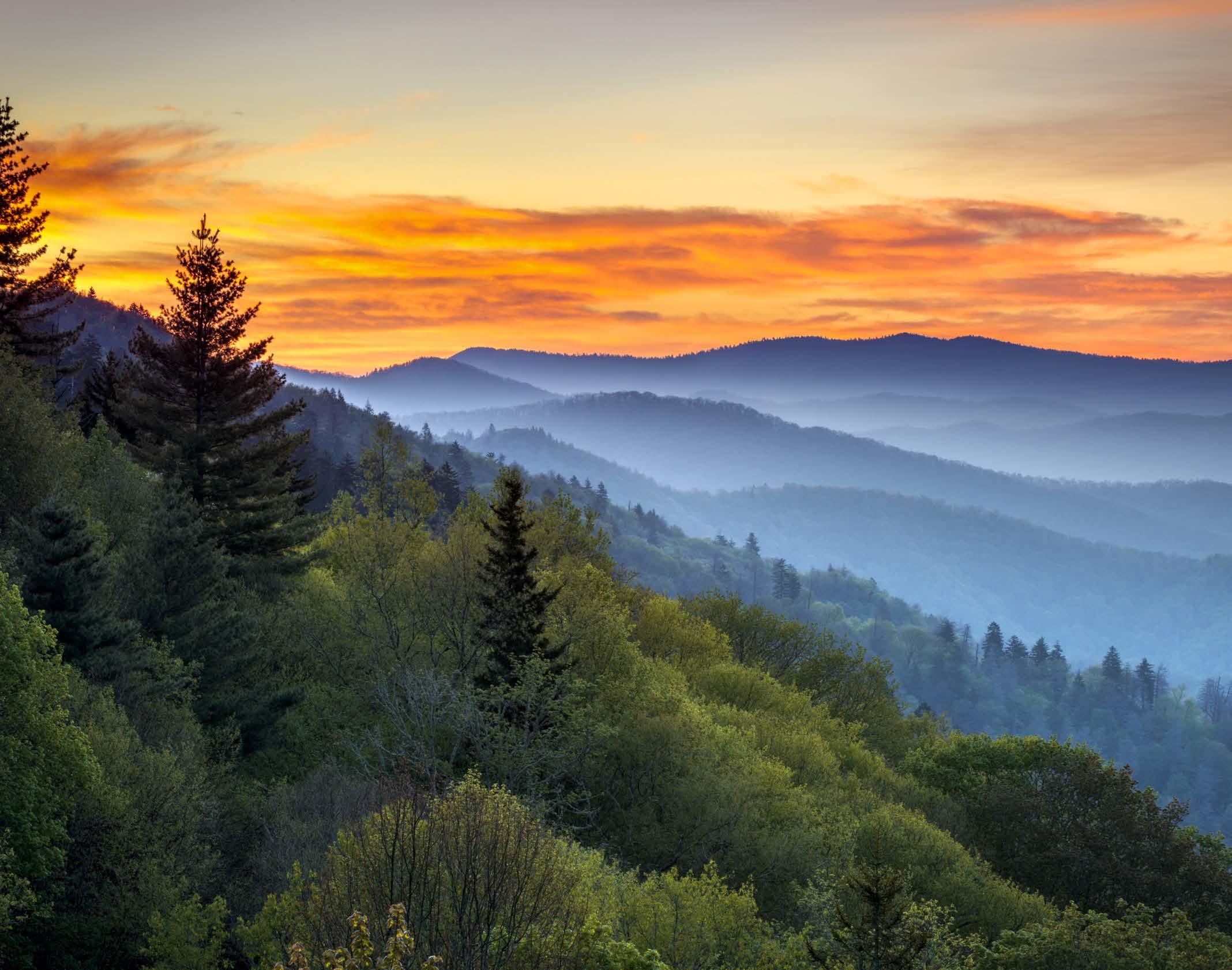
Straddling the border between North Carolina and Tennessee, Great Smoky Mountains National Park is best-known for its misthung peaks and valleys, incredible biodiversity, bountiful, leafy forests and proliferation of year-round wildflowers.
Featuring a segment of the Appalachian Trail, plentiful streams, rivers and waterfalls appear along hiking routes.
There is an observation tower atop Clingmans Dome, the park’s highest peak, offering sky-high panoramas of the ancient, fogshrouded mountains.
Preserving rich Southern Appalachian history, the human history in the park dates back thousands of years, from the prehistoric Paleo Indians to early European settlers, loggers and — in the 20th century — the Civilian Conservation Corps.
The Flora And Fauna
The most biodiverse park in the National Park System, Great Smoky Mountains protects over 19,000 documented species, though experts believe an additional 80,000100,000 species may live within the 800-square-mile boundary.
Set in the Southern Appalachian Mountains, no other area of equal size in a temperate climate hosts this level of diversity. In fact, there are more than 1,000 species never seen anywhere else in the world.
With elevations ranging from approximately 875 to 6,643 feet, the park’s gently contoured mountains — formed as far back as 300 million years ago — are blanketed in plants. In fact, about 95% of the park is forested, 25% of that land consisting of old-growth trees. Of those, 100 kinds are native to the Smokies.
Additionally, 1,600 flowering plant species — many rare or endangered — have been identified in the park, as have 200 species of birds, 68 mammal species, 67 native fish species, 39 reptile species and 43 species of amphibians. As the “Salamander Capital of the World,” you can also keep watch for 24 species of these amphibians alone.
As its unofficial mascot, about 1,500 American black bears roam the landscape, totaling — if you can believe it — two per square mile.
Rising from warm lowlands, it’s cool and moist in the park’s highest elevations, allowing many northern species to live farther south than they would otherwise. That includes the red squirrel, flying squirrel and rock vole.
These creatures are joined by a dizzying array of wildlife that is threatened, endangered or of special concern, like grey, northern longhorned and Indiana bats; rustypatched bumble bees; and yellowfin madtoms.
The Weather
Given its wide range of elevations and varied topography, weather can differ drastically here, depending on where you are. Expect a 10 F to 20 F difference from the base of mountains to their peaks.
Rain in the park is significant. Averaging 55 inches of rainfall per year in the lowlands, the Smokies pinnacle, Clingmans Dome, averages 85 inches annually.
From March through May, expect unpredictable, rapidly changing weather. Hazy June through August ushers in heat and humidity, plus common afternoon showers and thunderstorms. Although the winter months — mid-November through February — are moderate, extremes do occur, with snow in the highest elevations and warm temperatures down low. Perhaps the most beautiful time to plan a visit is fall, with its cooler weather and the onset of fall colors.
Current weather conditions are available on the park’s website or by phone at (865) 436-1200, ext. 630.
The Hikes, Drives and Viewpoints
Alum Cave Trail To Mount Leconte
Located near Gatlinburg, the 11mile, out-and-back Alum Cave Trail to Mount LeConte, is challenging, combining geological wonders with history, unforgettable panoramas and high elevation adventure — not to mention an elevation gain of 2,763 feet.
Rainbow Falls Trail
Extending 5.4 miles, the Rainbow Falls Trail journeys from the Roaring Fork area through dense forest to its plunging, eponymous, 80-foot-tall falls.
Laurel Falls Trail
The longest of four paved trails in Great Smoky Mountains National Park, the 2.4-mile Laurel Falls Trail ascends Cove Mountain, past Laurel Falls and to the summit of Cove Mountain, where the Cove Mountain fire tower resides.
Chimney Tops Trails
Steep and utterly breathtaking, the 3.6mile Chimney Tops Trail gains 1,400 feet in elevation, crossing rushing streams and ascending the steep mountainside, with views of Mount Le Conte. Note that the upper portion of this trail is closed due to fire damage.
Clingmans Dome Observation Tower Trail
For soaring vistas, hike the 1.3-mile, out-and-back Clingmans Dome Observation Tower Trail, which takes you to the highest point in the park for 360-degree views of the Smokies and beyond.
Clingmans Dome Road And Cades Cove Loop Road
With 384 miles of road to choose from in the Smokies, there are many ways to explore by car. Clingmans Dome Road, for example, brims with scenic pullouts overlooking ridges and valleys, culminating in a steep, .5-mile trail up to the summit if you choose. By contrast, a drive along Cades Cove Loop Road reveals some of the park’s best wildlife, though it is closed to vehicles from May through September.
About The Park
Location - Borders North Carolina and Tennessee
Established - June 15, 1934
Area - 522,427 acres


