4 minute read
Hot Springs National Park


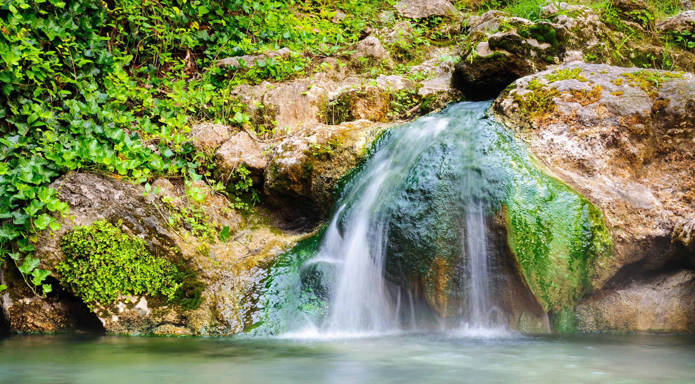
Mountainous and marked by ancient thermal springs, Hot Springs National Park has something for everyone, from a rich cultural past to historic bathhouses, jaw-dropping geology and pine, oak and hickory forests cut by creeks.
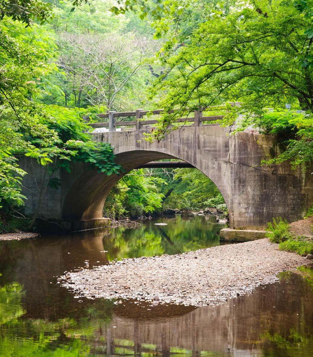
Spanning a nearly 5,400-acre preserved area surrounded by the Ouachita National Forest, adjacent to the city of Hot Springs, Arkansas, its waters ultimately are managed to conserve the production of uncontaminated hot water for public use.
Having become a United States territory in 1803 as part of the Louisiana Purchase and designated as Hot Springs Reservation in 1832, its verdant valleys, rocky mountains, densely forested slopes and novaculite outcrops also offer a welcome habitat for a wide array of species.
The Flora And Fauna
An integral sanctuary for over 50 species of mammals — including groundhogs, white-tailed deer, squirrels and chipmunks — the park is also a haven for about 50 fish species and more than 70 kinds of reptiles and amphibians, many of them most active at night. Given Hot Springs’ woodland landscape, wildlife viewing is most visible during winter, when deciduous trees have dropped their leaves.
Outside of the Bathhouse Row National Historic Landmark District, expect to mostly encounter forested hills and valleys, with a smattering of vibrant wildflowers when spring arrives.
Lush grasses serve as food for resident wildlife, while mosses and liverworts help stabilize and regulate the soil. Be sure to pause and appreciate the seasonal southern magnolias along the promenade at Bathhouse Row. Also, keep watch for lush foliage — including ferns, spleenworts and diatoms — near thermal springs.
The Weather
Featuring fairly mild weather all year long, temperatures in Hot Springs can range from about 90 F to less than 27 F. Summers tend to be hot and humid, between 80 F and 90 F, with the potential for sudden changes in conditions.
Meanwhile, March through May sees average lows of 43 F to 61 F and highs up to around 82 F. From September through November, low temps generally range from 42 F to 64 F, with highs that hover between 63 F to 86 F.
Bundle up accordingly when visiting in the winter — lows of 15 F give way to daytime highs between 52 F and 56 F, with the potential for some ice or snow.
Although weather at the park is less tumultuous than many of its counterparts, it’s still a good idea to be aware of the day’s conditions.
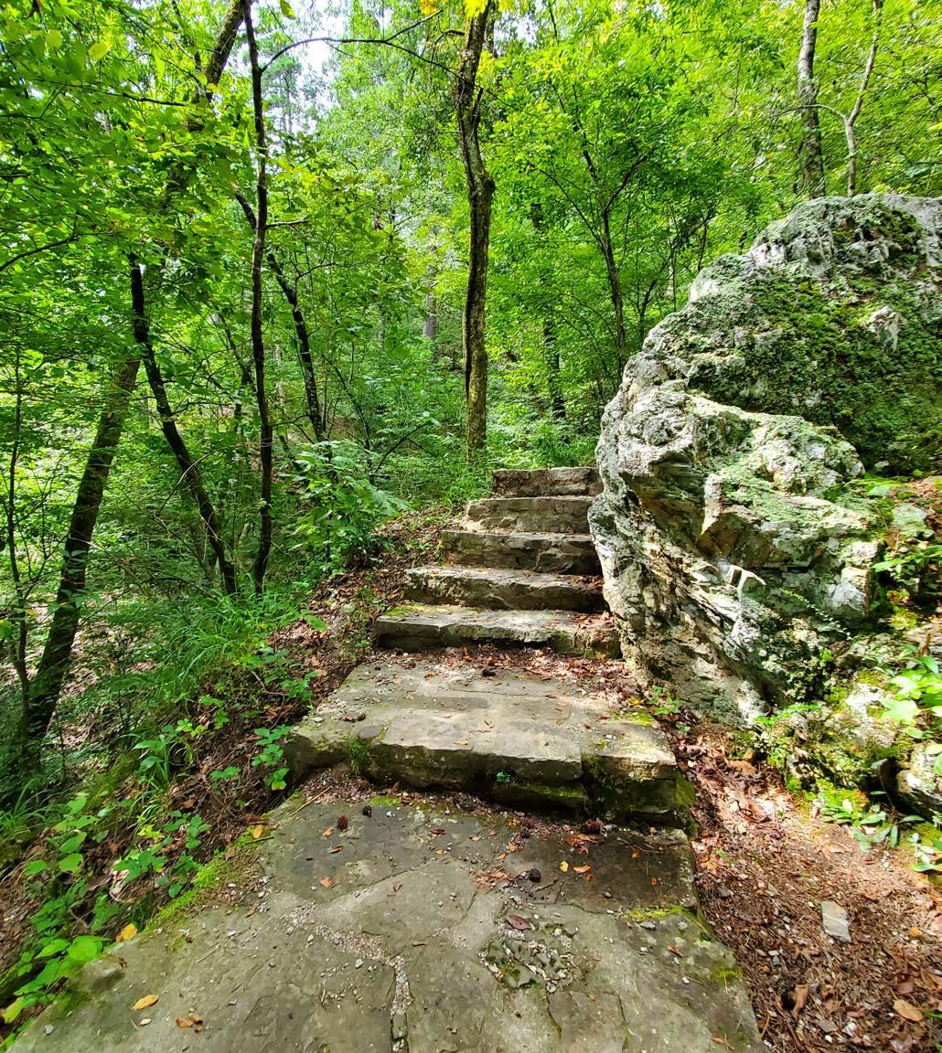
THE HIKES, DRIVES AND VIEWPOINTS
Goat Rock Trail
Set in the center of the park, the moderately challenging, 2.4-mile, out-and-back Goat Rock Trail journeys through the forest to a vista with Ouachita Mountain and Gulpha Gorge views.
West Mountain Trails
Traverse the interconnected, dirt West Mountain Trails through deep forest, reached via Whittington Park and Canyon Trailheads, perhaps tackling the 3.3-mile loop around the top of the mountain.
Sunset Trail
The 13-mile Sunset Trail — among the park’s most challenging — serves as a peaceful respite from the crowds. Crossing diverse, remote terrain, it’s divided into three sections: West Mountain (2.8 miles), Sugarloaf Mountain (2.6 miles) and Stonebridge Road (3.8 miles).
Hot Springs Mountain Trail
A 3.3-mile loop, the Hot Springs Mountain Trail meanders through rolling hillsides and deciduous and coniferous forests, with sweeping vistas of central Arkansas from atop Hot Springs Mountain Tower.
West Mountain Scenic Drive
Prefer a picturesque drive? Motor along West Mountain Scenic Drive, built as a carriage road in the 1880s. Beginning at the end of Fountain Street off Central Avenue downtown, it features pause-worthy overlooks, a picnic area and — up top — an outcrop of Arkansas novaculite. Used by the Caddo peoples for making tools and weapons, it was later utilized by European settlers for whetstones. Next, for an aerial view of Bathhouse Row and the former Army-Navy hospital, follow North Mountain Scenic Drive, which has entrances on Prospect Avenue and Whittington Avenue.
About The Park
Location - Central Garland County, Arkansas
Established - March 4, 1921
Area - 5,500 acres