

COACH HILL PATTERSON HEIGHTS

Acknowledgements
In the spirit of reconciliation, Vision 21 Planning acknowledges that we live, work and play on the traditional territories of the Blackfoot Confederacy (Siksika, Kainai, Piikani), the Tsuut’ina, the Îyâxe Nakoda Nations, the Métis Nation (Region 3).
Calgary is situated where the Bow and Elbow Rivers meet. The traditional Blackfoot name of this place is Moh’kins’tsis.
Professor: Dr. Beverly A. Sandalack [Instructor I University of Calgary]
Steering Committee: Talena Klypak: President, Coach Hill Patterson Heights Community Association
Inam Teja: Vice President, Coach Hill Patterson Heights Community Association
Benjamin Bailey: MPlan, RPP, MCIP, Senior Planner, Community Planning: North, The City of Calgary
Asia Walker: MPlan, RPP, MCIP, Planner, Community Planning, North Planning & Development, The City of Calgary
Eric Schertzer: MLA Associate, Urban Design, Stantec


Bhavana Chaudhary, BArch, MPlan Candidate
Bhavana has a background in architecture from India and the Middle East. She has experience in residential architecture, planning research for sustainable communities and engagement. Her work has included designing and leading large-scale development projects, designing education for children and youth, and street activation through public outreach.
Jeremy Pham, BArch, MPlan Candidate
Jeremy has a background in architectural studies and urbanism from Ottawa. He has experience working in design education and in the non-for-profit planning sector. His work has included community outreach and programming for underprivileged families and design education for children and youth.

Sahil Kadiwar, BArch, MPlan Candidate
Sahil has a background in architecture from Mumbai, India. He has experience in commercial architecture and planning research. His work has included large-scale residential and commercial projects and research on spatial asset models for downtown revitalization work. He is interested in people oriented design and enjoys working with multidisciplinary teams
Tiffany Deobald, BA, MPlan Candidate, LEED Green Associate
Tiffany has a background in theatre, film and urban studies from Toronto and Calgary. She has experience working in non-for-profit and public planning sectors. Her work has focused on downtown revitalization research, transit station activation projects and affordable housing development.
Executive Summary
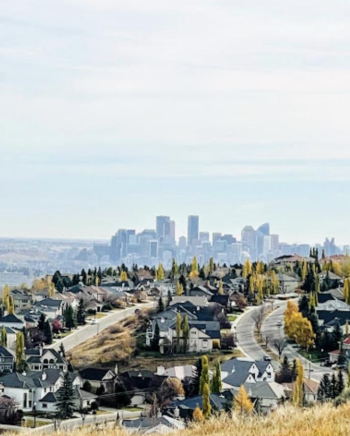
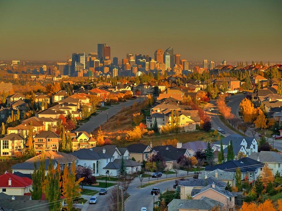
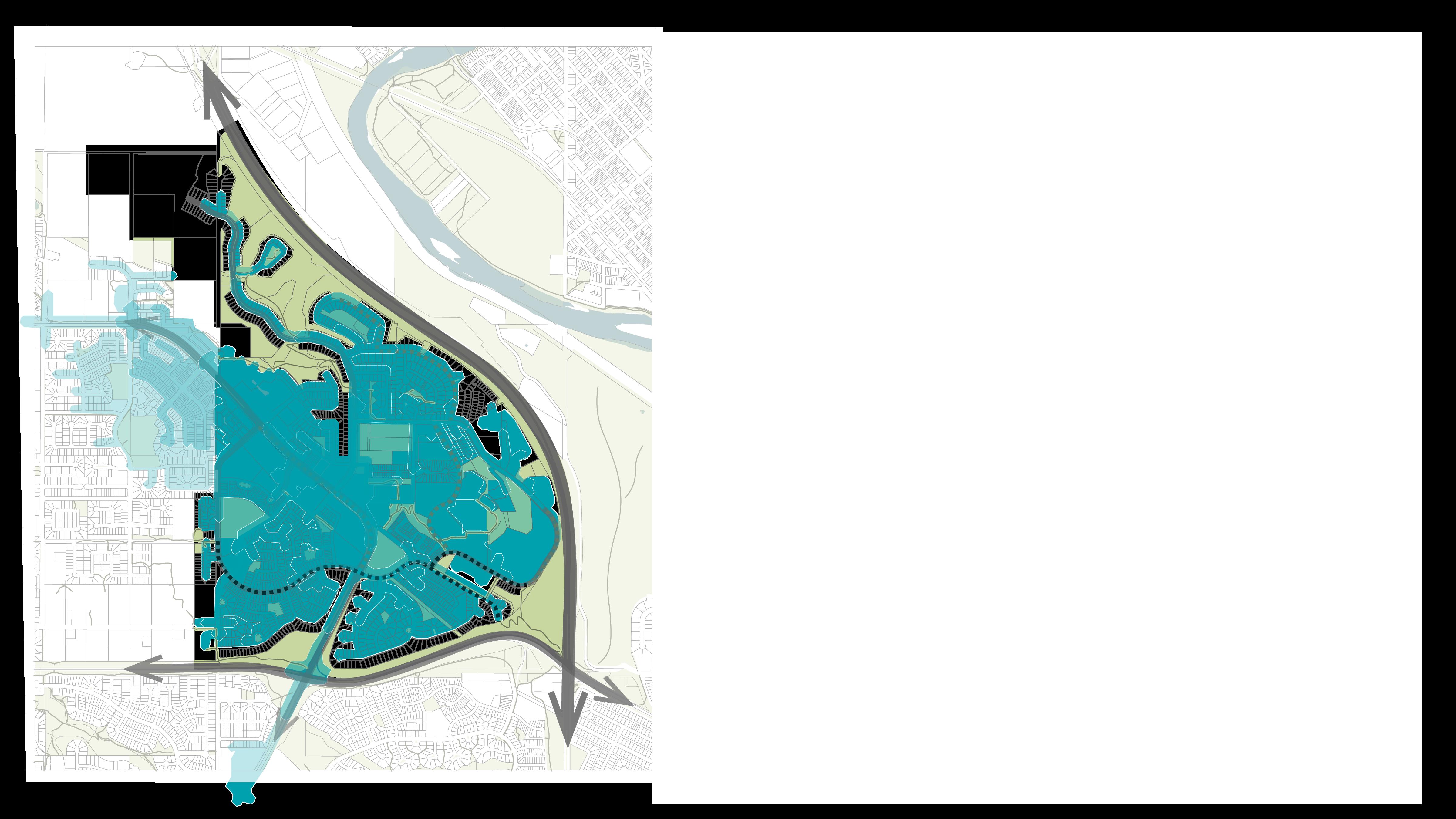
The southwest neighbourhoods of Coach Hill Patterson Heights boast a unique history. Their location west of the Bow River makes them wellconnected to Calgary’s trail networks, open spaces, and the best views of Calgary’s downtown.
The neighbourhoods were developed in the 1970s and 1980s. They now face key challenges that will impact their ability to attract future residents, support their original community members, and protect their historic assets.
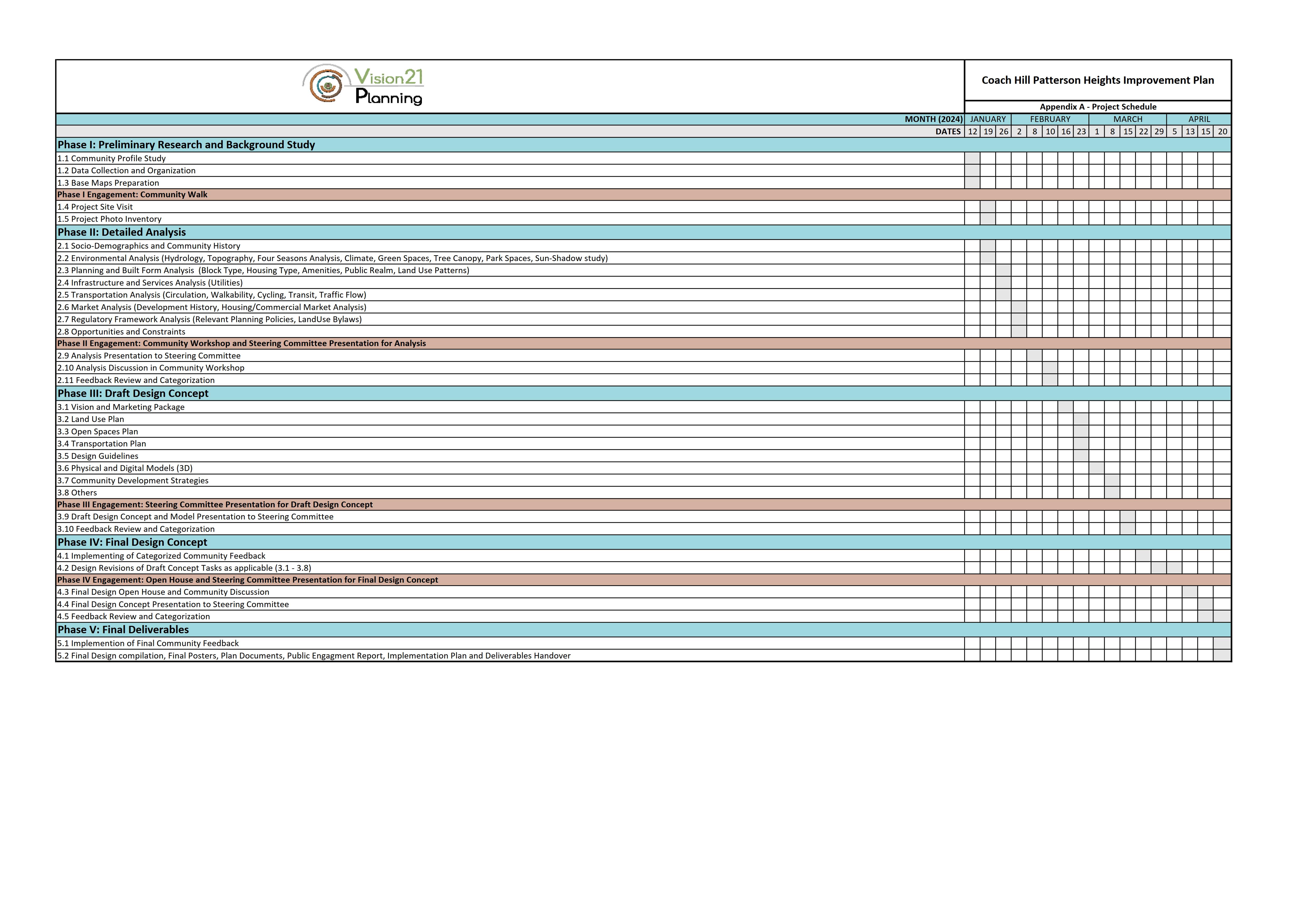
This plan offers recommendations to combat these concerns. Key challenges within the plan were identified through the synthesis of spatial analysis, site visits, and input from community engagement. The conceptual and final plan recommendations were developed through weekly studio sessions with our Instructor and feedback from the Steering Committee.
The plan offers practical solutions to current resident concerns while also establishing a guide to sustain future demographics, economic, social and environmental changes.
Phase I: Analysis

Preliminary Study
Spatial Analysis and Site Visit
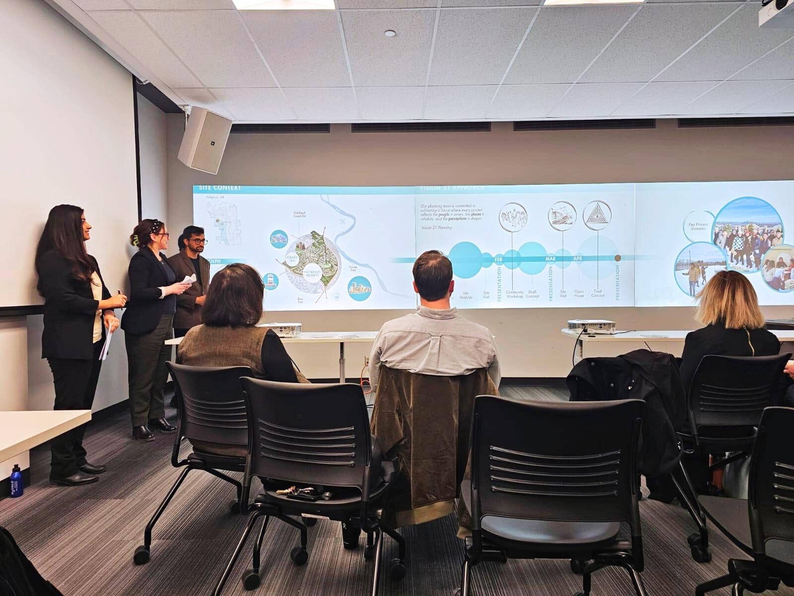
Presentation I to Steering Committee
Phase II: Draft Concept

Phase III: Final Plan
Engagement Workshop
Analysis and Feedback Synthesis
Presentation II to Steering Committee


Finalization of Plan
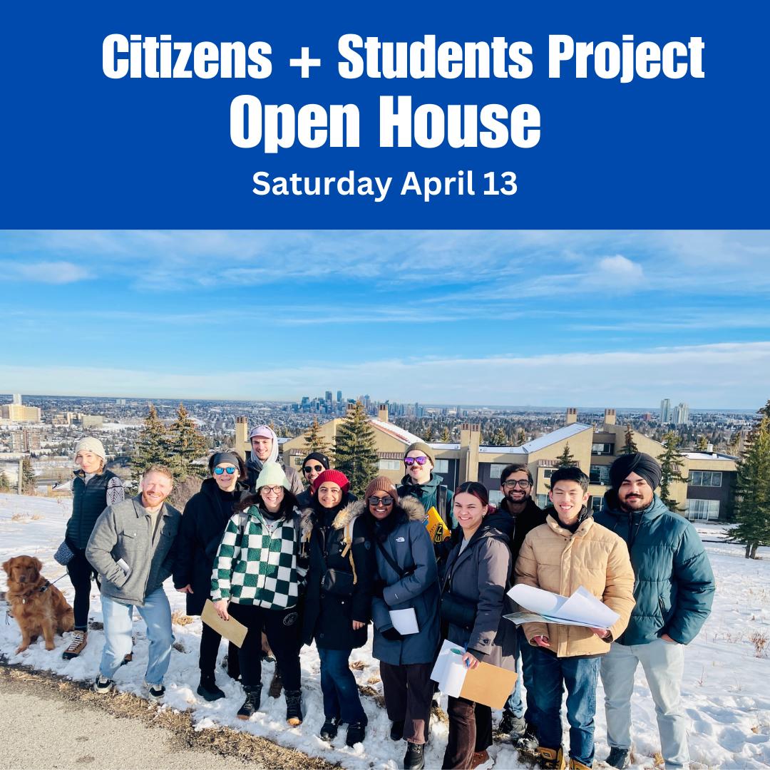
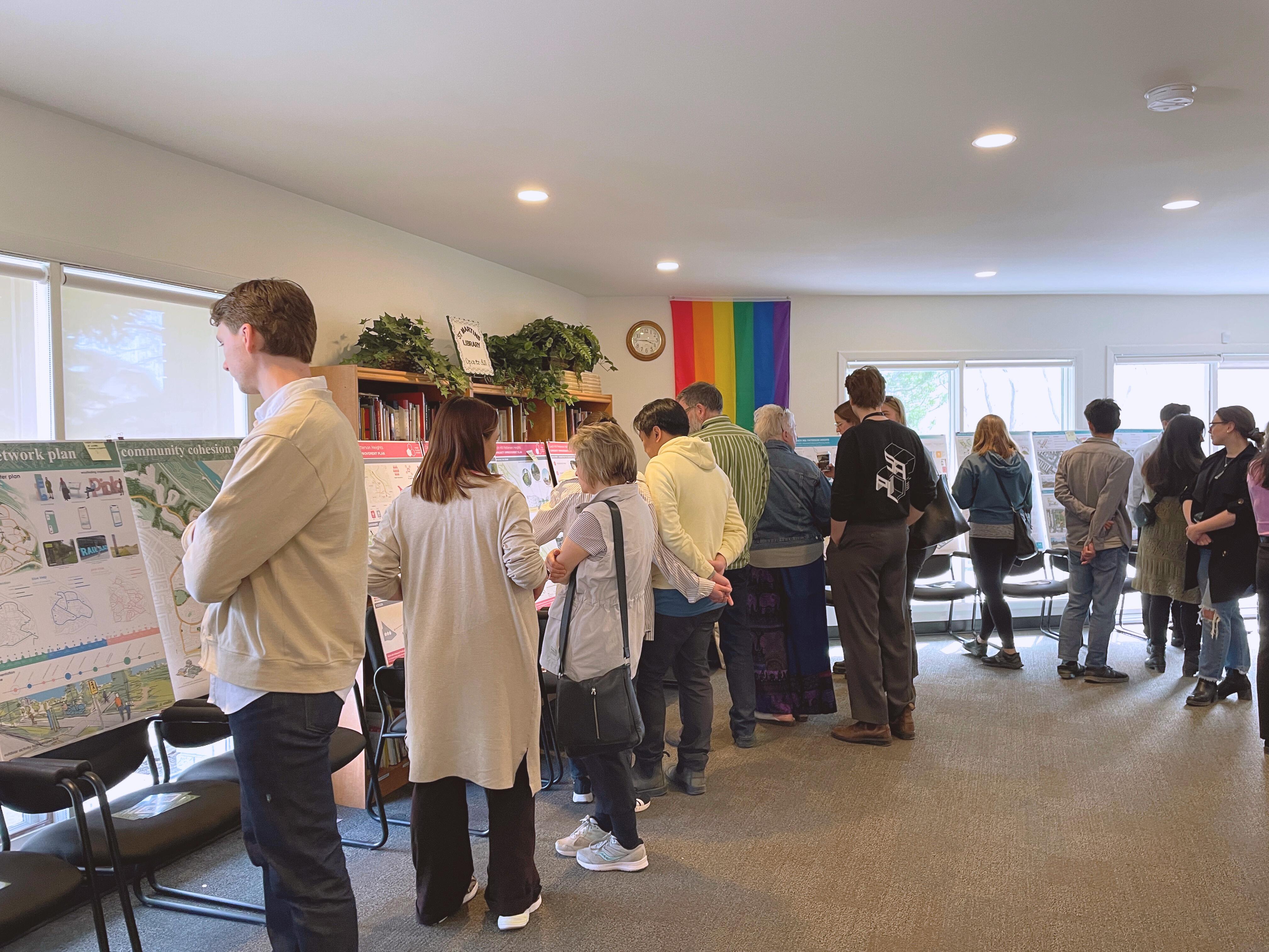
Open House
Final Presentation III to Steering Committee
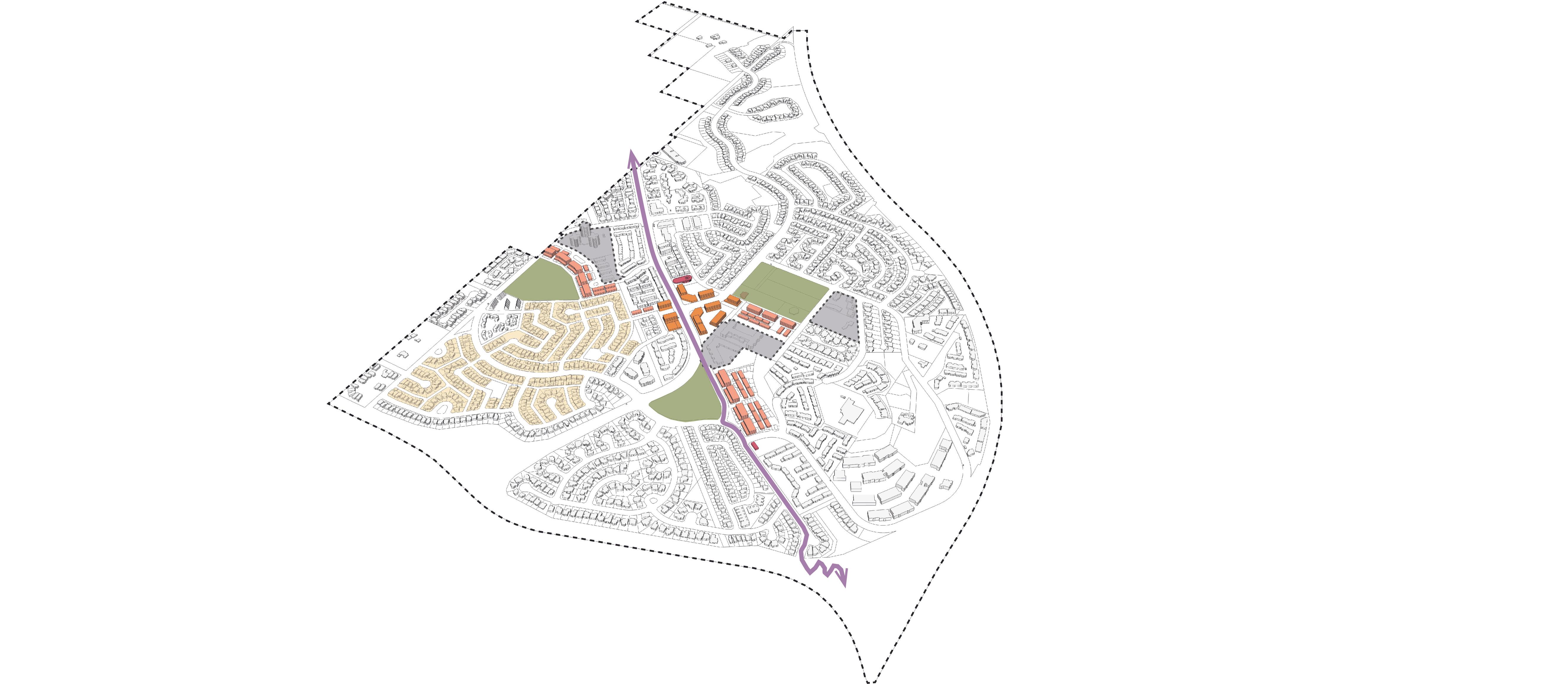
1.1 | CONTEXT
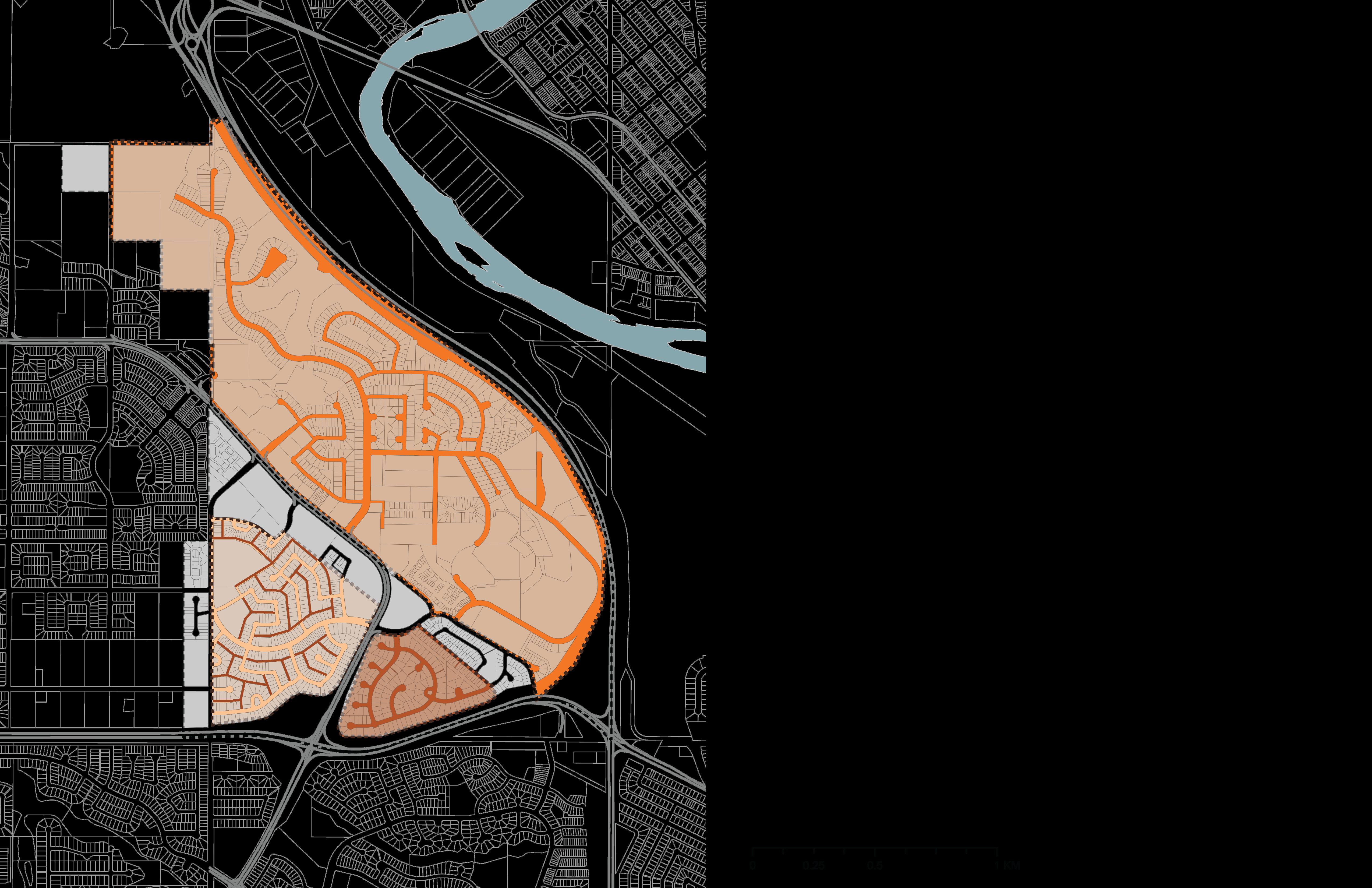
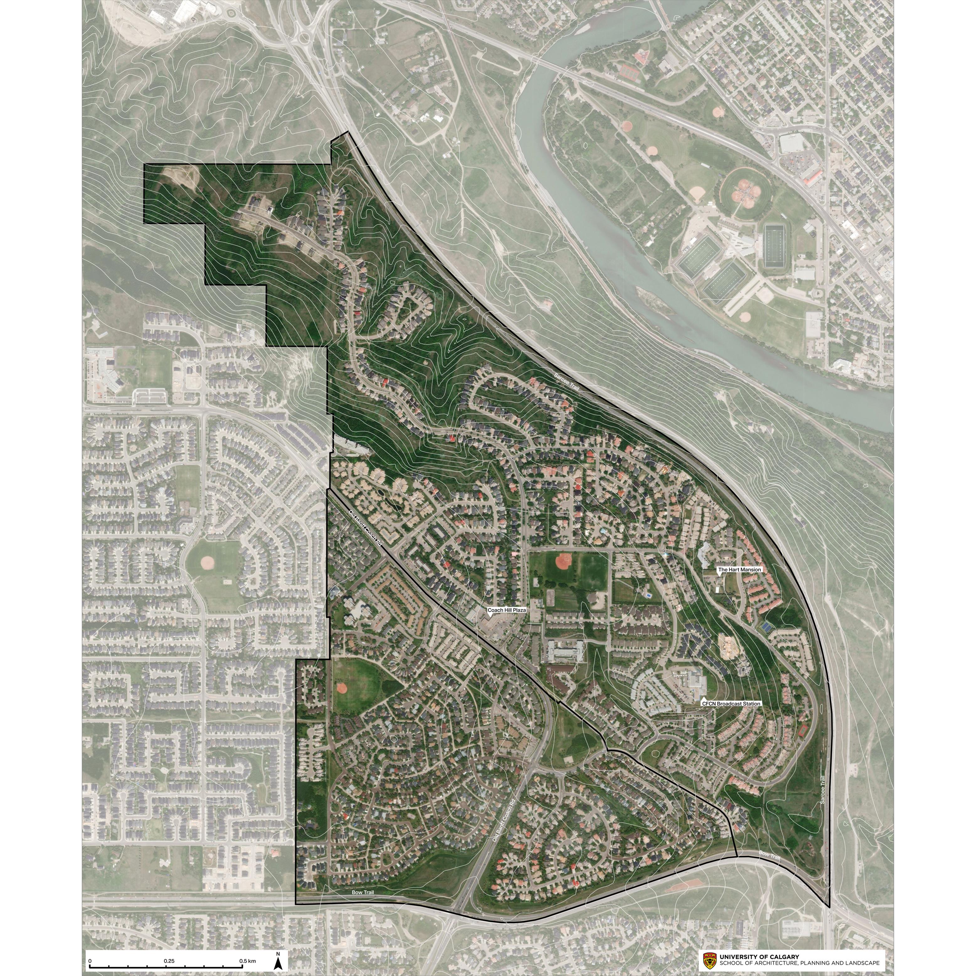
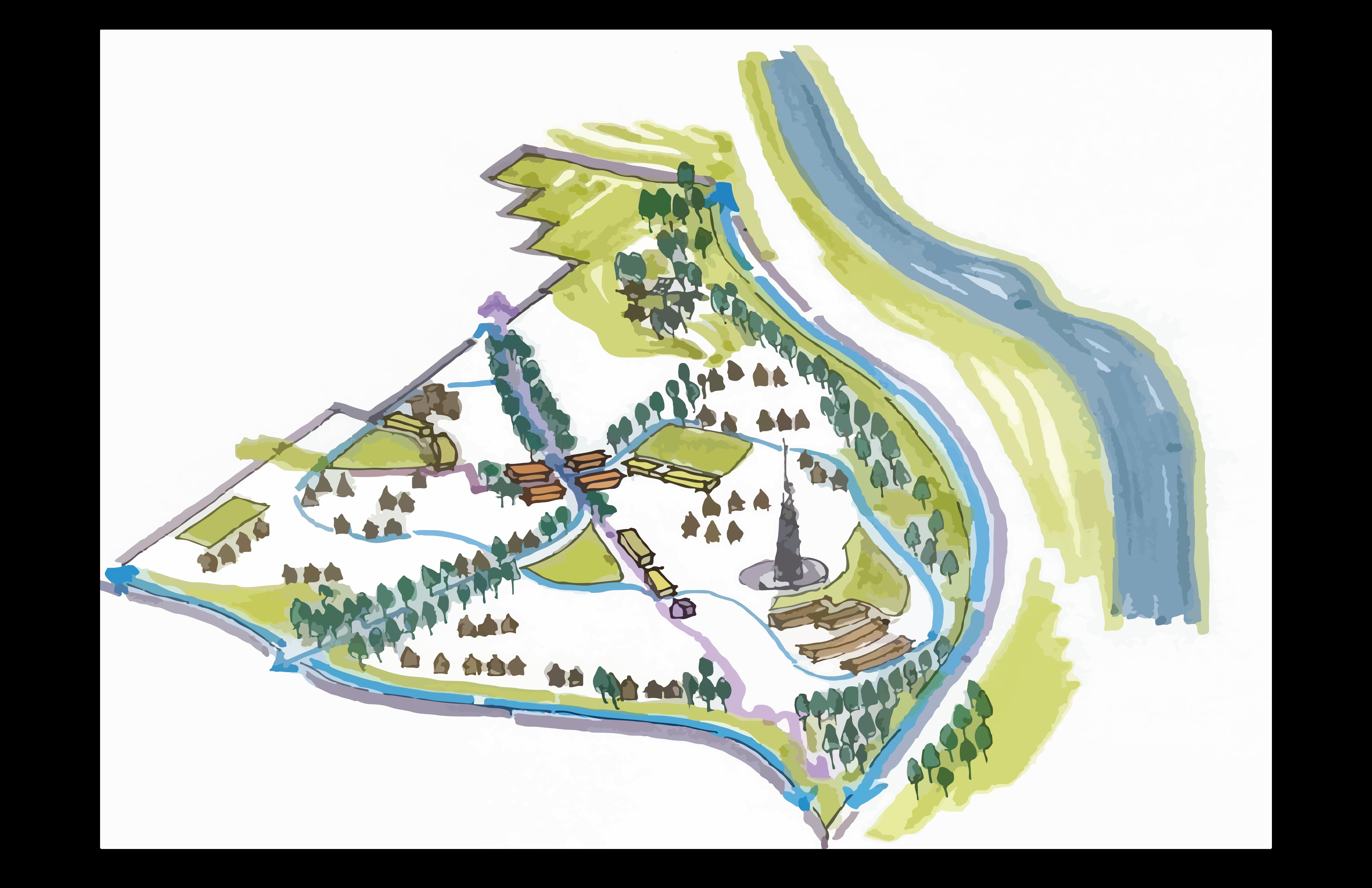
Site Context
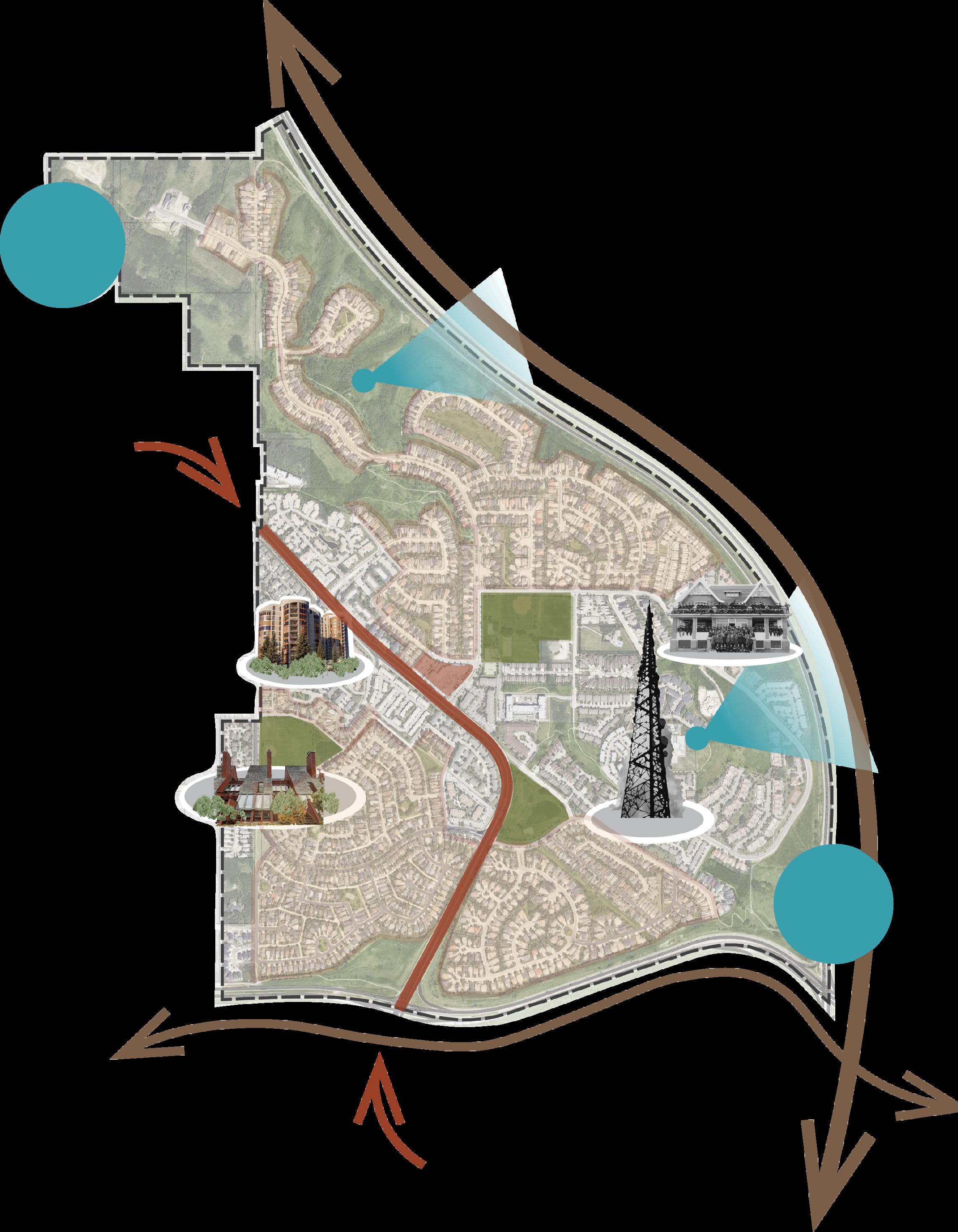
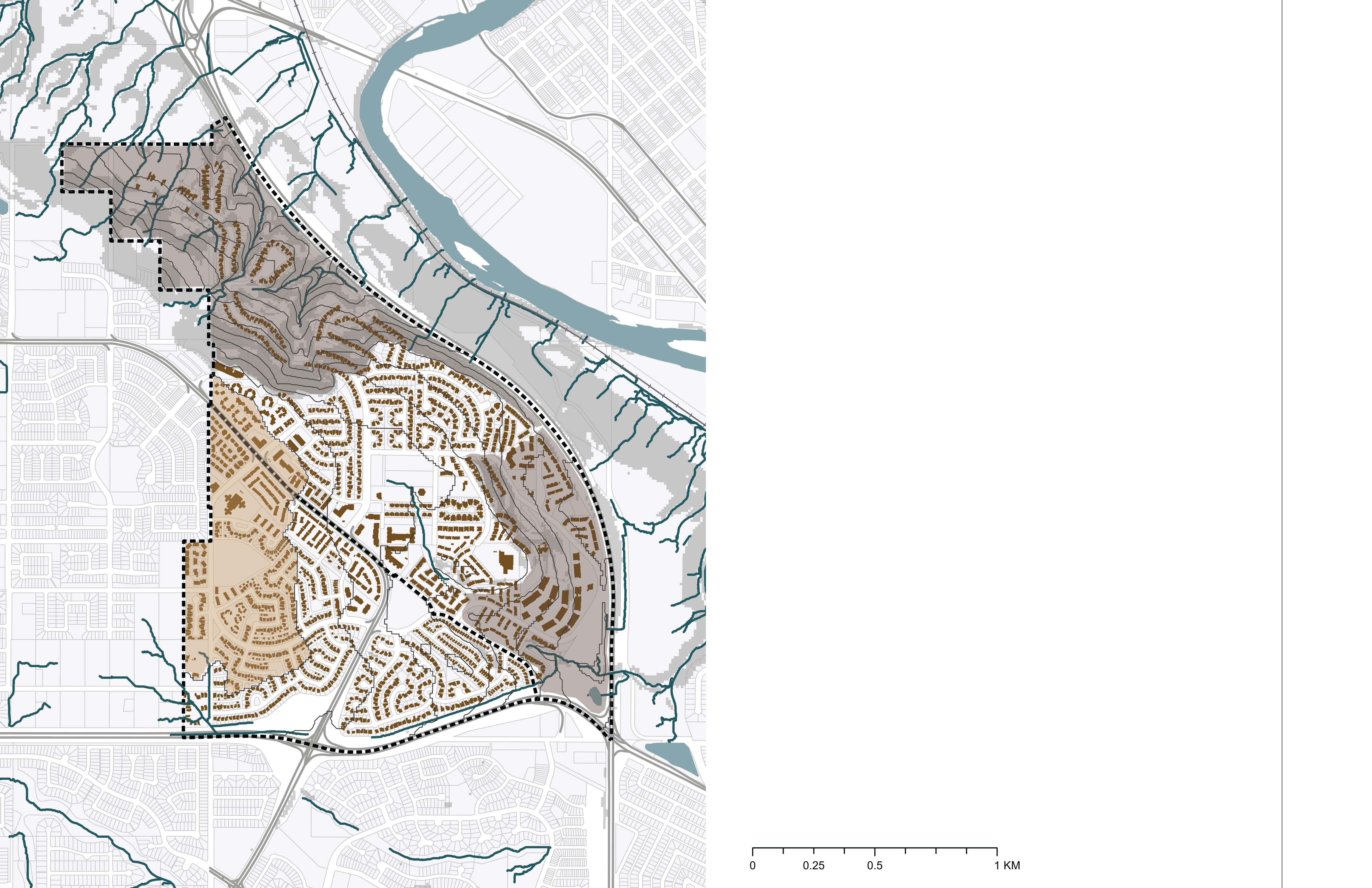
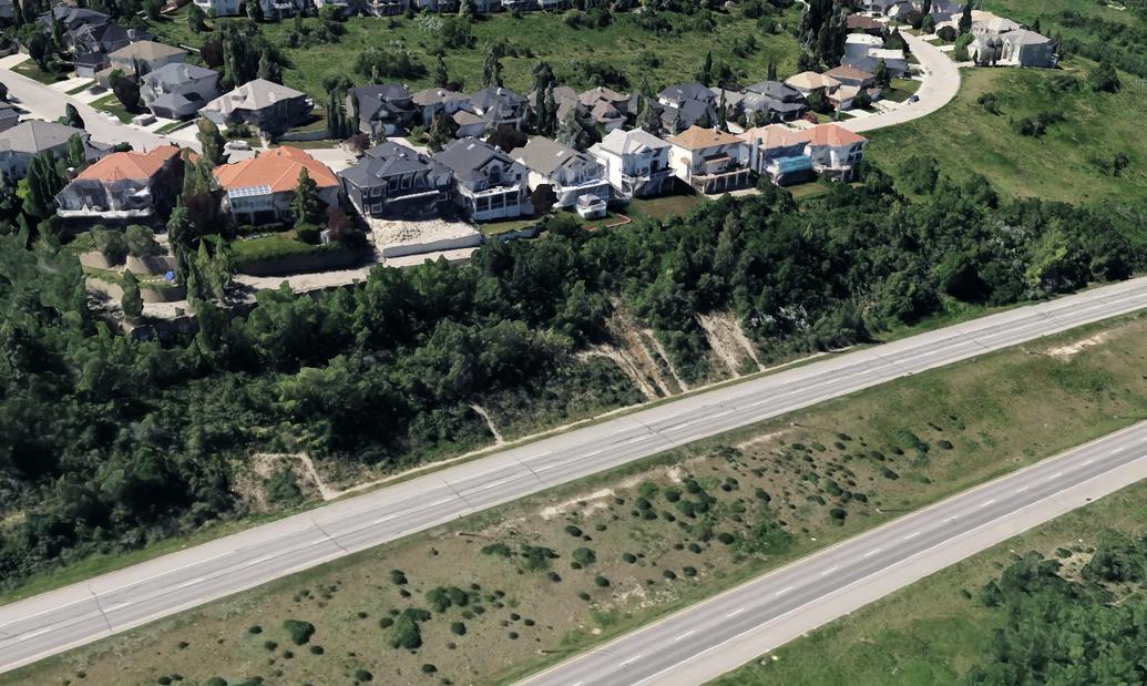
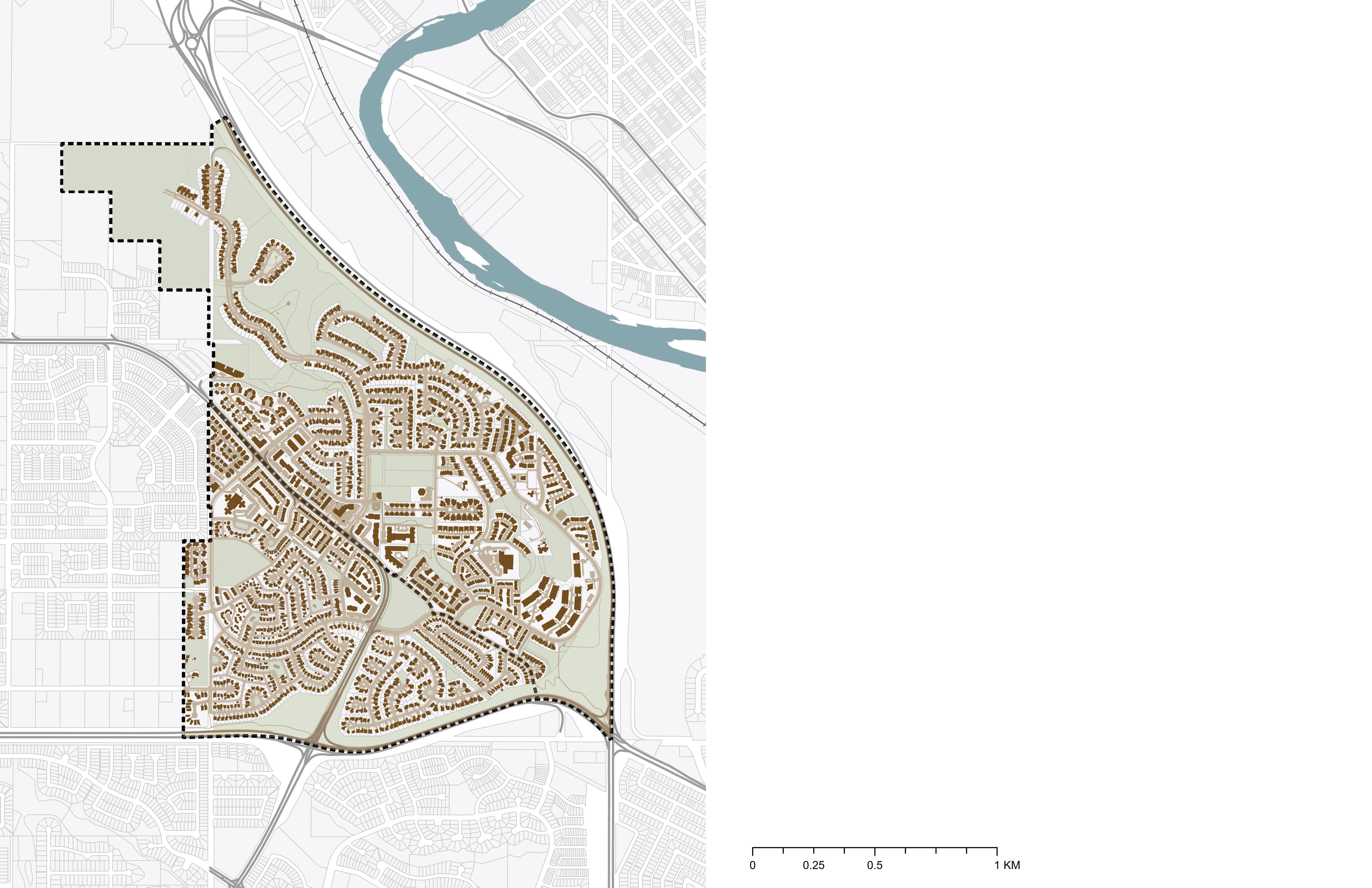
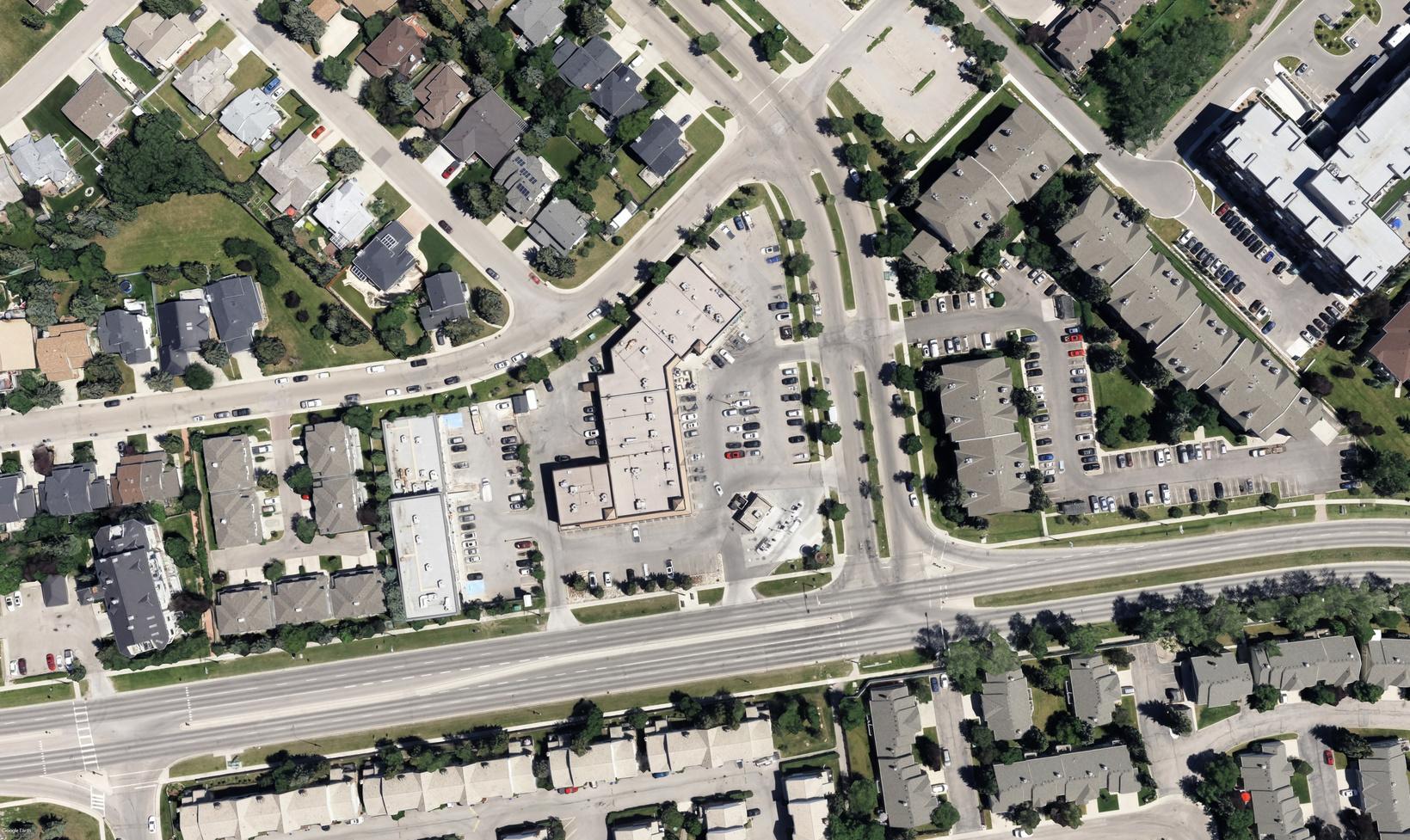
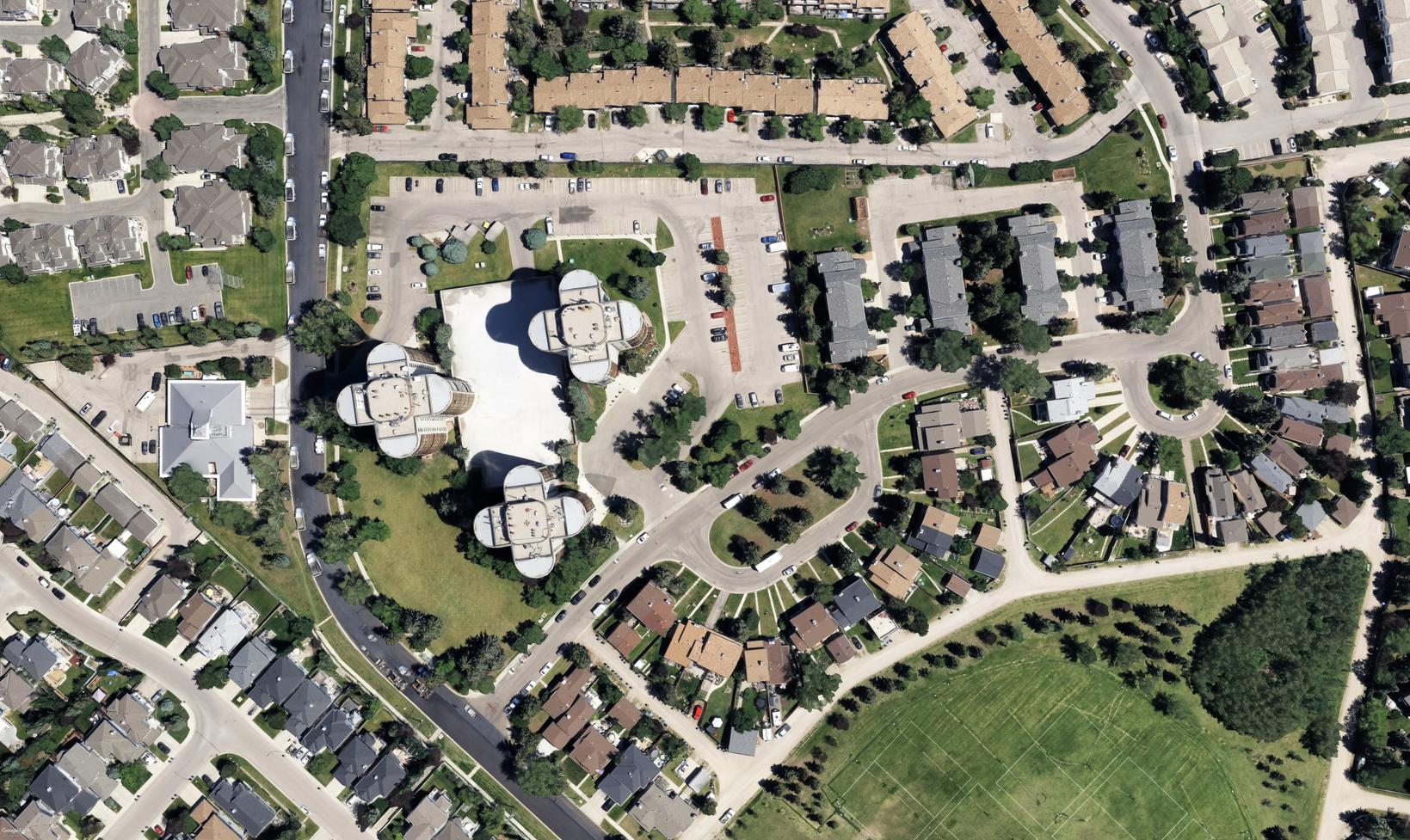
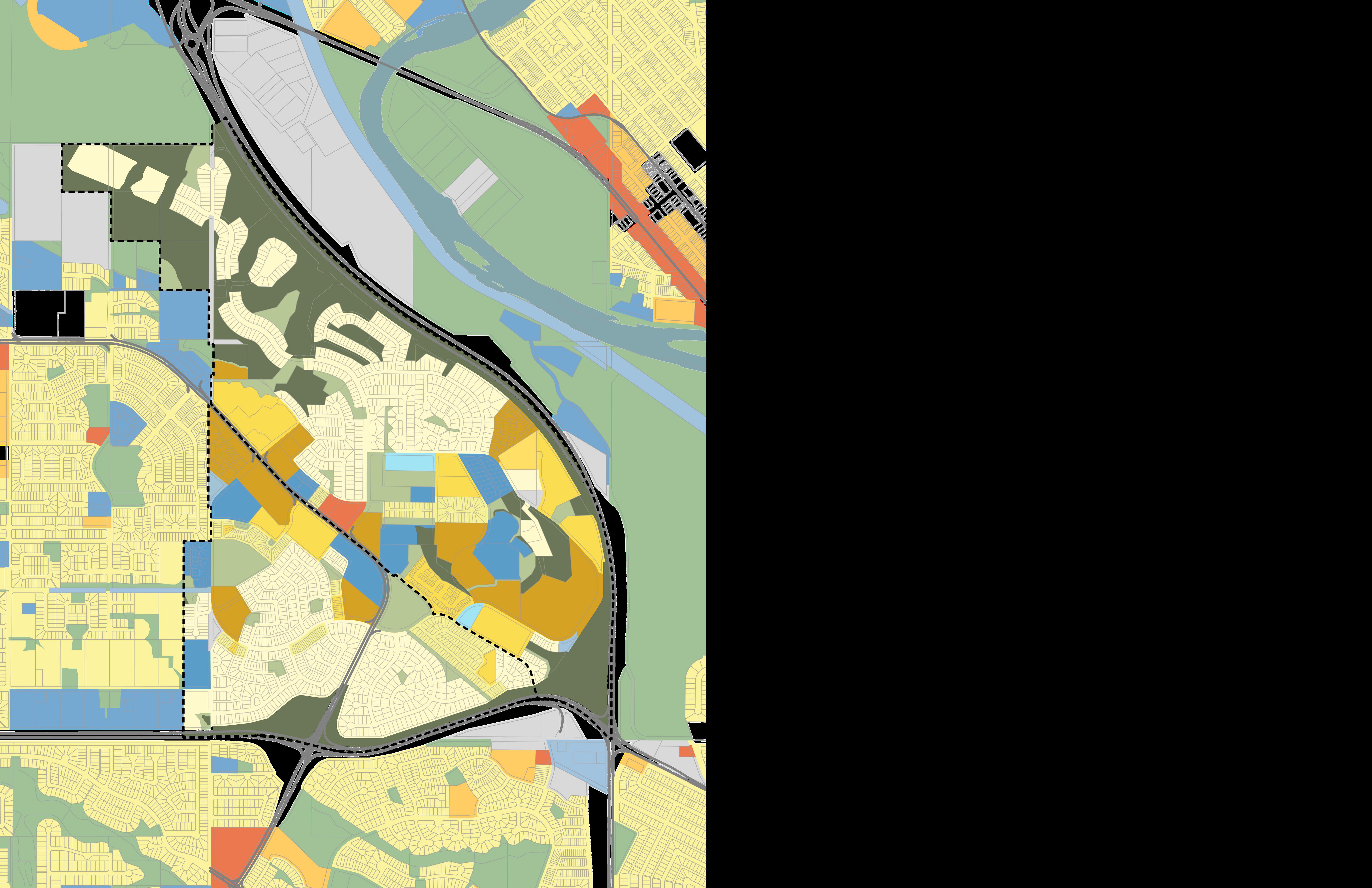
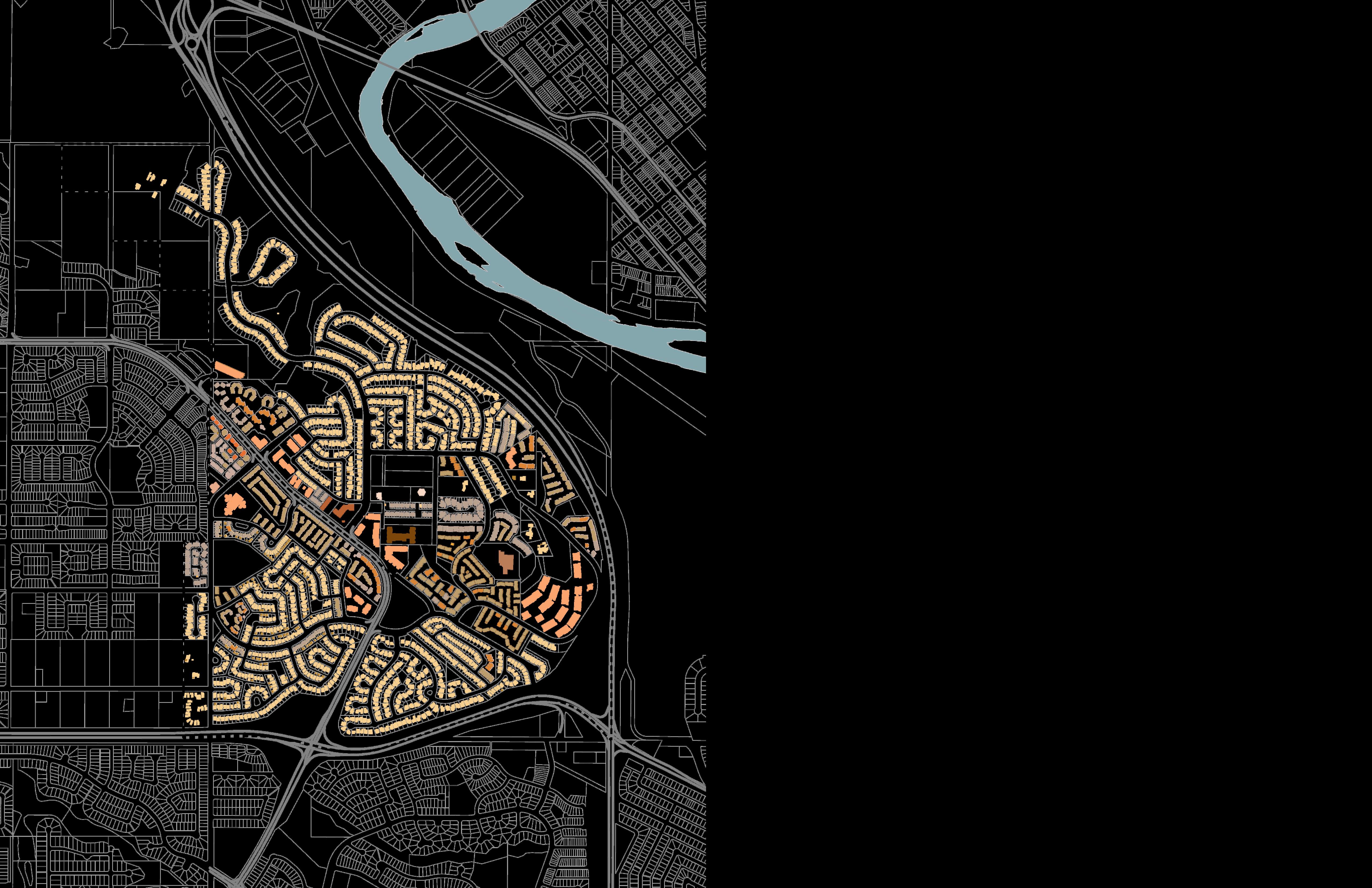
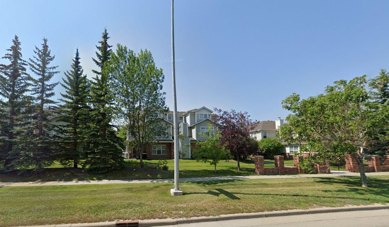
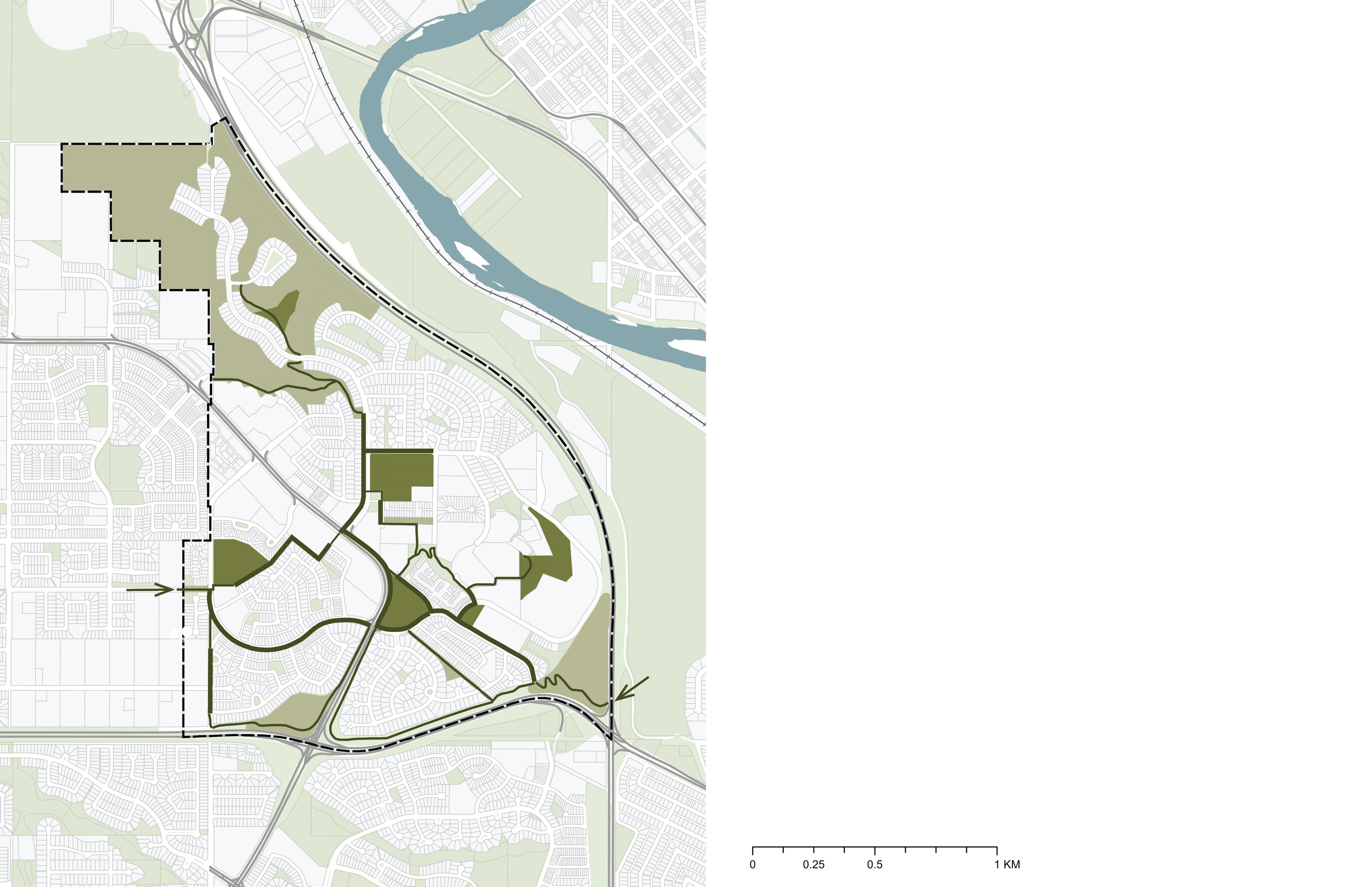
Coach Hill Patterson Heights is situated just west the Bow River along one of Calgary’s original C Rail lines. The neighbourhood is approximately 33 ha. It is bounded by the following roadwa infrastructure; Sarcee Trail to the east, and Bow Tra to the South. Old Banff Coach Road (est. 190 intersects the two communities.
Neighbouring communities include Cougar Ridge the North, Strathcona Park to the South, Wildwoo to the East and West Springs to the West.

Distances

Old Banff Coach Road
Sarcee
Site Functionality
Coach Hill Patterson Heights has two key entrances; the South entrance off Bow Trail, which offers quick connection to Calgary’s downtown, and the NorthWest entrance along Old Banff Coach Road, which connects to West Calgary and HWY 1 to Banff National Park.
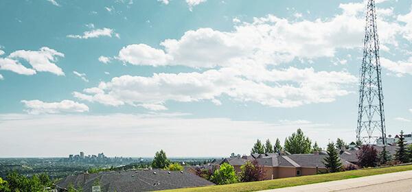
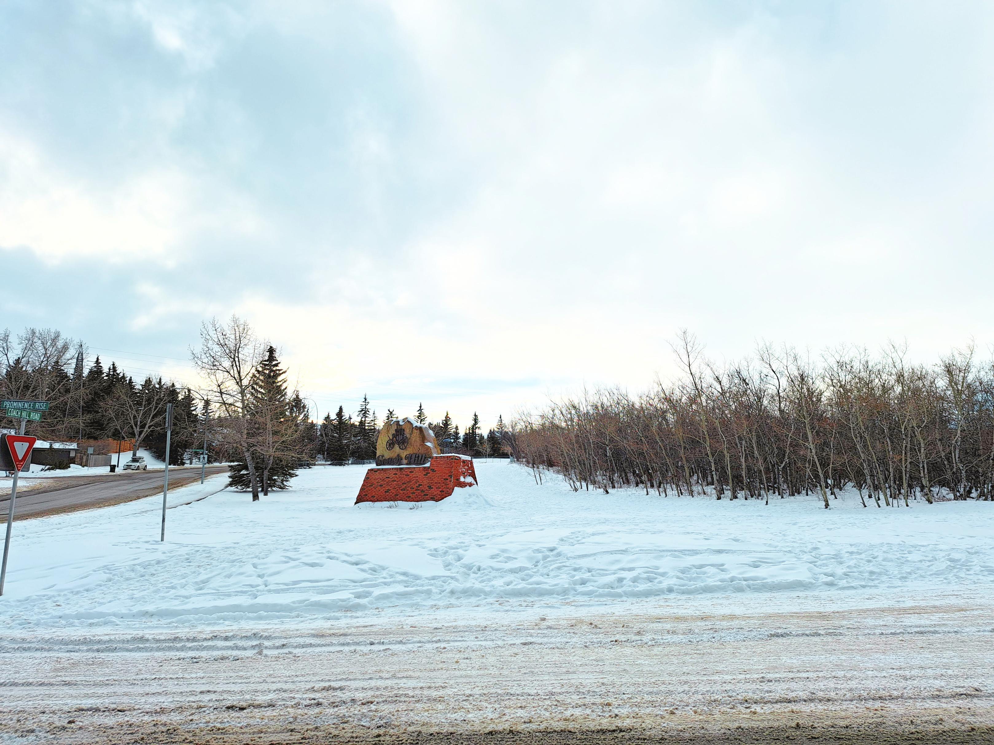
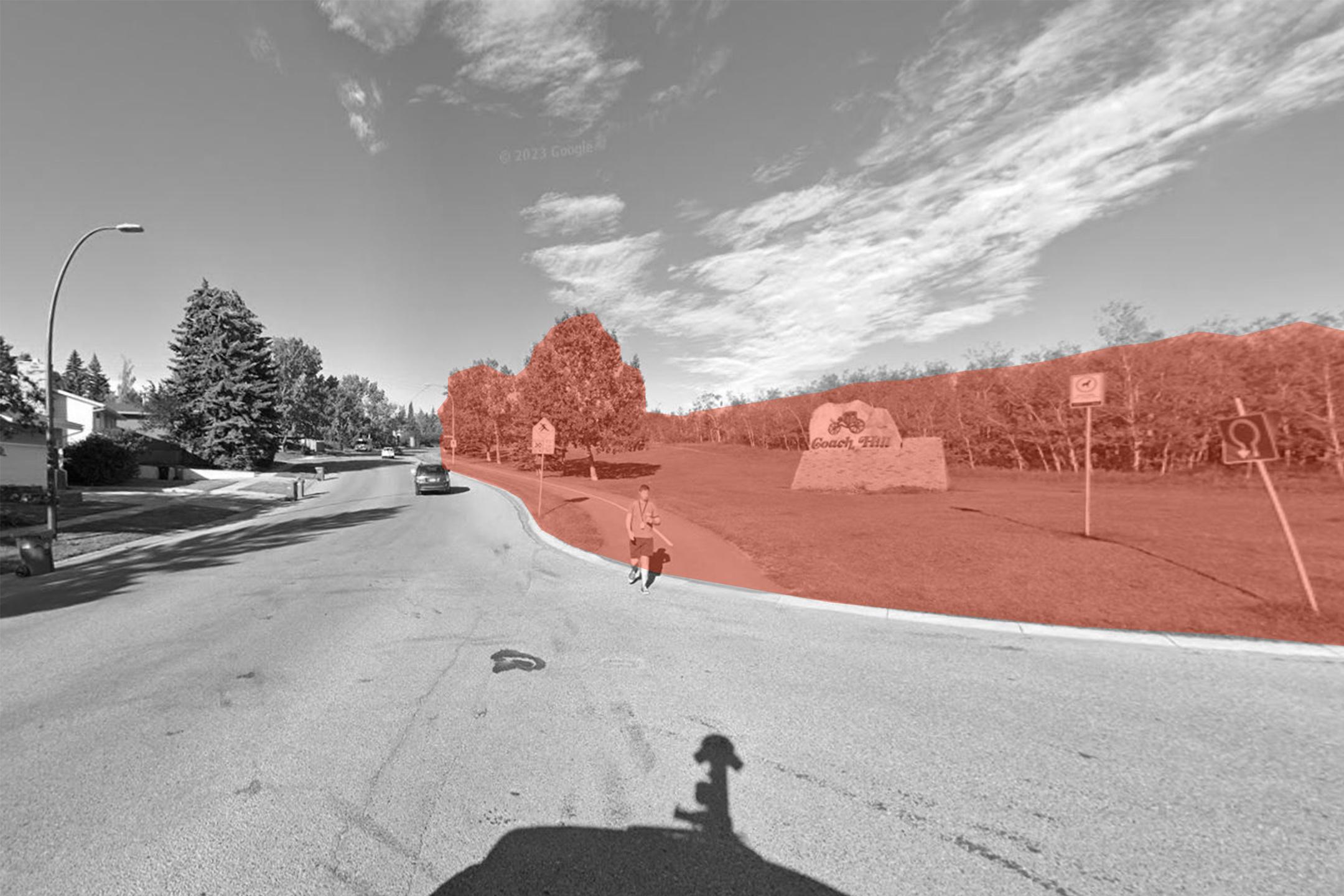
Inside the neighbourhood are two community signs (both located in Patterson Heights). Two viewpoints of downtown’s skyline and two trail connections to Paskapoo Slopes and Edworthy Park.
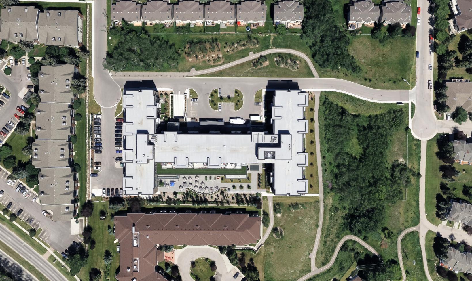
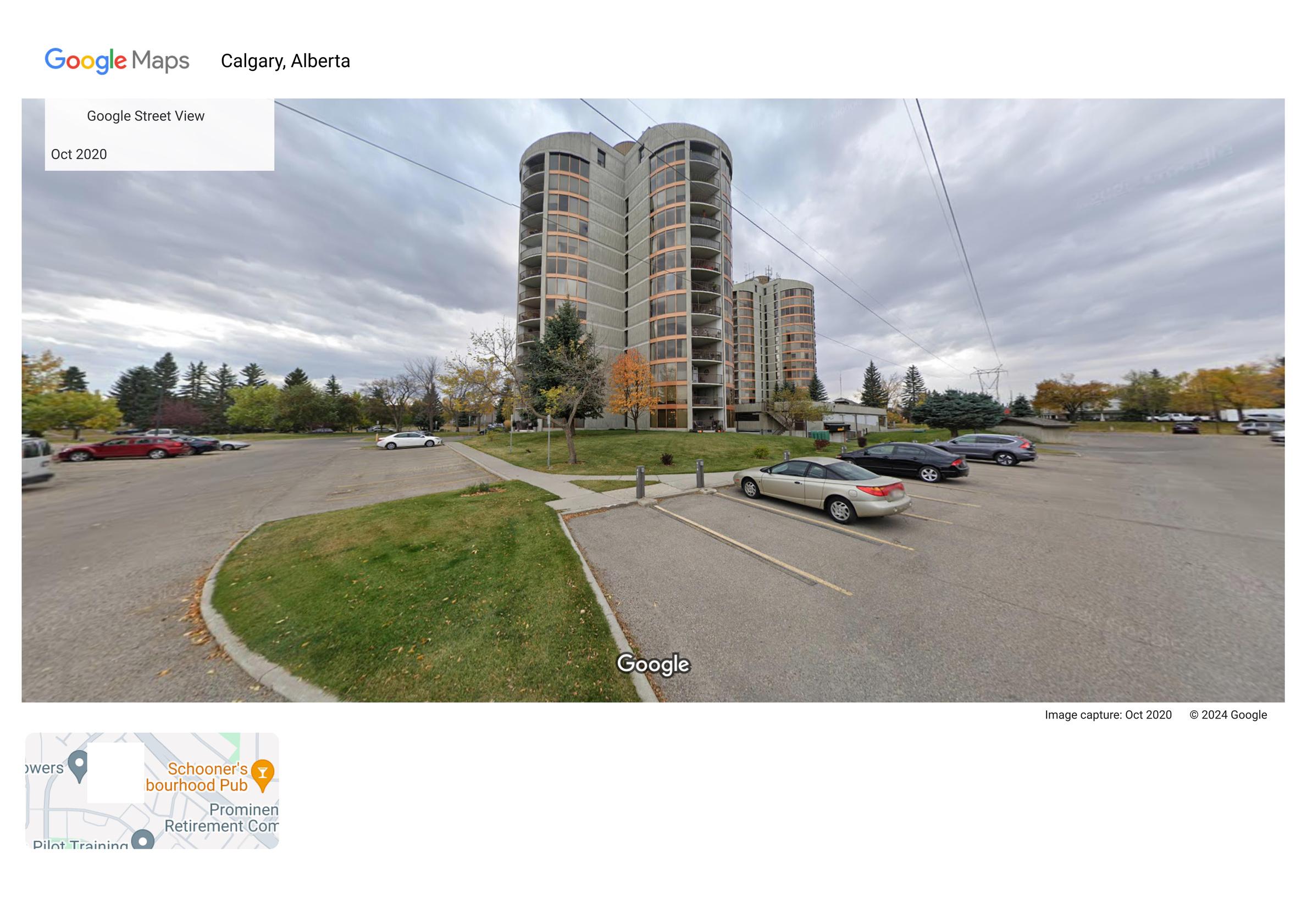
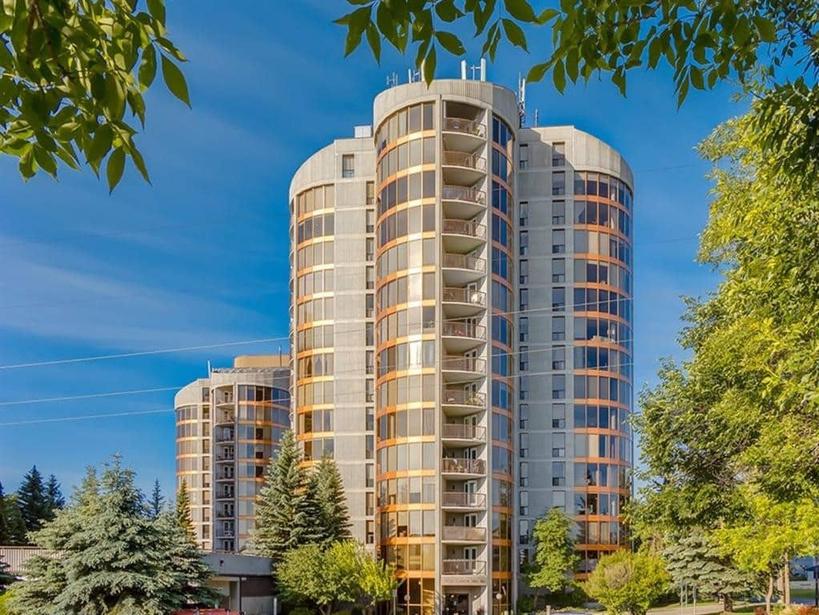
Landmarks of the neighbourhood include the CFCN Tower, built on Calgary’s highest elevation point. Other high-rise landmarks include Odyssey Towers, which is an adult-living condominium.
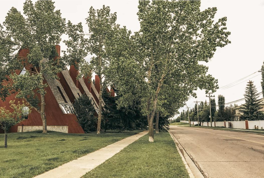
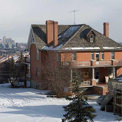
The neighbourhood also hosts significant housing and estate developments. These include, the Coach Bluff A-Frame homes and the Hart House.
Paskapoo Slopes
Edworthy Park
Sarcee Trail
Bow Trail
Old Banff Coach Road
Coach Hill Community Sign Patterson Heights Community Sign
1.3 | MUNICIPAL POLICY
Guiding and Legal Framework, Municipal
The following municipal statutory and non-statutory policies assisted in shaping this improvement plan for Coach Hill Patterson Heights. These municipal documents outline The City of Calgary’s current strategies for growth, sustainability, and best practices for streetscape, public realm and urban design practices.
Municipal Development Plan
The MDP is Calgary’s statutory, ong range plan for land use and transportation. It provides policies to guide growth and change through to 2076.
Guidebook for Great Communities

This document is non-statutory It outlines Calgary’s best practices and desired public realm outcomes including concerns for equity and accessibility for all communities.
Deve oped Areas Guidebook
This policy outlines the bui ding blocks that make up intensities, densities, and built form. The City of Calgary has targeted developed community areas to support 50% of Calgary’s growth from now until 2076.
Calgary Climate Strategy
In 2023 The City of Calgary released its Climate Strategy. This document provides key insights in o emission reduction techniques, overall carbon reduction targets and considerations of efficient use of infrastructure. We will use this document along with best practices to create not only a vibrant plan, but a sustainable one.
Land Use ByLaw IP2007
This regulation too guides permitted uses under existing land use codes. It establishes aws for zoning, parking, al owable amenities, building massing and setbacks. This egal framework has shaped our design vision.
1.4 | NEIGHBOURHOOD POLICY
Guiding and Legal Framework, Neighbourhood
The following Area Structure Plans are relevant to the Coach Hill Patterson Heights improvement plan, as the communities highlighted in each of the following ASP’s are adjacent to the site of focus.
Growth and development surrounding Coach Hill Patterson Heights will affect traffic flows, commercial businesses, possible housing and future development trends.
Therefore, we have referenced these ASP’s to ensure alignment across community contexts and foreseeable impacts caused by contextual development.
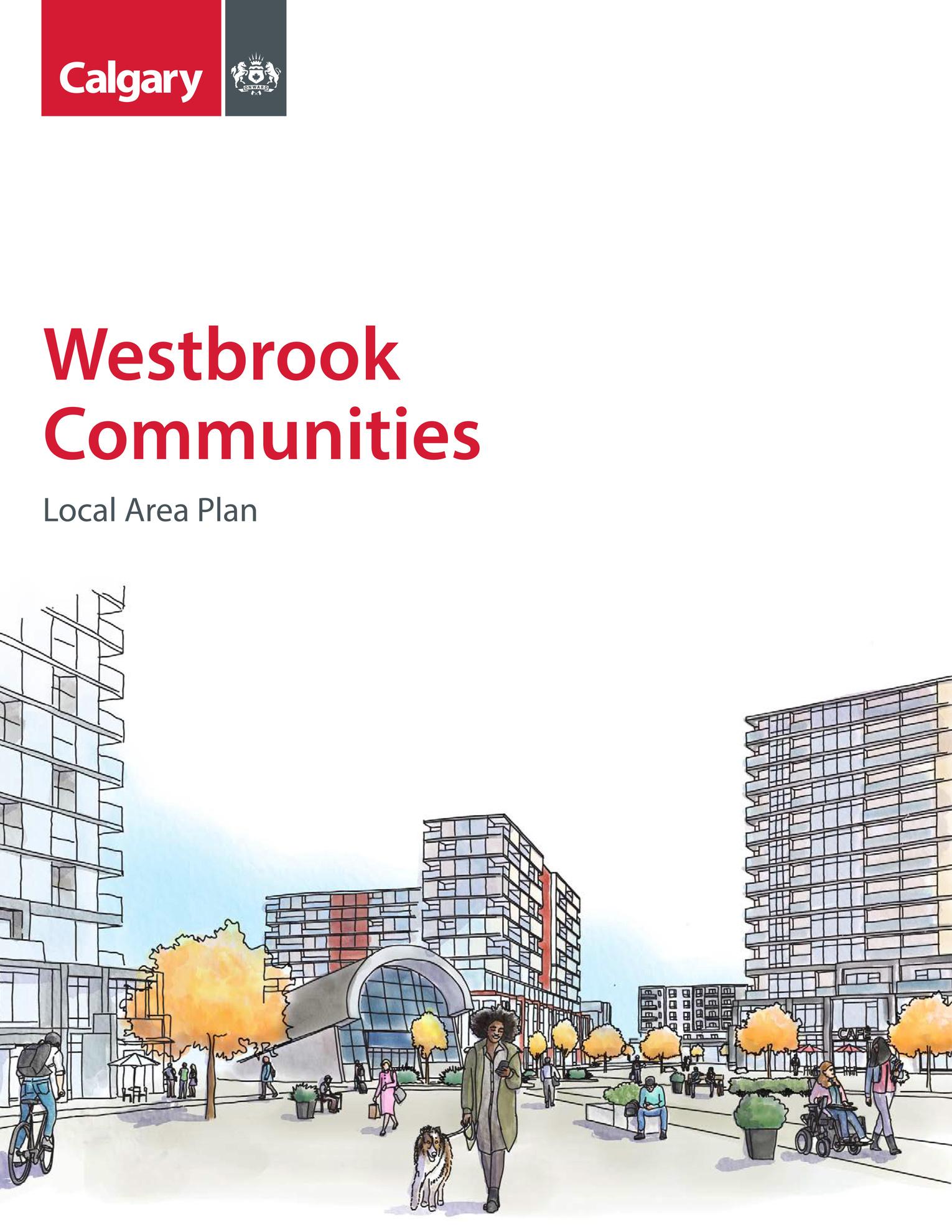
Westbrook Communities ASP April 25, 2023
East Springbank ASP
September 18, 1997 (latest revision July 25, 2023)
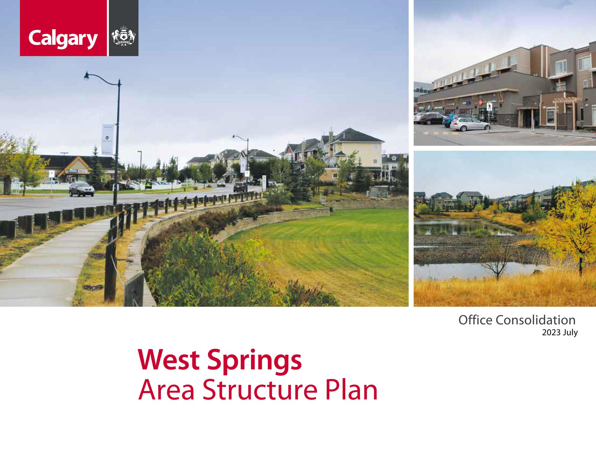
West Springs ASP February 20, 2018 ( ates revision November 14, 2023)
Patterson Heights ASP June 20, 1994 ( atest revision May 16, 2023)
Paskapoo Slopes ASP
June 13, 2005 ( atest revision July 29, 2013)
1.5 | PROJECT OVERVIEW
Project Understanding
Many of Calgary’s inner city and late 20th-century neighbourhoods are undergoing significant changes. These changes have been brought on by shifting household compositions, increased populations, and modifications to previously established work and commuting patterns.
Coach Hill Patterson Heights is no exception to these changes. It is poised for new ideas and modifications to programming, land use, and design interventions that may activate and reimagine its identity and amenities for existing, aging, and future residents.
This report serves as a reference to be utilized by the Coach Hill Patterson Heights Community Association and residents as a guide and tool for short-term, medium-term, and long-term recommendations for the community. Our recommendations have been developed within an academic setting, and directed by Instructor Dr. Beverly A. Sandalack and our Steering Committee of planning and design professionals. The recommendations include future land use amendments (including land acquisition suggestions), safe mobility interventions, parks programming and a plan to celebrate and leverage the community’s unique history and heritage assets.
Key Interested Parties
Coach Hill Patterson Heights Community Members
Coach Hill Patterson Heights Community Association
Westgate Community Association Facility (Workshop Host)
Patterson Musalah Society (Open House Host)
The City of Calgary
The School of Architecture, Planning & Landscape (University of Calgary)
Local Developers
Local Business Owners

Logos have been used for the purpose of identifying key interested parties and are not intended to indicate authorship or approvals of recommendations contained within this document
Methodology
Population and Housing
Coach Hill
Total Population and Demographics (2021 Census)
7,420 Community Members
22 people/ha
Average of 2.2 people/household
25% Immigrants
Median Income of Each Community (2021 Census) Coach Hill
Household Affordability (2021 Census)
Percentage of Households Spending 30% of more of Total Income on Shelter: Coach Hill 21%
Coach Hill
2.2 | HISTORY AND HERITAGE
Heritage Features
Glacial Boulders
Paskapoo Slopes Erratic carried over from Jasper, AB area.
Indigenous Lands
Map commissioned by COC, shows historic assessment of 39 ancient camp and kill sites.
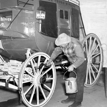
Bricks & Quarries
Thomas Edworthy and his family at the Edworthy cabin. The kiln at “Brickburn‘s Factory“ owned by the Crandell Family.
Television & 16 Ave N
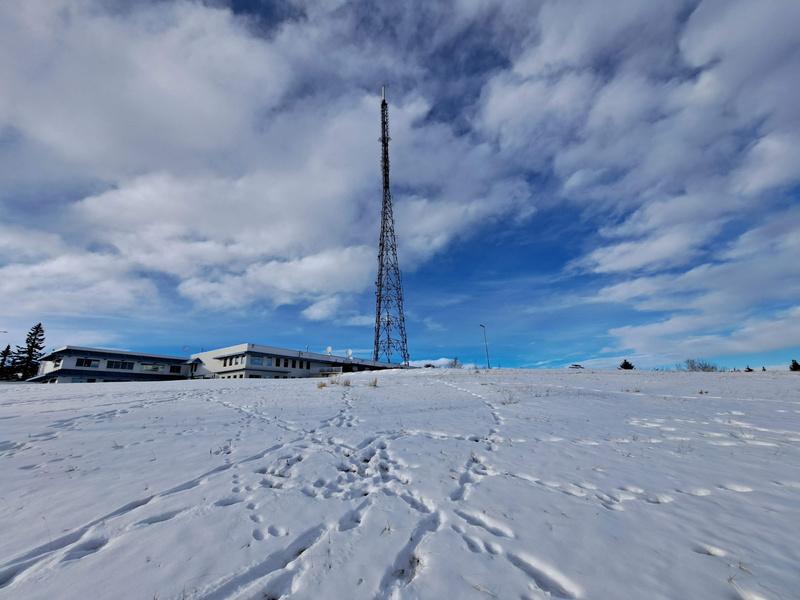
The CFCN Tower located at the highest point in Calgary, installed in 1960.
20,000 Years Ago
1,500 Years Ago
Historic Morphology
The lands of (now) Coach Hill Patterson Heights have an extensive history and significant heritage features. Both from ancient indigenous use, as a key place of bison kill sites and camps, and later in Calgary’s settler history as an early site for some of Calgary’s original estate homes and manufacturing industry
1800 - 1929
1930 - 1962
Coach Hill & Sarcee Trail
Coach Hill development brings about unique housing types.
The 88' Olympics & Patterson Heights Olympic Media Village is built and Patterson Heights begins development.
CHPH & The Outdoor Activity Hub
CHPH Community Association is created and development to the east begins.
1966 - 1979 1980 - 1995 1996 - 2024
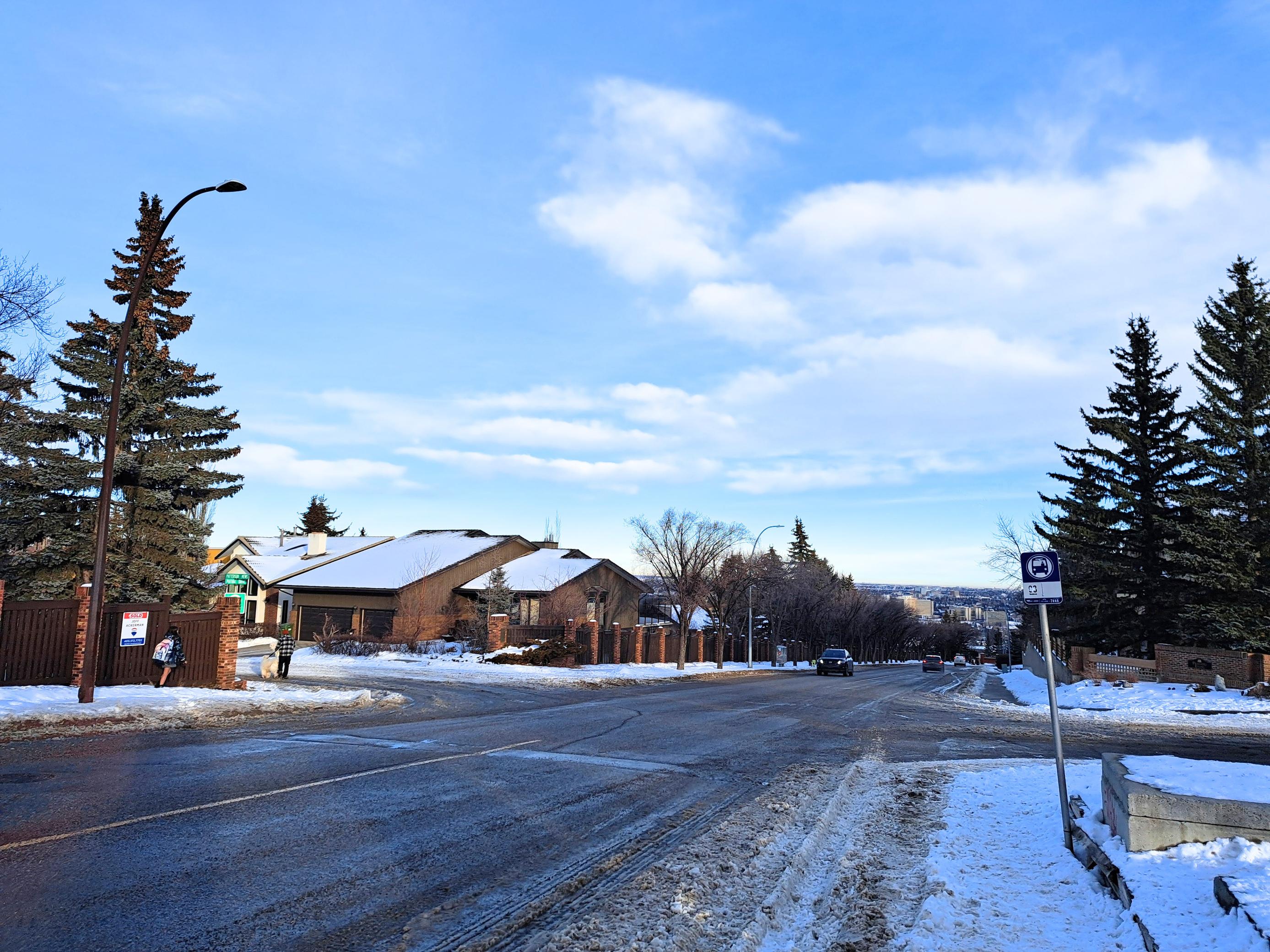
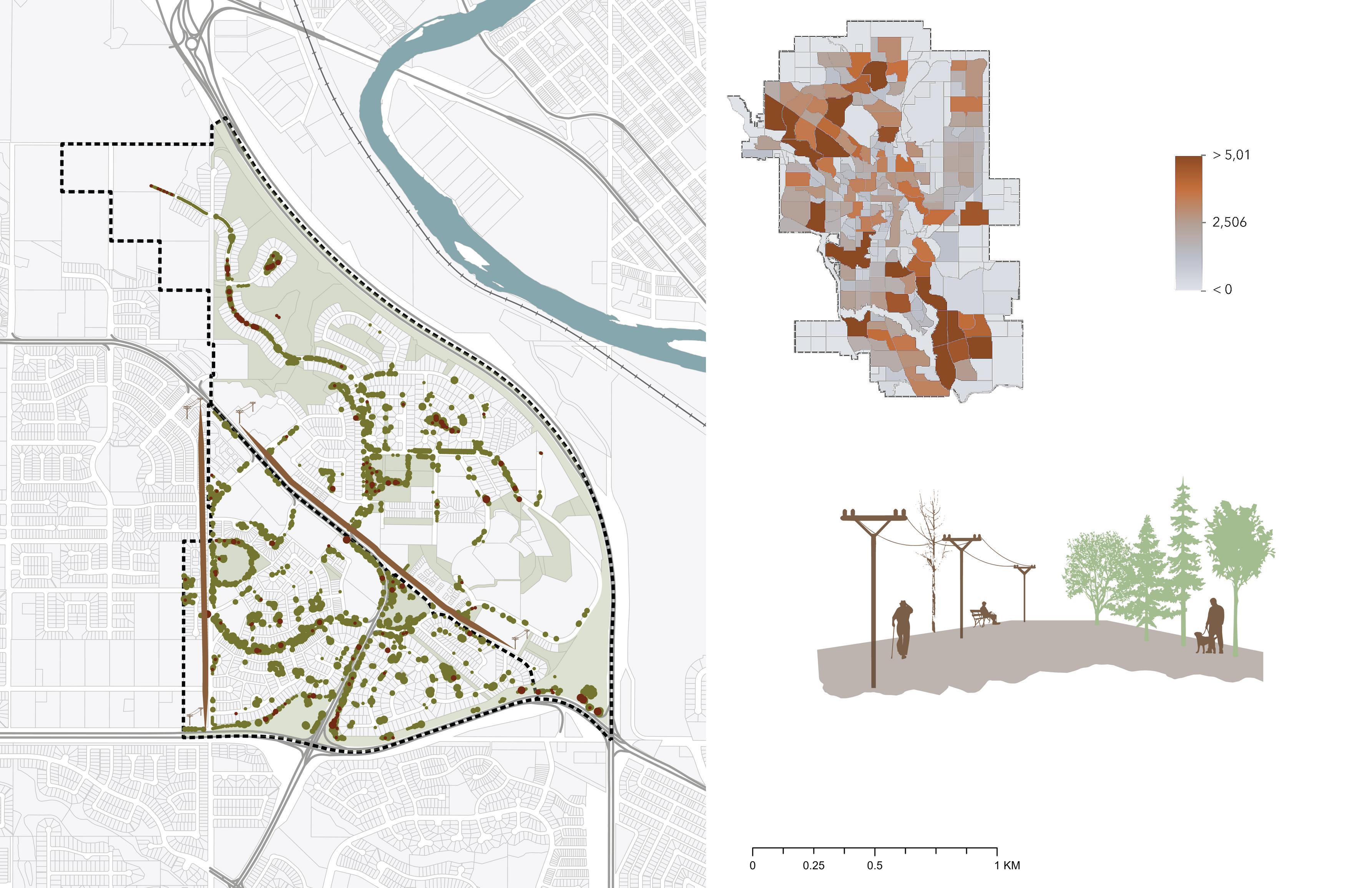
Vehicle Use and Transit
Data from the 2021 Census revealed that most Coach Hill Patterson Heights community members prefer driving as their main commuting mode. The community is serviced by two transit routes: ents to Westbrook LRT Station, 69th Street LRT Station to downtown and surrounding commercial areas are ysis between transit and vehicle distances aimed to preferred. Our analysis revealed that although the the quality of service is low as routes 93 and 111 are 50 minutes. Additionally, transit stops are often without

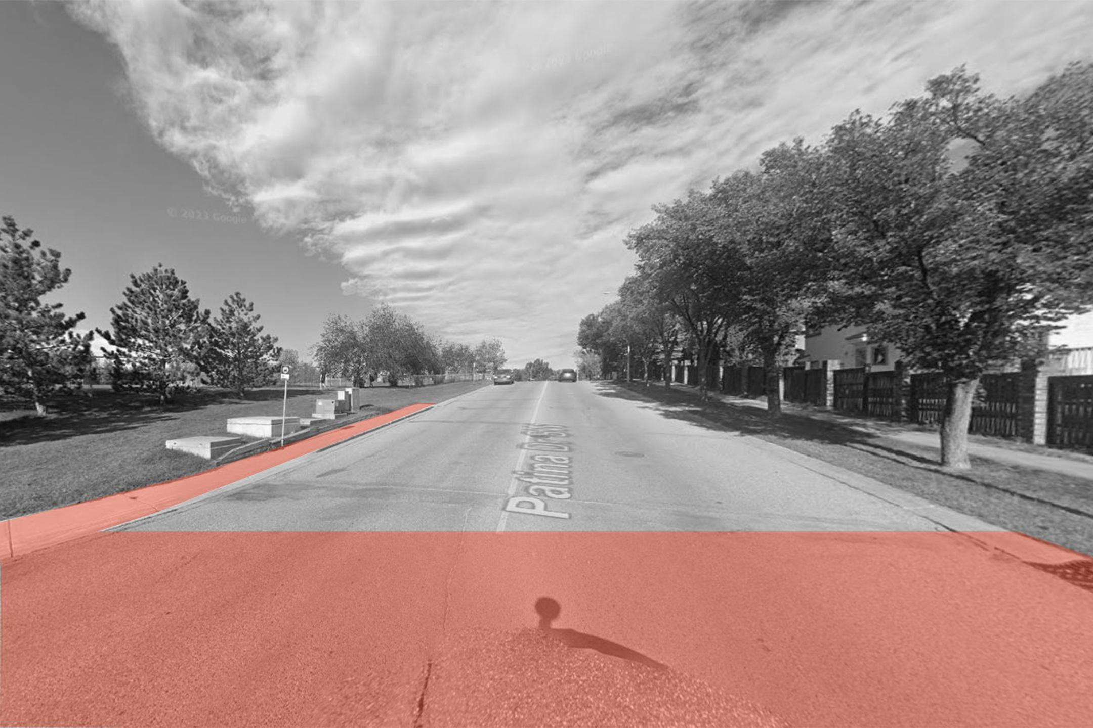
Patina Drive and Prominence Way
Patina Drive
Coach Hill Road


Old Banff
Bow Trai
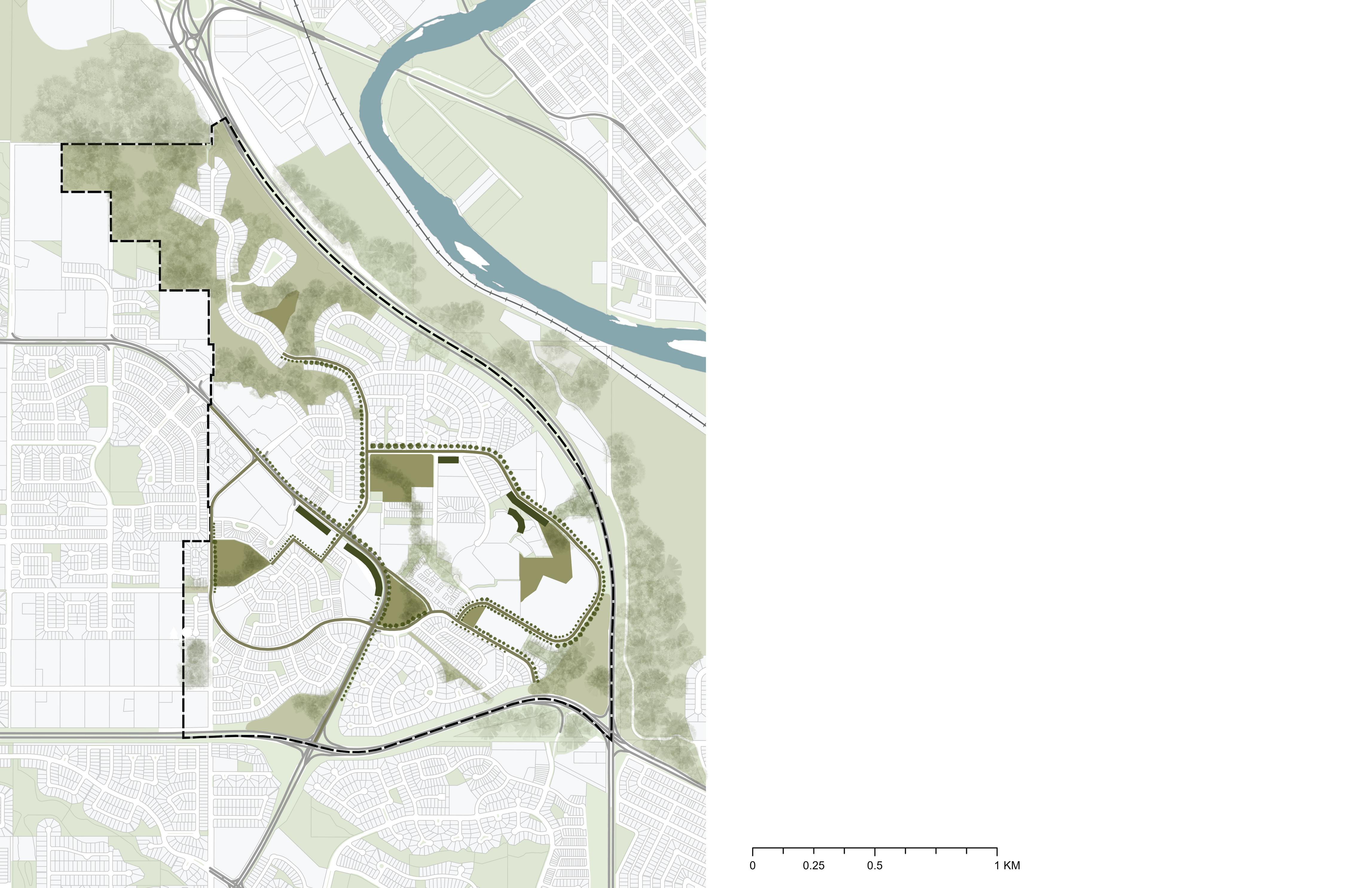
2.4 | NATURAL SYSTEMS
Topography and Hydrology
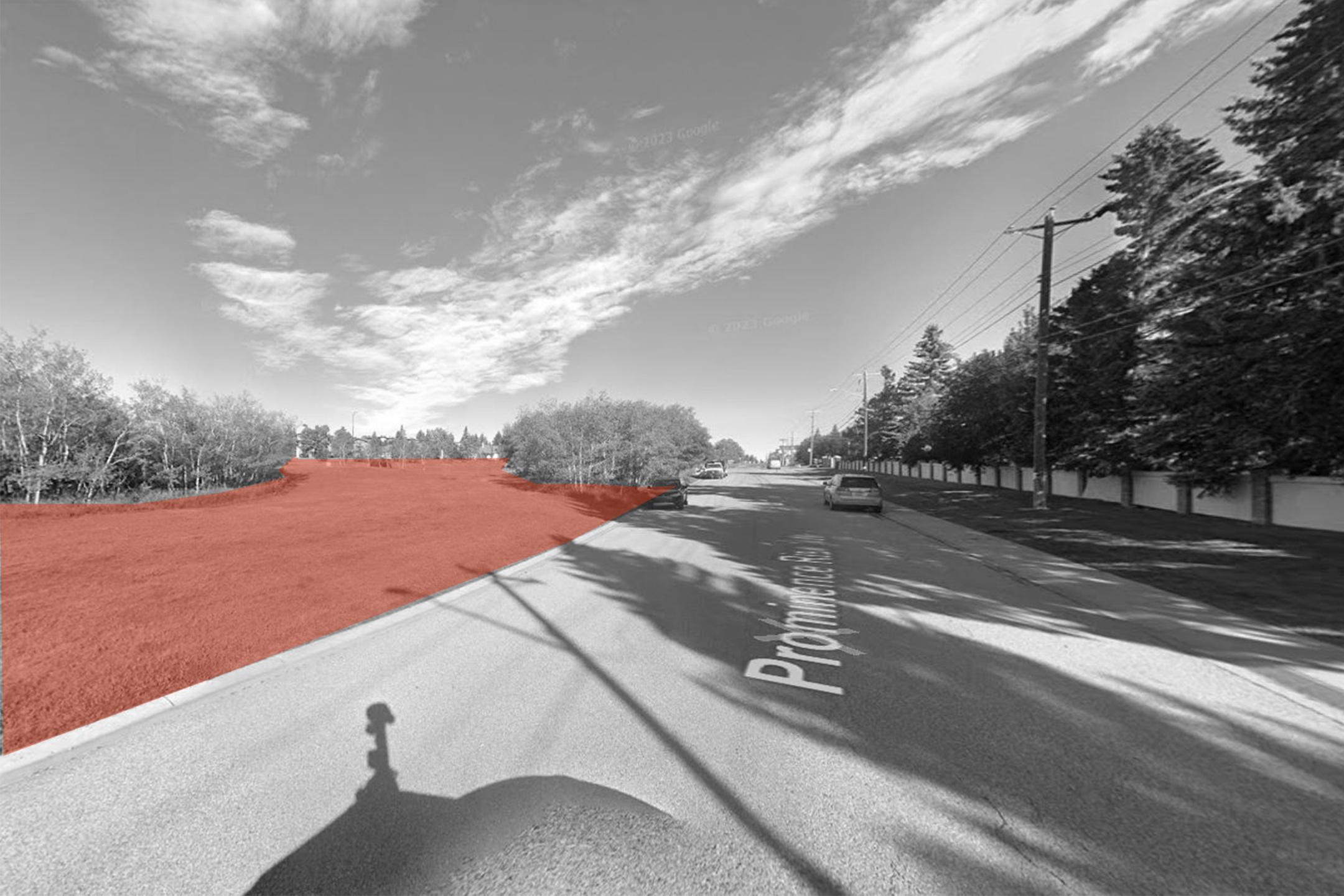
The topography of the site is very hilly. This provides unique opportunities and constraints. Constraints include areas that are too steep for buildable development as well as areas that require slope-adapted buildings to function well. Opportunities include designing key public nodes and parks in areas with the best views of the city and natural areas, so everyone in the comm nit can enjo the niq e iews of the site rather than j st pri ate propert
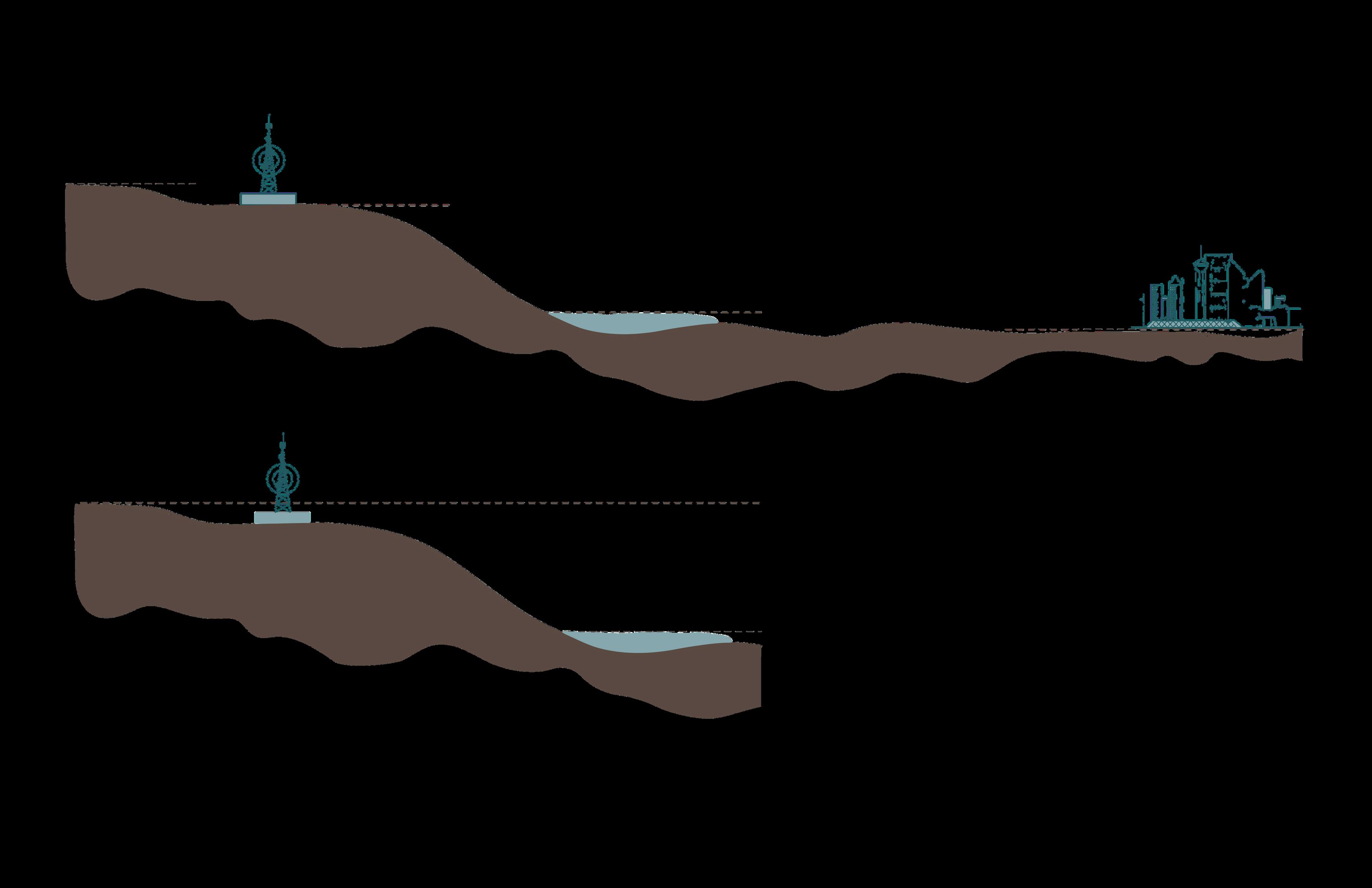
Steep slopes along the CFCN tower (East side)
Steep slopes on the North west edge
Steep Slopes along Sarcee Trail
2.4 | NATURAL SYSTEMS
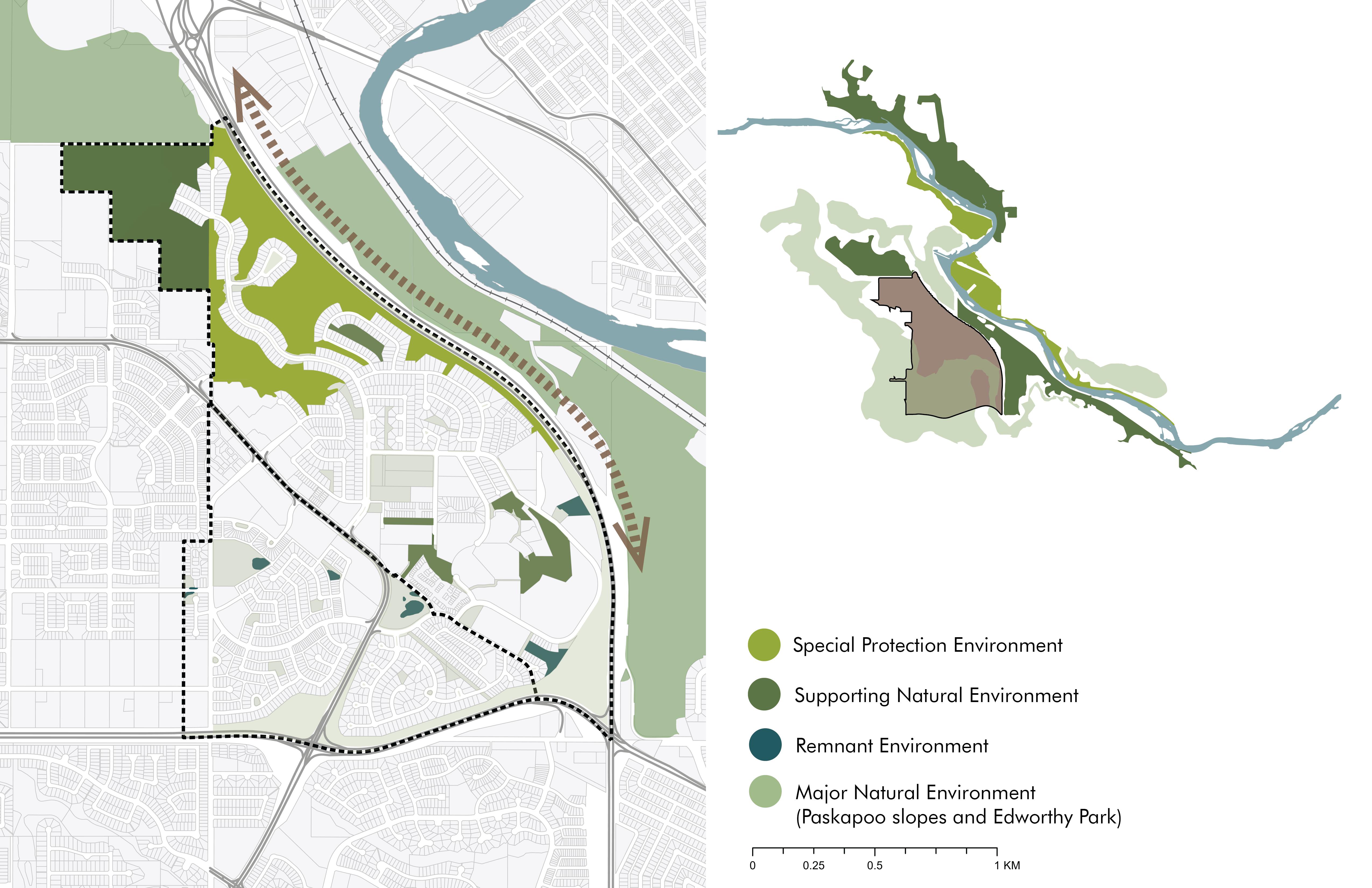
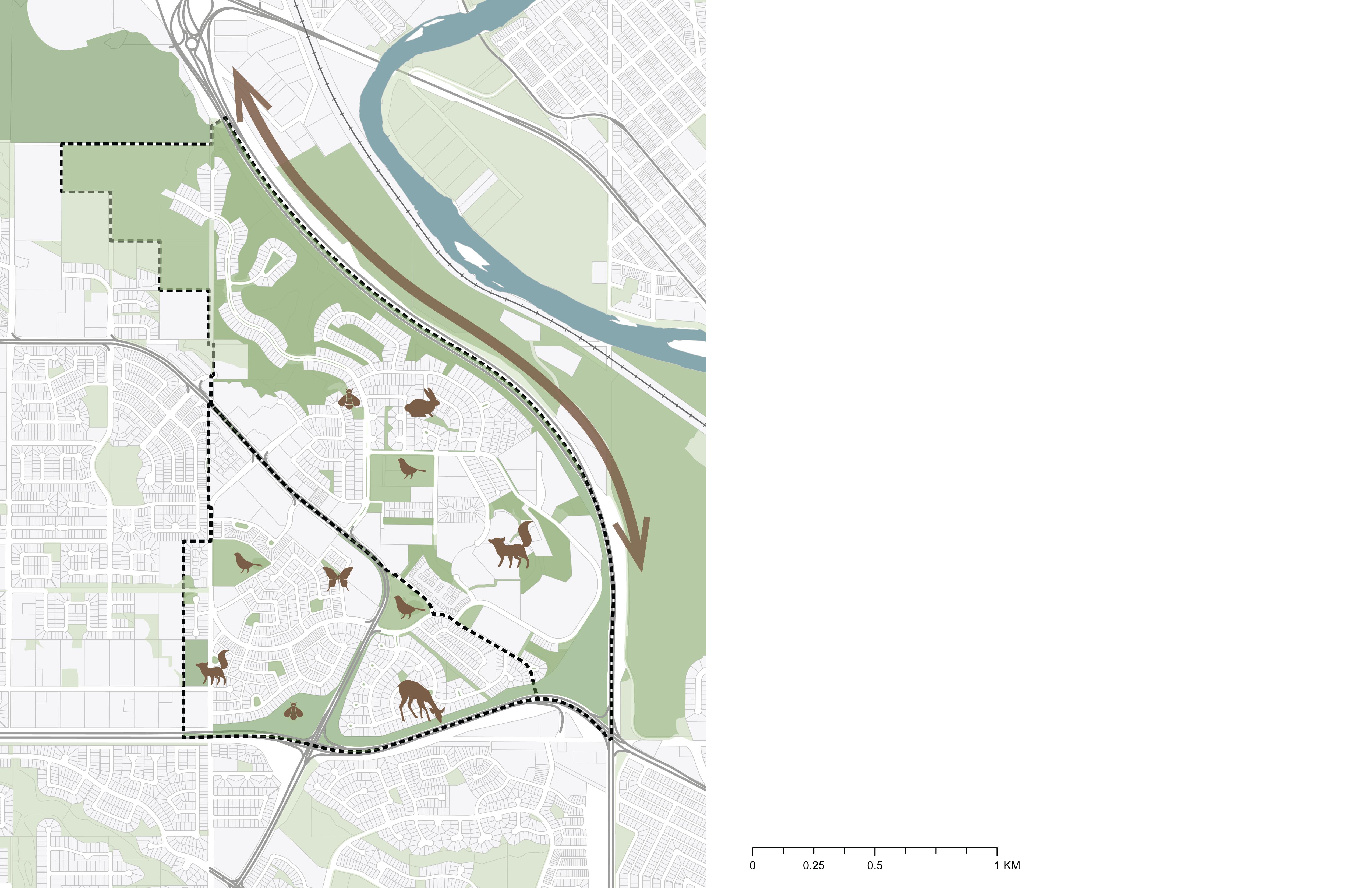
Natural Areas and Habitat
nded by major natural and protected hy Park, The Bow River Valley and es. to these natural areas provides an o support and sustain natural tems. This could be accomplished anting of native species in strategic increasing integration of natural munity.

Old Banff Coach Road SW
Bow Trail SW
Paskapoo Slopes
Grassland Vegetation
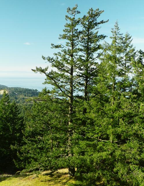
Douglas Fir
Upland Tall Shrub Ramnent Areas
Ecological Network (MDP) - Greening the City
WildlifeCorridor
BowRiver
Wildlife Presence
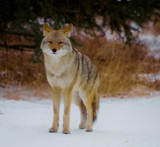
The site boasts diverse wildlife and pollinator species. Most are harmless creatures who coexistence with residents is positive. However, larger wildlife such as coyotes, deer and moose may pose significant challenges if not appropriately addressed. Therefore, considerations are due to ensure the protection and safety of all species but also strategies to reduce negative interactions between wildlife and community members.
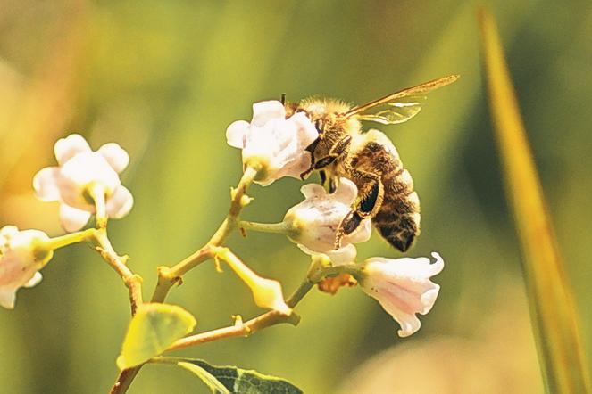
Pollination


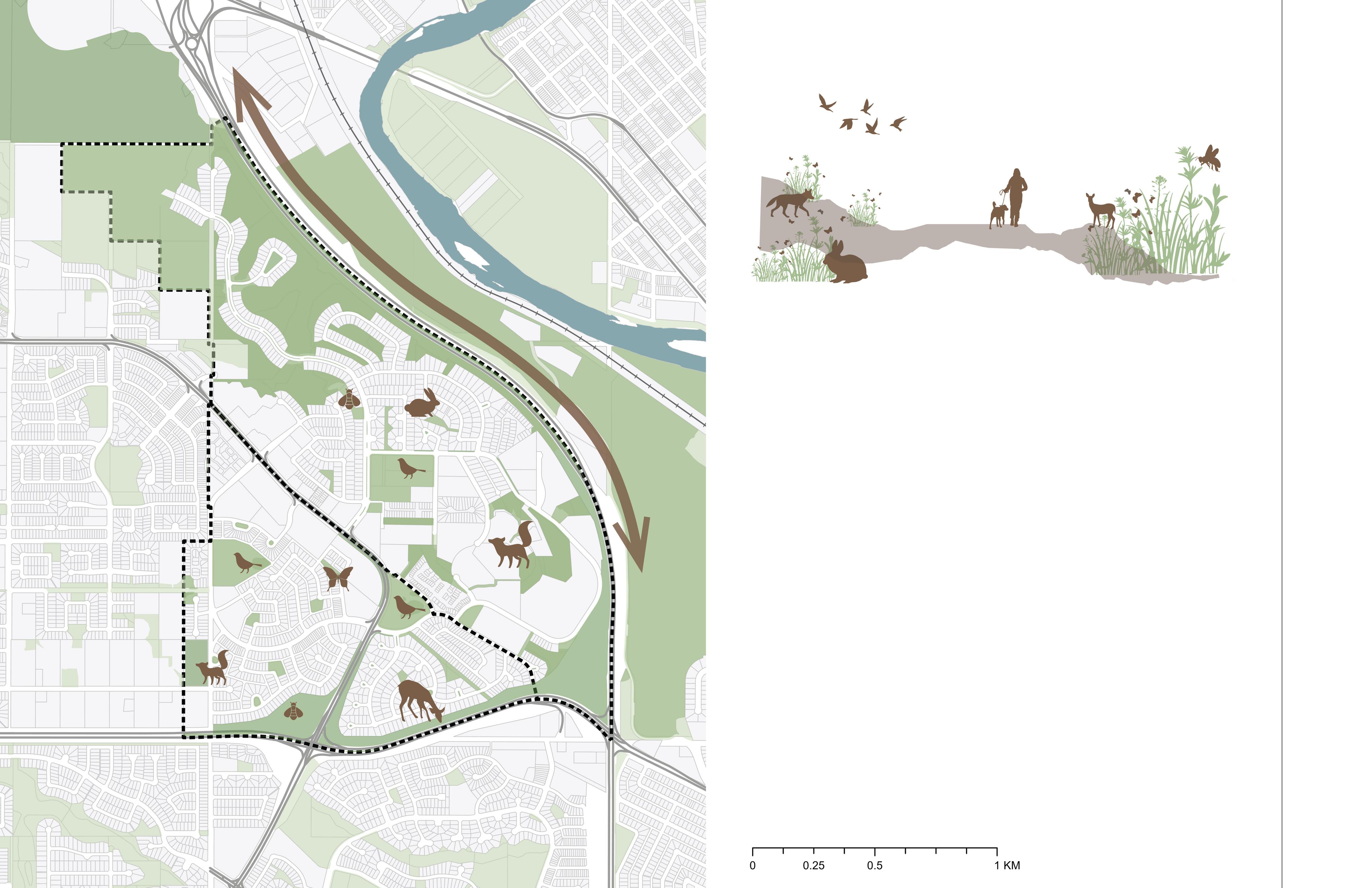
Wild ife species documented in the community
Open Spaces
Coyo e
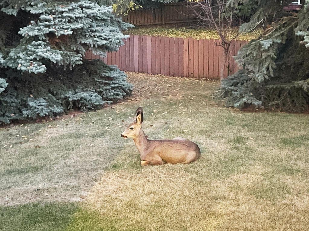
Mule Deer
American Robin
White- ailed Jackrabbit
Common Ringle Western Honey Bee


BowRiver
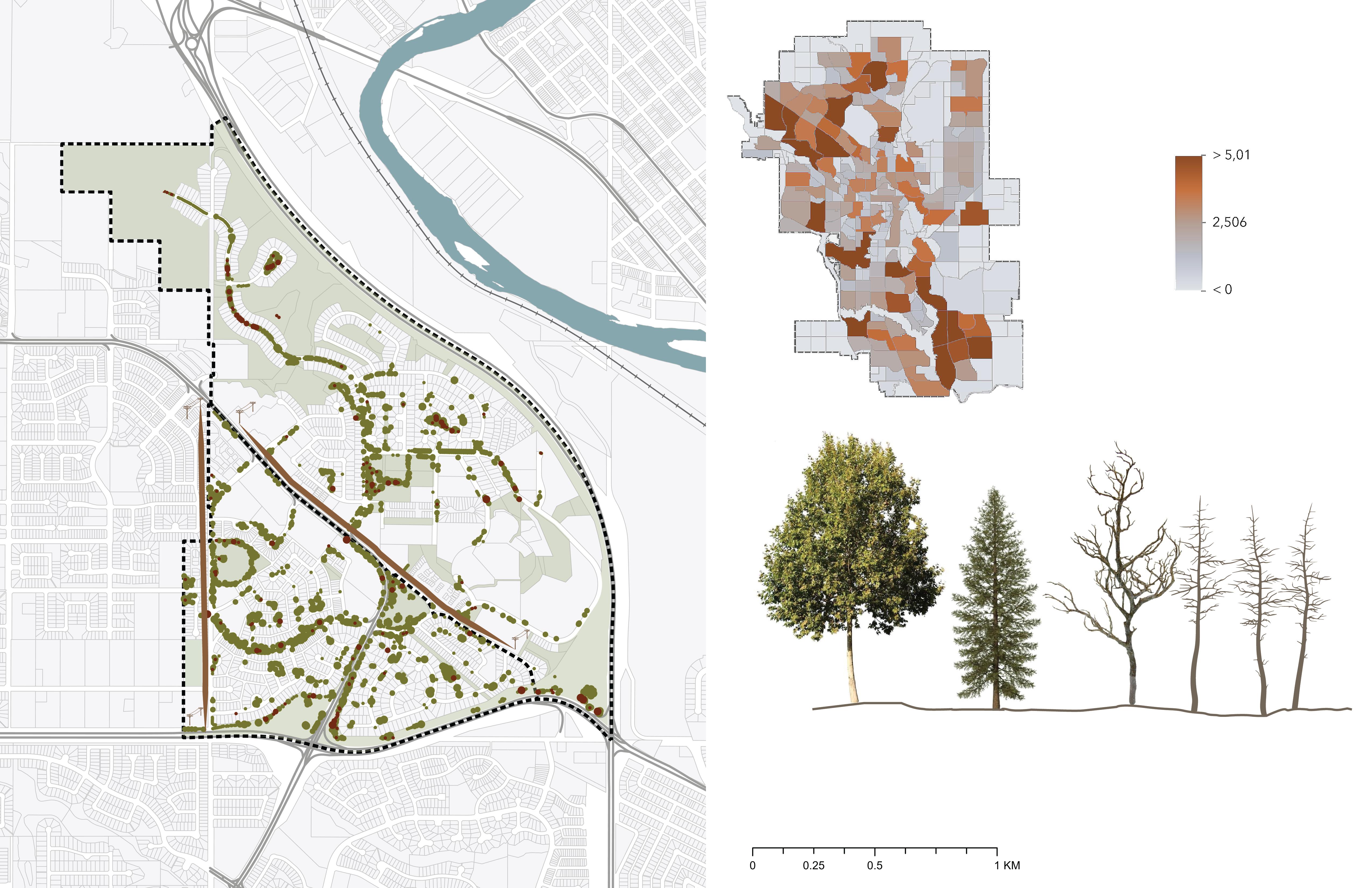
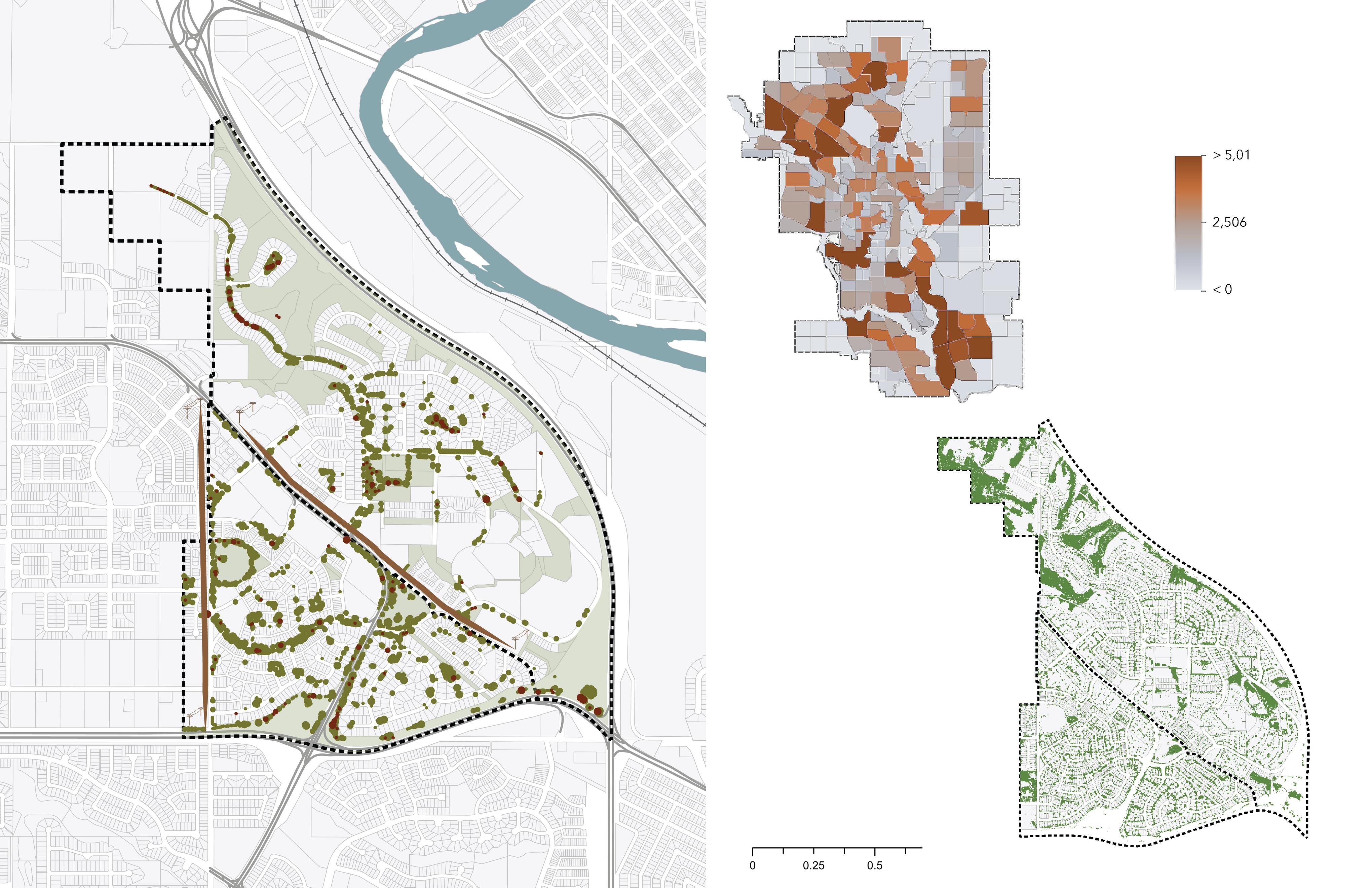
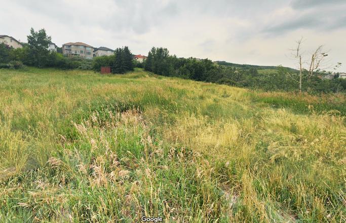
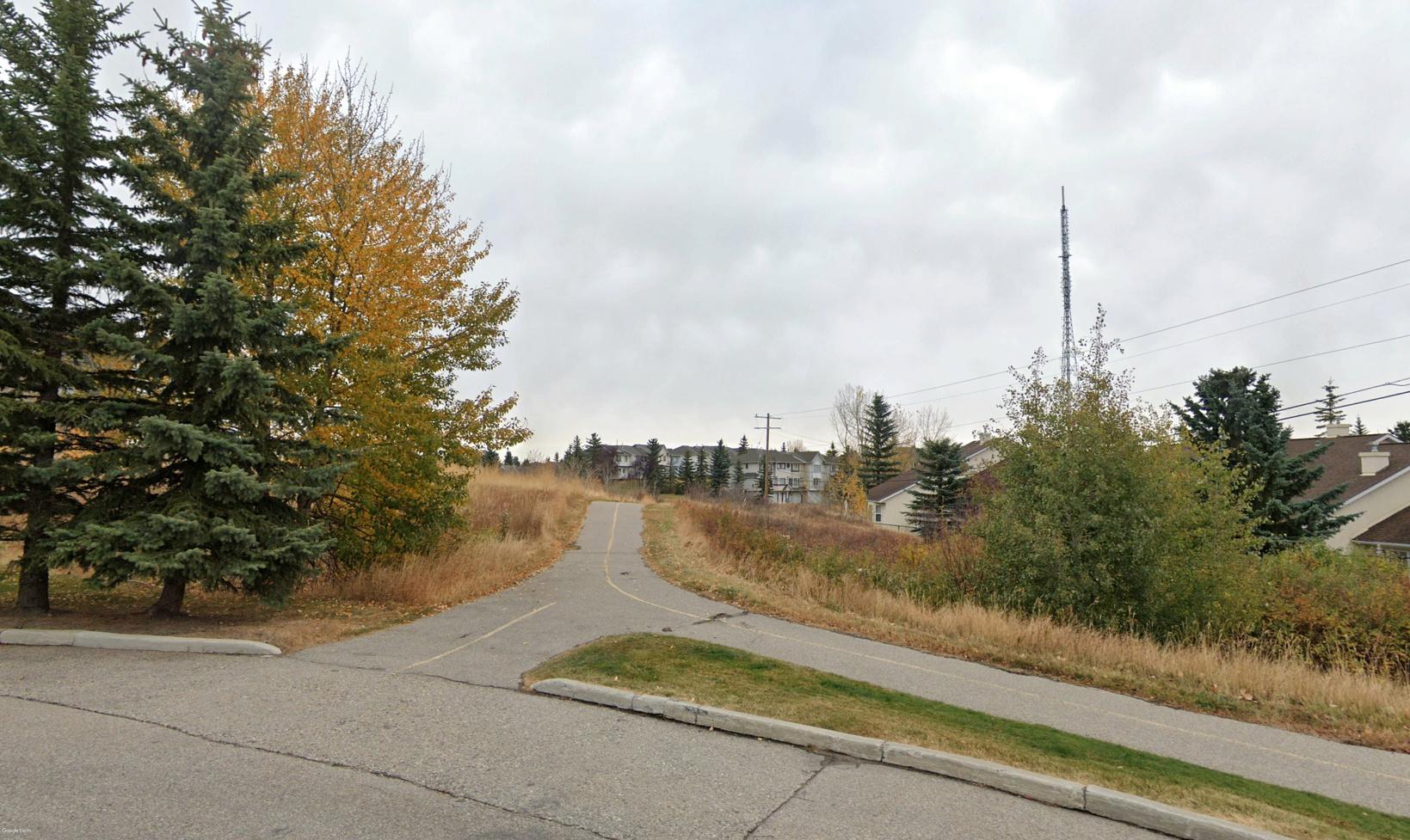
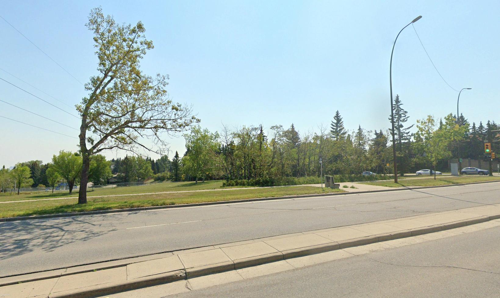
Tree coverage on the site is lacking most in Patterson Heights. However, across the whole community there is a lack of relational design between amenity spaces and landscaping (see figure 2). This poses opportunities for more purposeful landscaping that considers quality public realm, human use and programming.

Impervious Surfaces and Quality of Spaces
Although the site has many permeable surfaces with three large parks and nearby natural areas, many built parcels prioritize on-surface parking. This creates paved areas that lack vibrancy and reduce proper drainage of rain, snow, ice and storm water.
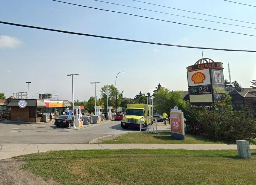
Some notable areas where this occurs include Coach Hill Plaza, the Retirement Community and Odyssey Towers.
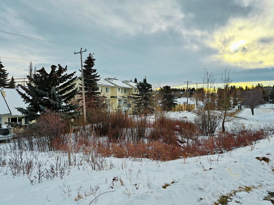
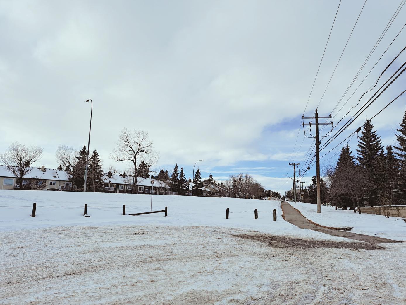
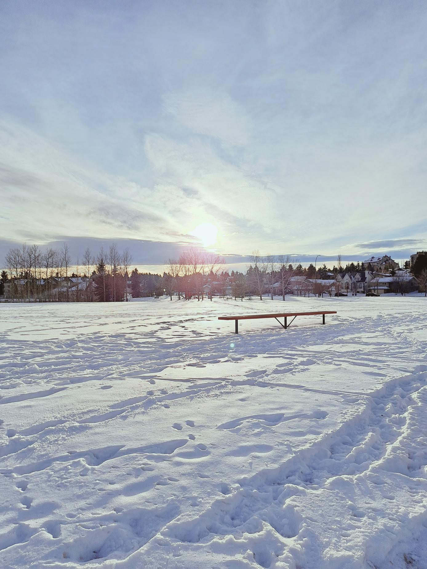
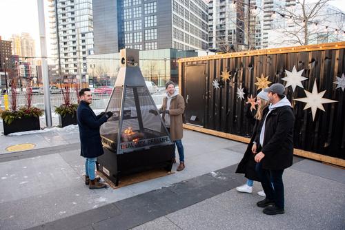
Winter Cities Consideration
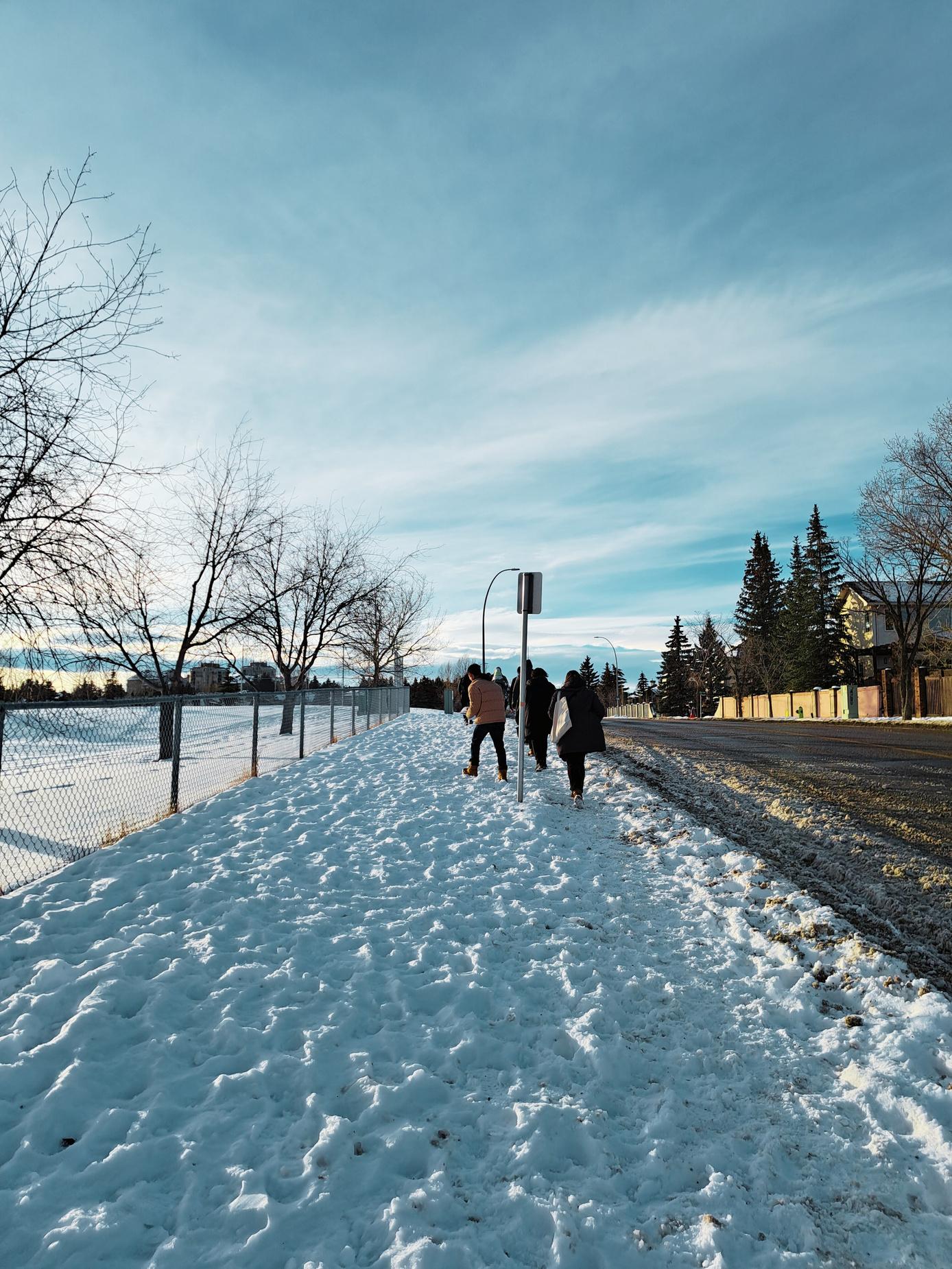
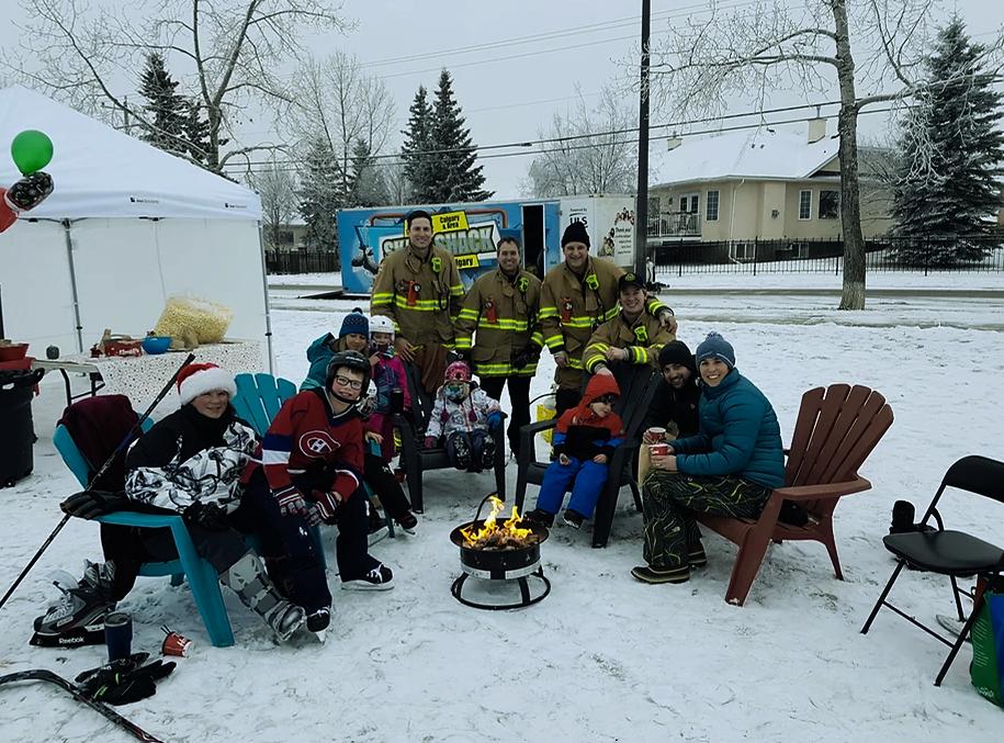
As a winter city, we ensured an analysis was undertaken to understand on how the community functions and thrives over the winter months. Existing winter amenities include one outdoor skating rink and locations loved by community members for tobogganing. However, walking routes between these destinations are of low-accessibility as there is often snow build-up along sidewalks and park edges. This provides opportunities to prioritize and reimagine winter activities and the street quality in the winter season. Moreover, the community lacks community fire pits or heating huts that would provide mor accessibility of these identified areas.
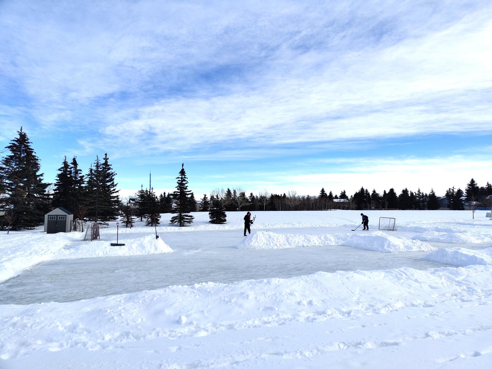
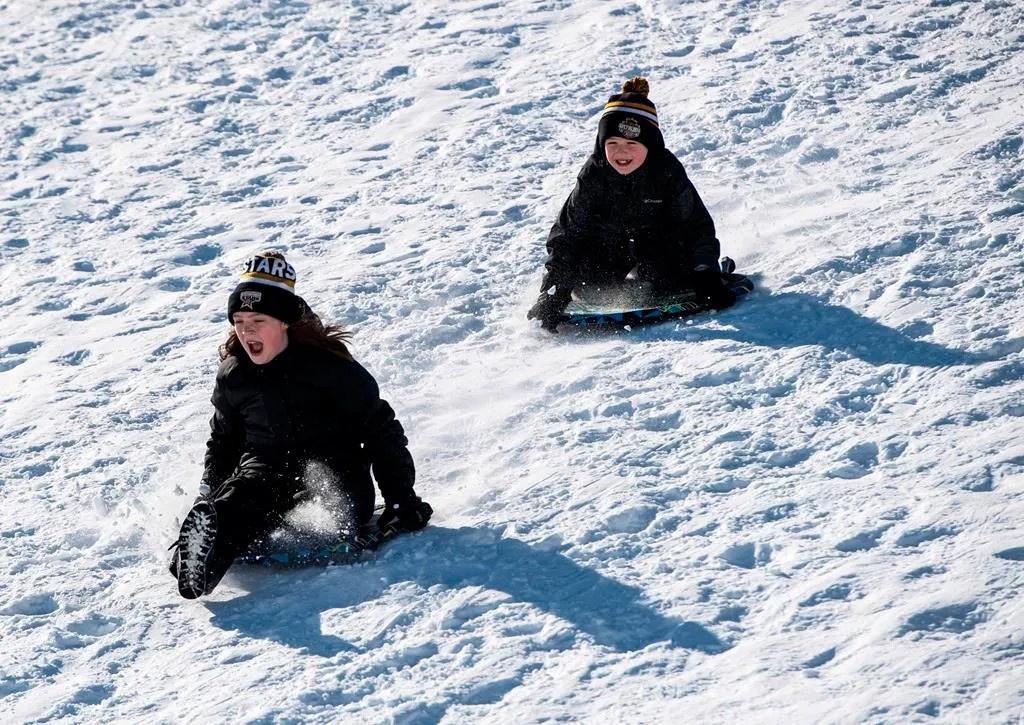
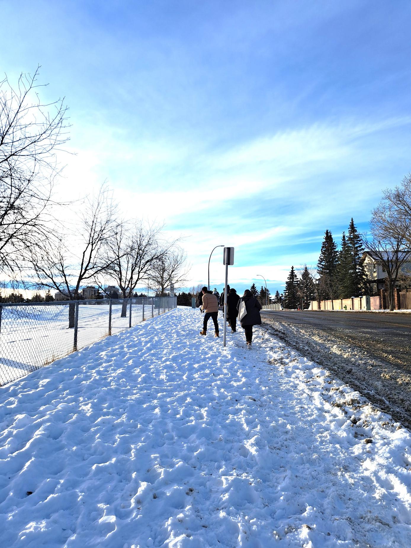

Walking Challenges in Winters
Tobogganing
Skating Area
Street Cha lenges in Winters
Old Banff Coach Road SW
Bow Trail SW
UPA: 10
Buildings/Acre: 2 1
2.5 | BUILT SYSTEMS
Back lanes have the potential to become unique pedestrian corridors, especially if more secondary suites with front access onto the back lane are developed.
Blocks with back lanes also feature the most street trees, as servicing occurs primarily in the back.
distinct design loops oritize s and e few ontain direct ontain d are rtable the Bl k P ttern
Old Banff Coach Road SW
Banff
Land Use Zoning
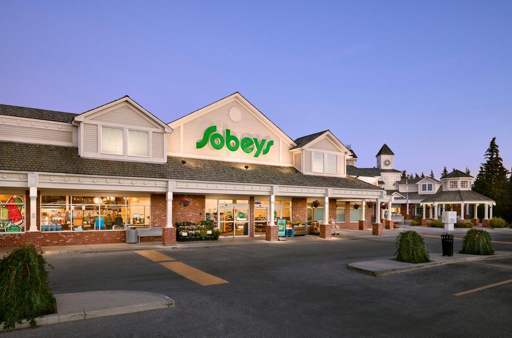
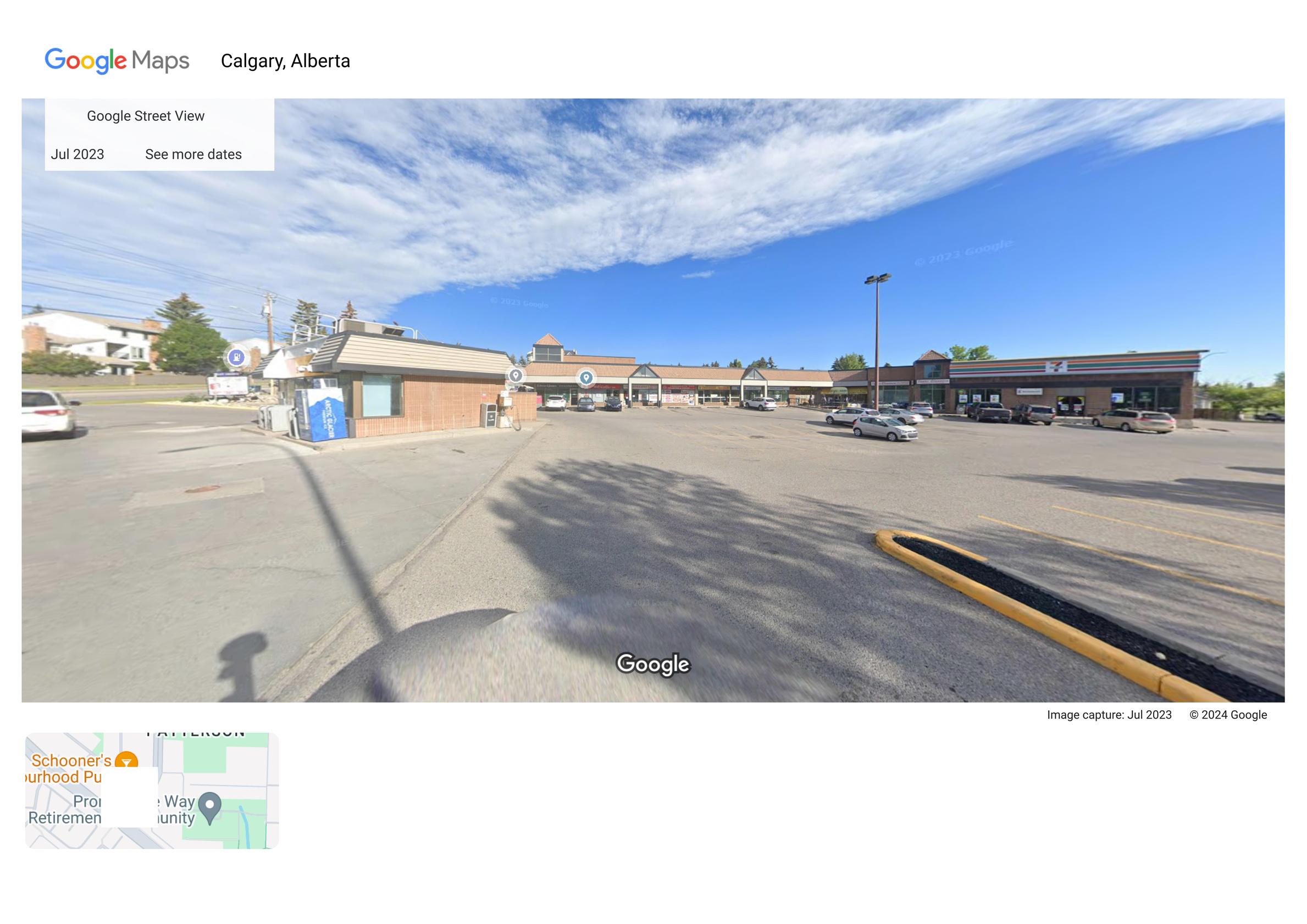
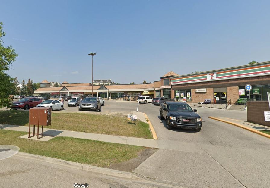
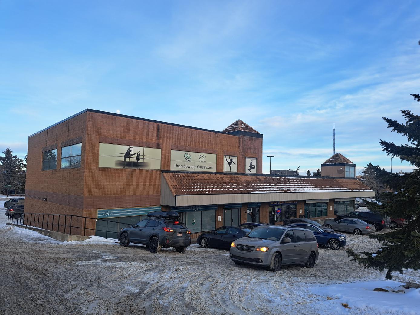
Currently, one of the gaps in the community is the limited amount of commercial present in the neighbourhood.
However, the existing node of commercial is well-used and an important activity node. It is a potential site to design a thriving and vibrant neighbourhood centre and public realm.
O d Banff Coach Road SW Bow
BowRiver
2.5 | BUILT
Parcel Sizes and Ownership
Parcel sizes vary greatly in the neighborhood, with some being larger, particularly in the warped parallel block type, making them suitable for laneway housing due to their size and the presence of back lanes.
Additionally, there's a significant portion of land owned by the city in the neighbourhood, much of which is undeveloped open space.
This presents an opportunity for either public space or development, including the possibility of redesigning the transportation right of way along Bow and Sarcee Tr, which is currently underutilized.
Approximately, of the land in CHPH is owned by the City of Calgary.


Building Types
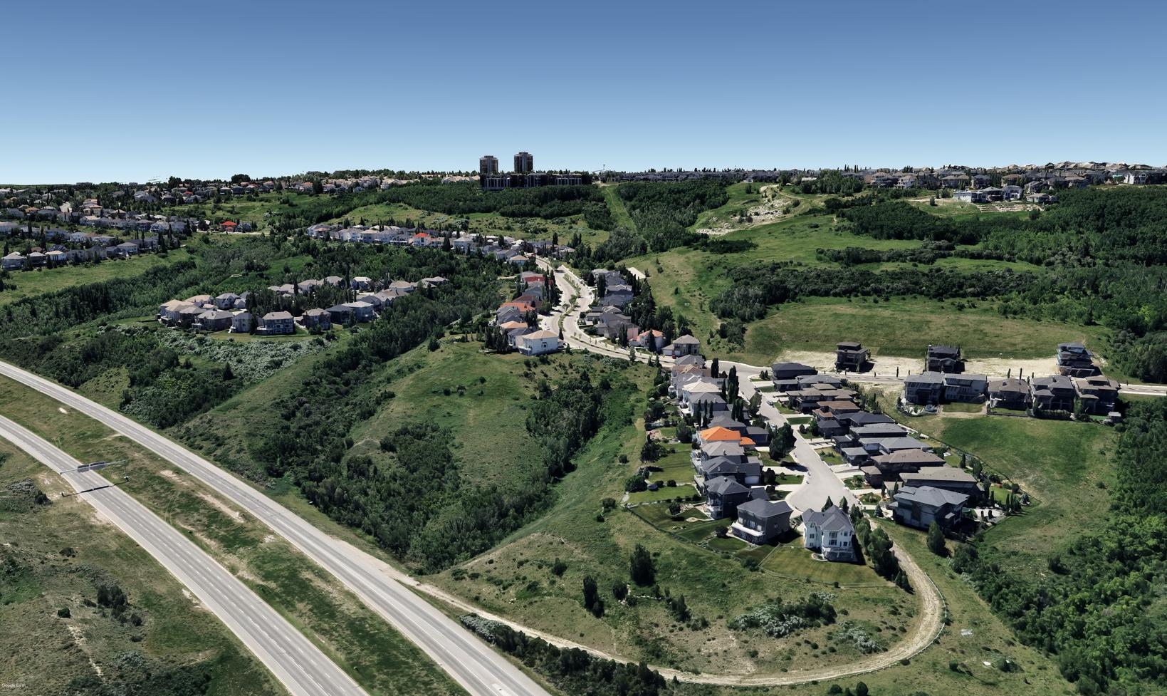
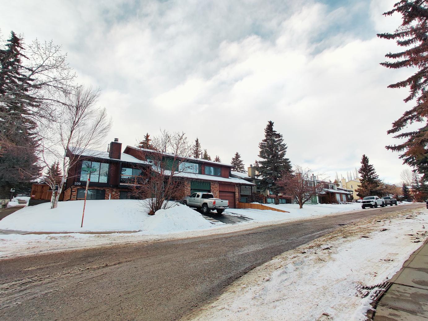
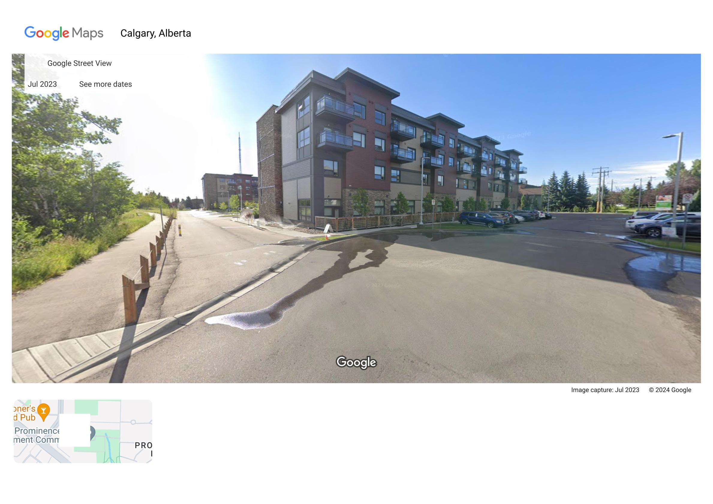
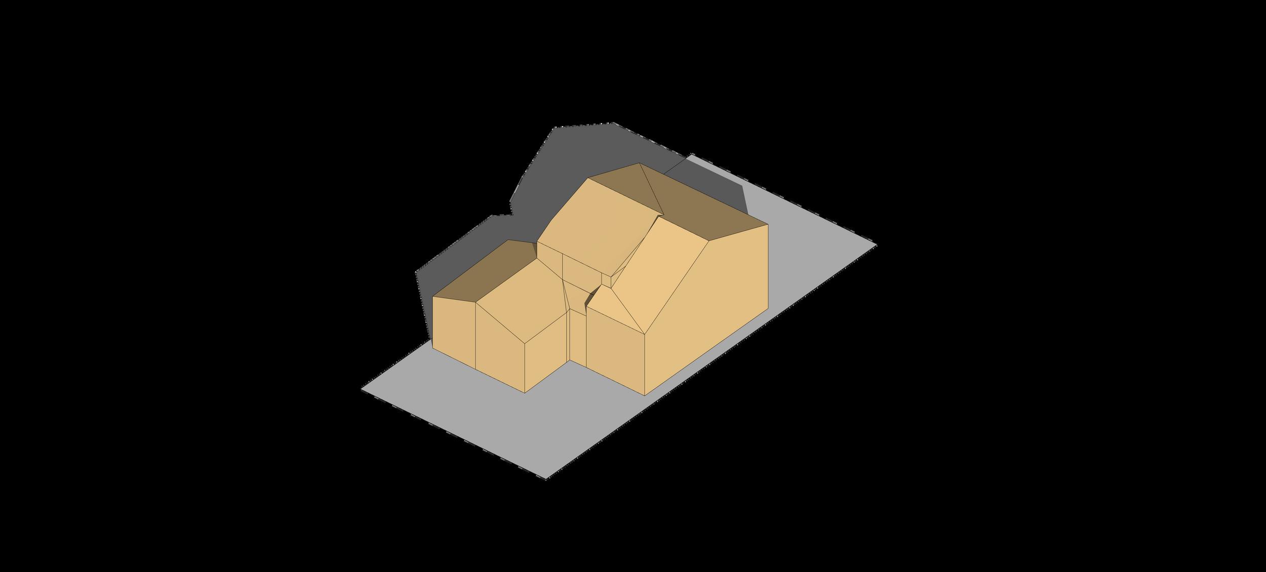
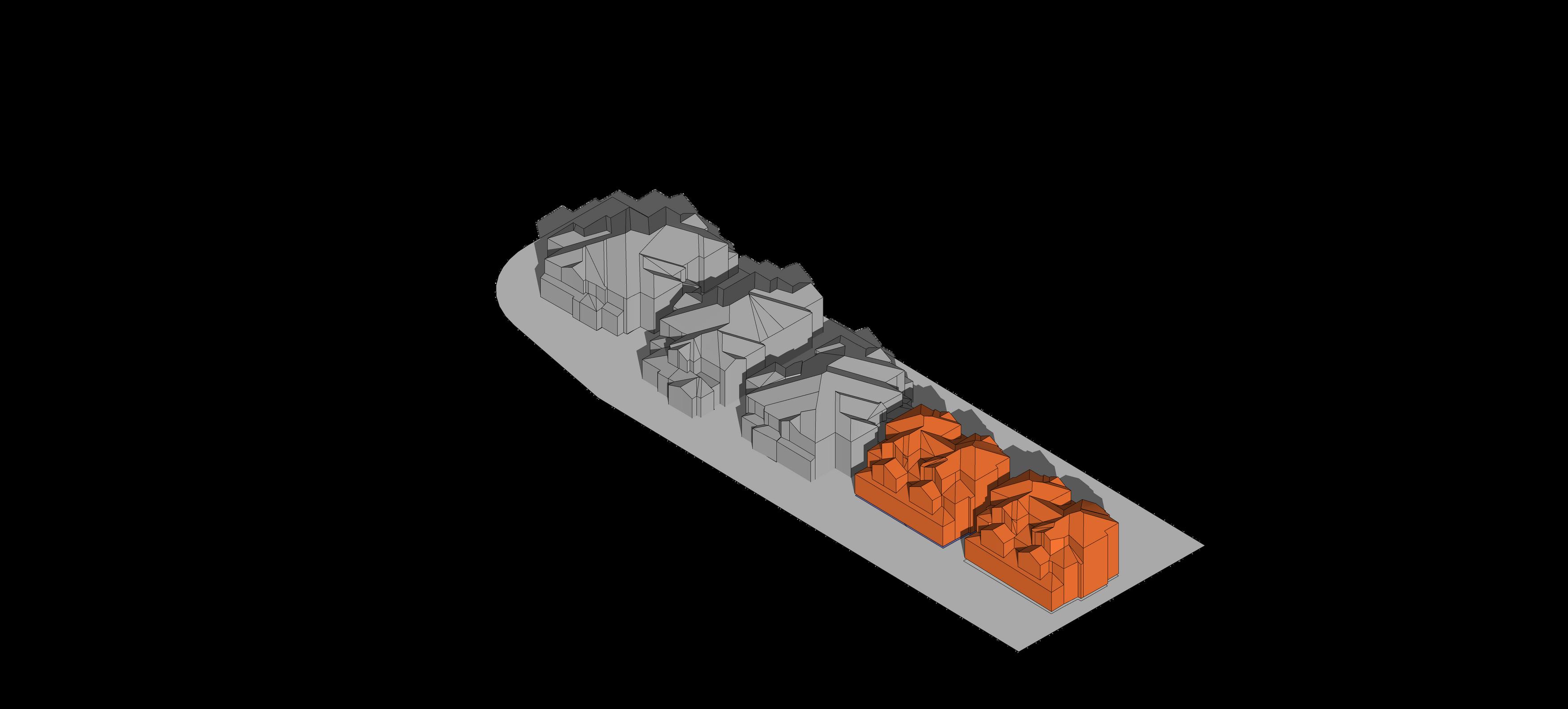
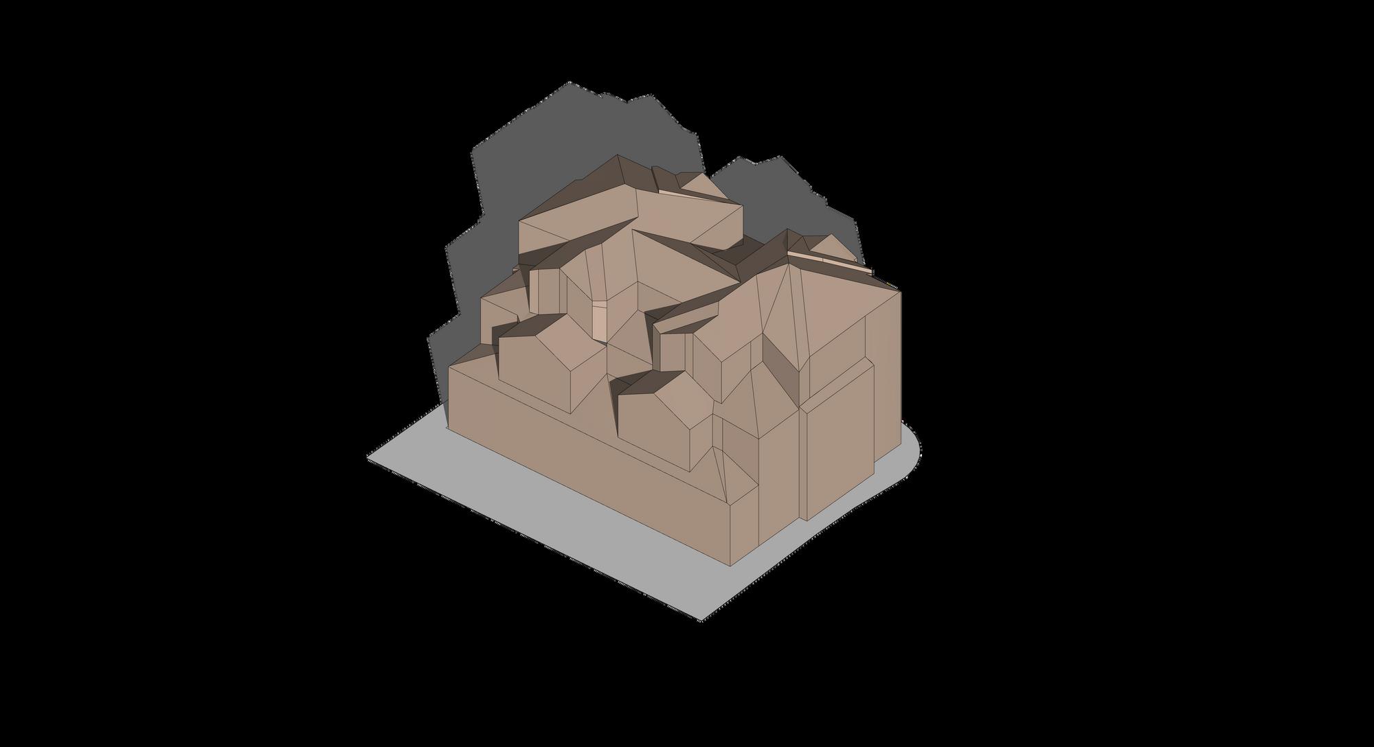
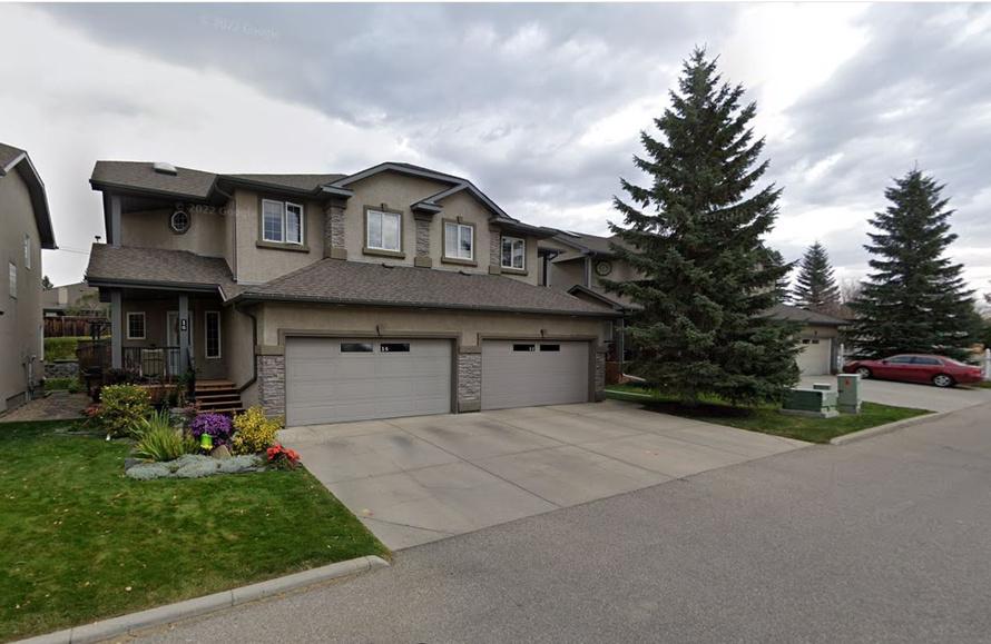
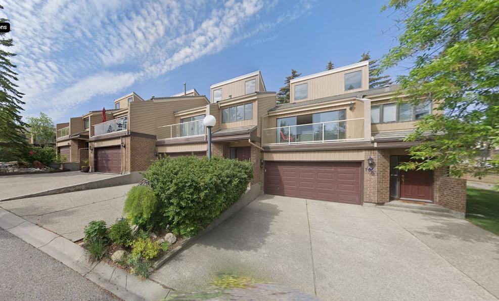
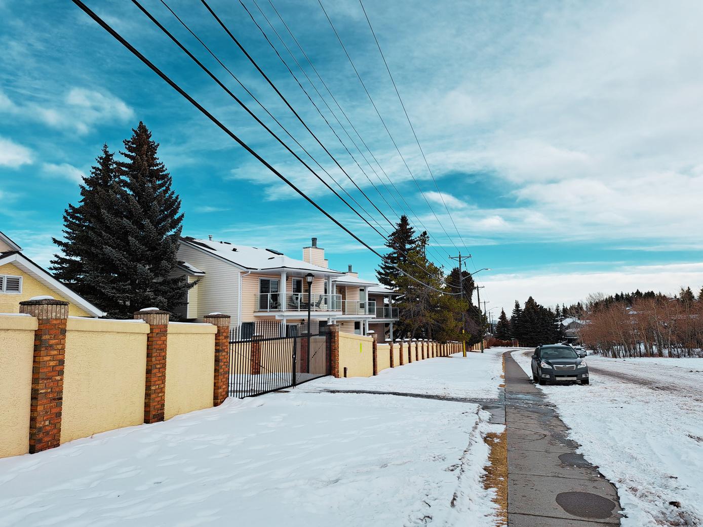
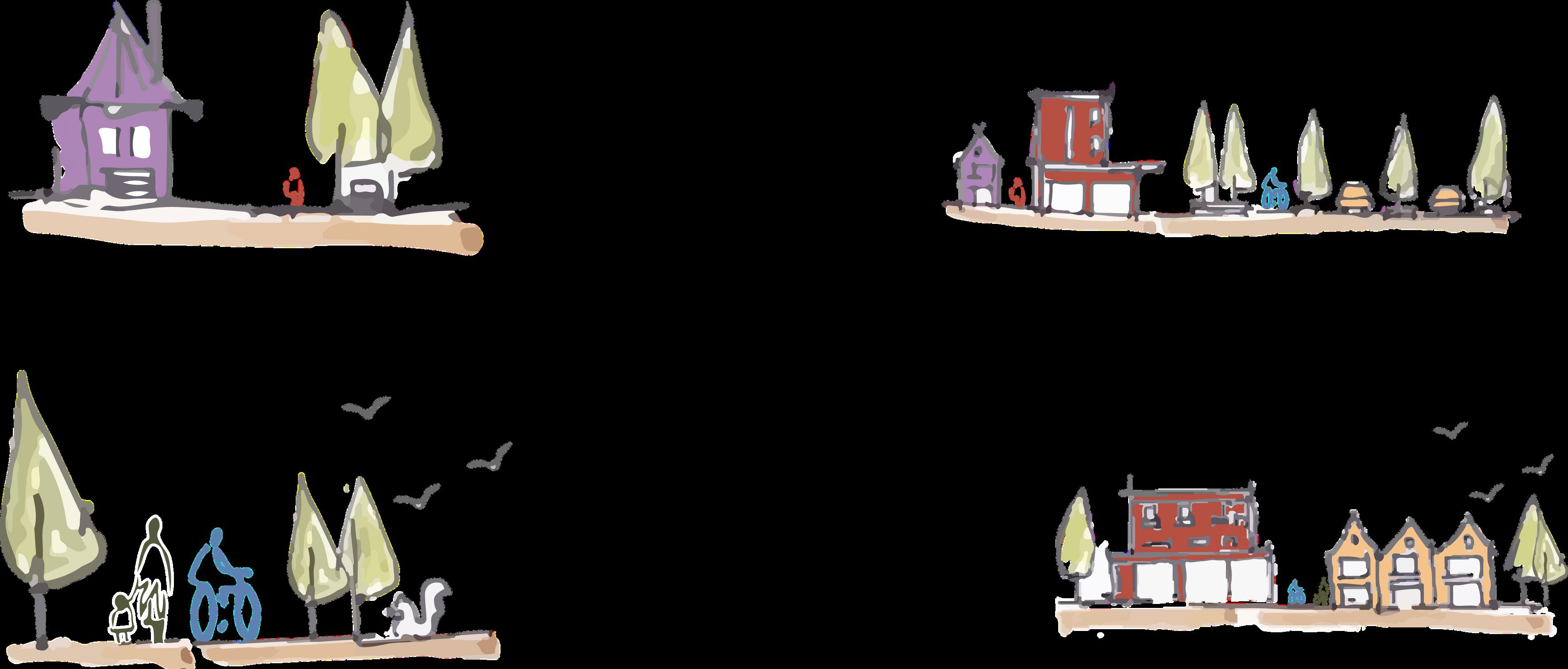
One of the unique characteristics of Coach Hill and Patterson Heights are the wide range of residential building typologies that are present in the neighbourhood including detached housing, duplexes, many different types of townhouses, low-rise multi-unit residential, and a couple residential towers.
These unique typologies contribute to a unique character, sense of place and community. They build the foundation for the neighbourhood to support diverse needs and preferences of different demographics, all within the same neighbourhood.
Old Banff Coach Road SW
Bow Trail SW
BowRiver


Despite the lack of zoned retail spaces in the community, residents have established home-run businesses. This use of housing suggests a need for a building type that allows people to work close to where they live.
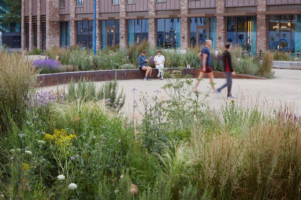
Programmed events such as the stampede breakfast in the Coach Hill Plaza parking lot suggest that further activation of spaces typically used just for cars would successfully create a vibrant and thriving public realm.


Old Banff Coach Road SW
S empede Breakfast in Parking lot Little Free Library Community Association
Jan’s Garden
2.5 | BUILT SYSTEMS
Existing and Missing Building Type


Single Fami y Duplex Triplex
Fourplex Townhouse Apartment Mixed use Laneway Housing Commercial
Coffee Shop Grocery
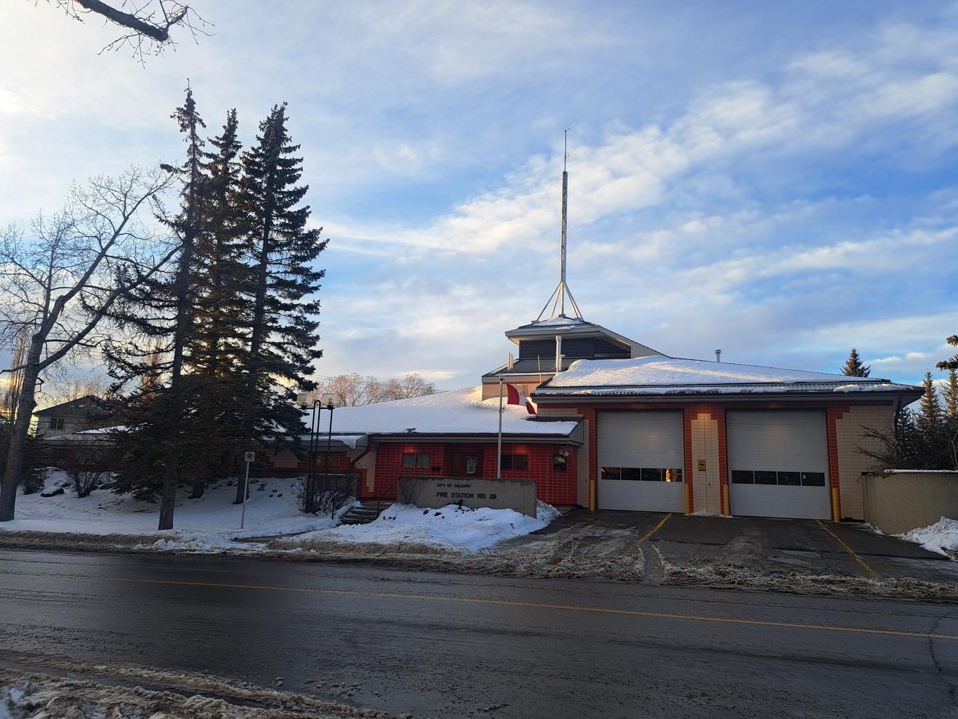
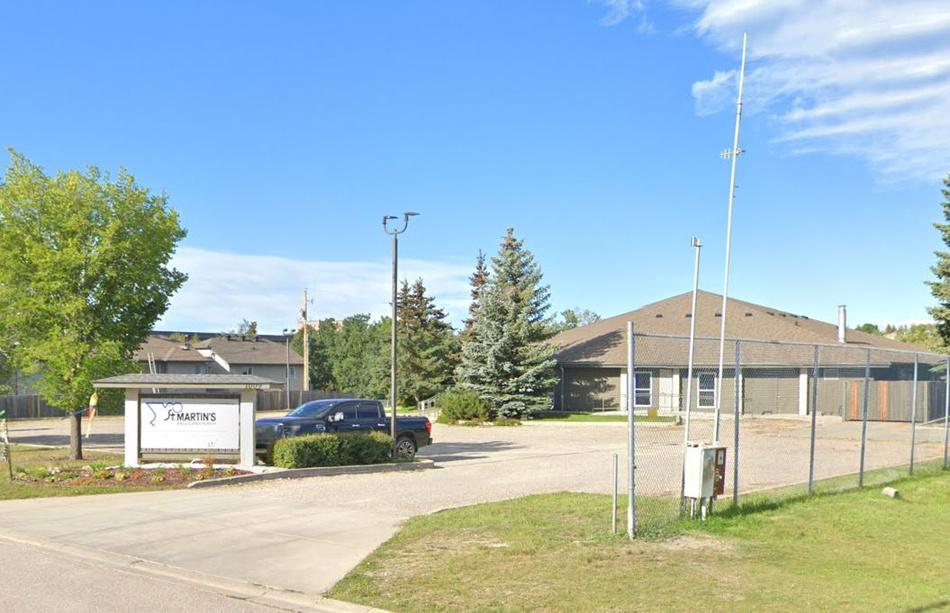
Fire Station Communty Hall St. Martin’s Church
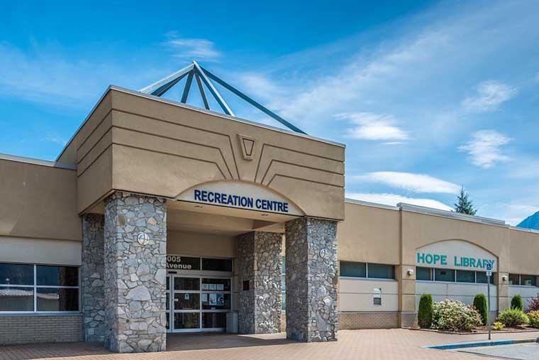
School Recreation Centre
3.1 | SITE VISIT
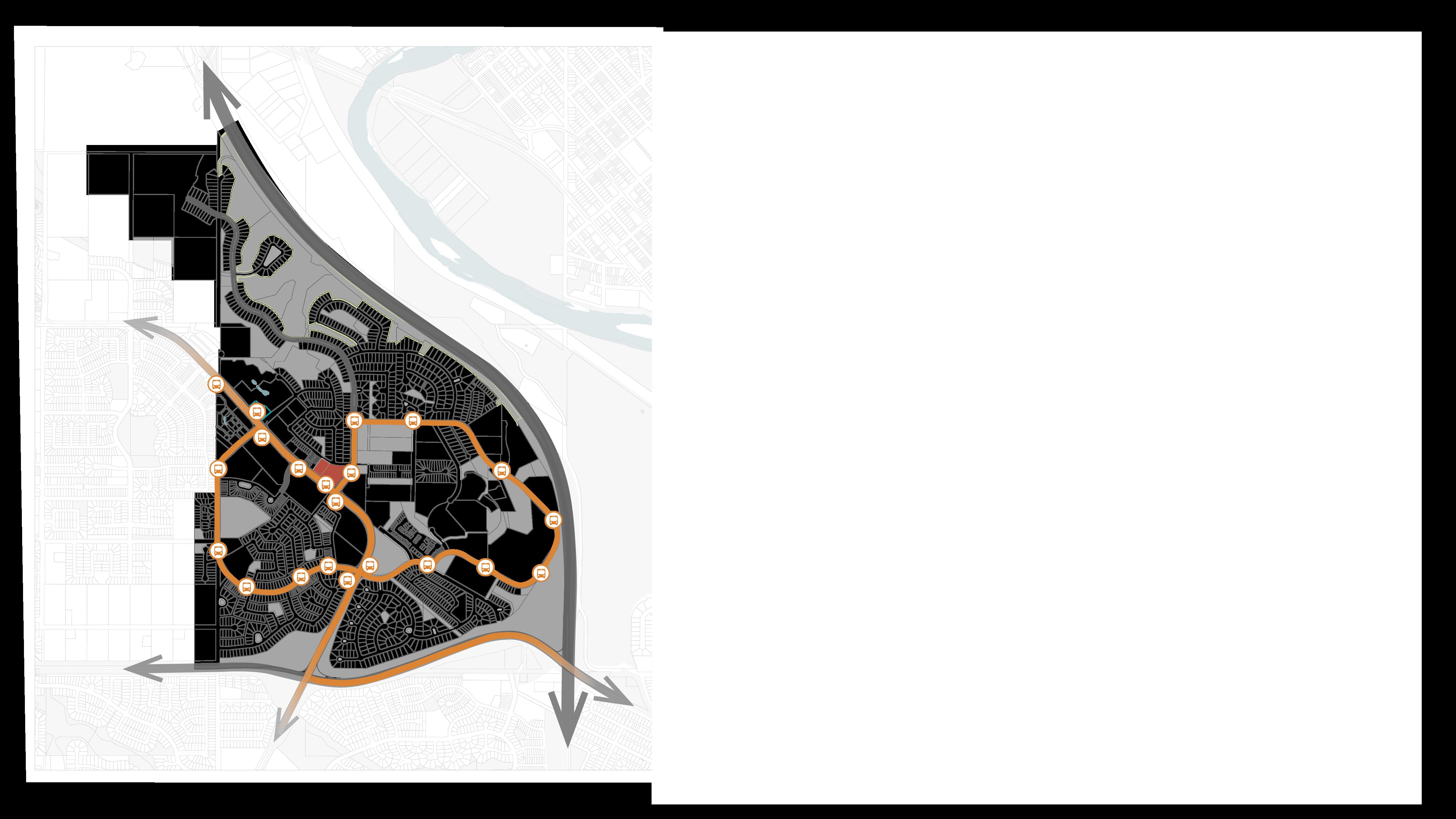
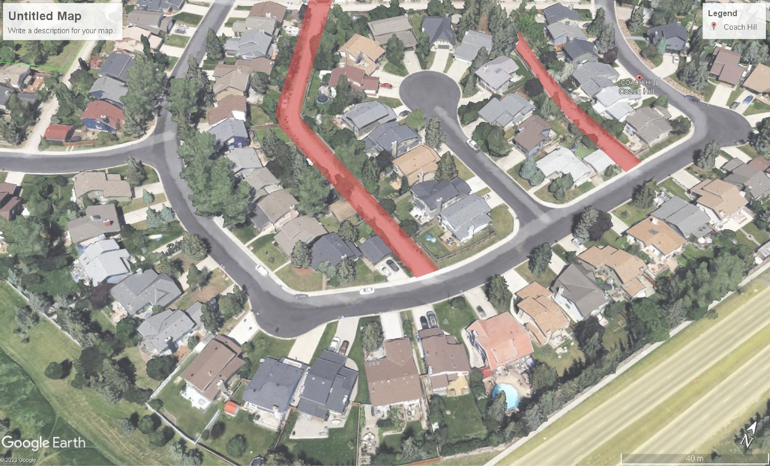
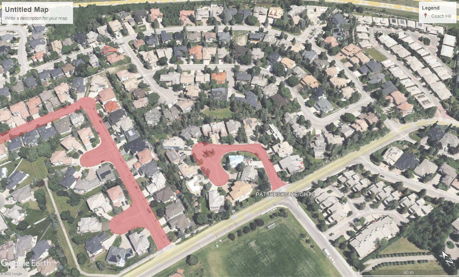
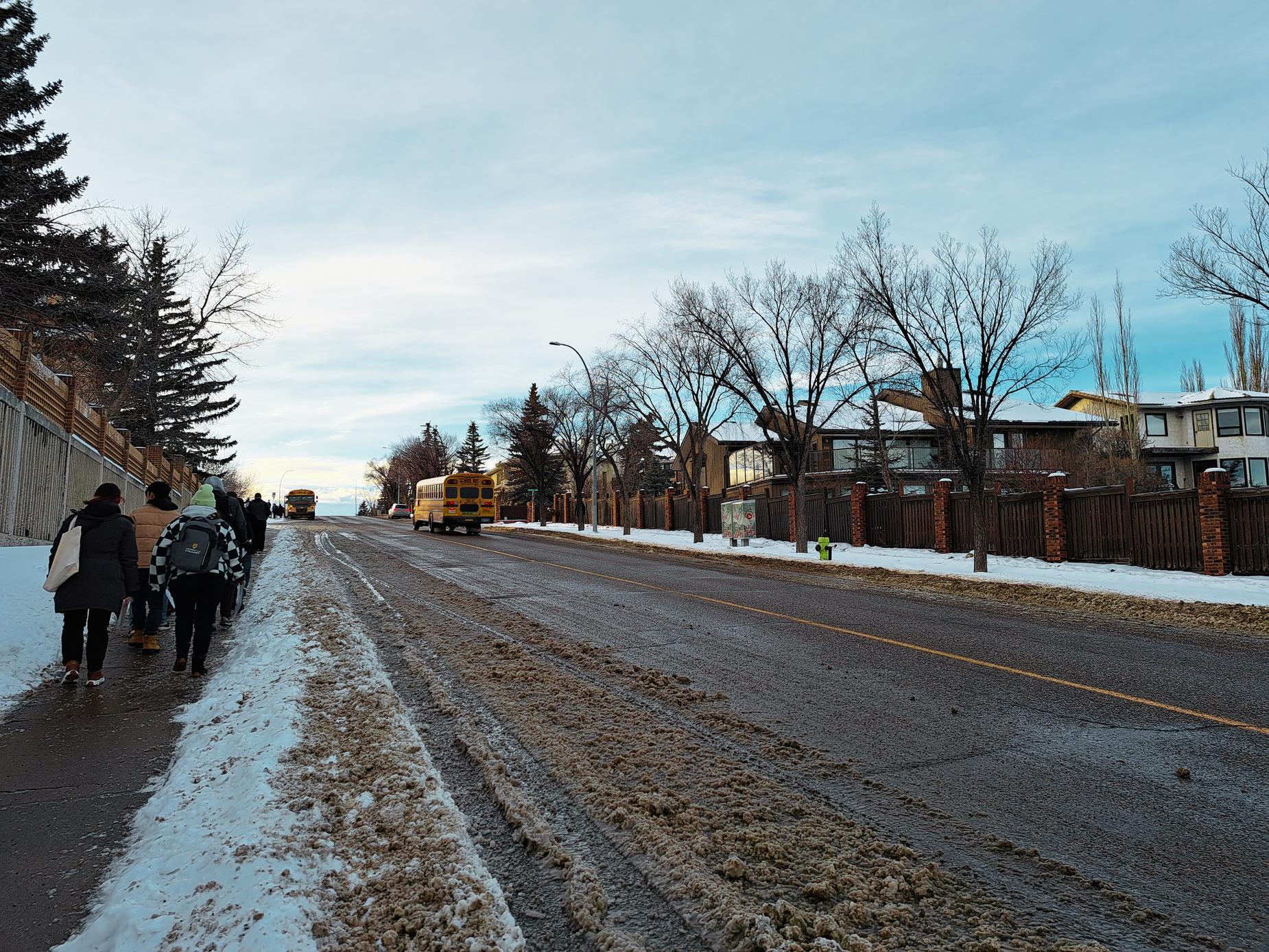
Community Walk | January 19th, 2024
Our first visit to the community was a community walk to gather first impressions and begin the analysis process. An on-the-ground experience was essential for a full understanding of the community. We took note of unique character-defining elements, the street experience, and features of open space and built form.
Community Walk Route
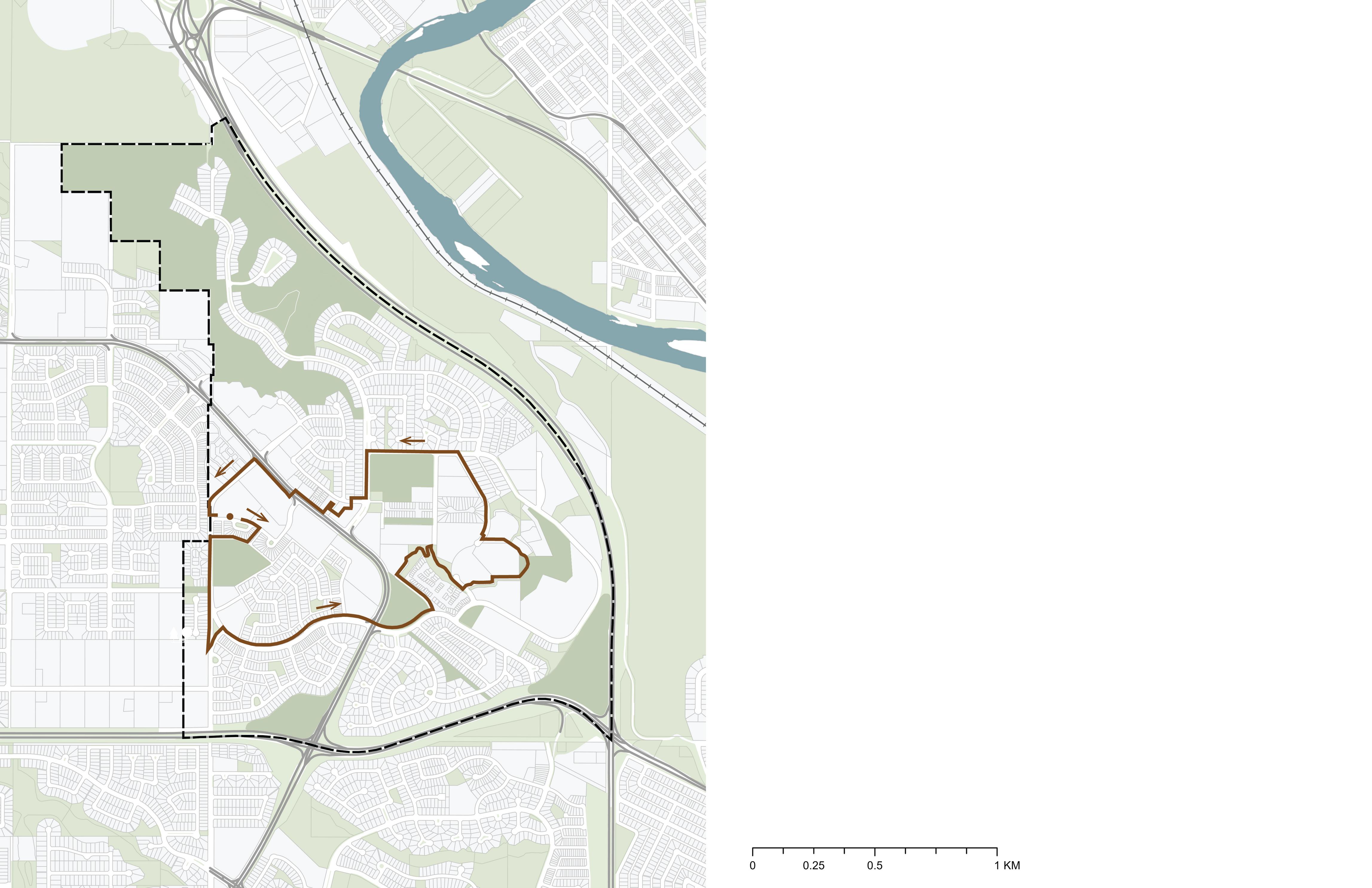

O d Banff Coach Road SW
Bow Trail SW
BowRiver
Group Photo at the CFCN Tower Look Out
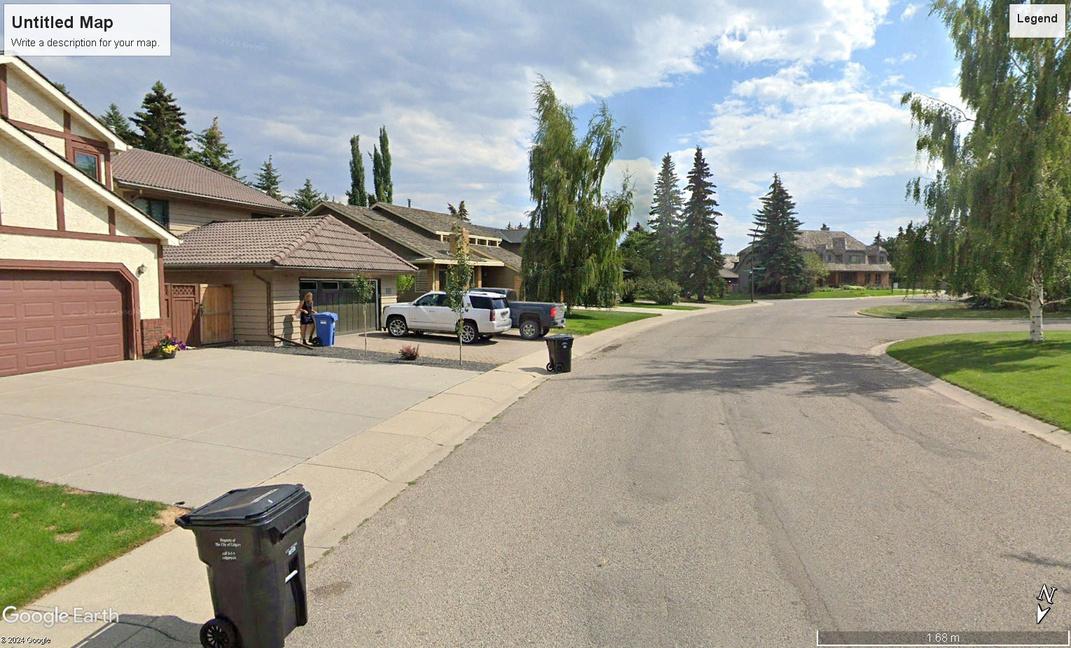
Street behind Off-Leash Dog Park Walking along Patina Drive Walking in Coach Hill Plaza
Community Walk Summary
Unique Community Character

Along the walk, we noted key community landmarks and character elements such as the CFCN Tower, the Coach Hill sign, and unique architecture such as the Coach Hill Bluff Villas.
Open Spaces

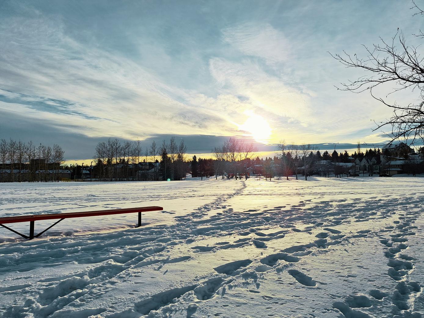
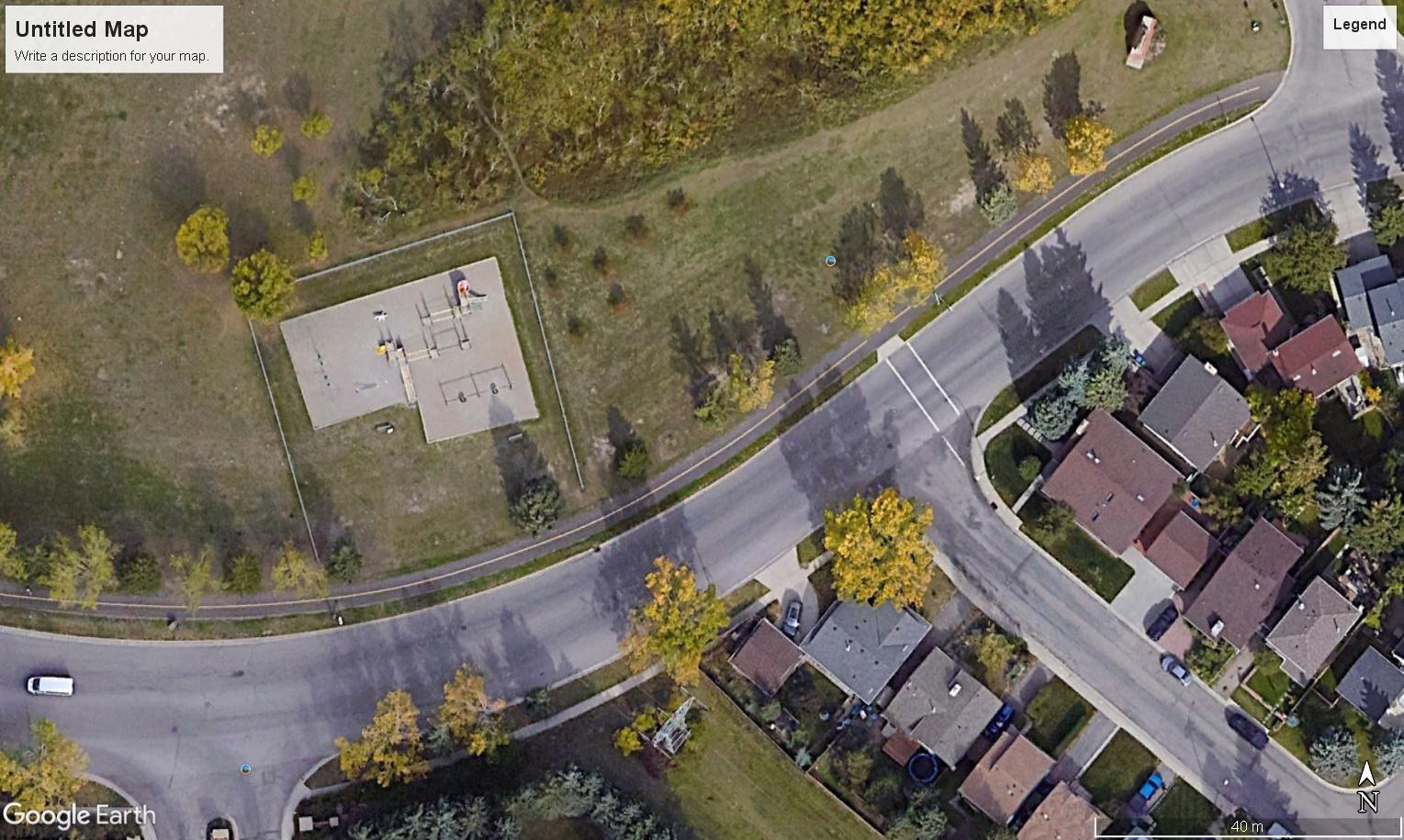
We encountered an abundance of open space along the walk in the form of remnant natural areas, hilltop views, recreational areas, and open fields. Walking along the edges of these spaces, we found the spaces could be better programmed and integrated into the surrounding community to be more usable for residents.
Street Experience
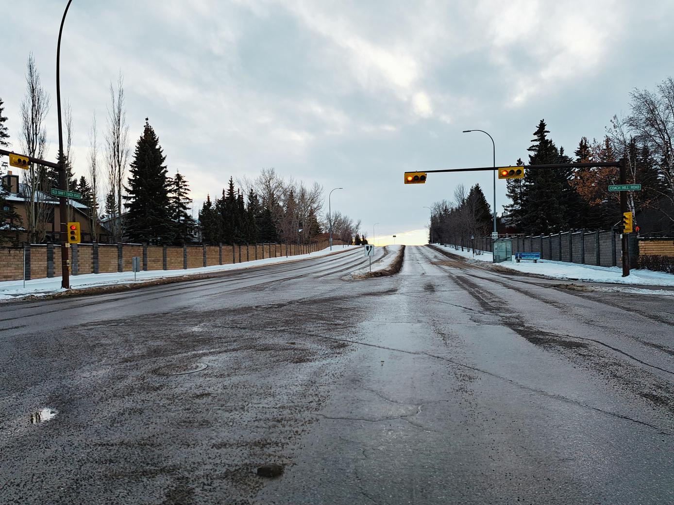
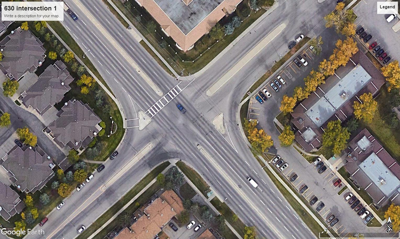
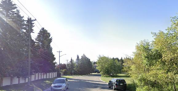
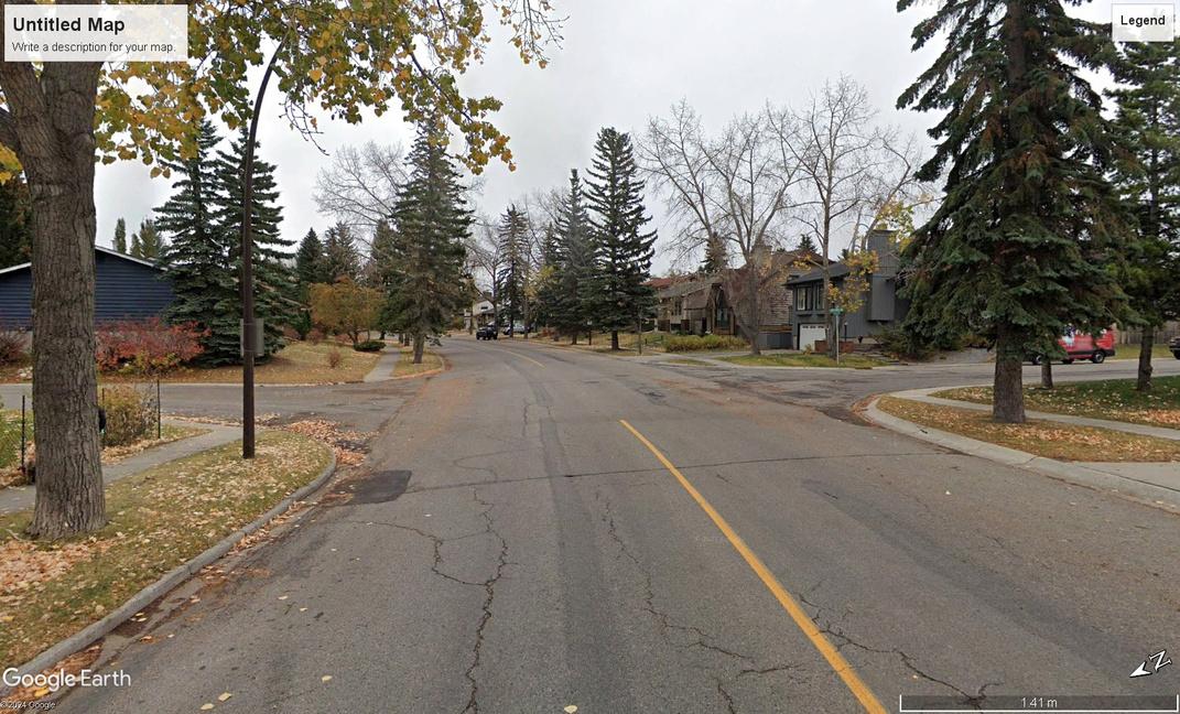
The walk helped us gain insight into the condition of community streets and public realm. We found many of the streets lacked comfortable space to travel, especially Old Banff Coach Road due to wide lanes, a lack of crosswalks, missing sidewalks, and a lack of active uses facing the street.
Built Environment
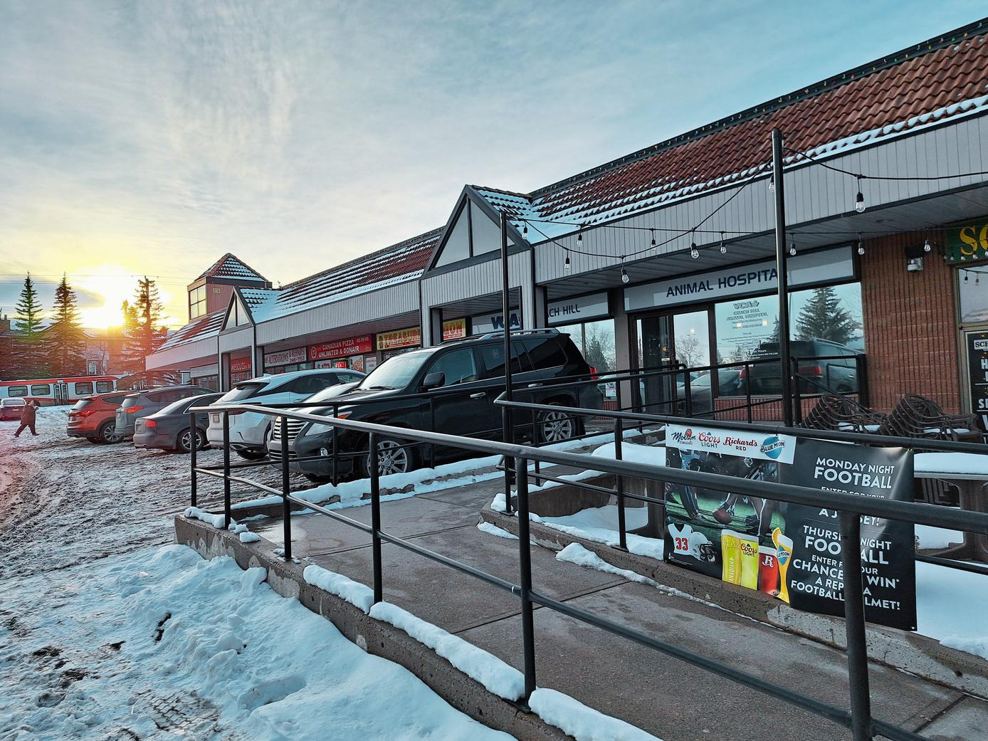
We encountered a diversity of housing types along the walk. While single detached was the majority of what we encountered, we did notice different typologies of townhouses. Odyssey Towers are the only high-rise buildings in the community. We also visited the one commercial node in the community, a strip mall.
CFCN Tower
Coach Hill Community Sign
Coach Hill Bluff Villas
View of Old Banff Coach Road View beside Coach Hill Park View of Patina Drive
Berry Bushes along Community Trails Coach Hi l
in Coach Hill Coach Hil Plaza
3.2 | WORKSHOP
Community Workshop | February 10th, 2024
To best understand the needs and concerns of the community, we engaged in a community workshop, providing a platform for residents to express their perspective. Attendees were encouraged to articulate the challenges currently confronting their community. Participants also envisioned prospective opportunities for future development in their own neighbourhood.
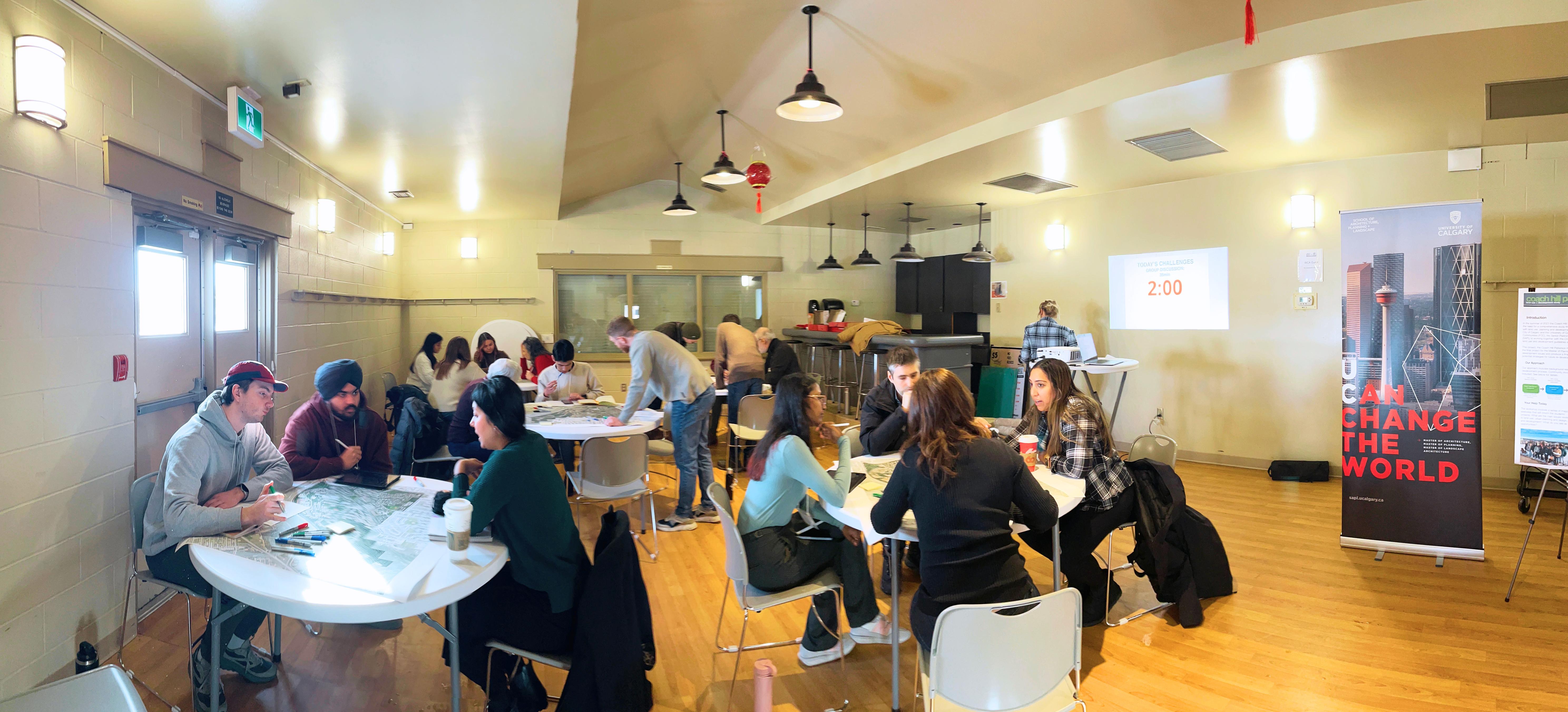
| WORKSHOP
Community Workshop Summary
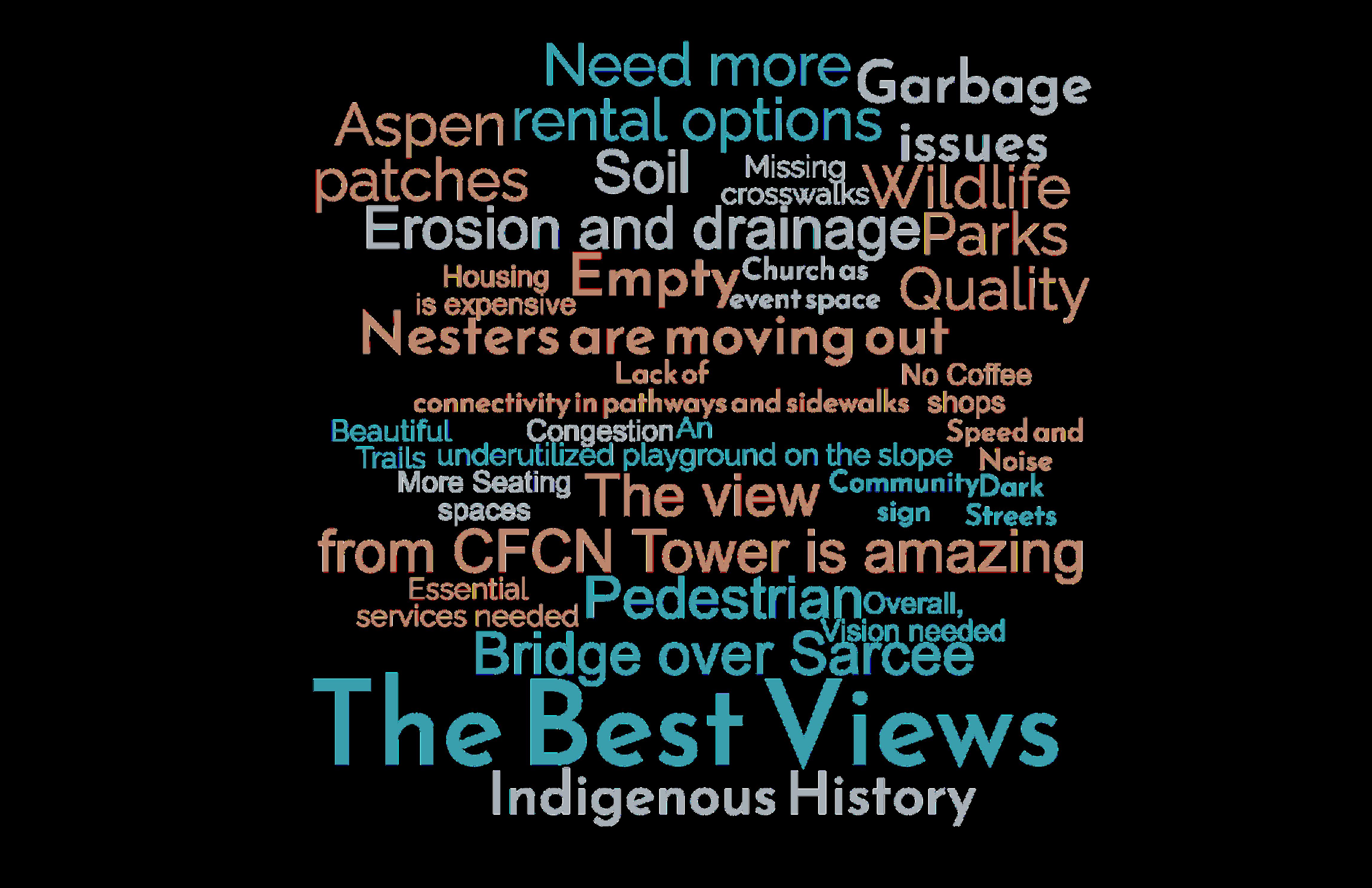
From the workshop, residents expressed concerns including traffic safety, and a lack of amenity options for all ages. Residents also highlighted the things they liked about their neighbourhood including the stunning view of the downtown, the natural setting and trails present in the community, and the unique historical features present in the neighbourhood. Potential future opportunities included mitigating mobility safety concerns highlighting heritage, creating distinct character, programming parks and increasing commercial variety.
“The community needs a vision to create a distinct character”
“It’d be nice to know more about the CHPH history and heritage ”
“We don’t have a lot of good quality family restaurants.”
“The parks don’t feel like des inations ”
“I want my daughter to be able to bike to school one day ”
History and Heritage
Old Banff Coach Road’s history and significance offers a way to increase community identity and re-connect the two existing communities spatially and socially.
Safety and connectivity are reoccurring themes in the community’s mobility network. Prioritizing routes will assist in creating networks that are safe and support multiple mobility types.
Old Banff Coach Road SW
Old Banff
The community has many natural and green space assets but their connectivity is poor. Establishing purposeful routes to key green space destinations will enhance use of these spaces.
The ratio of residential to commercial land use is inadequate and commercial amenities are not diversified. Introducing land use redesignations will assist in supporting future mixed-use development.
Old Banff Coach Road SW
Bow Trail SW
Old Banff Coach Road SW
Bow Trail SW
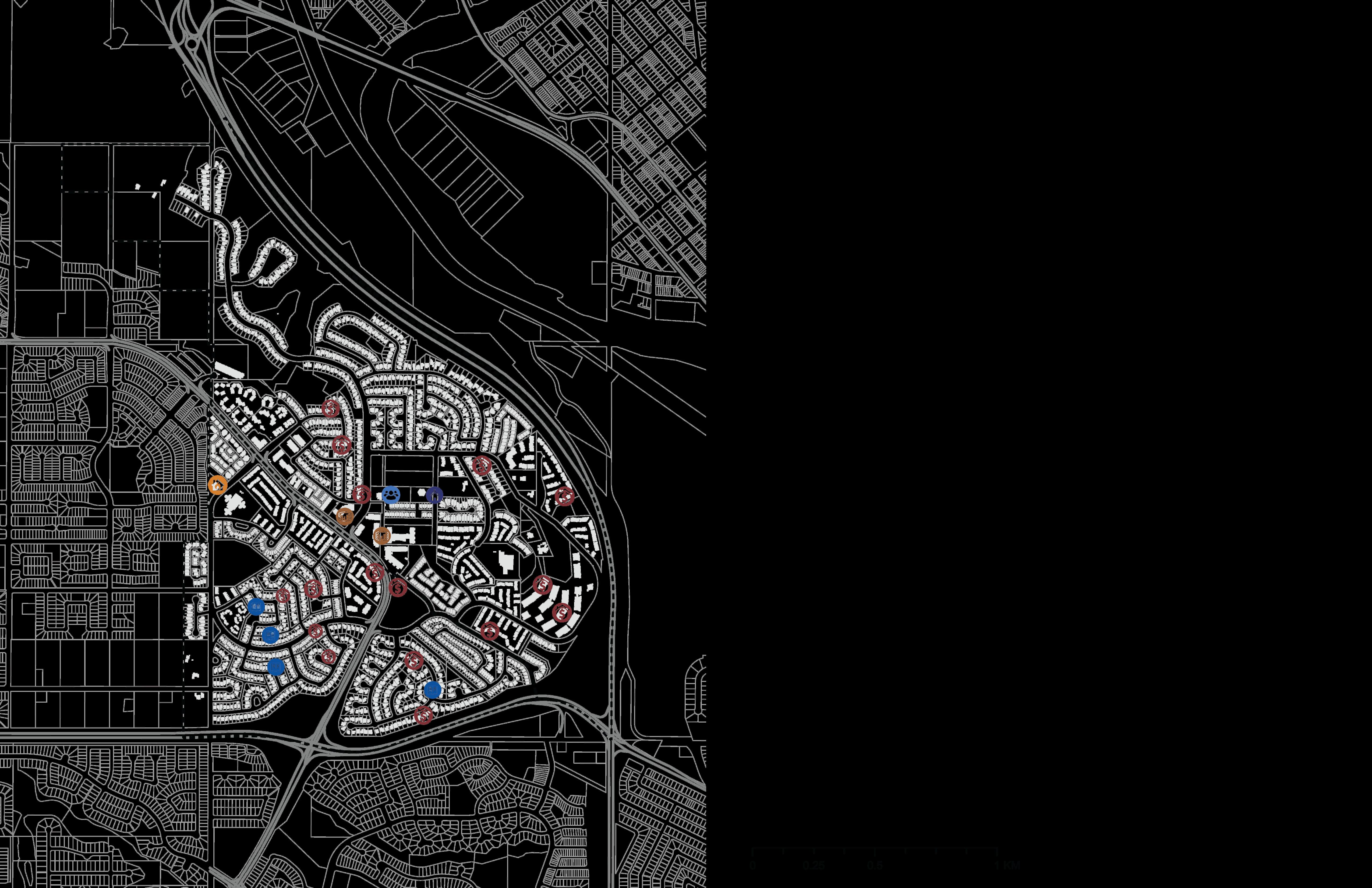
4.2 | KEY CHALLENGES
AND PROLONGED EFFECTS
Key Challenges

Lack of Cohesive Identity Inequitable & Unsafe Mobility
Fragmented Open Spaces
Lack of Commercial & Housing (Seniors/Students)
Prolonged Effects
Less Sense of Belonging
Weak Social Ties
Traffic Accidents
Reduced Physical Activity
Increased Crime Rates
Loss of Biodiversity
Accessibility issues
Limited Recreational Opportunities

Economic Strain
Intergenerational Divide
Increased Car Usage
Decline in Property Value
5.1 | INTERVENTION THEMES
History & Identity
Equitable & Safe Mobility
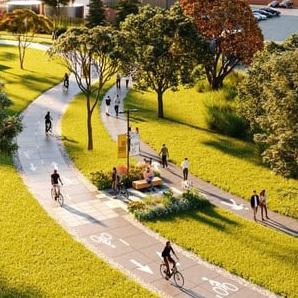
Open Space Network
Our intervention will leverage the existing condition of high quality open spaces and further program, connect, and activate these spaces into a continuous network with unique activities.
Adaptive Built Form
Our intervention will meet the needs of residents by creating a mobility network that provides a safe and comfortable travel experience for all modes of transportation.
Our intervention will diversify and adapt land use to include more commercial , mixed-use, and residential building typologies. This will create a thriving and vibrant neighbourhood that will be flexible to the needs of diverse demographics.
5.2 | VISION
The future vision for the community is anchored in its existing core values of strong community ties, recreational opportunities, and a deep appreciation for the outdoors. This vision also capitalizes on existing assets, including the unique and varied history, the stunning natural setting, and the distinct residential building typologies. Together, these elements form the foundation of a future brimming with promise and potential a future where there is a thriving sense of community, a flourishing natural environment, and the legacy of the past integrated with the aspirations of the present. In embracing this vision, the community embarks on a journey of transformation to the 21st century, charting a course toward a future that is inclusive, sustainable, and vibrant.
5.3 | KEY PIECES AND SPATIAL INTERVENTION
Our aim is to weave these elements together into a unified vision that seamle integrates identity, parks, mobility, and land-use resulting in a cohesive com fabric. By overlapping feat journey, connected and pr create an interconnected a complete, connected and v

History Nodes
Heritage Journey
Enhanced Mobility
+ Junctions
Programmed Parks
Land Use Changes:
Commercial
Mixed-Use
Townhomes/Condos
Laneway Housing

Heritage Walk and Character Areas
For heritage and identity, feedback from our engagement session included a lack of cohesive identity between the two communities, but a sense of pride in the unique historical assets present in the neighborhood. To address this, we propose the establishment of a heritage walking route that will connect the historical and natural assets in a way that contributes to meaningful spaces that celebrate the layers of history in the community across time and generations.

Coach Hill Road
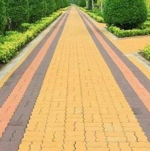
Proposed coloured pavers along original 1907 segment of Banff Coach Road
Character e ements (lamp post)
5.4 | HERITAGE AND IDENTITY
The Journey!
This mental map shows the journey of how generations have used the land and space over time. Each individual part contributing to, and building a larger community narrative. By telling the story of Indigenous peoples and the historic stage coach road that took travelers to Banff, to more recent stories of the Olympics, global wrestling celebrities and contemporary social and recreation activities that unite the community, the heritage walk promises to be full of unique sights and meaningful places.
Community Character Areas
The land includes Paskapoo Slopes, and ancient Indigenous Bison Kill sites.
The Road is the original 1907 Old Banff Coach Road used as a route to Banff National Park.
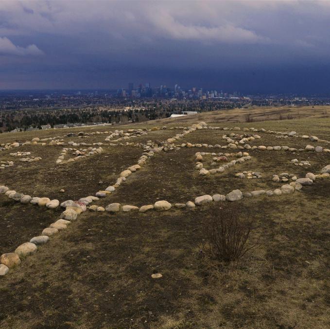
Broadcast Hill has the 1960s CFCN Tower, with amazing views of Calgary’s downtown!
Identity Wayfinding

The Plaza is our new addition. It hosts diverse parks programming and both local and chain shops!

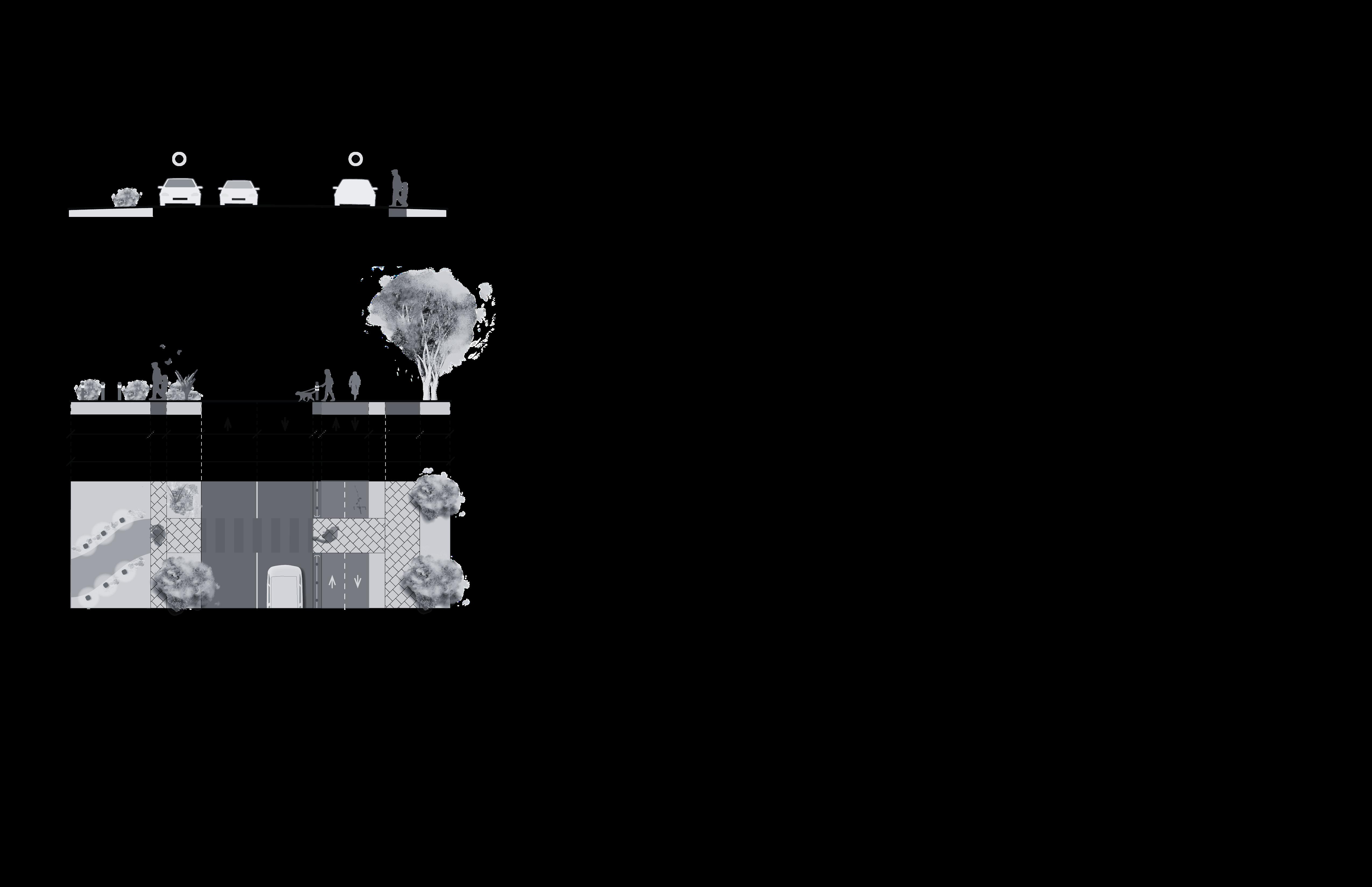
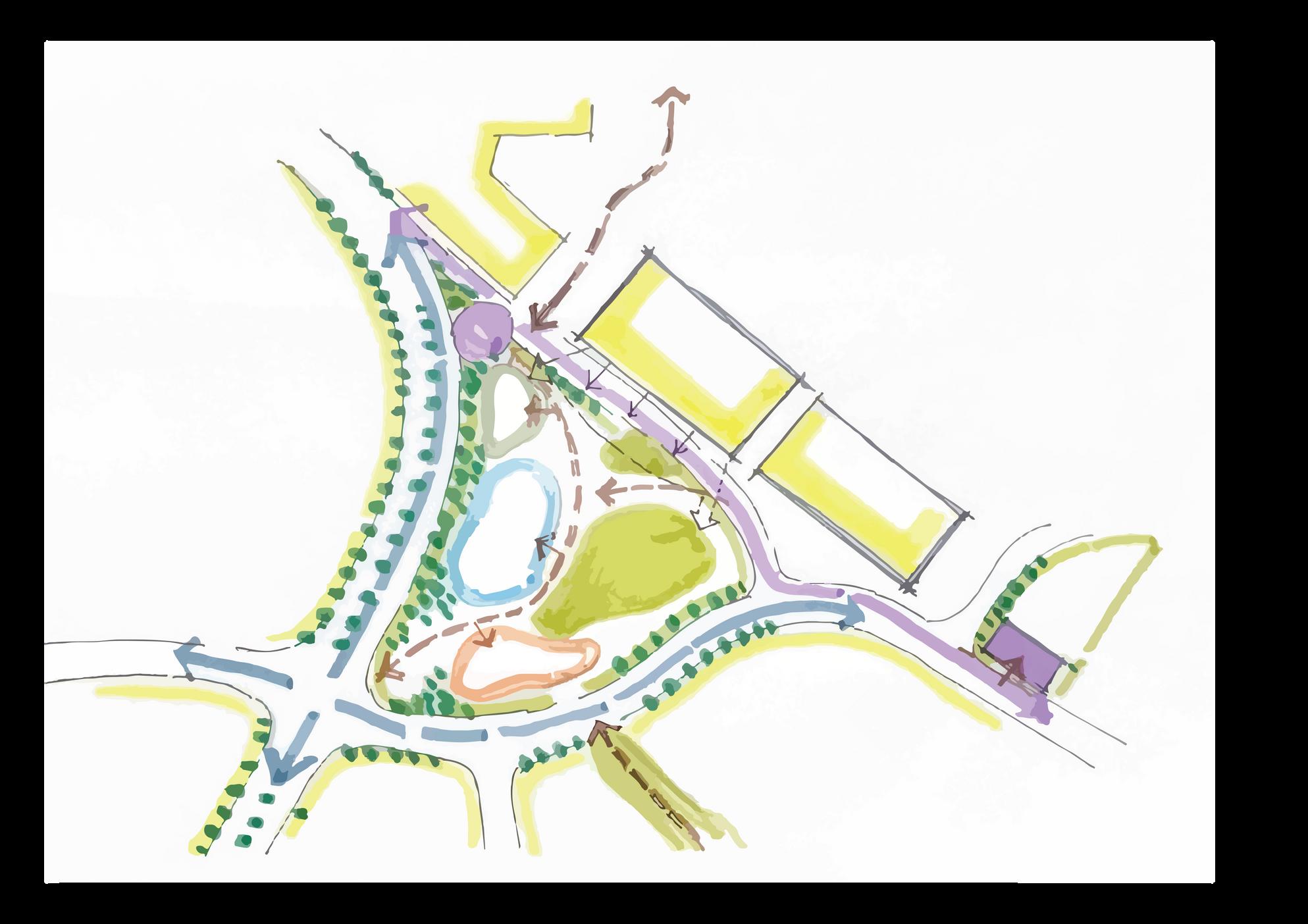
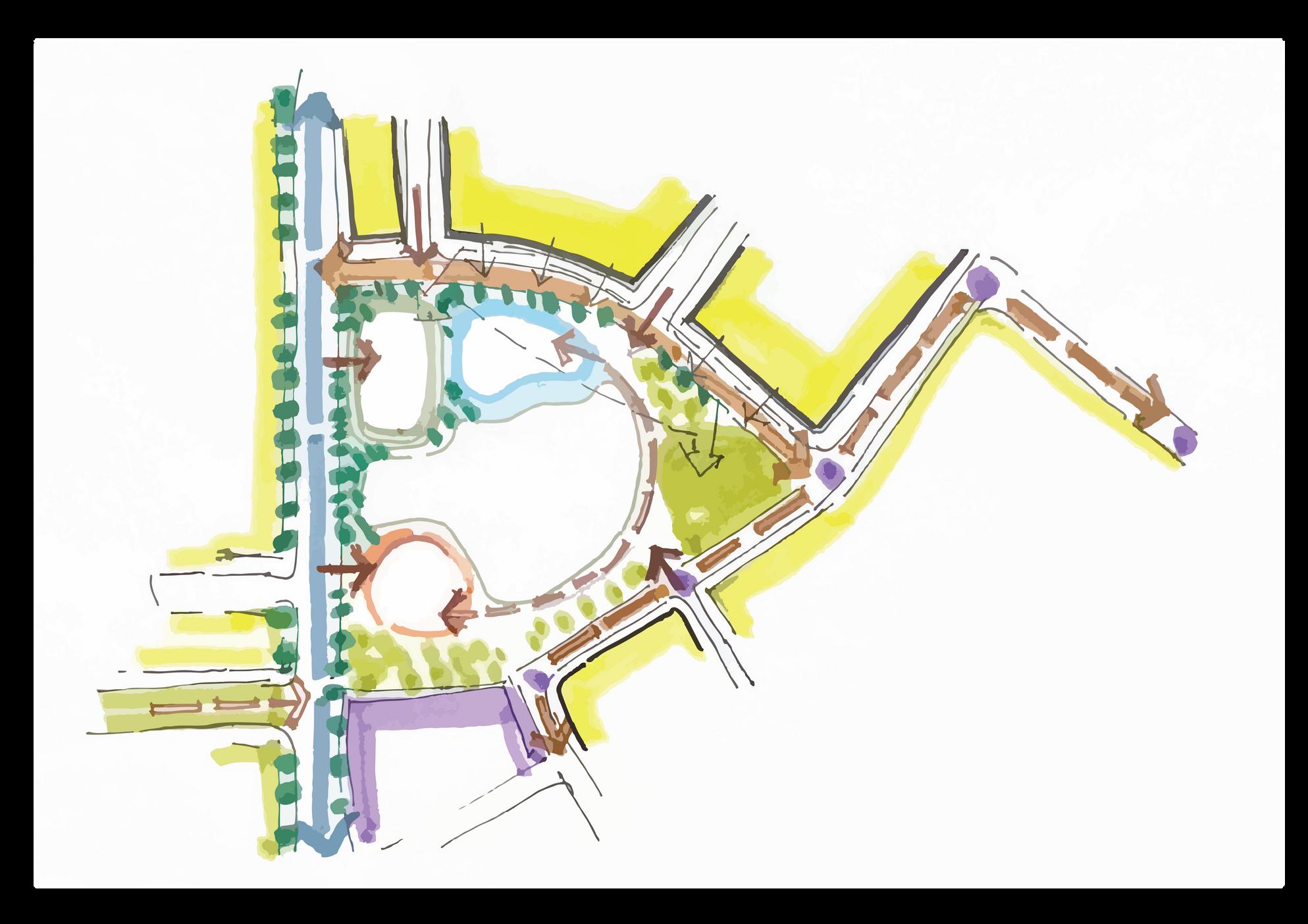
5.5 | EQUITABLE AND SAFE MOBILITY
Proposed Cycling Network
Our proposed cycling network increases the amount of designated cycle lanes in the neighbourhood, with two bi-directional lanes along Old Banff Coach Road,

Additionally, enhanced safety features will prioritize cyclists along Old Banff Coach Road. Cycling signal lights will give cyclists a “head-start” by giving them Cycling Safety Features
5.5| EQUITABLE AND SAFE MOBILITY
Proposed Pedestrian Network
Our proposed pedestria Road, Coach Hill Road a connections between 1m vegetation, either throug pedestrian street lighting
Pedestrian Safety Features
Enhanced safety features will support pedestrian safety on these roads. Coloured and/or raised crosswalks with signal push buttons will support safe connections and engage users of all ages.

O d Banff Coach Road SW
Bow Trai SW
Patina Drive
Coach Hi l Road
Proposed Patina Drive I With One Bi-Directional Cycle Lane I
Proposed Bioswales
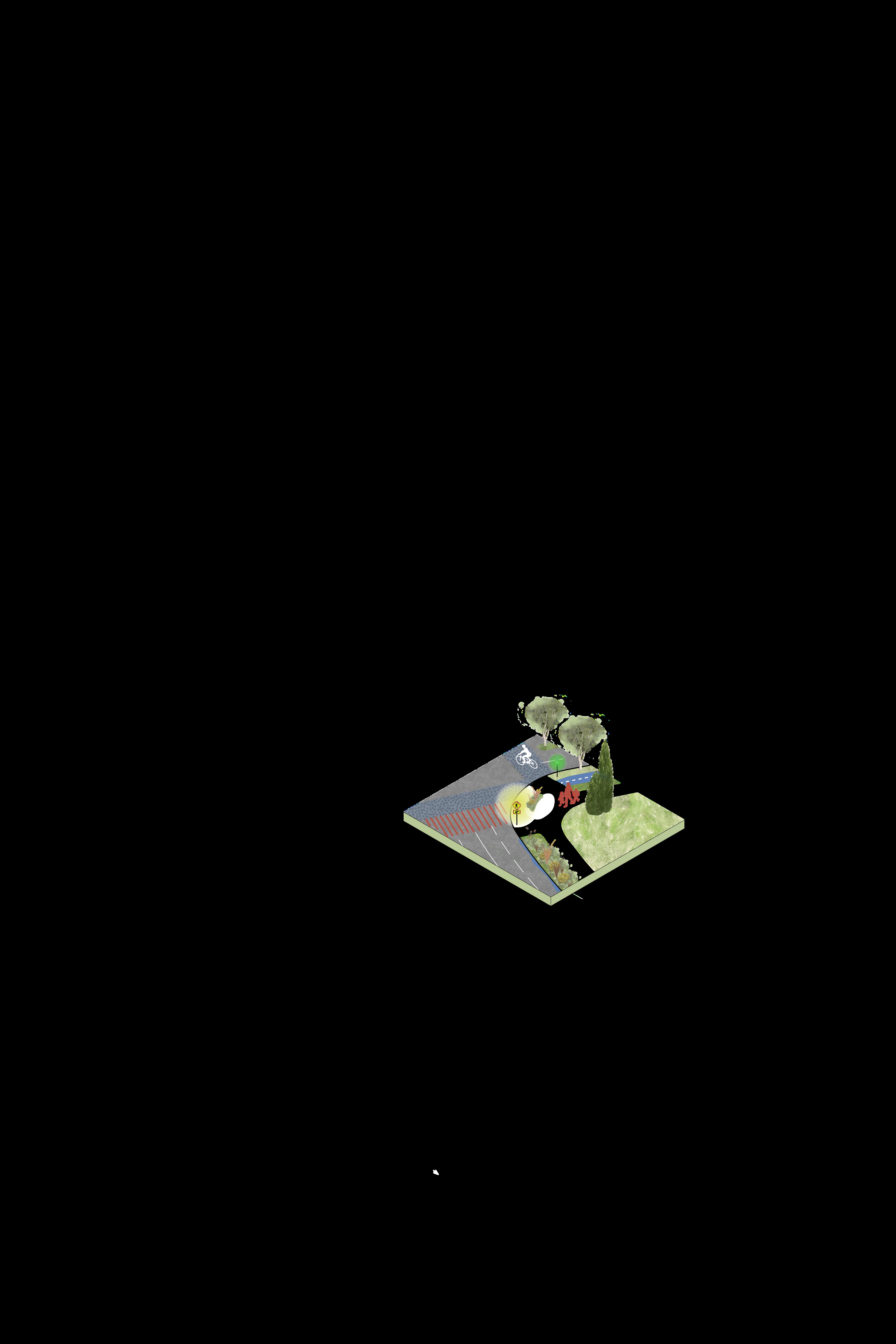
Street Safety Features
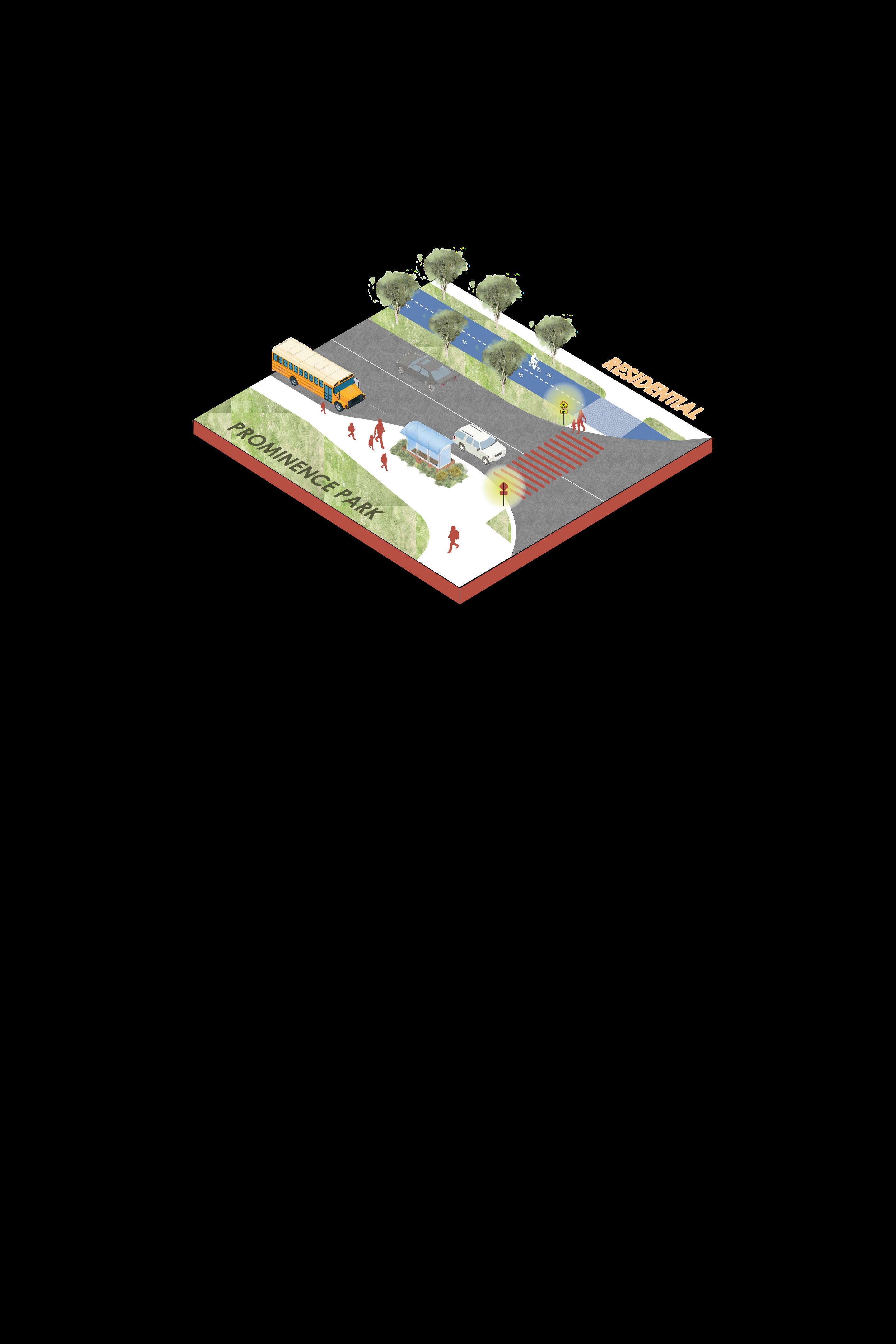
These bioswales are integral to the safety of all mobility modes. As commented in community feedback, there are annual instances of school buses getting stuck on Coach Hill Road which then backs traffic up. Moreover, along Patina Drive ice and snow buildup make it challenging for residents with strollers to access Prominence Park or safely cross Patina Drive.
Existing Coach Hill Road I Facing East I

Proposed Coach Hill Road I With Bioswales I
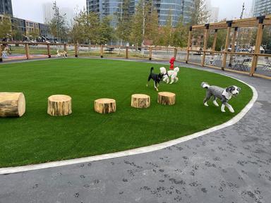
Dog Park
Pedestrian Crosswalks with Signal Push-Buttons
O d Banff Coach Road SW Bow Trai SW
Drive
5.6 | OPEN SPACE NET
Physical Connection
Prioritized mobility routes will be integrated to arrive at key green space destinations. This includes existing trail network connections.

Green-scaping existing concrete sound barriers will not only increase street quality but will increase ecological networks and corridors.
Bow Trai SW
Bow Trail SW
BowRiver
Intervention Themes
5.6 | OPEN SPACE NETWORK
Planting Strategy
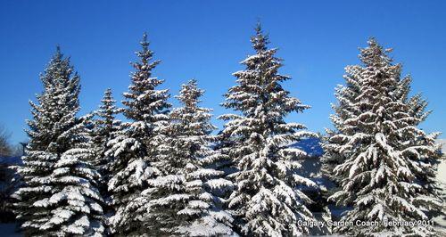
Understanding planting and tree types can assist in increasing outdoor comfort for park users throughout Calgary’s many seasonal changes. Planting coniferous trees in Western areas will provide protection from winds year-round. Additionally, planting deciduous trees in South-Eastern areas will accommodate for shading in the summers and sunlight in the colder winter months.
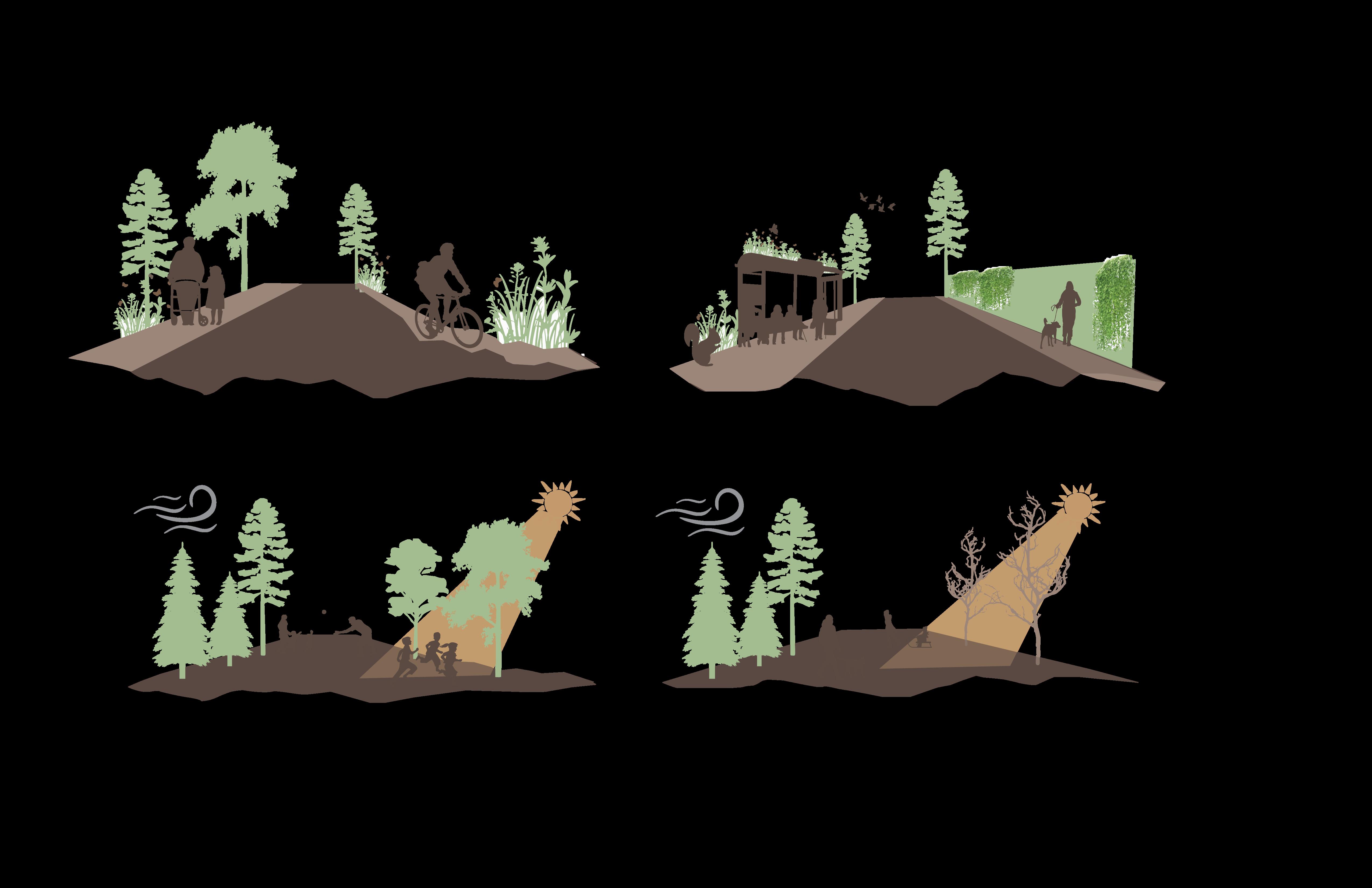
Planting for Winter
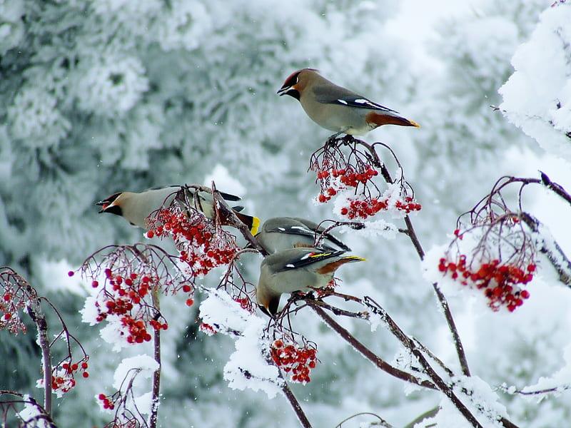
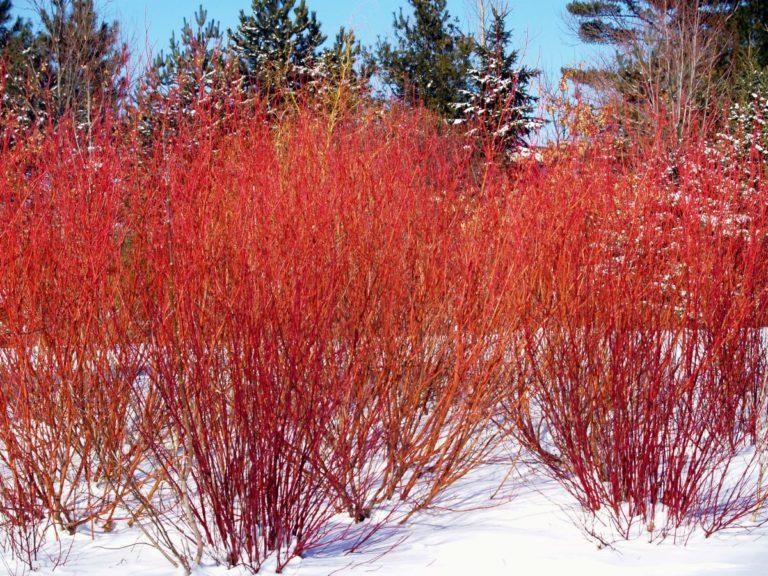
To ensure a welcoming environment year-round, plant species that offer attractive or useful winter characteristics such as colour, fruit or tolerance to salt should be selected. Also, native or non-invasive species that will create interesting landscapes year-round, including tall grasses and hardy greens should be chosen. Trees that have colourful bark or retain their fruit in winter will attract winter birds and add additional colour.
Planting Strategy - Summers
Planting Strategy - Win ers
Birds are the unsung heroes of winter gardens, adding beauty and life
Co ourful bark and eaves provide contrast o white and gray
5.6 | OPEN SPACE NETWORK
CFCN Tower Open Space Concept
Existing Open Space
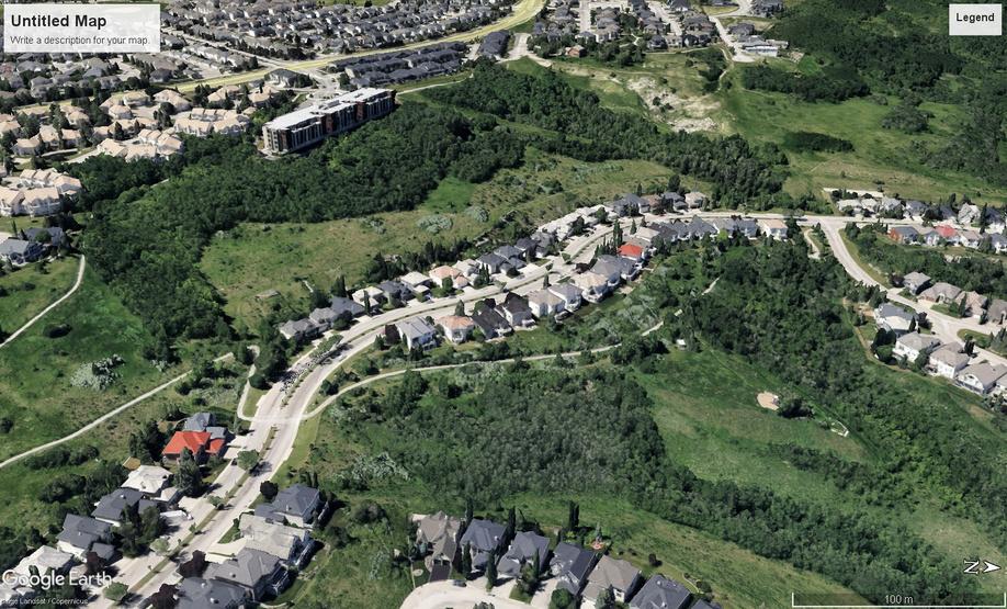
Underutilized Open Space Concept - Paskapoo Slopes
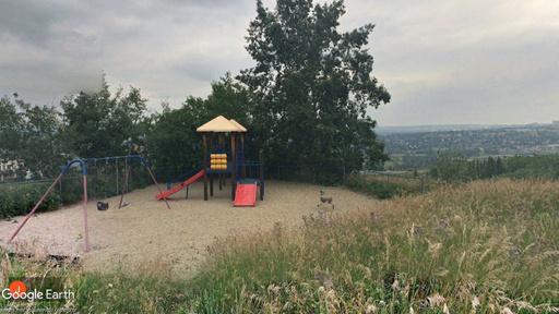
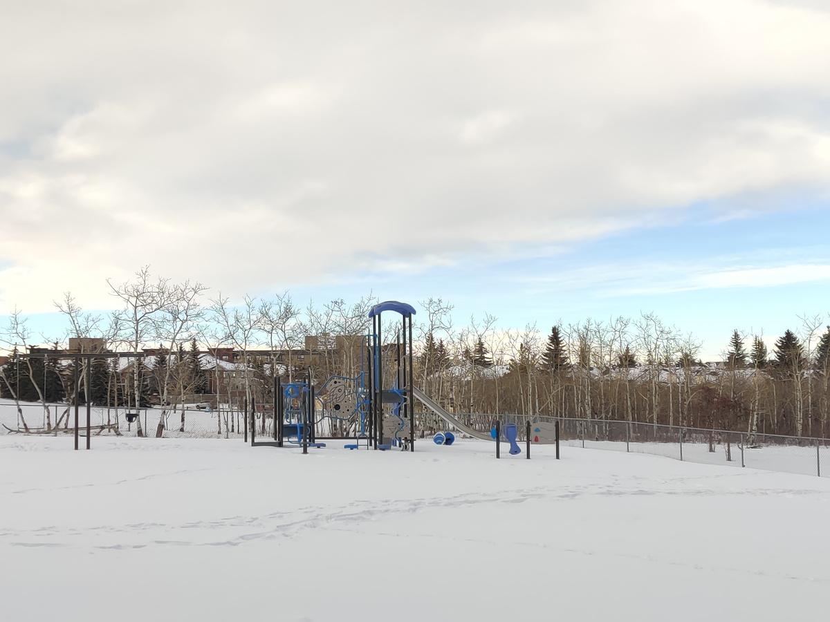
Existing Playground
Ou door Learning space for kids and scout groups
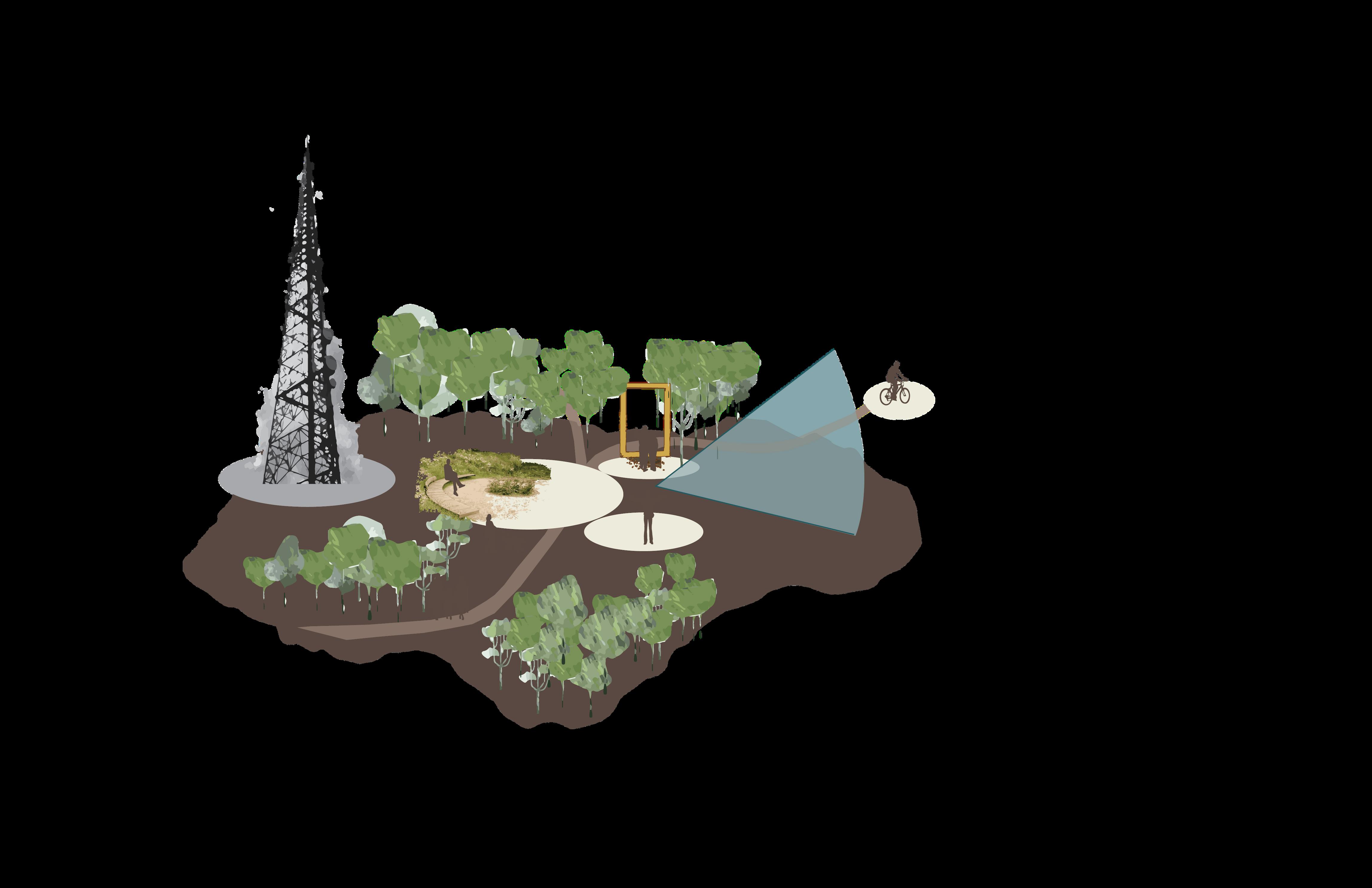
Precedent
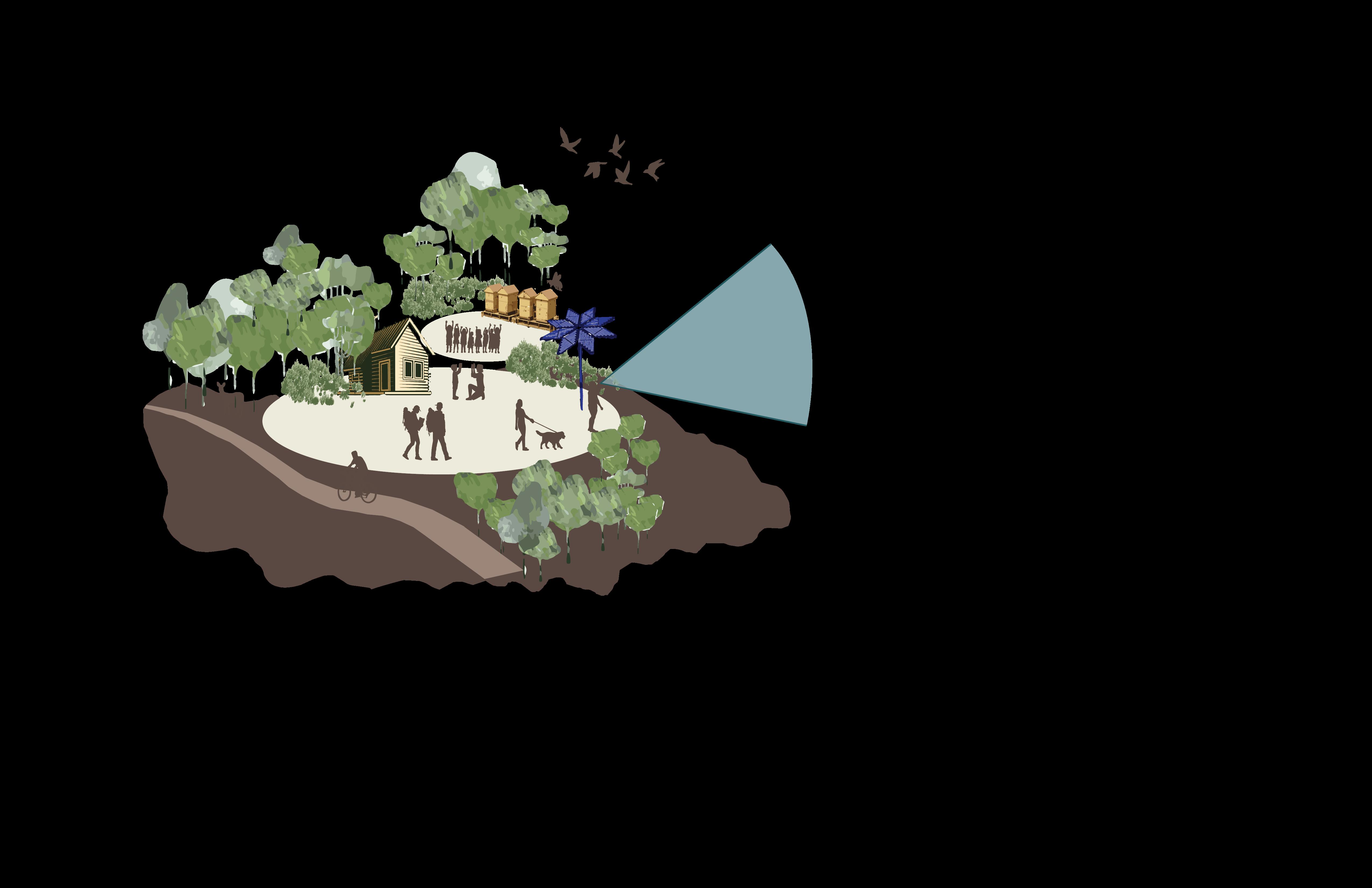
Ecological Preservation and sustainable initiatives
Multimodal Trail Network
Viewing Frame Slope inbuilt seating area
Precedent
Multimodal Trail Connection to Patina Drive
Multimodal Trail Network
5.7 | ADAPTIVE BUILT FORM
Rationale Process for Built Form Density
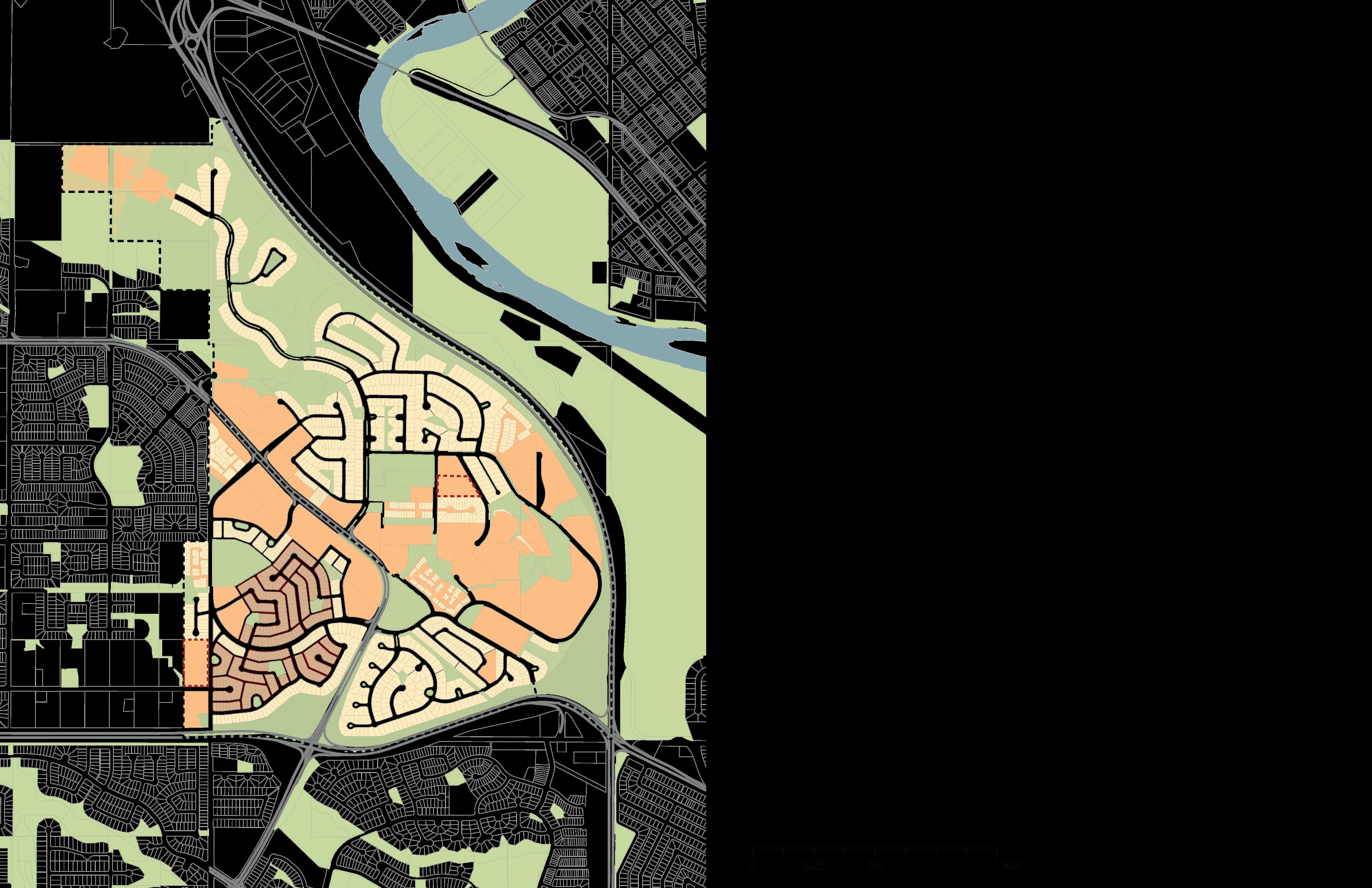
To identify the location for increase in density we....
Density Near Nodes Heritage Way Key Nodes
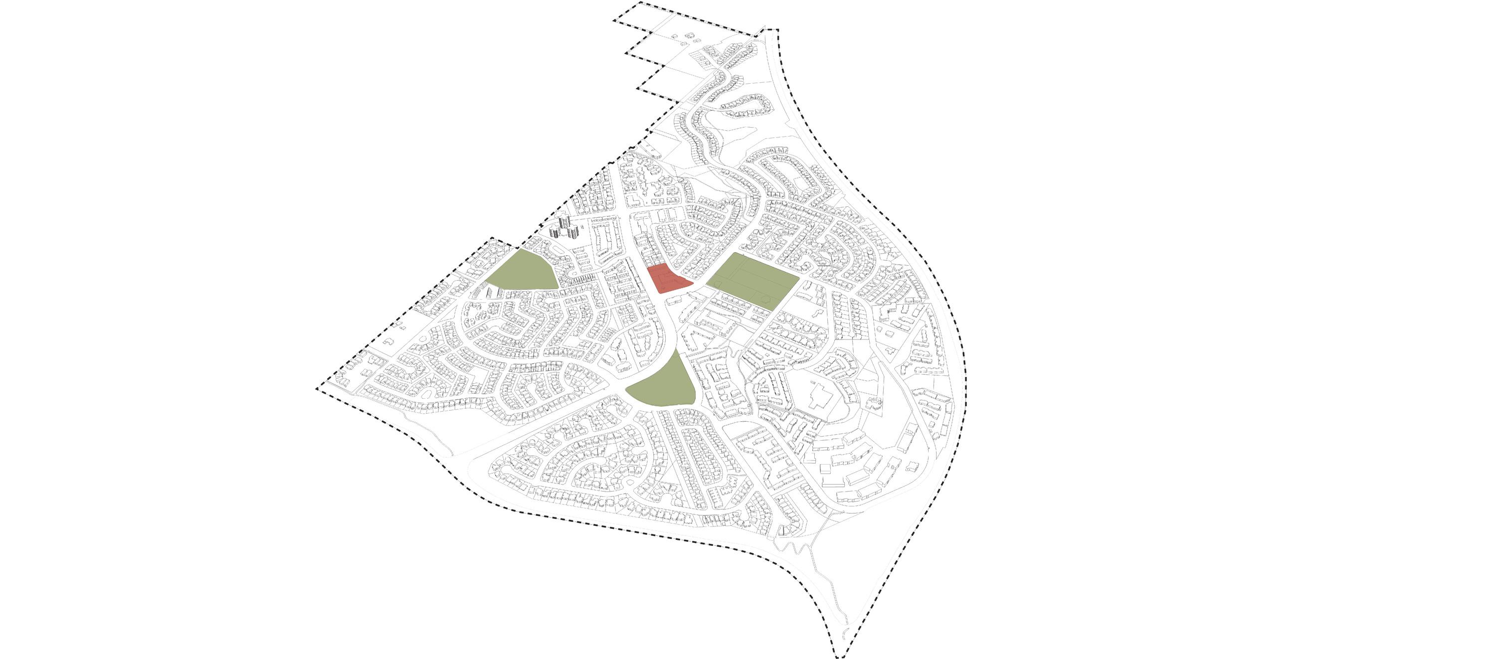
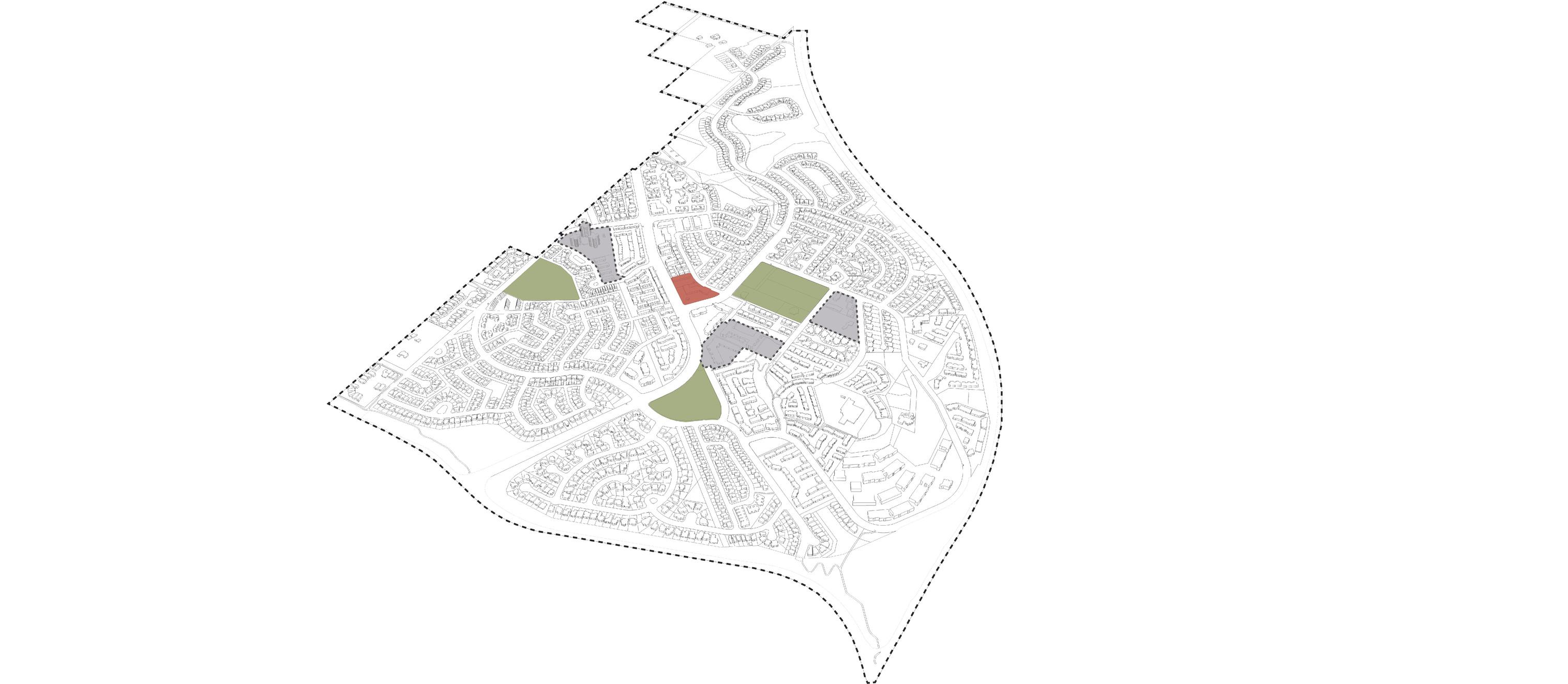
First: Identified four major key nodes within the community including three major parks spaces and current commercial space
Second: Identified developments with higher density around those key nodes identified Proposed Density
Third: Overlapped the historic path that we intend to propose onto the previous layers
This helped us to identify the gaps in the current land use density, helping us to the proposed increase in density near the parks and the redevelopment of existing commercial land.
Existing Land use
Proposed Land use Zoning
3410 Exisiting Units
10 UPH Existing Density
14 UPH Proposed Density
3354 People +1262 New Units
70 Jobs
5.7 | ADAPTIVE BUILT FORM
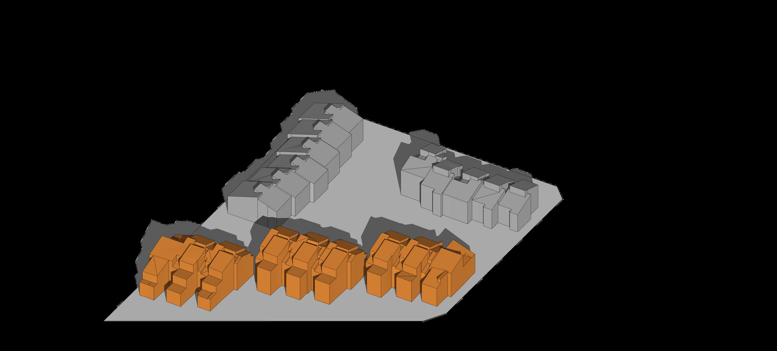
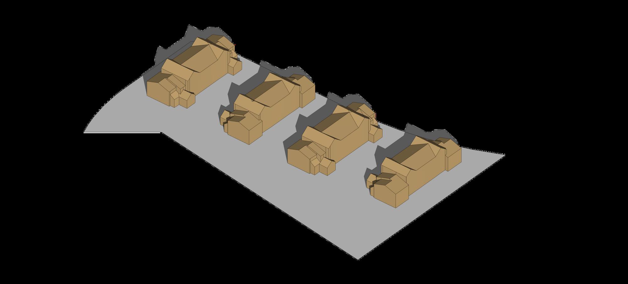
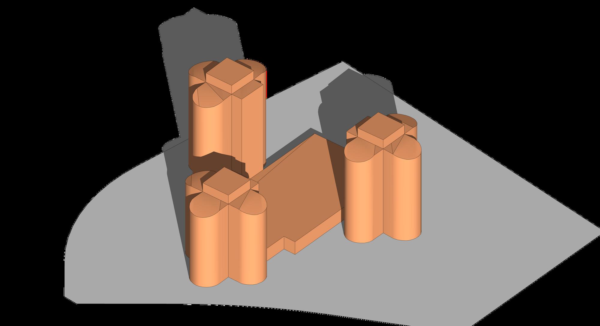
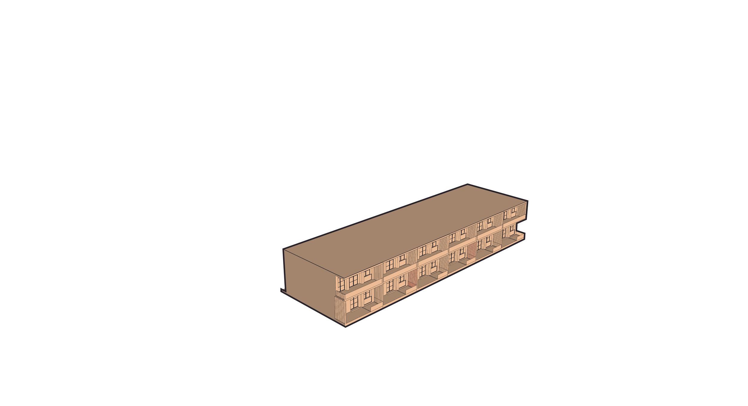
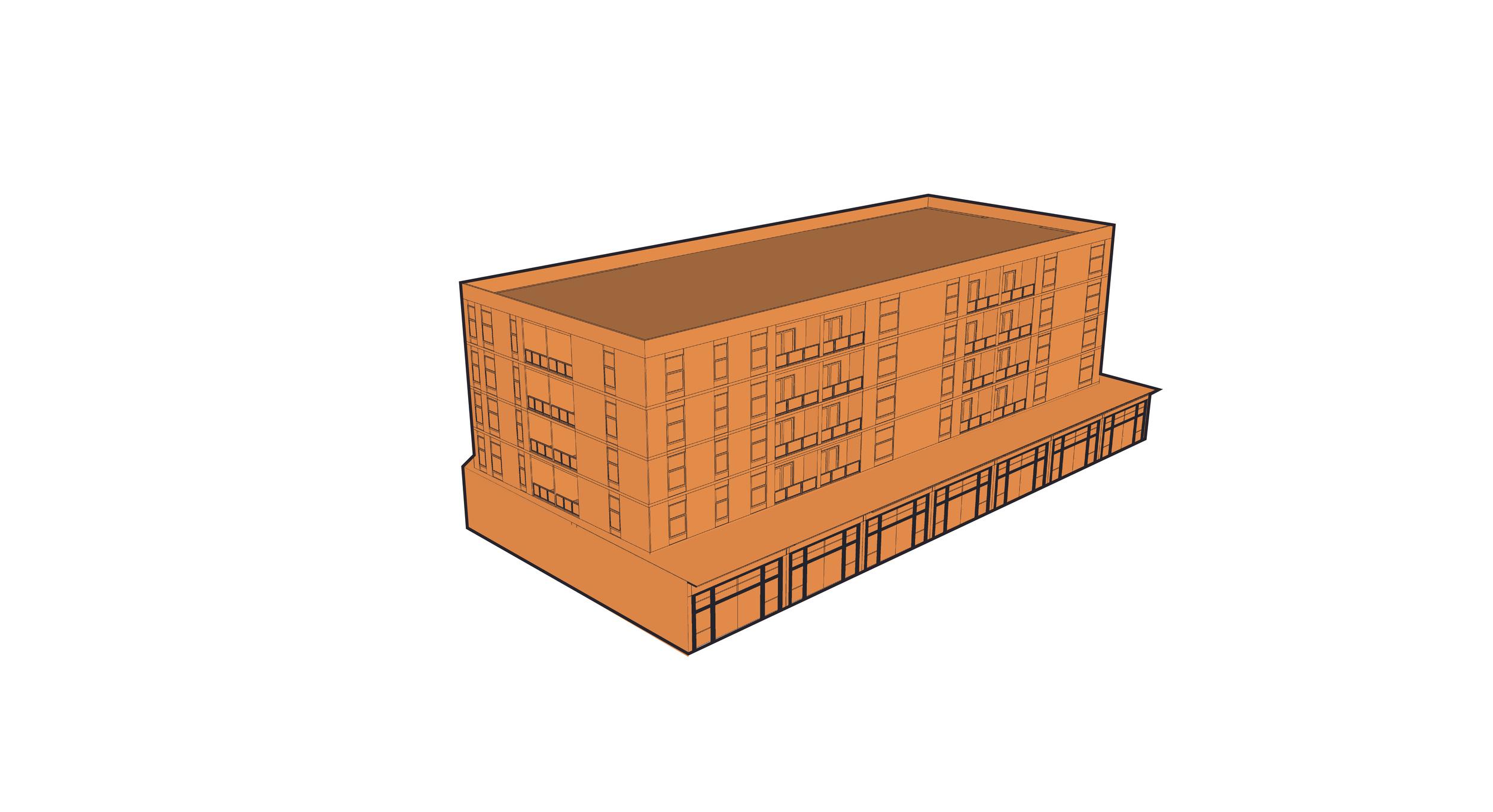
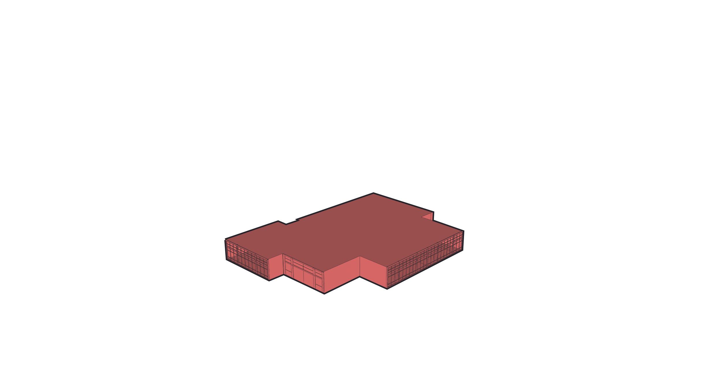
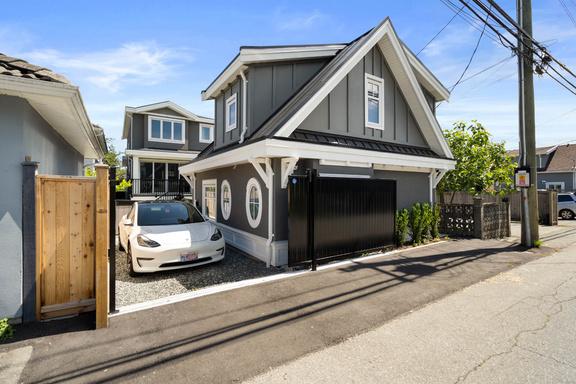
Proposed Building Types
Our analysis revealed that there are a variety of housing types in the community. However, there were limited housing opportunity for seniors and young professionals. Therefore, our proposal incorporated a variety of those missing housing options including laneway housing units, townhomes, and multi-residential. This would support the needs of the community and also the projected population growth of the city. Our analysis also revealed the lack of commercial variety in the community. Therefore, we proposed redevelopment of the existing commercial lot and proposed mixed use buildings with a variety of retail units at the ground floor, from urban grocery stores to fine-grained retail shops.

Precedent Details
Height: 6M
No Of Floors: G+1
Type: Laneway
Height: 6M
No Of Floors: G+1
Type: Town House
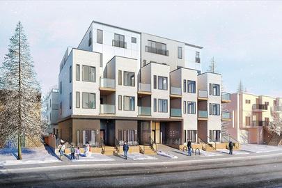
Height: 15M
No Of Floors: 2+3
Type: Town House+
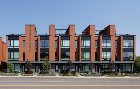
Condominiums
Height: 16M
No Of Floors: 1+4
Type: Retail +
Condominiums
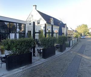
Height: 10M
No Of Floors: 1
Type: Family Restaurant, Pub-Museum, Energy Hub
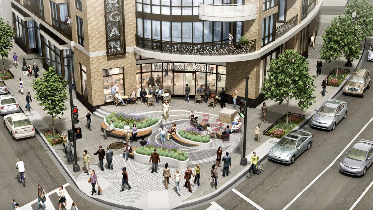
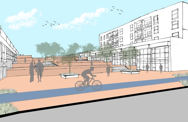
The Coach Hill Patterson Heights Plaza will be a central commercial node of the community. It will be strategically located across Old Banff Coach Rd, serving as a vibrant link between the Coach Hill and Patterson Heights communities. It will see the highest intensity of use (out of our four reimagined nodes).
Coach Hill Patterson Heights Plaza
The Vision
Concept Sketch
Coach Hill Patterson Heights Plaza
Strategies
Community Connections
Quality Amenities & Services
Vibrant Gathering Places
Activated Public Realm
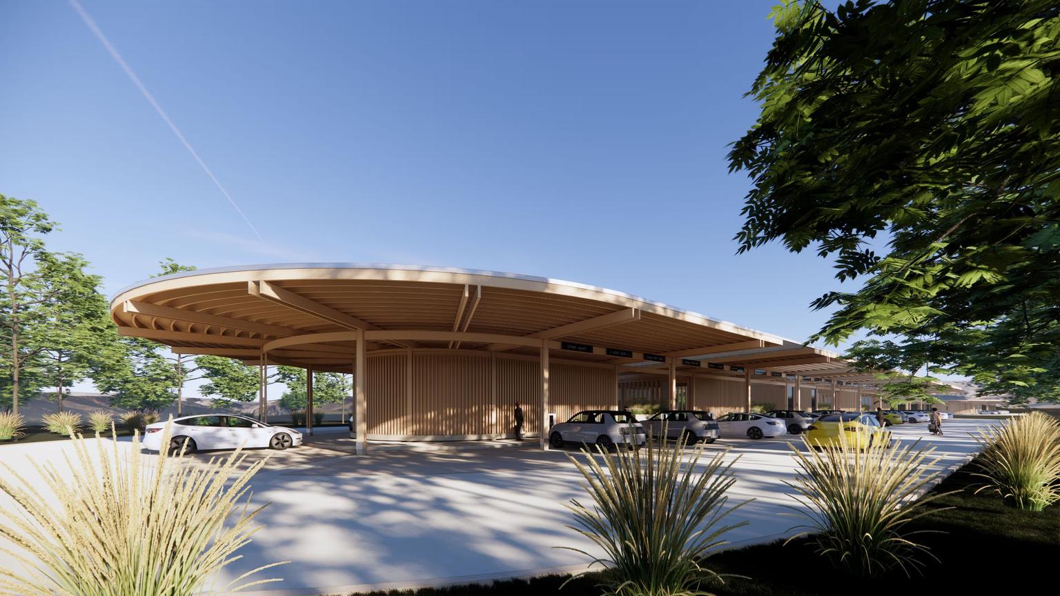
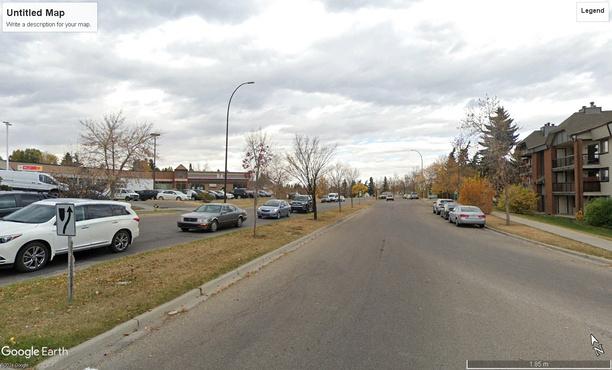
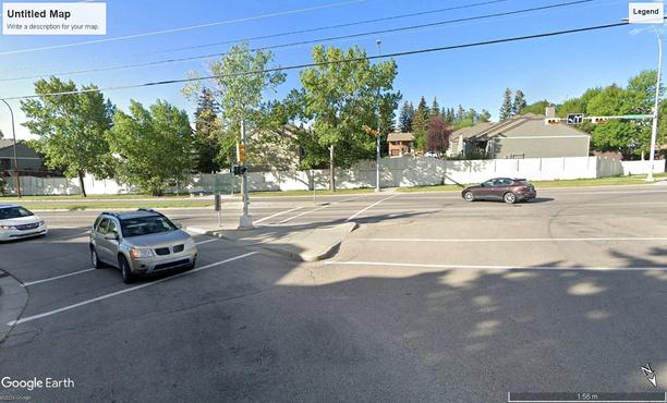
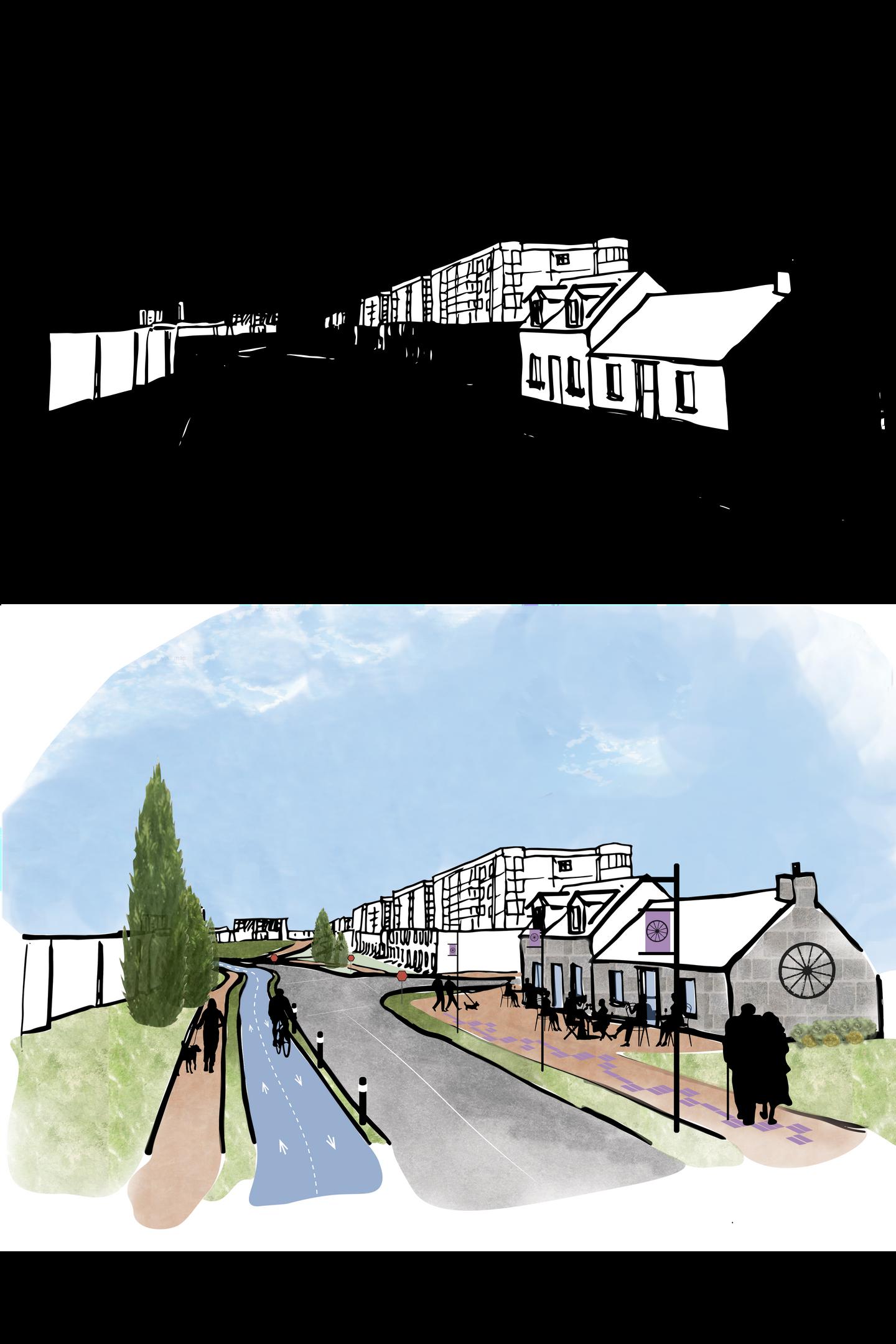
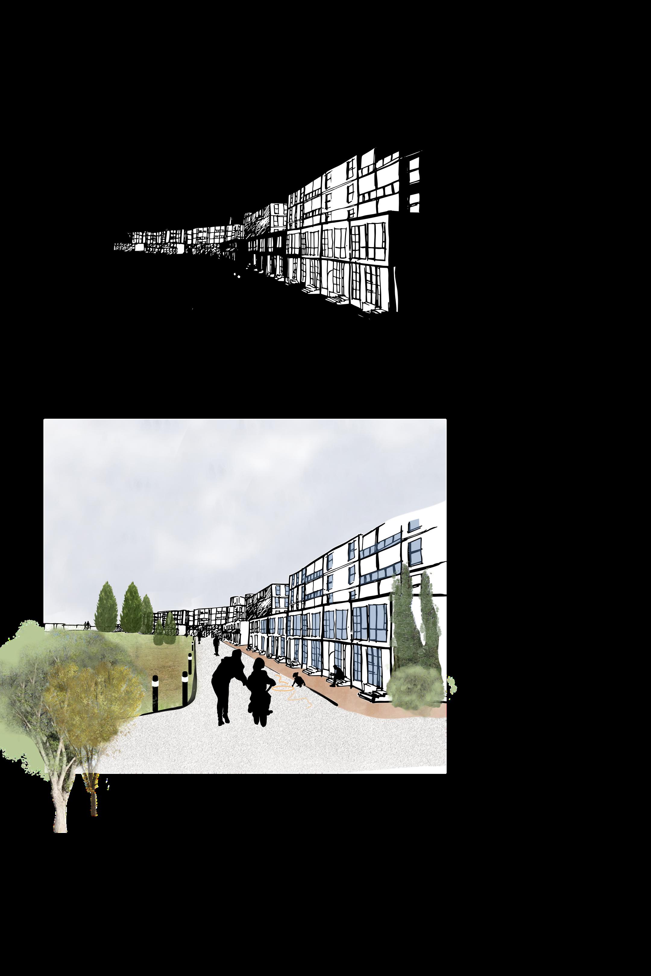
Node 1 will aim to support more diverse housing types and a variety of commercial services and amenities through mixed-use zoning and retail space that can accommodate local-scale shops. The node introduces significant enhancements, including a new Community Connection Plaza on the south side of Old Banff Coach Rd, connecting to Coach Side Rd. This area is designed to be a central gathering place for the community. Adjacent to this, Patterson Blvd will evolve into a bustling mixed-use commercial street, enhancing local amenities and ensuring active street life. Additionally, the relocation of the existing gas station further west to an energy hub facilitates the creation of a dynamic, commercially activated public realm at the key intersection, complemented by wider sidewalks and streetscape improvements. This will foster a more connected and accessible environment.
Plan View of Coach Hill Patterson Heights Plaza
Bird’s Eye View - Coach Hill Patterson Heights Plaza
Precedents
Community Plaza
through the Plaza and the Energy Hub
Section through Patterson Boulevard and Mixed Use
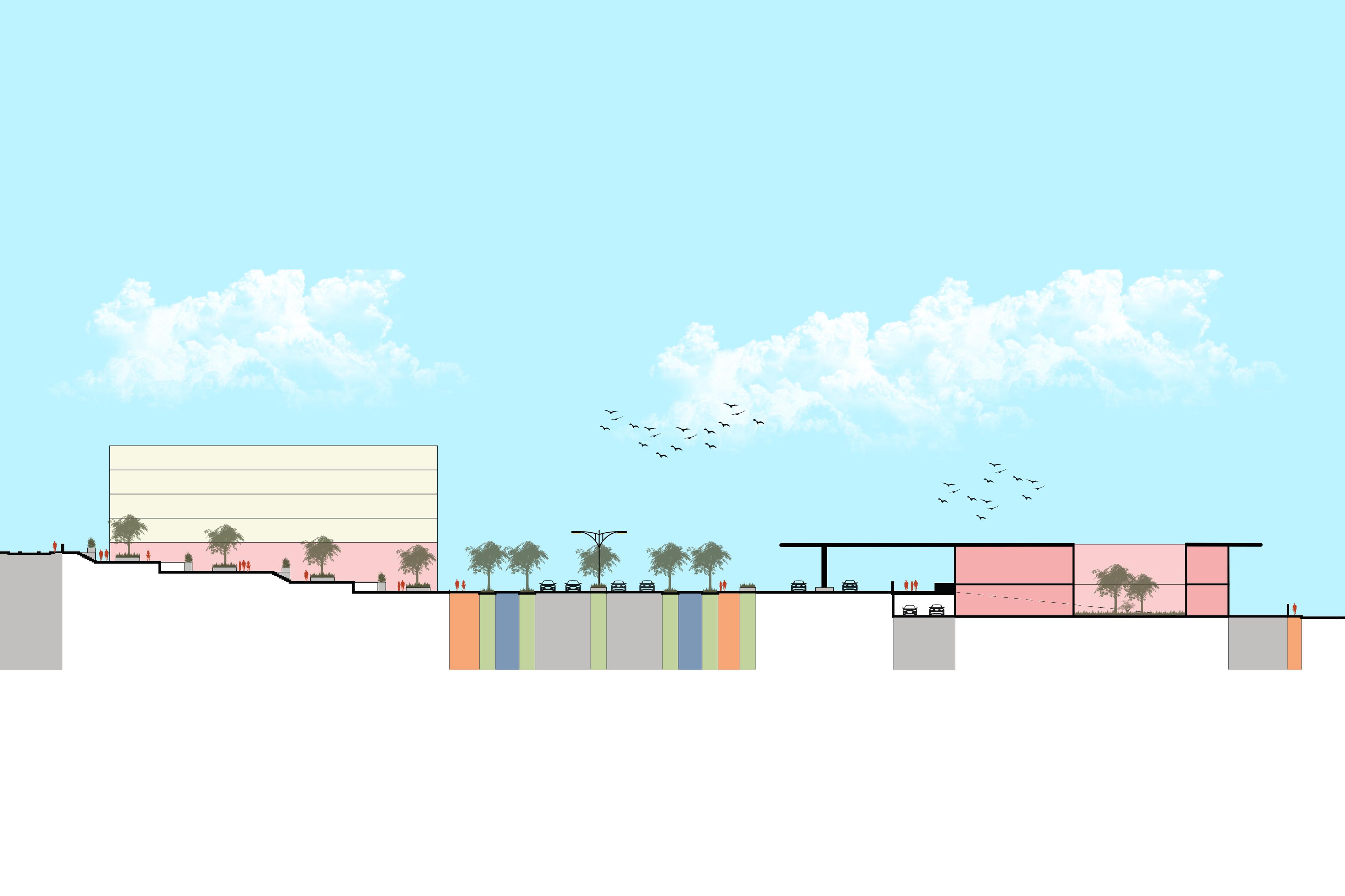
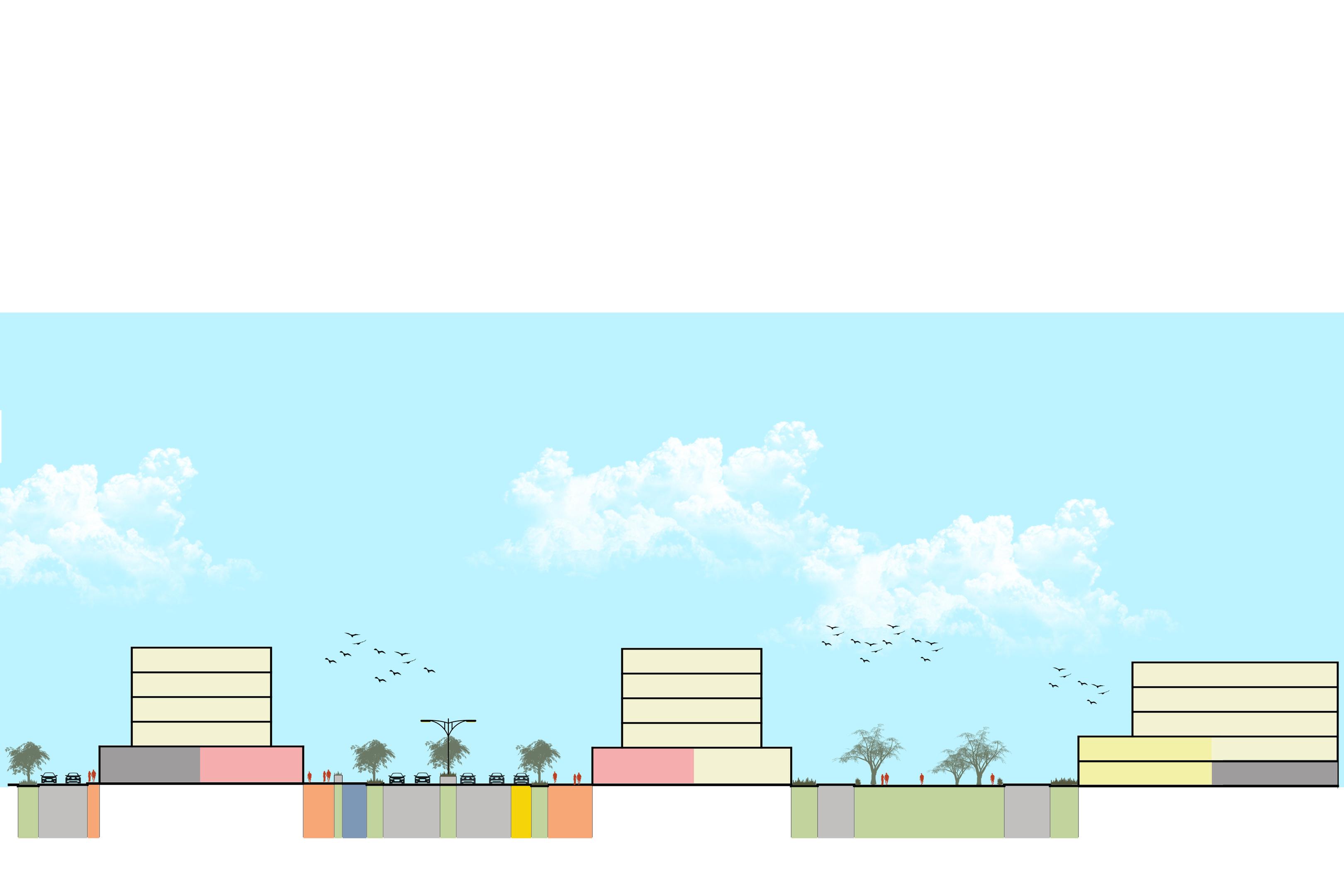
Existing Proposed (Patterson Blvd SW) (Patterson Blvd SW Reimagined)
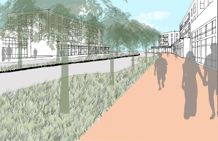
Proposed (View From Coachman House) (View towards proposed Community Plaza)
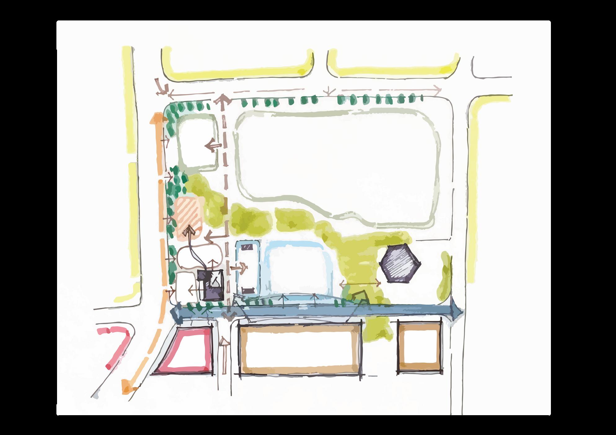
| NODE 2
Prominence Park
The
Node 2, located at Prominence Park, is envisioned as a dynamic social hub tailored for all ages. The park will support large events, family programming and both professional and semi-professional sporting events. We see this node as the
Concept Sketch
Proposed
All Ages Programs
Seating & Eating places
Local Stops & Shops Live Work Units
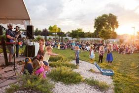
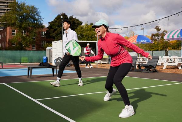
Prominence Park will be an accessory and enhanced public space supporting the intensification of use within Coach Hill Patterson Heights Plaza. This node introduces several new amenities in the park along Patterson Blvd, including a pickleball court, a playground, a community garden, and a family-friendly restaurant on previously undeveloped land. A new street connection on the park’s south side enhances accessibility to an event space, with live-work units along this street activating the park's perimeter. The node also features a mixed-use commercial area at the intersection of the new street and Patterson Blvd, providing opportunities for local businesses and home-based enterprises. Enhancements like designed crosswalks, cycle lanes, and curb extensions improve safety and mobility around the park’s edges, fostering a lively community space.
Plan View of Prominence Park
Bird’s
Eye View - Prominence Park Reimagined
Precedents

Fami y Restauran Event Space
Existing Proposed
(View towards Community Hall) (View towards Community Hall and proposed new street)
Existing Proposed (View towards Community Hall in Prominence Park) (View towards proposed Family Restaurant in Prominence Park)
Off Leash Dog Park and Heritage Pub
The Off Leash Dog Park will be a community gem. Our vision for this node is to enhance existing functions such as petamenities, a better playground and connections between old and new spaces. New programming such as fire-pits and the
The Vision
Concept Sketch
| NODE 3
5.10 | NODE 3
Off Leash Dog Park and Heritage Pub
Strategies
Community Gardens
Dedicated Pet Space
Heritage Pub Museum
Senior Living
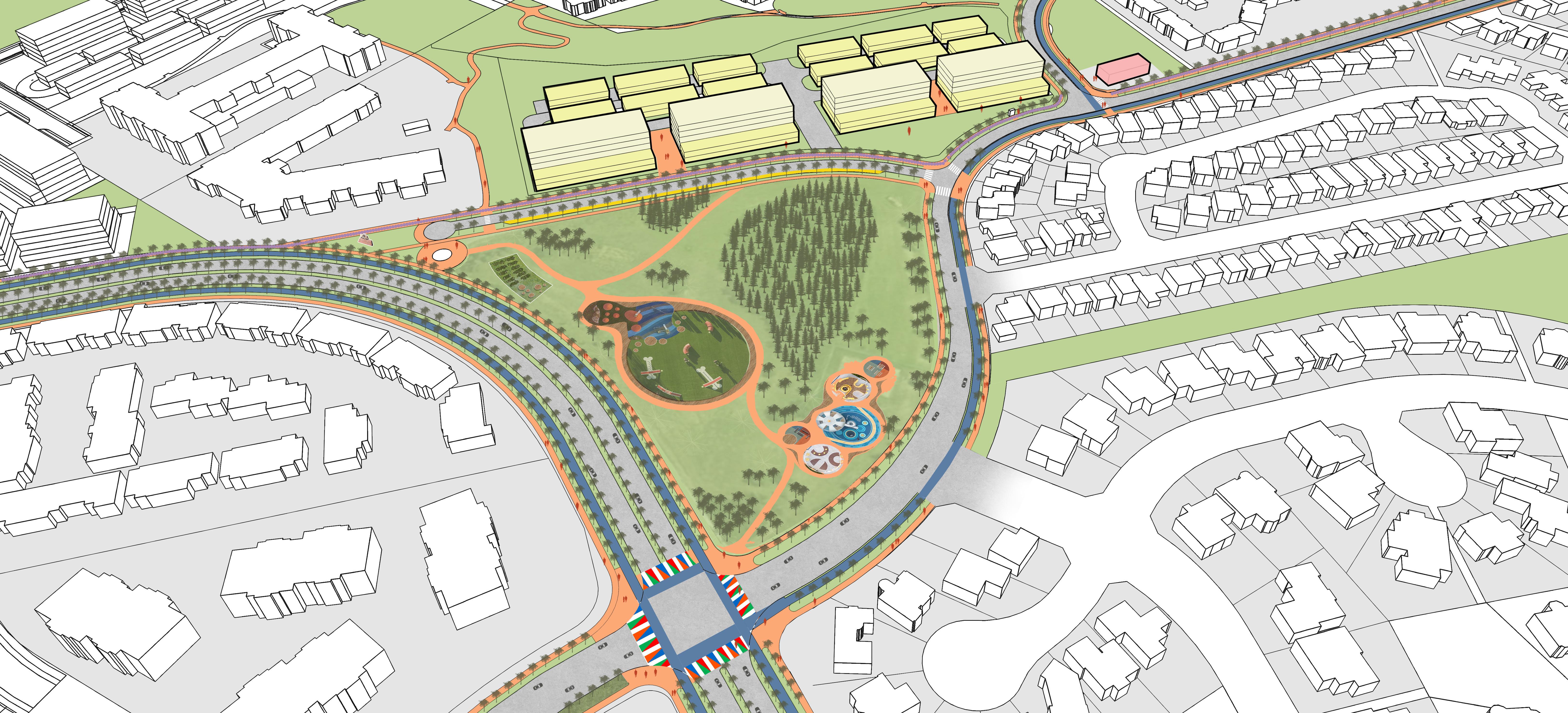
Node 3 is centered around the combination of a heritage pub and an off-leash dog park along the historic 1907 Banff Coach Rd This area features a heritage pub that doubles as a small museum, offering both a gathering place for locals and educational insights into the community's history. Adjacent to this, the dog park is set for a redesign aimed at enhancing its usability and appeal to the many dog owners in the area. The node also incorporates community gardens and plantings to enhance safety and aesthetics along OBCR. Housing focused on seniors due to its proximity to existing senior housing is also planned. Additionally, a relocated sign at the intersection introduces a small plaza, commemorating the heritage route while serving as a vital, present-day community landmark.
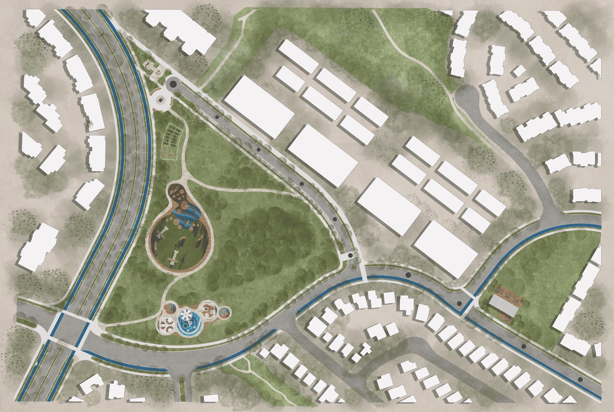
Plan View of Off Leash Dog Park and Heritage Pub
Bird’s Eye View - Off-Leash Dog Park and Heritage Pub Reimagined
Precedents

Community Garden
Dog Park
Community Fire Pits
Existing Proposed (View towards Heritage walk) (View towards proposed Heritage Pub)
Existing Proposed (View from Off Leash Dog Park corner) (View from Dog Park corner with proposed community gardens)
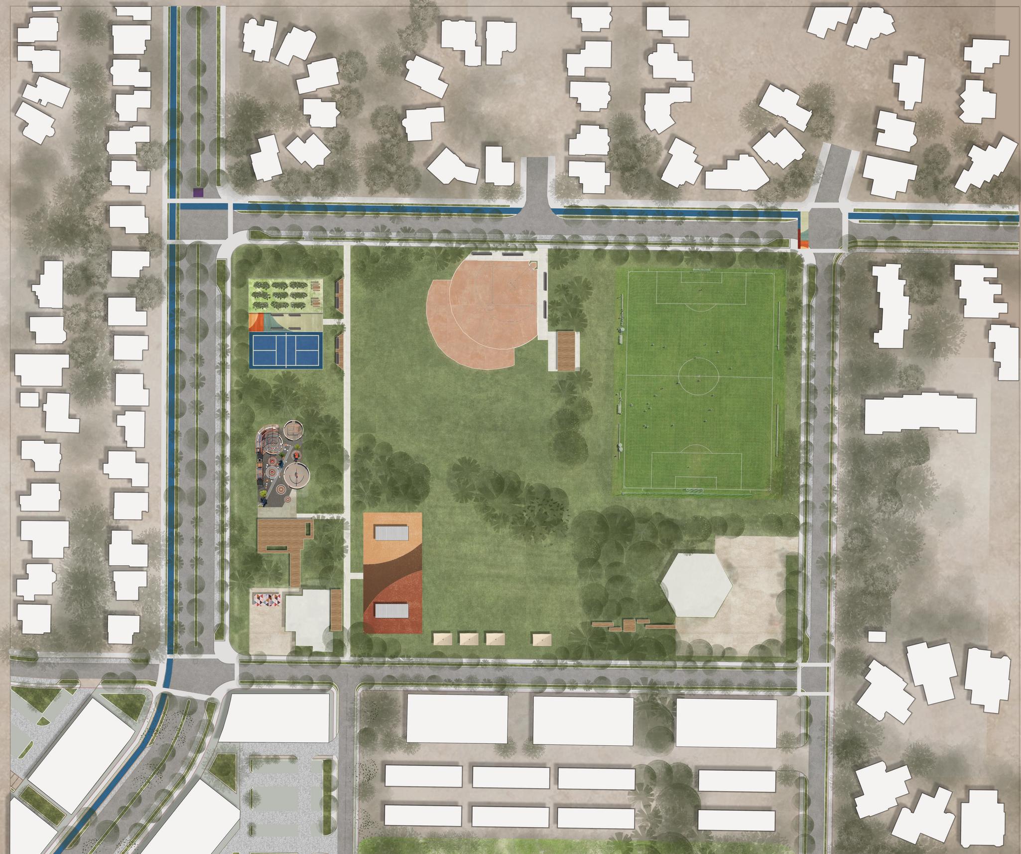
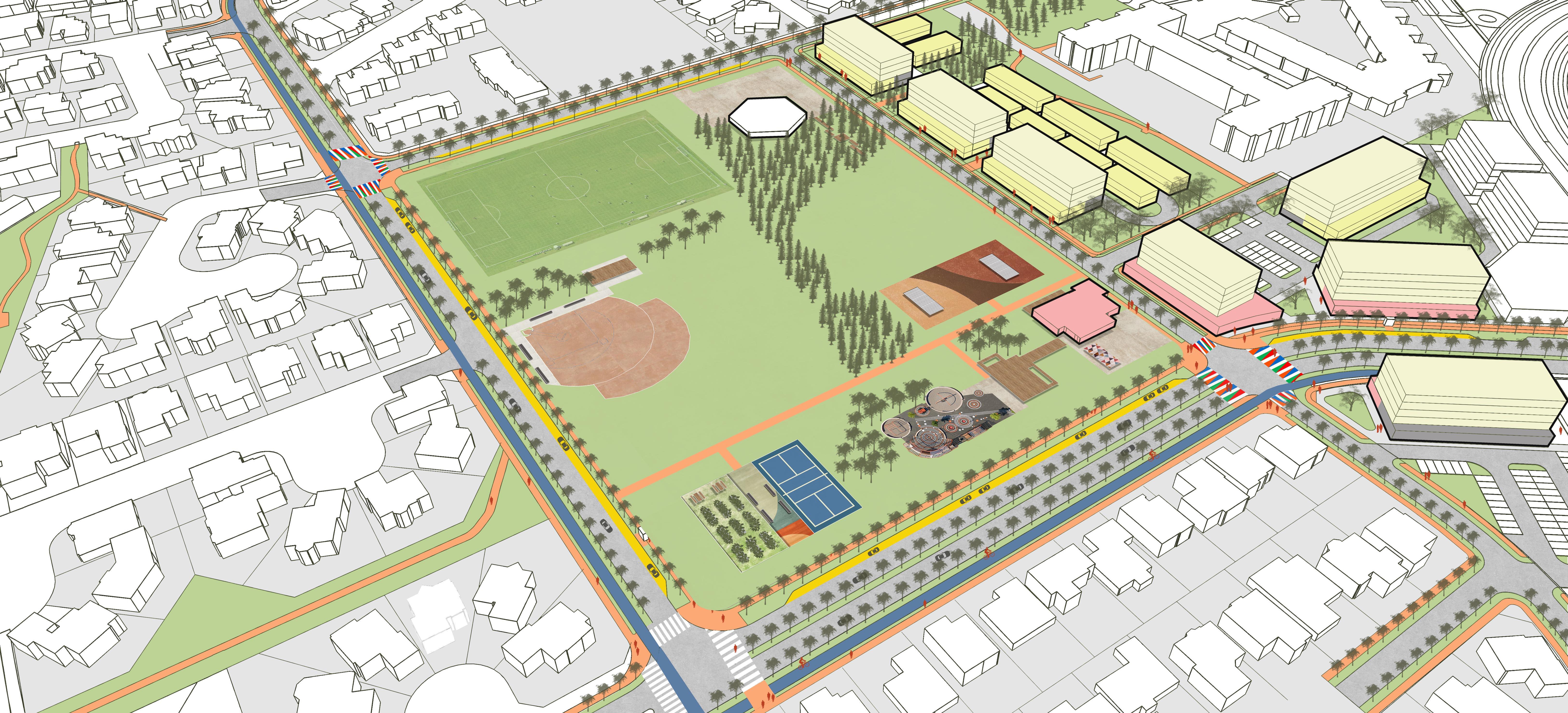
5.11 | NODE 4
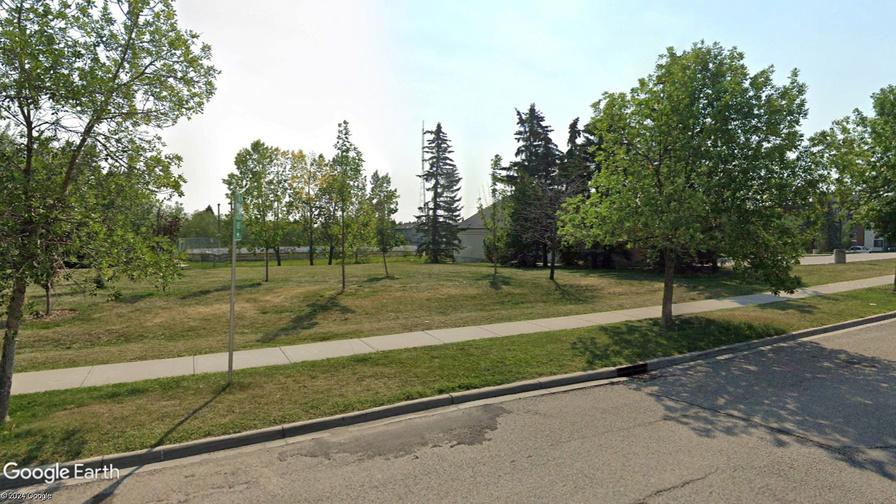
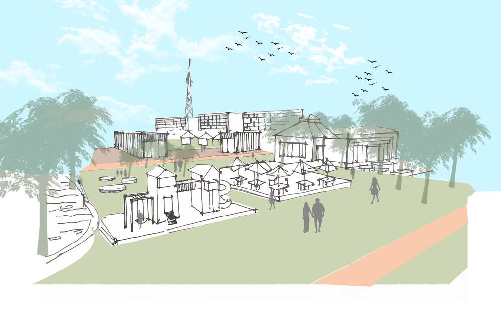
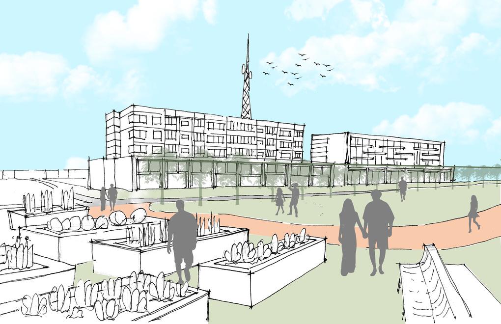
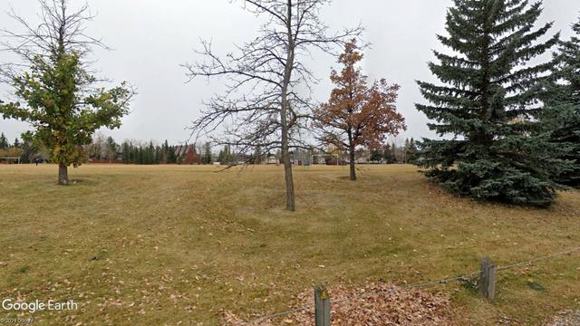
Coach Hill Park
The Vision
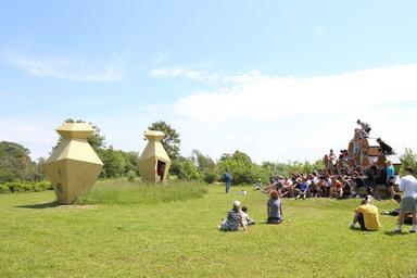
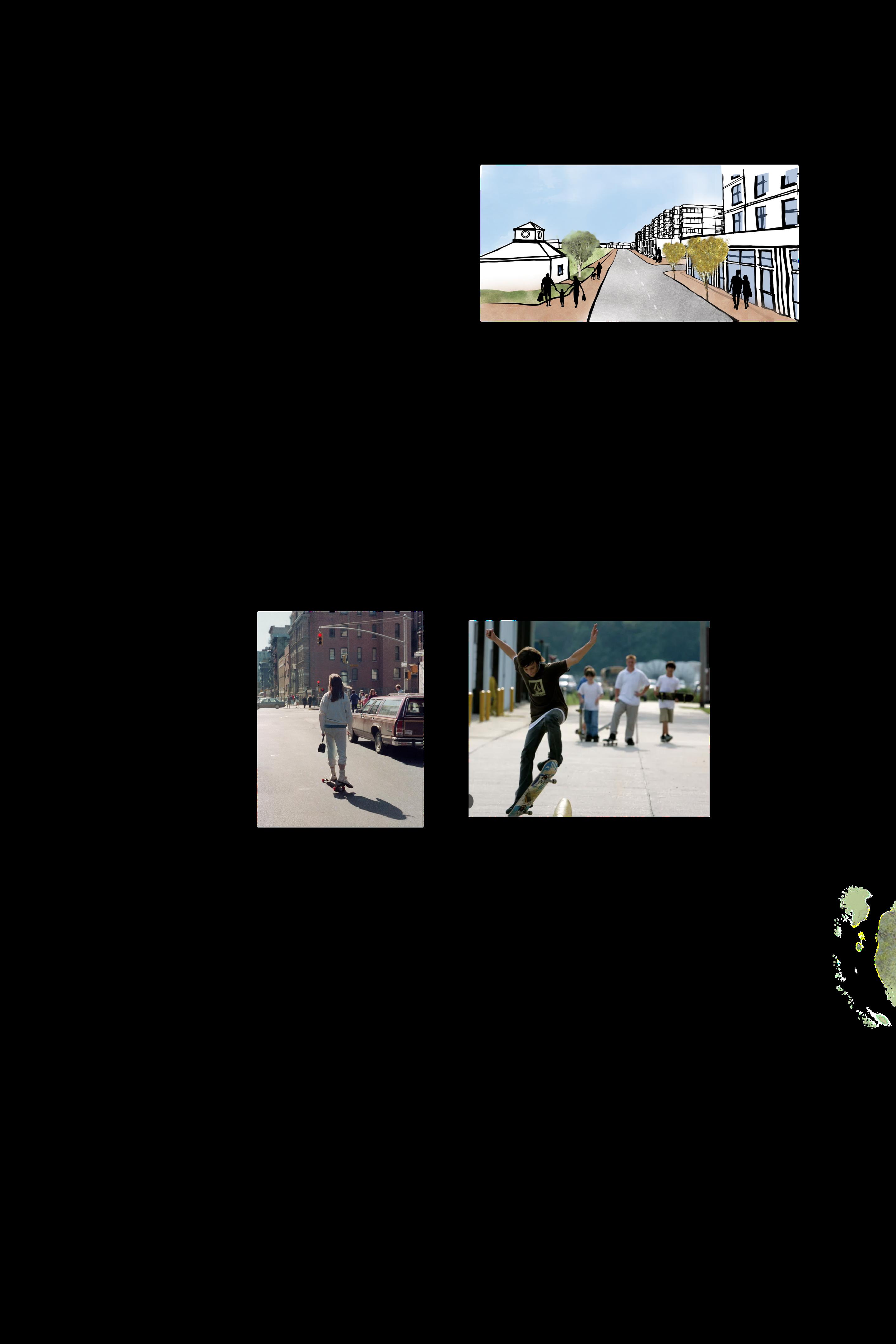
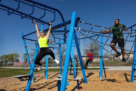
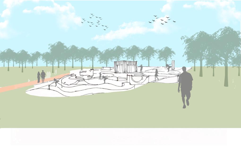
The vision of Node 4 is a contemporary space where all age in the community are able to engage with the outdoors. It theme will be recreation, building on the existing O2 proposa for an outdoor activity hub. Whether it’s a fitness challenge skateboarding with friends, or simply enjoying the fresh air Coach Hill Park will foster an environment that helps facilitat an active lifestyle for everyone.
Context Map
Concept Sketch
Coach Hill Park
Strategies
Node 4 is strategi activation of e multifamily housing Building on its statu now include additi for teens and an running track fo architectural featur significant point al our Heritage Walk living.

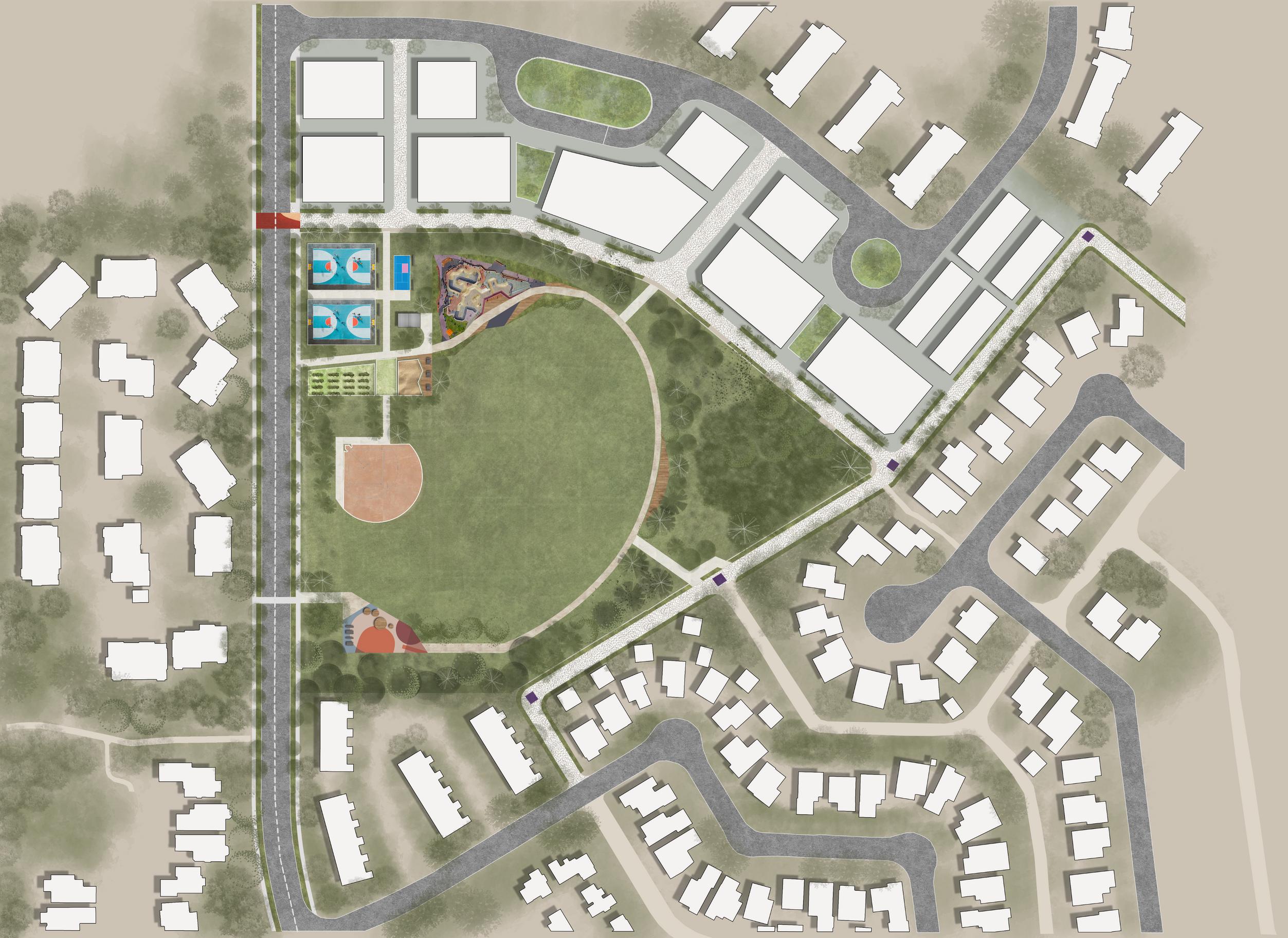
Plan View of Coach Hill Park
Bird’s Eye View - Coach Hill Park Reimagined
Precedents
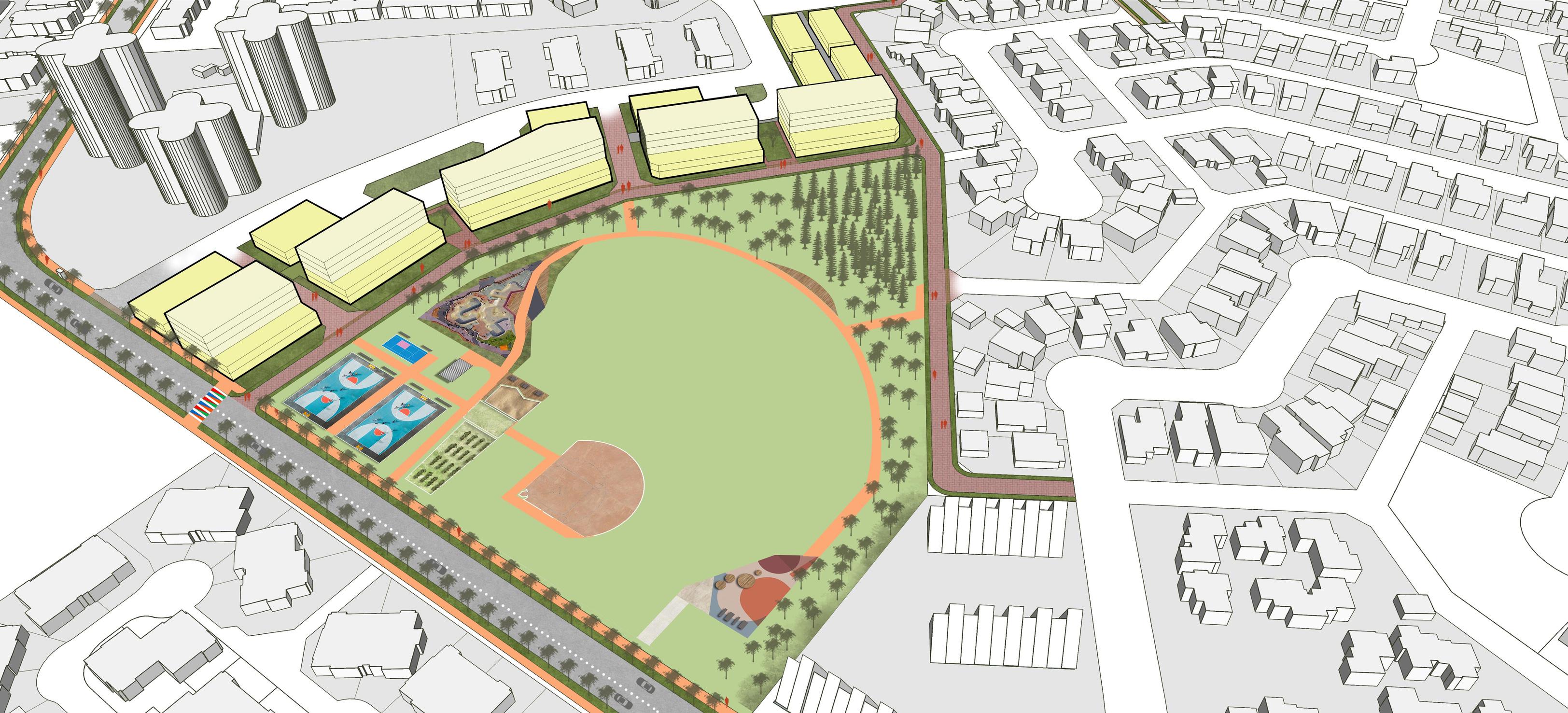
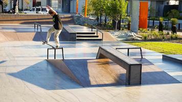
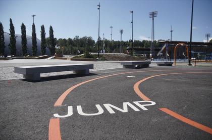
Ska e Park
Jogging Track
Outdoor Fitness Area
Existing Proposed
(View from Laneway Behind Coach Hill Park)

(View from Laneway Behind Coach Hill Park)
Existing Proposed
(Coach Hill Park Corner View)
(Coach Hill Park View with proposed Skate Park)
6.0 | FEEDBACK ON THE PLAN
6.1 | OPEN HOUSE
“The Housing Density is a nice addtion around the Park edges.
“A family restaurant in the Community Hall...that’s such a great idea.”
“Love the Heritage Walk idea. And yes, add the Pub and Museum.”
“The signal crosswalks and multimodal streets are great. It would be much safer for my daughter.”
“We’ve been talking to the city about getting fencing for the Dog Park - so the dog park design is great.”
“A skatepark - that would be neat. My kids would totally enjoy it!”
6.2 | STEERING COMMITTEE
“The outdoor learning hub is a great replacement for the existing underutilized playground. The city is already looking for ideas to improve this area. ”
“Heritage walk and community identity is such a strong part of this project.”
“The community plaza is so neat and it will transform the public realm experience of the commercial node.”
The density in the built form is logically located and tied to all other concepts.
“The push button crossing lights would be something my toddler would love, and they increase safety!”
7.1 | SHORT, MEDIUM AND LONG-TERM STRATE
History & Identity
Short Term
Tactical painting of Old Road Collaboration with Heritage Calgary, Federation of Calgary Communities, and Indigenous communities
Organize walking tours
Equitable & Safe Mobility
Medium Term
Implement identity and wayfinding elements to enhance the community character areas
Tactical interventions for crosswalks, traffic calming and safety
Alleyway activation
Open Space Network
Adaptive Built Form
Bike lanes
Bioswales
Curb extensions and added sidewalks
Placemaking tactical interventions to enhance existing features in park spaces
Adaptive reuse of community association building into a family restaurant Laneway housing
Paved walking/cycling path additions and enhancement for connectivity
Green bus stops and green walls
Community gardens and seating areas
Long Term
Develop the Heritage Pub and Museum to create a destination in the community
Full street retrofit with dedicated areas for pedestrians, bikers and reduced lane widths
Full street/alleyway landscaping with pavers and street tree canopy
Themed interventions of identified green spaces to create unique destinations
All-age programming to encourage interaction between different generations
Redevelopment of the existing Coach Hill Plaza
Mixed-use development along the commercial node
Increase housing density on the identified park edges
7.2 | PLAN POLICIES
7.2.1 Conceptual Future for Coach Hill Patterson Heights
The following policies function as a non-statutory guideline for future programming and development of the Coach Hill Patterson Heights community. These recommendations aim to prepare the community for change and growth that adheres to The City of Calgary’s vision for Complete Communities. The policies also present guidelines to shape the community as a desirable place to live, for a diversity of people, now and into the future.
Building Style: Commercial and Mixed-Use
Building styles for commercial and mixed-use shall reflect contemporary building styles and practices. Buildings developed within the designated Commercial Node of Coach Hill Patterson Heights Plaza shall be no more than 5 storeys high, unless required to increase in density through negotiations with land acquisition agreements.
All mixed-use shall have active commercial frontages that reflect vibrancy through storesignage and window displays. Facades at grade-level shall be glazed to increase activation at street level.
7.2.2 General Policies: Built Form, Open Spaces, Mobility
Vision 21 Planning’s Improvement Plan envisions Coach Hill Patterson Heights plaza as the central node of activity for the community. Integrating a mix of services, residential needs, and recreational spaces will increase diversity and sustain the commercial area into the future. The increased activity at this central node will be supported by a high quality public realm that includes wide and connected sidewalks, street-landscaping, and an equitable share of street-space to support diverse mobility forms (i.e., wheeling, scooting and cycling). Additionally, visible connections to green and open spaces will increase network connectivity from this central node. Heritage and historic features of the community shall be uniquely integrated into the commercial design to uphold community character and sustain a strong sense of place.
7.2.2.1
Built Form
The section focuses on the interface between current and future built form in the community and types of commercial required. It emphasizes the importance of quality public realm, achieved through active commercial frontages, a reduced importance on single-use vehicles, and street-space that is designed or retrofitted to support leisure activity, walking and wheeling.
Creating Complete Communities
“Our journeys are supported by the city around us - the sidewalks, lights, building, open space, roads and transit service. The way a community is built-out and evolves should support the activity of the people who are there and those who will be there in the future.” - The City of Calgary, Complete Communities Guide
7.2 | PLAN POLICIES
Building Style: Residential
Building styles for commercial and mixed-use shall reflect contemporary building styles and practices while also being sensitive to surrounding residential context and styles. Areas highlighted for residential redevelopment in 5.6 Adaptive Built Form shall promote an active interface between residential frontages and park space edges. This will ensure a community that is connected to nature and has access to shared social spaces.
Commercial Types
Both existing and new commercial should promote a diversity of commercial needs. This may include additional services for residents (i.e., banks, small grocers etc.) and boutique, family-style, and bar-style restaurants. Existing commercial should experiment with activation through enhancing storefront aesthetics with new signage, lighting or tactical painting. Moreover, future commercial development shall include small to micro retail spaces that will support local businesses and small-scale vendors.
7.2.2.2 Open Spaces
Parks and Open Spaces are key assets to any community. They offer safe and inexpensive places for resident social interaction, connection to nature, and outdoor learning opportunities, while providing activities for recreation and leisure. This section focuses on utilizing and enhancing Coach Hill Patterson Heights existing parks and open spaces. It emphasizes the importance of park programming for all ages, the activation of park edges to increase accessibility, enhance park spaces into destinations, and recommendations to designate parks by Use-themes. Use-themes may guide future decisions on the location of various park programming types, and appropriate locations for various community events.
Community Parks
The following large community parks were included in this improvement plan; The Off-Leash Dog Park, Prominence Park, and Coach Hill Park. Additionally, smaller park spaces were included; the underutilized playground by Sarcee Park, and the CFCN Tower look-out spot. Although Vision 21 Planning supports inclusivity and the use of any park by any age, it is recommended that each of these park spaces be enhanced through the guidance of UseThemes and Priority Users. This will create more specific programming in each community
park space and assist in the development of a sense of place, unique character, and a specific destination type to each park.
Programming Recommendations
The Off-Leash Dog Park should support continued use for pets, with fencing that reduces conflict between large and small pets, and nearby traffic flows. Additionally, this park should integrate senior park programming due to its opportunistic proximity to Patterson Heights senior living facilities. Options may include community garden beds, resting and warming areas with community fire pits, and accessible park pathways (paving and levelling). These interventions will also include the enhancement of the existing children's playground.
Use Theme: Social Node
Priority Users: Pet-Owners, Children, Senior Residents
Prominence Park should support accessory outdoor programming that is integrated with the Commercial Node. This park shall have the highest intensity usage. Its use-theme should focus on family-oriented programming, inclusive of patios and picnic areas integrated with the existing playground, semi-competitive sports, and medium to largescale community events (i.e., movie nights).
Use Theme: Social Node
Priority Users: Families, Leisure and Semi-Professional Sports Groups, Events (Large)
Coach Hill Park recommendations build on the existing redevelopment proposal for the Outdoor Community Area (O2 Planning). This park should integrate teen programming in the form of appropriate activity spaces. Additionally, space should be retained for sports and other outdoor fitness types.
Use Theme: Social Node
Priority Users: Families, Teens, Fitness-Users, Recreational Sports, Events (Small)
Park Design Enhancements
All parks have the opportunity to be enhanced through design interventions. Our recommendations for park enhancements can begin with tactical interventions that build into permanent structures. These include:
7.2 | PLAN POLICIES
park lighting wayfinding (signage to destination areas)
seating shading apparatus’ landscaping and tree planting community garden boxes receptacles
7.2.2.4 Mobility
This section focuses on circulation and movement patterns within the community. It emphasizes equitable mobility shares achieved by laneway width reductions and increasing space for pedestrians, wheelers, and cyclists. Roadway interventions have been focused on Old Banff Coach Road, Patina Drive and Coach Hill Road. Additionally, safety feature recommendations will reduce speeding within the community and lessen conflict between mobility modes.
Pedestrian Routes
The pedestrian experience along each of the identified roadways shall include: appropriate and continuous pedestrian-scale lighting; crosswalks that integrate safety features (i.e., push button or priority signal lights, sound alerts, raised, coloured or painted crossings); continuous sidewalks with a minimum width of 2m. (1m may be used where designated in 5.4 Equitable and Safe Mobility); integration of urban furniture (i.e., seating/rest areas, patio extensions), garbage receptacles and shading apparatus’ or landscaping).
Cycling Routes
The cycling experience along each of the identified roadways shall: be well-lit;
include separated and priority cycling signal lights along Old Banff Coach Road at each junction (see 5.4 Equitable and Safe Mobility); include continuous lanes with a minimum width of 1.5m (single direction) and 3.0m (bidirectional).
Parking and Vehicle Use
If new development occurs, parking requirements should be relaxed where development is located at a 500m radius from Coach Hill Patterson Heights Plaza. Where parking requirements must be enforced, it shall be located underground, unless environmental reports otherwise dictate.
Street parking should be located along designated park edges and sensitively integrated into the Coach Hill Patterson Heights Commercial Node. Existing parking lots may be enhanced through the following interventions; planters; tactical painting; lighting.
Mobility safety shall be increased by the reduction of laneway widths in future development. Maximum laneways shall be 4m, with a preferred width of 3.5m. Street parking width shall be 2.5m. This will reduce speeding in the neighbourhood and lower conflict between mobility modes.
7.2.2.5 Heritage
This section focuses on leveraging the community’s heritage and historic assets. It emphasizes integration of the Coach Hill Patterson Heights history into existing and future parks programming and built-form development.
Where appropriate integration of community history shall be visible through the following interventions; wayfinding (i.e., flags or signage); posters, art or programming (i.e., murals, prints, movies etc.); community signs may be enhanced by integrating seating, information plaques or QR codes; programming heritage/historic walks can begin to build community awareness and capacity for future programming supporting heritage and history story-telling.
8.1 | THE FUTURE - COACH HILL PATTERSON HEIGHTS
PRESERVE Natural Heritage
CELEBRATE Indigenous Lands
ACCESS Neighbourhood Assets
INTEGRATE History and Design
PRESERVE Land and Parks
CELEBRATE Together and Enjoy Your Neighbourhood
ACCESS Green Space Equitably
INTEGRATE Accessible & Multi-Modal Networks
PRESERVE Resources and Reduce Emissions
CELEBRATE Nature
ACCESS Clean Air, Local Food, and Shelter
INTEGRATE Sustainable Design Practices
By supporting and integrating Coach Hill Patterson Height’s unique history into its existing built form and parks, the community can begin to enhance its identity and strengthen community ties.
By enhancing existing parks spaces through programming and design, the community can create more opportunities to be together to share and experience diverse amenities, activities and events.
By preparing for the future, the community can sustain current and future generations. This can increase quality of life, connection to nature and provide opportunities for new neighbourhood and local-scale businesses.
“Vision 21 Planning sees a bright road ahead for Coach Hill and Patterson Heights Community.
One that celebrates its past, utilizes its present and plans thoughtfully and collaboratively for its future!”
8.2 | COMMUNITY WALKTHROUGH
AND 360 EYE LEVEL VIEWS
Vision 21’s concept plan for CHPH leverages historic community legacies to build community identity and capacity, while our reimagined street and land use designs emphasize equitable mobility, vibrant shops and services and programmed green spaces.
Scan the QR codes below to experience our conceptual renders showcasing transformative urban planning and design ideas tailored to the Coach Hill and Patterson Heights Community.


Spot 1: Bar Museum
Spot 2: Commercial Node
Spot 3: Alleyway
Community Fly Through
100 Architects. (n.d.). Coded scape. https://100architects.com/project/coded-scape/
Amazing Architecture. (n.d.). Leddy Maytum Stacy Architects designs Edwin M. Lee Apartments, a model for healthy living and resilience in San Francisco, California. https://amazingarchitecture.com/residential-building/leddy-maytum-stacy-architects-designs-edwin-m-lee-apartments-a-model-for-healthy-living-and-resilience-in-san-francisco-california
Azure Magazine. (n.d.). These are the EV charging stations of the future. Retrieved April 20, 2024, from https://www.azuremagazine.com/article/these-are-the-ev-charging-stations-ofthe-future/
Calgary Playground Review. (n.d.). Calgary's top 15 playgrounds 2021. https://calgaryplaygroundreview.com/calgarys-top-15-playgrounds-2021/
Calgary Playground Review. (n.d.). Calgary's top 15 playgrounds 2021. https://calgaryplaygroundreview.com/calgarys-top-15-playgrounds-2021/
Chaves, A. (2019, July 24). utrecht bus stops transformed into 'bee stops' to support pollinators. Designboom. https://www.designboom.com/design/utrecht-bus-stops-bees-07-242019/
City of Calgary. (n.d.). Online land use bylaw. Retrieved April 20, 2024, from https://www.calgary.ca/planning/land-use/online-land-use-bylaw.html
City of Calgary. (n.d.). Municipal development plan. Retrieved April 20, 2024, from https://www.calgary.ca/planning/municipal-development-plan.html
City of Calgary. (n.d.). Guidebook for great communities: Proposed. Retrieved April 20, 2024, from https://www.calgary.ca/content/dam/www/pda/pd/documents/current-studiesand-ongoing-activities/guidebook/guidebook-for-great-communities-proposed.pdf
City of Calgary. (n.d.). Meeting minutes. Retrieved April 20, 2024, from https://pubcalgary.escribemeetings.com/filestream.ashx?DocumentId=14564
City of Calgary. (n.d.). Climate change. Retrieved April 20, 2024, from https://www.calgary.ca/environment/climate.html
City of Calgary. (n.d.). Public access document. Retrieved April 20, 2024, from https://publicaccess.calgary.ca/lldm01/livelink.exe? func=ccpa.general&msgID=ETTrqKAgscU&msgAction=Download
City of Calgary. (n.d.). Community profile: Coach Hill. Retrieved April 20, 2024, from https://www.calgary.ca/content/dam/www/csps/cns/documents/community social statistics/community-profiles/coach-hill.pdf
City of Calgary. (n.d.). Community profile: Patterson. Retrieved April 20, 2024, from https://www.calgary.ca/content/dam/www/csps/cns/documents/community social statistics/community-profiles/patterson.pdf
City of Calgary. (n.d.). The City of Calgary – Data portal. Retrieved April 20, 2024, from https://data.calgary.ca
City of Calgary. (n.d.). Calgary Transportation Plan 2020. https://www.calgary.ca/content/dam/www/transportation/tp/documents/ctp2020/CTP-2020-P12.pdf
City of Ottawa. (n.d.). Protected intersection design guidelines. https://documents.ottawa.ca/sites/documents/files/protectedintersection dg en.pdf
City of Vancouver. (n.d.). Design guidelines for all ages and abilities cycling routes. https://vancouver.ca/files/cov/design-guidelines-for-all-ages-and-abilities-cycling-routes.pdf
CivicWorks Consulting Ltd. (n.d.). Our work. Retrieved April 20, 2024, from https://www.civicworks.ca/our-work
Coach Hill Patterson Heights Community Association. (n.d.). Home page. Retrieved April 20, 2024, from https://www.chph.ca/
Dallas Innovates. (n.d.). Dallas City Council approves construction on downtown park renovation. Dallas Innovates. https://dallasinnovates.com/dallas-city-council-approves-construction-ondowntown-park-renovation/
DeMarco, N. (2020, July 24). Artists transform streets into vibrant geometric patterns using just tape and paint. My Modern Met. https://mymodernmet.com/geometric-street-painting-langbaumann/
Design Raid. (n.d.). Urban Beehive Project by Nine Yards Studio. Design Raid. https://designraid.net/13437/urban-beehive-project-by-nine-yards-studio/
KaBOOM! (n.d.). Stories. KaBOOM!. https://kaboom.org/stories?utm source=090711&utm medium=email&utm campaign=eblast
Landezine. (n.d.). Glassfields by BD Landscape Architects. https://landezine.com/glassfields-by-bd-landscape-architects/ Landezine. (n.d.). Myyrmäki Sports Park by LOCI. https://landezine.com/myyrmaki-sports-park-by-loci/
Lappset. (n.d.). 10 reasons why outdoor training is better than a gym workout. https://www.lappset.com/en-GB/article/10-reasons-why-outdoor-training-is-better-than-a-gym-workout
Neibauer, M. (2016, August 19). Battle over Adams Morgan plaza rages on. Washington Business Journal. https://www.bizjournals.com/washington/morning call/2016/08/battle-overadams-morgan-plaza-rages-on.html
Streetlife. (n.d.). Rough&Ready bike parking. Streetlife. https://www.streetlife.nl/en/products/roughready-bike-parking
T. (2014, September 1). Solar panel art - The next generation of cool. ActiveRain. https://activerain.com/blogsview/4466712/solar-panel-art---the-next-generation-of-cool
Bhavana Chaudhary | Jeremy Pham | Sahil Kadiwar | Tiffany Deobald