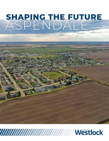
SHAPING THE FUTURE ASPENDALE
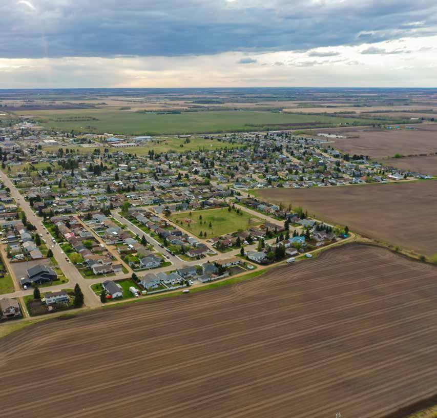
The Aspendale Area Structure Plan is being prepared (pending Council approval - eta December 2025) to provide a comprehensive land use and servicing framework for the orderly and efficient development of the Aspendale neighbourhood within the Town of Westlock. If approved by Council, it establishes a high-level vision and planning direction to facilitate growth and development in response to the Town’s increasing demand for developable residential and commercial lands.
The Plan provides guidance for the phased subdivision and development of approximately 25.13 hectares (62.10 acres) of land, supporting the expansion of Westlock’s urban footprint in a way that is logical, integrated, and aligned with municipal goals.
Westlock is actively seeking development partners to bring the Aspendale vision to life through phased, serviced land development. With strong municipal support, a collaborative planning environment, and streamlined approvals, the Town is ready to move quickly with qualified partners. Combined with growing regional demand for attainable and diverse housing, Aspendale represents a unique, shovelready opportunity to invest in a well-positioned community that will define the next chapter of Westlock’s growth.
Plan Area Boundary
Low Density Residential (R1 and/or R1-B) District
Medium Density Residential (R2 and/or RMM) District
High Density Residential (R3) District
Commercial Multi Purpose (C-MP) District
Highway Commercial (C-H) District
Parks and Recreation (PR) District
Stormwater Facility (SF)