


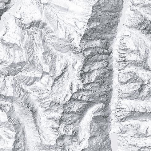
Innradweg
Driving on all other forest roads, alpine roads and alpine trails is prohibited by the Forest Act. EASY
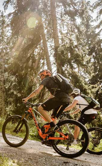
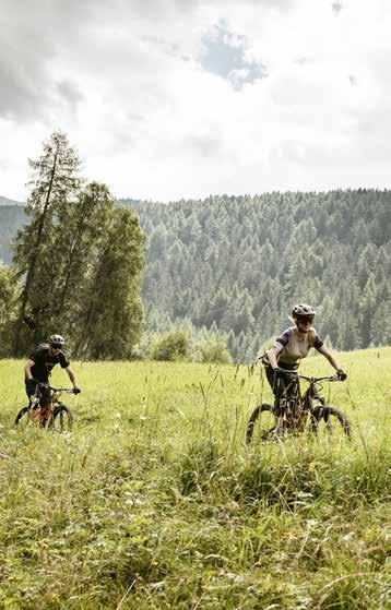
Family-friendly mountain bike path with a mostly good road surface. Uphill and downhill gradients barely exceed 5%, with a maximum of 15% on short distances. As a
MEDIUM DIFFICULTY
Requires athletic cycling skills and particularly defensive cycling behaviour. Mountain bike equipment is recommended. Uphill and downhill gradients between 5% and 12%, up to a maximum of 17% over short distances. There are confusing, winding sections along the route.
mandatory. Situation-adapted, forward-looking cycling is required.
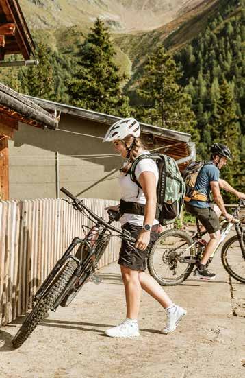
In contrast to classic mountain bike routes, single trails run not only on forest, alpine and farm roads, but also along narrow paths and climbs. The single trails in the Nauders – Tiroler Oberland – Kaunertal adventure region are also signposted with the official Tyrolean signage system.


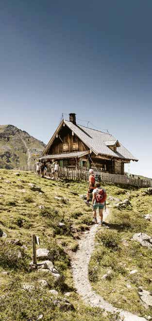
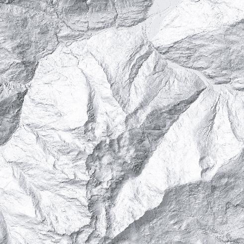
755 Gschneier Alm
1.080 m 11,3 km
Demanding mountain bike tour in the direction of Pfundser Tschey to the Gschneier Alm.
From the starting point at the Pfunds roundabout, you wind your way through the narrow streets of the village. As soon as you have left the last houses of Pfunds behind you, the long, challenging climb to the Gschneier Alm begins. The ratio between length and altitude on this tour is quite easy to remember: for every 1 kilometre, the altitude increases by 100 metres. You pass the lower Ackerleweg up to the paved road to Greit and follow it until you reach the hamlet of Greit and the Greiter Säge (half of the tour). In front of the famous Pfundser Tschey, the route branches off to the right over the bridge onto a forest road and continues uphill through the Riedwald forest. You catch a glimpse of the countless haystacks of the Tschey alpine meadows before the tour winds its way over the Gschneier creek into a tributary valley. With the Gschneier Alm now within reach, you can count the last five bends with one hand while drawing on your last reserves of energy. Once you have reached the top, you can enjoy some things you‘ve brought from home. Follow the same route on the descent back to the starting point in Pfunds.


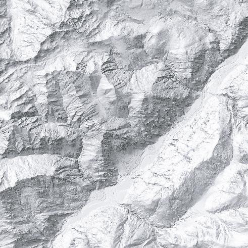
Beautiful but difficult tour through the high valley of the Pfundser Tschey and along the thundering Platz creek to the Platzer Alm.
From the starting point in Pfunds, this tour runs parallel to tour 755 Pfunds to Gschneier Alm. If you are still undecided at the start about which tour to take, you can decide at the latest at the Greiter Säge junction. First, follow the ascending asphalt road, past Margreid and Greit to the Greiter Säge and on to the Pfundser Tschey car parking. From here, the breath-taking high valley, with its lush mountain meadows and countless hay barns, opens up ahead of you. Once you have crossed the Tschey and reached its highest point, turn right and a little later you will come to the Platz creek, which leads you further and further into the Platzertal. On the way uphill, you cross several bridges and remain within at least earshot of the Platz creek at all times. After reaching the remains of the former ore and silver processing plant, the gravel path continues until you reach the Platzer Alm at 2,181 m. During the alpine pasture season, you will be provided with drinks and delicacies. If you still have some energy left, you can explore the restored ruins of the old Plaztertal mine, which can be reached on foot. Take the same route on the way back.
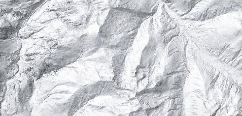
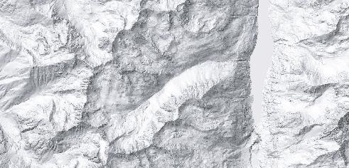
Winding through the wild and romantic Radurschltal, this tour runs through beautiful natural landscapes up to a spot on the Radurschlalm that‘s ideal for a hearty snack.
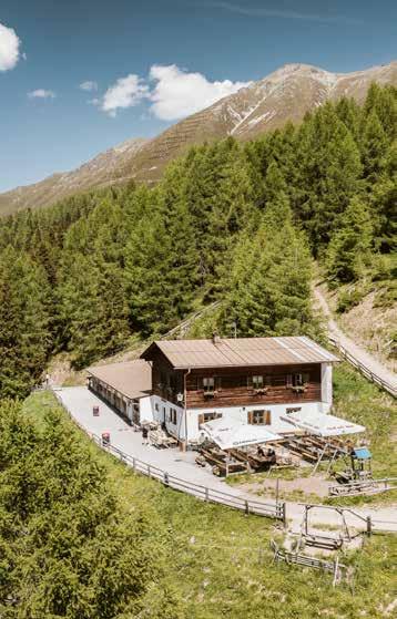
A beautiful, but also demanding mountain bike tour through the breathtaking forests of the Radurschl valley. From the starting point at the roundabout, after leaving the cycle path, it continues uphill towards Ulrichs chapel. In the shelter of the trees, this tour is a pleasure even in the height of summer and provides sufficient cooling on the climb of over 800 metres in altitude. Along the slope, the easily passable forest road winds its way into the valley to the valley junction, where you leave the Pfundser Tschey on the left and now follow the Radurschlbach. The forests become lighter and more and more mountain meadows appear as you progress along the valley, making this tour a true nature experience. The Radurschlalm, where you can refresh yourself with drinks or light meals, is peacefully located at the highest point, at an altitude of about 1,800 m. If you still haven‘t had your fill, you can continue to the valley station of the Hohenzollernhaus material cable car and then walk to the Hohenzollernhaus. The route back leads along the same path to the starting point in Pfunds.

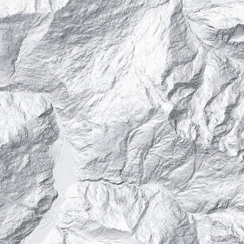
Demanding mountain bike tour for technically experienced bikers, with some very steep sections in the last section of the route.
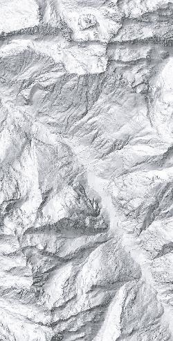
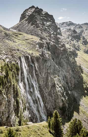
From the starting point at the Ried local authority offices, the route first runs through the village of Ried and on the cycle path parallel to the 7109 Ried to Fendels mountain biking route. Passing meadows and farms, it continues gently uphill towards Gfrans, where route 7109 branches off to the left and the Stalanzer Alm Bike & Hike route continues straight ahead on a forest road. The roar of the Stalanzer creek, which only a little further on becomes visible deep down in the gorge, surrounded by the massive Schlanterkopf (2,519 m) and Zirmesspitze (2,945 m) mountains, slowly becomes audible. The path now leads parallel to the Stalanzer Bach, where the road becomes increasingly steep and demanding and requires a high degree of technical skill. Once you have reached the small bridge, you have to climb the last kilometre to the Stalanzer Alm. Nestled on a small plateau, you will then come to the Stalanzer Alm, which is open in summer and invites you to linger and enjoy the breathtaking view of the Anton-Renk Falls. Bear in mind when you take the same way back down, the path is very steep and requires technical cycling skills.
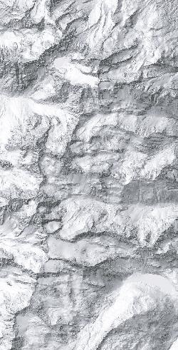
From an idyllic valley to a mountain village: the mountain bike tour to Fendels.
The mountain bike route from Ried to Fendels offers a varied cycling experience for sporty cyclists with good basic fitness. The tour starts in the centre of Ried and leads comfortably along the Inn Cycle Path and then turns left towards Langwiese. From here on, you pass by idyllic meadows and farms. Once you get up as far as the hamlet of Gfrans, you come across a barrier that announces the transition to the forest path, which is laid out in a steady climb towards Fendels. Along the whole route you are accompanied by wonderful views of the Upper Inn Valley and the surrounding mountains in the dramatic Tiroler Oberland. In the upper section, you pass shady forests and smaller clearings – perfect for a short break. The route continues on forest and gravel paths through the forest, over the Fendler Mure creek, which is occasionally filled with water, and over the old sled run to Fendels. Once you arrive in Fendels, stop for a rest at one of the inns in the village. If you want, you can continue from here towards Sattelklause or the Fendler Alm (7138 Sattelklause to Fendler Alm).
1. Avoid contact with grazing livestock. Do not feed animals and keep a safe distance.
2. Keep calm; do not frighten grazing cattle.
3. Mother cows protect their calves; encounters between mother cows and dogs must be avoided.
4. Keep dogs under control and on a short leash at all times. If an attack by a grazing animal is to be expected, release them immediately.
5. Do not leave hiking trails on alpine pastures and meadows.
6. If your path is blocked by grazing cattle, walk around them while keeping as much distance as possible.
7. If you‘re approached by grazing cattle, stay calm, don‘t turn your back on the animals and avoid them.
8. Leave pasture areas quickly at the first signs of restlessness among the animals.
9. Pay attention to fences. If there is a gate, use it, then close it again properly and cross the pasture quickly.
10. Treat the people working here, nature and animals with respect.

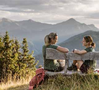
The mountains of Tyrol Experience together
The tour starts at the mountain station of the Ried to Fendels gondola. From here, the path initially leads to the left over a wooden bridge to the