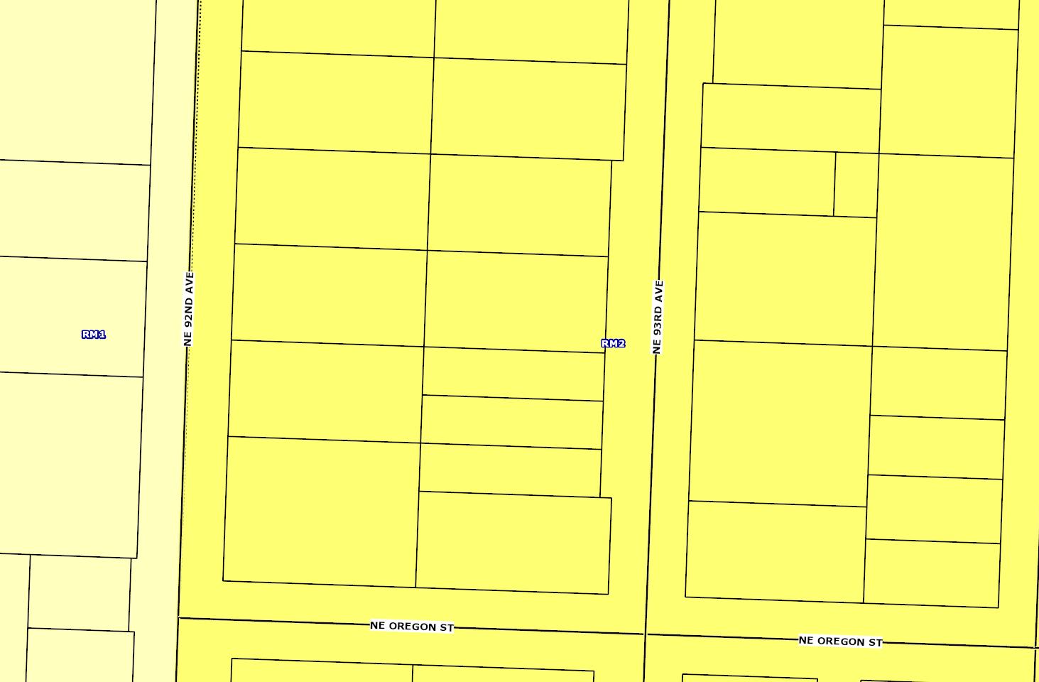
Residential Multi-Dwelling 2 (RM2)
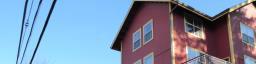
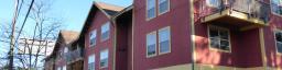
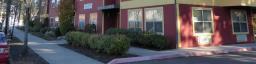
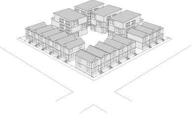
The RM2 zone is a medium-scale multi-dwelling zone applied in and around centers and corridors. Housing is characterized by 3-4 story buildings with an urban scale, but providing transitions in scale and characteristics to lower-scale residential zones. The types of new development will include a diverse range of multi-dwelling structures, fourplexes and rowhouses.
For specific zoning code details, visit the zoning code website . The regulations for this zone are found in Chapter 33 120
Generally, the uses and character of this zone are oriented towards:

Primary uses include: household living, limited commercial on corridors
Quick facts
Location You'll find this zone in residential areas of town centers such as St. Johns and Hillsdale, and along corridors such as SE Division St. and N Lombard St.
45' maximum height, which is generally up to 4 stories
1.5:1 FAR increasing to 2 25:1 with bonus provisions, such as affordable housing
Parking Not required for up to 30 units on small sites up to 10,000 ft² or on sites near frequent transit. 1 space per 2 units on other sites.