The joining of Sacramento and its Riverfront



The joining of Sacramento and its Riverfront


Prepared for the River District Property and Business Improvement District.
PLANNING AND DESIGN TEAM
Atlas Lab
Erik Prince
Kimberly Garza
Brenna Castro Carlson
Karen Lomas-Martinez
Cooper Robertson
Mike Aziz
Brad Barnett
Emily Collins
Future Landscapes
Stephanie Braconnier
Staff
Devin Strecker
Cristina Navarro
Chris Evans
Maurice Scott
Board of Directors
Executive Committee
Ryan Loofbourrow
Ahmed Hamdy
Greta Lacin
George Bernabe
David Padgham
Board Members
Gina Albanese
Spencer Applegate
Eric T. Crane
Andrea Durham
Mark Dutrow
Ernie Gallardo
Kesha Harris
Robert Hedrick
Josh Kohlenbrener
Lisa Nava
Ryan Robinett
Strategic Plan Advisory Committee
Ahmed Hamdy
Ernie Gallardo
Greta Lacin
Ryan Loofbourrow
Ryan Robinett
Place Enhancement Group
Sam Greenlee, Alchemist CDC
Mallorie Hayes, Blue Diamond
Kiara Reed, Civic Thread
Patrick Stelmach, CBRE
Josh Kohlenbrener, Bauen Capital
Elizabeth Boyd
Karlo Felix
Leslie Fritzsche
Marco Gonzalez
Sparky Harris
Molivann Phlong
Dana Repan
Amanda Wallace
Amy Yang


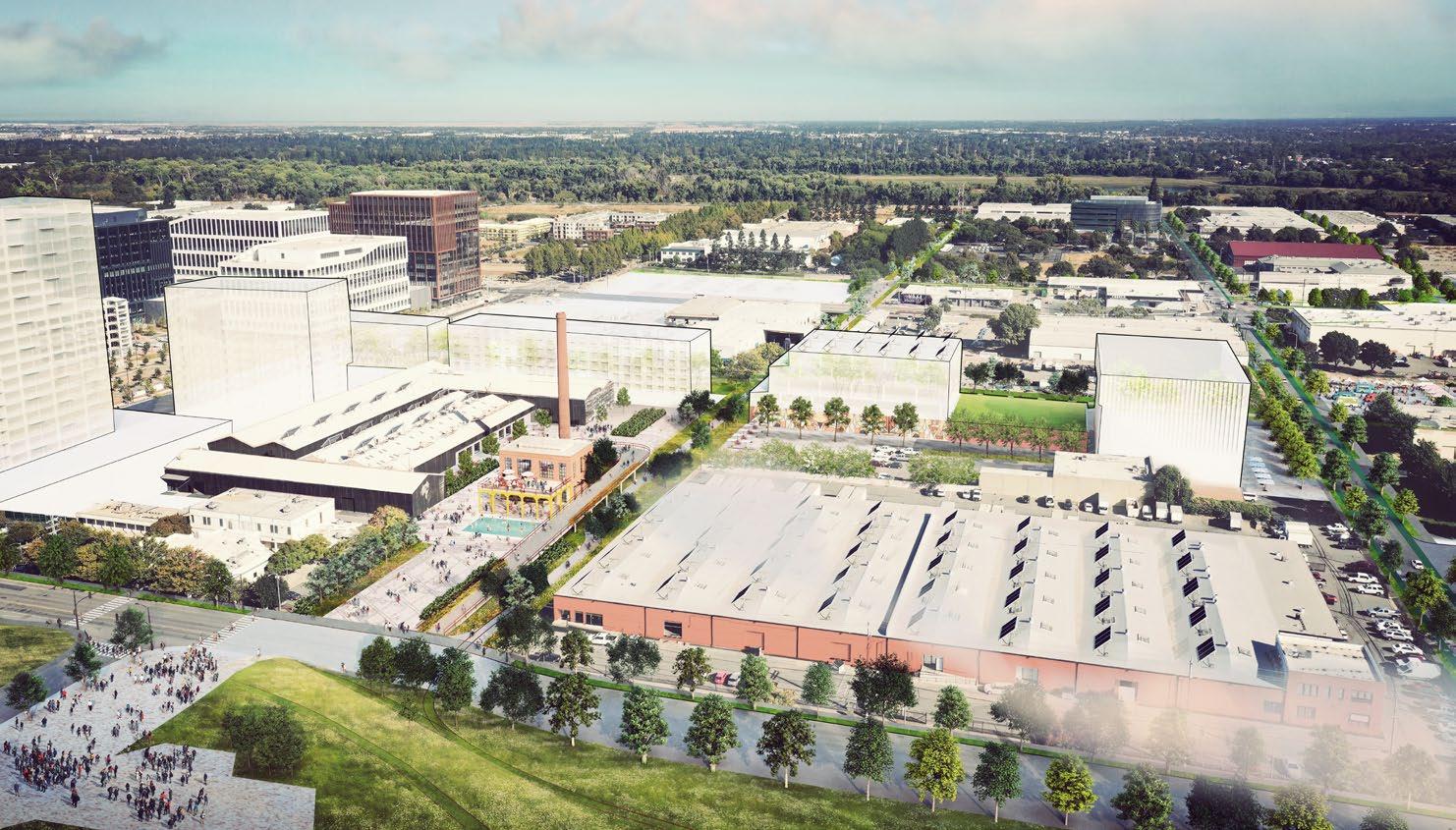
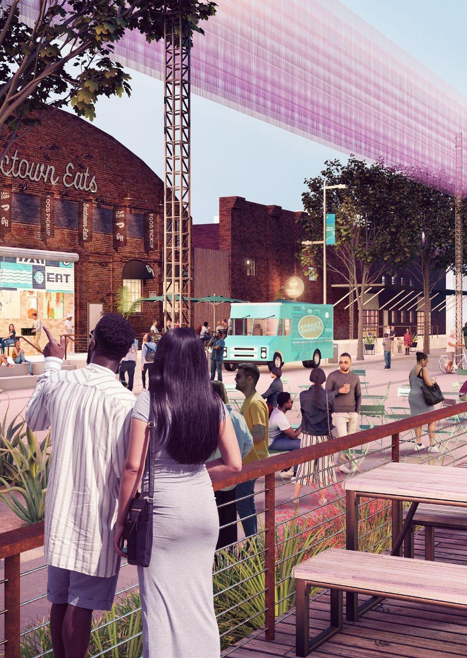
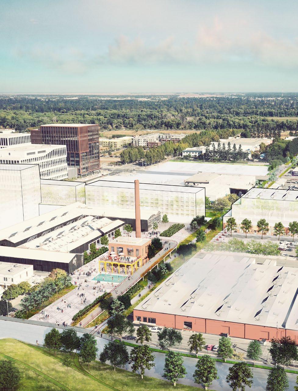
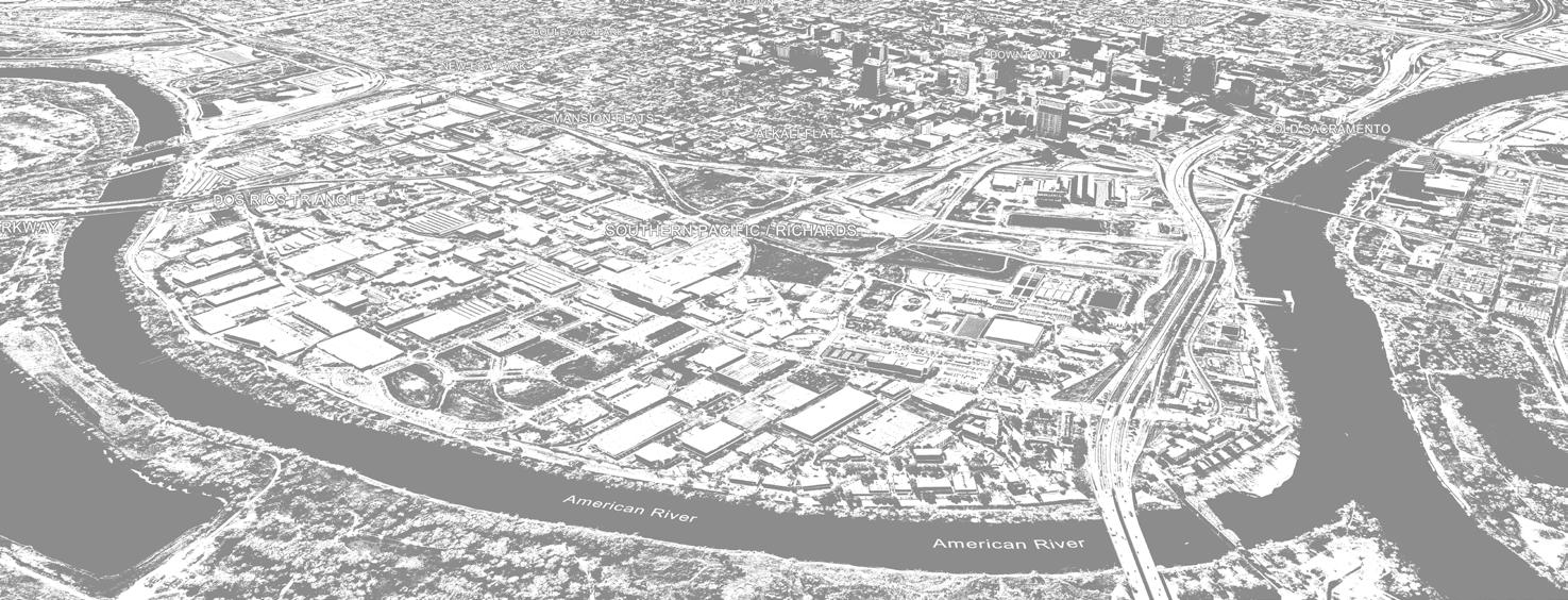
A vision that pivots growth of a massive industrial district towards Sacramento’s forgotten riverfront and adapts for maximum health and connectivity.
The Vision Plan is a key pivot point in the transition of the 2011 City Specific Plan into the upcoming updated Specific Plan. The vision focuses on developing a unique visual identity and public realm character that aligns with state, regional and city-wide goals. A key departure from the previous Specific Plan is the prioritization of historic corridors, including rail corridors and an old river channel to connect the Downtown Core to the riverfront. The Vision Plan envisions transforming these corridors into a city-wide network of greenways, repositioning warehouse and light industrial uses into a diverse, art-focused adaptive mixed-use district.
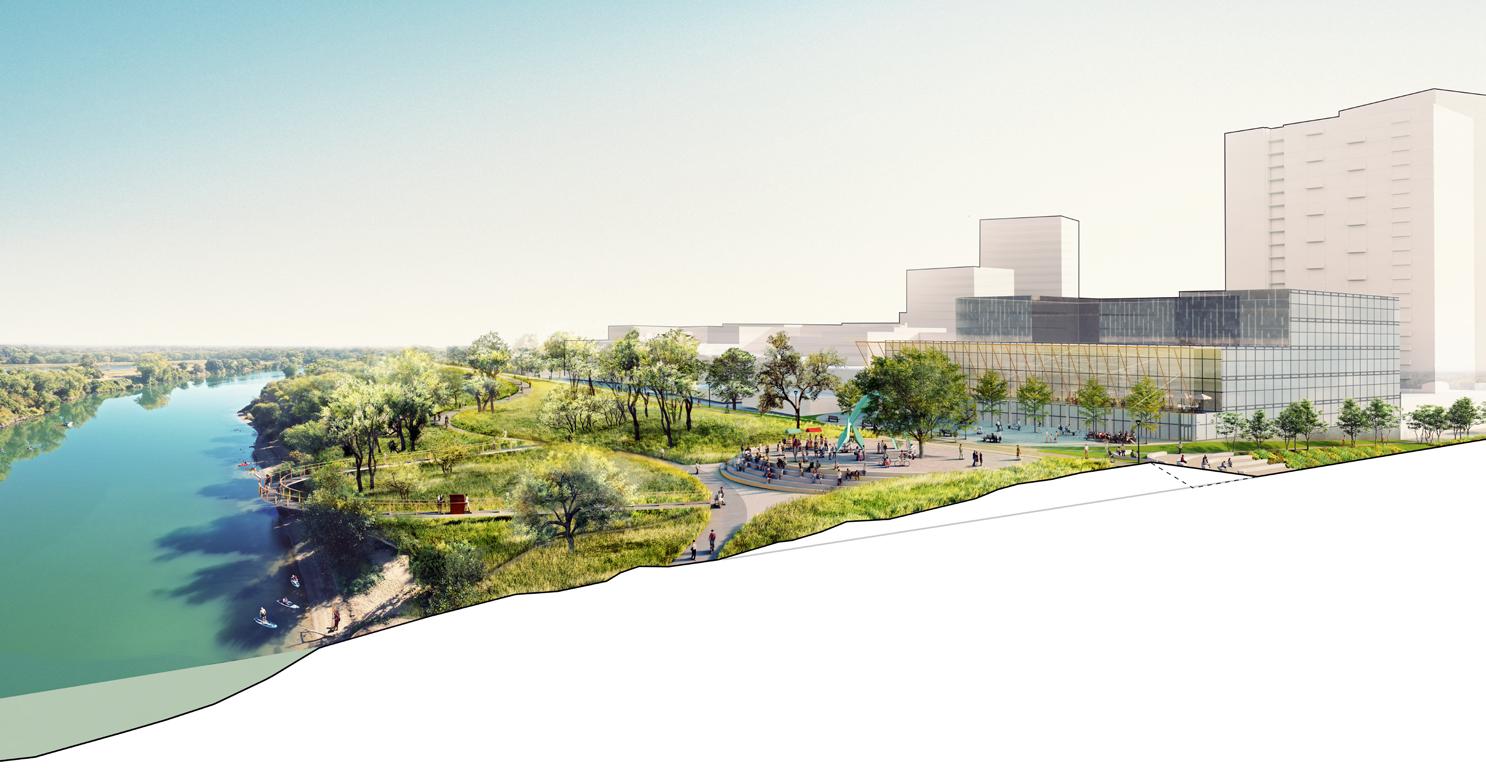
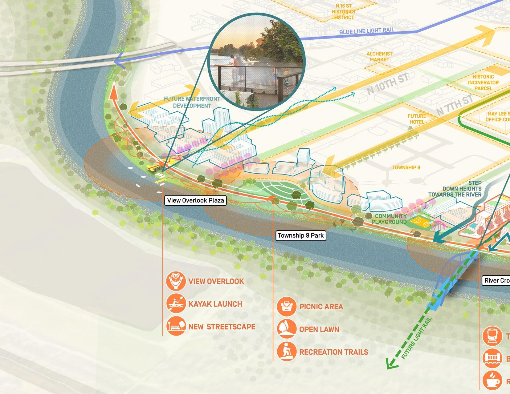
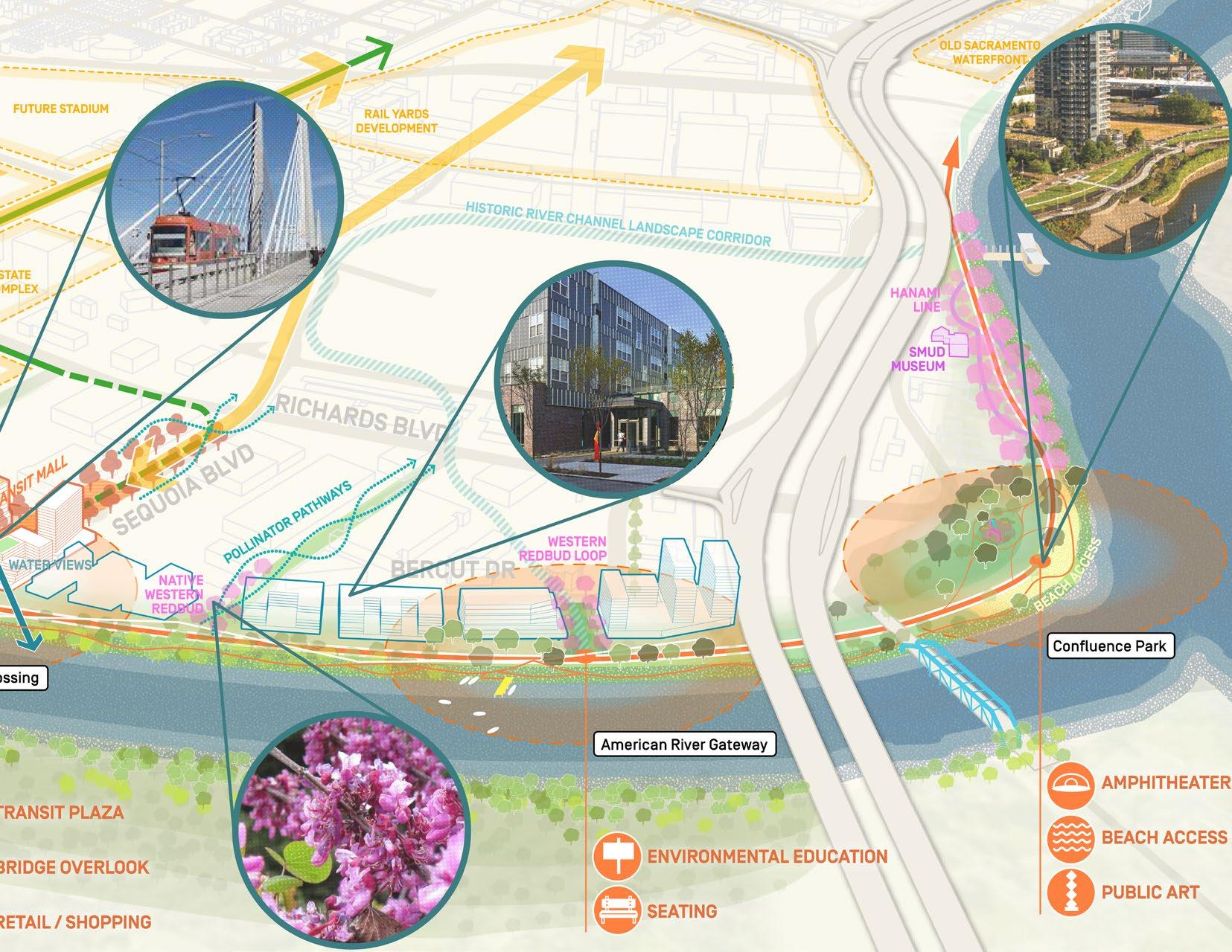
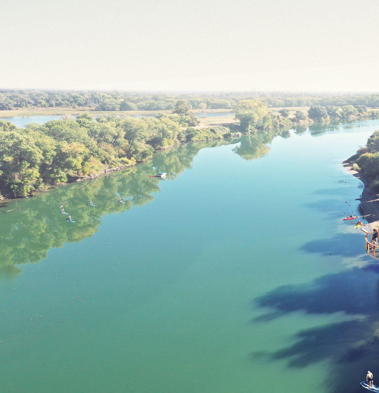
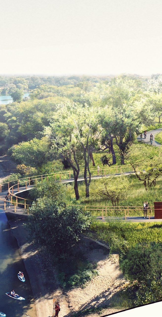
Another distinction of the plan is a focus on Riverfront development opportunities that have a unique, intimate and active relationship with the river. Instead of bands of parallel riverfront setbacks, the vision emphasizes sectional and perpendicular relationships with the river, directing desirable views, programming, active transportation, cool breezes and native planting from the river into the heart of the district.
The year-long Vision process incorporated a diverse group of private and public stakeholders to consider how to best leverage the River District unique assets and balance short-term needs with long-term strategies, while also preserving the unique historical character of the Districts’ many neighborhoods. The plan represents a critical moment for Sacramento and the River District. The next 20 years represent a once-in-a-generation opportunity to imagine a great waterfront city in Sacramento - to revitalize the capital city’s engagement with its Riverfront and forge new connections to the water. The Vision embraces what is unique to Sacramento - joining the confluence of two rivers, enriching existing neighborhoods, safely connecting and cooling residents, and helping the city grow sustainably.
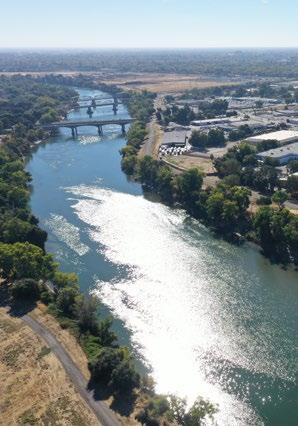
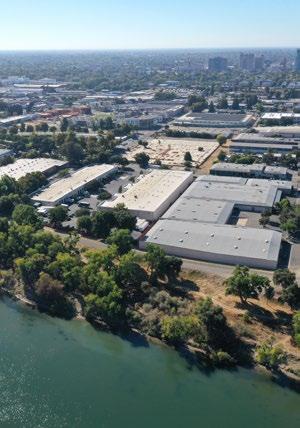
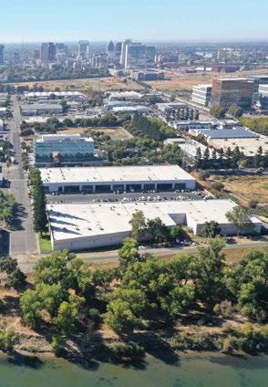
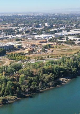
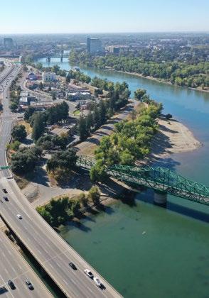
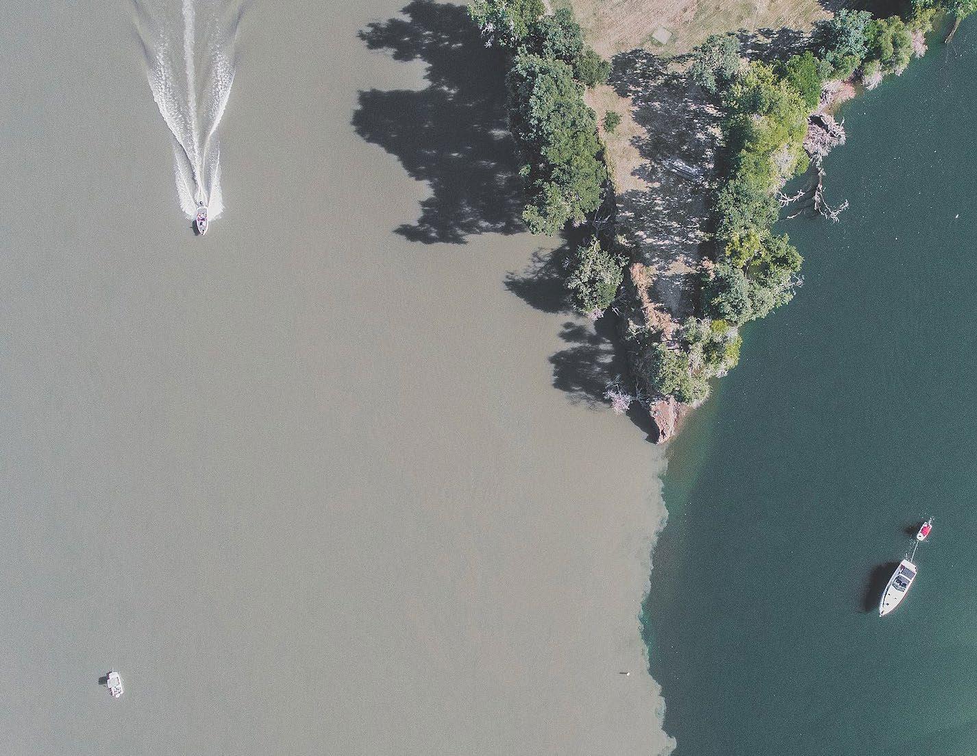
The magic of the River District is that when you zoom in on a map, you see the confluence of two rivers –the American River and the Sacramento River. So symbolically, what that means is the convergence of many different cultures, many different people,
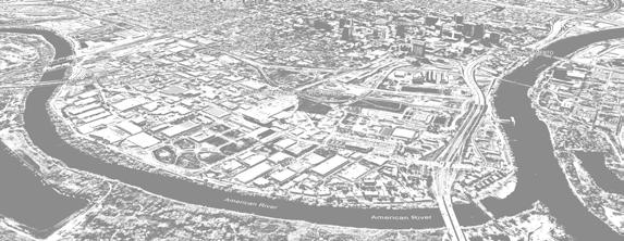


many ideas over the last few hundred years. We are literally, physically right at that confluence. We want to harness that kind of energy into the way we think about building this neighborhood.
-Devin Strecker, River District Executive Director
A strategy for strengthening the River District’s identity:
SACRAMENTO WITH ITS LOST WATERFRONT
THE RIVERS NATURAL FEATURES TO SUPPORT A HEALTHY AND CONNECTED DISTRICT
TOWARDS THE RIVER FOR A DISTINCT, DIVERSE AND INCLUSIVE RIVER DISTRICT
3 Miles of Waterfront
equal to the length of San Francisco waterfront from Oracle Park to Fishermans Wharf 830 acres nearly as large as Downtown and Midtown Sacramento combined
3,474 New Housing Units currently planned - over 5x as many residences as there are in the District today
Limited Trail Access Points
compared to 25 points along 3 miles of San Francisco’s waterfront
4 Roads to Downtown with 22 streets on the grid that don’t connect 830 acres!
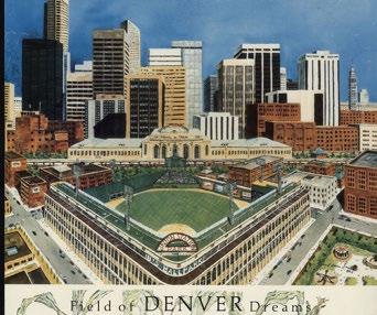
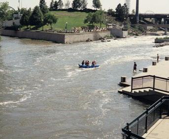
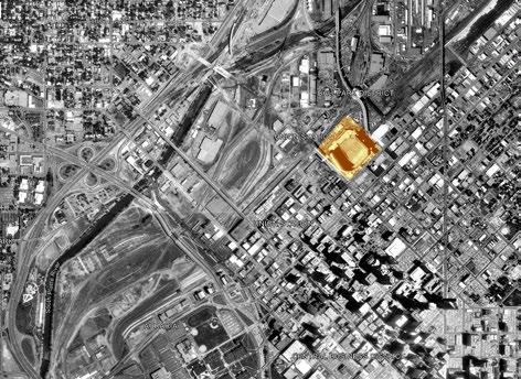
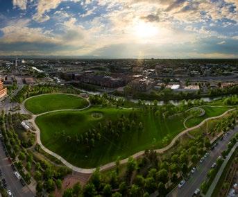
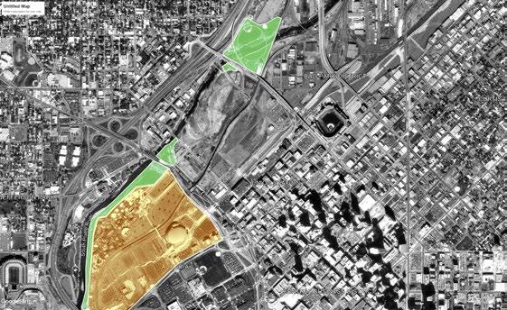
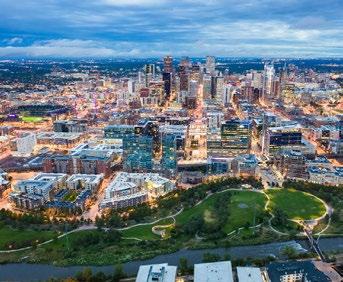
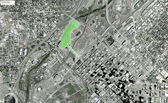
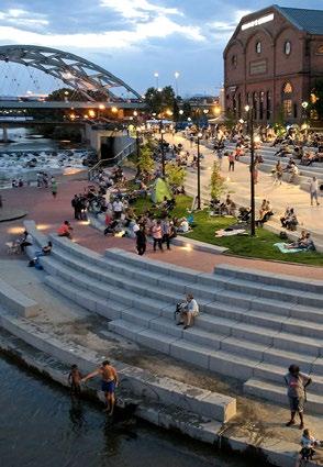
The Central Platte Valley, which stretches from Union Station to the riverfront, was the last major area of undeveloped land within Denver’s city limits. Mayor Peña supported the valley’s development by bringing together a coalition of business leaders, historically underrepresented communities, and labor interests with the goal of creating new public works that would in turn create jobs and bolster the economy. Confluence Park had convinced Denverites that the Platte Valley could become something other than an industrial landscape criss-crossed by viaducts.
Parks advanced the redevelopment of the Central Platte Valley, with their capacity to create public spaces for recreation while spurring development. Peña, Webb, and Hickenlooper administrations saw the valley transformed by a mixed-use neighborhood plan, a renewed riverfront, and parks, with Richard C. Farley, as Denver’s deputy director of urban design, and the local firm Civitas leading the charge. Designers envisioned the Central Platte Valley as an extension of Speer’s parks and parkways system, with the idea to connect Civic Center park to the proposed parks of the Central Platte Valley. Civitas’ 1998 vision for the Central Platte Valley further proposed that the city could grow toward and embrace the river with a chain of parks, The core idea that connects all of these projects was Civitas’ belief that redevelopment of this weak, semi-vacant industrial area could be catalyzed by new neighborhood connections. source: https://www.historycolorado.org/story/2021/06/11/imagining-great-city
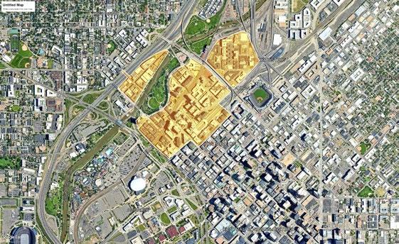
The “Riverfront Park” development has transformed 60-acres of industrial lands into one of the nation’s premier urban neighborhoods, reconnecting the city to its river. In the 20 years since its inception, Riverfront Park has brought nearly $3.8B in economic impacts including over $700M in assessed property taxes for the City, helping it and the city grow sustainably.
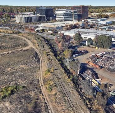
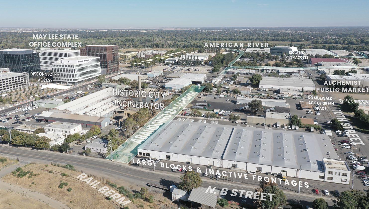
A rail berm with abandoned rail lines separates the River District from the Railyards. It is a physical and visual barrier between the District and Downtown Sacramento.
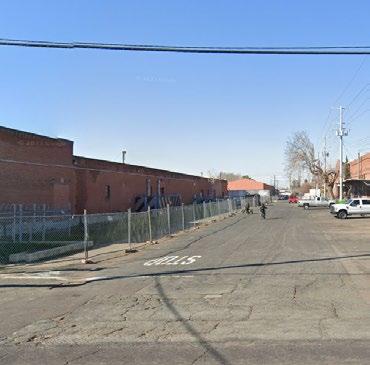
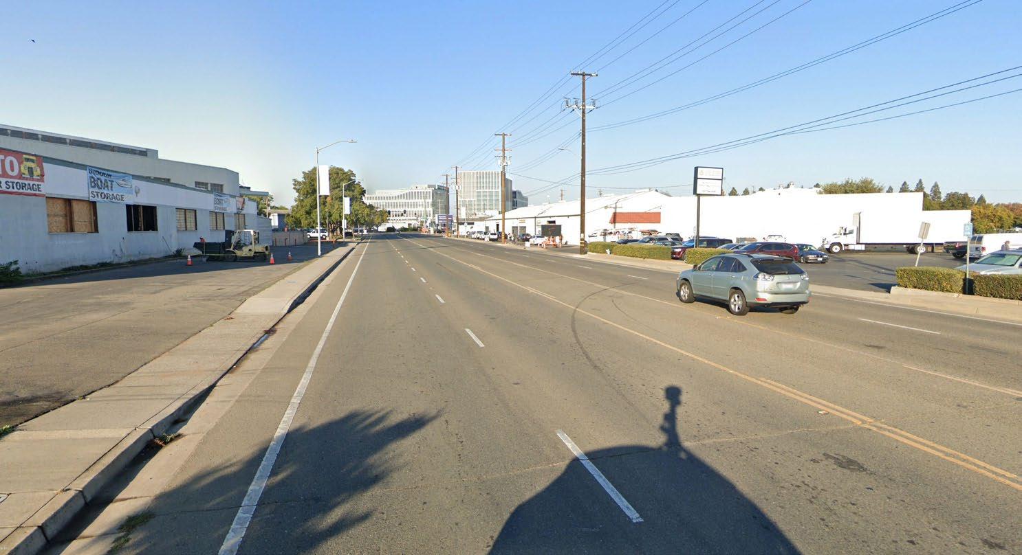
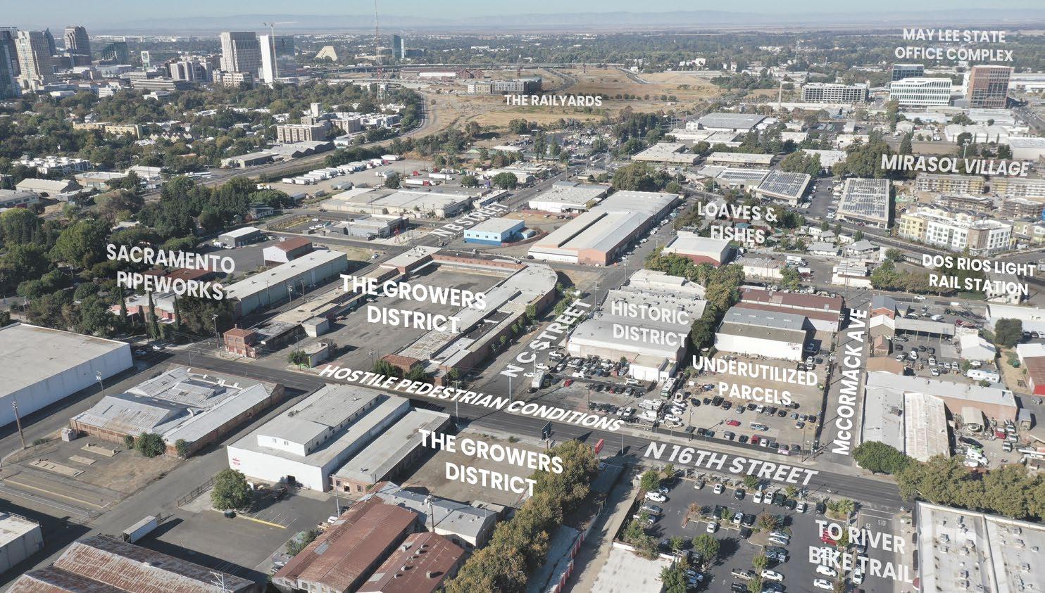
Many roads in the District do not have sidewalks, including N C Street, seen here from N 16th Street.
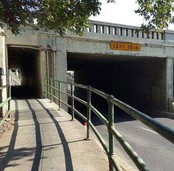
The 16th Street Underpass is a chokepoint between Midtown/Downtown Sacramento and the River District, limiting the flow of cars, bicyclists, and pedestrians traveling north on 16th as the street passes under active rail lines.
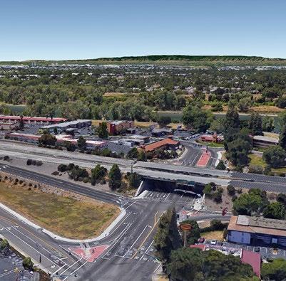
The Richards Blvd./I-5 interchange is one of only a few vehicular access points from Downtown Sacramento to the River District.
Pre-1850s: THE CONFLUENCE OF TWO RIVERS
Late 19th Century: AN INDUSTRIAL DIVIDE
Today: NEW MOMENTUM OF MIXED USE PROJECTS
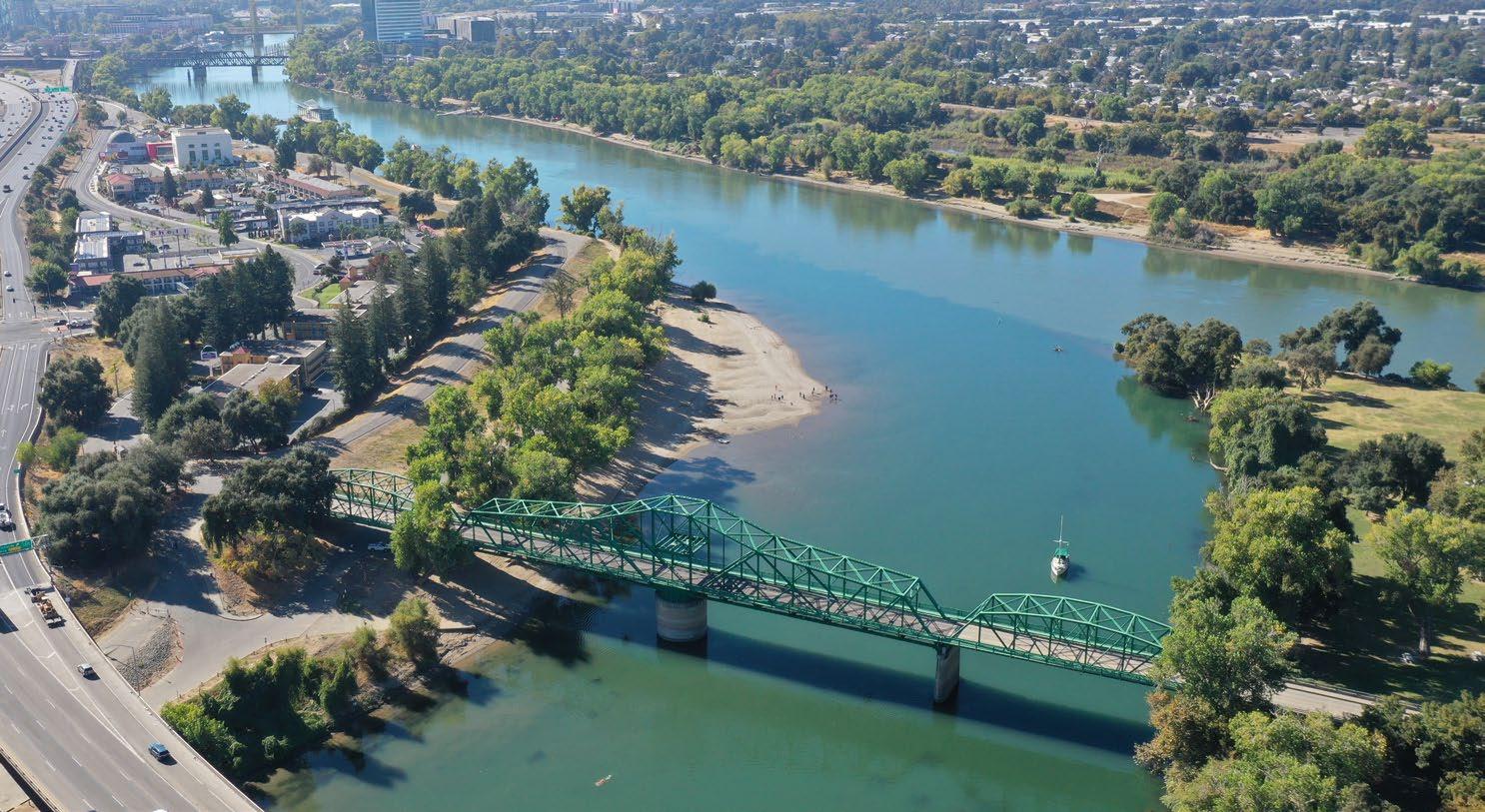
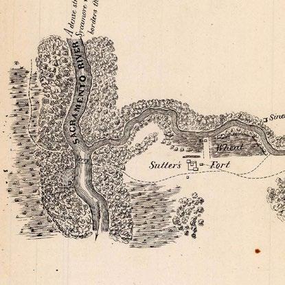
This map from 1848 shows the riparian woodland, wetlands, and original sinuous river course that pre-dated city development at the confluence.
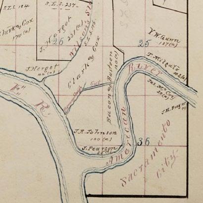
Even after urbanization began, the original river course remained until construction of levees for flood prevention.
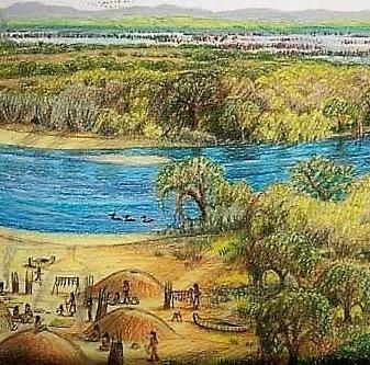
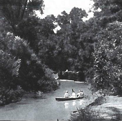
The River District’s history is grounded in its relationship to natural systems and its role in the regional economy. Millennia of flooding in the Central Valley created rich soils - agriculture has been, and still is today, the predominant industry of the region. Sacramento’s founding at the confluence of the American and Sacramento Rivers made it a critical point for shipping, a transition point for cargo and passengers between rail and boat.
As the city developed, flooding was considered a liability. Levees were built starting in the 1850s. This confined and changed the original course of the American River, which enabled industrial development but also created a district disassociated with the River.
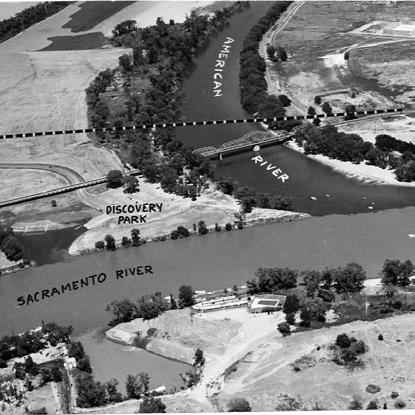
Though the course of both rivers once varied with yearly floods, levees now limit their movement.
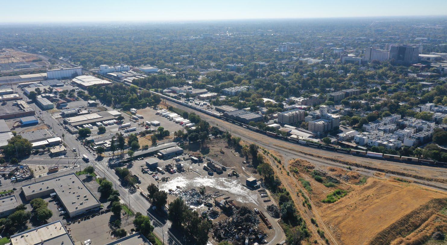
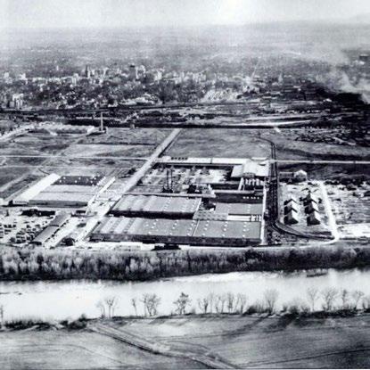
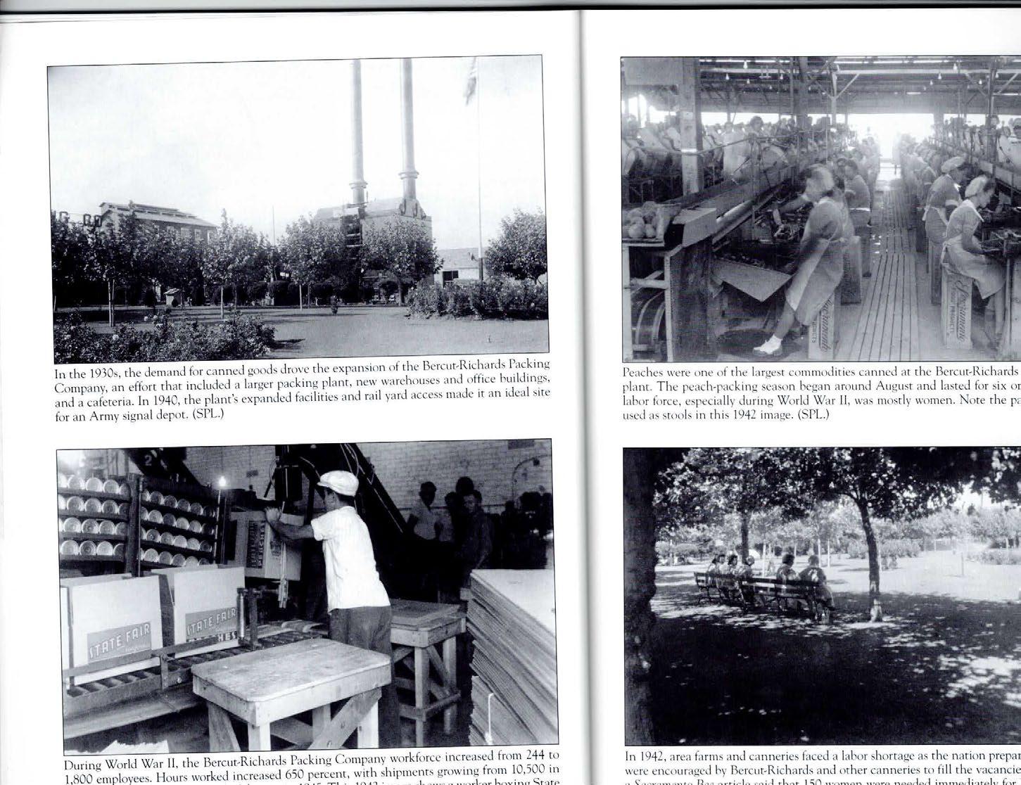
The growth of the Railyards created an industrial buffer that separated River District from Downtown’s growth. The area was largely neglected after flood control levees were built, and was home to a sparse collection of agricultural and industrial developments including a cannery, power station, and the City Incinerator.
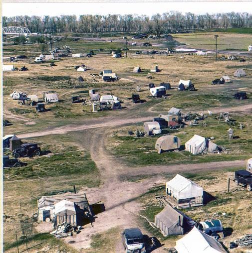
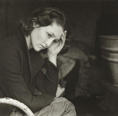
Laborer encampments proliferated during the Great Depression as it was largely cut off from Downtown and unregulated.

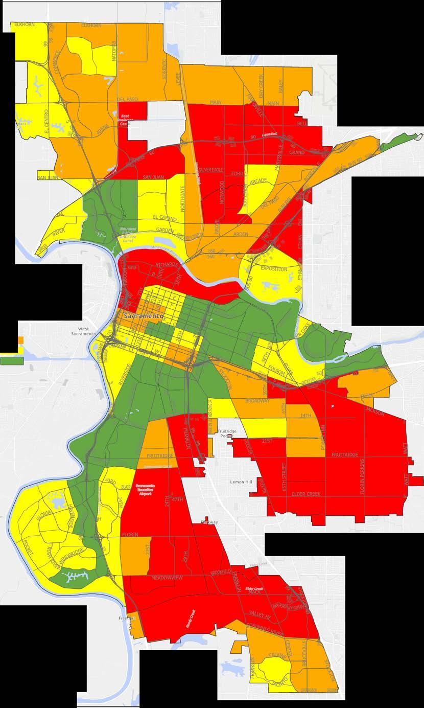
With a high proportion of pavement surface, and only about 1/3 as much tree cover as Downtown Sacramento, surface temperatures in the River District can be 10-15° F hotter than downtown. This condition reflects the past and current industrial uses within the District, in addition to a lack of public investment in street trees, parks, and green space.
In sharp contrast, temperatures along the American River Corridor, with its high density of trees and vegetation and evaporative cooling from the river, are some of the coolest within the City boundary. The cooling effect of the rivers mediates the temperature only at the immediate edges of the River District.

Numerous social services are located in the River District, contributing to a significant homeless population and a negative association of the district.
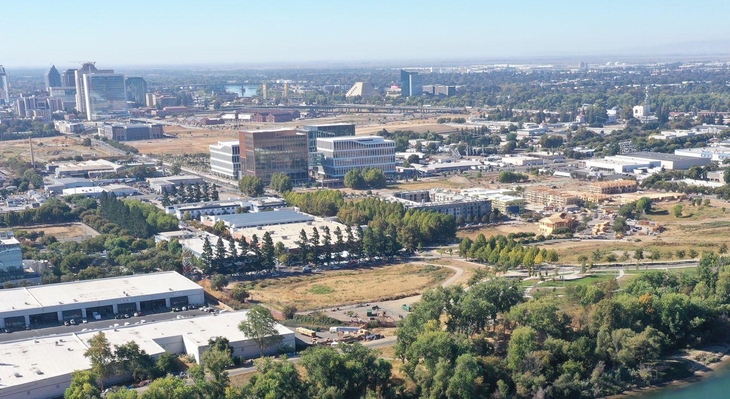
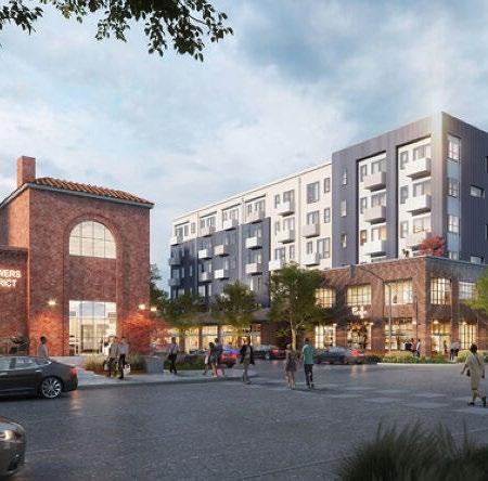
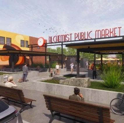
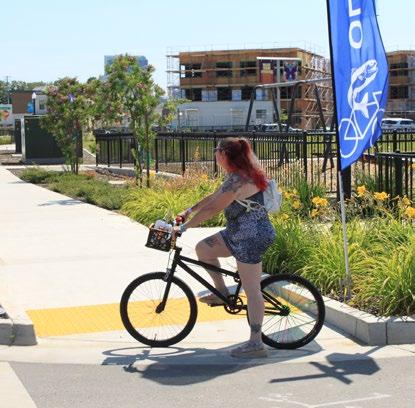
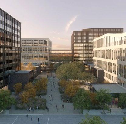
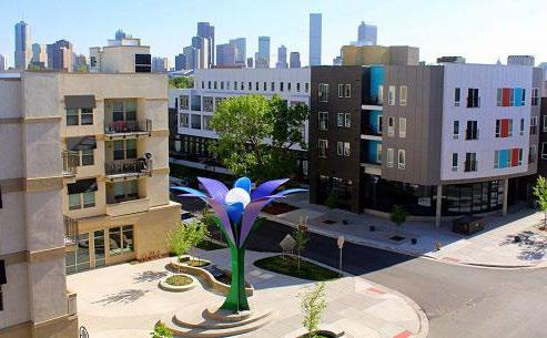
In the last 10 years new housing projects including Township 9, Growers District and Mirasol Village have brought a great mix of vitality and pedestrians to the district. Additional developments including the May Lee Office Complex, Alchemist Public Market, MoSAC, and other retail and commercial developments bring other types of uses to the District.
A recent focus on improvements to Sacramento’s riverfronts reveals a growing awareness of the importance of the rivers as an asset to the City. Projects and proposals include improvements in Old Sacramento, updates to the Riverwalk Park in West Sacramento, and a freeway cap over I-5 south of Capitol Mall to increase connectivity. With over 3 miles of riverfront, the River District has significant potential to contribute to Sacramento’s waterfront improvements, and connectivity improvements in the District should be considered along with other proposals.
GENERAL PLAN
Policy guidelines
Funding priorities
Flexible/adaptable
Character + identity
Organizes development
Based on principles
RIVER DISTRICT
SPECIFIC PLAN
Future Land Use + Zoning Design Guidelines
Transportation + public improvements
The City of Sacramento General Plan identifies the River District as an area of low tree canopy, high heat/urban heat island, and high pollution burden. The State of California includes the River
State Designated Disadvantaged Communities (DACs) in Sacramento
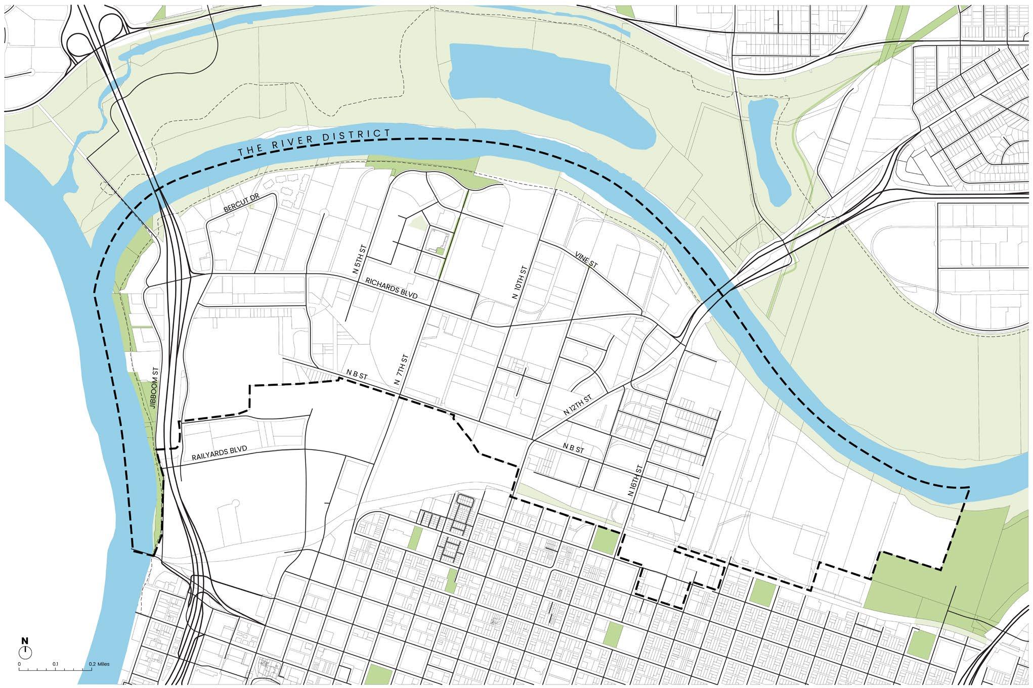
The River District Strategic Plan is intended as a supplement to the City of Sacramento 2040 General Plan and the River District Specific Plan. The Specific Plan was created in 2011, and at the time of the creation of this Strategic Plan, the City is in the early phases of updating the River District Specific Plan. The Strategic Plan is intended to capture the vision of the River District Property and Business Improvement District with the goal of informing development of the Specific Plan update.
District in its mapping of disadvantaged communities. Together, these factors place the District in the top 20% of communities in Sacramento impacted by environmental justice issues
EJ-3
EJ-5
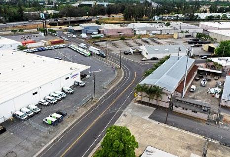
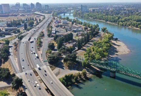
Stakeholders shared current views of the River District and where they see opportunities and constraints.
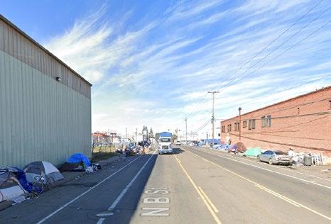
1.
Stakeholders shared their vision for the River District.
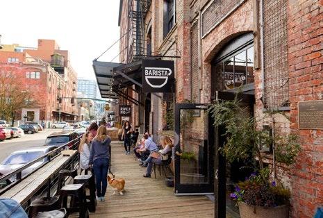
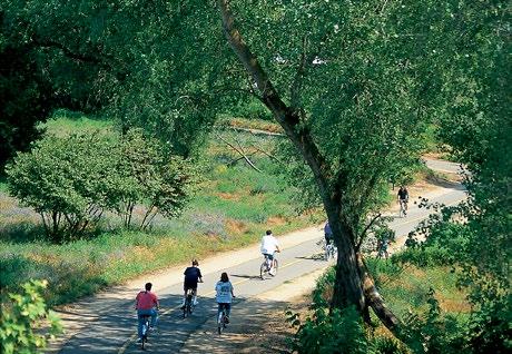
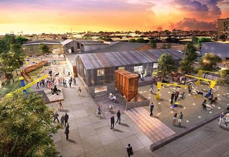
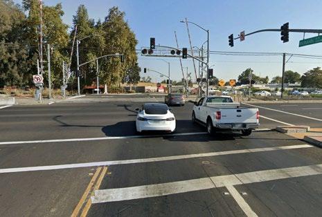
4. Roads for cars and freight, not people
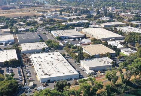
5. Need for more diverse uses including retail and residential
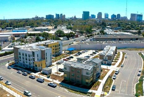
6. Residential and mixed-use momentum
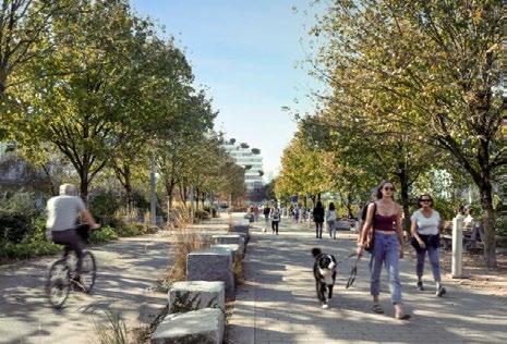
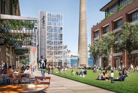
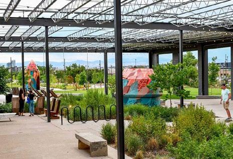
6. Places for art, events, and everyday living
Stakeholder groups included River District staff, Board of Directors, Strategic Advisory Committee, and Place Enhancement Group; and City of Sacramento staff.
The design team and stakeholders conducted bike and walking tours of the District and identified areas of concern and interest.
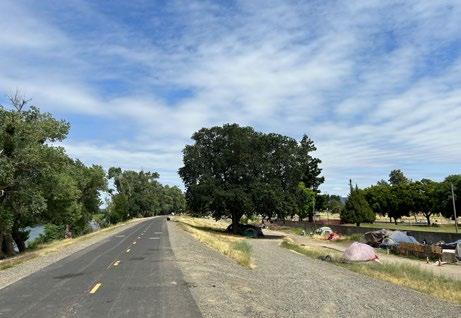
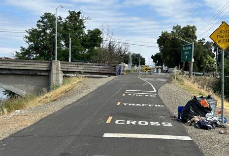
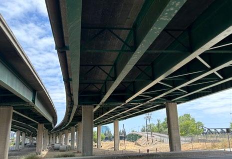
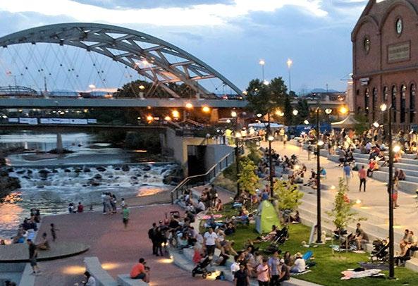
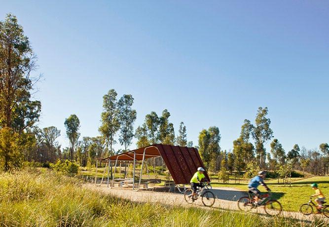
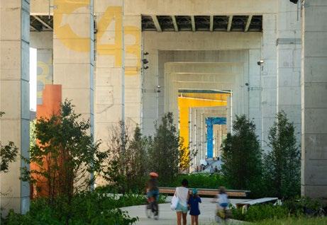
Stakeholders shared the desire to develop a vision inspired by place.
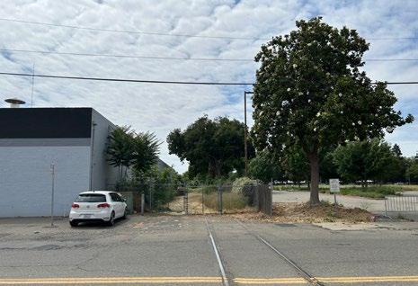
4. Abandoned rail lines cut through industrial parcels
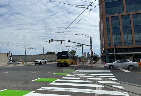
5. The crossing Richards at 7th serves many modes, but offers a wide crossing with little relief for pedestrians.
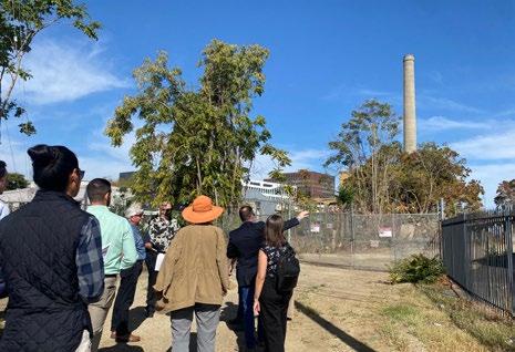
6. The abandoned City Incinerator is a historic relic and potential point of interest.
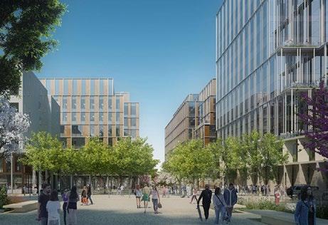
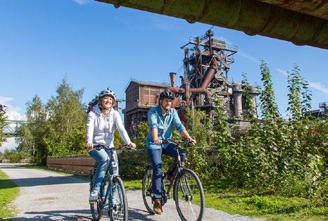
Define a cohesive VISION for the River District in 2035 that aligns with state, regional, and citywide goals.
Establish GUIDING PRINCIPLES that address existing issues and inform future decisionmaking and prioritization.
Develop a UNIQUE VISUAL IDENTITY and PUBLIC REALM CHARACTER for neighborhoods within the district.
Create a DEVELOPMENT FRAMEWORK to guide future investments.
Identify STRATEGIC WINS that can catalyze improvements for the district.
STAKEHOLDERS SAID:
STAKEHOLDERS SAID:
plan
Guiding Principles are broad goals that define the big picture direction for the future. These principles become a tool for evaluating whether future ideas or proposals are in keeping with the PBID’s vision.
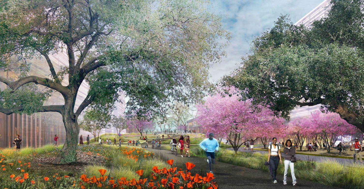
Create a network of greenways stemming from the Rivers that celebrates native ecosystems, and provides a resilient green infrastructure for development.
Develop a series of distinct neighborhoods, each with it’s own character, center, and unique mix of uses.
Encourage development that reinforces the character of each neighborhood, with appropriate building scale, height, and transitions between areas.
Focus multi-modal uses along high-volume transportation corridors while emphasizing the pedestrian experience for future residential development.
Prioritize human comfort and safety by investing in bike and pedestrian connections, high quality open spaces, and minimizing vehicles on local streets.
lunch breaks on the levee / neighbor meetups / take light rail to work / buy local art / rock climbing / grocery shopping / beer tasting / work + life / bike along the river / pick native wildflowers / MoSAC / sight seeing / eavesdrop on Aftershock / shopping / work meetings on the terrace / hanami loop / relax in the park / buy local produce / take a stroll / beers after the soccer game / basketball with friends / eat at restaurants / bird watching / kayaking / take photos of historic buildings / community gardening / play outside with family / holiday events / get my daily steps in / learn about sustainability / lunch with coworkers / community events + block parties / flea market / walk the dog / civic happenings / dinner overlooking the river ...
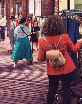
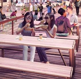
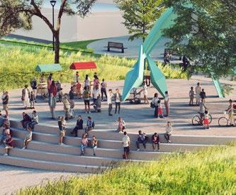
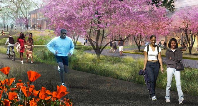
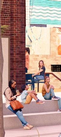
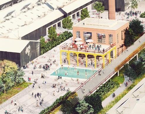
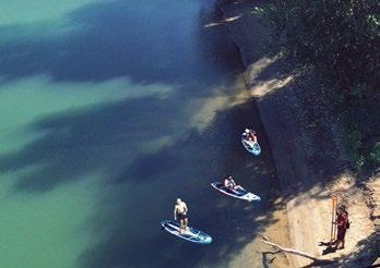
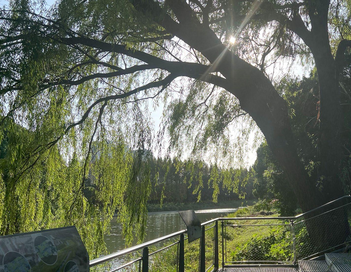
Where the rivers and the city meet
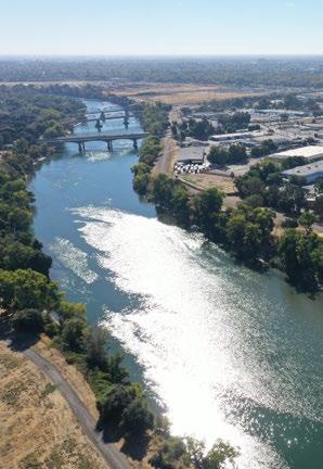
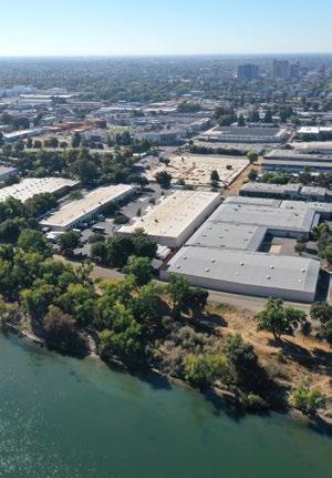
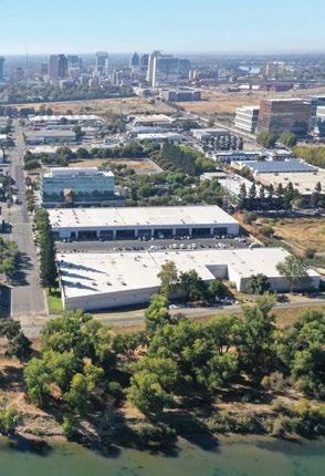
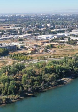
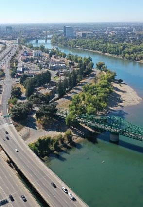
A vision that pivots growth of a massive industrial district towards Sacramento’s forgotten riverfront and adapts for maximum health and connectivity.
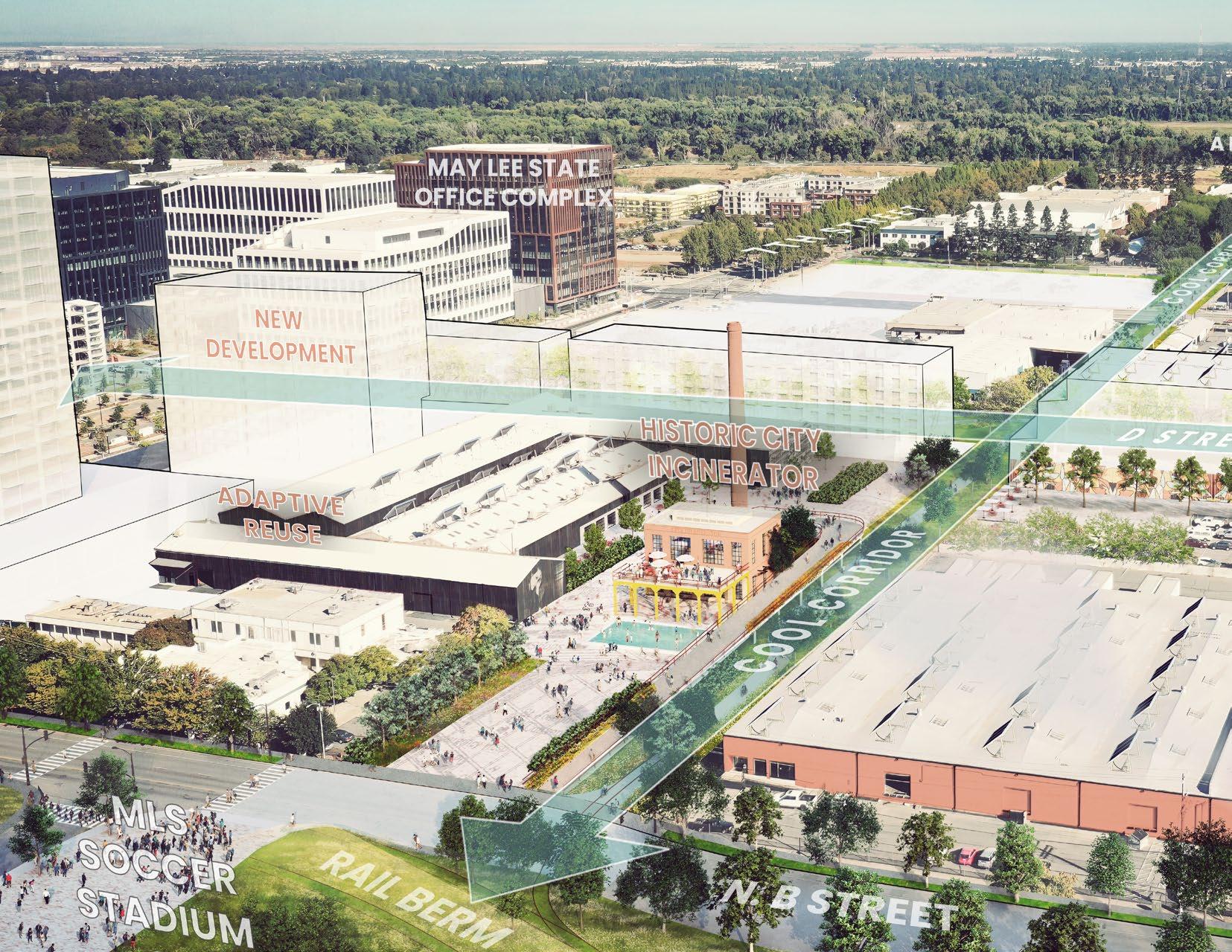
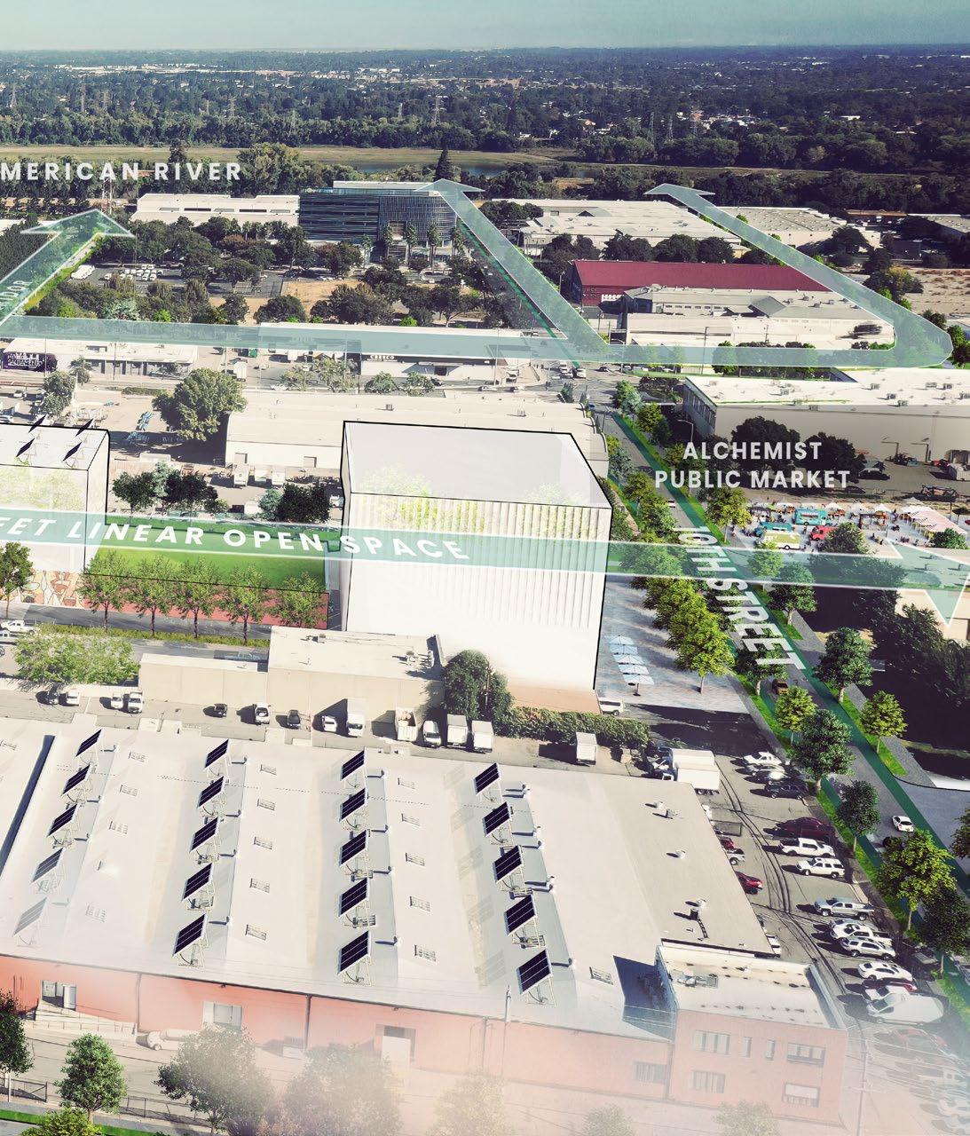
A network of greenway corridors that unite the expansive riverfront parkway with the city, supporting a healthy, distinct, and connected district. The network emphasizes sectional and perpindicular relationships with the river directing desirable views, programming, active transportation, cool breezes, and native planting from the river into the heart of the district. Existing warehouse and light industrial uses are repositioned into diverse, art-focused, and adaptive mixed-use neighborhoods.
ANALYSIS AND OBJECTIVES (CHARETTES)
POTENTIAL FOCUS AREAS (VIRTUAL TOUR)
PRIORITY FOCUS AREAS (WALKING TOUR) STRATEGIC PLAN
PLANS
SUMMARY OF GOALS, GUIDING PRINCIPLES, AND EVALUATION CRITERIA
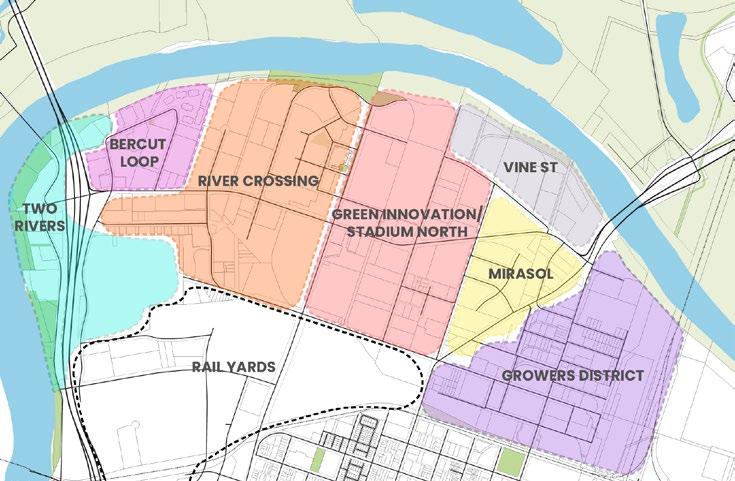
Stakeholders ranked 6 potential focus areas to identify top priorities.
Area R - the entirety of the Riverfront as a whole - was added after discussion with the stakeholder group. This area was ranked as the highest priority, reflecting the importance of the riverfront as a driver for the District’s future.
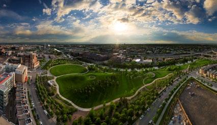
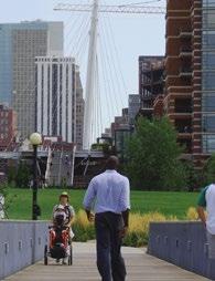
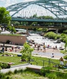
Confluence Park, Commons Park
Denver, CO
• Situated at the confluence of Cherry Creek and the South Platte River, this site marks the location where gold was discovered in 1858 leading to the founding of Denver.
• In the early part of the twentieth century, the site served as dumping grounds and was the location of an electric substation. In 1965 a massive flood scoured the river banks and washed away much of the industrial infrastructure.
• First Phase in a larger South Platte River restoration plan in association with the Greenway Foundation.
• Larger Riverfront development plan shaped by two critical infrastructure elements (park and bridge).
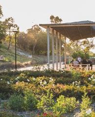
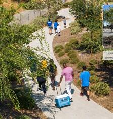
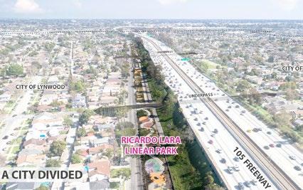
• Takes a massive freeway corridor, which has burdened the community, remedies the negative impacts by restoring a sense of community. From “Park-Poor” to a park within 15 minute walks.
• Leverages state funding (California Prop 84 funds) to take an abandoned easement to a park.
• Five block with five different park programs: Dog Park, Fitness Park, Play Park, Community Park, Eco Park (stormwater detention basin).
• Mitigates Urban Heat - 25 deg average temperature reduction in shade.
• Creates urban vitality and social spaces.
• Narrow Park with wide impacts
The north edge of the River District is pretty special because it’s got the American River across the entire north frontage. Because the river can be a threat, we have massive levees that make the river inaccessible, and all of the nature that is here is inaccessible. It’s so unique out here that when we sat down and started talking about what we could do out here, we made it its very own district called the Riverfront District. It’s got habitat - it’s a precious slice of nature close at hand to the City. Because of the levee and because it’s inaccessible, there’s hardly anybody out here. I think we need to change that. I think that it’s possible for us to design access that’s light on the land, and to bring more people down here.
I think it’s up to us to imagine a place where we can hike, bike, and even kayak on the river. We can design that, and make it accessible and safe, but carefully with a light footprint. Denver and Austin have riverwalks – great cities do that! And we can do that out here. This riverfront is such a special place, it’s a shame that more people don’t know about it. It should be an important part of daily life, not just for people in the River District but also for visitors, who we can bring here, to show them what we’ve got going on.
-Greta Lacin, River District Board Immediate PastPresident
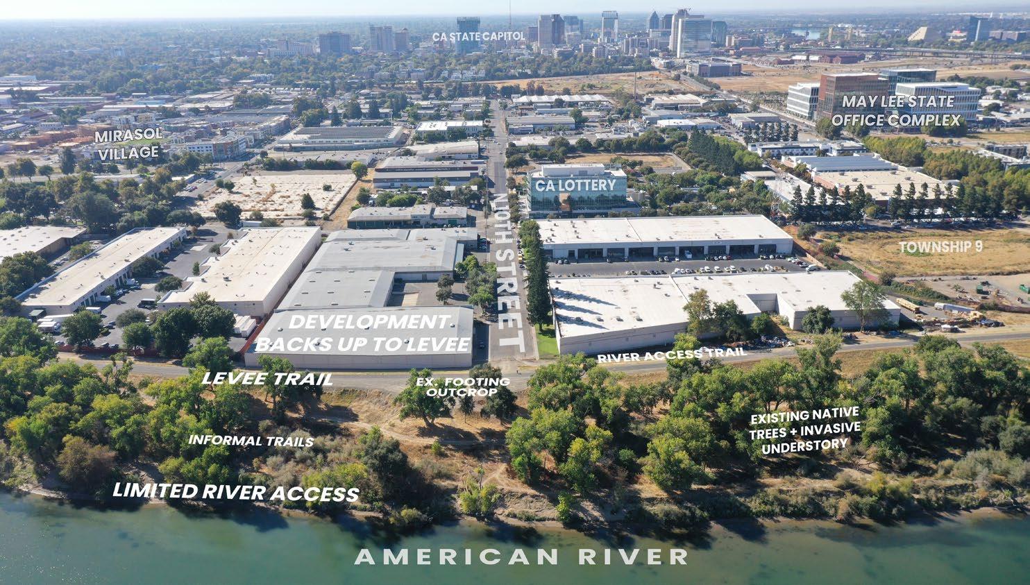


Note: The General Plan requires a 50’ setback between the current toe of levee and adjacent developement. The 2011 Specific Plan identifies that this 50’ Transition Zone may include a new road (Riverfront Drive) between the top of levee and adjacent development, pushing adjacent development further away from the river. The Riverfront Drive is felt to be undesirable by stakeholders today.
Making a concerted effort to revitalize the riverfront will get the attention of people all over the region.
Stakeholders said:
is the top priority to promote a positive new identity for the River District
This activation strongly suggests to me that the road needs to be connected to 10th St via a bike/ped bridge over the railroad tracks. 10th could become a N/S equivalent of Capitol Mall.
The 5,000 state workers soon to occupy the district will need places like this as lunch and after work destinations.
It’s a great concept that will require cooperation of several agencies but worth the effort to make it happen.
This is a great way to “RECLAIM” THE RIVERFRONT
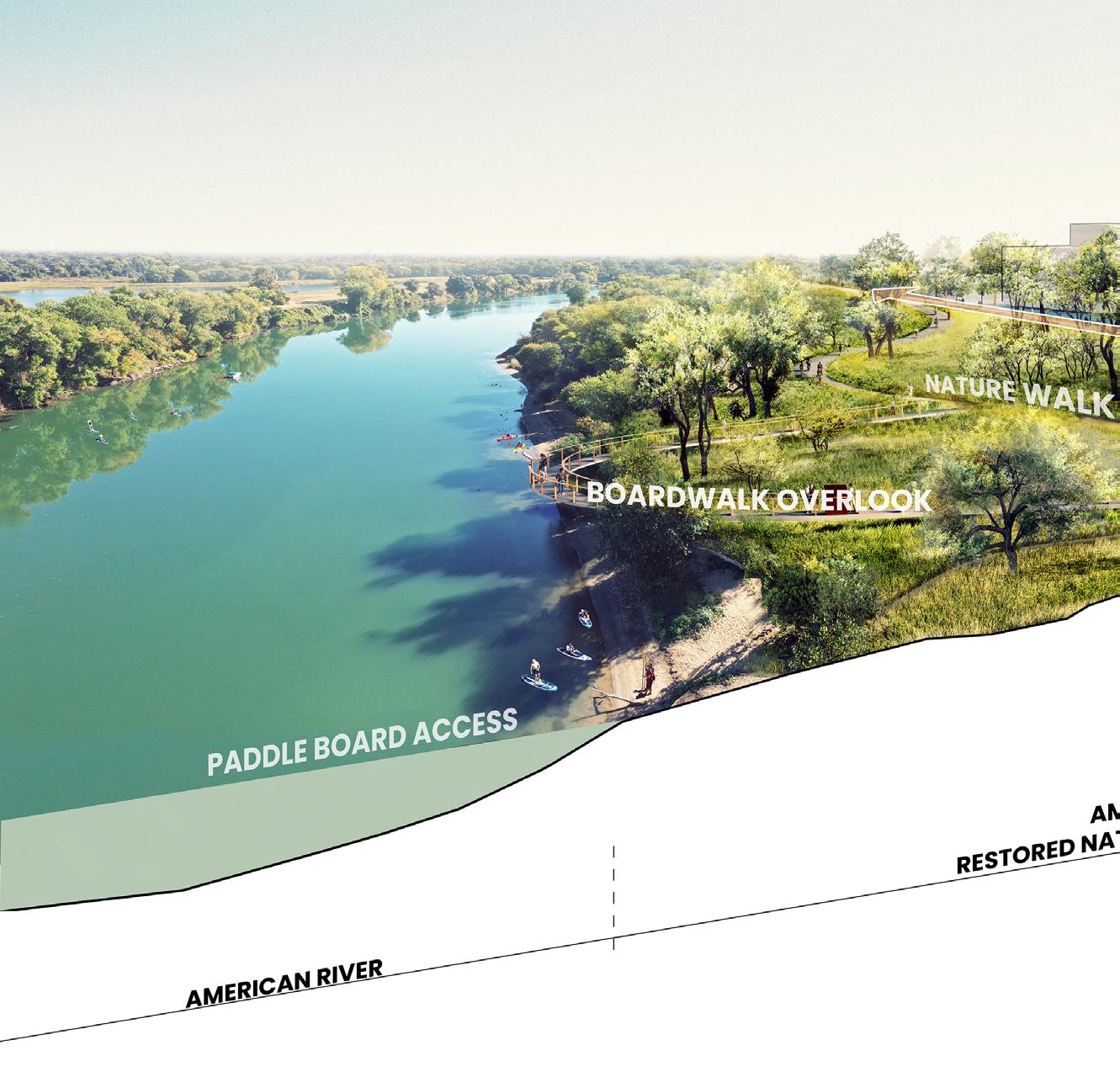
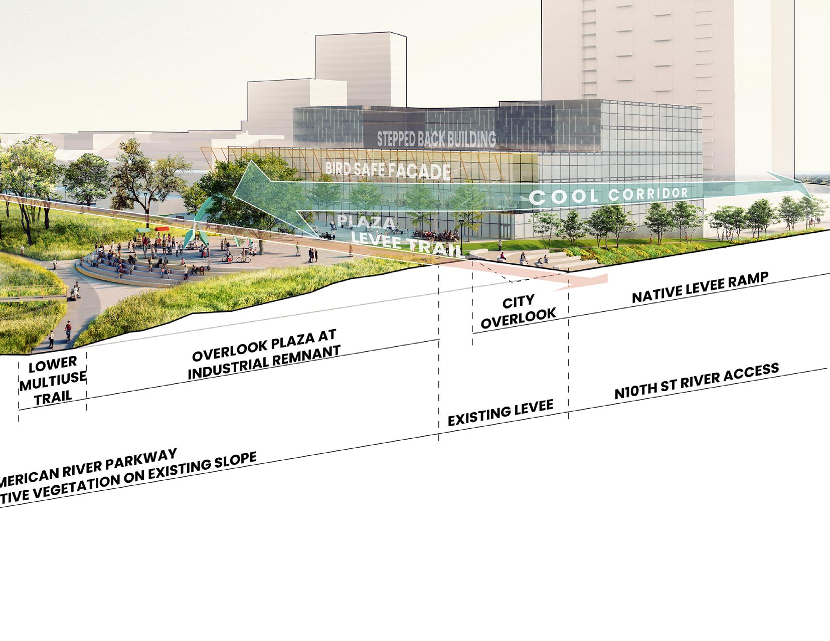
Note: Landscape on the City side of the levee should require native plants, and no invasive species that could cross over into the riparian habitat.
In alignment with the American River Parkway Plan, development adjacent to the river should to only serve to make the riverfront more vibrant and activated, but should be designed to minimize the visual impact on the American River corridor, and the ecological impact on the native habitat. Riverfront development should implement the following strategies:
• Bird-safe windows include fritting patterns in glass that prevent bird collisions. These small patterns in the glass don’t obscure human vision but are recognizable to birds.
• Buildings that step back from the river maintain the scale and natural character of the riverfront.
• Terraces and green roofs along the riverfront create visual connection to the river, provide visual interest to people on the levee trail, and increase green infrastructure in the district. Because these terraces occupy upper floors, they can offer a vantage point above the levee and a direct visual connection to the water not available at ground level.
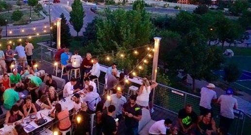


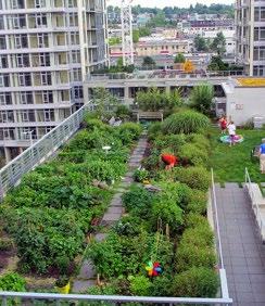
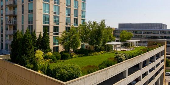
MORE OPPORTUNITIES ON THE RIVERFRONT FOR ACCESS WITH DIVERSE PROGRAMMING
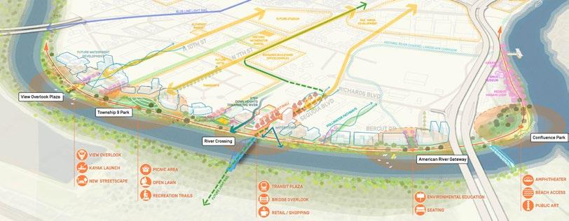
EXTEND THE RIVER’S INFLUENCE WITH COOL CORRIDORS AND NATIVE GREENWAYS FOR A HEALTHY DISTRICT
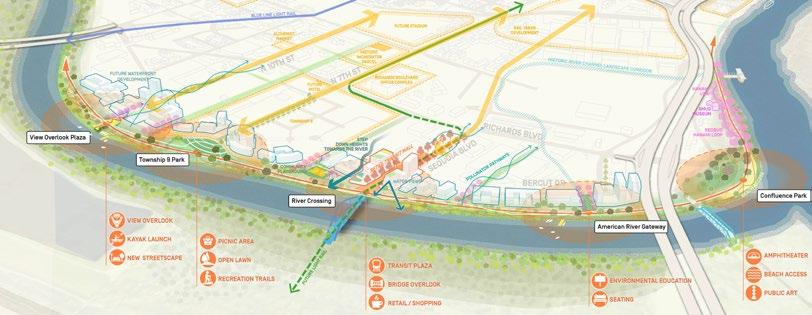
ENCOURAGE NEW DEVELOPMENT AT THE RIVER ACCESS POINTS THAT RESPECTS AND ENGAGES WITH THE RIVER
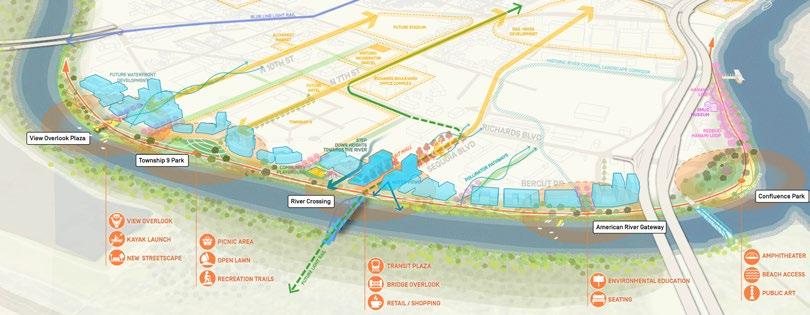
I’m a cyclist and within 5-10 minutes, I’m outside the urban or suburban setting where I live, and I’m in nature and it’s beautiful. With the exception of turkeys, I see unique animals that I don’t see anywhere else. It’s also a place where I see my community. I love that – I love to see people out in this environment. It’s also gives us an opportunity to access this environment, and I think that’s something we can improve on with the work here in the River District. We can have art in public places along the waterway, we can have innovative signs that connect the River District to its environment. Producing small festivals and events is another area where we can capitalize on the beauty and intersection of our two rivers. It’s precious, and the only district that has it is the River District, and we can make the most of it.
-Ryan Loofbourrow, River District Board President
The American River Parkway Plan guides land use decisions and improvements within the American River Corridor. The Plan is adopted by the County of Sacramento as an element of the General Plan, and referenced by the City of Sacramento General Plan.
The Plan notes that the portion of the parkway adjacent to the Downtown core is unique, and states that “Protection of the Parkway’s aesthetic values in this reach should be accomplished within the context of creating a vital urban area. Development immediately adjacent to the Parkway shall respect the intent of the Parkway goals by reducing visual impacts through context sensitive site planning and building design.”
Stakeholders said: the Riverfront area has the
to bring a new vision for the River District SHORT TERM
I would want to live here
Creating an IDENTIFIABLE ICON with landscaping is a great idea.
I love the connection with the River. This is what makes the district and unique in the region.
Great vision. My questions lie in implementation.
Love the RIVER-IN approach
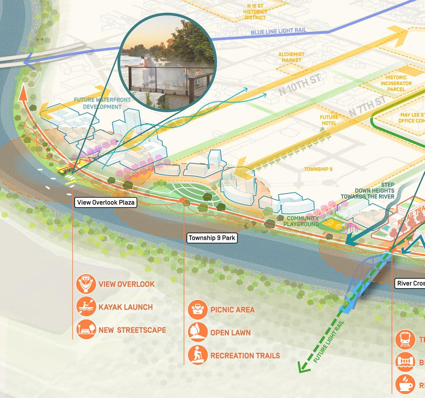
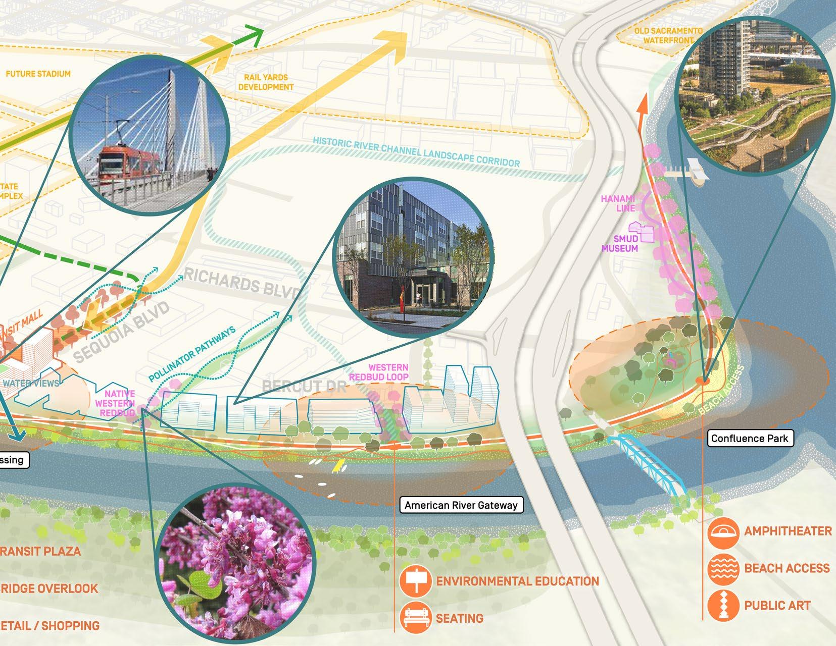
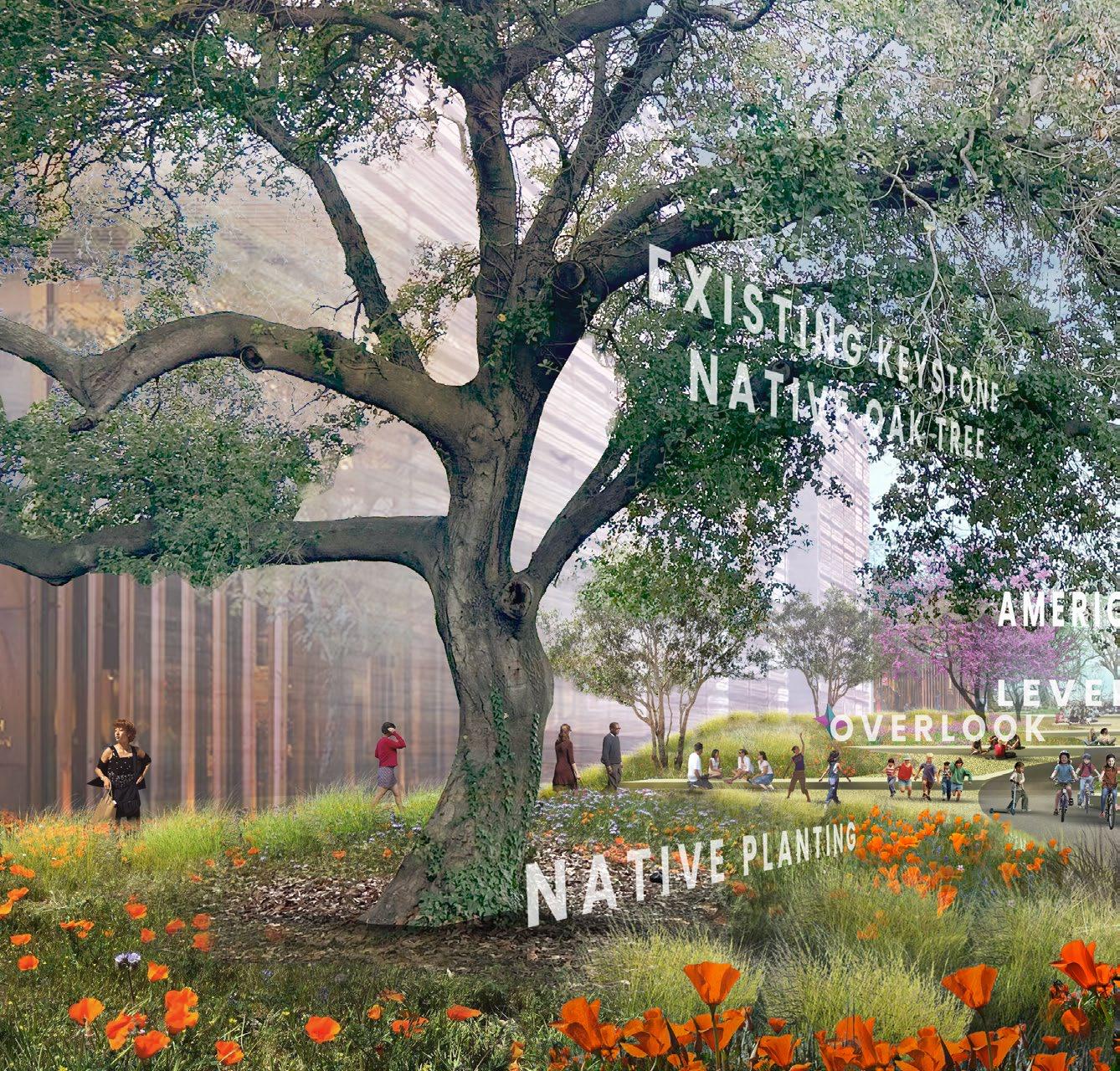
The river is a cooling environment, which provides a lot of breezes. We have the idea of making Cool Corridors that will bring those breezes right into the Downtown area. We can design a landscape around those that will incorporate some of our native plants, including the native Western Redbud and wildflowers, to create a place that people will stroll and bike, and bring their families and visitors from out of town. This could be something that distinguishes us.
-Greta Lacin, River District
Immediate Past-President
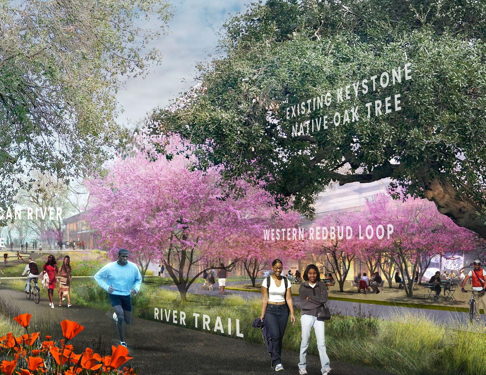
OLD RIVER CHANNEL WAYFINDING
10TH STREET BIKE/ PED OVERPASS
D STREET LINEAR OPEN SPACE CORRIDOR
UPRR UNDERPASS IMPROVEMENTS
NORTHERN BIKEWAY


Green belts, with native plants and trees, along the rail lines have potential to connect pedestrians to the river and also connect the river to neighborhoods with native plants and tees. Also helps to increase the tree canopy.
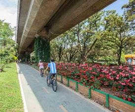
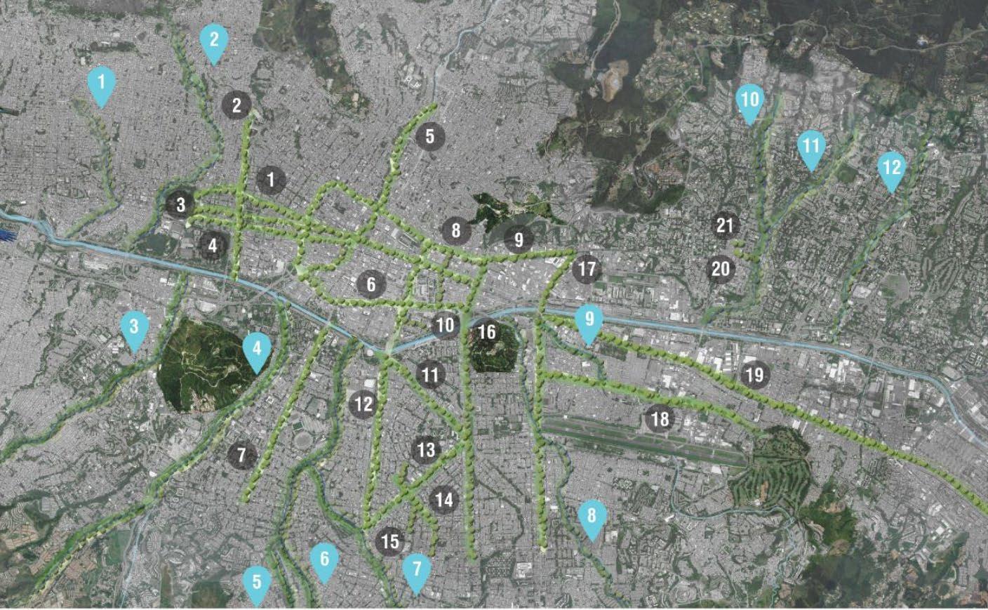
• After rapid urban expansion, the city of Medellín, Colombia’s second largest city, experienced a severe heat island effect. In 2016, the City funded an initiative to create 30 interconnected Green Corridors which total over 70 hectares of green space and 20 km of shaded routes.
• The corridors are planted with a layered plant community of large trees, understory trees, and native plants.
• In addition, green roofs and vertical gardens cool infrastructure.
• Medellín’s temperatures fell by 2°C in the first three years of the program, and are expected to fall by another 4-5°C over the coming decades.
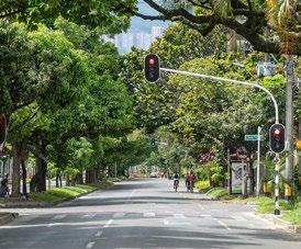
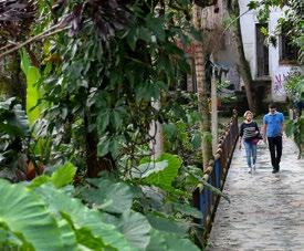
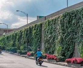
Denver, CO
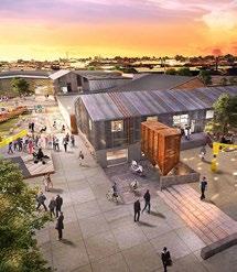
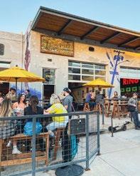
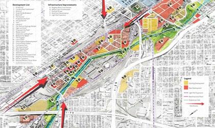
• Reposition of warehouse/light industrial district into arts-focused mixed use district, led by district framework.
• Adjacent to other high profile industrial transformation districts: Class A Office-focused Union Station Neighborhood, and a sports-anchored Ballpark area.
• GID, BID and Arts District all work together to coordinate public improvements and preserve role of art and artists within the district.
• Development includes adaptive reuse that maintains character and affordability, and large ground-up projects that support new uses and bring revenue to the district.
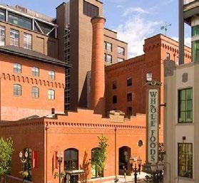
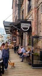
Portland, OR
• 200-block district serving as the center of a New Urbanism, focusing on mixed use, walkability, diversity, and conservation
• Historically, railroad activity defined the district until the recent conversion of warehouses and industrial site into adaptive mixed use projects and urban parks: the early introduction of the “Brewery Blocks”
• Government and local businesses sponsored the River District Urban Renewal Plan of the 1990s transforming the district into an eclectic community of complete streets, affordable housing initiatives, historic landmarks, and modern development projects.
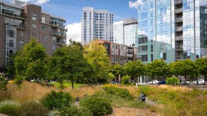
A lot of the younger people, as well as empty nesters, are looking to live in dense urban environments. We have seen success in other parts of Sacramento like R Street, which is a good example. We want to continue that trend and keep in mind sustainability, decarbonization, and inclusion. We want this to be a place that anybody can feel free to call home.
-Devin
Strecker,
River District Executive Director
One of the things that attracted us to the area for Alchemist Public Market is that the developments that are coming will have thousands of new residents and thousands of state office workers as well as other office workers, all within about a 10-minute walk. We’re 10 minutes from four different light rail stations. But the big question is whether people will be able to get from those places to the Public Market. It’s great to have that proximity but if there aren’t safe and clear paths to get there that could be a psychological barrier and a physical barrier to some extent. If sidewalks are missing, it becomes much more hostile for people to be able to take advantage of the offerings. Connectivity is absolutely key if we don’t want to have to invest heavily into parking structures and parking lots.
-Sam Greenlee, Alchemist CDC, River District Board Member
River District has several really promising developments planned.
IS KEY.
There is so much potential here!
I like the idea of using the rail lines to make new greenbelts. How do we make it happen?
I like that this doesn’t damage the ability of current industrial businesses to continue doing business, but it invites upzoning.
The River District should definitely view itself as forward-looking and innovative.
So smart to break up the super-block, create active transit paths, bring in greenery, and cultivate connectivity.
Images of current projects, events, and notable locations within the River District.
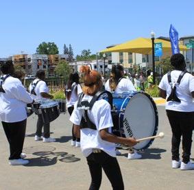
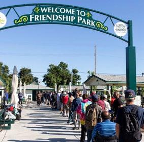
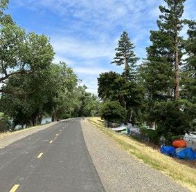
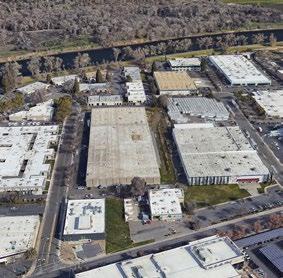
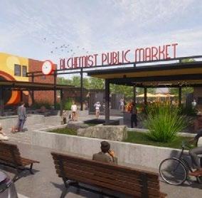
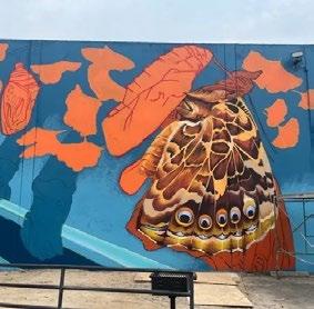
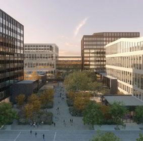
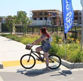
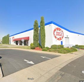
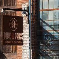
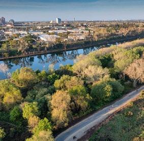
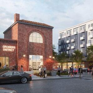
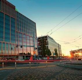
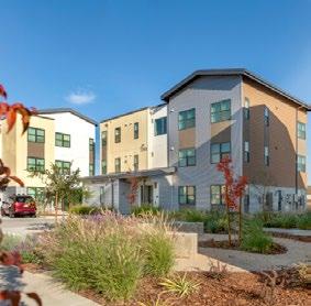
The River District sits on a large piece of acreage – 850 acres. We went through a Strategic Process that really opened my eyes. I tend to look at the River District as light industrial – all 850 acres. In truth, it’s really made up of unique neighborhoods. We recognize that, and we really want to build on that reality. One of those is the Green Innovation District. We’re fortunate because the State has built the Lottery Building and the May Lee Office Complex, and all of those have bold standards for environmental construction. We want that for California, and we want that right here in the River District. On a different scale, we have the Alchemist Public Market that brings together two of the things I love about Sacramento – innovative entrepreneurship, and farm-to-fork, all in one space. Its goal is to create an incubator program for entrepreneurs and creatives who want to work in the food service space, but lack the resources they need. In this space, they’ll get that. In the Green Innovation district, you see the growth that is happening, where workers of the state office building may visit the public market. At the public market, we have local innovators who are being brought up into an industry they can thrive in. Next to them, we have a mixed-income neighborhood of Mirasol Village, and all ages are there. We want to make sure they’re connected to community – not just within the River District but outside. We have the light rail station in that neighborhood which will break ground on the Dos Rios site at the end of this year. Those are all the integrations of these neighborhoods. What we aspire to, and what the Strategic Plan looks at, how we develop the neighborhoods so that they complement each other to create greater connectivity, and complements the Central City that its located in.
-Ryan Loofbourrow, River District Board President
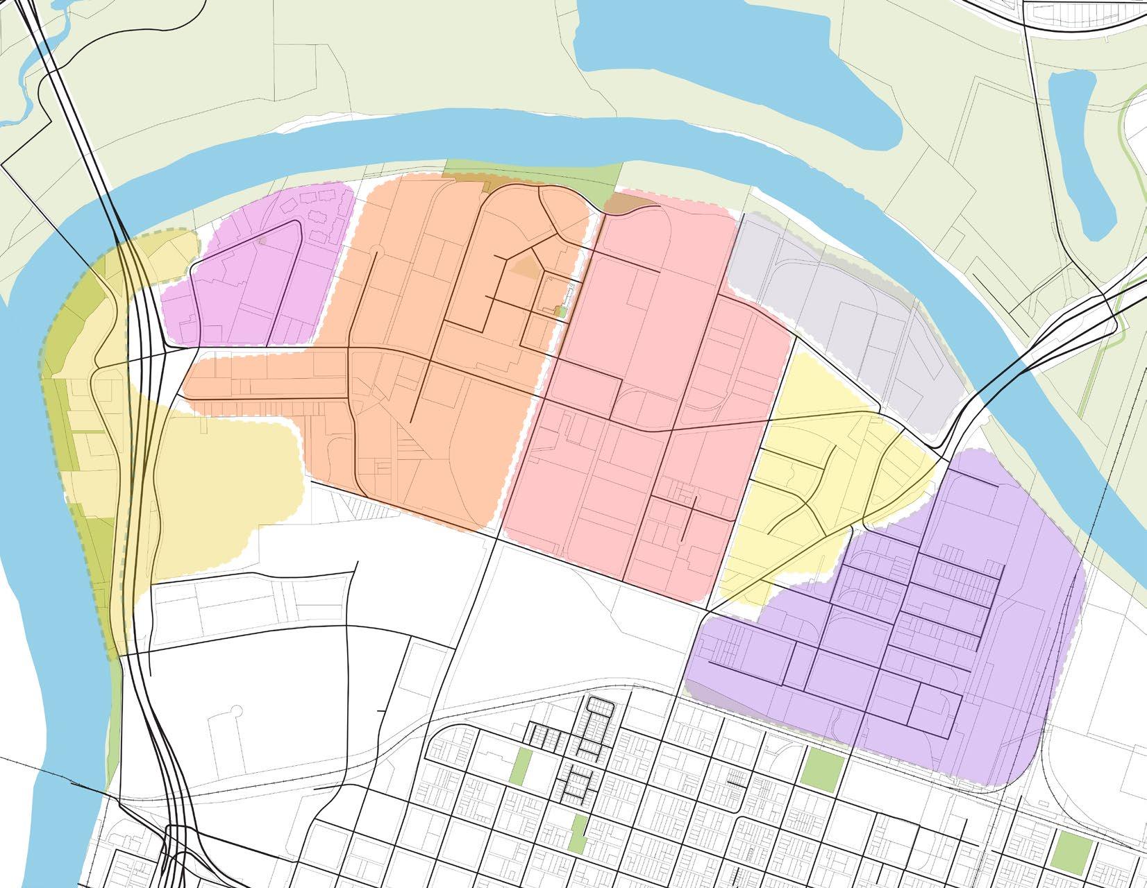
• Serve as a main gateway to Sacramento
• Emphasize gateway with iconic residential tower that activates the area
• Create a resilient landscaped waterfront edge with arts & scienceoriented programming that reinforces MoSAC
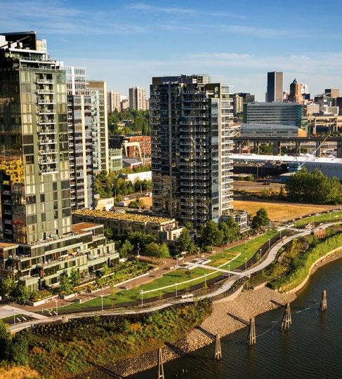
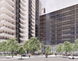
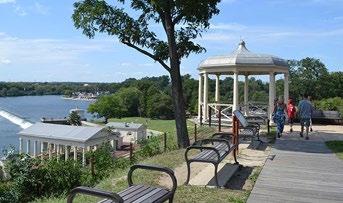
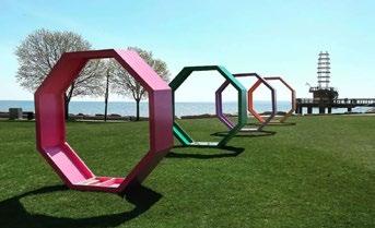
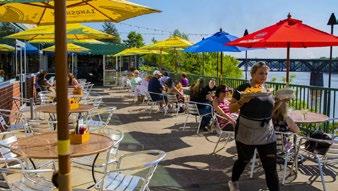
• Emphasize the existing tree canopy,waterfront access, and smaller scale buildings
• Encourage smaller businesses that balance larger tenants in other neighborhoods
• Support mix of flex office, small scale manufacturing, and low-rise residential
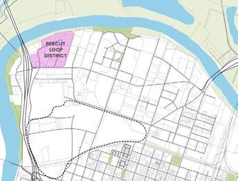
• Create a grand moment at the future light rail river crossing
• Transition from smallscale Bercut to larger scale Railyards
• More residential on the north side and commercial on the south side of Richards Blvd
• Prioritize removal of the railroad berm at the southern end of the neighborhood to increase connectivity to the Railyards and Downtown Sacramento.
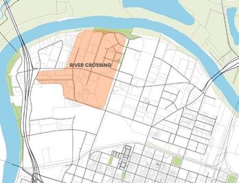
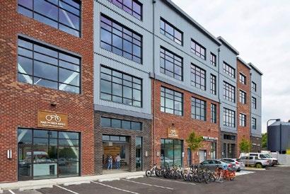

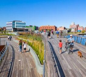
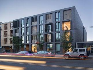
• Encourage a low-carbon district on large parcels as they redevelop
• Mid-rise residential and commercial mix anchored by a revitalized historic landmark incinerator building
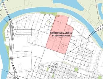
• Insert a network of pedestrian-focused paths and connections with greenery and open space, capitalizing on the proximity to the proposed Railyards soccer stadium.
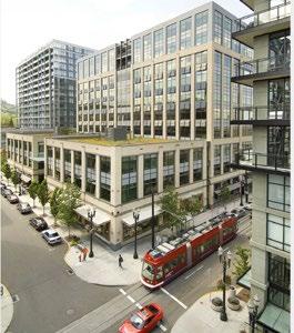
• Actively engages the American River with roof terraces, sensitive steppedback building massing, and bike/pedestrian connections.
• 10th St N becomes an important visual and physical connection to the American River with a landscaped plaza or other open space.
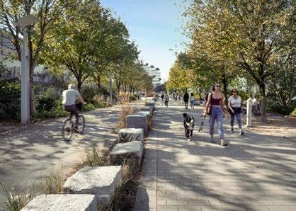
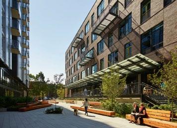
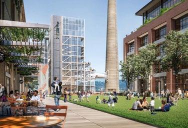
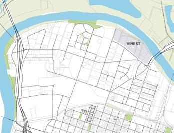
• New development includes adaptive reuse of warehouse buildings and mid-rise mixed use.
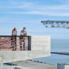
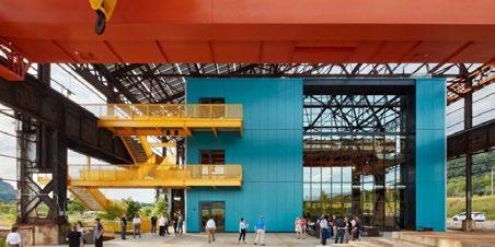
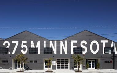
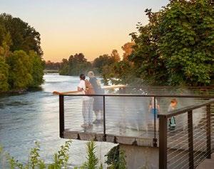
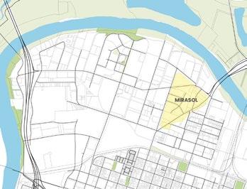
• Primarily residential district that reinforces the character of Mirasol Village
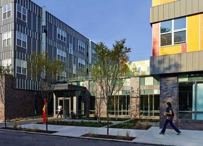
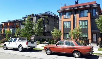
• Introduce mews and other intimate paths and open spaces that support smaller scale development
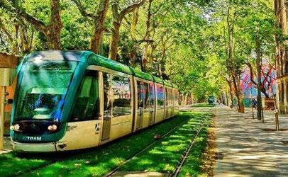
• Envision N 12th as a mixed use corridor with a new station
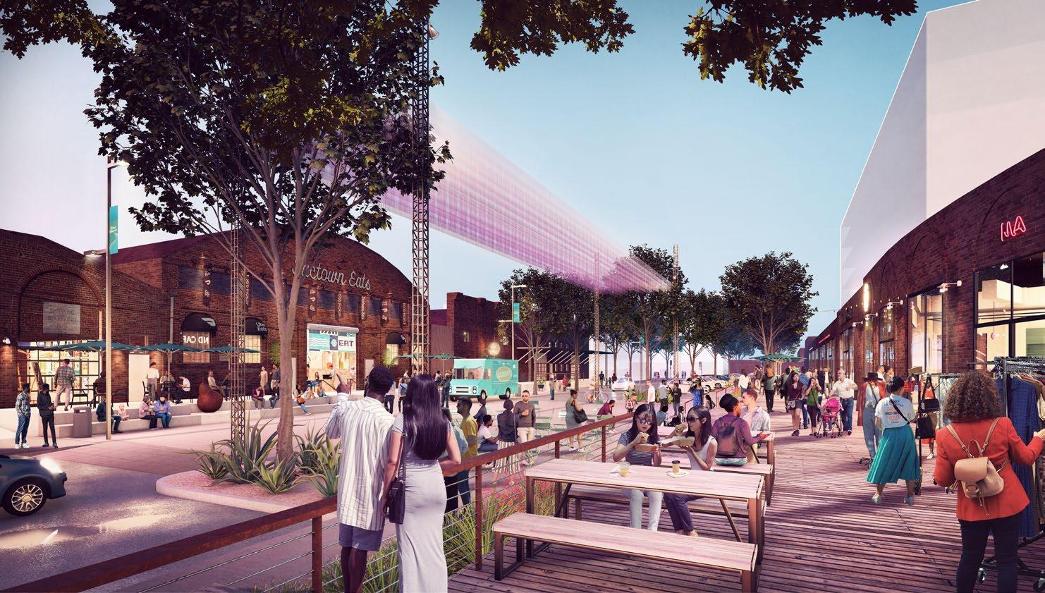
• Lean into the historic brick warehouse character of the district
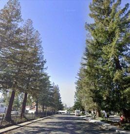
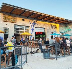
• Introduce trees and streetscape improvements that can support street fairs and other public events on minor roads
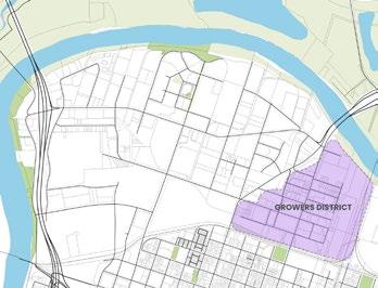
• N. 16th Street continues transformation from a commercial district to a mixed-use district including vertical residential/commercial mixed use, adaptive reuse of former industrial space for creative and commercial uses, and ongoing industrial uses. Increase accessibility onto N. 16th for pedestrians and bicyclists (Refer to N. 16th Street Streetscape Plan,2017). To further improve connectivity, tie in to the bike trail east of N. 12th Street.
Washington, D.C.
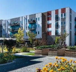
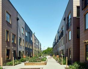
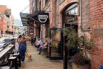
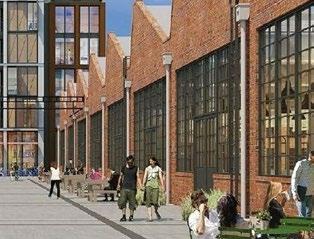
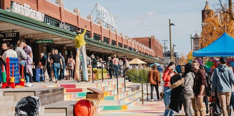
• Revitalization of a once-abandoned industrial center north of Union Station into a mixed-use arts, entertainment, and media district.
• Union Market is one of the many renewal projects that creates a citywide destination bridged by improved public transport initiatives in light rail lines and pedestrian friendly corridors.
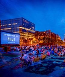
• District funding from special assessment collections of local property owners through the NoMa BID informs initiatives set by an ongoing strategic plan.
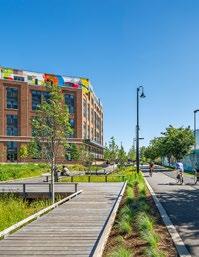
• Continued development includes the new construction of mixed use, office, retail, and residential spaces such as Burnham Place: a 3 million SF project directly above Union Station’s railyard.
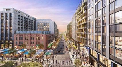
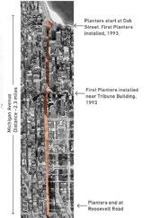
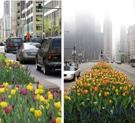
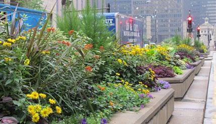
Michigan Avenue Streetscape
Chicago, IL
• Since 1993, a unifying and bold strip of beautiful landscape has run down the median of Chicago’s Magnificent Mile. It spans the 33 blocks (2.3 miles).
• Three different displays are carefully planned and installed annually so as to remain seasonally appropriate.
• City funded the initial median planters. Retailers and property owners donate $200,000 per year for 20 years of maintenance (North part). City funds south of river at $20.40 per SF for 3 rotations per year.
• Straight forward concrete planters to house median landscapes, protection plans from sun, traffic and pollutants.
• Height and densities considered for each planter so that traffic and views to stores are left unobstructed.
North 16th Street is a thoroughfare that runs straight through the city and the River District. If you go a quarter mile south on 16th from the River District, you’re in the heart of the city in Midtown, and not far from there you’re at the Capitol. The difference is those areas have bike lanes, pedestrian walking areas, and shared transportation – it’s a lot easier to get around, and we see that continuing up 16th street a quarter mile. By doing so, by allowing bike lanes and the light rail station at Dos Rios, we believe we can connect North 16th to it’s southern neighbor pretty seamlessly and by doing so create parks and places for people to be outside, to get around easily to and from, get their groceries, jump on light rail, jump on a bike and get around. By doing so and activating the place, it becomes so much more appealing to live, work, and play in.
-Josh Kohlenbrener, Bauen Capital, River District Board Member
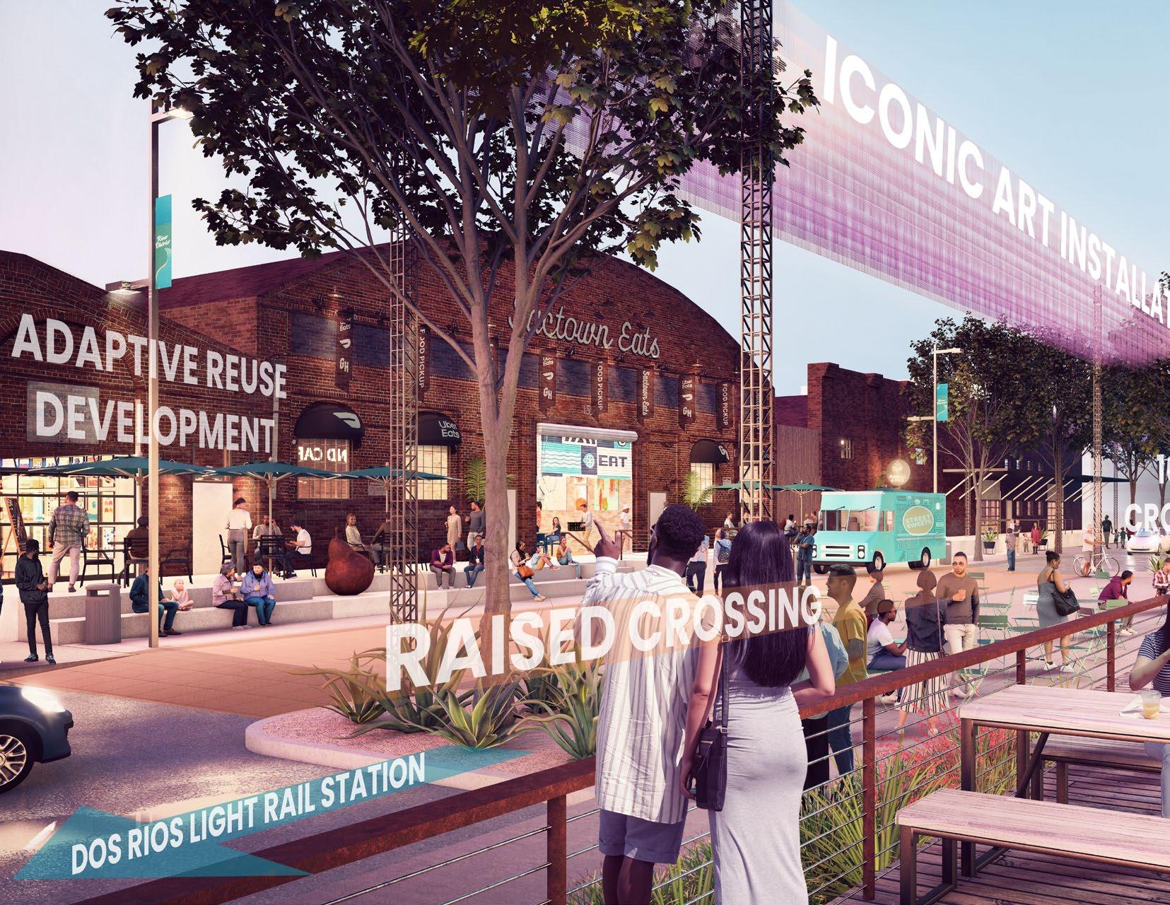
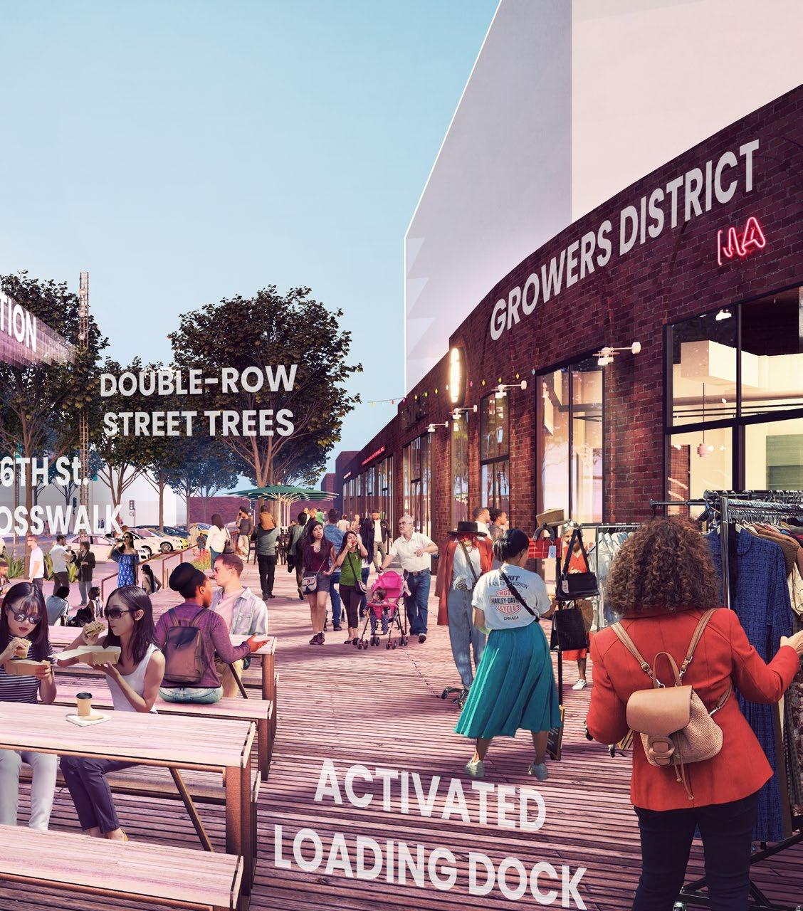
Stakeholders said: the N 16th Street/Growers District area has the
to bring a new vision for the River District
Love the PEDESTRIAN FOCUS again. I wonder how to accommodate trucking needs for existing industrial businesses.
A RAISED PEDESTRIAN CROSSING over 12th at D would be great.
The new uses really are people-focused and people-facing. Commercial, arts-districts, restaurants, residential, more activity and activation, and things that embrace an outdoor lifestyle by the River and embrace the old historical uses, but with a new flavor.
-Josh
Kohlenbrener on the Growers District
Bollards would be helpful with partial street closures.
This concept probably has the greatest feasibility out of everything presented this morning. It should receive the most attention.
10TH STREET BIKE/ PED OVERPASS
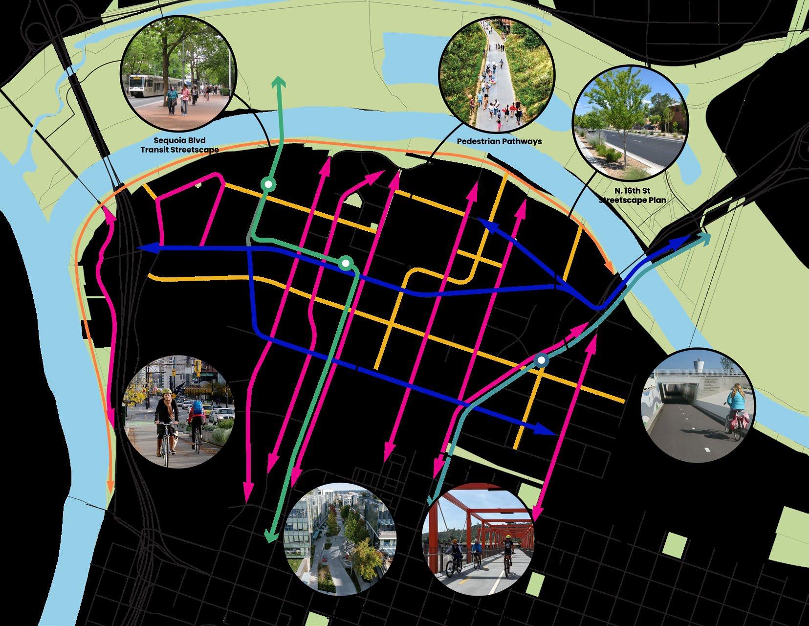
BIKE CONNECTIONS INSET, SEE RIGHT
UPRR UNDERPASS IMPROVEMENTS
Connectivity, in general, has been a challenge for the River District. When we look at public transportation and vehicle transportation, which tends to be high-speed going to and fro in the District, but bike transportation is really key. I think that great districts have great transportation on all fronts, but you know you’re successful when you see people riding their bikes or walking into your district. One of the challenges is at Hwy 160. There’s a disconnect on the bike trail, and we want to make sure that connects at Sutter’s Landing. We’re going to be pressing hard on these issues about transportation and connectivity because it is imperative that this district be connected not only internally, but also externally to the Central City and the greater Sacramento area.
-Ryan Loofbourrow, River District Board President
UPRR UNDERPASS IMPROVEMENTS BIKE TRAIL DISCONNECT AT HWY 160

There is a major bicycle facility disconnect at the east end of the Two Rivers trail. The existing bridge abutments at Hwy 160 will make a future trail connection difficult, though future extensions of the Two Rivers Trail to the east of the Hwy 160 crossing are planned (Phase III). The ultimate goal is to connect the American River Bike Trail, which does not currently cross Hwy 160, so that bikes can cross and join the planned trail link at Sutter’s Landing Park.
Currently there is no clear bicycle connection from the Two Rivers Trail to the Sacramento Northern Bikeway, which connects to the American River Bike Trail. In light of the difficult condition at Hwy 160, several options for connectivity through the River District are discussed below.
Basler Street:
• Requires bikers to backtrack slightly on N 18th St to connect to on/off ramp to Northern Bikeway connector.
• Basler Street is largely residential
• Would require a signaled crossing on N 16th St to cross to Sproule
• Sproule has telephone poles on the north side of the street and a sidewalk on the south side, which may make it difficult to add bike lanes.
• Connects across N 12th St at future light rail station to existing separated bike lanes on Sunbeam.
Dreher Street:
• Most direct connection to the on/off ramp to the Northern Bikeway connector at the end of Dreher.
• Capitol Casino is located at the corner of Dreher and N 16th. There is both auto and pedestrian traffic on that end of the street.
BICYCLE FACILITIES LEGEND
Existing Bike Trail
Planned Bike Trail
Existing On-Street Bike Lane
Planned On-Street Bike Lane
Potential Bike Connection
Notes:
UPRR underpass improvements will require coordinate with road authority and with UPRR. Future feasibility studies for this project should include UPRR, CA Public Utilities Commission, and the road authority as stakeholders.
The Sacramento Northern Bikeway is a City easement on UPRR property.
• Would require a signaled crossing on N 16th Street to cross to McCormack.
• Relies on future N/S bike lane on Ahern St.
N C Street:
• Connects to the on/off ramp to the Northern Bikeway connector
• Would require a signaled crossing on N 16th Street.
• Currently blocked at the west end at N 12th.
• Light rail track along N. 12th would also block access to that street.
• Relies on future N/S bike lane on Ahern St.
N 16th Street
• The feasibility of converting N 16th Street and N 12th Street to twoway streets should be studied.
• In all of the above scenarios, additional signalized crossings are needed on N 16th Street.
