
Brandywine Flood Study Technical Compendium Section 10
Stormwater Infrastructure Assessments
April 2025
PREPARED BY Brandywine Conservancy Chester County Water Resources Authority University of Delaware Water Resources Center

Section 10 Stormwater Infrastructure Assessments
Technical Memo by Geodesy, Inc.
The Flood Study partners completed an inventory and analysis of existing surficial stormwater infrastructure (i.e., detention basins and retention ponds) in the Brandywine watershed by Geodesy, Inc. This effort included preliminary assessments of potential candidate sites for restoration or upgrades. This section includes the technical memo provided by Geodesy, Inc. documenting the methodology and results of this work.
GEODESY, INC.
Geo-spatial Information Services
Chester County Water Resources Authority 601 Westtown Road, Suite 260 West Chester, PA 19380-0990
Attention: Seung Ah Byun, PhD, P.E.
December 12, 2024
Chester County Water Resources Authority (CCWRA) has requested Geographic Information Systems (GIS) support to compile stormwater infrastructure geospatial data for the Brandywine Creek watershed to support the Brandywine Flood Study as well as the PA Act 167 Stormwater Management Plan update. Understanding the current state of local stormwater management including existing infrastructure is a critical component to the development of flood mitigation strategies.
Stormwater infrastructure includes features such as stormwater Best Management Practices (BMPs) including detention basins, wet ponds, and infiltration facilities, stormwater inlets, pipes, and outfalls. These features capture and convey stormwater to control facilities (BMPs) before its release to surface waters throughout the drainage area. Stormwater infrastructure is typically constructed during land development and is regulated by U.S. EPA, and PADEP. However, local municipalities have the final say as to what is constructed within their jurisdiction and how stormwater is managed. Local municipalities are required to identify and map their stormwater facilities as part of the PADEP Municipal Separate Storm Sewer System (MS4), however, there is not a single sourced compilation of stormwater infrastructure spatial data layers covering the entire County.
The purpose of this task is to compile a complete geo-spatial database of stormwater infrastructure, specifically detention and retention basins within the Brandywine Watershed.
METHODS -
Beginning with the following assumptions:
•
•
Chester County GIS department has complied stormwater infrastructure data over the years as part of the municipal GIS Consortium program. CCWRA will add to this data and fill in data gaps where municipalities did not participate in the Consortium with the goal of having a complete spatial layer of stormwater basins in the Brandywine watershed. Several municipalities may have participated in the Consortium but have not allowed their data to be posted in the County GIS web map. Other municipalities did not participate in the GIS Consortium and assigned the stormwater mapping requirements to their municipal engineers or consultants.
GEODESY, Inc. requested data from the municipalities on behalf of CCWRA. If stormwater basin data was not available from the County or municipalities, then a desktop method was used to digitize stormwater basin features using the most current aerial photography available with the aid of 2-ft. topographic contours derived from Light Detection and Ranging (LIDAR) and Digital Elevation Models (DEMs).
Data compiled from CCGIS, and municipalities, will be checked for accuracy and currency using the same desktop approach.
Basin geometry layers were merged from the existing sources and an attribute table was built to provide consistent feature values for future spatial analysis. Several municipalities had no data, so the desktop method was used to fill in those data gaps.
The desktop method was developed using PAMAP LIDAR DEM data. These data sets were downloaded for the Pennsylvania Spatial Data Access (PADSA) which is Pennsylvania’s
GEODESY, INC.
Geo-spatial Information Services
official open geospatial data portal. DEM data were downloaded as County mosaics, including Chester and Delaware Counties. To include the State of Delaware, an additional elevation mosaic was acquired which represents the entire Brandywine watershed. This data set was compiled by the Delaware Geological Survey.
DEM data is derived from LIDAR, which is a remote sensing technology that uses a laser to measure distances and create detailed 3D models of the Earth's surface. LIDAR works by sending out pulses of light and measuring how long it takes for the reflected light to return to the source. LIDAR data can be filtered to only show ground surface elevations which are extracted to a uniform grid pattern (typically a 1 meter by 1 meter grid) or DEM.
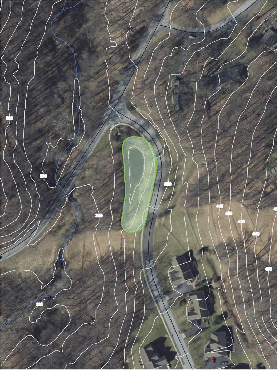
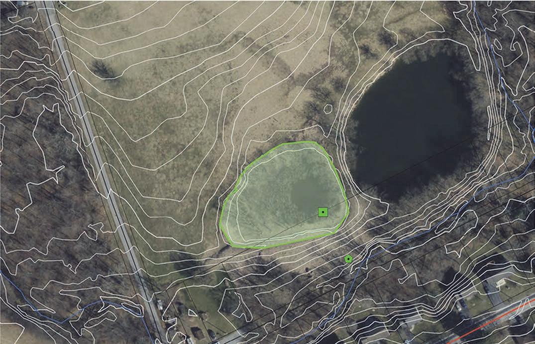
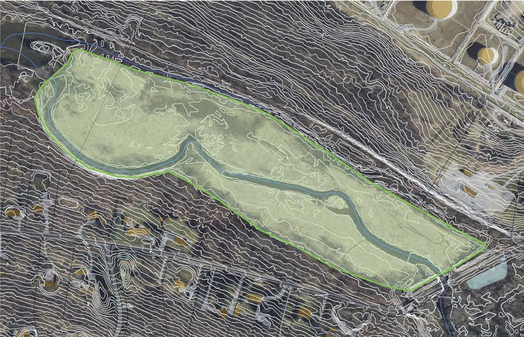
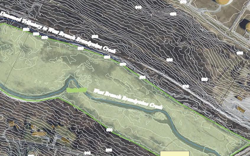
DEM geoprocessing was accomplished using ArcGIS Desktop from ESRI. The Spatial Analyst Extension and the Hydrology Extension Fill tool was used to fill in sinks or depression in the DEM. Once filled, the resultant numeric surface was then subtracted from the original DEM surface to produce a layer effectively representing stormwater basins within the watershed. This layer was used as a reference layer along with 2-ft. topographic contours derived from the same LIDAR source, to edit and add additional stormwater basin geometry to the existing basins compiled from available sources. The basin boundaries depicted by the DEM derived layer matched reasonably well with existing BMPs compiled form County and Municipal sources. Where existing information did not exist, new polygons were added by digitizing basin boundaries identified during the Fill operation.
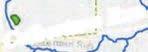
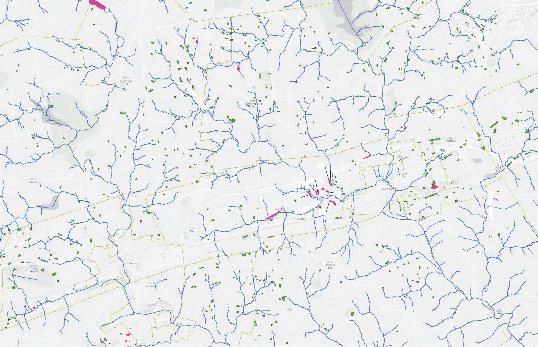
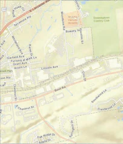
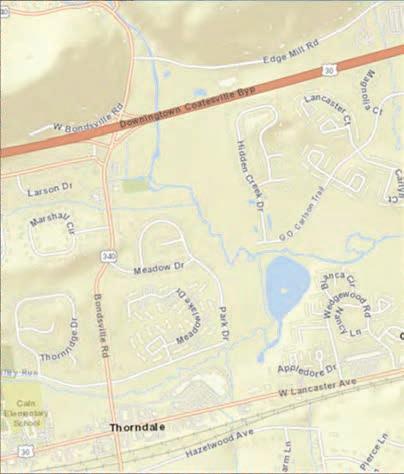
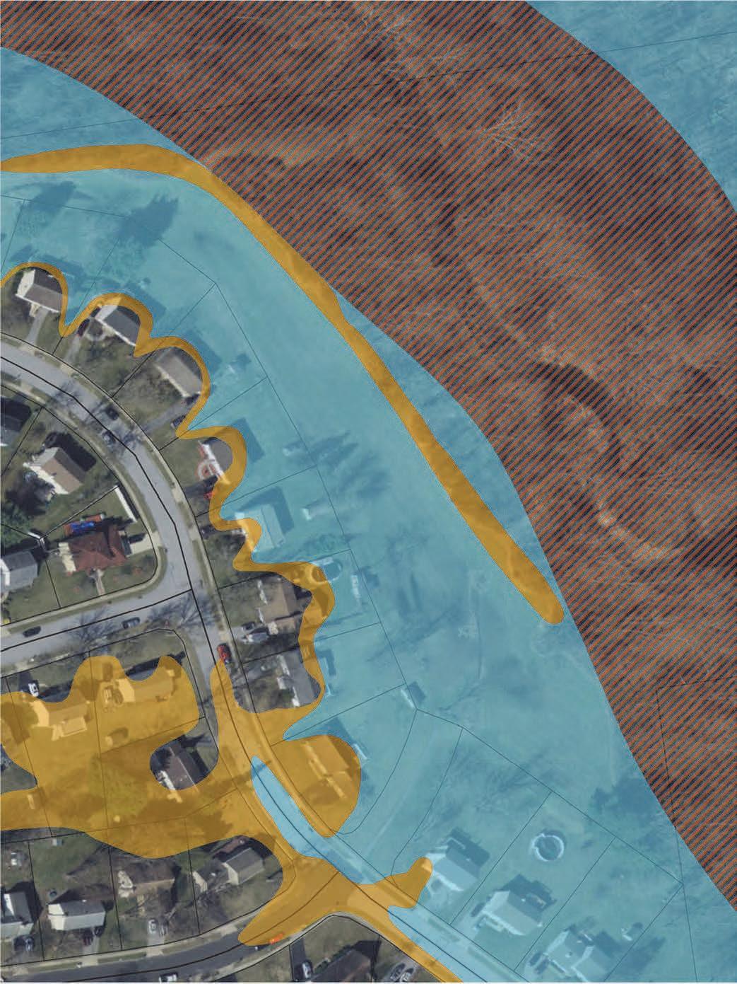
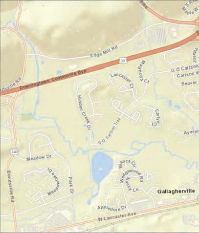
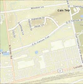
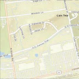
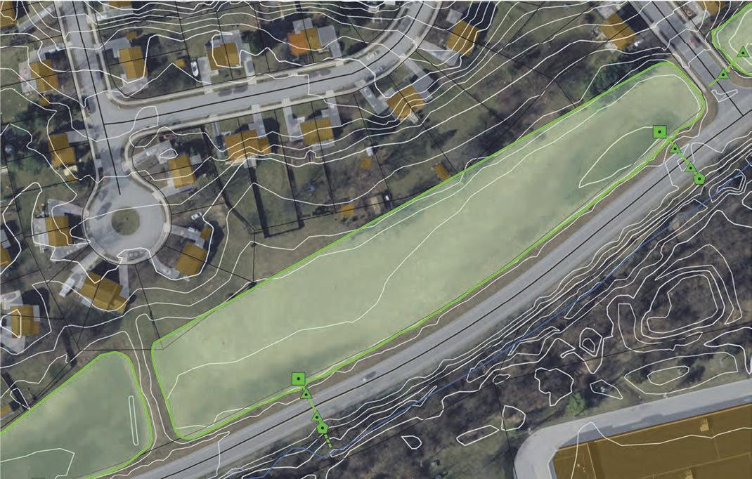
Attributes were added and updated to allow further assessment of basin geometry and includes descriptions of basin location, ownership, area, and volume estimates. Attribute definitions are presented in Table 1. Figure 1 presents the spatial extent of the stormwater basins in the Brandywine watershed. The spatial data layer can be found on Chester County's GIS HUB.
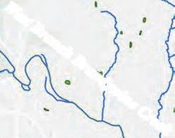
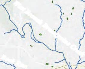
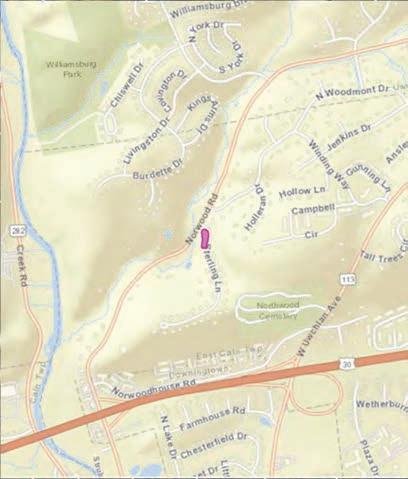
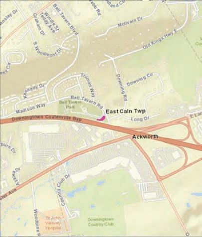
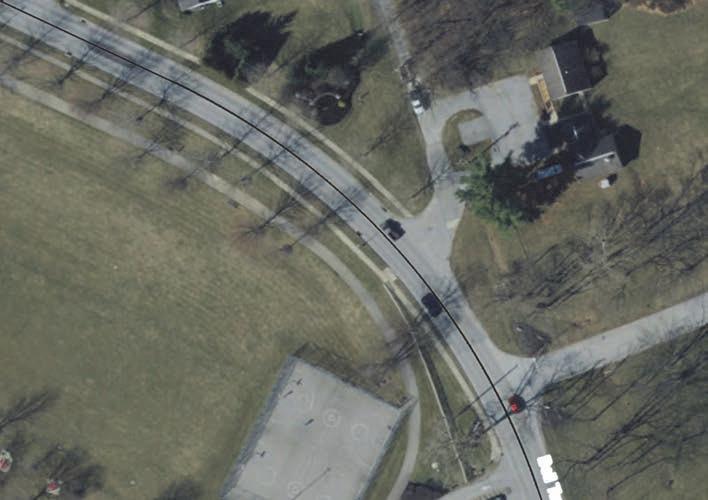
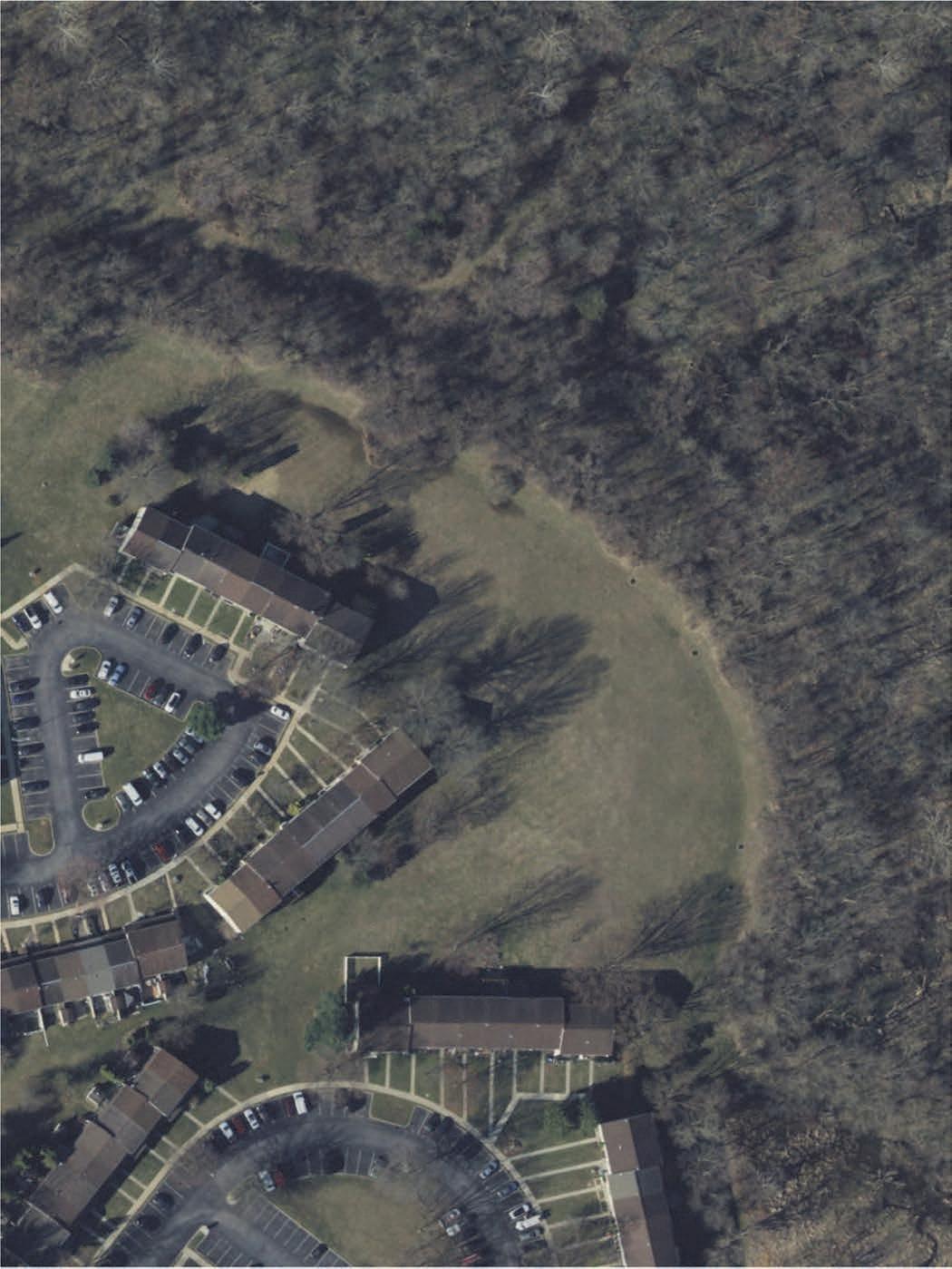
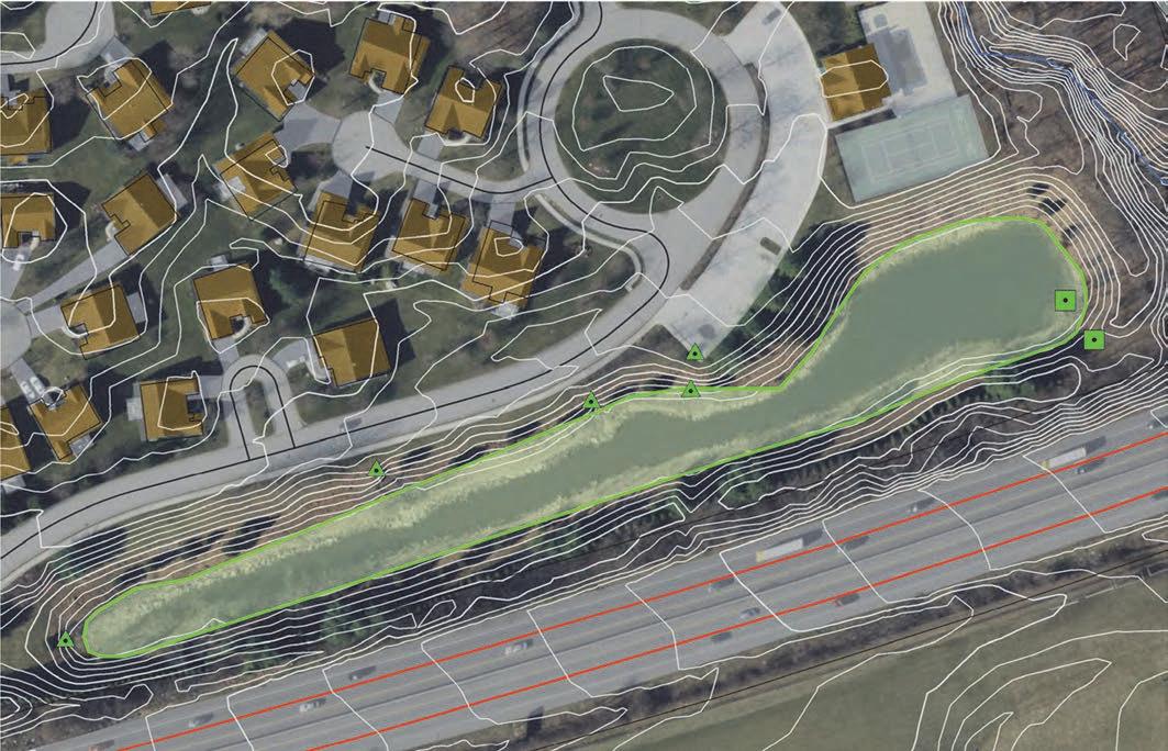
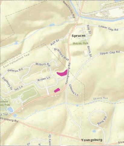
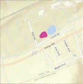
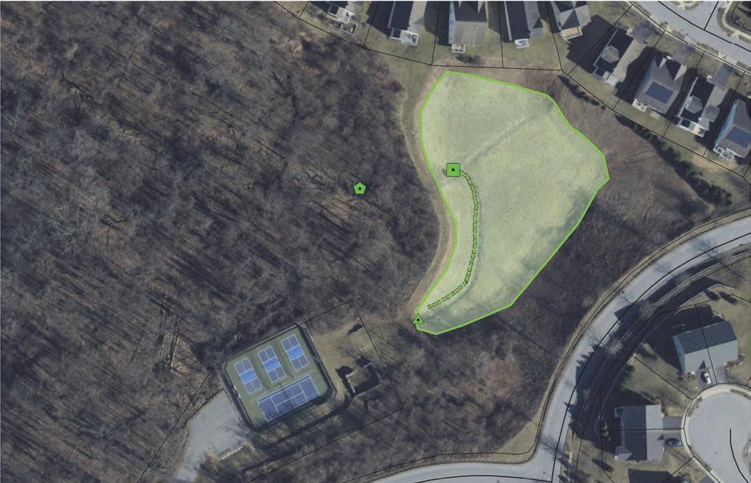
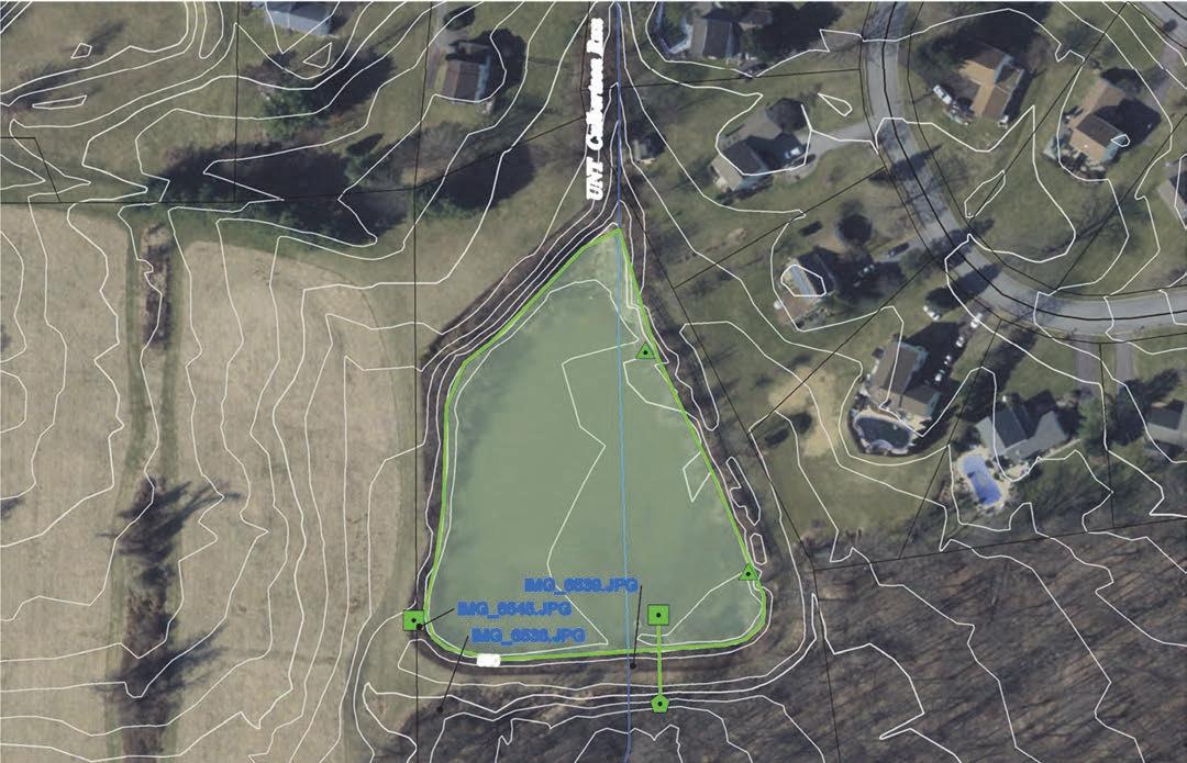
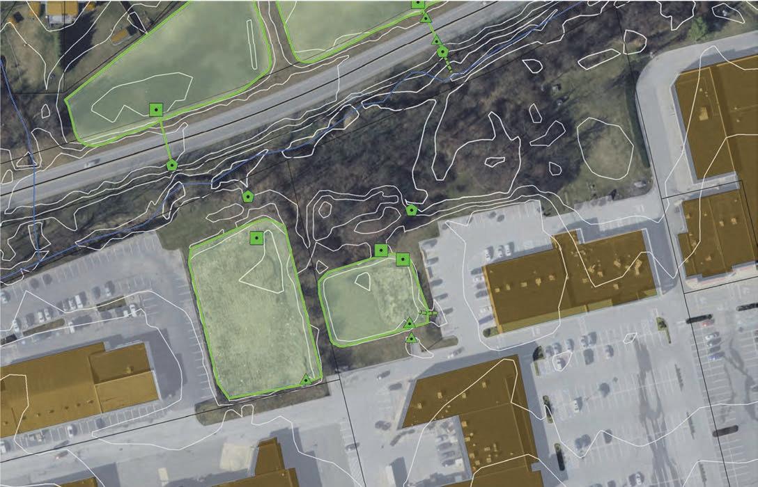
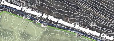
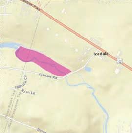
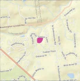
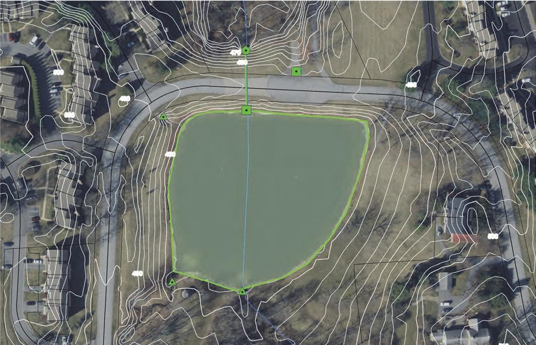
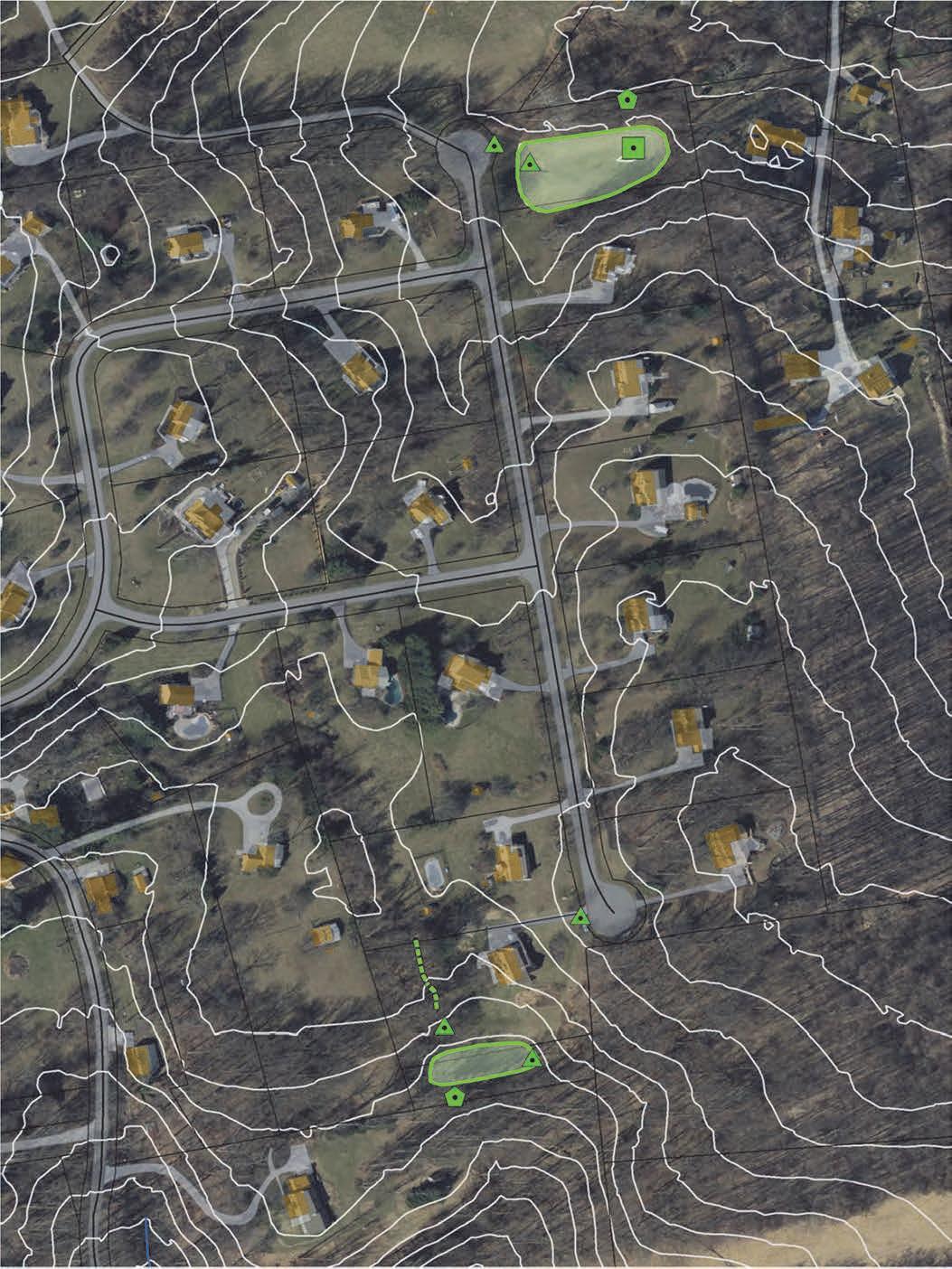
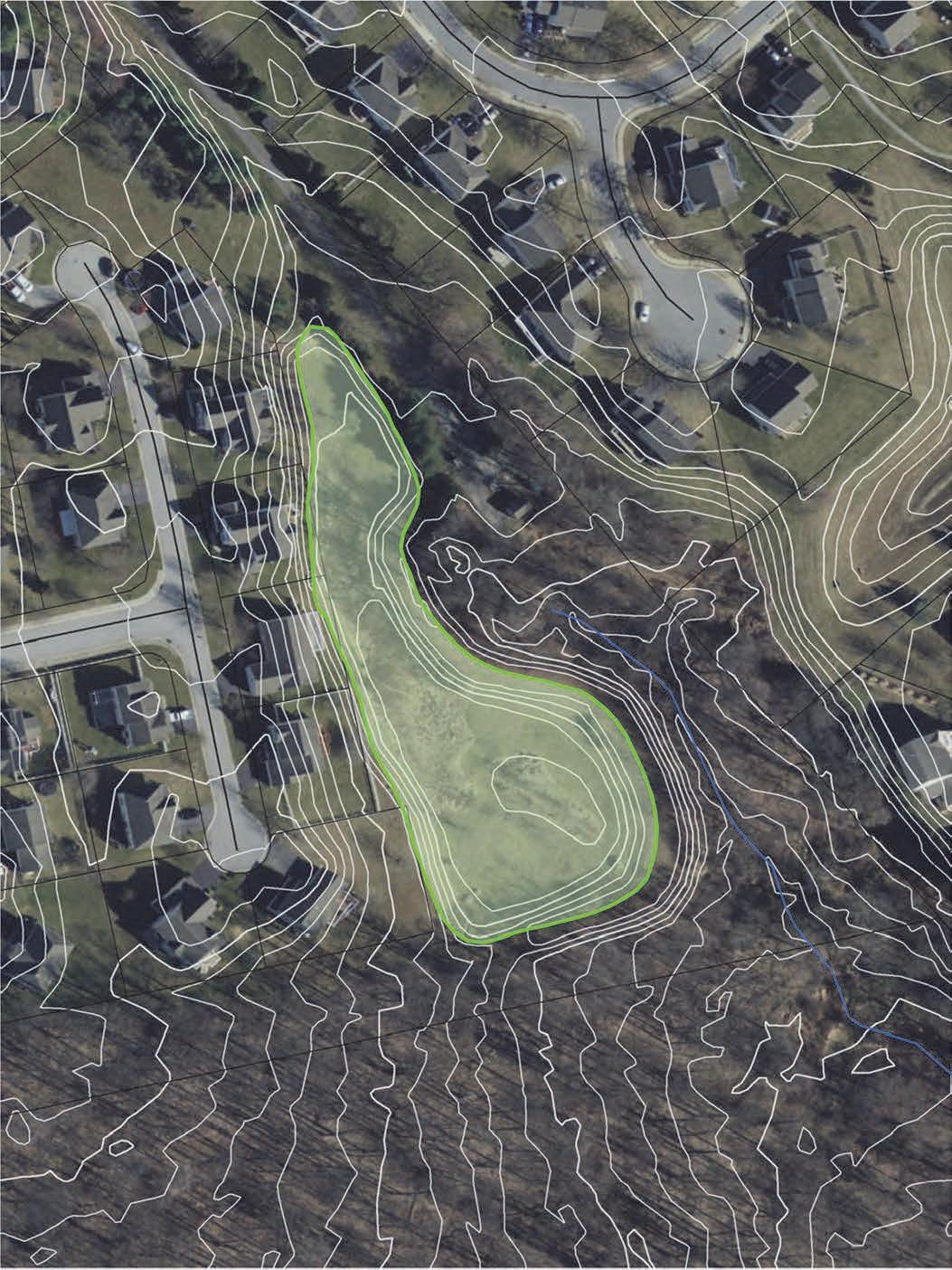
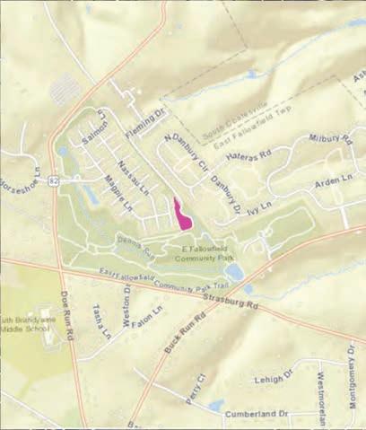
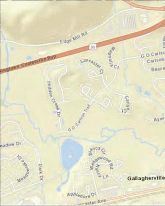
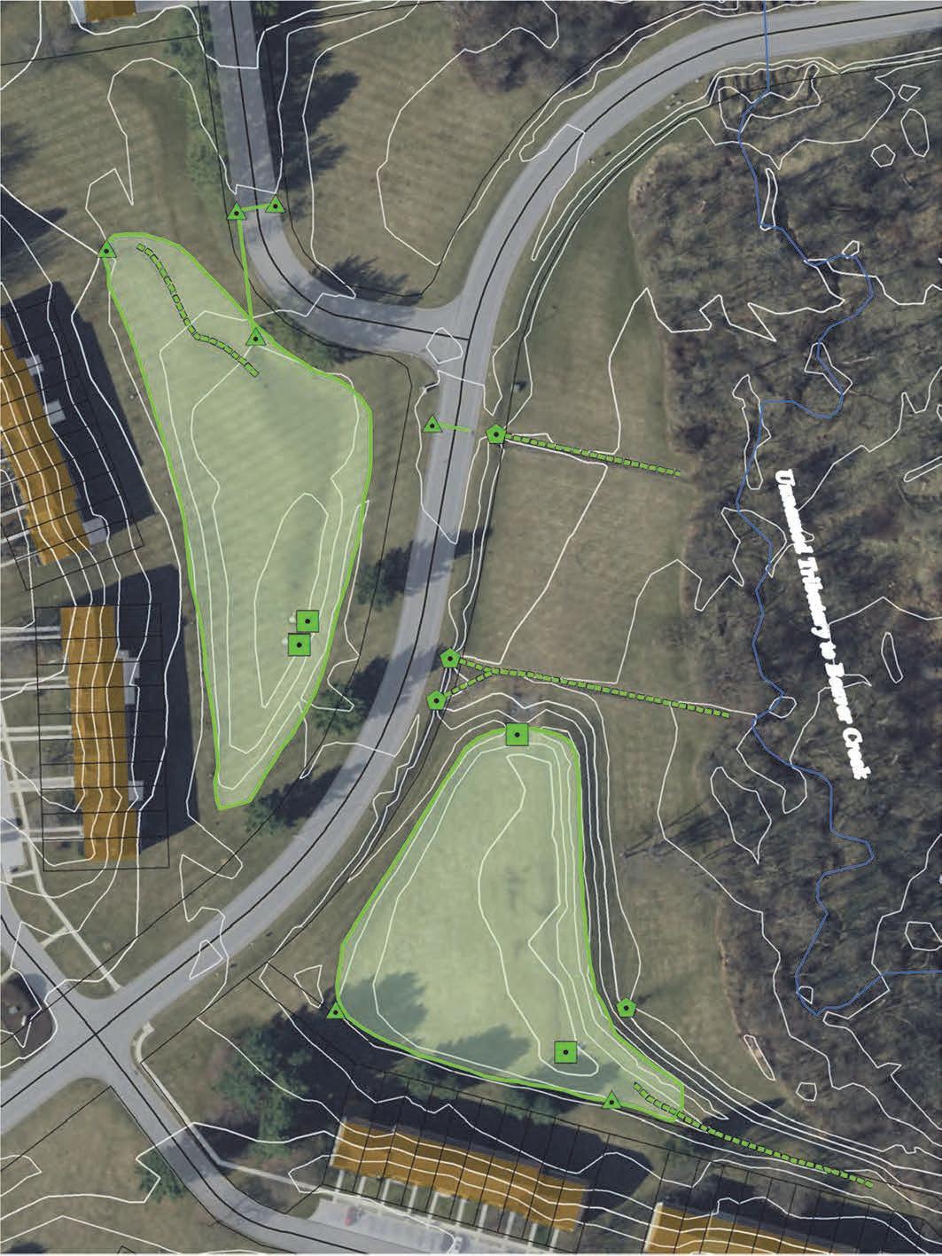
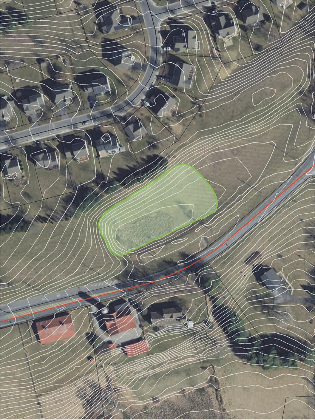
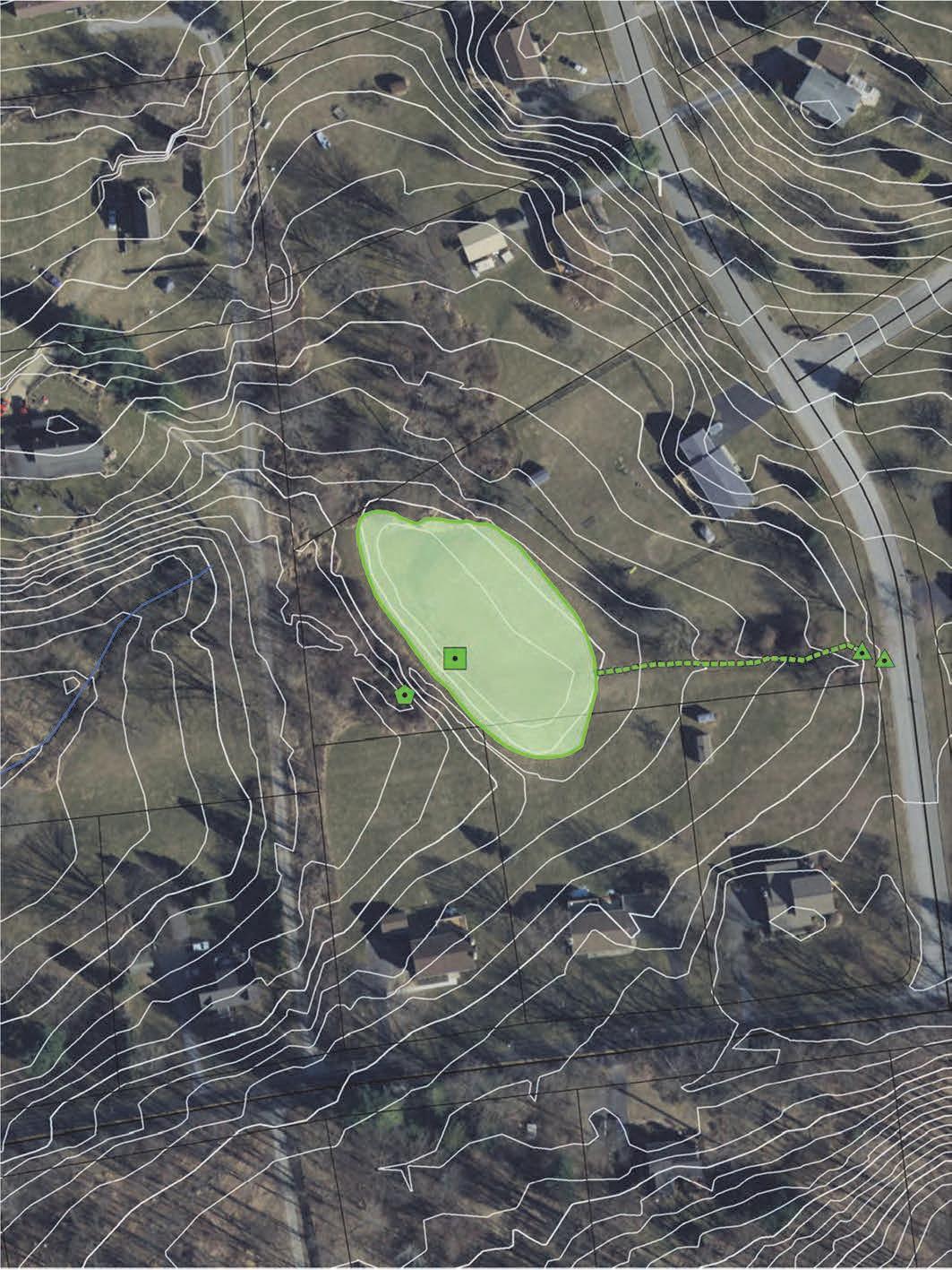
CCWRA requested field inspections of several basins in selected critical subbasins relative to flooding hazards in the Downingtown area. Focus was placed on the East and West Branch Brandywine Creeks upstream of the Downingtown/Coatesville area. Beaver Creek, Valley Run, Dennis Run, and their tributaries were included in this focus area. Other criteria for investigation were older basins installed prior to stormwater ordinances and designed with older stormwater management technology. The purpose of the inspections was to attempt to identif y candidates for pilot projects to assess the option to retrofit pilot study basins with modified outlet structures to hold more stormwater volumes and possible slower release rates to mitigate future flood hazards.
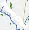
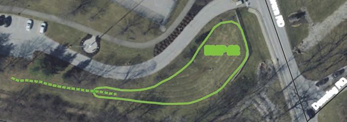
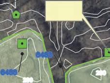
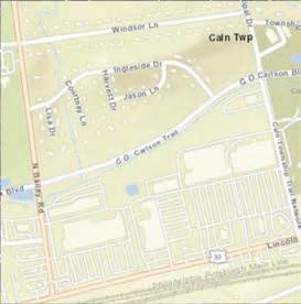
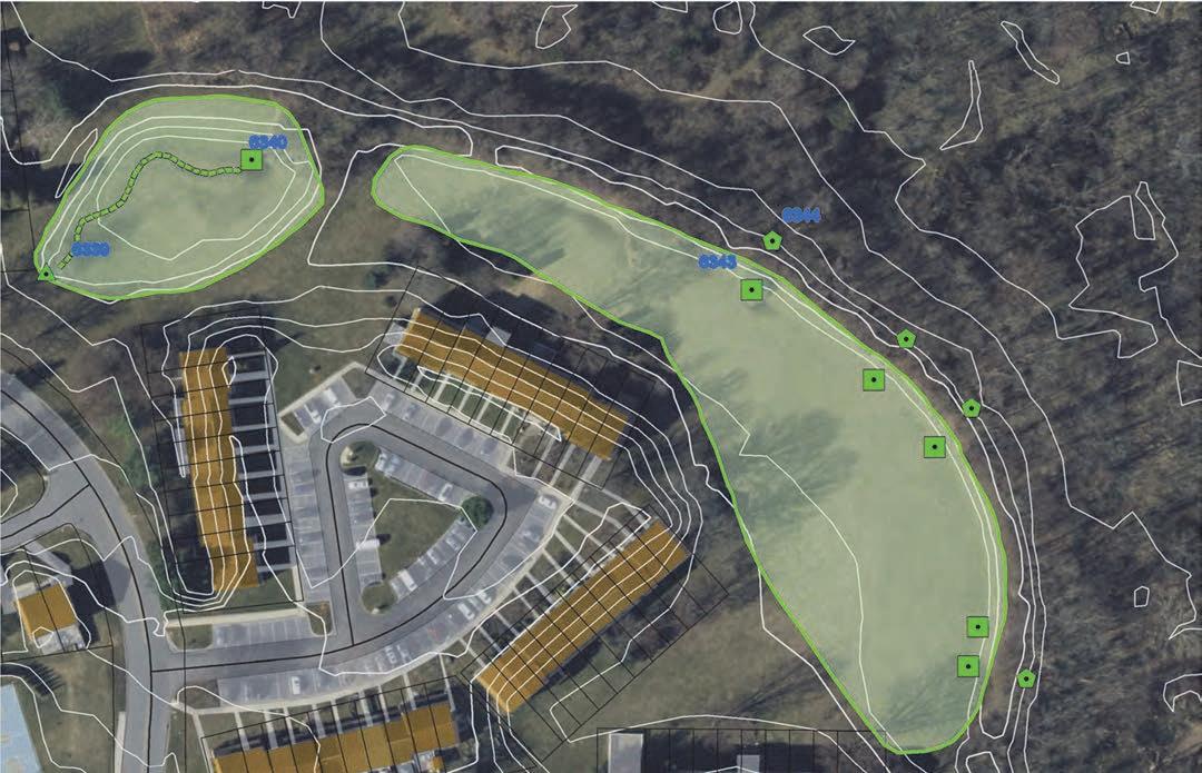
The list of potential pilot basins started with those that are municipal-owned. The list of inspected basins was expanded to include Homeowner Association (HOA)-owned facilities and privately owned facilities, focusing on tributaries that historically had major flooding impacts on the Downingtown region. Figure 2 shows the basins which were inspected during this effort.
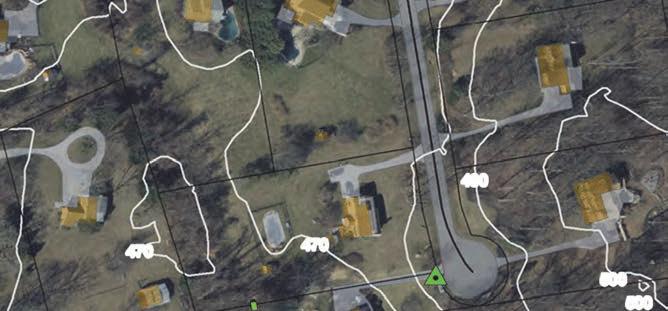
Inspections entailed a field visit and observations recorded by a certified stormwater inspector. PADEP inspection forms loaded into ESRI’s Survey123 application allowed the inspector to capture basin feature elements and report basin characteristics using a standard agency approved format. Each inspection was accomplished by filling out the survey form in the field using a smart phone, along with photos. Infrastructure features were captured in the field using a sub-meter accurate GPS receiver with a blue tooth connection to the smart phone running ESRI Field Maps. Points lines and polygons representing features such as inlets, stormwater pipes, and stormwater basins were digitized in the field using this approach. Features captured along with photo locations are presented in maps attached.


GEODESY, INC.
Geo-spatial Information Services
RESULTS -
To date, this effort has identified 1,231 basins in the Brandywine Watershed. A couple necessary caveats include the fact that the purpose of this task was to identify potential flood mitigation options, and features included in that analysis represent above ground stormwater management facilities including detention and retention basins. Subsurface and other infiltration practices may not be included even though they may have been included in the stormwater infrastructure data provided by the municipality. Also, the desktop method deployed to enhance the existing basin layer used DEM data created in 2008. Therefore, newer or current subdivision and land development activities may not be included unless those features can be clearly identified in the most current aerial photography. Again, the focus for inclusion was to identify opportunities for future flood storage and flood hazard mitigation. As new facilities come online this layer should be updated and be considered a living spatial document which will be edited and improved as required in the future as new information becomes available.
The total volume of stormwater detention/retention in the Brandywine watershed is estimated to equal 5,408,939-cubic feet or 124.17-acre feet. The sum volume of all 1,232 assessed basins in the watershed is based on the surface area of each basin multiplied by the basin storage depth. Storage depth is derived calculating zonal statistics of DEM points which fall within each basin. The minimum elevation (basin bottom) value was then subtracted from the averag e elevation which provides a reasonable design depth value for each basin for discussion purposes. If the basins were to be retrofitted with a new outlet structure, the potential storage volume can be estimated using the maximum elevation value from the DEM zonal statistics to calculate a potential depth, times the area of the basin, which would equal the potential volume following basin retrofit. This approach provides a rough estimate and depends on the accuracy of the basin boundary, which is typically the top of the basin berm though they may be higher than the emergency spillway. The list of potential candidates can be narrowed down using these rough estimates and can be refined for selected candidates with future formal survey and engineering support.
Thirty (30) stormwater basins were inspected during the months of August through October.


BMP #1


1% Annual Chance Flood Hazard
0.2 PCT ANNUAL CHANCE FLOOD HAZARD


Outlets


References
Brandywine State of the Watershed, 2018.
Federal Emergency Management Agency, 2015. Flood Insurance Study, New Castle County, Delaware.
Federal Emergency Management Agency, 2017. Flood Insurance Study, Chester County, Pennsylvania.
Federal Emergency Management Agency, 2017. Flood Risk Report, Chester County, Brandywine Christina Watershed, 02040205. Report No. 01.
U.S. Army Corps of Engineers, 1962, Delaware River Basin, New York, New York, New Jersey, Pennsylvania, and Delaware. Letter from the Secretary of the Army. Volume Vi.
U.S. Army Corps of Engineers, 1973. Floodplain Information, Brandywine Creek, New Castle County, Delaware. Prepared for the New Castle County Department of Planning.
Brandywine Valley Association, 2005. State of the Watershed Report, Brandywine Valley.
Senior, L. A. and E. H. Koerkle, 2003. Simulation of Stream Flow and Water Quality in the Brandywine Creek Subbasin of the Christina River Basin, Pennsylvania and Delaware, 1994-98. Water Resources Investigations Report 02-4279. U. S. Geological Survey.
(Smith, Chatman-Royce Associates, 1972)
Stuckey, M.H., Conlon, M.D., and Weaver, M.R., 2023, Characterization of peak streamflows and flooding in select areas of Pennsylvania from the remnants of Hurricane Ida, September 1–2, 2021 (ver. 1.1, September 28, 2023): U.S. Geological Survey Scientific Investigations Report 2023–5086, 28 p., https:// doi.org/ 10.3133/ sir20235086.).
(ver. 1.1, September 28, 2023): U.S. Geological Survey Scientific Investigations Report 2023–5086, 28 p., https://doi.org/ 10.3133/ sir20235086.).
Delaware River Basin Commission, Docket No. D-64-15 CP (Smith et al. 2022). Smith, J. A., M. L Baeck, Y. Su, M. Liu, and G. A. Vecchi, 2022. www.usgs.gov. 2. Ries, K. G. and J. A. Dillow, 2006. Magnitude and Frequency of Floods on Nontidal Streams in Delaware. U. S. Geological Survey. Scientific Investigations Report 20065146.
US Army Corps, 2001 (Open Space Institute (OSI), 2020). (Greenseams, 2021, p.1).
(Kline, 2010)
Vermont Agency of Natural Resources Department of Environmental Conservation (VTDEC), 2018