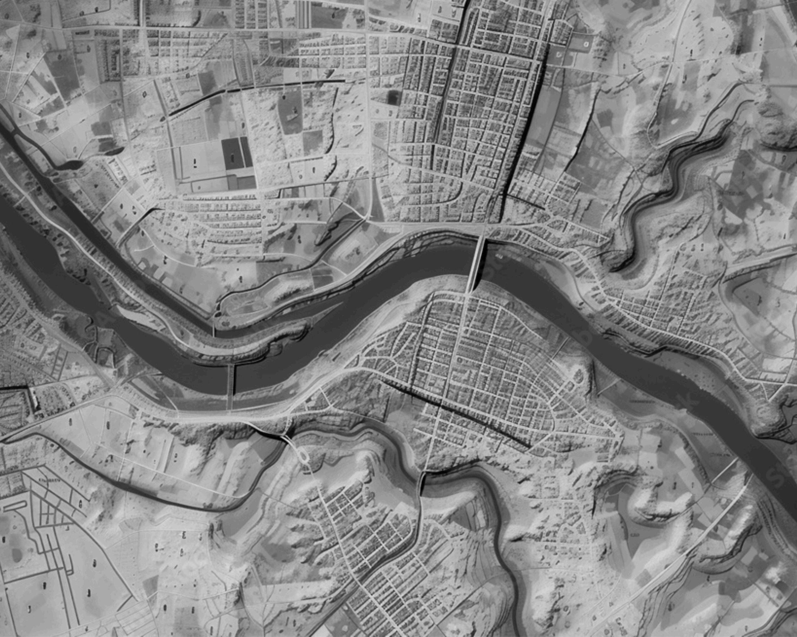
Synergy'sextensiveGISexperience empowersfederalagenciesto achievetheirsystempriorities throughcustomsolutions,real-time dataaccess,andseamless integrationwithlegacysystems. LeveragingadvancedAI/ML,cloud technologies,andmobileGIS,we enhancedecision-making, operationalefficiency,anddata security,ensuringmission-critical geospatialinsightsforsuperior maritimesafetyandmanagement.
AtSynergy,weserveover50,000enterpriseusers acrossdiversemissionspaces.Ourteamof45+ GISprofessionalssupports16DHSandUSDAGIS projects,providingpreciseandefficientgeospatial solutions.With250+geo-processing,mapping, andimageservicesavailabletomorethan20 CoastGuardenterpriseprograms,wedeliver unparalleledcapabilities,including20+real-time andhistoricaltrackingservices.
SynergyexcelsindevelopingcustomGISviewer andservicesolutionsthatintegrateseamlessly withinexistingenterpriseapplications.Wedeploy thesesolutionsonESRI,Microso�,andLinux platforms,asdemonstratedbyourenhancements toMISLE,MSRAM,andUSAIMS.Ourteam providescutting-edgeapplicationsformapping, spatialanalytics,andothergeospatialtasks.
Weimplement,maintain,andcustomizetools,app builders,andsolutionsformission-specificGIS applications.AsthesolesourceproviderforUSCG Sextant,weshowcaseourcommitmenttotailored solutions.Additionally,weuselow-codebuilders fromESRIandAppiantocreatemapping applicationsforbrowsersandmobiledevices acrossUSCGenterprisesystems.

“We
areproudto supportour federalclients withthe applicationof GeoAI technologyto missioncritical disciplines,now including predictive modelingand forecasting, automateddata processing,and enhancedspatial analysis.”
MatthewBailey Director, USCG
APLESII


• ESRIServer-ArcGIS Enterprise,AGOL,Portalfor ArcGIS
• Python-ArcPy,ArcGISAPI forPython,GDAL
• GISToolsandPlatformsArcGISPro,FME,Web AppBuilder,Experience Builder
• GISAPIs-ArcGISAPIfor JavaScript,ArcGISRest API
Organizationsworldwideare harnessingthepowerofspatial analysiscombinedwithartificial intelligence(AI)toelevatetheiranalytical andpredictivecapabilities,accelerating actionableinsights.Thisintegration,known asGeoAI,istransformingthewaywe understandandinteractwithourworld.For theU.S.CoastGuard(USCG),leveragingGeoAI meansenhancingoperationalefficiency, improvingdecision-making,andmaintaining thesafetyandsecurityofourwaters.
OnecompellingexampleofGeoAI'simpactis intheworkoftheU.S.ArmyCorpsof Engineers.Responsibleformonitoring25,000 milesofwaterwaysand400ports,theyusea combinationofspatialanalysisandAIto
predictdecreasingwaterdepths, efficientlydeployingdredging equipment,andmaintainingthe movementofgoods.Thisapproach saves$100millionannually, illustratingGeoAI'spotentialto optimizeresources andstreamline operations.
GeoAIcombinesthe powerofGIS technologywithAI toautomatetasks, identifypatterns, andgenerate predictiveinsightsat anunprecedented speedandscale.For theUSCG,this meansbetter managementoftheir extensiveassets, includingvesselsand aircra�.By leveragingreal-time andhistorical trackingservices, GeoAIoffers potentialcapability fortheUSCGtomonitorandrespond tomaritimeactivitiesmoreeffectively, ensuringnationalsecurityand efficientresourceutilization.
impacts,suchasrisingsealevelsor extremeweatherevents.This empowerstheUSCGtoprepareand respondtonaturaldisasterswith greaterprecision,protectingboth infrastructureandlives.
GeoAIenhances businessagilityby enablingalmost instantaneous analysisandthe abilitytoadjust parametersand rerunanalyses quickly.This flexibilityiscrucial fortheUSCG,which mustadapttorapidly changingconditions andthreats.Whether optimizingsupply chains,managing criticalresources,or assessingclimate risks,GeoAIprovides thetoolsneededto makeinformed, timelydecisions.
ThefusionofAIandspatialanalysis alsobringsnewcapabilitiesin environmentalmonitoringand disasterresponse.GeoAIcananalyze vastamountsofdatafromsatellites, drones,andothersourcestoprovide real-timeinsightsintoclimatechange
ModernGIStechnologyallowsfederal leaderstoseethepresentin incredibledetail,whileGeoAIoffersa glimpseintothefuture,enabling better,quickerdecisions.Atatime whenchallengesaregrowingin complexity,GeoAIstandsoutasthe tooltomeetthesechallengeshead-on. ByincorporatingGeoAI,theUSCGcan maintainitsoperationaledge, ensuringthesafetyandsecurityof U.S.watersforyearstocome.
Synergy delivers advanced GIS solutions that empower federal agencies with real-time data insights, streamlined operations, and enhanced decision-making capabilities. Our GIS support spans critical federal programs, including the USDAʼs Aviation Checklist, Automated Flight Following, Fire Guard, and the Wildland Fire Decision Support System. By integrating innovative geospatial technology, Synergy helps agencies improve aviation
safety, optimize wildfire response, manage natural resource conservation, and drive renewable energy planning. Our solutions are designed to support compliance, increase operational efficiency, and ensure mission-critical capabilities in fast-paced environments.With a focus on data accuracy and user-friendly applications, Synergy is a trusted partner in advancing federal objectives and driving impactful results through GIS expertise.
AviationChecklist (AVCHECK)
AutomatedFlight Following(AFF)
AutomatedTelemetry Units(ATU)
Communication FrequencyandEquipment TrackingSystem(CEFTS)
FireGuard
NaturalResources ConservationService (NRCS)
A pilot and aircra� inspection system supporting the USDA Forest Service with web and offline capabilities to manage aviation vendor compliance.
An online application for tracking the location and velocity of aircra� for fleet management, supporting approximately 6,000 active users.
A tracking tool for firefighting aircra� and fire retardant deployment during wildland fire suppression.
Tracks frequency and equipment usage for wildfire incidents to prevent interference and coordinate resources.
An ArcGIS system for monitoring reported fires across the U.S., providing data on acreage, location, weather, and jurisdiction to aid fire management.
Manages conservation standards information to support farmers, ranchers, and conservationists across the U.S. and territories.
NationalDataAssessment Tool(SDEDAT)
RenewableEnergy
RiskCalculator
ShortHaul
WildfirePreventionSpatial AnalysisProgramSystem (WPSAPS)
WildlandFireDecision SupportSystem(WFDSS)
Evaluates Forest Service geospatial data against standards, supporting improved resource management and data compliance.
Provides interactive maps and analysis tools for USDA energy investments and biofuel/biogas feasibility evaluations.
Assists field users in assessing hazards, planning mitigation actions, and documenting safety decisions during fieldwork.
Offers fire managers and crews quick access to medical extraction resources for emergencies.
A tool for assessing and planning wildfire prevention strategies based on geospatial risk assessments.

A decision support system for managing wildland fires with strategic planning, integrating spatial data, fire behavior models, and policy guidelines.