Our in-house team can now self-deliver all aspects of survey inspections, photogrammetry, 3D Point Cloud creation and media.
The data gathered from our drones can facilitate early engagement induction and site familiarisation. Through the use of animations, we enable clash detection or sequencing videos that visualise the more intricate construction operations.
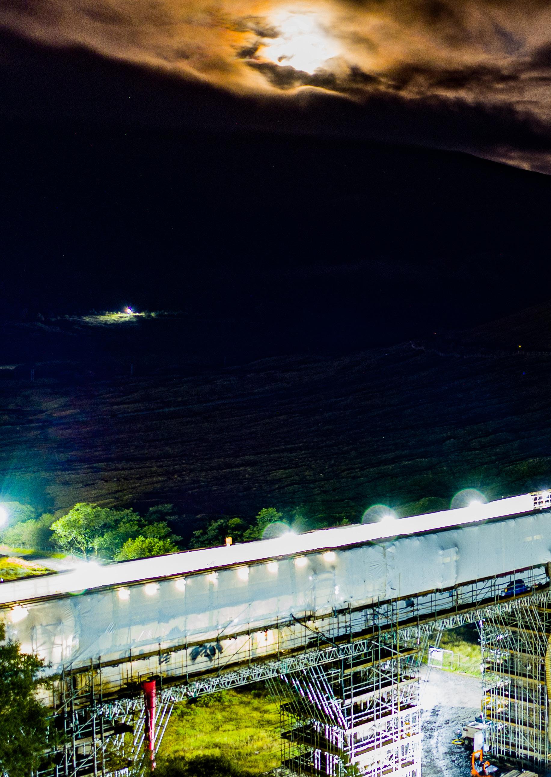
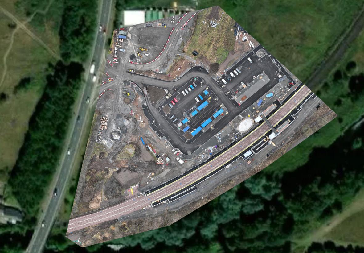
Allows personnel to view and map inaccessible areas safely, easily and quickly.
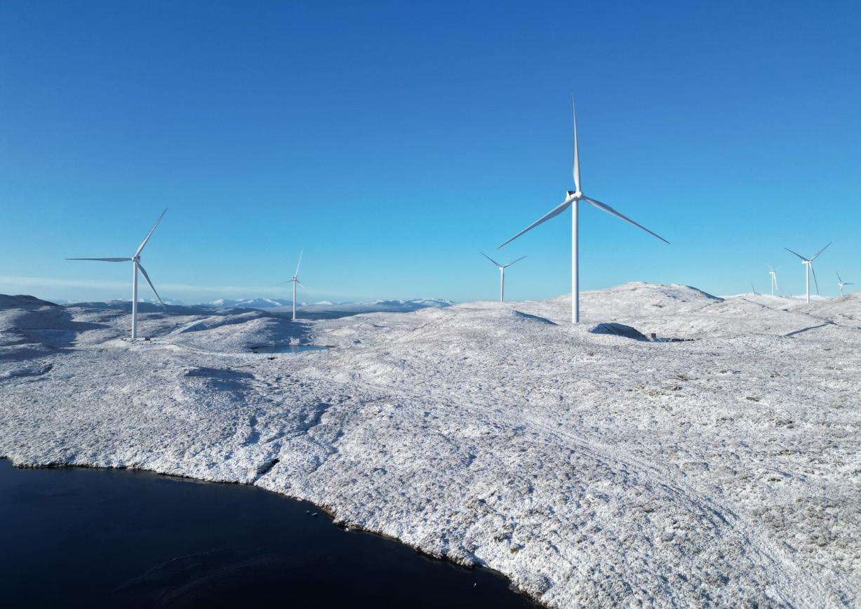
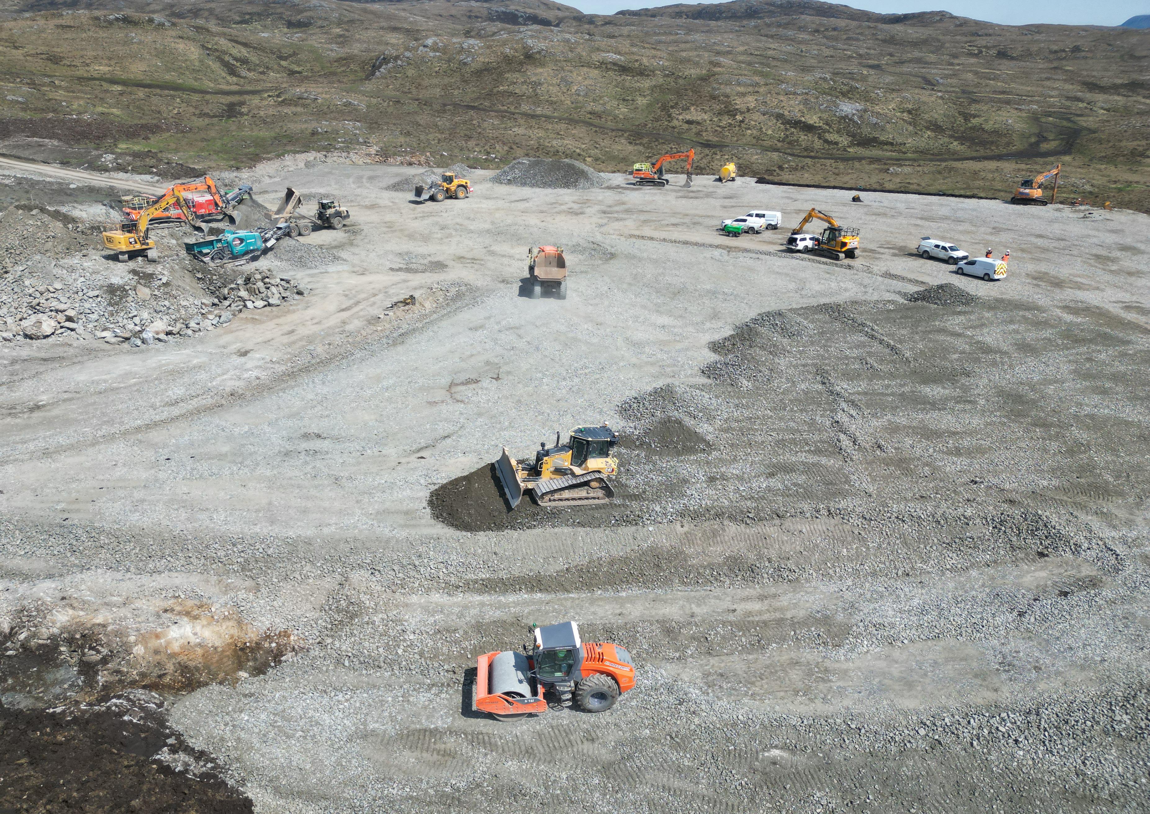
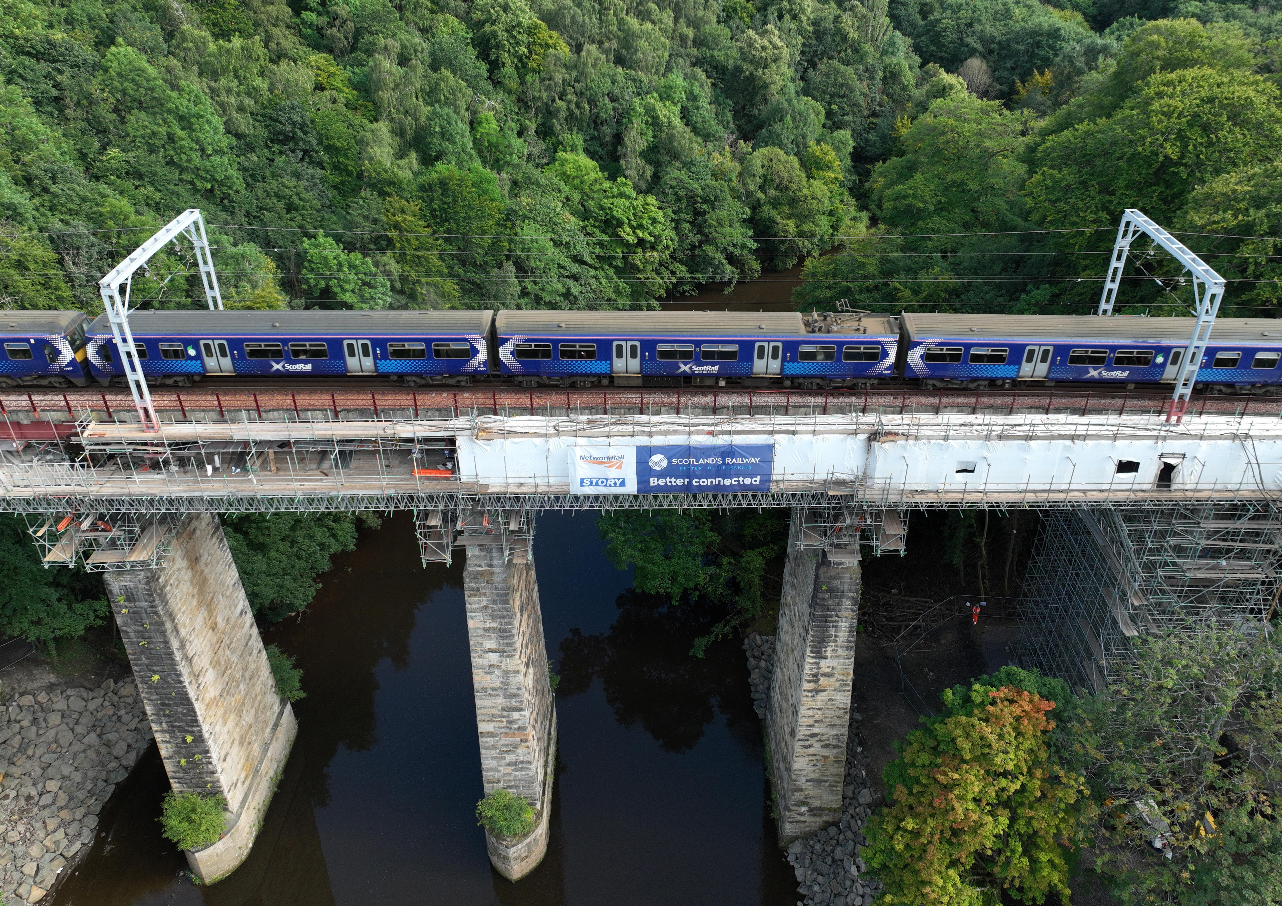
Land surveys can be complete in a fraction of the time with a drone compared to on foot.
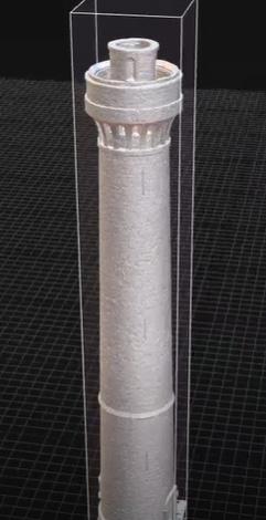
Between the Lidar and Photogrammetry, higher resolution and more concentrated data is produced.
Using drones to complete dilapidation surveys reduces the risk to employees, whilst still delivering a comprehensive survey that documents the state of building components and systems, as well as minor wear and tear/staining.
Lidar drones are used for surveying land with high accuracy. The drones can send laser pulses to millions of reflection points, for the creation of high resolution maps and 3D digital surface models.
Using photogrammetry and lidar data captured by our drones, we can map the feautures, elevations and boundaries of a site. It penetrates through vegetation, and uses light sensors to give a 3D image.
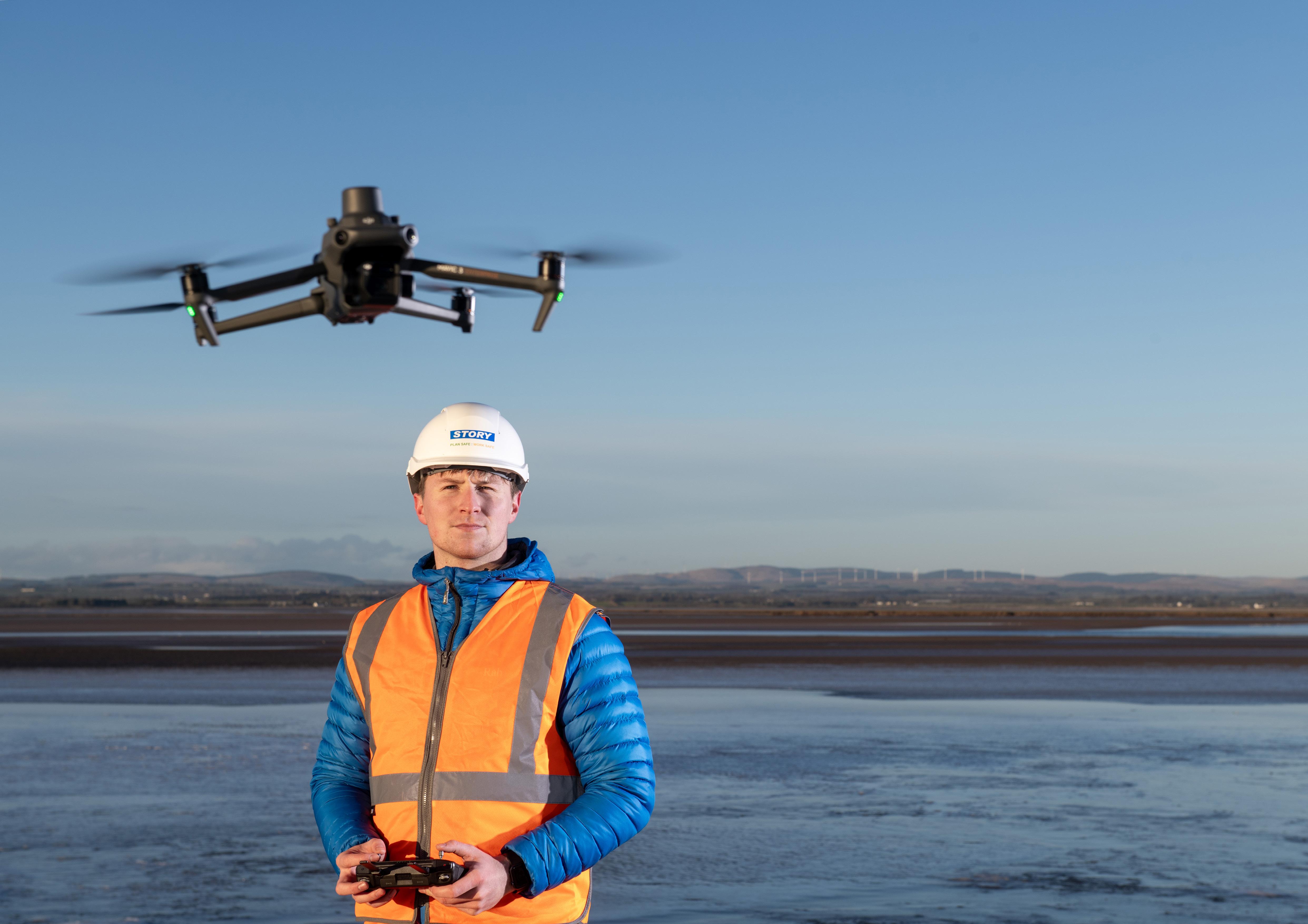
Our aerial photography and media services utilise the latest Unmanned Aerial Systems (UAS) drone technology, to provide an exceptional combination of HD aerial video and photography.
Our drones present an innovative and cost effective alternative to traditional workflows, allowing us to produce high quality images at a fraction of the cost.
This cutting-edge technology combines RTK and advanced photogrammetry software, enabling us to produce a comprehensive collection of data points in space.
This service is particularly advantageous for asset management and BIM, allowing us to create a digital representation of any building or structure.
Maximum windspeed 12m/s
Operating temperatures -10° to 40° C
Zoom 8x
Mapping accuracy 15-20mm
Storage 128GB
Maximum flight time 45 minutes
Maximum windspeed 10.7m/s
Operating temperatures -10° to 40° C
Zoom 4x
Mapping accuracy 15-20mm
Storage 128GB
Maximum flight time 45 minutes
• Tracks GPS/QZSS L1C/A, L2C; GLONASS L1OF, L2OF; BeiDou B1I, B2I; Galileo E1-B/C, E5b
• Fast RTK convergence
• 22 hours on 1 charge
• Operating temperature -20°C to +65°C
• Logs RINEX at update rate up to 10Hz
• 16GB of internal storage
• Precision static H: 4mm+0.5ppm V: 8mm+1ppm
• PPK H:5 mm+0.5ppm V:10mm+1ppm
• RTK H: 7mm+1ppm V:14mm+1ppm
• 360° x 290° field of view
• Operating temperature 0° - 40° C
• 512GB internal storage
• Data capture - Point clouds with intensity and color, 360° images, trajectory
• Precision static H: 4mm+0.5ppm V: 8mm+1ppm
• PPK H:5 mm+0.5ppm V:10mm+1ppm
• RTK H: 7mm+1ppm V:14mm+1ppm
• 5mm mobile scanning precision
• 2mm stationary flash scanning precision
• Detection range: 450m @50% reflectivity, 0 klx / 250m @10% reflectivity, 100 klx
• Point cloud rate: Single return: max. 240,000 pts/s/ Multiple returns: max. 1,200,000 pts/s
• System Accuracy: Horizontal: 5 cm @ 150 m Vertical: 4 cm @ 150 m
• Operating temperature -20° - 50° C