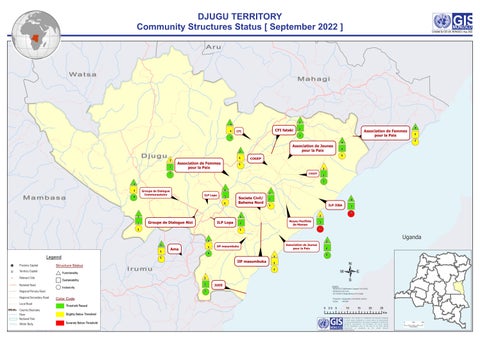
DJUGU TERRITORY Community Structures Status [ September 2022 ]
K O
Compiled By GIS Unit, MONUSCO, Aug. 2022
Aru
Wa t s a
Mahagi
#
#
3
4
" ! 1
CFI fataki
CFI
# 2
" ! 2
# 1
1
#
Mambasa
4
ILP Lopa
" ! 3 1
#
#
3
" ! 2
ILP Lopa
1
# 5
" ! 1
Legend ! P
Province Capital
! H
Territory Capital
!
Relevant Site National Road
1
Structure Status Functionality Sustainability Inclusivity
Regional Primary Road Regional Secondary Road Local Road
Irumu
" ! 1
" ! 2
2
4
1
Noyau Pacifiste de Maman
2
4
" ! 3
# " !
Association de Jeunes pour la Paix
#
Uganda
3
" ! 2 3
/
1 1
# 2
" ! 3
JUDE
Source : - MONUSCO Stabilization Support Unit (ISSS) - MONUSCO GIS Unit - IGC (Institut Géographique du Congo)
3
Color Code Threshold Passed
Country Boundary River National Park
Slightly Below Threshold
Water Body
Severely Below Threshold
2
0
1
IlP masumbuka
" ! 0
2
" !
IlP masumbuko
ILP JIBA
#
4
Ama
2
#
" !
1
#
1
2
5
Groupe de Dialogue Nizi
" !
3
Societe Civil/ Bahema Nord
" !
2
#
4
Groupe de Dialogue Communautaire
3
1
4
#
1
COGEP
3
#
1
COGEP
2
# " !
" !
Association de Femmes pour la Paix
#
Association de Jeunes pour la Paix
3
Association de Femmes pour la Paix
2 3
3
Djugu
" !
Projection :Geographic Coordinate System Datum : WGS84
0
2.5
5
GIS
10
15
20
25 Km
Disclaimer: This product is confidential and exclusive property of United Nations MONUSCO. It should neither be disseminated nor sold outside MONUSCO. This product is designed for MONUSCO operational requirements. The boundaries and names shown and the designations used on this map do not imply official endorsement or acceptance by the United Nations Compiled By GIS Unit, MONUSCO August 2022.Version 4
0
250 Kilometers
500