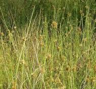
FLORIDA WILDS PARK
FALL 2024 GAINESVILLE, FL
MANGROVE LANDING
SPRING 2025 CEDAR KEY, FL
HARMONIC VISIONS
SPRING 2024 MANHATTAN, NY
SANCTUARY GARDEN
FALL 2023
JACKSONVILLE, FL
EARTH AND SKY
SPRING 2023
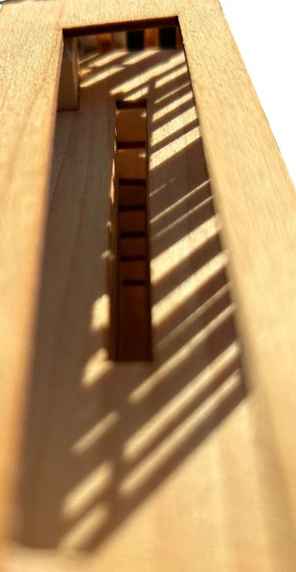
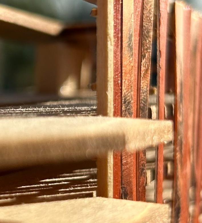
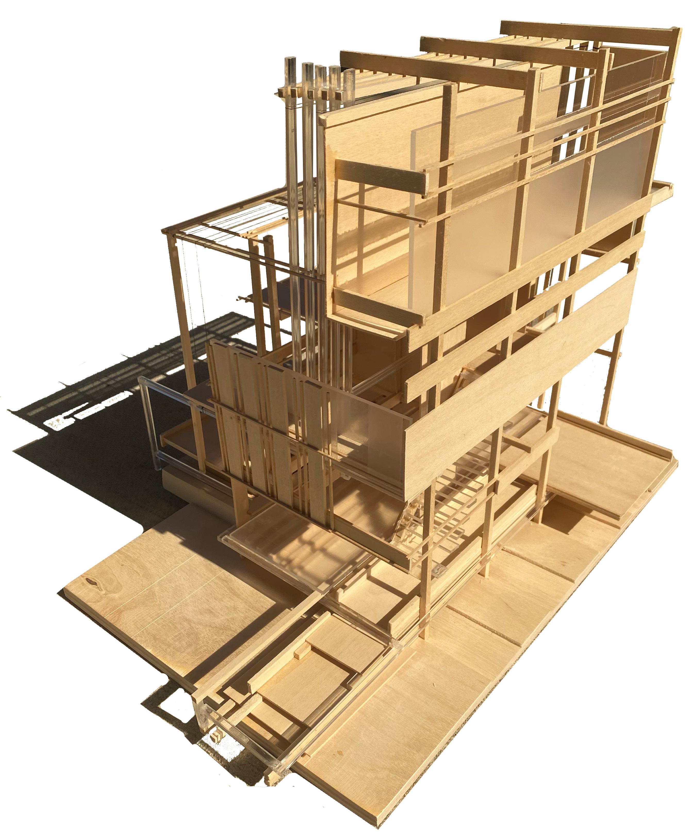
HOUSE OF SISYPHUS
FALL 2022
FALL 2024 GAINESVILLE, FL
SPRING 2025 CEDAR KEY, FL
SPRING 2024 MANHATTAN, NY
FALL 2023
JACKSONVILLE, FL
SPRING 2023
FALL 2022
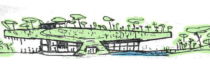
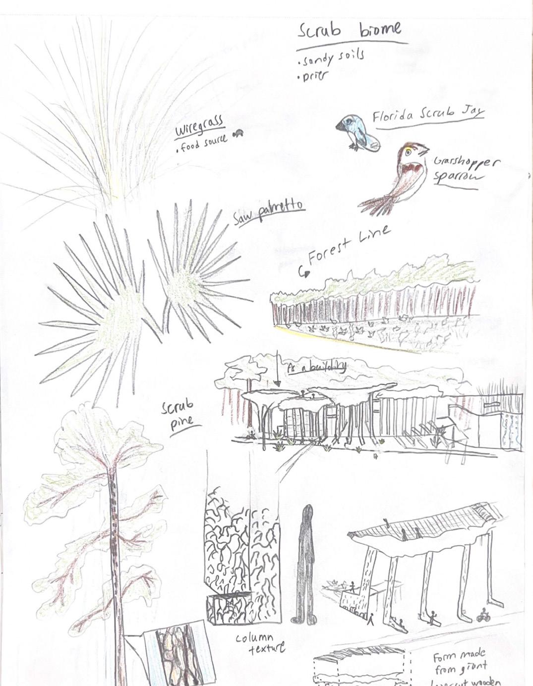
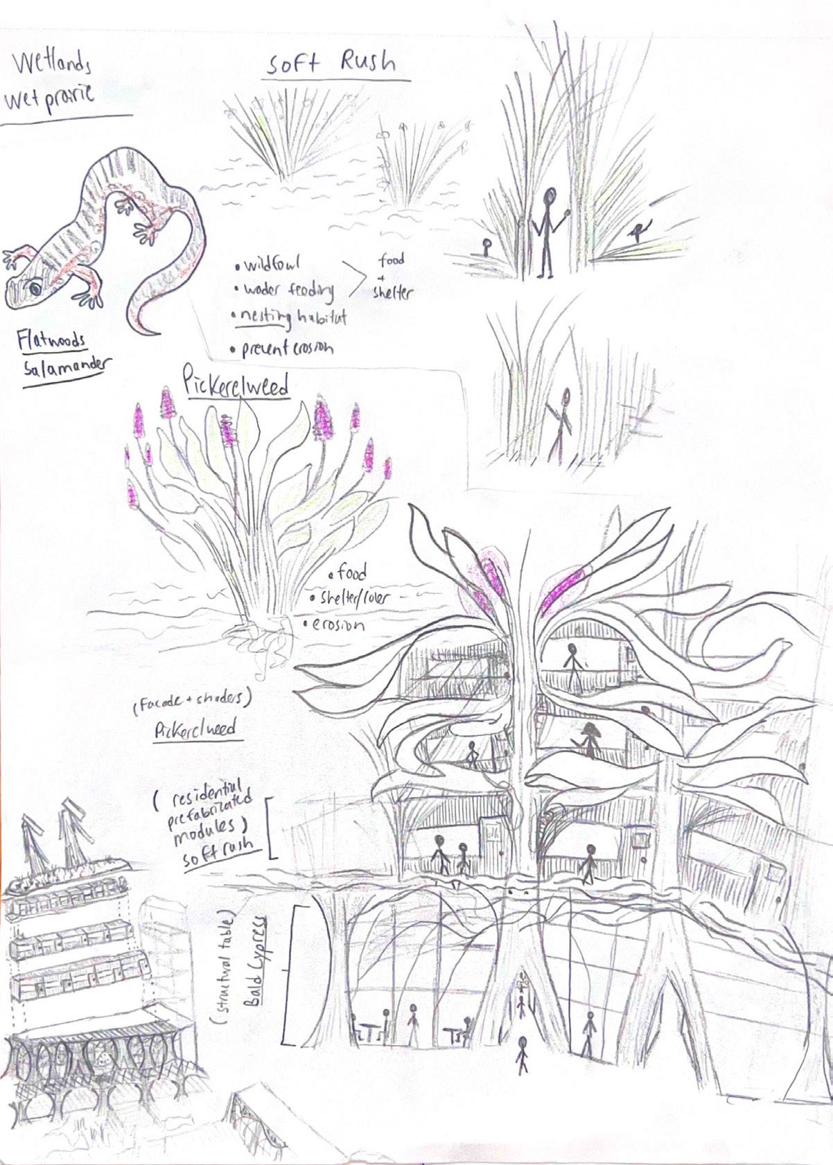
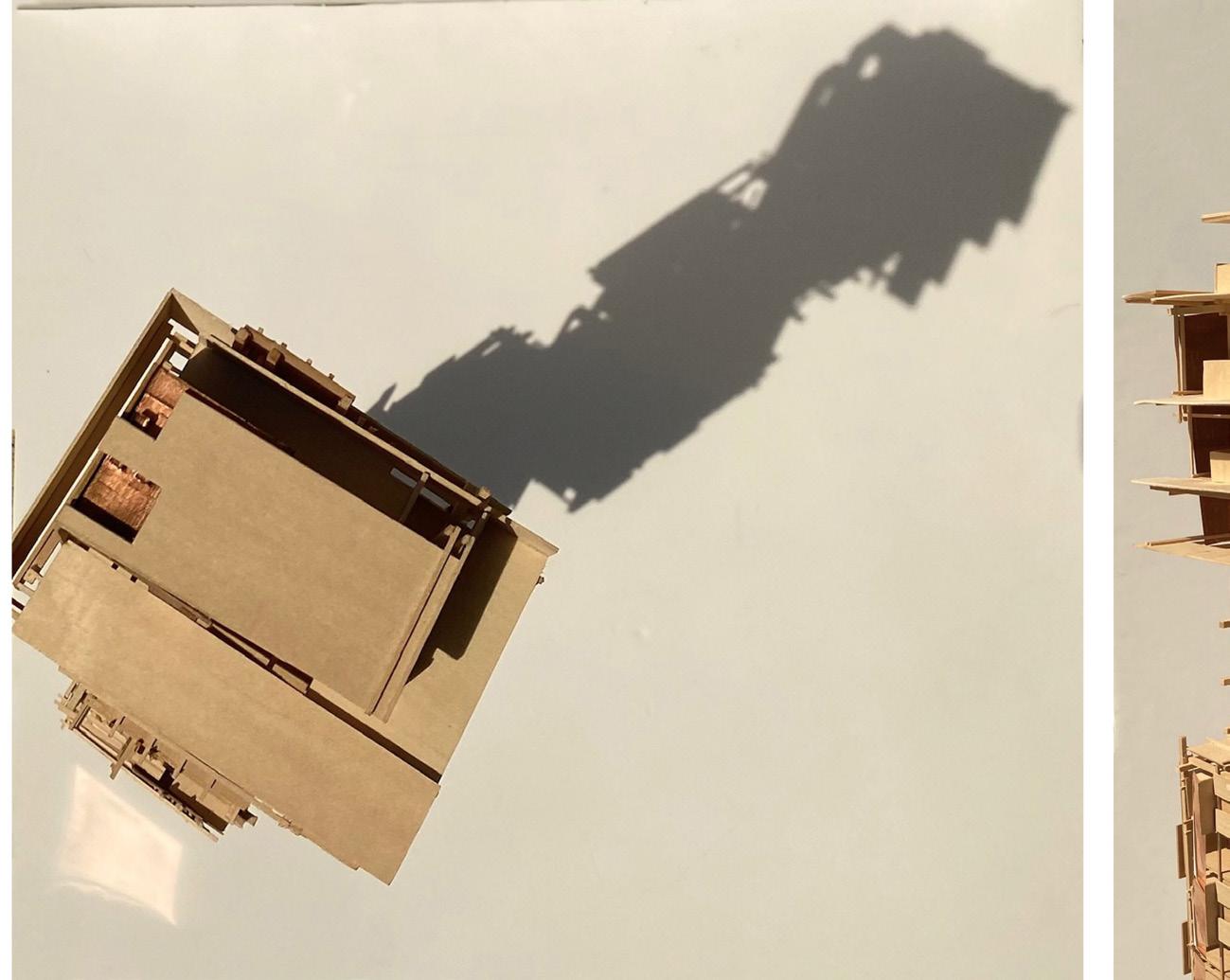
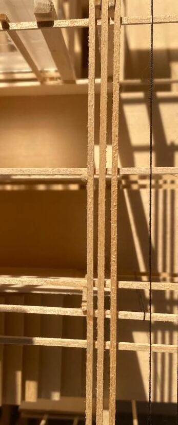
sketch studying materiality and hiearchy
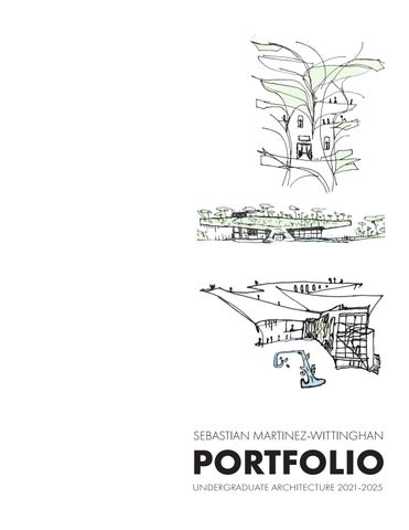
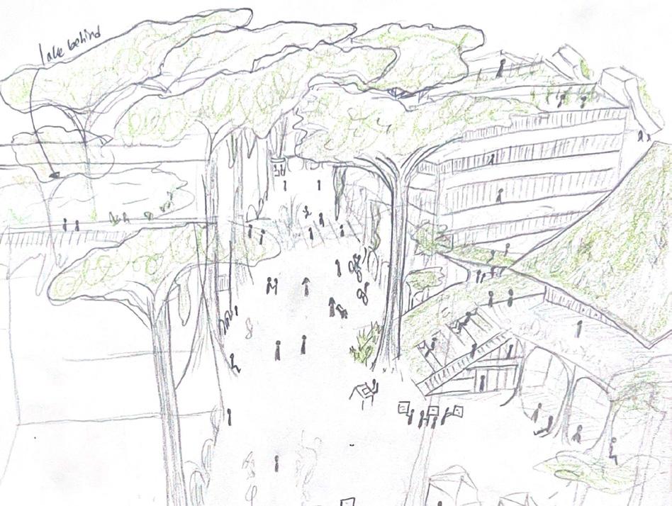
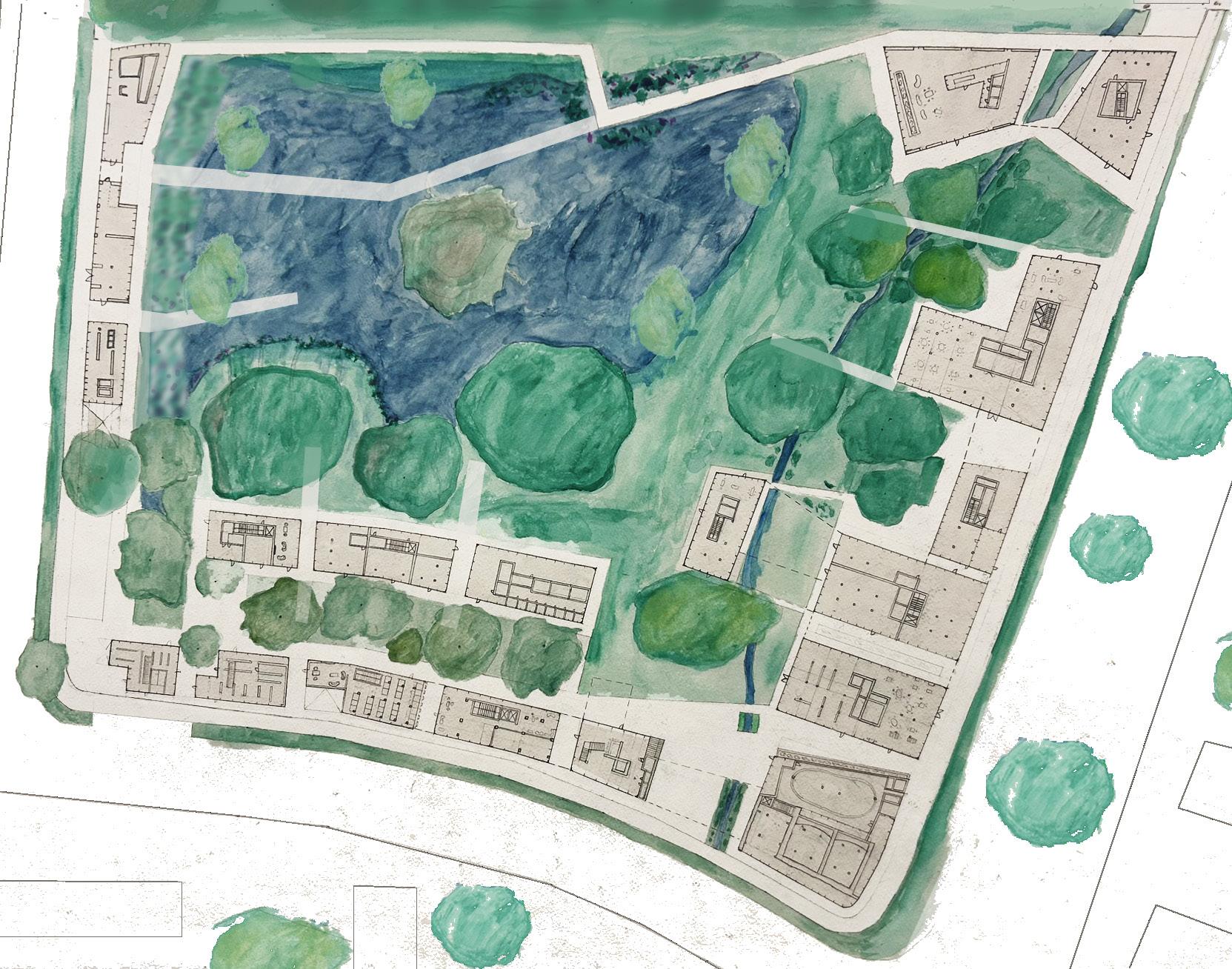
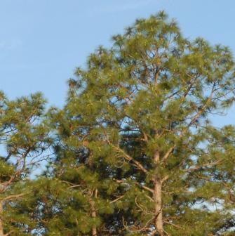
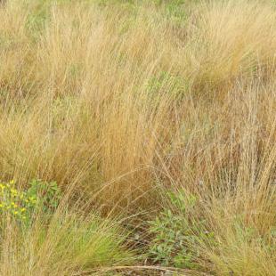
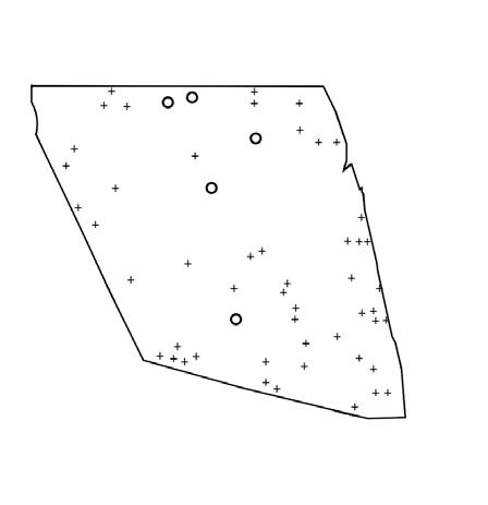
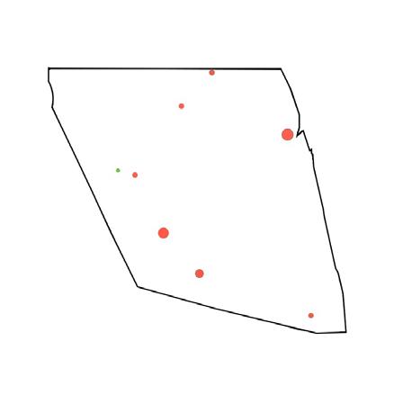
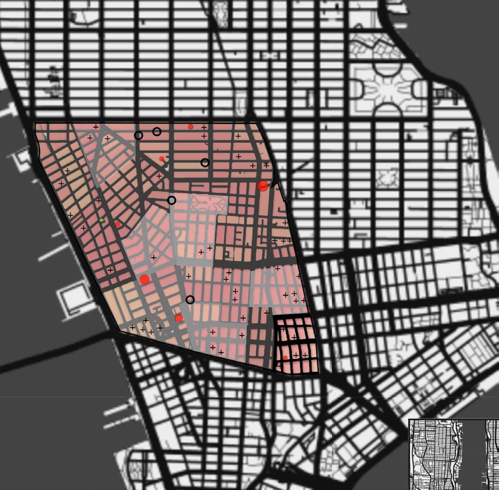
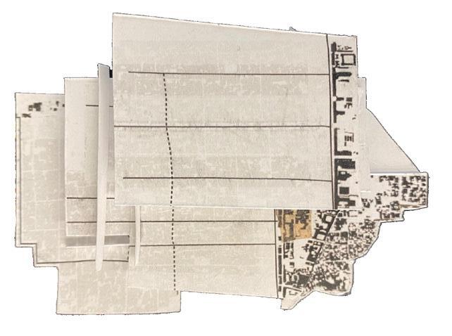
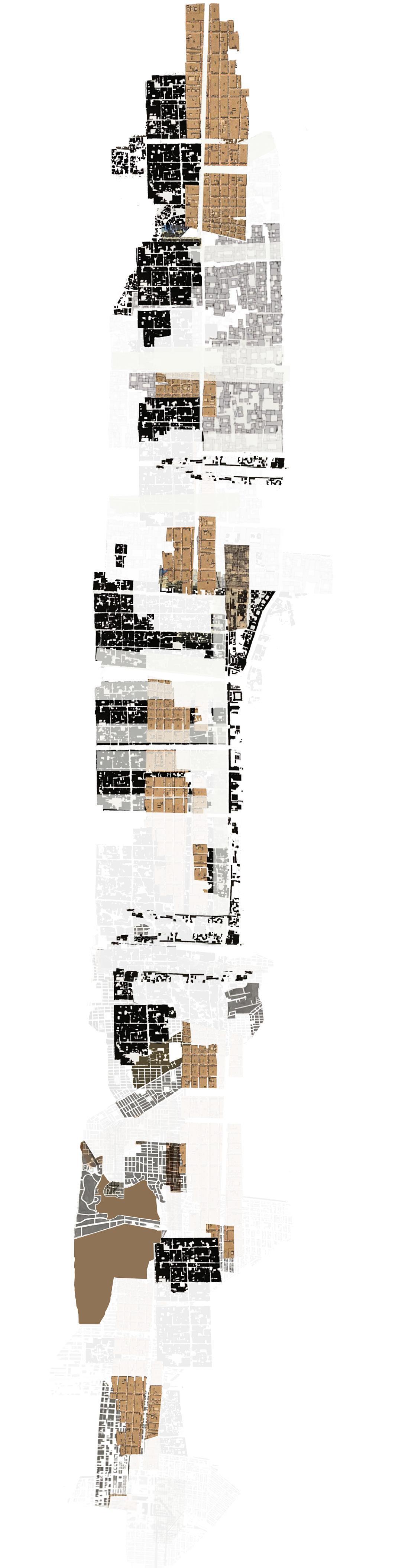
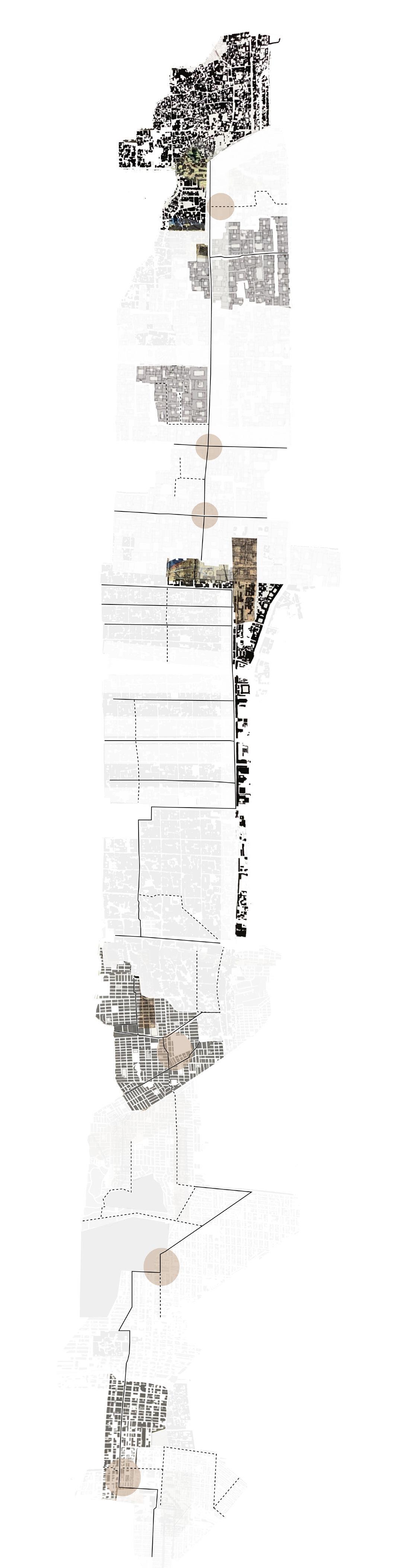
To repair the relationship between the city, and its natural systems, a 10 acre asphalt site and surrounding brownfields are fully rewilded. Man and nature overlap, connect and form a closer relationship. At the city level, the site reconnects the Sweetwater wetlands to the south and the northern scrub forests to Depot park. At the site level, flora and fauna structures are woven together with human spaces. Sustainable, natural materials are combined with recycled man made construction.
ABOVE: Edited watercolor section drawing showing overlap between plant life, human spaces and bat houses (thin tower structures).
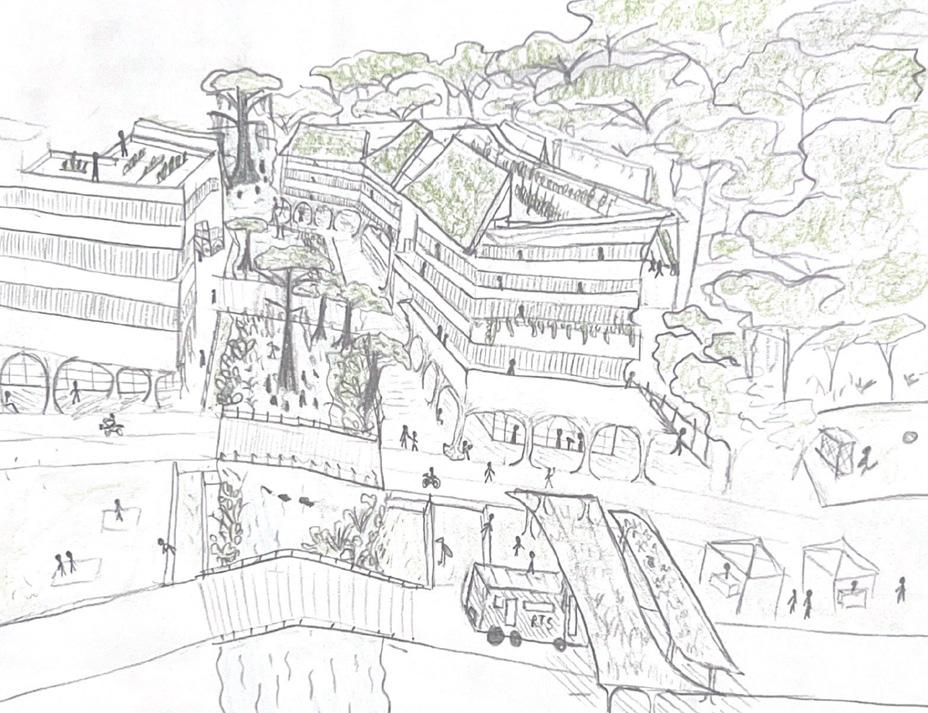
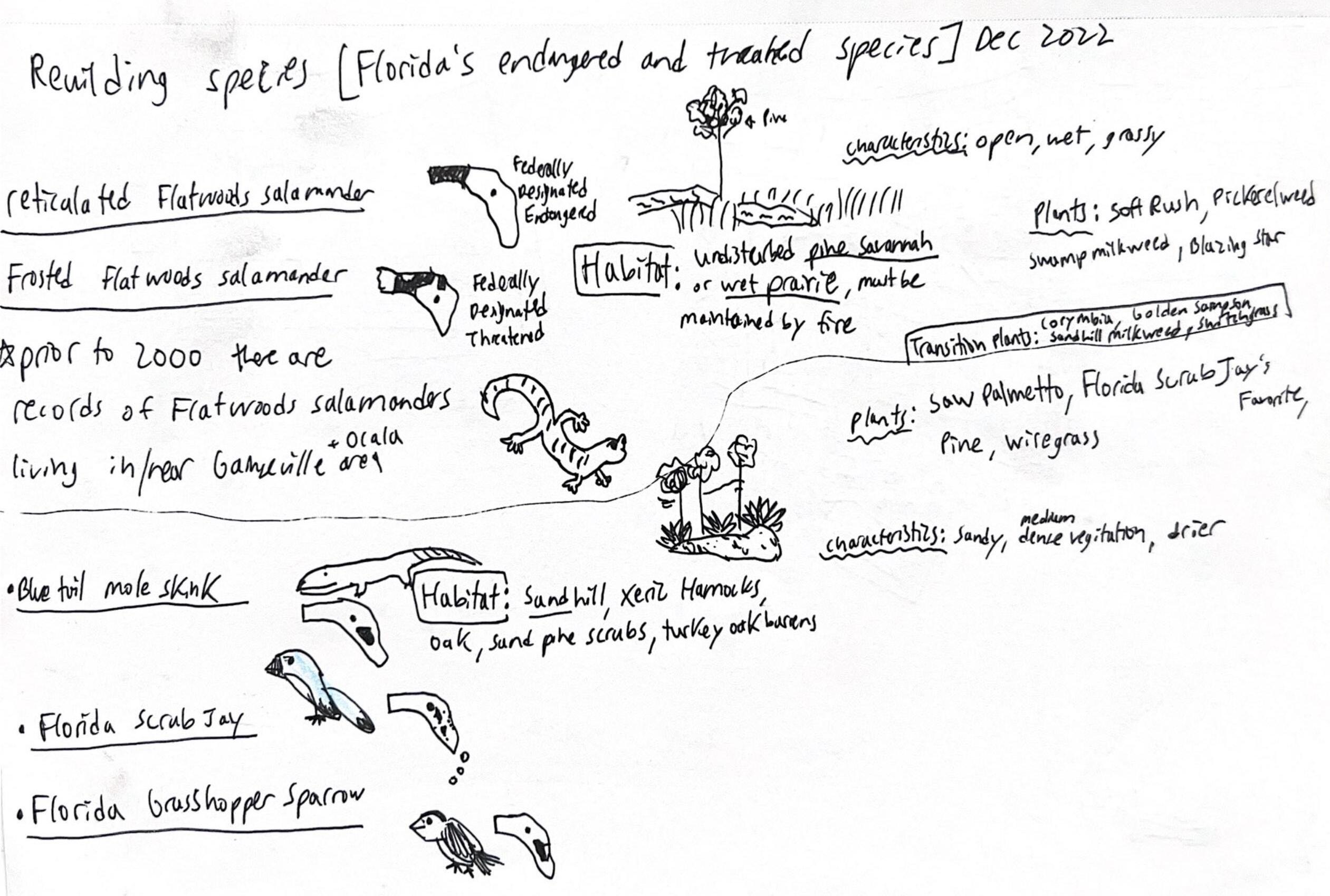
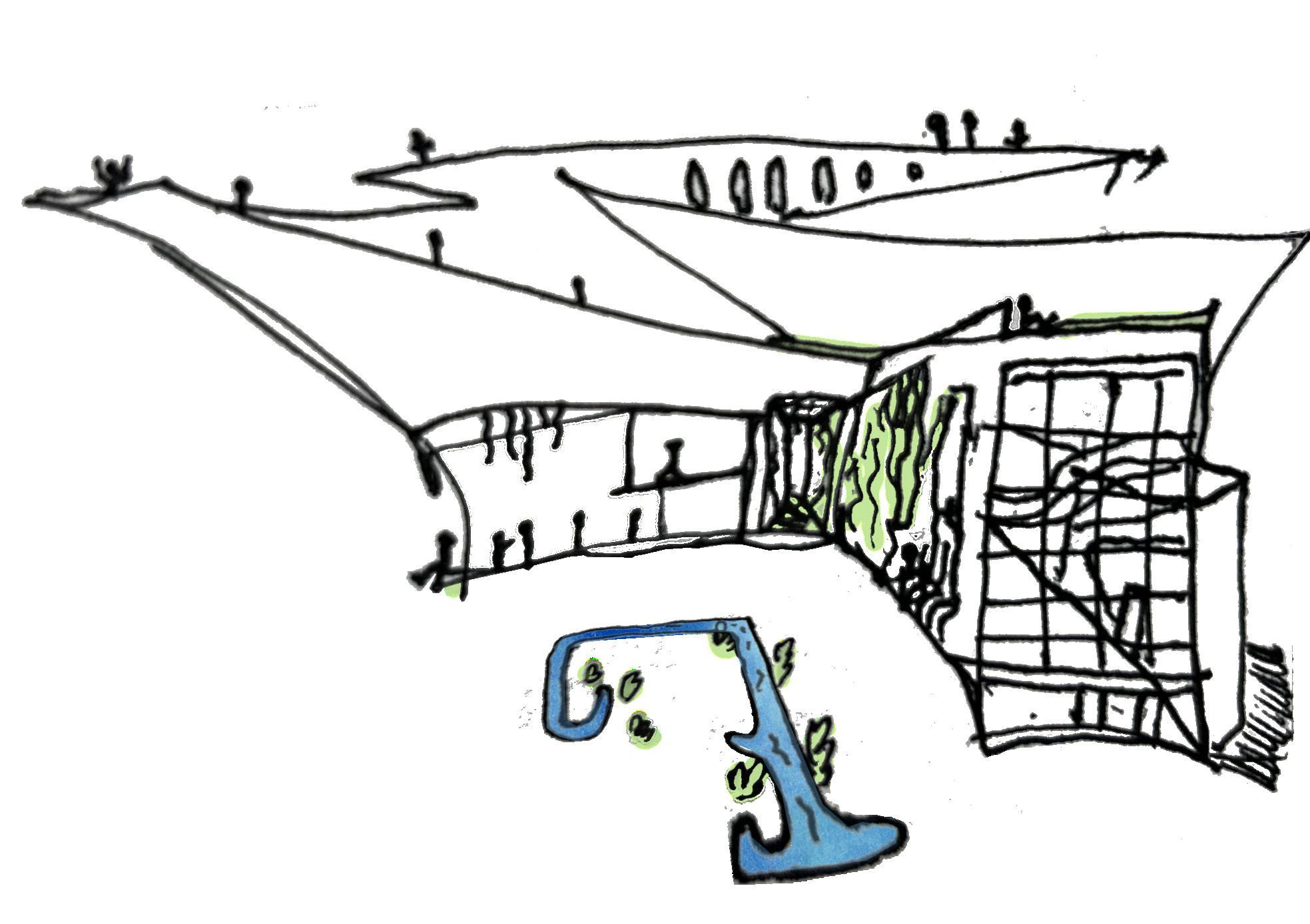
Florida Wilds park brings the city together by creating a visually beautiful park that preserves native species, teaches visitors about them and their habitats via the ecology center, and promotes exercise/recreation and exploration.
The park will extend from the wetlands on the site into the scrub forest. Along the street edge it will include 400 meters of recreational fields, 2 miles of cross country course and trails and a grass stadium.
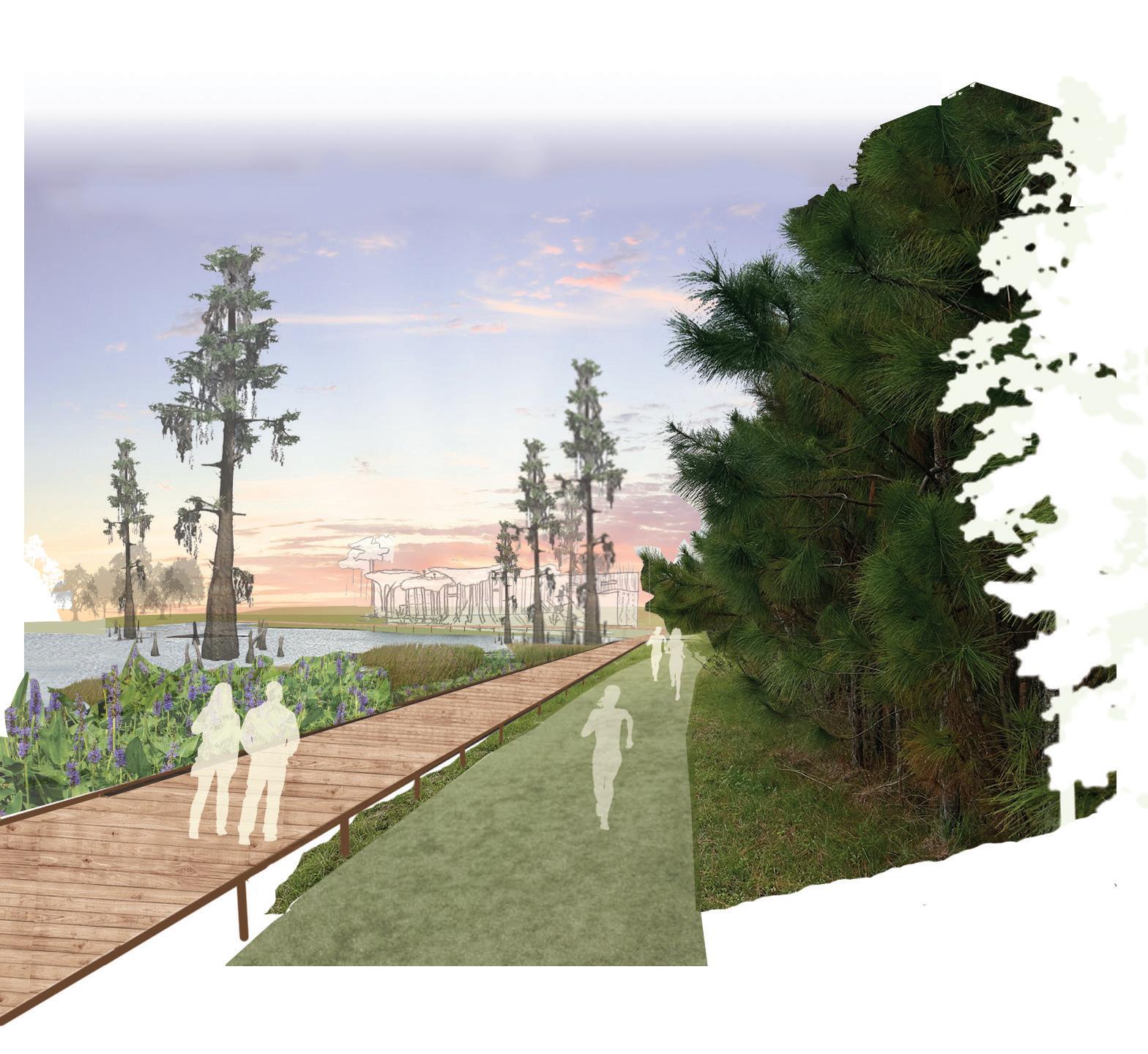
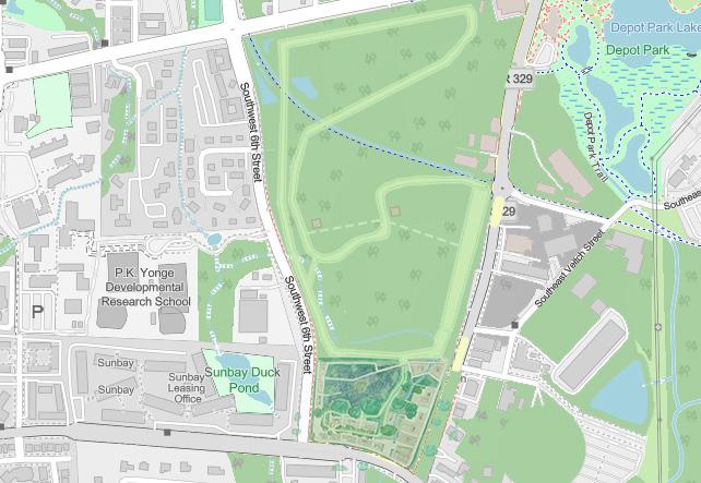
BELOW: Connectivity of natural and built systems in site plan

S. BELTON
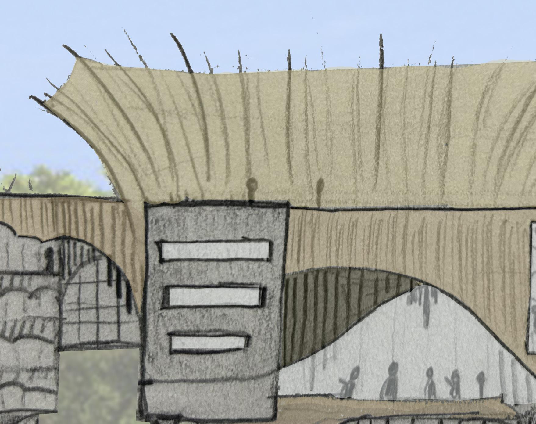
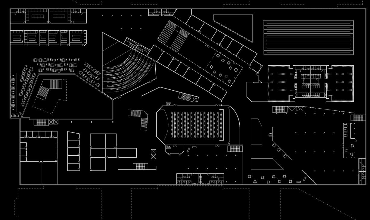
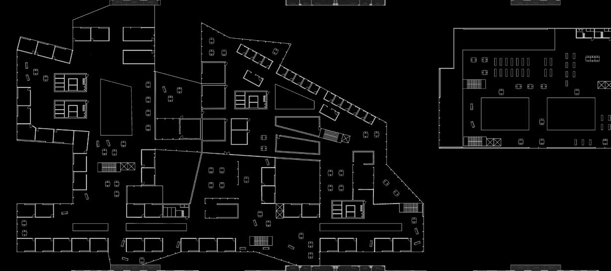
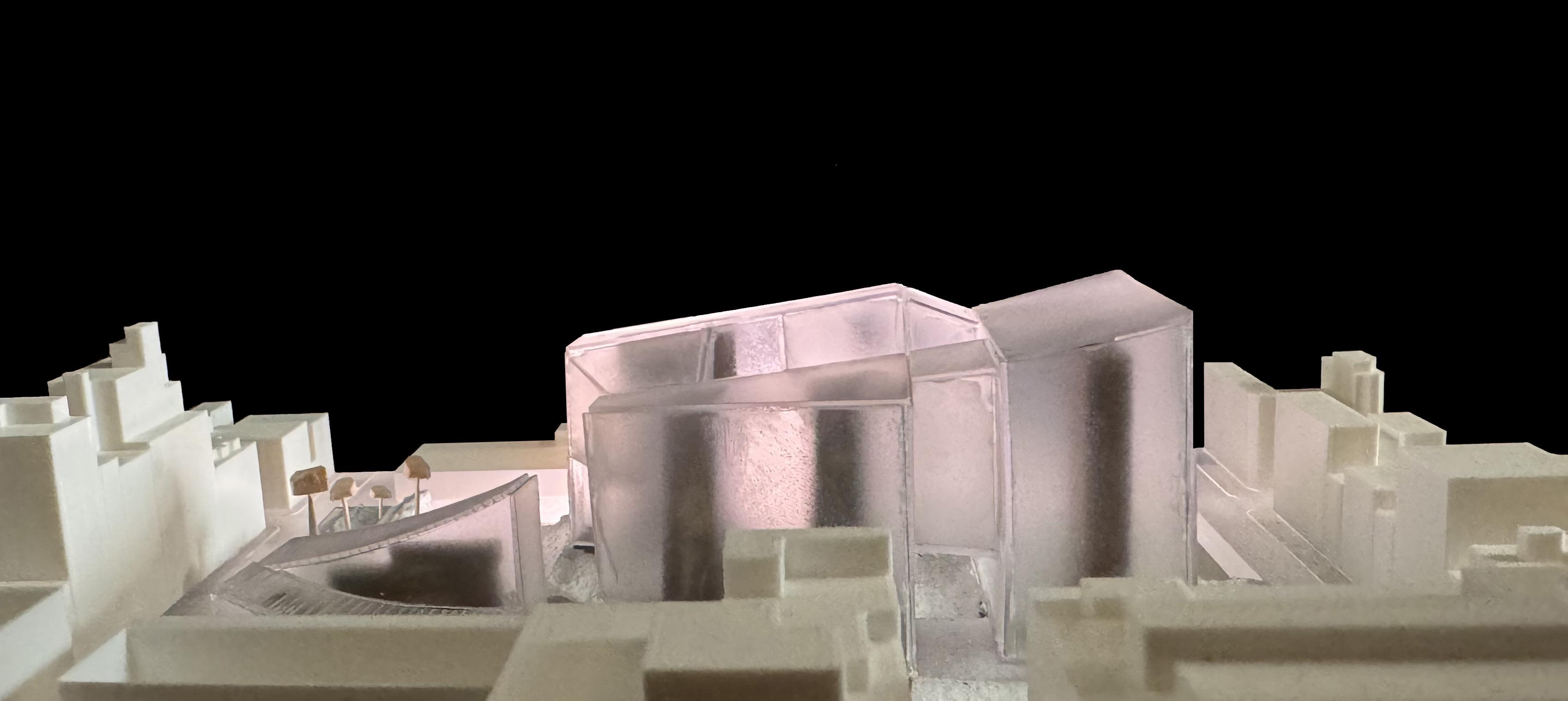
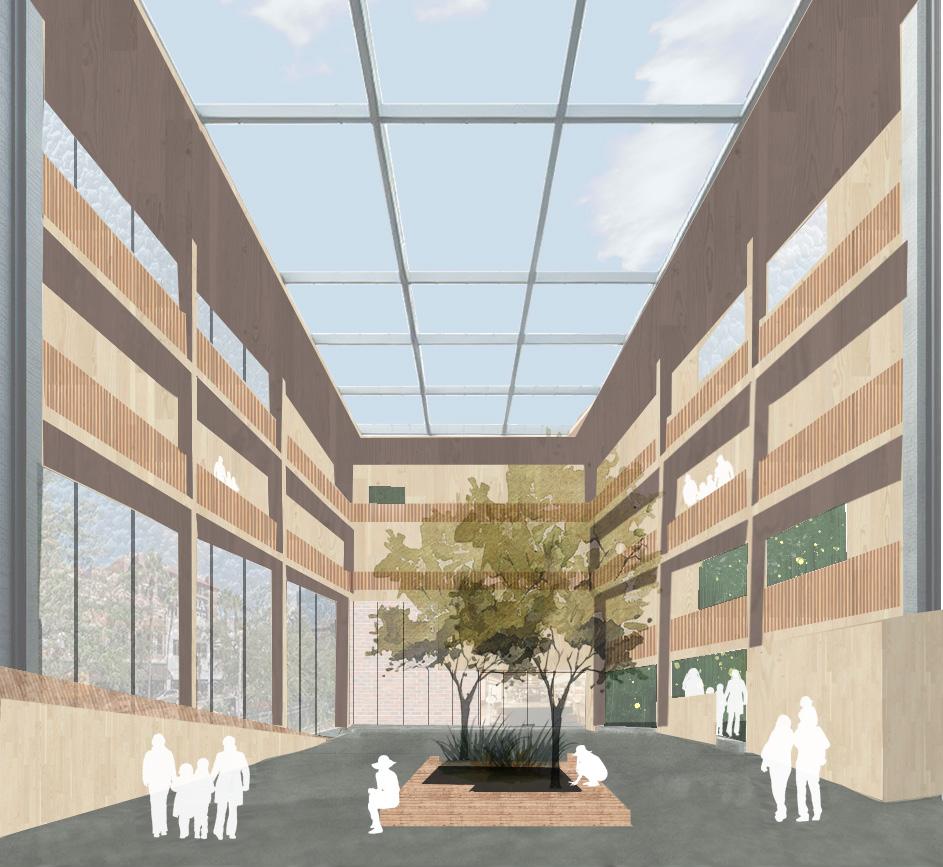
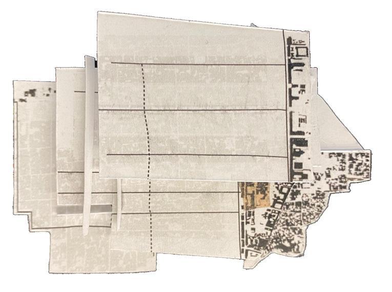
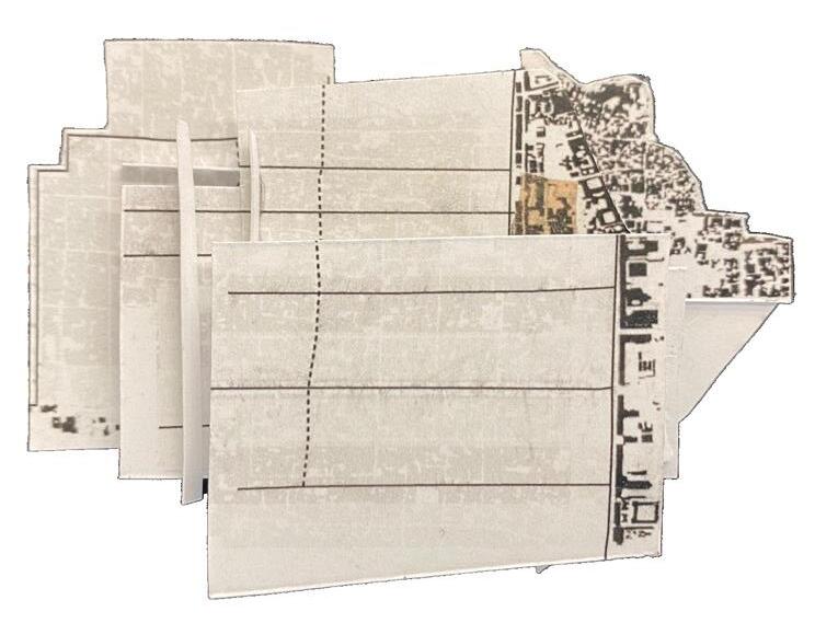
A vision that connects the students and residents of the NYU area together in order to create a sense of community and increase the quality of life in the area. Ground and building design reflect this method as they peel theW ground up or down around them to pull viewers into connective spaces that engage them with other members of the community.
Boundaries are blurred between what feels separate. Student and resident, public and private, earth and city while giving each freedom of movement to be itself or to discover and become something new.


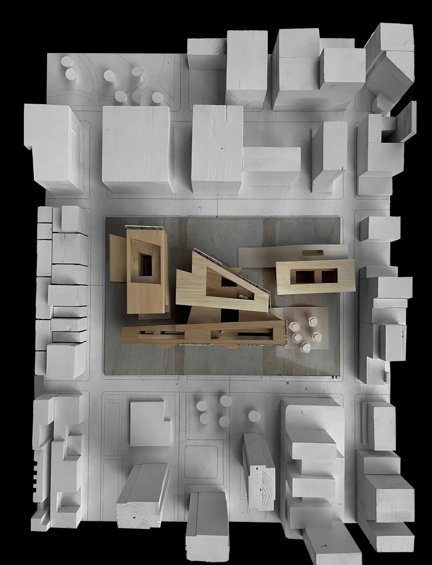
ect
ate a

PROFESSOR M. MONTOYA
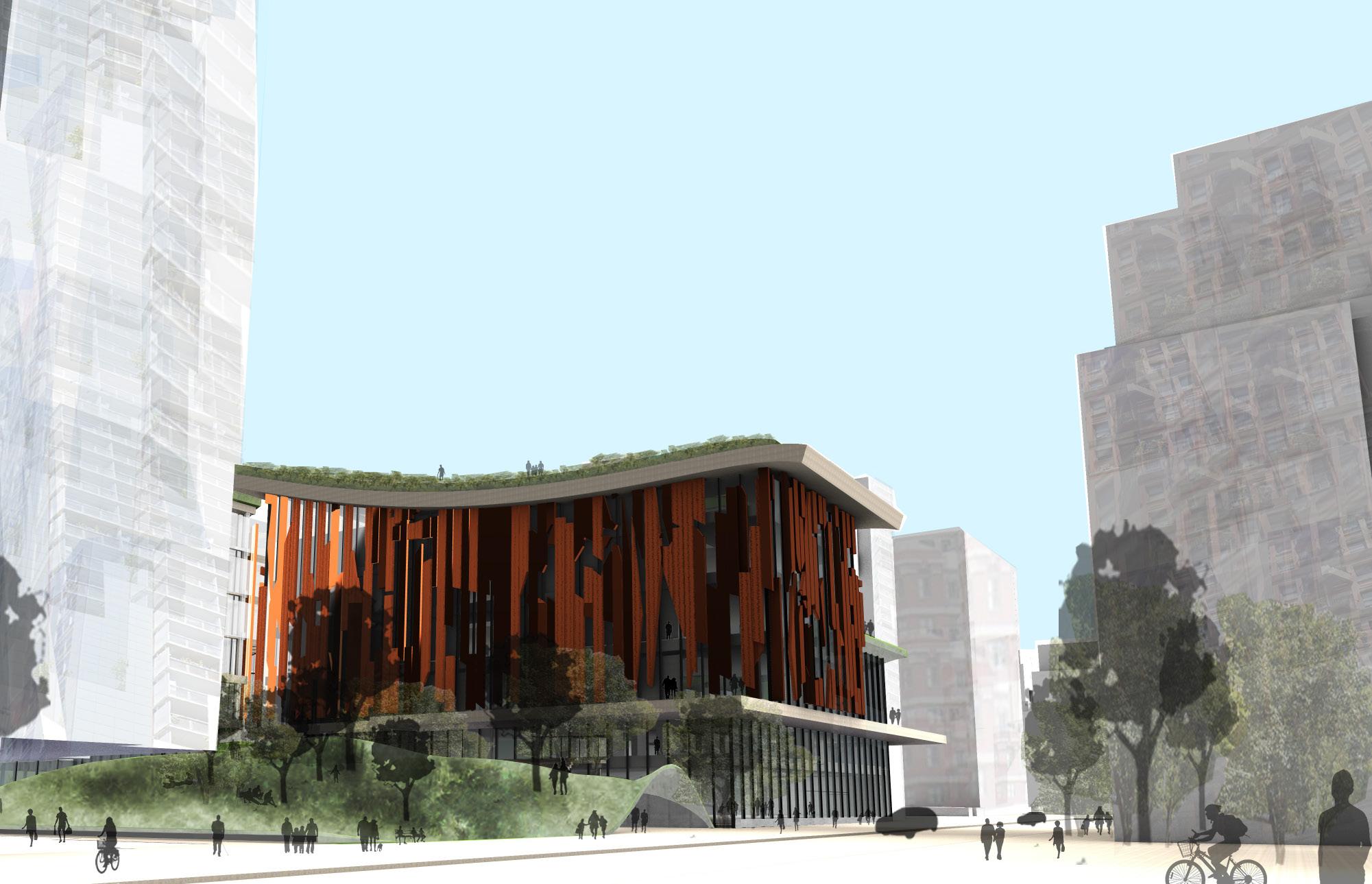
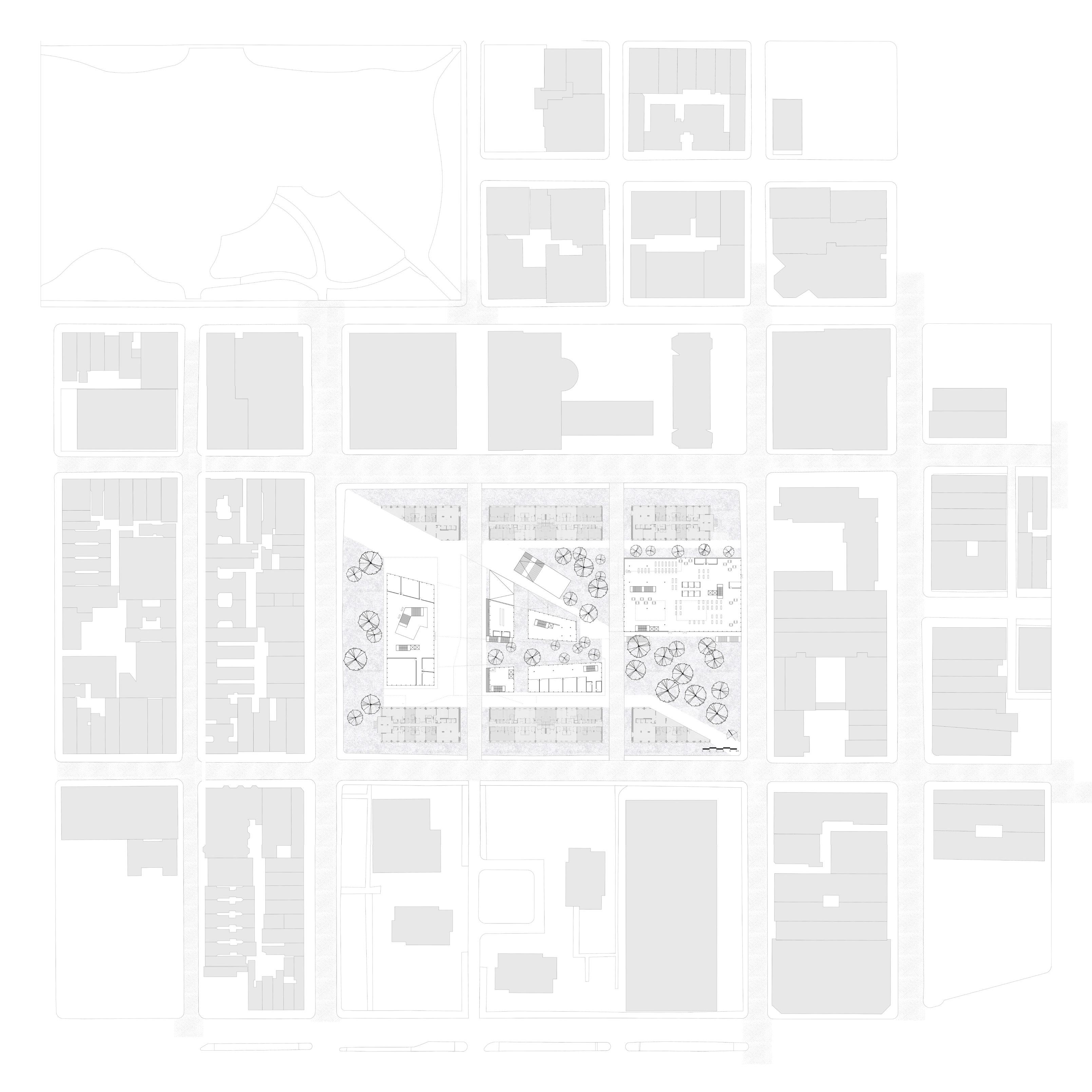
The sanctuary garden at the edge of Main and Bay Street is a converging node that provides for each member of the city. The east side of the building operates as a transitional housing for the homeless and at risk. The west side of the building is a botany and ecology museum with programs and areas for children, teens, and all adults. These two zones are joined together by a system of gardens that reach down to the street and weave through the building at multiple levels.
3rd Level plan: The gardens connect to the street and join spaces together within the building

PROFESSOR J. LINDSEY
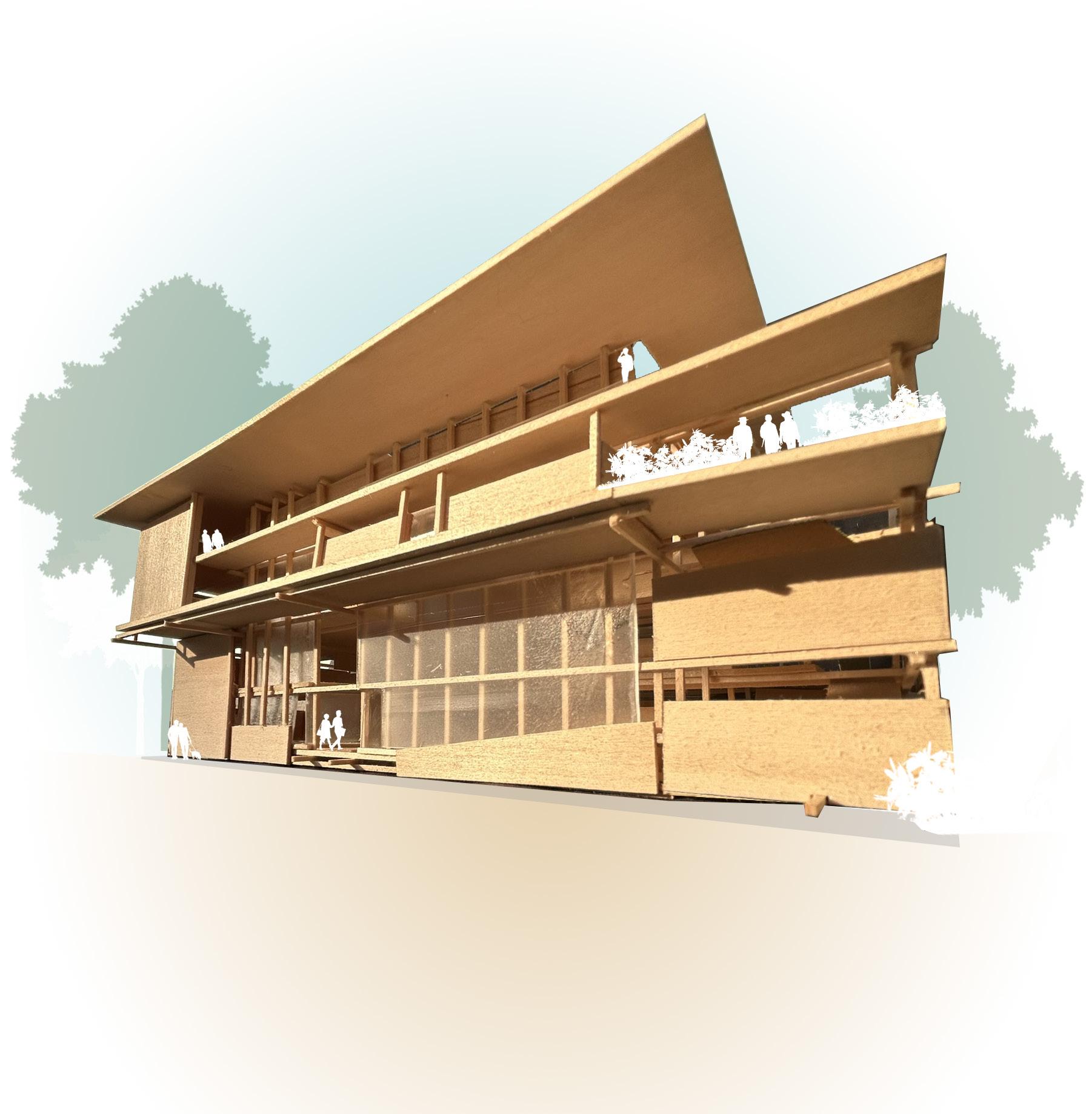
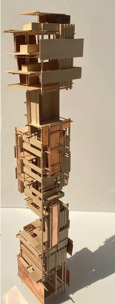
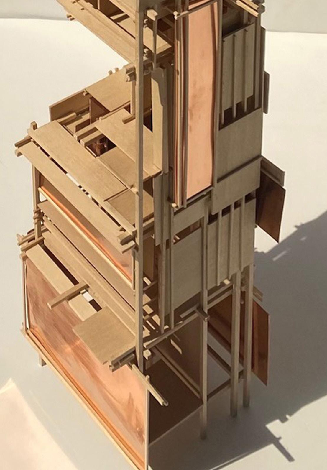
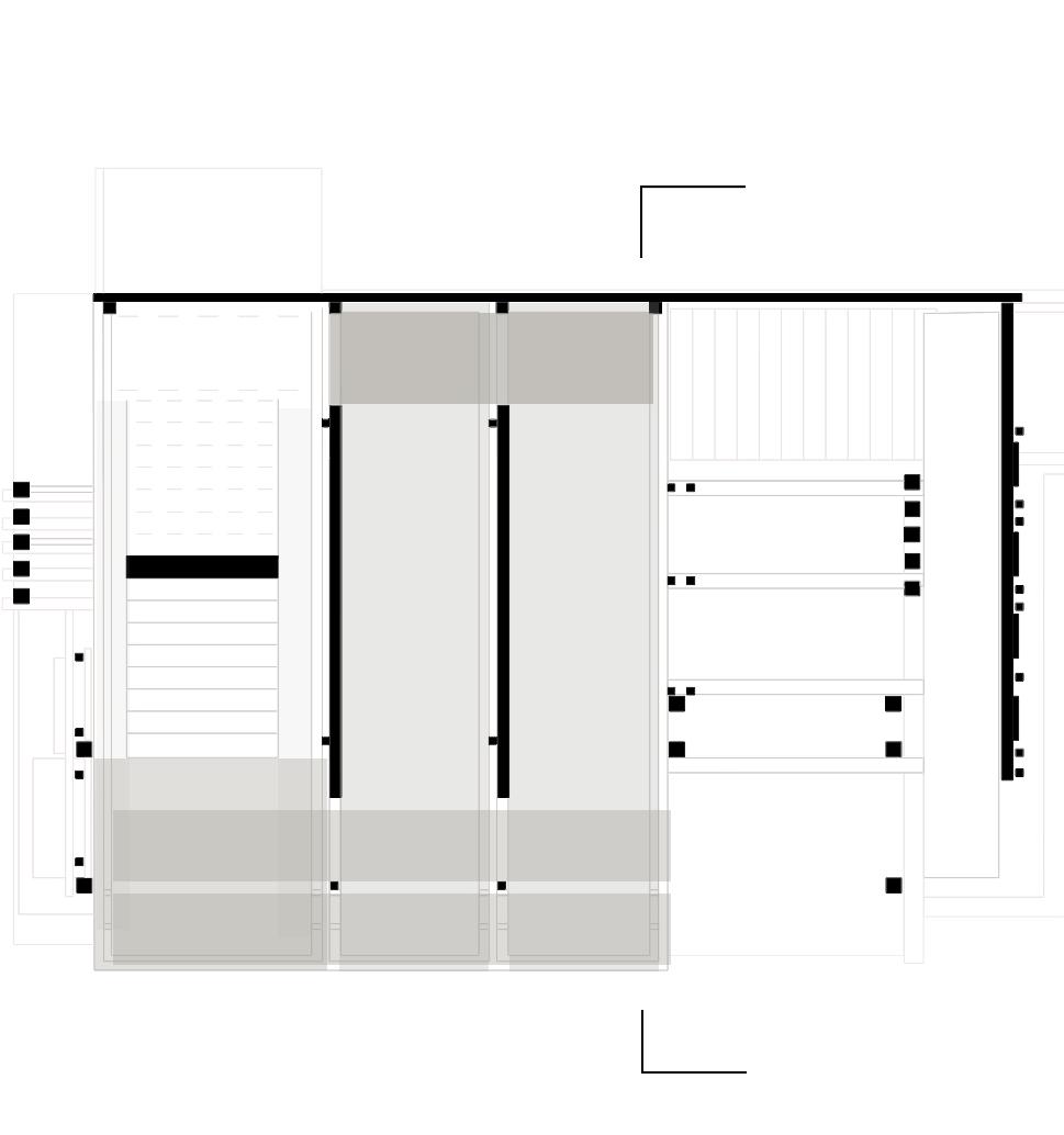
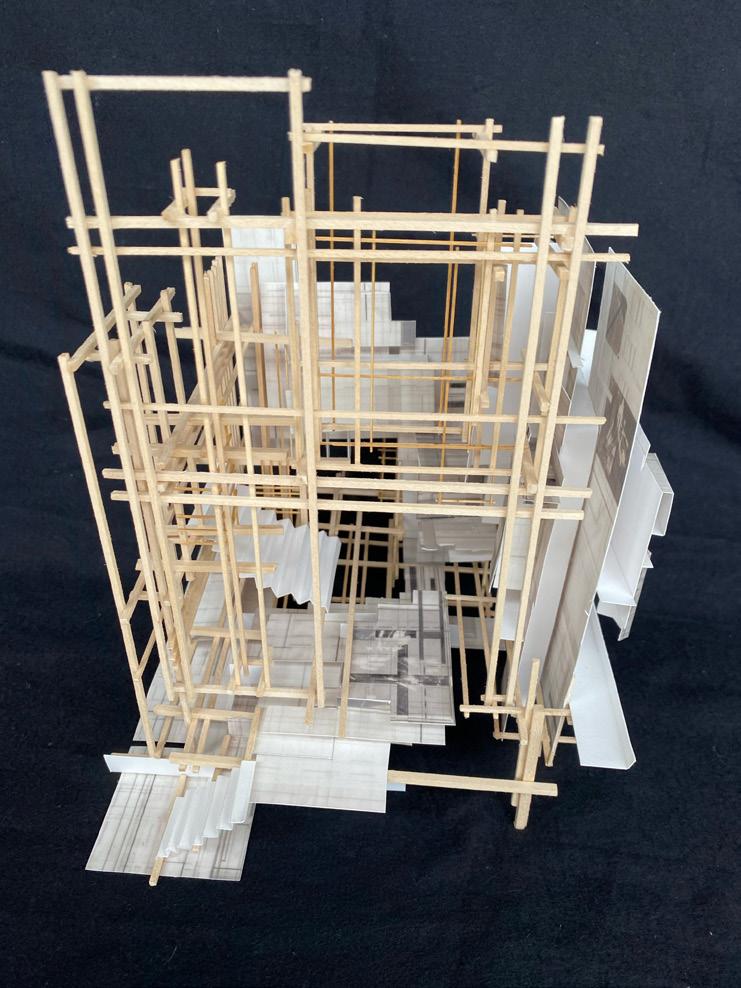
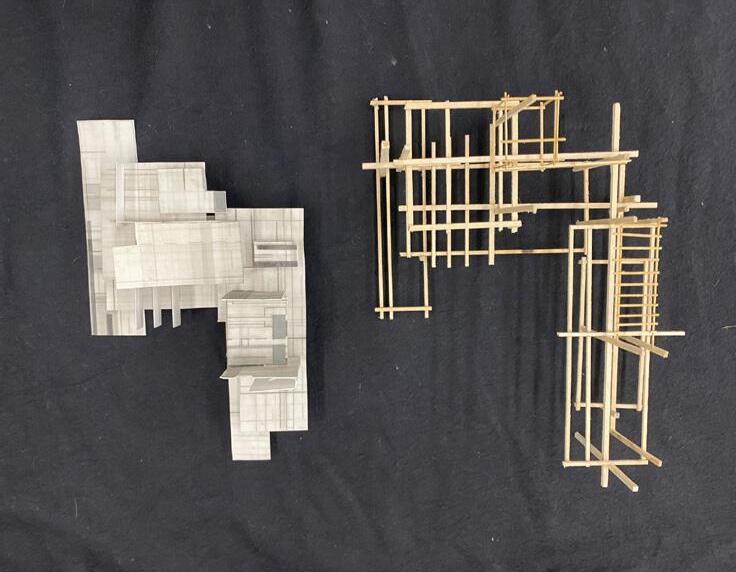
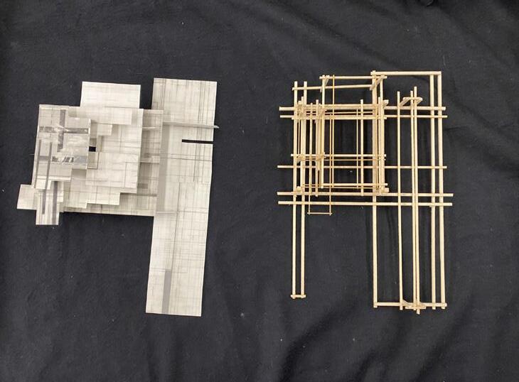
The Copper Tower is a medical facility that connects three stages of a medical prosthetics facility for athletes. These zones used the words palimpsest, balance, and calibration to guide their design. These words represented the spaces for manufacturing, medical evaluation, and testing. Through collage of various metropolises from around the world, a datum representing cultural fabric was crafted. As to influ ence a connection with the sky that humanity has with the earth.

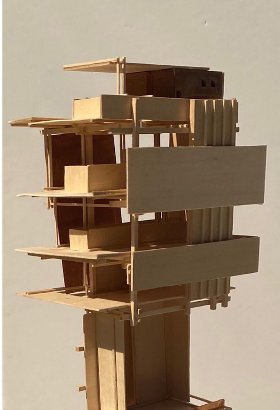
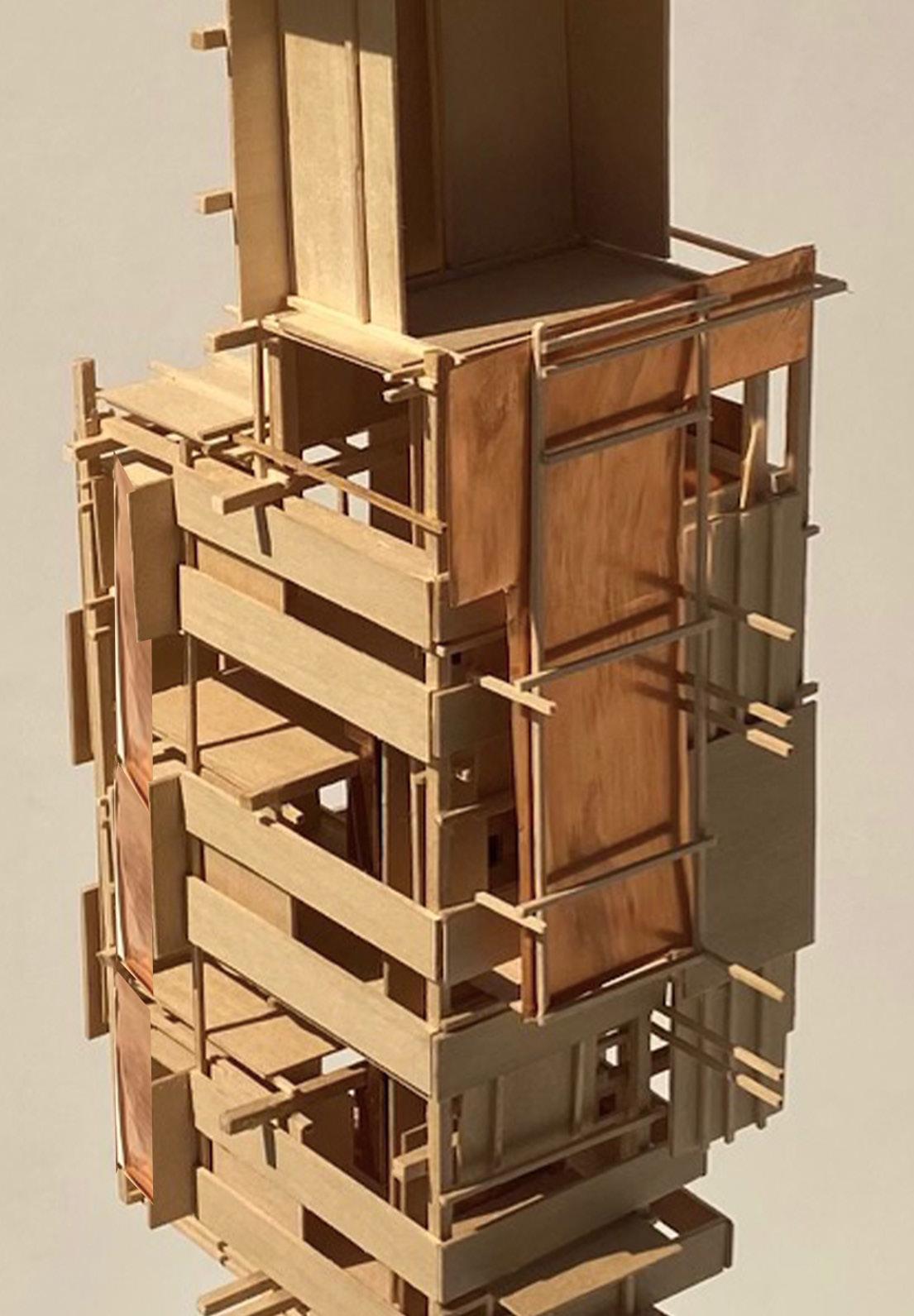


images of the protagonist’s circulation
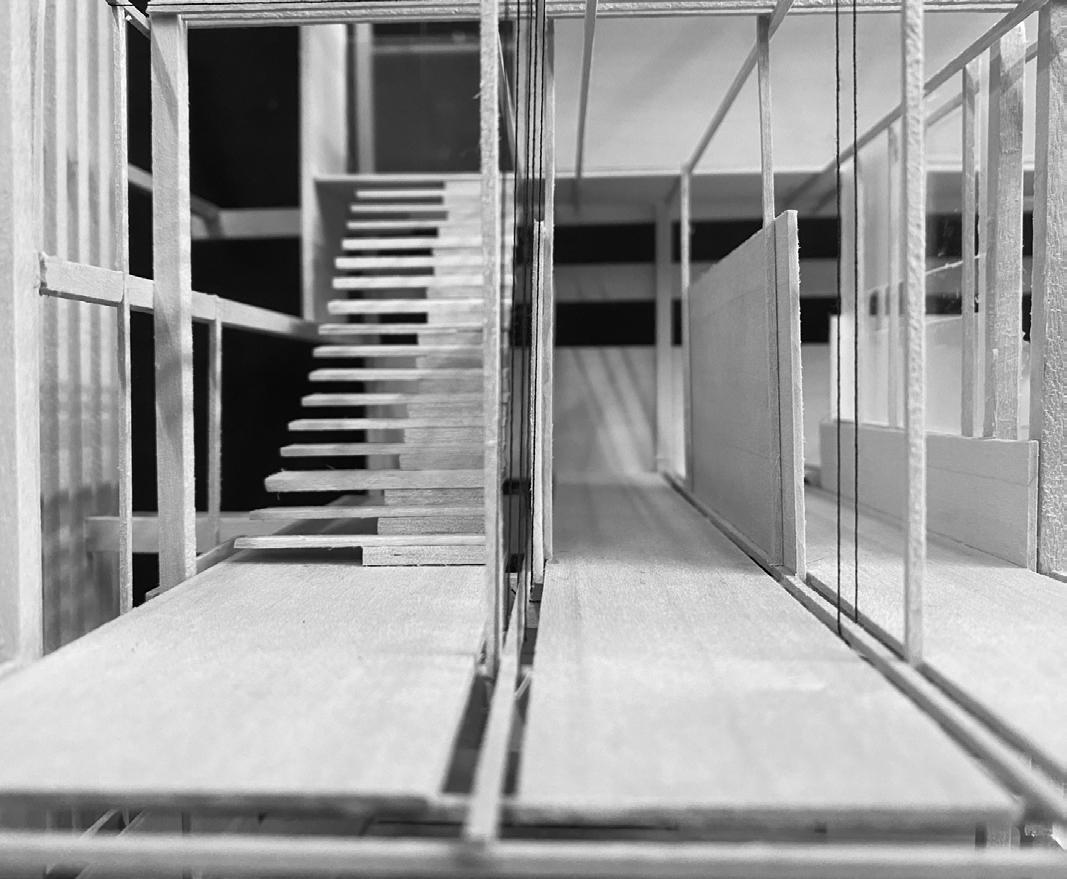
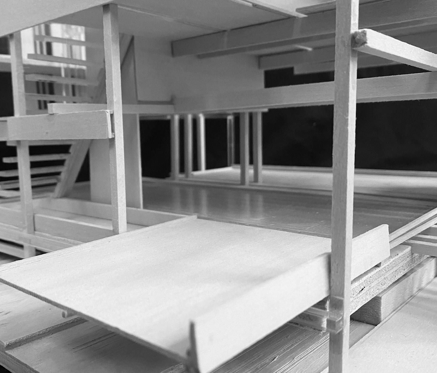
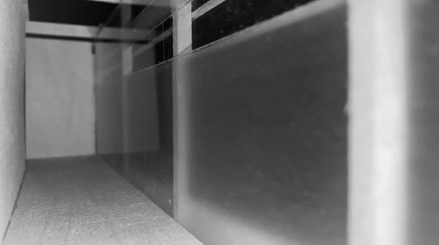
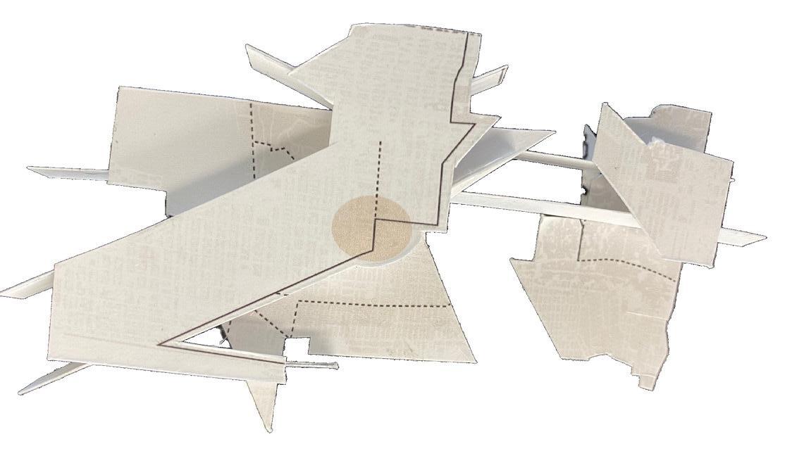
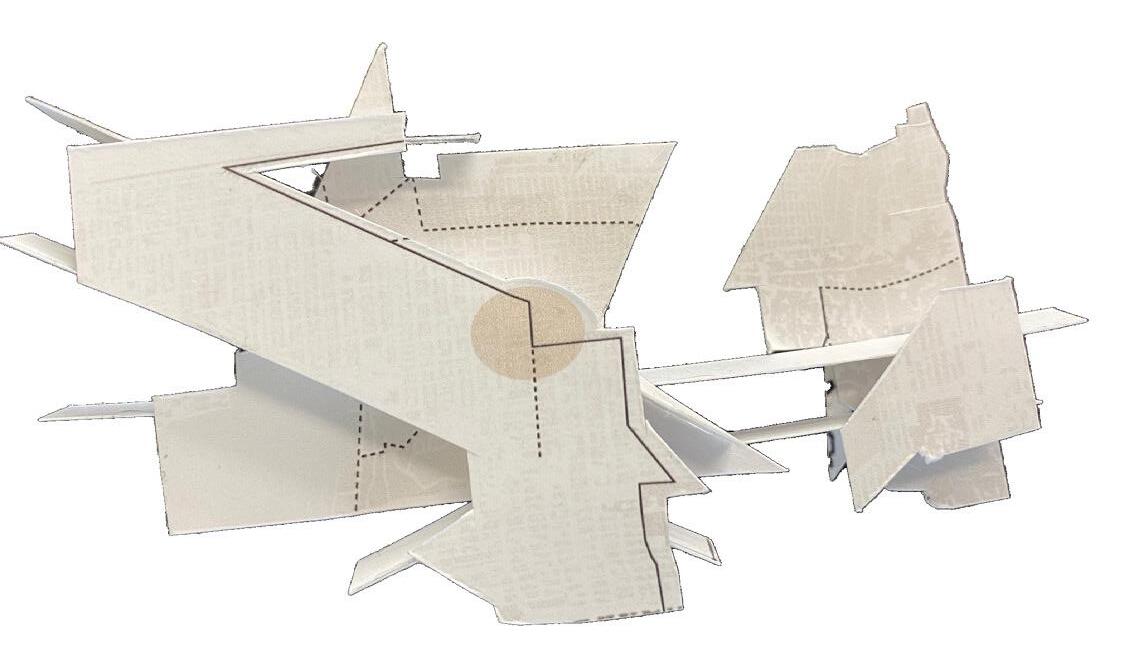
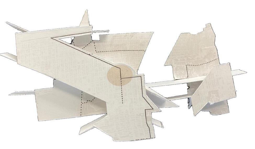
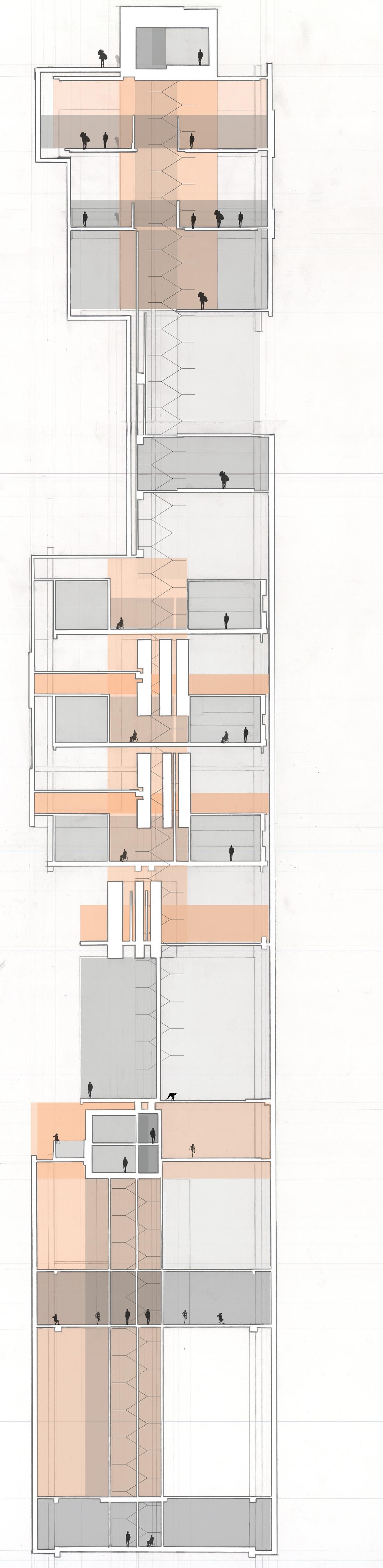
In the film Memento the protagonist does whatever he can to find vengeance. Limited by his own conditions, he will never grasp the true nature of his conflict. If he ever gets close, he is eternally doomed to complete his quest once again. As such, the entrances to the House of Sisyphus hover above the ground with no escape. The stairs lead to dead end, forcing the viewer back down to
alternating passageways that converge at a continuously start the same journey again.
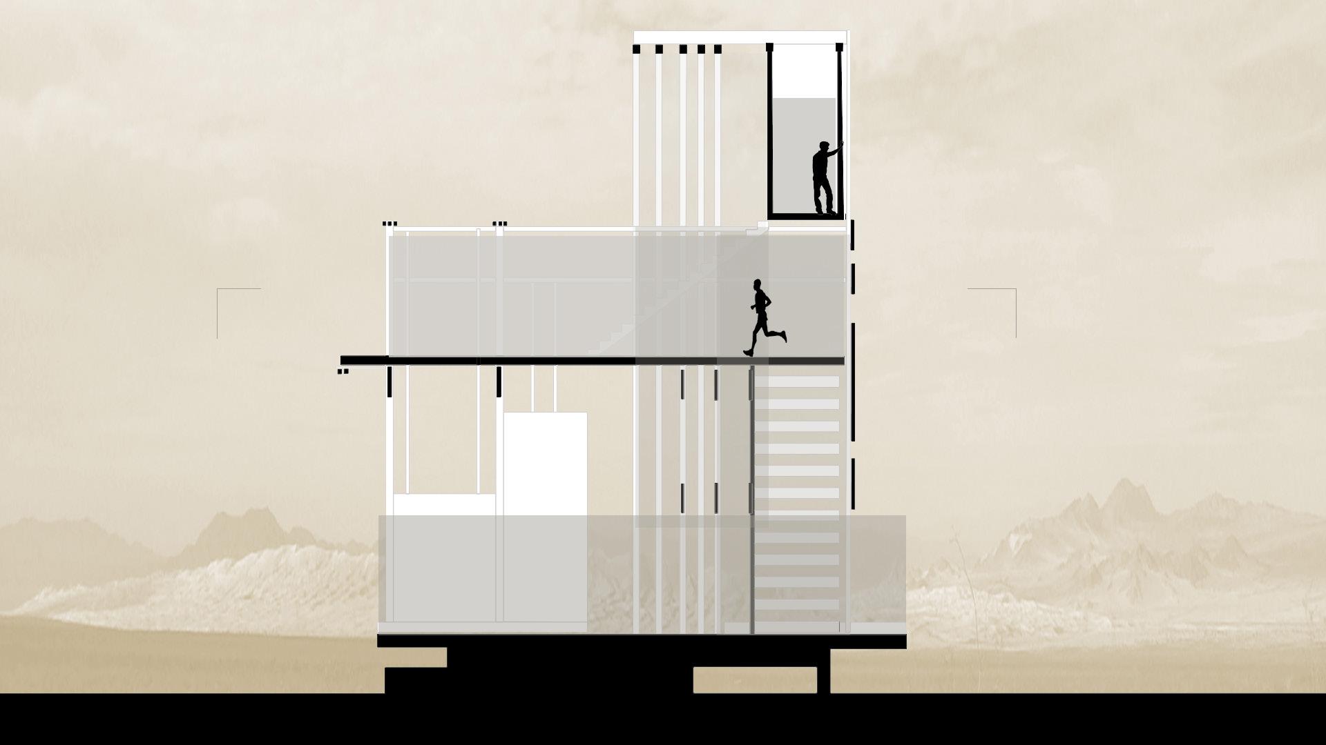
Plan drawing of second level ABOVE: Section drawing showing 3 main spaces
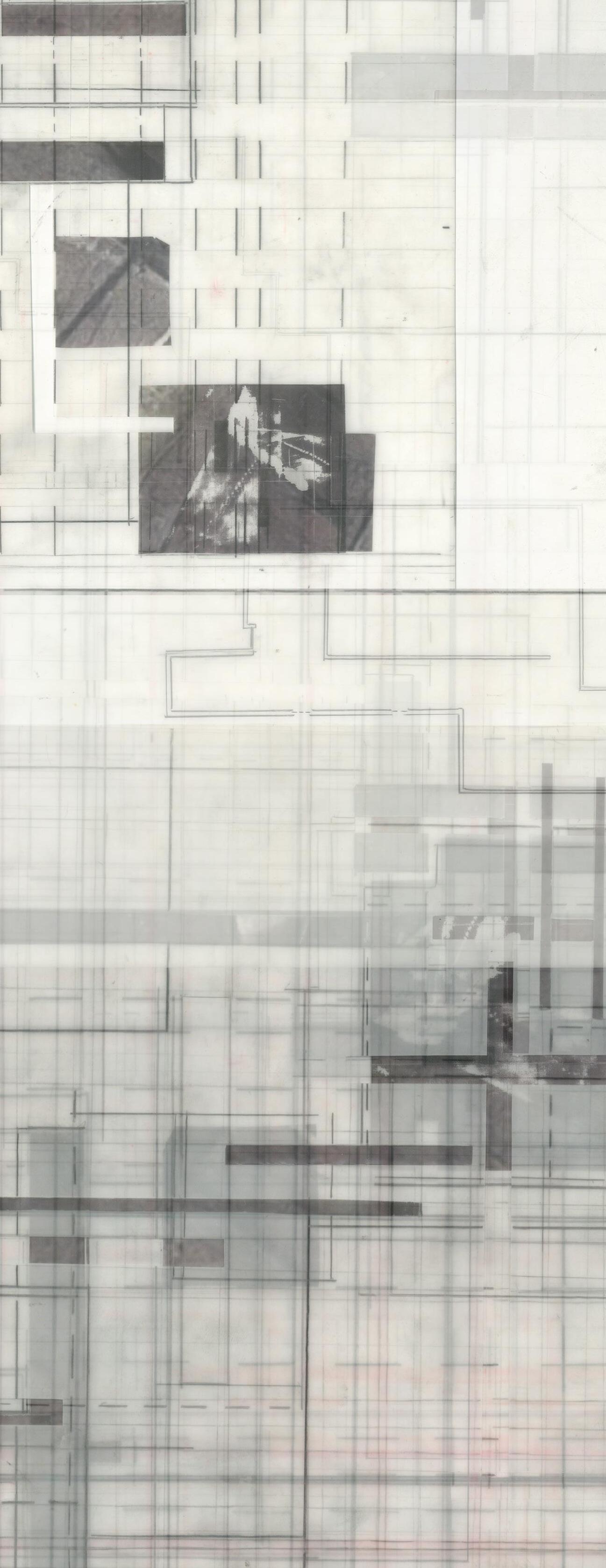
LEFT: A mapping of different events in the film. BELOW: The mapping was collaged 3-dimensionally to create a basic structure for the house.

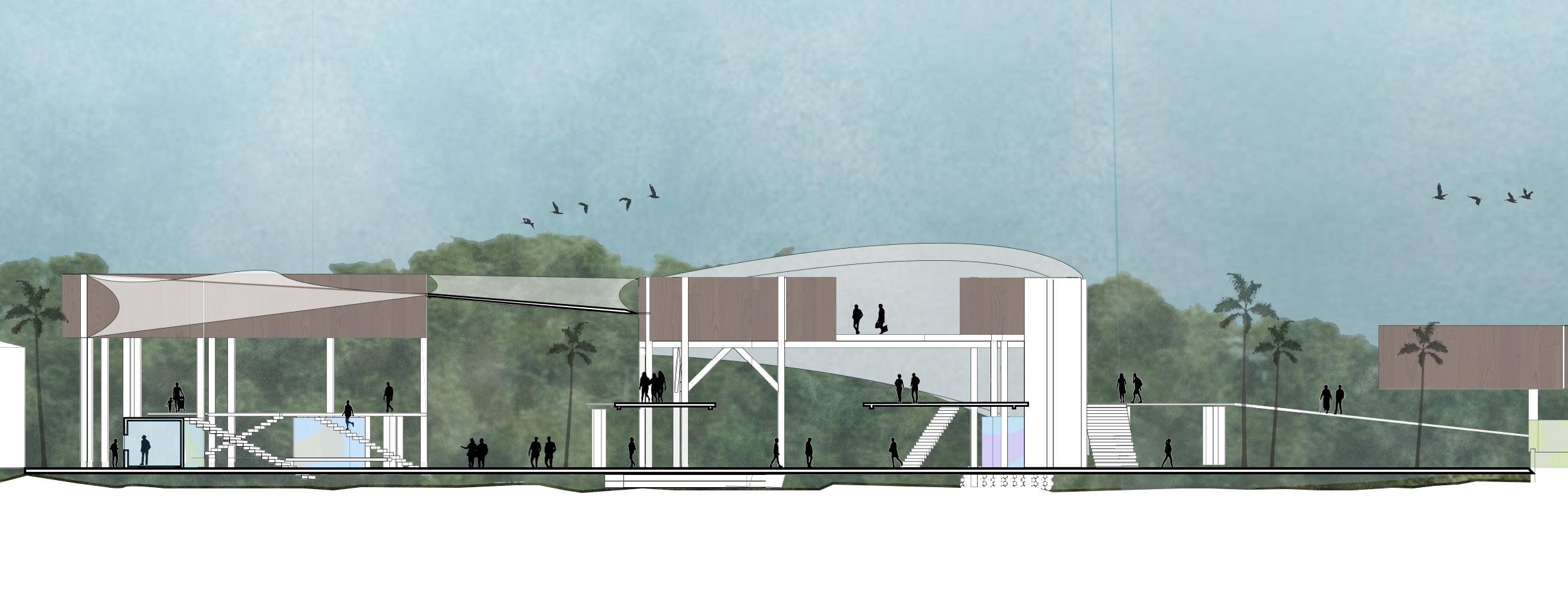
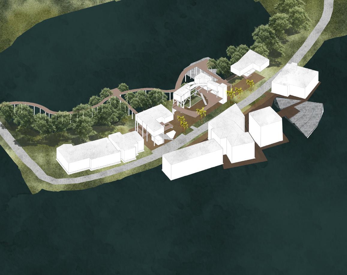
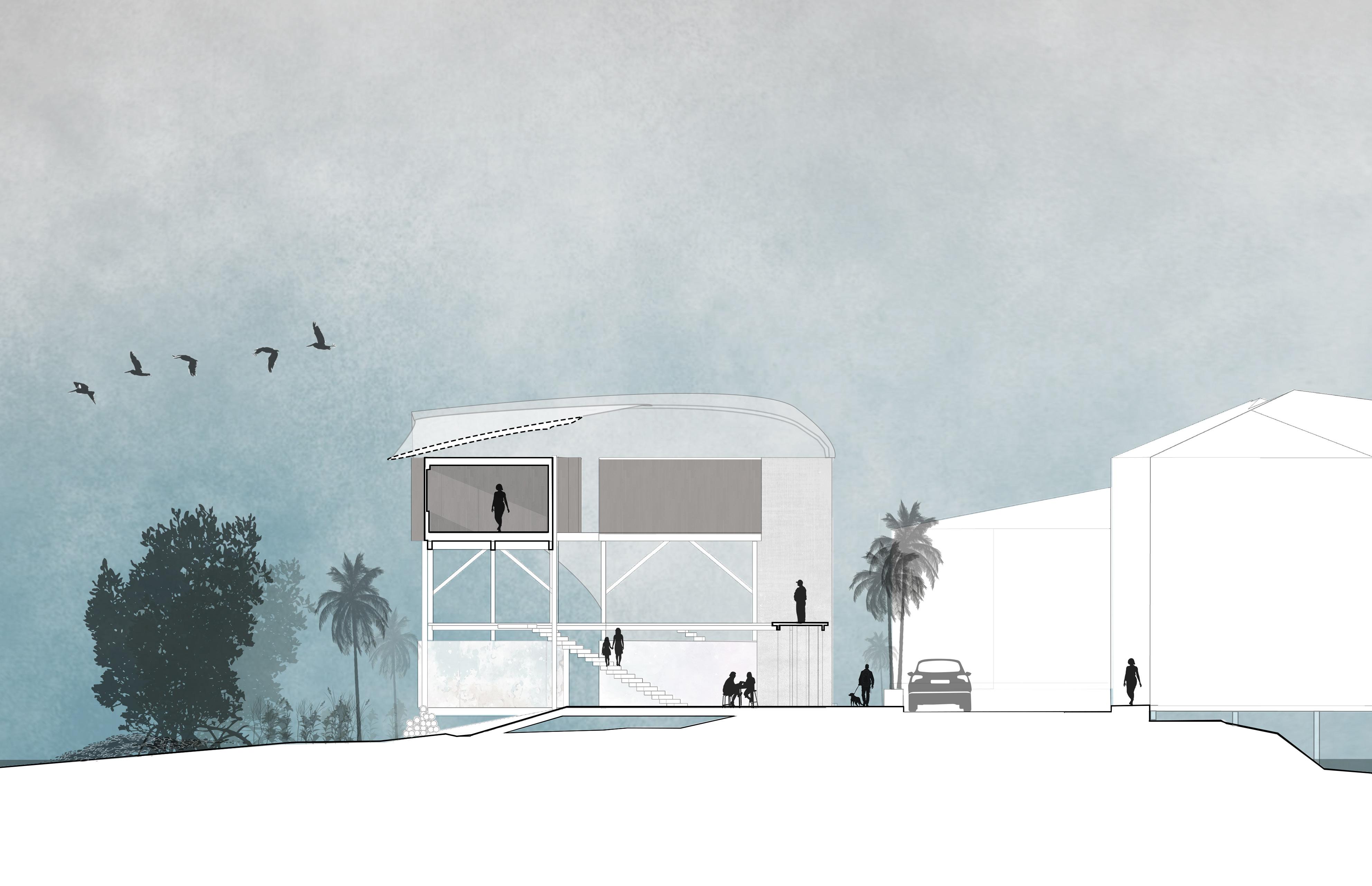
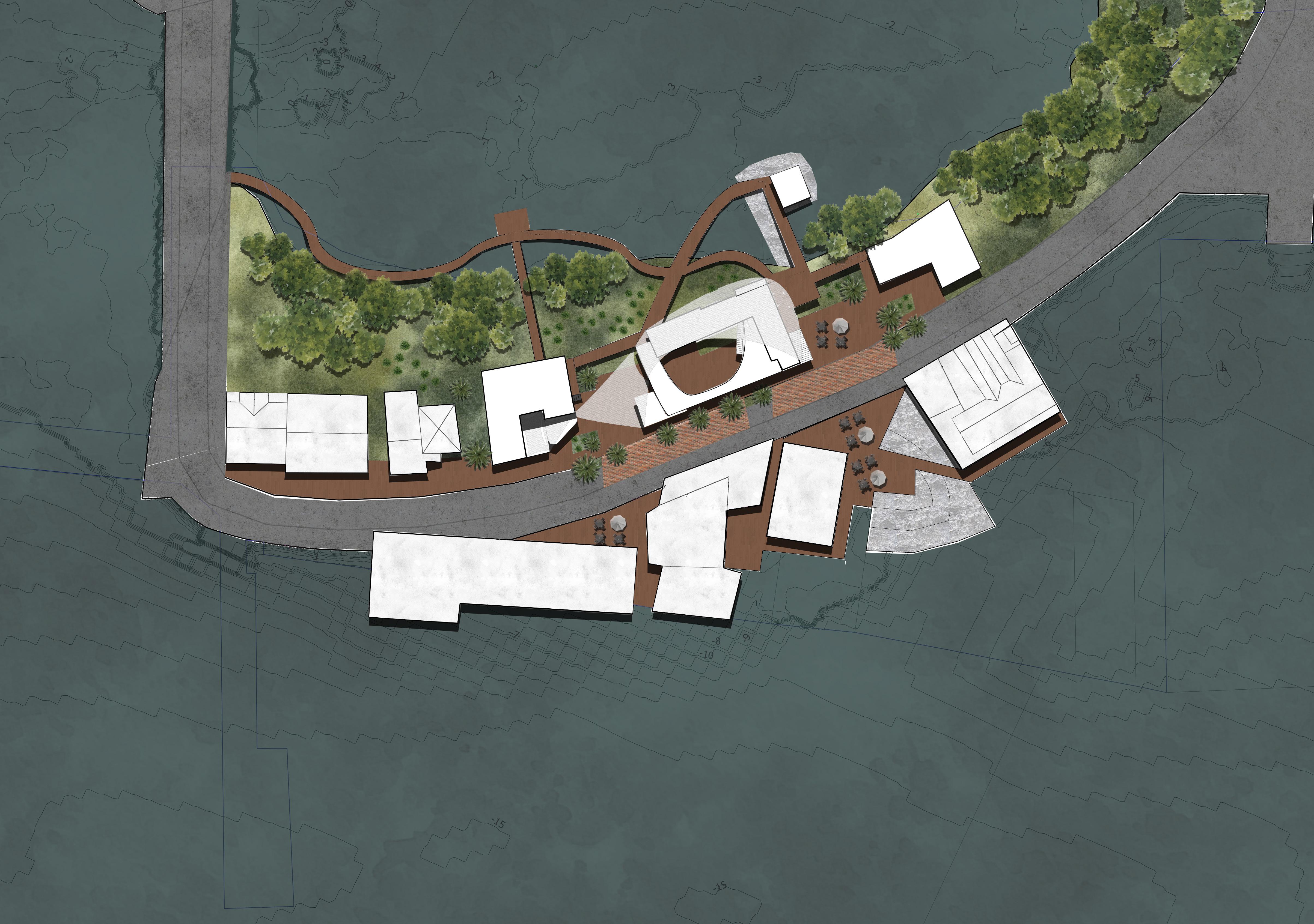
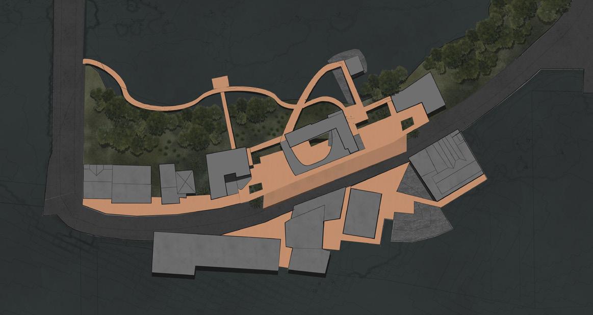
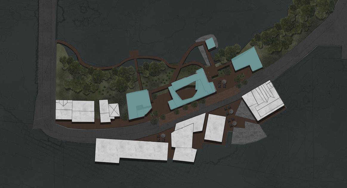
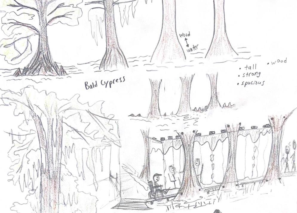
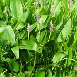
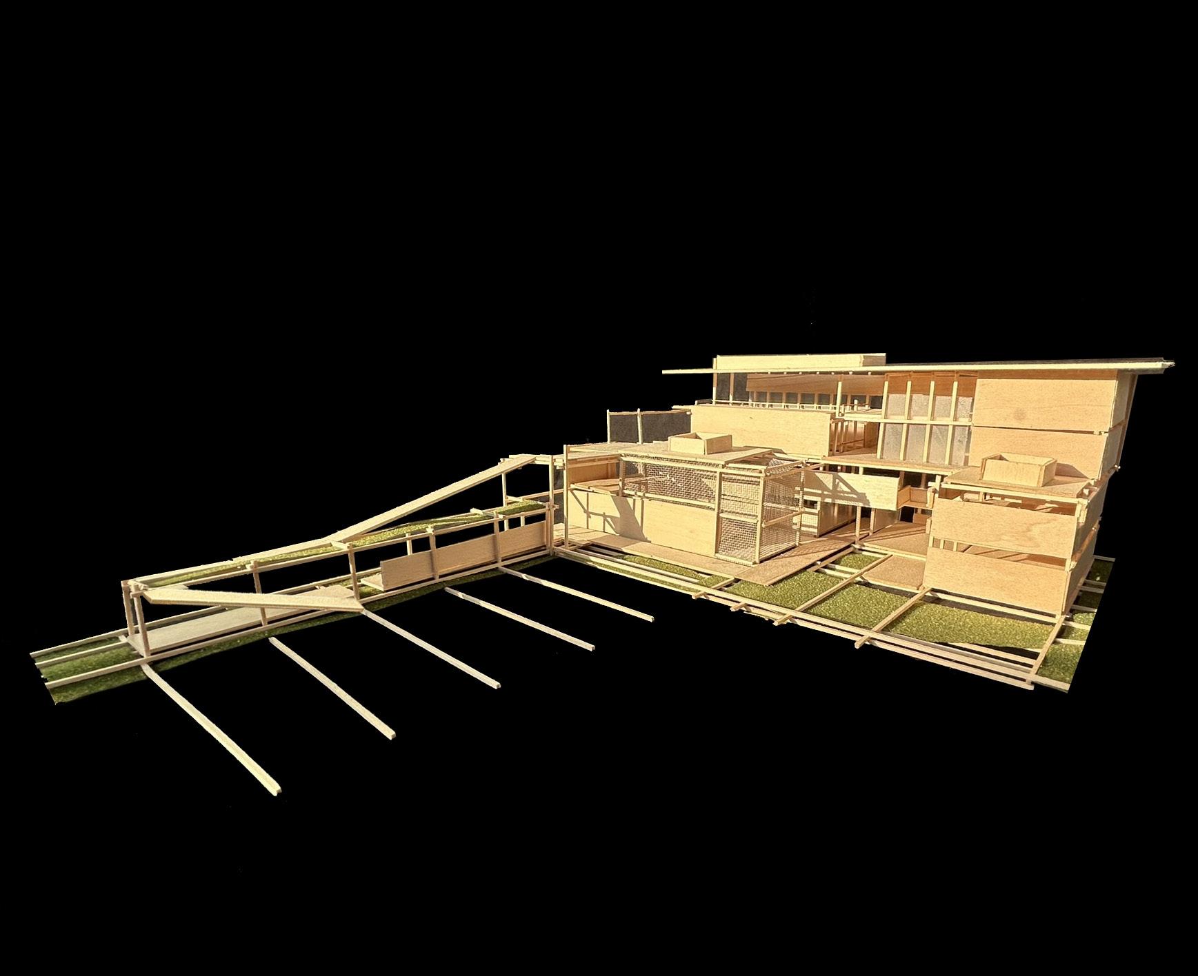
Each year, storm surge ravages the town of Cedar Key, destroying commercial and residential infrastructure. Mangrove Landing buildings establish a new connection with the ocean, allowing floodwater to pass through open public spaces. Through use of recycled material, small impermeable constructs maintain the street edge. Restoration of mangrove forest and oyster beds creates a natural wave buffer and creates a cultural space for recreation.
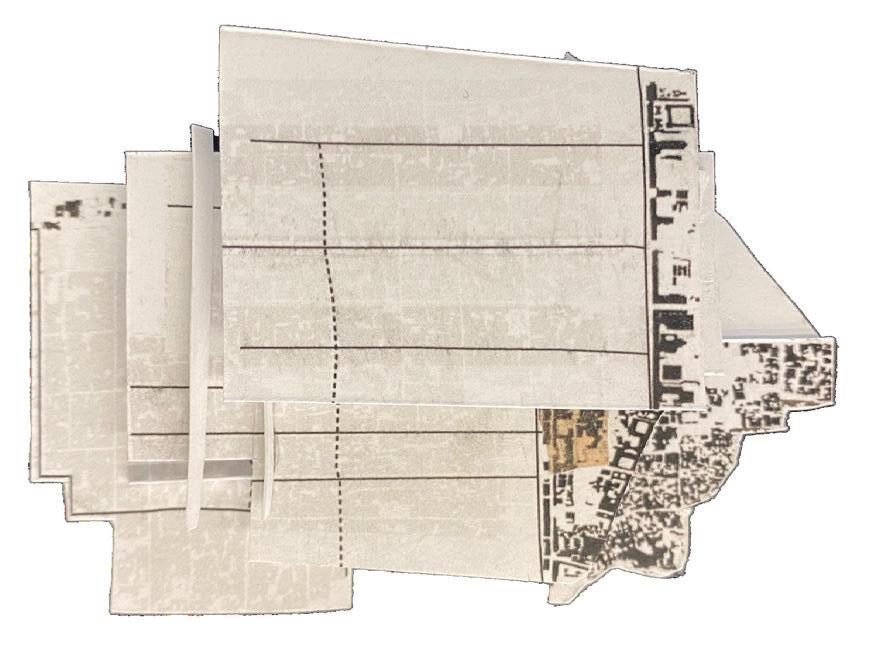
LEFT: Section drawing showing hurricane resilient architecture and connectivity between building spaces BELOW: Isonometric view of completed project