Sky High Bulls Eye Ground Control Points Made For Mapping
Sky High Bull's-Eye offers aerial targets for drones, GCP target mapping & ground control point markers. Use UAV surveying for high-altitude mapping.
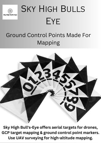
Sky High Bulls Eye Ground Control Points Made For Mapping
Sky High Bull's-Eye offers aerial targets for drones, GCP target mapping & ground control point markers. Use UAV surveying for high-altitude mapping.