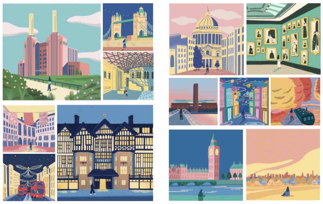
PORTFOLIO

Location: Shanghai, China (Project at Walt Disney Imagineering)
My responsibilities: Conducted qualitative, quantitative data analysis, spatial data analysis, developed strategies for future development
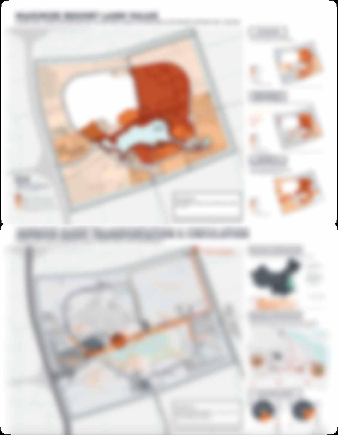
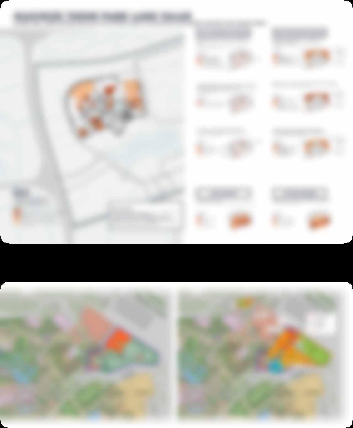
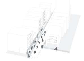
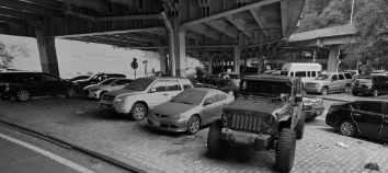
Site Design & Planning For A New Coaster
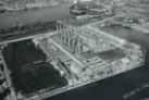


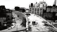
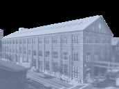

Proposal:

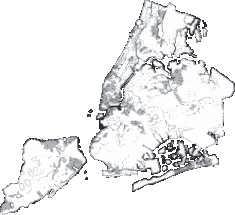
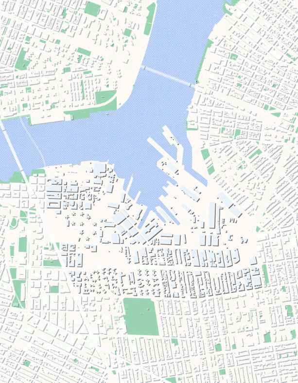
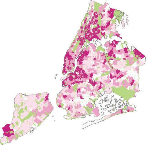
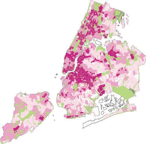
Assessing the patterns in gentrification based on spatial and non spatial measures in NewYork City for the year 2010 - 2015
Scholars have used multiple parameters to assess gentrification in the past which include socio-demographic characteristics, however, there has been limited research on the effects of built environment, described by spatial parameters. The built environment is critical in determining the urban fabric of the city.The influences can include access to opportunities, social infrastructure and location for economic transportations.Therefore, the research aims at understanding how spatial and aspatial parameters of a census tract explain the gentrification of neighborhoods containing them in New York City.
Parameters & Weighted Scores
- Age (% Change of People 25-34):0.5 - Education (% Change of People who are over 25 and have bachelor degree):1 - Race (% Change of White People):1 - Income (% Change of Median Household Income):1 - Population (% Change of Total Population):1 - Poverty (% Change of Poverty Rate):-1
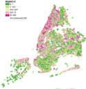
Weighted Scores
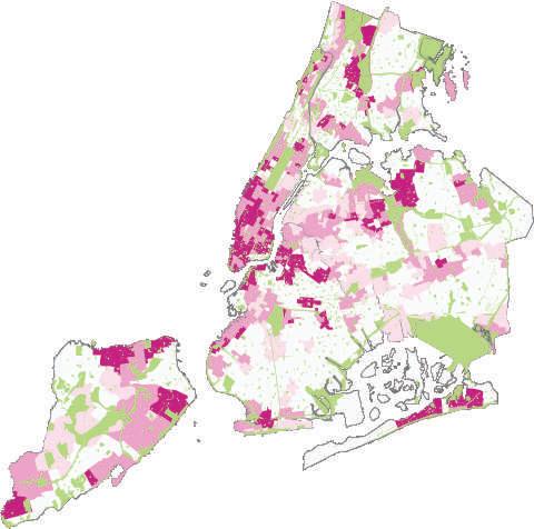
Weighted Scores
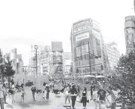
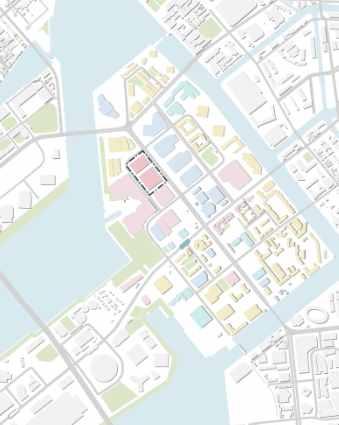
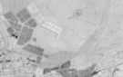
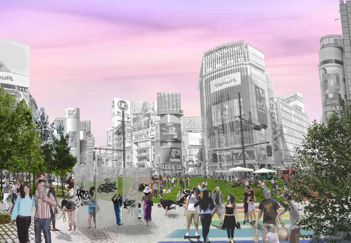
Location:Tokyo, Japan
Self initiated research project submitted to a global open call
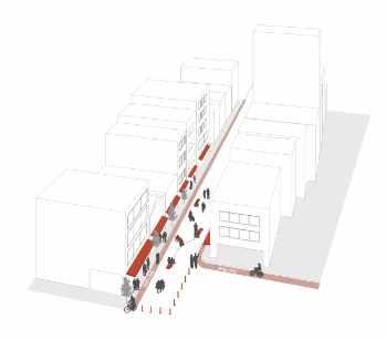
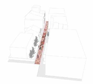
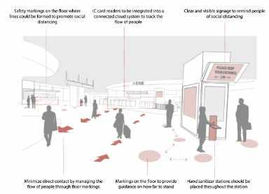
Pandemic architecture competition attempts to open up a dialogue and create a think tank, looking for ideas from the architectural and design community about the future of the living, the workspace, the public space and tourism industry. We proposed public space intervention based on spatial & social data analysis.
Take A Look At Tokyo
Surprisingly, population density had a negative relationship with the percentage of covid-19 patients.The lower the population density, the higher the percentage of patients, contrary to other big cities, like nyc.
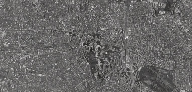
Areas with a higher percentage of
zones experienced a higher percentage of covid patients We must focus on commercial use areas and suggest design alternatives.
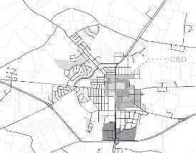
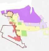
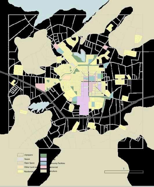
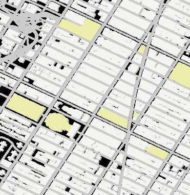
Hyposonics is 80 square miles (51,400 acres), whereas the planning area of the township is 12.25 square miles (7,808 acres). Almost one third of Hyposonic’s planning area is made up of existing agricultural land.
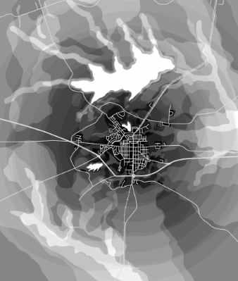
Land Suitability Analysis
The land suitability analysis was conducted using ArcGIS and followed a methodology of a weighted criteria decision model.


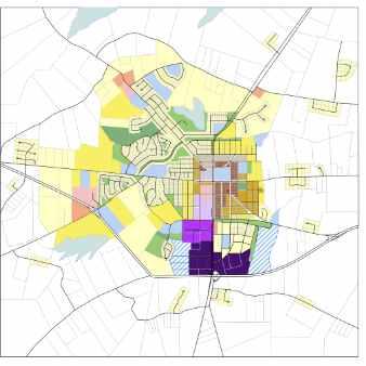
• Develop land near the center while preserving the character and affordability of
• Be attentive to neighbors and demand their equal access to our wonderful amenities
• Conserve the lush forest and open space that keep people healthy while thinking towards the future of climate change.

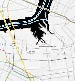
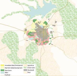
Community Land Use Design Map
Considering existing infrastructure, flood plains, and community facilities, growth was accommodated considering the previously done land suitability analysis.
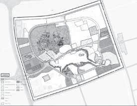
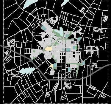
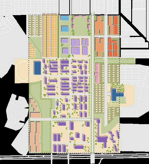
Small Area Detailed Plan
This map illustrates the existing developed areas, alongside how the City envisions the growth.

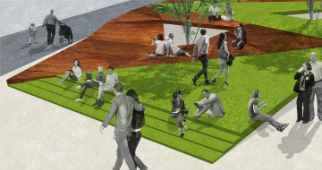
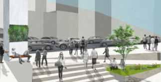
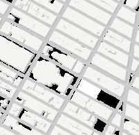
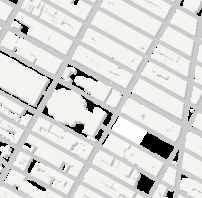
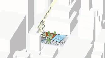
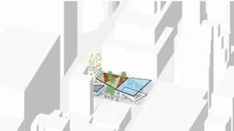
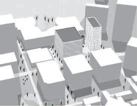
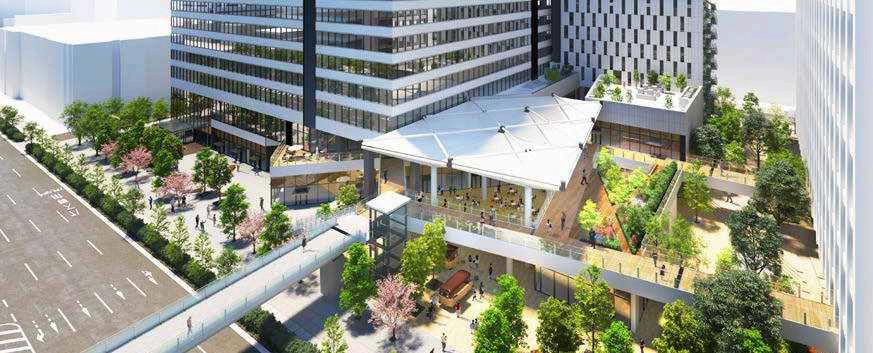
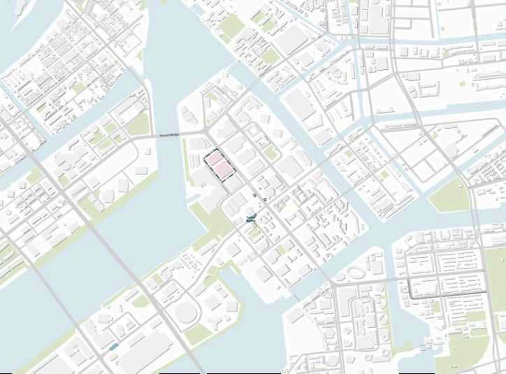
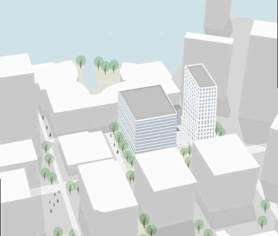
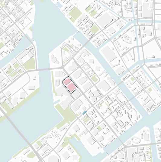
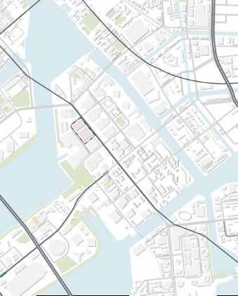
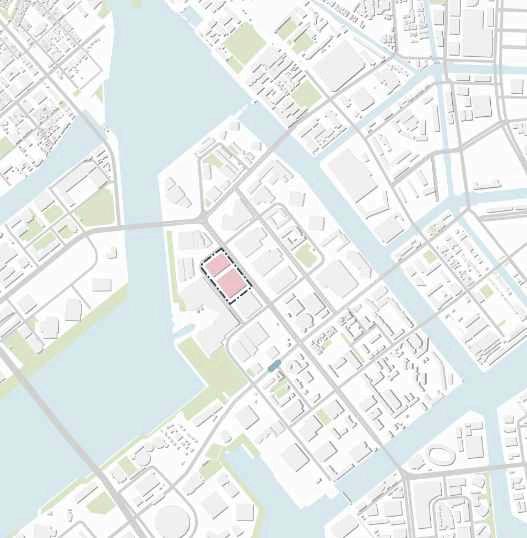
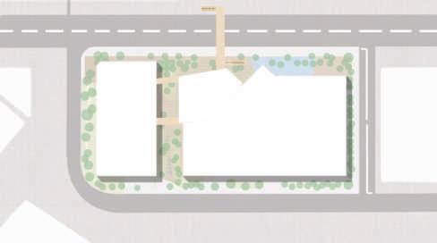
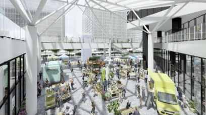
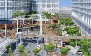
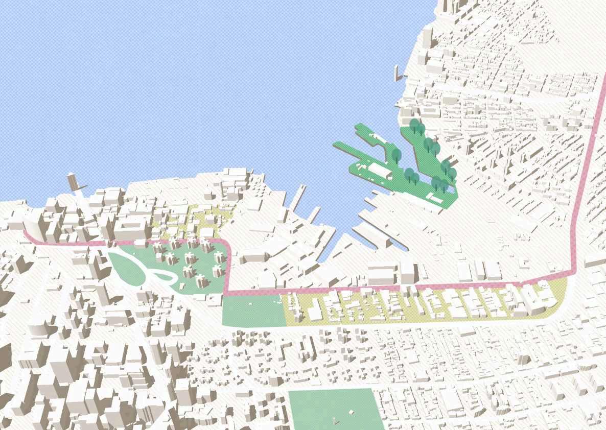
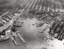
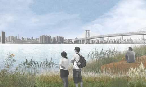
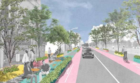
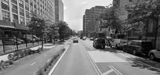
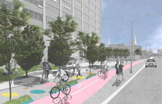
Location : Penn Station, NY
This project proposes to renew Penn Station to provide a better experience for visitors. Currently, Penn station serves as a transportation hub and causes a lot of congestions. By improving circulation both vertically and horizontally, a new station will solve several current issues on site. (Project at Columbia University )
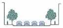
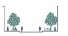
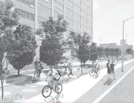
Open Space
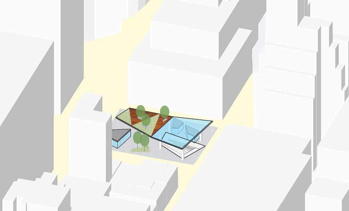
Stores with ground level access
Project Site & Surroundings
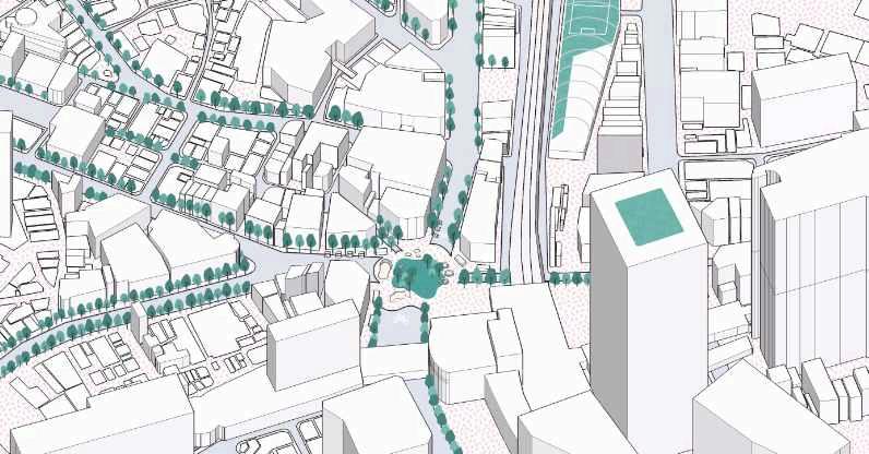

Site Observation & Analysis Issues On The Site Project Goals