
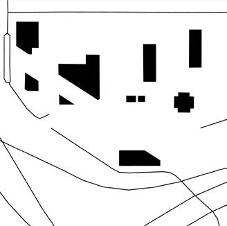
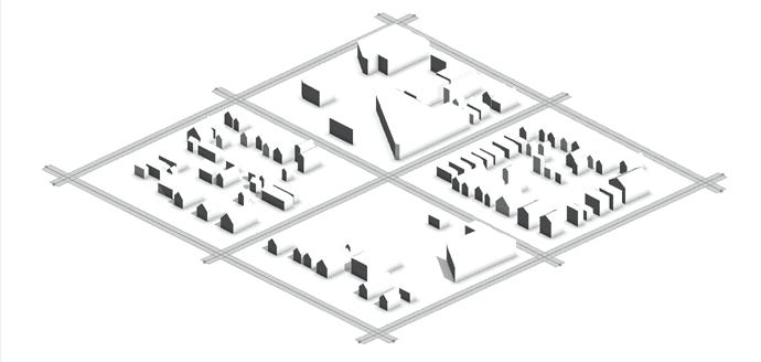
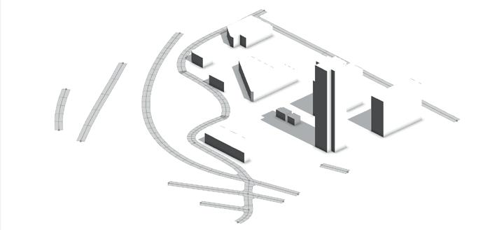
This project visualizes urban renewal the Cedar-Riverside neighborhood Minneapolis. It uses accessible graphics to help more people understand and contend with the lasting impacts of urban renewal.
The 3D models were exported to Rhino3D and flattened into isometric line drawings. The drawings were then exported to Adobe Illustrator for final presentation.
This workflow combines the strengths of geospatial and architectural modeling. The resulting map is highly accurate, rich in information and easy to understand.
space needs // collaborative:
This workflow also allows the model to be presented and used in multiple ways. It can be analyzed in a GIS platform and presented both in print and digitally as an interactive 3D model.
The legacy of urban renewal continues to shape social and economic life in central cities. But, a half-century later, it can be difficult to understand how it transformed cities, especially for nonexperts.
Public historians often use visuals to make history more accessible and relevant. This project contributes to the public history of American cities, by visualizing a pivotal moment in urban development.
This project visualizes urban renewal in the Cedar-Riverside neighborhood of Minneapolis. It uses accessible graphics to help more people understand and contend with the lasting impacts of urban renewal.
This project also contributes to ongoing efforts to bridge geospatial and architectural modeling. Although fairly complex, it produces a model that is highly versatile for analysis, design and communication.

© Robbie Seltzer, 2024 seltzer.robbie@gmail.com
I'm a planner, designer, and educator. In my work I:
DESIGN IN COMMUNITY so that young people can shape their city (p. 4).
PLAN WITH GRAPHICS to provide information for collective action (p. 12).
MAKE SPACE FOR ART and the communities that sustain artists (p. 20).
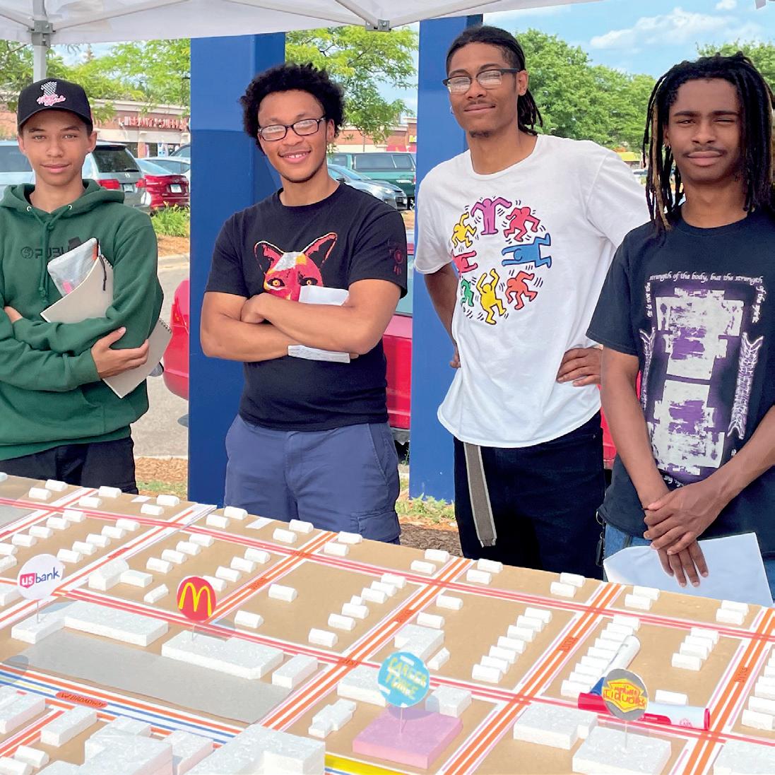
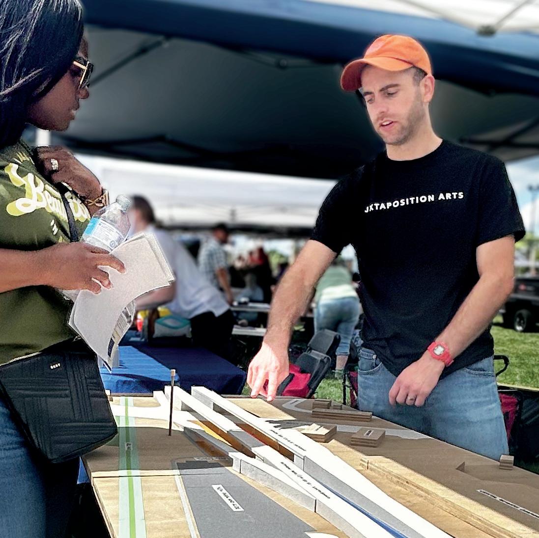
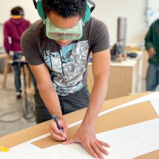
AFor five years, I led a community design studio at Juxtaposition Arts in North Minneapolis. We hired young adults from the neighborhood to work on projects that impacted their community. And we supported them to pursue careers in art and design.
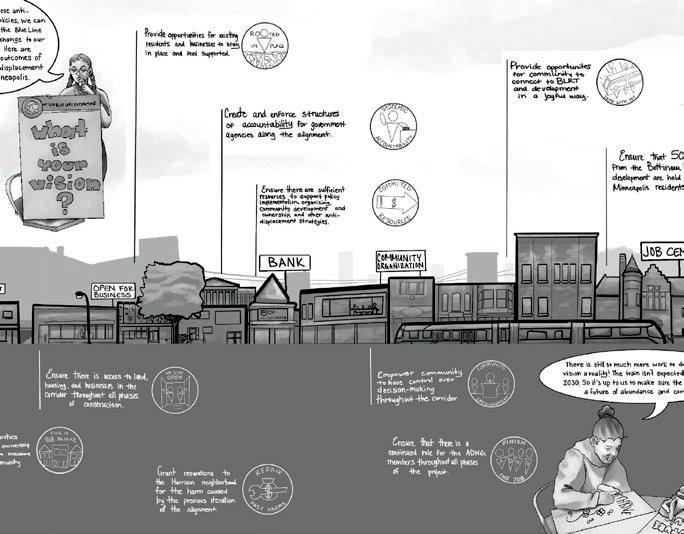
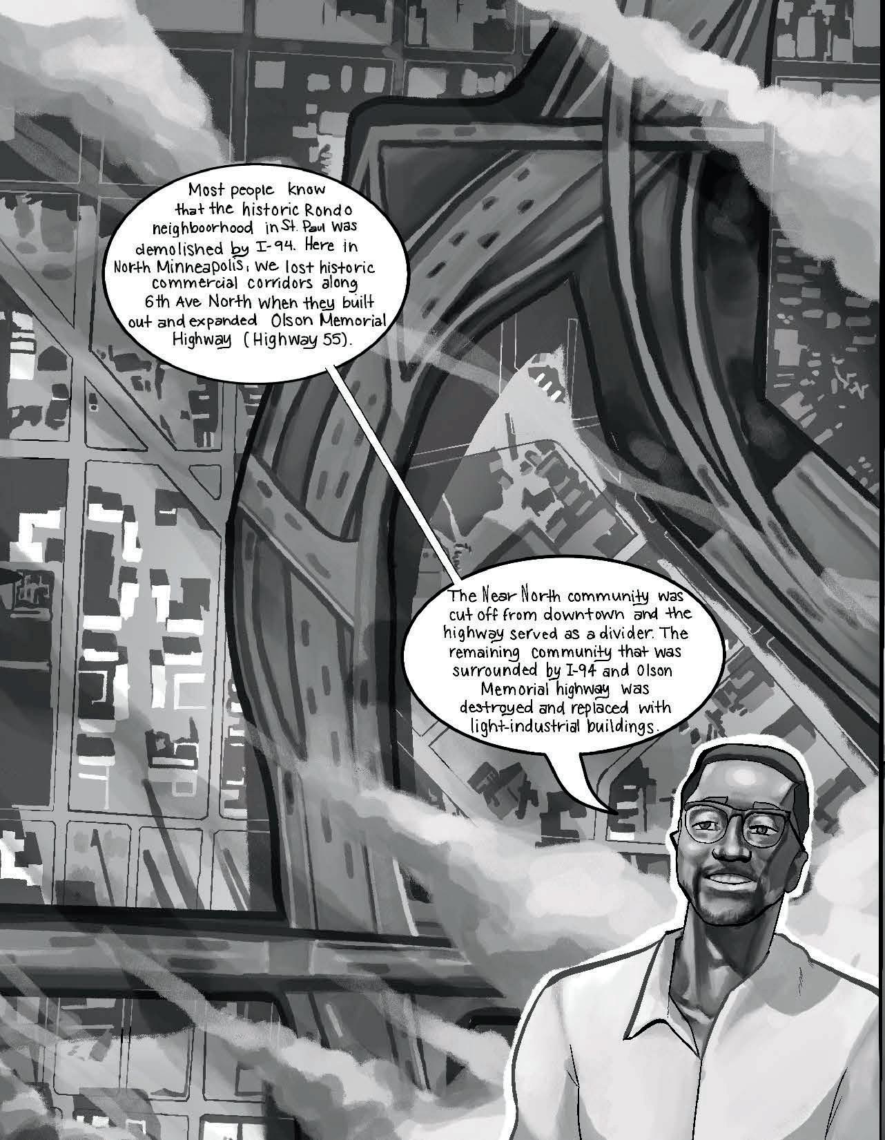
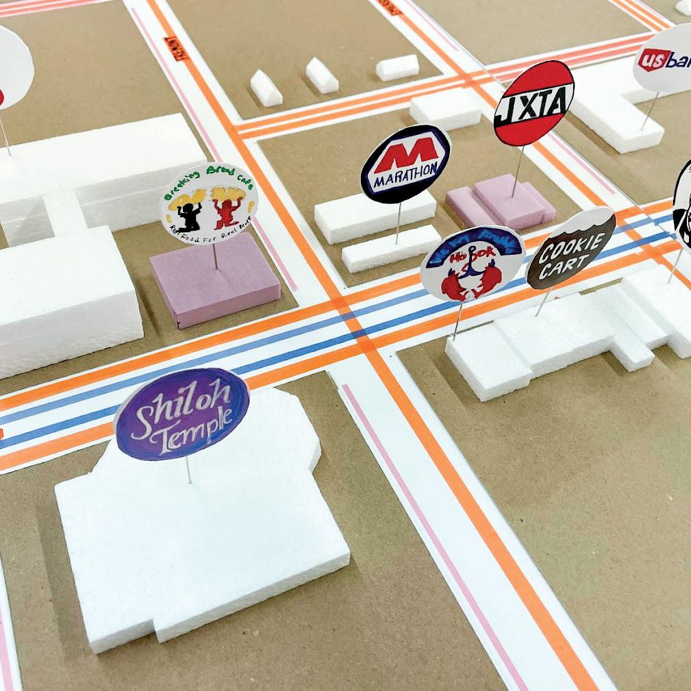
The biggest project to hit our neighborhood in a generation would extend the Blue Line light rail through the heart of North Minneapolis. Working for Hennepin County, I led my team to create arts-based tools for connecting residents to this complex and controversial project. We built large models of the proposed route that were easy to understand. We led handson workshops to inform station design. And, we created an illustrated comic to help people with different perspectives see themselves as part of the same story.
page from the comic engaging through models and hands-on workshops
How can communities promote their own vision for redevelopment?
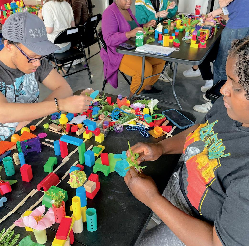
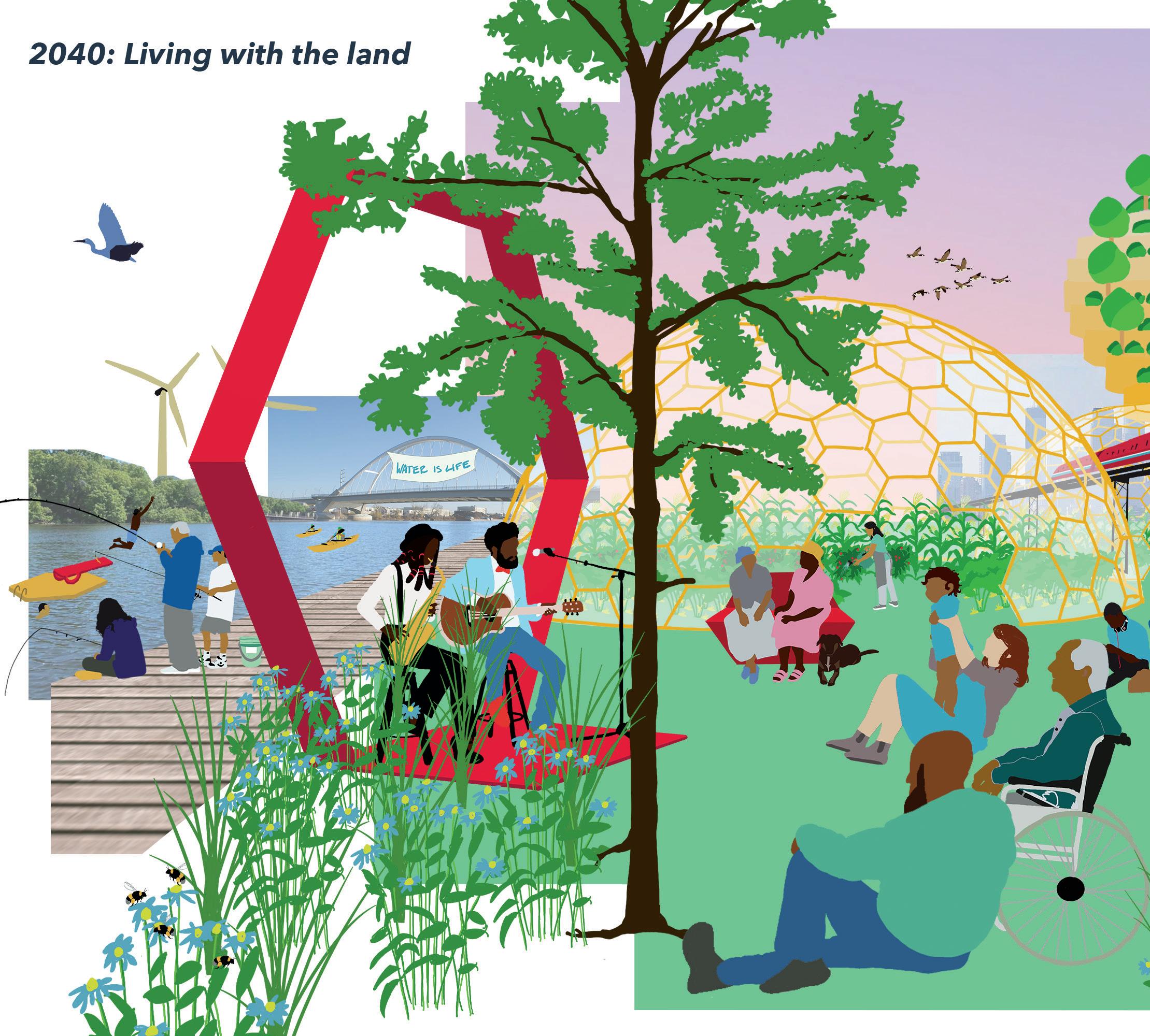
ACommunity Members for Environmental Justice (CMEJ) was frustrated with the City of Minneapolis's plan for the North Minneapolis riverfront. From their perspective, the plan would not benefit Northsiders or repair harm from decades of pollution.
CMEJ hired my community design studio to illustrate their vision for the riverfront. We began by asking CMEJ members to tell stories about what they hope to experience at the river in twenty years. My team of young adults then digitally illustrated elements from each person's story. From this collection of plants, animals, people, and infrastructure, we collaged renderings of the future riverfront.
With these renderings, CMEJ was able to build support behind a community-led vision for the North Minneapolis riverfront.
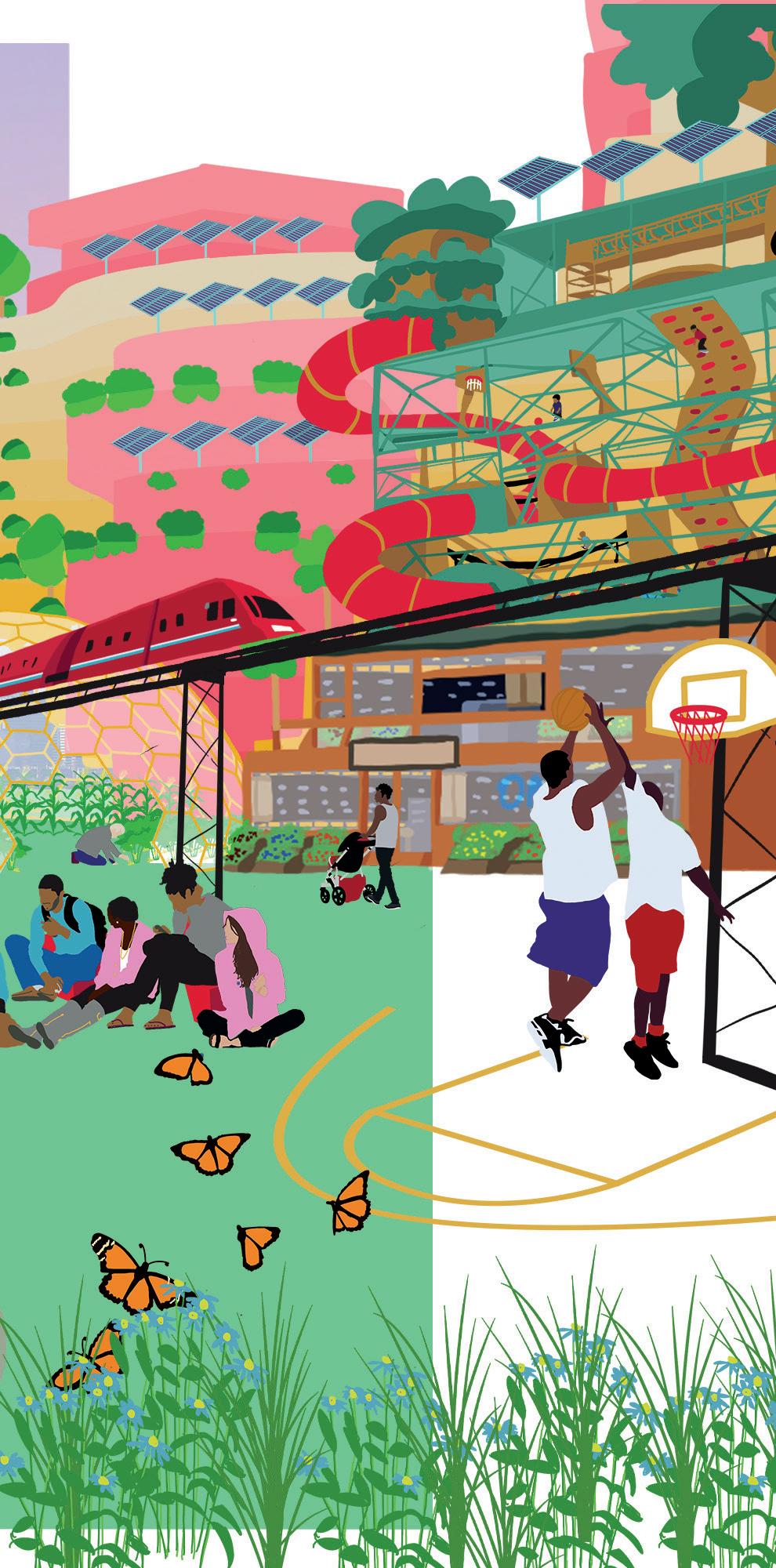
rendering of the North Minneapolis riverfront in 2040 <
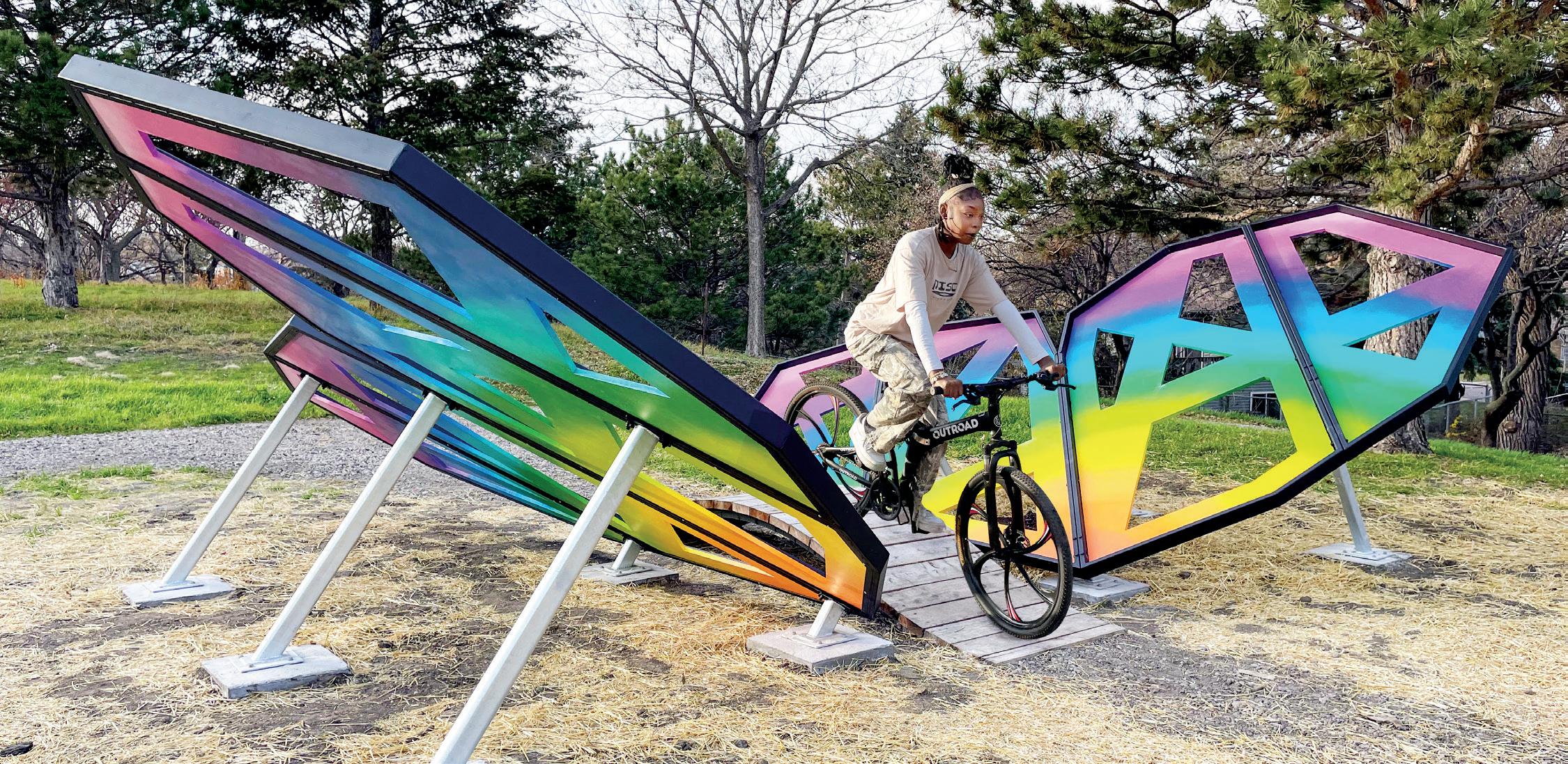

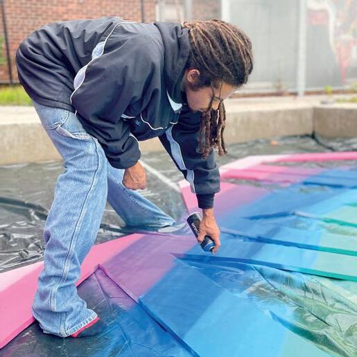
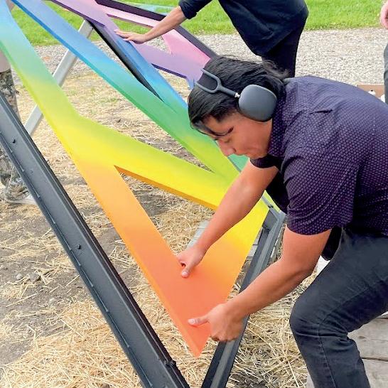
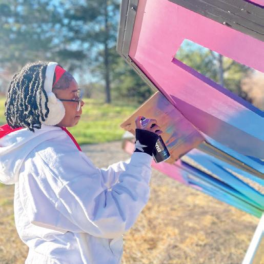
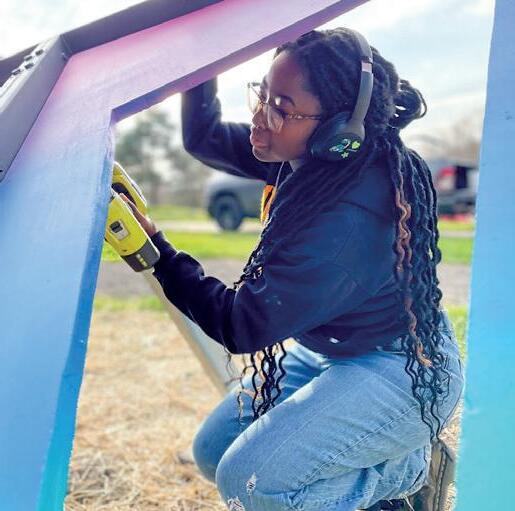
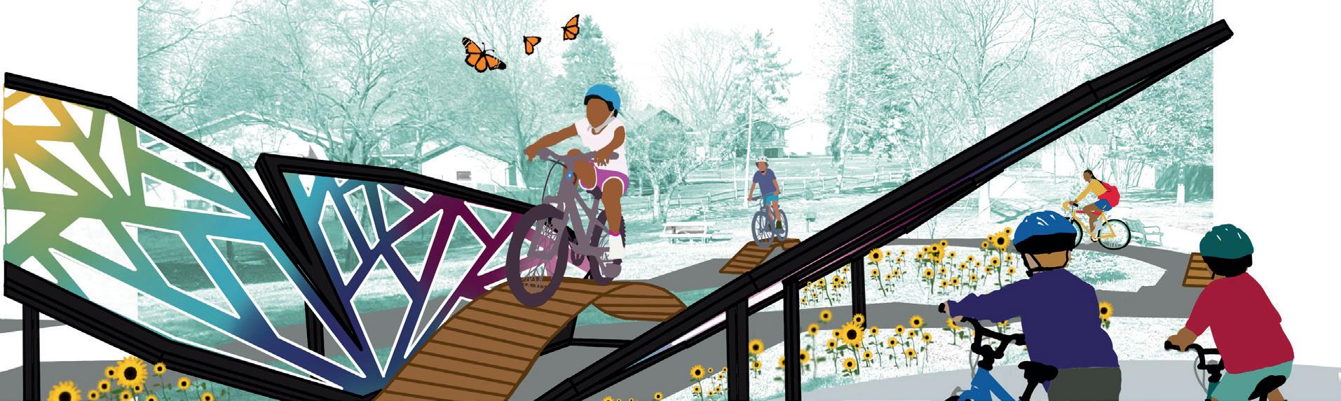
ALike many public agencies, the Minneapolis Park Board struggles to fund and maintain stand-alone public art pieces. They often hired my community design studio for creative ways to integrate art into routine parks improvements. For a new bike skills course down the street from our studio, we proposed transforming an off-the-shelf bike ramp into a giant butterfly. We thought whimsy and color would excite neighborhood kids to bike the course.
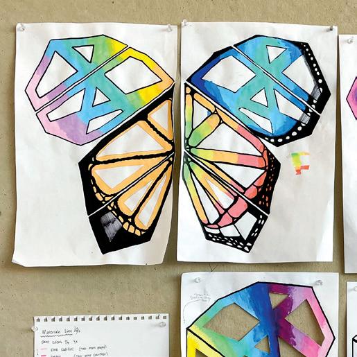
We hired a local fabricator to build the wing frames. He, in turn, hired one of our young adults to weld the entire piece. The rest of our team spray painted a meticulous rainbow fade on the wings. The day we installed, neighborhood kids were lining up to bike the butterfly.
<
>
painting, installing, and riding the butterfly bike ramp concept rendering for the butterfly bike ramp
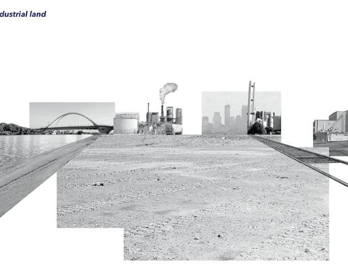
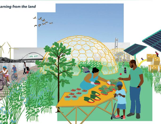
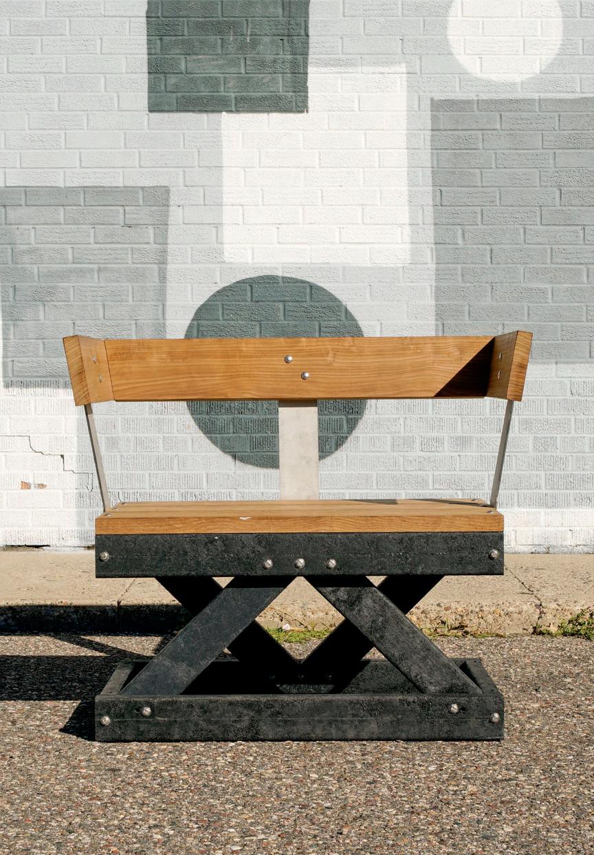
Industry separates North Minneapolis from the Mississippi River. That will change dramatically when 40 acres of the Upper Harbor barge terminal are redeveloped into housing, entertainment, and park space.
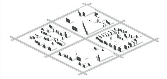
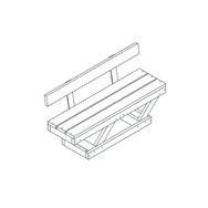
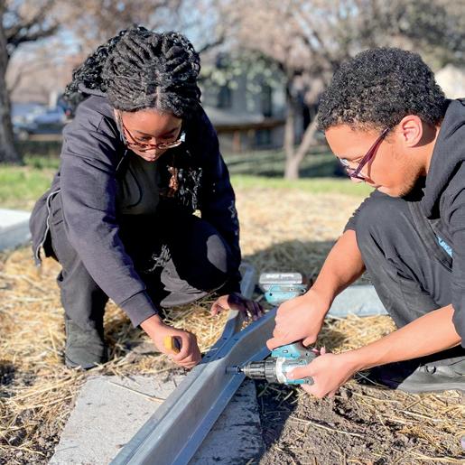
The Minneapolis Park Board hired my community design studio to plan public art for the new park. We started by interviewing graffiti artists, community elders, and others connected to the river. We then translated their stories into concepts for public art.
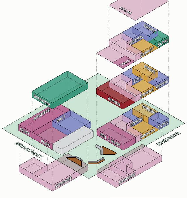
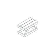
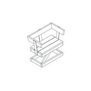
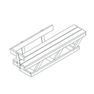
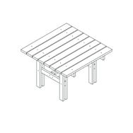
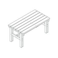
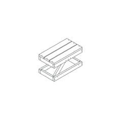
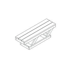
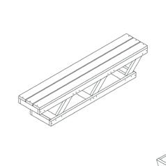
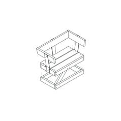
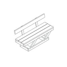
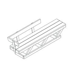
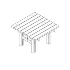
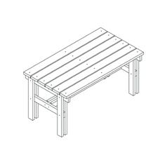
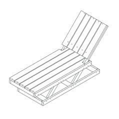
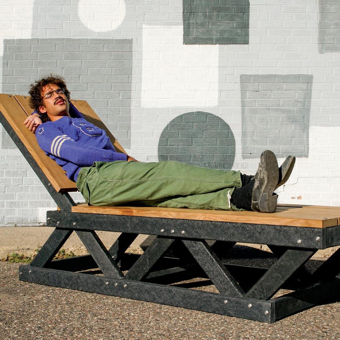
Excited by our concepts, the Park Board hired us to prototype outdoor furniture for the park. We took inspiration from triangular trusses in the abandoned industrial equipment to create sturdy bases for benches, tables, and even a chaise lounge. On top, we built seats with thermally-treated ash milled from Minneapolis trees. With a nod to the industrial past, the furniture celebrated our neighborhood's reclamation of the riverfront.
A > interviewed people who were exstorylines and asked them stories and themes that through public art. The apprentices on our team then stories into concepts for pieces. consulting with the Upper Terminal Community Advisory designers at Perkins & Will, the Minneapolis Park & Recwe finalized eleven pubconcepts that are presented here. are described through quotes from the interviewees, art pieces that inspired us. offer direction for artists
site visit at the Upper Harbor barge terminal public art plan and furniture prototypes >
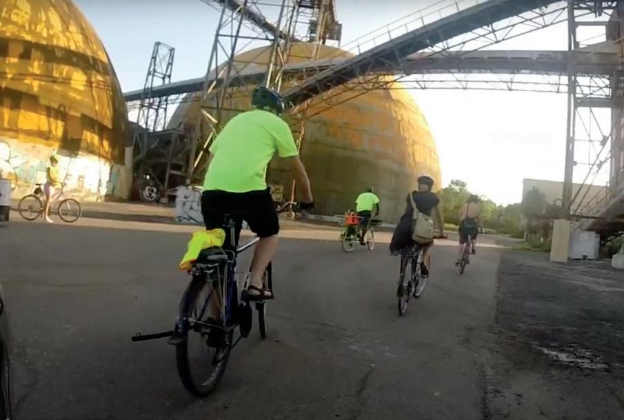
co-hosted by Slow Roll Minneapolis and Juxtaposition Arts.
DESIGN IN COMMUNITY
Public art planning and prototyping
When people go to Upper Harbor Terminal, they are amazed by the industrial structures.
Instead of sending everything to the landfill or scrapyard, pieces of the relics could be incorporated into artist-designed play structures, seating, bike racks or other elements.
• Creatively reuse pieces of the industrial relics (metal, stone, structural elements, etc.).
• Incorporate signage with photos and stories of the industrial and labor history of the site.
• Acknowledge the industrial history, while creating a new use for some of these materials and keeping them out of the landfill or scrap yard.
Thestructures…andallthat,Ialways thoughtthatwouldbereallyalotto getridof.Thepotentialforthatthing to bere-purposedintosomethingcool wasjustso,itseemedsoobvious,you know?

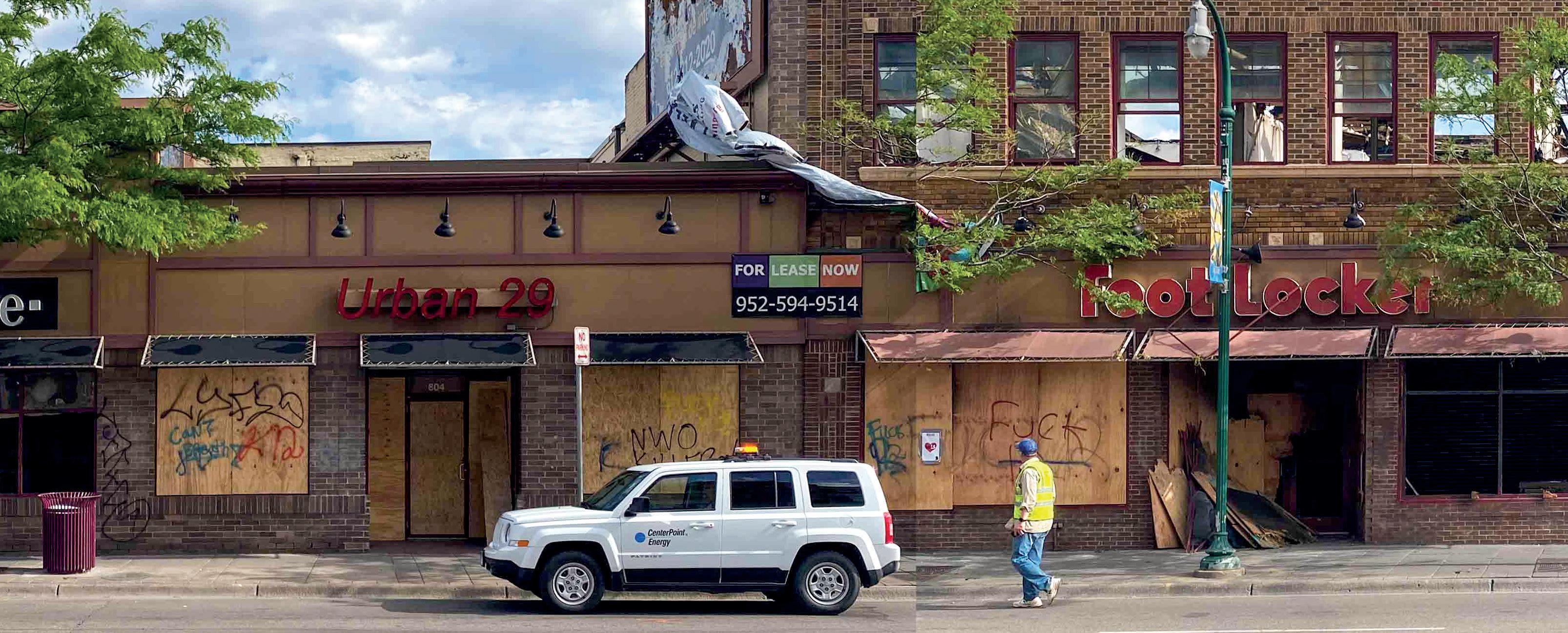
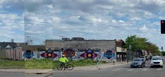
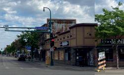
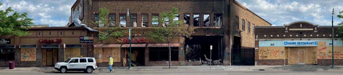
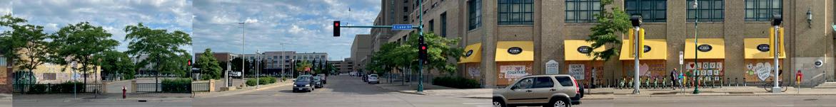
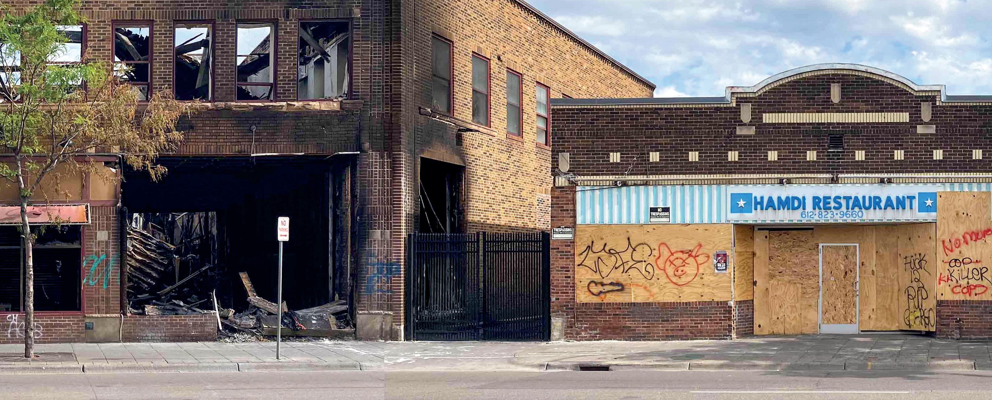
AAfter Minneapolis police killed George Floyd, hundreds of businesses along Lake Street in South Minneapolis were damaged or destroyed. At the time, I worked on a research team at the University of Minnesota school of Urban Planning. We heard from community groups that they were desperate for information about damaged businesses. The community groups needed information to advocate for emergency support and effectively distribute their limited resources.
We photographed miles of Lake Street to create panoramas of what the damage looked like from street level. We then linked the panoramas to a crowd-sourced database of businesses and the damage they sustained. And we hosted the panoramas online so that community groups could easily access the information.
selection from the panorama of Lake Street legend for information about building damage
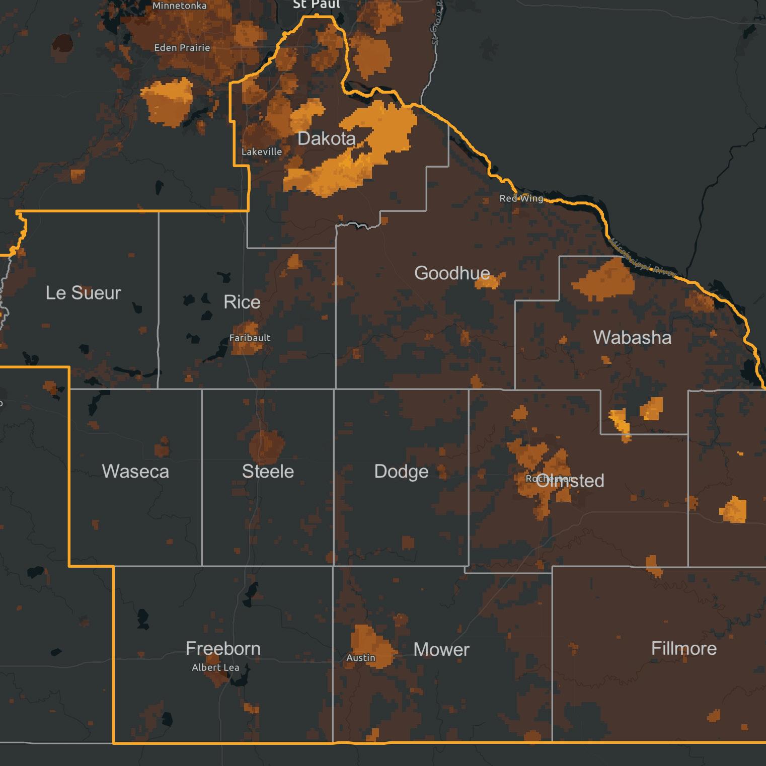
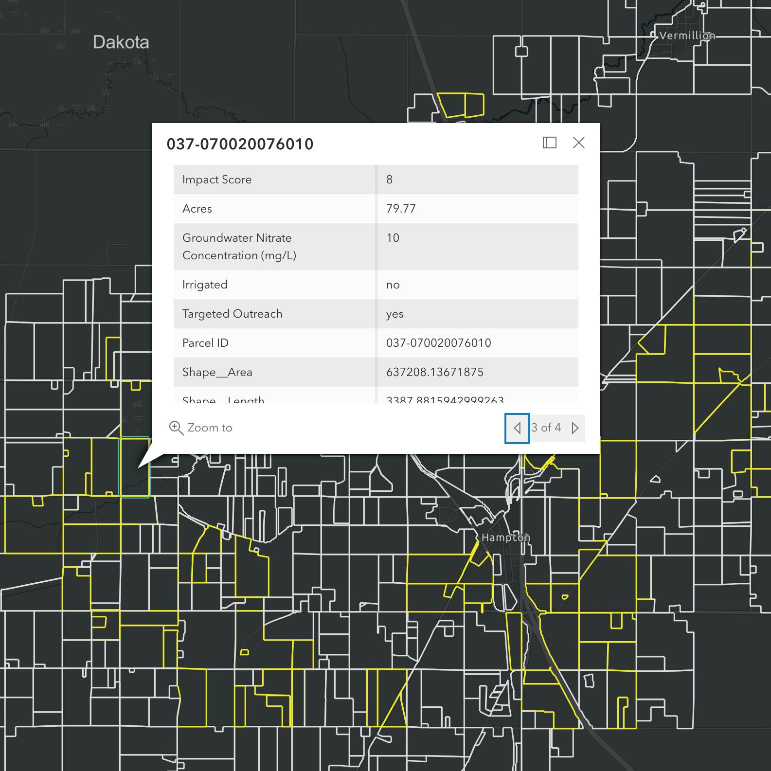
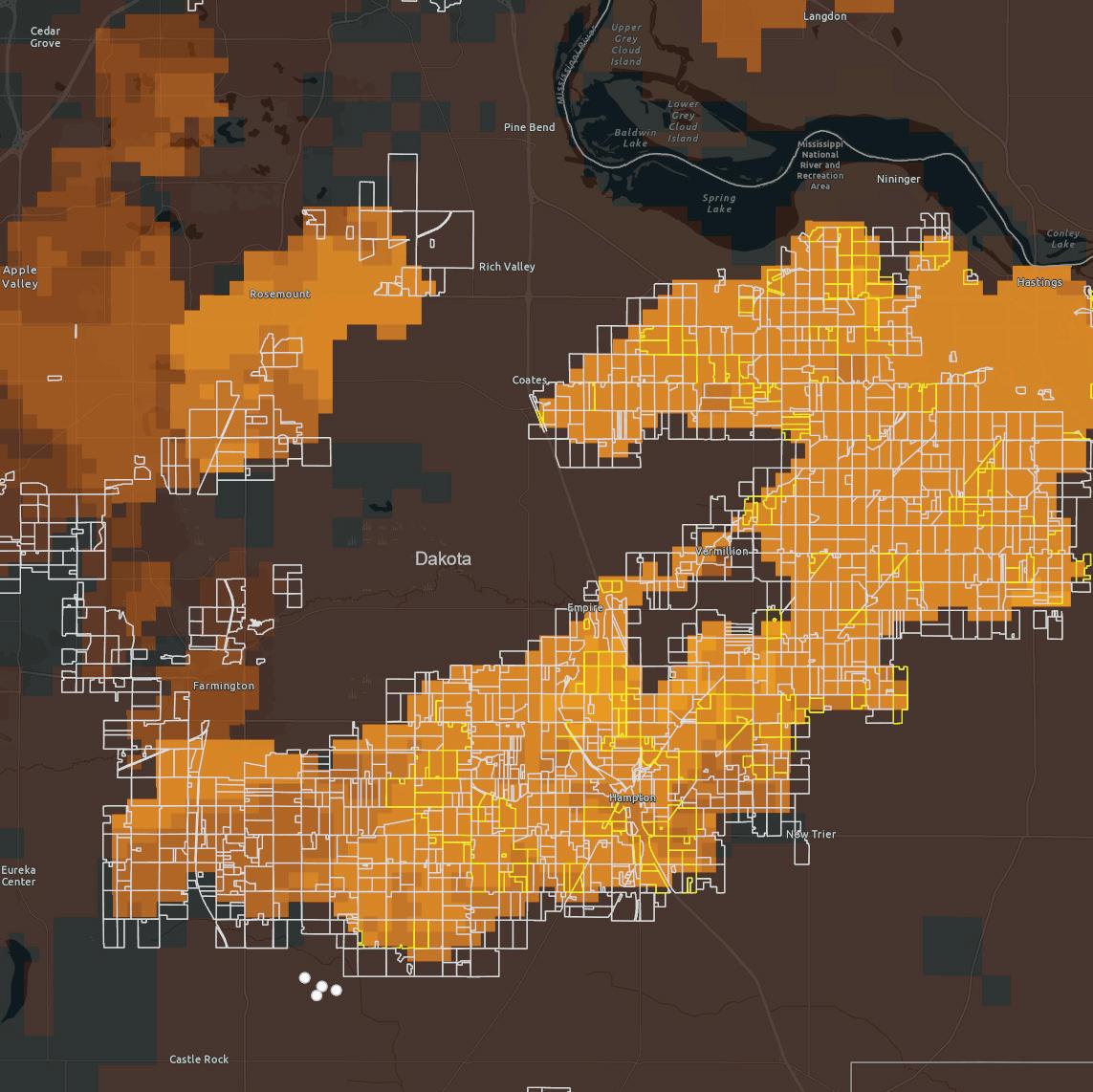
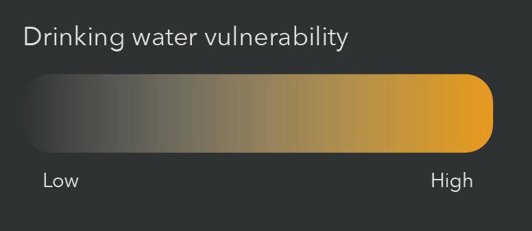
ACorn and soy are the dominant crops in Minnesota. When these crops are fertilized, nitrates enter drinking water and threaten public health. There’s a growing movement to replace corn and soy with perennial crops that protect drinking water.
Clean River Partners, an environmental nonprofit, wanted to help farmers in southeast Minnesota switch to perennial crops. To help target their outreach, I used environmental data to locate "hot spots" where drinking water is threatened. I then created an interactive web map so that Clean River Partners could easily pull contact information for farmers in the hot spots. And, with graphic designer Justin Sengly, we created marketing materials to help Clean River Partners persuade farmers of the promise of perennial crops.
flyer made in collaboration with Justin Sengly multiple views from the interactive web map


solorion perrum, ut quePist, ut la diciet quamus
optatius autati tem quuntia nosaeperi officipit
archil enis estemo tem iliquatus, nobit ellorem estem rem dis ra cus ne porem alitem. Bus
porem alitem. Bus sequam que num quiam a culliquam aliqui dolorem coribusa venis dolore se porios re necae ipsantiae eium voluptia ni re cus molorum latem nimaio. Ferovide commodit
eseque vendist molupta eribus ullatius eumet,
que qui aborio quatiur? Eniti nonseque quam faces eate nus, sinum, solorion perrum, ut que
[exaggerated]
[actual]

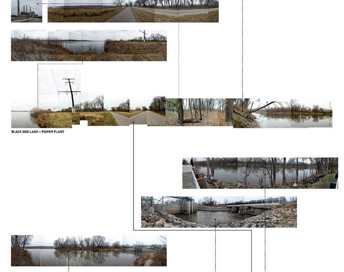
What do you experience along a 16-mile bike trail?
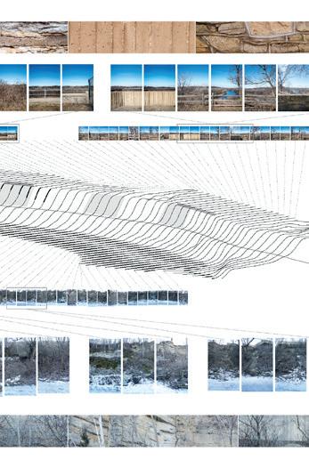
AWhile interning at TENxTEN, a landscape architecture firm in Minneapolis, I helped plan a 16-mile bike trail along the Minnesota River. From untouched prairie to landfills, the trail ran through spaces that people rarely visited. To help people imagine biking along it, I simplified the bike trail into a straight line. I then used symbols and colors to diagram what they would experience on either side of the trail.
People were intrigued by this different kind of map. It helped them notice details, like how many streams they would cross. And it helped them see the big picture, like the steep uphill climb that rewards bikers with a long, downhill coast. We used this map extensively during community engagement events. It helped people get excited about this new way of experiencing the river and helped build support for the trail.
map of the biking experience <
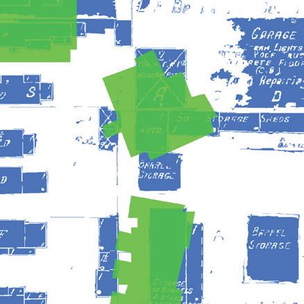
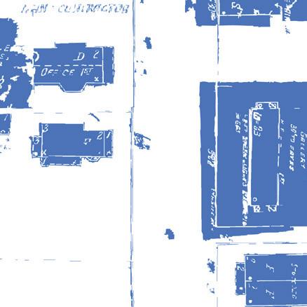
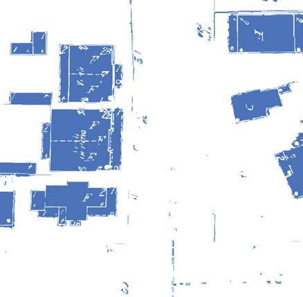
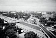
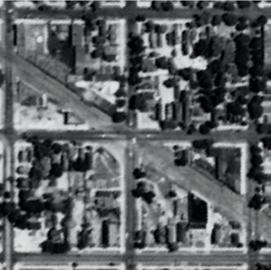
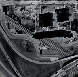
The American Indian Movement (AIM) was born in 1968 along Franklin Avenue in Minneapolis. Since then, stores and apartments have been replaced by strip malls. Oyate Hotanin, and arts organization, leads walking tours of AIM’s early years. They hired me to locate their stories in buildings that no longer exist.
Using historic aerial photographs, I overlaid building outlines along Franklin Avenue from the early 1970s and 2016. With this map, Oyate Hotanin could lead people to the corner of a parking lot and say, “Where you're standing was the building where...”
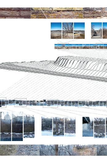
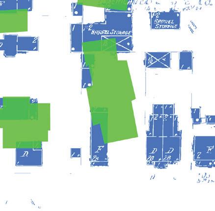
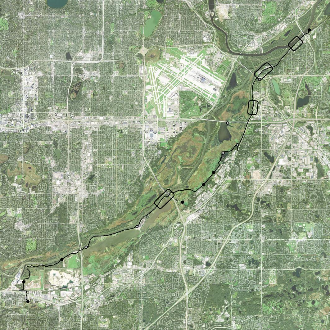
I’ve since experimented with visualizing urban history in three dimensions. Building outlines become wire-frames that show a past city behind the structure of the present. Highways and urban renewal have transformed most of Minneapolis’s urban core. These maps offer a framework for reconciling the past with the present.
Visualizing urban history
visualization of urban renewal in Minneapolis AIM walking tour map of Franklin Avenue > >
Buildings in 2016
Buildings in 1972 (along Franklin Ave)
Roads closed since 1972
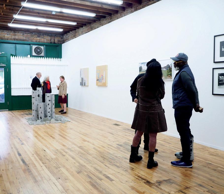
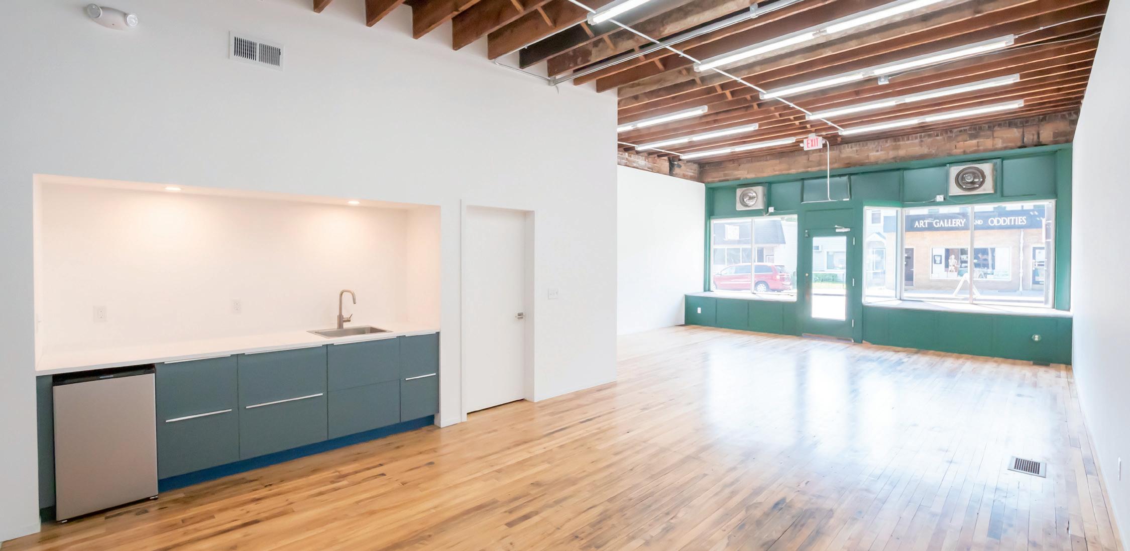
ACelebrated Minnesota artist Chris Larson and his wife Kriss Zulkosky were troubled to see buildings full of artist studios sold to developers. So they bought a shuttered linoleum store on the East Side of St. Paul with the dream of creating free studio spaces for women and non-binary artists.
Working with See-Do, a collective of young designers, we transformed the linoleum store into adaptable studio spaces. In the front half, artists could draw back a giant curtain to expand the gallery for events. In the back half, artists could slide out partition walls to create private work spaces or slide them in to collaborate.
Second Shift inspired other arts groups to reinvest in vacant buildings leading to more studios, galleries, and events on the East Side.
studio design and build
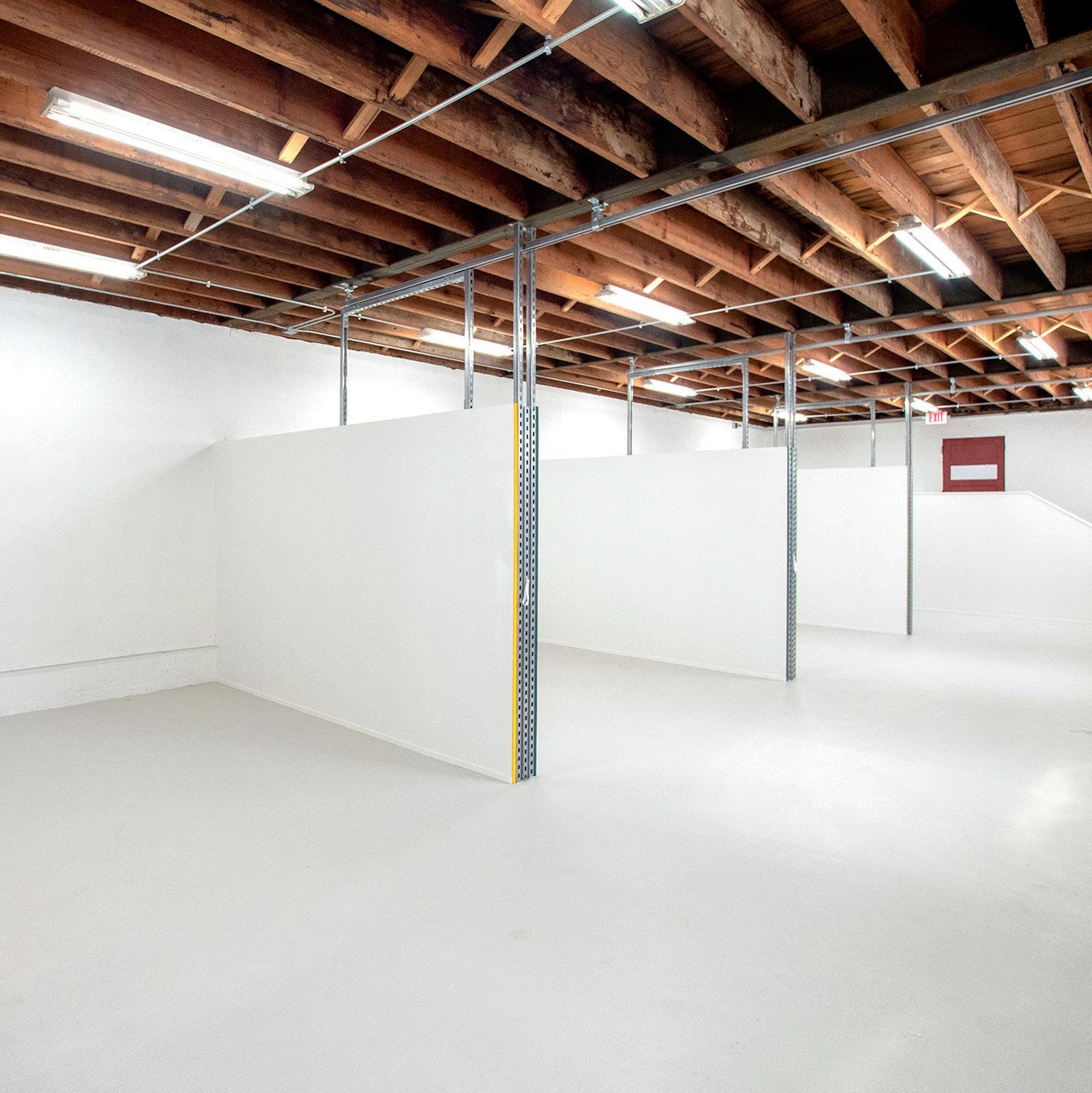
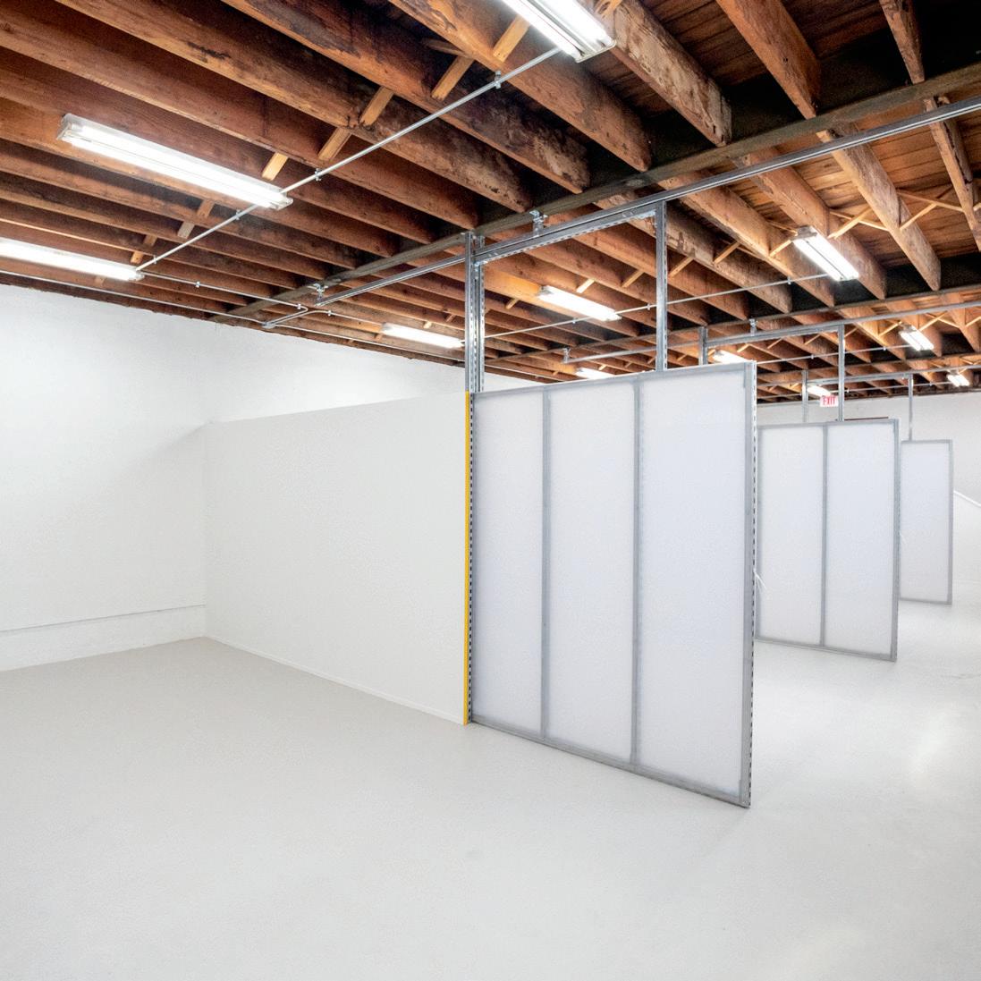
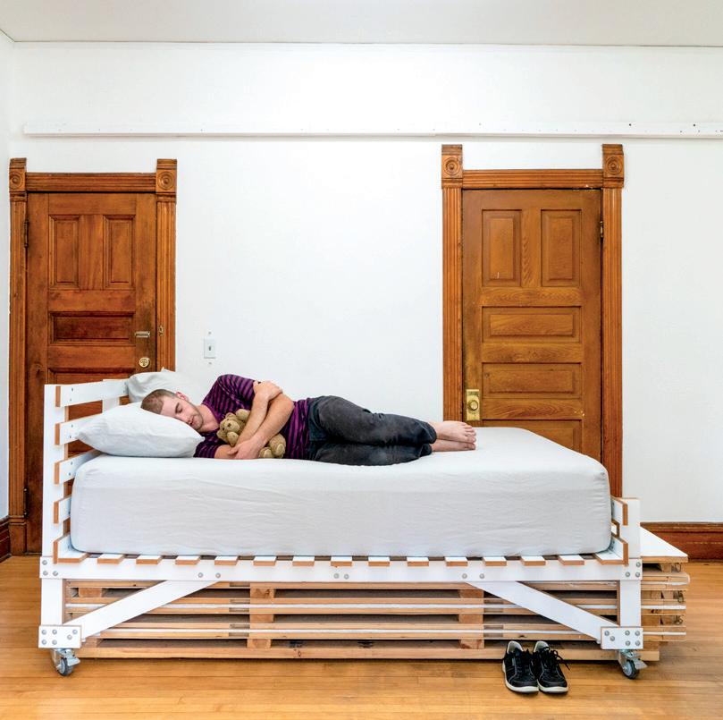
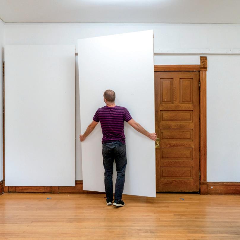
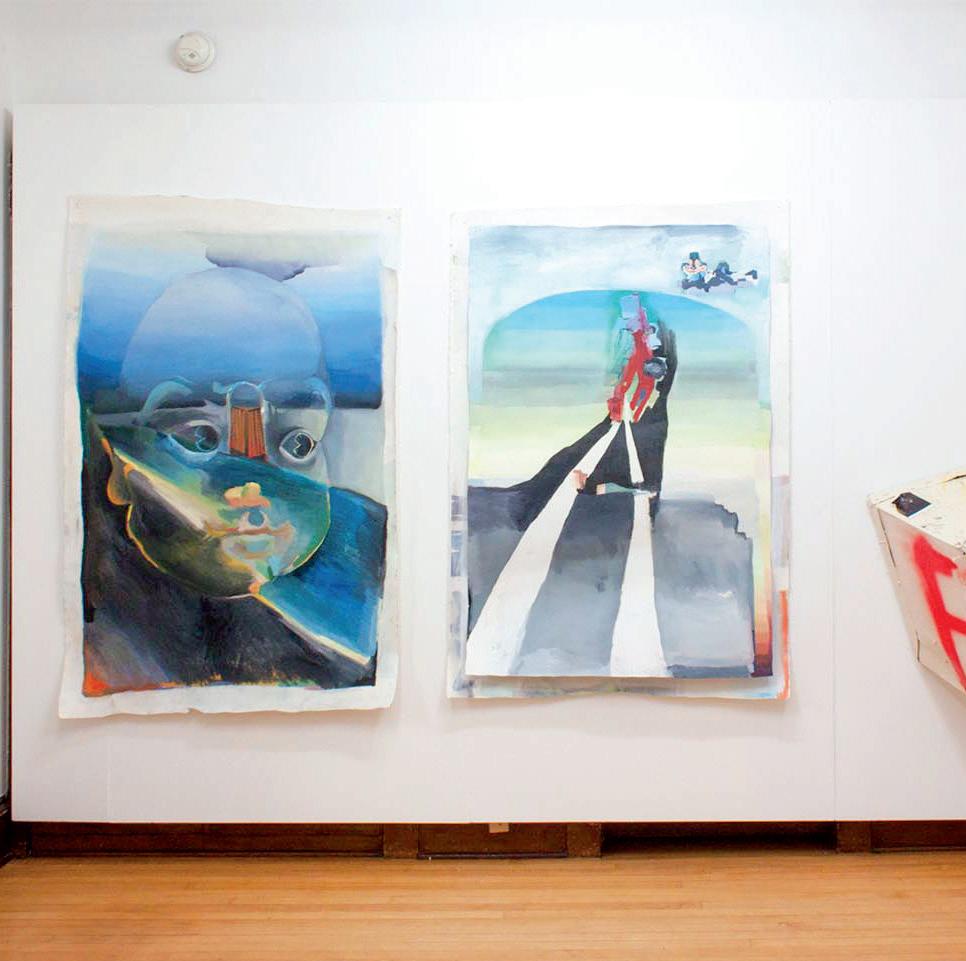
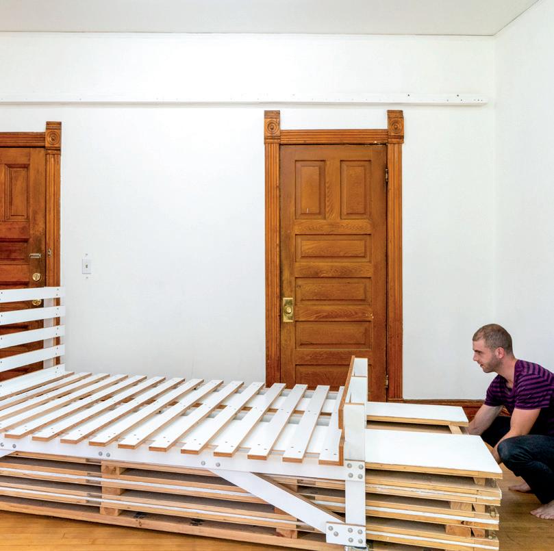
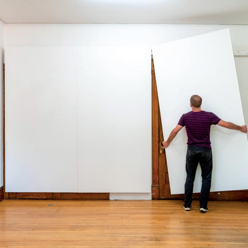
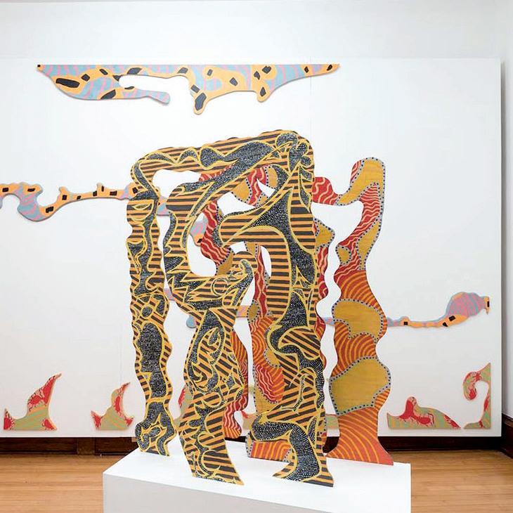
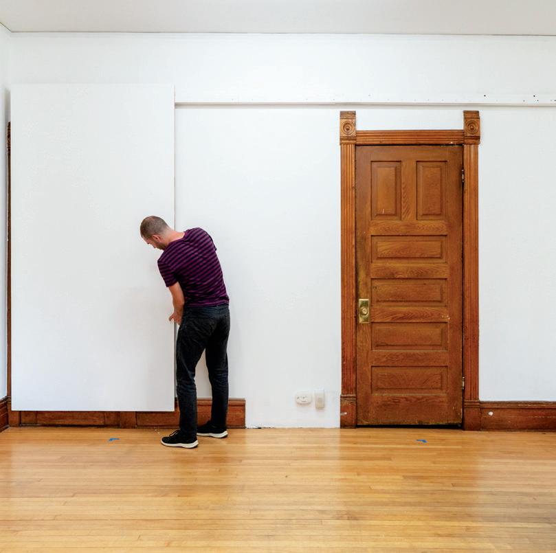
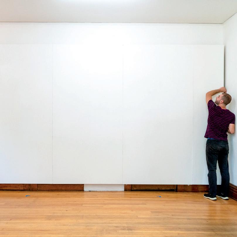
AAfter college, I rented an apartment with five friends. We all majored in art and someone suggested we turn our apartment into an art gallery. Wide-eyed and underemployed, we went all in. Over the next three years we hosted more than 60 shows. We could have 200 people come through our door. The Minneapolis Star Tribune put us on their front page.
Weekly, our apartment shifted from “living mode” to “gallery mode.” I built a system of hanging panels that snapped together to create seamless gallery walls. We could install the panels in an hour, hang the artwork in a day, hold an opening party Saturday night, a public critique on Sunday, and take it all down before the weekend was over. Between shows, the panels stored flat underneath my bed.
The gallery unraveled when my friends and I got "real jobs," partners, and generally grew up. But, it was a formative experience that launched all of us to careers in art and design.
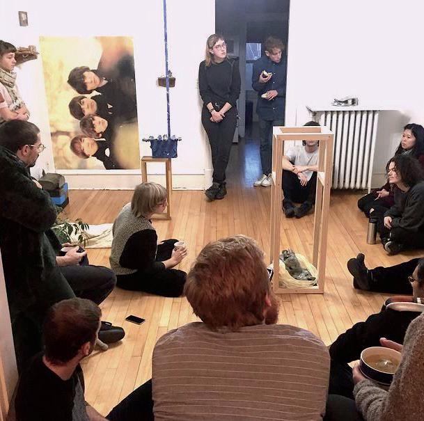
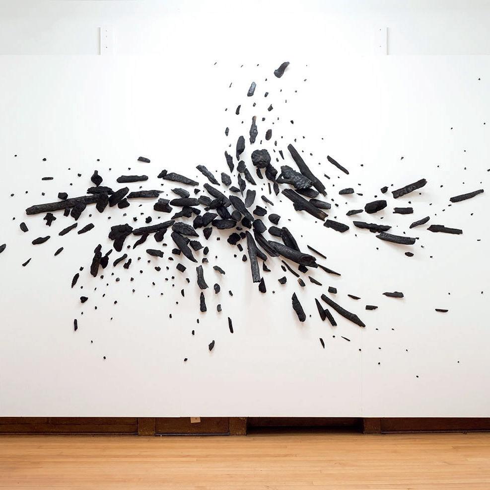
packing the gallery for a critique time-lapse of setting up the gallery walls


Shared
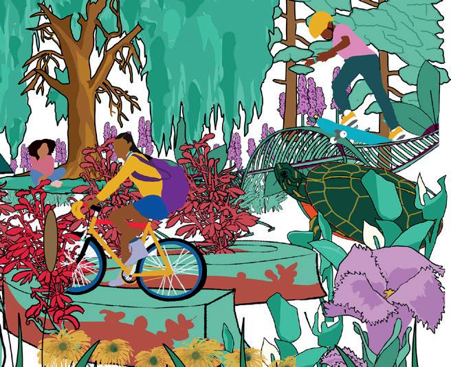
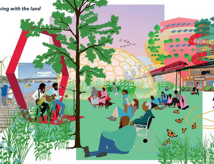
Industrial sites like Upper Harbor Terminal have separated north Minneapolis from the Mississippi River for generations. With the upper Mississippi closed to shipping, Upper Harbor is being redeveloped as park. Layers of program bring people to the water, restore native ecosystems and tell stories of how this landscape has changed.
Information infrastructure to collect and transmit timely detail about employer talent needs within sector.
Information infrastructure to collect and transmit service opportunities toward No Wrong Door approach for jobseekers seeking service through counselors/ intermediaries.
Oakland


17 Renderings + Graphics
Process outlined and implemented among partners to match regionally identified need with local (Workforce Board) supply and resources.
Buildings in 2016
Buildings in 1972 (along Franklin Ave)
Roads closed since 1972
Under Minnesota statute §260C.513(a) termination of parental rights (TPR) and adoption are the preferred permanency option for a child who cannot return home. However, counties do not apply this law consistently.
With support from JPMC, we propose bundling information on job openings with broader information about the company and hiring process. We will also continue to create a jobseeker-centric, collaborative navigation model among workforce service providers, resulting in an open door, and supported navigation for all job seekers.
These will be brought together in a more deliberative, intentional process engaging all partners to better connect jobseekers to employers in an economy that works for all.

2.1 : mapping