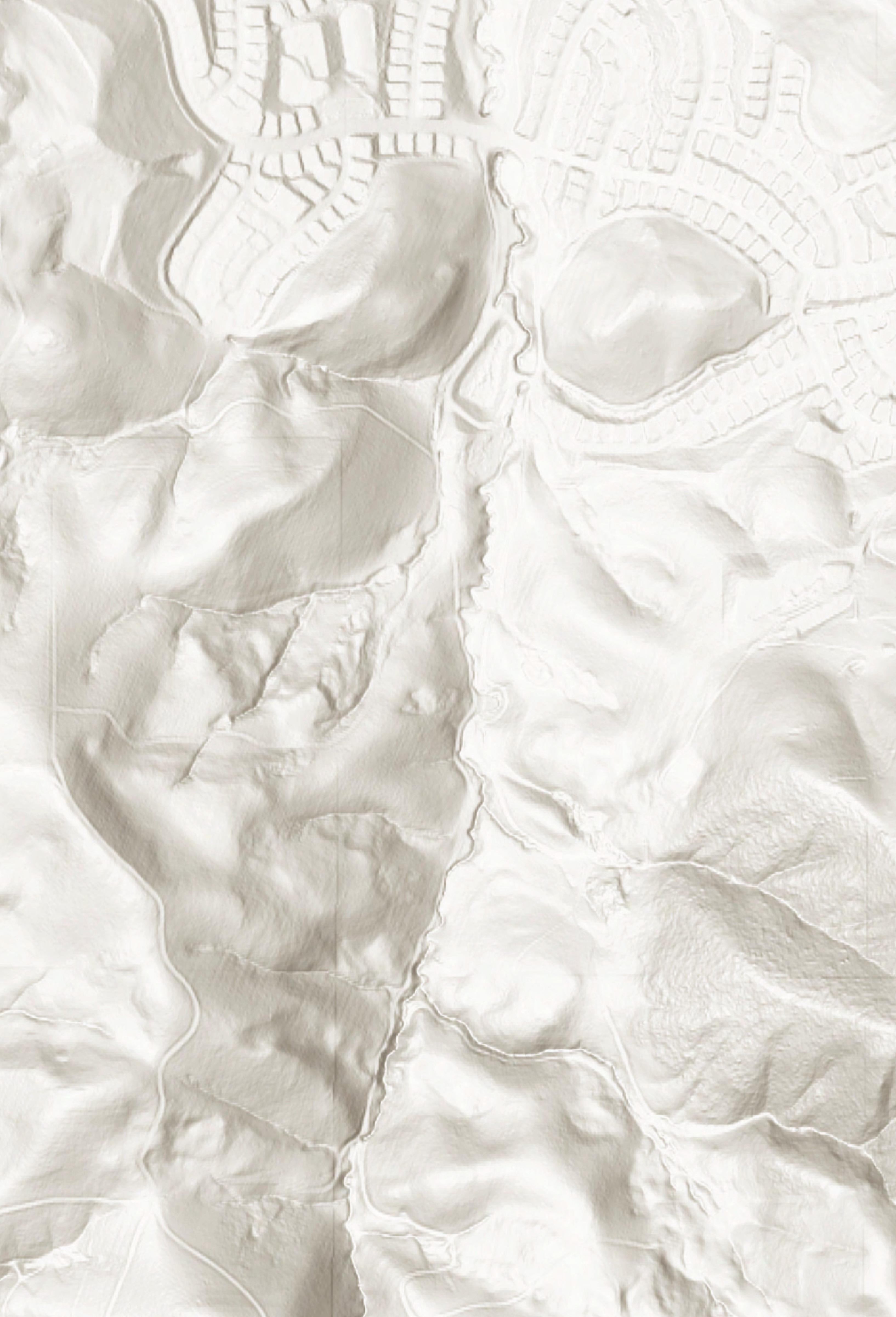


Mangini Ranch Educational Preserve Trail System
Galindo Creek Trail Loop 1.75 miles
The road that is parallel to Galindo Creek, going through the middle of the property and looping back up next to Lime Ridge and to the pond.
Chupcan Canyon Trail
0.9 miles
The trail from the bridge into the amphitheater, looping back into the creek. The Chupcan were a band of Bay Miwok Peoples who lived in Clayton, Pittsburg and the eastern Marsh Creek areas before Spanish colonization in the 1800's.
El Camino de Vacas
0.15 miles
The Trail offshoots from the northern bend of the Chupcan Canyon Trail, leading directly to the picnic area.
Ginochio Road
0.9 miles
The road that leads to SMD's neighbor, landowner, and grazer, John Ginochio. This is the east fire road.
Coralwood Trail
0.1 miles
The trail leads from Coralwood Ct., back onto Ginochio Rd.
Desert Olive Trail
0.4 miles
The trail is accessed from Ginochio Rd., leading into and through the desert olive grove and springs.

