Site | OSHA 10-hour Construction Safety and Health
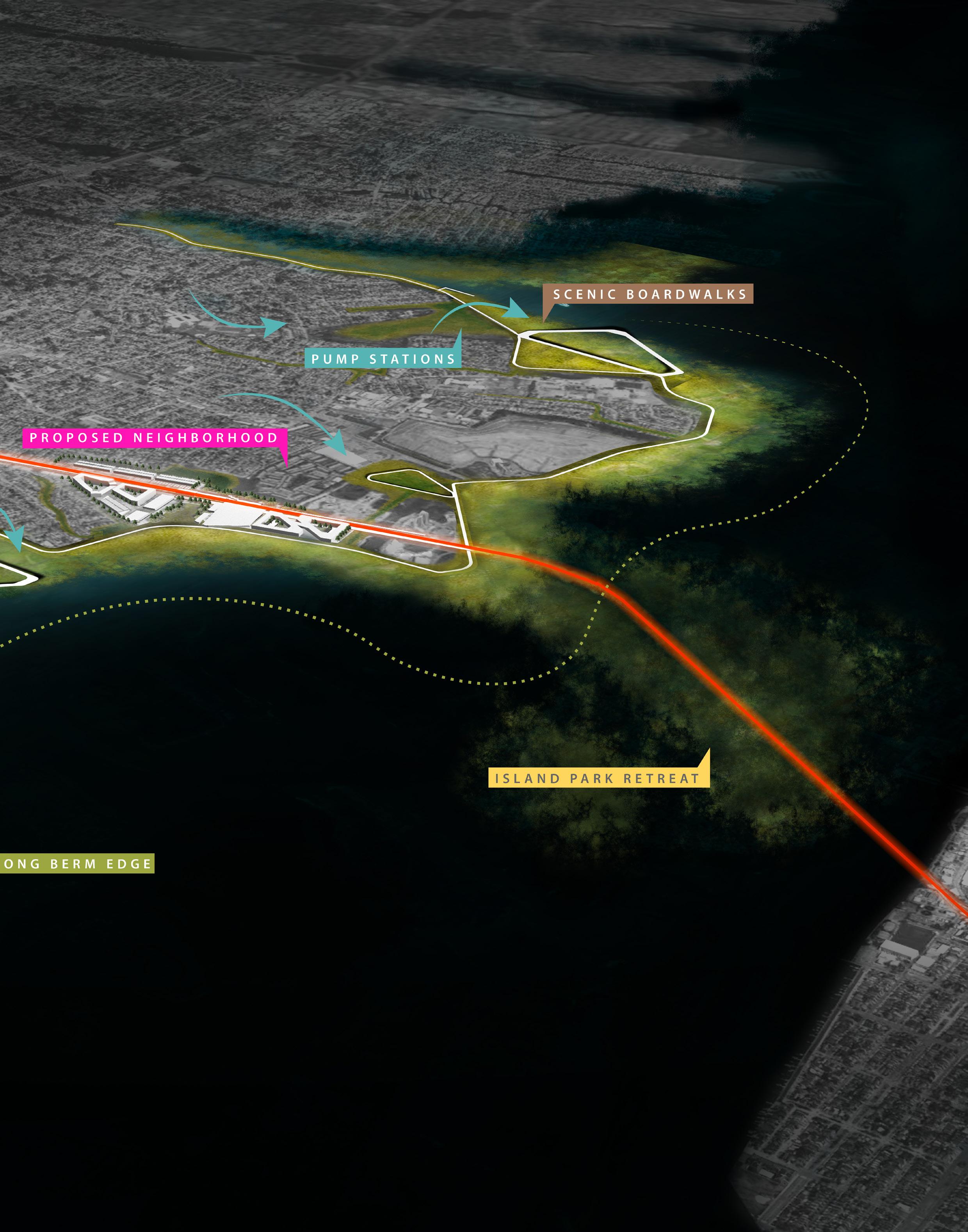
BELTING THE BAY
Long Island, NY | MLA Studio V
Fall 2023
Instructor: Matthijs Bouw
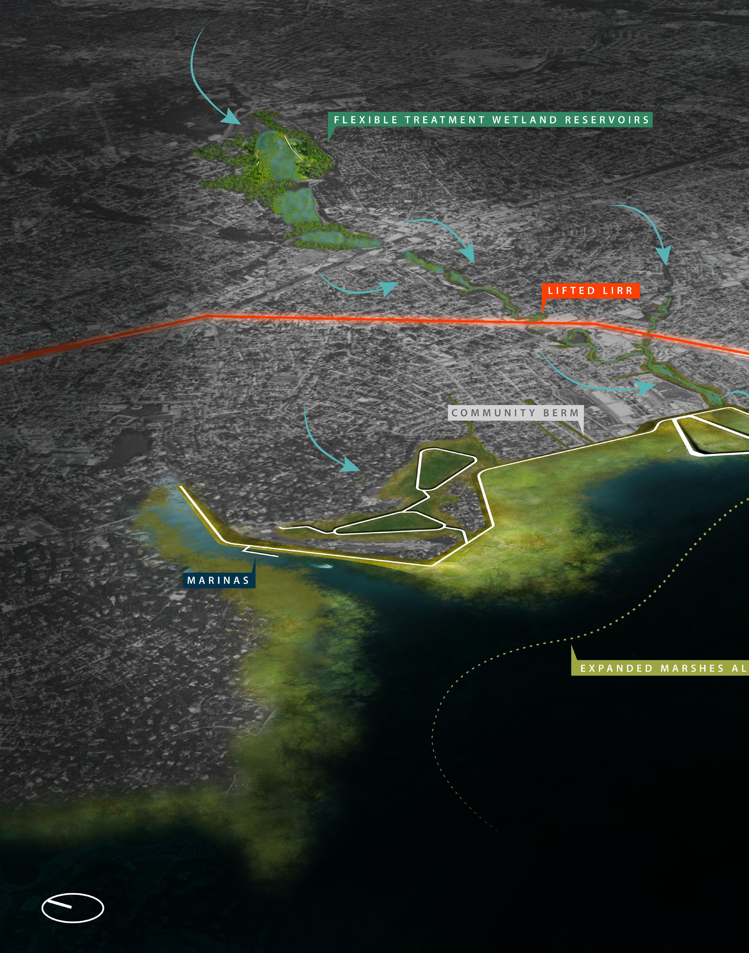
After initial research of Long Island’s downtown land uses, rail line corridors, and the potential impacts of coastal and inland flooding on these residential, commercial, and industrial spaces, I analyzed these intersections critically, developing radical suburban strategies that integrate varying scales and utilize core resilience strategies.
This work examines the coastal, regional, neighborhood, and street scale design potentials while applying protection, retreat, adaption, and development strategies. Each scale suggests a physical approach and has the potential to be developed and adopted by many communities for island wide resiliency.
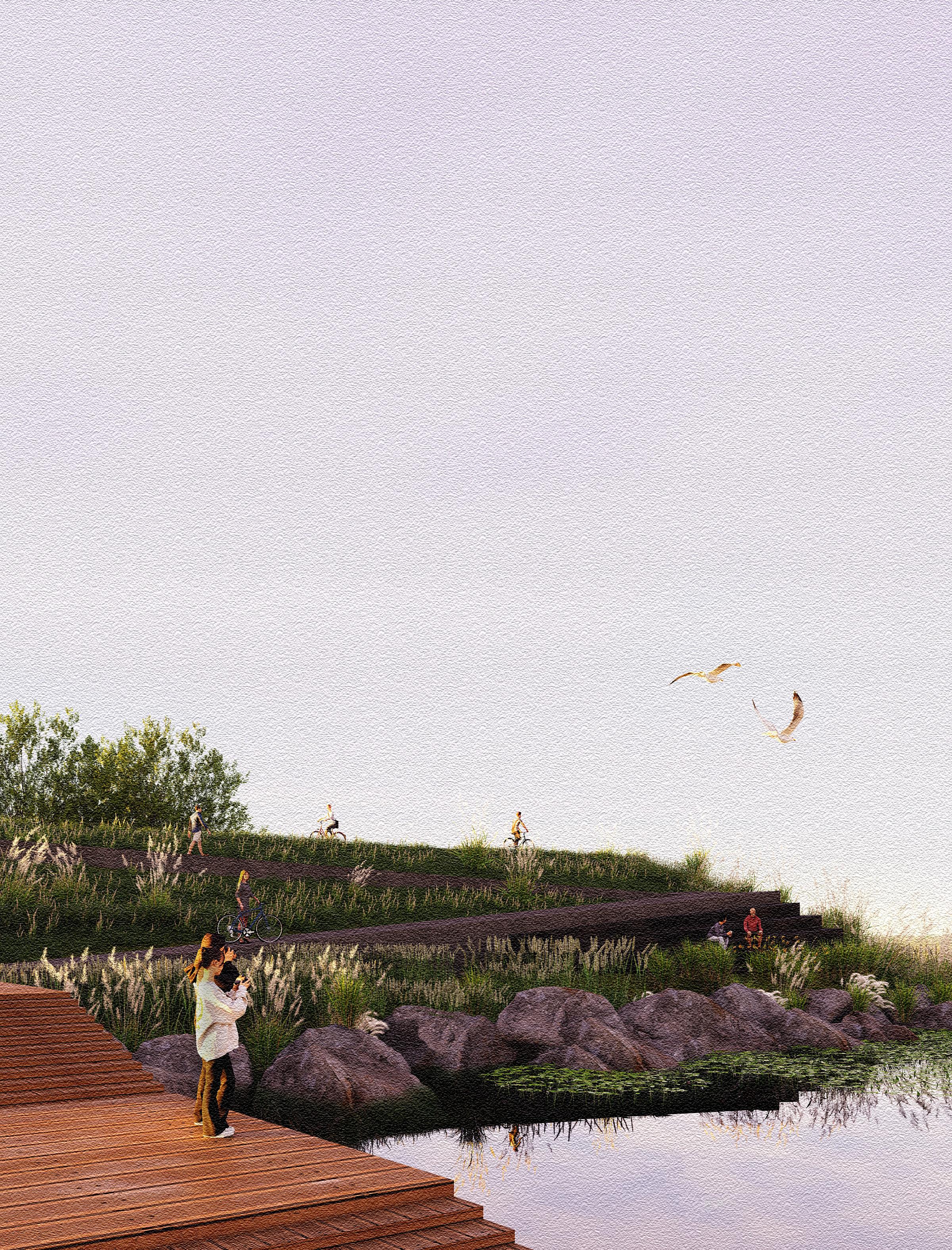
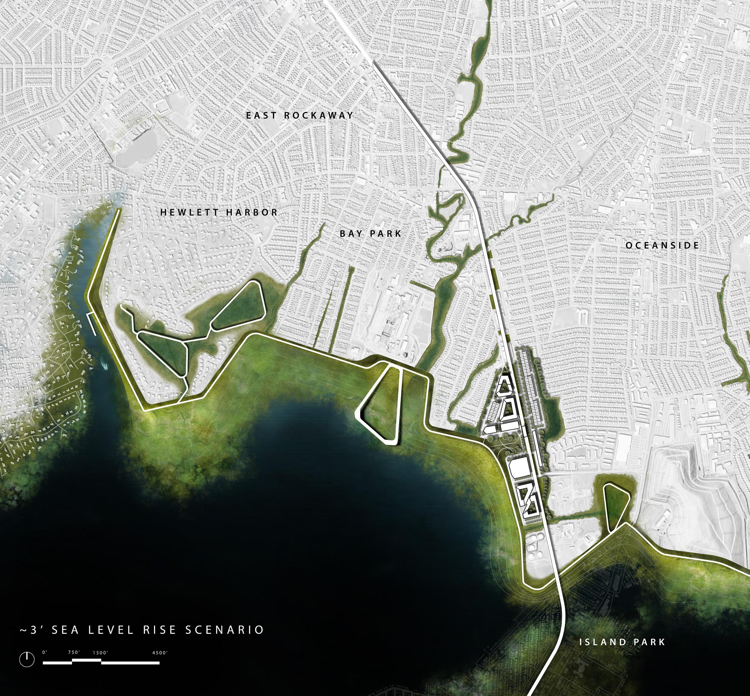
The proposal is focused in southern Nassau County in the neighborhoods of Hewlett Bay, Oceanside, and Island Park. While this project does not account for any specific design strategies in Long Beach (with the exception of the LIRR line being physically elevated), it follows the assumption that due to its high density, other protection and design measures will be taken for its protection.
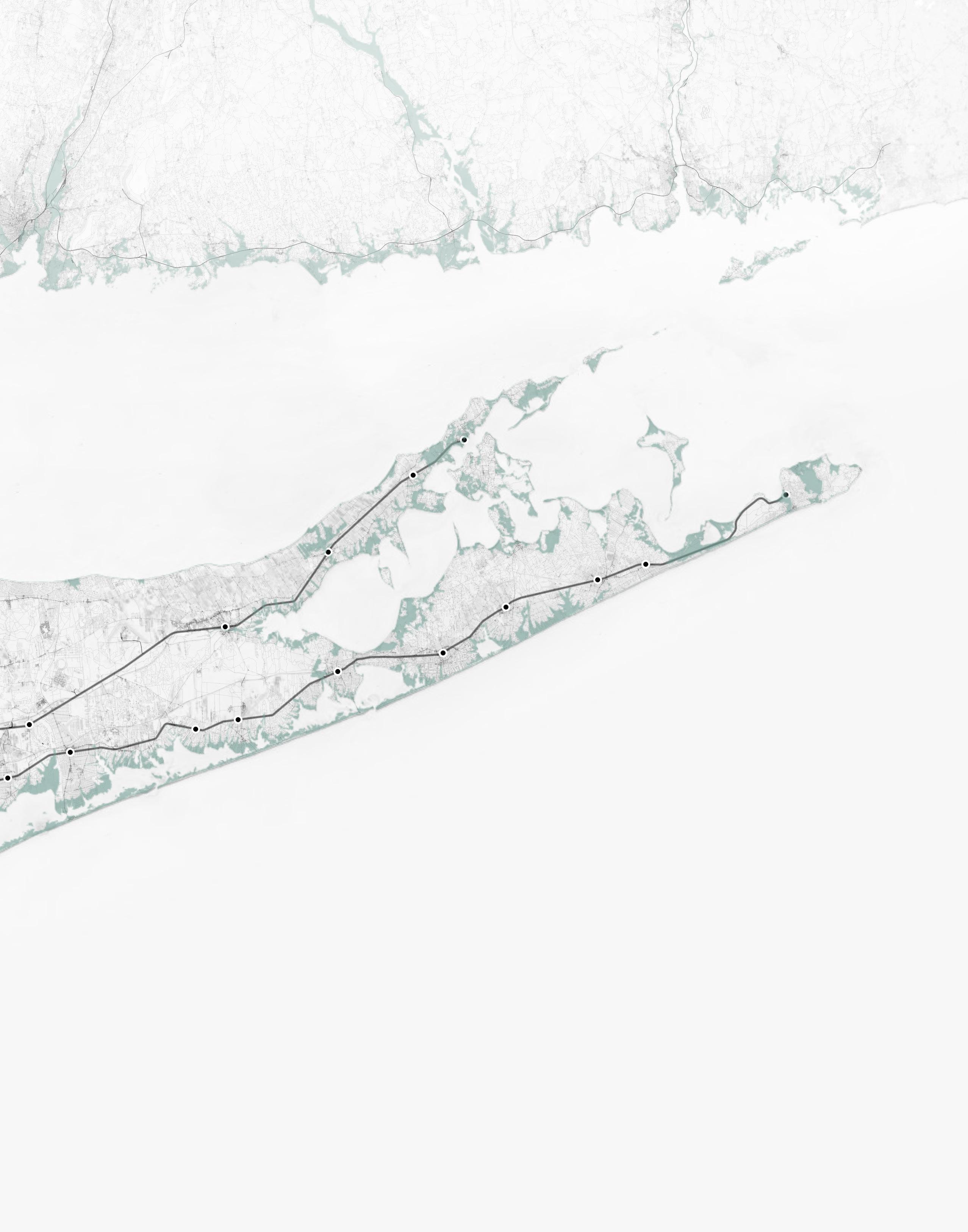
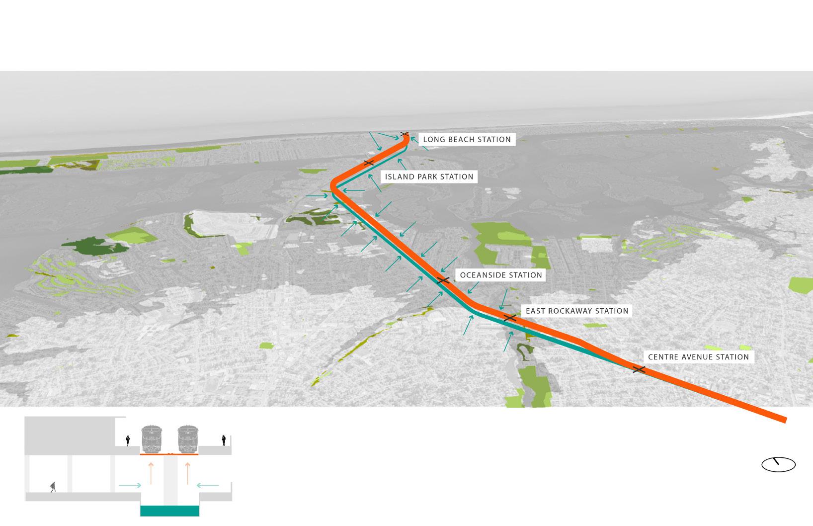
SITE CONTEXT | Long Island Rail Road Vulnerability Analysis in South Nassau County
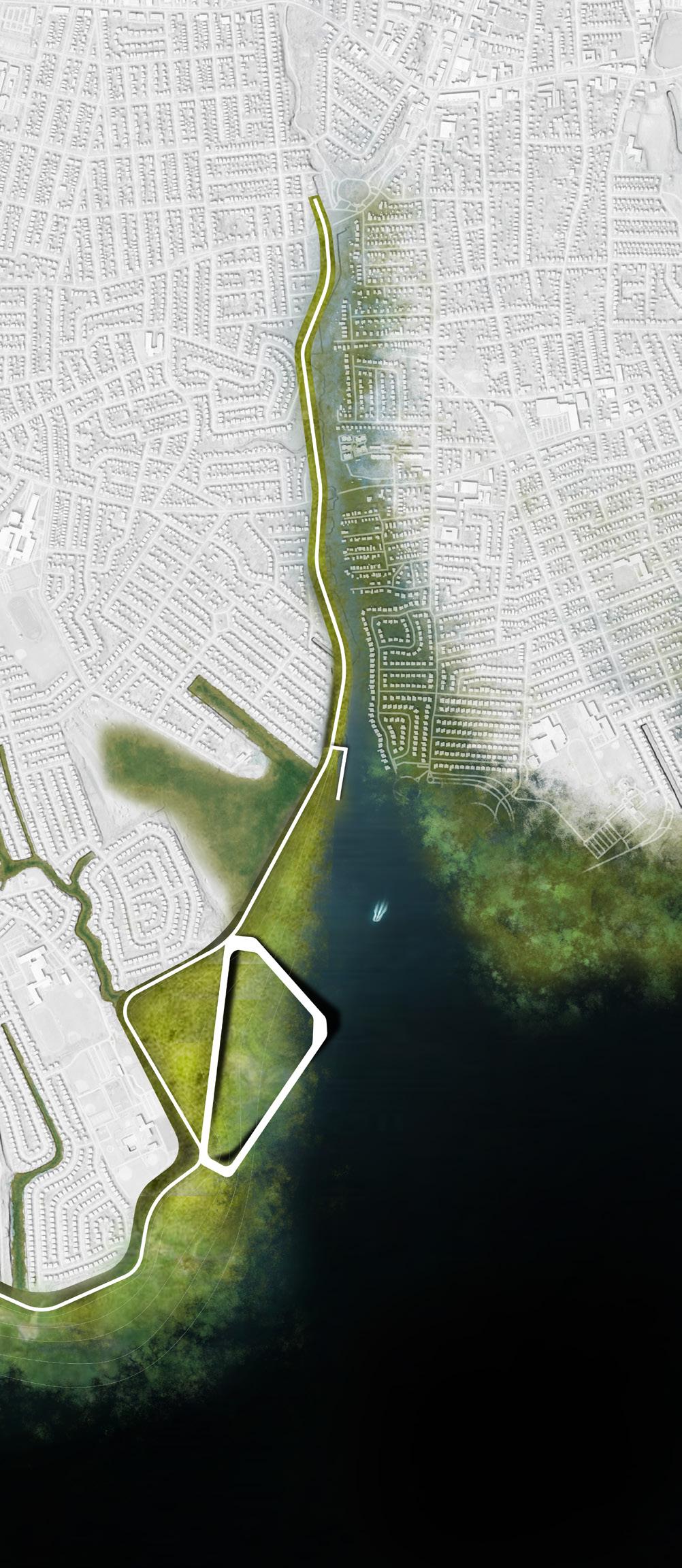
Selected Site: Inundated LIRR Corridor
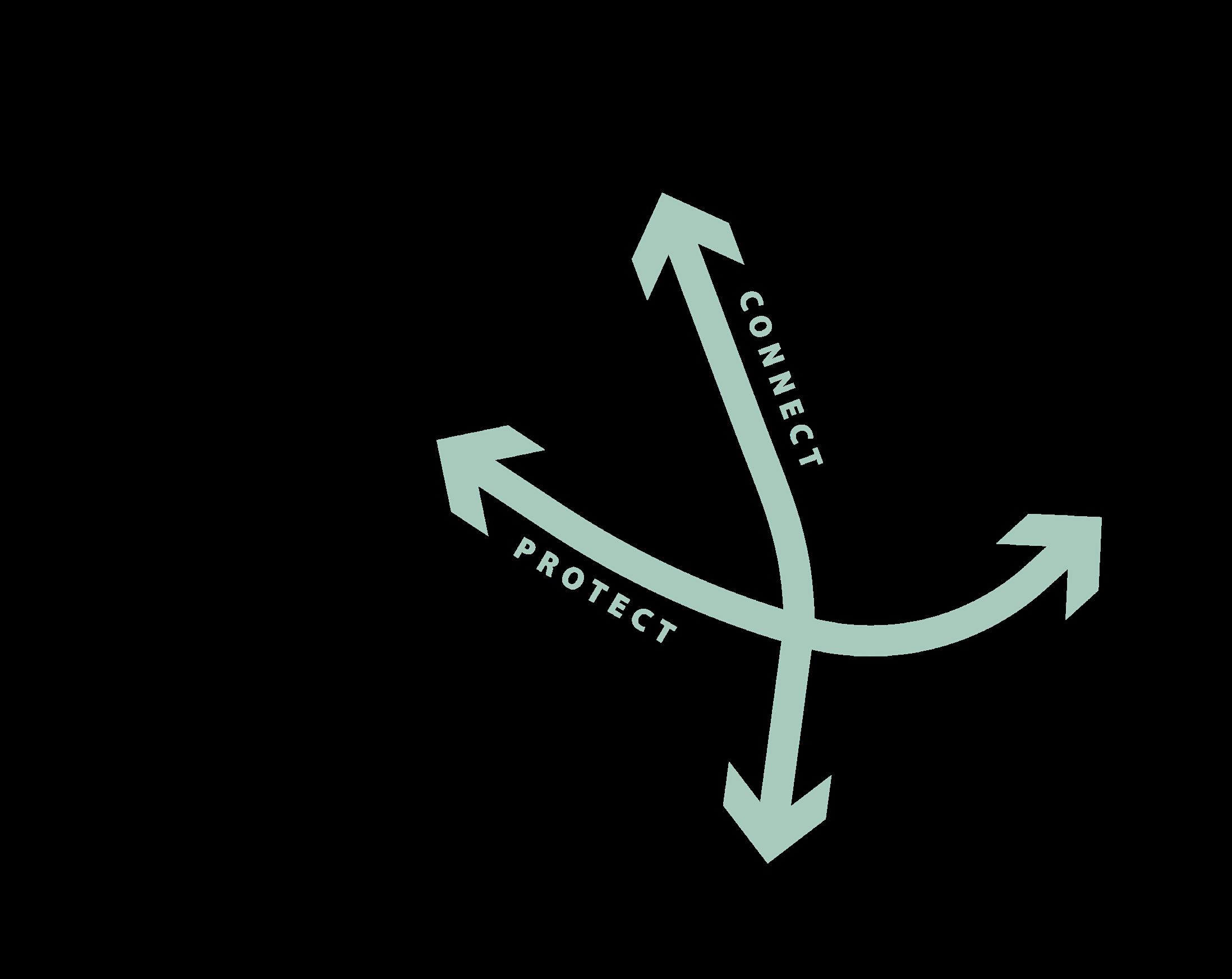
Design Framework
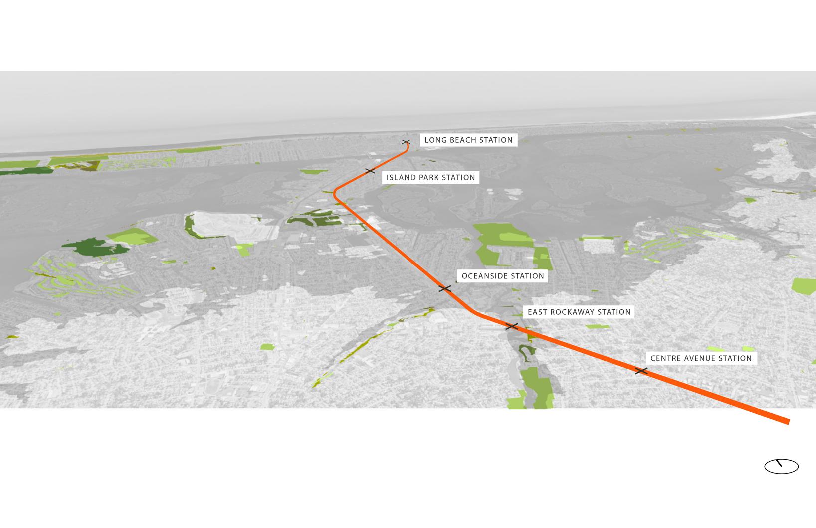
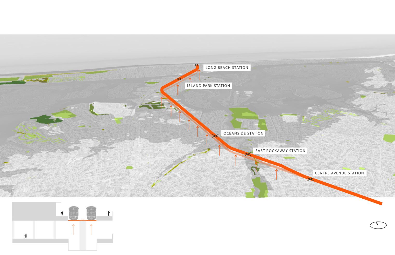
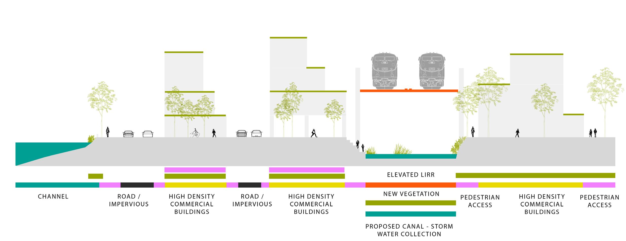
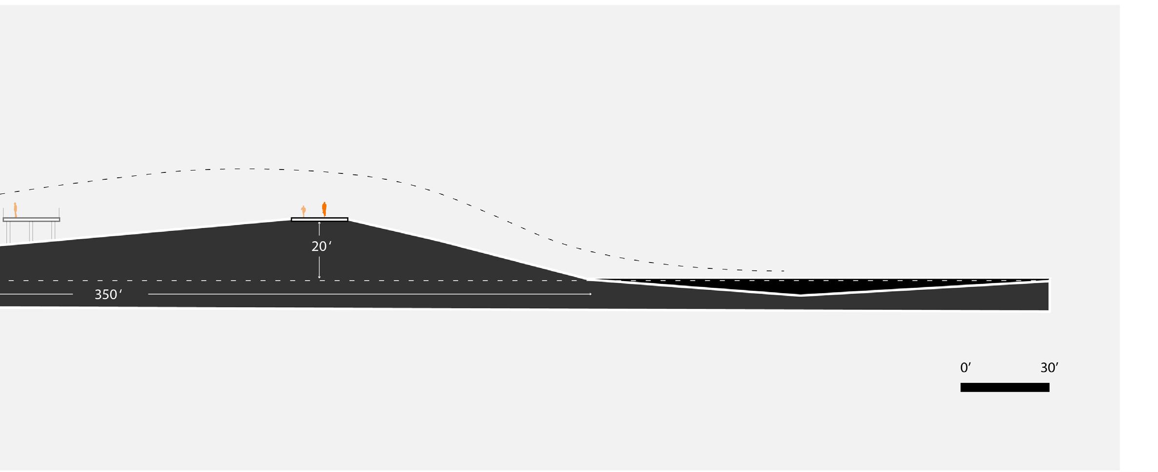
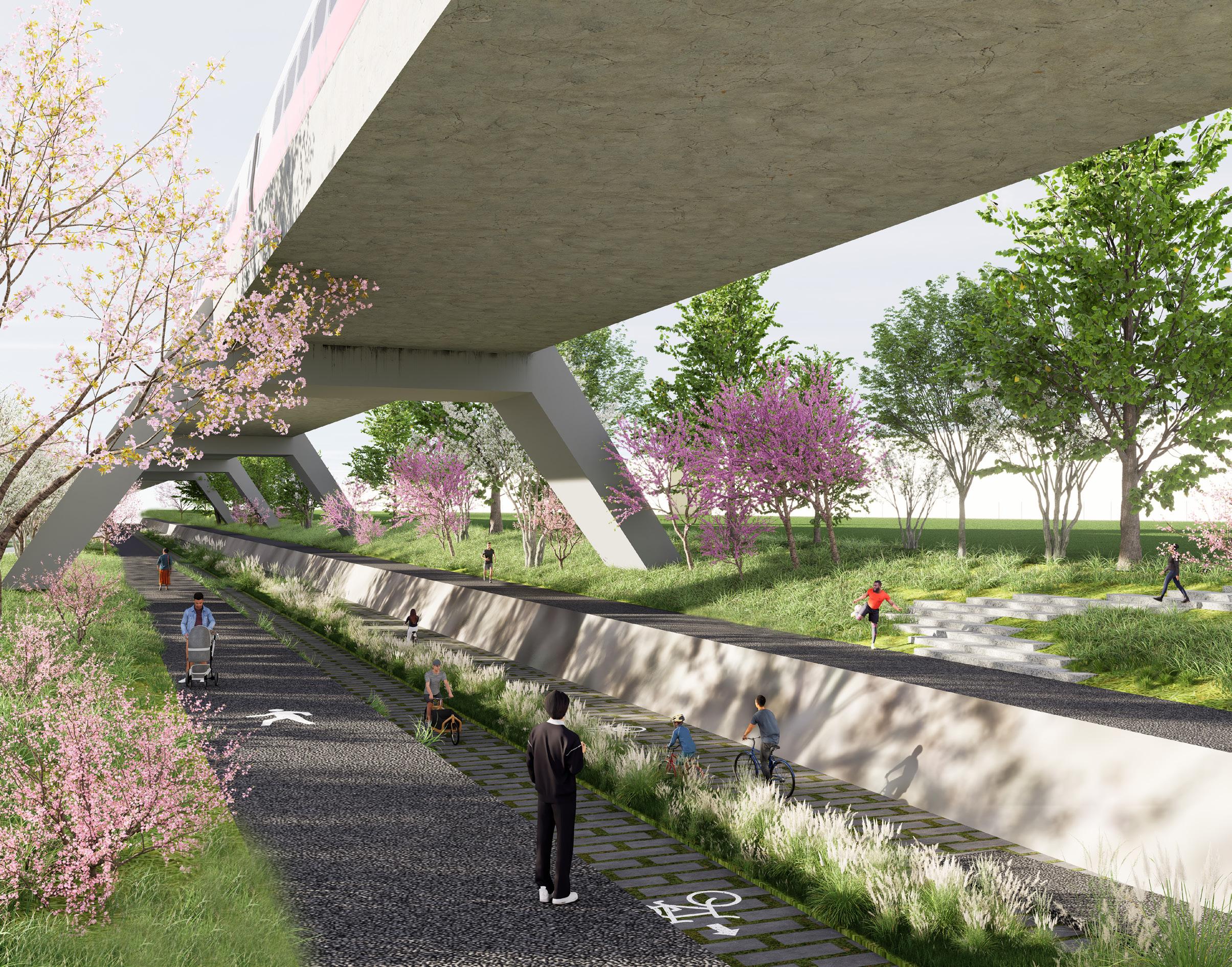
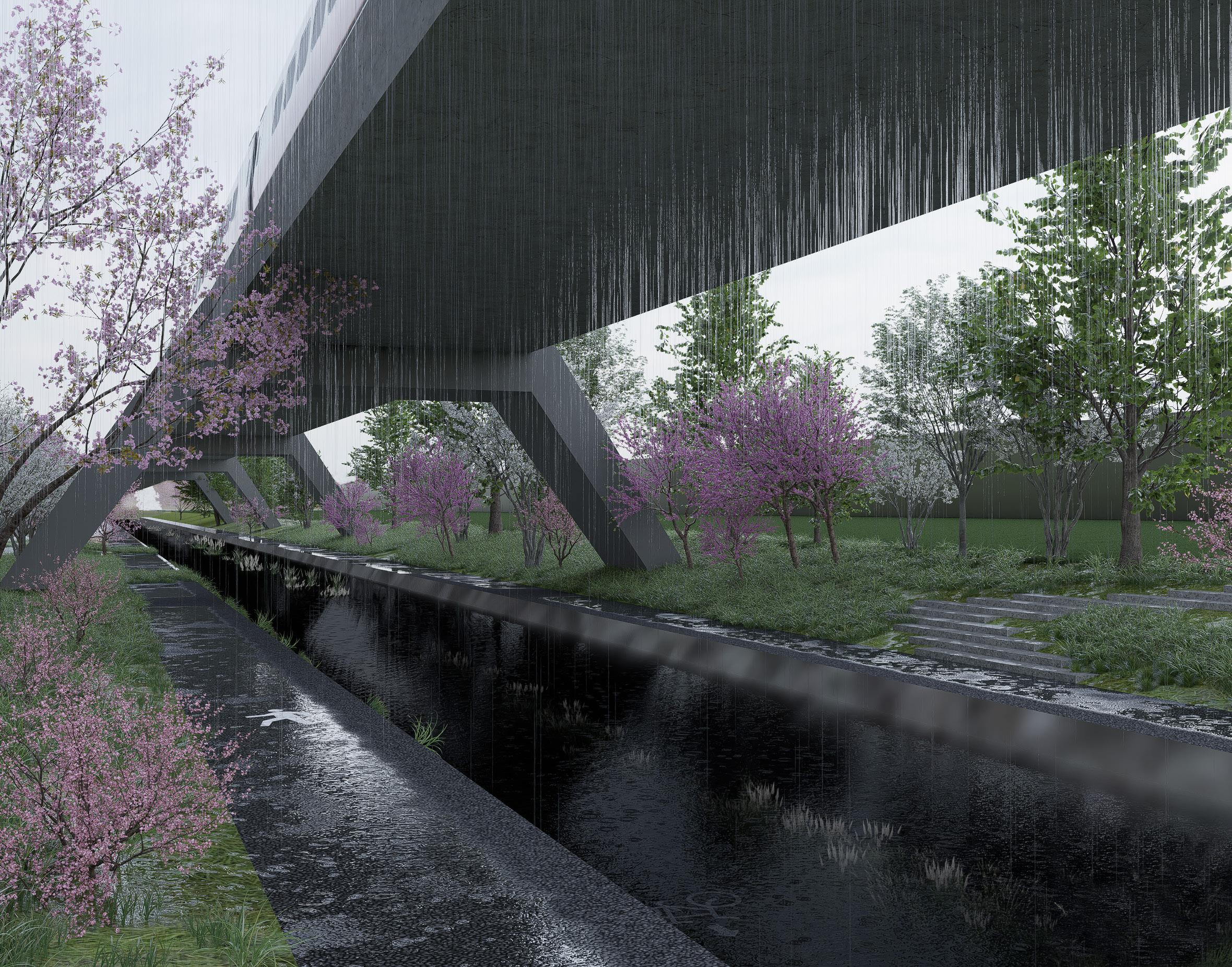
CONCEPTUAL FRAMEWORK | Elevated LIRR Infrastructure Adaptation for a Floodable Public Greenway
TRANSIT RESILIENCE
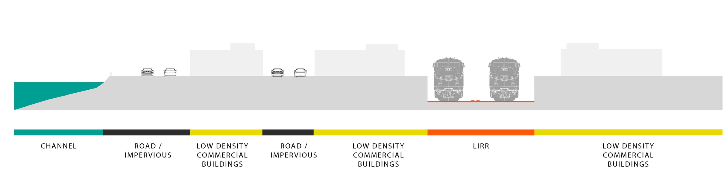
EXISTING CONDITION LIFTED CONDITION +
EXISTING CONDITION
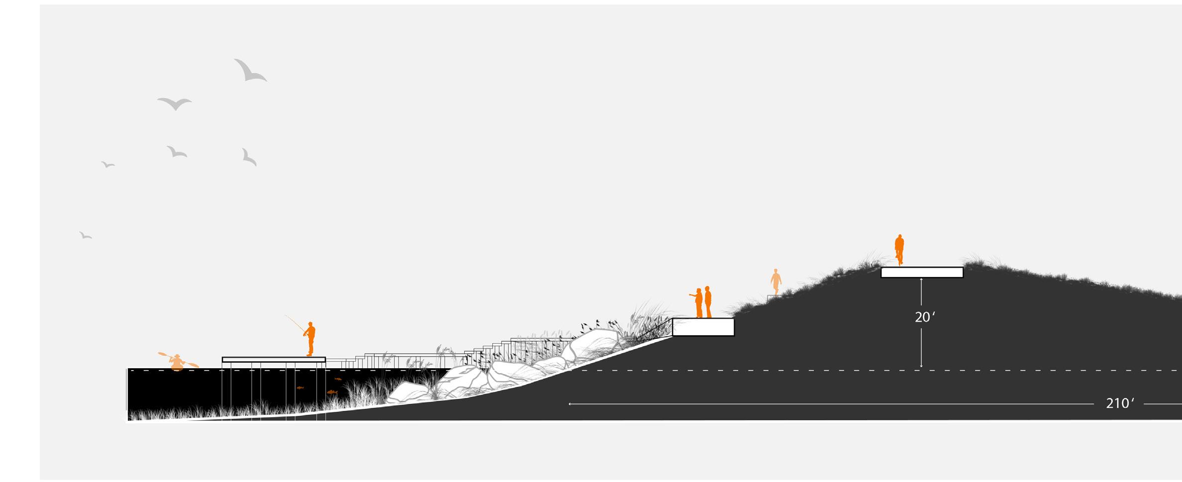
SUNKEN TRACKS CREATE RESERVOIR IN ADDITION TO TREATMENT WETLANDS
CONDITION FLOODED CONDITION
CONCEPTUAL CONDITION
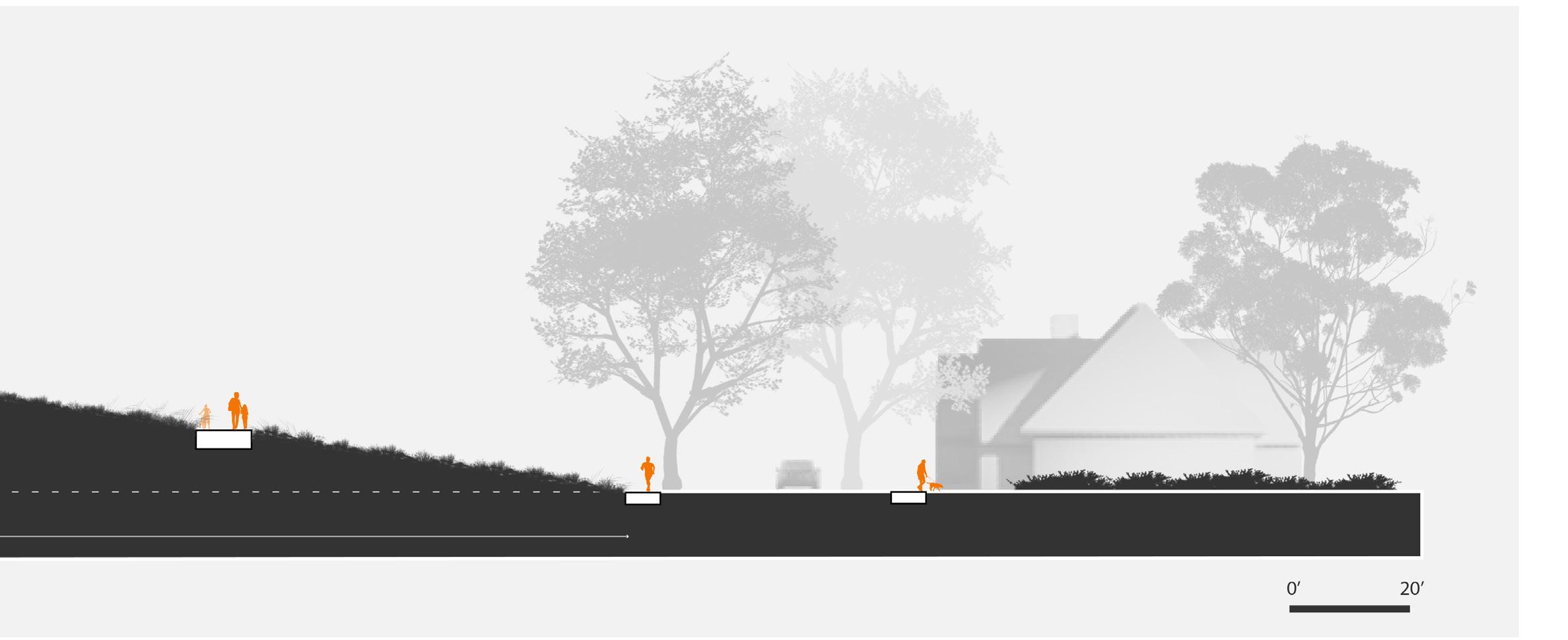
Conceptual Section
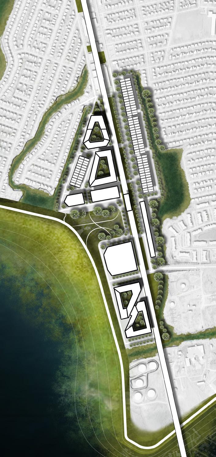
Central LIRR Station
Public Services
Connective Corridor | Dry Conditions
Protective Corridor | Flooded Conditions
FAIRMOUNT CATHEDRAL
Philadelphia, PA | MLA Studio I
Fall 2021
Instructor: Rebecca Popowsky
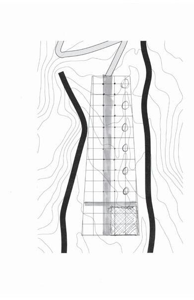
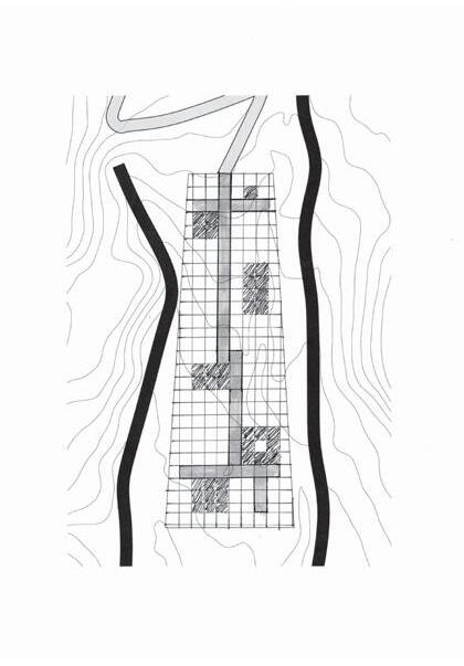
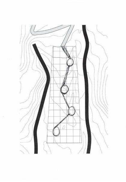
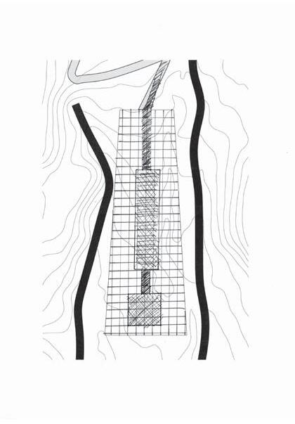
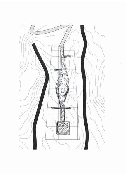
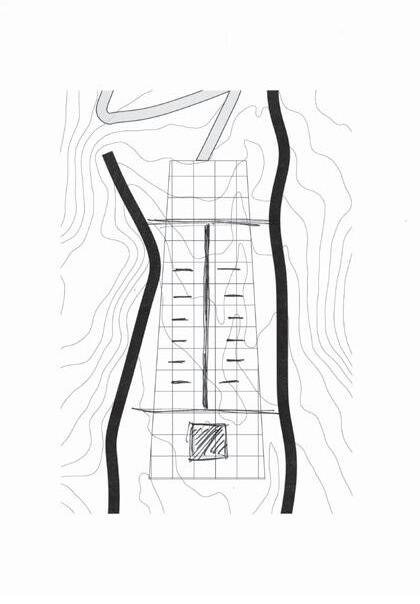
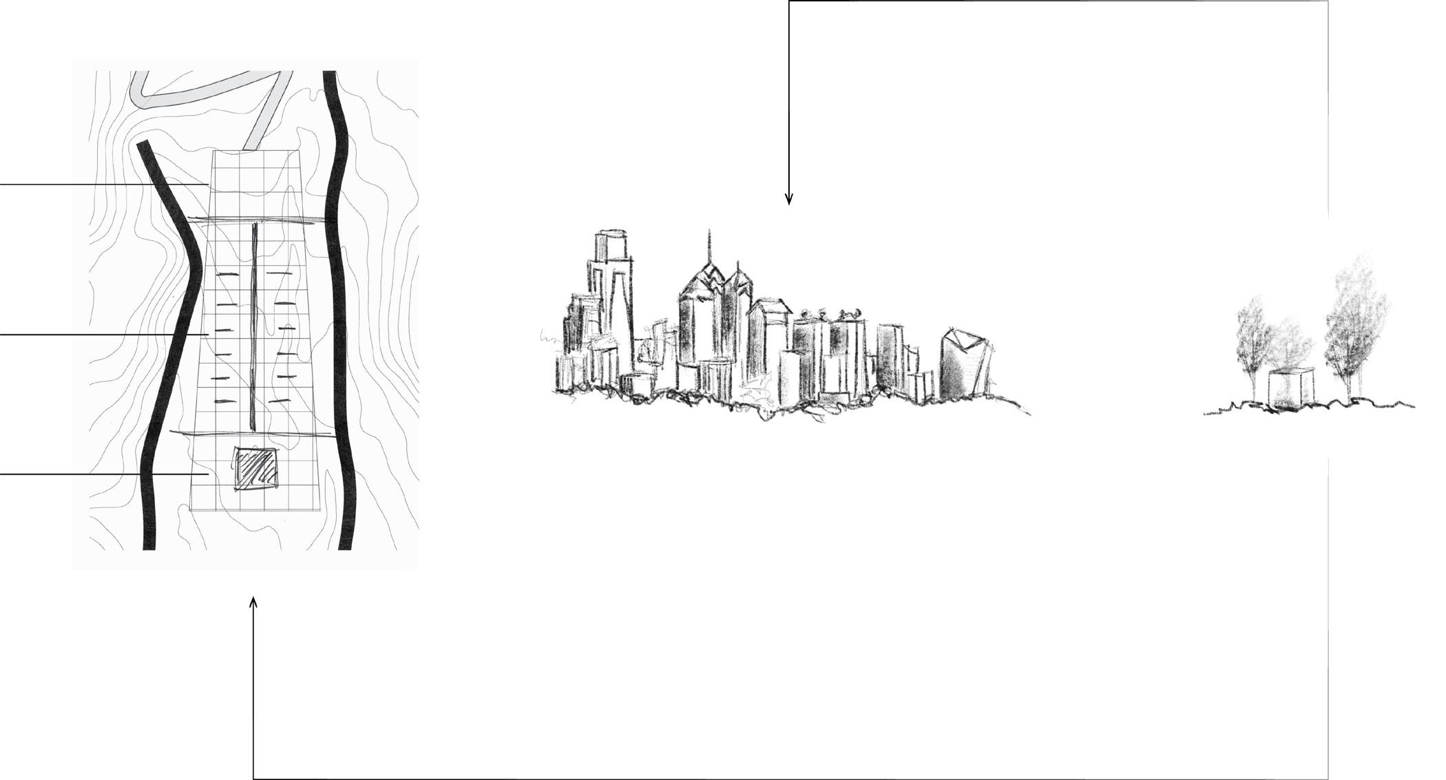
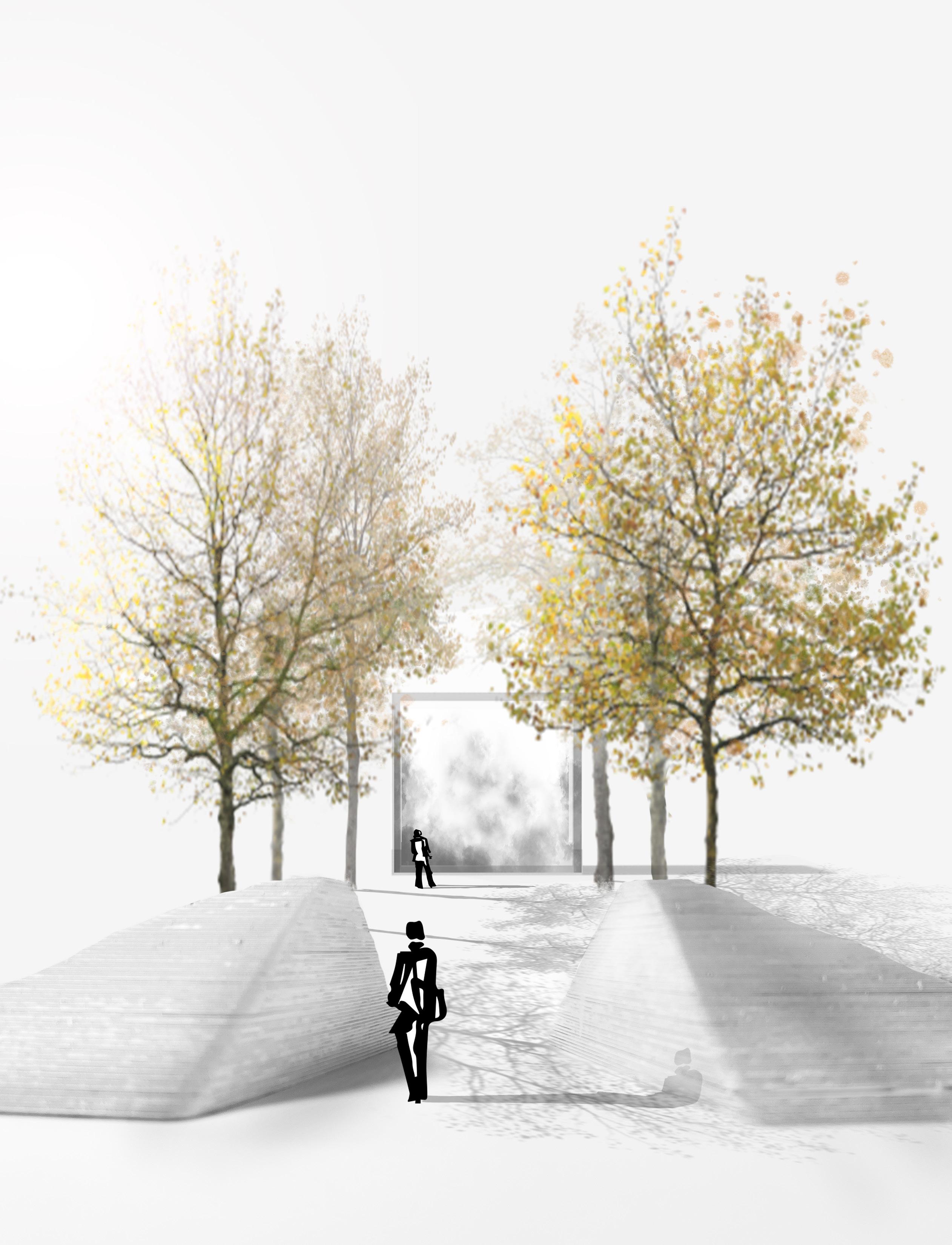
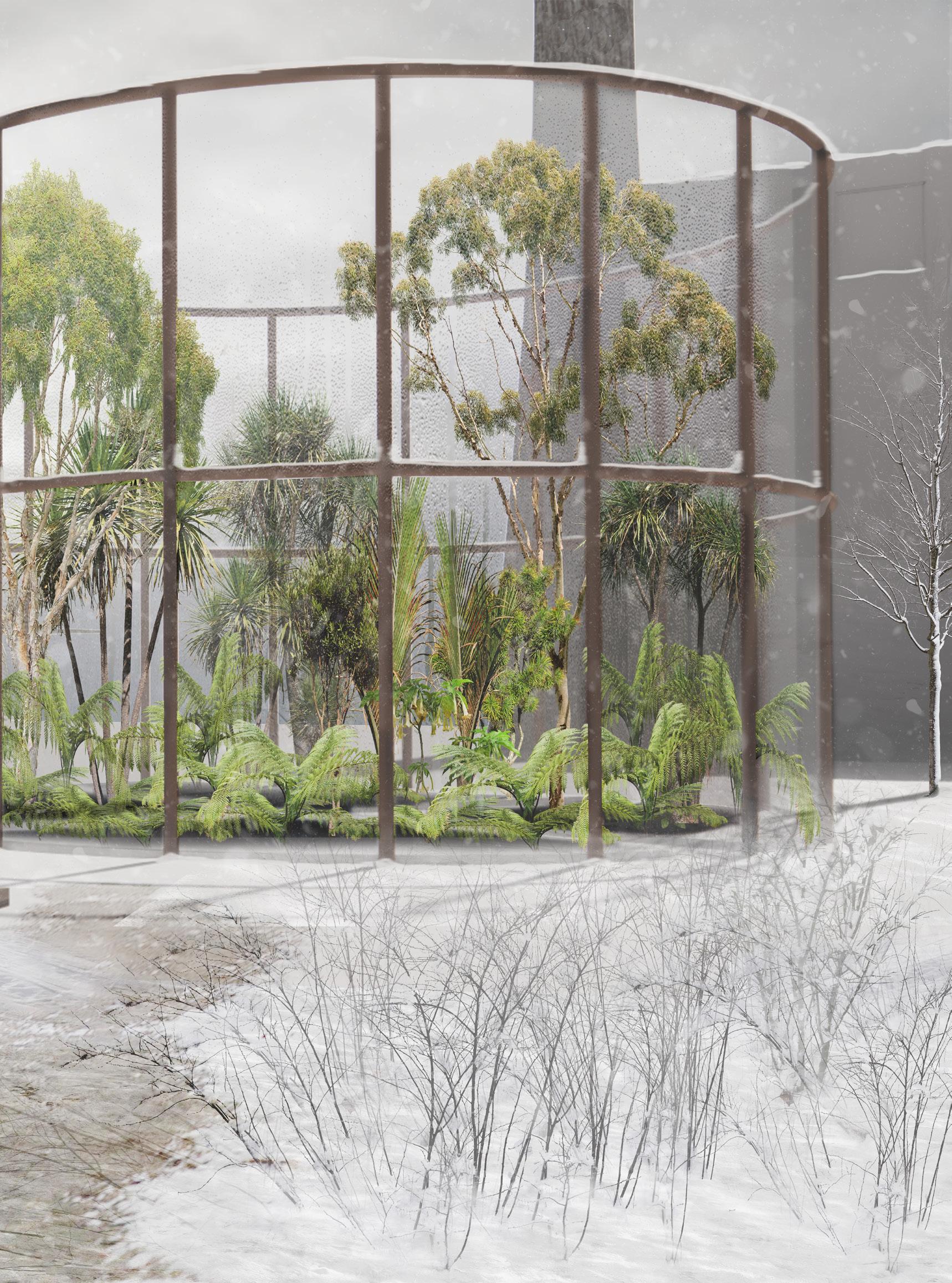
A garden inspired by the ways infrastructure and our society’s reliance on carbon controls every inch of our landscapes. Nestled in a dense urban forest in Fairmont Park yet simultaneously near a 8-lane expressway, the garden is structured into three components taking on the form of a cathedral: the Narthex, Aisle, and Altar.
REMOTE SENSING OF CO 2 EMISSIONS
ALTAR OUTPUTS STEAM FROM REAL TIME DATA TO CREATE ABSTRACTED CO 2 VISUALIZATION
NARTHEX
AISLE
ALTAR
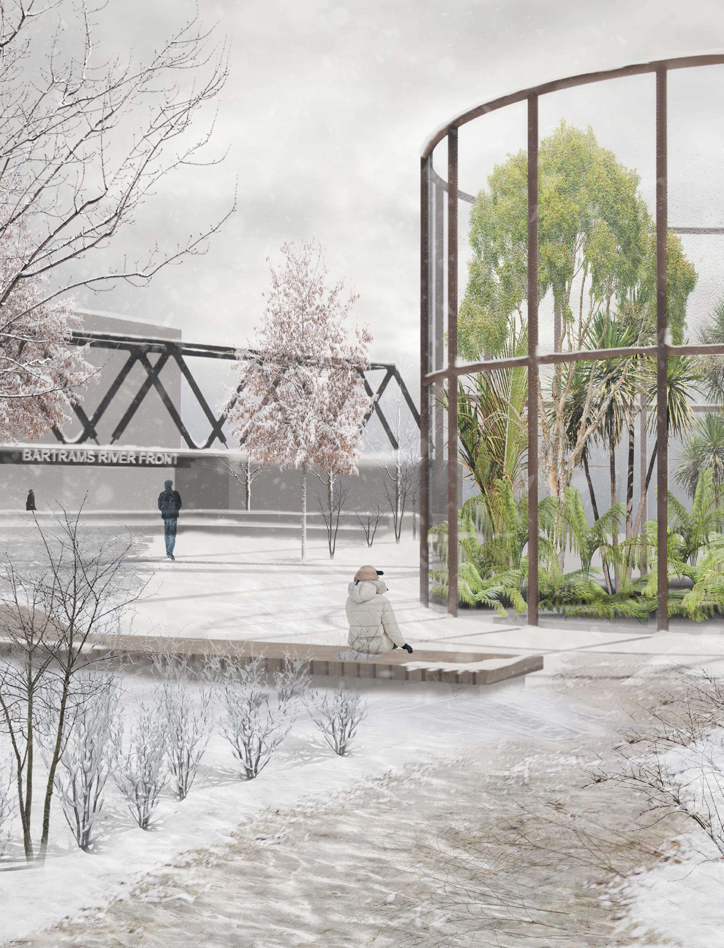
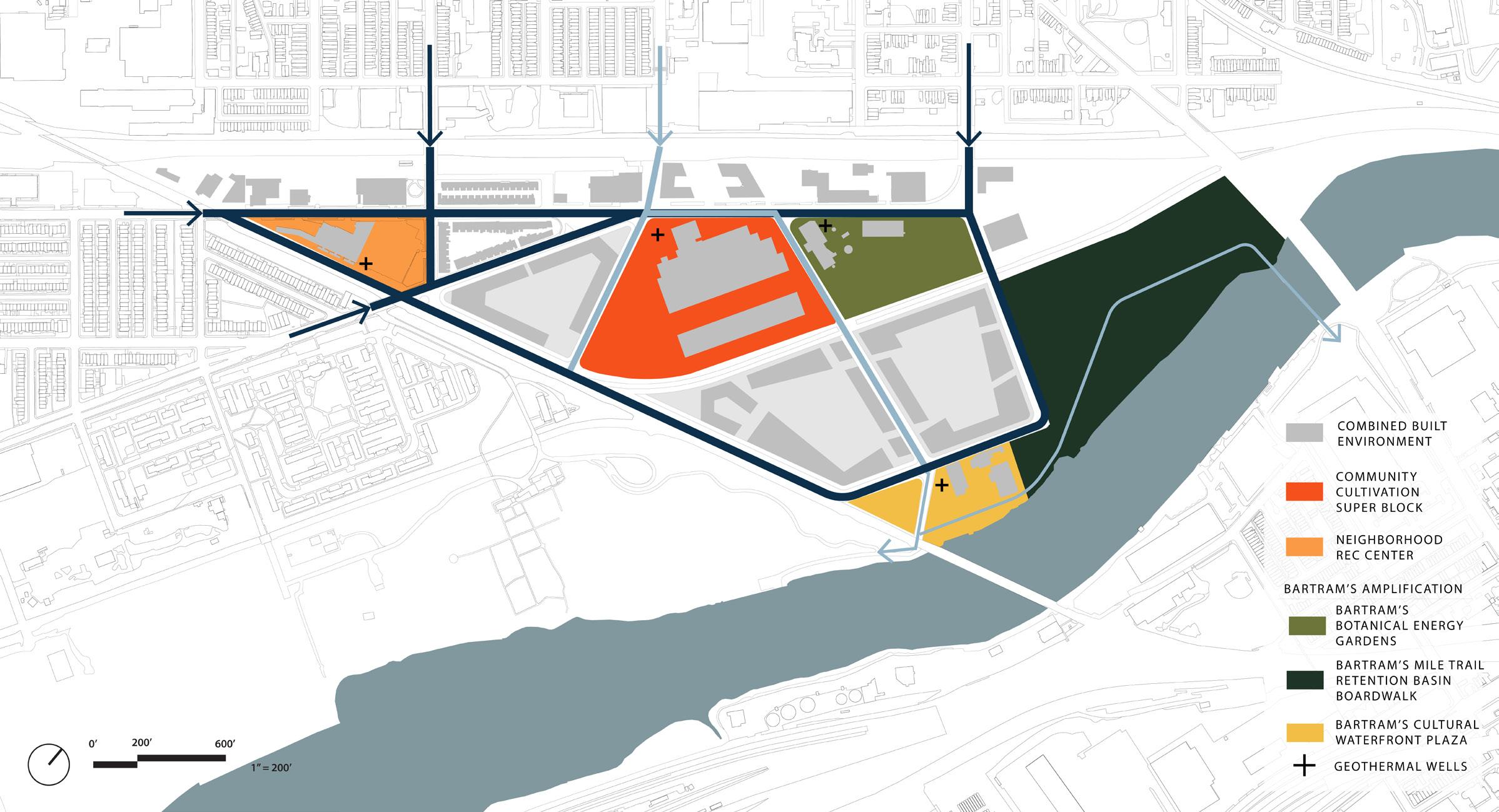
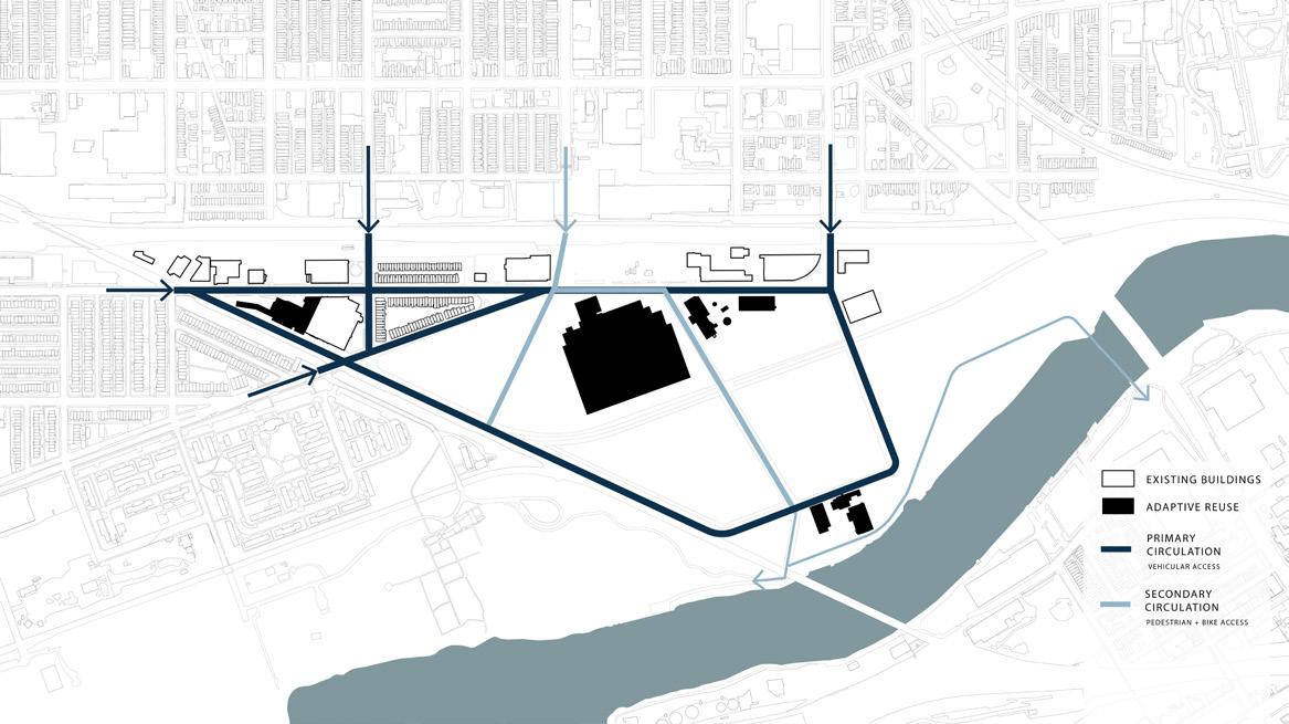
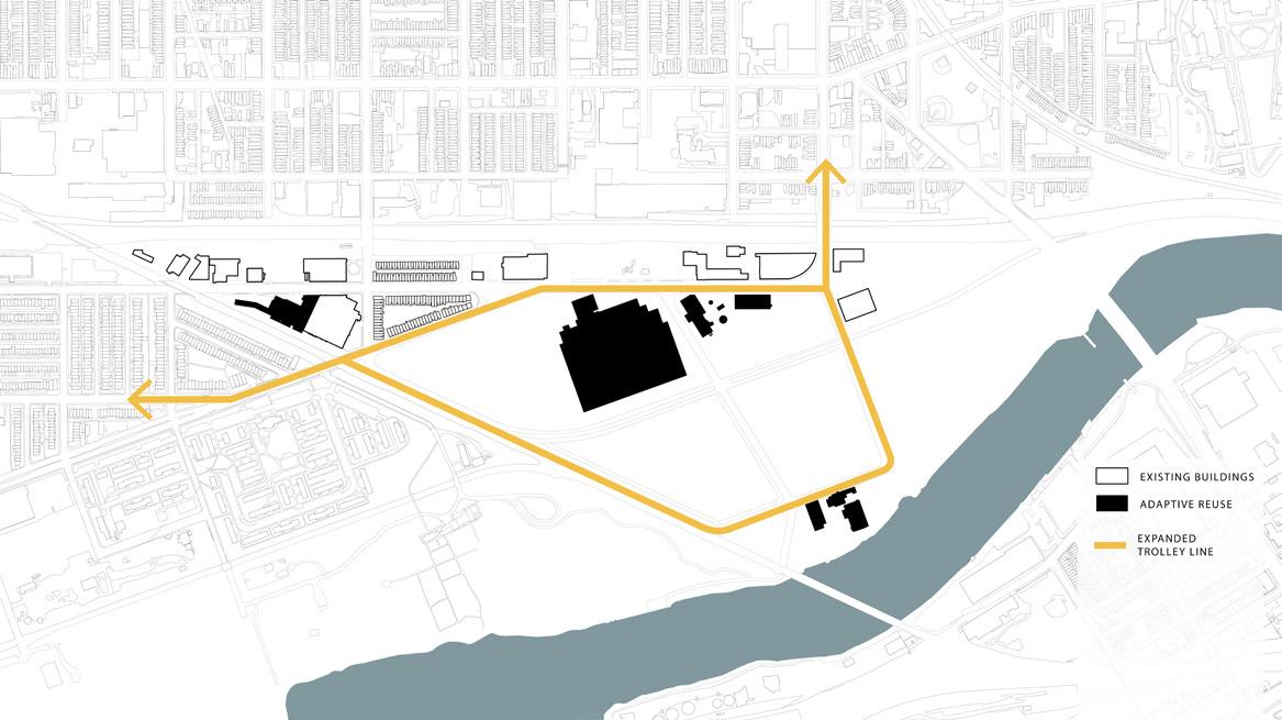
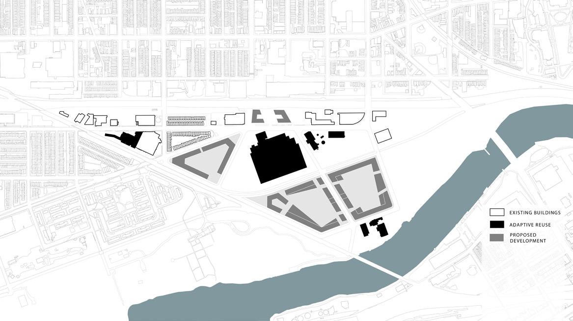
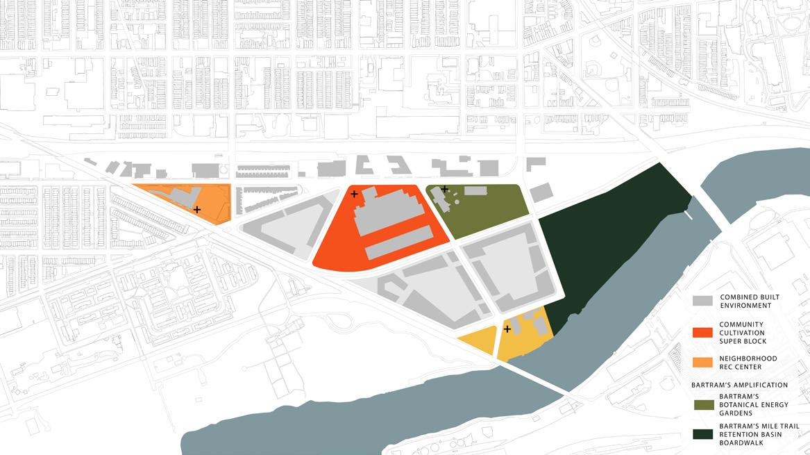
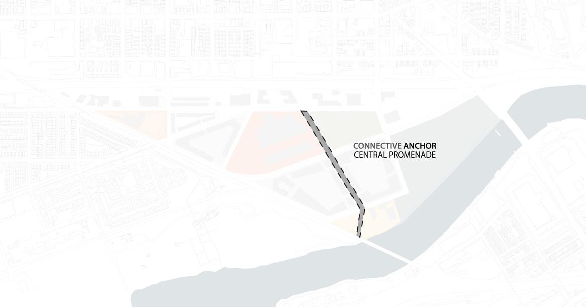
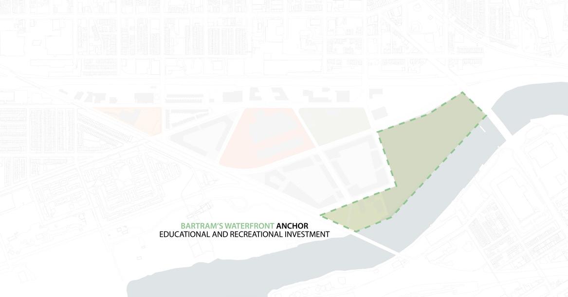
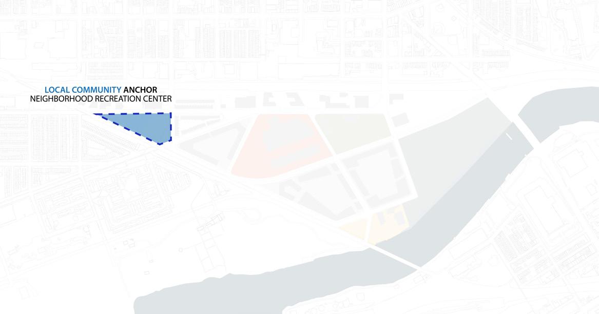
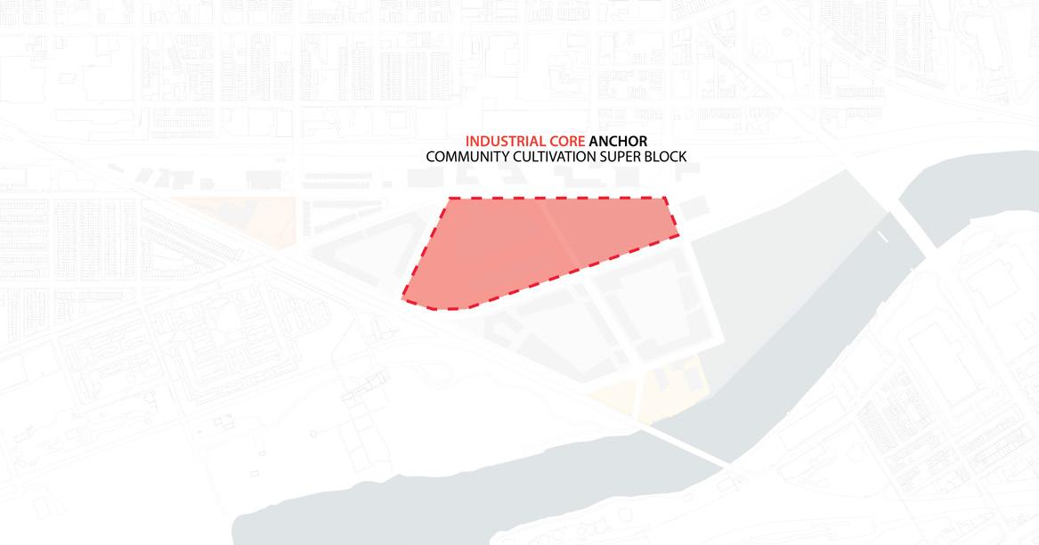
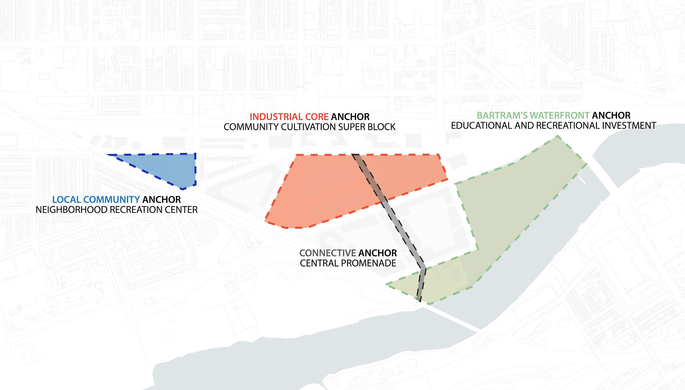
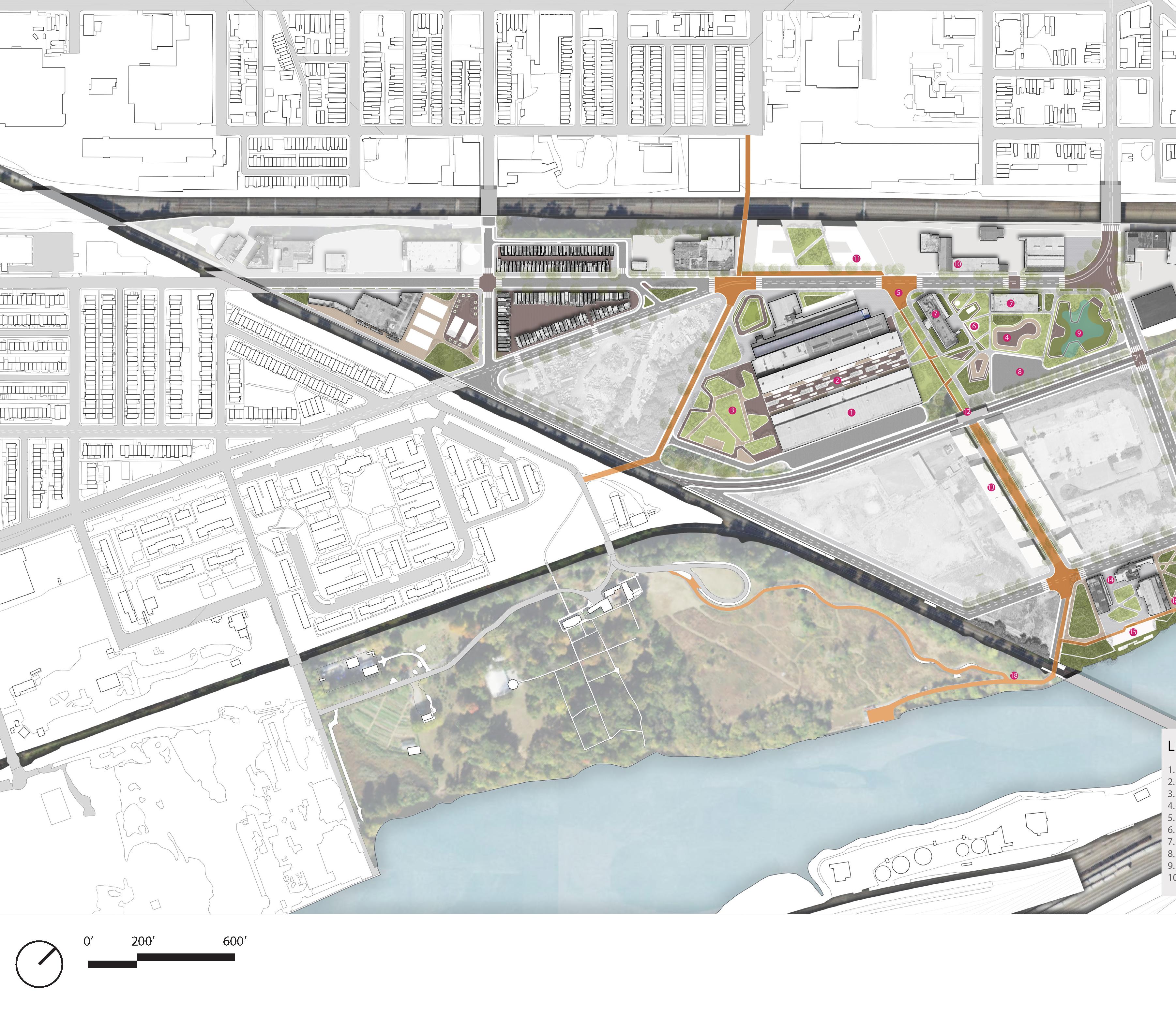
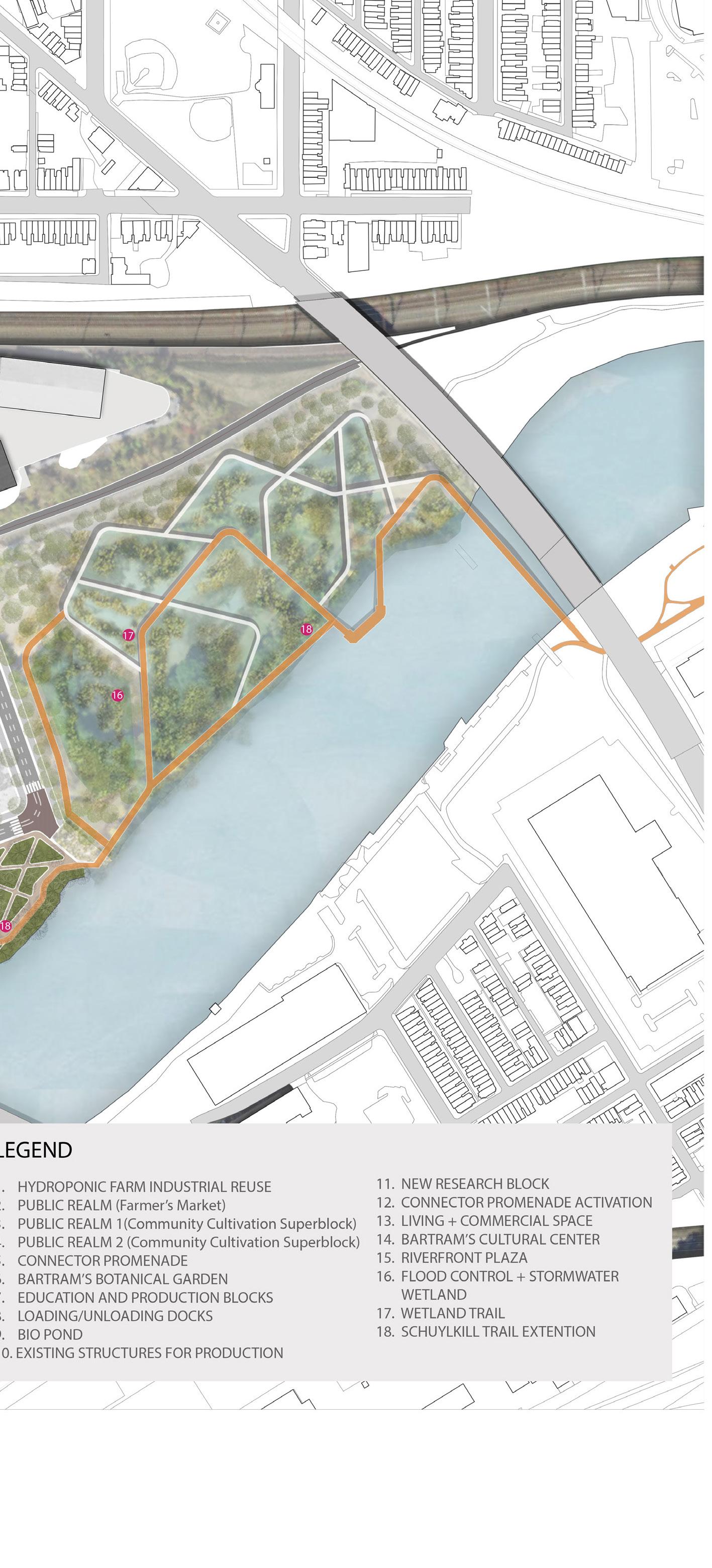
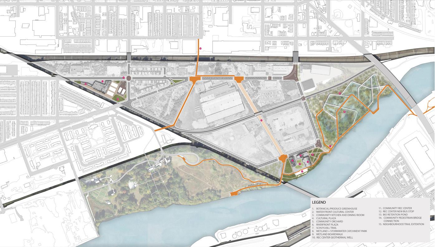
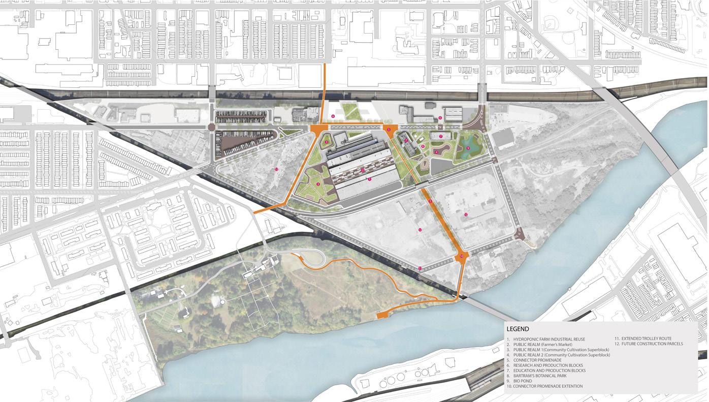
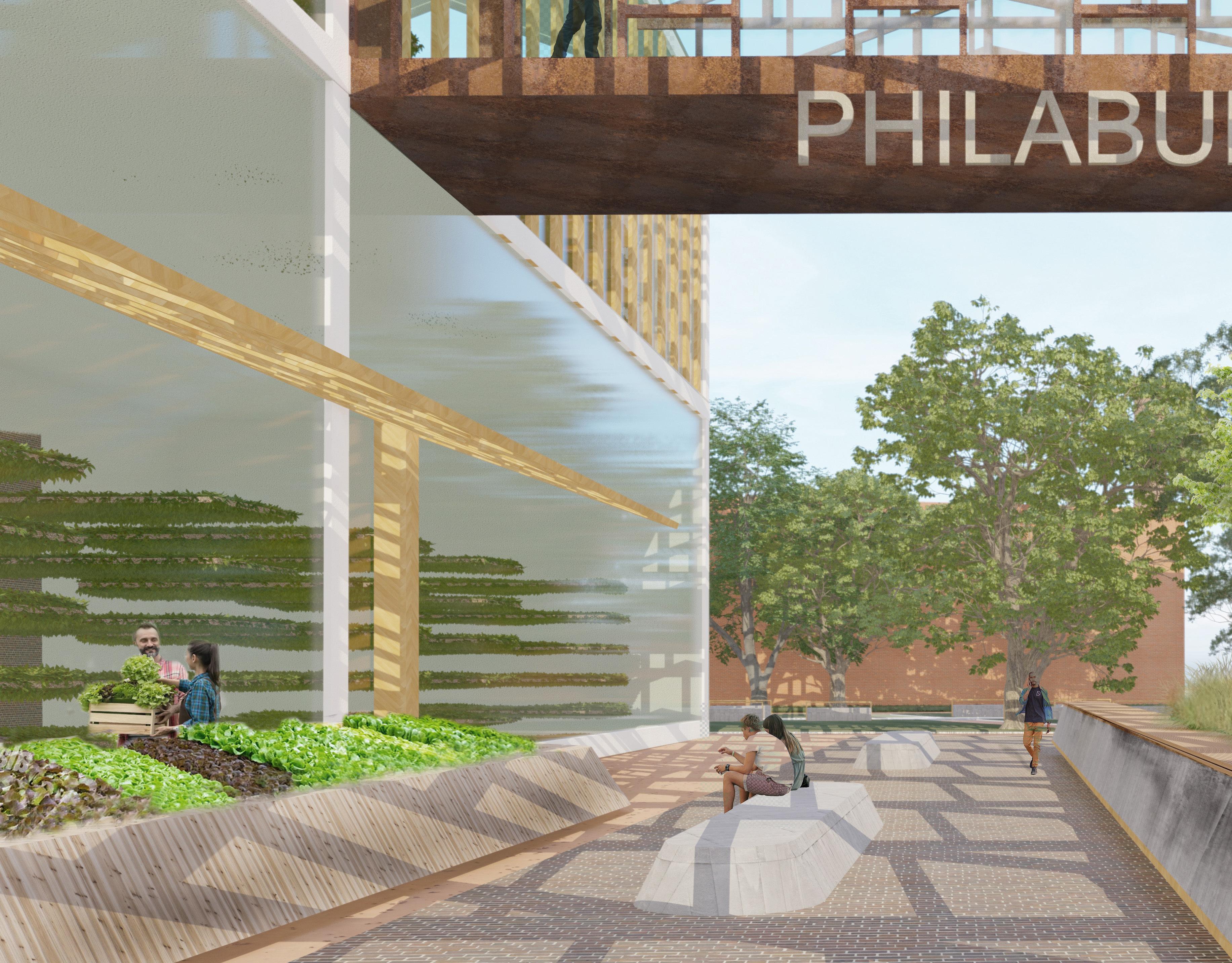
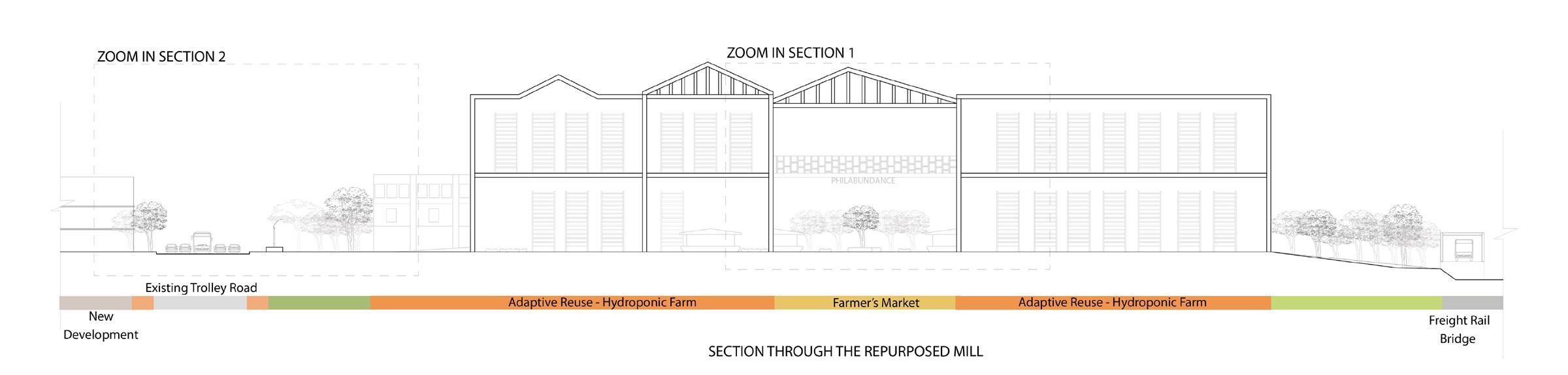
BRINGING IN BARTRAM’S
Philadelphia, PA | MLA Studio IV
Spring 2023
Instructor: Anna Darling
Featured in Landscapes in Process Issue 27
Work completed in collaboration with Rachita Saxena MLA ‘24
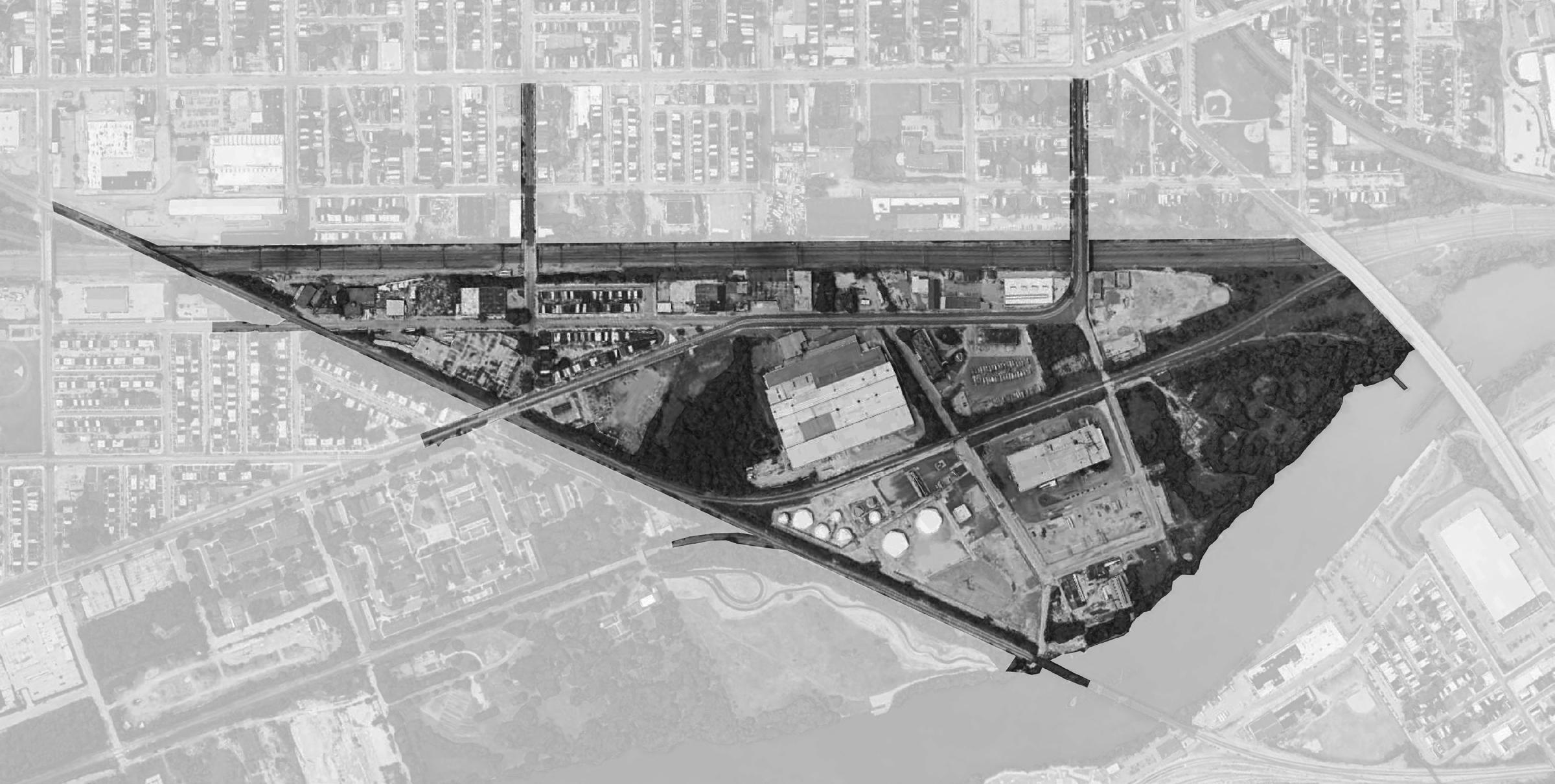
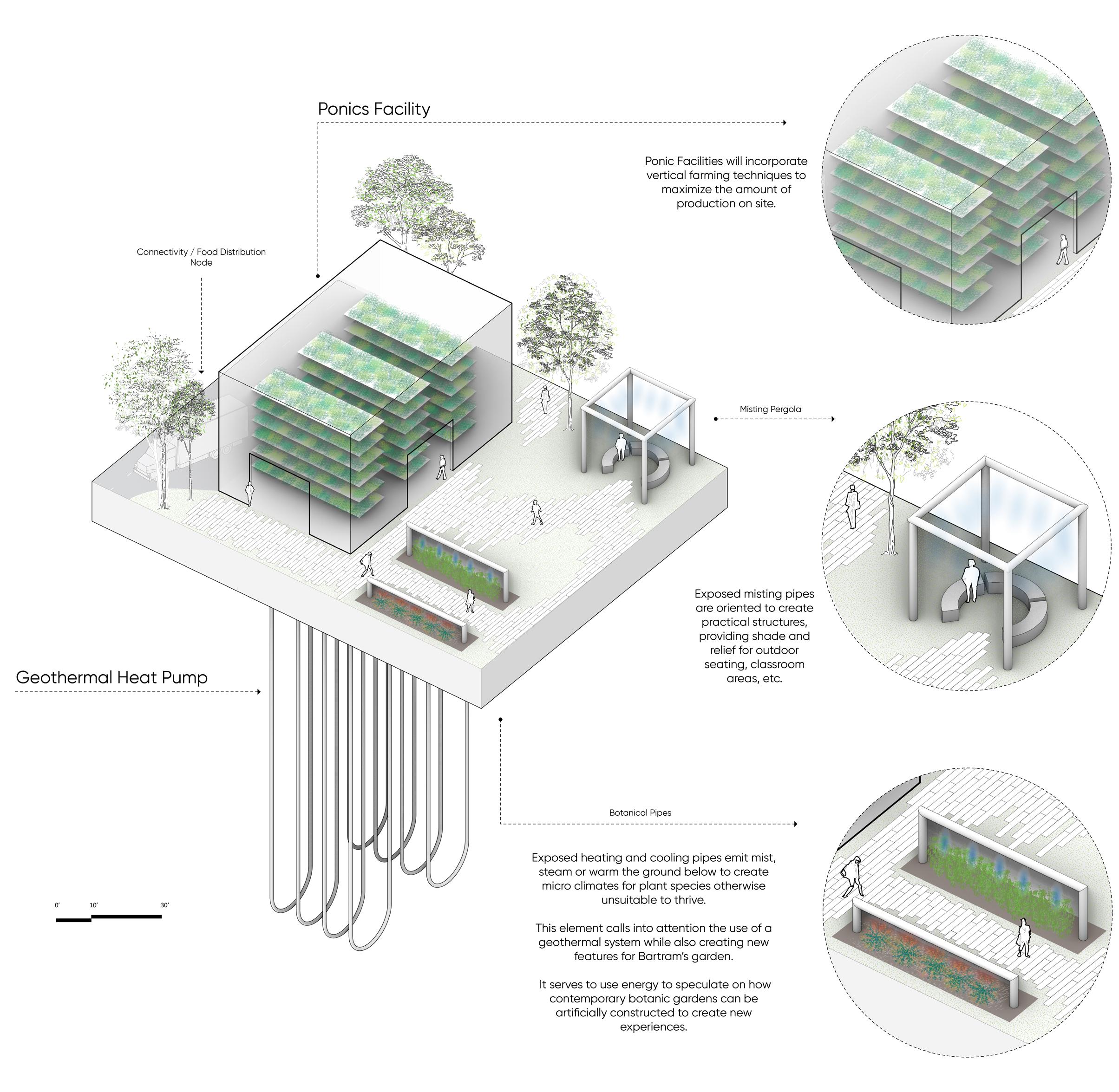
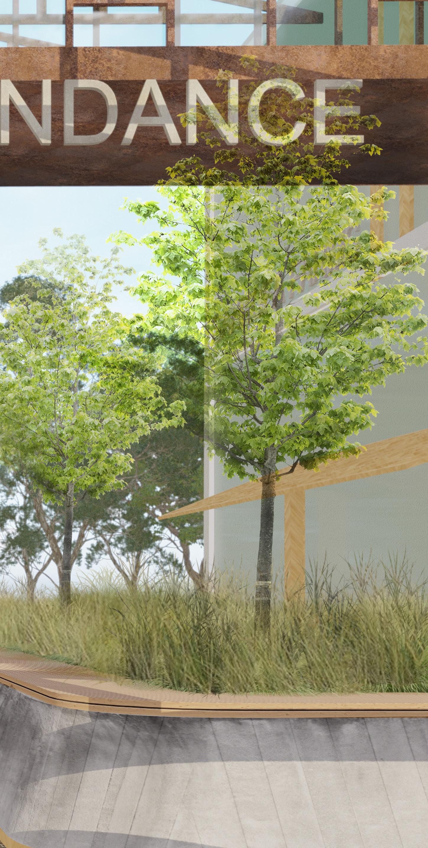
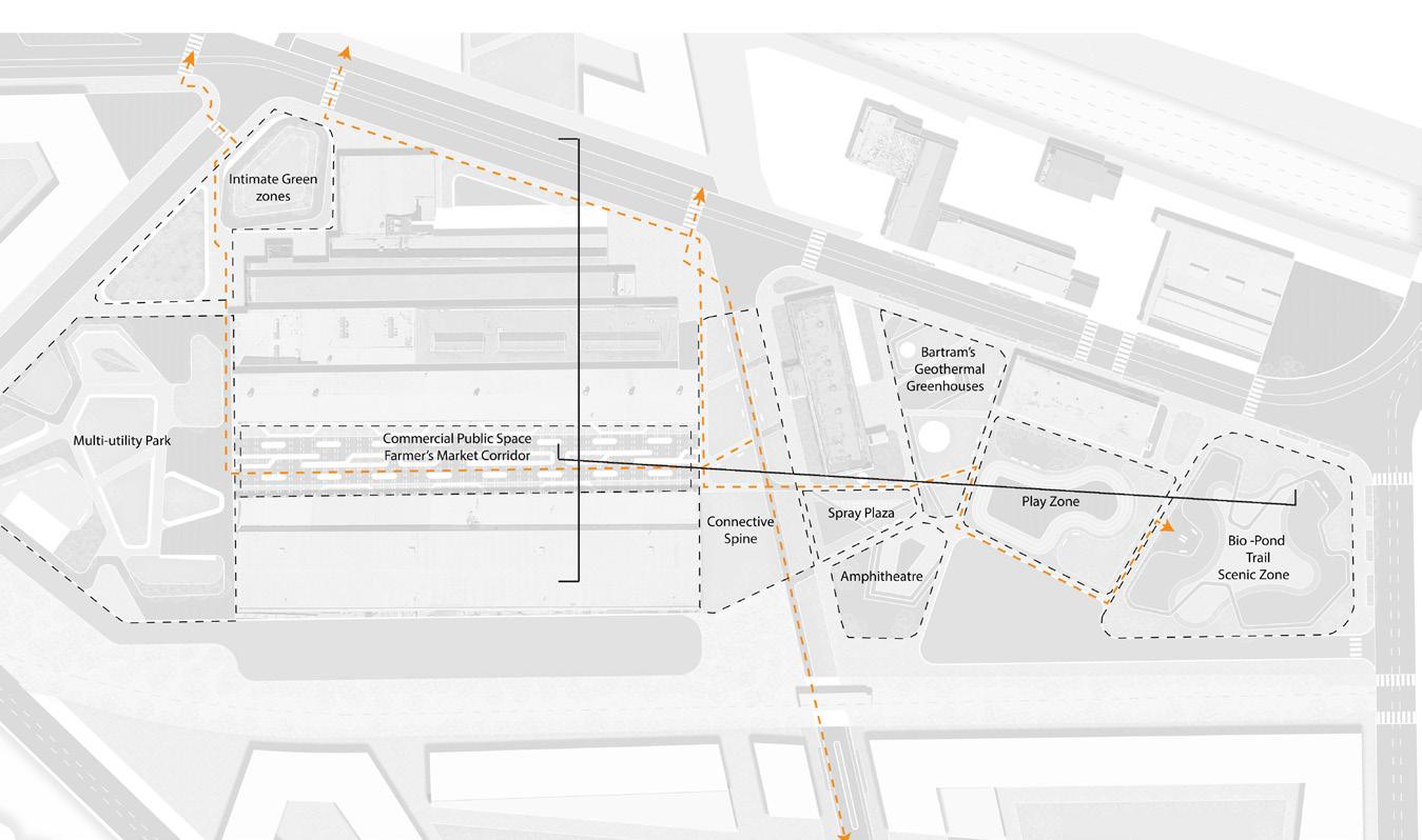
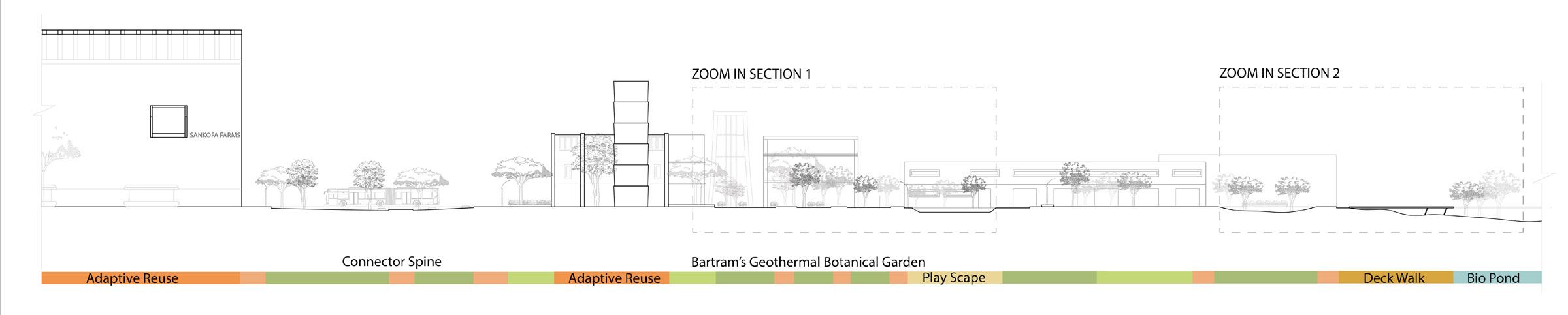
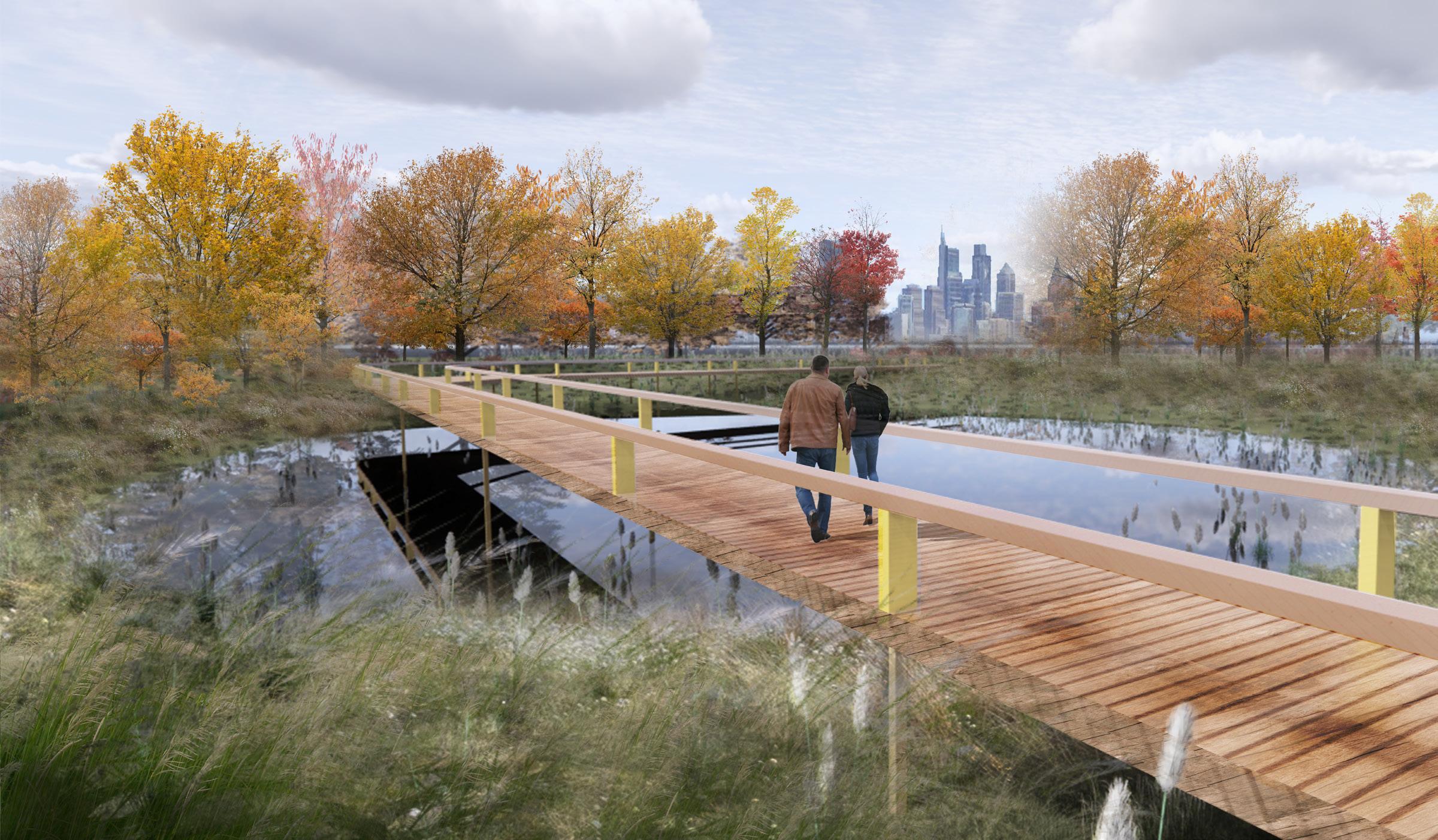
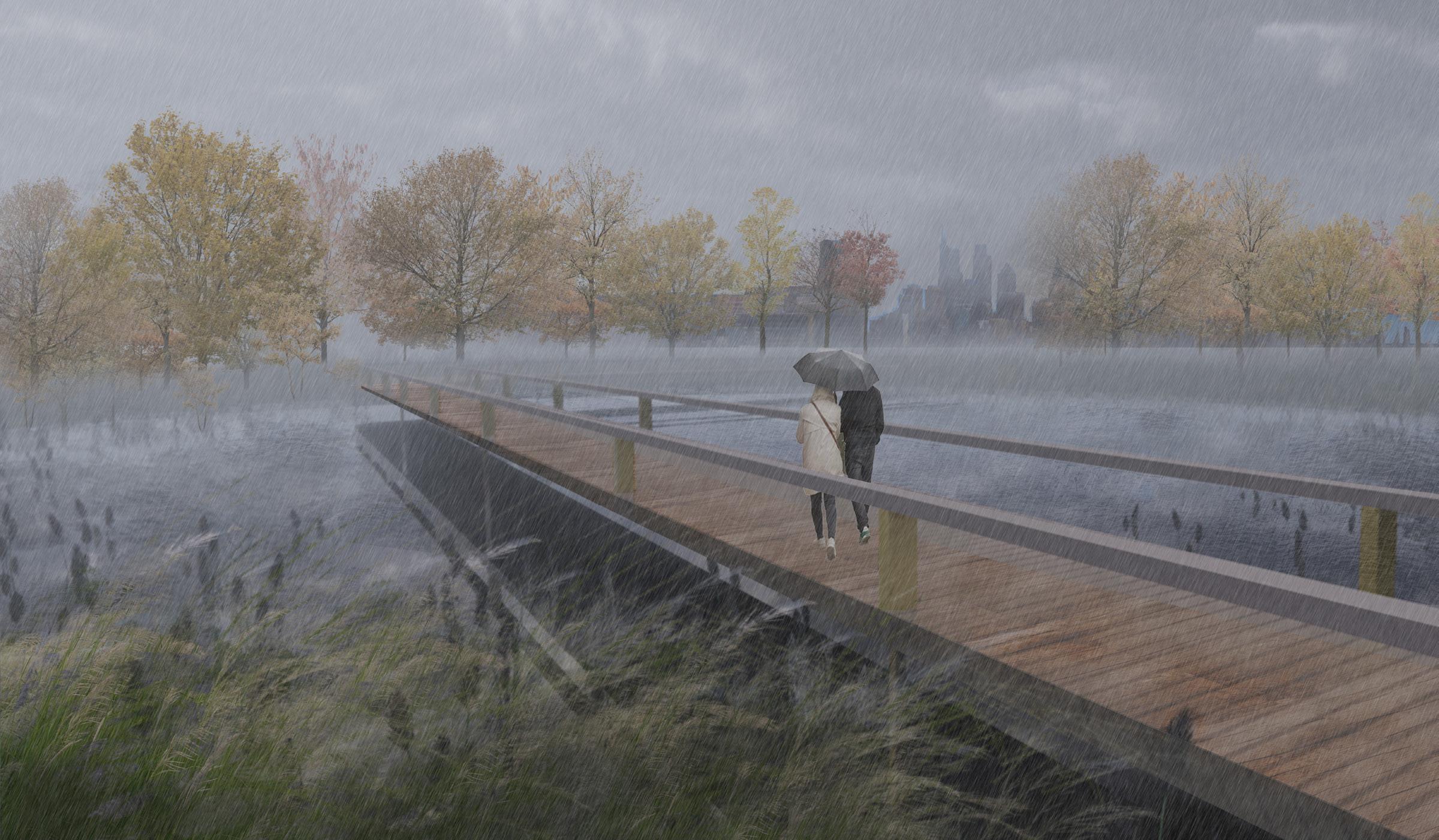
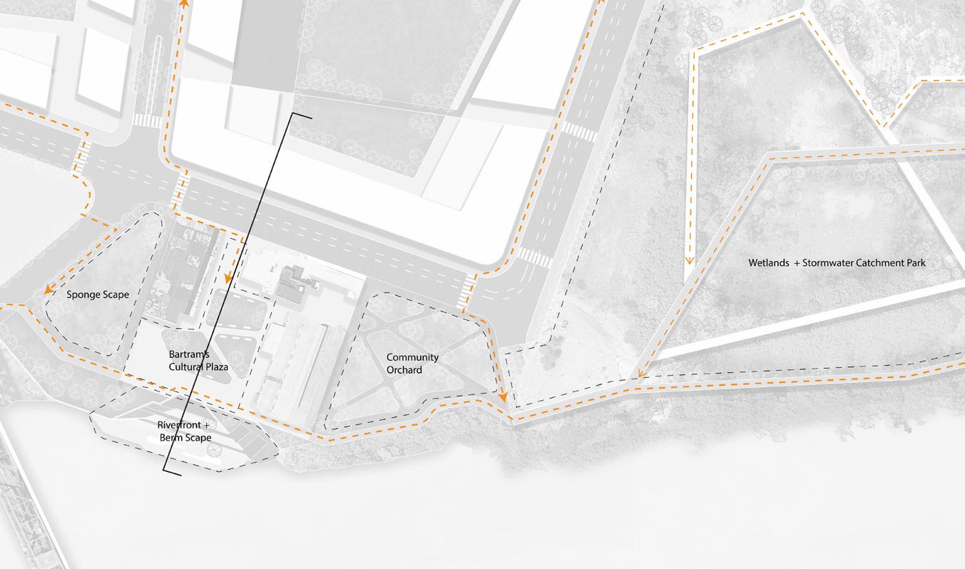
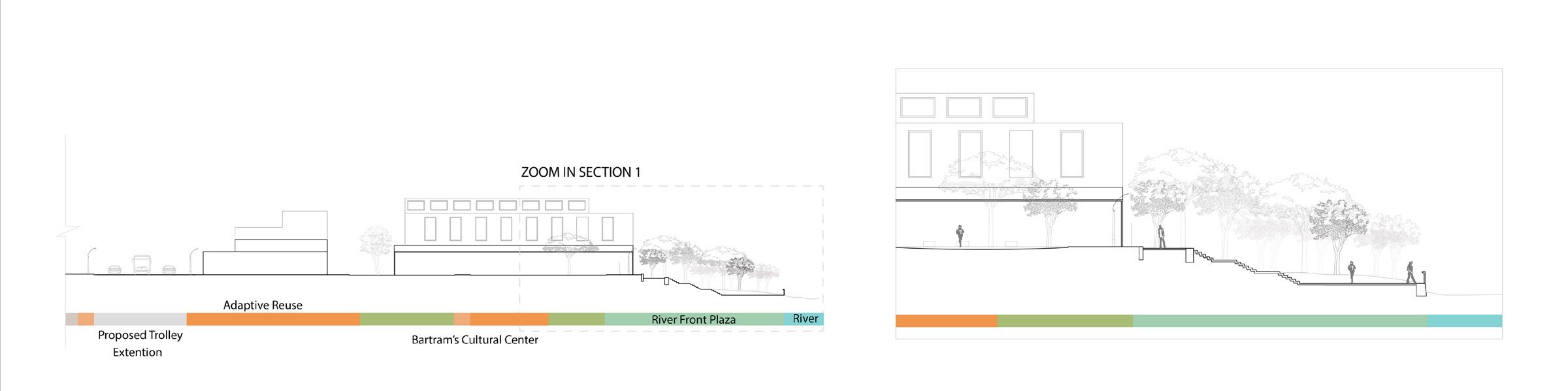
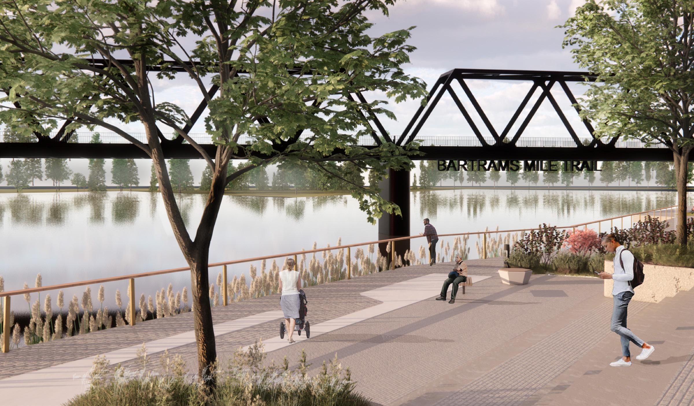
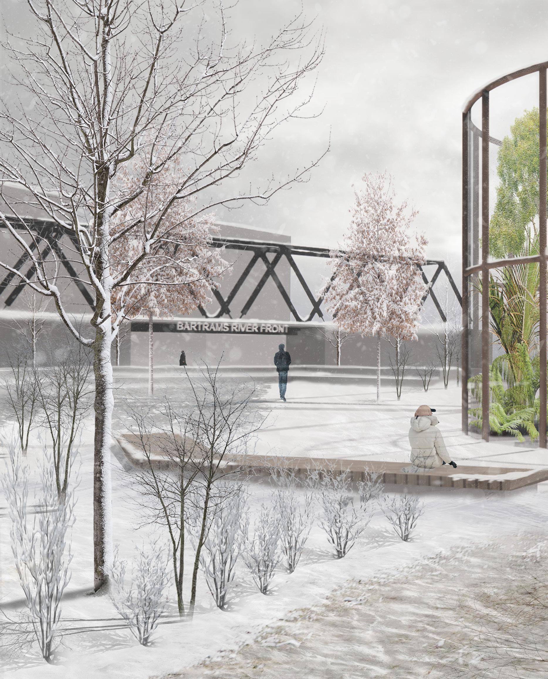
This site, positioned on the edge of the Schuylkill River adjacent to the historic Bartram’s Garden, is designed for both a low and high investment strategy. The project’s framework is driven by two sources of inspiration: Bartram’s Garden and the site’s abandoned industrial buildings. The design aims to amplify Bartram’s by bringing in community and vertical farming techniques, additional geothermal wells for power, and new botanic garden spaces. By investing in the existing buildings, the design reconfigures a new industrial core, exhibits new public garden spaces, and houses education for that enhances Bartram’s mission.
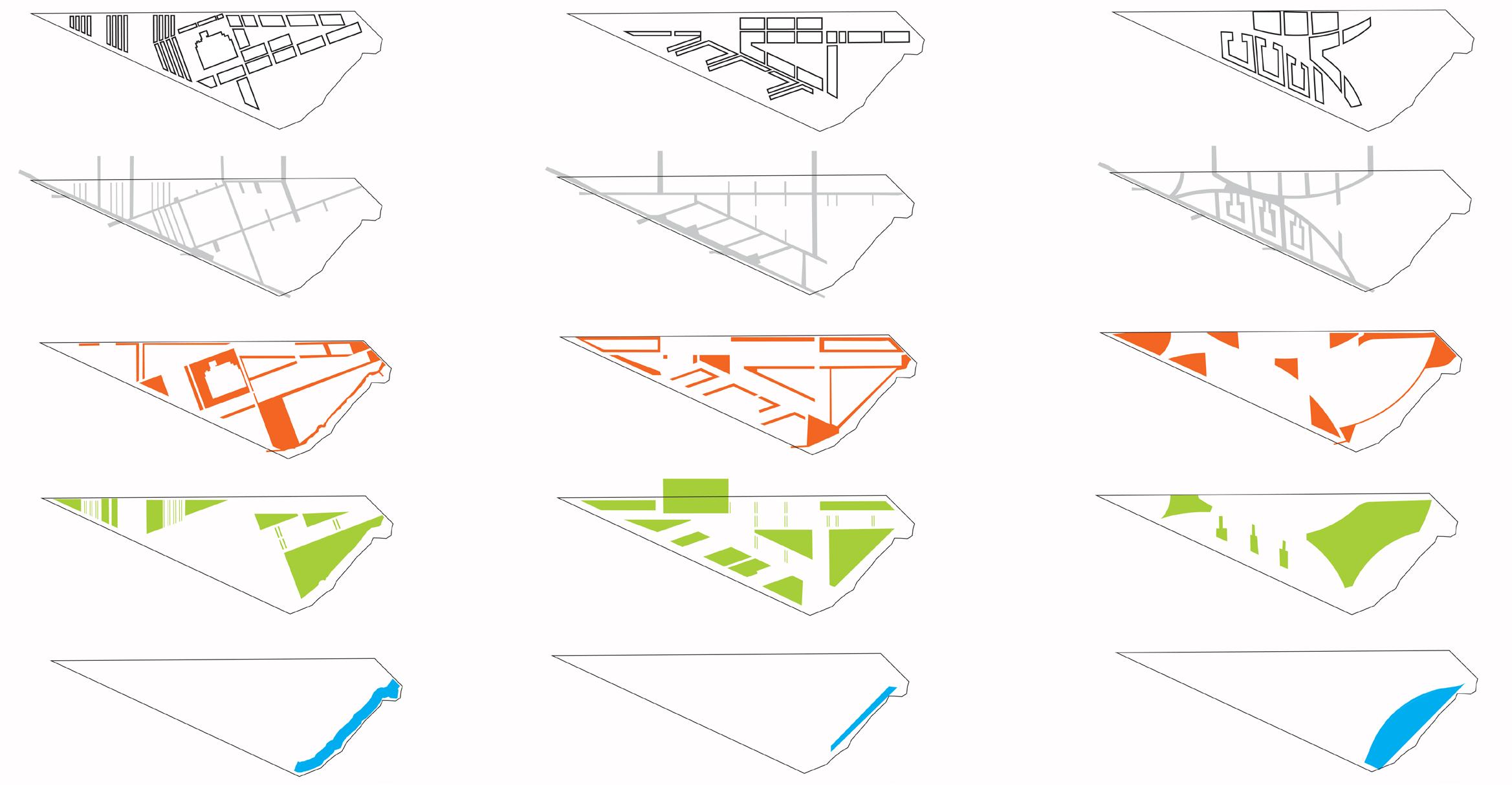
Housing Oriented Fabric Central Campus Activated Edges
NORTH FRANKLIN TOWNSHIP GREENWAY
Washington, PA | PennPraxis + PORT Urbanism
September 2023 - March 2024
In collaboration with Nick Jabs & Anna Darling (PORT) & Joe Bondi (PennPraxis)
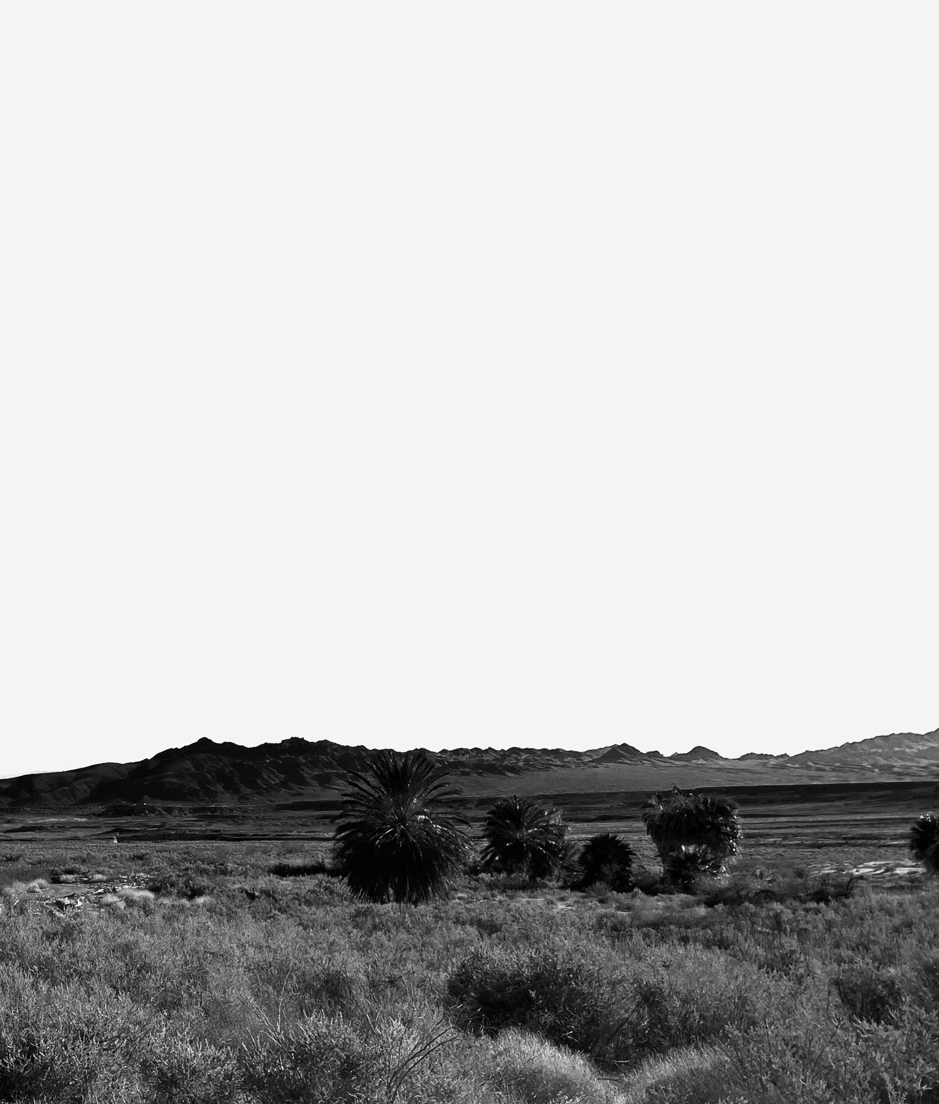
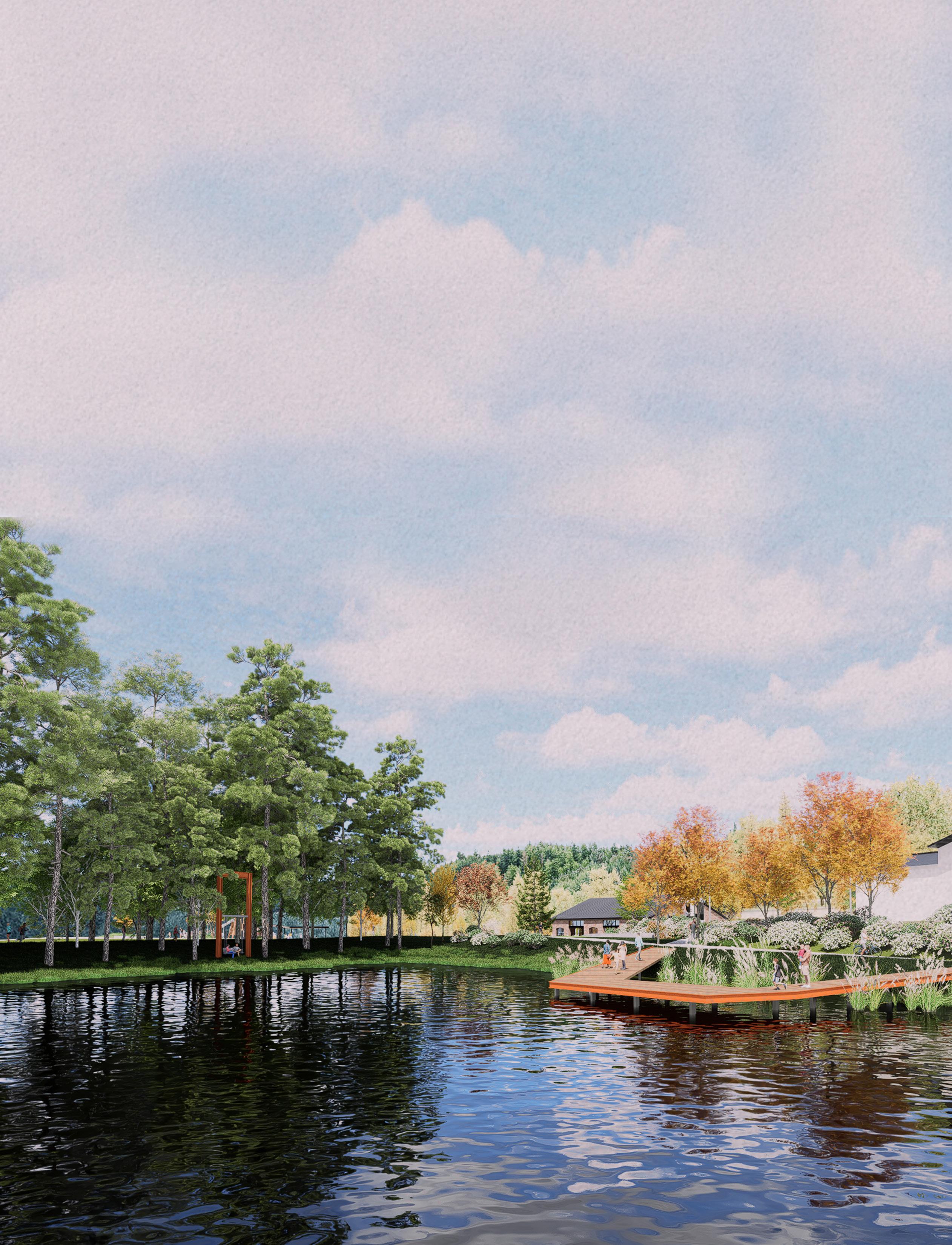
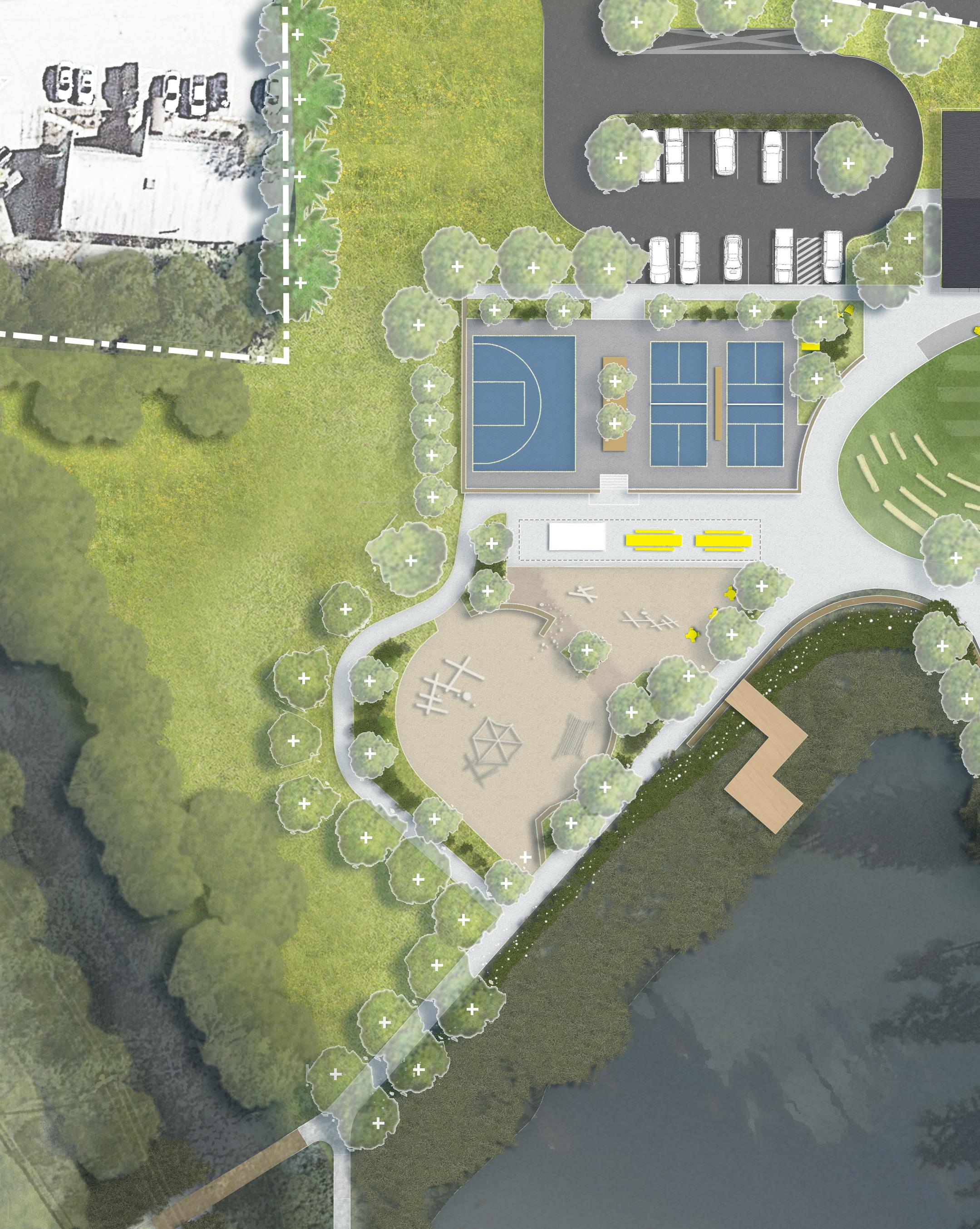
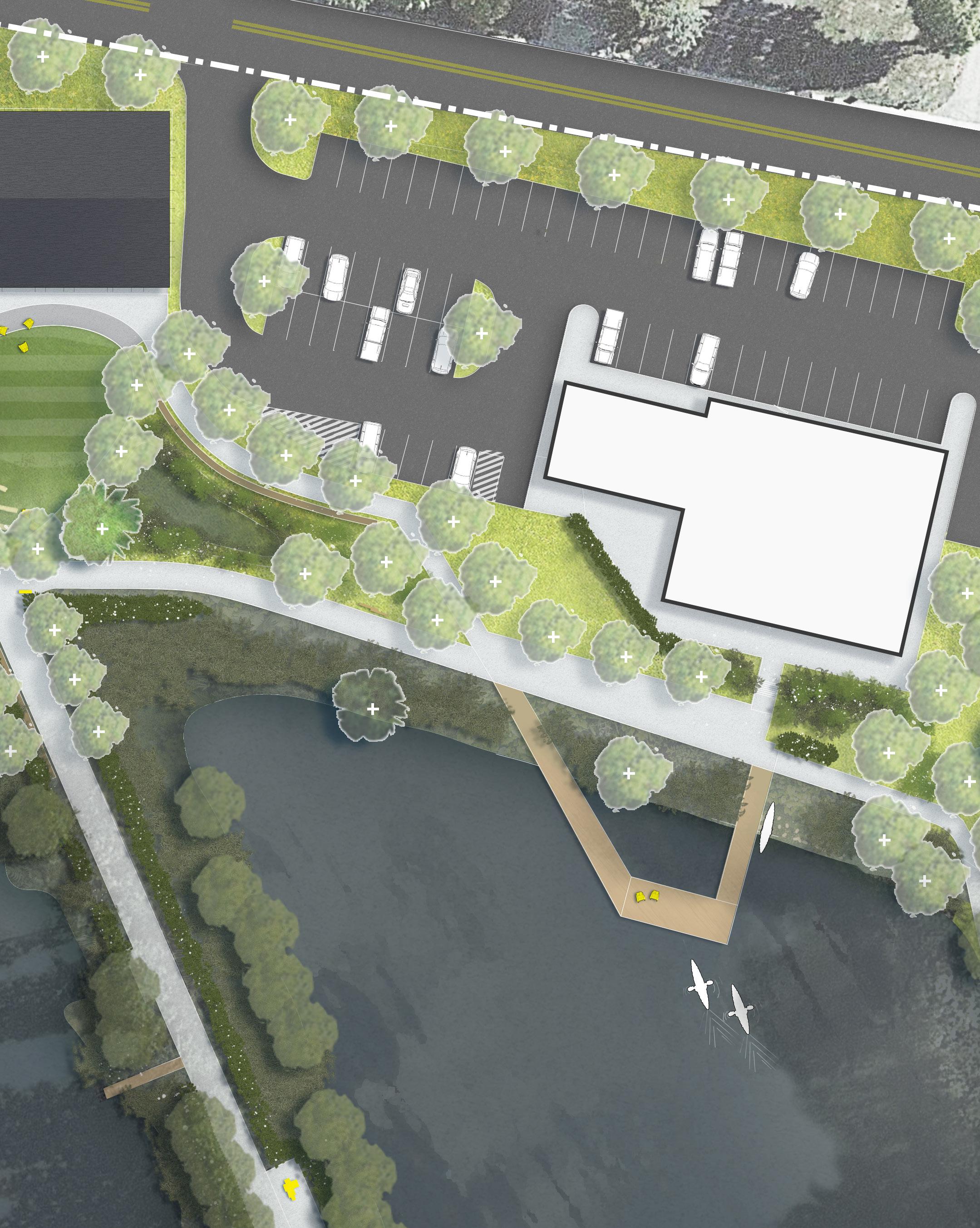
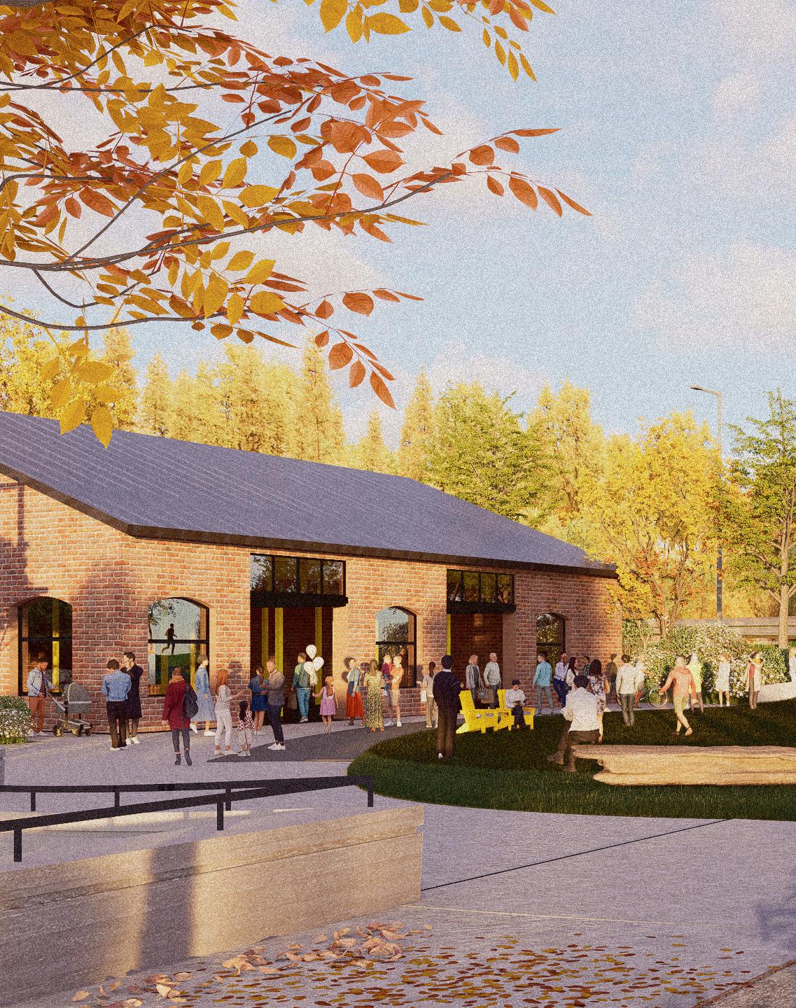
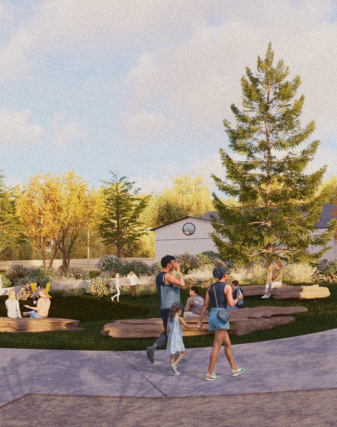
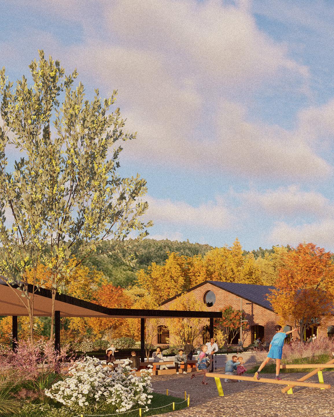
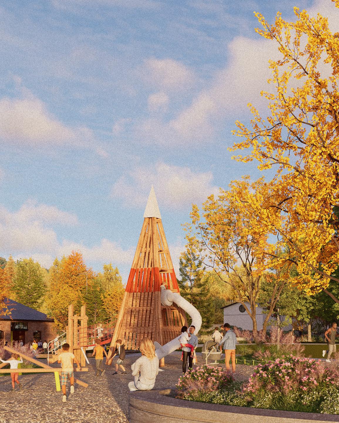
PORT, with the assistance of the Design Fellows Program at PennPraxis, is collaborating with North Franklin Township, PA and the Pennsylvania Department of Conservation and Natural Resources (DCNR) on the creation of a new 89-acre park on the site of a former water company reservoir lands south of Washington, PA. The project, at the epicenter of Pennsylvania’s fracking industry, attempts to elevate consideration of ecological assets and civic infrastructure in the public imagination of one of the most conservative counties in the state The new Waterside Park is envisioned as a civic center for gathering and nature-based recreation for the North Franklin Township community.
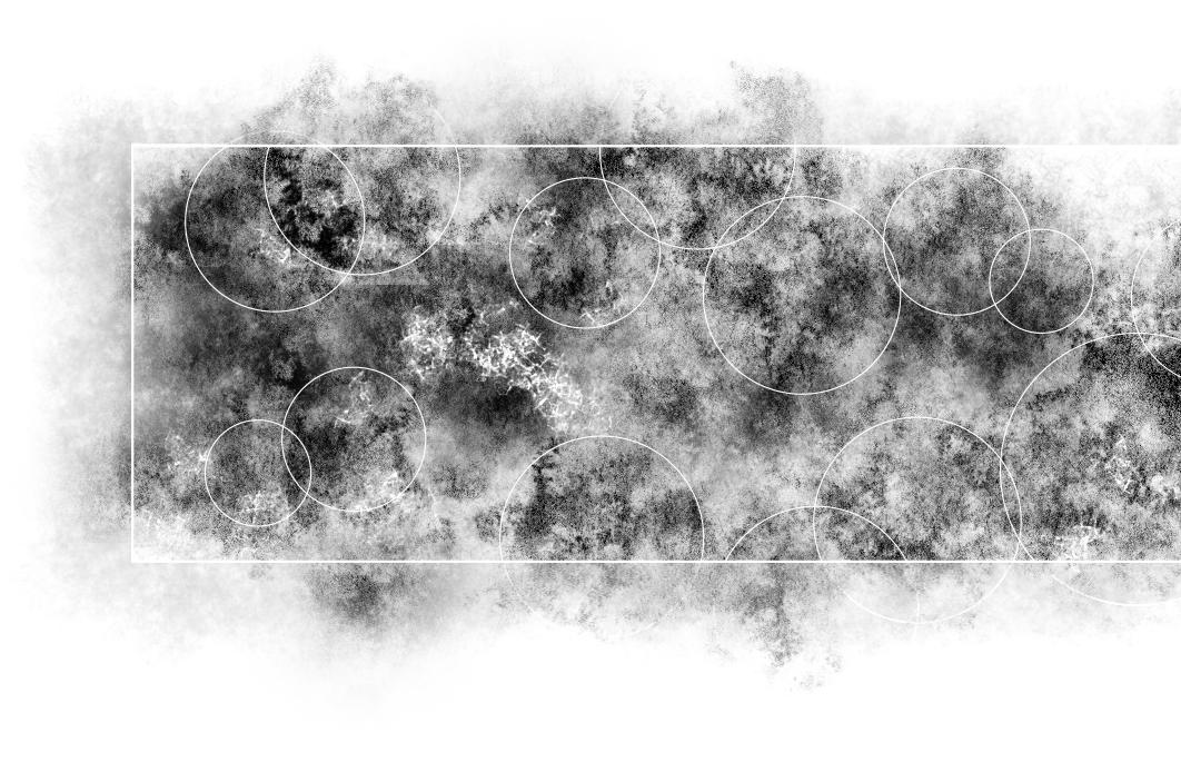
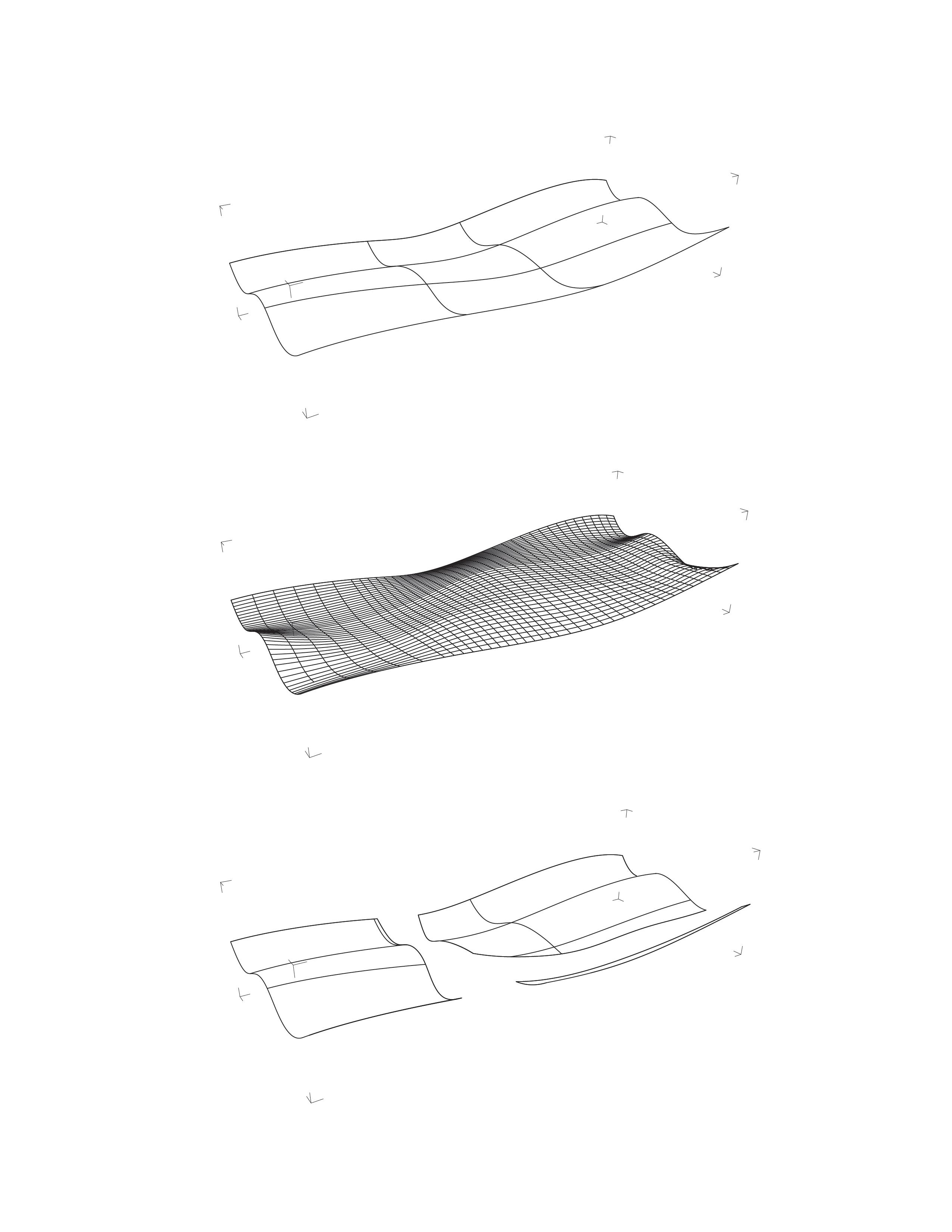
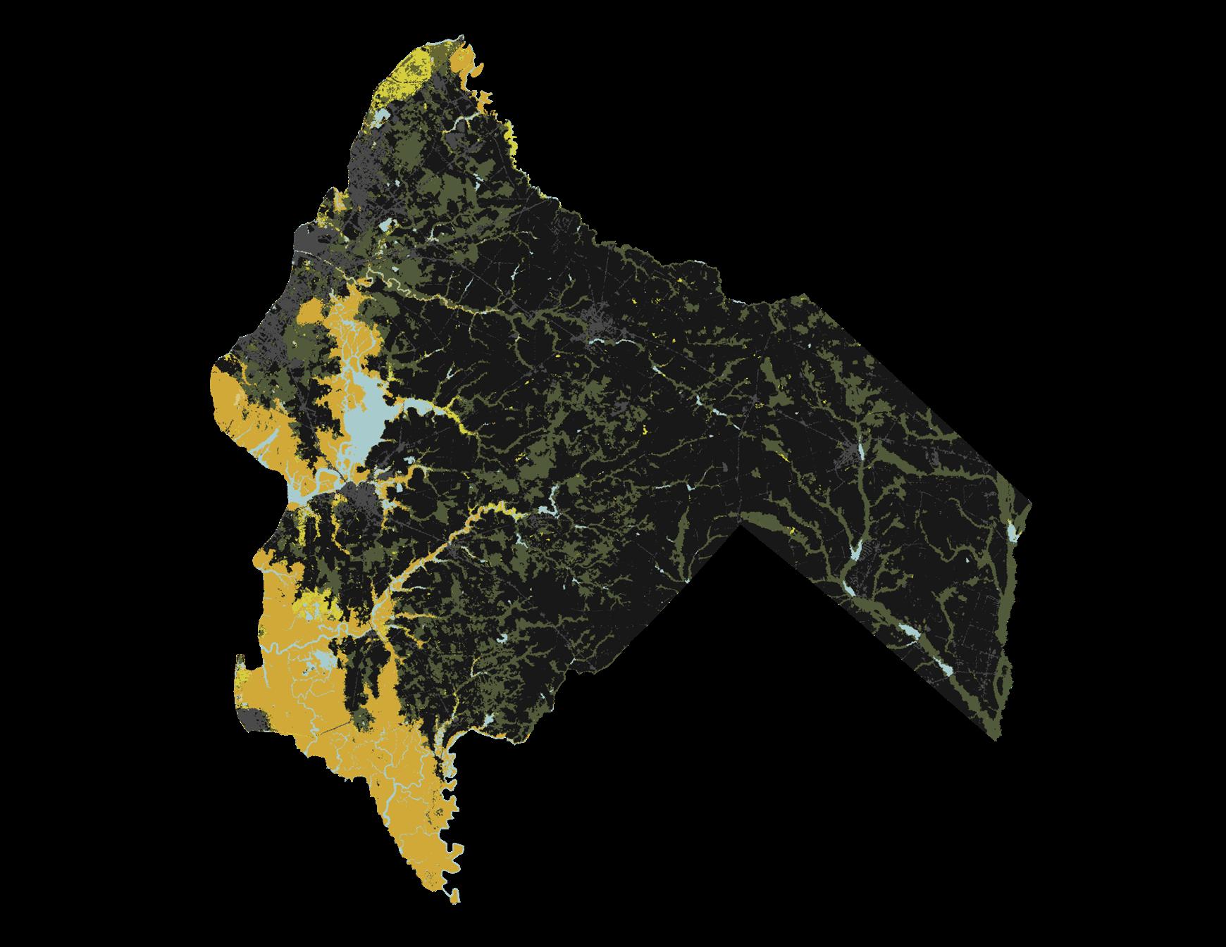
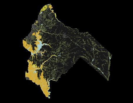
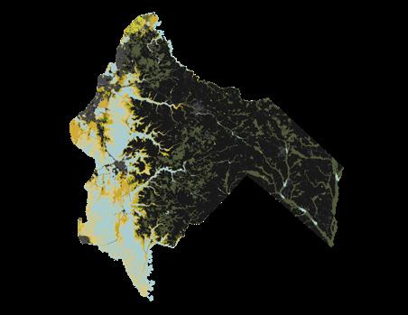
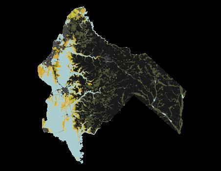
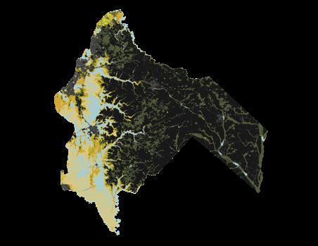
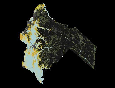
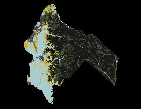
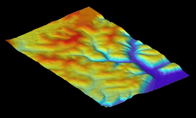
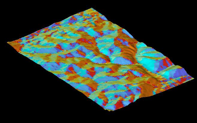
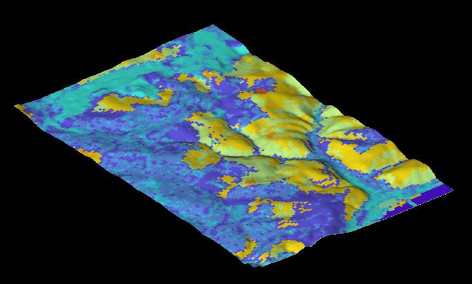
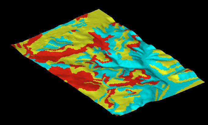
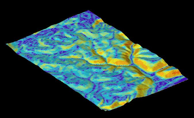
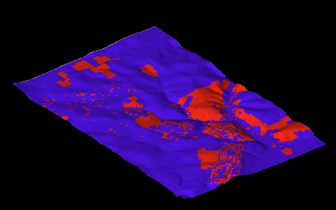
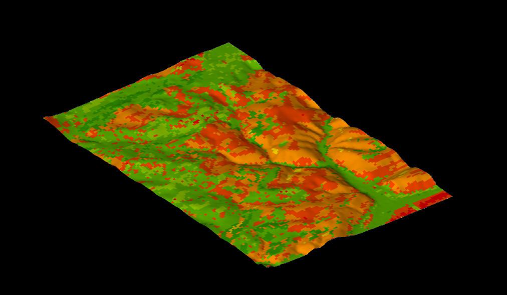
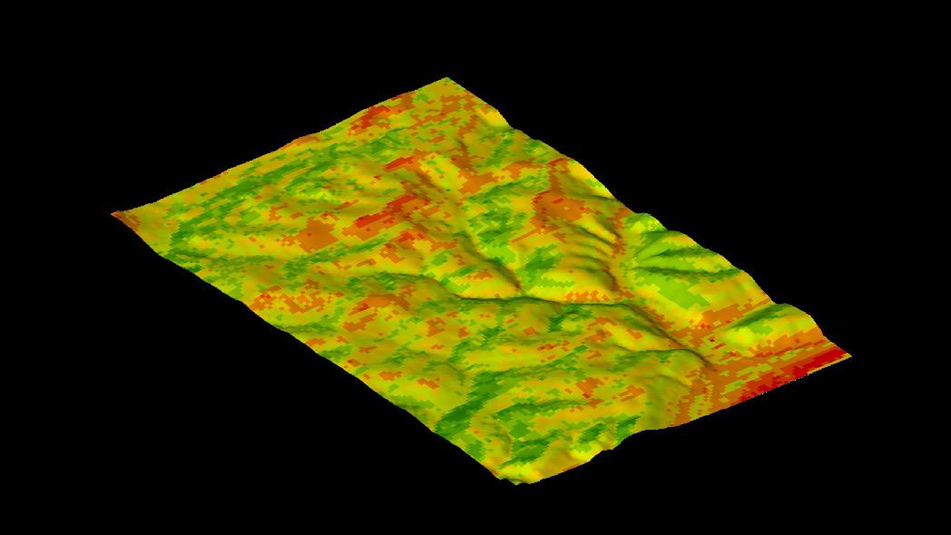
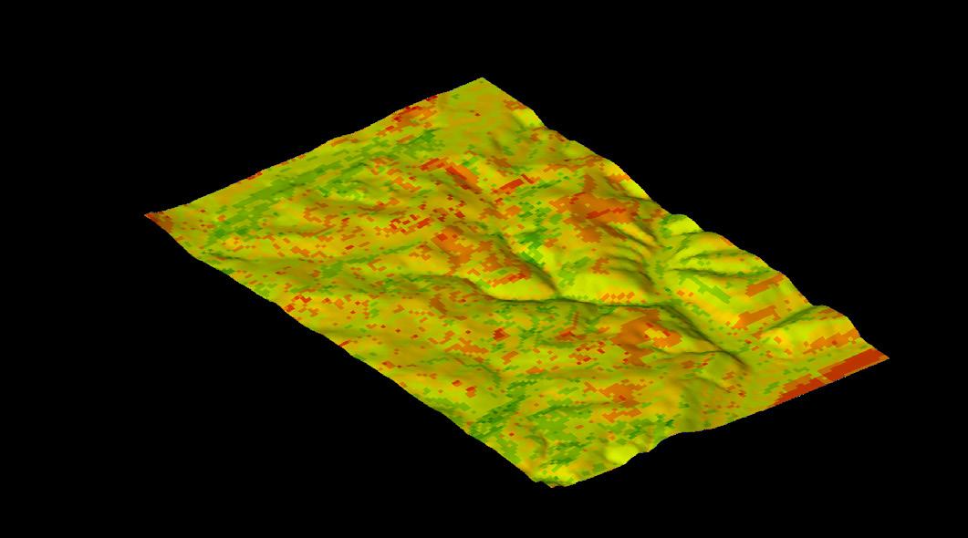
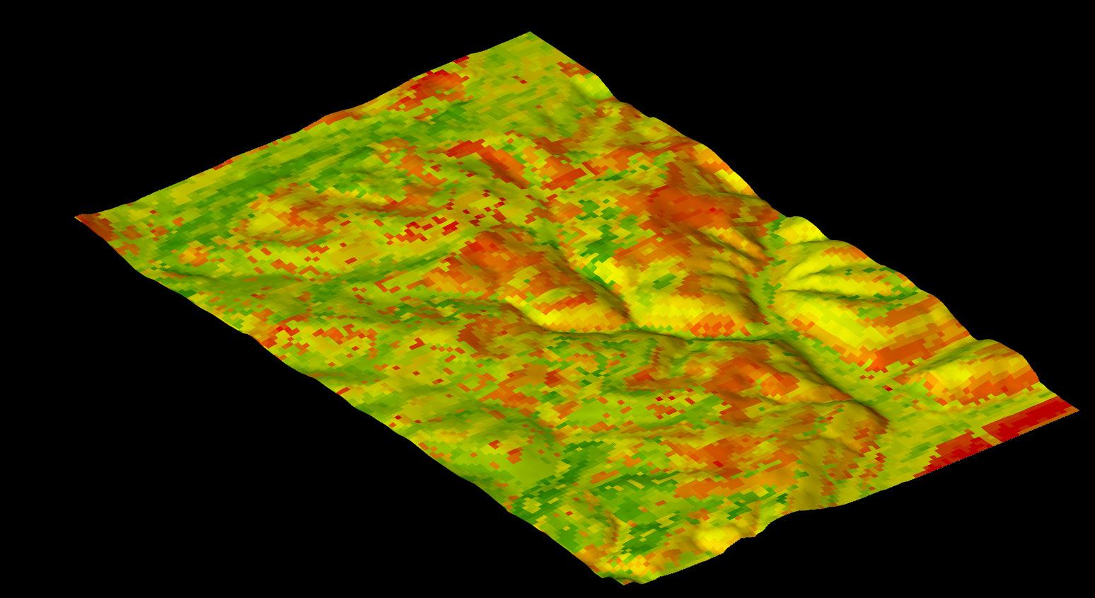
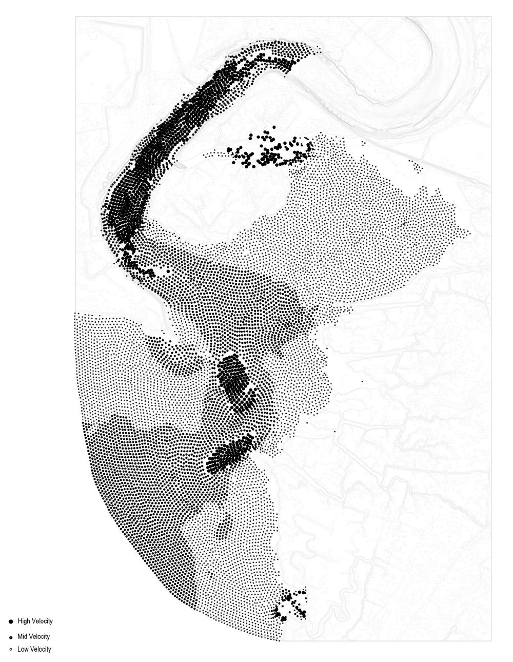
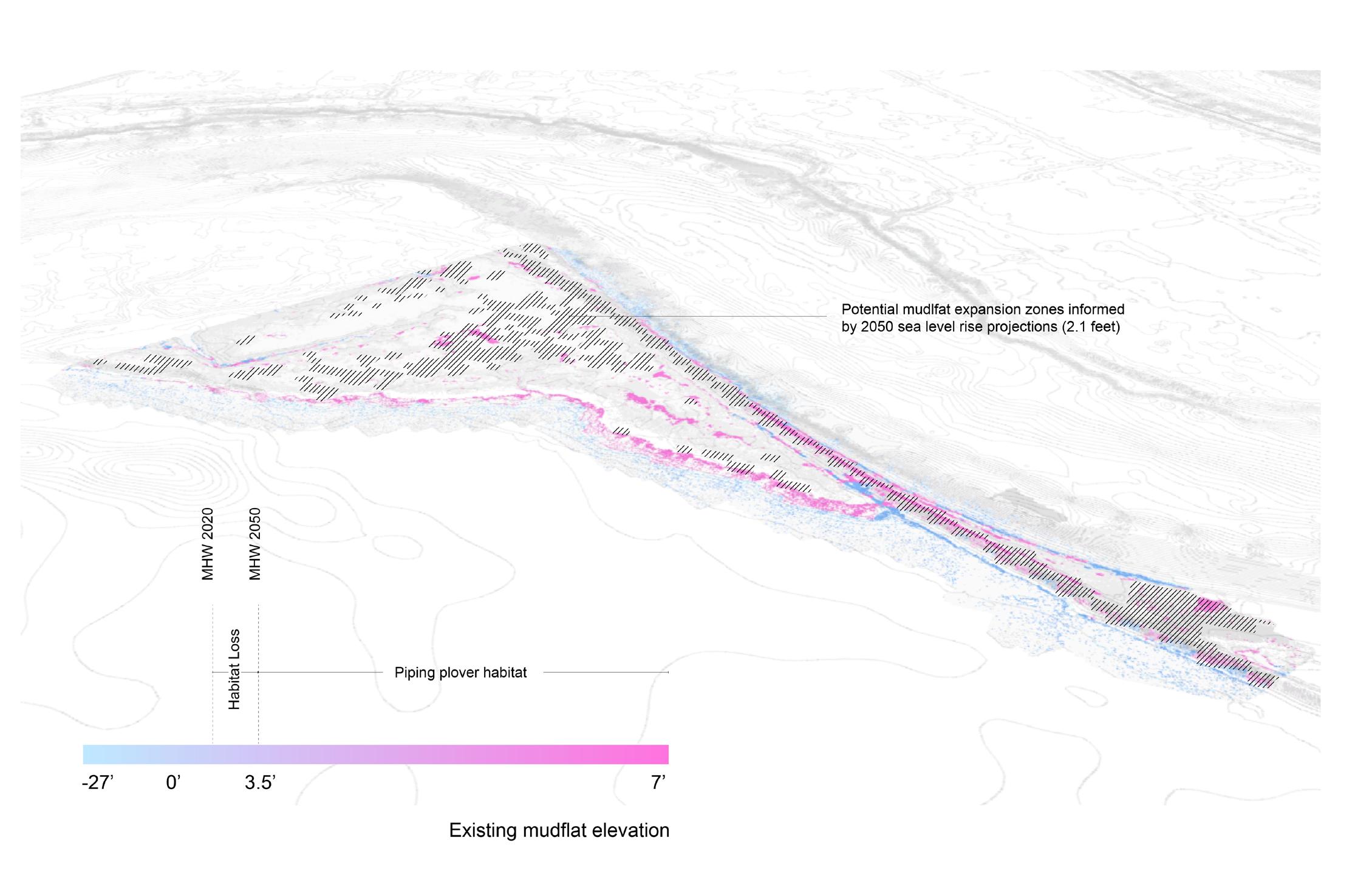
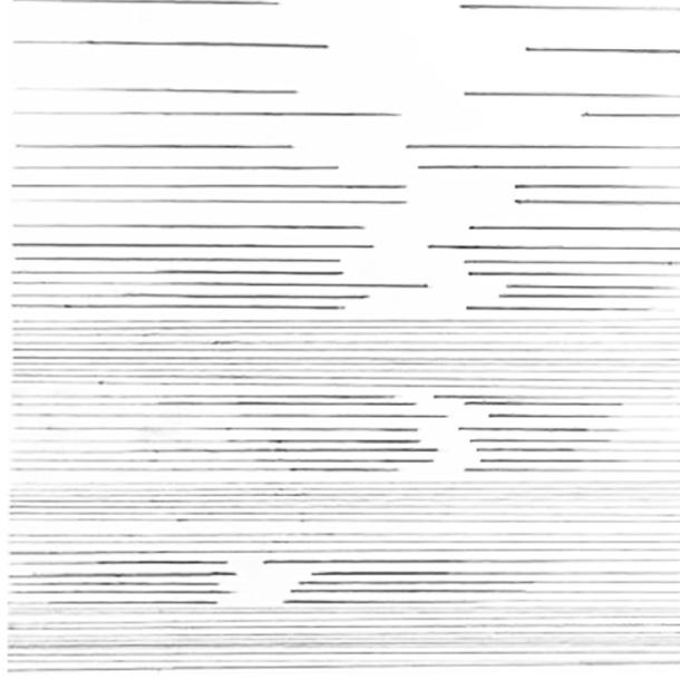
DIGITAL TECHNIQUES
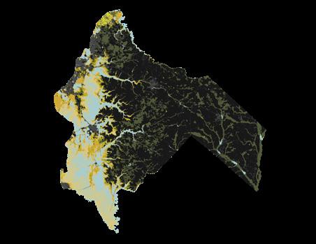
0’ Sea Level Rise (~2025)
Open Water
Saltwater + Transitional Marsh
Freshwater Forested + Shrub Wetlands
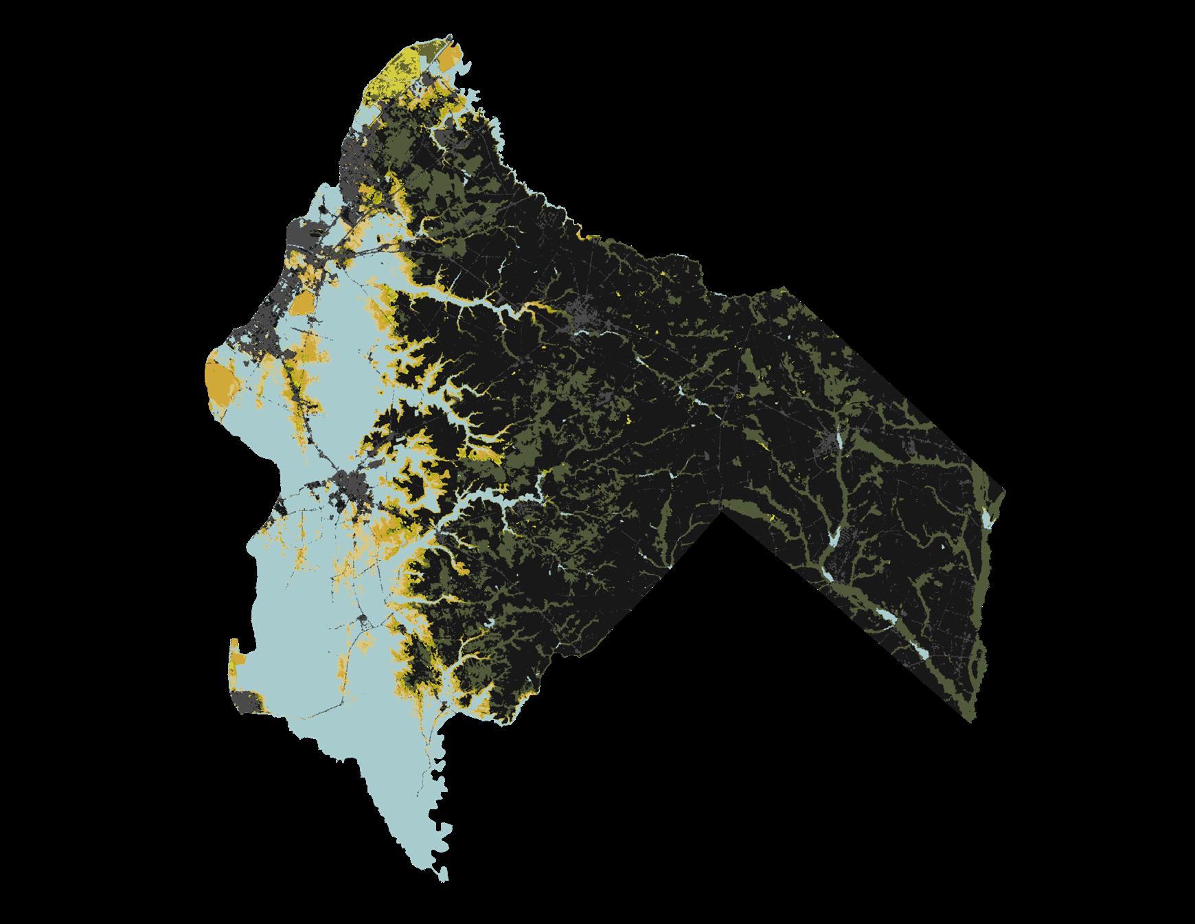
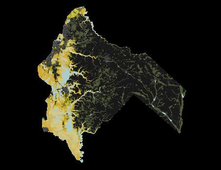
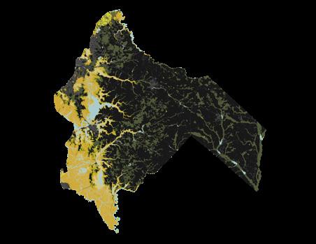
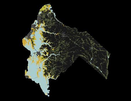
10’ Sea Level Rise (~2150, High Emissions Scenario)
Open Water
Saltwater + Transitional Marsh
Freshwater Forested + Shrub Wetlands
297 Acres of Total Marsh Loss
69,469 Tons of Carbon Sequestration Potential
30,846 Acres of Total Marsh Loss
39,846 Tons of Carbon Sequestration Potential
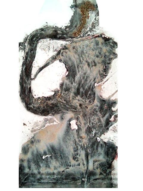
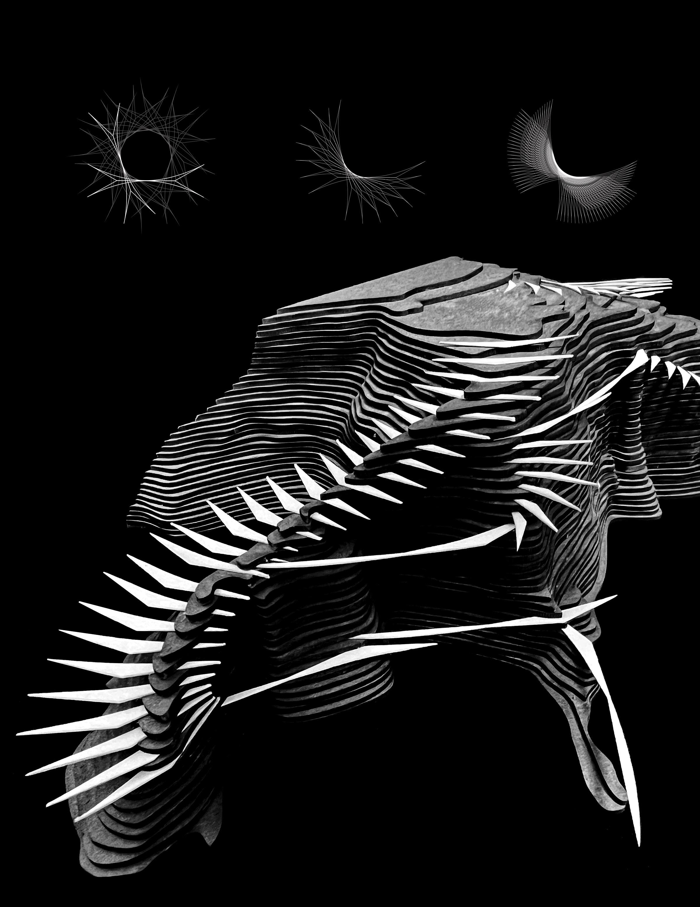
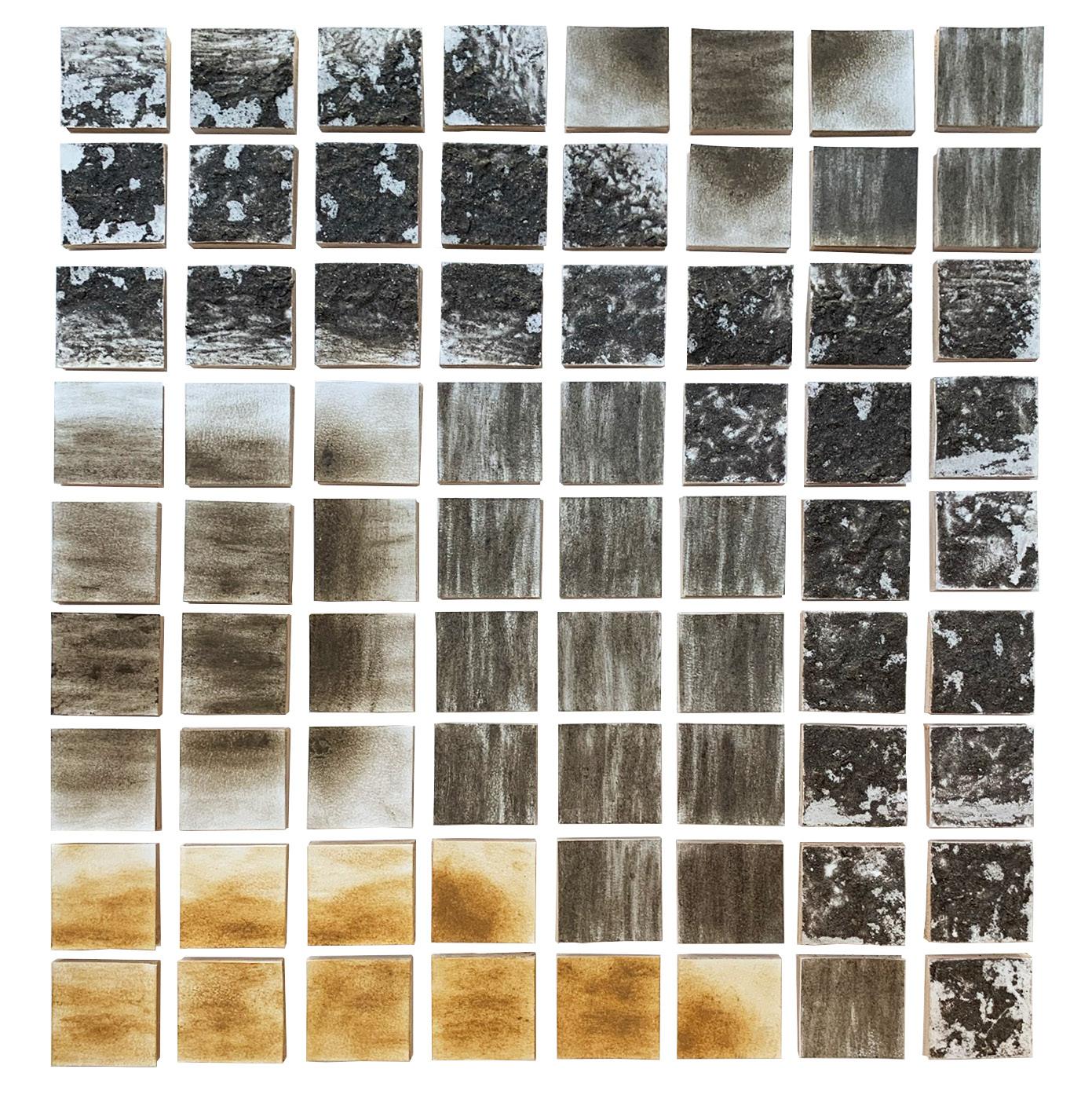
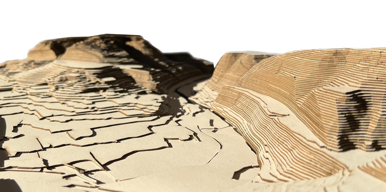
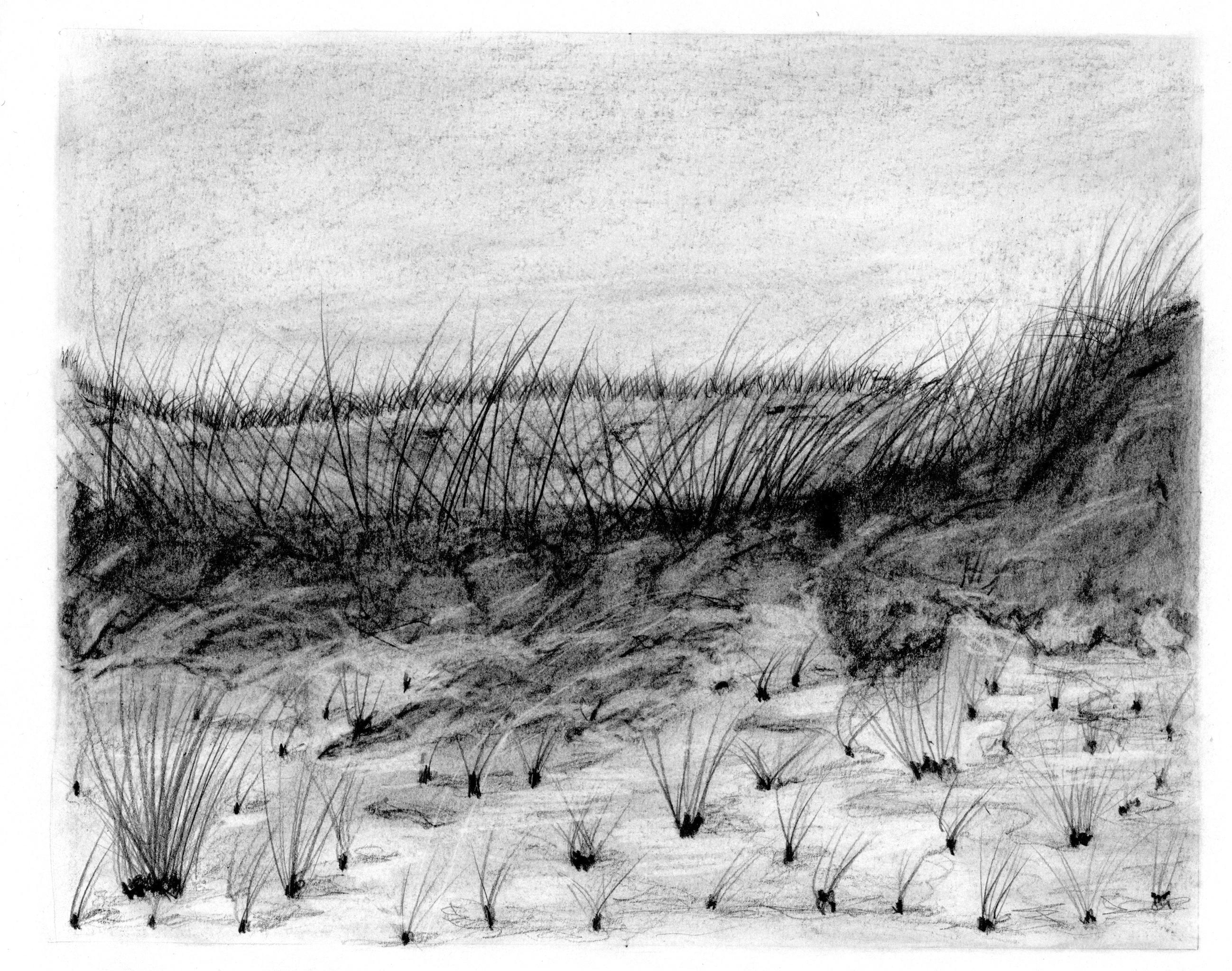
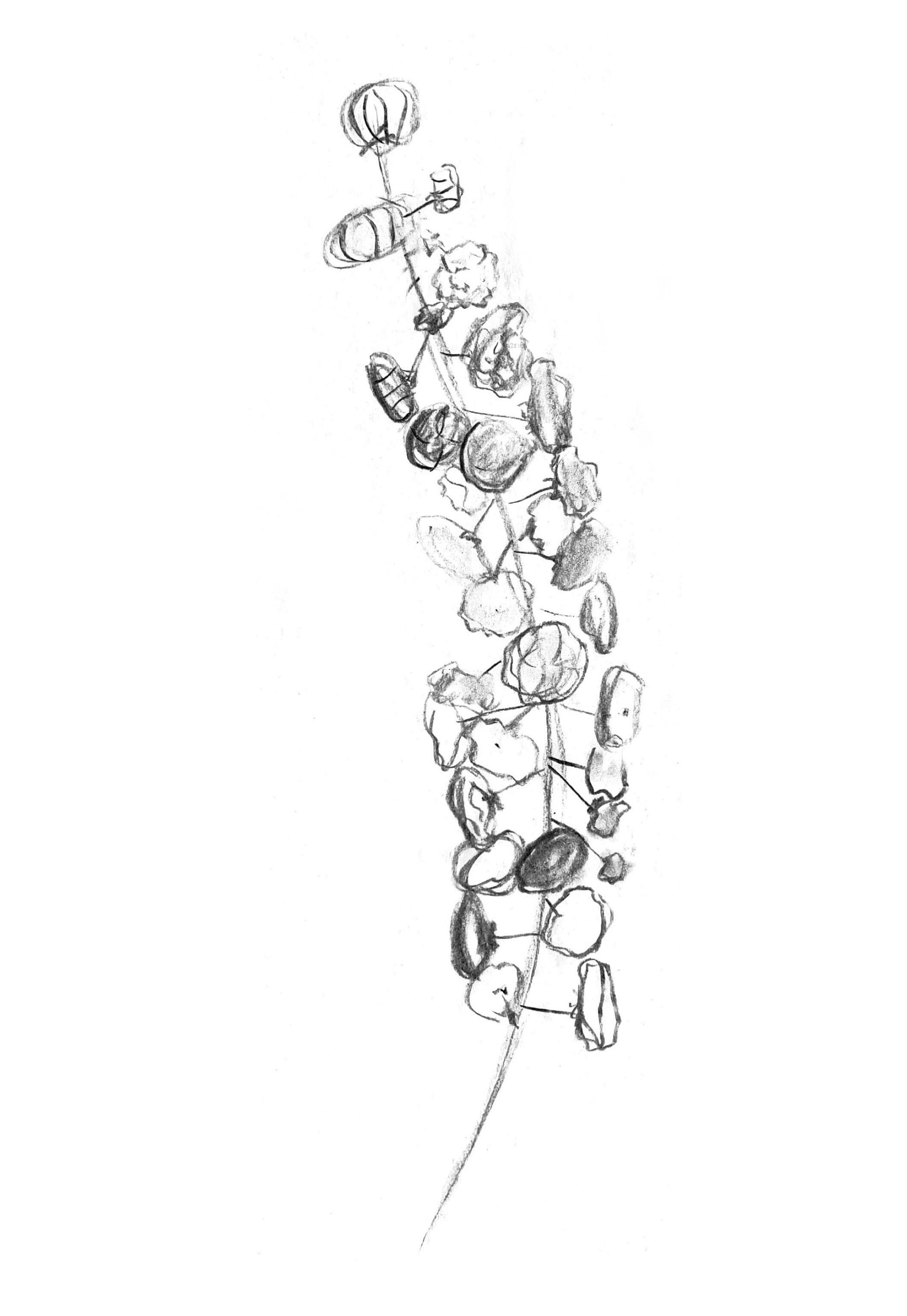
ANALOGUE TECHNIQUES
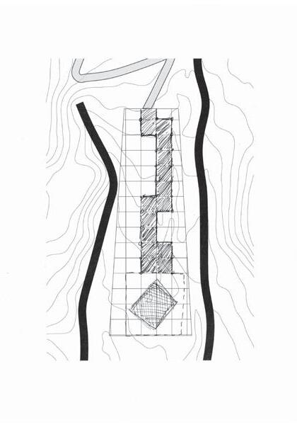
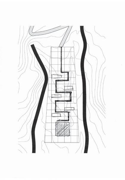
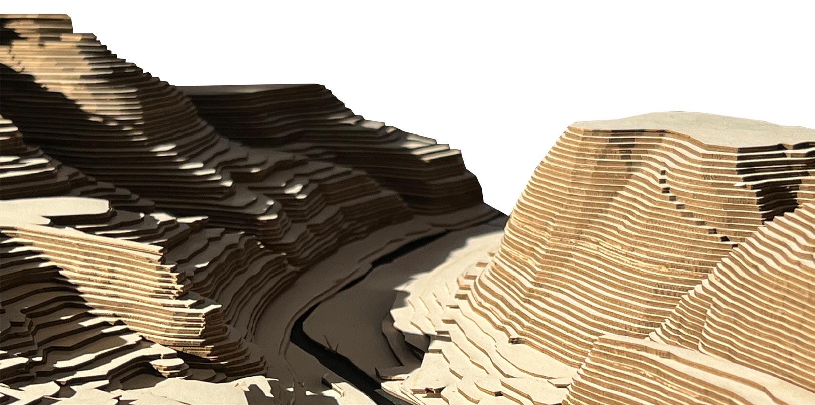
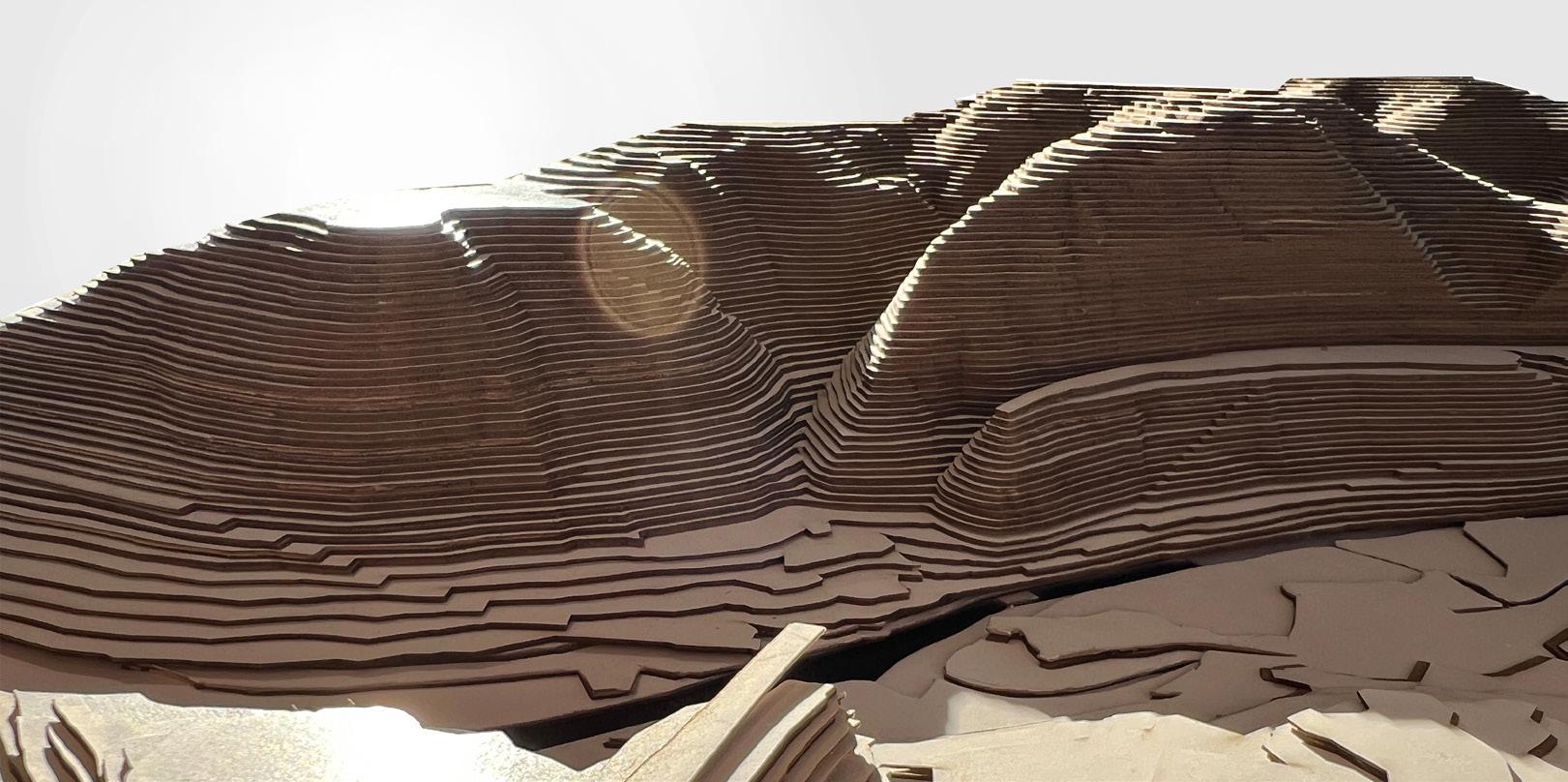
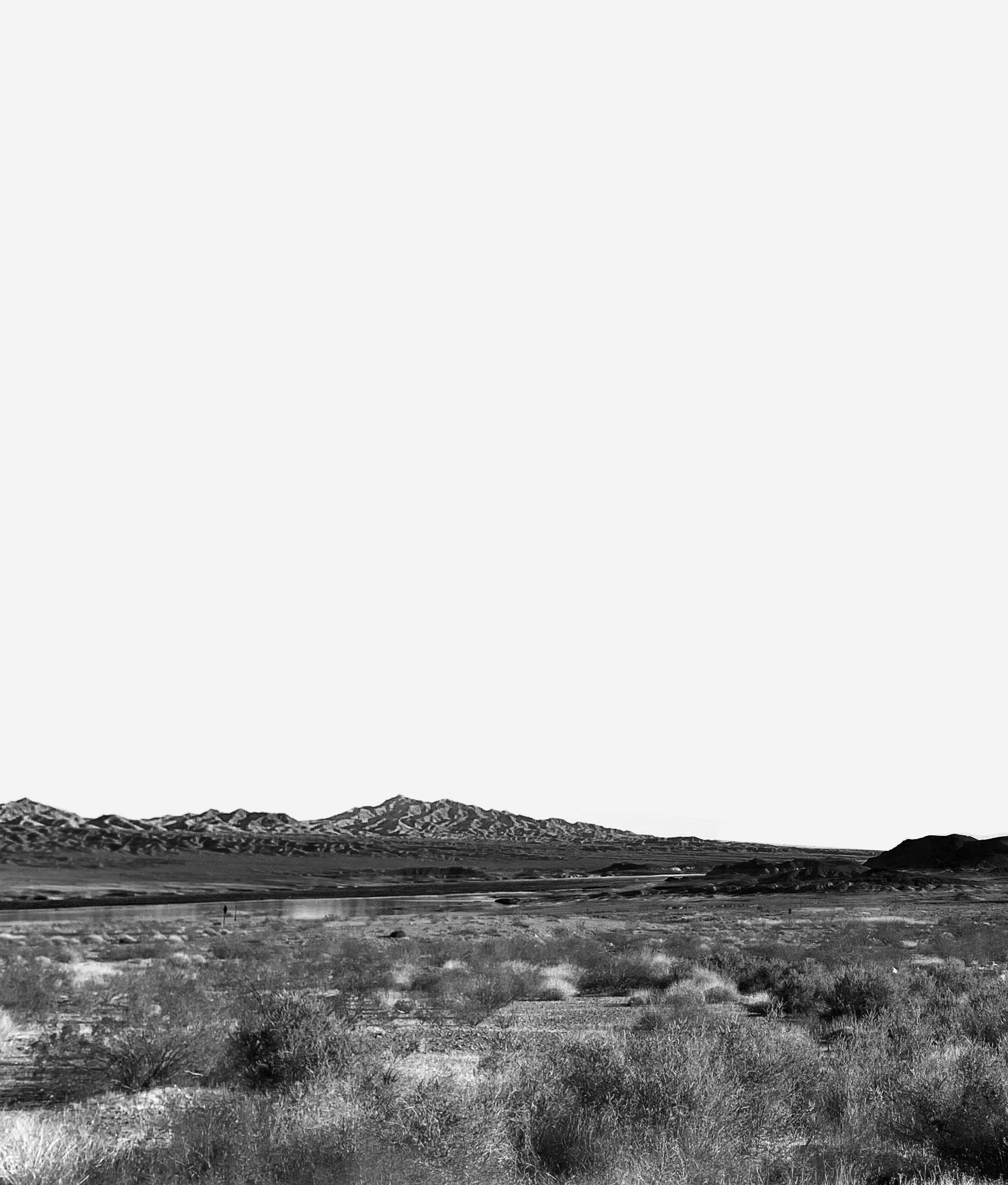
CONCEPTUAL CLIFFSCAPE | Exploring Elements of Agitation, Rotation, and Reflection