1 minute read
Apps


Advertisement
Many apps have been developed to support individuals and organizations during the crisis. One of the first was Crowdless, developed in just 3 days at the start of lockdown in the UK by a start-up called Lanterne with support from ESA BIC UK.
The free app uses satellite data and AI to identify where people are congregating. This allows people to avoid crowded areas, for example when shopping, helping them to observe social distancing.
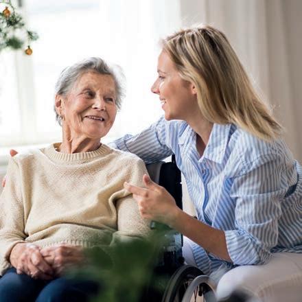
Also in the UK, the UK Space Agency is backing DriverNet, a mobile app that will use satellite technology to provide access to more affordable community transport for people wishing to go to and from COVID care providers, and those looking to participate in community sport.

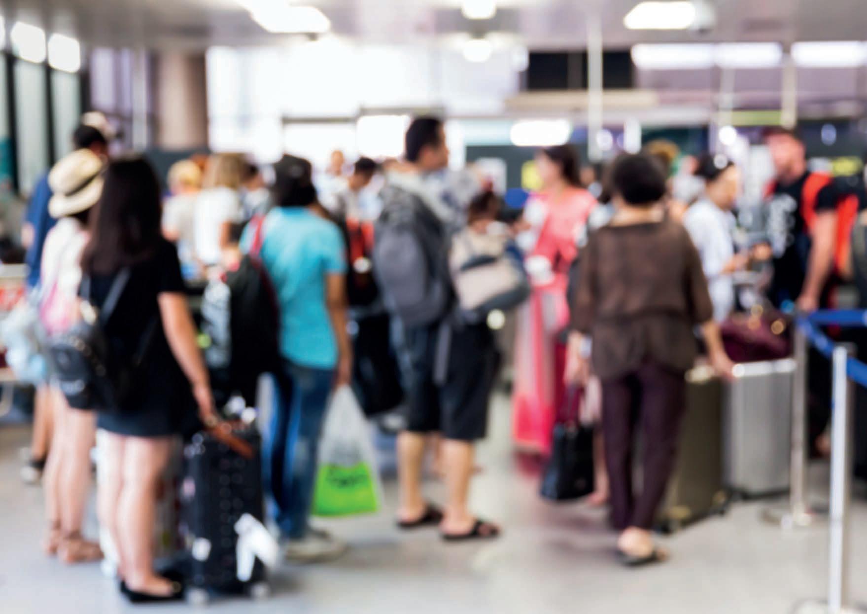
A number of apps rely on positioning data from Galileo to provide alerts if the user has been exposed to the virus. One example is CovTrack from Romanian company RISE, which is a spin-off from a project for festival management, supported through ESA’s Navigation Innovation and Support Programme.
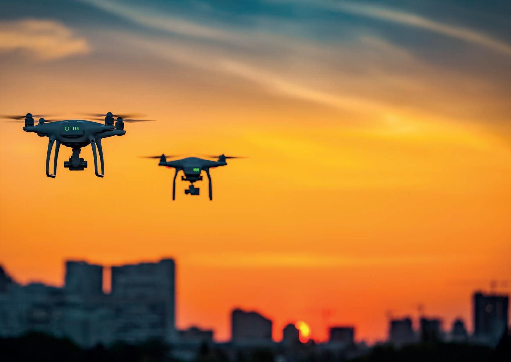
While many apps are for personal use, some have been designed for businesses and organizations, such as the Galileo Green Lane app (see page 9). Other examples support applications as varied as disinfection operations using drones and home delivery of food, goods or medicines.
The European Union Agency for the Space Programme (EUSPA; previously called the European Global Navigation Satellite Systems Agency [GSA]) has a section on its website dedicated to GNSS Apps for COVID-19 response, split into areas such as monitoring, response management, queue management (for individuals and vehicles) and dissemination of information, such as health self-assessment. At the time of writing, the website listed nearly 60 apps, including some designed to help vulnerable people overcome challenges during the pandemic.


