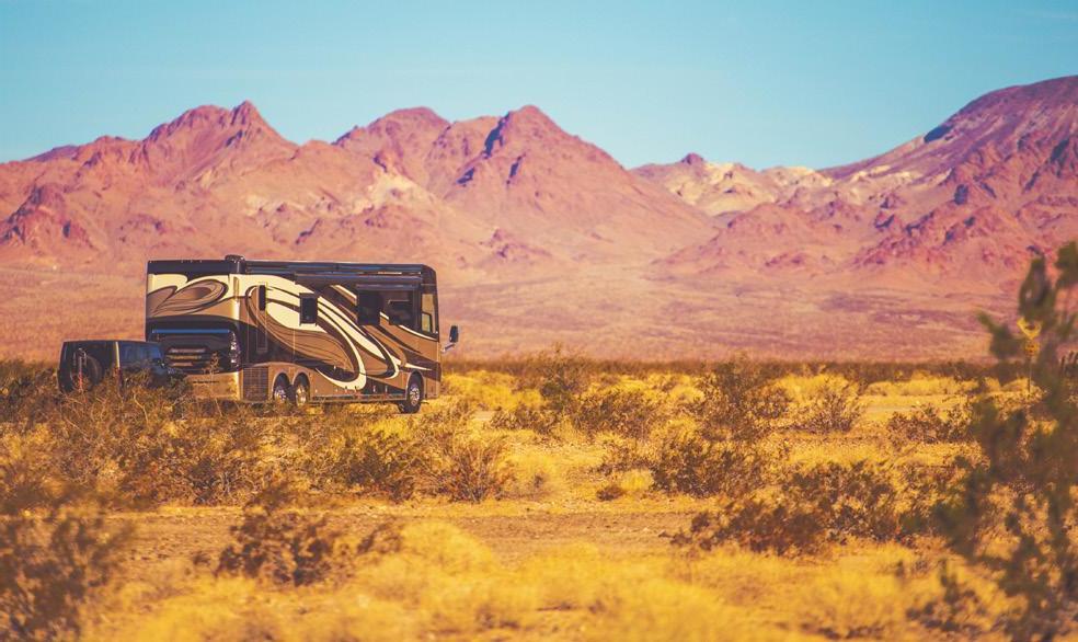
THE ARIZONA TRAIL Stretching 800+ miles from Mexico to the Utah border, the Arizona National Scenic Trail runs approximately 100 miles through Pinal County, from Oracle to the Florence-Kelvin Highway. About half is maintained by Pinal County with the remainder managed by the Forest Service and Bureau of Land Management. Pinal County offers three trailhead facilities, located at Tiger Mine Road, Freeman Road and the Florence-Kelvin Highway – milepost 29, all with overnight camping allowed.
CAP TRAIL SYSTEM In addition to a reliable supply of Colorado River water, the Central Arizona Project (CAP) canal system affords another potential benefit to the state of Arizona - a long distance, non-motorized, multi-use recreational trail corridor. In Pinal County, the CAP Trail will be almost 100 miles in length and will connect the communities of Red Rock, Eloy, Coolidge, Florence and Apache Junction. The Nona Road Trailhead located off Park Link Rd offers an opportunity for all non-motorized trail users to experience southern Pinal County. Great views of the Picacho Mountains, including Newman Peak, Picacho Peak and the Tortolita Mountains plus a variety of wildlife watching opportunities are present. Pinal County has maps and other trail information available online at: www.parks-trails.pinal.gov
17
HOME Home is a place for new beginnings. Where milestones are reached and a lifetime of memories are made. Coldwell Banker® is guiding you home.
1919. N. Trekell Rd. Casa Grande, AZ 85122 520.423.8250 | roxsells.com (C)2020 Coldwell Banker Real Estate LLC. All Rights Reserved. Coldwell Banker and the Coldwell Banker Logo are registered service marks owned by Coldwell Banker Real Estate LLC. Coldwell Banker Real Estate LLC fully supports the principles of the Fair Housing Act and the Equal Opportunity Act. Each office is independently owned and operated.
2020–2021 Pinal County Visitors Guide
18


