quicksilverphoto@gmail.com
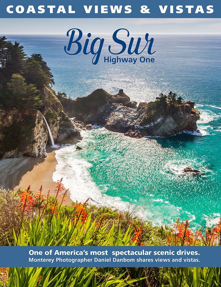
In this edition of Coastal Views & Vistas - “Big Sur Highway One” editor and photographer Daniel Danbom shares some of his favorite views of the Big Sur Coast. Enjoy this journey along one of the world’s most scenic drives,
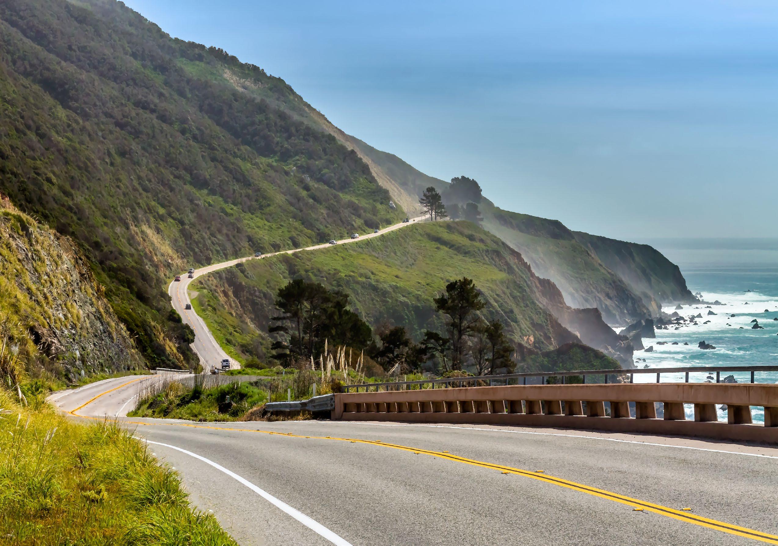
with spectacular and unique views where the Santa Lucia mountains meet the Pacific Ocean. A remarkable meeting of land and sea and a tourist destination for international and domestic travelers alike.
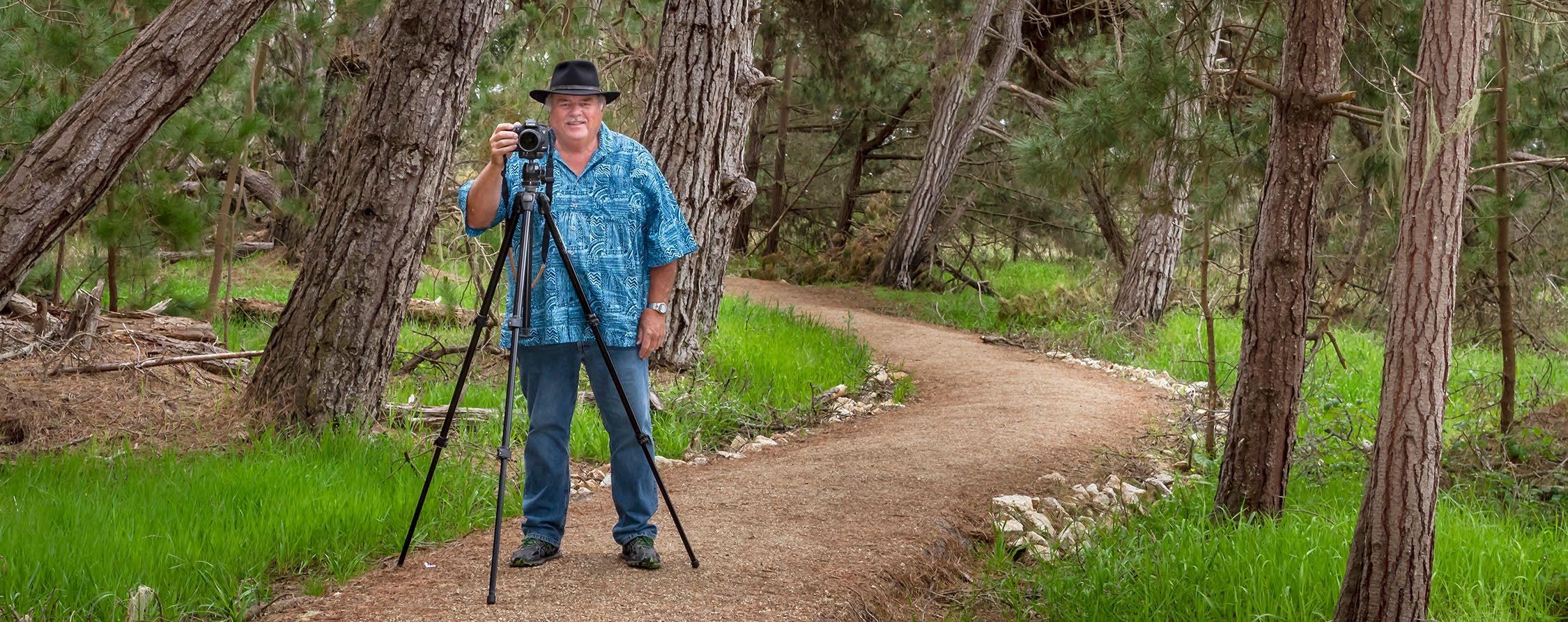
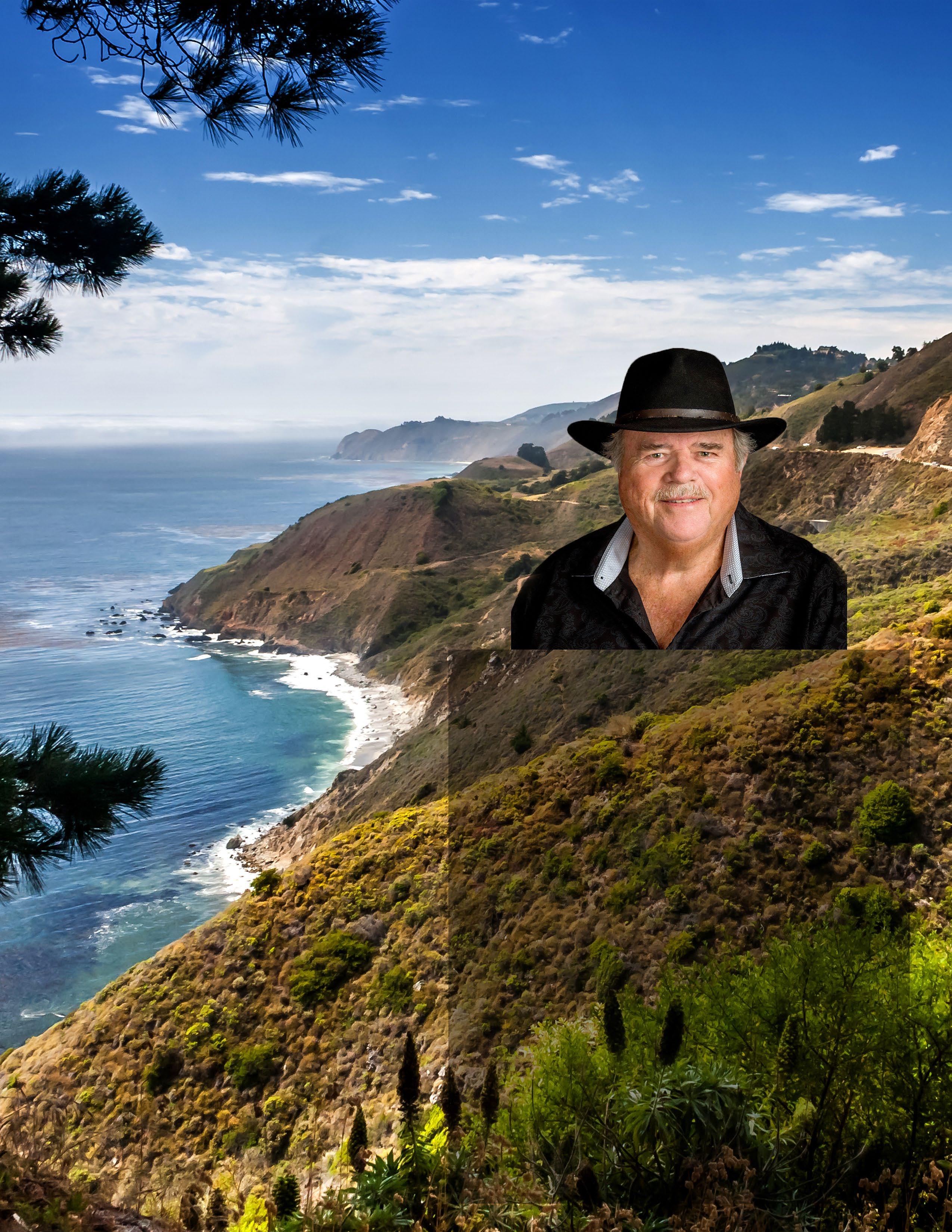
 Photographer Daniel Danbom taking photos at Point Lobos.
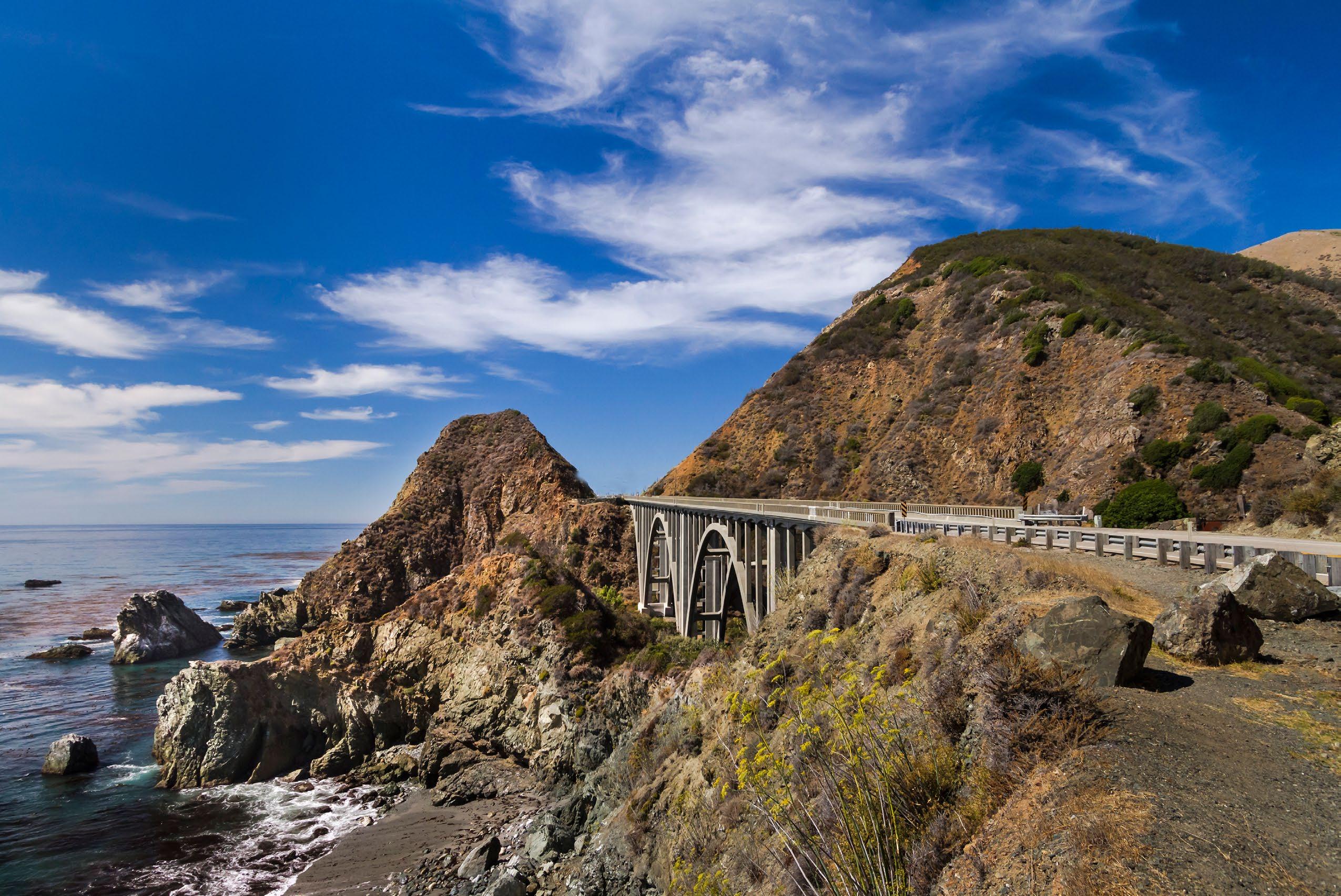

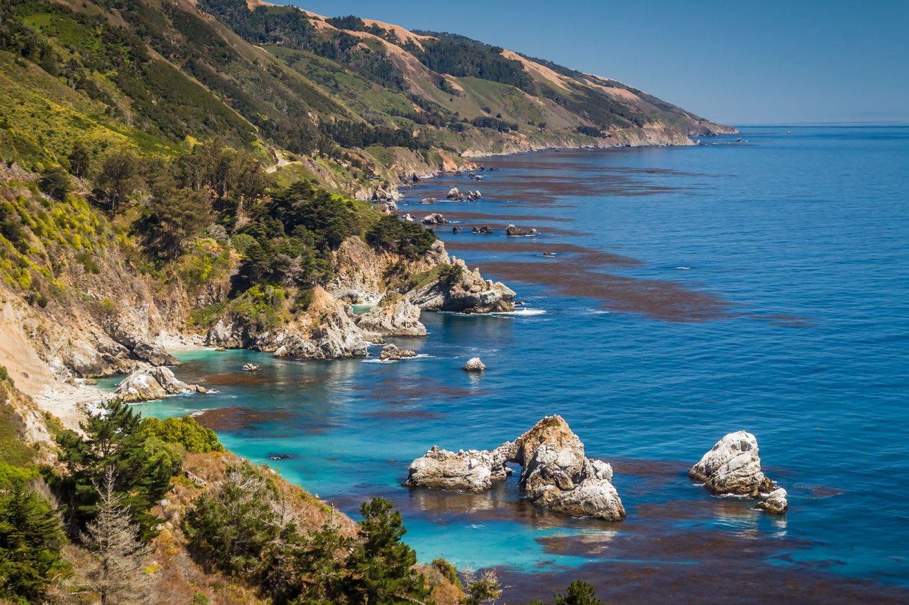
Big Creek Bridge on the south coast. Coastal Views & Vistas | Big Sur Come along for a memorable drive along Highway One The View from the Whale scenic turnout. Published by Daniel Danbom Quicksilver Fast Photo P.O. Box 31, Pacific Grove, CA 93950 danieldanbom.com quicksilverphoto@gmail.com
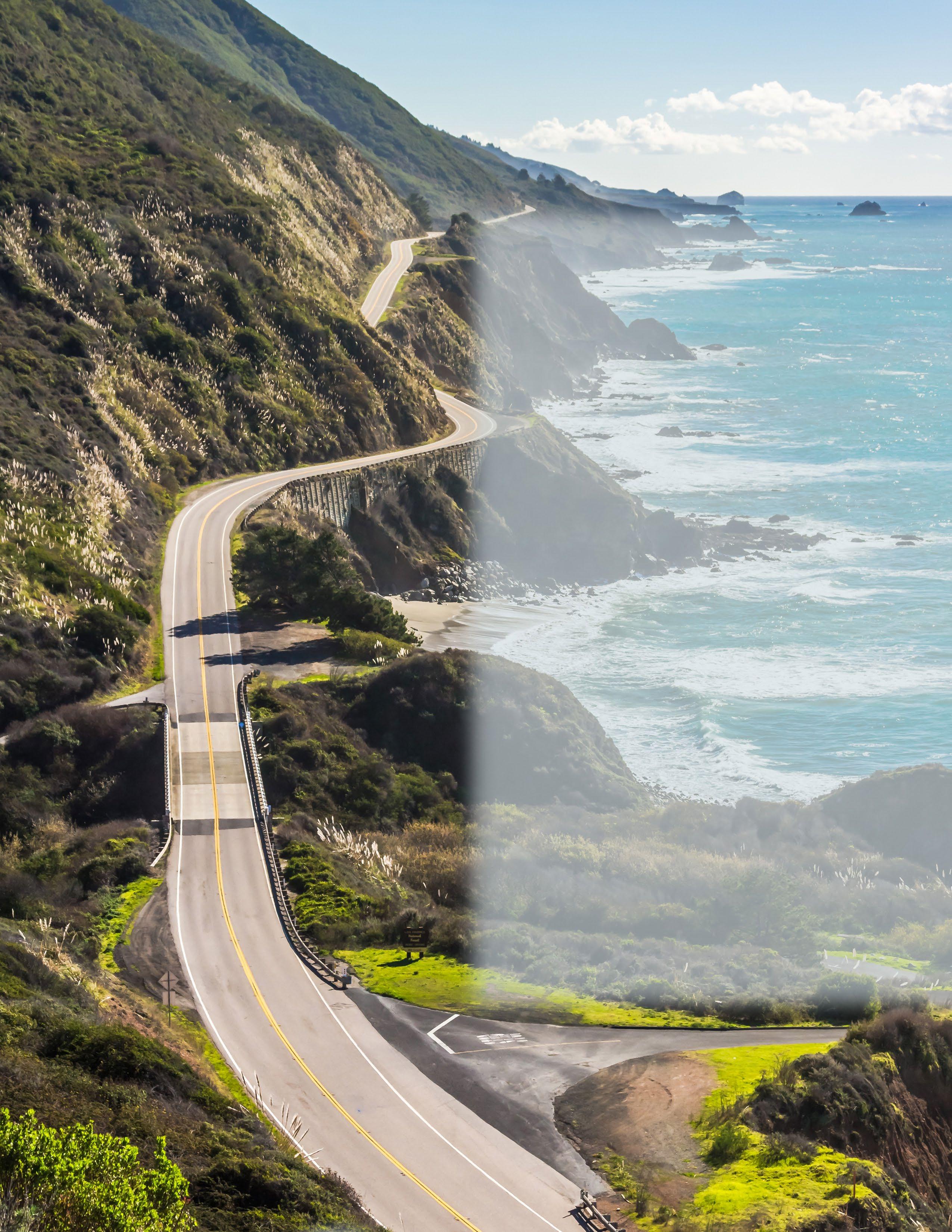
16 Pfeiffer Beach 28 Tips for Travel 29 Poison Oak 30 Cell Signal 30 Surf Advisory 31 Traffic Advisory 34 Coastal Fog/Clouds 36 Bixby Bridge 38 McWay Falls 44 Wildlife 46 California Condors 7 Introduction to the Big Sur Coast What’s Inside...
South Coast near Kirk Creek

quicksilverphoto@gmail.com DanielDanbom.com
The Central California Coast is one of the premier tourist destinations for both domestic and international travelers. Many come to enjoy the beautiful views and vistas of the Monterey Peninsula, but also the Big Sur Coast.
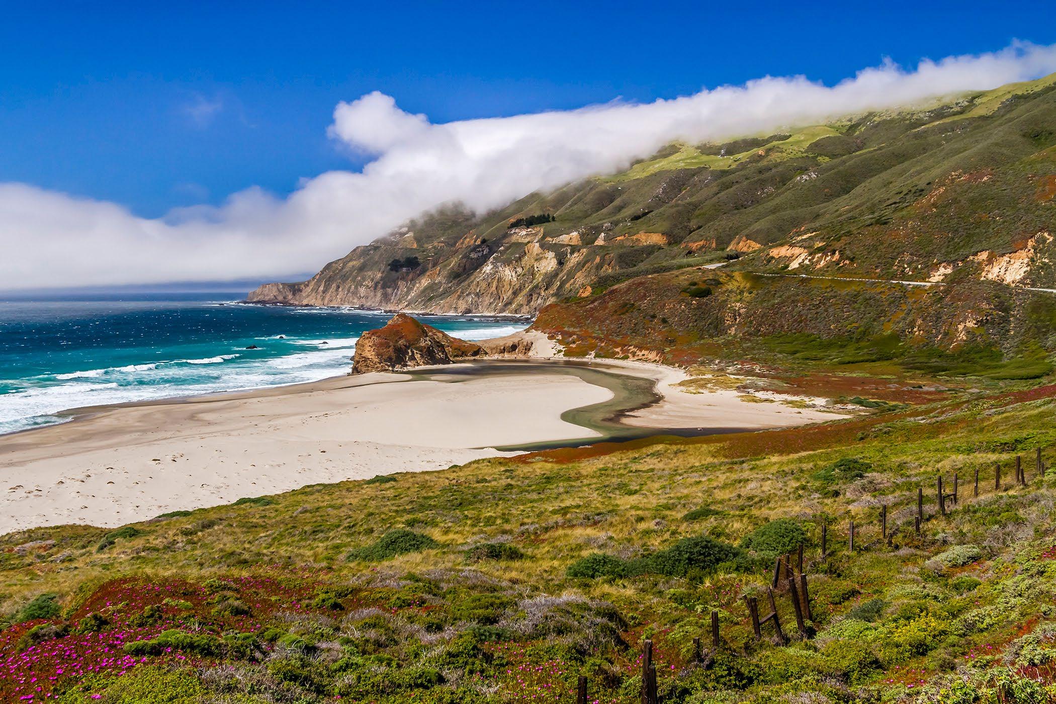
The Big Sur coast is an ever changing tableau of sky, ocean and magnificent cliffs that is always beautiful. The weather is often changeable, with fog rolling in from the open waters of the Pacific Ocean, during summer months. So, a day may go from bright, clear skies, to foggy fingers caressing the coastal mountains of the Santa Lucia Range. In a matter of minutes the fog can recede out over the ocean, leaving a white blanket over the western sky.
In winter, strong storms can dump inches of rain on the coastal mountains, and leave Highway One with scars, mudslides, rocks and debris, flowing water, and even major land slips/slides that can close the highway. It is spectacular, but also can be challenging for locals and tourists, with rocks and slips of dirt and debris, in the roadway. So, one must always drive with caution and watching the road, even with the tempting distraction of amazing vistas and views.
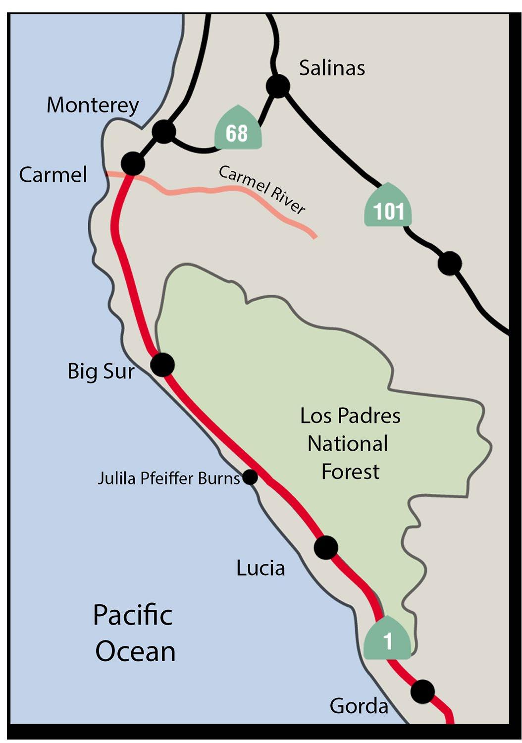
Many tourists often ask: “Just where is Big Sur?” as they stop along Highway One, a ways south past the Big Sur Post Office, and Nepenthe. “Did I miss it? Unofficially, the Big Sur coast starts as one goes south from Carmel-by-the-Sea, the Highlands and Yankee Point, or maybe Malpaso Creek. It is sort of nebulous, maybe around Soberanes Point, or Garrapata Beach.
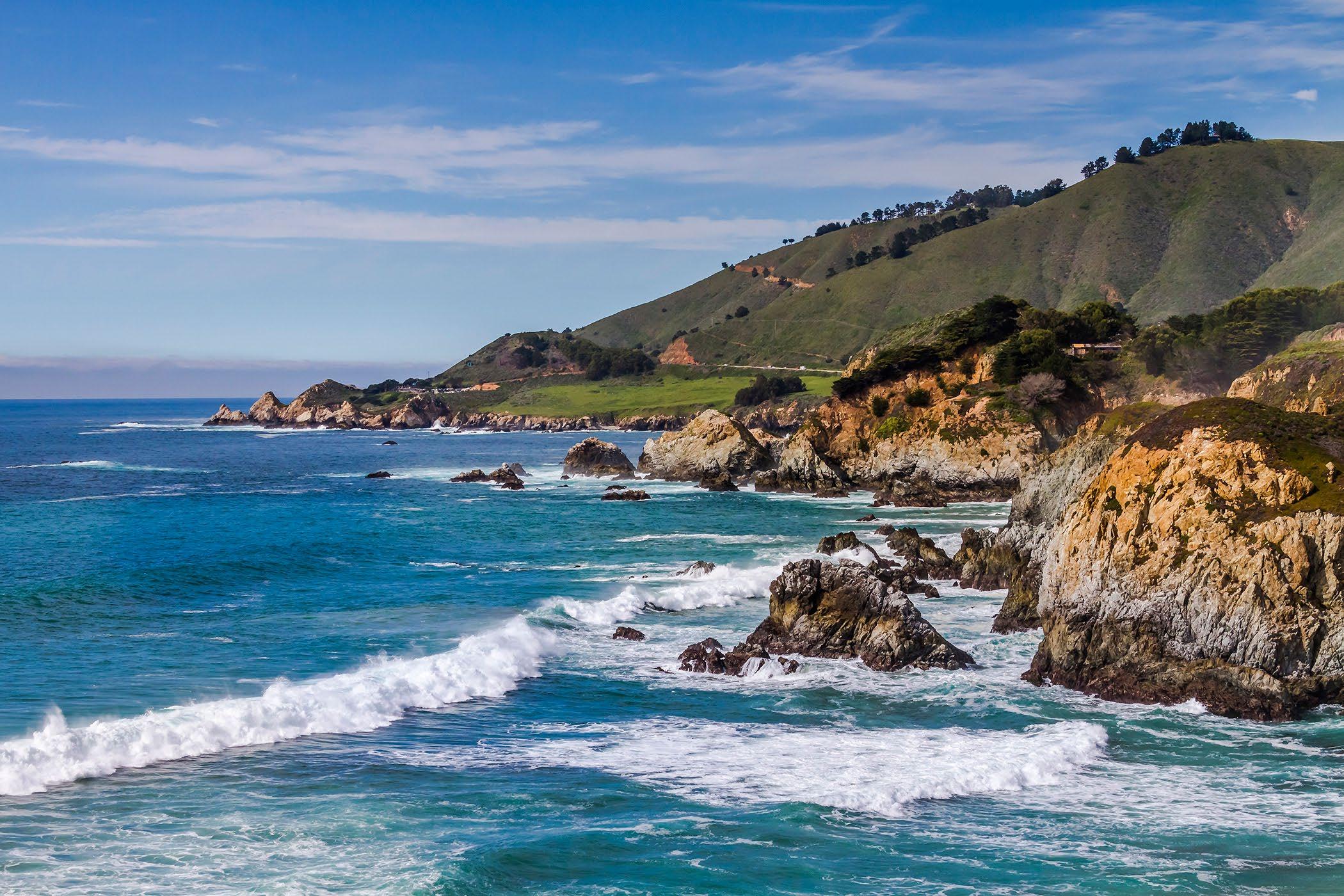
There are several notable scenic vistas on the north coast of the Big Sur Coast. Soberanes Point, Garrapata Beach, Rocky Point, Rocky Creek Bridge, BIxby Bridge, Hurricane Point, Little Sur River, the Big Sur Point, the big rock with the lighthouse, and then at the mouth of the Big Sur valley, Andrew Molera State Park.
The Big Sur Valley with the Pfeiffer Big Sur State Park is probably the core of the main settlement of Big Sur. Much of the area between Andrew Molera State Park, and Julia Pfeiffer Burns State Park to the south, is considered the main section of “Big Sur.” But the Big Sur coast also extends
to south to Lucia, Limekiln Creek, Pacific Valley, Sand Dollar Beach and Gorda and a bit beyond.
Many are expecting “Big Sur” to be a specific place, a “downtown” with rustic locals hanging around. But, since the 60’s, for the travelers and artists who made some part of Big Sur famous, it was often more of the spirit of the place, the sense of being there, rather than a specific location. It was the whole coastal experience, and many places were part of the experience, but often it was more the “ideal of the coastal experience.”
As a local Monterey Peninsula photographer, it is my aim to present views and vistas of the Big Sur coast, the natural beauty of the coast, not so much the established “places” or “history,” but a sense of some of the things one might experience driving down Highway One on the Big Sur Coast. It is always beautiful and different each time one drives the coast. Even ordinary days, are special when one gets to view the coast.
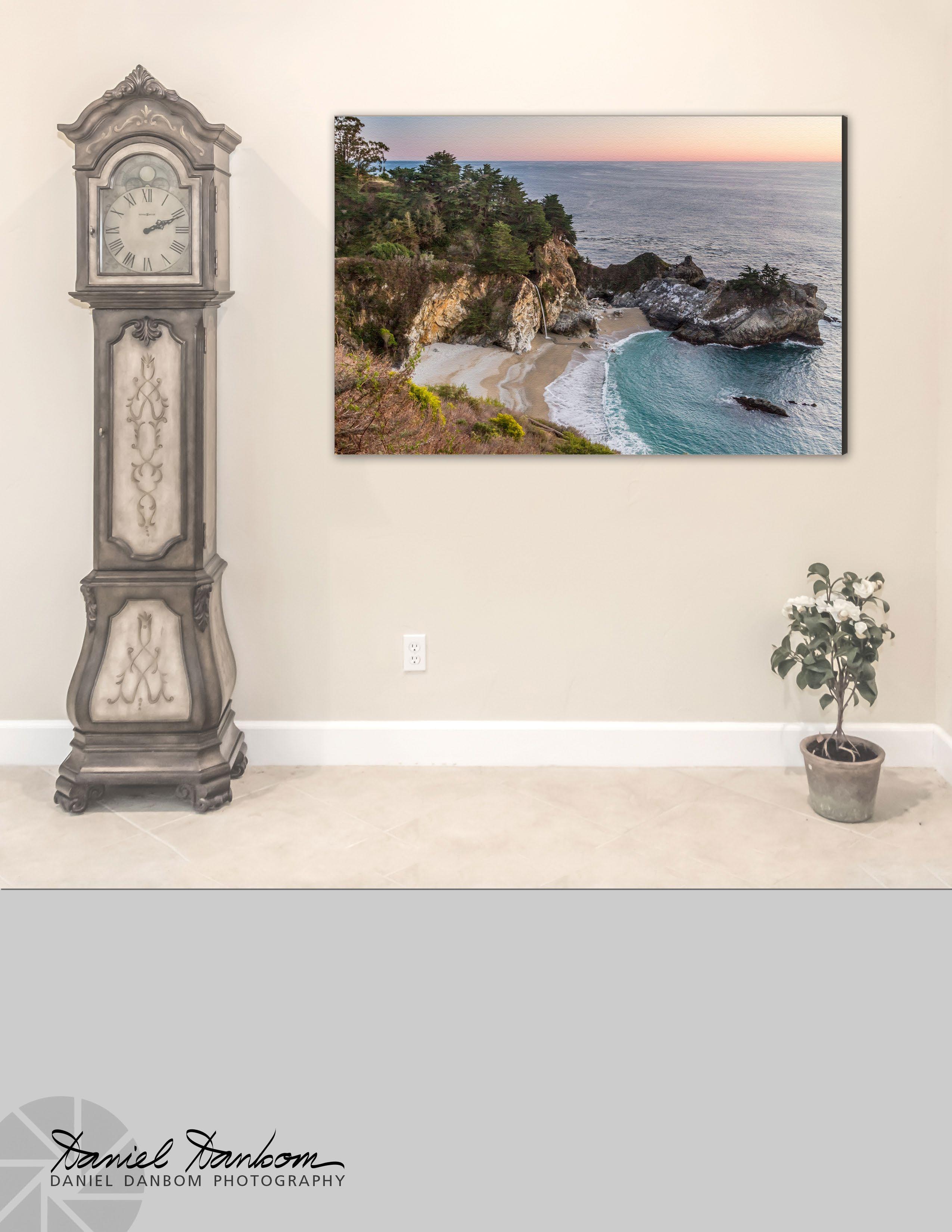
quicksilverphoto@gmail.com Order Now danieldanbom.com Big Sur Scenic Views & Vistas Gallery Prints available now (Also Rights Managed Downloads) Order Canvas Wraps Beautiful ready to hang Canvas Wrap Photographs Select from the images in this publication, plus many more images in the online catalog. DANIEL DANBOM PHOTOGRAPHY Quicksilver Fast Photo P.O. Box 31, Pacific Grove, CA 93950
Monterey Photographer, Daniel Danbom, shares his images of the Big Sur Coast. Having traveled to Big Sur over the years, this is a collection of coastal images, from a local’s point of view.
While every visit to Big Sur is unique, there are those special days where nature provides truly spectacular experiences. Days when huge swells come into McWay Cove with enormous crashing waves. The thrill of seeing a California Condor soaring overhead. Evenings with breathtaking sunsets. Being “local” to the central coast, gives one access to those treats of nature.
This collection of images represents the best of the best days, for clarity, cool clouds, and interesting coastal vistas and views.
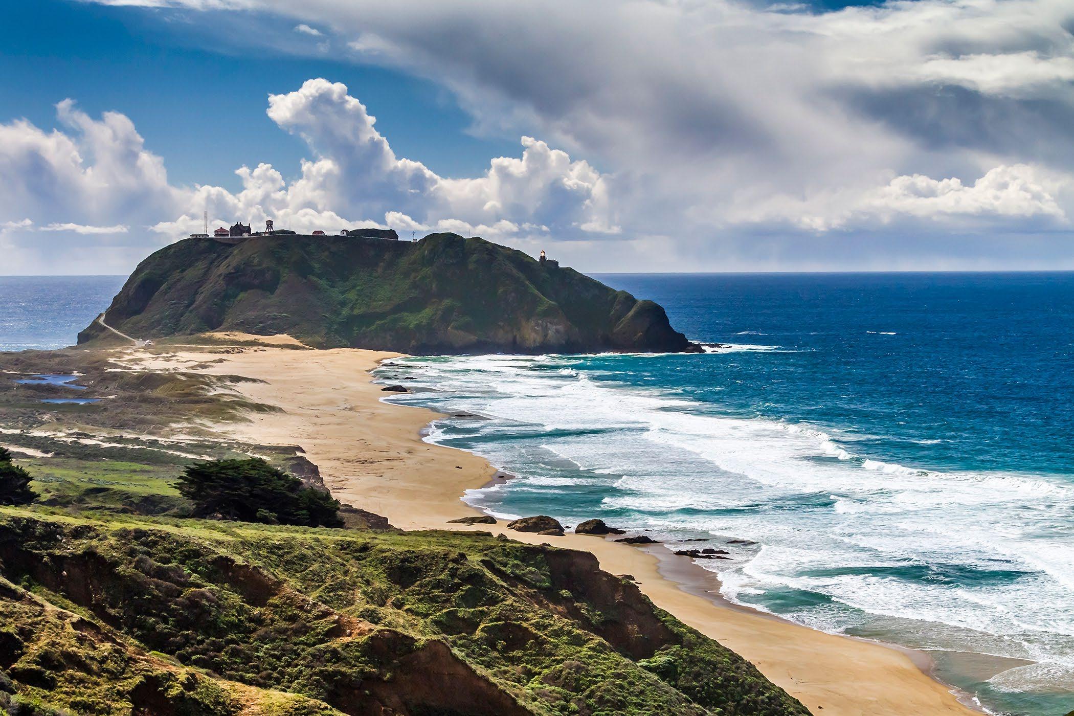
 Point Sur on the Big Sur Coast of California.
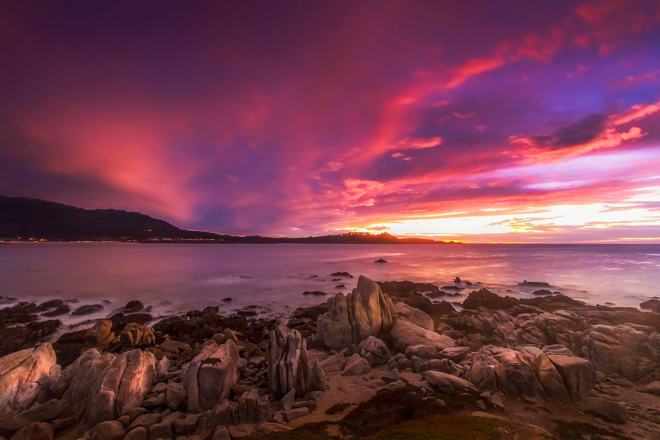
Carmel Bay Sunset with Point Lobos in the distance.
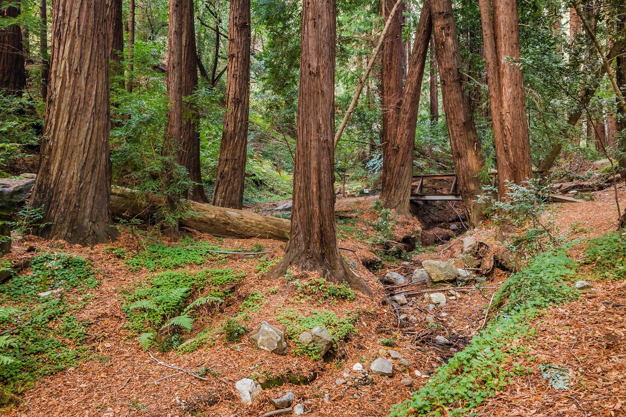 Redwoods in the Pfeiffer Big Sur State Park, Big Sur.
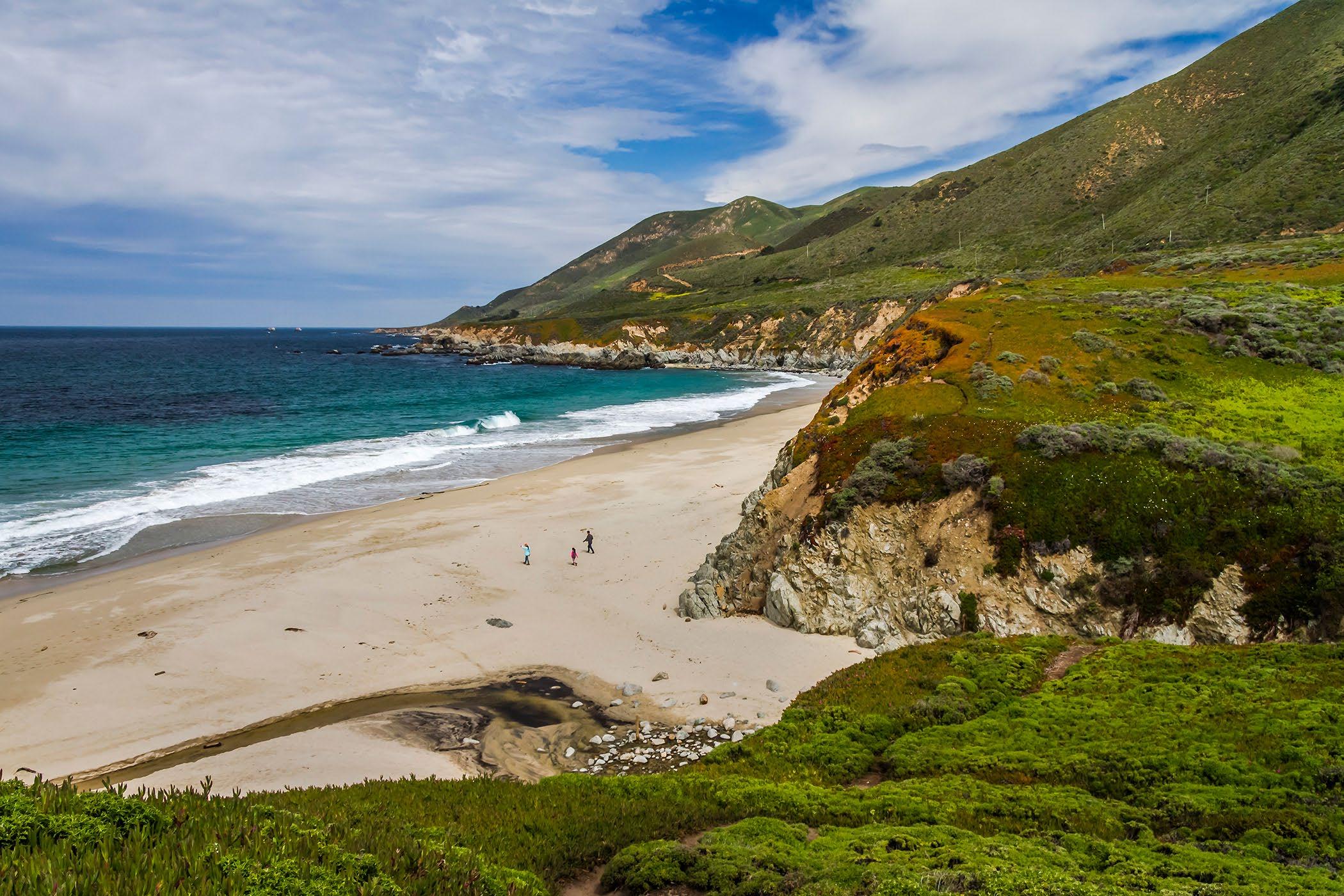
Garrapata Beach, along the Big Sur Coast.
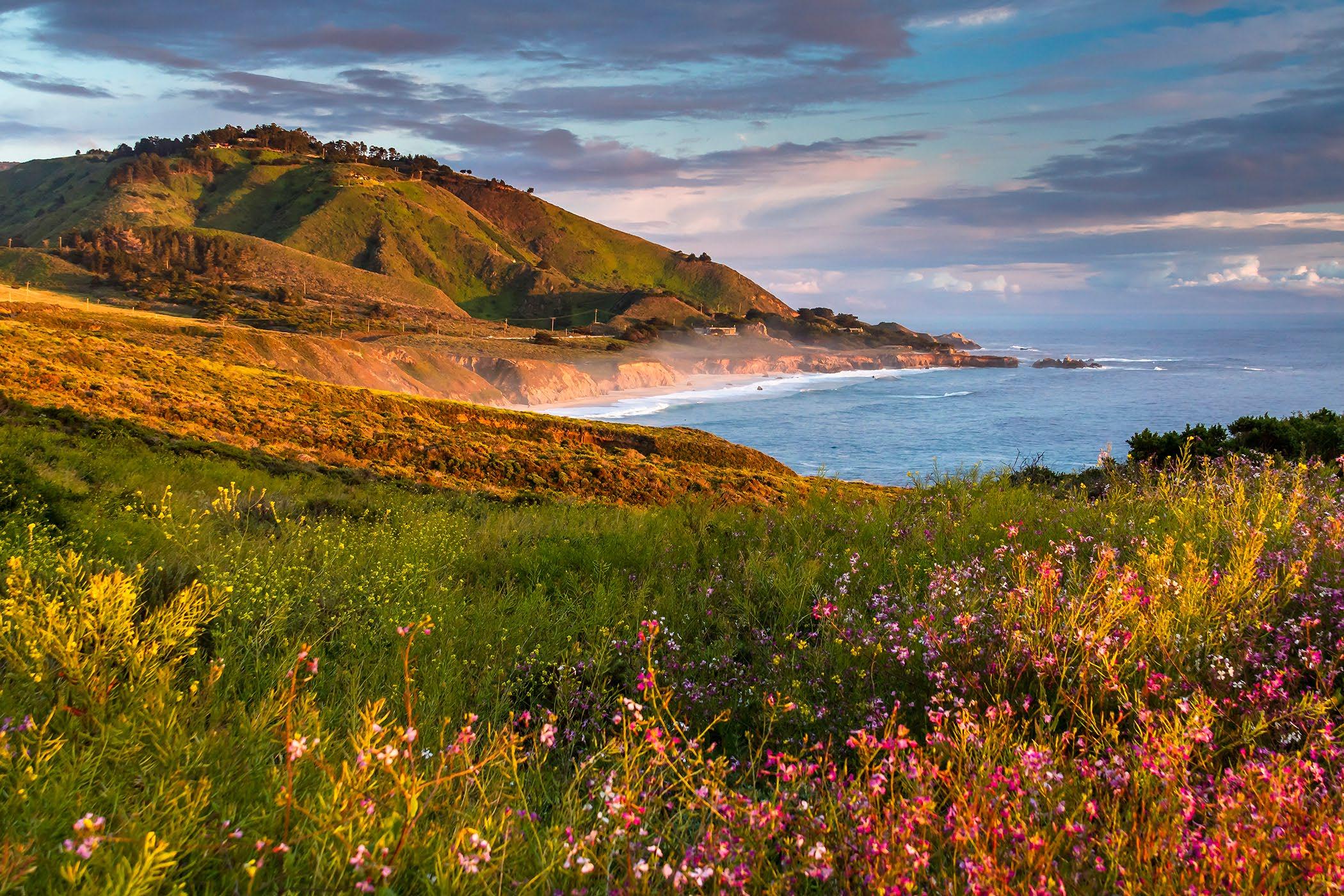
 Garrapata Beach, in the distance along the Big Sur Coast.
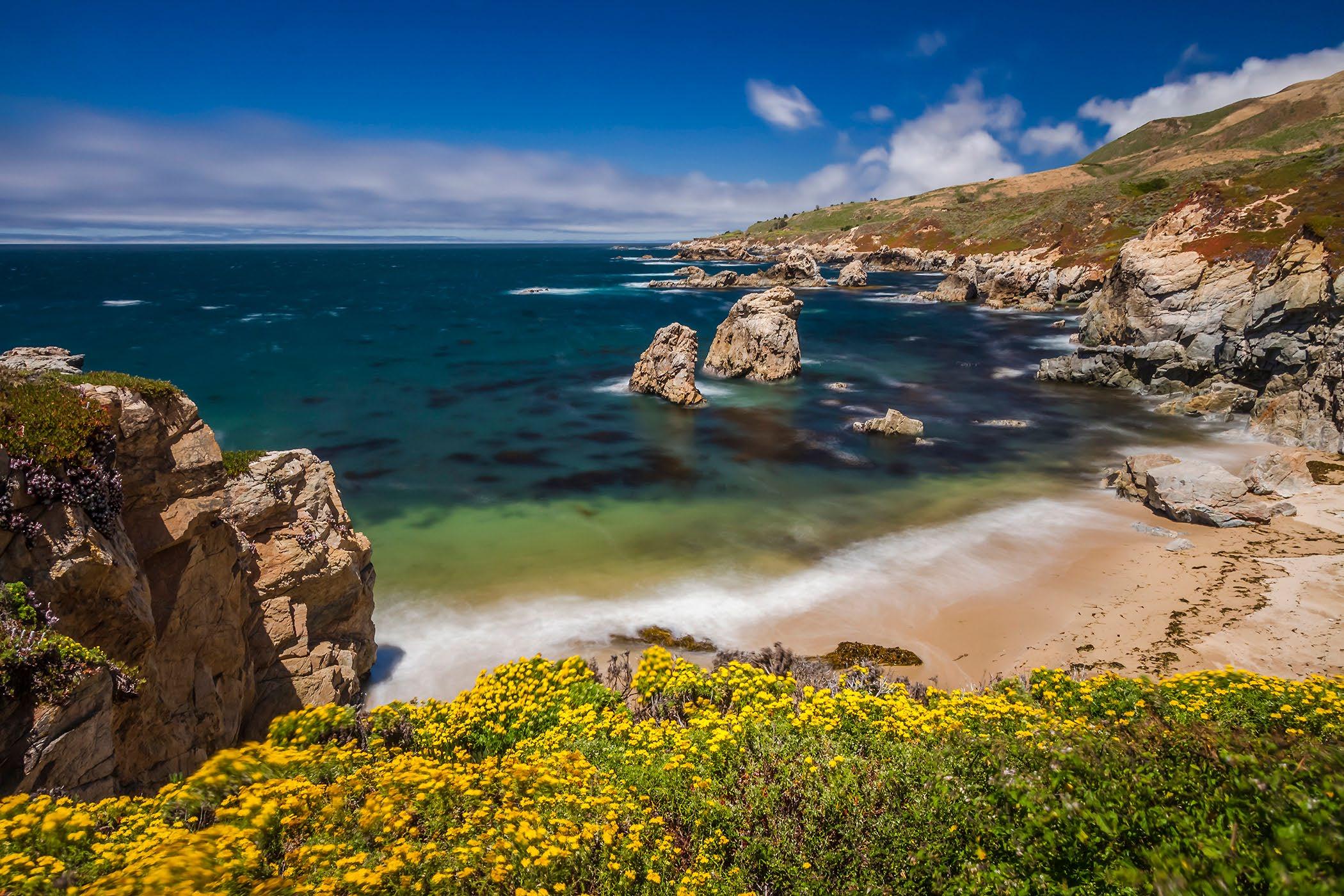
Soberanes Cove along the Big Sur Coast.
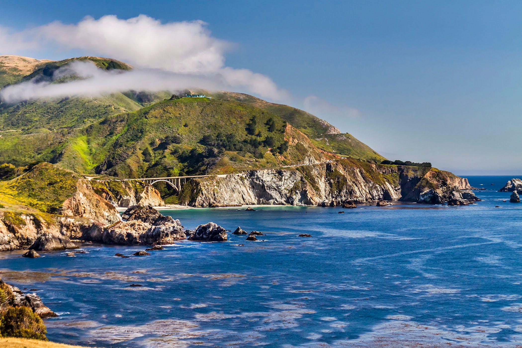
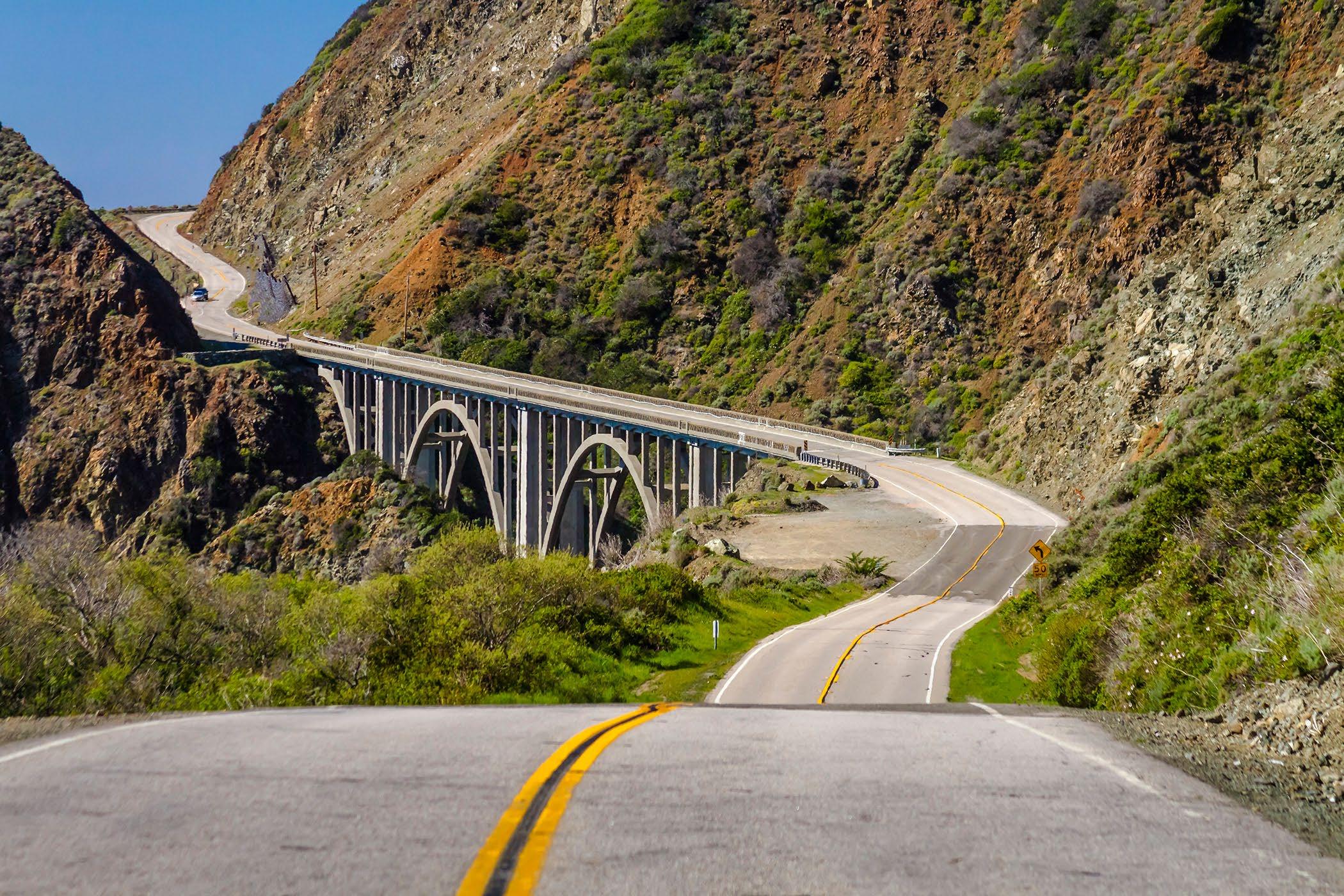 Big Creek Bridge on the south coast, Highway 1.
Rocky Creek Bridge, with the fog creeping over the hills.
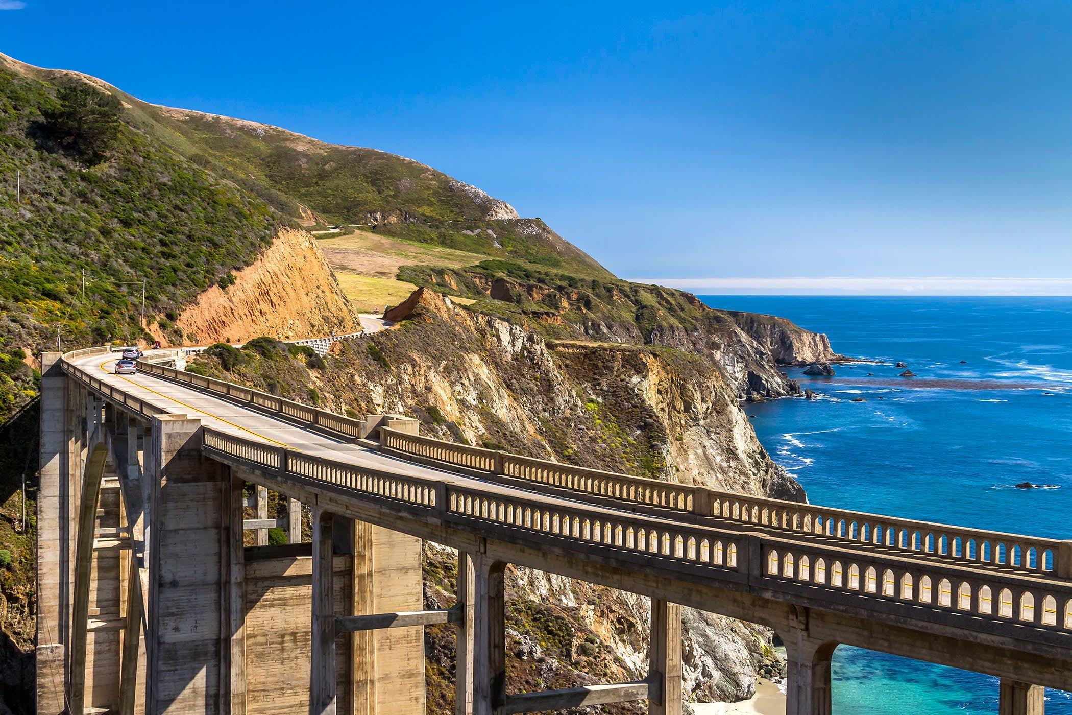
 Bixby Bridge on the Big Sur Coast.
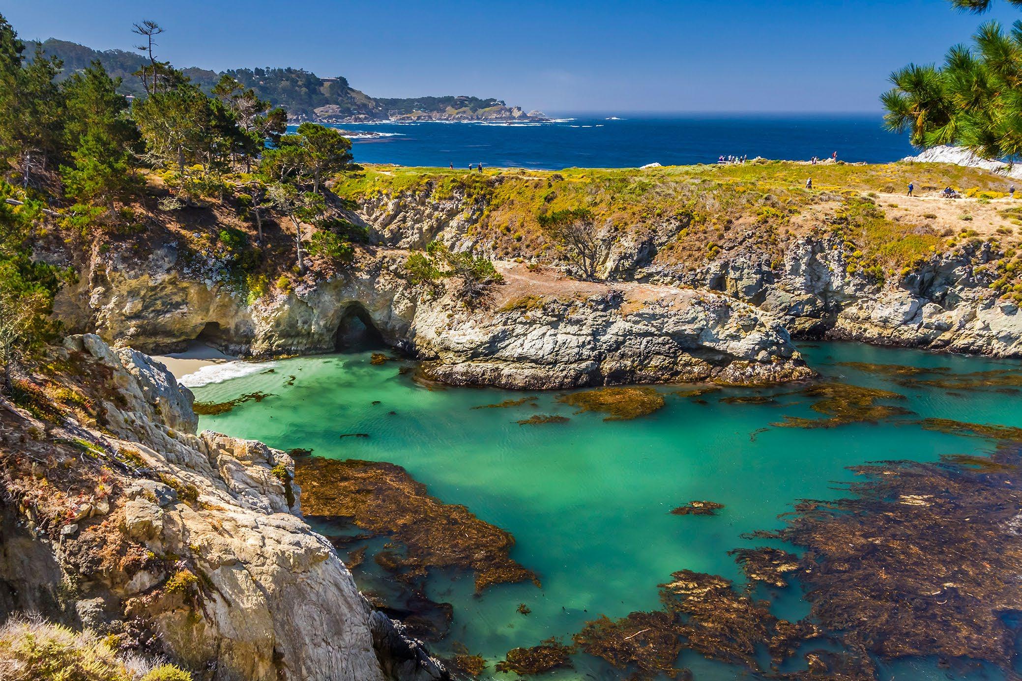
China Cove near Bird Rock in Point Lobos State Reserve.
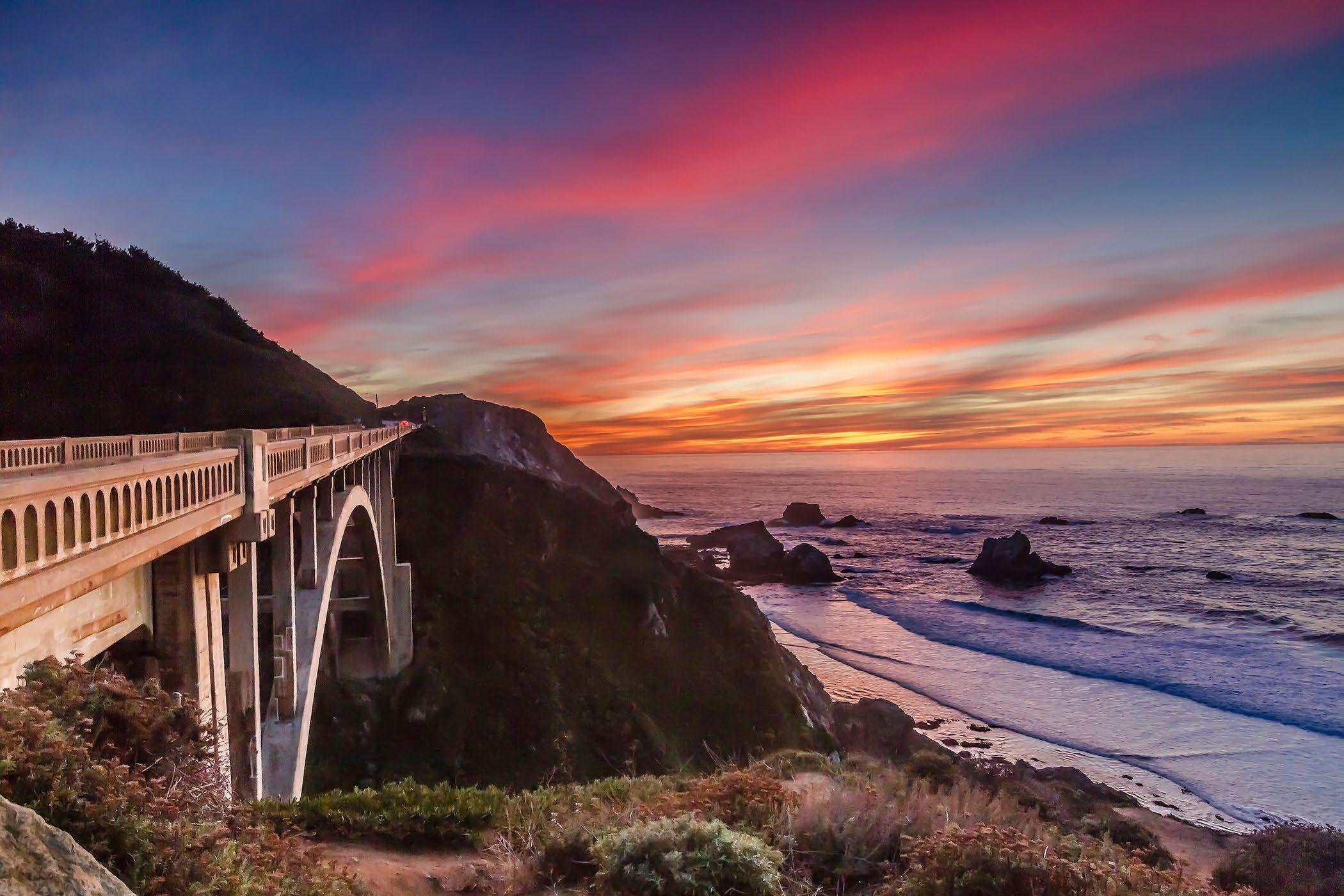
 Rocky Creek Bridge on the Big Sur Coast.
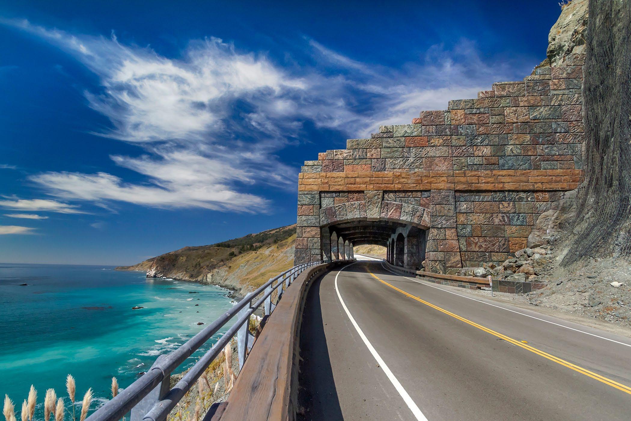
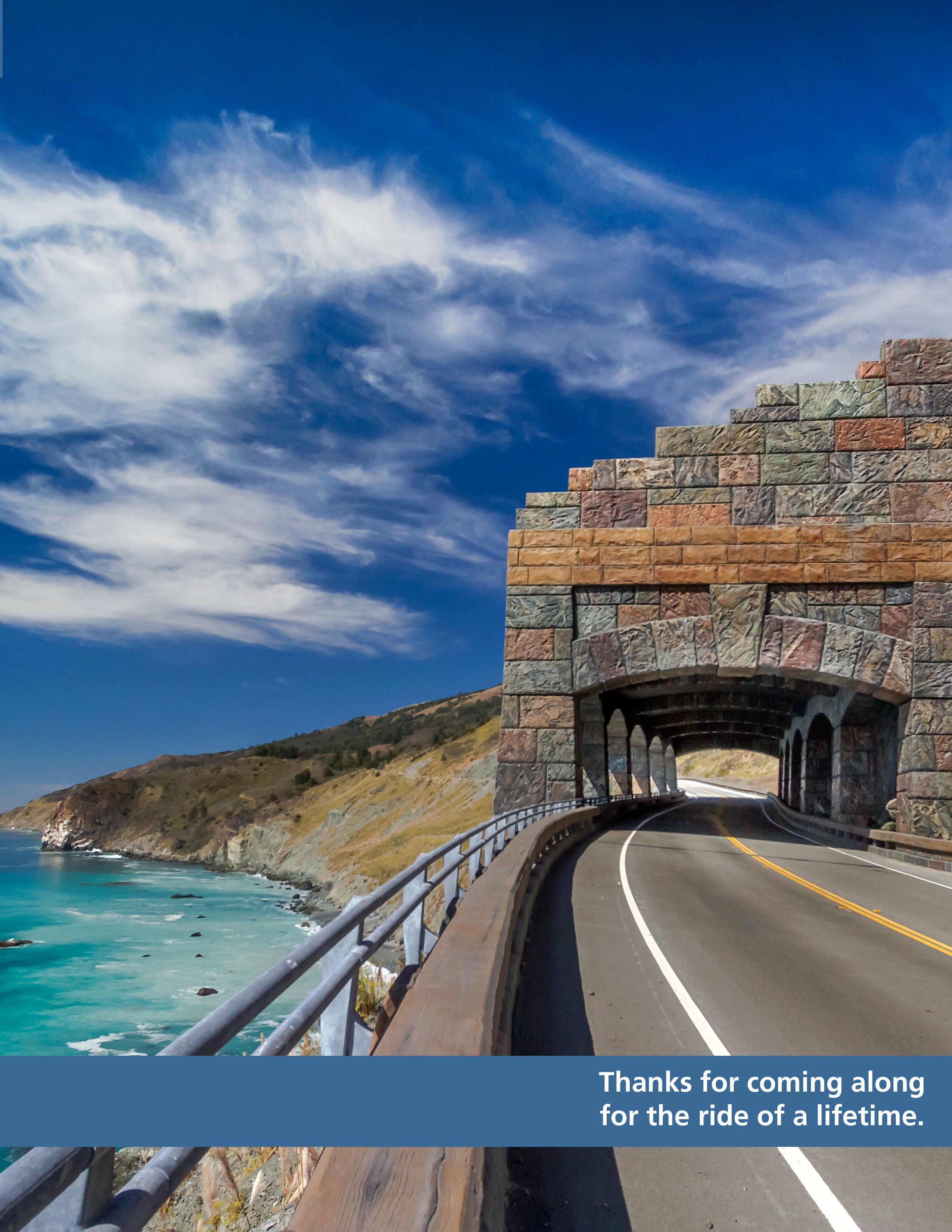
The Rock Shed on Highway 1 near Limekiln Creek.
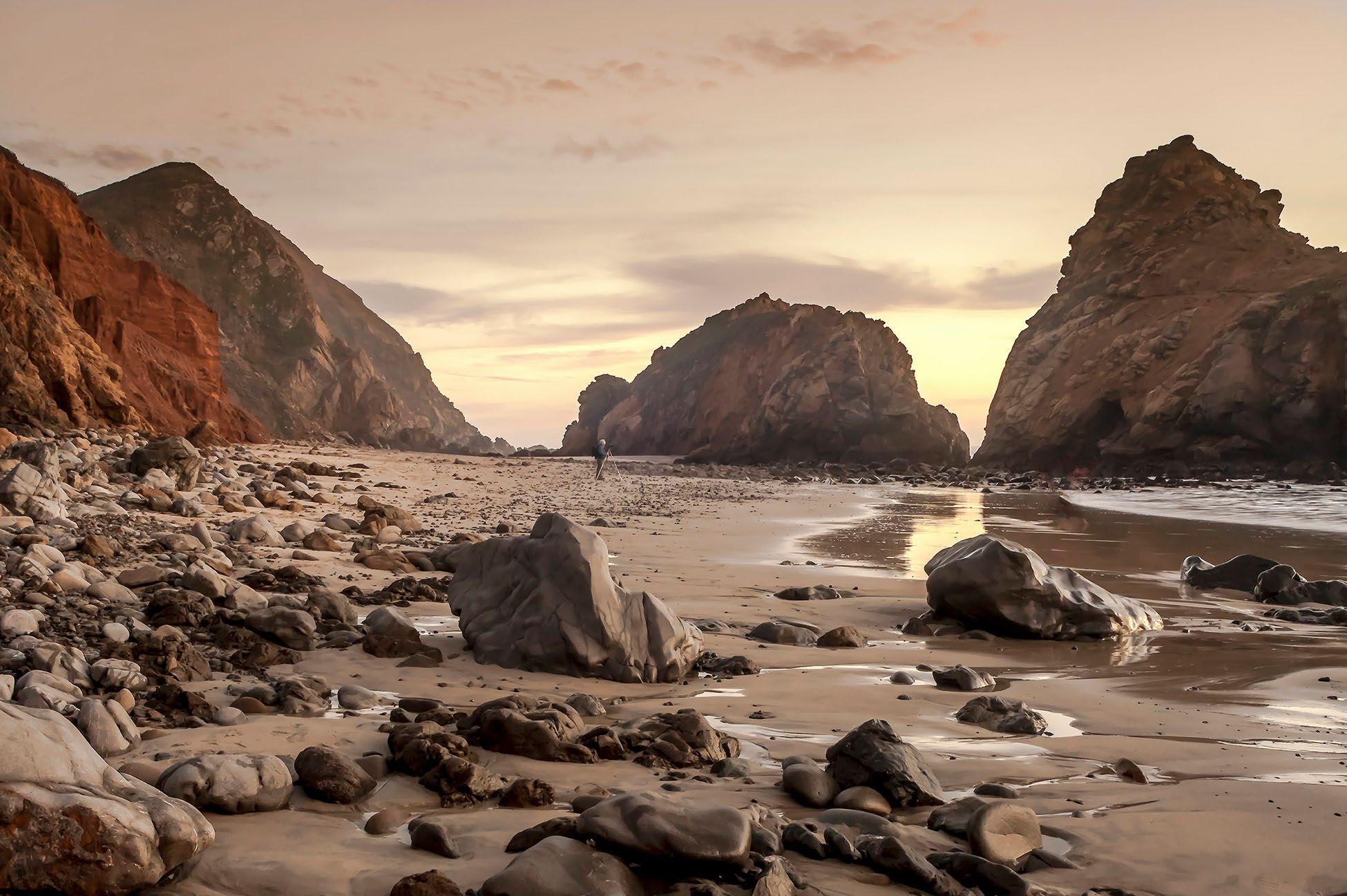
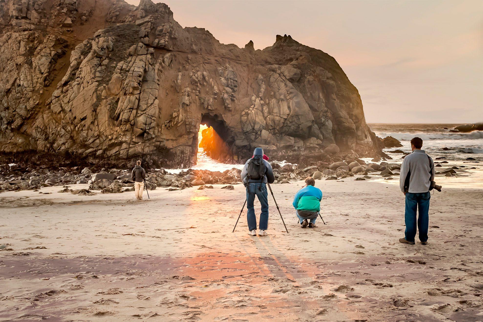
Pfeiffer Beach is one of the destinations many want to visit on the Big Sur Coast. One of the main attractions of the beach is the “Keyhole” in the rock. In winter, the setting sun, shines through the hole in the rock. Another attraction is the purple sand, on the windswept beaches of Pfeiffer Beach.
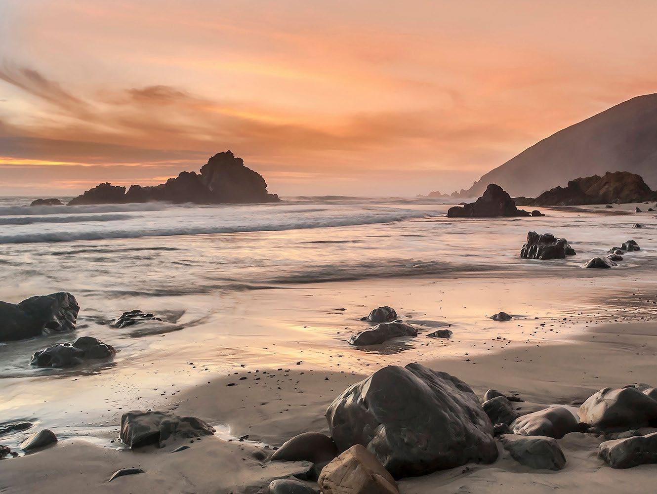
Access is often limited during peak times. The road to the beach is unmarked and narrow. Drive slowly and carefully. Parts of the road are one lane, requiring waiting in turnouts for oncoming traffic and your turn to proceed.
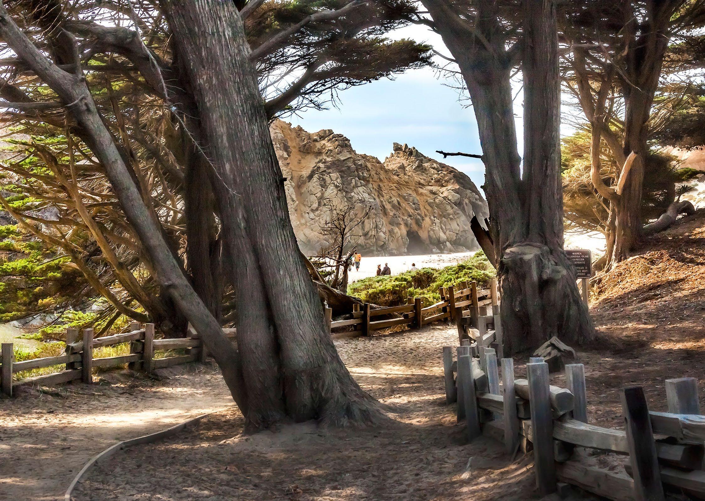 The entrance to Pfeiffer Beach from the parking lot.
Pfeiffer Beach, Big Sur

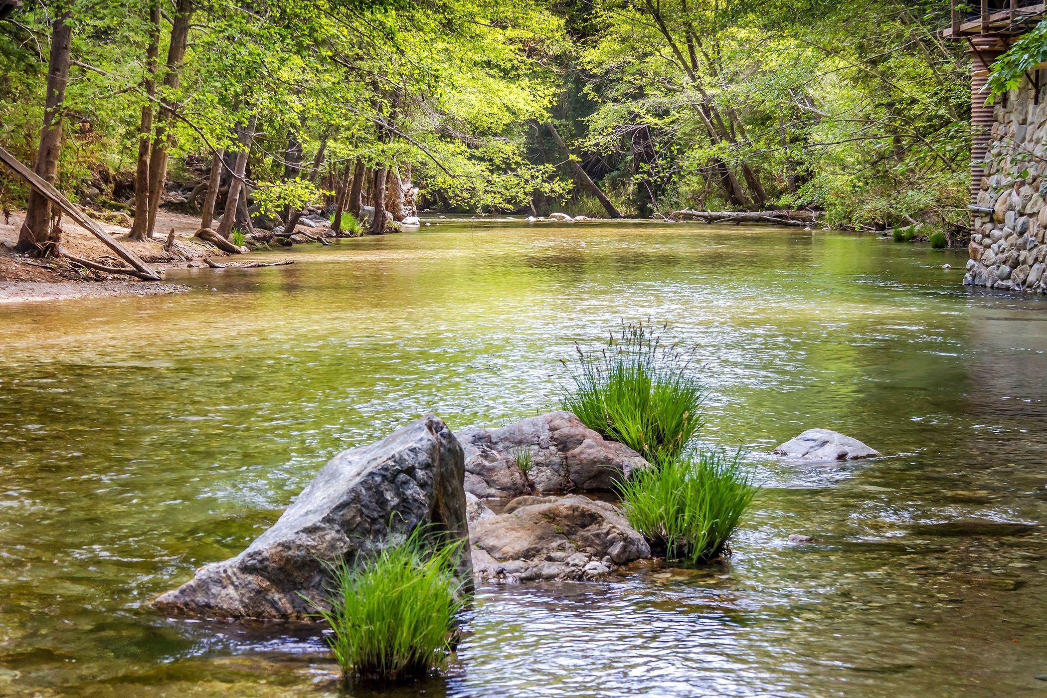
 Big Sur River near the Waylans campground, Pfeiffer Big Sur State Park.
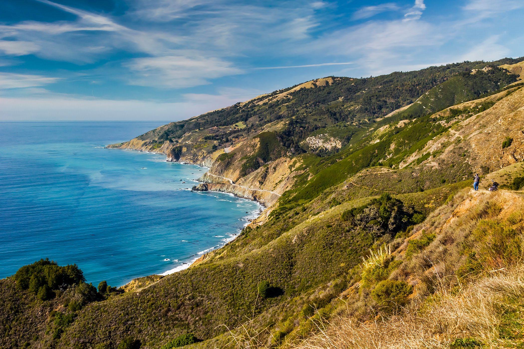
Looking north toward Lucia, on the south coast of Big Sur.
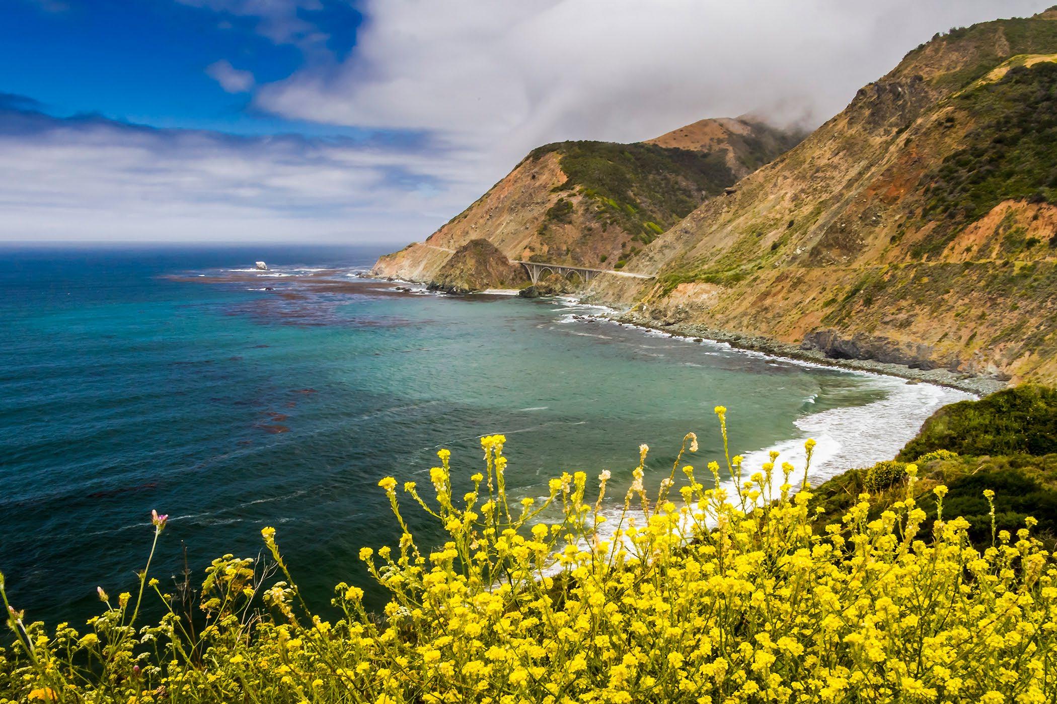
 Looking north to the Big Creek Bridge, on the south coast, Big Sur.
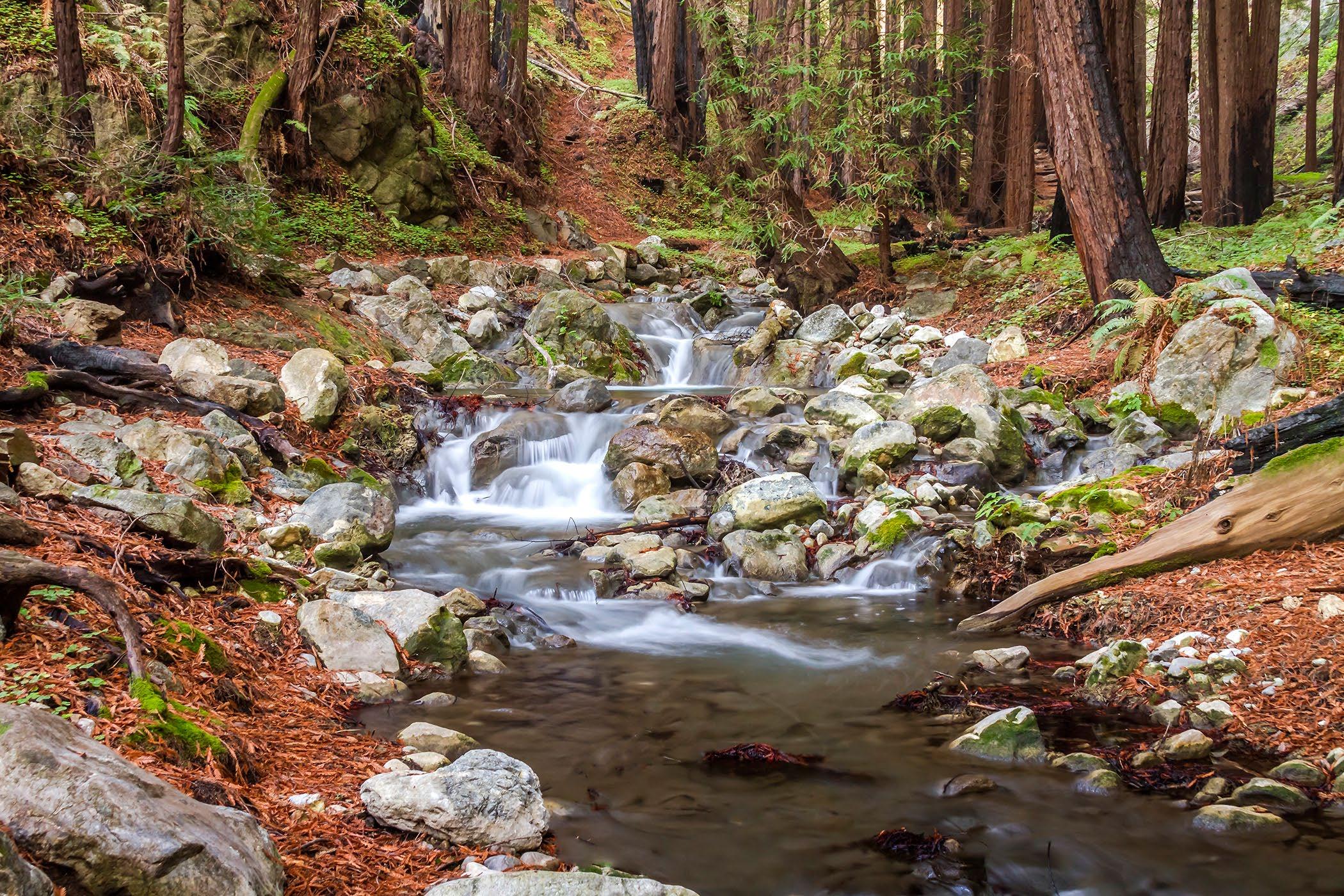
Limekiln Creek just south of Lucia, on the south coast of Big Sur.
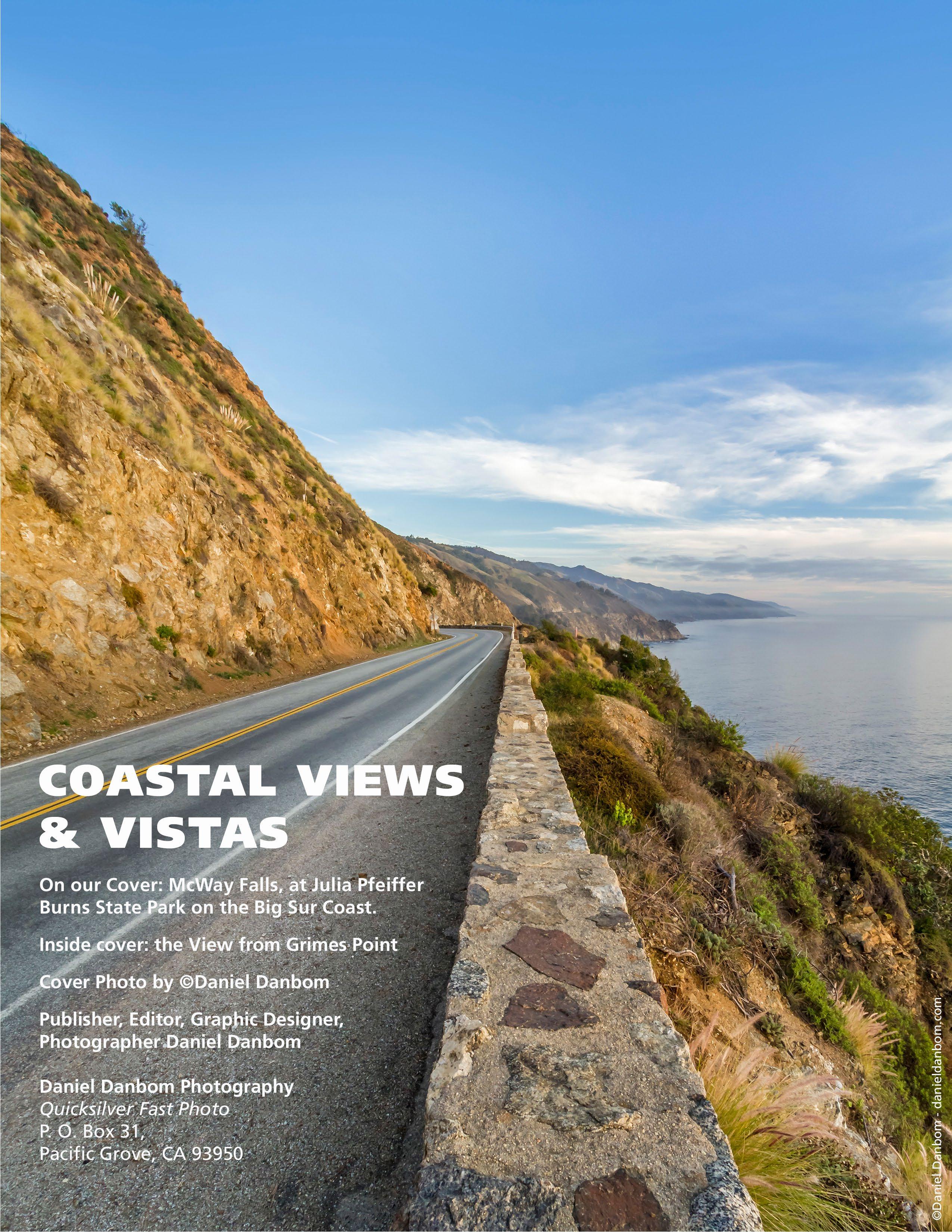
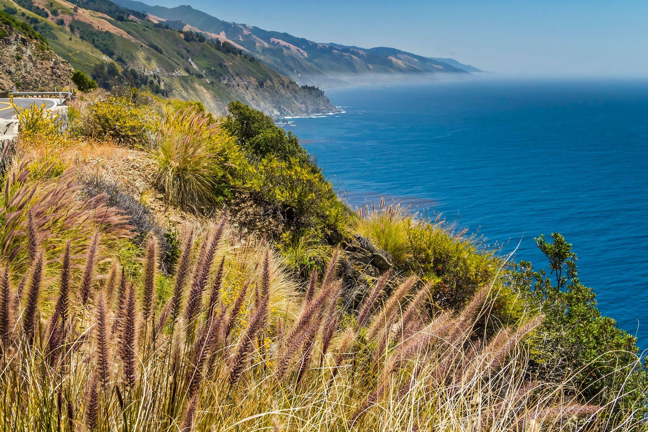 The View looking south from Grimes Point towards Partington Ridge and Point.
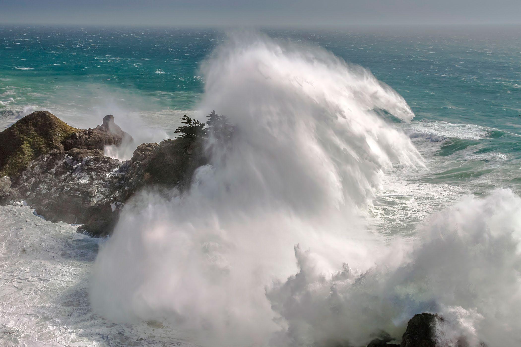
Huge waves at McWay Cove at Julia Pfeiffer Burns State Park.
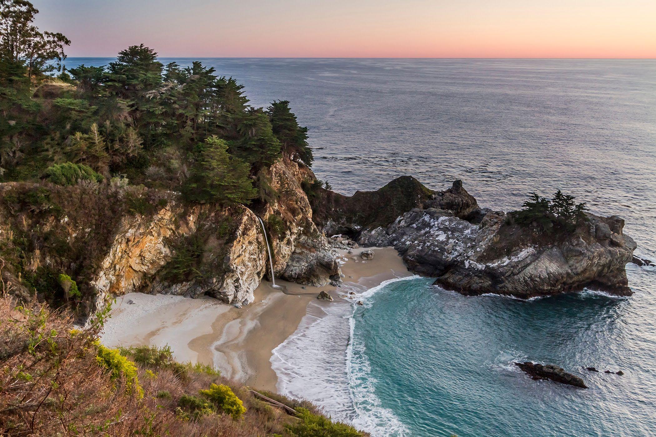
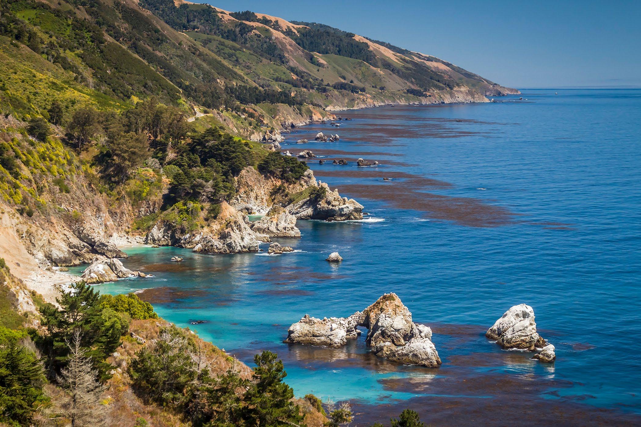 McWay Falls at Julia Pfeiffer Burns State Park.
The view from above the Whale turnout vista point, just north of McWay Falls.
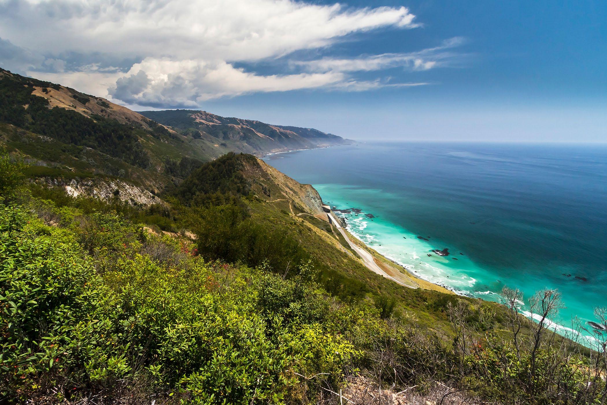
 Above the Rock Shed, near Limekiln Creek, on the south coast.
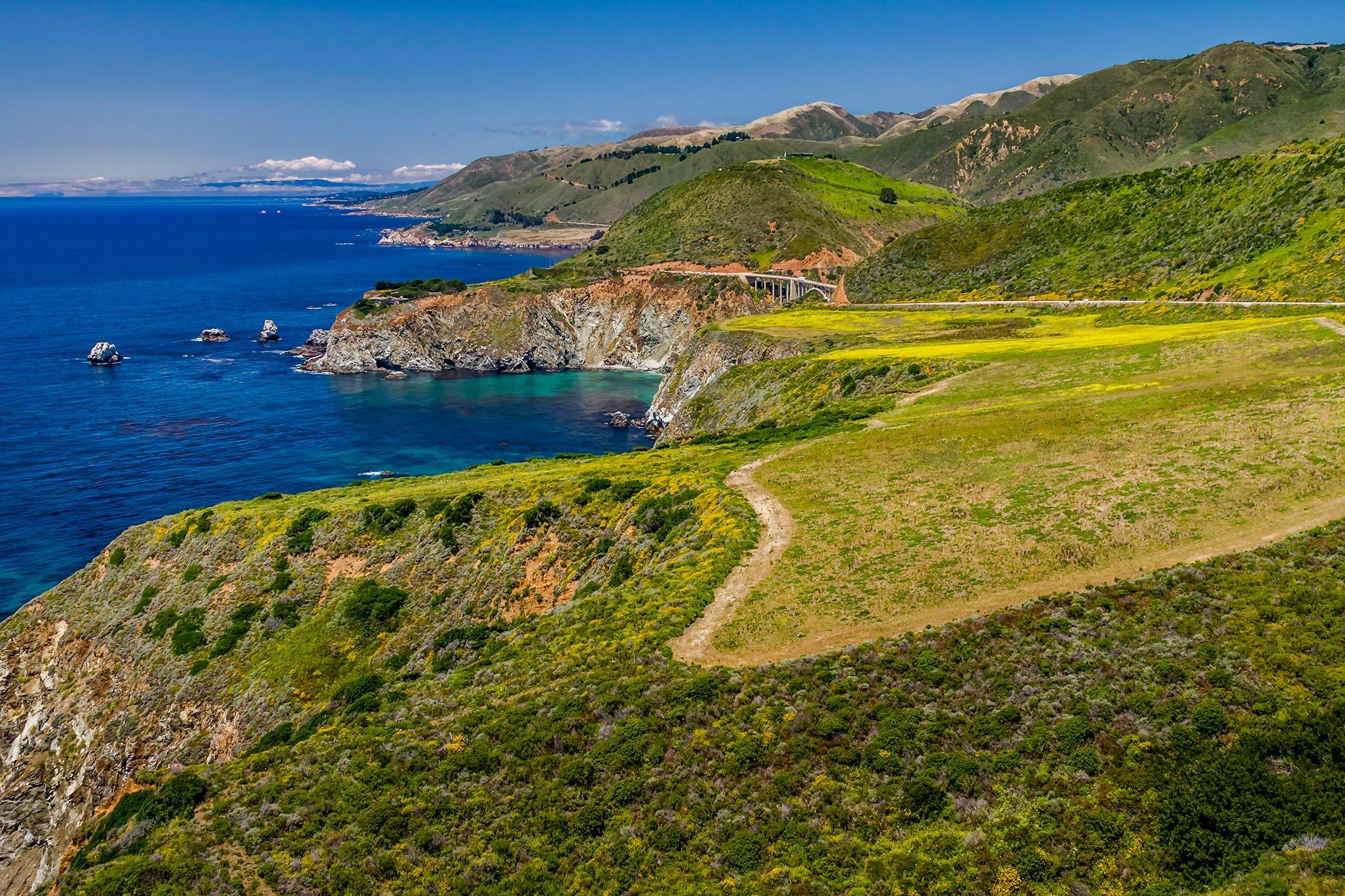
The view looking north to Bixby Bridge from Hurricane Point
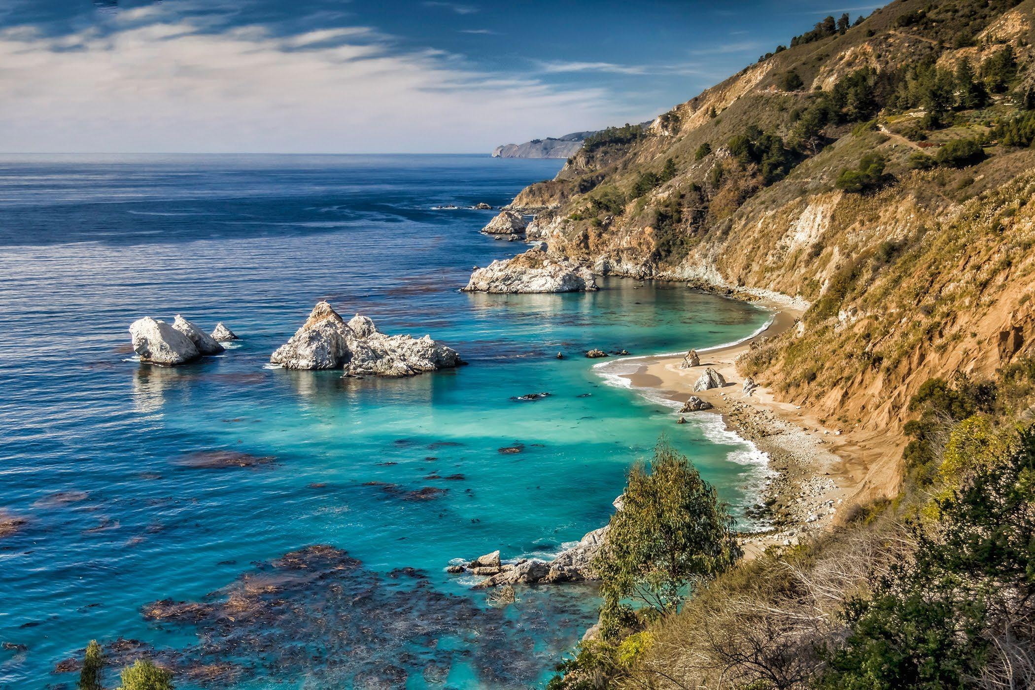
 Julia Pfeiffer Burns State Park overlook, view to the north.
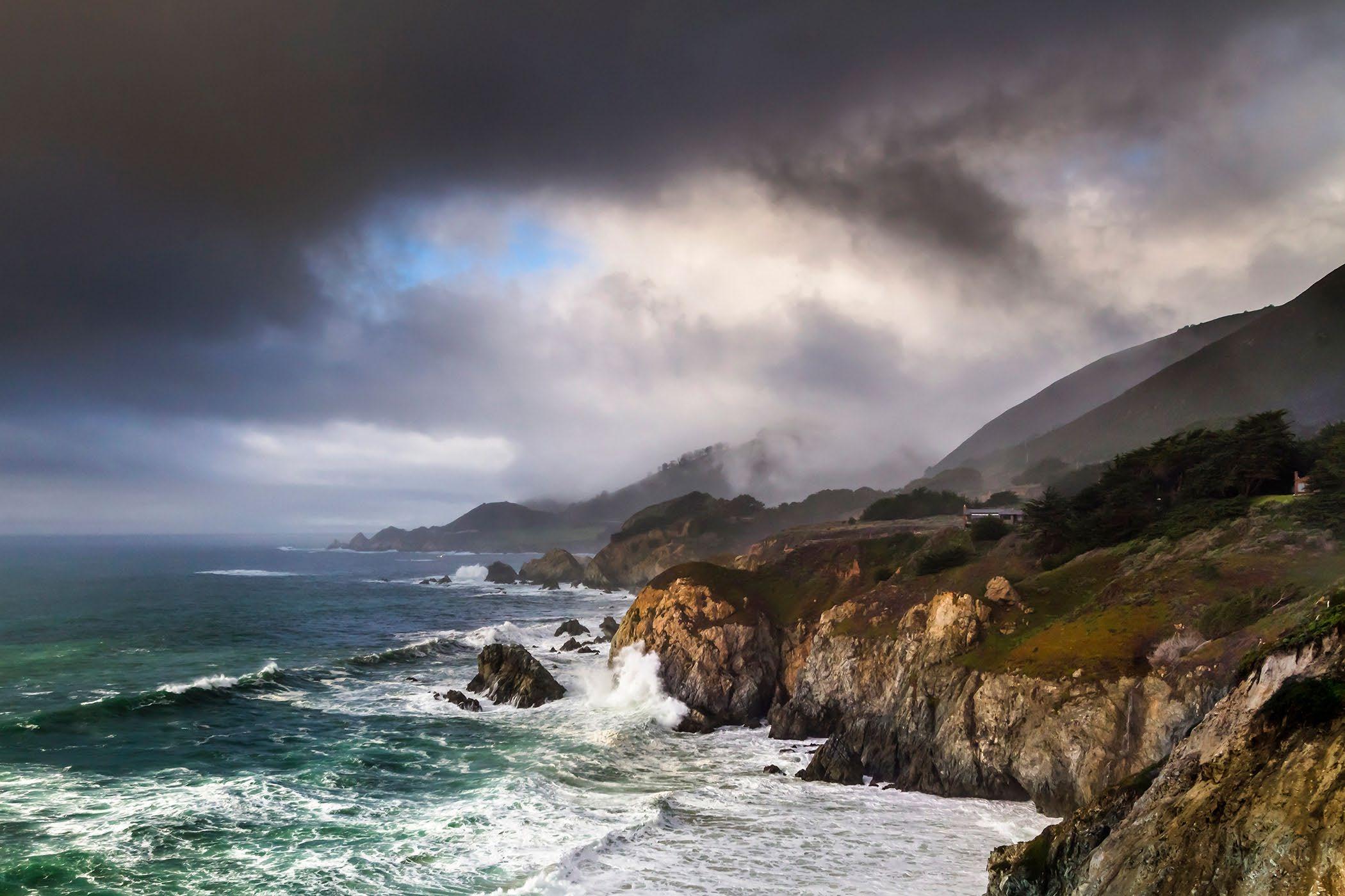
The view from Rocky Creek toward Rocky Point on the Big Sur Coast.
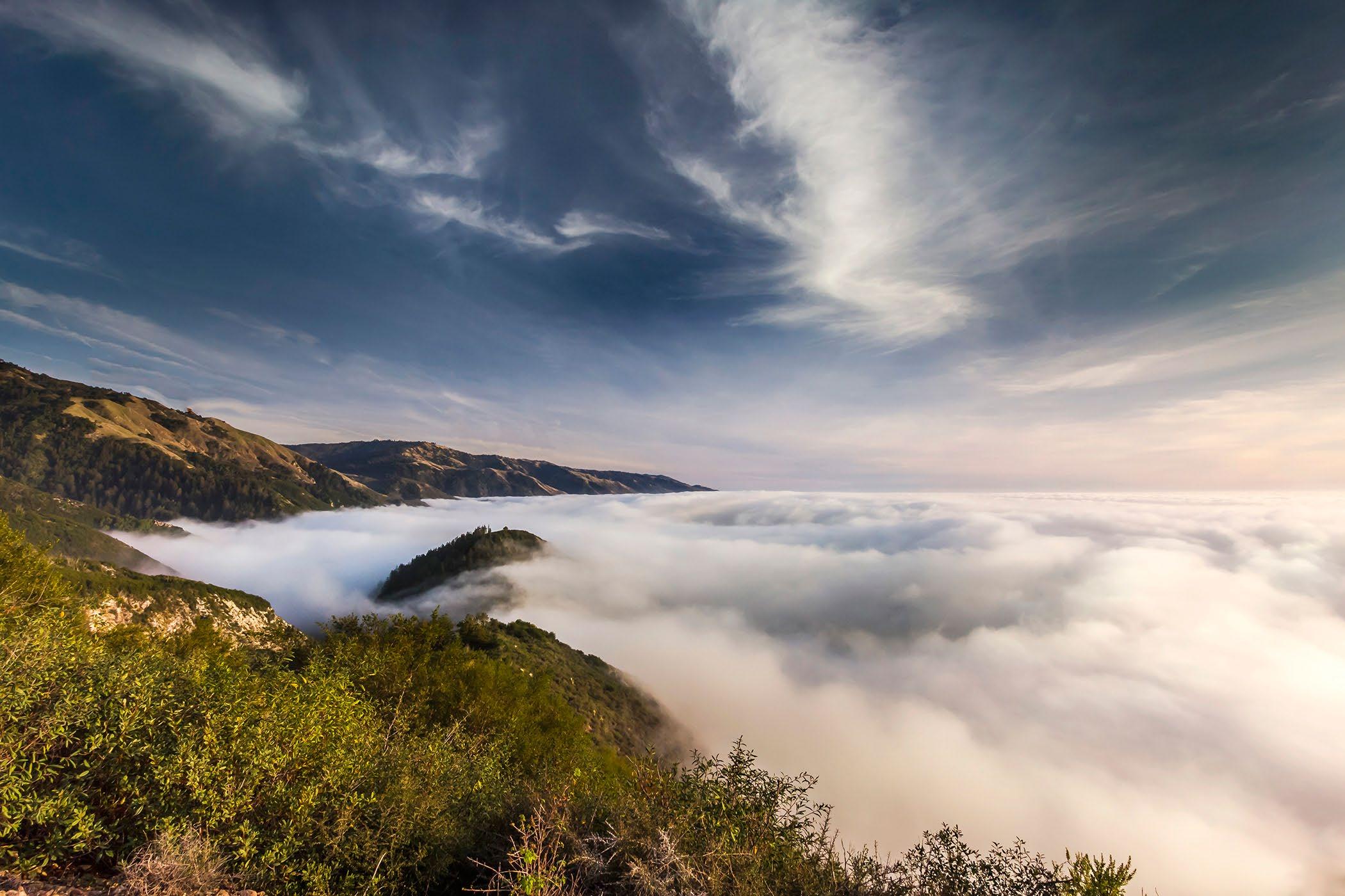
 The fog hugs the coast, near Limekiln Creek, over the Rock shed south of Lucia.
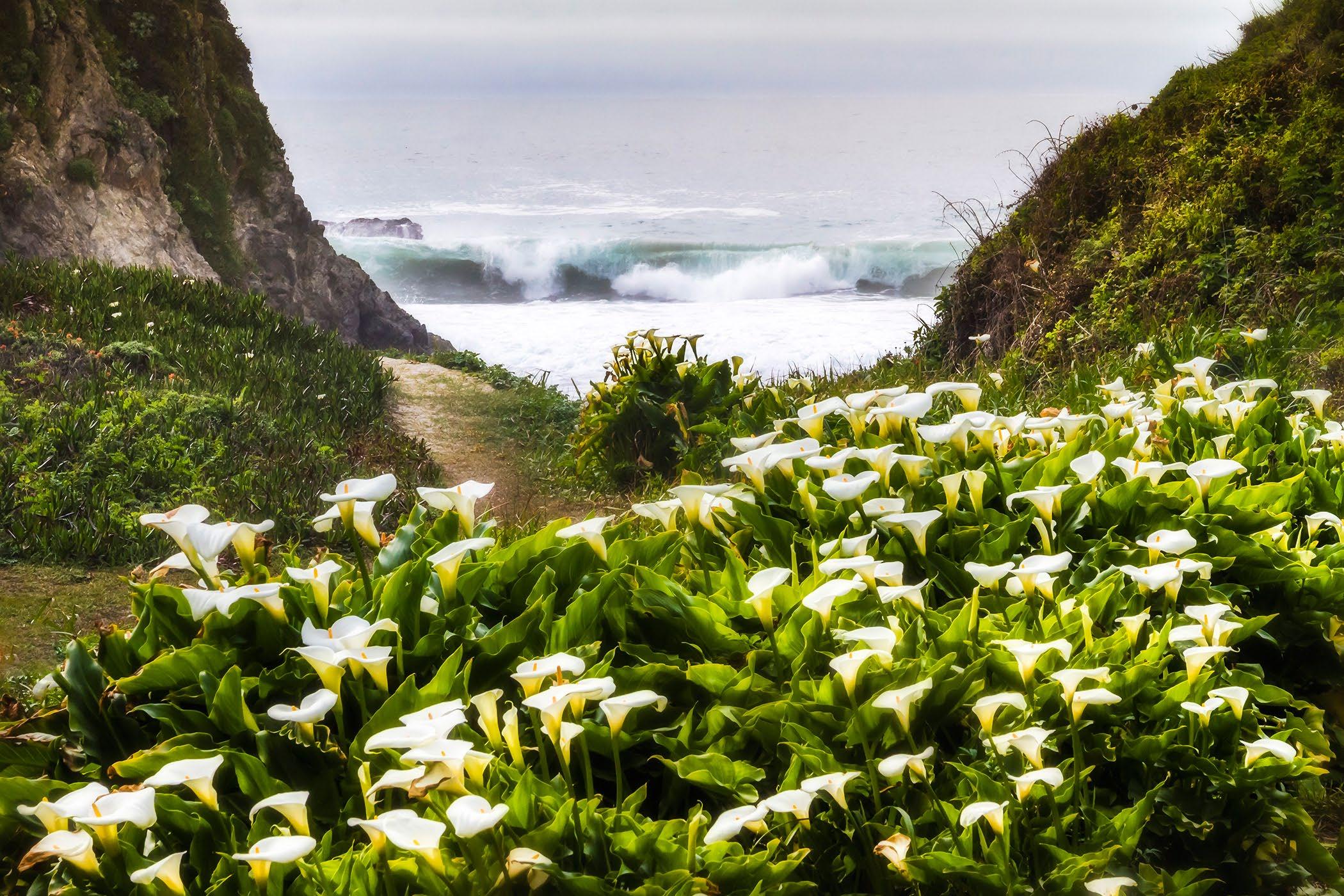
Doud Creek with the Lilies, at Garrapata Beach, along Highway 1.
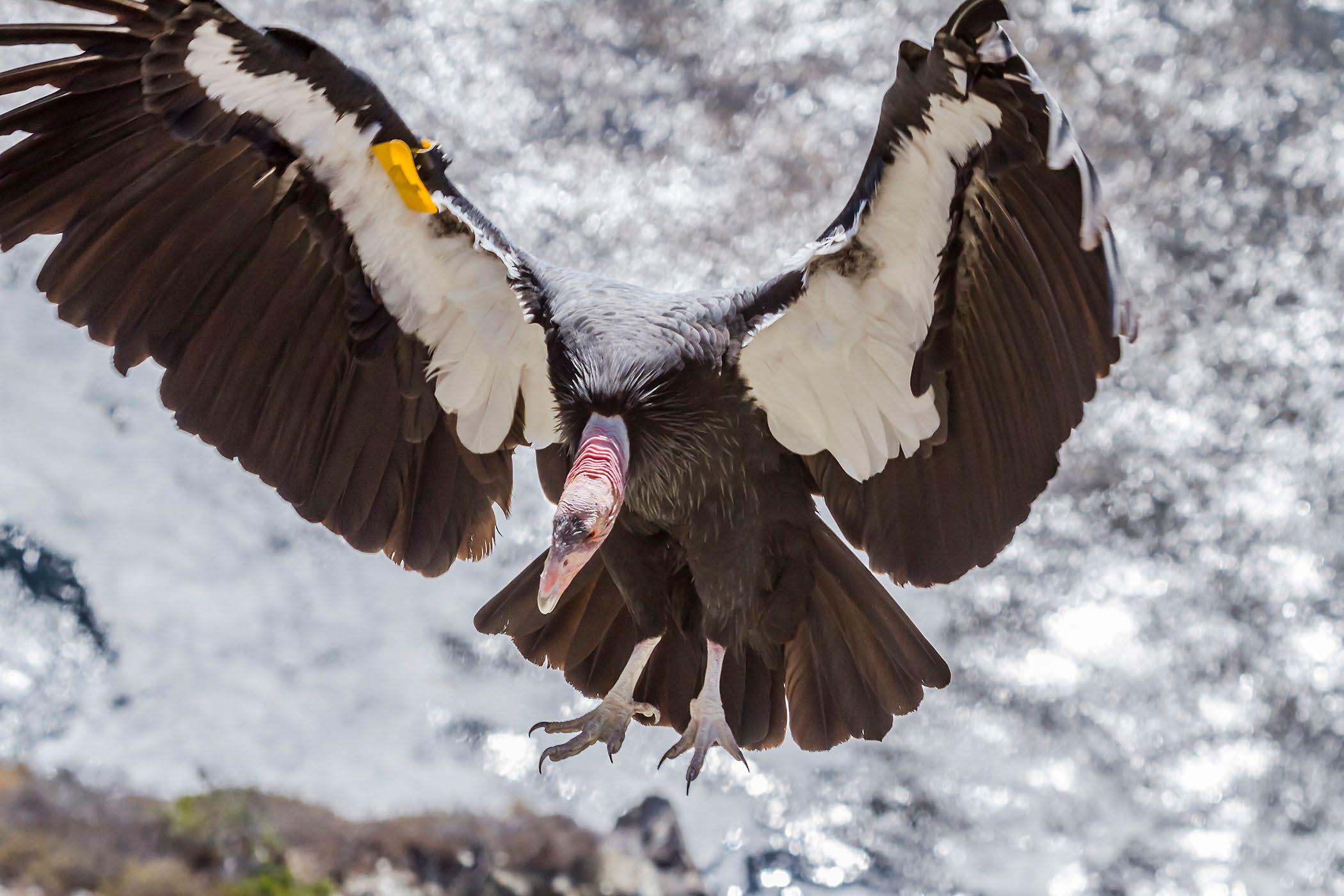
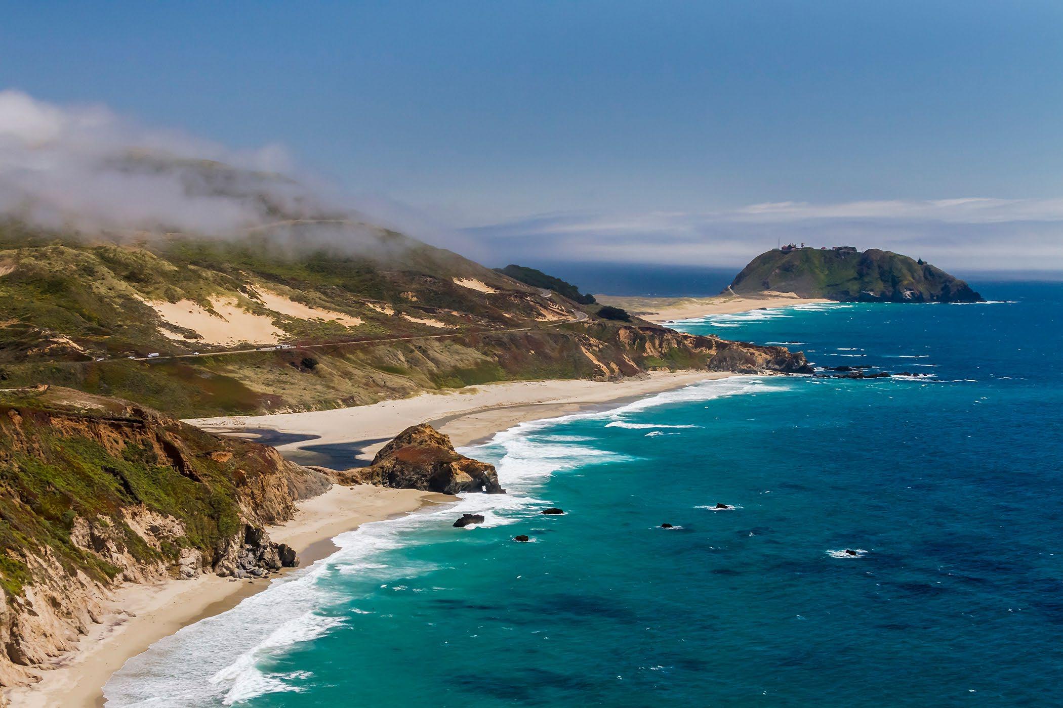 A California Condor, #204 Amigo, comes in for a landing along the coastal cliffs.
Summer fog creeps along the coastal hills at Little Sur River, and Point Sur in the distance.
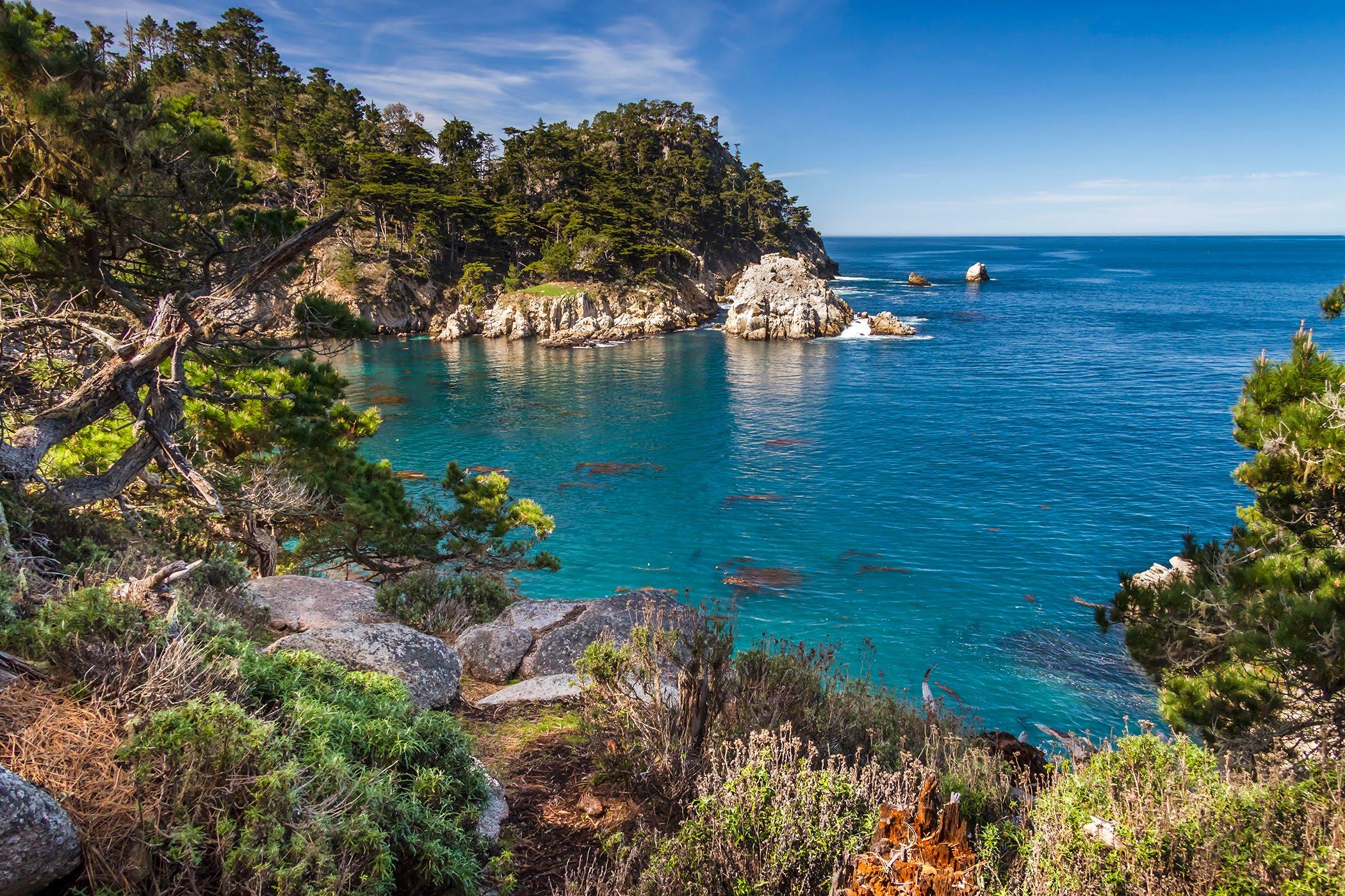
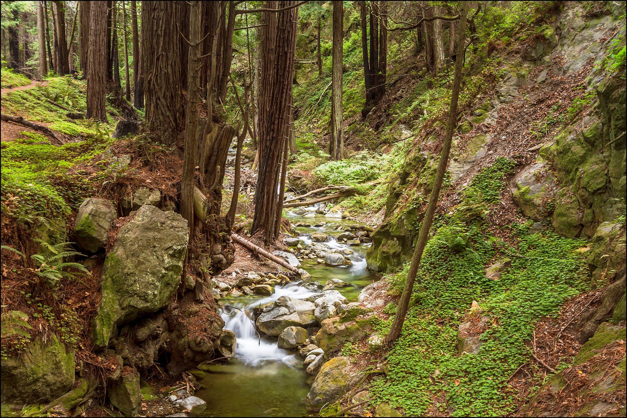 Point Lobos State Natural Reserve on Highway One south of Carmel.
Limekiln Creek on the Big Sur Coast.
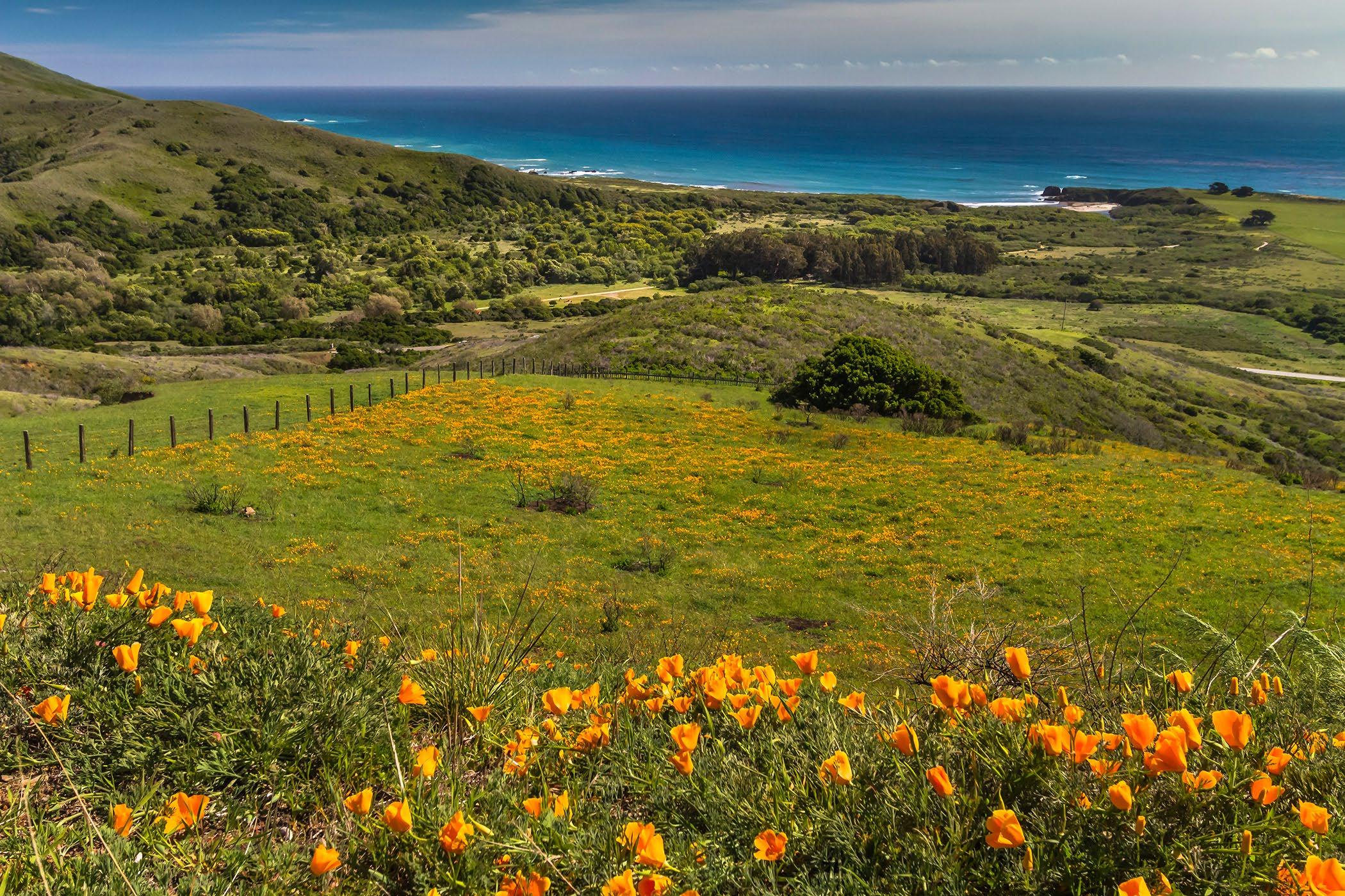
 Old Coast Road overlooking Andrew Molera State Park.
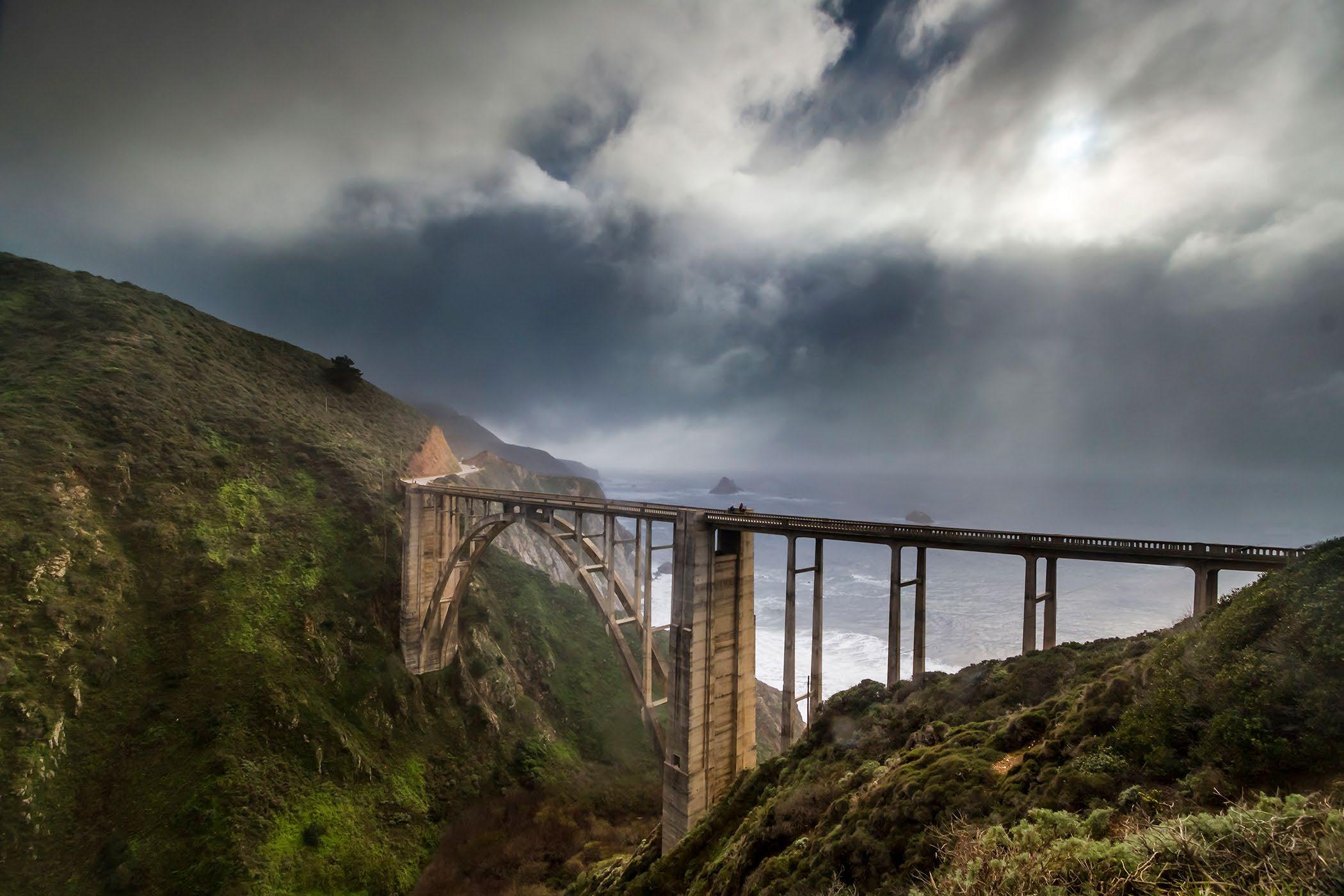
Storm Clouds over Bixby Bridge.
A note from Dan, the photographer
I wanted to share my photography of the Big Sur Coast with Coastal Views and Vistas. Having lived on the Monterey Peninsula for many years and traveled down the coast often, I wanted to share some of the beautiful scenes one encounters on the coast, Highway One.
The Coast is unique and wonderful, but threatened by being “over-enjoyed” by too many people. So, one must be respectful and cognizant of the fact that one should not leave a record of their visit. Just barely visible footprints in the dust, but no other indications, that one was there. (Pick up all your trash, take it with you.)
Some tips and thoughts from Dan
1. Rest stops, and restrooms are few and far between. Use the facilities at your stops, for lunch, shopping or hiking. Using the roadside as a “restroom” is disrespecting others who visit after you, and disrespecting of the environment.
2. Cell phone service is intermittent to non-existent along much of the coast. Plan your stops and plan your trip accordingly. Which also means calling for a tow truck to fix a flat can be a problem, or to unlock your car with the keys in the ignition. Do not leave valuables in plain sight in the car. Lock your car, leave portable valuables hidden in the trunk, or under cover!
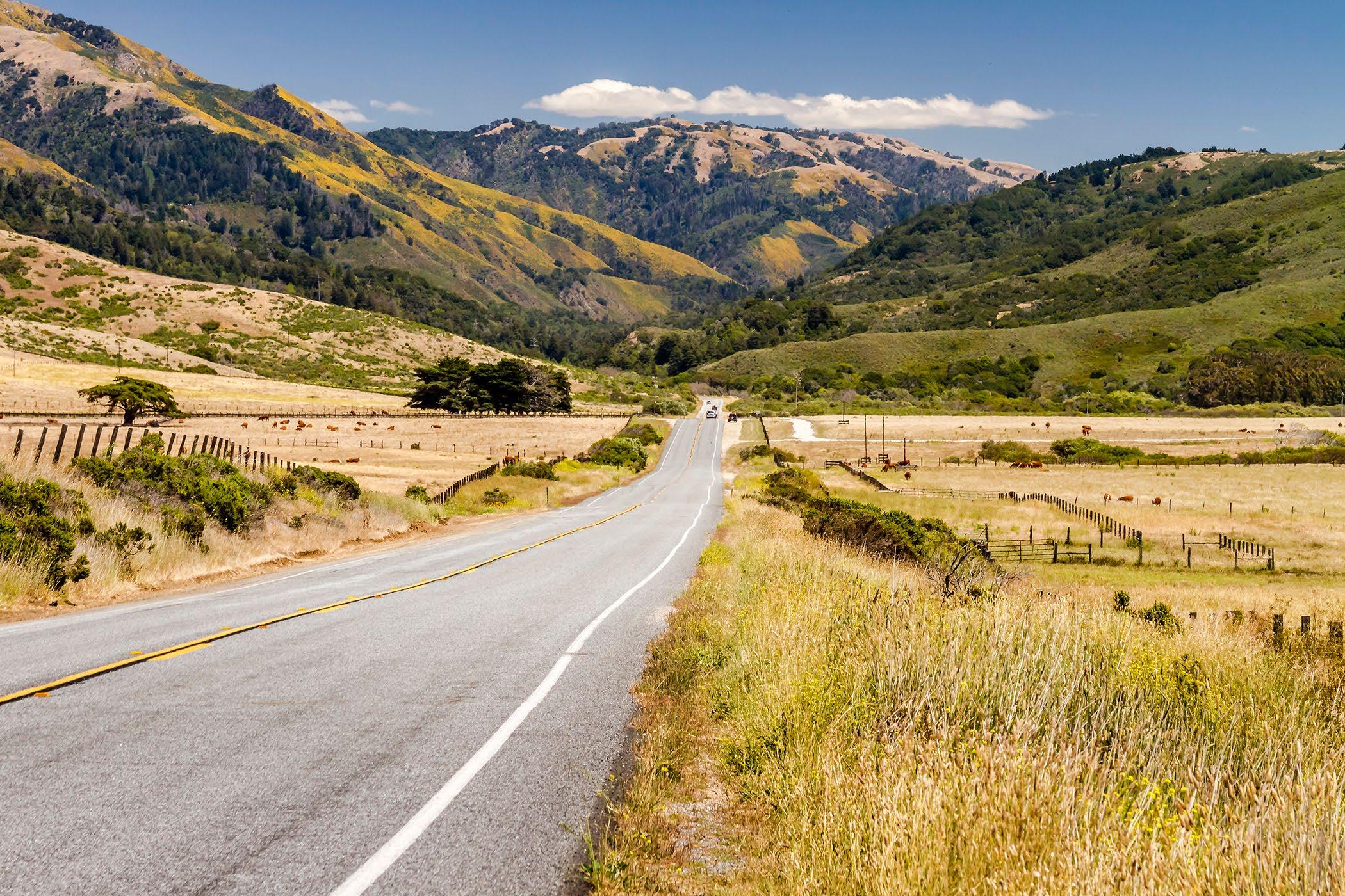
3. Share the road with bicyclists, watch for motorcycles, watch the road, not the scenery. Highway 1 is the only road through the coast. There is no “back road,” for locals or service vehicles. The truck delivering food for the coastal restaurants, is on a schedule, so is the phone repairman, or plumber going to a job. Locals have to use the same road you are touring on. So, pull over, or be patient if you have to follow a delivery truck, or service vehicle.
4. Remember emergency services can be coming from quite a distance, it takes time and they have to contend with the traffic to respond. Pull over safely, slow to let them pass. Drive carefully, in case of an accident, it maybe longer than you would like for emergency services to arrive. Drive Carefully!
5. Highway One is built on a dynamic landscape. Rocks, slips of dirt and debris, or mud and water can be active at all times. One can come around a corner to encounter rocks or debris that have just fallen. Be Alert!
6. Drive defensively and safely. Other drivers make u-turns on blind corners, pull out from turnouts without warning, pass when it is unsafe, ignore the speed limit. Watch the road, drive carefully. Use the turnouts to let others pass.
7. Park only in turnouts wide enough to have all your tires, to the right of the white line. No parking in the roadway, no stopping for photos in the roadway. Cross the highway with extra caution. Drivers do not stop, there are no crosswalks. Watch getting out on the driver’s side, it is a busy road, and many are inattentive. If there is a great view you are stopping for, passing drivers are likely watching the view as well, not you. Be Alert! Pay Attention!
8. Respect the plants and wildlife. The California Condor is an endangered species and protected by several agencies. Stay back, keep a distance if one lands near the highway. They are amazing to observe, but keep a safe distance. Leave plants where they are. Do not pick the Pampas Grass, (those big fuzzy seed flags.) Most plants, shells, other natural objects are protected and may not be collected. Leave the things in place for the next neighbor to enjoy.
9. Smoking & Any Fires. The coast can be dry and fire danger is almost always high! Smoke with care and respect. Put cigarette butts in their proper place, or take them with you. The condors can eat them thinking they are something else, and pass them on to their young chicks. No fires, outside of authorized fire pits or rings. Wildfire is an ever present danger to the coast and coastal beauty. No camping except in authorized areas or designated sites.
10. Refrain from Geo tagging, your exact location for selfies and photos. Let others explore the coast and decide the best view or vista, for their unique memories.
Poison Oak
Poison Oak is prevalent along the Central Coast and the Big Sur coast. Poison Oak is not really poisonous, but has a sticky long lasting oil called urushiol, that clings to the skin. It soon produces a rash after it touches your skin. Not every one is allergic to urushiol, but most people, about 85%, are allergic. The oil can be passed to others from contaminated clothing, shoes, and even the fur from a pet. So, one must wash as soon as possible with mild soapy water. Also wash any clothes the have been touching Poison Oak.
If you come in contact with Poison Oak, never rub your eyes, or touch any other sensitive skin, without carefully washing first. Others touching one’s clothing or skin can transfer the oil to their own self and become infected with the allergic reaction. Poison Oak looks different with the seasons. In spring it is bright green with shiny leaves, but later in the summer and fall the leaves turn a shiny fiery red. One should avoid all contact. It can lead to serious discomfort, and one may even need medical attention.
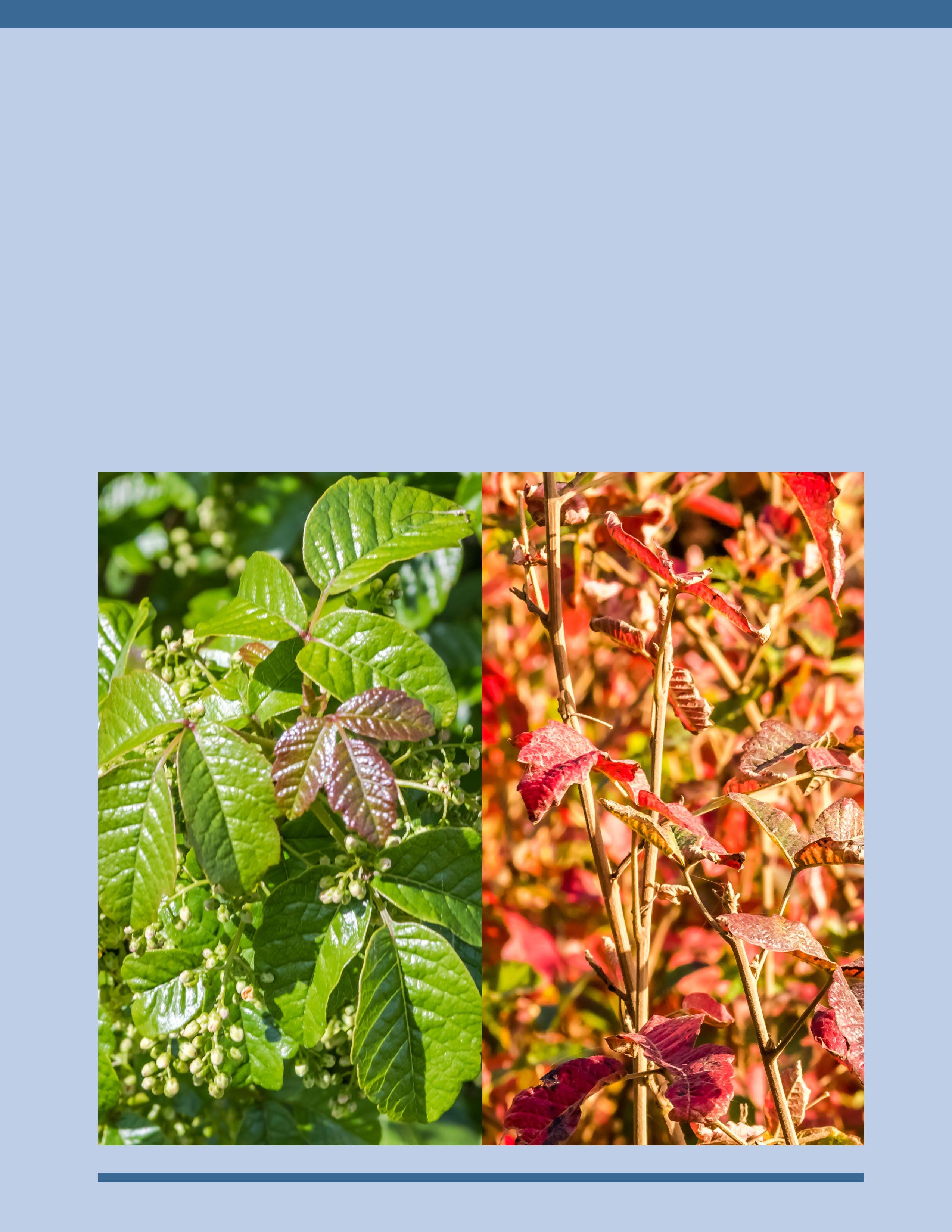 Poison Oak - Spring bright green
Poison Oak - Fall bright red leaves
Cell Signal is Limited and Intermittent.
Many areas of the Big Sur Coast do not have cell phone signal. It is important to not rely upon cell service, in planning your trip. Also realize that contacting emergency services can be problematic. (There is more consistent cell service around the main part of Big Sur near the Big Sur Station and the Pfeiffer Big Sur State Park.)
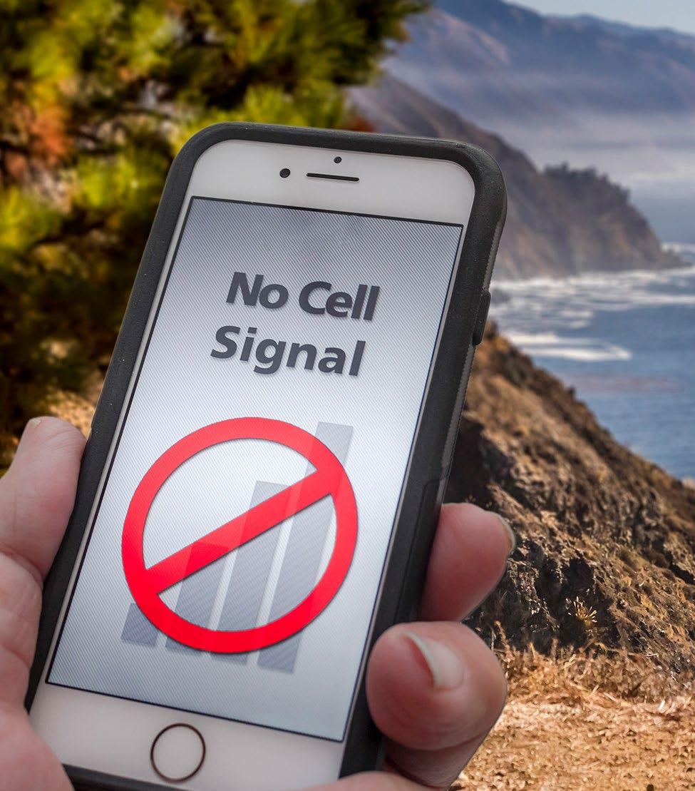
There are occasional spots where cell service reaches down the coast, depending on the service provider. If one sees a worker truck or delivery vehicle pulled over with person on the phone, it might be a good place to try for service.
T ry a place with a straight line of sight with the main Big Sur headland to the north. Reception is usually non-existent in little valleys or canyons.
Keep in mind that emergency services may not be close at hand. The coast is remote, and the road takes time to travel for emergency responders, just as others traveling the road.
Shore Safety - Beach or Rocky
Pay Attention to conditions. Stay aware of the surf conditions, waves and tide.
Never turn your back on the waves. Always face the waves and watch the waves.
Listen to the waves as well, rushing surf is louder, look at the waves, pay attention.
If the rocks are wet, then waves have likely covered those rocks recently - danger zone.
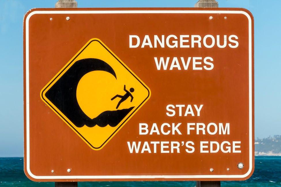
Do not try to run from a big wave on the rocks, one can be knocked off one’s feet. Hug the rock, until the water recedes. (Better drenched than swept into the surf.)
Wet sand, edged with flotsam or seaweed, with no footprints. This is likely how high the waves come up. They will likely come again.
The tide can come in, stranding one on rocks. Seaweed/growth covered rocks are in the tidal zone. Mind the tide and waves.
The waves/ocean can be unforgiving, no selfie or “pose for a photo” is worth dying for!
Keep in mind that on the coast, emergency responders can be many minutes away. With many “no cell service areas,” even calling for help can be an issue,
Order Now danieldanbom.com
Traffic and Signs
As one drives Highway 1 on the Big Sur Coast there are many warning signs to aid the unfamiliar driver with the road and road conditions. Watch for signs and warnings, they are marked to make one’s journey safer.
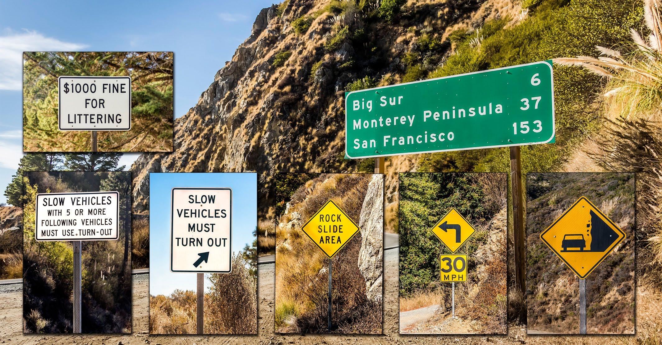
$1,000 Fine for Littering. This is a common sense reminder that throwing anything out of the car, or leaving trash, food containers, cigarette butts, along the highway is littering and subject to a $1,000 fine.
Slow or slower vehicles are required by law to use turnouts, or wide spots, to pull over and let faster traffic pass. This is the law, not a helpful suggestion. Do not hold up others, be courteous and pull over.

The coast is a dynamic ecosystem, and Highway 1 is perched on this changing landscape. Rocks, rock slides, mudslides, water on the roadway in rainy times, are all common occurrences. Drive carefully and alertly. Rocks fall onto the roadway from one minute to the next without warning. Approach blind corners with care, be prepared to stop.
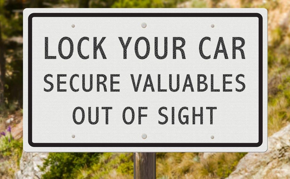
Lock your Car, secure all valuables out of sight. Many leave their vehicles with purses, cell phones, wallets and other valuables in plain sight. This is a temptation to the few who find an auto in a remote parking spot and do a “smash the window, and grab valuables.” Be safe, be aware. Hide your valuables!
 Graphic Illustration
The Big Sur Coast is a No Drone Zone except by special permit.
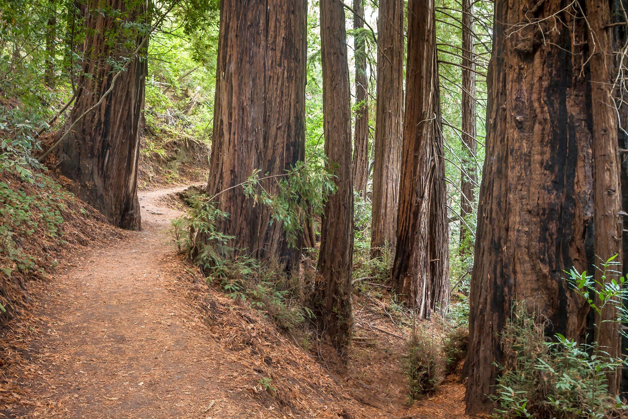
 Redwoods on the Buzzard’s Roost Trail, Pfeiffer Big Sur.
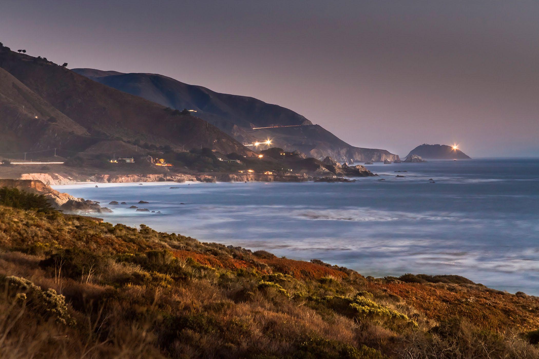
Garrapata looking south to Point Sur on the Big Sur Coast.
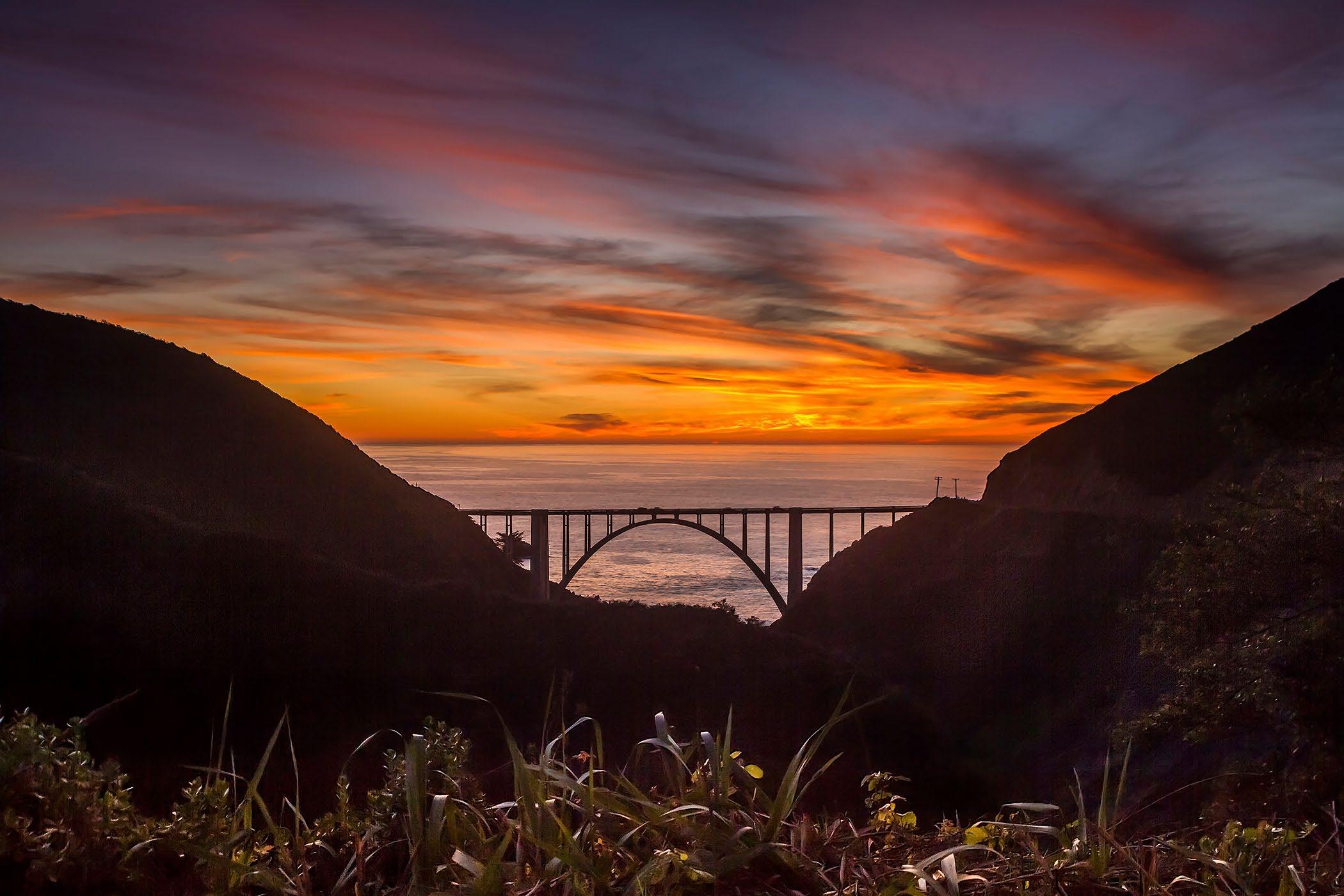
 Sunset at Bixby Bridge from the Old Coast Road, California highway 1.
Rocky Creek Bridge just south of Rocky Point.
Coastal Fog or Coastal Low Clouds? Neither brings summer rain, maybe a mist or drizzle.
About the Coastal Fog/Clouds
The weather often puzzles visitors to the Big Sur Coast. The summer coastal fog can be clouds in the 1,000’ to 3,000’ elevation, but are coastal non-rain clouds. The fog, can be more of a thick fog, down low over the ocean that creeps up the mountain slopes. It may mist or drizzle but hardly ever produces rain. The fog is often very hap hazard, moving in and out, from off the ocean. It can be very beautiful. Here one minute, and gone the next.
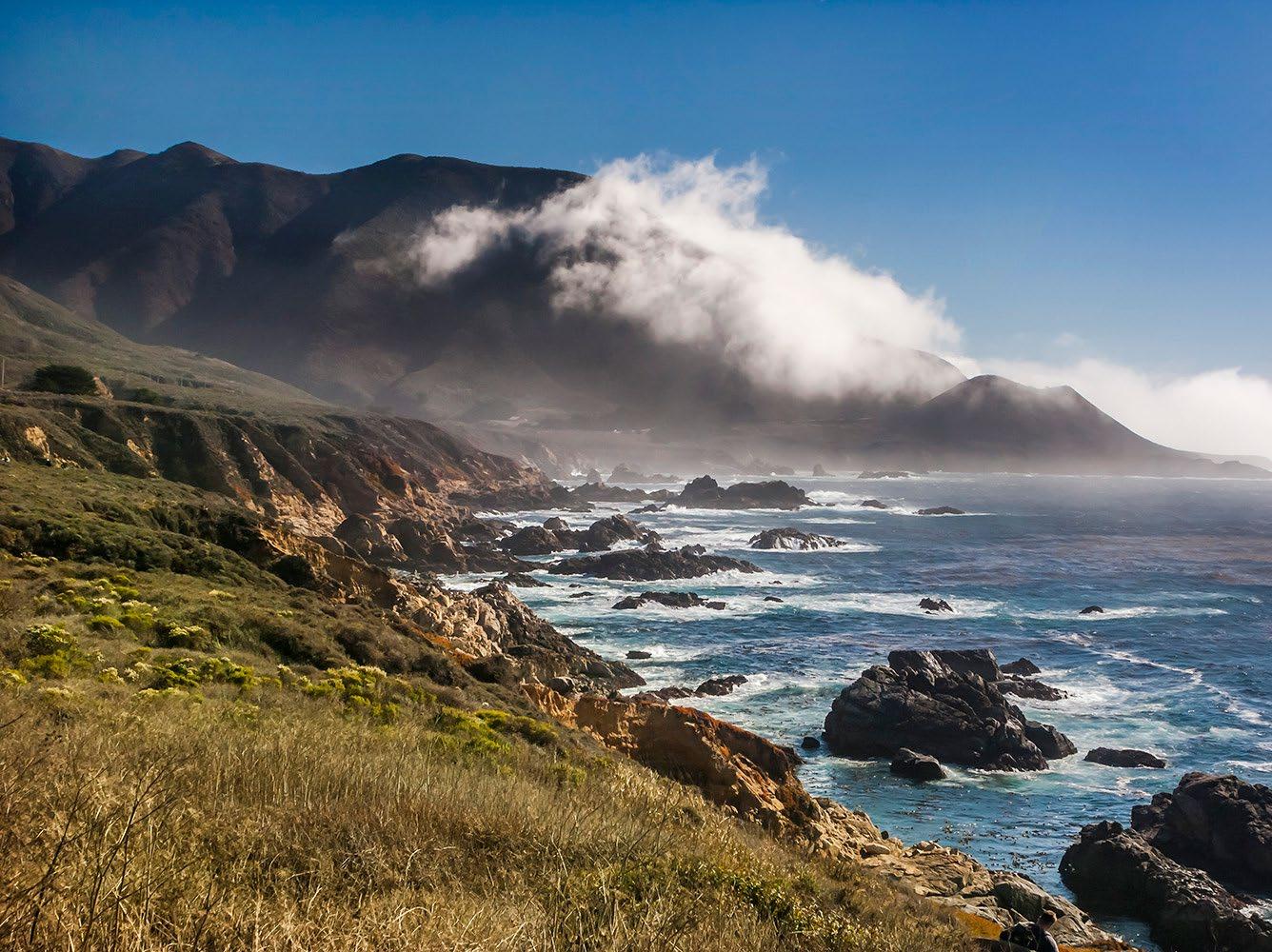
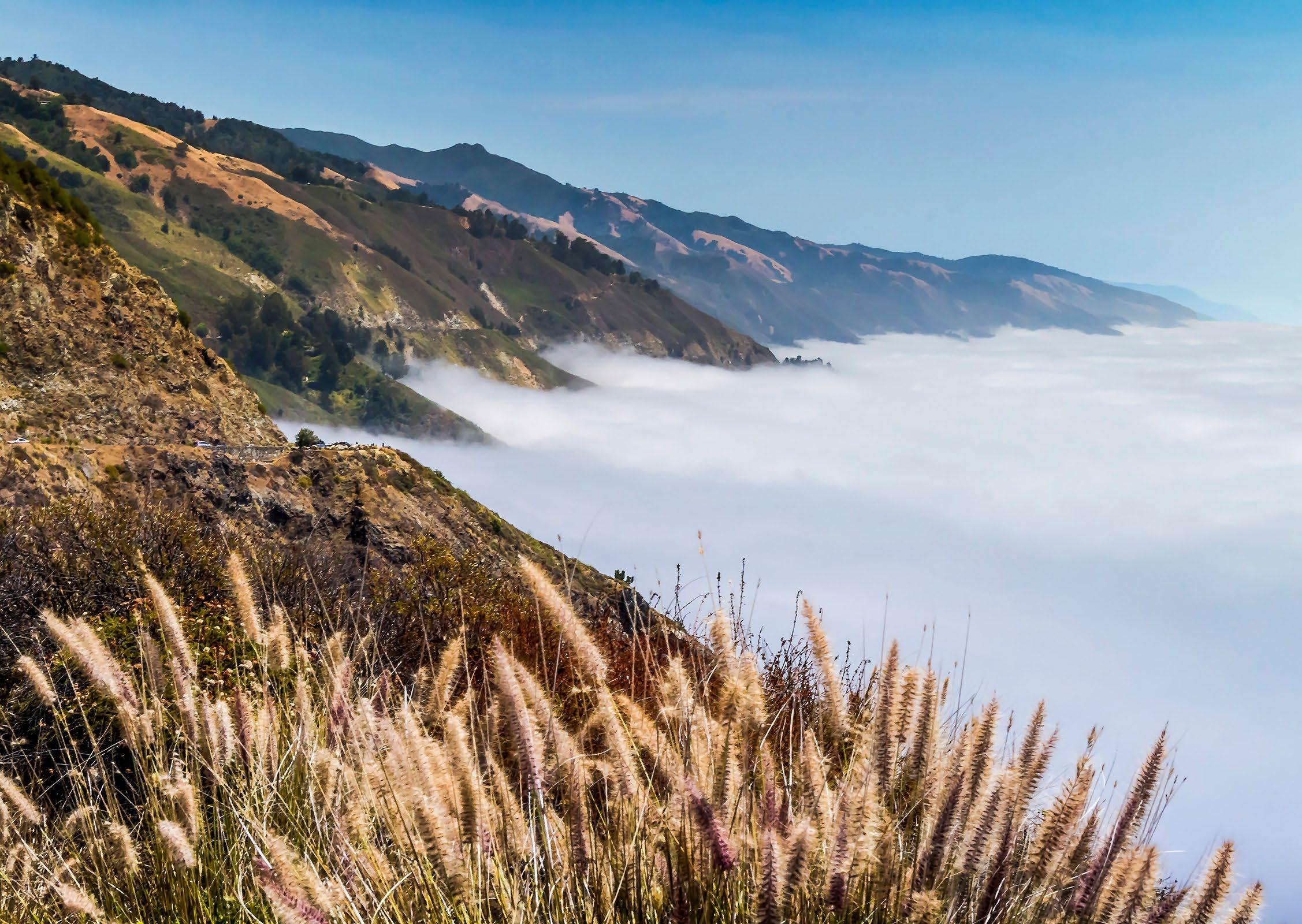 Coastal low clouds, fog creeping up the coastal range.
Coastal fog sweeps up Soberanes Point.
Low fog, misting around Point Sur Rock, always interesting and beautiful.
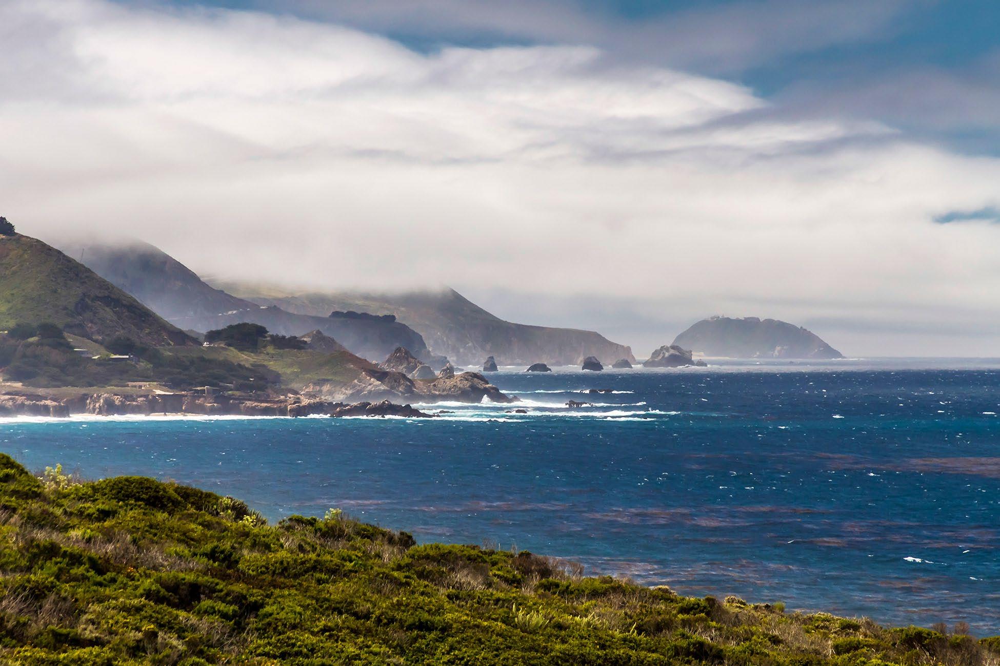
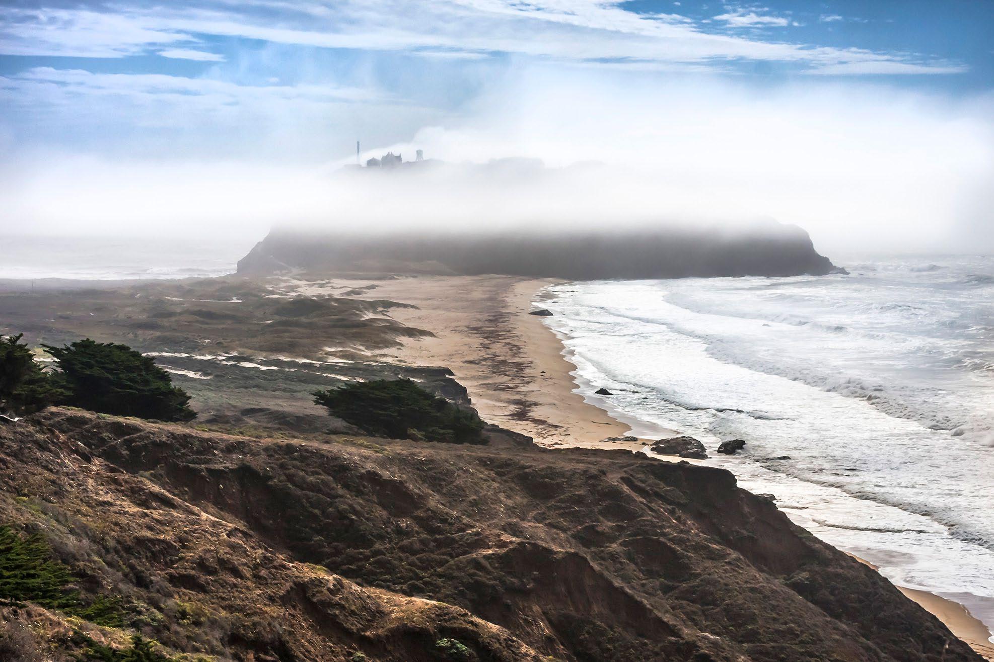
 Mid-level low clouds along the coast range, Point Sur in the distance.
Bixby Bridge is one of the iconic features of the Big Sur Coast. It is a really gorgeous span, at 360 long, and was opened in 1932. It has often been featured in auto commercials for many makers. There is limited parking, and no beach access.
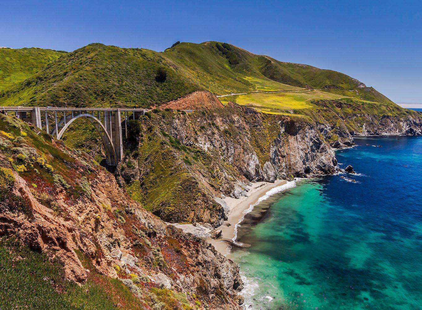
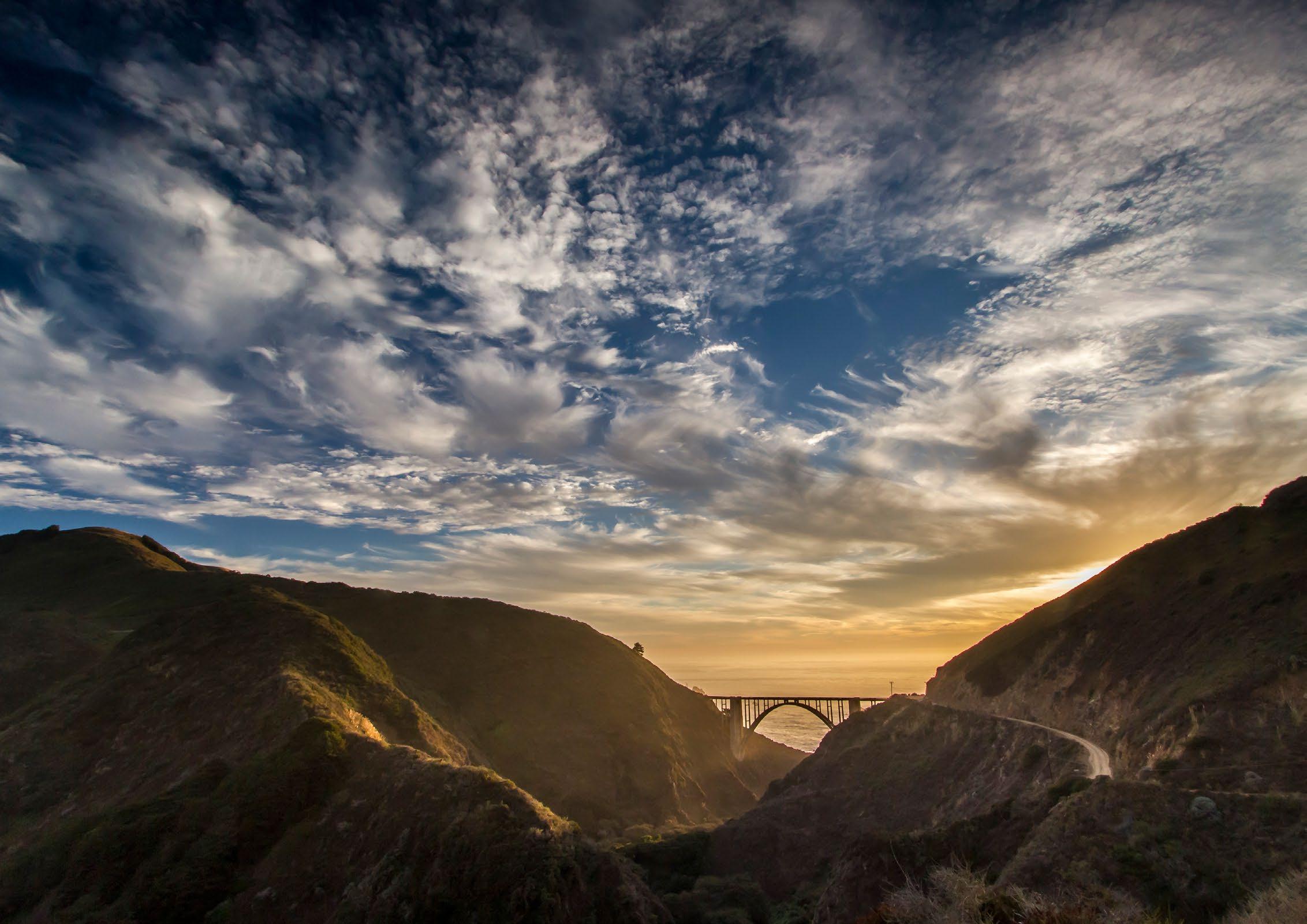
Parking must be out of the roadway, to the right of the white line. Traffic often comes to a stand still as people try to wait for a parking place. Do NOT block the roadway. Also, many tourists cross the highway, without watching for traffic. Be careful, be alert approaching this landmark. Parking can be restricted at certain times.
Each day and season brings a different view.
Bixby Bridge on the Big Sur Coast
Bixby Bridge Sunset from up the Old Coast Road.

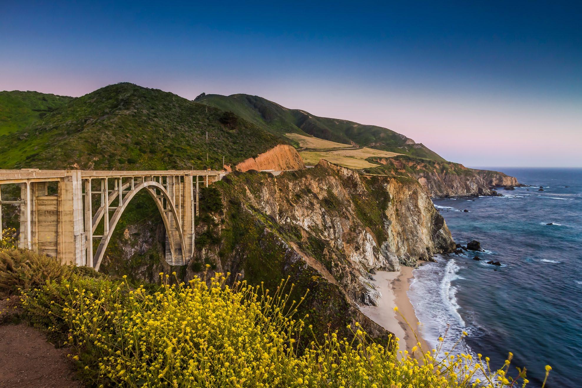
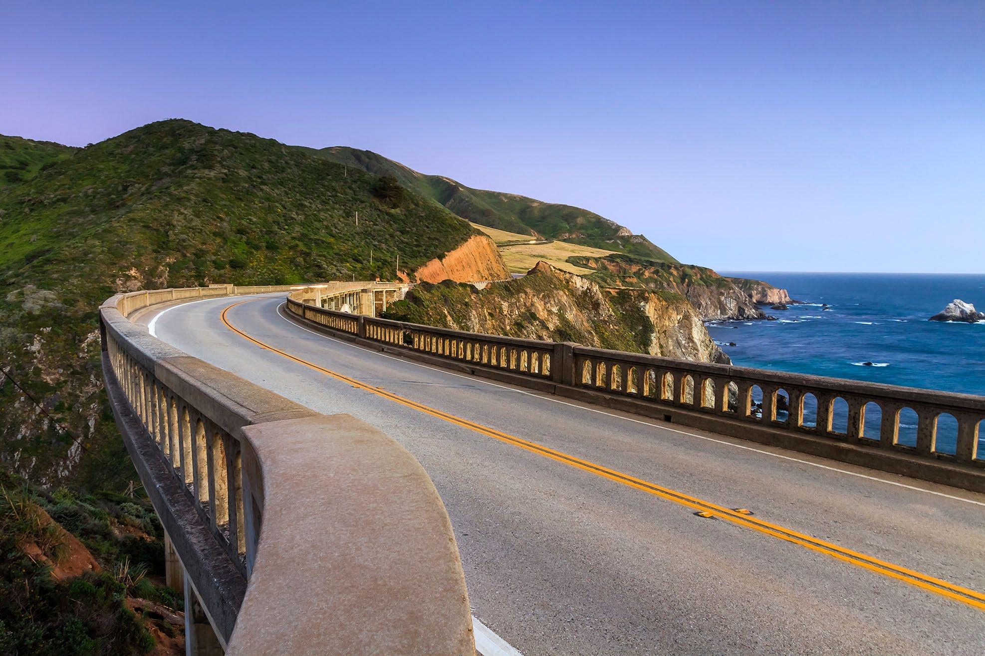 A familiar vista from the north side of the Bixby Canyon.
A view from the bridge looking south toward Hurricane Point.
McWay
Julia
State Park. McWay Falls is one of the most popular stops on the Big Sur Coast It is one of the most photographed places. The stream falls some 80 feet into the cove. There is no beach access, and climbing down is illegal. There is a fine for being on the beach, and for being rescued from off trail locations.
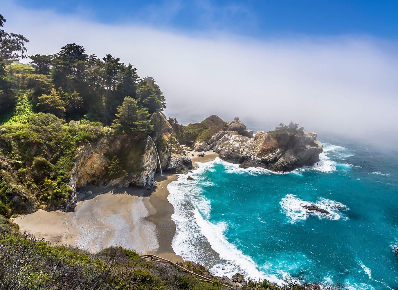
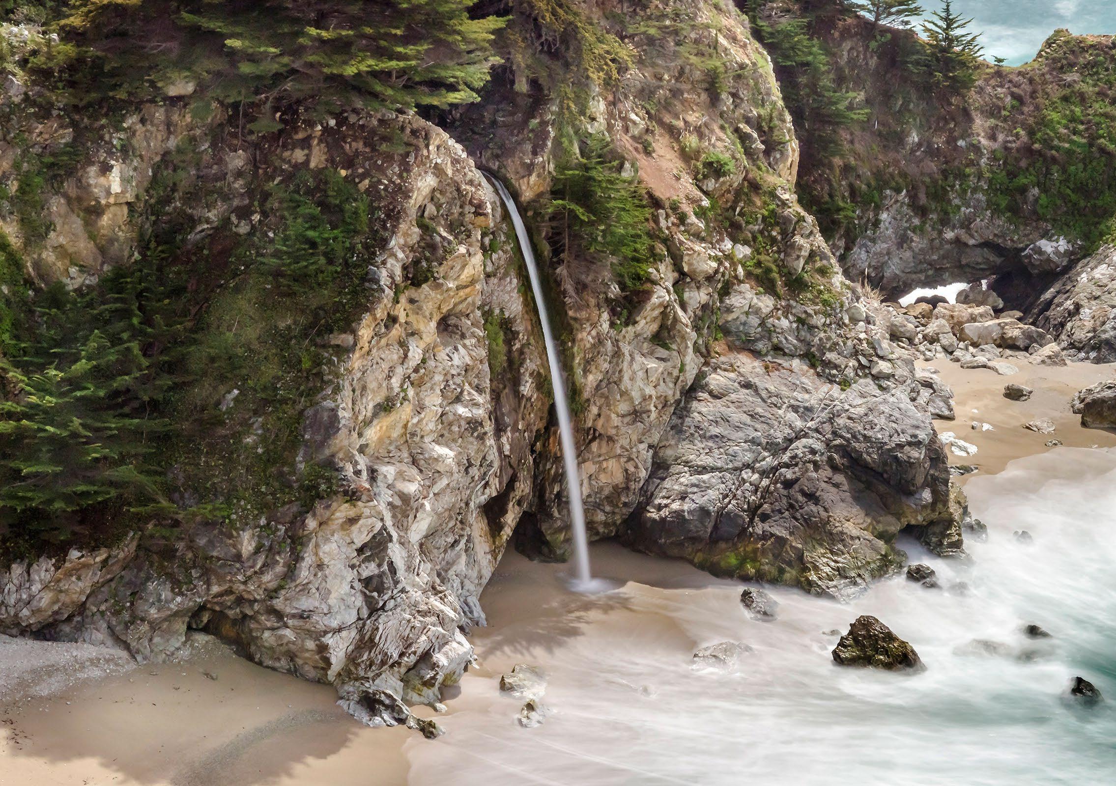
Parking is limited, be sure to park off the road, all wheels to the right of the white line. Watch for others parking, walking near or in the roadway. It is a beautiful sight, and worth seeing. Some of the area is closed from recent winter storms. Enjoy the falls with respect for those who come after you.
Each day and season brings a different view.
Falls at
Pfeiffer Burns
McWay Falls at Julia Pfeiffer Burns State Park.

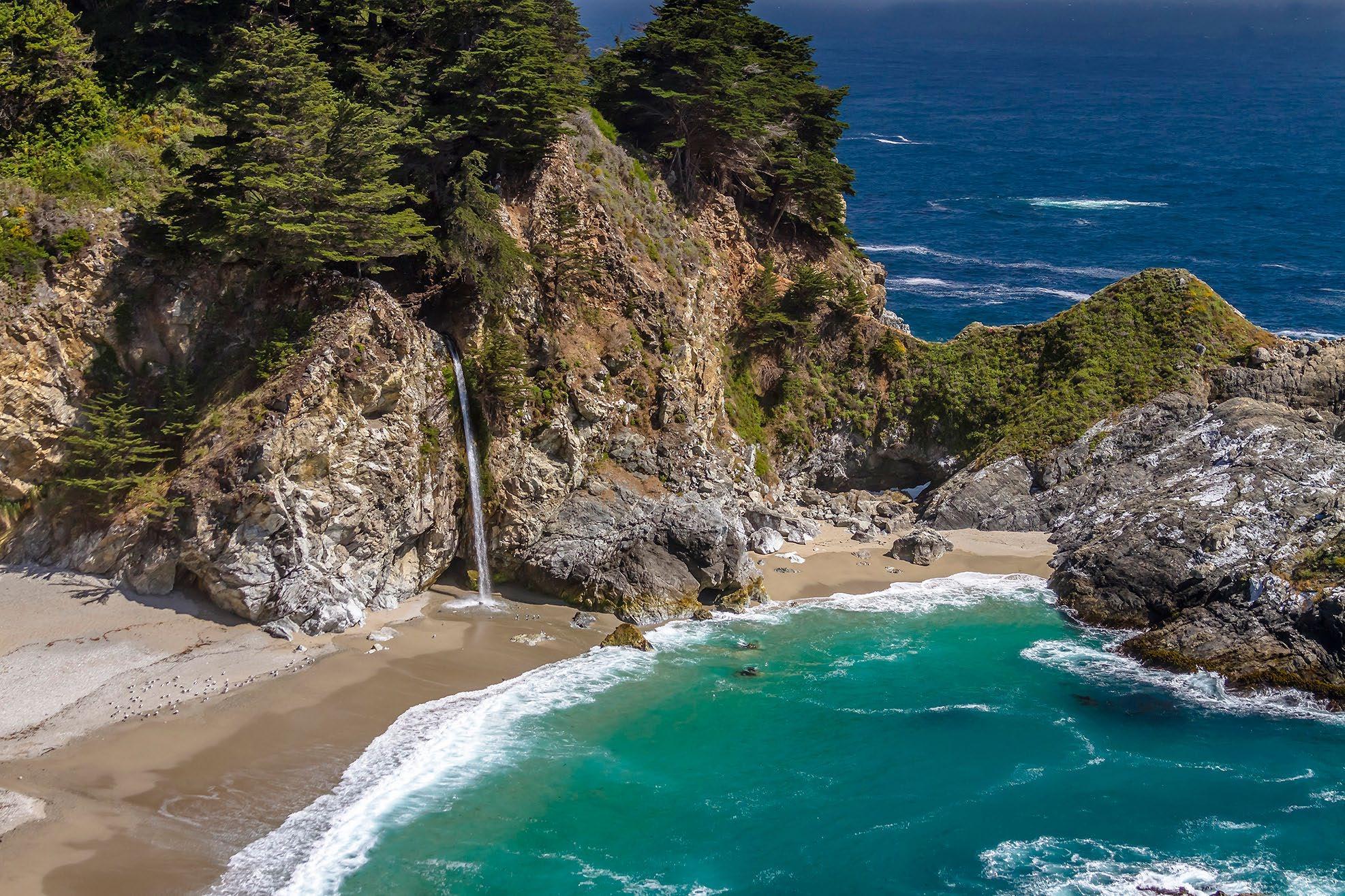
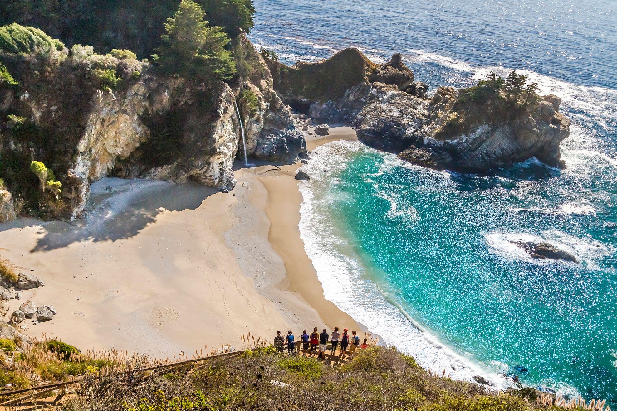 The aqua pool by the beach is alway a bit different color depending on the light.
This view is from the view area at the end of the vista trail, brings more context.
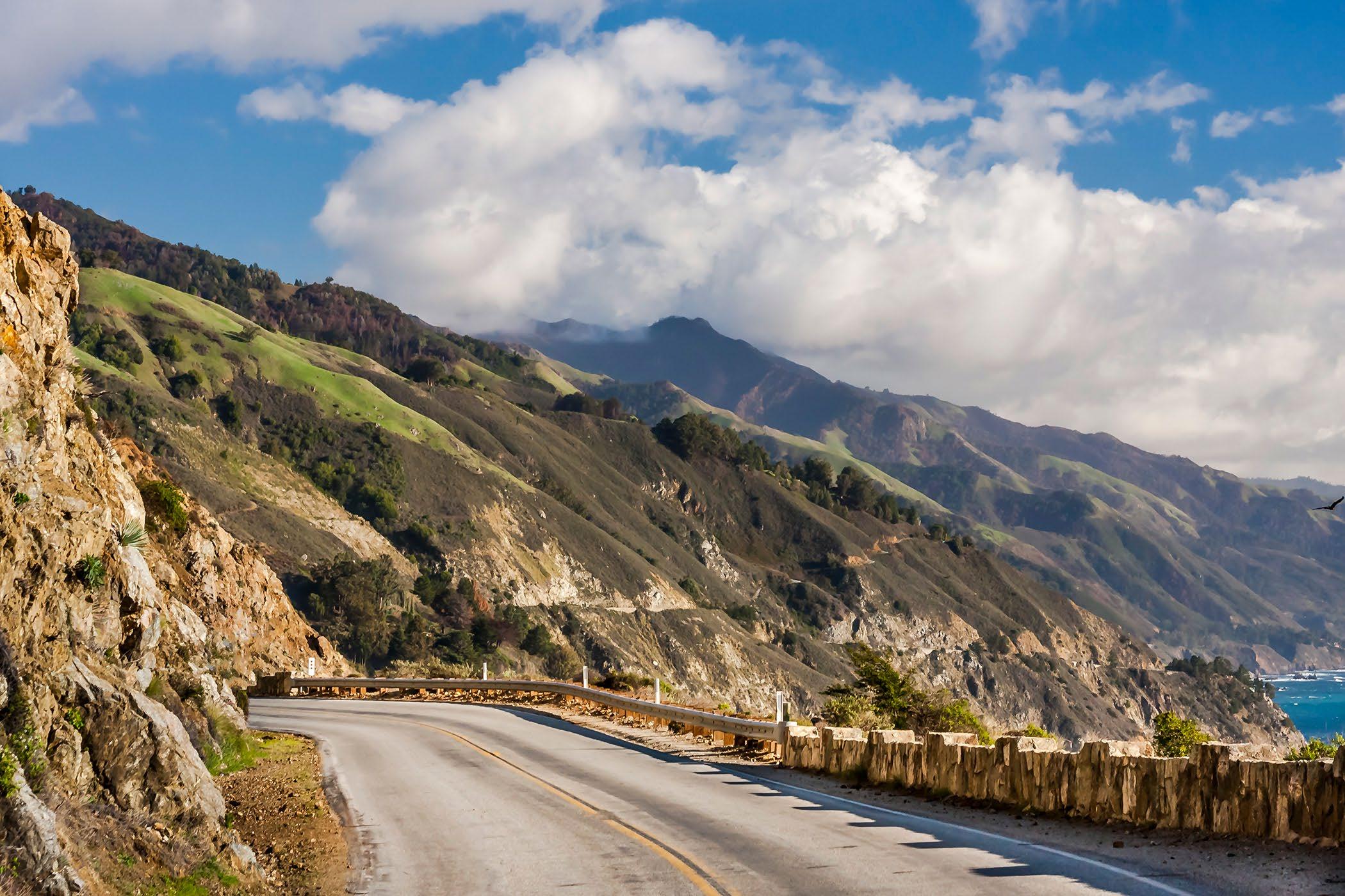
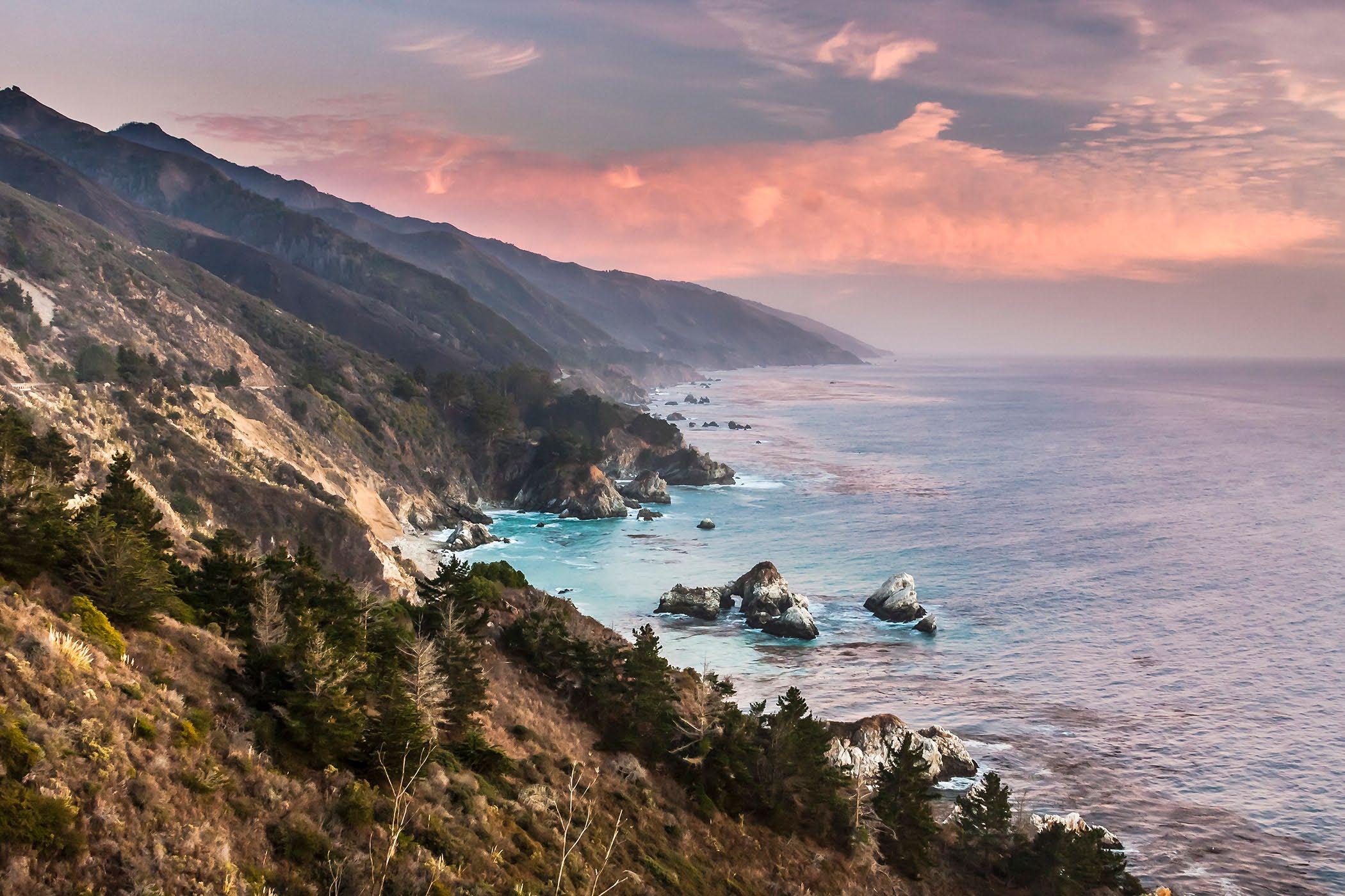 Near Grimes Point on the Big Sur Coast.
Late evening view from the Whale overlook scenic turnout.
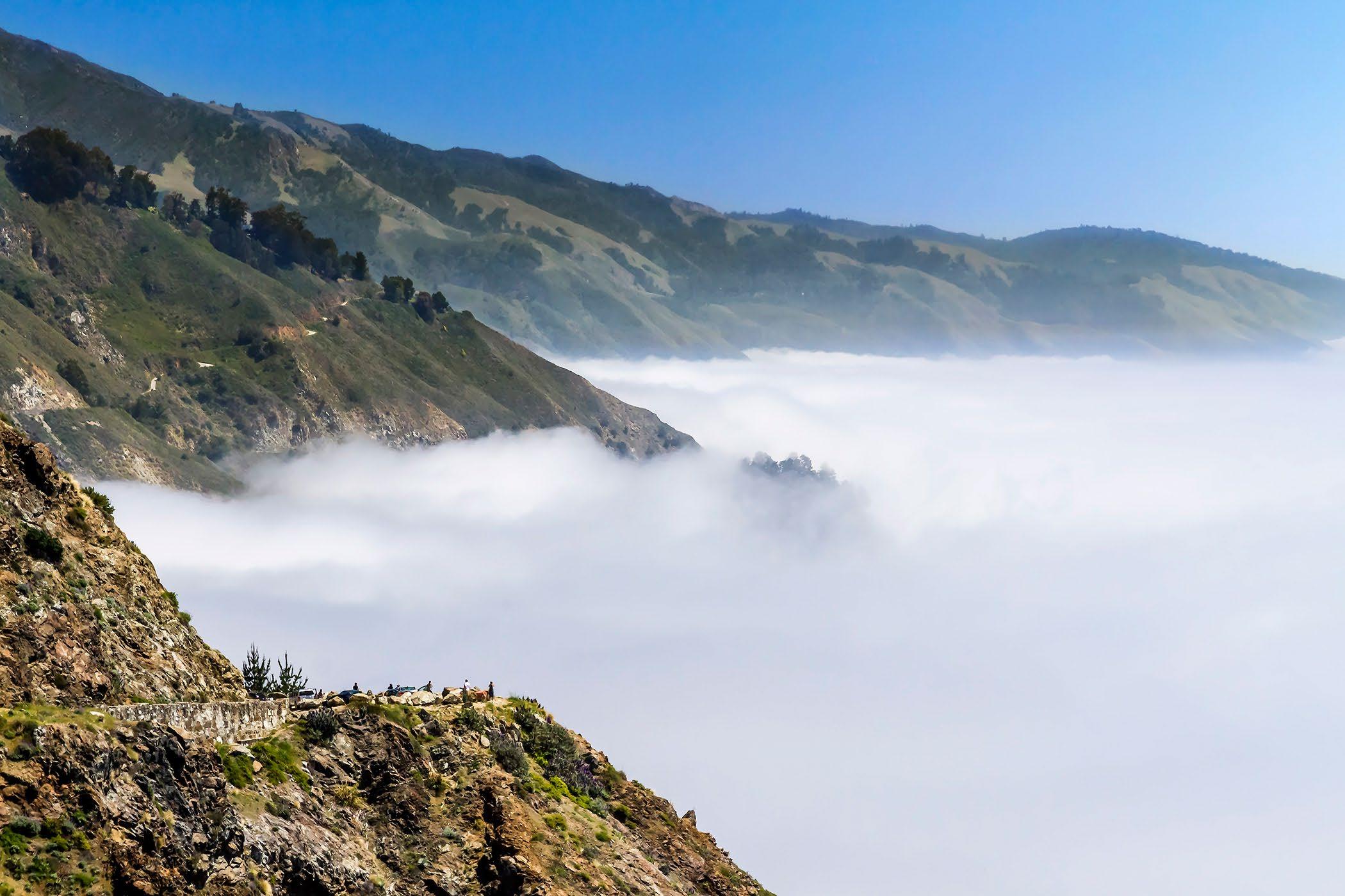
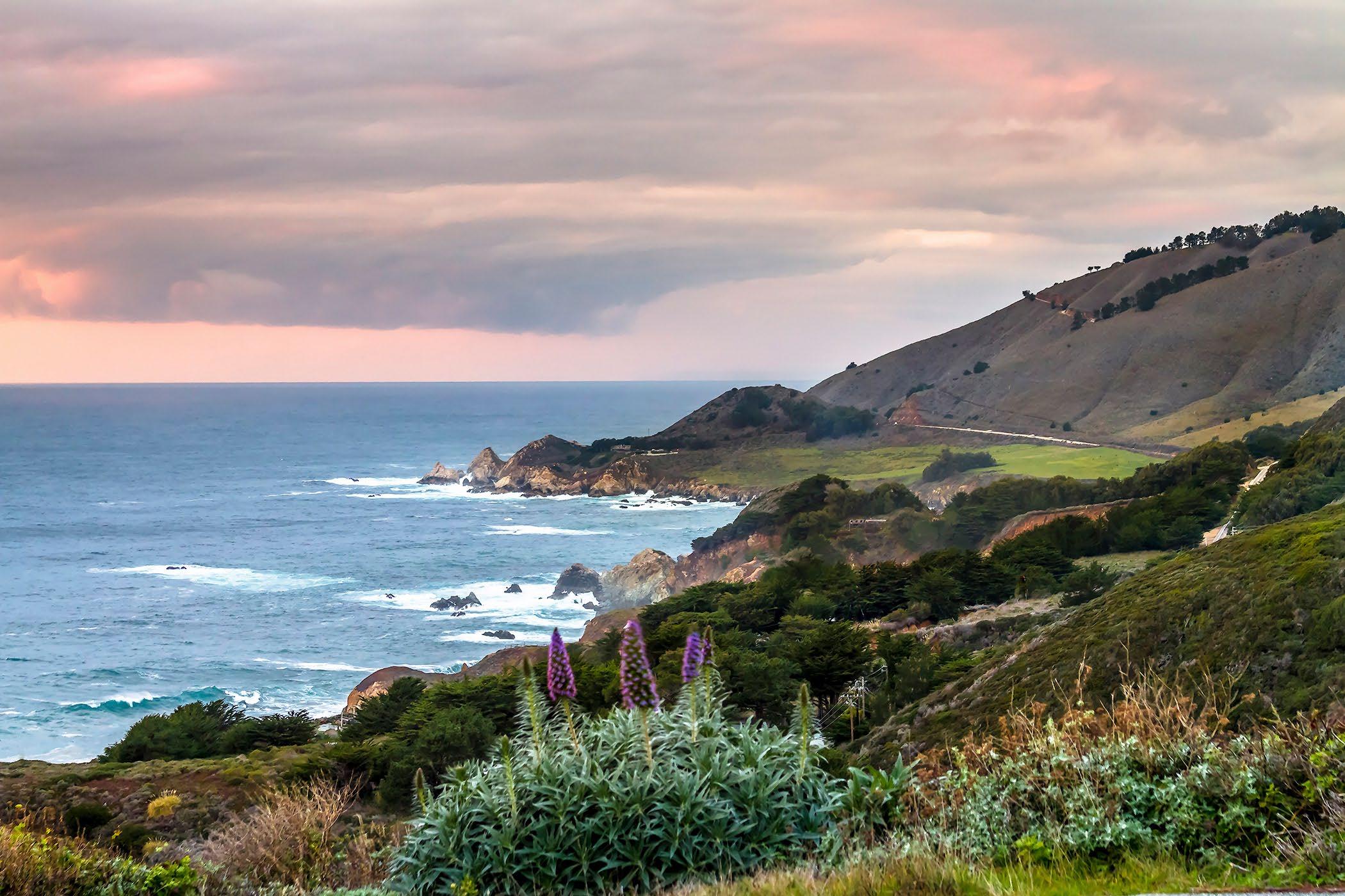 Low clouds, coastal fog, pulls in off the ocean on a summer day.
Late afternoon view of Rocky Point and Highway 1.
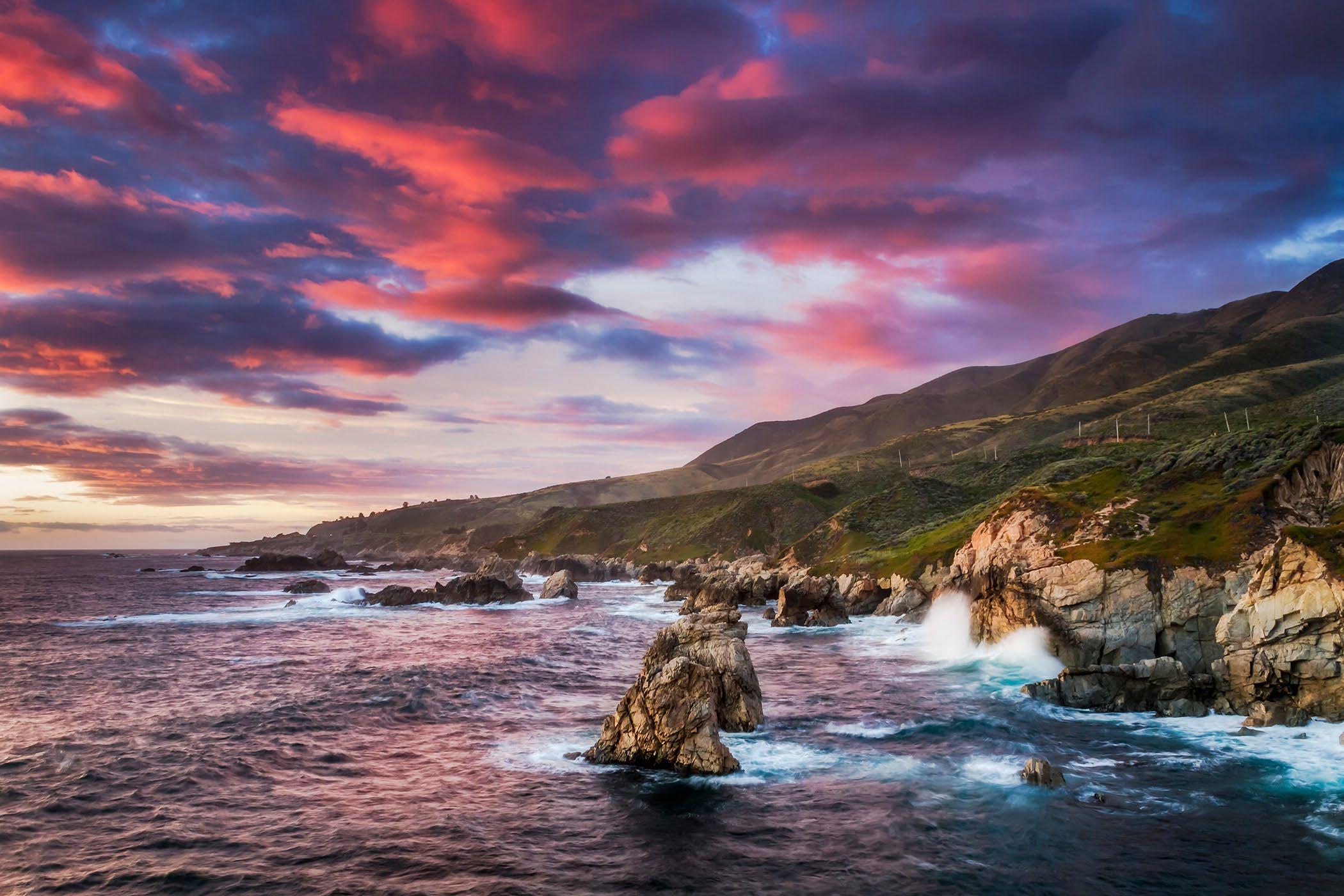
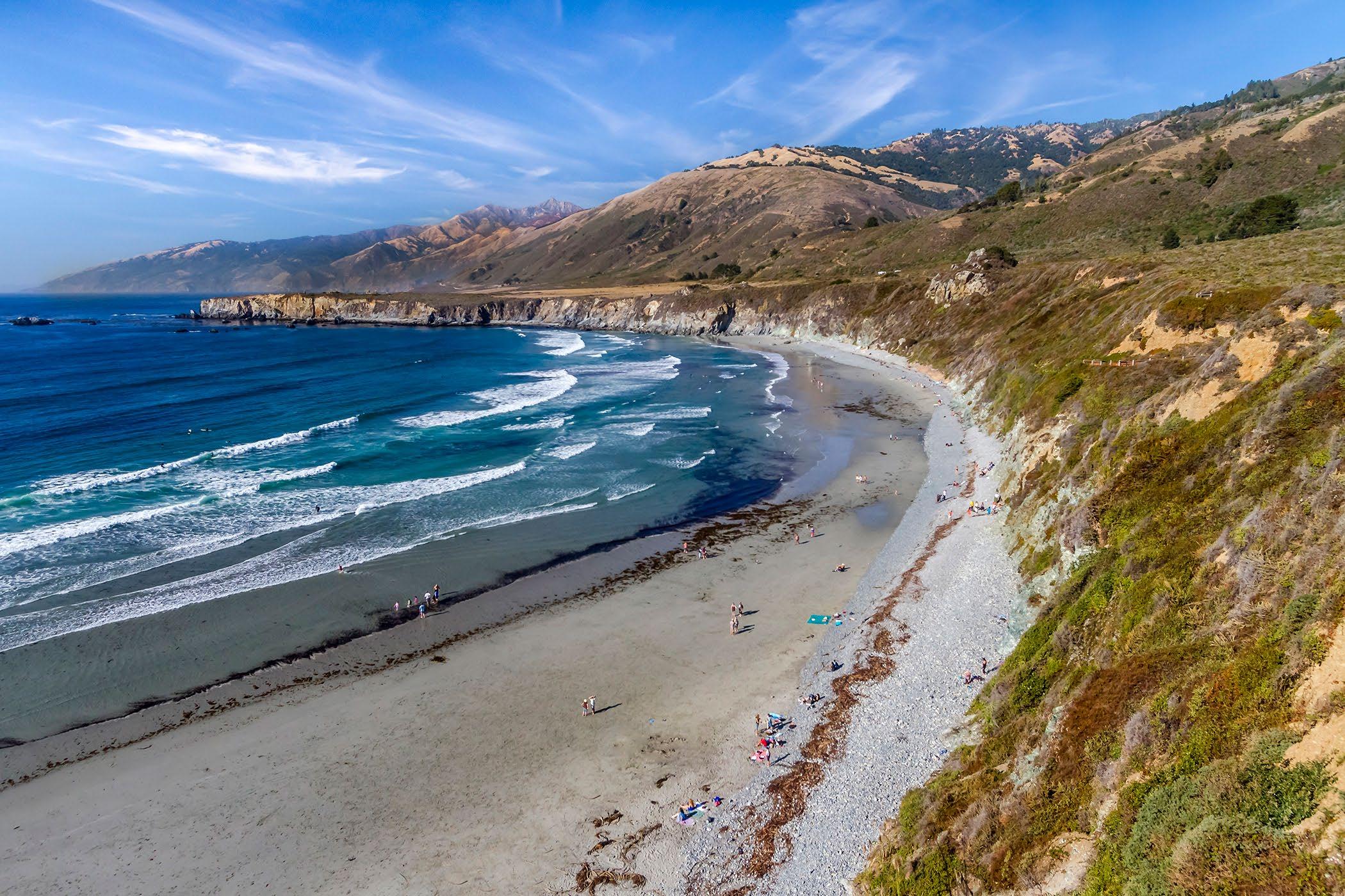 Just after sunset at Soberanes Point looking north.
Sand Dollar Beach on the south coast near Pacific Valley School.
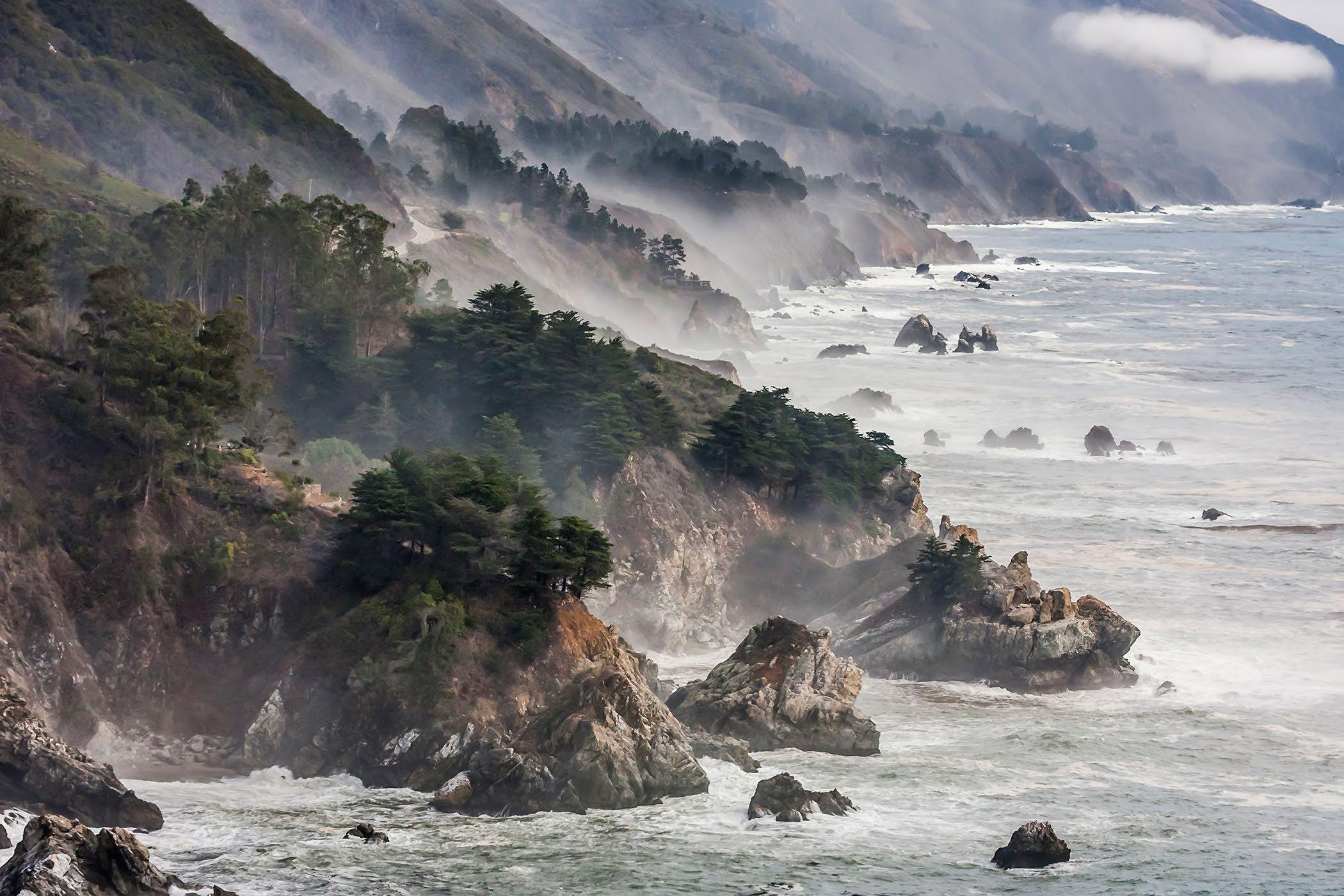
 The view from the Whale Turnout, overlook, Santa Lucia Range, California highway 1.
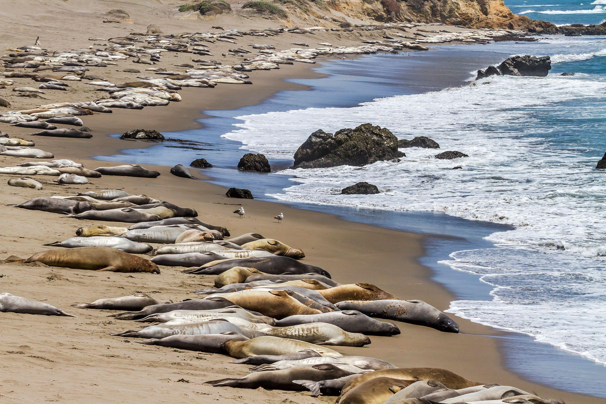
Elephant Seals resting and sunning themselves on the beach near Piedras Blancas.
Wildlife on the Big Sur Coast
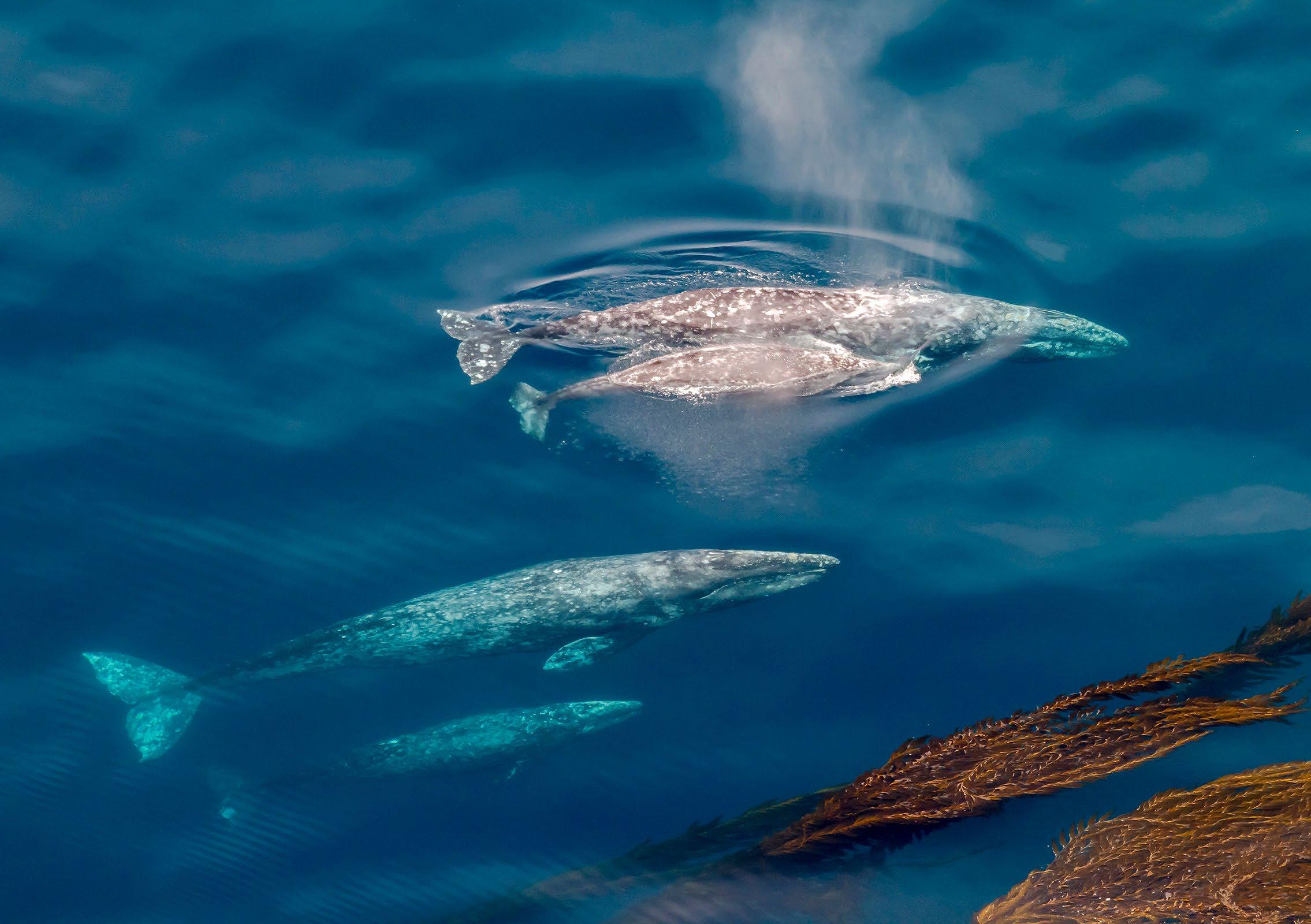
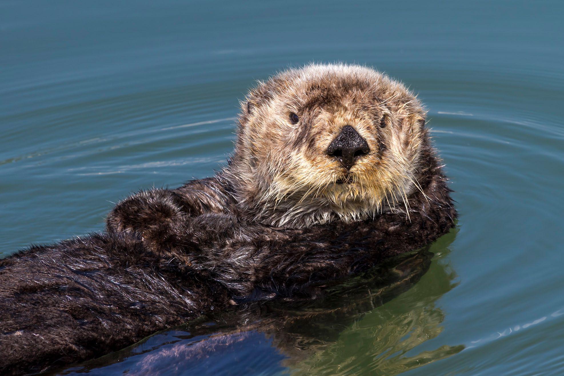
One might see a California Condor, Gray Whales, or Sea Otters, along the Big Sur Coast. The Gray whales migrate south in fall and then go north again in the spring.
The California Condor is endangered. There is a coastal flock, that frequents the coastal mountains. They are sometimes seen close to the highway or down on the shore. As scavengers Condors will feed on dead sea lions or other carrion.
The California Condors are a protected and endangered species. One should not approach the condors if they rest near the highway on the cliffs. One needs to keep a respectful distance.
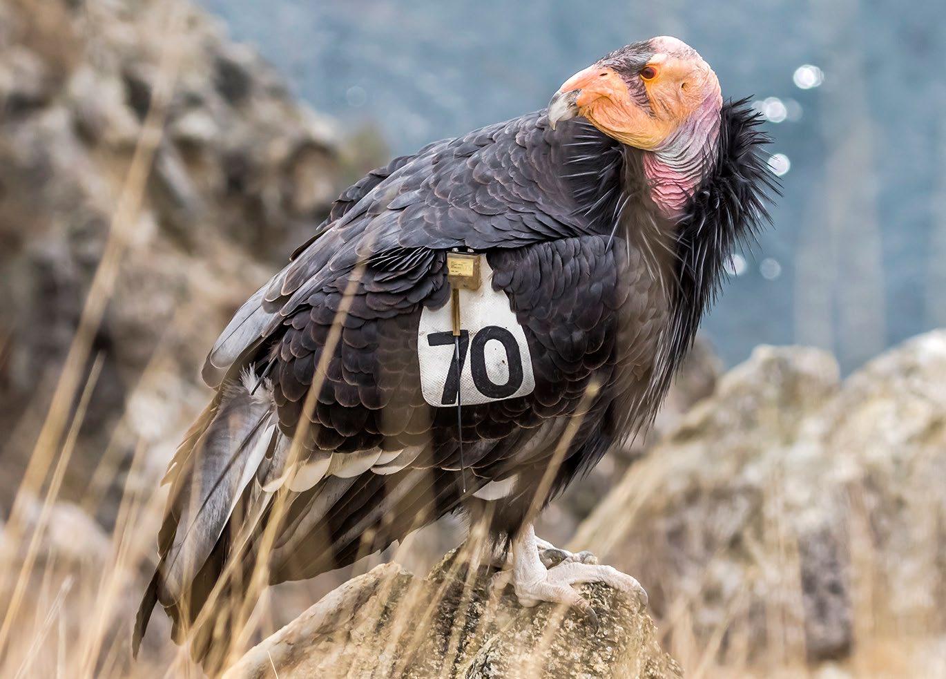 California Condor along the coast, (long telephoto lens.)
Two pairs of Gray Whales and Calves - No drone. Drone use is illegal on much of the coast.

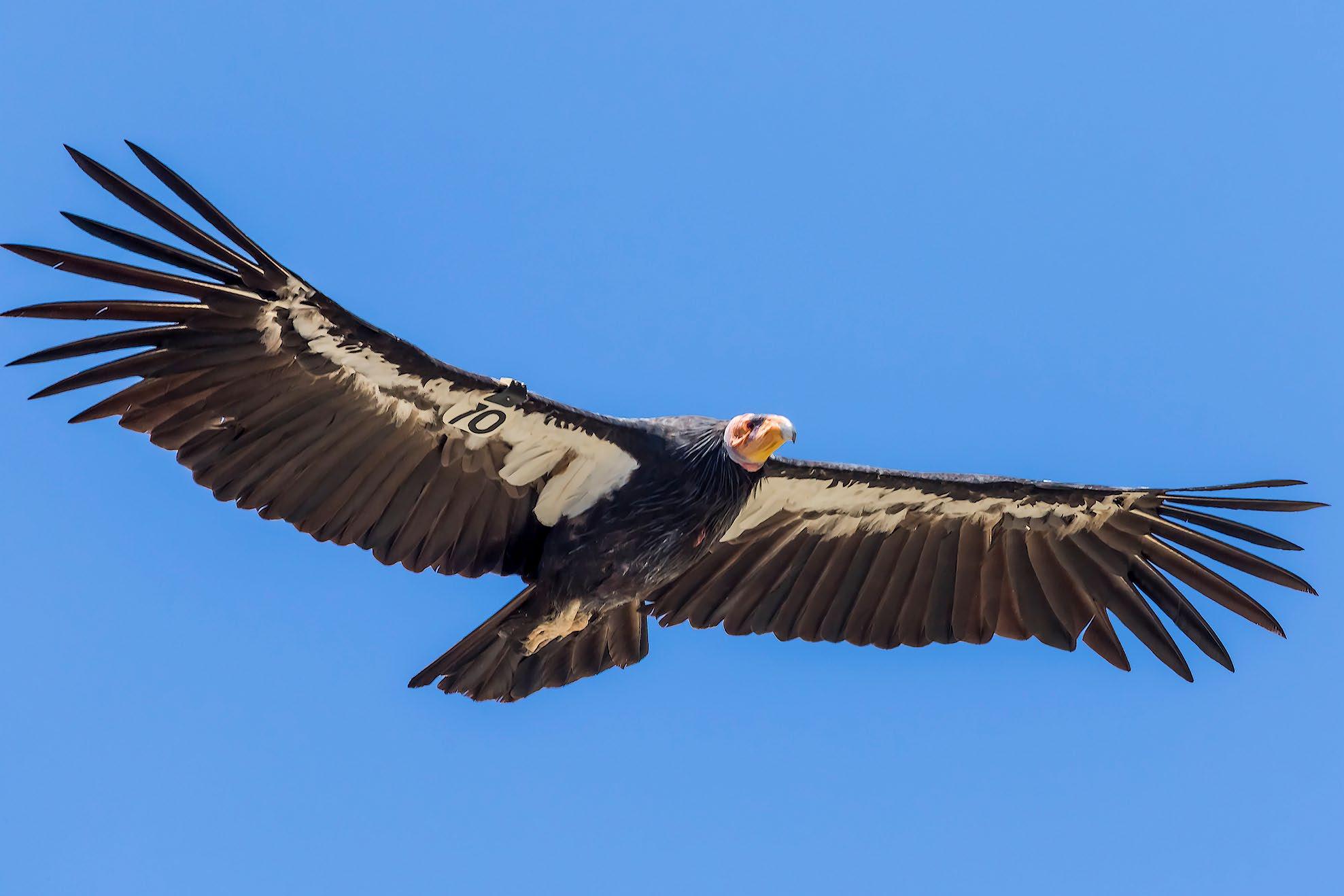
 California Condor #470, in flight along the Big Sur Coast.
Sea Otters are often seen along the coast.
California Condors on the Big Sur Coast
The condor is protected and endangered so keep your distance. Don’t approach a condor even if it lands near the highway.
There is the Big Sur coastal flock of Condors, that are often found along the coastal mountain range. They often fly along the updrafts and breezes along the Santa Lucia Range. Condors are scavengers, eating carrion, (dead things.) So, one might observe them on the coastal shore, rocky beaches, eating a dead Sea Lion carcass. There are about 70 Condors in the Coastal flock, between the Pinnacles National Monument flock and the Coastal range flock. They often fly at will between the two areas.
The Condor is protected and endangered, so one should keep their distance, and not approach one if it lands near the highway. They are often seen soaring on the breeze above the coastal range, or along the cliffs of Big Sur.
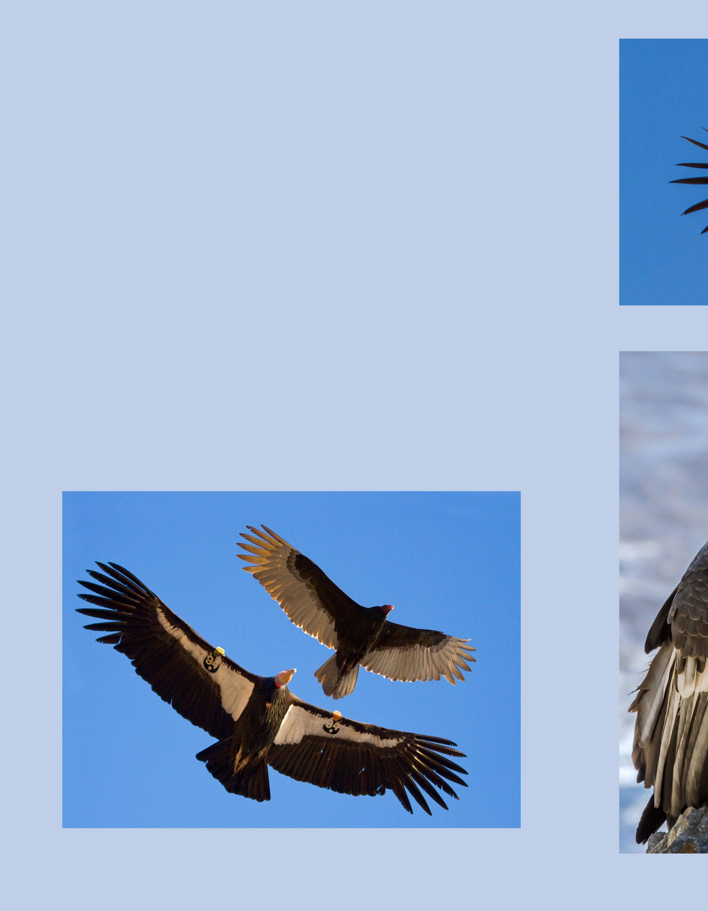
There are many Turkey Vultures along the coast as well. Turkey Vultures are smaller, and have different markings. Turkey Vultures are scavengers as well. Many often mistake the Turkey Vulture for a Condor. The Condors are tagged with numbers for identification. They have white markings under their wings, a larger head, and beak. Turkey Vultures have lightish wing tips, and smaller heads with a red beak.
Composite photo to show the relative size and markings of a Condor compaired with a Turkey Vulture. Note the Condor has a tag.
Condor #470
Condor #204
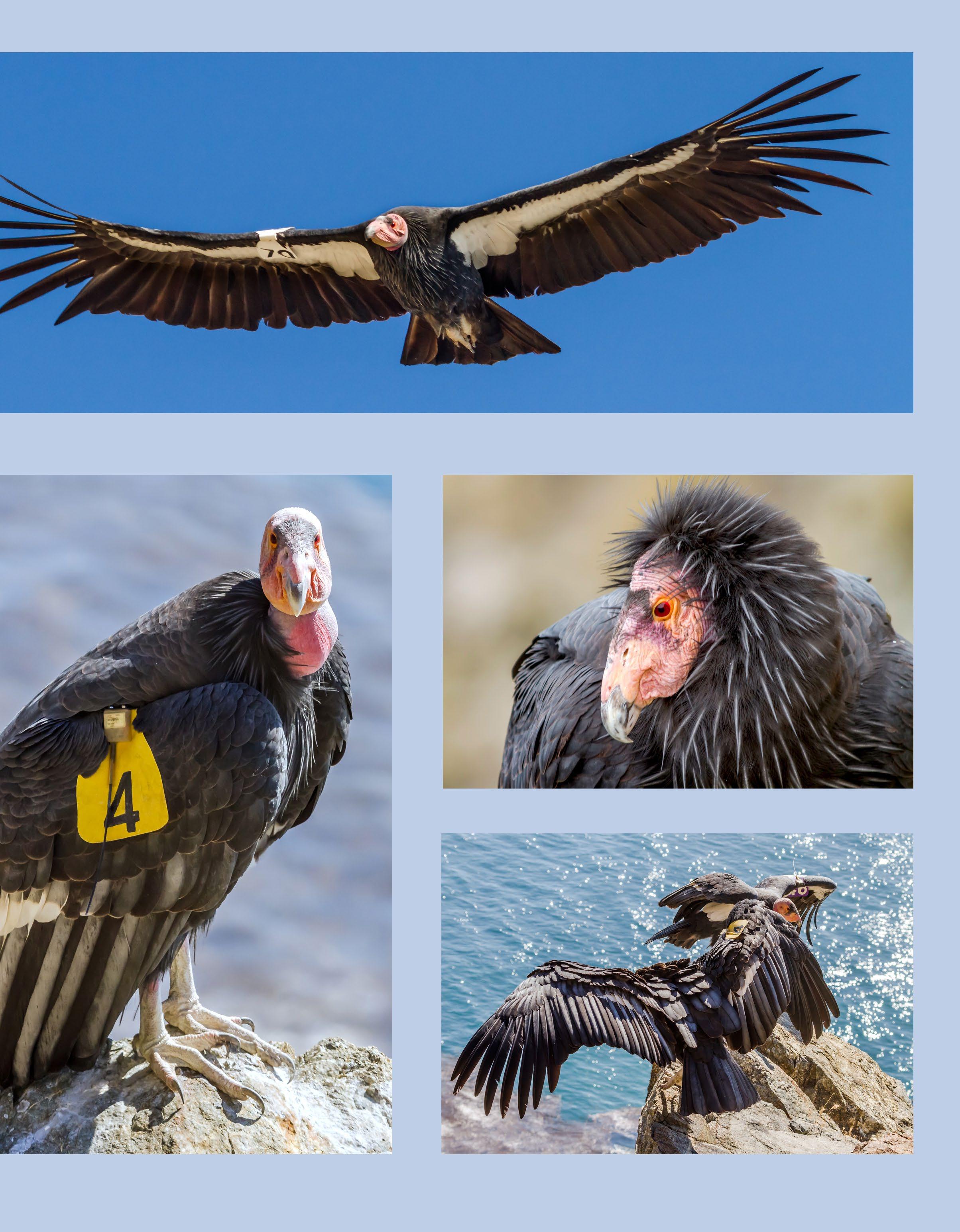 “Fuego” in flight.
“Amigo” on a rocky precipice.
Cell Signal is Limited and Intermittent.
Many areas of the Big Sur Coast do not have cell phone signal. It is important to not rely upon cell service, in planning your trip. Also realize that contacting emergency services can be problematic. (There is more consistent cell service around the main part of Big Sur near the Big Sur Station and the Pfeiffer Big Sur State Park.)

There are occasional spots reaches down the coast, depending on the service provider. If one sees a worker truck or delivery vehicle pulled over with person on the phone, it might be a good place to try for service.
T
the main Big Sur headland to the north. Reception is usually non-existent in little valleys or canyons.
Keep in mind that emergency services may not be close at hand. and the road takes time to travel for emer gency responders, just as others traveling the road.
Stay aware
Always rushing surf is louder, look at the waves, pay attention.
If the rocks are wet, then waves have likely on the rocks, one can be knocked off one’s feet. Hug the rock, until the water recedes. (Better with no footprints. This is likely how high the
stranding one on rocks.
The waves/ocean can be unforgiving, no selfie
Keep in mind that on the coast, emergency responders can be many minutes away. With many “no cell service areas,” even calling for
The view at Little Sur River, looking north toward Hurricane Point, Highway 1.
Overlook from Rocky Creek Bridge turnout, California Highway 1.
Traffic and Signs
As one drives Highway 1 on the Big Sur Coast there are many warning signs to aid the unfamiliar driver with the road and road condi tions. Watch for signs and warnings, they are marked to make one’s journey safer.

$1,000 Fine for Littering sense reminder that throwing anything out of the car, or leaving trash, food containers, cigarette butts, along the highway is and subject to a $1,000 fine.
Slow or slower vehicles to use turnouts, or wide spots, to pull over and let faster traffic pass. This is the law, not a helpful suggestion. Do not hold up others, be courteous and pull over.
The coast is a dynamic ecosystem, way 1 is perched on this changing landscape. Rocks, rock slides, mudslides, water on the roadway in rainy times, currences. Drive carefully and alertly. Rocks fall onto the roadway from one minute to the next without warning. Approach blind corners with care, be prepared to stop.
Lock your Car, secure all valuables out of sight. Many leave their vehicles with purses, cell phones, wallets and other valuables in plain sight. This is a temptation to the few who find an auto in a remote parking spot and do a “smash the window, and grab valuables.” Be
 Graphic Illustration
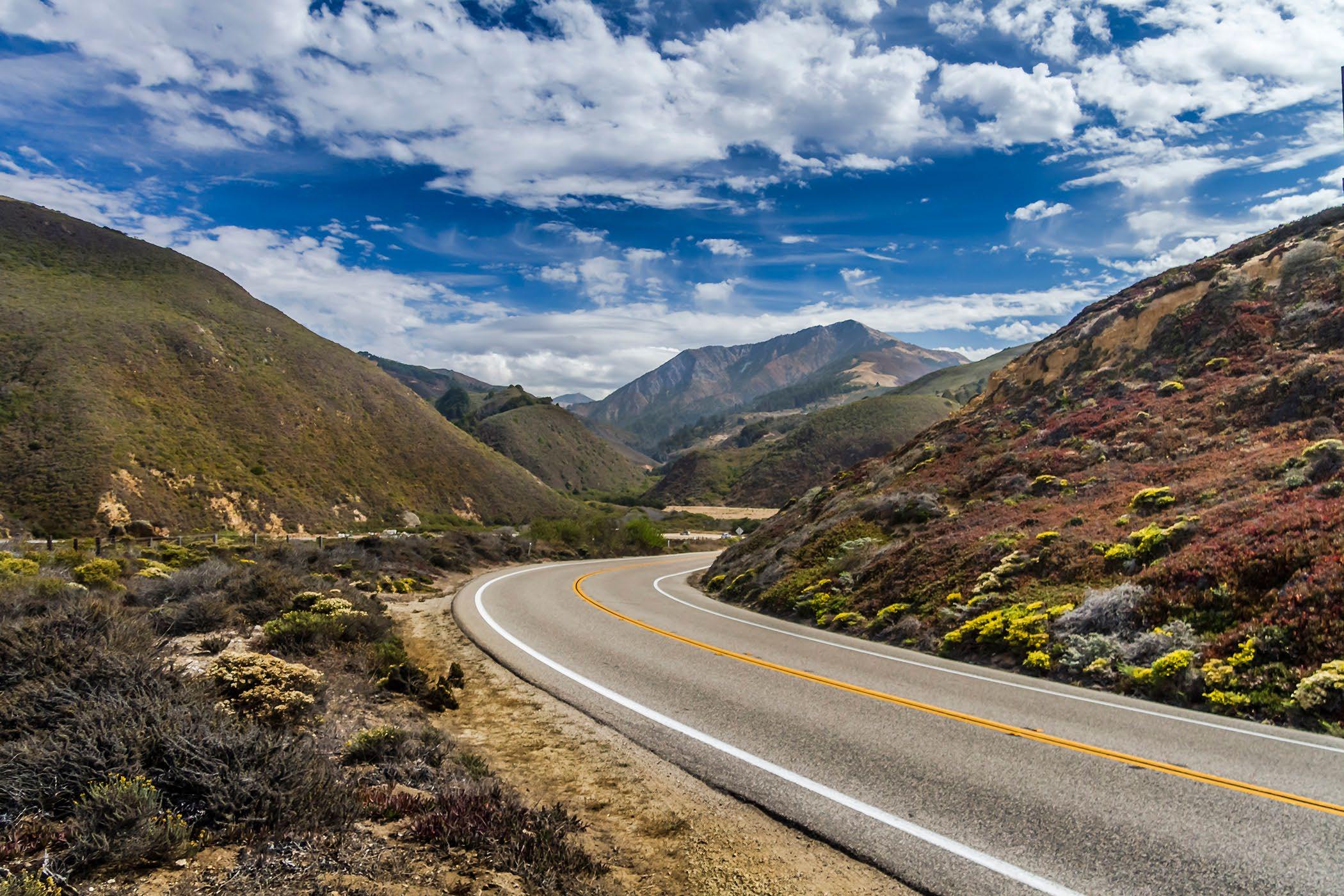
The view at Little Sur and the Santa Lucia Range, California highway 1.
Entering the Big Sur Valley from the north, Highway 1.
 Rock Shed HIghway
One near Limekiln Creek


 Photographer Daniel Danbom taking photos at Point Lobos.


 Point Sur on the Big Sur Coast of California.
Carmel Bay Sunset with Point Lobos in the distance.

 Redwoods in the Pfeiffer Big Sur State Park, Big Sur.
Garrapata Beach, along the Big Sur Coast.

 Garrapata Beach, in the distance along the Big Sur Coast.
Soberanes Cove along the Big Sur Coast.

 Big Creek Bridge on the south coast, Highway 1.
Rocky Creek Bridge, with the fog creeping over the hills.

 Bixby Bridge on the Big Sur Coast.
China Cove near Bird Rock in Point Lobos State Reserve.

 Rocky Creek Bridge on the Big Sur Coast.
The Rock Shed on Highway 1 near Limekiln Creek.

 The entrance to Pfeiffer Beach from the parking lot.
Pfeiffer Beach, Big Sur


 Big Sur River near the Waylans campground, Pfeiffer Big Sur State Park.
Looking north toward Lucia, on the south coast of Big Sur.

 Looking north to the Big Creek Bridge, on the south coast, Big Sur.
Limekiln Creek just south of Lucia, on the south coast of Big Sur.

 The View looking south from Grimes Point towards Partington Ridge and Point.
Huge waves at McWay Cove at Julia Pfeiffer Burns State Park.

 McWay Falls at Julia Pfeiffer Burns State Park.
The view from above the Whale turnout vista point, just north of McWay Falls.

 Above the Rock Shed, near Limekiln Creek, on the south coast.
The view looking north to Bixby Bridge from Hurricane Point

 Julia Pfeiffer Burns State Park overlook, view to the north.
The view from Rocky Creek toward Rocky Point on the Big Sur Coast.

 The fog hugs the coast, near Limekiln Creek, over the Rock shed south of Lucia.
Doud Creek with the Lilies, at Garrapata Beach, along Highway 1.

 A California Condor, #204 Amigo, comes in for a landing along the coastal cliffs.
Summer fog creeps along the coastal hills at Little Sur River, and Point Sur in the distance.

 Point Lobos State Natural Reserve on Highway One south of Carmel.
Limekiln Creek on the Big Sur Coast.

 Old Coast Road overlooking Andrew Molera State Park.
Storm Clouds over Bixby Bridge.

 Poison Oak - Spring bright green
Poison Oak - Fall bright red leaves


 Graphic Illustration
The Big Sur Coast is a No Drone Zone except by special permit.

 Redwoods on the Buzzard’s Roost Trail, Pfeiffer Big Sur.
Garrapata looking south to Point Sur on the Big Sur Coast.


 Coastal low clouds, fog creeping up the coastal range.
Coastal fog sweeps up Soberanes Point.


 Mid-level low clouds along the coast range, Point Sur in the distance.


 A familiar vista from the north side of the Bixby Canyon.
A view from the bridge looking south toward Hurricane Point.


 The aqua pool by the beach is alway a bit different color depending on the light.
This view is from the view area at the end of the vista trail, brings more context.

 Near Grimes Point on the Big Sur Coast.
Late evening view from the Whale overlook scenic turnout.

 Low clouds, coastal fog, pulls in off the ocean on a summer day.
Late afternoon view of Rocky Point and Highway 1.

 Just after sunset at Soberanes Point looking north.
Sand Dollar Beach on the south coast near Pacific Valley School.

 The view from the Whale Turnout, overlook, Santa Lucia Range, California highway 1.
Elephant Seals resting and sunning themselves on the beach near Piedras Blancas.

 California Condor along the coast, (long telephoto lens.)
Two pairs of Gray Whales and Calves - No drone. Drone use is illegal on much of the coast.


 California Condor #470, in flight along the Big Sur Coast.
Sea Otters are often seen along the coast.

 “Fuego” in flight.
“Amigo” on a rocky precipice.


 Rock Shed HIghway
One near Limekiln Creek