March 2026 - Issue #49
PULSE PUBLICATIONS P O Box 290066, Phelan, CA 92329-0066
PRSRT STD U.S. POSTAGE PAID Victorville, CA PERMIT #187
*************ECRWSSEDDM***** POSTAL CUSTOMER
SENIORS, VETERANS, FAMILIES, COMMUNITIES
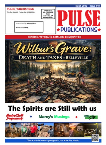
The Spirits are Still with us Senior Care Professionals
Marcy’s Musings
Stories inside
Check out the events going on in our area this month.
Life
Slice of