SIDE SHOTS November 2025
Professional Land Surveyors of Colorado
Volume 56, Issue 4
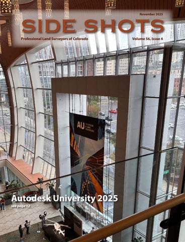
SIDE SHOTS SIDE SHOTS Autodesk University 2025 see page 12
SIDE SHOTS November 2025
Professional Land Surveyors of Colorado
Volume 56, Issue 4
SIDE SHOTS SIDE SHOTS Autodesk University 2025 see page 12