APN: 208-15-019K
WIRE FRAUD ALERT THINK DIFFERENTLY
Email-based, real estate fraud schemes are on the rise. One common scenario is altering wiring instructions with the intention of rerouting funds.
Keeping this in mind, First American Title is changing the way we receive payment information. It is imperative that we are familiar with the people in our transactions.
RELYING ON EMAIL ALONE IS NO LONGER AN OPTION.
Fraudsters often use email to send falsified wire instructions to unsuspecting victims. Please warn your buyers and sellers to only follow wire instructions they receive personally from First American Title.
Additionally, we will not accept disbursement instructions for seller or buyer funds via email OR from any third party (attorney, real estate agent, etc).
ALTERNATIVE INSTRUCTIONS?
If your buyer or seller receives alternative wiring instructions that appear to be from First American Title, make sure they contact their escrow officer at a trusted phone number for confirmation.
Know that our wiring instructions do not change so any communication is suspect. Our banking institution is First American Trust.
IN SHORT – wire instructions will not be accepted by email. New wire instructions must be hand-carried or uploaded to the First American Secure Portal.
Thank you for joining First American Title in fostering a secure real estate transaction process. Have questions or concerns? Please contact our office or your escrow officer.
LIMITATION OF LIABILITY FOR INFORMATIONAL REPORTS
IMPORTANT -- PLEASE READ CAREFULLY:
This report is not an insured product or service or a representation of the condition of title to real property. It is not an abstract, legal opinion, opinion of title, title insurance commitment or preliminary report, or any form of Title Insurance or Guaranty. This report is issued exclusively for the benefit of the Applicant therefor and may not be used or relied upon by any other person. This report may not be reproduced in any manner without First Americans prior written consent. First American does not represent or warrant that the information herein is complete or free from error, and the information herein is provided without any warranties of any kind, as-is, and with all faults. As a material part of the consideration given in exchange for the issuance of this report, recipient agrees that First Americans sole liability for any loss or damage caused by an error or omission due to inaccurate information or negligence in preparing this report shall be limited to the fee charged for the report. Recipient accepts this report with this limitation and agrees that First American would not have issued this report but for the limitation of liability described above. First American makes no representation or warranty as to the legality or propriety of recipient's use of the information herein.

Disclaimer
This REiSource report is provided "as is" without warranty of any kind, either express or implied, including without limitations any warrantees of merchantability or fitness for a particular purpose. There is no representation of warranty that this information is complete or free from error, and the provider does not assume, and expressly disclaims, any liability to any person or entity for loss or damage caused by errors or omissions in this REiSource report without a title insurance policy.
The information contained in the REiSource report is delivered from your Title Company, who reminds you that you have the right as a consumer to compare fees and serviced levels for Title, Escrow, and all other services associated with property ownership, and to select providers accordingly. Your home is the largest investment you will make in your lifetime and you should demand the very best.
Subject Property : AZ
Owner Information
Owner Name : City Of Tucson
Location Information
Legal Description : W2 Exc Ptn Sw4 Sw4 & Exc Tri Ptn Ne4 Nw4 312.14 Ac Sec 27-11-10 (formerly 201-13-019k)
County : Pima, Az
Township-Range- Sect : 11S-10E-27
Market Area : 412
APN : 208-15-019K
Last Market Sale Information
Recording/Sale Date : 01/14/1976
Document # : 5184-288
Property Information Land Use : Municipal Property
Tax Information
Map Reference : 27-11S-10E
School District : Marana
Munic/Township : Marana
Deed Type : Deed (reg)
No street map for selected property.
Census Tract / block: Year: 2020
Ata ikpr,Bnorde
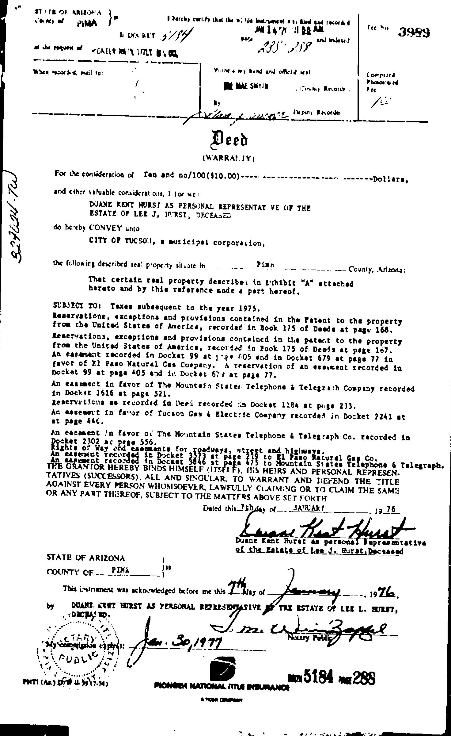
Deed
(W'ARRA! Y)
For the consideration of Ten and no/100($10.00)and cther valuable considerations, I (or we DUANE KENT HURST AS PERSONAL REPRESENTAT VE OF THE ESTATE OP LEZ J. IMURST, DECEASED do he'eby CONVEYunto CITY OF TUCSO1, amuricipal corporalion, the followirg described real property situate in. P
That certain real property describe, in Echibie "A" attached hereto and by this reference zade a part hereof.
SUBJECT TO: Taxes subsequent to the year 1975. Reservationr, exceptions and provisions contained in the Patent to
Compured PhotosslN Fee
--Dollars,
County, Arizona: the property fros the United States of America, recorded in Book 175 of Deeds at pass 168.
Reservations, exceptions and provisions containcd in the patert to the property from the United StatesofAmerica, recorded in 2ook 175 of Deeis at page 167.
An earement recorded in Docket 99 at 1t 405 and in Docket 679 at page 77 in favor of El Paso Natural Gas Company. hreservation of an essiment recorded n Docket 99 at page 405 and in Docket 64atr page 77.
An easment in favor of The Mountein Stater Telephone&Telegrach Company recorded in Docket 1516 at page 521.
Zeservations as recorded inDeei recorded in Docket 1124 at prige 233.
An earement in favor of Tucson Gas&Electric Company recorded in Docket 2241 at at page 44t.
An eacesent In favor or The Mountain States Telephone&Telegraph Co. recorded in Docket 2302 ar pega 556.
Righte of Way and esements for roadways,
easexnt in Docket tpae21 to E1 Pano Natural Gas Co. THEGRANTORHEREBYBINDS HIMSELF(ITSELF), INS HEIRS AND PERSONAL REZRESEN. TATIVES (SUCCESSORS), ALL ANDSINGULAR, TO WARRANT AND DEYEND THE TITLE AGAINSTEVERY PERSONWHOMSOEVER, LAWFULLY CLAIMING ORTOCLAIM THESAME ORANYPARTTHEREOF, SUBJECTTOTHEMATIFRSABOVE SETFORTH
An earent recorded in Docket 3846 st pate475 to Mountain States Telaphone &Telegraph.
Dated this 7thdey JANUAR 19 76
Duane Kent Huret as personal Hepresantative ofthe Latate of Lee J. Burst,Decsased
STATE OFARIZONA
COUNTY OF PINA
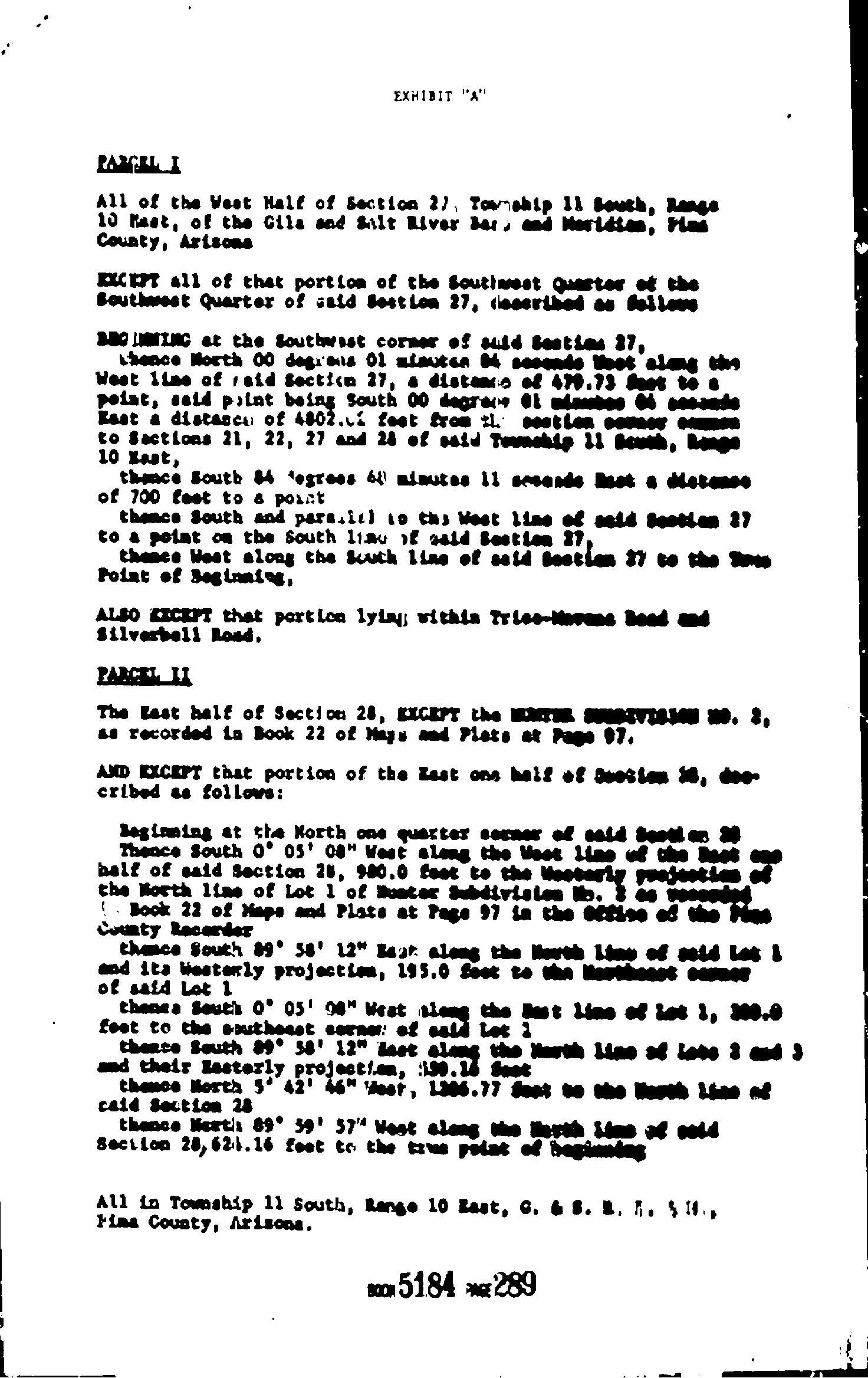
PANILI
All of the West Half of Section 2), Towmahip 11 South, lane 10 Maet, of the Gils and Salt River der, and Meridtes, Flas Couaty, Arisone
EXCET all of that portiom of the Soutimest Qaester of the Bouthwest Quarter of sald SestLon 27, (eceribed as fsilewe
BBOLNZNG at the southwest cormerof suid testias 27, thence Horth 00 degrens 0l miauten 4secends estalengthn West ilme of raid Sectiim 27, adisteo of479.73 Seet to point, asid piint boing south 00 degrer mes Kastadistasca of 4802.c leet from th. sesttener toSactions 21, 22, 27 and 28 of said Toumehip 11 South, 10 Kast, thance South 84 'egrees 64 mimutas ll seeende at adietenes of 700 test to aporrt thence South and paresil to ths Weet lime of said Seetlam 37 toapolat on the South 1iaw eatd Sestilem 27, thence West along the south 1ine of seid Seetien 37 totheS Point of Beginaiog,
ALSOKXCEPT that portion lyiay; withia Trice-Nvens Bead Silverbell Load,
PARCEL I
The Last half of Sectios 28, EICEPT the MMTL SUSEVIsse no. 2, as recorded ia Book 22 of Mays and Plats at Page97.
AND KICEPT that portion of the Last one half of Beetiem 28, deecribed ss follows:
Deginming at the Korth one quarter secner of eald Beetlen 0
Thence South O° 05'0a"West slengthe Weet lime ofthe hest half of aaid Section 28, 900.0 fest te the ecterly prejet the North lias of Lot 1 of muster Subdivisien Ms. Book 22 of Mape and Plate at Page 97 in the effiseoftheFies County Recerder
chamce South 09° 58 12" kalong the Hewth lime of eeld Las & and ita Westerly projectiem, 195.0 fost tothe Herthesst of said Lot 1
thenea South 0° 05' 90" Weat aleng the mt line ofist 1, 30e.e feet to thesxutheest cerner: of sald Let 1 dthelr the rth lia aflate 3and3 and their Lasterly projectiom, thence North 5 42 46" eer, 1206.77 Sest tothe hat lie nf caid Section 2s
thance Nerta 89° 59' 37"West aleng the Herth insaf celd Seciion 28,621.16 feet to the trws polat of hegiunlag
All in Towmship 11 South, Range 10 Last, C. 68. R. 7.S PimaCounty, Arisons,