$50*
OFF
DURING THE MONTH OF JULY 2026 When you book your vehicle for a log book service *Mention Peninsula Essence advert when booking.
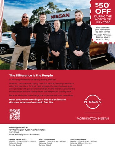
The Difference Is the People At Mornington Nissan, it’s never just about the car. Whether customers are buying their first vehicle, booking a service or returning years later for their next upgrade, the team believes great service starts with genuine relationships. It’s the friendly welcome, the honest advice and the familiar faces that keep locals coming back. Because while cars may change, the importance of trust never does.
Book today with Mornington Nissan Service and discover what service should feel like.
Mornington Nissan 109 Mornington-Tyabb Rd, Mornington 5971 0700 www.morningtonnissan.com.au Service Trading Hours Monday – Friday: 7:30 am – 5:00 pm Saturday: Closed Sunday: Closed
Parts Trading Hours Monday – Friday: 8:30 am – 4:30 pm Saturday: Closed Sunday: Closed
Sales Trading Hours Monday – Friday: 8:30 am – 5:30 pm Saturday: 8:30 am - 5:00 pm Sunday: Closed