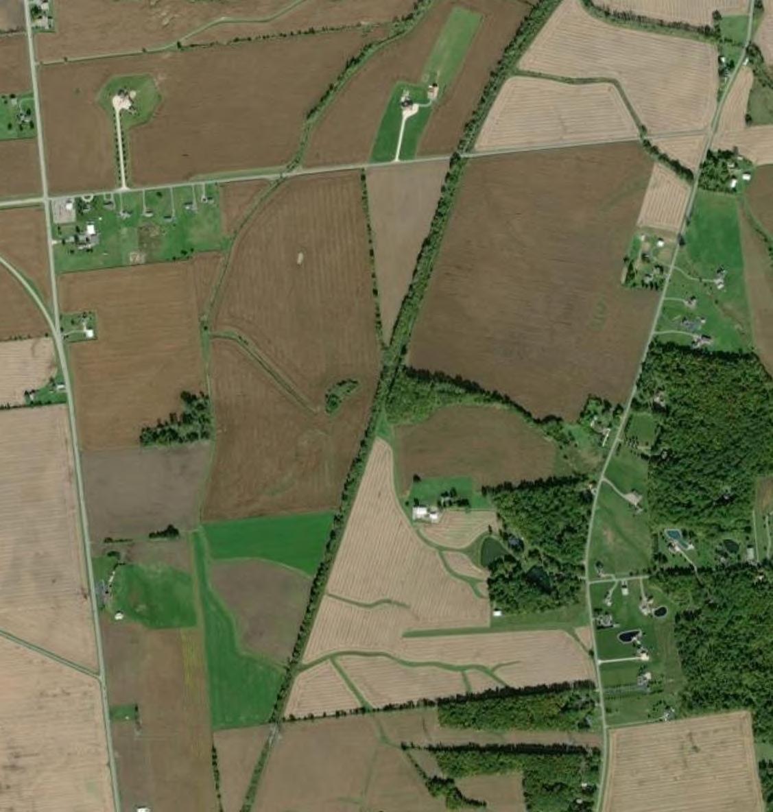
FI G URE 12
Table of Structures Within 1,500 feet of Generation Equipment
APPLICATION TO THE
OHIO POWER SITING BOARD FOR A
CERTIFICATE OF ENVIRONMENTAL COMPATIBILITY AND PUBLIC NEED FOR THE

APPLICATION TO THE
OHIO POWER SITING BOARD FOR A
CERTIFICATE OF ENVIRONMENTAL COMPATIBILITY AND PUBLIC NEED FOR THE
Case No. 24-0801-EL -BGN
Table of Property Lines Within 1,500 feet of Generation Equipment
APPLICATION TO THE
OHIO POWER SITING BOARD FOR A
CERTIFICATE OF ENVIRONMENTAL COMPATIBILITY AND PUBLIC NEED FOR THE
Table of Structures within 250 feet of Associated Facilities
APPLICATION TO THE
OHIO POWER SITING BOARD FOR A
CERTIFICATE OF ENVIRONMENTAL COMPATIBILITY AND PUBLIC NEED FOR THE
Case No. 24-0801-EL -BGN
Table of Property Lines within 250 feet of Associated Facilities
APPLICATION TO THE
OHIO POWER SITING BOARD FOR A
CERTIFICATE OF ENVIRONMENTAL COMPATIBILITY AND PUBLIC NEED FOR THE
Case No. 24-0801-EL -BGN
Parcels within 250 Feet of Associated Facilities
APPLICATION TO THE OHIO POWER SITING BOARD FOR A
CERTIFICATE OF ENVIRONMENTAL COMPATIBILITY AND PUBLIC NEED FOR THE
Case No. 24-0801-EL -BGN
1 Pending final design, the permanent impact acreage for the Project Substation is conservatively assumed to be the same as the construction acreage impact.
2 For completeness, similar figures as Project Substation included for utility substation, but it will be the subject of a separate application to OPSB.
3 Assumes 26 pyranometers on agricultural land each with a construction impact of 100 sq. ft. and a permanent impact of 9 sq. ft.
4 Assumes 40-foot-wide construction impact area.
5 Assumes roads totaling 25.2 miles that are 28 feet wide during construction and 16 feet wide during operation.
6a Pending final design, conservatively assumes construction impact area will include entire fenced area.
6b Pending final design, permanent impact has been conservatively estimated based on piling footprints of solar facilities of similar size.
7 Assumes 129 inverters, each with a construction impact area of approx. 0.08 acres and a permanent impact area of 138.5 sq. ft.
8 Assumes Gent-tie is 400 linear feet long and a 150-foot-wide workspace for construction.
9 Assumes 34 laydown areas.
APPLICATION TO THE OHIO POWER SITING BOARD FOR A
CERTIFICATE OF ENVIRONMENTAL COMPATIBILITY AND PUBLIC NEED FOR THE
Case No. 24-0801-EL -BGN
1Census, April, 2020
2Census, April 2020
3ODOD, Project 2050 Ohio County Populations; 10-year estimates are between current and projected
42040 data; limited to municipalities > 5,000; 10-year estimate is between current and projected
APPLICATION TO THE OHIO POWER SITING BOARD FOR A
CERTIFICATE OF ENVIRONMENTAL COMPATIBILITY AND PUBLIC NEED FOR THE
Case No. 24-0801-EL -BGN



















































































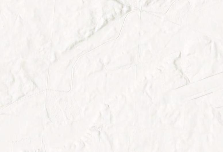


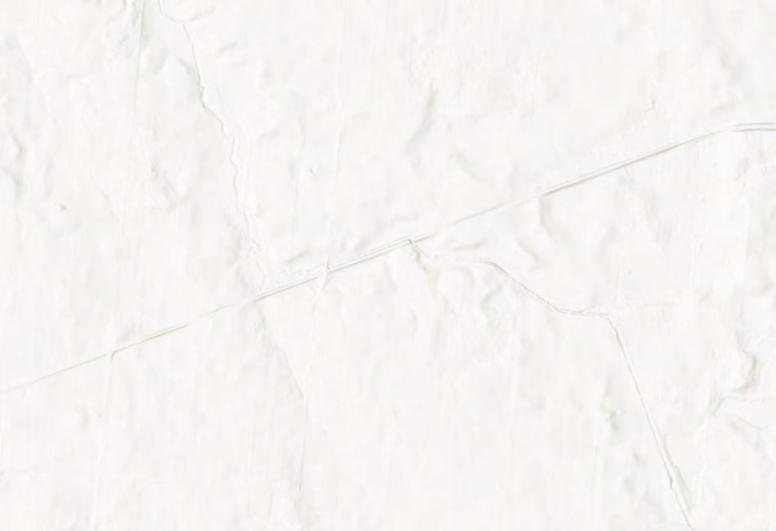


APPLICATION TO THE OHIO POWER SITING BOARD FOR A
CERTIFICATE OF ENVIRONMENTAL COMPATIBILITY AND PUBLIC NEED FOR THE
Case No. 24-0801-EL -BGN


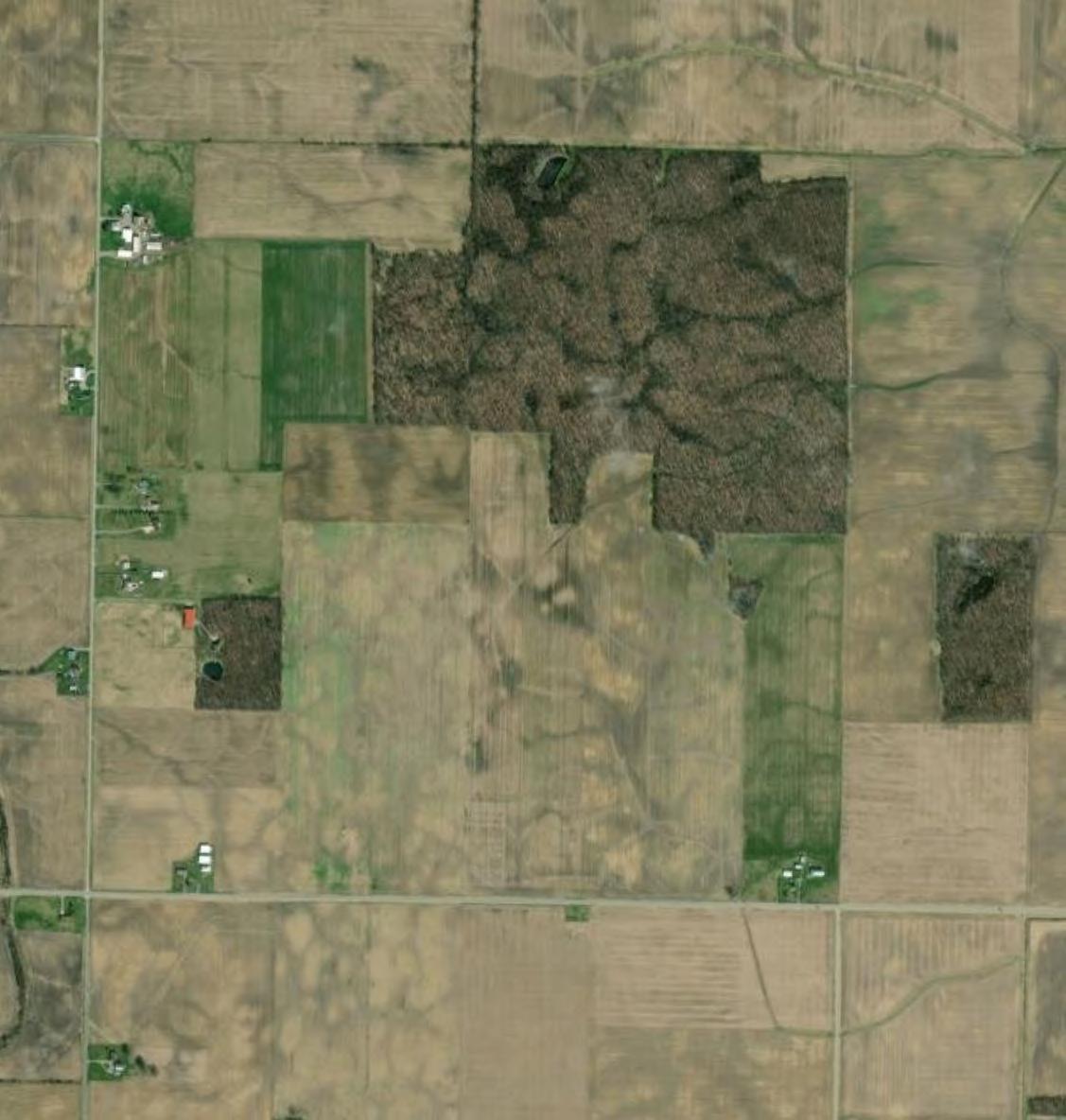


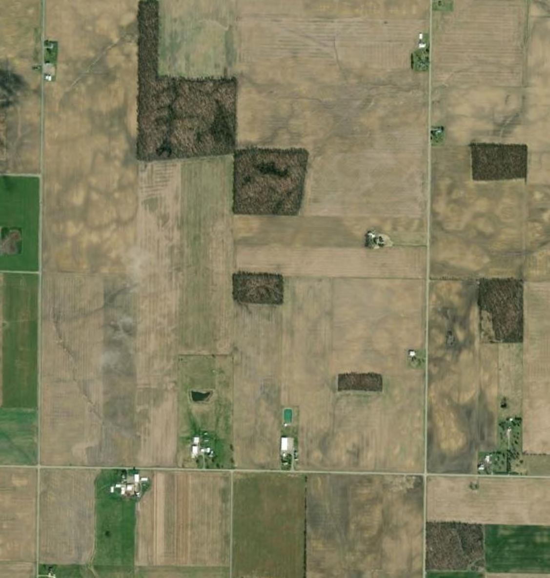
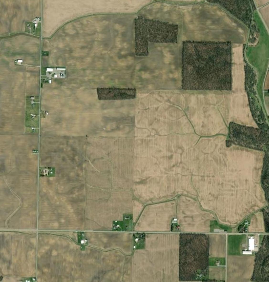
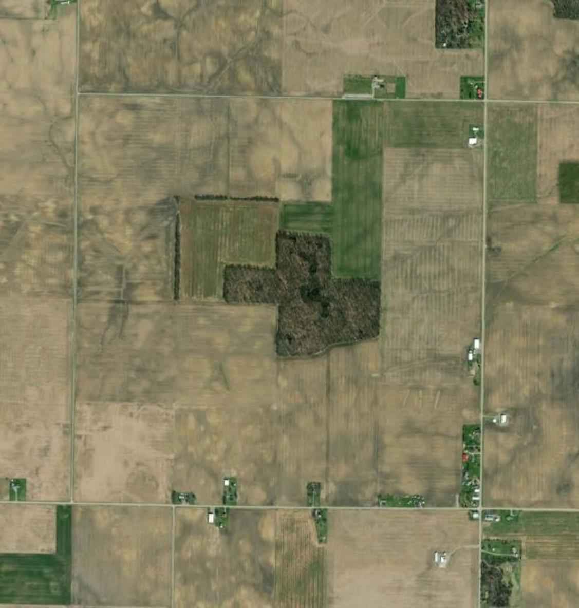
Note: The aerial photo was acquired through the Esri Imagery Web Service. Aerial photography dated 2021.
According to the Ohio EPA map of Concentrated Animal Feeding Operations with NPDES Permits, there are none mapped in the vicinity of the Project.




DISCLAIMER: Verdantas LLC has furnished this map to the Clientforitssoleandexclusive use as a preliminary planning andscreeningtool.Thismapis reproduced from geospatial informationcompiledfromthirdparty sources which may change over time and are not accurate as to mapping, surveying or engineering standards. Verdantas LLC makes no representation or warranty as to the content, accuracy, timeliness or completeness of any information. In no event will Verdantas LLC, its owners, officers, employees or agents, be liable for damages of any kindarisingoutoftheuseofthis mapbyClientoranyotherparty.


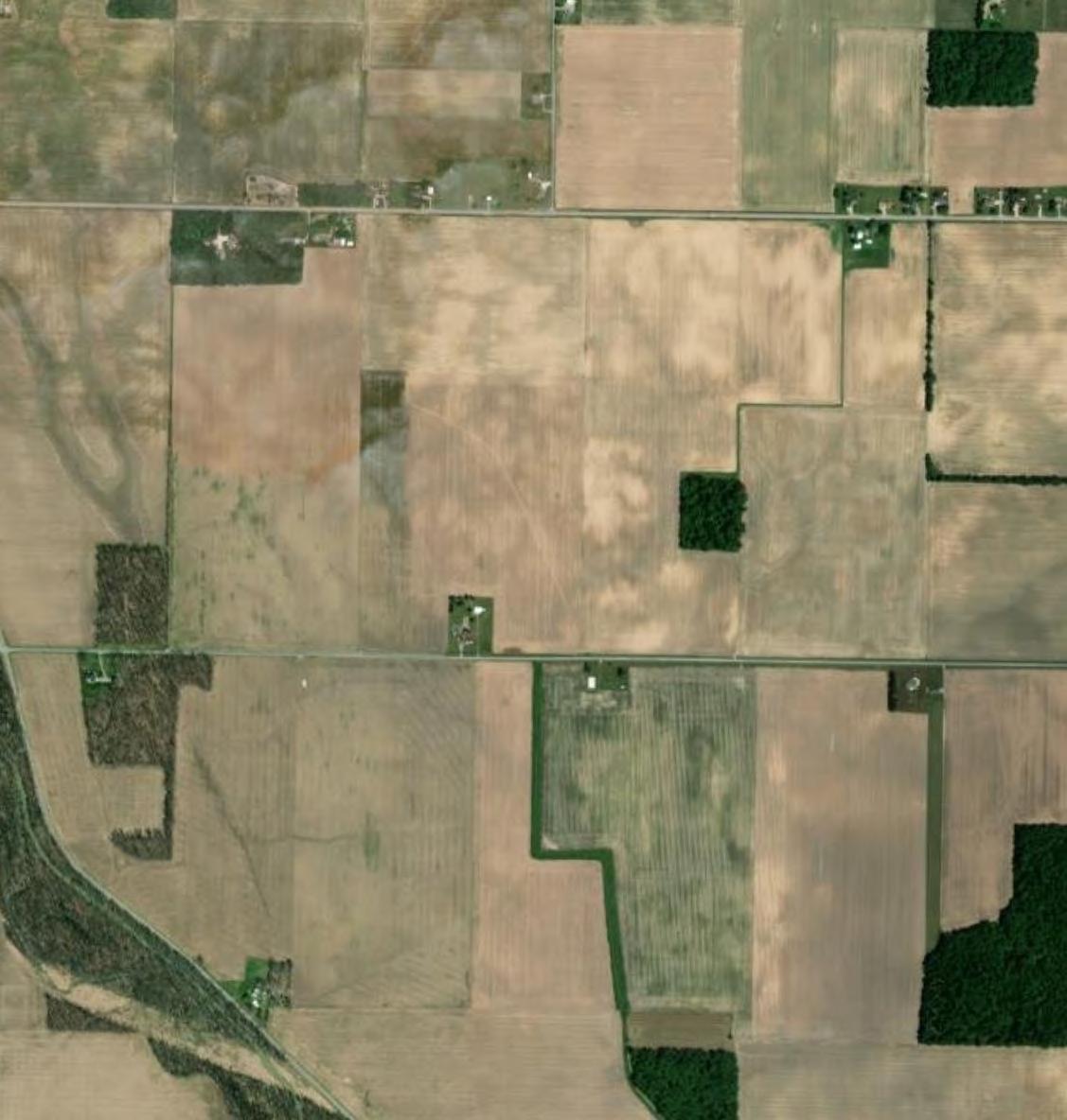


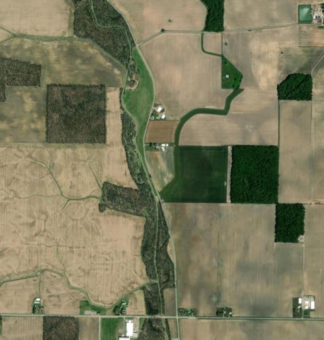
Note: The aerial photo was acquired through the Esri Imagery Web Service. Aerial photography dated 2021.
According to the Ohio EPA map of Concentrated Animal Feeding Operations with NPDES Permits, there are none mapped in the vicinity of the Project.


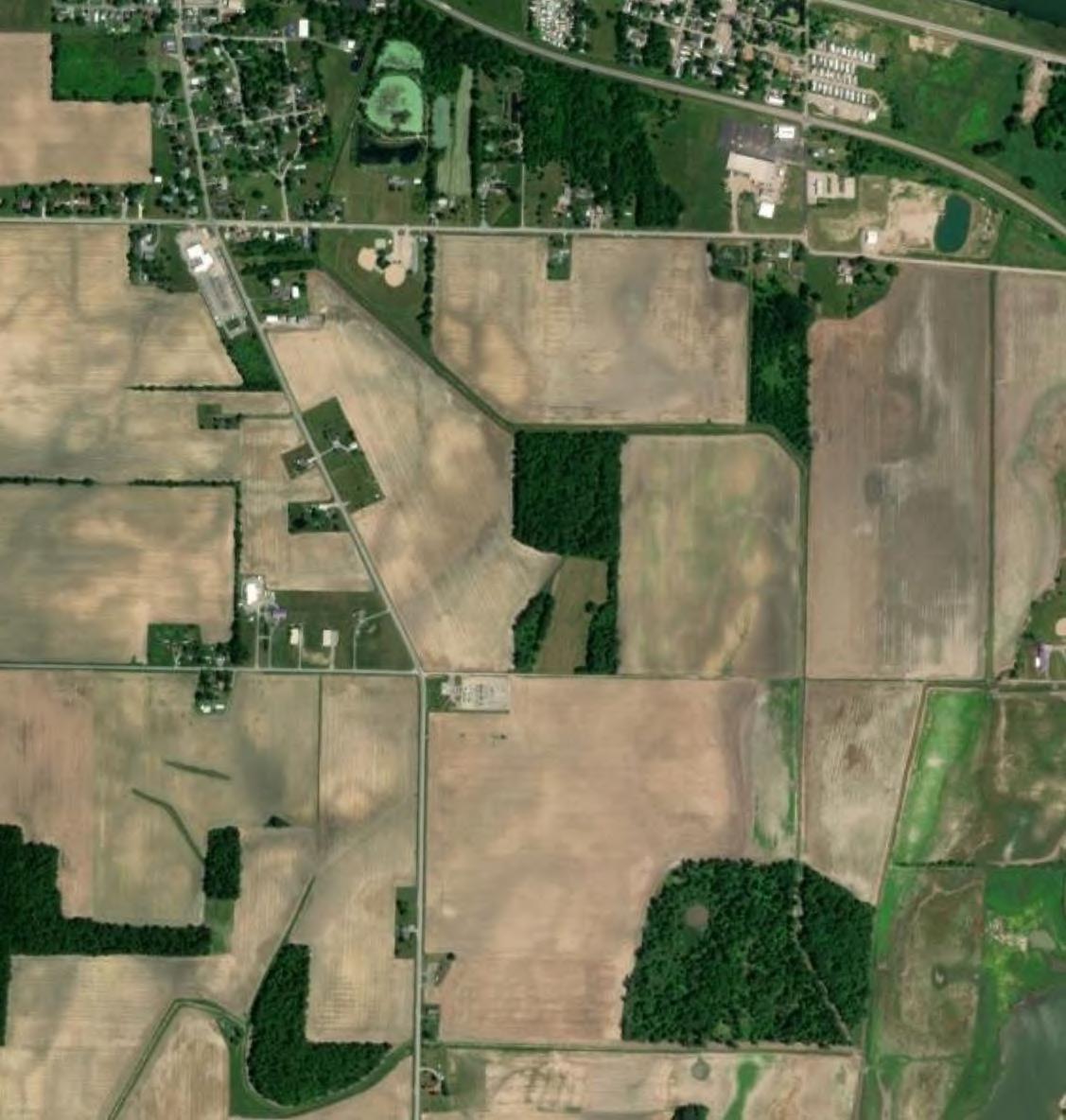


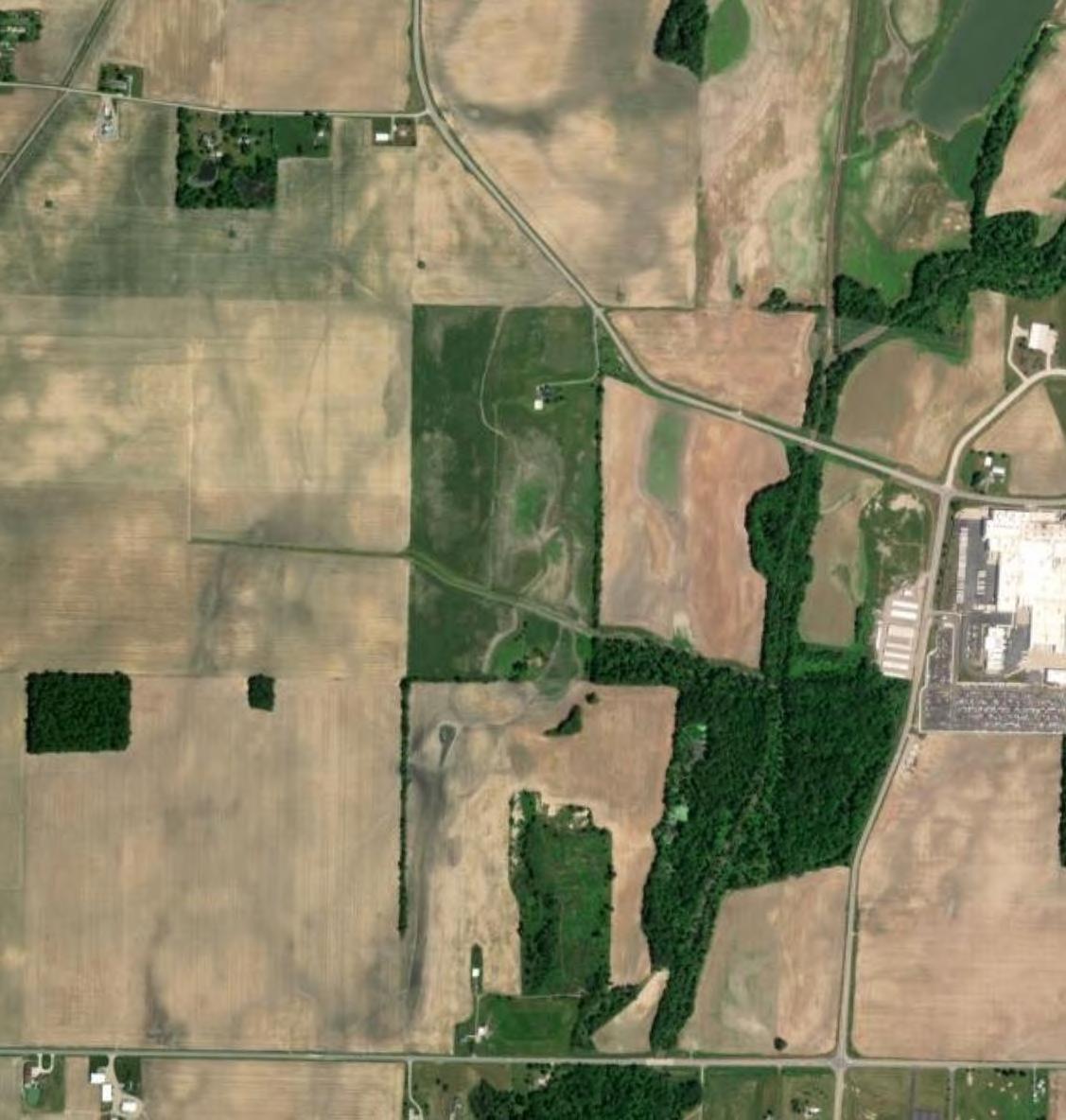
DISCLAIMER: Verdantas LLC has furnished this map to the Clientforitssoleandexclusive use as a preliminary planning andscreeningtool.Thismapis reproduced from geospatial informationcompiledfromthirdparty sources which may change over time and are not accurate as to mapping, surveying or engineering standards. Verdantas LLC makes no representation or warranty as to the content, accuracy, timeliness or completeness of any information. In no event will Verdantas LLC, its owners, officers, employees or agents, be liable for damages of any kindarisingoutoftheuseofthis mapbyClientoranyotherparty.


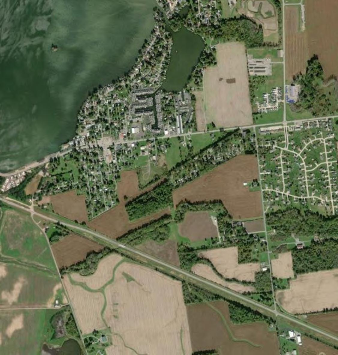


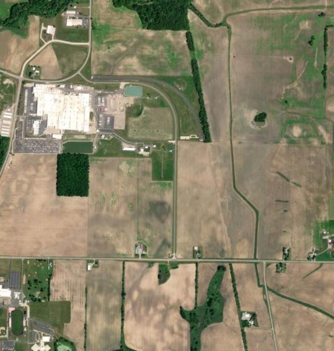
Note: The aerial photo was acquired through the Esri Imagery Web Service. Aerial photography dated 2021.
According to the Ohio EPA map of Concentrated Animal Feeding Operations with NPDES Permits, there are none mapped in the vicinity of the Project.


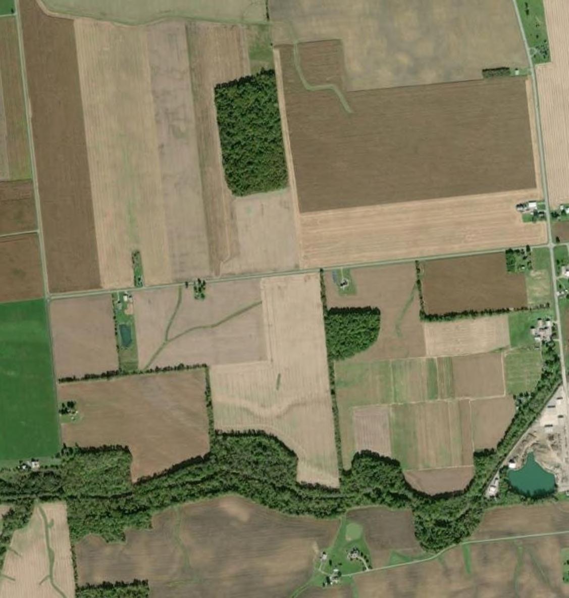


Note: The aerial photo was acquired through the Esri Imagery Web Service. Aerial photography dated 2021.
According to the Ohio EPA map of Concentrated Animal Feeding Operations with NPDES Permits, there are none mapped in the vicinity of the Project.


