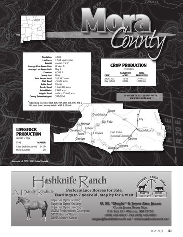
Population 4,881 Land Area 1,944 square miles Rainfall median, 15.3” Average First Freeze Date October 8 Average Last Freeze Date May 8 Elevation 6,300 ft. County Seat Mora Total Federal Land 205,567 acres State Land 75,623 acres Indian Land 0 acres Deeded Land 1,045,826 acres Inland Water 2,600 acres Irrigated Land surface: 15,460 acres County Extension Agent 387-2856
CROP PRODUCTION 2014 Figures
CROP
Alfalfa Hay Hay (other)
HARVESTED TOTAL ACRES PRODUCTION
4,500 6,000
6,400 tons 3,900 tons
TO OBTAIN THE LATEST DATA GO TO
www.nass.usda.gov
*Federal Land may include: BLM, BOR, DOA, DOD, DOE, FWS, NPS & OFA lands. State Lands may include: SG&F, & SP lands.
TYPE NUMBERS
Cattle (including calves) 14,000 Sheep & Lambs 200
Gascon
518
Levy
.
Holman 442 Lucero Cleveland La Cueva Mora
120
dian R
JANUARY 1, 2014
25
Ojo Feliz
518
LIVESTOCK PRODUCTION
Ocate
Cana
Guadalupita
Wagon Mound Fort Union National Monument Optimo
161
Watrous
Valmora
Mora
120
R.
Map created with TOPO!® ©2009 National Geographic
JULY 2015
123