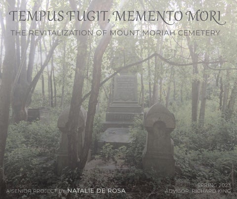


THE REVITALIZATION OF MOUNT MORIAH CEMETERY

A SENIOR PROJECT BY NATALIE DE
ROSA
SPRING 2023
ADVISOR: RICHARD KING

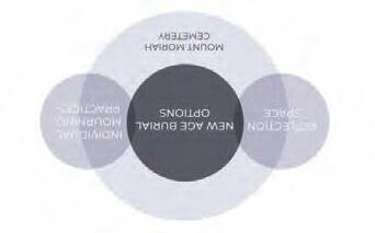
merican culture has turned away from death. Modern medicine and funerary practices have practically removed mourning tradition and limited the interactions with the deceased. The Rural cemeteries of the 19th Century served two purposes: A final resting place for the dead and a public gathering space for the living. Modern society has shifted away from these mourning rituals and practices, treating cemeteries as a plot of land with little to no use except when someone dies. Public green space is a sparse luxury in the urban environment. It can be purposeful for both the living and the dead. Revitalizing an existing cemetery can act as a bridge between life and death in the 21st Century. This project provides an approach to these concepts, bridging life and death together while providing a new approach to burial options and what happens to the burial plot following decomposition. Death is inevitable, as the Latin adage s i o o i states, “Ti i s. o i i .”


ON DEATH & DYING:
WHAT THE
DYING HAVE TO TEACH DOCTORS, NURSES, CLERGY & THEIR OWN FAMILIES


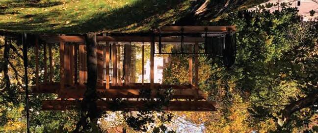
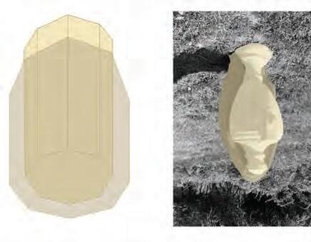
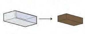
BRION MEMORIAL CEMETERY
ARCHITECT
LOCATION COMPLETED
TYPOLOGY
GROSS AREA
Carlo Scarpa
23,681 SF
POZZO DI SAN PATRIZIO
ARCHITECT
LOCATION COMPLETED
TYPOLOGY
GROSS AREA
Antonio da Sangallo the Younger
Italy 1537
Well
7,550 SF
CITY
ARCHITECT
LOCATION COMPLETED
TYPOLOGY
GROSS AREA
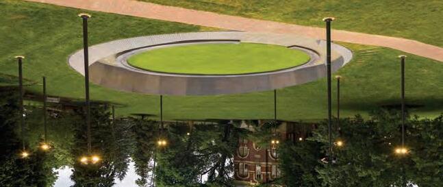
Michael Heizer
Land Art Sculpture
.75 SMi
ARCHITECT
LOCATION COMPLETED
TYPOLOGY
GROSS AREA
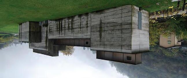
STEILNESET MEMORIAL
Peter Zumthor
Norway
MEMORIAL TO ENSLAVED LABORERS
ARCHITECT
LOCATION
COMPLETED TYPOLOGY
GROSS AREA
Howeler + Yoon
University of Virginia 2020 Memorial
5,024 SF

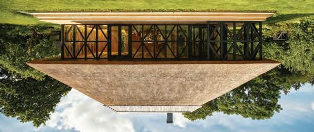
SUMMER PAVILION
ARCHITECT
LOCATION COMPLETED
TYPOLOGY
GROSS AREA
Kamp Arhitektid
Estonia 2020 Pavilion, House 710 SF
MUSEO LA CONGIUNTA
ARCHITECT
LOCATION COMPLETED
TYPOLOGY
GROSS AREA
Peter Märkli
Switzerland 1992 Museum
3,650 SF

ARCHITECT
LOCATION COMPLETED TYPOLOGY
GROSS AREA
THE YOGA PAVILION
Nyréns Arkitektkontor
Sweden 2021
Sports Architecture 754 SF
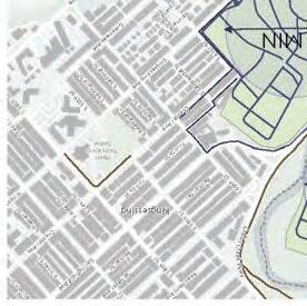
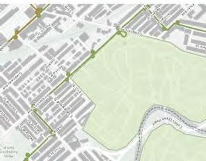
6201 KINGSESSING AVENUE PHILADELPHIA, PA 19142
PENNSYLVANIA
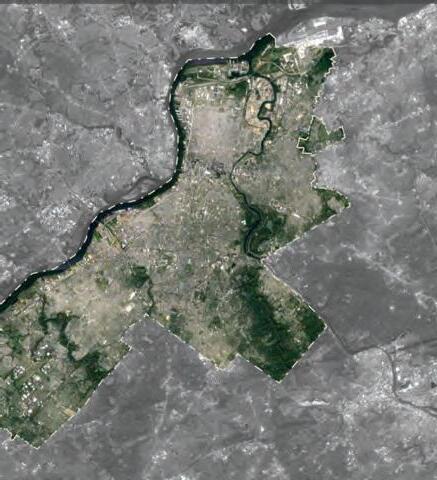
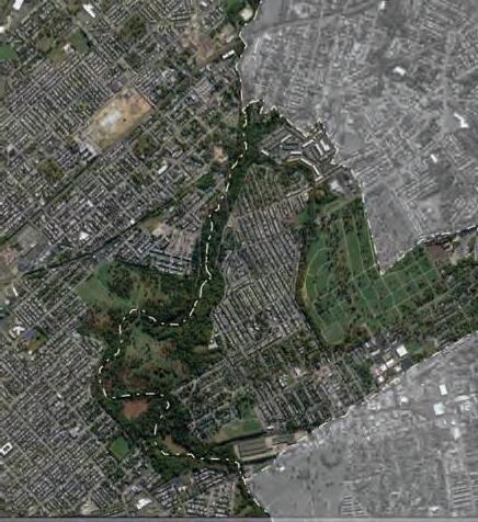
LANSDOWNE
KINGSESSING
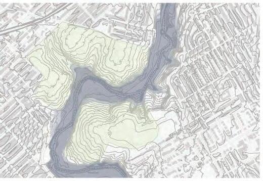
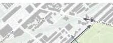
TOPOGRAPHY
PEDESTRIAN MAP

Site Defined Paths Cobbs Creek Trail
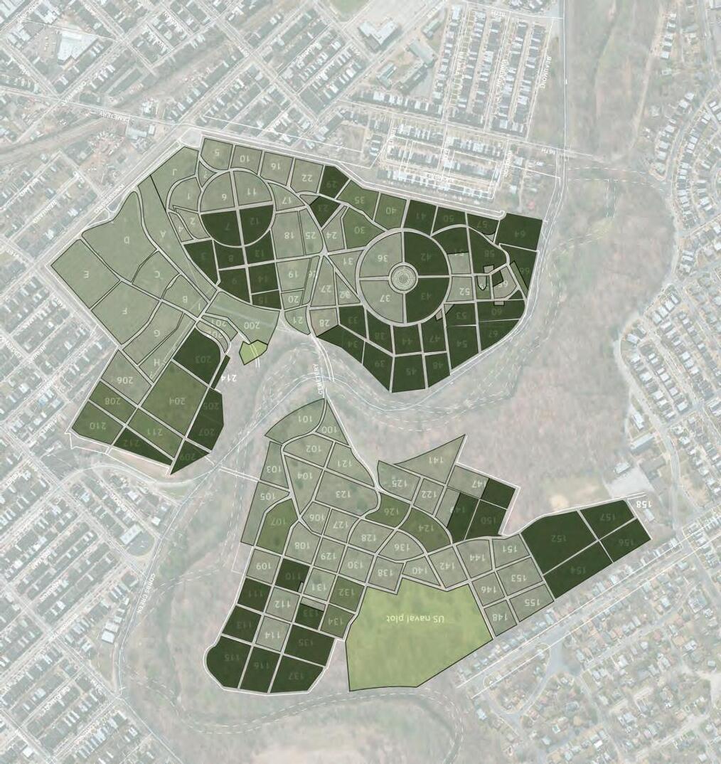
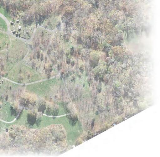
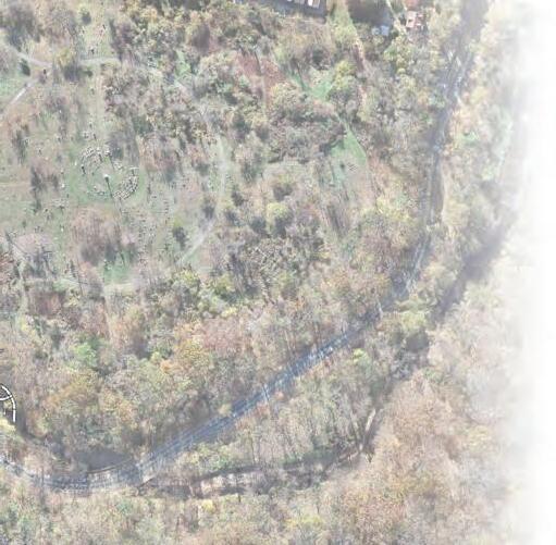
ount Moriah Cemetery was established in 1855 at 54 acres as a nondenominational, inclusive, accessible middle-class cemetery. Stephen Decatur Button designed the Norman Castellated Brownstone gate house that still stands today. The US Department of Veteran Affairs purchased The Soldiers Lot in Philadelphia and The Naval Plot in Yeadon. The cemetery continued to grow as Philadelphia and Yeadon expanded, and in the 1990s The Friends of Mount Moriah Cemetery
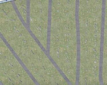
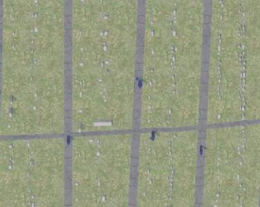
Non-Profit Organization formed. In 2004, Horatio Jones, President of the Mount Moriah Cemetery Association, died, leading the cemetery to become abandoned in 2011. The Mount Moriah Cemetery Preservation Corporation formed the following year, and activists Paulette Rhone, Donna Morelli, and Ken Smith blocked dumping trucks from entering the cemetery. Since then, The Friends of Mount Moriah Cemetery have presented a plan to convert the cemetery into a nature sanctuary. Today it is defined as a Level 1 ArbNet Arboretum at 160 acres with approximately 150,000 burial plots.
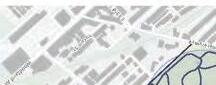
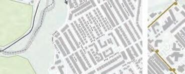
TRANSIT ROUTES
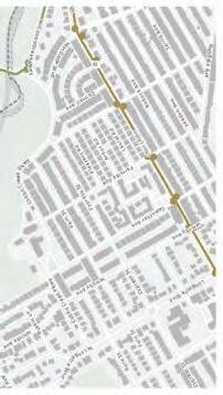
Trolley Routes/Stops Bus Routs/Stops
VEHICULAR APPROACH
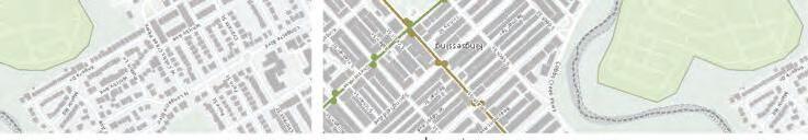


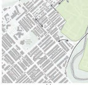
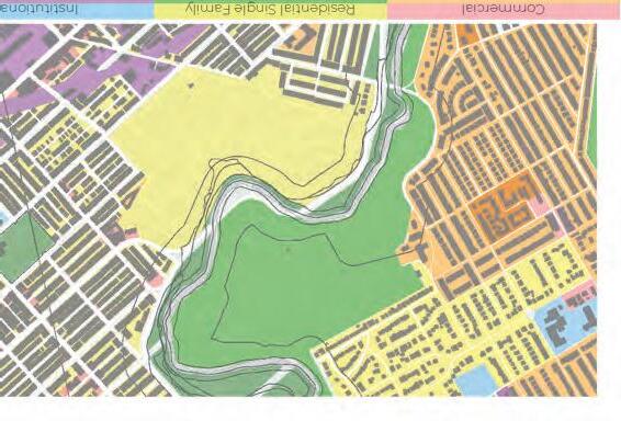
Zoning Classification
ZONING PHILADELPHIA
Philadelphia Zoning Code 2022
RSA-2 - Residential Single Family Attached-2
SP-PO-A - Recreation
Lot Size3,941,498 SF // 90 acres
Building Area1,576,600 SF // 36 acres
Max. Occupied Area40%
Min. Front Setback15 FT
Min. Side Yard16 FT
Min. Rear Yard Depth20 FT
Max. Height38 FT
Building TypeDetached, Semi-Detached
ZONING OVERLAYS
The Philadelphia Code
Accessory Sign Control
Title 14-904(4) - Special Controls for Cobbs Creek, Roosevelt Boulevard, and DPR Land
Applies within boundaries of Roosevelt Boulevard, Cobbs Creek Parkway, Fairmount Park, or Cobbs Creek Park
Applies within land under jurisdication of DPR
Signage must be in compliance with DPR regulations
Signage must be approved by Art Commission
Airport Hazard Control
Title 14-511
No building, structure, or object shall exceed Title 14 CFR - FAR Part 77 height regulations
No marking or lighting shall have an adverse effect or air navagation safety as determined by FAA
Open Space and Natural Resources
Title 14-704(4)(c)(.1) - Flood Protection
No enroachment except docks, public utilities, trails, roadways, and bridges are permitted
Open Space and Natural Resources
Title 14-704(4)(c)(.2) - Flood Protection
Any new construction shall have the lowest floor elevation elevated up to the regulatory flood elevation of 18"
Anything below Base Flood Elevation should be floodproofed, hydro-resistant, and firmly anchored
Open Space and Natural Resources
Title 14-704(5) - Waterfront Setbacks
All development shall provide a waterfront setback of at least 50FT wide from the top-of-bank for all watercourses
OCCUPANCY
Occupancy (303, 304)
Zoning Classification
INS - Institutional District
ROS - Recreational/Open Space District
Lot Size3,499,200 SF // 70 acres
Building Area1,749,600 SF // 40 acres
Max. Occupied Area50%
Min. Front Setback40 FT
Min. Side Yard20 FT
Min. Rear Yard Depth40 FT
Max. Height50 FT

Spaces with One Exit/Access to Exits Maximum Occupant
Accessible Exit Access Stairways (1009.3) Size of Doors (1010.1.1)
Site Experience
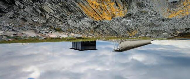
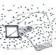
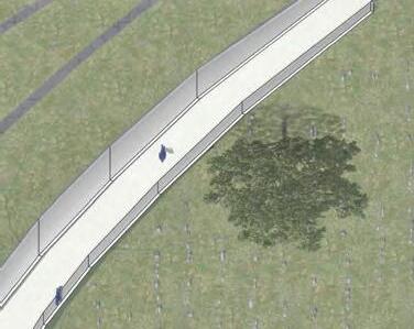
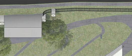
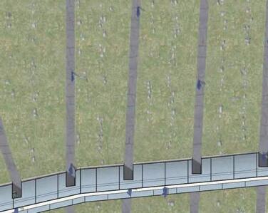
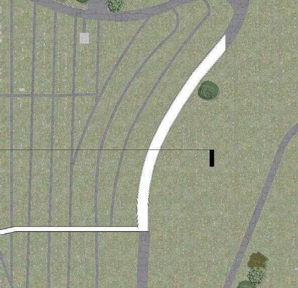
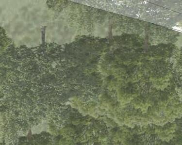
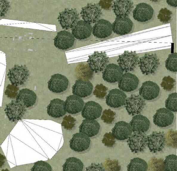
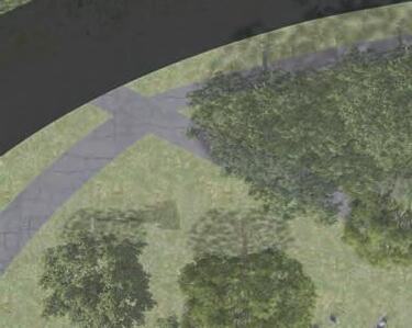
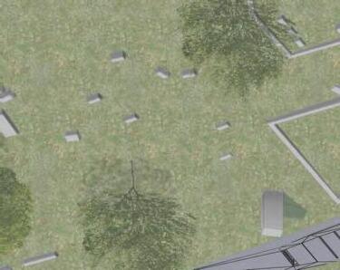
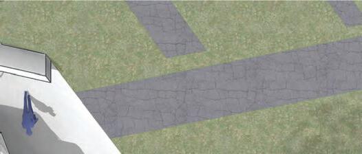
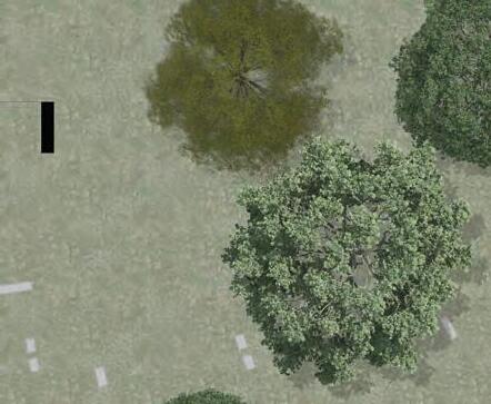
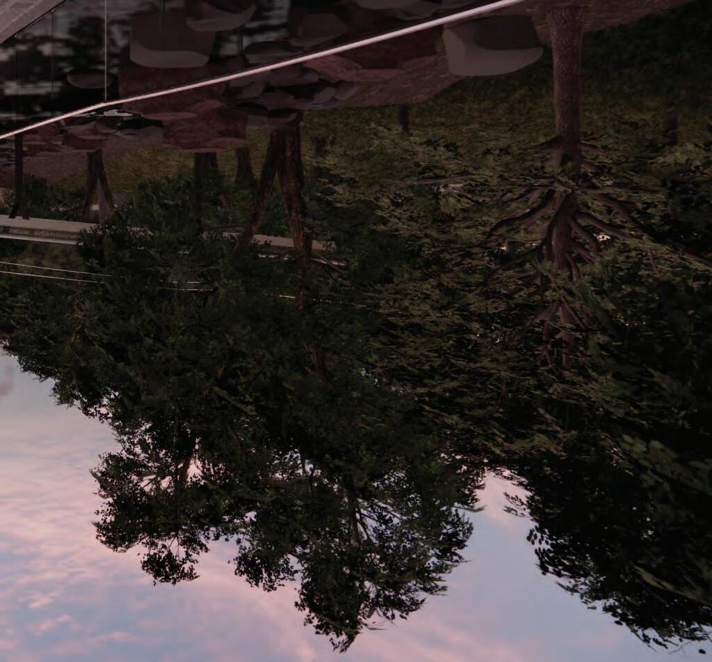
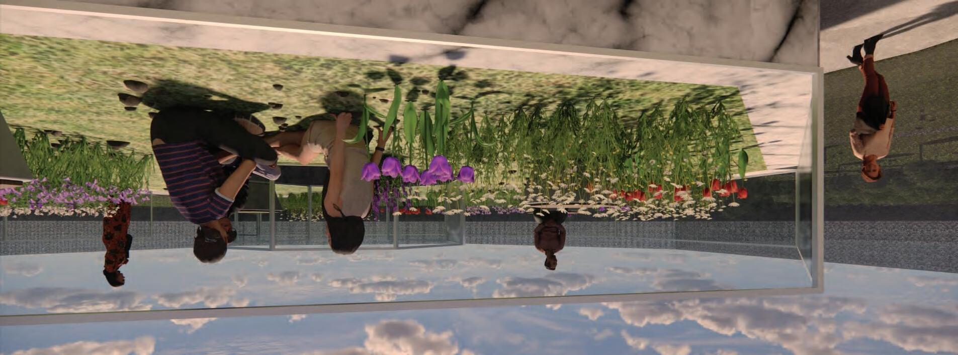
Atop a hill, one overlooks the grounds of the cemetery without a focus on the graves. The wall of trees minimizes the view but creates a strong separation between the manicured and natural areas of the site. One can look around at the surrounding site while feeling the breeze and sunlight around them.
Site Experience
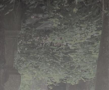
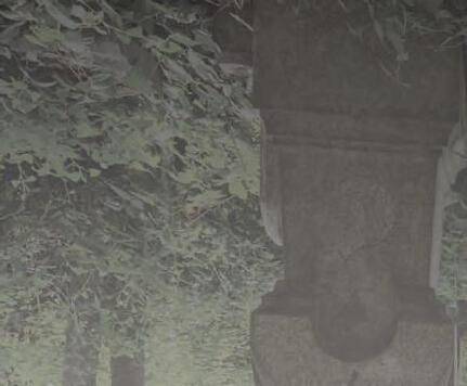
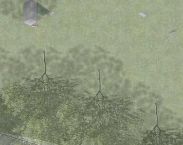
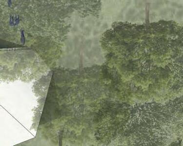
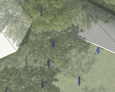
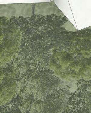
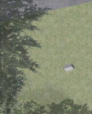
The unmaintained areas of the site provide a unique relationship between the experience of nature and cemeteries. These overgrown areas create shade and security, creating a contained and hidden experience for the user. These areas could be explored further by someone with proper means but generally are not recommended by the primary users.
Site Experience
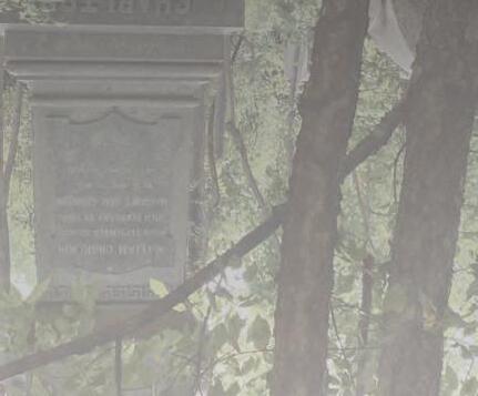
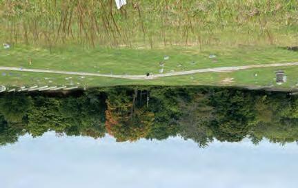
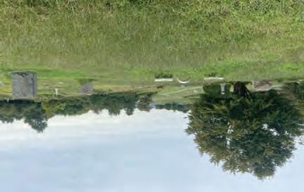
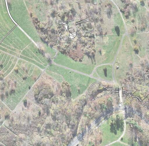
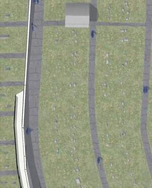
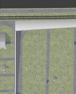
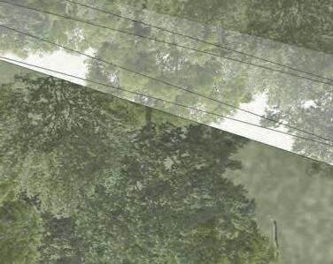
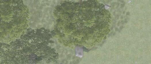
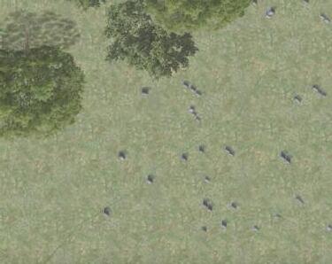
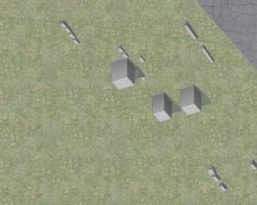
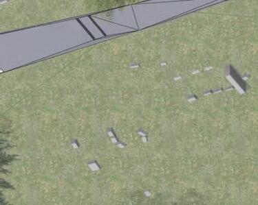
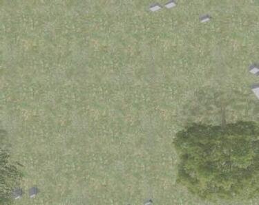
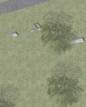
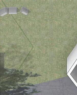
The cemetery topography provides expansive views while highlighting the natural, uncleared areas. This area creates allaround visibility of graves of different scales and orientations. The openness provides ample sunlight while still being towards the center of the cemetery, limiting unwanted noise.

Site Experience
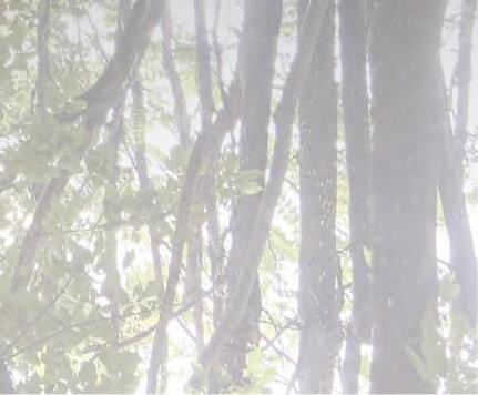
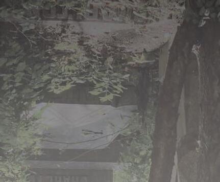
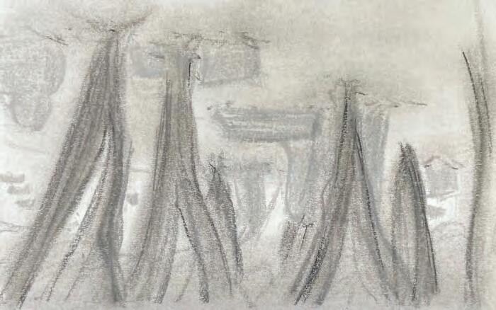
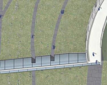
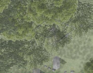
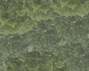
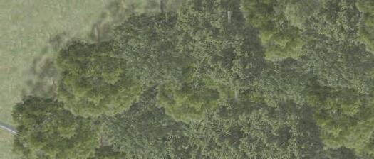
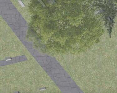
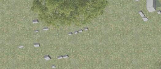
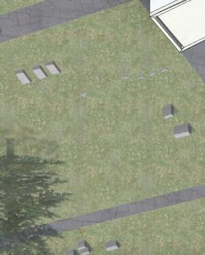
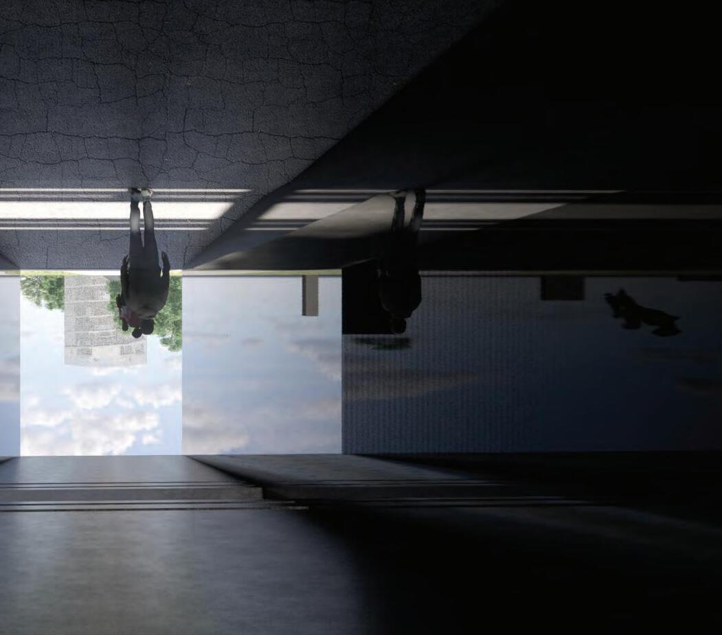
This area of the site is covered by trees and provides a unique experience of protection from the elements with close proximity to graves. The natural landscape is easy to traverse, and provides views to other areas of the cemetery, providing a place of refuge from the main path, but not completing isolating.
Site Experience
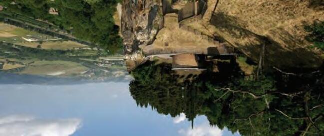
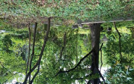
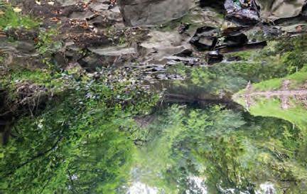
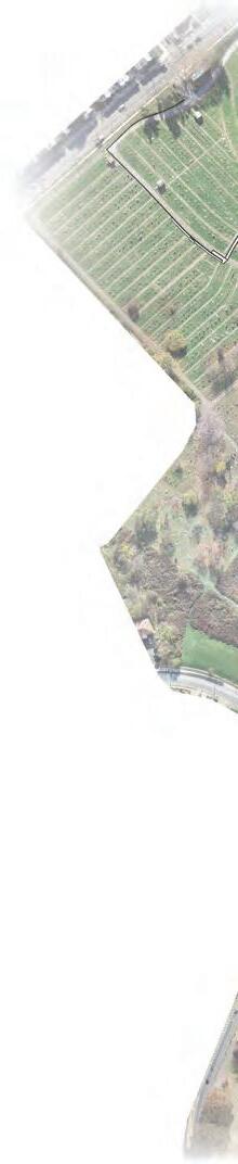
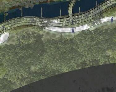
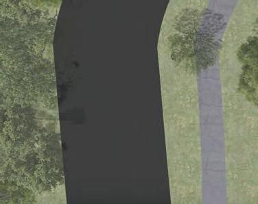
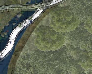
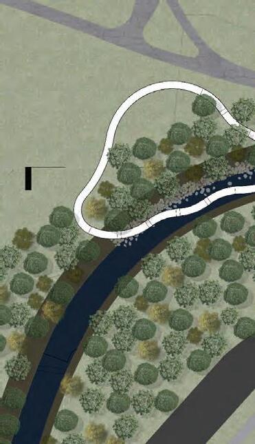
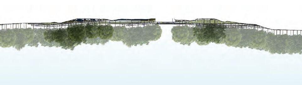
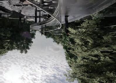
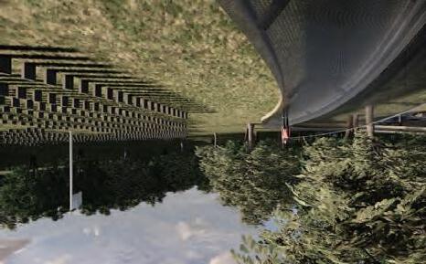
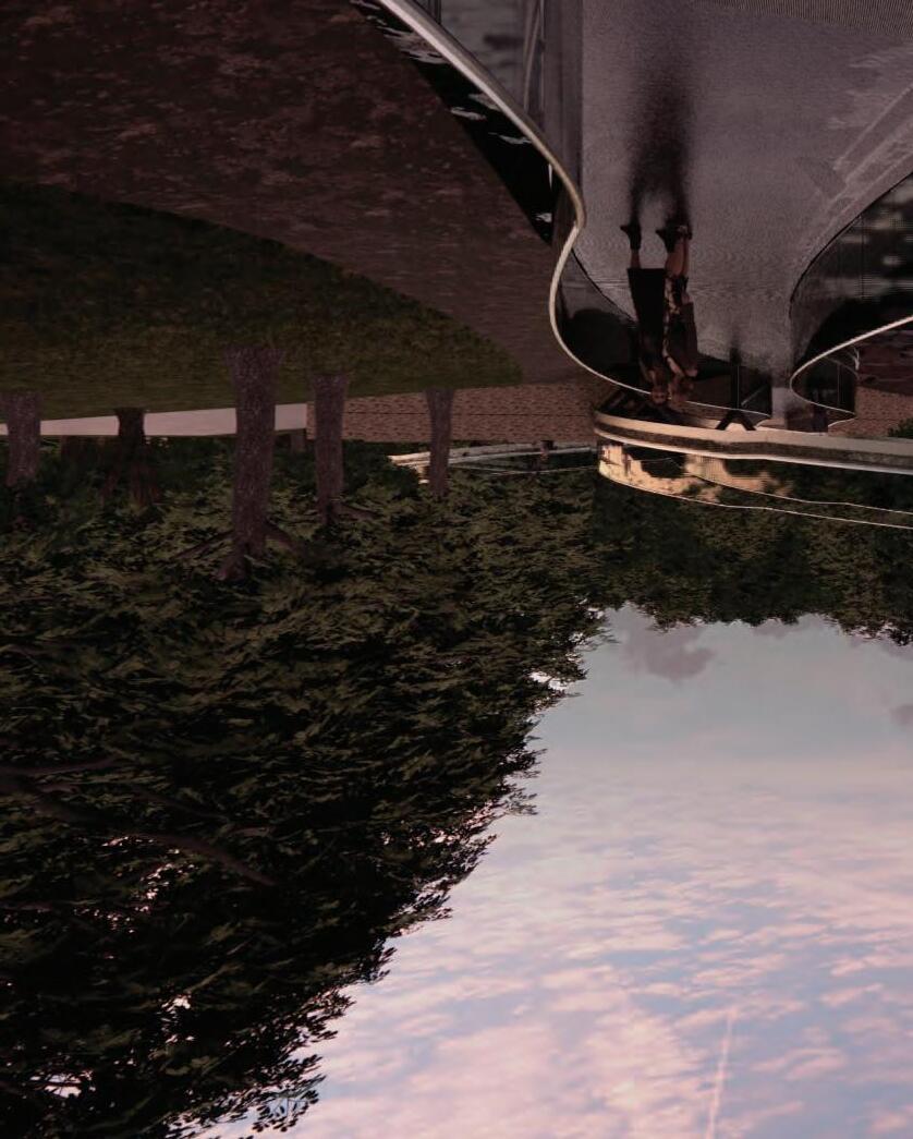
Cobbs Creek provides a unique experience to the user on-site. The creek is at the bottom of a steep slope, completely separating it from the conditions of the rest of the cemetery. The approach is covered by overgrown foliage as the creek is visible to sunlight. The unique experience created is an opportunity to be in touch with nature, forgetting your proximity to the cemetery.
Site Experience
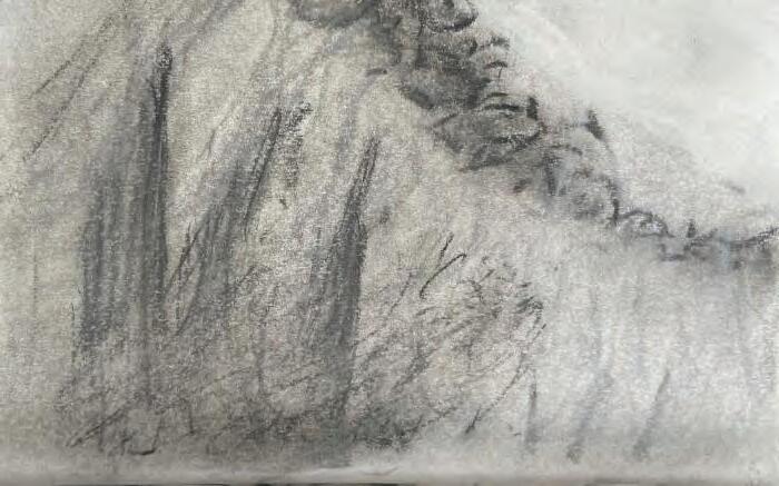
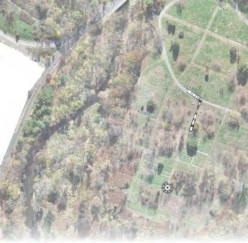
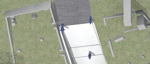
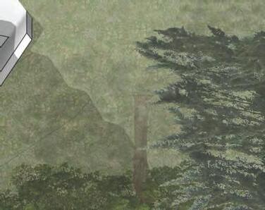
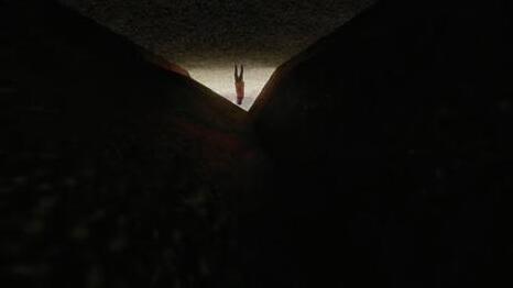
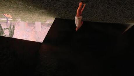
This area highlights the mausoleums and obelisks at the bottom of the hill. The user feels small compared to the overbearing nature of the monuments. The immediate area is exposed to sunlight while surrounding the user by the graves. Sitting at the bottom of the hill reinforces the idea of feeling tiny against the forces of the world.
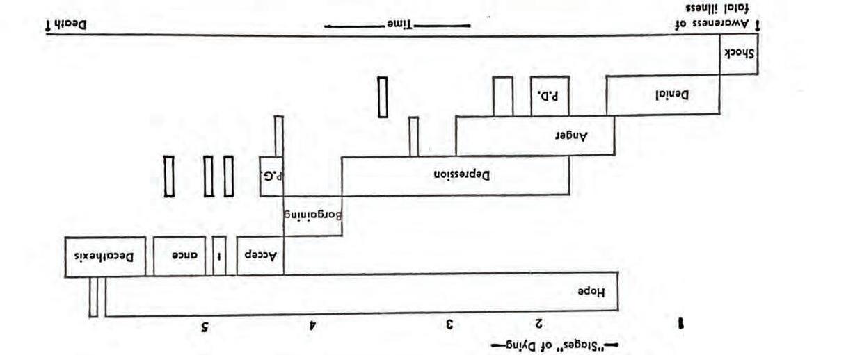
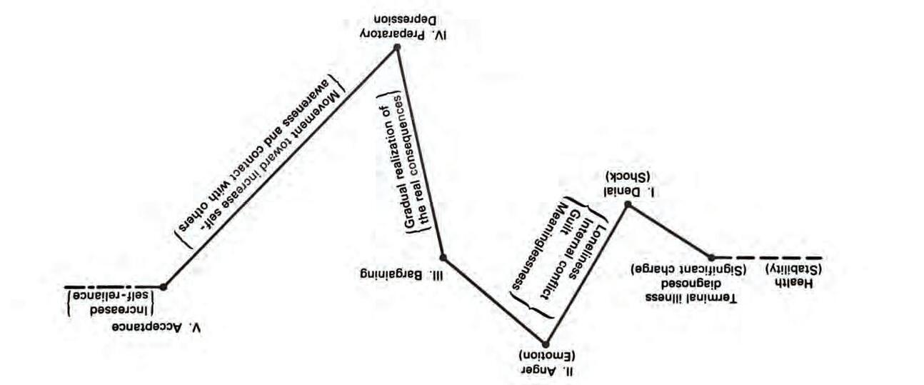
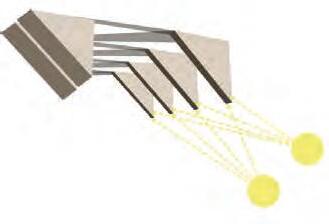
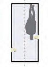
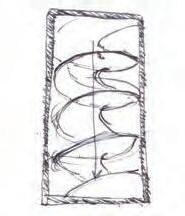
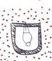
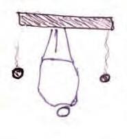
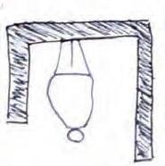
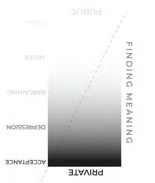
DEPRESSION

BARGAINING

ANGER
DENIAL ACCEPTANCE
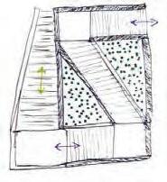
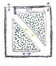
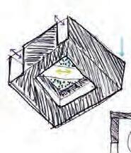


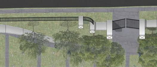
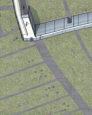


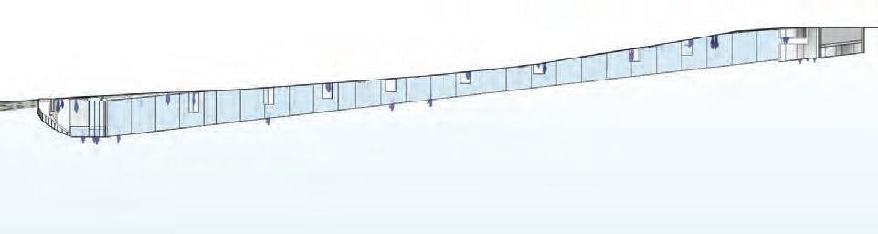


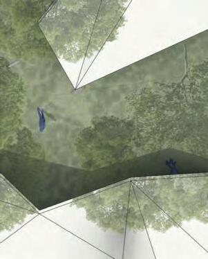
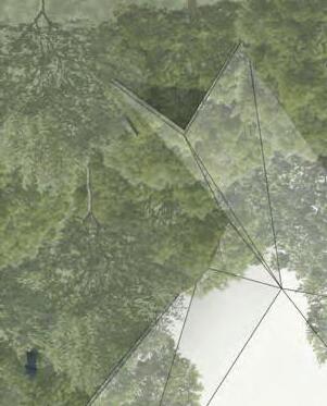


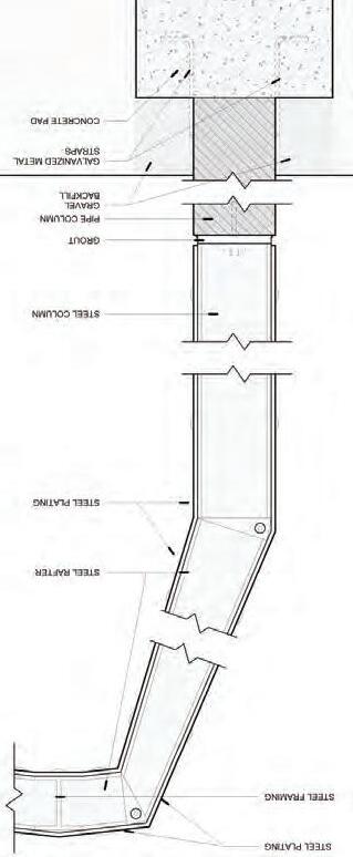


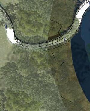
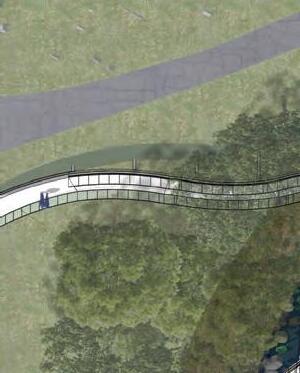


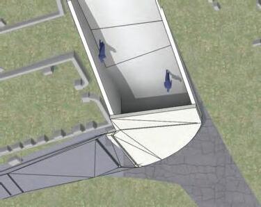
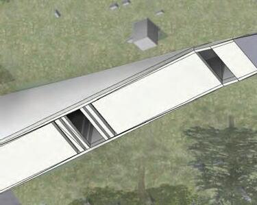


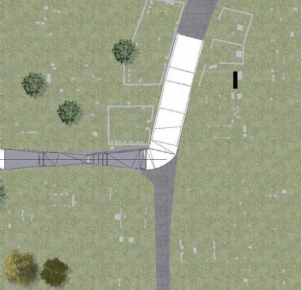


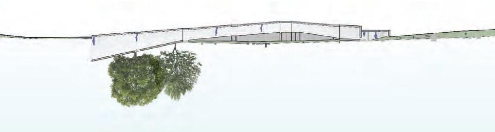


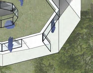
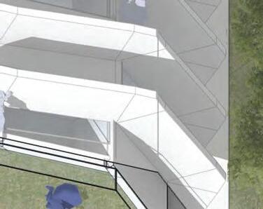
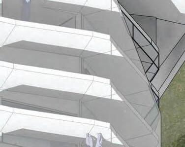
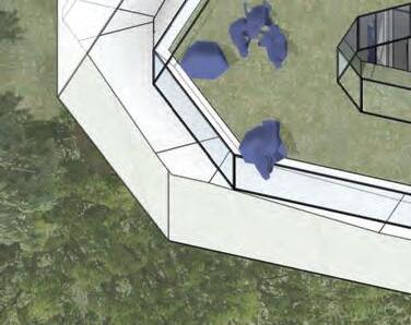
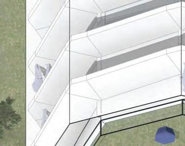
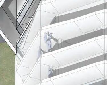
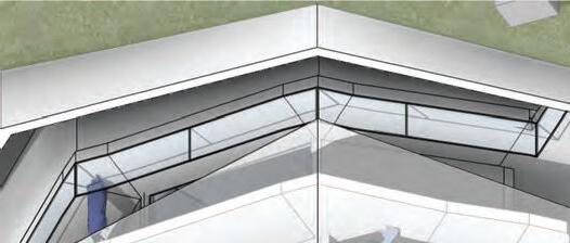


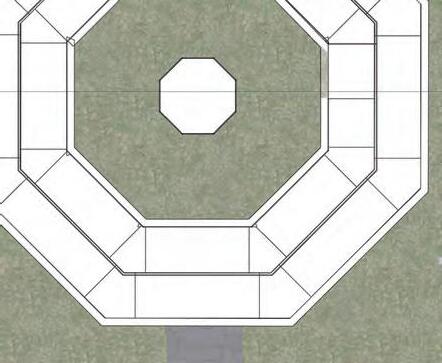

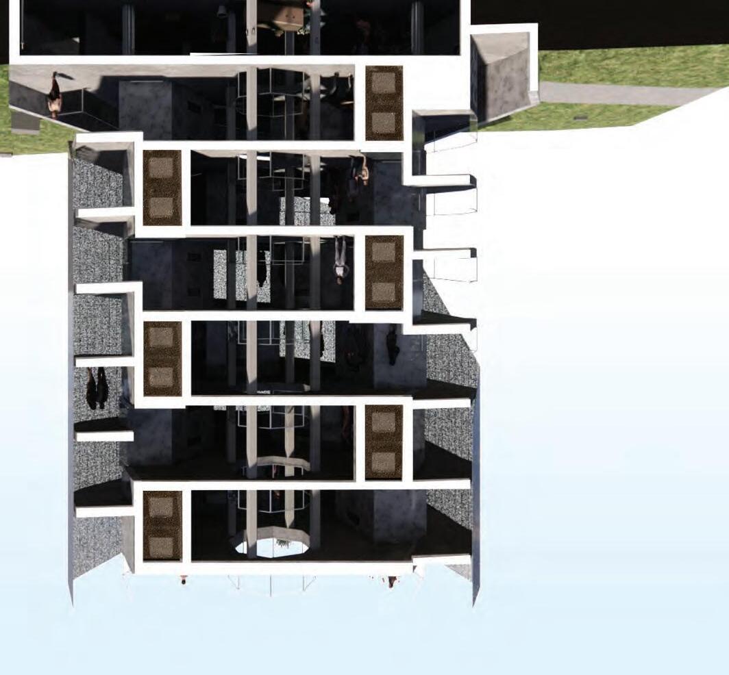

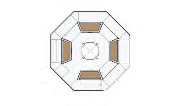
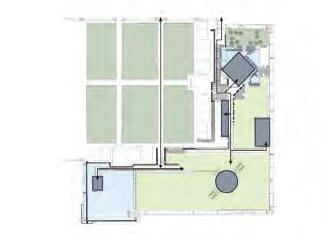
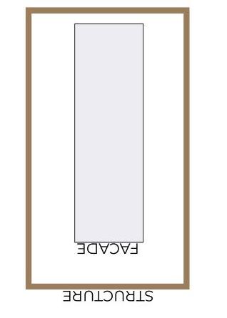
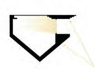
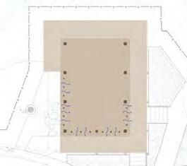
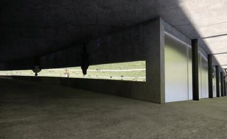
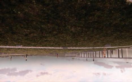
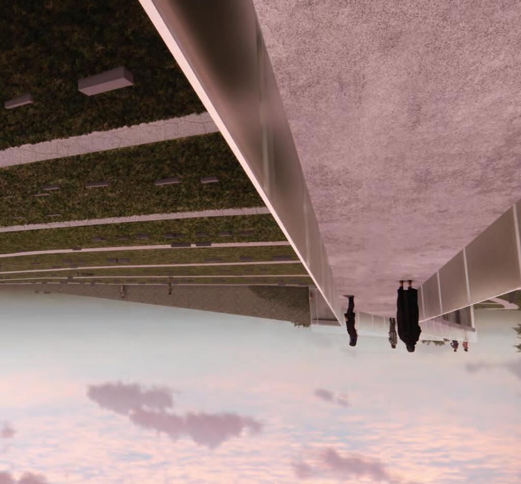
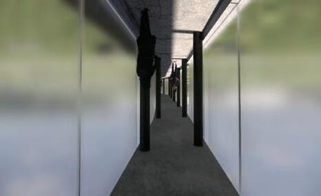
TYPICAL FLOOR PLAN
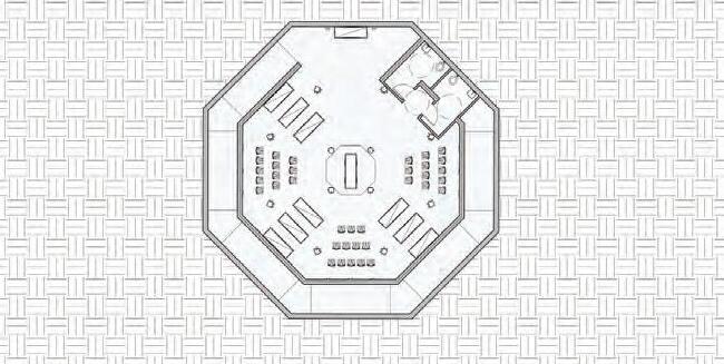
FUNERARY SPACE FLOOR PLAN


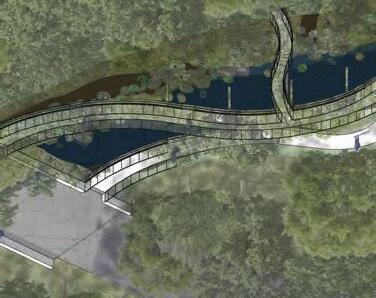
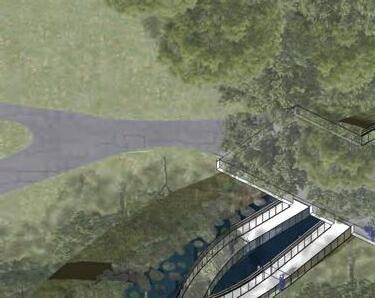
PROJECT CONCEPT
The project successfully addresses the stages of grief well and provides physical intervention to emotions.
Appreciation of interventions touching the sky and the individual symbolism per religious beliefs.
Bar of hope overrides all the stages of grief, how can that be carried across the design of all the stages?
Does the project have a sense of shock, and how can that affect the user experience from the start?
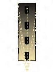
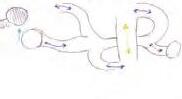
CIRCULATION
The project has a sense of directional path but allows people to experience it in whatever order they want.
Good location of interventions to allow a user to bypass all interventions if it’s triggering or upsetting.
There is a set sequence without the need for linearity, although it is implied.
RENDERINGS AND GRAPHICS
Great drawings and narrative with a sophisticated and mature approach to a unique concept.
Appreciation of material choices and how they respond to their respective stage and the overall project. Graphics and video walkthrough gave a full picture of the concept and representation of the process.
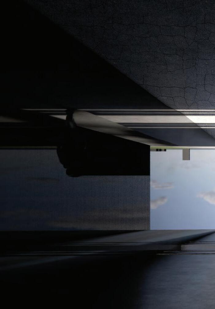
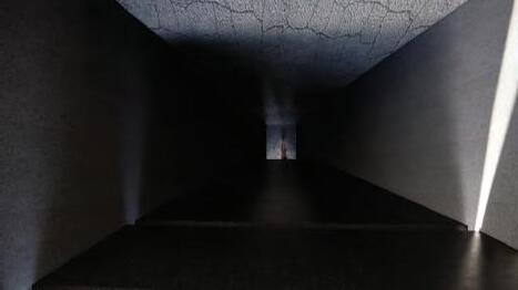
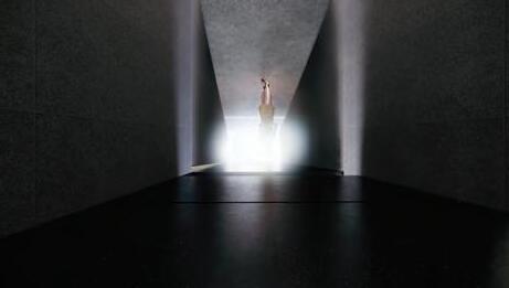
Acceptance Tower provides great contrast of light to a physically emotionally dark place.
FINAL THOUGHTS
Embrace not defining or understanding the reaction to the interventions because they’re experienced individually. Intentions may change overt time and it’s good the project has the ability to weather and decay with time.
F TI
This project challenged how I approach design and what implications exist with architectural development. Every week I saw a new opportunity to take my project further and begin to open up the discussion around death and dying. I think this project provides a discussion around mortality that is generally lost within America today. I appreciate the feedback from my jurors and their comments regarding my project. I feel that the concept of hope was felt throughout the project with the overall experience rather than as a physical manifestation. The “shock” of the project comes from visiting the cemetery itself, as it’s a shocking and uncomfortable experience. The interventions may have a different emotional response from each user, and that’s the point, there’s no expected or direct correlation to each stage of grief and how someone reacts to it.