Student Work
MASTER OF ARCHITECTURE
Society of Rooms FALL 2021
Student: Kevin Miller
ARCH 7036 + 6039 Student: Kevin Miller
Professors: Keith Kaseman, Mark Cottle, Heather Potts, Richard Dagenhart, Charles Rudolf, Lena Klein
Professors: Keith Kaseman + Mark Cottle
1 TO ONE [structure]
Edge Reclamaintion
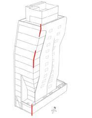
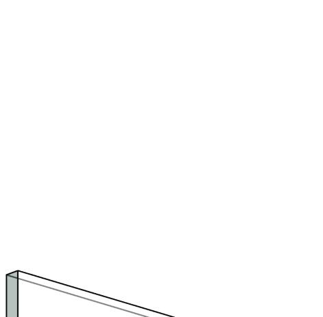
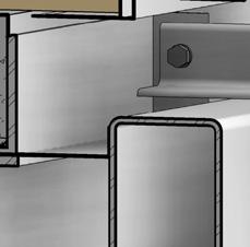
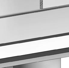
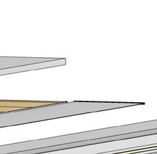
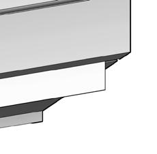
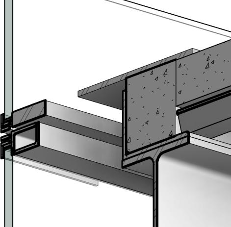
HL23 in NYC is designed by Neil Denari Architects. It is located above the High Line providing residents with stunning views by borrowing air rights from the public space below. In order to achieve this the structure of the building becomes a remarkable achievment with emphasis on streamlining construction and maximizing rentable SF. This project example recaptures HL23 using Revit at a very high level of detail emphasizing clear understanding of steel construction and facade systems. This project leads to a TA position one year later.
Right. Steel Plate Shear Wall or SPSW helps resist lateral forces imposed by the cantilevered floor plates at these upper levels. SPSW uses shear plates as lateral bracing in lue of larger diagonal members to gain a few extra feet of rentable space for units that board the shaft wall.
Framed davet enclosure.
Typical curtain wall sill. MF-2 subframing assembly.
Enclosure plate for MF-2 jamb assembly.
Interior furring studs.
Subframing for MF-2 parapet.
Left. Diagonal bracing members positioned along the perimeter of the building tie back to a moment frame built into the parti wall. By pushing the structure to the edge the design team can fully leverage the uninterupted floor plate.
Steel embed for megapanel connections
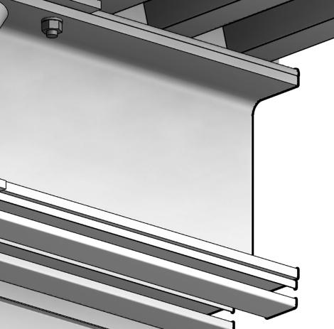
3x3x1/4” angle bolted to embeded halfen anchors vertically slot with through-bolt to stiffener.
2x2x3/8” angle stiffener.
10x6x3/8” hss tube as speader beam welded to anchor above.
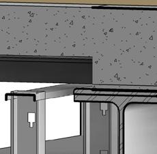
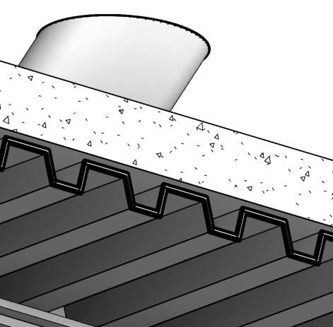
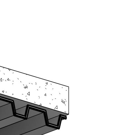
Concrete slab #4 bar 16” o.C.
3” Corrugated metal decking.
2-1/2” Cfmf runner channel fastened to deck above. Scheduled beam.
2-1/2” Cfmf runner channel fastened to beam above.
2-1/2” Cfmf stud 16” o.C.
2-1/2” Joist as lateral bracing.
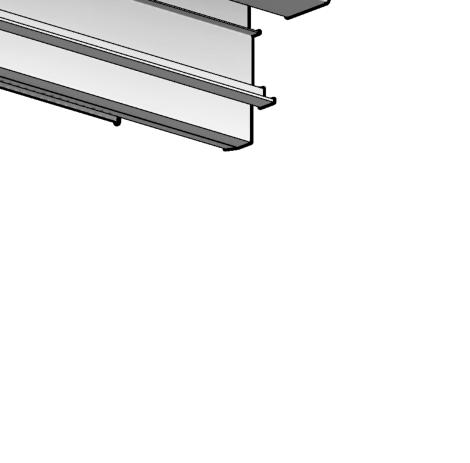
2-1/2” Runner channel.
Welded steel angles as transome.
Cassette clamps mechanically fastened to transome extension aluminum channel.
Backer rod and sealant.
Steel plate welded to face of spreader beam recieves transome and mullions.
Continuous steel angle as edge plate and attachment.
HL23: NEIL M. DENARI ARCHITECTS, INC.
C:\Users\kmiller\OneDrive - SLAM\User Data\Documents\0ARCH7102_IBS2\2022_02_02
Reference:
Sill plate as enclosure for fire and smoke protection treatment.
Concrete floor slab.
Adhesive.
Finish floor teak planks.
Aluminum angle for reveal.
1/8” brushed SS enclosure plate.
Sealant and backer rod.
Fire stop cavity.
Roller shade.
Custom aluminum shade enclosure.
Gyp. ceiling soffit.
Aluminum edge reveal.
1 TO TWO [systems]
Edge Reclamaintion
KEVIN
JAYITA
COLIN
JOSE
TYLER
4
100% CD Issued For:
Date: Dec. 15, 2022
Scale:
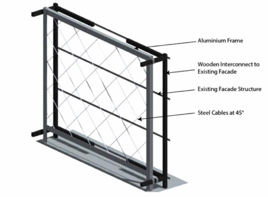
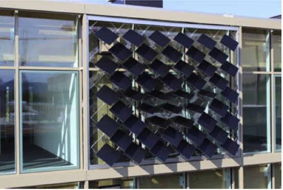
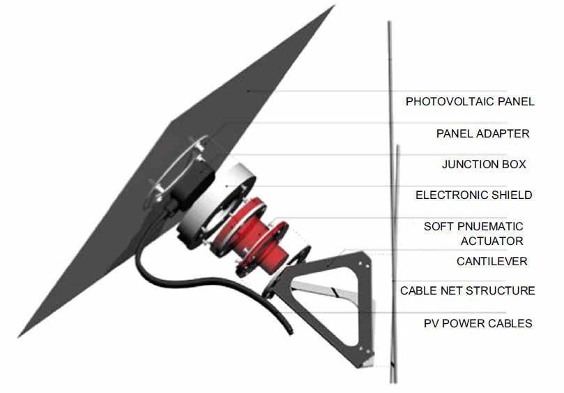
The team has decided to maximize window coverage on the facades of the building. This is a response to Portland's need to maximize natural light given the common overcast days throughout the year. Taking advantage of this window coverage, the team has decided to provide shading on these windows through an adaptive solar face as proposed by Nagy, Svetozarevic, Jayathissa, et al.( 2016). In their research and proposal, the designers use a module (Figure 3) with photovoltaic panels that move in response to the sun path to capture sunlight and create energy. These modules are placed on an aluminium frame with steel cables at 45 degrees on the facade extructure (Figure 4) to create a dynamic facade system that may display different configurations (Figure 5) that respond to the sun's path.
This facade system is beneficial because it integrages shading into the fabric of the building, making it automatically respond to the outdoor conditions and create energy. Figure 2 shows the potential energy production that Nagy, Svetozarevic, Jayathissa, et al. were able to produce their prototypes, creating a total energy savings of 25 percent
Reference:
Date:
2
4
Source: Nagy, Svetozarevic, B., Jayathissa, P., Begle, M., Hofer, J., Lydon, G., Willmann, A., & Schlueter, A. (2016). The Adaptive Solar FacadeFrom concept to prototypes. Frontiers of Architectural Research, 5(2), 143–156. https://doi.org/10.1016/j.foar.2016.03.002
09/20/22
Sketch No:
3
2
3
Figure 1: Images of the prototype facade system
Figure
Figure
Figure
Figure
Figure
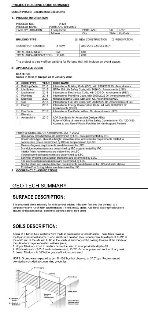
The final class of a series, IBS 3 combines fundamental skills of structure, mechanical, and electrical engineering to be integrated into a simulated construction document set. Students are asked to work as teams to design and document a building given a prompt of lot size, building adjacency, number of stories and program. Concepts must address geotechnical assignments, passive sustainable building strategies and building code. This simulated project works through all design phases.
WATERPROOFING MEMBRANE FOAM ROD
INFILL BAT INSULATION
The Portland team designed a one-way concrete structure outfitted with photovoltaic panels that move in response to the sun. A large interior atrium rises through the middle of the building opening to saw tooth roof above.
WEATHER PROOFING MEMBRANE 2" RIGID INSULATION (FLAT) 8" CONCRETE DECK
SLAB POUR STOP
The team had to work hard to simplify building systems to function around the large building atrium, stacking mechanical and plumbing where they could along the building parti wall. Realizing that we had created a fire safety violation with the three story lobby the saw tooth roof design would double as a smoke evac solution to avoid having any fire seperation curtains.
EXPANSION JOINT
03 Zero to One
Edge Reclamaintion
[responsive design]
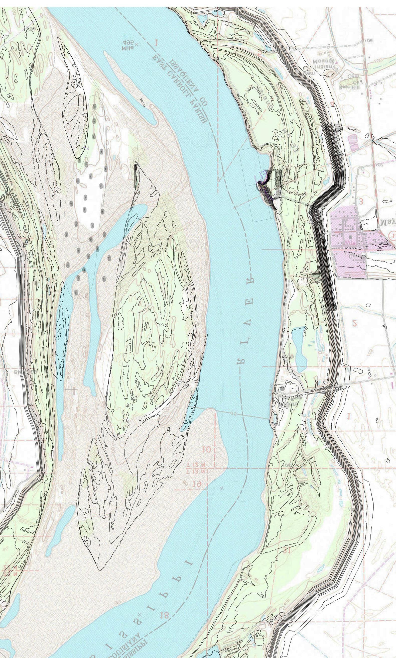
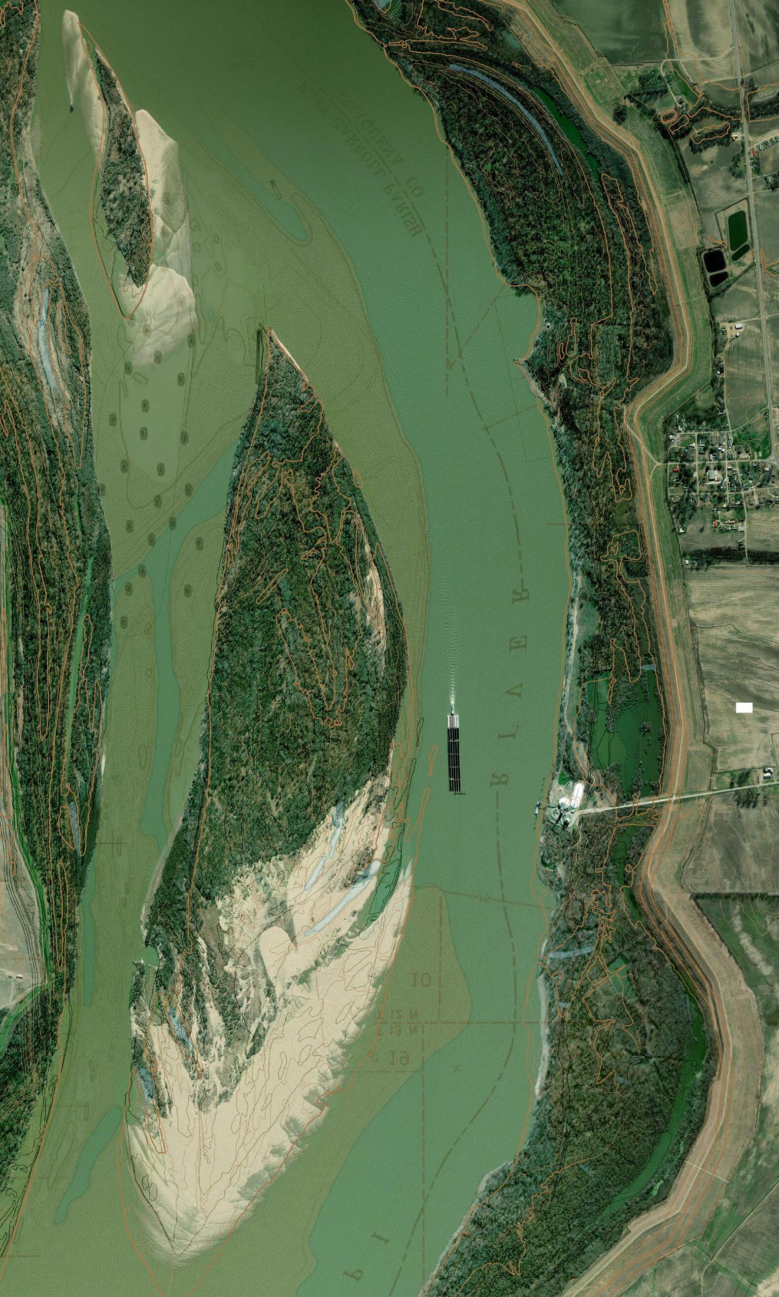
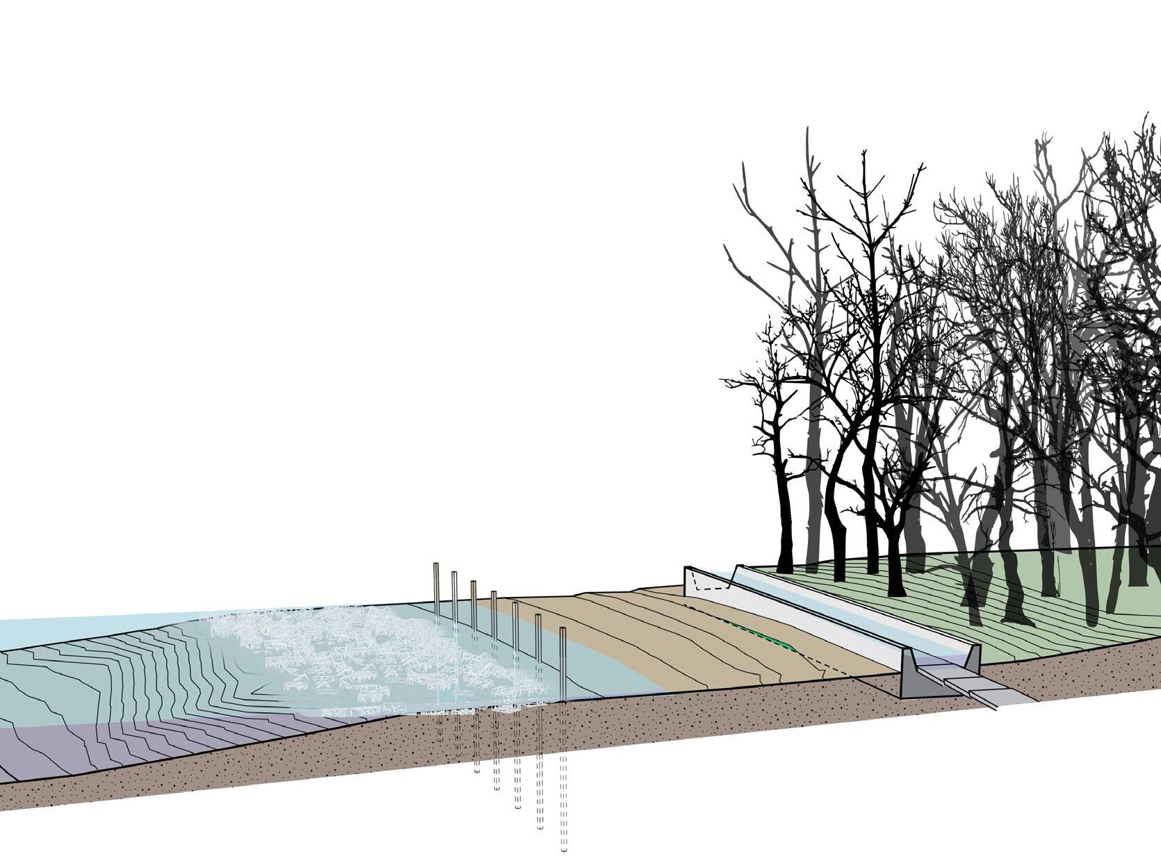
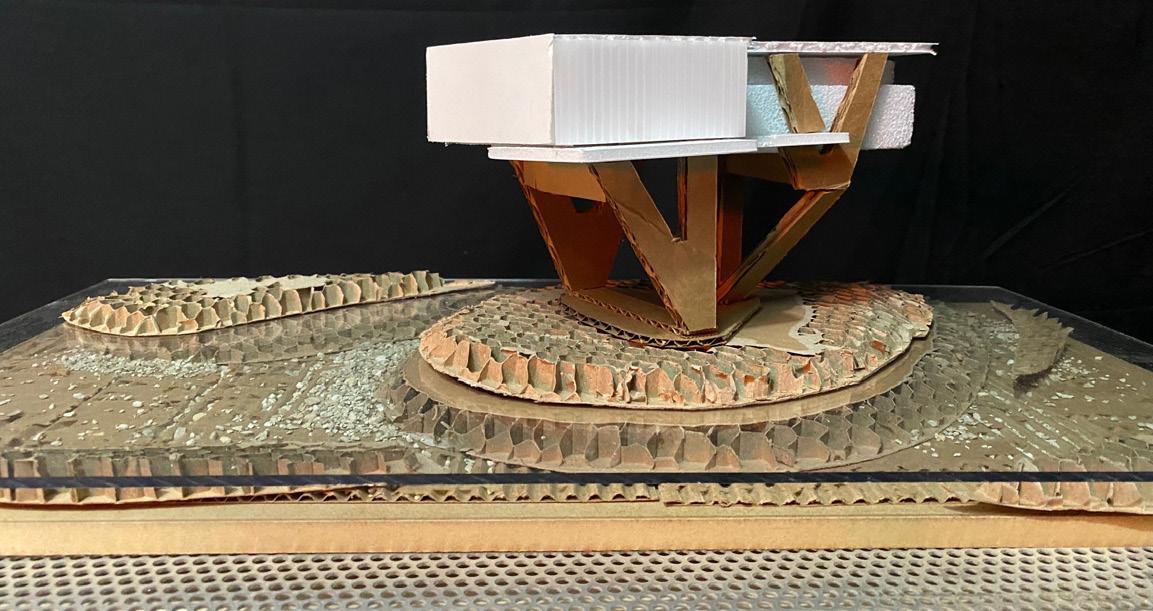
A riverbed is comprised of layers of alluvium that layers itself through the deposition of sediment over time. In the lower Mississippi Delta region sediment is gold carrying nutrients that are deposited to the surrounding fields when the river rises above its banks. These banks and movements are enscribed into the landscape as the river moved back and forth over time in a meandering fashion. Of course, this was before the river was constrained to the walls of a levee. Now those nutrients are washed away wasted to the gulf of Mexico where the levee ends. What happens if we start to introduce structures inside the walls? If we influence sediment deposition inside the walls of the levee we start to add value back to a material that is bypassing the community everyday. If we can influence the movement of water around a structure in a way that distrupts the balance that keeps the sediment moving down stream is interrupted and suspended sediment moving around that structure begins to fall. We can extract this sediment as fertilizer or allow it to build over time. The result is a land building machine. This new land is rich in nutrients helping to establish a balanced ecology below and above the surface of the water...


the levee is built far from the rivers edge. we see remnants of the old meander in the form of lakes and cuttoffs beyond the main channel.
the meander is restricted by the bounds of the levee starting to dramtically impact the geography left exposed. by 1970 we see considerable wetland degradation.
the main channel has shifted to the outside of the bend increasing pressure on the Mayersville levee. seepage forces residents further inland.
RIVER ENGINEERING
Consequences of previous river engineering strategies are beginning to unfold for communities along the Mississippi. Here, dikes force water back into the main channel to encourage natural scour of the river bed and maintain navigation depths.
LOOKOUT TOWER HOUSING
COMMUNITY CENTER
ENERGY CAPTURE
Limited interventions protect amphibious habitats and encourage wetland preservation. There is an opportunity to use the existing erosion line as a path for capturing the energy potential that is held in the outside bend of the river. If a channel is cut behind the stabilization structures, it can direct flow through a hydroelectric plant embedded in lower level of the community center. Rather than a typical hydroelectric design that relies on a 8’ vertical drop into turbines this cut would have to have a series of turbines collecting the inertia of the river around the bend. One important consideration that would have to be addressed is allowing water that is trapped behind the intake to flow back into the river avoiding further erosion of the bank.
FLOODPLAIN WETLANDS
BANK STABALIZATION
It is critical attention be paid to the first layer of protection for Meyersville. The wetlands that separate them. The flow needs to slow. Piles and Tie Backs are proven solutions for bank stabilization. The combination holds the edge condition. A renewed edge condition limits
RIVER ENGINEERING
Consequences of previous river engineering strategies are beginning to unfold for communities along the Mississippi. Here, dikes force water back into the main channel to encourage natural scour of the river bed and maintain navigation depths.
EXISTING
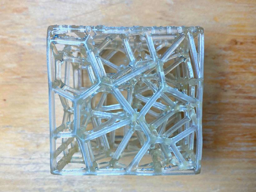
3D printed concrete blocks as modular riprap structures, placed in large quantities they disperse impacts of waves to protect against errosion.
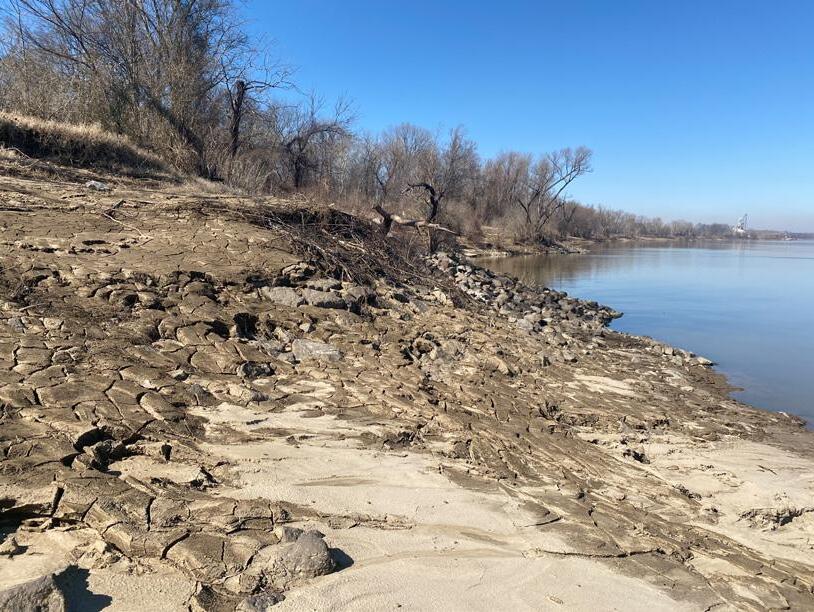
SHORELINE ERROSION
Experiments with designing through augmented reality were possible through grasshopper and fologram. The workflow allowed for real time manipulation of a digital model of the rainscreen structure that engages the river. The goal was focused on form; pulling on research from the Army Core of Engineers shapes of objects in water can reduce turbinity of water to protect areas beyond. This allowed for development of a marina in the existing cove just south of the chose site where boats would be protected from the forces of the river.
EMERGENCY HOUSING
HYDRO ELECTRIC INTAKE
READING ROOM / TACHNOLOGY
OFFICES
MARINA
AUDITORIUM
Access
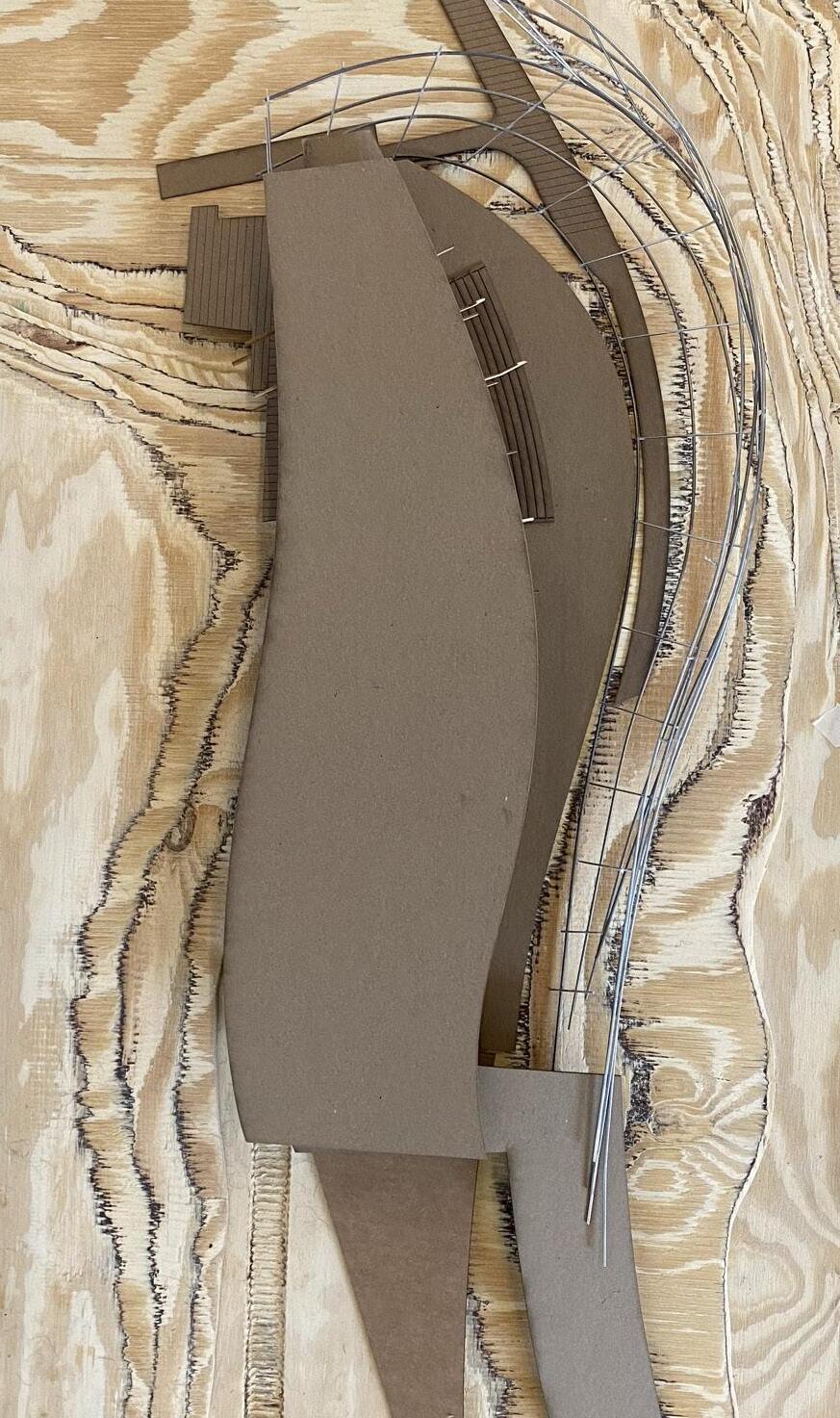
0.6 miles past the protection of the levee access to the community center needed to be a center of attention. To support the community emergency functions the program would provide systems need to be considered. There were three factors driving the design; material selection of CLT, limiting contact with the ground for environmental restoration purposes, and modularization for ease of construction and project delivery.
CORRIGATED METAL SHEATHING AND FURRING CHANNEL JOISTS
CLT FRAMING MEMBERS
PRECAST CONCRETE FLOOR PLATES FLOOR JOISTS AND DRAINAGE CHANNELS
CONDUIT AND UTILITIES
CLT MECHANICALLY FASTEN TO SEAT PLATE
MECHANICALLY FASTEN TO SHEAR PLATES
CONCRETE FOUNDATION SILL AND PILES
3d Printing Concrete
Riprap is a common tool in coastal resiliant projects but technology can potentially add a layer of environmental remediation to the role of these blocks. The idea is that the voids of the blocks would create ideal habitats for local fish smaller invertebrates that support the wildlife in the area. Increasing opportunities for wildlife in the area would bolster the environmental tourism in the area.
Edge Reclamaintion
[coastal planning]
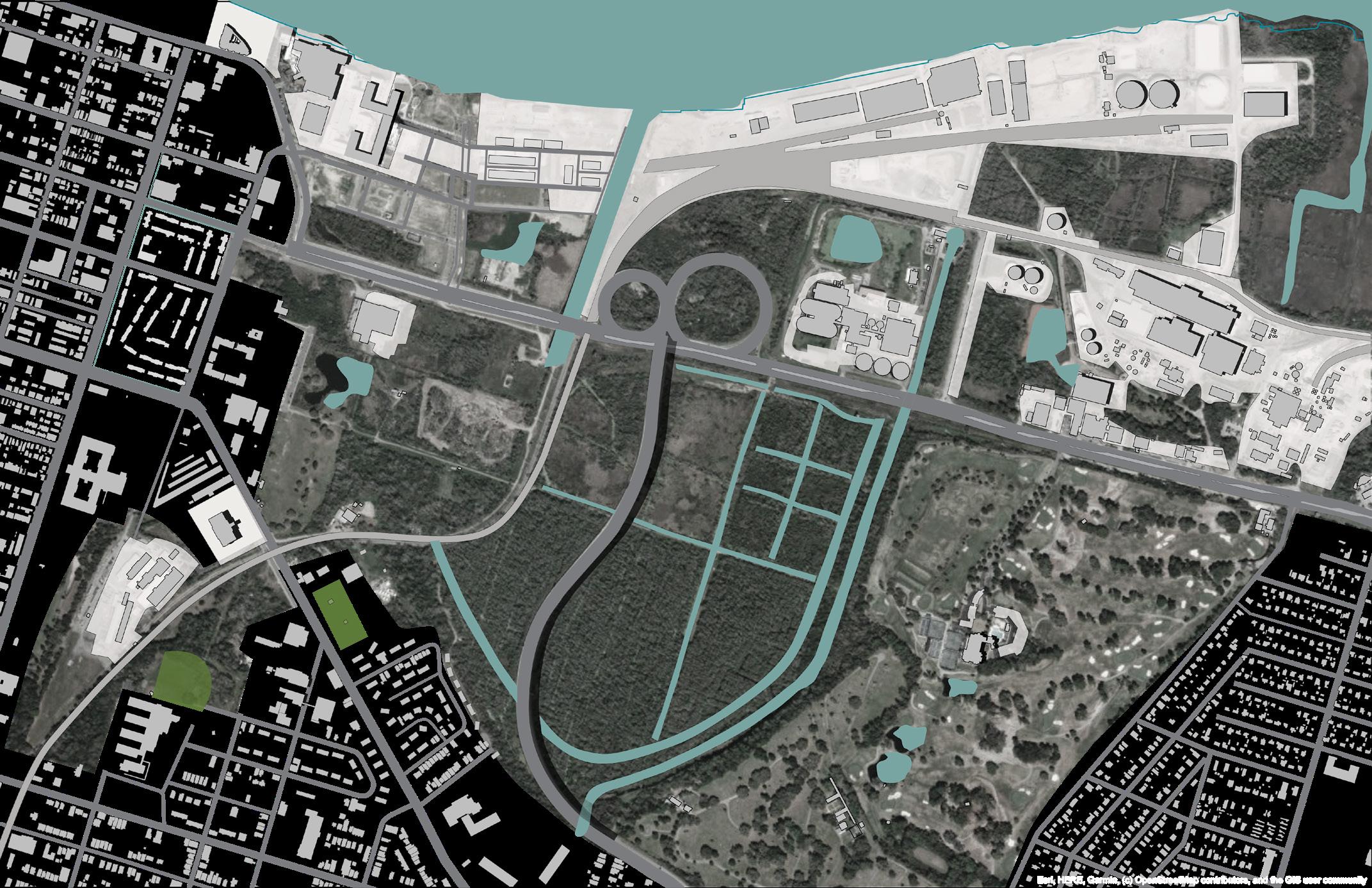
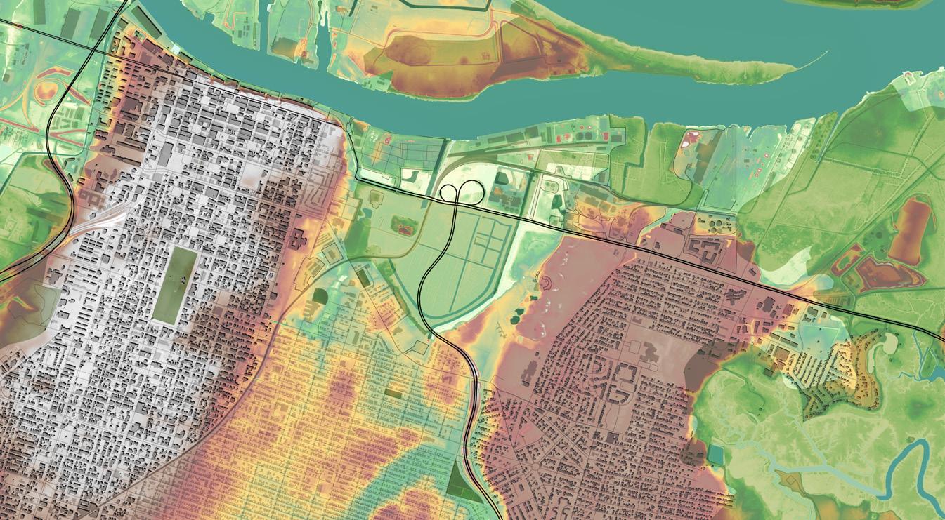
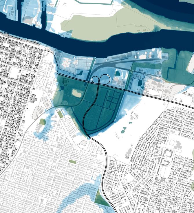
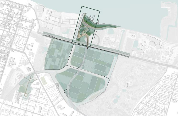
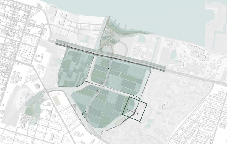
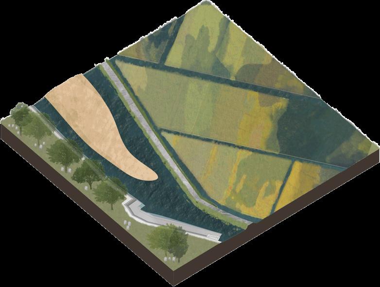
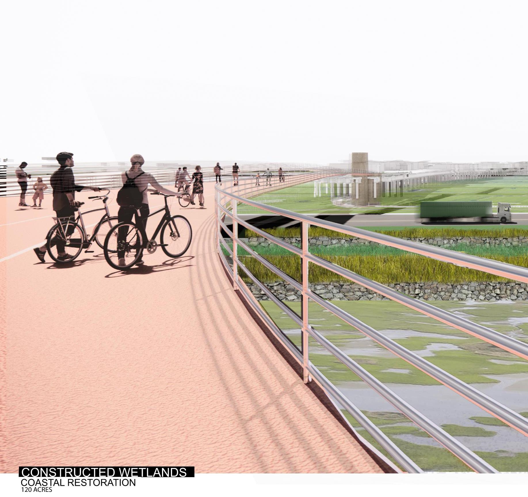
Savannah, GA Eastside gateway development plan attempts to revive a natural wetland and expand its role as a watermanagement asset to reduce impacts of Sea Level Rise. The site and industrial operations that are happening at this ancient barrier island will wash away and threaten the future of neighborhoods that the abandoned rice fields help to protect. In this transition it is imperative that the city prepares for a future that leverages the site as natural infastructure and important water managment asset. Development has no place in this natural environment but edge conditions can serve as economic drivers for this link between low income neightborhoods of the east side and the historic district.
RAISE PRESIDENTS ST.
Maintain access to evacuation route that connects tybee island back to the historic district. At 3’ it is threatened by imenent sea level rise and must be raised between the edge of the bluff at reynolds st. And the start of __ neighborhood.
INFASTRUCTURE REPURPOSED FOR FLOOD PROTECTION
When the railroad and clovers go underwater their ruins are transformed into access points to connect tourist to the eastside gateway park.
EXPAND STORM RUNOFF CONTAINMENT
The restored wetlands will collect surrounding stormwater drainage from bilbo and north casey basin relieving pressure on threats to placentia.
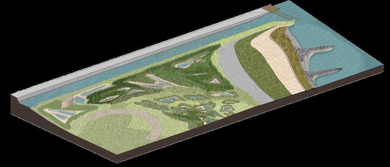
RECLAIM THE EDGES
The riverfront industry that the railroad served is converted into barrier islands that protect savannah histroic district from storm surge.
THE EASTSIDE GATEWAY SITE IS BETWEEN OGLETHORPES HISTORIC DISTRIC TO THE WEST AND THE TWICKENHAM NEIGHBORHOOD, OUTSIDE OF THE BLUFF THAT PROTECTS SAVANNAH FROM FLOODS
AT 2FT SLR EASTSIDE GATEWAY IS BATHTUB, THE AREA BETWEEN THE BLUFFS IS INUDATED AND WATER BEGINS TO FILTER INTO THE NEIGHBORHOODS SOUTH OF THE SITE.
AT 7FT SLR EASTSIDE GATEWAY IS NOW AN EXTENSION OF THE SAVANNAH RIVER, ISLANDS FOR THAT ONCE SUPPORTED INDUSTRY BUT IS NO CONNECTION BACK TO THE SUPPORTING INFASTRUCTURE.
RAISE PRESIDENTS ST.
INFASTRUCTURE REPURPOSED FOR FLOOD PROTECTION
EXPAND STORM RUNOFF CONTAINMENT
5/8’s
[interactive]
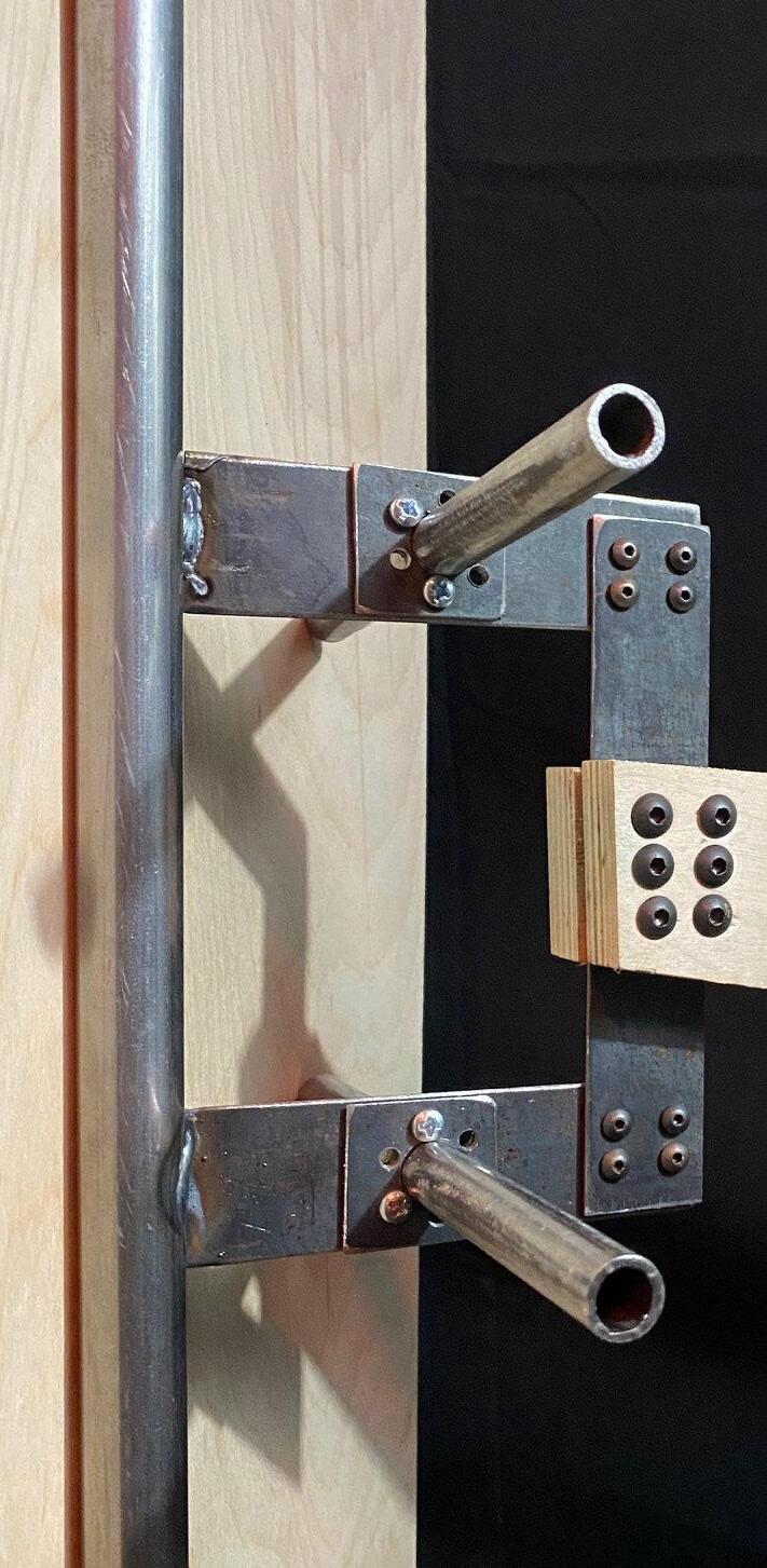
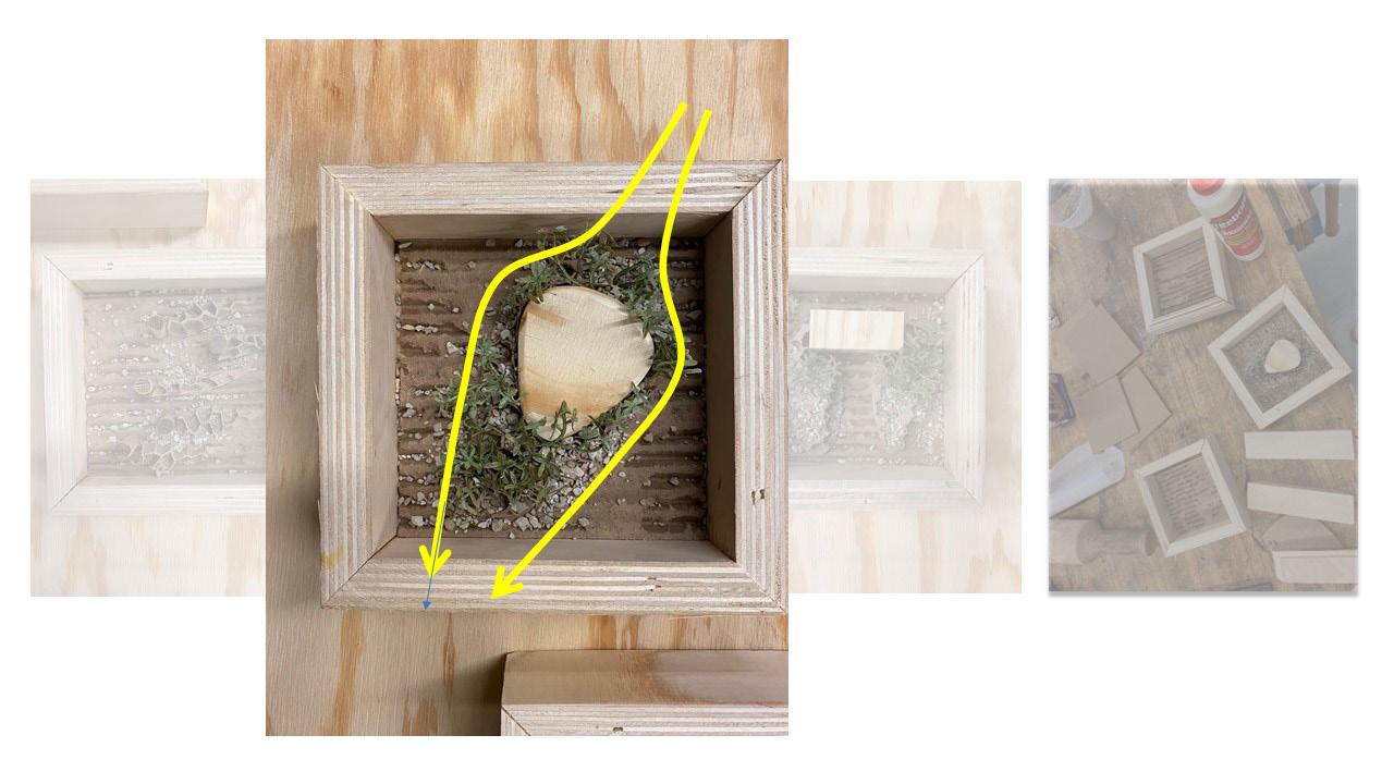
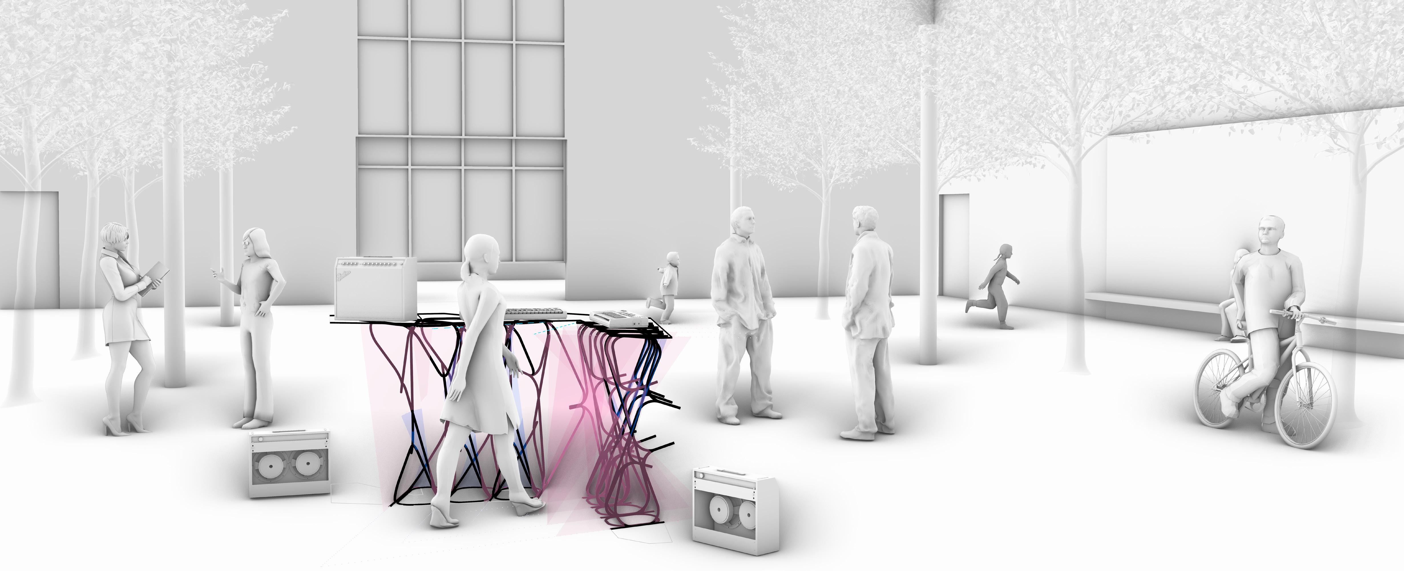
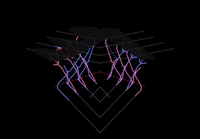
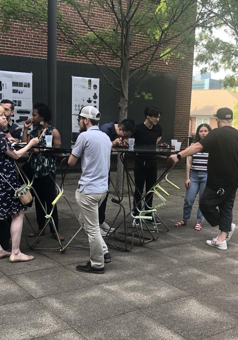
Students were asked to develop gestures using hands that could manipulate a digital model in a augmented space. That digital model would be fabricated at a one to one scale for presentation during the end of year party for the scool of
THE DJ
GESTURE 2
GESTURE 1
GESTURE 1
BOOTH
GESTURE 3
GESTURE 3
GESTURE 3
GESTURE 2
GESTURE 2



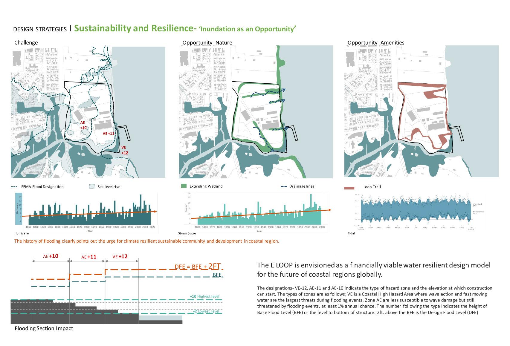
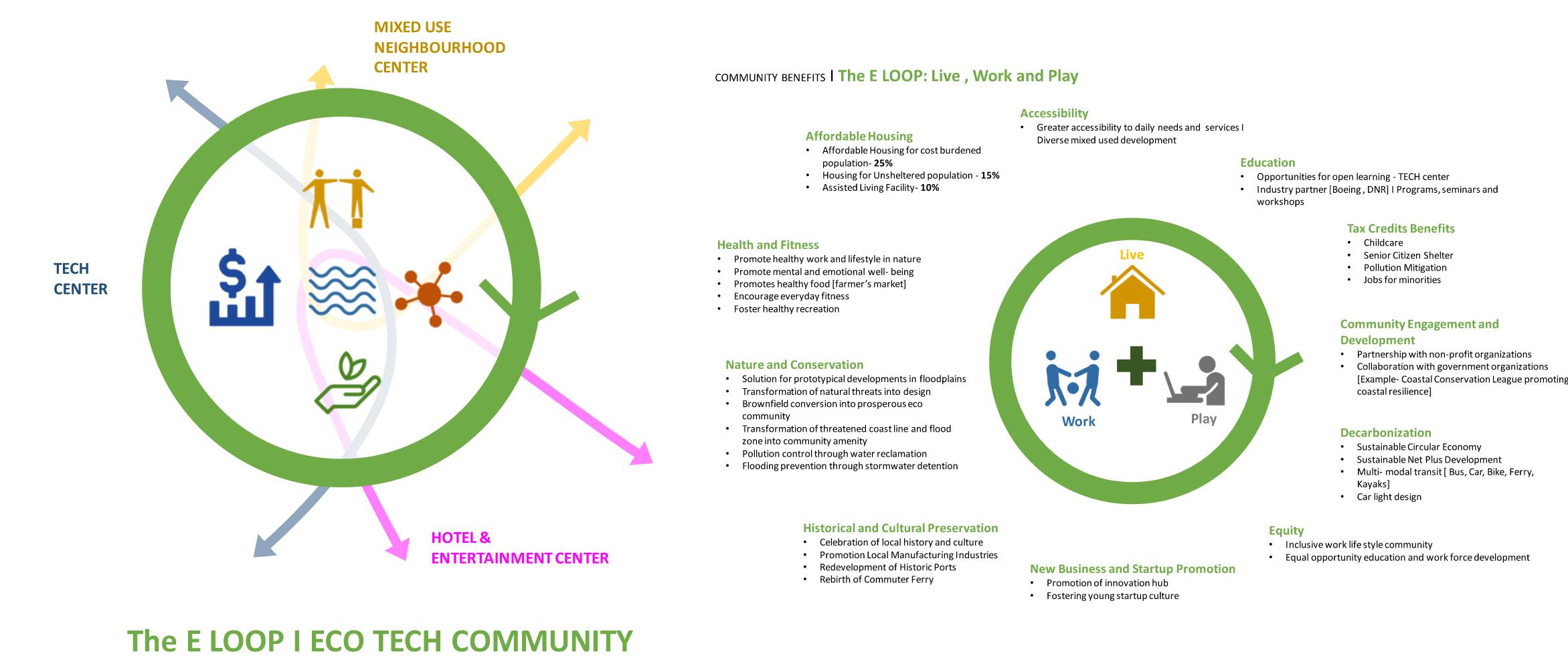
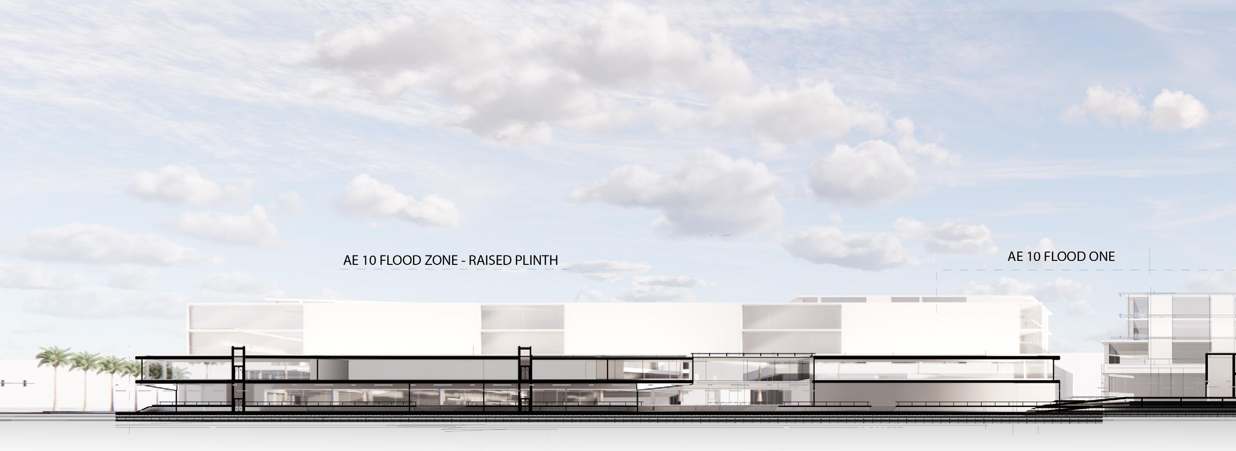
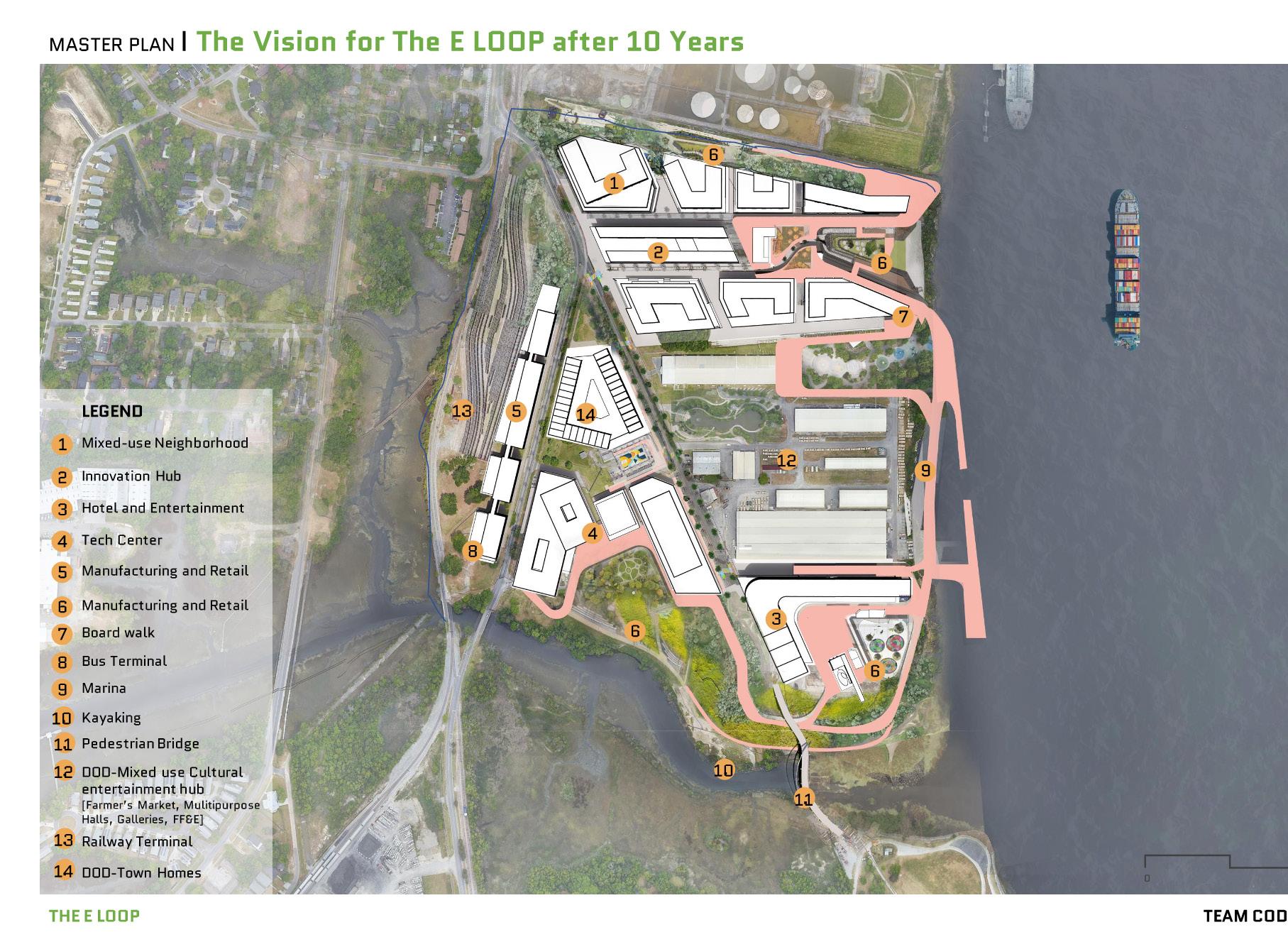
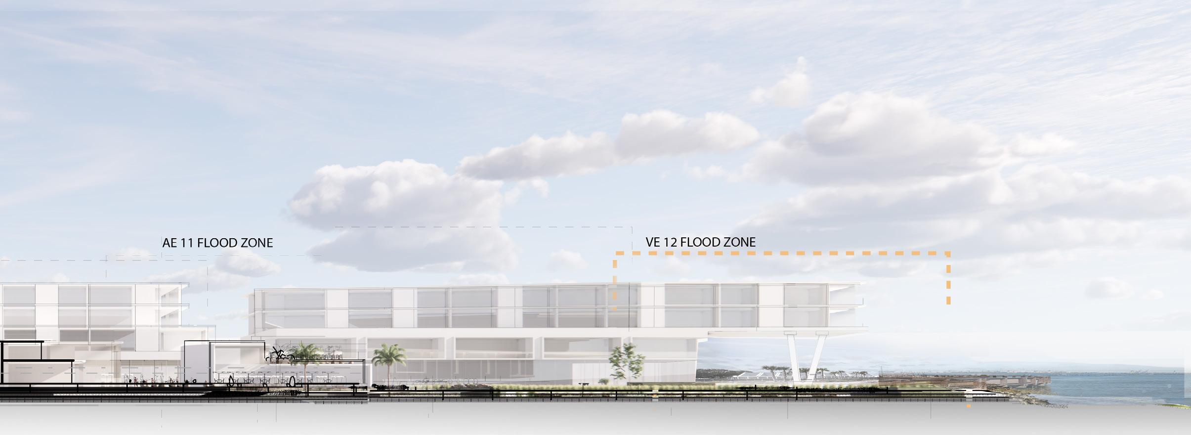
The ULI Student Competition an annual real estate develpment competition cobines disciplines of architecture, planning, development and engineering to collaborate on a comprehensive proposal. The 2023 site was North Charleston, SC and teams were asked to think about solutions for adbanoded naval ship yards along the Cooper River. In a high risk floodplain adjacent to a creek the there was a responiblity for the proposal to respond to water management of the greater North Charleston area but an opportunity to leverage natural coastal resiliance strategies as an asset to the surrounding neighborhood as a public park integrated into a tech campus supporting Boeing, a main driver of the SC economy and greater national manufacturing and research platform. The team developed a proposal that would recruit future talent, support the everyday needs of North Charelston residents and promote equality through access to what has become a privitized waterfront thanks to naval and shipping industries.
One of One
[inter-disciplinary]
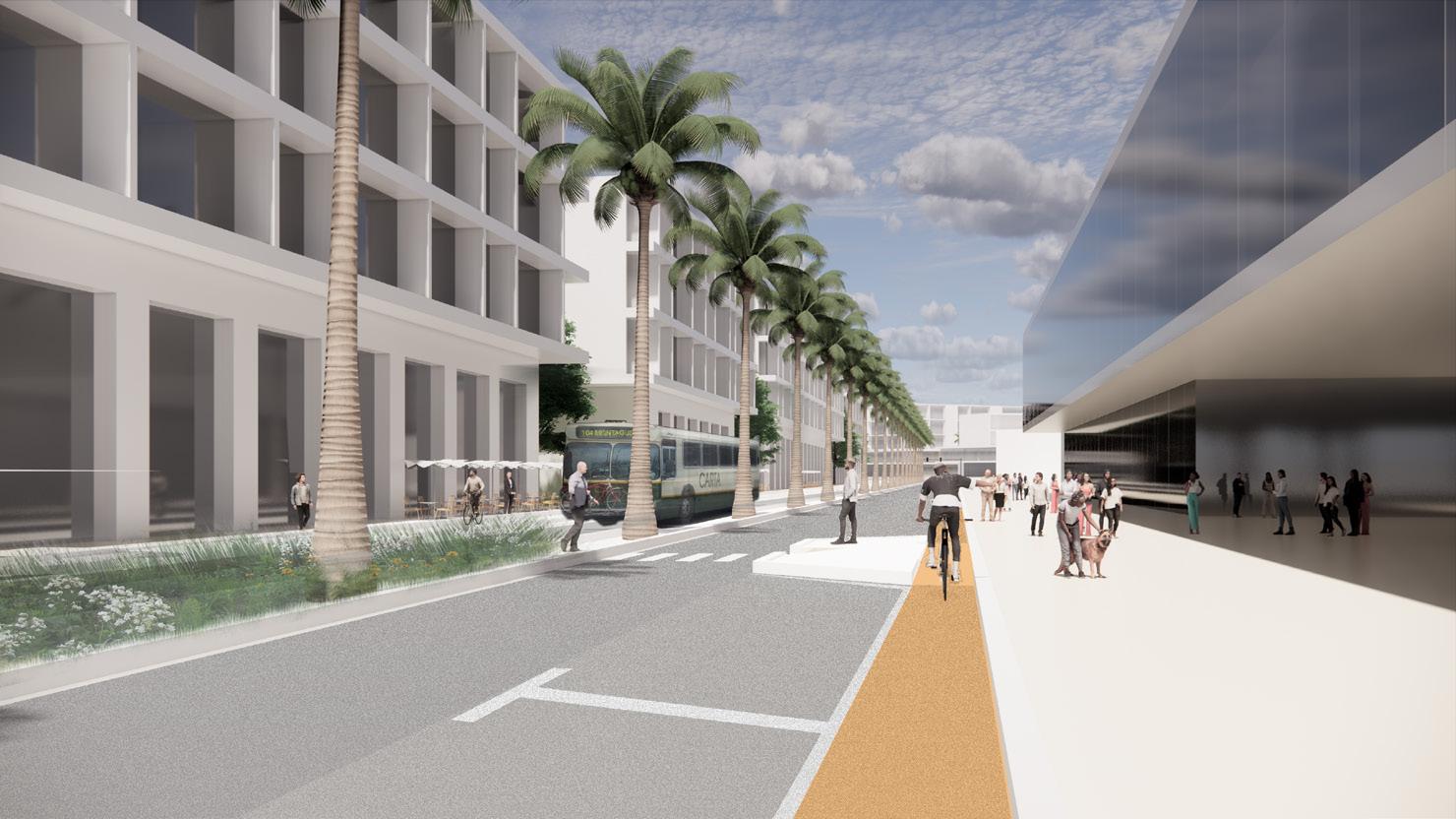
E-Loop ties into an existing public transit system and introduces the first dedicated bike lanes to Charleston to influence a car-lite development district.
The wetlands and native vegitation bleed into the site to help mitigate drainage stresses that development would impose on the delicate ecology of Noisette Creek. The vegitation helps to filter storm runoff before it reaches the surround water bodies.
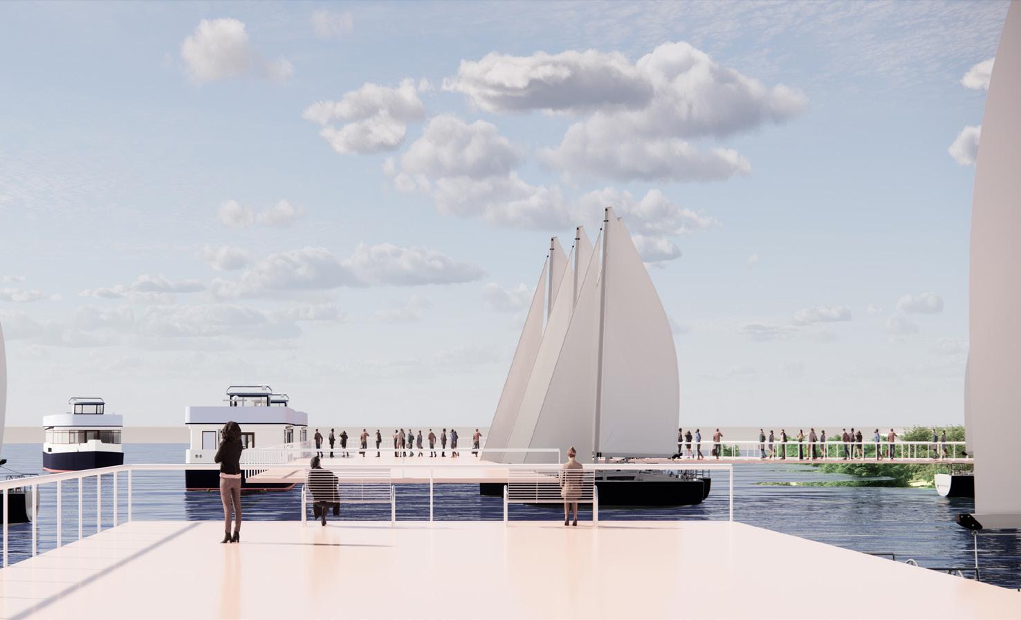
Charleston has suprisingly low access to the waterfront. US Navy and restaurants have claimed almost all the available realestate. This proposal attempts to give that access back and lean into the water as a form of transportation back to the historic city center just a few miles South.
Coastal resilient strategies are integrated into the edge conditions of the site to help protect the neighborhood from storm surge conditions that would otherwise threaten the investments made behind them. Here a breathing retaining wall helps to collect and resist inundation while providing a space for activity when drained.
