ABOUT ME

WHY URBAN PLANNING?
EMAIL: adamsmx@mail.uc.edu
Before starting my Bachelor of Urban Planning at the University of Cincinnati, during my latter years of high school, I delved into YouTube videos, online articles, and various other media forms that explored the intricate aspects of the field and related concepts in great detail. My beliefs in environmental preservation and social justice contributed to my interest in Planning, with my preferred subject discourse concerning topics related to sustainability or equality.
Through this introductory exploration, I discovered a profound interest in urban places. In addition to the amenities and opportunities urban places offer an individual, I appreciate the multifaceted field of Urban Planning. We study how, why, and where people live, work, congregate, and create in our cities. Through four years alternating semesters of classroom study with CO-OP, I’ve theorized and explored ways to foster functional spaces and equitable development for urban dwellers.
I am a determined, empathetic, and open-minded individual, and I look forward to exploring future planning related endeavors that develop my knowledge of sustainability and equality in cities.
Thank you for taking the time to review my portfolio. Talk soon,
WORK EXPERIENCE
Ricondo & Associates
May 2024 - May 2025 · Cincinnati, OH
Aviation Planner · Intern
Contributed to the development of exhibits for general aviation and large-hub airport master plans and client & public outreach meetings. Reviewed and addressed internal & client comments in public use presentations. Formatted titleblocks and presentations for effective communication. Compared existing conditions and projected trends to identify strategic locations for airport support facilities and airfield & landside road alignments. Examined acquisition documents from initial airfield plot for inventory and cataloging.
EDUCATION
University of Cincinnati
Class of 2026 · Cincinnati, OH College of Design, Architecture, Art, and Planning
Bachelor of Urban Planning. Participating in the Professional Practice Program, alternating semesters of classroom study with internship.
Adobe Suite
ArcGIS
Microsoft Suite
AutoCAD
SketchUp
Google Earth Pro Foxit
INTERESTS
Sharonville Community Development Department
August 2023 - December 2023 · Sharonville, OH Community Development CO-OP · Intern
Responded to citizens’ concerns and questions regarding site development plan & approval, zoning code, property maintenance & enforcement, and general city welfare. Conceptualized branding and place-making tactics for Sharonville’s historic city center. Attended and presented cases at monthly planning commission and zoning appeal meetings.
Bush Architects
January 2023 - April 2023 · Dallas, TX
Architect · Intern
Refined and finalized site plans utilizing numerous softwares for multi-family and commercial developments. Rendered massing models in the pre-construction phase for client bids. Performed thorough planning code analysis with municipal and county ordinances to evaluate potential development sites.
Politecnico di Milano
September 2024 - February 2025 · Milan, LOM, Italy
Master of Urban Planning Urban Planning Policy and Design Courses
Randall K. Cooper High School
August 2017 - May 2021 · Union, KY
Planning site planning, community development, urban revitalization, social justice
Professional creativity, research, lateral thinking, cooperation
Personal travel, anything outdoors, socializing, self-improvement
ACHIEVEMENTS
DAAP Dean’s List
UC National CO-OP Ambassador
UC International Study
Abroad Scholar
Red Cross CPR Certified
FALL 2021 - FALL 2024
pg. pg. pg.
BOLZANO REGION
STRATEGIC PROPOSAL
SOUTH FAIRMOUNT
URBAN DESIGN PROPOSAL
TRANSPORTATION PLANNING CASE STUDY
20
24 pg. pg. pg.
PLACE-MAKING
CONCEPTUAL BRANDING
RESIDENTIAL & MIXED USE SITE PLANNING
22 OTHER WORKS & NON-PROJECTS
BOLZANO REGION
STRATEGIC PROPOSAL
GROUP · STUDIO · FALL 2024
DEFINING OUR STUDY
Bolzano, in Northern Italy’s Sud Tirol region, sits at the crossroads of German and Italian cultures, creating a complex urban and linguistic landscape. Our goal is to understand and respond to local social cues, with strategies focused on fostering inclusion among residents, seasonal workers, migrants, and the unhoused.
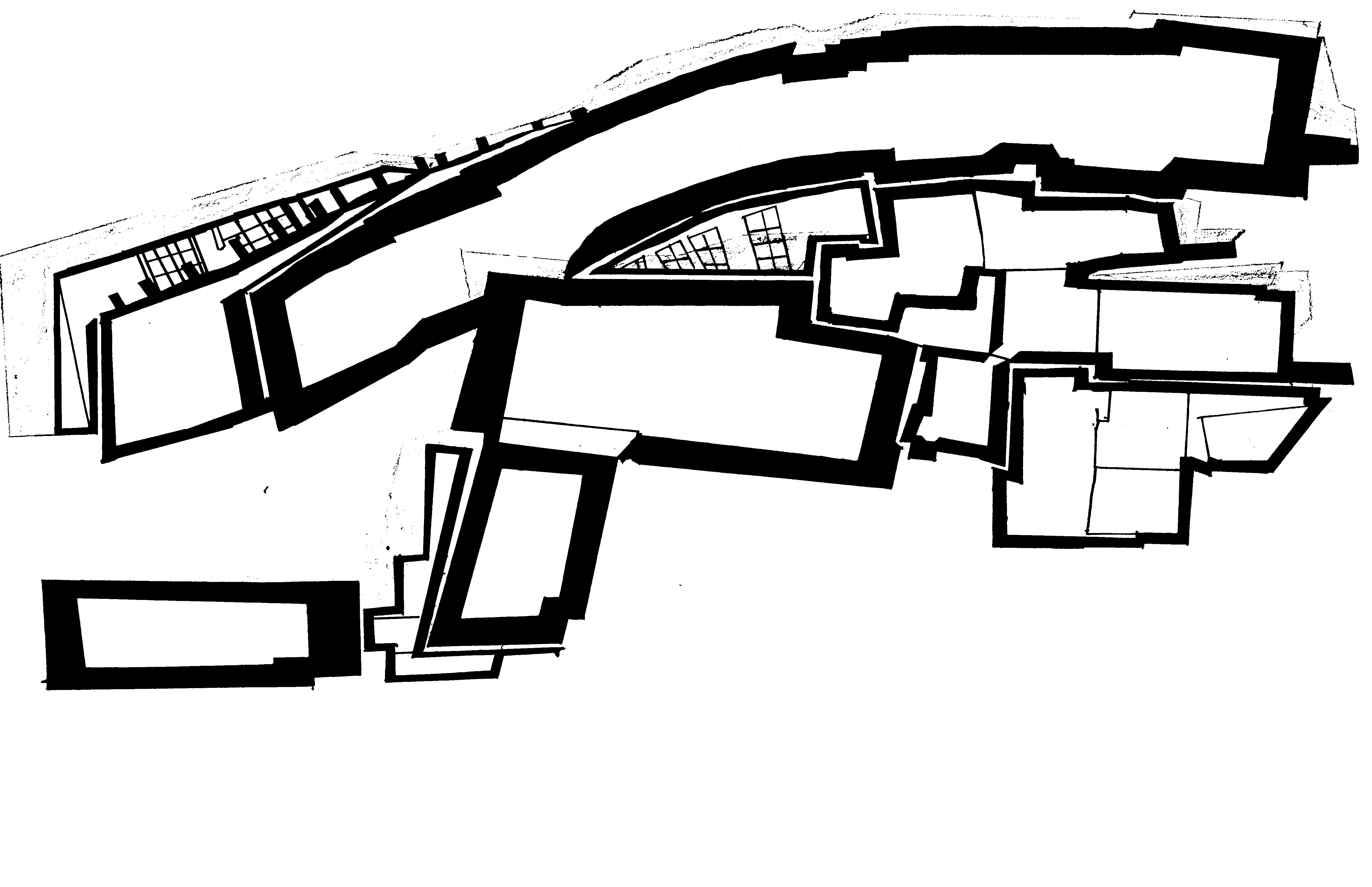
ANALYTICAL MAP
CONTEMPORARY ITALIAN
GERMAN CENTRE
INDUSTRIAL LAND
FRAGMENTED LAND
AGRICULTURAL FIELD
Bolzano is broken into three distinct neighborhoods: The Old German Centre, Contemporary Italian, and Industrial. They lack a common identity, and are only joined by the physical links that cross the Adige River. Additionally, cultural services and amenities are concentrated exclusively in the City Centre. Base QGIS map exported into Illustrator.
2070 TREND SCENARIOS
RESIDENTS
• Population increases, then eventually declines to settle at 110,000
• Elderly residents (65+) compose nearly 40% of the population
• Increasing urban density from rural areas, leading fears of higher housing costs and gentrification
SEASONAL WORKERS
• Automation reduced demand for manual seasonal works: 3,000 (2045) - 2,000 (2070)
• Seasonal workers are hired on to tech driven or hybrid based positions
IMMIGRANTS
• Bolzano’s immigrant population stabilizes at 40,000 (36%) of population
• Immigrants reside in all neighborhoods
UNHOUSED
• Homeless populations falls substantially between 2024 and 2075 (-600)
• Economic precarity still exists between different residents groups, homeless most impacted
Vignettes drawn by Dorota Gontkovicova
Step 02 GO BEYONG HOUSING
ADDRESSING VULNERABLE GROUP NEEDS IN BOLZANO
Step 05 COMBINE INSIGHT AND DATA
Gather detailed maps of service locations and firsthand accounts from residents and workers for a full picture of needs.
Step 06 EMPHASIZE GLOBAL CONNECTIONS
Other multicultural cities share their approaches to integration and offer insight to Bolzano
Analyze access to primary and local services geared toward religious, linguistic and cultural diversity.
Step 03
TACKLE LOCAL CHALLENGES
Investigate issues unique to Bolzano, like the availability of inclusive services and how these needs can reflect wider urban challenges.
Step 01
ADDRESS URGENT LOCAL NEEDS
Focus on the pressing housing, work, and service needs of Bolzano’s immigrants, seasonal workers and unhoused populations.
Step 08 BE OPEN TO SENSITIVE ISSUES
Examine sensitive topics, like homelessness and service access, with a flexible approach
Step 07 FOCUS INTENSELY ON IMPACT
Utilize interviews and mapping within a short period to produce practical, actionable insights on social inclusion
Step 04 PROPOSE INCLUSIVE SOLUTIONS
Identify ways to improve Bolzanos support infrastructure, particularly for marginalized and transient groups.
Step 09 INDEPENDANCE AND FLEXABILITY
Adopt contemporary and newly formulated methods to respond creatively to Bolzano’s unique social fabric
Step 10 COMMUNICATE NEEDS VISUALLY
Use maps, diagrams, renderings, and other modes of visual aids to clearly communicate the needs of vulnerable populations
URBAN DESIGN ELEMENTS
Urban design elements were shaped by the needs of vulnerable groups and influenced by previously successful interventions. The icons represent design features—like dimensions, facades, and aesthetics—that address current issues, support residents’ needs, and foster social cohesion. These elements reflect longterm strategies tailored to vulnerable communities. Vignettes modeled in SketchUp
SITE SPECIFIC INTERVENTIONS
CULTURAL MUSEUM FLEXIBLE HOUSING
Massing models rendered in SketchUp, illustrated by Tokka Mohamed
CULTURAL ACADEMY
CENTRAL BOLZANO
SOUTH-INDUSTRIAL BOLZANO
BOLZANO’S FUTURE - CONCEPT MAP
Bolzano will be united through ways of mobility and accessibility. Residents of various racial, ethnic, and cultural backgrounds will coexist and collaborate in affordable and desirable housing, and will share common services and amenities that are evenly dispersed throughout the city. Additionally, future development and growth will contribute to a seamless transition between urban, rural, and natural landscapes. Base QGIS map exported into Illustrator.
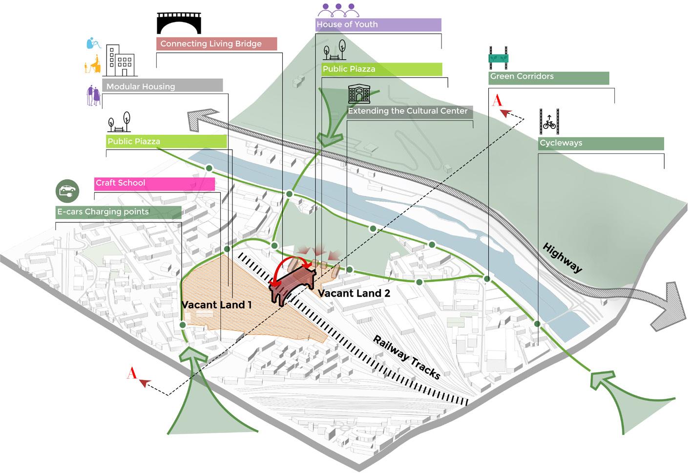
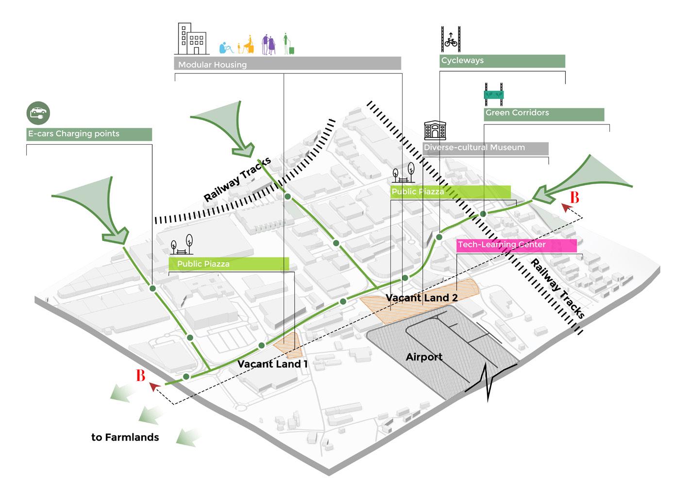
SOUTH FAIRMOUNT
URBAN DESIGN PROPOSAL
INDIVIDUAL · STUDIO · SPRING 2024
STUDIO PROGRAM
The Lick Run Greenway is a stormwater and sewage overflow manager. It’s green design, being daylighted and landscaped, is being leveraged as a catalyst for development in the South Fairmount neighborhood of Cincinnati, OH. In this studio, we were tasked with utilizing urban design to envision a preferred scenario for South Fairmount, incorporating principles of sustainable development and equitable policy execution.
SOUTH FAIRMOUNT VISION
SOUTH FAIRMOUNT EMERGES AS AN ENVIRONMENTALLY CONSCIOUS, HARMONIOUS, AND WELL PLANNED NEIGHBORHOOD THAT TAKES ADVANTAGE OF ITS NEW FOUND AMENITIES, SERVICES, AND ENVIRONMENTAL ELEMENTS TO BENEFIT CURRENT RESIDENTS
SOUTH FAIRMOUNT CURRENT CONDITIONS
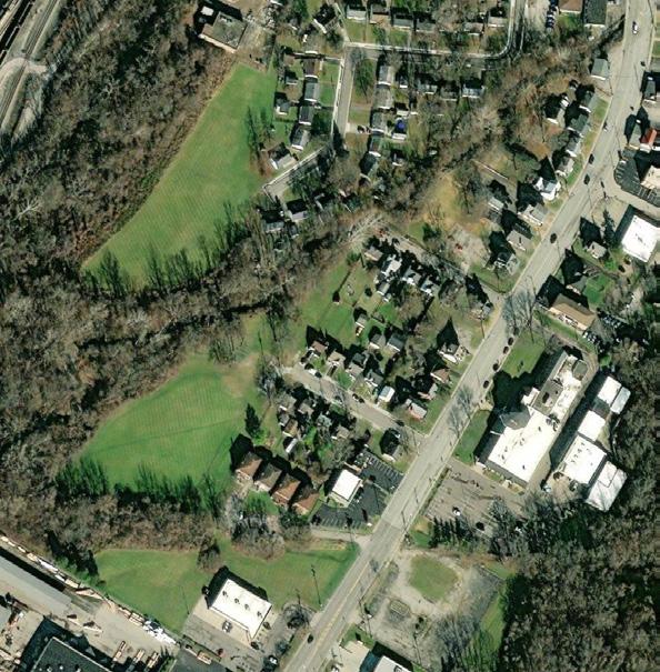
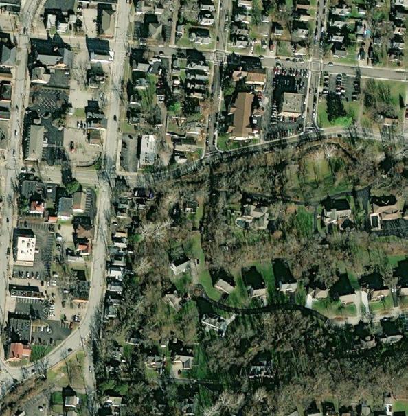
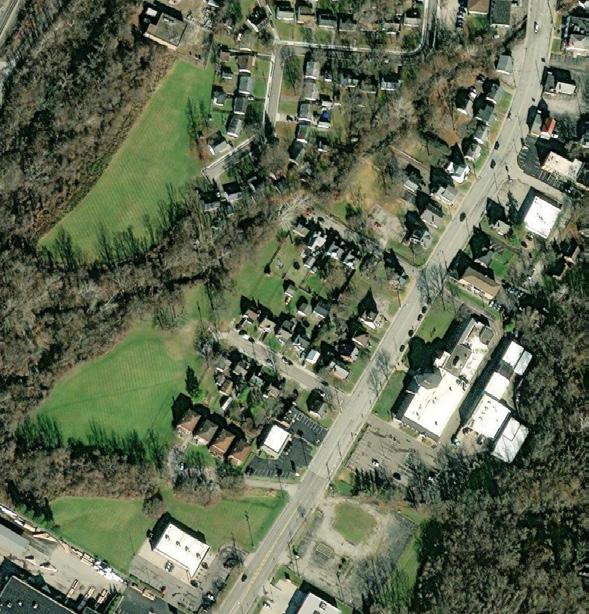
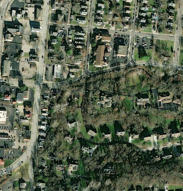
HIDDEN STREAM NETWORK
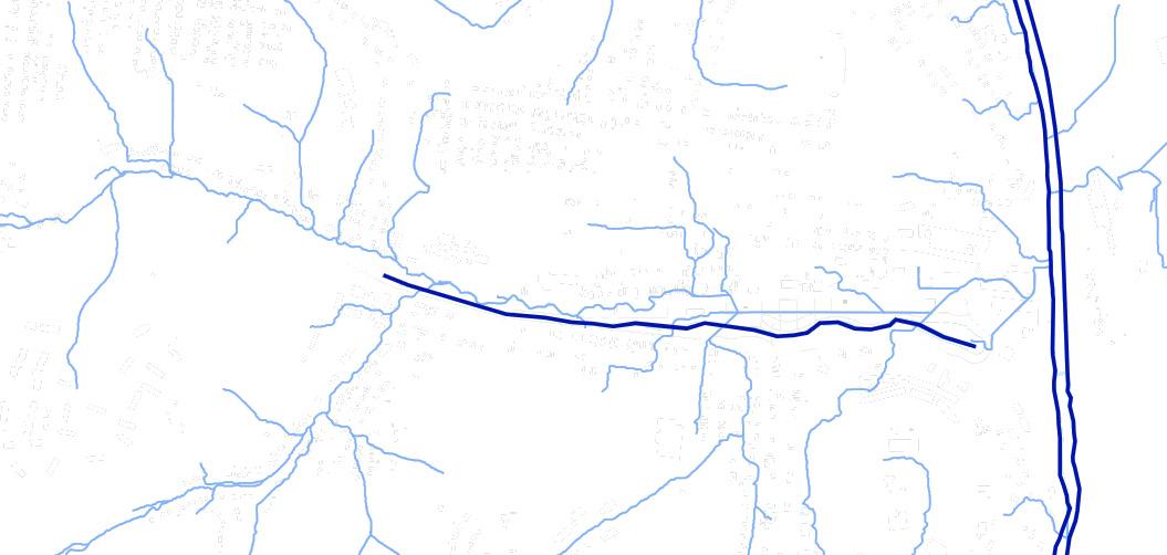
COVERED STREAMS UNCOVERED STREAMS
SOCIAL VULNERABILITY
South Fairmount has a High Social Vulnerability Index score, cased by the neighborhood’s high poverty rate and low median income (Per 2020 Census). PERCENT
$19,343 MEDIAN HOUSEHOLD INCOME
13/100 REDFIN WALK SCORE
19.5% HOUSING VACANCY RATE
/per 1K
26.7%
Map created in ArcGIS Pro
ECO-FIRST DESIGN
COMMUNITY-LEAD
CONSCIOUS REHAB PROXIMITY
ADAPTIVE REUSE
6 TENETS OF URBAN DESIGN
A collection of urban design principles that are applicable to the improvement of South Fairmount’s current conditions. These principles align with preferred design intentions and self-identified good qualities of urban spaces. Vignettes created in Illustrator
PROXIMITY
Infill development with structures and natural spaces to bridge gap in the urban landscape.
HUMAN-SCALE STREETSCAPES
Creating safe street conditions and building to human-scale to improve a pedestrians experience.
CONSCIOUS REHAB
Renovating all homes with quality construction materials, and cleaning up surrounding property
ECO-FIRST DESIGN
Total harmony between urban landscape and natural elements
COMMUNITY-LEAD INITIATIVES
Residents providing input towards the design and aesthetics of neighborhood environment, in addition to assisting the construction of community structure
ADAPTIVE REUSE
Outfitting industrial sites for modern manufacturing, warehousing, and other low impact industrial practices.
VALUES
Aesthetic Consideration
Improving the aesthetics of the neighborhood to boost neighborhood morale.
Equity
Every inhabitant and household should have equal access to and mutually benefit from improvements.
Environmental Conscious Design
Uncovered streams, the Lick Run Greenway, terrain, and sustainability should all be considered in the revitalization of the neighborhood.
STRATEGIES
An equal dispersion of strategies across South Fairmount will fill gaps between existing structures, and connect their existing and future uses with investments in pedestrian infrastructure.
DAYLIGHTED STREAMS
NEIGHBORHOOD CENTRE
RESIDENTIAL PARCEL
RESIDENTIAL AND COMMERCIAL MIX
WIDENED SIDEWALKS
SITE SPECIFIC ADAPTIVE REUSE GENERAL ADAPTIVE REUSE
Concept Maps drawn over AutoCAD base in Illustrator


SOUTH FAIRMOUNT - LICK RUN GREENWAY CENTERED SITE PLAN


BLOCK GRID
• Creating a grid-street pattern block layout
• Road diet on Westwood, Queen City & Harrison Ave
• Placing 10-foot sidewalks on major roads, and 5-foot sidewalks on minor streets
• Eliminating dead end streets
• Eliminating several minor roads to make way for uncovered streams
Site Plan drawn over AutoCAD Base in Illustrator
WHAT DO PROPOSED SOLUTIONS LOOK LIKE?


FIGURE GROUND OPEN SPACE LAND USE & ZONING
• Preserving dense tree cover in forested areas
• Increase tree cover with sidewalk & pathway trees in recreation areas
• Reduce open space with infill development
• Increase amount of public green space
• Reduce amount of brownfield parcels
• Increasing density through infill development
• Reducing setbacks fronting all roads
• Constructing multi-family developments
• Uncovering streams on Rankin St and Grande Ave
• Creating a uniform building envelope for single-family and multi-family buildings
• Increasing density through upzoning
• Rezoning main roads and natural amenities adjacent parcels to pedestrianoriented classifications
• Rezoning Lick Run Greenway exclusively to parks and recreation land use classifications
RANKIN ST. & MONTROSE AVE. CROSS SECTION
EXISTING CROSS SECTION
DESCRIPTION
A 2-D cross section illustrates the improvement in facade aesthetics and overall built environment after introduction of strategies. Dimensions assembled in AutoCAD, detailed in Adobe Illustrator
PROPOSED CROSS SECTION
Rankin St. near Montrose and Harrison Ave. hosts several delinquent and unkempt single-family, private properties. Vegetation is bountiful but unmanaged. Interventions imagine a walkable, mixed use environment

MONTROSE
WICKMAN
RANKIN ST. & WICKMAN AVE. CROSS SECTION
EXISTING CROSS SECTION
DESCRIPTION
A 2-D cross section illustrates the improvement in facade aesthetics and overall built environment after introduction of strategies. Dimensions assembled in AutoCAD, detailed in Adobe Illustrator

PROPOSED CROSS SECTION
At the intersection of Rankin St. and Wickman Ave. features unmanaged vegetation and few residences. The uncovered stream featured at Montrose Ave. flows down the hill towards Wickman Ave., featuring pedestrian pathways and multi-family accommodations. Occupied existing residences are preserved.
THE STATS
Existing Stock
114 housing units totaling 243,500 SQFT
Development Additions
236 multi-family housing units totaling 229,375 SQFT
49 singly-family housing units totaling 95,250 SQFT
27, 670 SQFT of commercial and office space
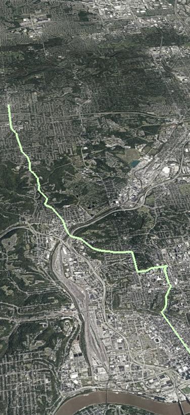
TRANSPORTATION PLANNING CASE STUDY
GROUP PROJECT · STUDIO · SUMMER 2023
BUS RAPID TRANSIT IN CINCINNATI
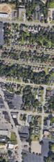
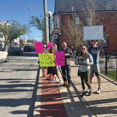
Cincinnati’s Metro Bus studied corridors suitable for Bus Rapid Transit (BRT) services. Hamilton Avenue was identified as a potential primary corridor, with connections from Downtown Cincinnati to The University of Cincinnati’s Main Campus, and several northern suburbs of Cincinnati. The BRT hopes to improve bus service in neighborhoods, and significantly reduce travel times between them. The BRT is also anticipated to reduce vehicle emissions and traffic congestion, while simultaneously supporting economic growth by encouraging transit-oriented development.
MISSION STATEMENT
THE HAMILTON AVENUE BRT WILL BE SUPPORTED THROUGH DENSIFYING THE CORRIDOR, WHILE SIMULTANEOUSLY STRENGTHENING THE DIVERSE AND VIBRANT COMMUNITIES THAT EXIST ALONG THE ROUTE.
STRATEGIES
Densifying the corridor cannot happen without measurables that will define progress. The strategies listed below will support our mission, and support intentionally designed neighborhoods that host diverse urban landscapes and destination designated business districts.
INFILL
Development or redevelopment of vacant or underutilized land within a built-up area. This method increases density without expanding the urban footprint into natural land.
Empty lots with higher property values should be developed first 1 2 3 4
Parcels along Hamilton Ave. should have a high building coverage ratio
To promote walkability, a block should have a perimeter no longer than 2,000 feet
UPZONE GRADATE
Upzoning in a neighborhood consists of decreasing of setbacks and adding floors to existing buildings. This is best suited for areas with a pre-existing urban fabric.
ILLUSTRATION
Any barren lots without a demand for build-up should be converted into green space
Hypothetical brownfield and greenfield lots (red) are infilled with buildings matching the height and dimension characteristics of buildings nearby.
Rezone residential parcels from single-family to residential-mix 1 2 3 4
18% of housing structures directly adjacent to Hamilton Avenue will have >50 units
2,200 to 4,000 more housing units will be needed to support the neighborhoods
25% of units will be rent controlled
A gradated development pattern is the sloping of density from a core area. Areas with gradated development have dense nodes that naturally decrease as they get further from transit.
Parcels along Hamilton Avenue should have a Floor-Area ratio of over 1
Eliminate parking requirements around transit stops
Location efficiency in regard to high intensity use- center these uses around transit stops
Maintain a uniform population density across census blocks with similar typologies
UPZONE ILLUSTRATION
Proposed building additions (green) are placed atop single story structures along Hamilton Avenue.
GRADATE ILLUSTRATION
Taller structures are placed on Hamilton Avenue, and decrease in height until we reach single-family homes, several blocks from Hamilton Avenue.
Model created by Sean Kidd in SketchUp
NEIGHBORHOOD LEVEL STRATEGICAL INTERVENTION
COLLEGE HILL, CINCINNATI


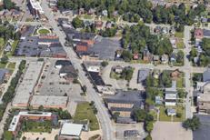

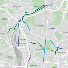
COLLEGE HILL CONDITIONS KEY TAKEAWAYS
College Hill has an already established businesses district, active and well-funded development corporation, and a high occupancy rate. At the same time, its population continues to grow, as does business. College Hill needs to capitalize on these strengths, while taking advantage of opportunities, for the neighborhood to effectively support a Bus Rapid Transit system.
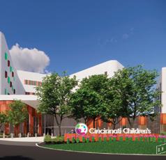
HEALTH DISTRICT MASTER PLAN
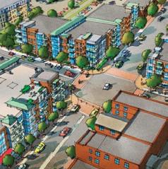
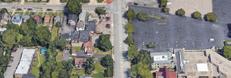
A six story, 90 - 100 unit, mixed-use condominium with a 15,000 SQFT footprint will share the same site as The Children’s Hospital, College Hill Campus. The structure will house retail on the bottom, and a Outdoor deck for residents. Since all residential parcels were upzoned to Multi-Family, multi-family housing structures have popped up in lots recently acquired by developers. Rendering made in SketchUp, collage created in Photoshop.
CONDOMINIUM STATS
• SIX STORIES
• 100 UNITS
• MIXED USE
• 15,000 SQ FOOTPRINT
MIXED USE CONDOMINIUM
CONCEPTUAL COLLAGE
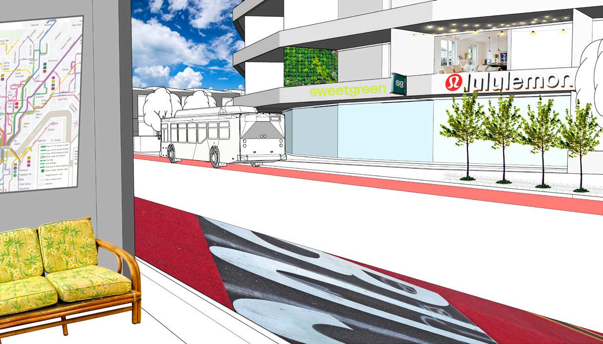
BRT SHELTERED STOPS
PLACE-MAKING CONCEPTUAL BRANDING
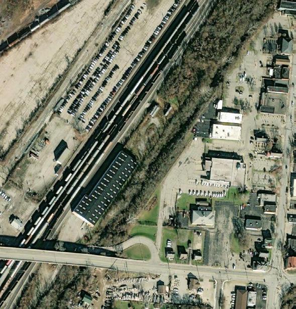
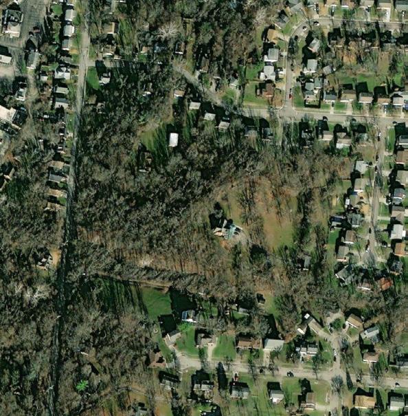
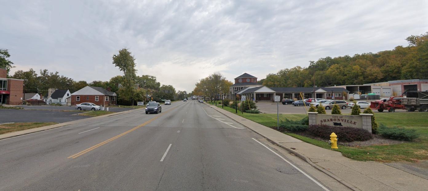
CITY OF SHARONVILLE · CO-OP · FALL 2023
SHARONVILLE’S DESIGNATED OUTDOOR REFRESHMENT AREA (DORA)
Sharonville’s DORA (Designated Outdoor Refreshment Area) follows the general boundaries of Sharonville’s historic downtown. Inside the boundary, patrons can purchase grab-and-go drinks from liquor-serving participating locations. This allows patrons to safely explore Sharonville’s Downtown.
The Community Development Director, John Creech; City Planner, Gabriel Rhodes; and I schemed through in-person discussions on strategies to bring visibility to the amenities offered on Sharonville’s Main Street.


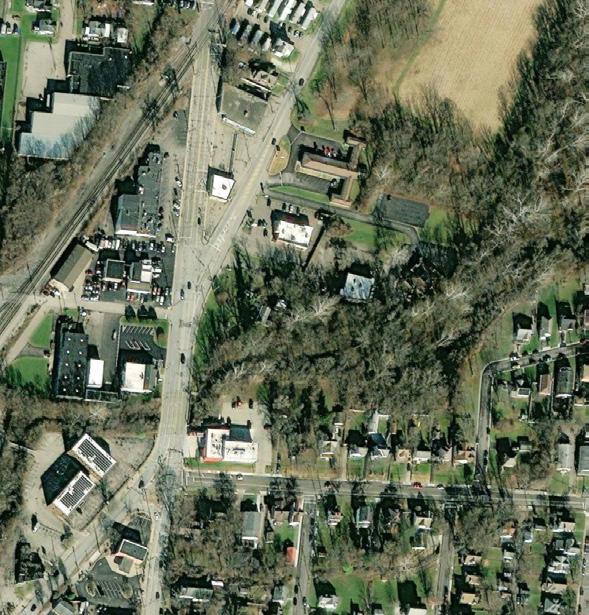


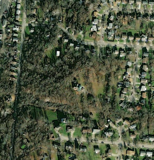
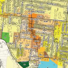
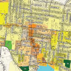
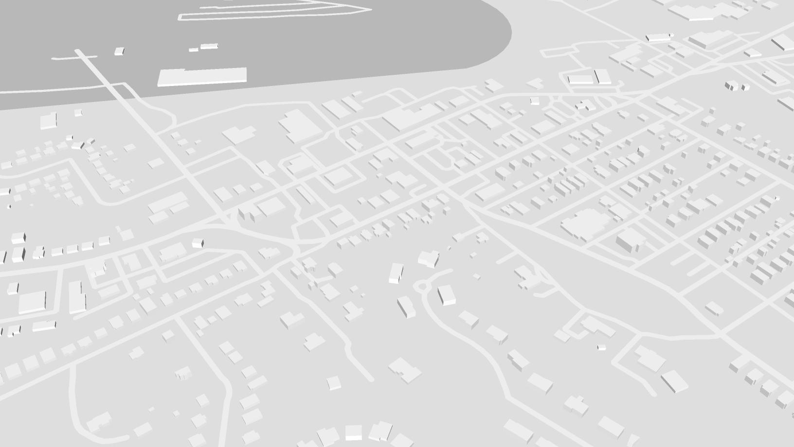
DORA SATELLITE MAP
Participating establishments in Sharonville’s DORA program highlighted using associated logos. Design is uniform with development maps found on Sharonville’s website. Satellite imagery and boundary from ArcGIS Pro. Elements added in Illustrator


DORA MASSING MODEL
Participating establishments in Sharonville’s DORA program highlighted using associated logos. Created using CADMapper, SketchUp, and Illustrator
GATEWAY ARCH BRANDING TACTIC
The Community Development Department presented this rendering (created in Adobe Illustrator) as a plausible design of a Gateway Arch on Reading Road to the Sharonville City Council

Brij Mohan
ANGILO’S PIZZA
& MIXED
USE SITE PLANNING
BUSH ARCHITECTS · CO-OP · SPRING 2023
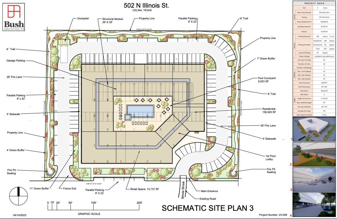
CELINA, TX MULTI FAMILY SITE PLAN*
I contributed to plan landscaping and hatchings in AutoCAD, incorporating clientrequested layout changes. Shaded hatchings were used to help visualize how lines formed shapes. I also created massing models utilizing SketchUp to show building scale, highlighting a four-story structure with ground-floor retail, parking, and lobby, and upper-floor residences surrounding an open-air pool deck.
TYLER, TX MIXED-USED SITE PLAN*
I ensured proper parking alignment, added a retention pond, and introduced a two-acre commercial site, which required realigning the pool deck, clubhouse, and condos. I adjusted unit counts and building layouts to meet client preferences and incorporated pickleball courts into the landscape design. Site plan was created using AutoCAD
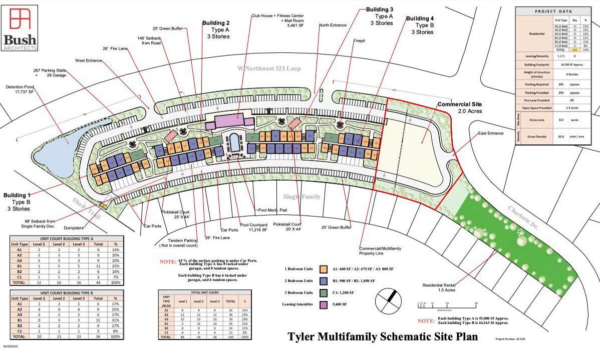
*NOTE: File could not be imported PDF, so JPEG type was selected. This may affect
OTHER WORKS & NON-PROJECTS
A collection of pieces from earlier studios & other course projects, and personal creative endeavors related to the planning realm and beyond
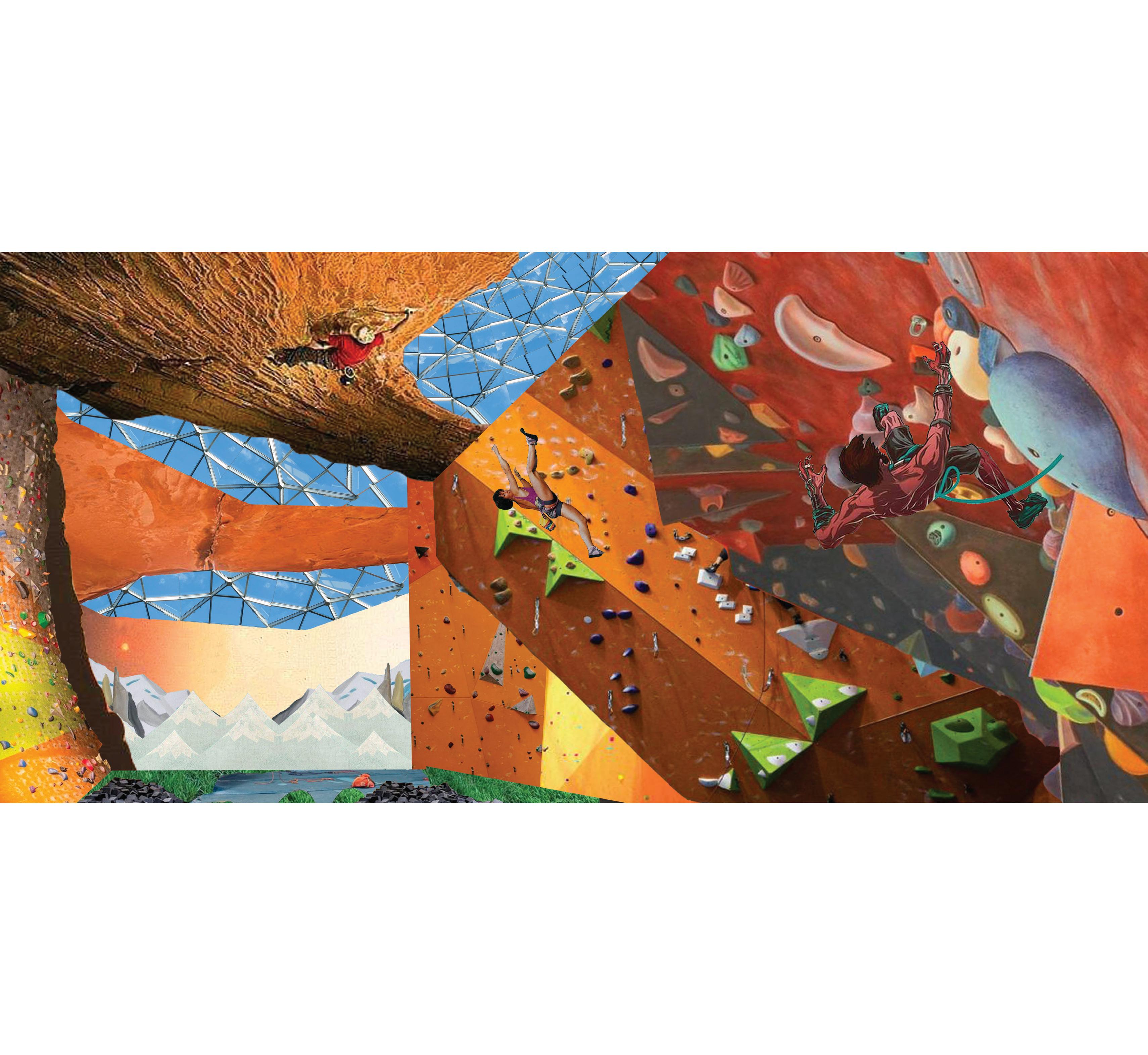
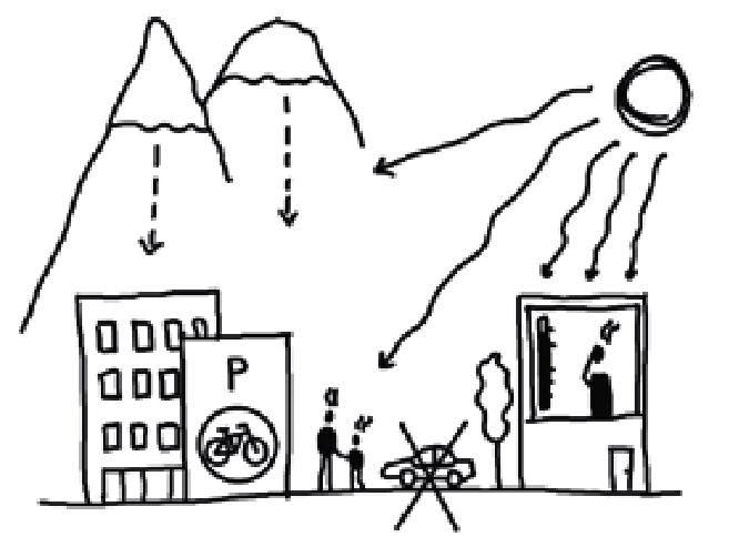
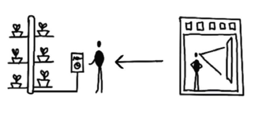
ROCK CLIMBING COLLAGE
While I am not an avid rock climber by any means, I find the activity thrilling and rewarding. I know the value of an accessible and well managed gym, and I’ve always theorized what their presence would mean for communities. This collage was part of a studio with an overarching narrative relating to urban revitalization. With plenty of underutilized in our case study neighborhood, I proposed constructing a rock climbing center & gym. Collage was complete in Photoshop.
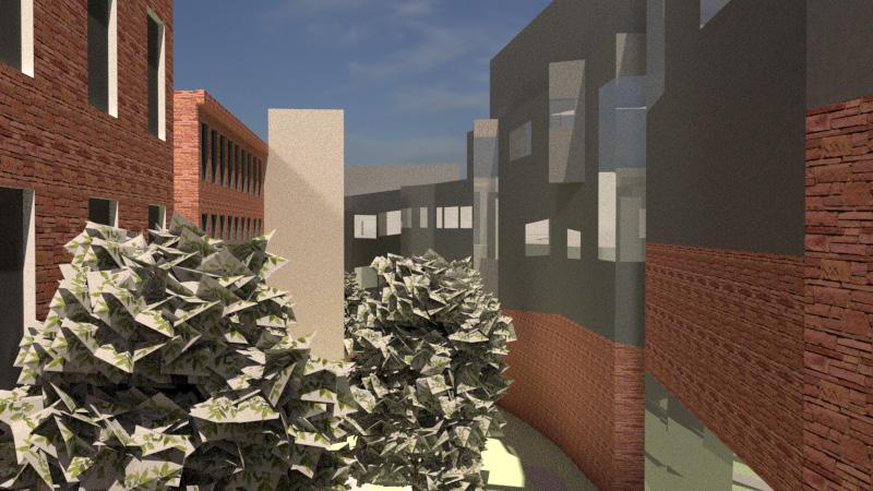
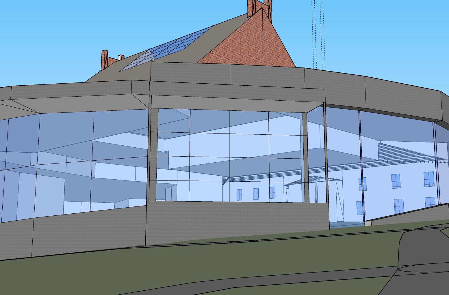
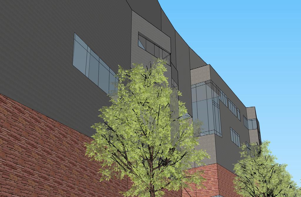
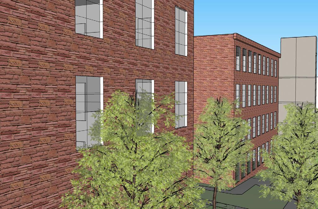
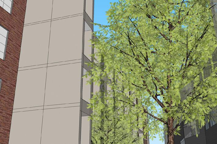
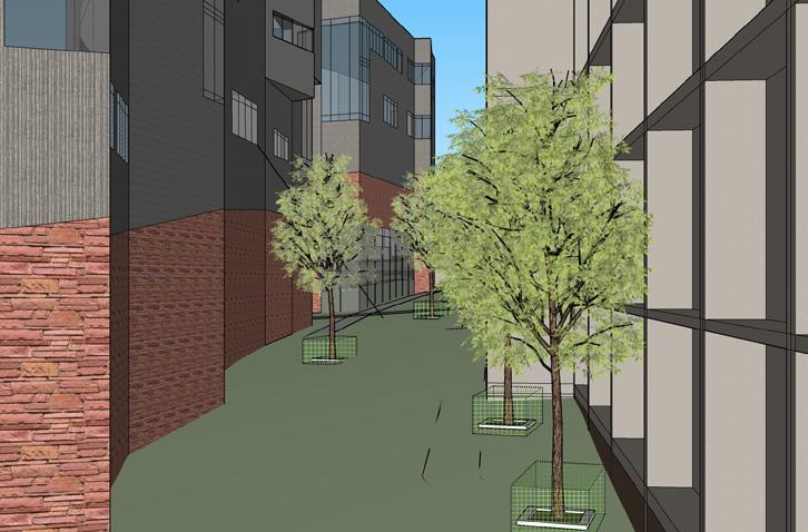
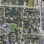
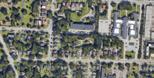
VISUALS OF CAMPUS
FALL 2021
After downloading a map file from CadMapper of The University of Cincinnati’s entire campus, I chose two specific sites to detail in SketchUp. These sites include the corridor between the Student Life Center and Baldwin Hall, and Tangeman University Center. Renders were completed utilizing V-Ray