Trafford Wharfside
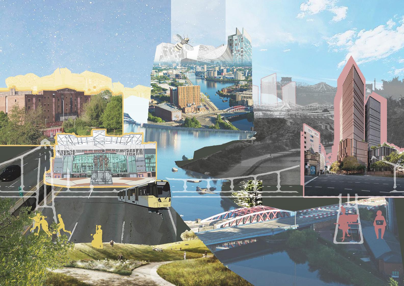
Mark Waleczek - 9866911
Bhumit Mistry - 10084797
Nathan Filkins - 11151402
Ting Wu - 11449592
Runyi Tian - 11361047
Yueting Jin - 11308131
Word Count: 4,209 (Within 10%)
bridging the gap between work & play
Group Members:
01
Introduction Policy Context
Development Context
02 03 04
National Policy
Sub-Regional Policy
Strategic Context Local Profile
Local Policy
Key Developments
Strategic Location
Socio-Economic Context
Heritage and History
Development Context
Transport and Connectivity
Green and Blue Infrastructure
Public Realm
Facilities and Attractions
Character
Legibility
Site Attributes
Site Identity
Matchday
Design Considerations
Opportunities
Constraints
Hard and Soft Analysis
Vision
Objectives and Actions
Key Objectives
Key Actions
Trafford Wharfside bringing together work & play 5 05 06 07
08
Bibliography
01
Introduction
Trafford Wharfside bringing together work & play
Introduction
Development Context
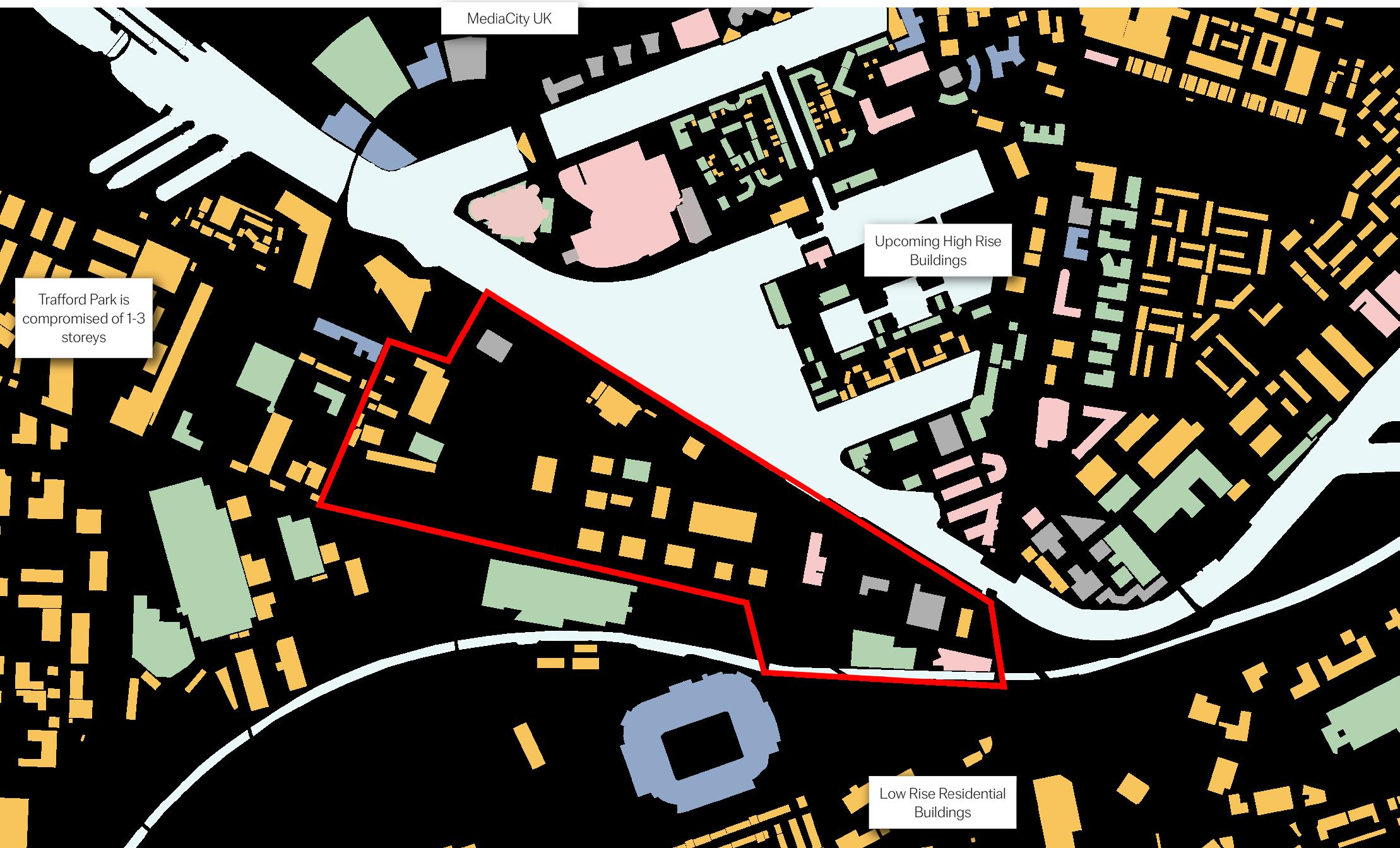
The regeneration of Trafford Wharfside has been a long considered priority for Trafford Council with its strategic location between Trafford Park and Salford Quays having the potential to revitalise the North side of the Borough. With strong links to the city and major transport nodes, Wharfside holds promise to drive extensive development in the area which could result in positive economical and social benefits for the Council and community.
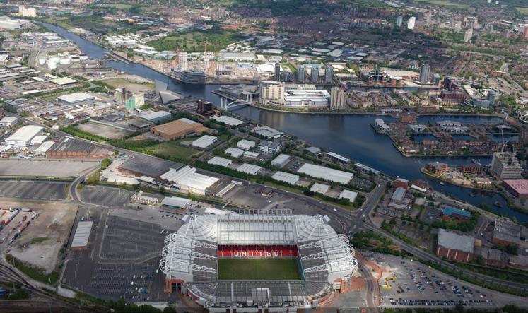
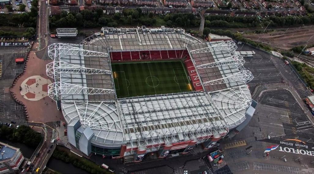
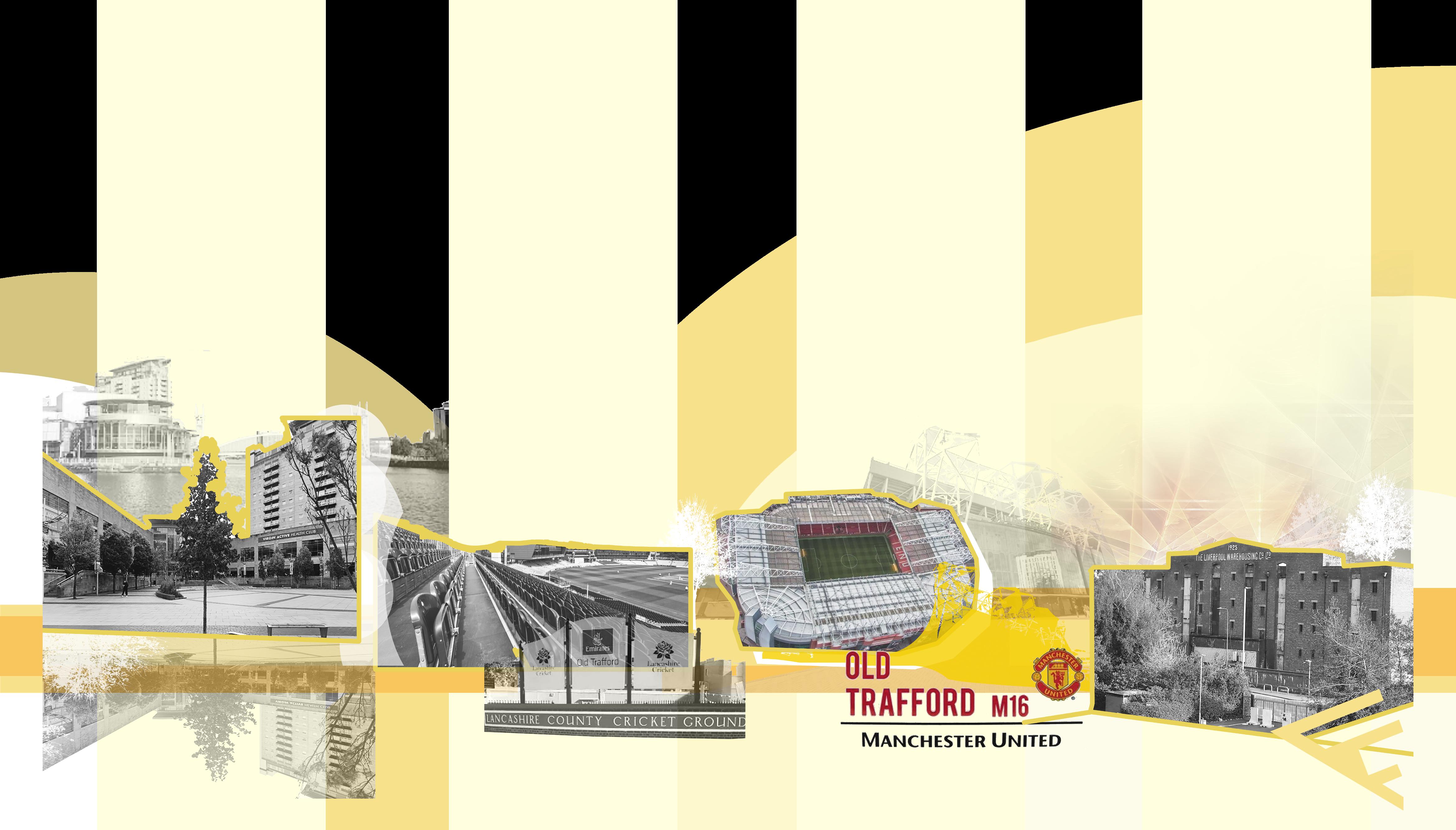
The prime waterfront location of the 29 hectares of land presents a unique, sought after opportunity for development that could enrich the lives of local residents whilst driving investment from national businesses. With the additional presence of sporting facilities, such as the monumental Old Trafford Stadium and Lancashire County Cricket Club, there is a chance to enhance the experience for millions of visitors who travel to area every year.
The revitalisation of Trafford Wharfside not only sits strategically to form the bridge between work and play but has the potential to create a vibrant home from what is currently a temporary destination.
This SMF is designed to explore the economic, physical and social context of Trafford Wharfside and its potential for development. Following a thorough analysis, the document sets out a vision for the area with an aim to engage with local communities and drive investment into the borough.

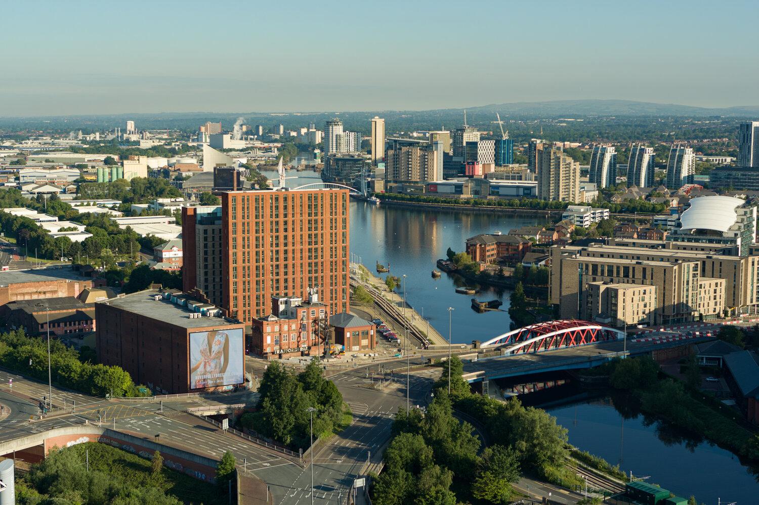
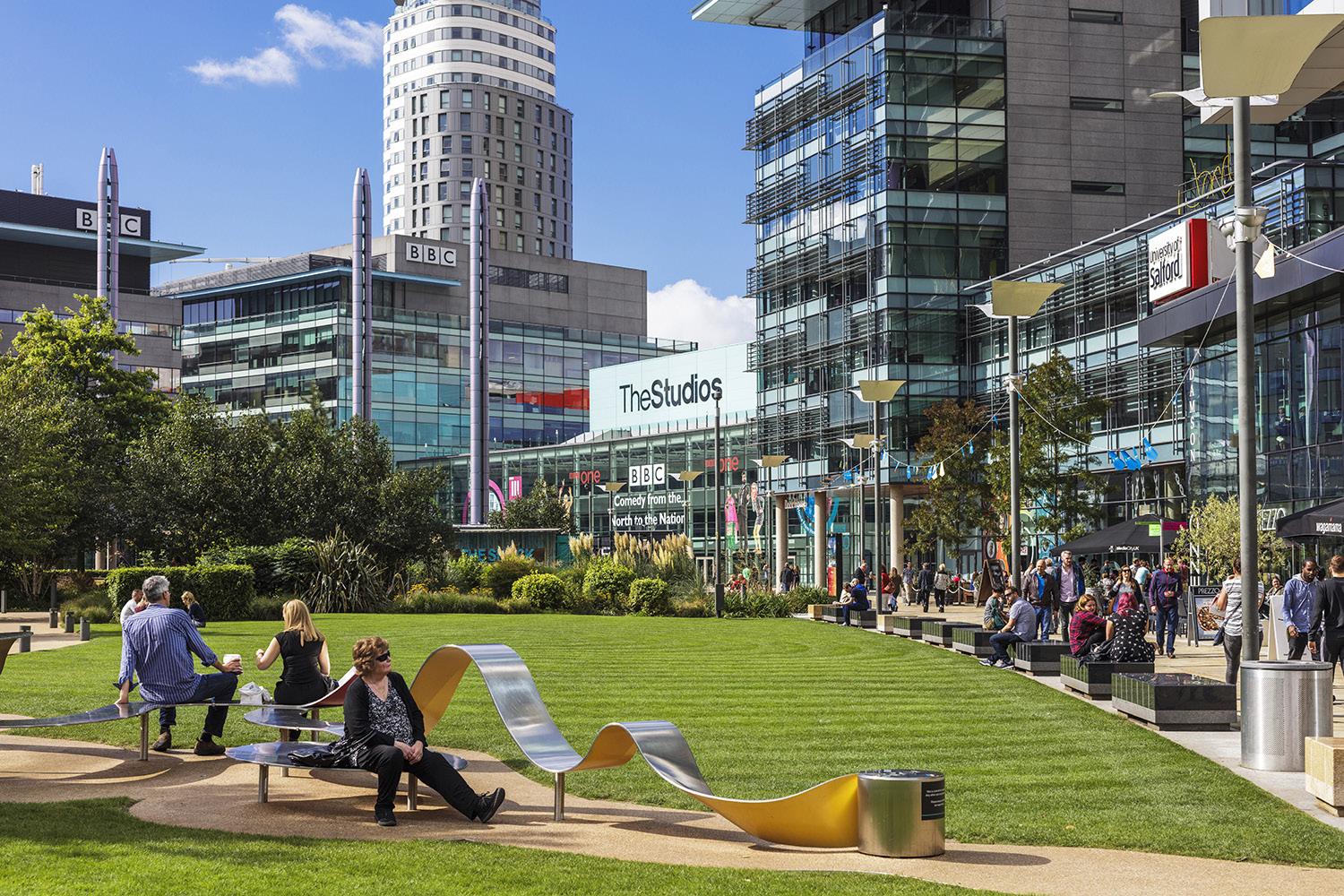
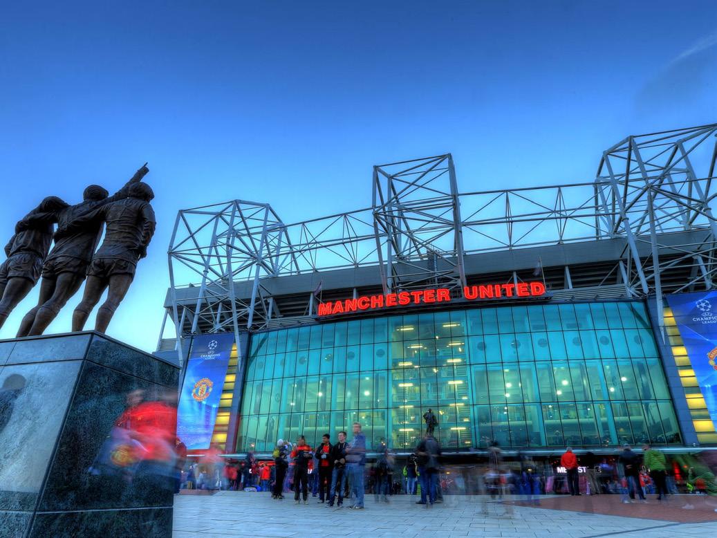
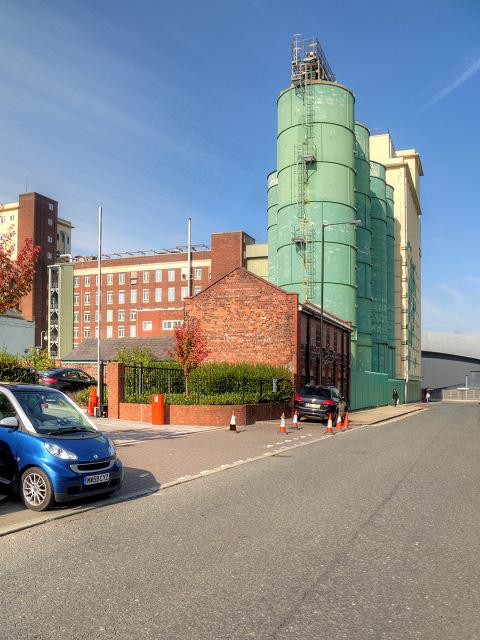
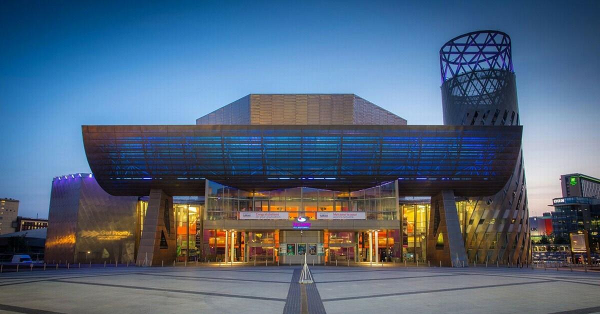
THE SITE: STRONG LINKS INTO THE CITY AND BEYOND PROXIMAL TO A MAJOR SPORTING LANDMARK MANCHESTER UNITED 29 HA THE BRIDGE BETWEEN INDUSTRY AND INNOVATION A PRIME WATERFRONT DESTINATION TRAFFORD, MANCHESTER
6
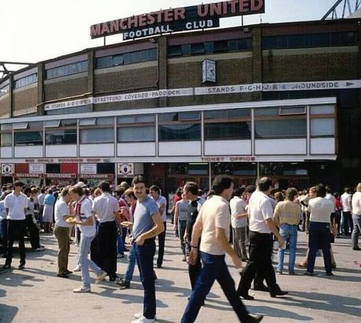
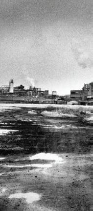
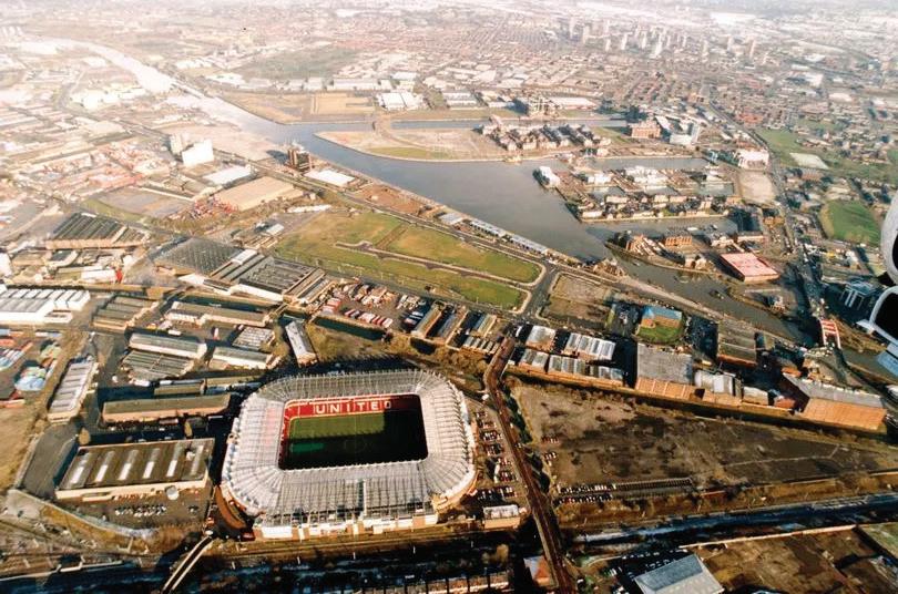
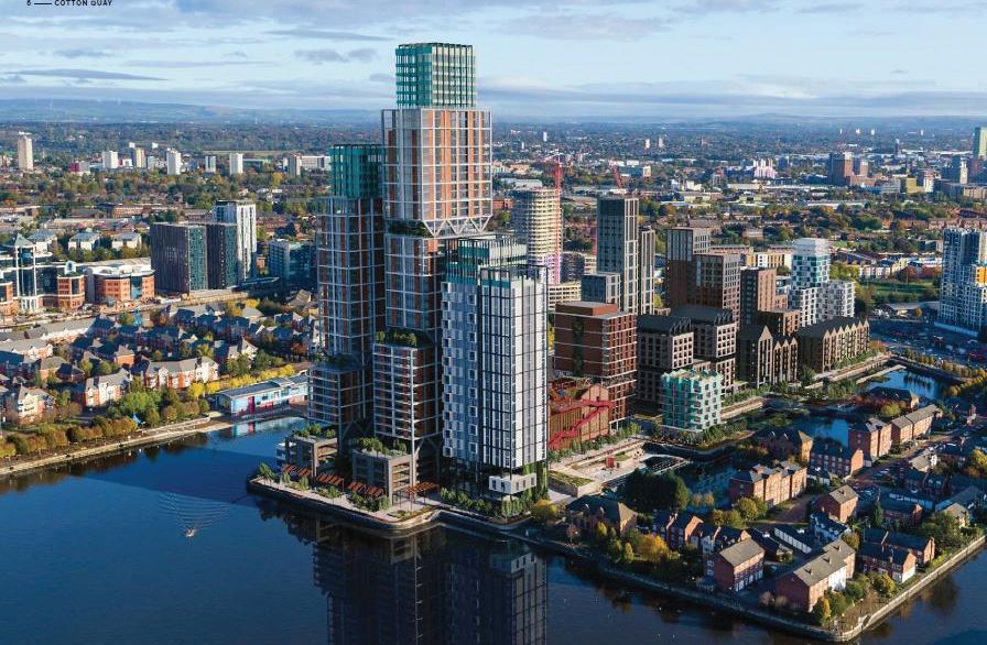
No1. Old Trafford (2022)
Independent (2013)
MediaCity (N.D)
Graham (2014)
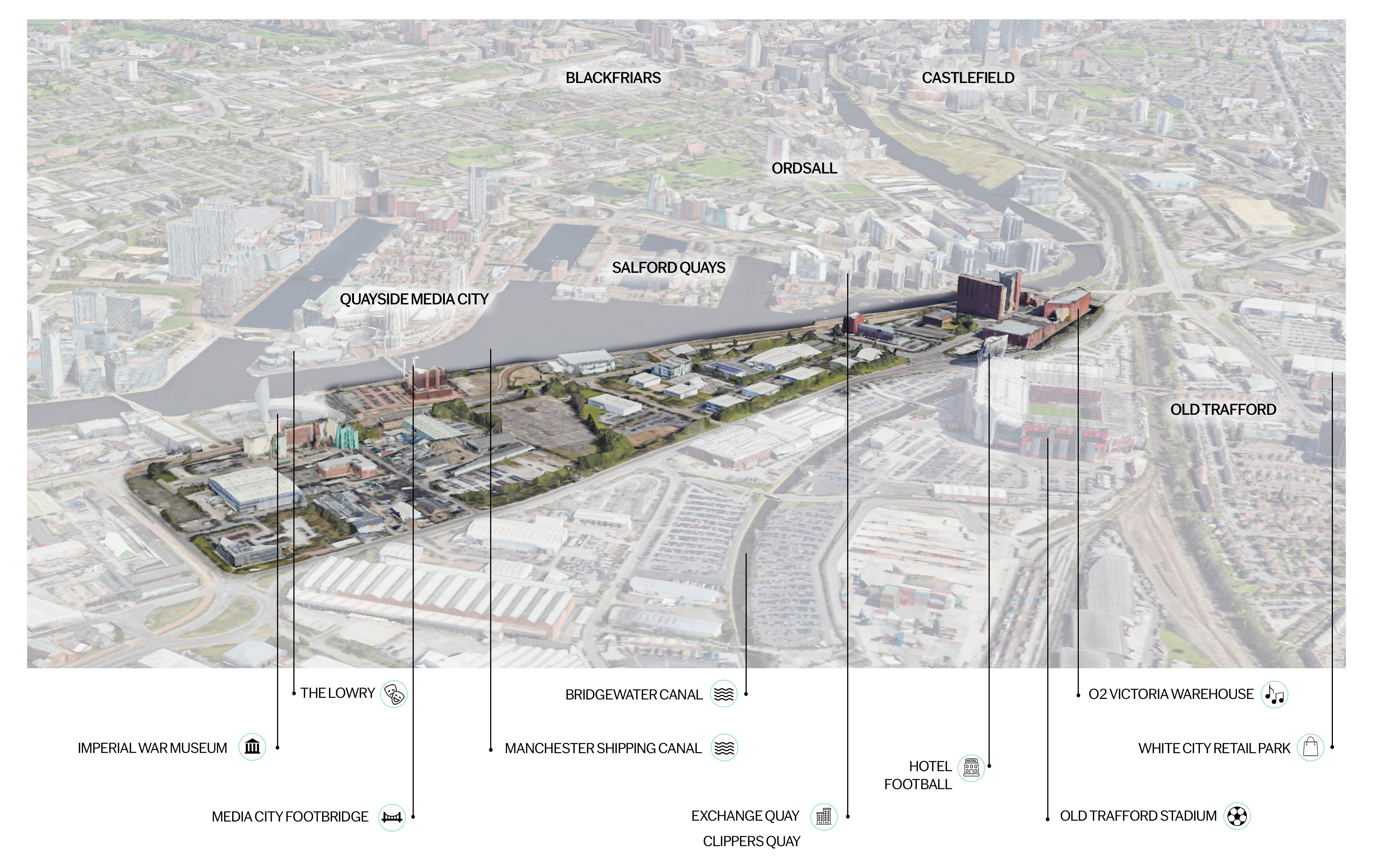
Trafford Wharfside 7 Google Maps (2024)
02
Strategic Context
Trafford Wharfside
work & play
bringing together
Strategic Context
Site Location
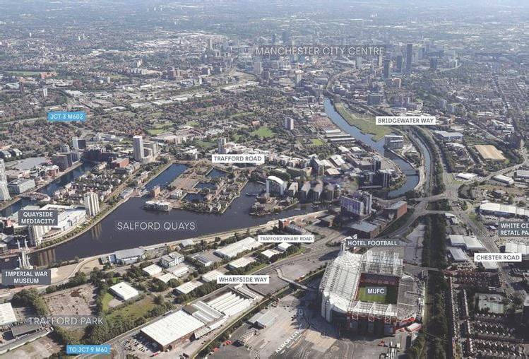
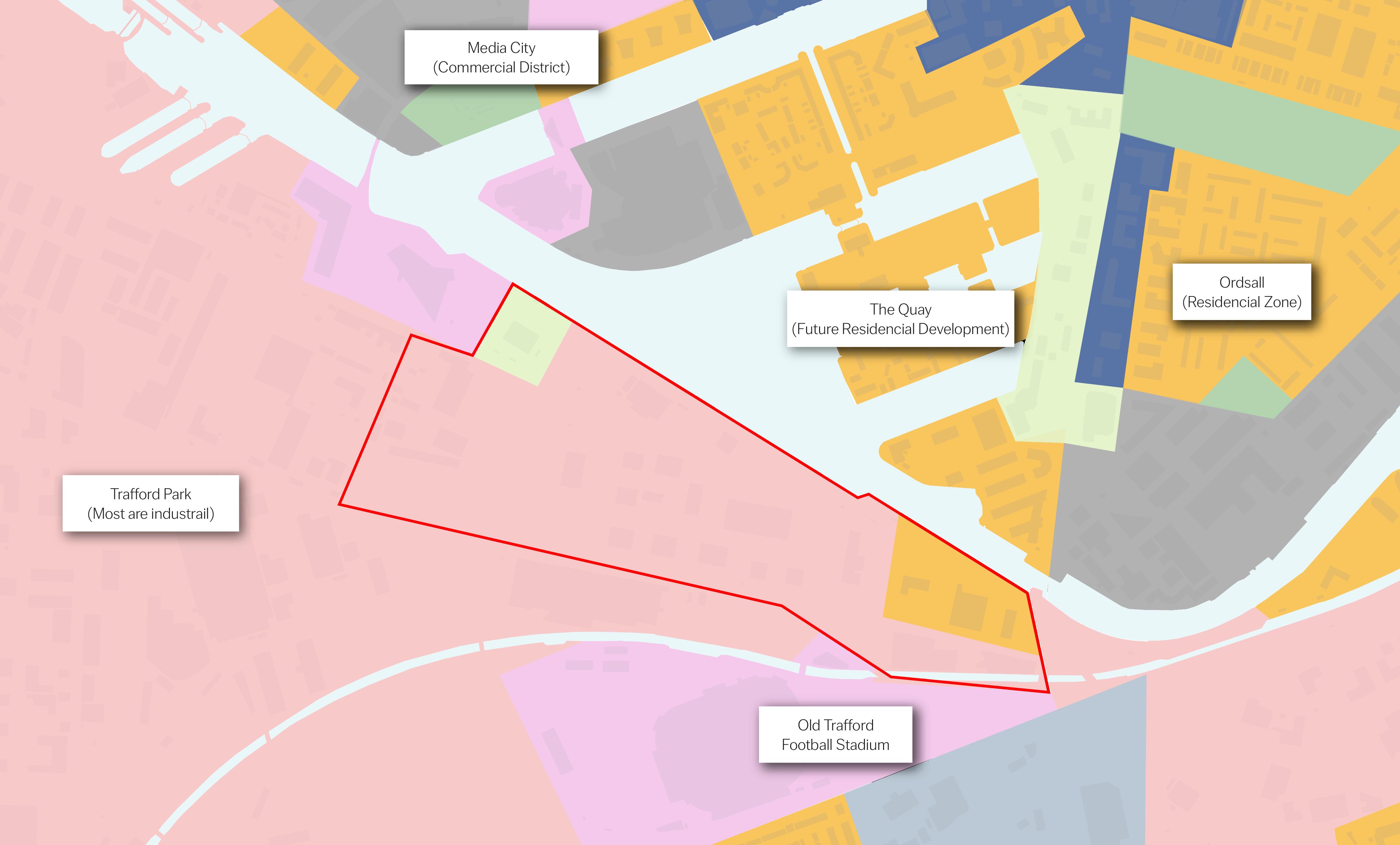
Trafford Wharfside is strategically located just outside of Manchester City Centre, sitting adjacent to Europe’s largest industrial park (Trafford Park) and opposite MediaCity, a hub of economic and social activity.
The historical use of the site as an industrial and commercial centre has led to a fragmented arrangement of inward looking buildings in the area. However, immense structures to the West and South of the site such as the Imperial War Museum and Old Trafford Stadium act as key footfall drivers into space.
Wharfside is well connected to the city and wider regions around Greater Manchester (GM) via the Metrolink. The Metrolink accommodates immediate connections to the airport and train stations which can be used to travel to cities within the Northern Powerhouse and beyond.
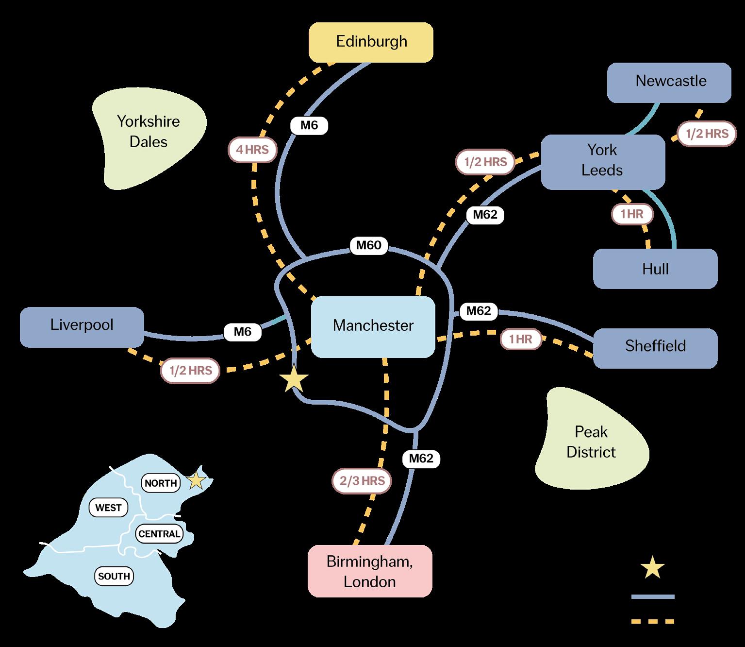
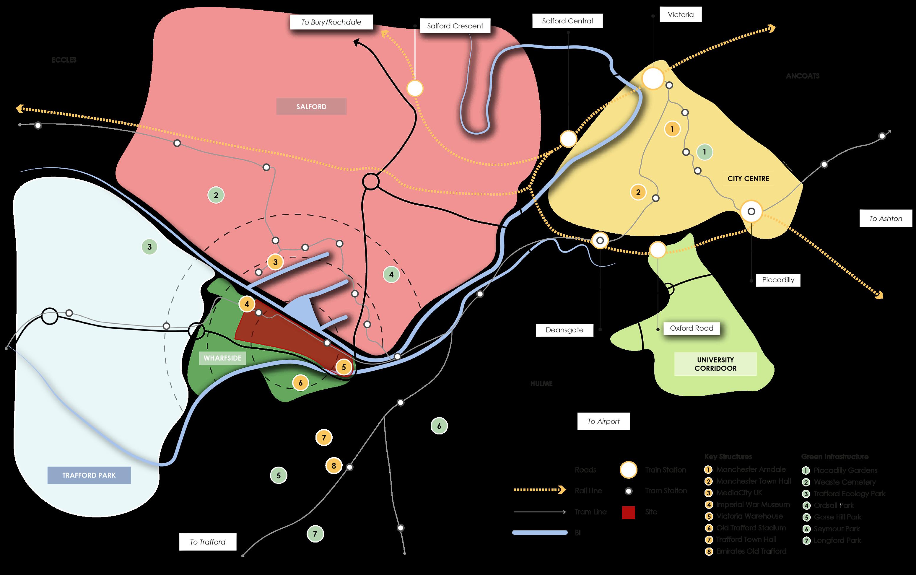
Journey Times to Primary Facilities

Airport 20 Mins (by car) Piccadilly Station 25 Mins (by tram) Universities Salford - 30 Mins Manchester - 25 Mins (by bus) Shopping Centres Quayside MediaCity - 10 Mins Trafford Centre - 20 Mins Arndale - 25 Mins (by tram)
10 Strategic Context Map 15 Mins 10 Mins 5 Mins Strategic Location Map Kilometres 2 0 Not to Scale
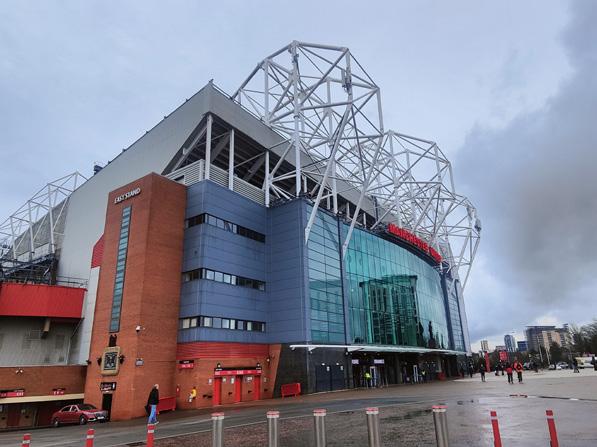
Old Trafford Stadium holds 74,000 visitors every home game and attracts regular tourists.
Socio-Economic Context
Old Trafford Cricket Club is home to Lancashire Cricket Club, hosting games and other entertainment.
The Imperial War Museum attracts 1 million visitors per year.
Occupational Status/Role
Higher managerial, admin and professional roles
Lower managerial, admin and professional roles
Intermediate roles
Small employers and own account workers
Lower supervisory and technical roles
Semi routine occupations Routine occupations
The Lowry welcomes 85,000 visitors per year.
Key Takeaways:
• Wharfside’s key transport facilities alongside key visitor landmarks within the area places it in a prime position for development.
• The demographic makeup of the area with an ageing population among a high number of students makes the site perfect to act as a residential hub. Simultaneously, the reliance of local economy on the industrial and knowledge based economy suggests that commercial development could also be extremely successful in the area.
Educational Attainment among the highest in the North West
High proportions of rented living
Ethnically diverse communities
Low rates of crime
Trafford Wharfside bringing together work & play
Full time students Percentage of residents 16+ 5% 0% 10% 20% 15% Never worked and long term unemployment 75+ Population Pyramid Percentage of residents 35 - 49 16 - 24 65 - 74 3 - 15 10% 5% 5% 10% 0% 50 - 64 25 - 34 0 - 2 Male Female
11
03
Policy Context
Trafford Wharfside bringing
work & play
together
Policy Context
National Policy Regional and Sub-Regional Policy
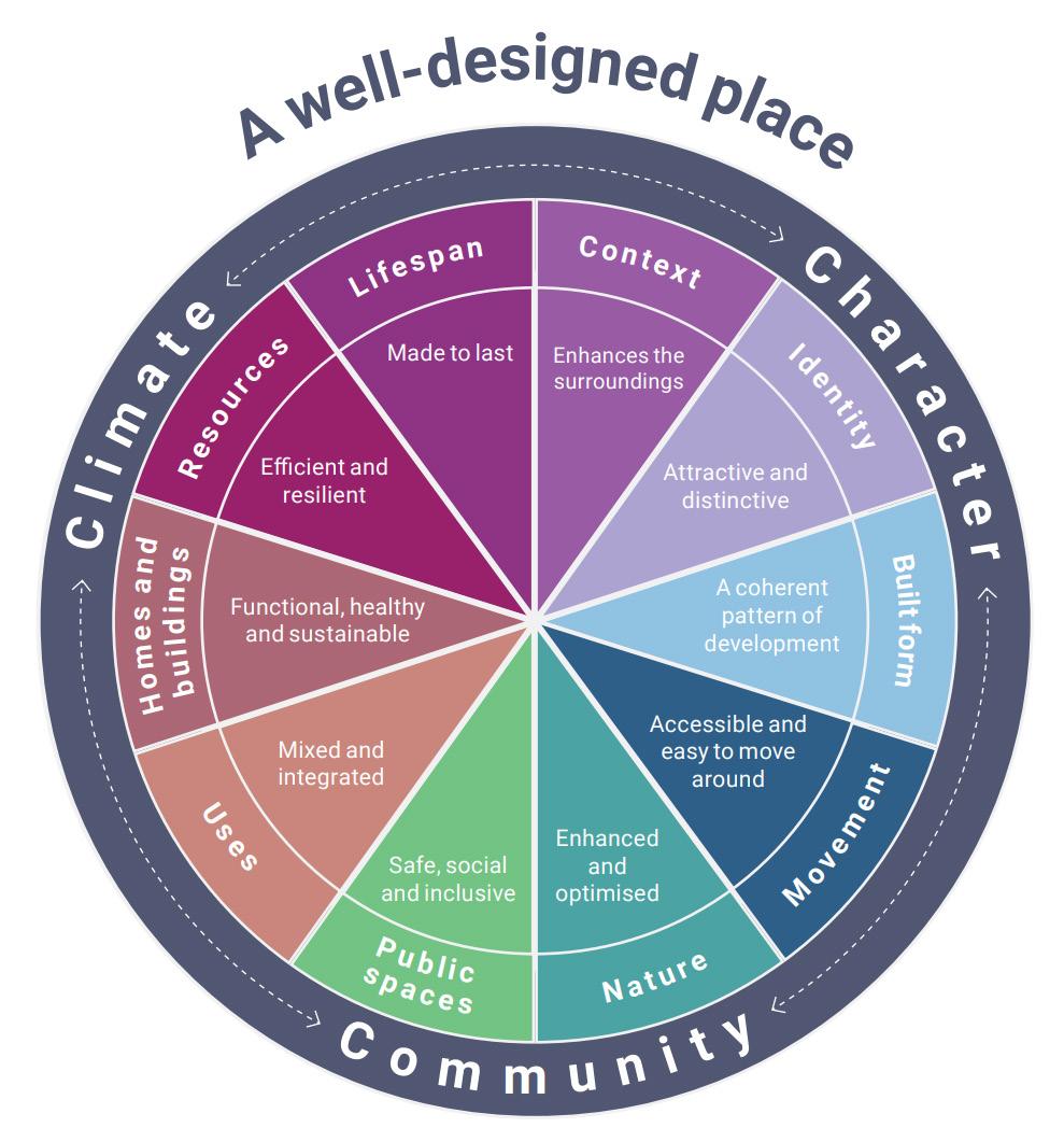
National Design Guide (NDG)
The National Design Guide sets out the ten characteristics of a “well designed place” which has been considered in the development of this framework.
National Planning Policy Framework (NPPF)
The NPPF identifies the government’s economic, environmental and social policies to be followed in the preparation of plans and frameworks.
Greater Manchester Strategy 2021 - 2031
The Greater Manchester Strategy is a decade long plan developed by ten councils and a variety of wider organisations. The strategy provides a clear direction for development, following the shared vision of:
“GoodLivesforAll:thatGreaterManchesterisagreatplacetogrowup,get onandgrowold;agreatplacetoinvest,dobusiness,visitandstudy”
Places for Everyone (PfE) 2024 - EMERGING
The Places for Everyone Emerging plan outlines how the nine boroughs within the Greater Manchester region should be developed by 2039. Trafford is identified within Core Growth Area and Sustaining Southern Competitiveness policies within the PfE document that focus on economic and residential growth as well as redevelopment of previously used land.
Greater Manchester Transport Strategy 2040
The Greater Manchester Transport Strategy outlines a long term vision to create a well developed transport system; helping to improve accessibility, reduce road congestion and promote cleaner and greener movement across the region.
Greater Manchester Local Industrial Strategy 2019
The Greater Manchester Local Industrial Strategy sets out an ambitious plan to drive economic activity and prosperity within the region.
Trafford is identified within the strategy as a key location for driving industrial activity on a regional scale. The role of Trafford Park is seen as a spatial opportunity for the large scale production and manufacturing of advanced materials.
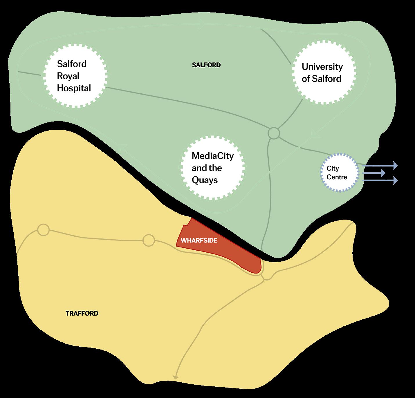
The Salford Innovation Triangle is also highlighted within the strategy as one of the key growth sectors in close vicinity to the Wharfside site. The Innovation Triangle made up of the Royal Hospital, Salford University and MediaCity, is already home to 75,000 jobs with the vision to create an additional 20,000 jobs and bring in £1.5 billion in investment.
14
Gov.UK (2019)
Salford Innovation Triangle
Local Policy and Guidance Development Context
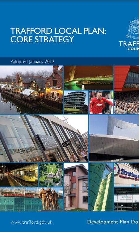
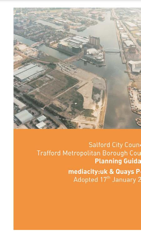
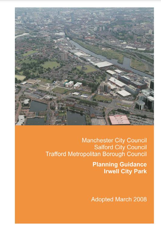
Trafford Local Plan: Core Strategy 2012
The Trafford Core Strategy spatially identifies the development needs within the borough as well as identifying social, economic and environmental challenges up to 2026. SL2 of the Core Strategy focuses on the potential for Wharfside to deliver a mixed use area with:
• An Economic Hub for Digital and Media Industries
• Leisure and Affordable Residential Development for Communities
The Local Strategy also requires the following for acceptable development:
• Provision of High Frequency Public Transport (e.g. Metrolink)
• Provision of a Strategic Processional Route
• A New Bridge Crossing, linking with the Irwell River Park Scheme
• A New Primary School serving the Residential Community
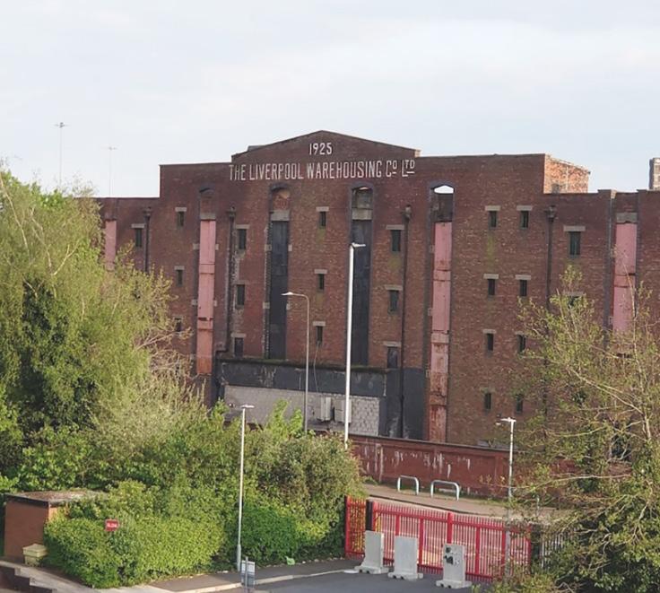
• Re-Development of the Victoria Warehouses
Media City and Quays Point / Irwell City Park Guidance
The guidance documents identify a vision for Wharfside to become a moderen digital city with mixed use development linking to an urban park which reflects on Manchester’s historical and architectural achievments.
Anchorage Quay
Fortis, Furness & Victoria Quay
Phoebe St
Berkeley Square Cotton Quay CERT Tower Victoria Warehouse Hotel
Masterplan Developments
Singular Developments
Quays SRF
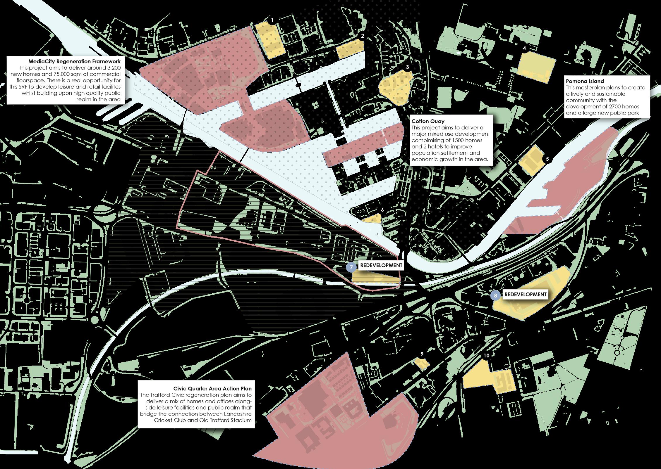
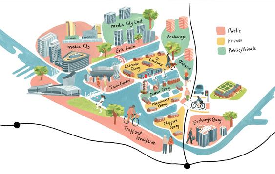
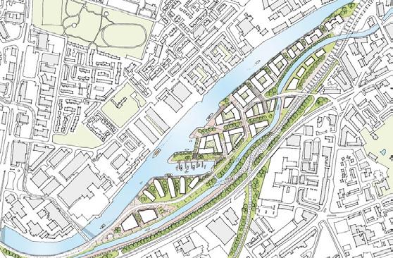
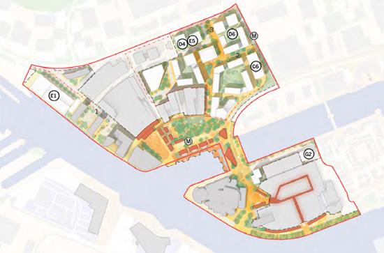
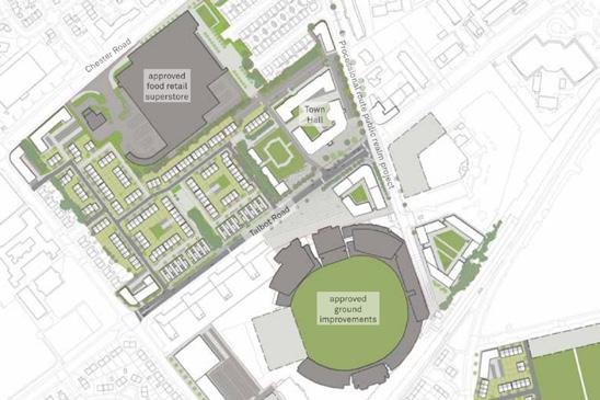
Key Takeaways:
• There is a high number of regeneration projects happening within the Wharfside area. The majority of developments are primarily for residential usage, however some have some mixed use elements.
• When developing a design on the Wharfside site, it will be key to balance the development of residential buildings alongside commercial and industrial structures to clearly link to the immediate areas outside the red line boundary.
Trafford Wharfside bringing together work & play
X1 Michigan Towers
Cornbrook
Botanical Gardens Skerton Road & Grove House 1 2 3 7 8 9 4 6 5 10 Salford
Wharfside
Site Salford Quays SRF MediaCity SRF Civil Quarter SRF Pomona Island SRF
Warehouse
SRF
15
Peel L&P (2022) Salford
Trafford Council (2022) 0 1000 Metres
Skyscraper
City (2021)
Council (2023)
04
Local Profile
Trafford Wharfside
work & play
bringing together
Heritage and History
Herron, A. (2015) manchesterhistory.net. (n.d.)
Media City UK. (n.d.)
Woden (2019)
Historic England (2024)
Hoare, C. (2020)
John, M. (2014)
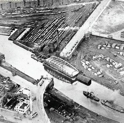
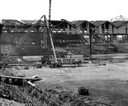
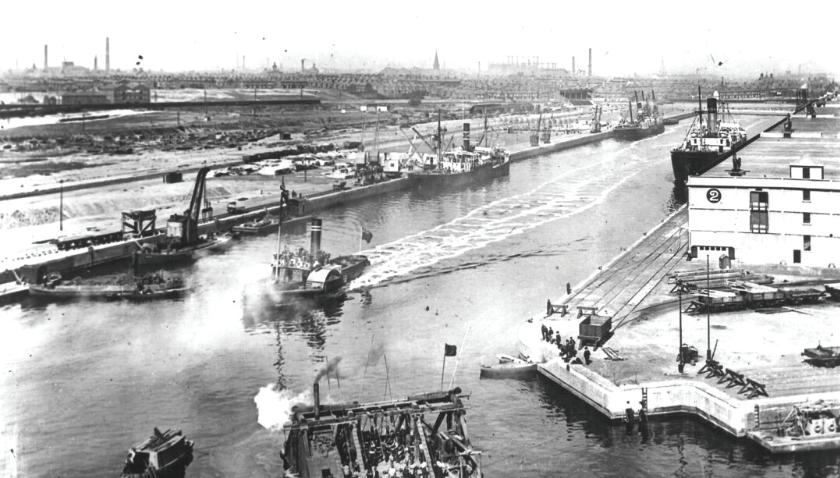
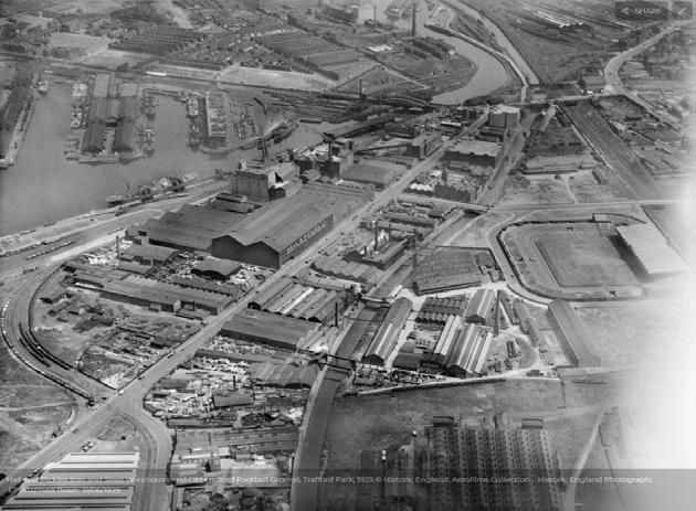
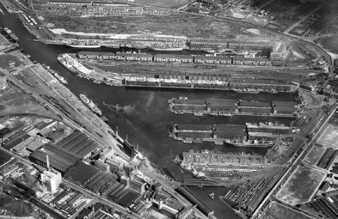
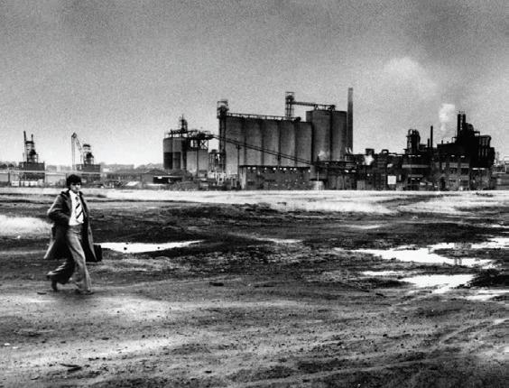
1800 1890 1920 1950 1980
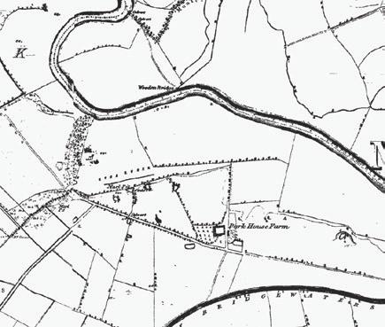

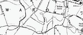
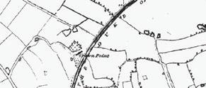

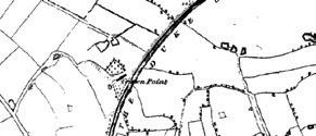
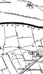

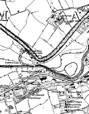
In the 1800s, Trafford was part of a “beautifully timbered deer park”.
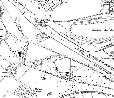
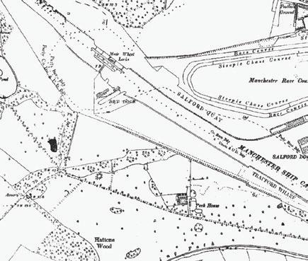
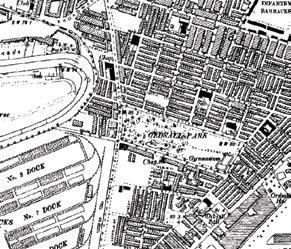
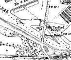
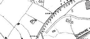

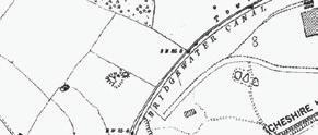
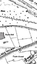

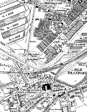
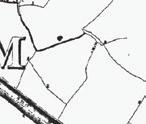
In 1888, the construction of the Manchester Ship Canal begun alongside the auctioning of land around the area.
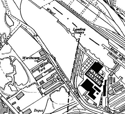


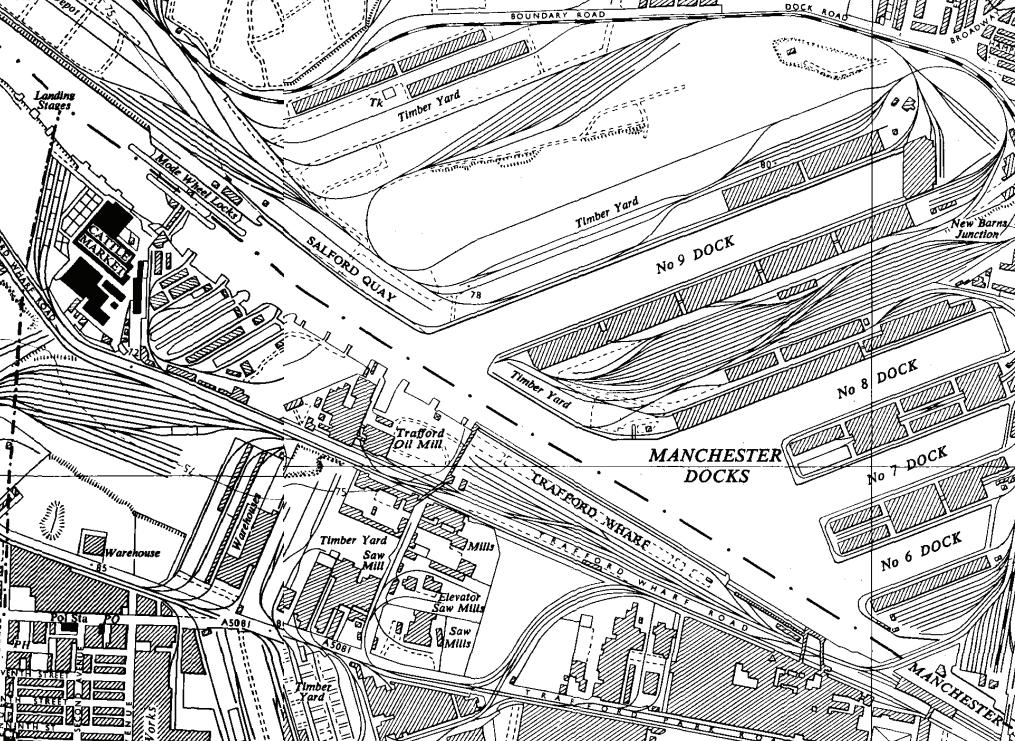
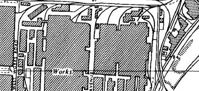

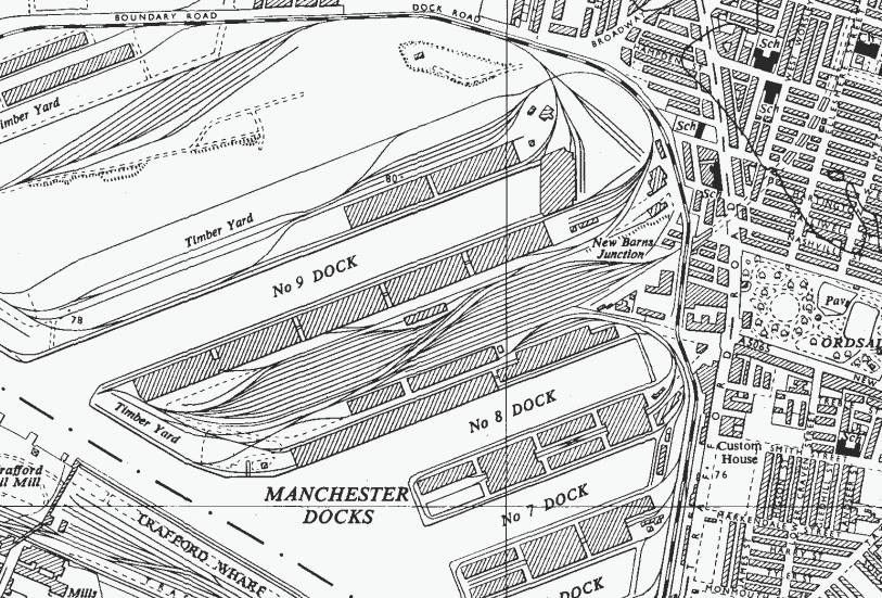
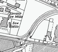
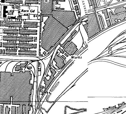
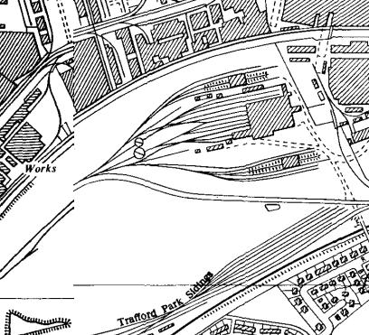

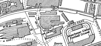
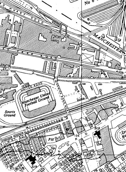
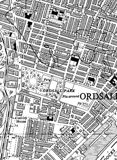
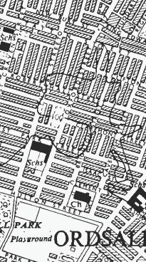

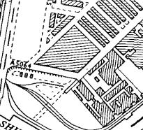

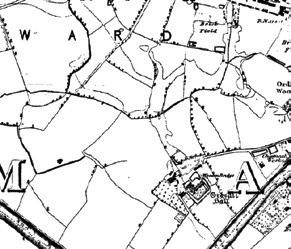
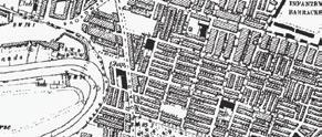
The 1930s saw the establishment of the largest private railway in the UK, specialising in the transport of WW1 and WW2 resources. More generally, the area became a prime industrial site, appealing internationally.
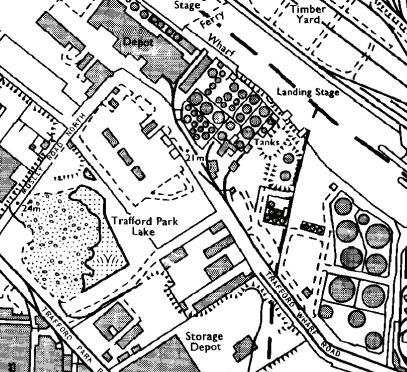


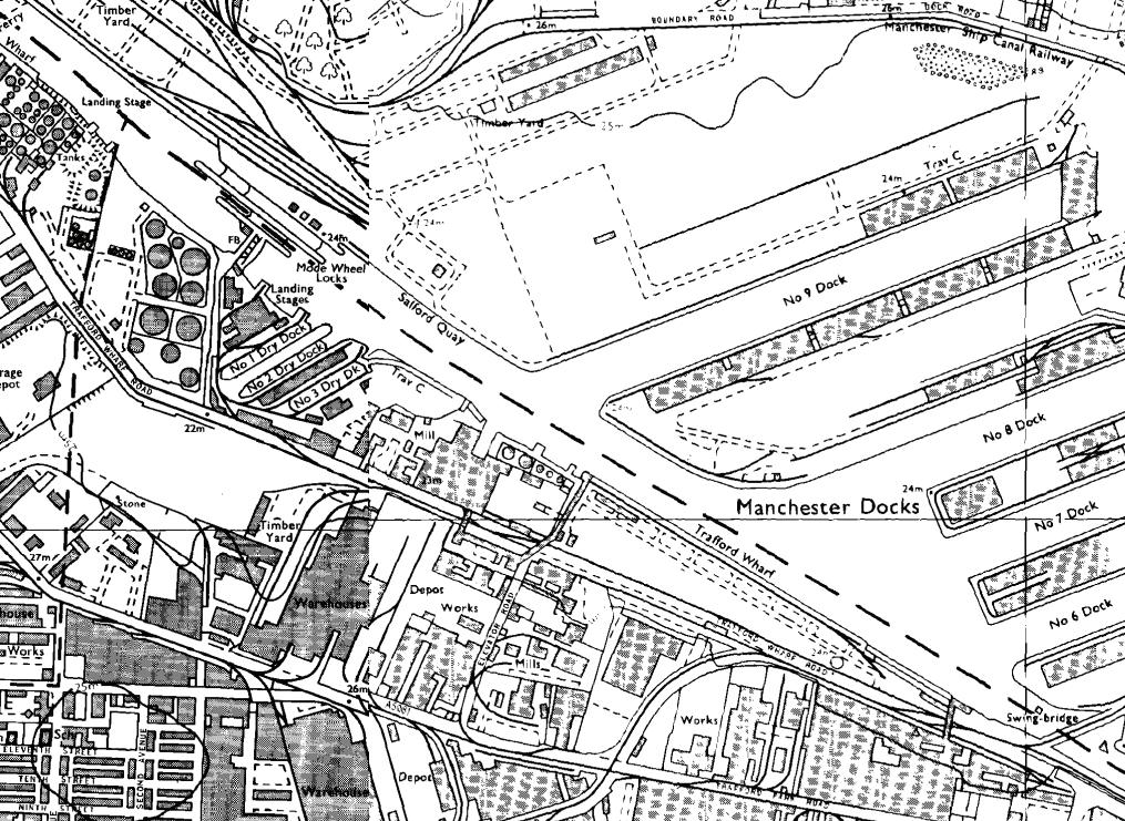

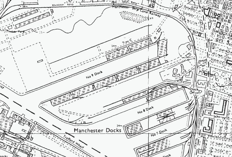
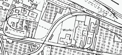
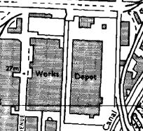

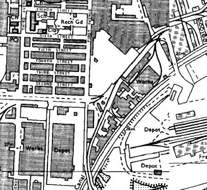
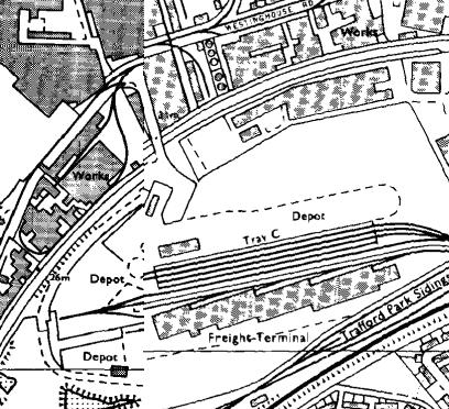

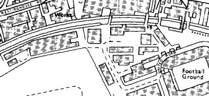
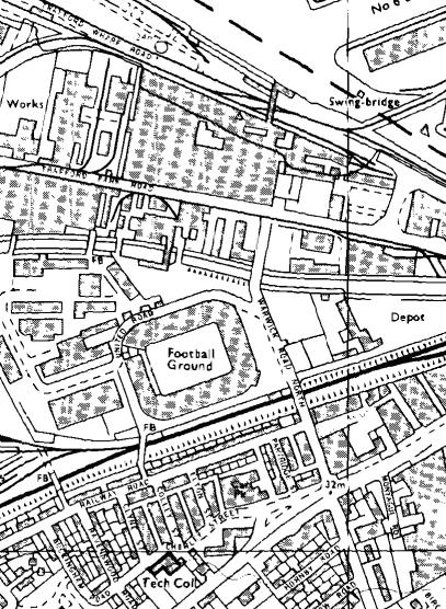
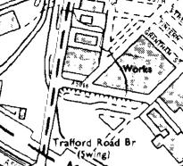
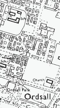
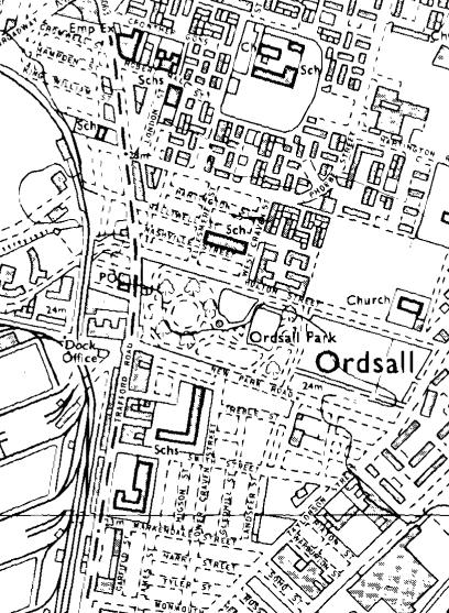
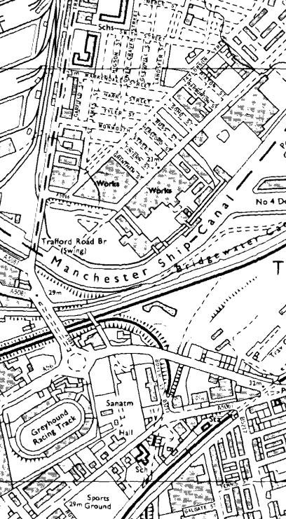
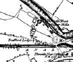
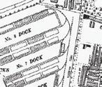
The 1970s saw the decline of industrial economy in the area, largely due to the shipping canal being unable to accommodate newer, larger container ships that became more common in the late 1900s.
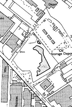


In 1987, the generated around 1000 investment.
18
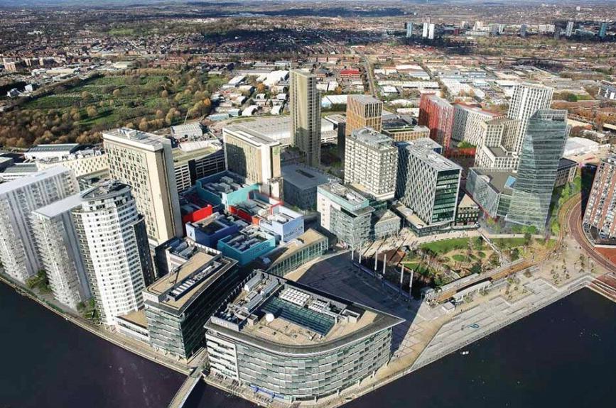
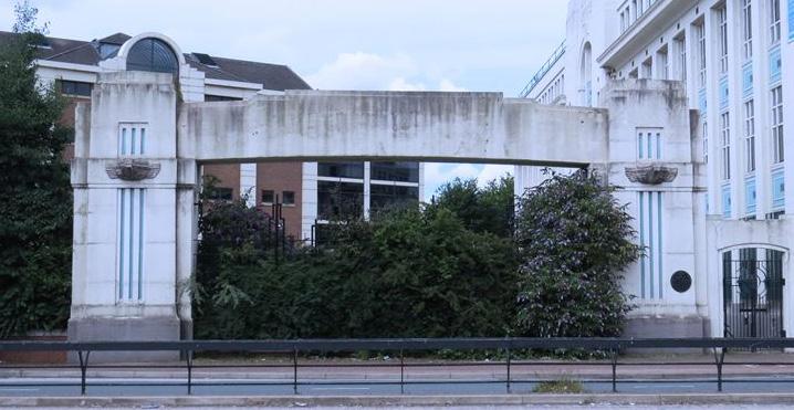
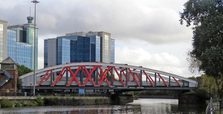
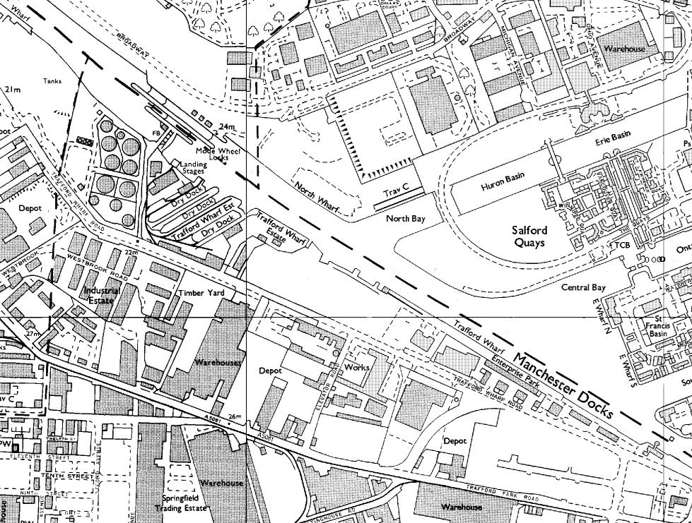
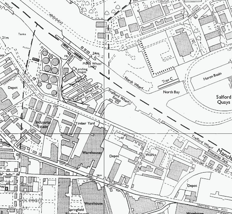

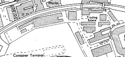
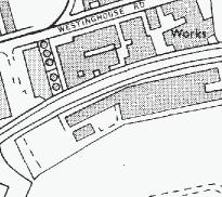
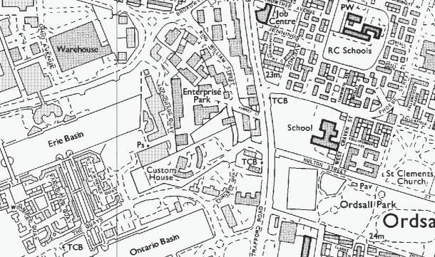
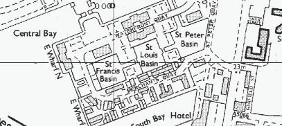
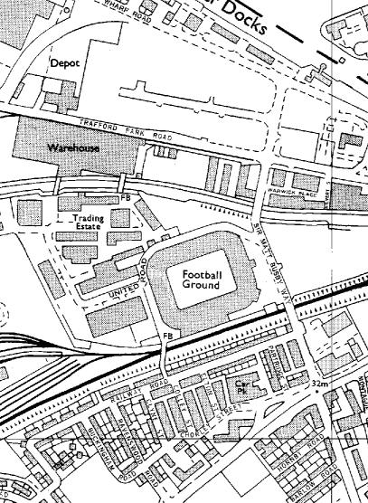
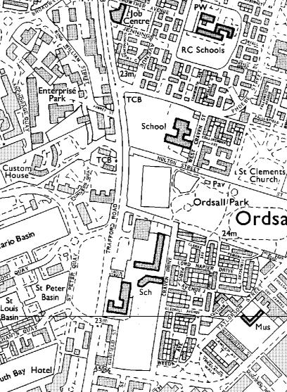
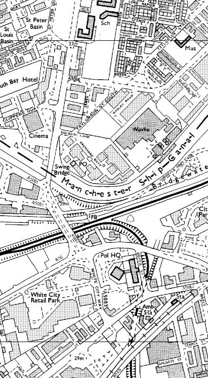
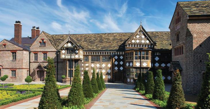
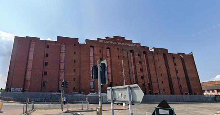
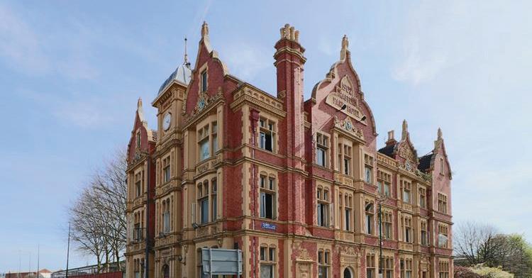
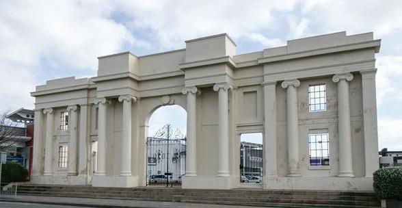
Trafford Wharfside bringing together work & play 1892 - Trafford Road Bridge A heavy Ship Canal bridge linking Trafford and Salford. 1998 - Dock Office Gateway A key dock that once formed part of the Port of Manchester 1830- White City Gateway A symbol of White City and Botanic Garden gateway 1902-Trafford Park Hotel A gothic style boutique hotel that now remains abandoned 1177-Ordsall Hall Grade 1 residential building that is now a popular attraction 1932 -Victoria Warehouse A textile industry warehouse that is now used to host events. 1990 2010 2020 Nearby Heritage the Trafford Park Development Corporation regenerated 3,130 acres of land. The corporation attracted 1000 companies and £1.7 billion in private sector investment. 1 2 4 2 1 3 3 4 6 6 5 5
The area immediately surrounding the site has a rich history of industrial economy which has seen peaks and troughs throughout the past 200 years. Such is the scale of this masterplan, its implentation has the potential to establish a new period in time for the area. 19
Key Takeaways: •
Development Context
Morphology
The site is surrounded by a number of urban voids whereby built form is informally arranged
Building Heights
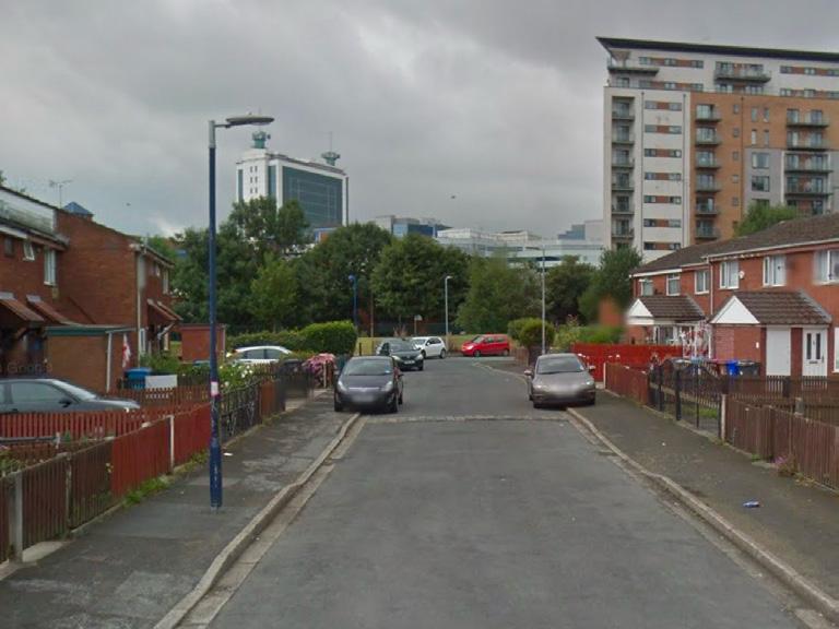
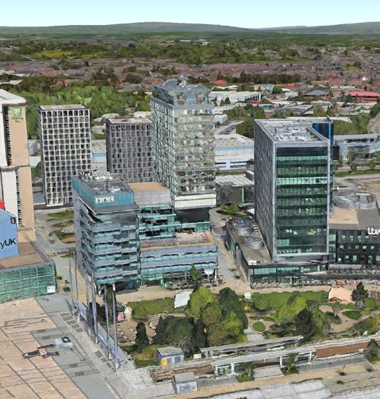
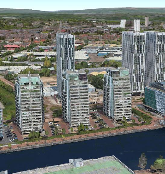
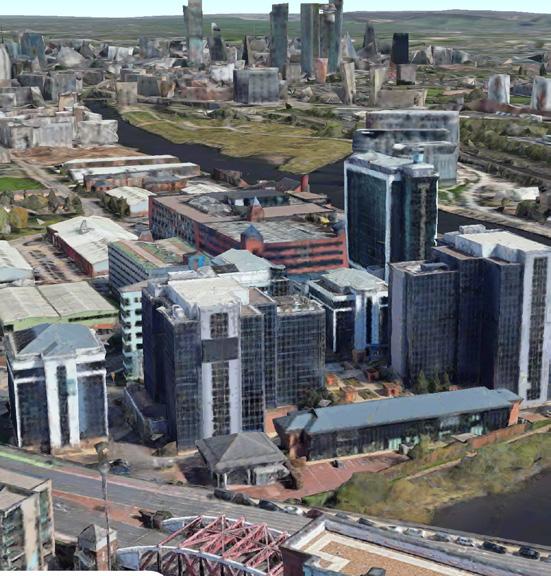
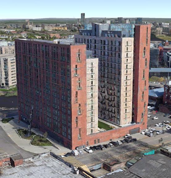
To the east of the site are taller buildings, often either residential or office in use, as tall as 13 stories
To the west of the site are low-rise industrial buildings measuing 1-3 storeys

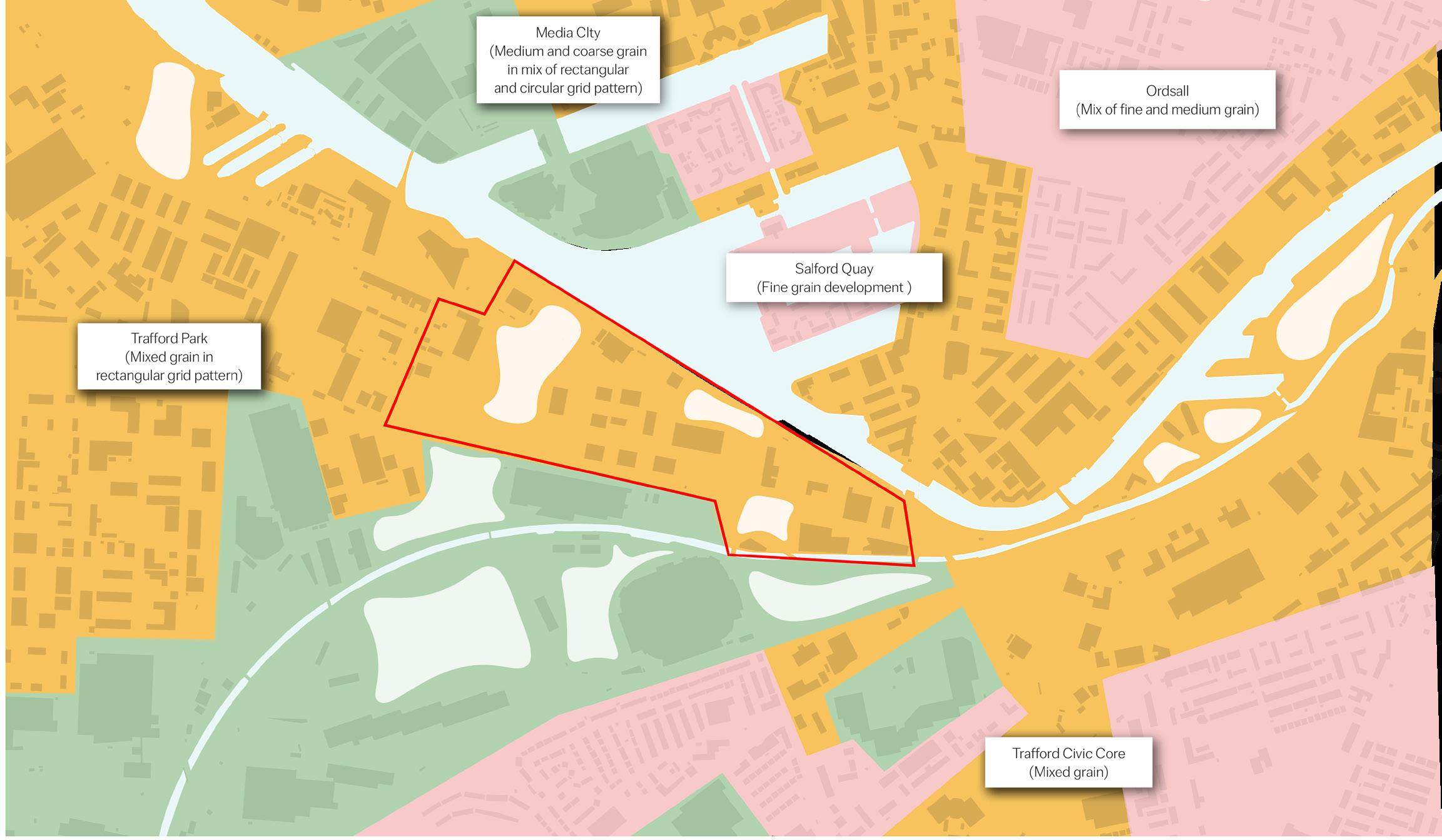
Fine Grain
Small footprint urban form, often associated with residential uses. Often appear as a ‘peppercorn’ morphology.
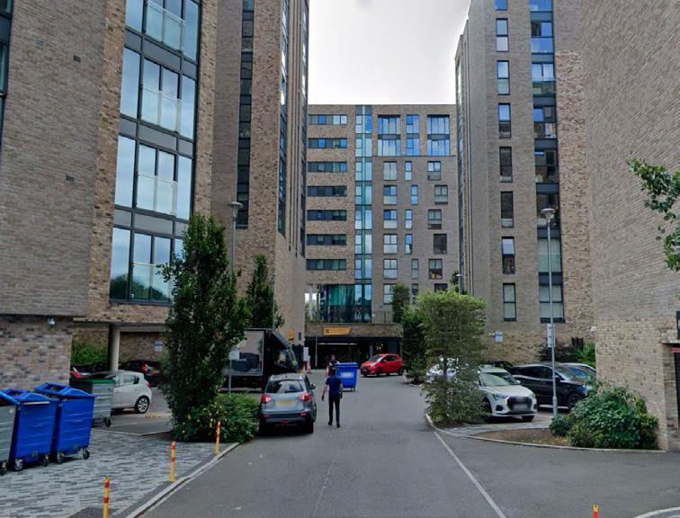
Larger footprint buildings that may be residential, commercial or industrial in use. Buildings are taller, and streets are often more enclosed.
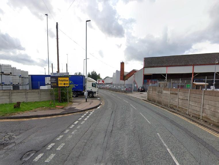
Low density, often industrial units that are separated by large urban voids - some used for car parking.

Medium Grain
Coarse Grain
Site Coarse Grain Medium Grain Fine Grain Voids 2 1 2 1 3 3 1-3 Storeys Site 7-9 Storey 4-6 Storey 10-12 Storey 13+ Storey
The new mixed use No.1 Old Trafford building acts as a model for high rise development in Wharfside
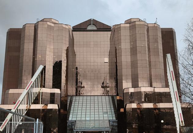
Office and commercial buildings that front directly onto the waterfront
High rise residential buildings with some office spaces
20
Office buildings in MediaCity, primarily used by creative media companies
Land Morphology Map
Building Heights Map
All images on page are taken from Google Maps (2024)
Land Use

Evening Activity Analysis
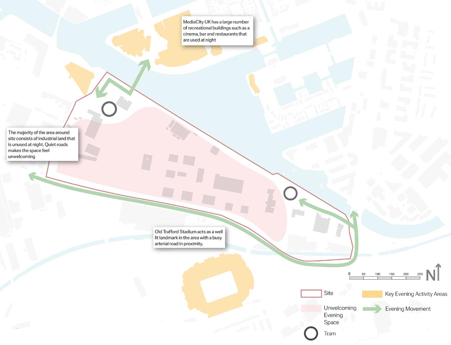
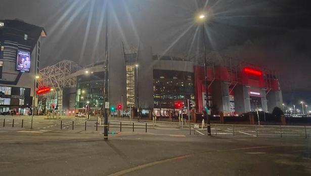
The site feels unwelcoming in the evening due to its primary use as an industrial area, resulting in low levels of passive surveillance. However, key structures such as Old Trafford, the Imperial War Museum and MediaCity are well illuminated and attract pedestrian activity. Wharfside and IWM tram stations are also well lit, but the site is mainly dominated by cars in the evening.
Key Takeaways:
• The site currently sits in between a large area of industry and commercial activity.
• Whilst the site is used by employees and residents in the daytime, the area has a very limited amount of use in the evening with only the arterial routes and key structures around the site providing a hub for socialisation.
Trafford Wharfside bringing together work & play
Quay West
Old Trafford 2 1 Site Mixed Use Residential Commercial Recreational Retail Office Blue Infrastructure Green Infrastructure
21 Evening Activity Plan Land Use Map 1 2 Industrial Industrial land uses dominate the site and surrounding area, correlating with building heights often between one and three stories To
the north of the site lie much more varied land uses which help to sustain the
Ordsall Community
Transport and Connectivity
Route Hierarchy
Trafford Wharfside is situated between the edges of Trafford and Salford, strategically located at the gateway of Trafford Park. It holds significant importance due to its proximity to Media City, Salford Quay, and Old Trafford Stadium, which are all accessed by major arterial routes which pass near by the site from wast to west.
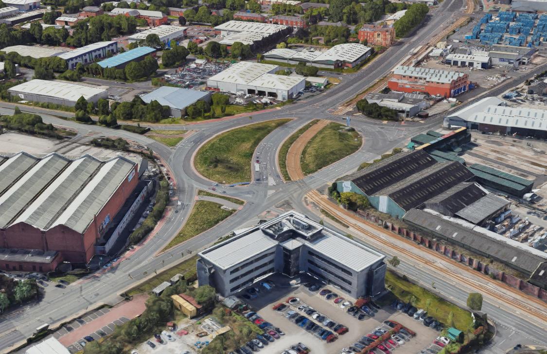
This area serves as a transportation hub for freight and shipments.
Wharfside Way is not connected to Sir Alex Ferguson Way. Instead, the space in between is designated as a pedestrian zone for football spectators to pass through and reach the tram station.

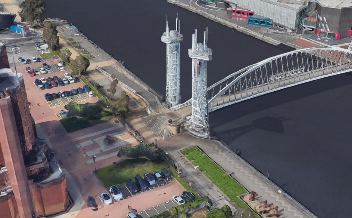
This is a pedestrian bridge linking to Salford Quay. The waterfront is a low-quality pedestrian sidewalk.
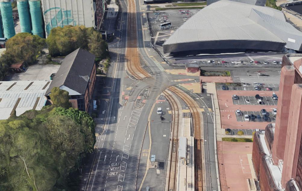
The tram line cross through the main road making the complex intersection, and it blocks the movement from waterfront to Trafford Park.
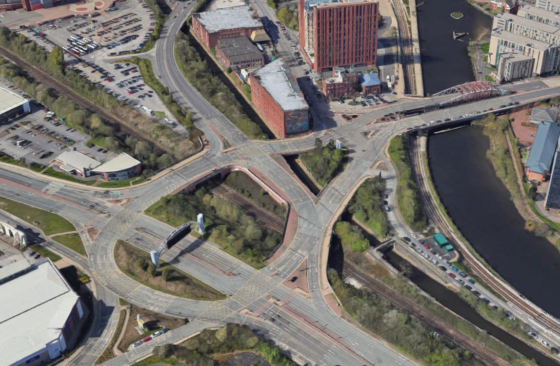
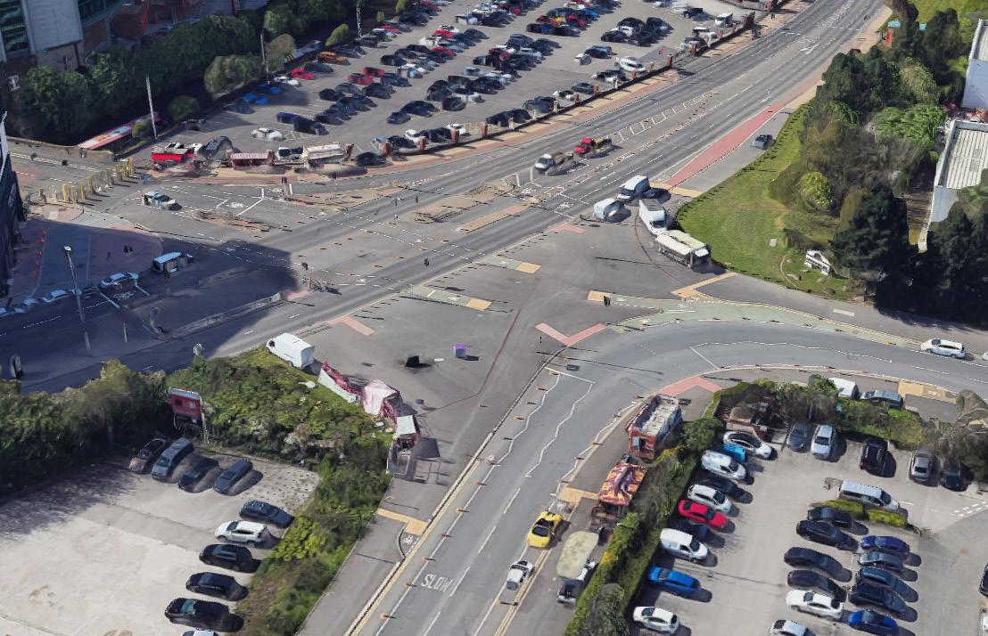
It is a traffic hub connecting Trafford and Salford. The high traffic volume results in poor-quality access to the Wharfside site.
pedestrian tram pedestrian pedestrian
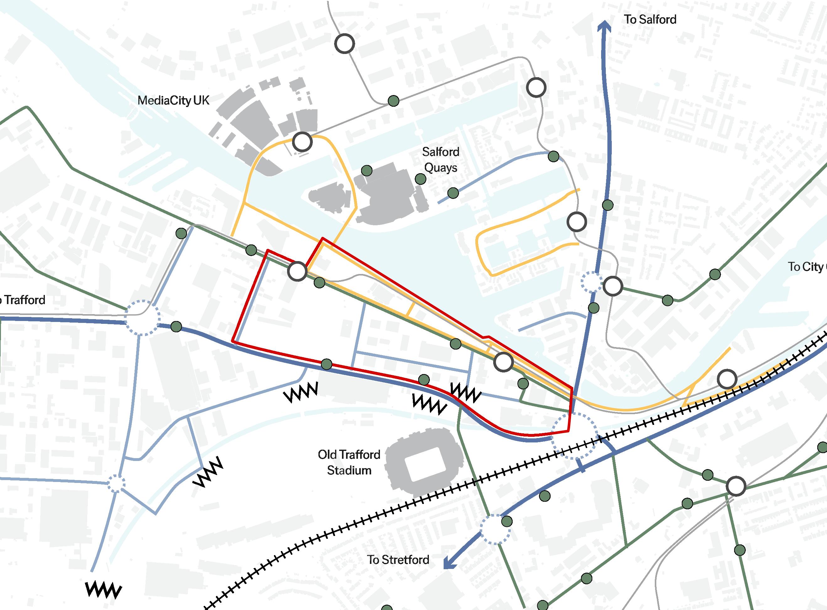
Bus Station Intersection Tram Station Barrier Key Structures Arterial Road Main Road Secondary Route Pedestrian Route Tram Line Rail Line
22 All images on page are taken from Google
Route Hierarchy
Maps (2024)
Site
Connectivity and Sustainable Modes
Site Scale Connectivity and Sustainable Routes Map
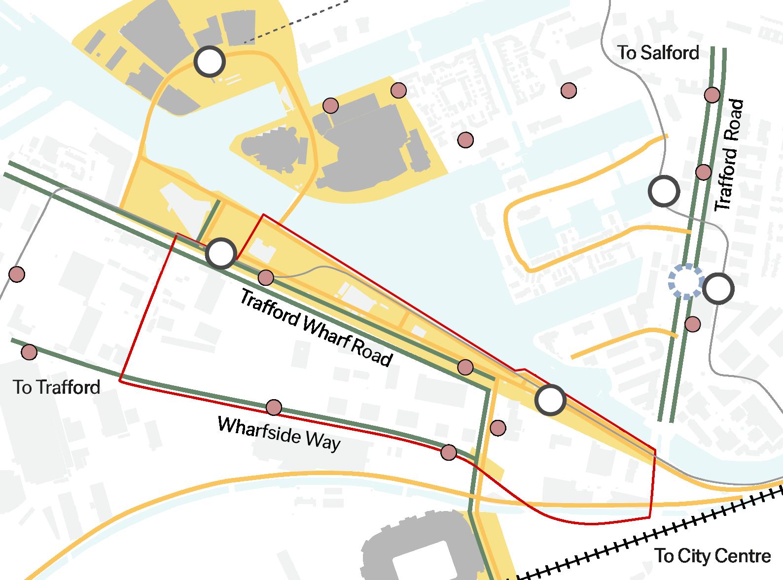
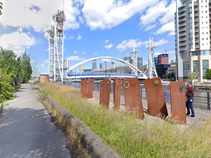
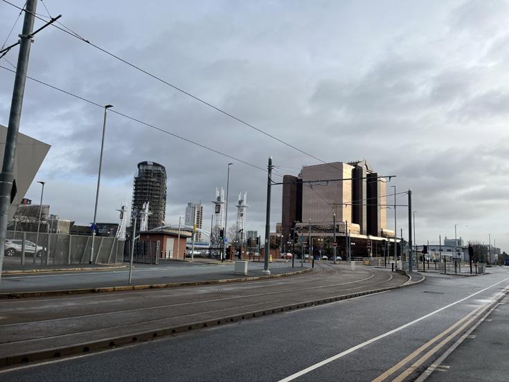
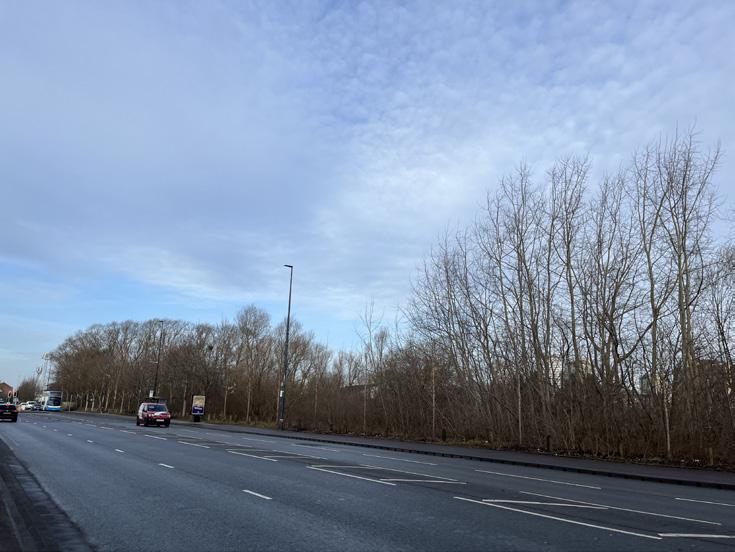
Wharfside Way features high volumes of traffic and offers poor walkability.
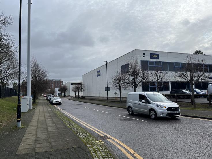
Secondary roads within the site are mainly used by employees.
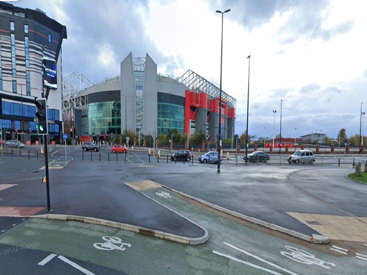
A route between Old Trafford Stadium and the tram station has been retrofitted to re-prioritise pedestrians.
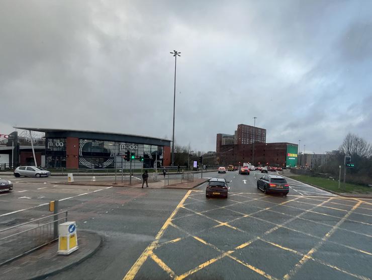
The main junction connects Salford and Trafford which is hard for pedestrians to pass through.
Within the site, pedestrian and cyclist flows are minimal. The waterfront sidewalk is of low quality but holds significance as it connects to The Lowry and Media City by two bridges. The processional road from Old Trafford Stadium becomes crowded on matchdays, but otherwise the site is largely devoid of pedestrian activity with exeption for the waterfront route.
For cycling, Trafford Wharf Road has two separate cycling paths, and Trafford Road also provides cycling lanes. To the south of the site, the Bridgewater Canal has a small sidewalk of low quality, shared with pedestrians.
20
by public transportation to the City Centre.
by car to the city centre.
• Two tram stations fall within the site
• Wharfside Way serves as an arterial road through Trafford Park, primarily used for shipments and access to Lowry’s.
• The waterfront sidewalk, although of low quality, is essential for its views and connects to Media City and The Lowry.
bringing
work & play 4 1 2 3 5 6
Trafford Wharfside
together
The sidewalk beside the waterfront is low quality although there are some sculptures showing the area’s history.
Trafford Wharf Road is a main road that runs through the site and features segregated cycling paths.
1 5 2 6 3 4
Key
Intersection Tram station Bus station Pedestrian zone
route Cycling route
line Railway 23
10
30 minutes walk to the Trafford Park Train Station 20 minutes
city centre.
Takeways:
Pedestrian
Tram
minutes
minutes
by bike to the
500 0 Metres
Green and Blue Infrastructure
Green Infrastructure
The site is devoid of high-quality green spaces, yet in its vicinity lies an expansive network of green infrastructure. When assessing the dimensions, internal amenities, proximity to the site, and other factors, four major green spaces emerge. These identified green spaces not only enrich the environmental landscape but also play a pivotal role in fostering community well-being and promoting a sustainable and ecologically conscious living environment.
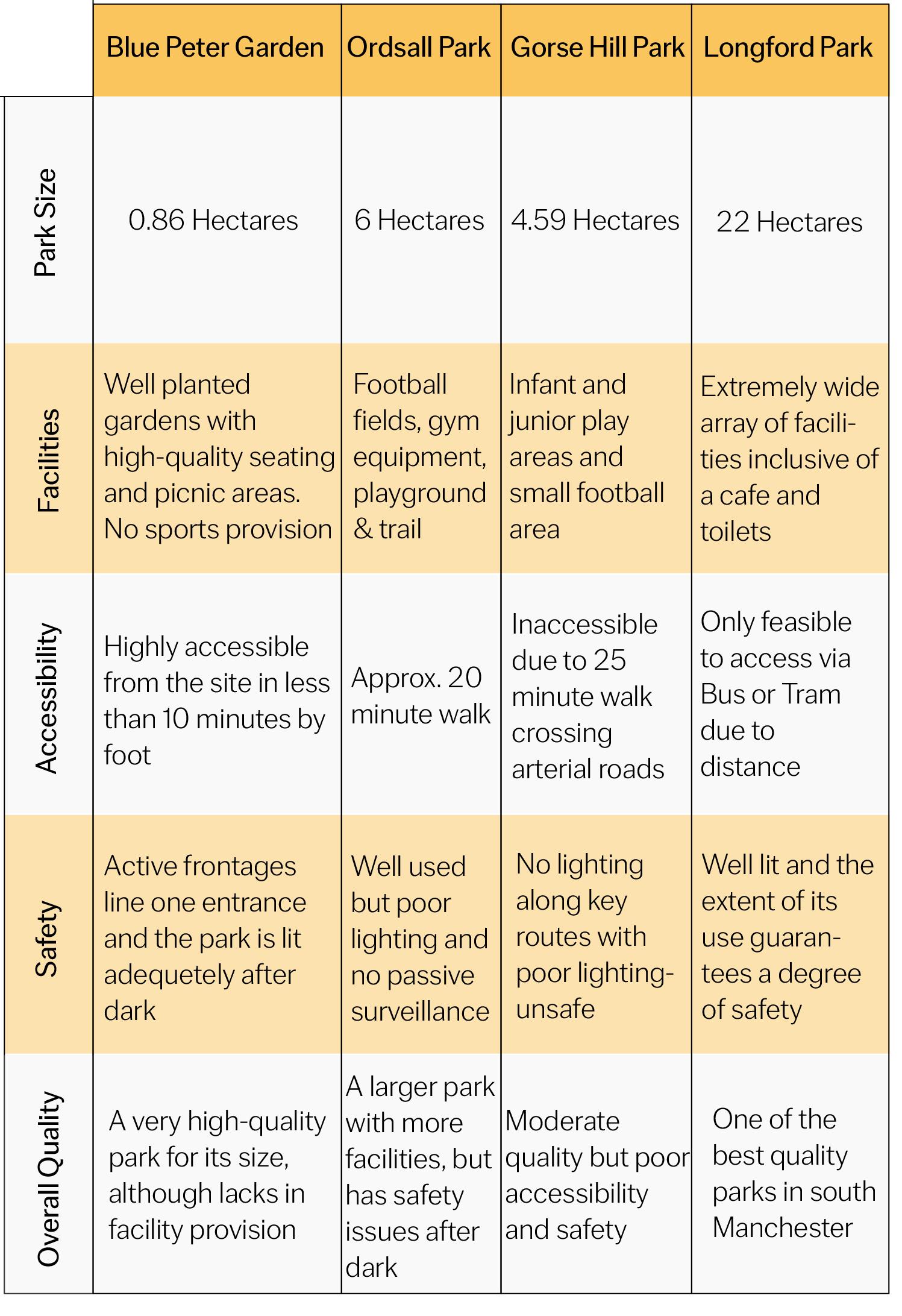
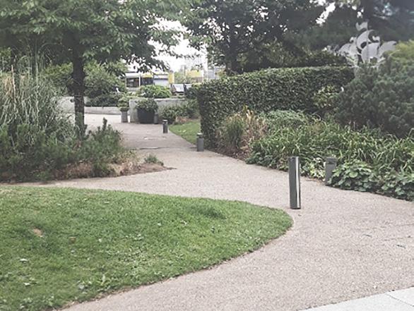
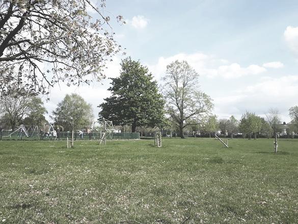
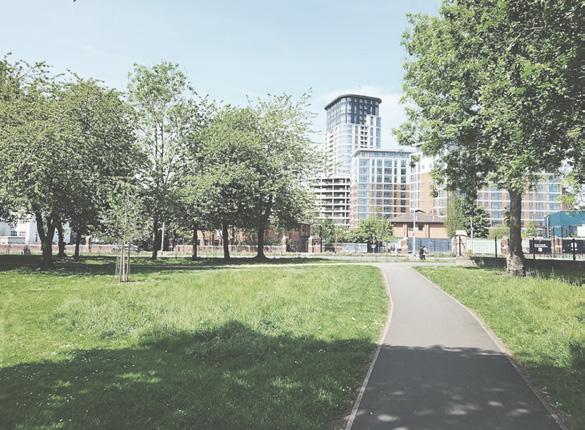
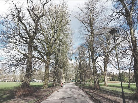
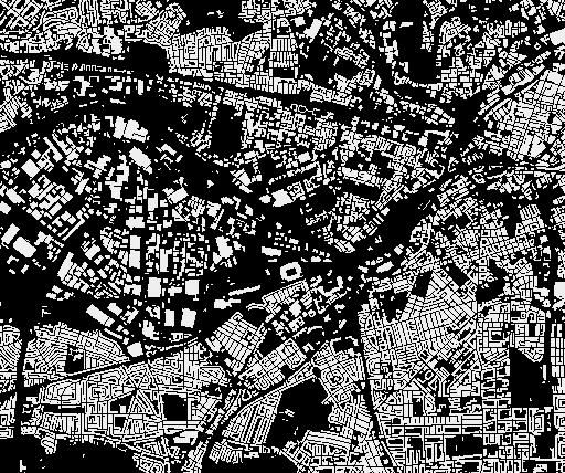

Blue peter garden Gorse hill park Nansen park
park Seymour park
park
park Monmouth park Weaste Cemetery Trafford ecology park Ordsall park 1 2 3 4 1500m 30min walk 1000m 20min walk 500m 10min walk Major GI Site Vehicle bridge Major pedestrian bridge Minor pedestrian bridge Trafford canal Area of biological importance Water sports only Licenced pleasure craft and water sports GI connection Intermediate GI Minor GI Other green space Blue Peter Garden Gorse Hill Park Ordsall Park Longford Park
Longford
Hullard
Saint Georges
24 Green Infrastructure Network Map All images on page are taken from Google Maps (2024) 1000 0 Metres
Blue Infrastructure
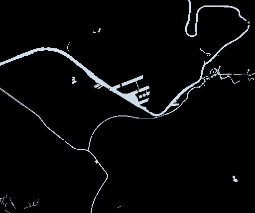
The local Blue Infrastructure Network establishes direct connections with key water bodies, namely the Manchester Ship Canal, North Bay, Eerie Bay, and Huron Bay. Each of these aquatic environments boasts its own distinctive charac ter and serves unique functions within the overall ecosystem.

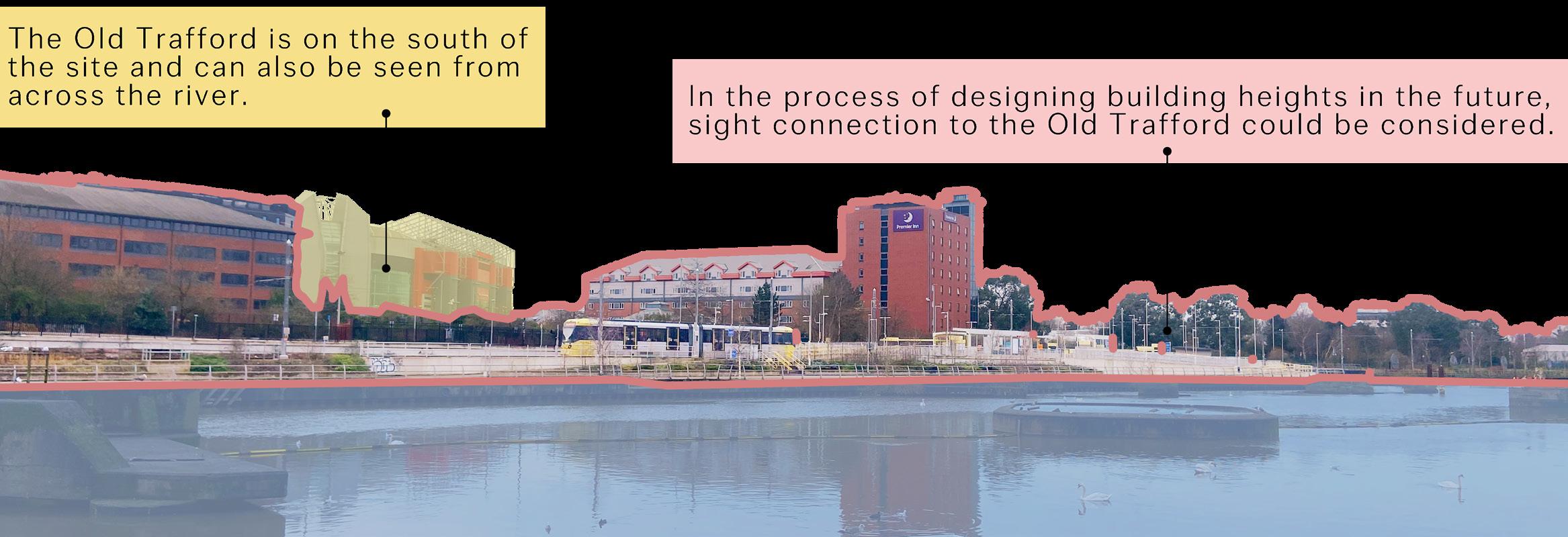
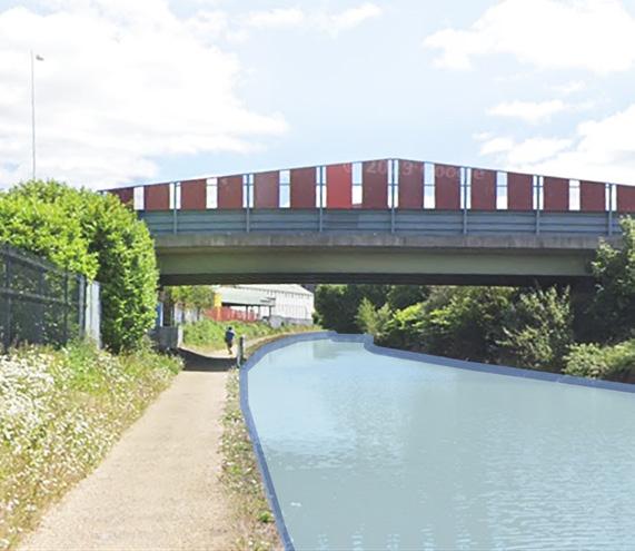
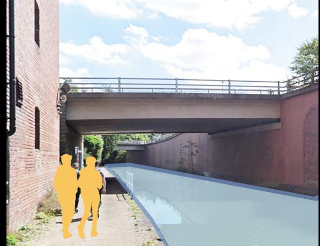
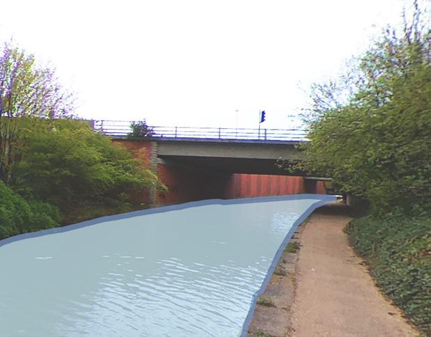
The walking experience on the canal is average, the green space on the south side is overgrown with trees and the buildings on the north side are of average quality and lack active frontage.
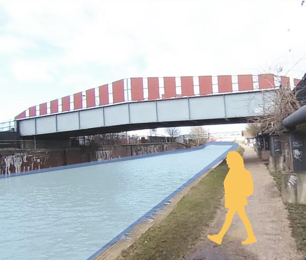
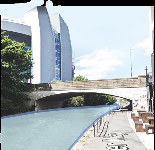
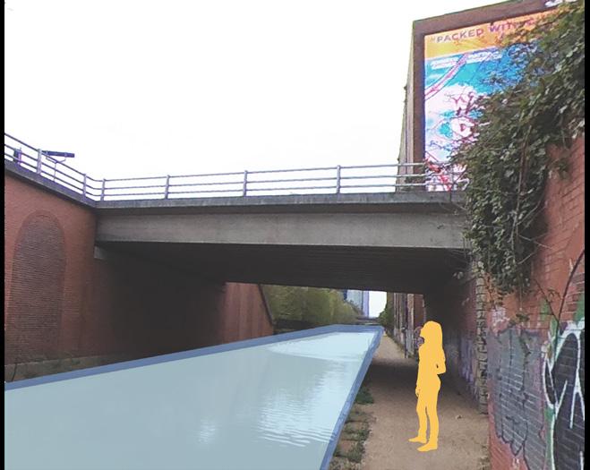

 View from the site
Bridgewater Canal
25
1500 0 Metres
Bridgewater Canal Analysis Map
Public Realm Analysis and Network
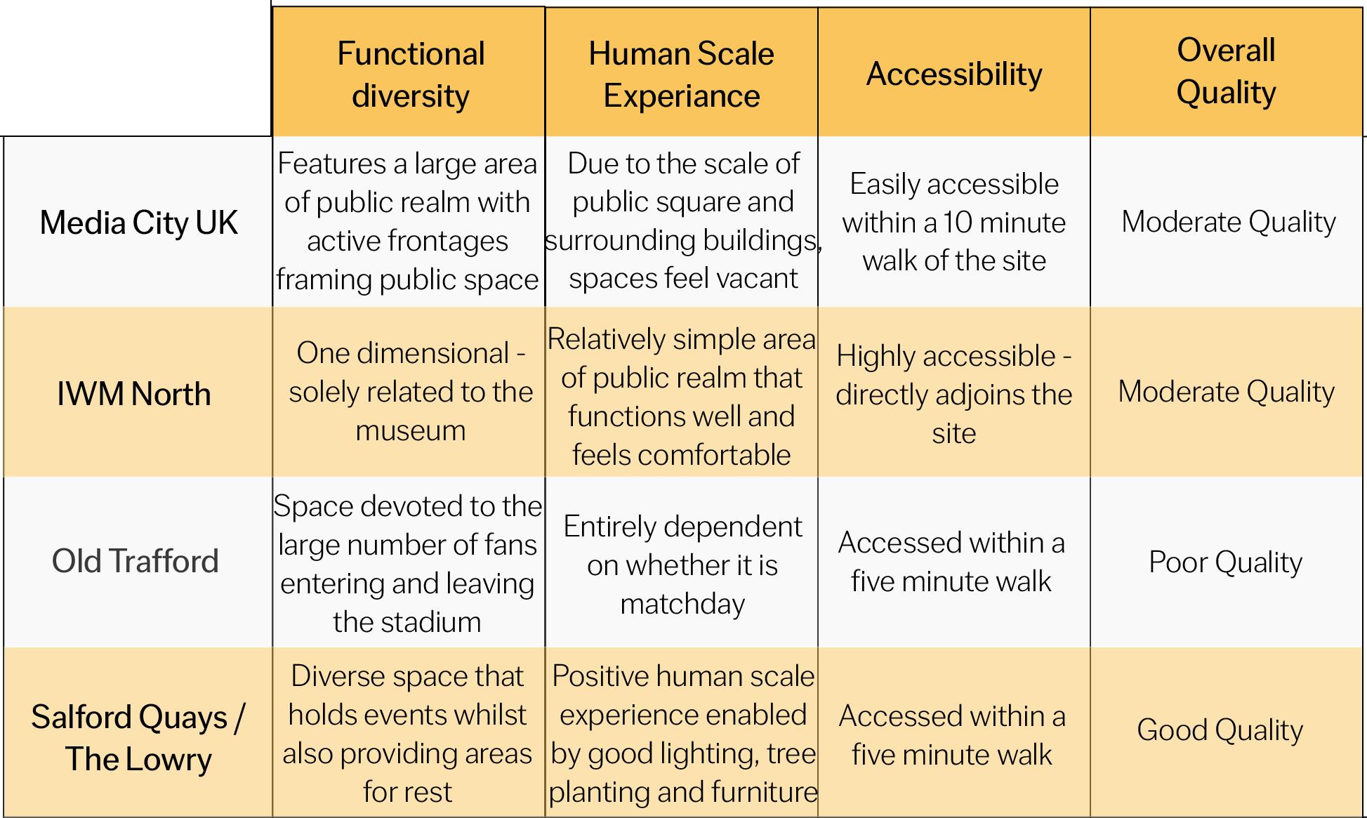
Within the site and its surrounding neighbourhood, a tapestry of significant public spaces adorned with landmarks unfolds, contributing to the area’s rich cultural fabric. There are four major public realm within area which not only enrich the urban landscape with their architectural splendor but also serve as dynamic hubs that cater to a spectrum of cultural, recreational, and communal needs, including:
Media City UK
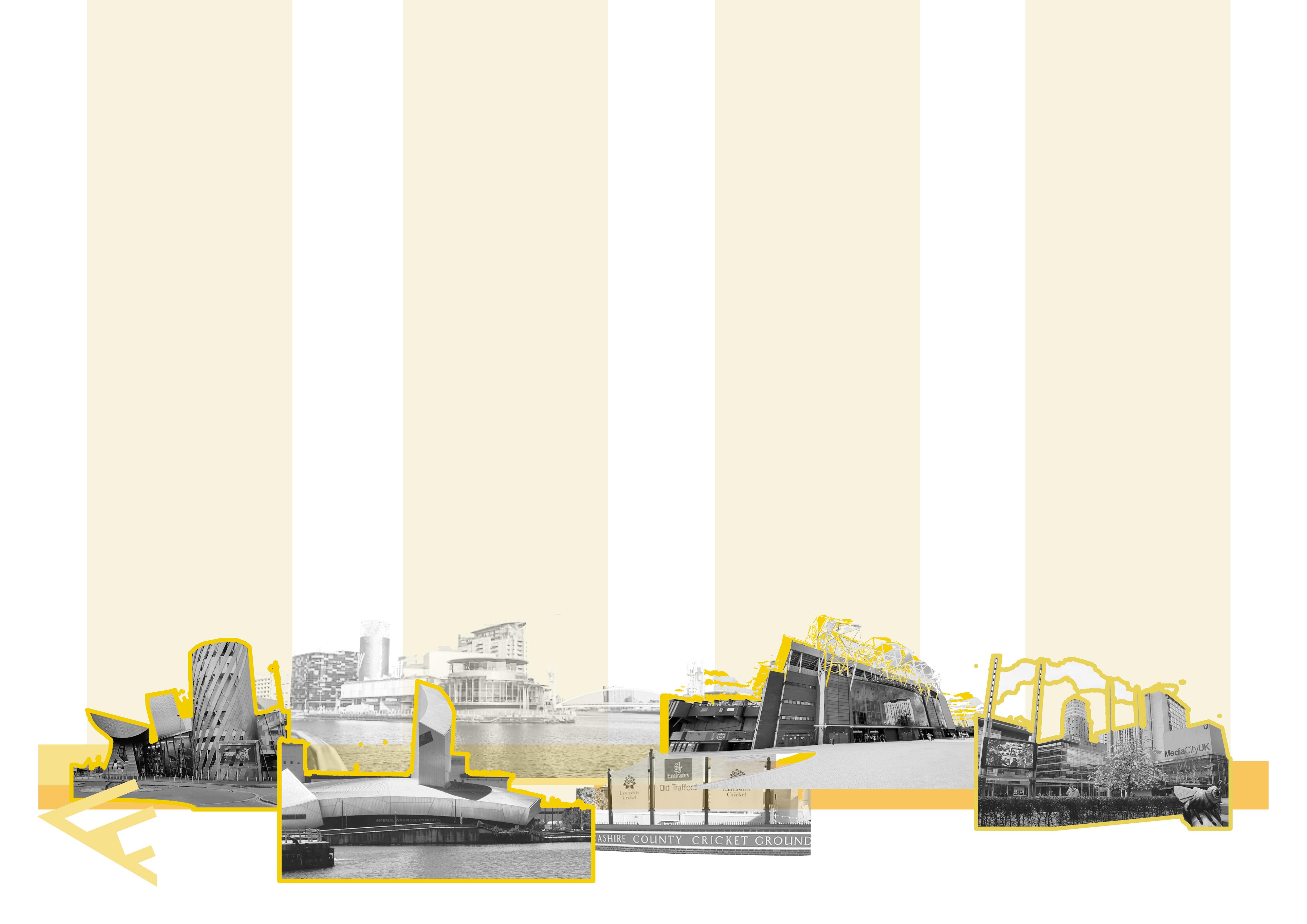
The Lowry
Old Trafford IWM North
26


Trafford Wharfside
bringing together work & play
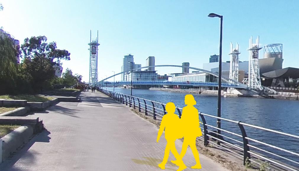
The pedestrian experience along the waterfront possesses moderate walkability. While a scenic river vista enhances the right side, the adjacent left green space suffers from inadequate design, exhibiting substandard quality. This demands attention as part of any comprehensive design interventions.
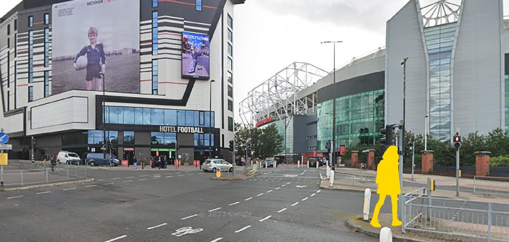
Situated along a bustling urban artery, the stadium’s accessibility hinges on a major traffic thoroughfare. The influx of vehicular activity, exacerbated on match days, poses a safety concern for pedestrians navigating the space.
Key Takeaways
• There are four major public spaces that are within a 20 minute walk of the site, with Old Trafford on the south side being a landmark building with a high concentration of people at certain days and times.
• The site itself is a vacuum within this network and disconnects public spaces to the north and south.
Old trafford cricket ground Old trafford IWM North The Lowry Media city UK Lowry outlets Trafford rown hall Trafford college Community center White retail park Oasis academy media city UK Way to the city center 1 2 3 4 1500m 30min walk 1000m 20min walk 500m 10min walk Major public realm Intermediate public realm Minor public realm Church Site Public realm connection Active area
27 Public Realm Network Map 0 1500 Metres
Facilities and Attractions
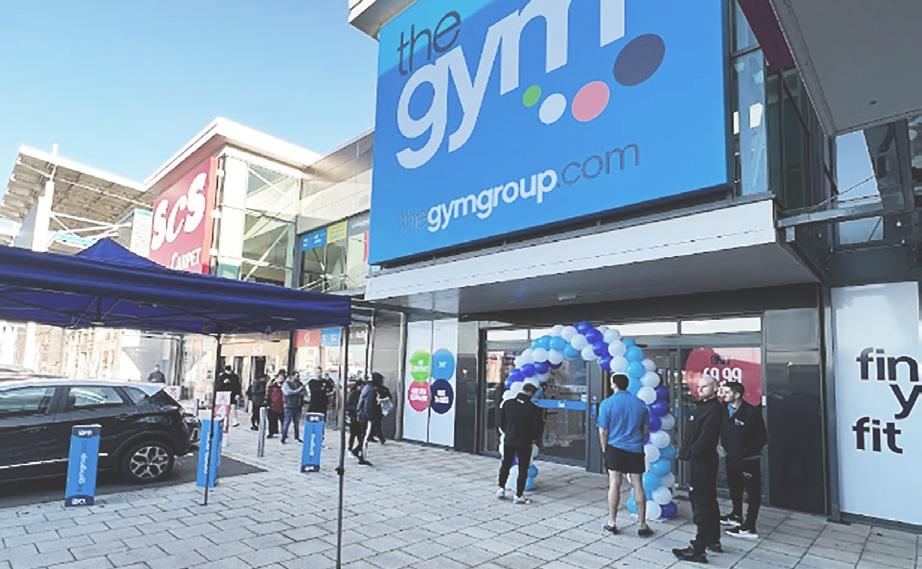
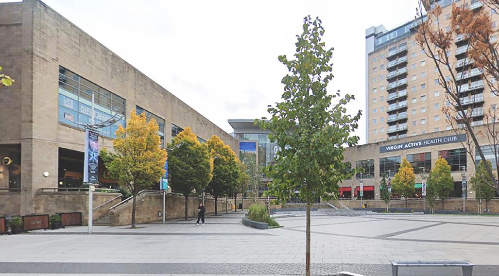
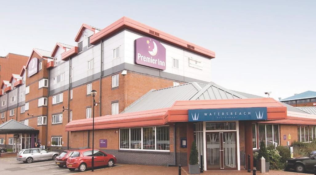
The site is enveloped by a diverse range of high-activity zones, each serving distinct urban functions. An array of vibrant entertainment, tourism, and commercial hubs are strategically complemented by proximate hotel amenities. This hotel network forms a crucial foundation for fostering further growth in tourism and entertainment.
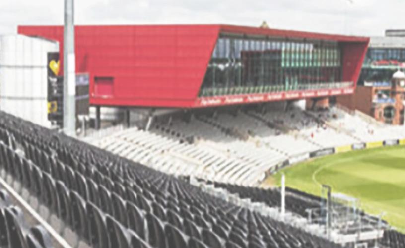
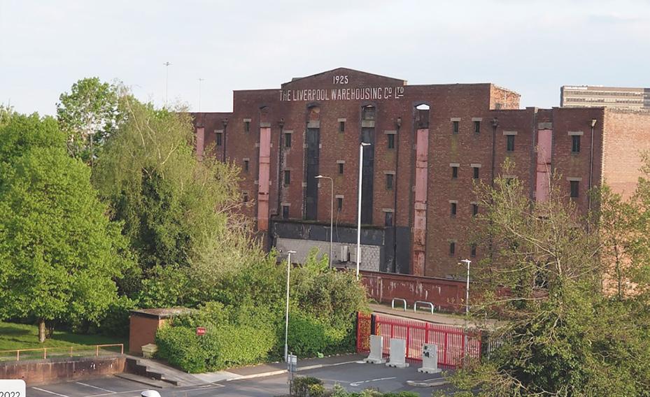
Media City boasts a dynamic mixed-use character, featuring high-quality office spaces, educational institutions, entertainment venues, retail outlets, and tourism amenities. On-site, Victoria Warehouse stands as an additional event facility ripe for strategic utilisation.


Although the site accommodates some lodging and tourist infrastructure, there is a noticeable absence of community facilities. Particularly noteworthy is the poor accessibility to existing schools. The dynamics of matchdays also significantly alters the site’s context, a facet to be explored in greater detail later.
1500m 30min walk 1000m 20min walk 500m 10min walk Community Education Tourism Police station Retail Leisure Hotel Parking Active area Site Relevant road Medical
Facilities
Cricket Ground Lowry Outlets
White City Retail Park
Premier Inn
Victoria Warehouse
Old Trafford
28
Ridge and Partners (2019)
VisitManchester
Yandex (2020)
(N.D)
VisitNorthWest (N.D)
Byrne
Facilities
0 1000 Metres
Premier Inn (2024)
(2024)
and Amenities Map
Lowry Outlets
The Lowry Outlets integrates retail and leisure uses within a contemporary urban landscape.
Cricket Ground
Old Trafford Cricket Groundoffers a dynamic space for cricket enthusiasts, though is increasingly used as a venue for other summer events.
Old Trafford
Old Trafford has an important role as a football stadium but is also a symbol of pride for Manchester United fans.
Victoria Warehouse
Victoria Warehouse integrates a remaining element of the area’s industrial heritage within a modern events space.
Trafford Wharfside
play
bringing together work &
29
Character
Wider Area
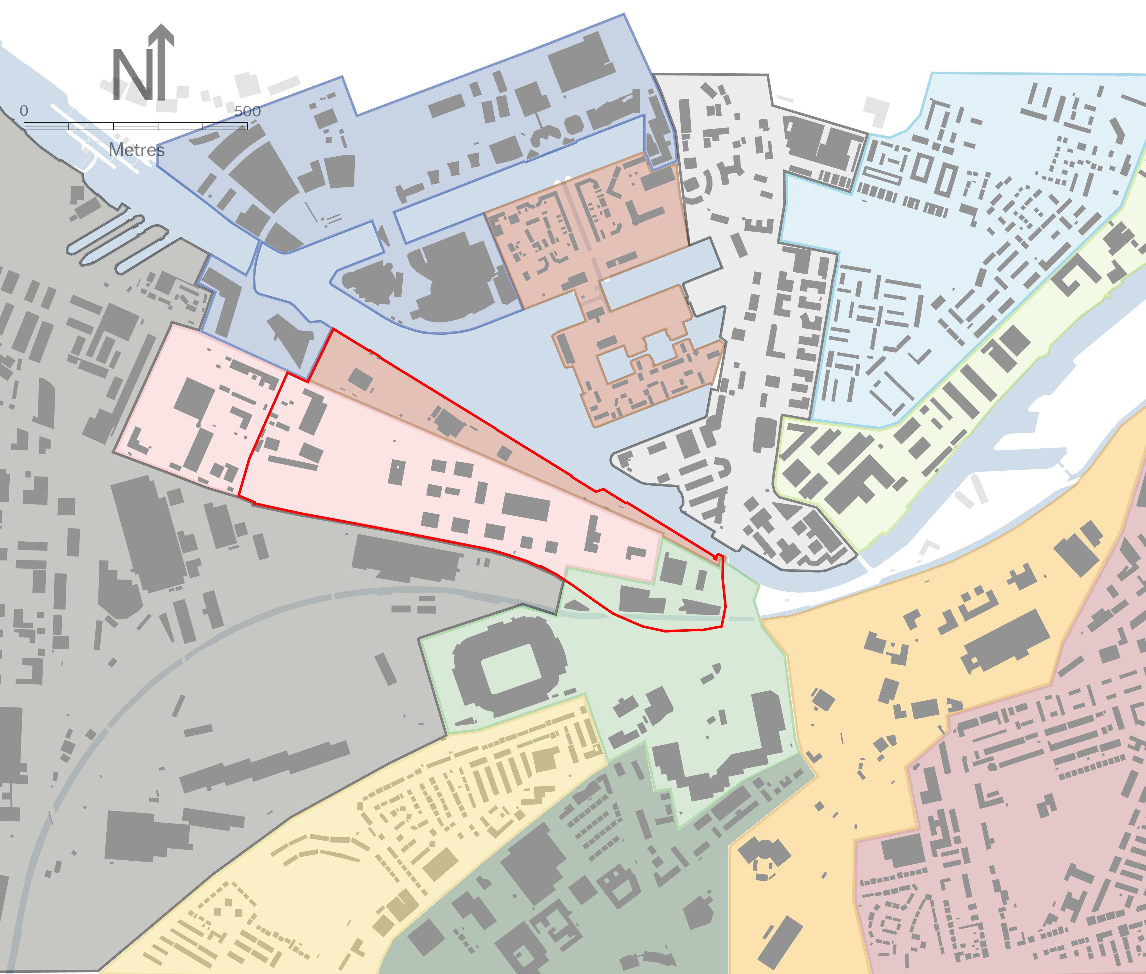
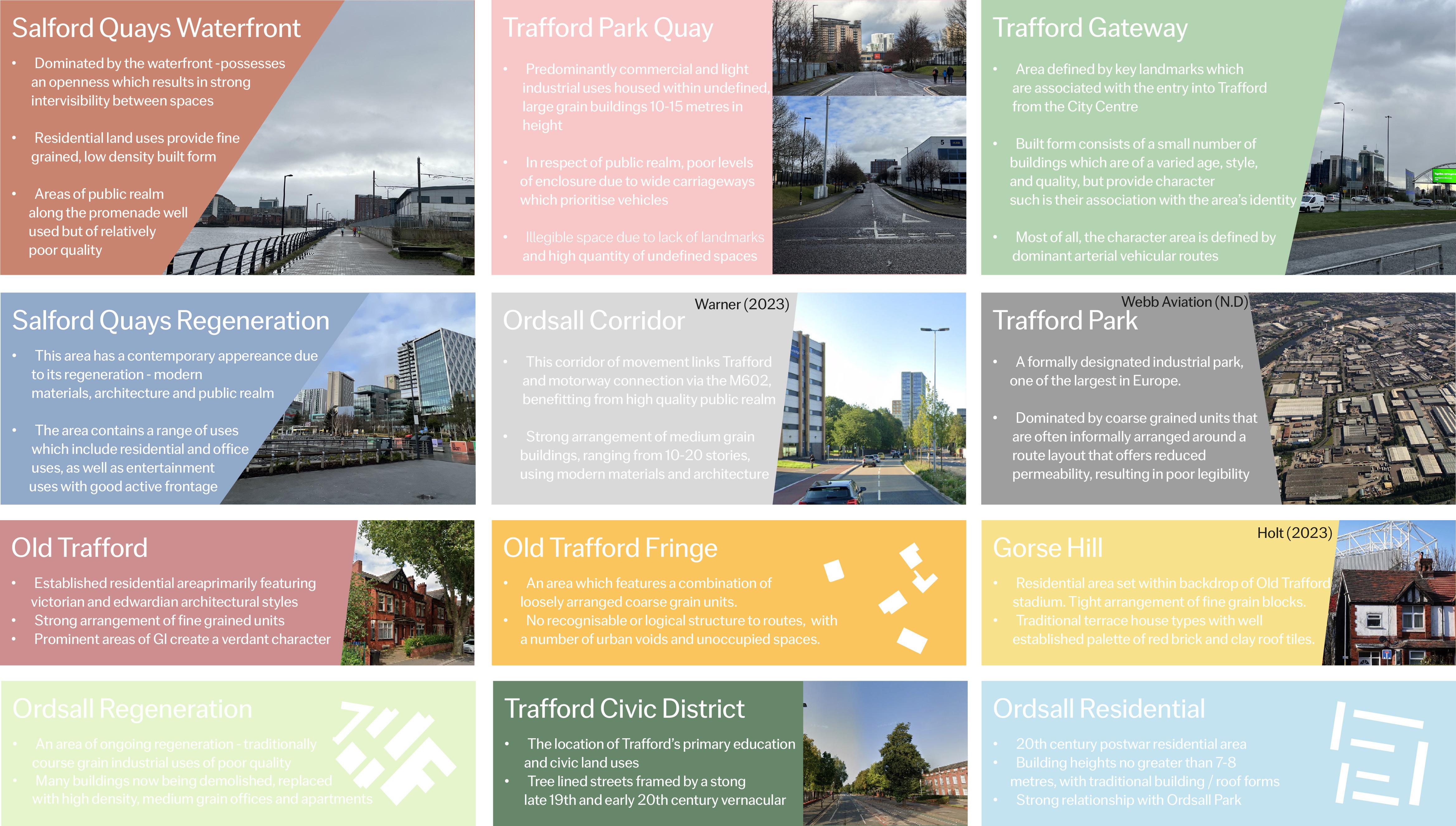
The area surrounding Trafford Wharfside features a wide range of different land uses, morphologies, architectural styles, building sizes or forms and landscapes which contribute to a range of character areas which can be identified. Twelve character areas have been identified within one kilometre of the site boundary which are extremely varied in typology, ranging from areas dominated by victorian terraced and semi-detached housing, areas of contemporary mixed use waterfront regeneration and areas dominated by a character resulting from heavy industrial land uses.
Site Character
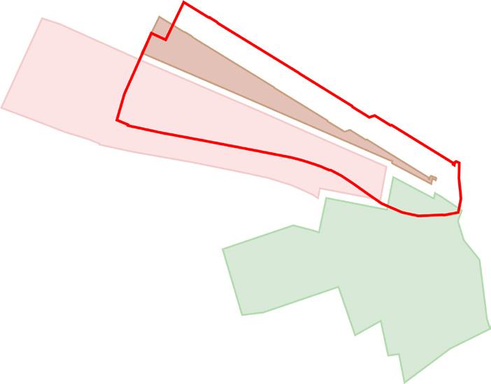
Three seperate character areas can be observed within the site. Such is the nature of these areas, the transition from one area to the next is stark and results in harsh boundaries between areas. Of these three areas, none are particularly strong and do not contribute significantly to this area of Trafford.
Key Takeaways:
• The site and wider area contain significantly varied characters which are relatively disconnected from eachother, beginning and ending abruptly without transition.
• Three character areas can be identified within the site, all of which extend beyond the site boundary.
To the east of the site are large, vacant areas of land which have no prevailing character
Salford Quays Residential
Trafford Gateway
30
Trafford Park Quay
Character Areas Map
Three seperate character areas are located within the site
Trafford Wharfside bringing together work & play 31
Legibility
All major, recognisable districts which help provide legibility are across the waterfront which is a barrier.
Strong sense of legibility to north of site where there are fewer barriers, more established routes and major landmarks
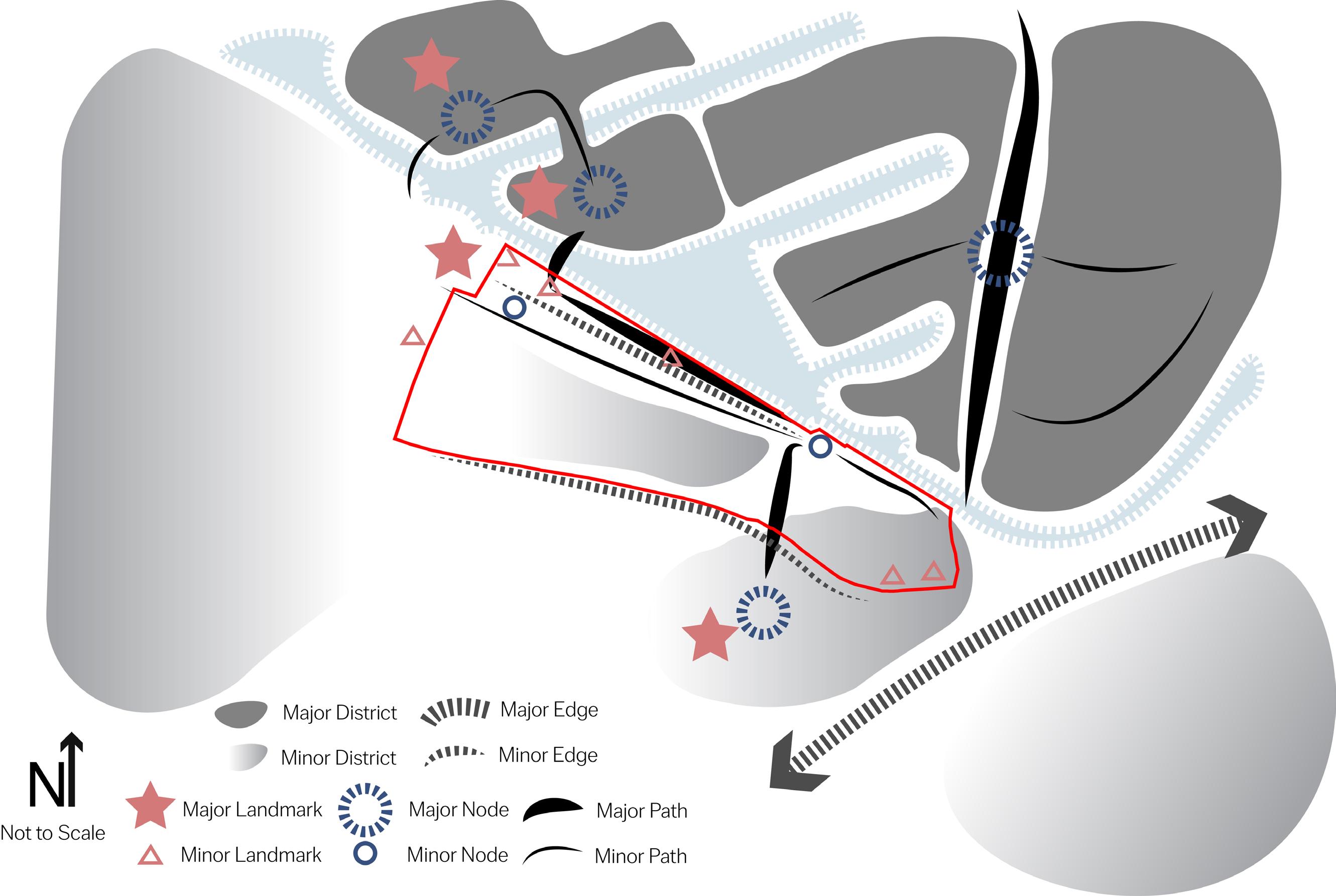
The site lies in a compromised position with regard to legibility insofar as there are poorly defined districts to the south, east and west. The two major districts within the area are located across the waterfront, which although visible from the site, are not easily accessible.
The northern edge of the site is where the most pedestrian activity occurs. This area benefits from a clear route which is well lit and features a series of landmarks, however, the presence of the Metrolink line severely restricts movement.
Chester Road acts as a major barrier to pedestrians which prevents almost all movement south west of the site
Serial Vision
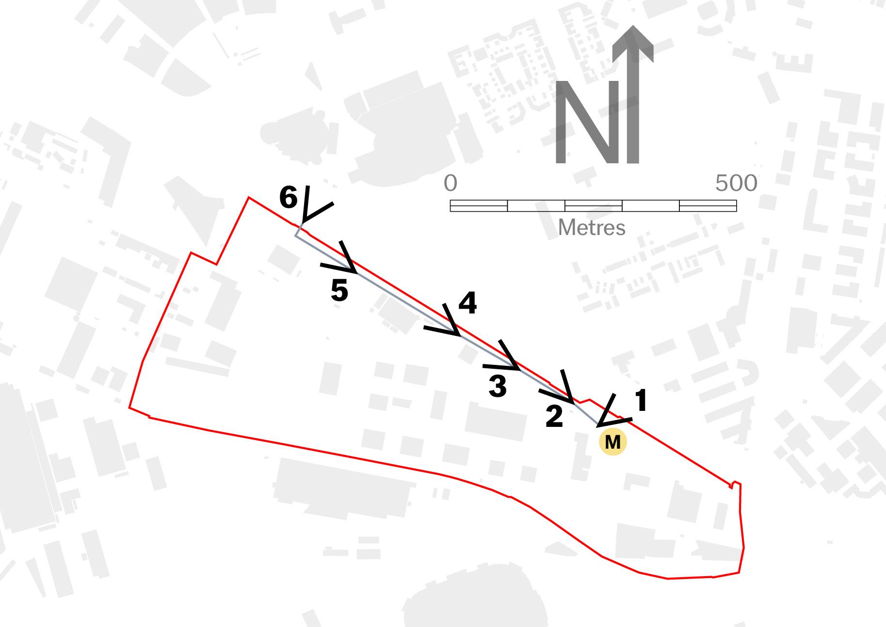
Most pedestrians which use the site often arrive by Tram. Immediately next to the tram stop, an existing waterfront promenade provides a well used area of public realm which connects the site with Salford Quays and Media City.
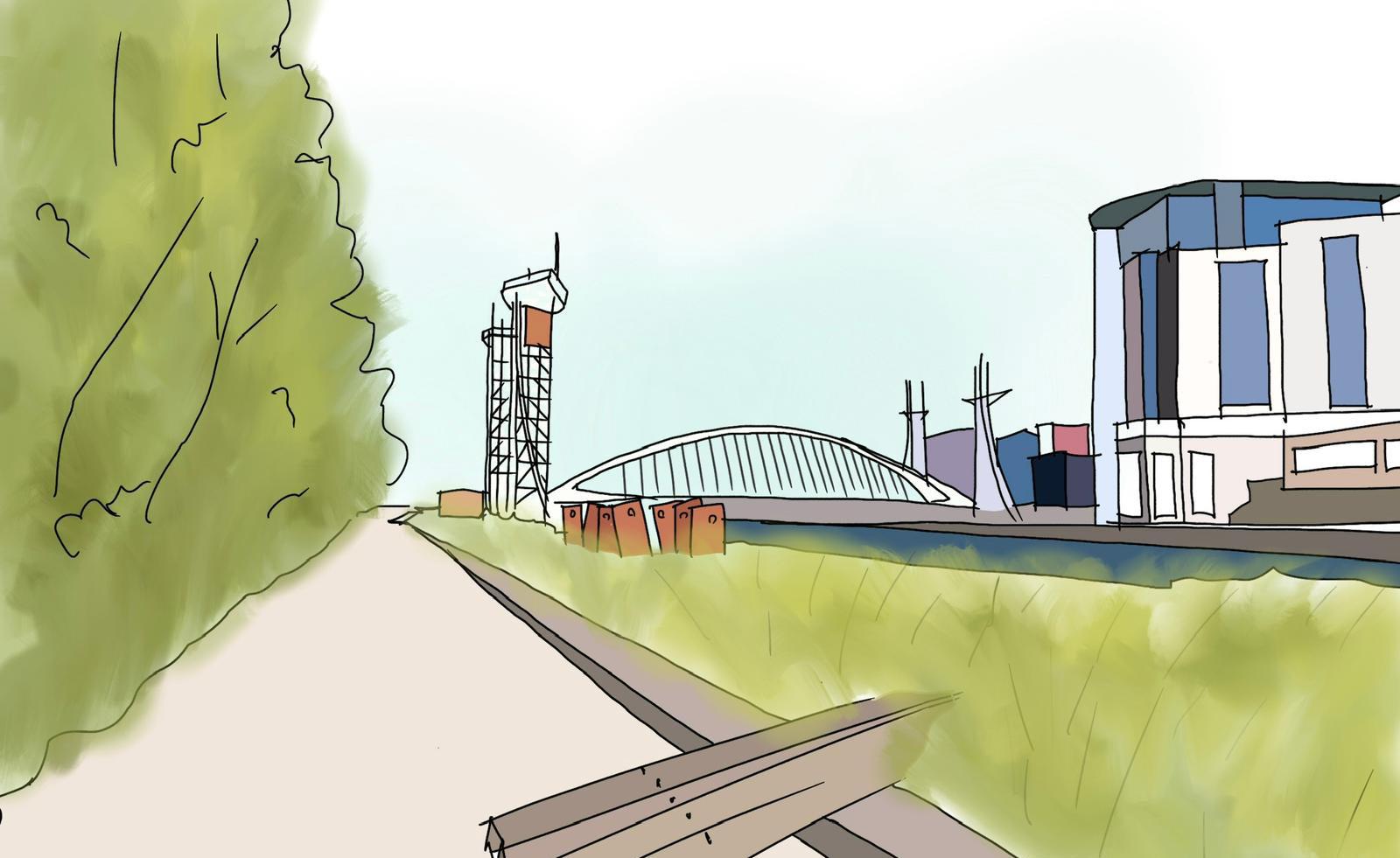
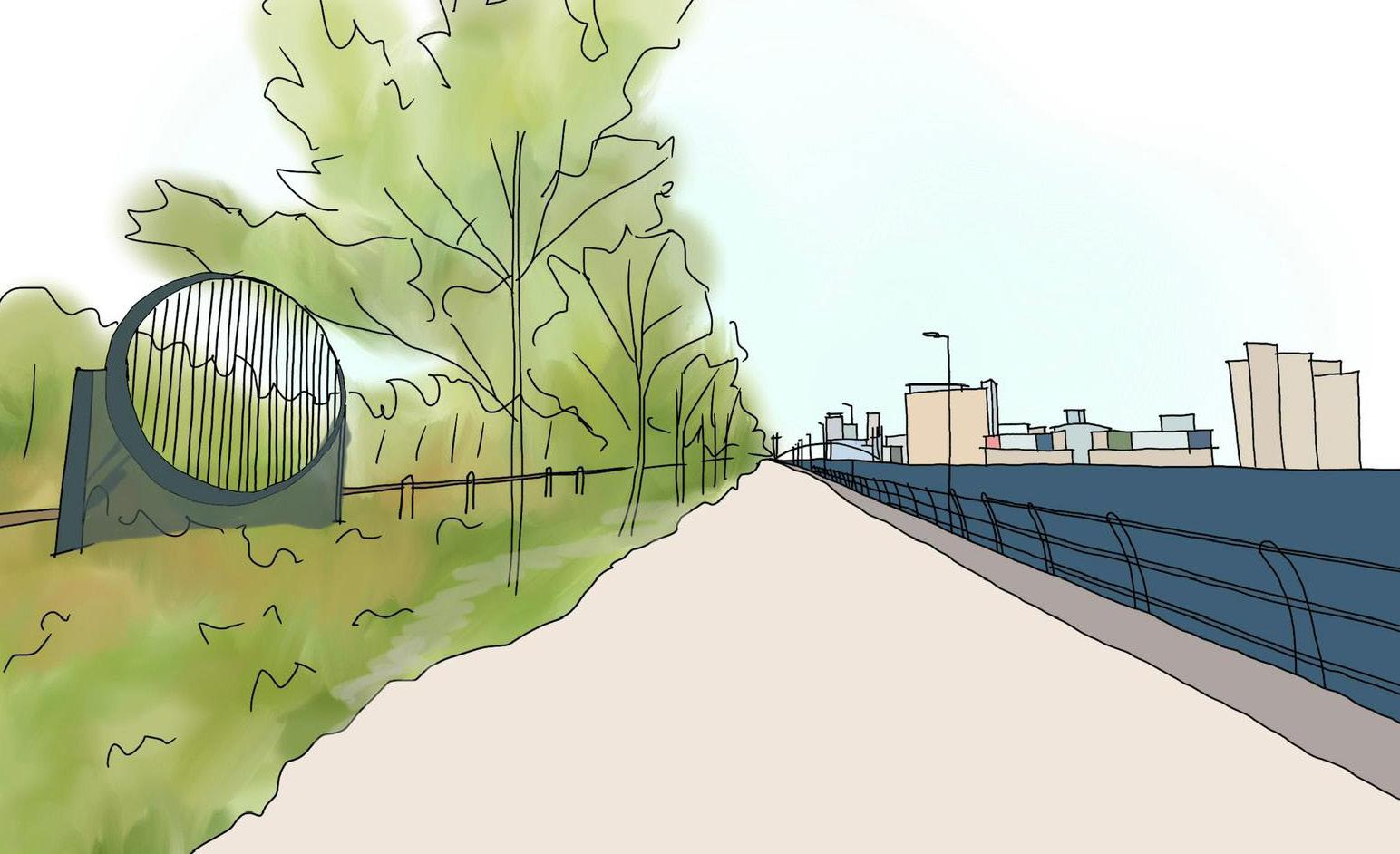
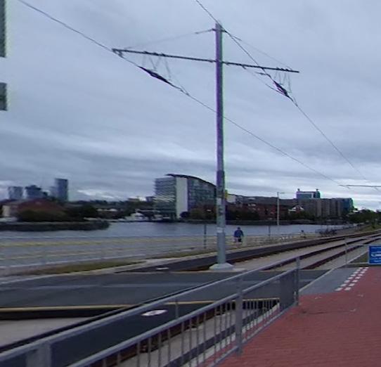
A serial vision of this route illustrated on the page opposite indicates that the pedestrianised waterfront route can be experienced differently at various stages on the route. It is clear that the Metrolink line and ovegrown vegetation provide significant physical and visual barriers which result in a poor sense of place and awareness of the surrounding environment.
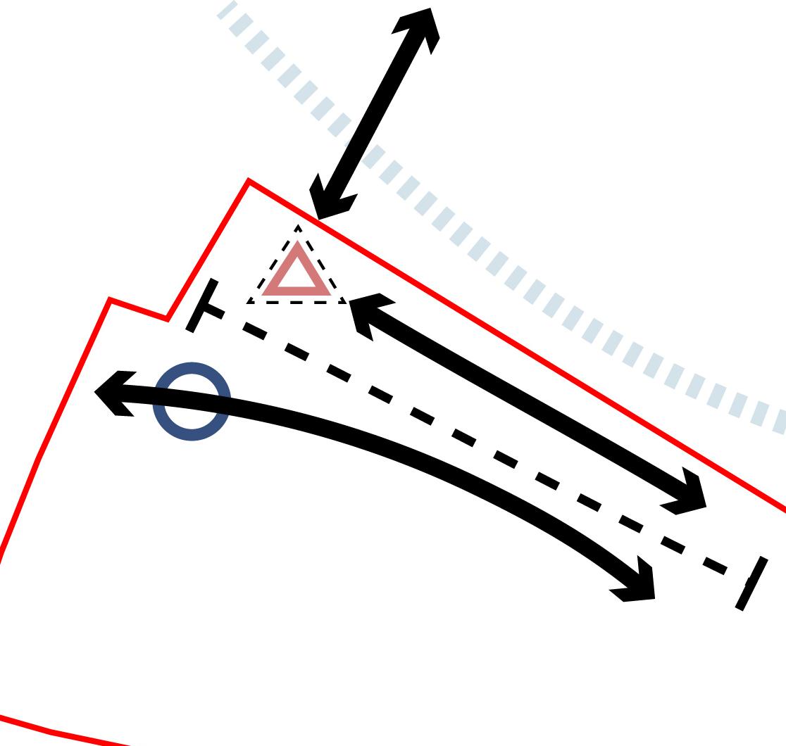
Tram Line prevents pedestrian connections between Trafford Wharf Road and the Waterfront
Key Takeaways:
• A large number of landmarks surround the site but there insufficient routes and recognisable districts which significantly restrict legibility
• Three character areas can be identified within the site, all of which extend beyond the site boundary.Additional character areas terminating at the site boundary contribute to a complex surrouding context in respect of Character.
Trafford Park
Old Trafford
Ordsall (Salford)
Salford Quays / MediaCity
32
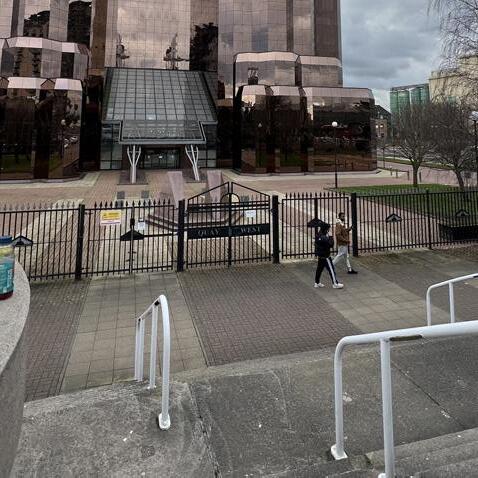
Metal gates bordering private space impede on legibility on approach from Millenium Bridge
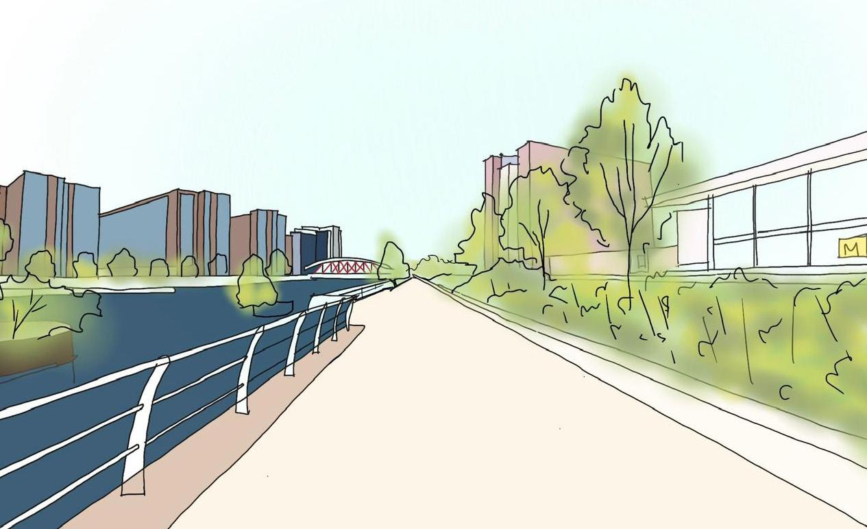
1.
Emerging from the tram to the right, regeneration across the waterfront in Ordsall is visible.
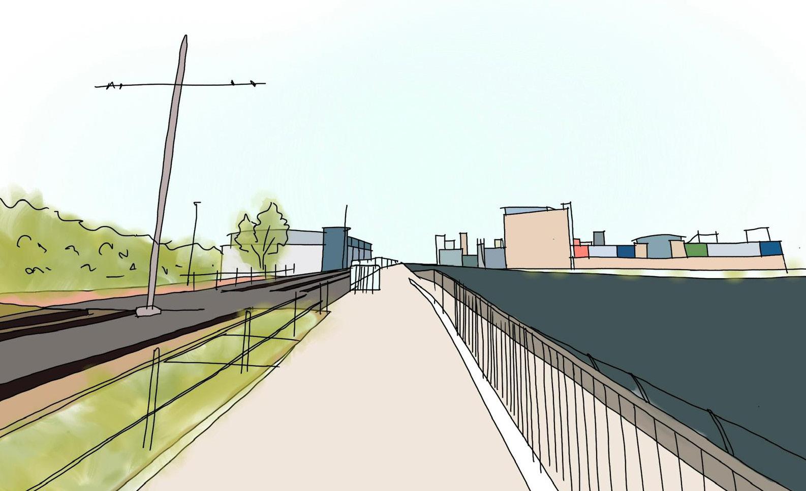
A level crossing provides a single opportunity to cross the Metrolink line, with reduced prominence of GI. 4.
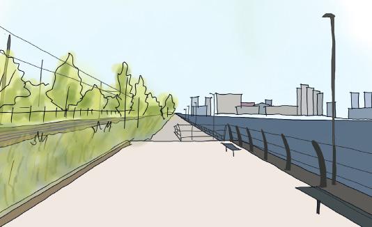
2.
Turning left, the route naturally progresses along the waterfront which has a feel of openness.
5.
Close to the bridge between the site and Salford Quays, the route divides around an area of public realm.
3.
Dense vegetation and Green Infrastructure screens the Metrolink line but is significantly overgrown.
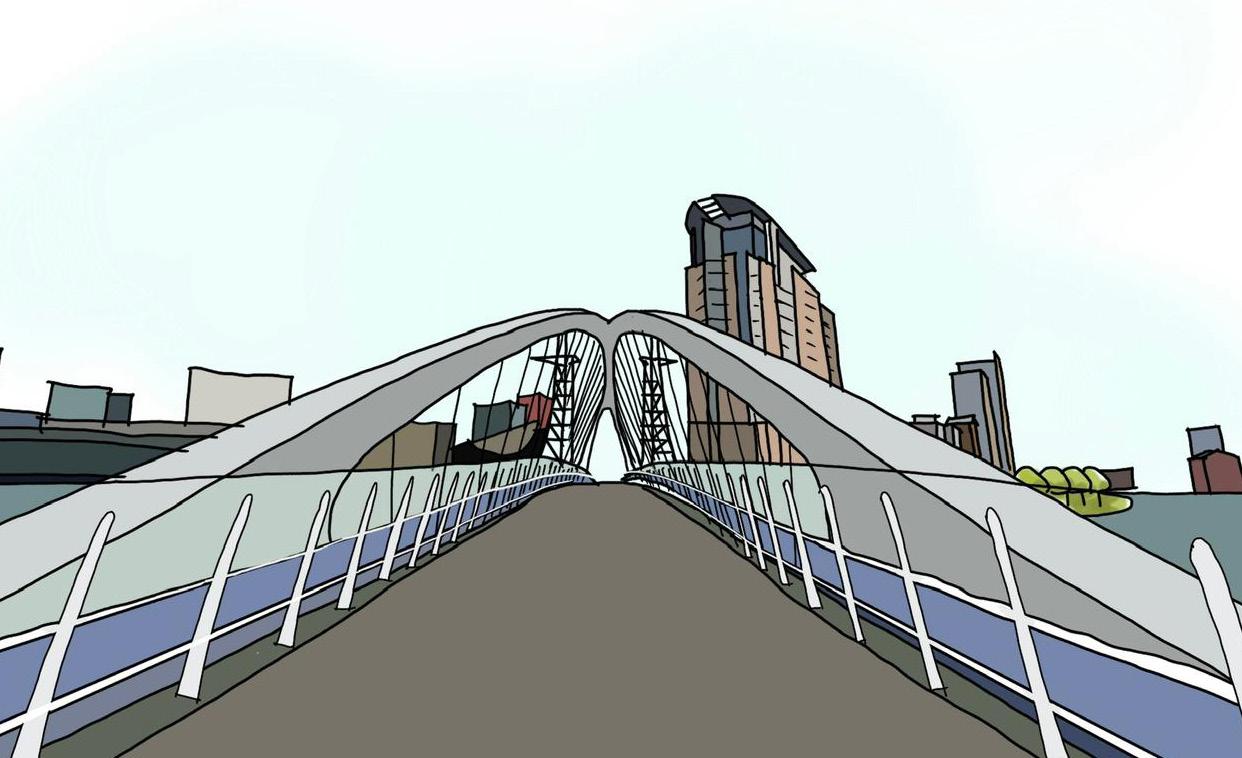
The Millenium Bridge signifies arrival into Salford Quays, framed by the Lowry Theatre and the Lowry Shopping Centre. 6.
Trafford Wharfside bringing together work & play
33
Site Attributes
Topography

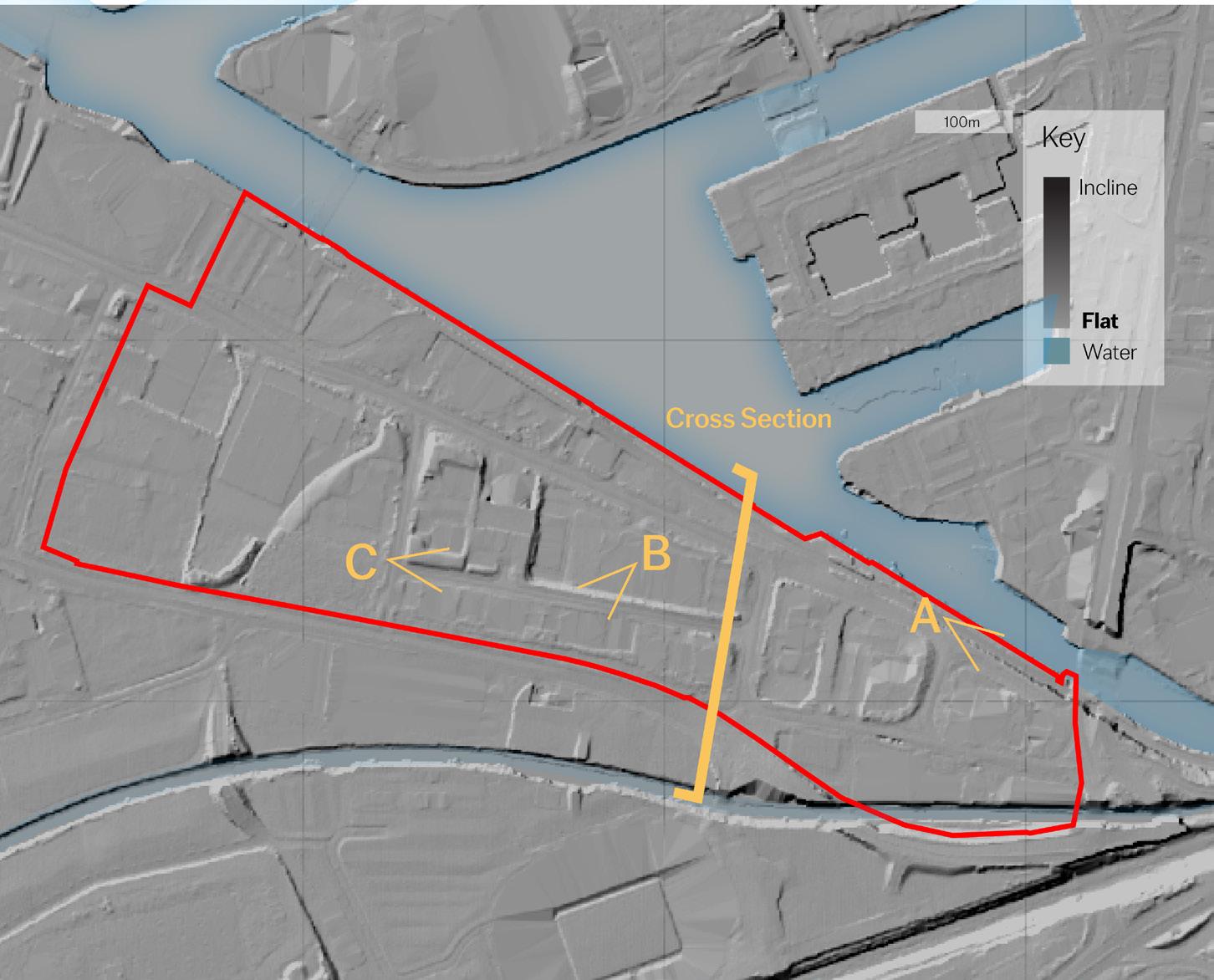
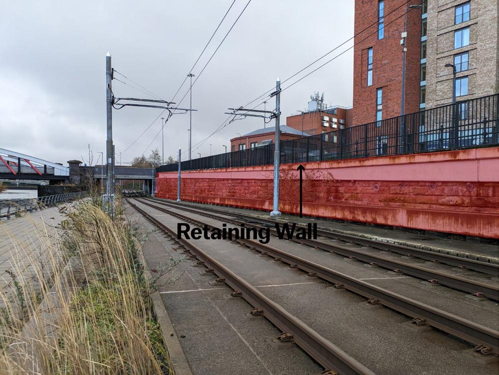
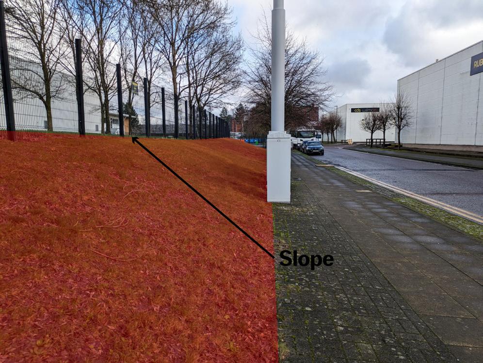
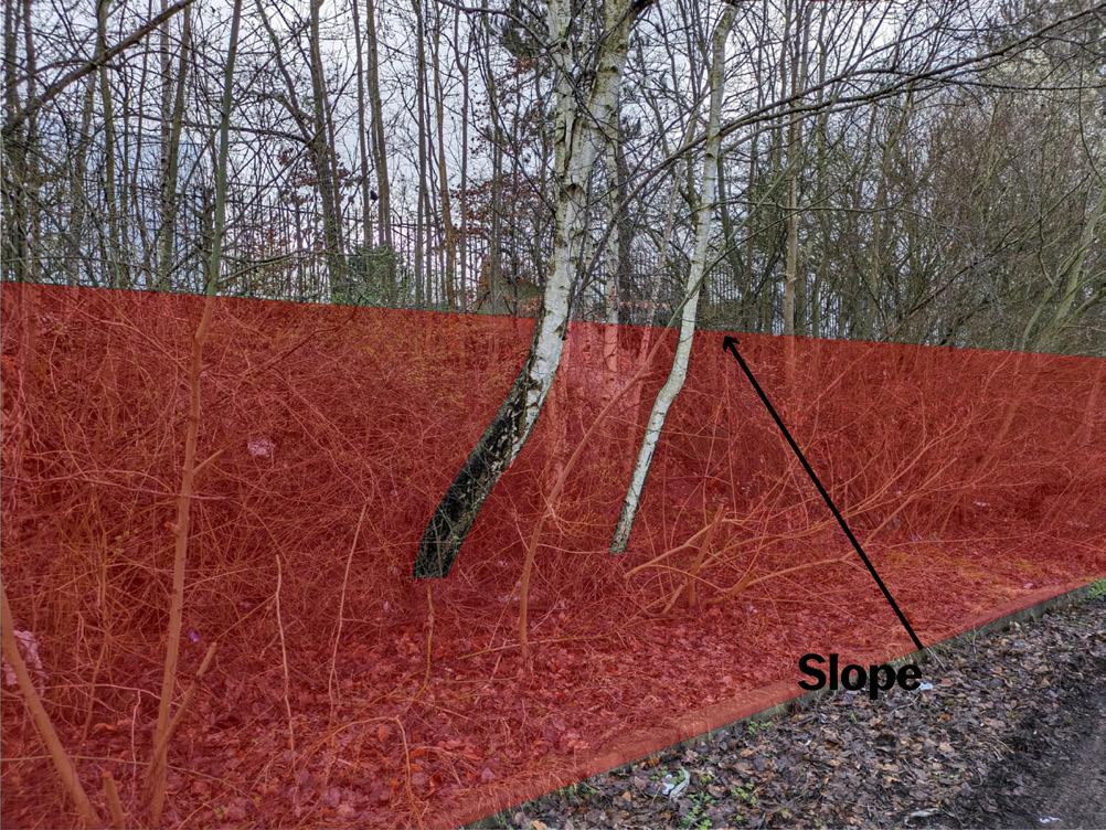
The lidar map to the left accurately depicts the topography of the site by showing in darker the areas that are inclined. In the map there are three viewpoints which can be seen above. These represent some of the most significant level changes within the site.
The cross section located above shows that the canal to the South (lefthand side), and Salford Quays to the North (right-hand side) of the site are at different heights, as the site slopes down to the north. The cross-section indicates the relative width of the site at this point and shows the width of traffic lanes, with heavily prioritise vehicles.
A.
B. C.
34
Long Section between Canal and Ship Canal
Key Environmental Issues
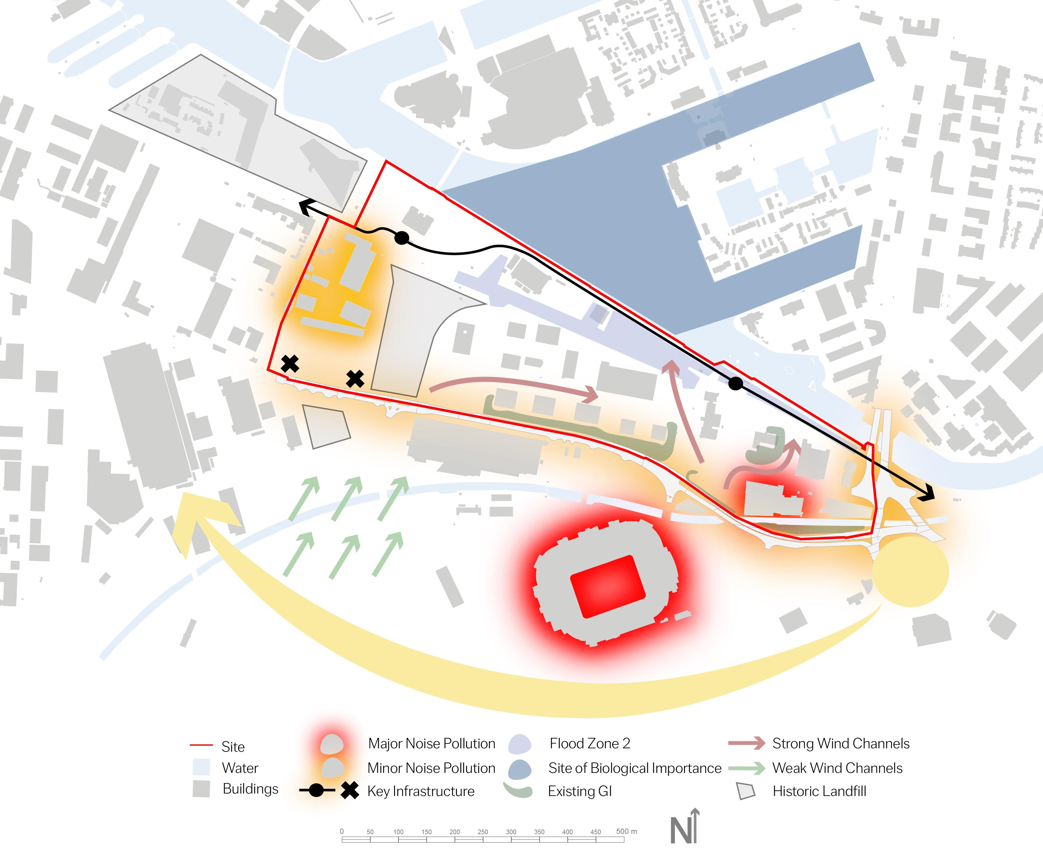
A combination of the site’s size, historic use and surroundings results in a number of environmental considerations that must be taken into account. Flood Zone 2 masks the edges of the canal as well as some of Trafford Wharf road that is within the site, with areas of historic landfill located within and surrounding the site which may require remediation.
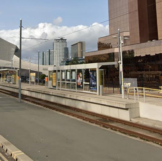
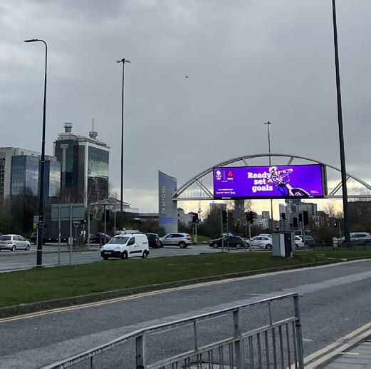
Whilst the presence of two Metrolink stops provides a unique benefit and opportunity for the site, the infrastructure associated with it including tram lines, stops and overhead wires, are physical and visual contraints.
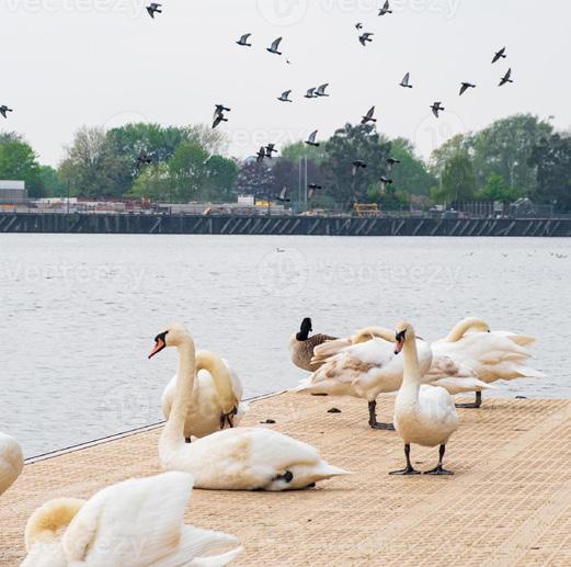
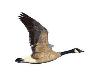
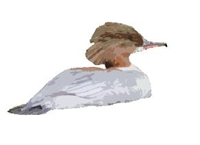
Birds of Salford Quays
The Salford Quays Site of Biological Importance (SBI) directly adjoins the site and provides an important habitat for a range of birds.






Key Takeaways:
• The site features various environmental constraints which must be considered. A number of these, such as the site of biological importance and Metrolink infrastrusture, do however provide key opportunities for the site to deliver improvement to these assets.
• Other aspects such as areas of historic landfill and flood zones constrain the feasbility of development in certain areas.
Trafford Wharfside
bringing together work & play
Canadian Goose
European Goldfinch
Comorant
Peregrine Falcon Coot
Chiffchaff Swan
Red-Breasted Merganser
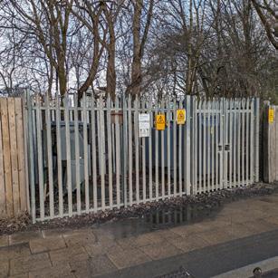
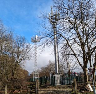
5G Towers Substation
Trafford Road Junction
Site of Biological Importance Metrolink Stop
Matchday Activity
35 Environmental Considerations Map
Master Manchester (2023)
Site Identity
Building Quality and Frontages
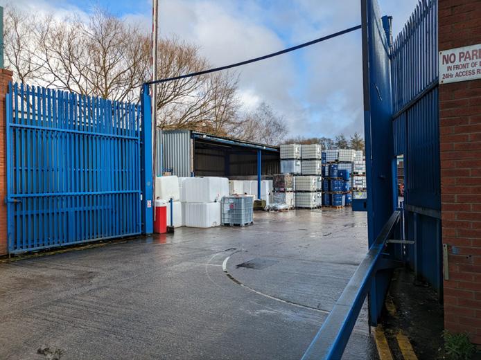
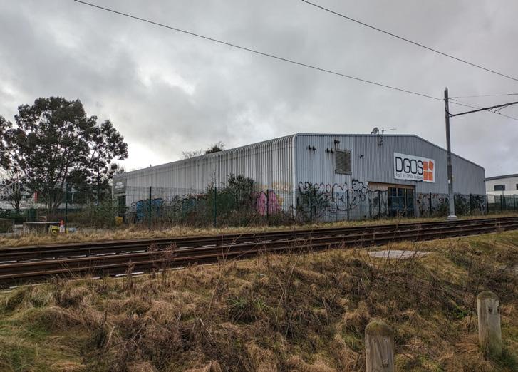
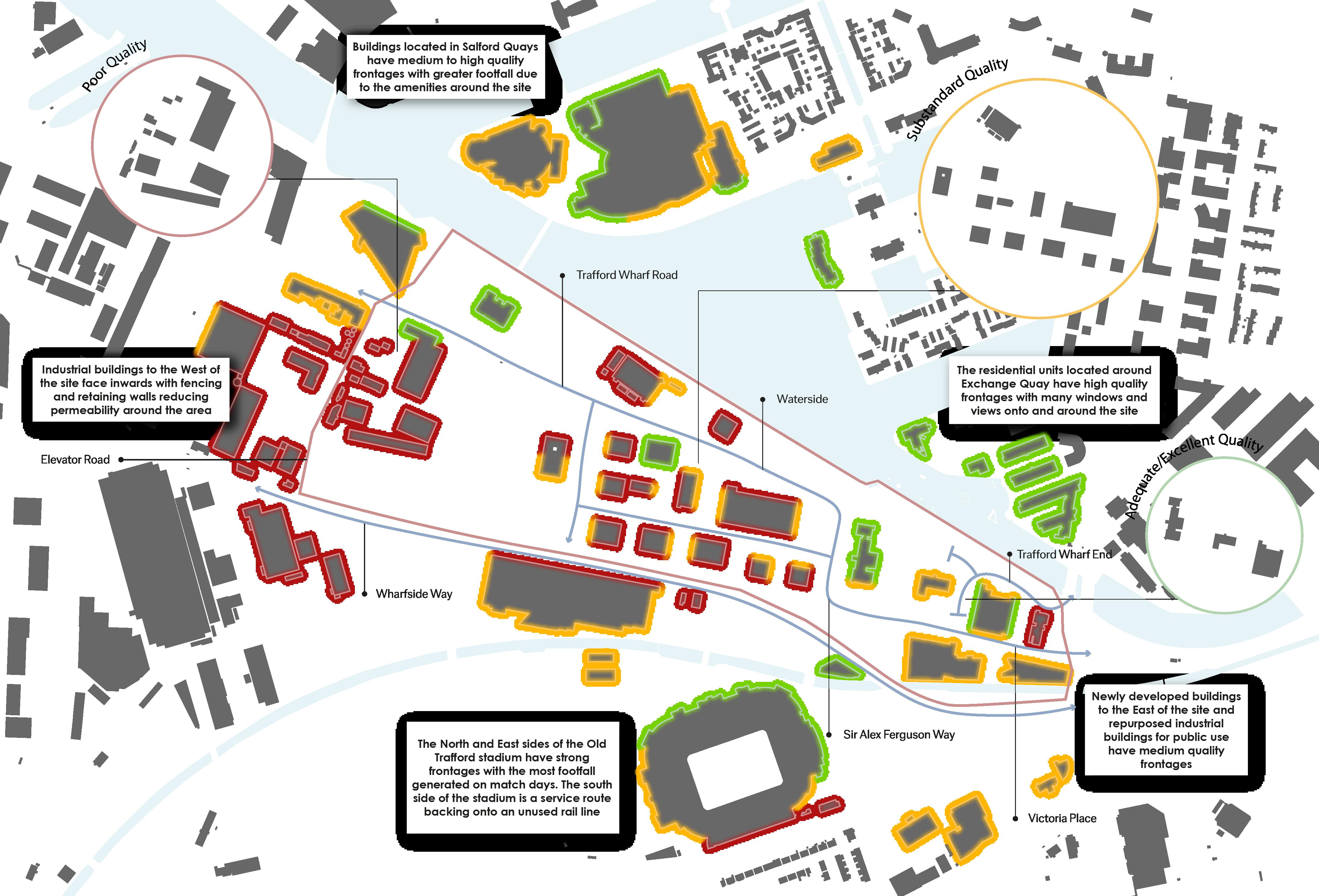
Poorer Quality buildings are located to the West side of the site. These buildings have enough maintenance for industrial use, however, they serve on aesthetic purpose and add no value to the townscape. These buildings also provide poor frontages onto the surrounding area.
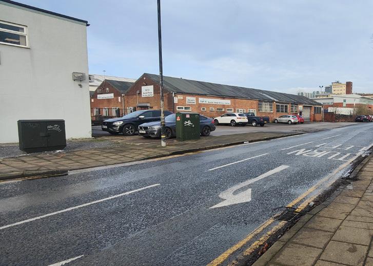
Substandard Quality buildings are concentrated in the central part of the site. These structures are well maintained, have decent architectural quality, however their impact on the surrounding townscape is minimal. The frontages are not very strong, especially with a GI barrier surrounding most buildings.
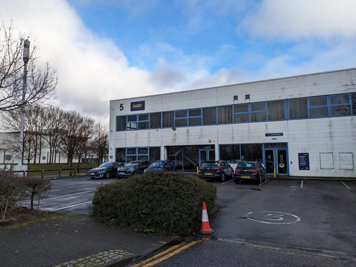
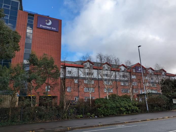
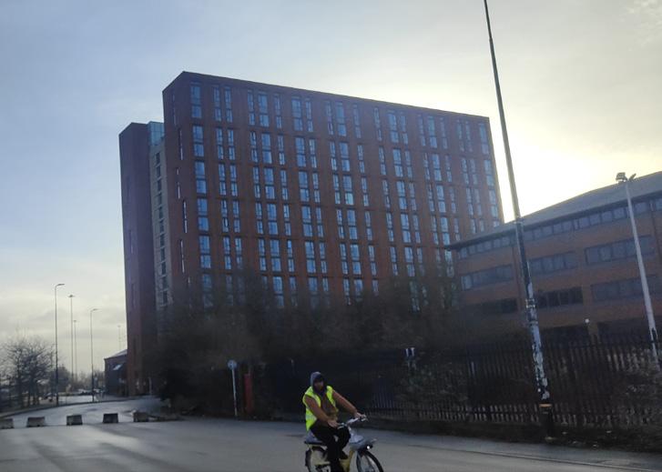
Excellent and Adequate Quality buildings are located to the East of the site. Some of these buildings have a more public use such as the Premier Inn hotel and Victoria Warehouse hence their stronger frontage. The new development in this area has excellent architectural quality, is well maintained and has a significant impact on the local townscape.
Key Takeaways:
Stronger frontages and higher quality buildings are located to the East of the site whilst poorer buildings are located centrally and to the West. Key structures in the surrounding area such as Old Trafford and MediaCity UK provide strong frontage onto the site from a distance which we will hope to take advantage of when developing the area.
Site Strong Frontage Medium Frontage Poor Frontage
36 Building Frontage and Quality Map 500 0 Metres
bringing together work & play
Edges and Views
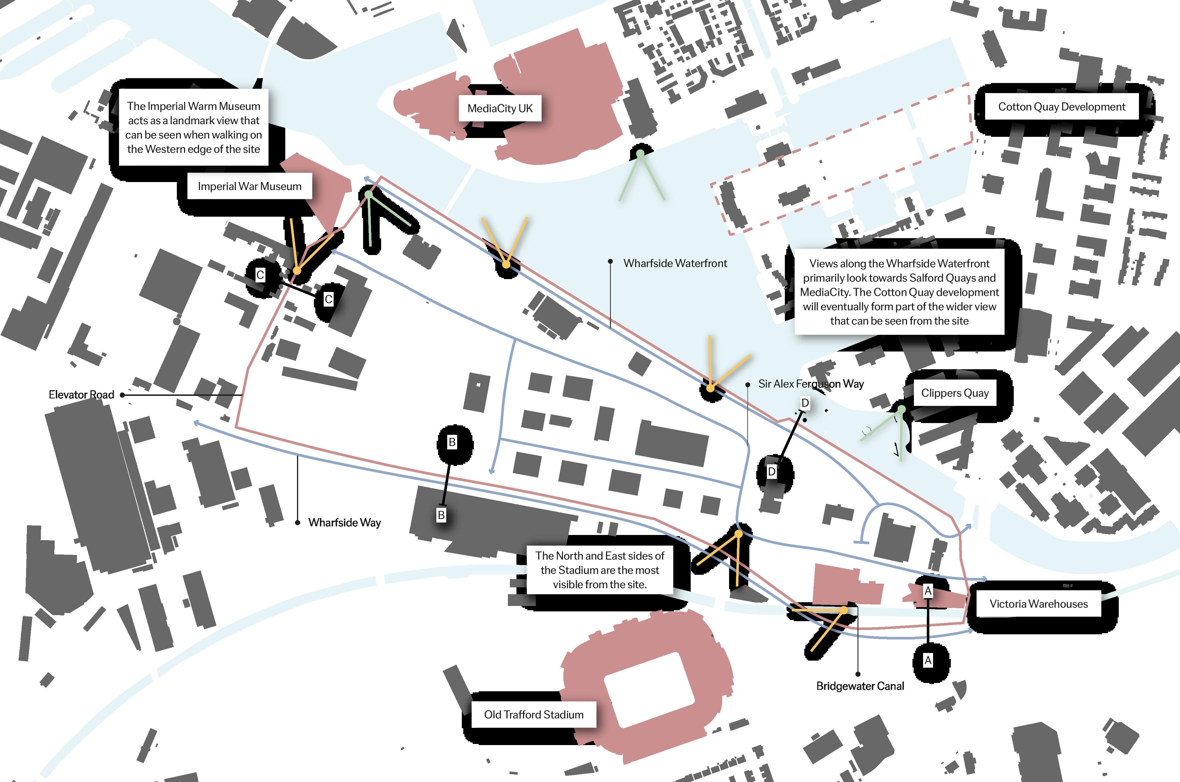
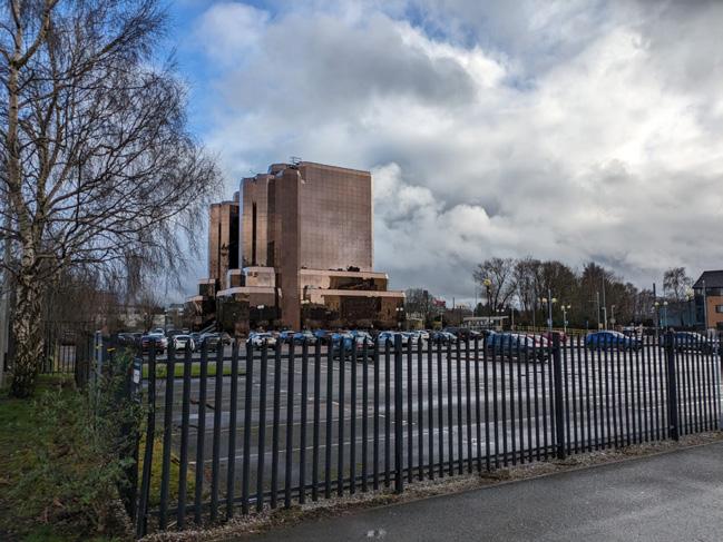
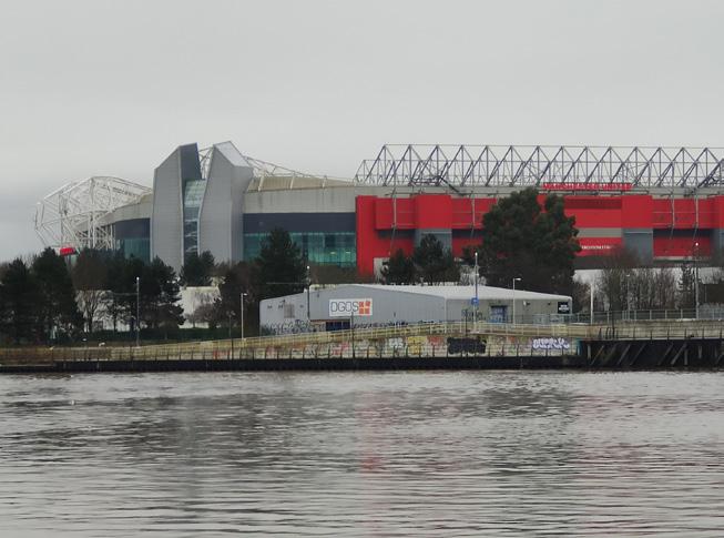
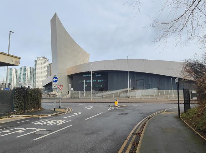
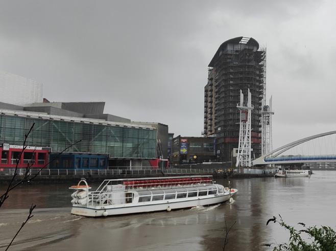
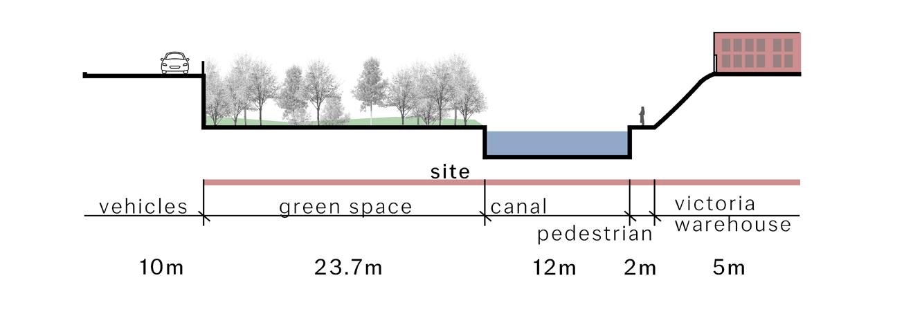
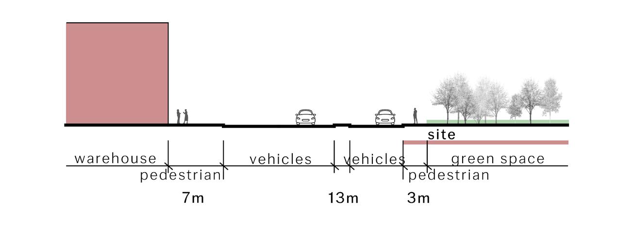
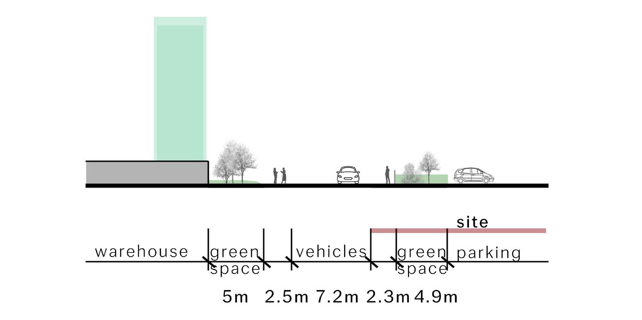
The strategic location of the site on the waterfront provides key views towards MediaCity UK and Salford Quays. There are also key views towards Old Trafford at the South side of the site; some of these views are also available from Bridgewater canal. Sections below show the relationship between the site and various surrounding buildings and roads as well as the topographical changes that occur.
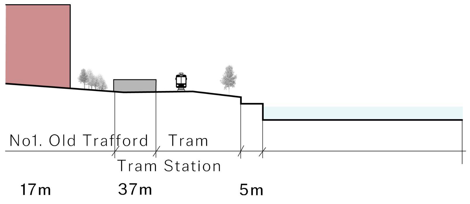
Trafford Wharfside
A - A B - B C-C D-D 37 Views
and Edges Map 500 0
Metres
Matchday
Extraordinary Events, Everday Places
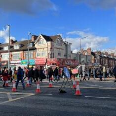
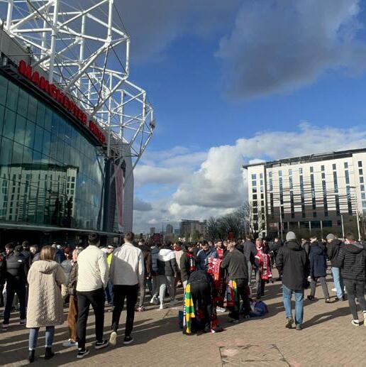
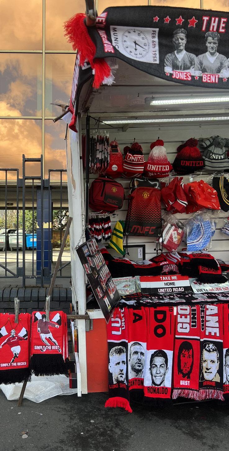
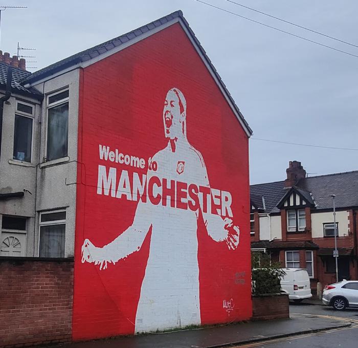
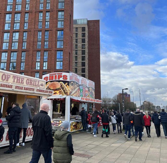
Old Trafford is one of two significant football venues located in Manchester, with a capacity of around 74,000 people. On matchdays the site and its surrounding area changes dramatically, with road closures, heavy traffic congestion, an increase in pedestrian movement and greater noise pollution. Quiet residential spaces such as Sir Matt Busby Way are completely altered and dominated by football fans walking to Old Trafford. Noise from the stadium can be heard up to 300m away.
Surface level car parks are usually full around the site and several routes extending from the Talbot Road junction to the stadium are lined with food and souvenir stalls. Some of the main hotel that are used by fans are also located along the main processional route between Old Trafford tram station and Wharfside.
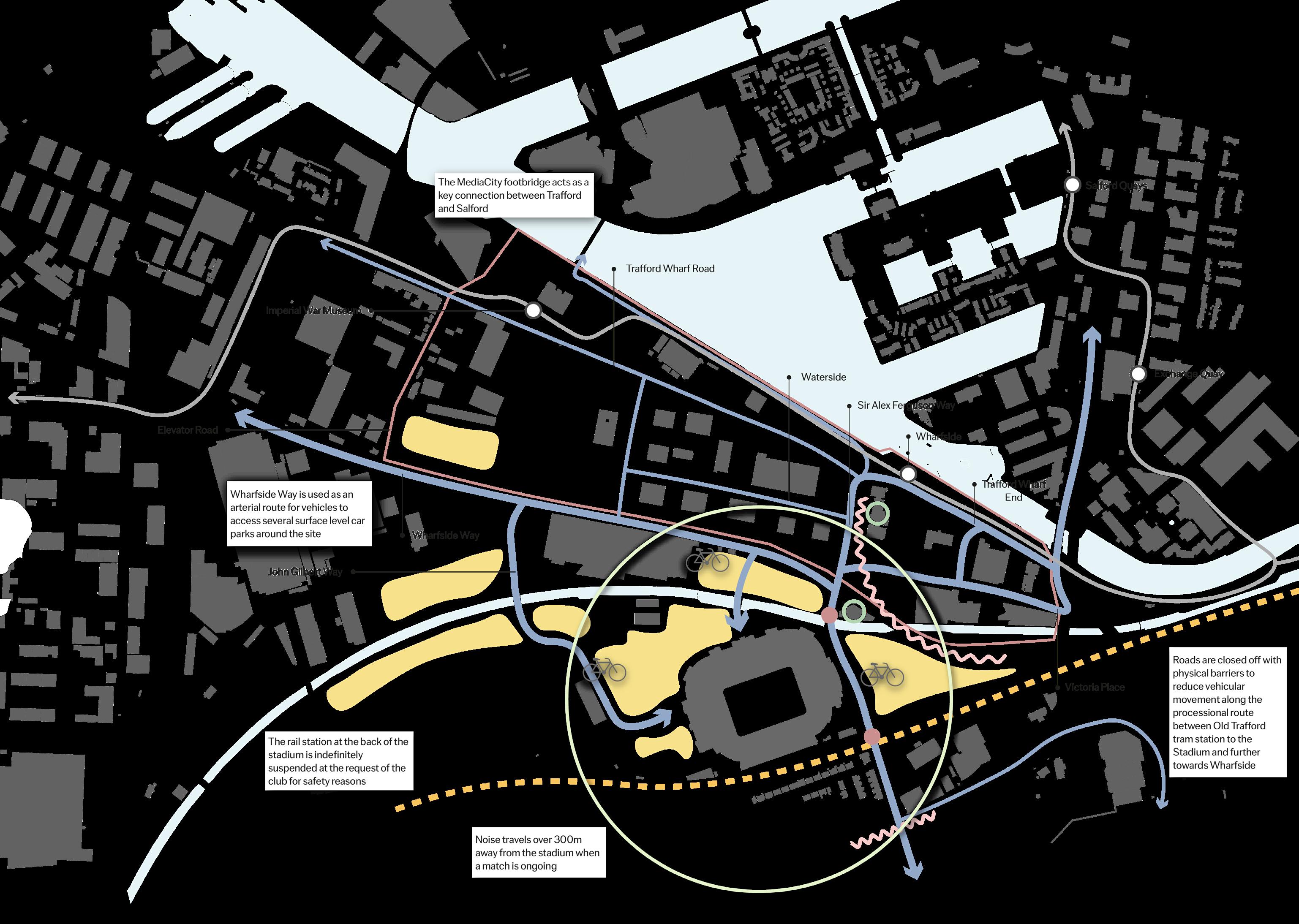
Site Old Trafford Rail Line Main Fan Movement Tram Line Security Checks Bike Park Car Parking Limited Fan Movement Barrier Main Hotels Tram Station
38 Matchday Analysis Map 500 0 Metres
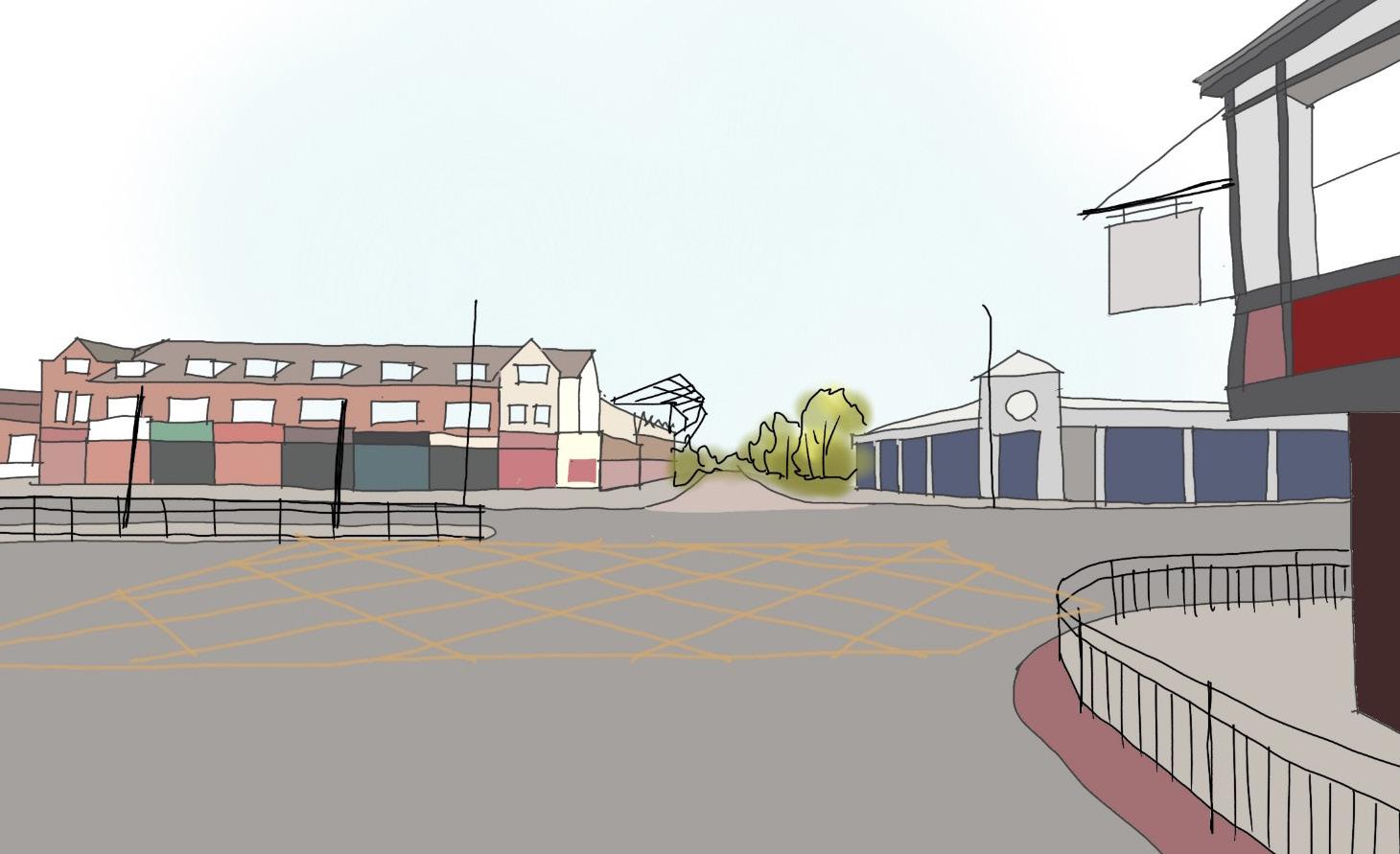
1.
Talbot Road acts as a key junction when fans are travelling from the Old Trafford tram station towards the stadium.
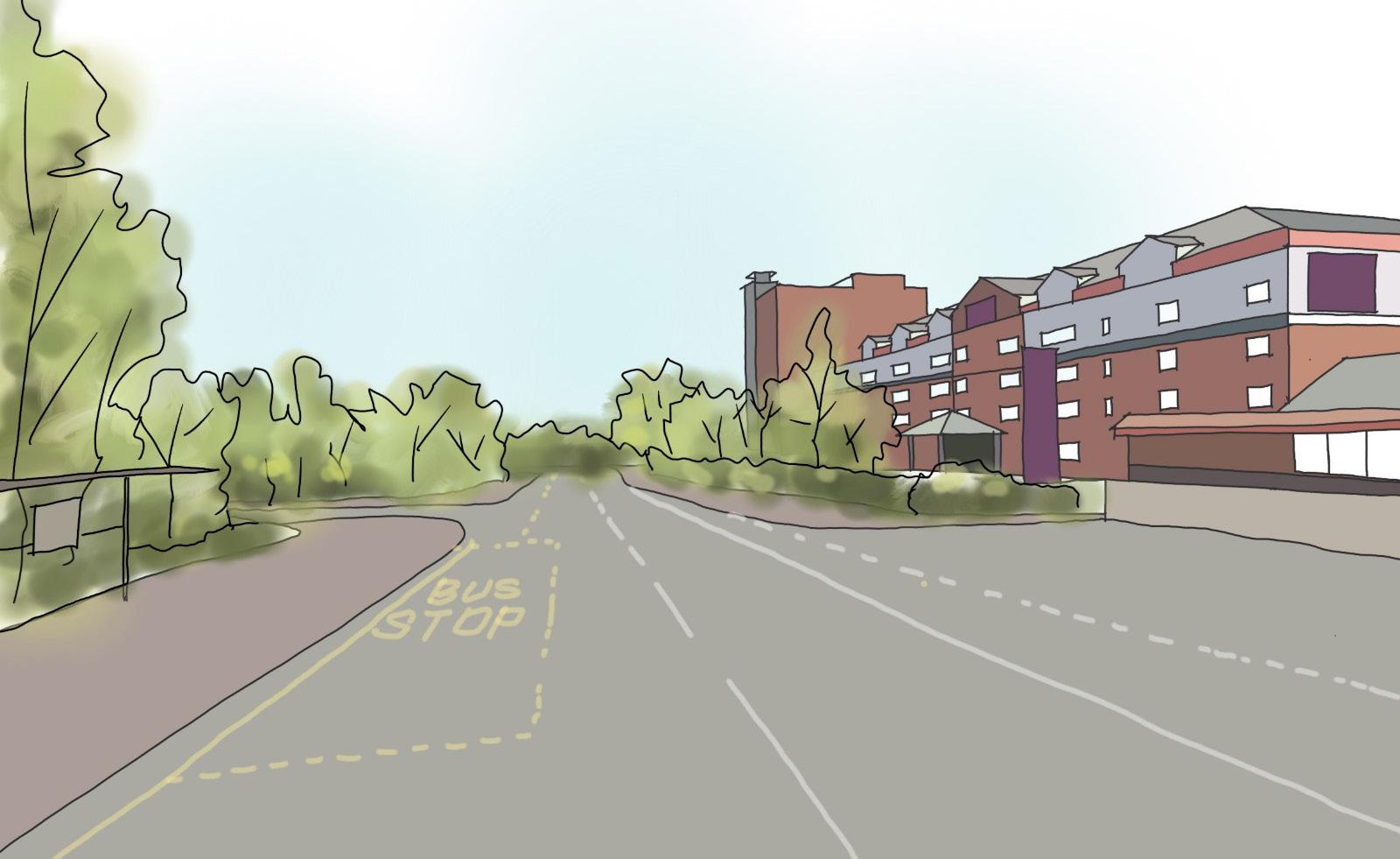
After passing the stadium, fans move towards the waterfront to access key public transport facilities and Salford Quays. 4.
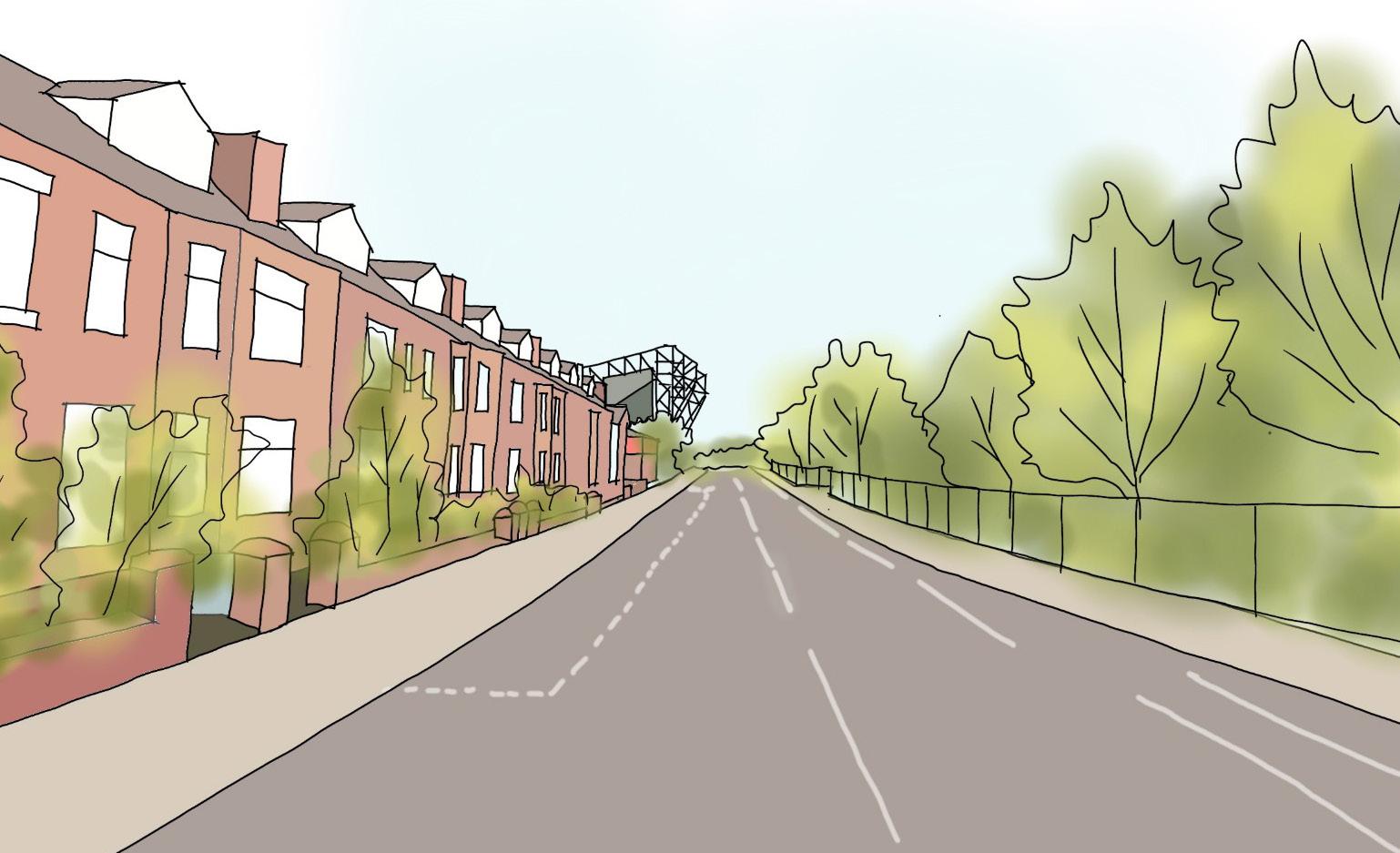
2.
Fans continue to walk along the processional route on Sir Matt Busby Way, lined by the terraced houses.
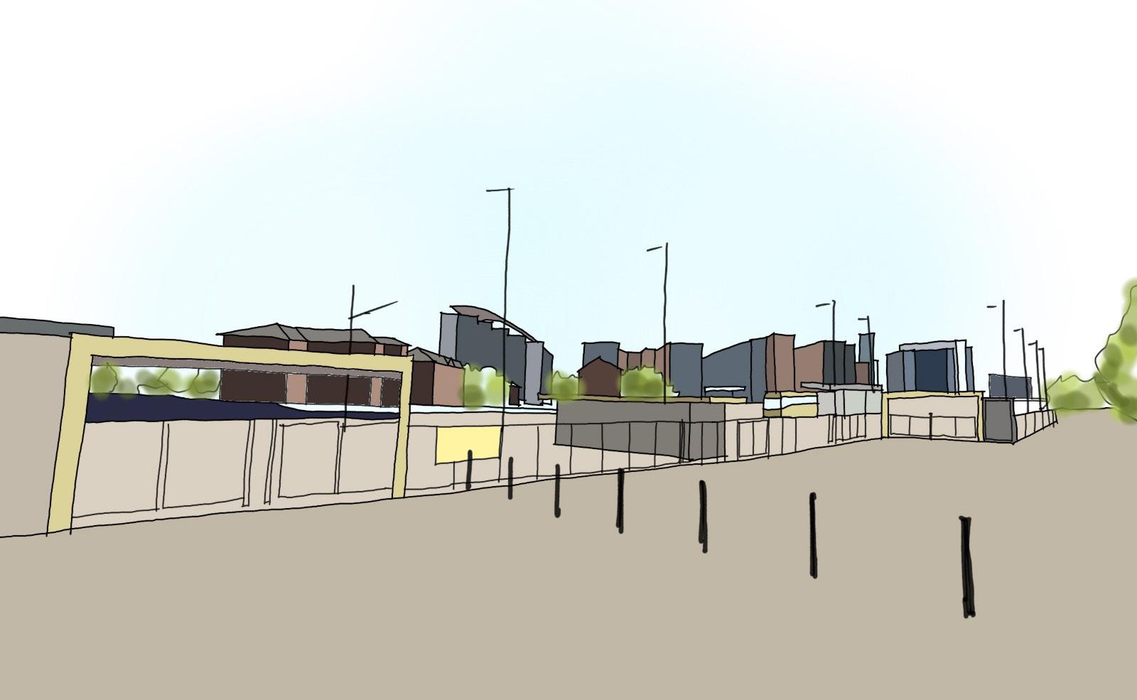
5.
Fans turn onto Trafford Wharf Road to access the proximal tram station which allows travel into and out of the city.
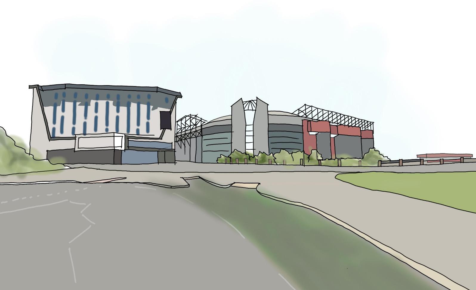
3.
Upon passing security points and the souvenir stalls, Old Trafford stadium and Hotel Football come into a clearer view.
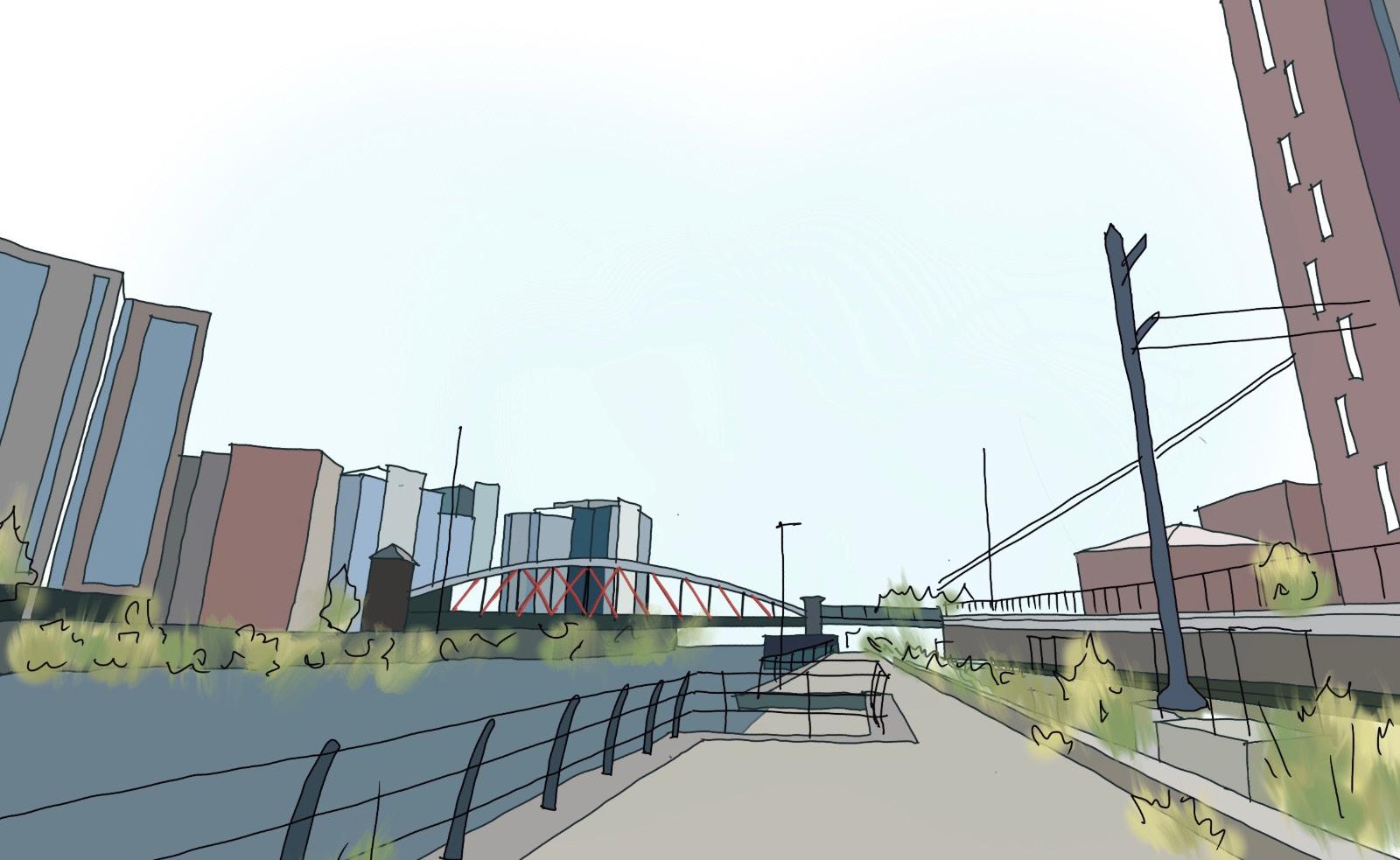
Fans may continue past the tram station and continue along Wharf End, towards Trafford Road Bridge. 6.
Trafford Wharfside bringing together work & play
39
05
Considerations
Design
Considerations
Trafford Wharfside bringing
work & play
together
Opportunities
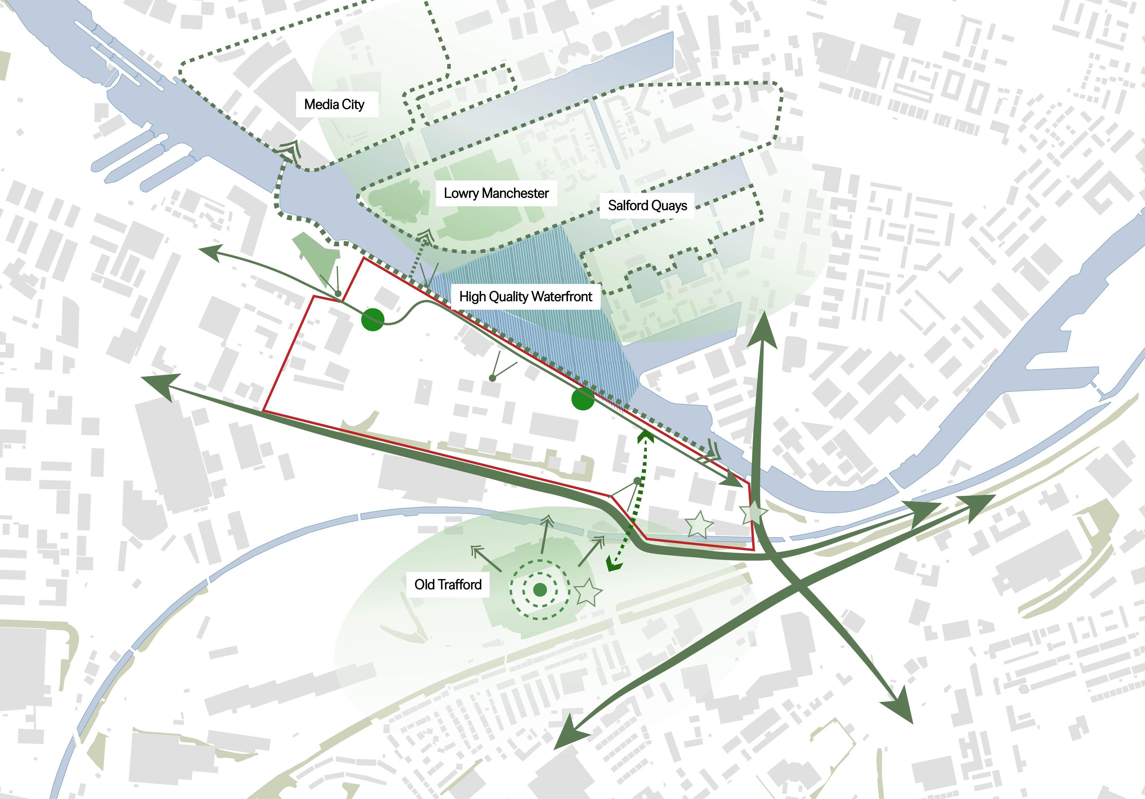
Key Takeaways:
• The site benefits from a number of opportunities, many of which are not contained within the site but instead are located on the site’s periphery. Integrating these assets into a future masterplan will help to unlock the full potential of the site.
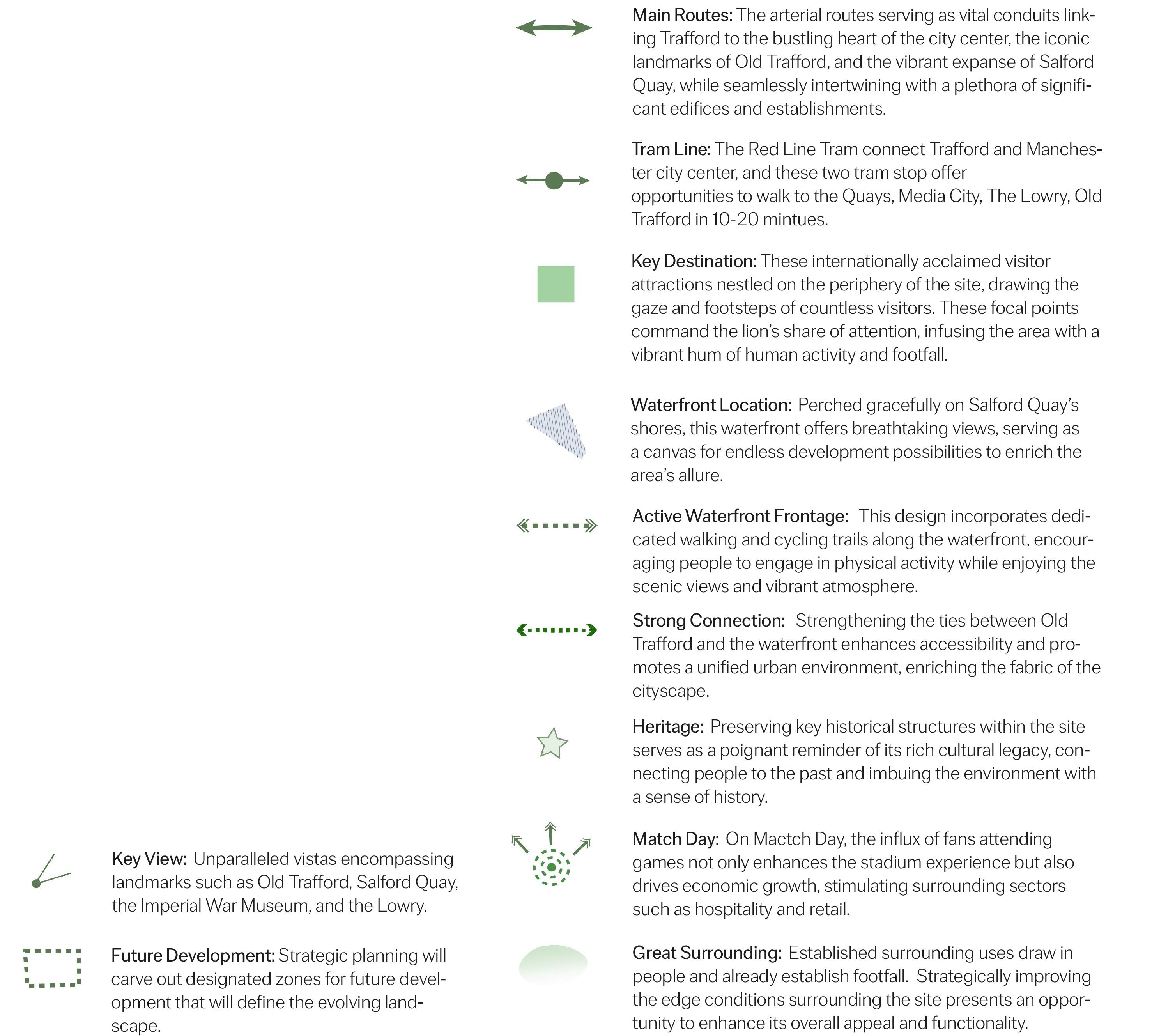
42 Opportunities
Map
0 500 Metres
Constraints
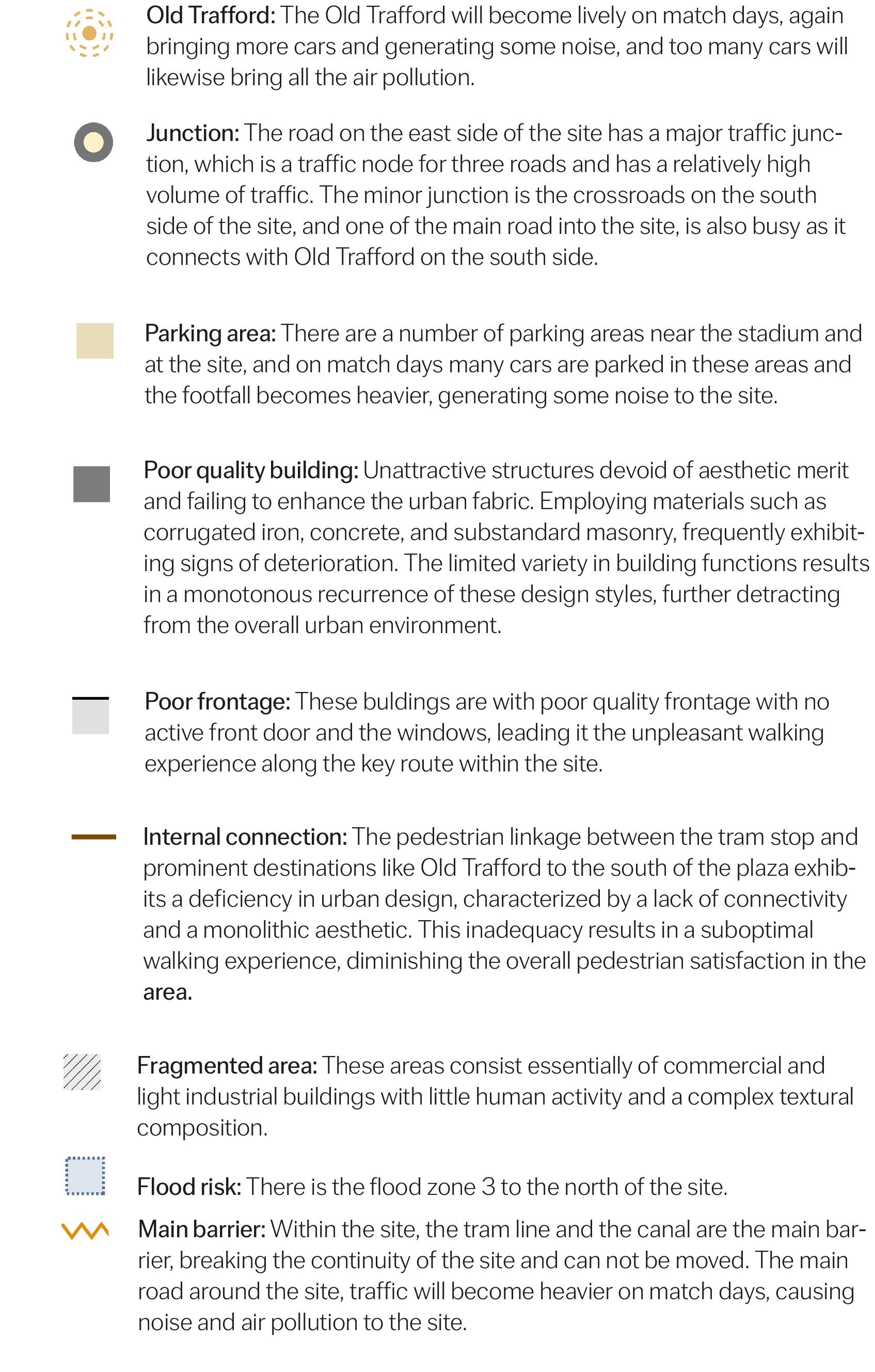
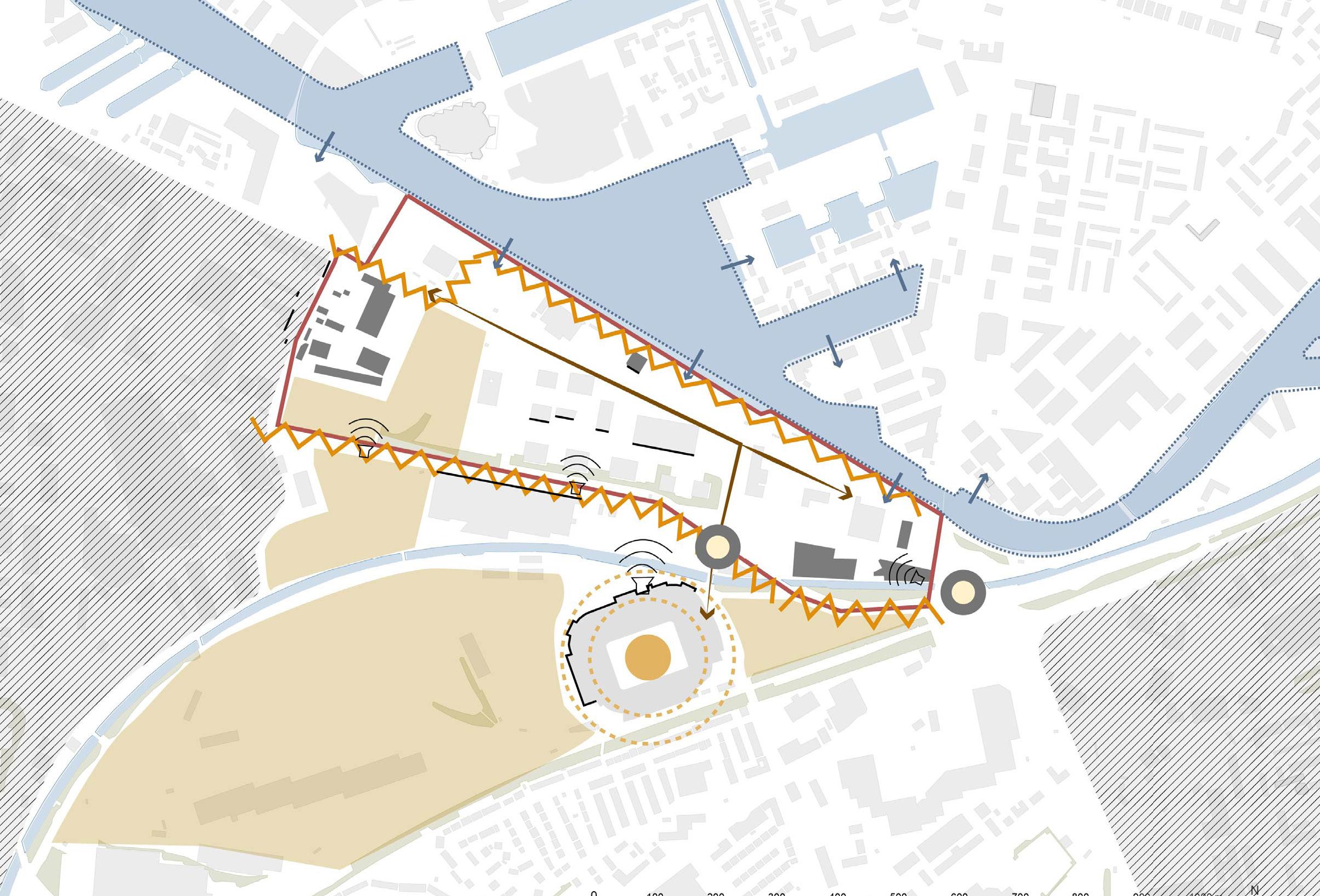
Key Takeaways:
On match days, Old Trafford’s liveliness brings with it a range of nuisances. The tram line and canal create barriers, disrupting pedestrain flows. Addressing these issues demands innovative solutions to ease traffic, preserve site integrity, and improve environmental quality, ensuring sustainable coexistence with the historic venue’s surroundings and the community.
Trafford Wharfside bringing
together work & play
43 Constraints Map 0 500 Metres
Hard and Soft Analysis
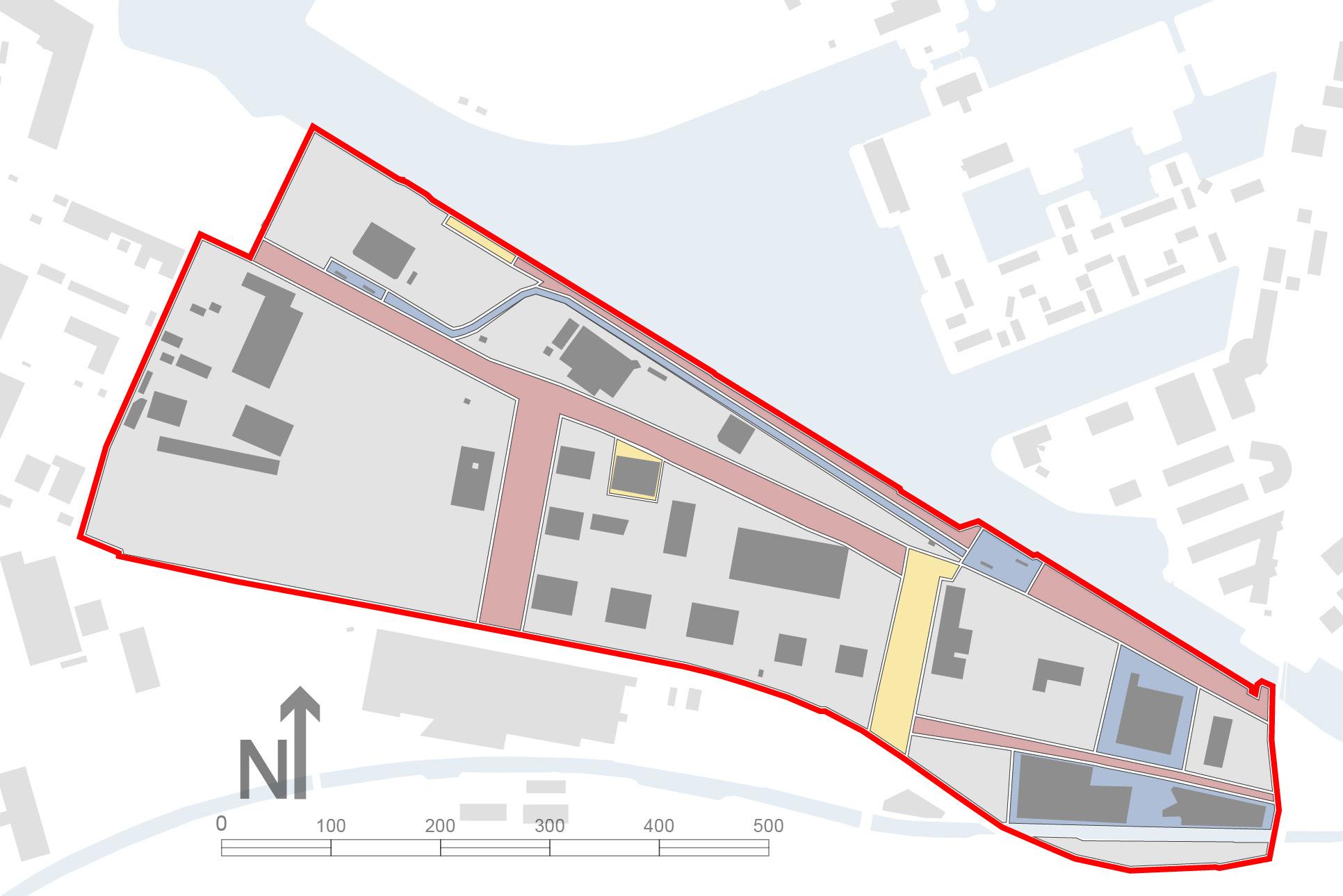
The analysis presented in this document has enabled informed judgments to be made for each element of the site in respect of the desirability and feasibility of its retention. The hard and soft plan shown opposite indicates that in the most part, the site features a range of buildings which are of poor architectural quality. In addition, the streets and spaces surrounding them are in need of significant uplift so that they are capable of providing genuine value to potential residents.
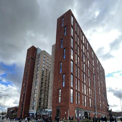
No. 1 Old Trafford is a high density, modern development of good quality that is fit for retention without change.
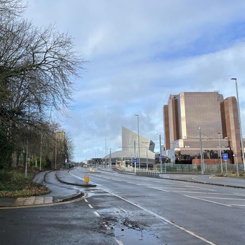
Roads within the site function well for their purpose but redesigning to prioritise pedestrian movement.
Key Takeaways:
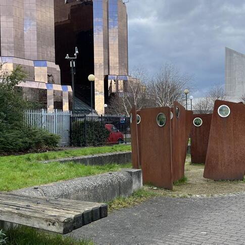
‘The Casuals’ sculpture celebrates an important part of the site’s history but has fallen into disrepair.
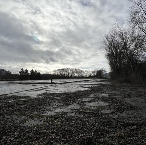
The majority of the site consists of surface car parks, vacant land and poor quality buildings to be removed.
• The majority of the site features buildings and curtilage which are of poor physical and visual quality and are likely to be removed, although the businesses which they accommodate are important.
• Some development within the site is sound in principle, but could benefit with significant redesign. Other elements such as Metrolink infrastructure and the Victoria Warehouses should be retained.
Spillover from Trafford Park has caused the western edge of the site to be encapsulated by low-quality buildings. Their replacement with better quality development is preferential.
The Casuals’ is a sculpture by Broadbent Studios that encapsulates the heritage of this waterfront within the public realm. However, the space has fallen into disrepair and requires renovation.
Currently, the waterfront is a pederstrian network with little value to wider links into the site. With better integration and improvement to the route, this can change
Metrolink stops are perfectly situated along the waterfront to accomodate first-class transit-oriented development.
The centre of the site possesses uninspiring architecture with no frontage onto key public routes and spaces. This has created a hostile character which requires change.

44
Trafford Wharfside
bringing together work & play
06
Vision
Trafford Wharfside bringing together work & play
Vision
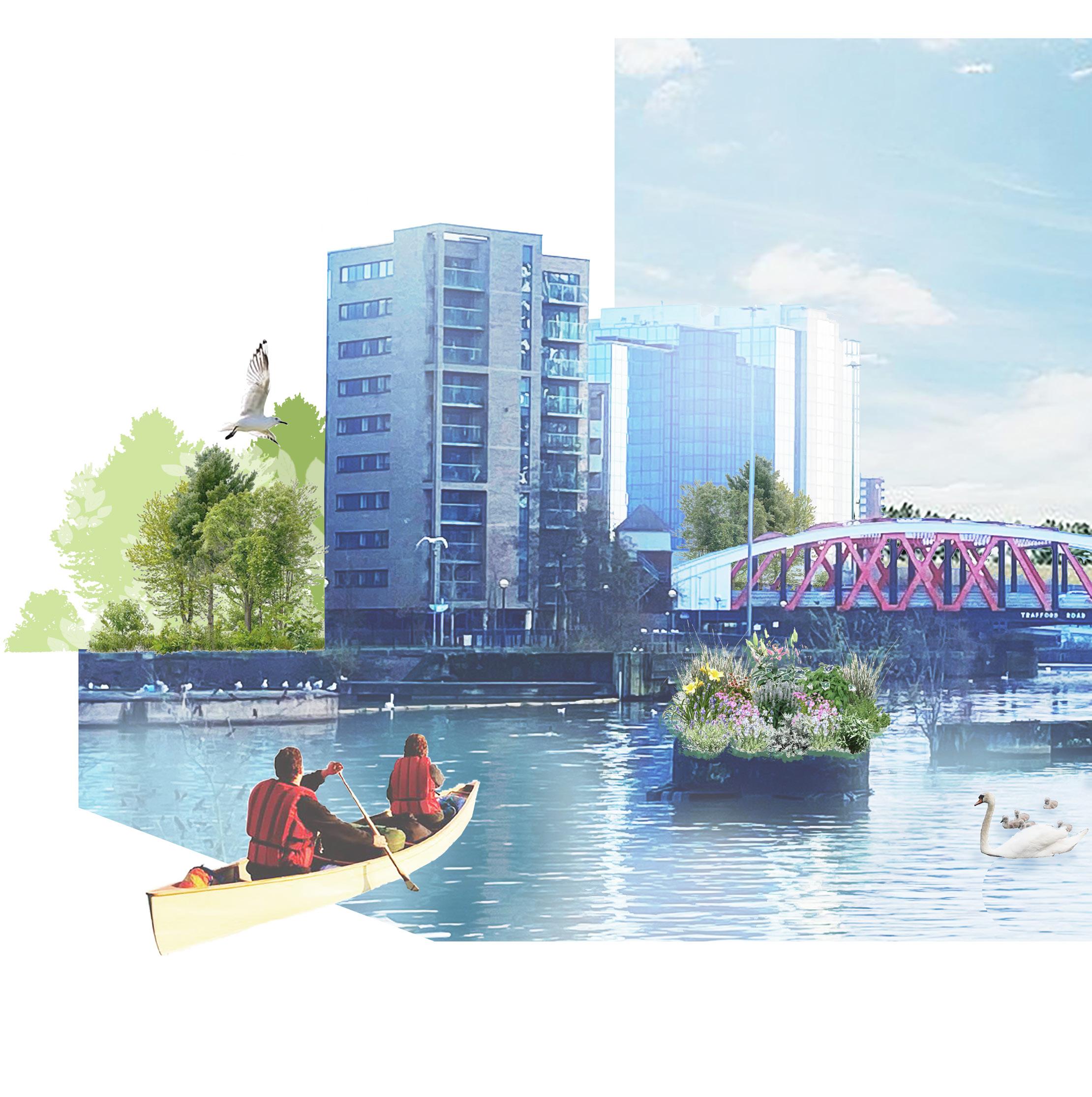
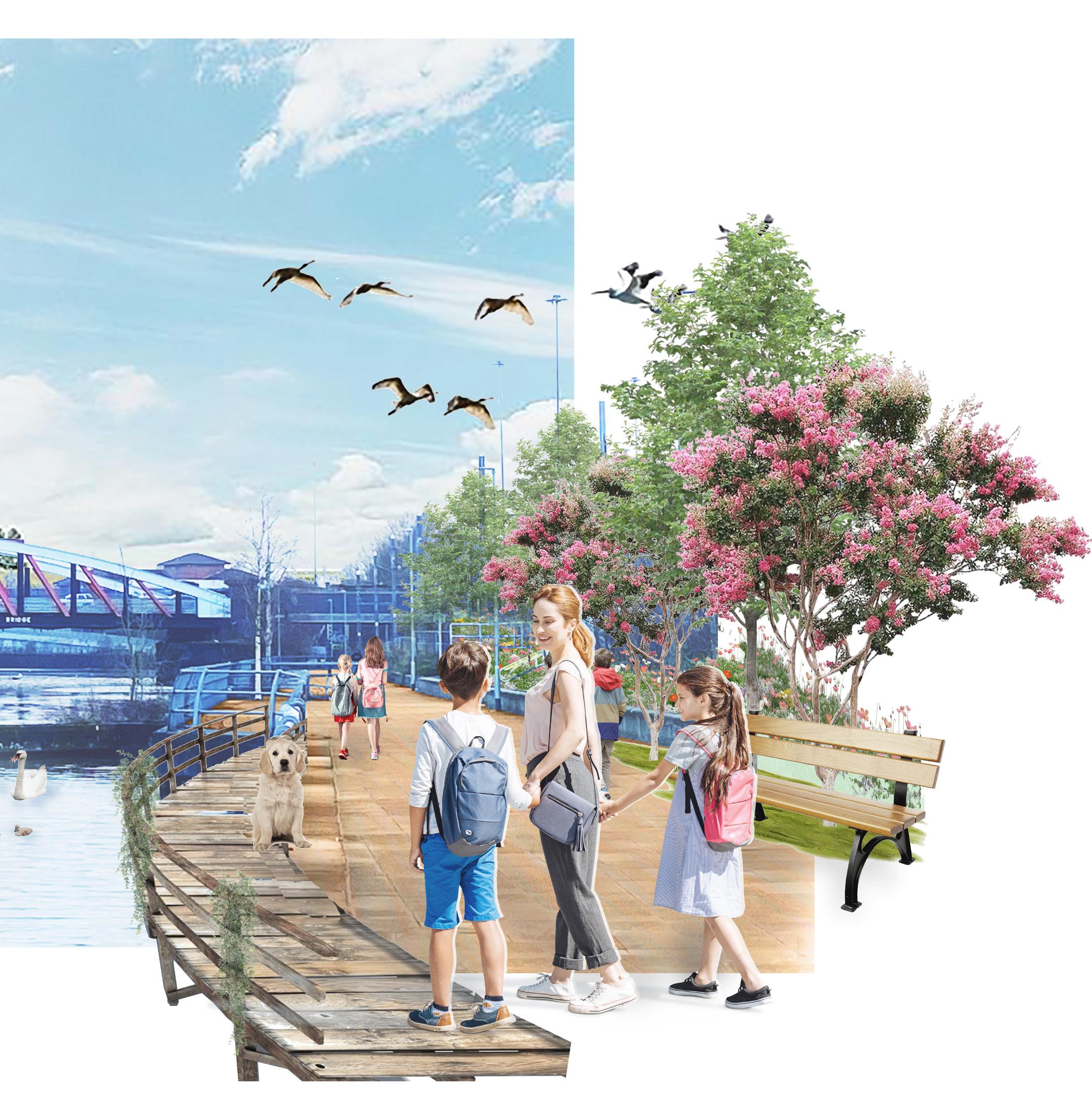
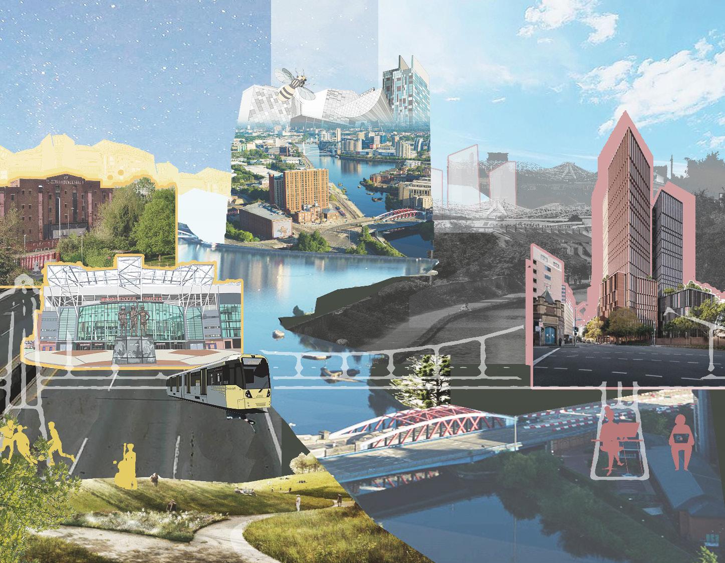
Trafford Wharfside will bridge the gap between work and play
to deliver a new, mixed-use district to Trafford’s waterfront. By embracing the world leading creative enterprise and key visitor attractions on its doorstep, the development will attract new investment and residents to what will become one of the most successfulandexcitingcreativeneighbourhoodsinEurope.
The Masterplan will establish anewbeatinghearttoserveTraffordandSalford’secologicalnetwork whilst boldy pursuing the delivery of inclusive streets, spaces and public realm which provide fun, enjoyment and respite for all.
48
Trafford Wharfside bringing together work & play 49
07
Objectives and Actions
Trafford Wharfside
work
play
bringing together
&
Objectives
Prioritise Human Scale Experiences Making a Destination a Home
Reflecting on the Past
Unearthing and Revitalising
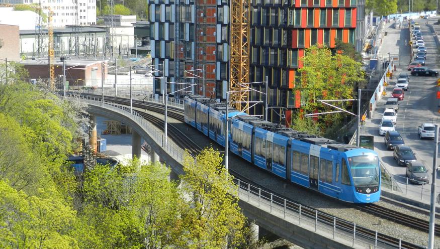
World Leading Sustainability Trafford Wharfside will deliver a masterplan that is led by greener and cleaner living; taking advantage of existing sustainable transport routes
Capitalising on the Waterfront
Valuing the Fans
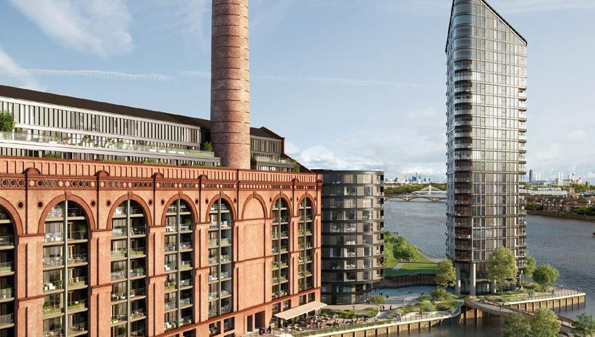
A Perfect Transition Trafford Wharfside will transition effectively between land uses and character areas, from heavy industry through to key visitor attractions
52
World Leading Sustainability A Perfect Transition
Innovating
Inclusive
for the Future
Places and Spaces
Best Practice: Hammarby , Stockholm
Best Practice: Lots Road Power Station, London
Zquid (2019) Soloman (2023)
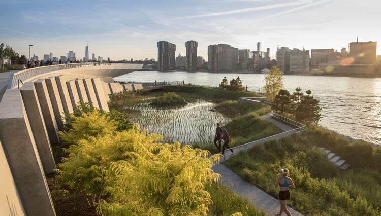
Revitalising and Unearthing
The masterplan will reintroduce new spaces of Green Infrastructure and create a soft landscape edge to frame the waterfront
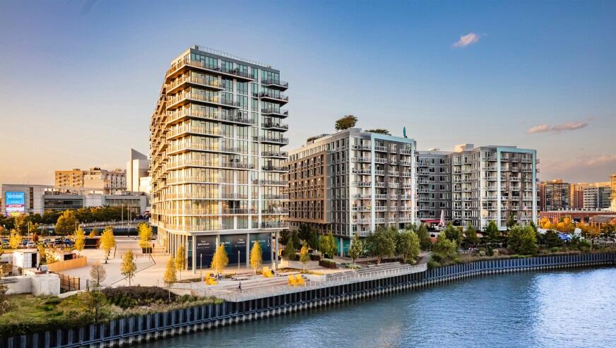
Capitalising on the Waterfront
This landmark development will create a new frontage and visual gateway on the Trafford and Salford waterfront.
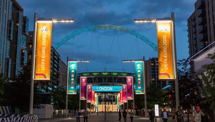
Valuing the Fans
The matchday atmosphere will be embraced by optimising elements of the public realm to provide a rich experience for fans whilst reducing the negative impacts associated with events
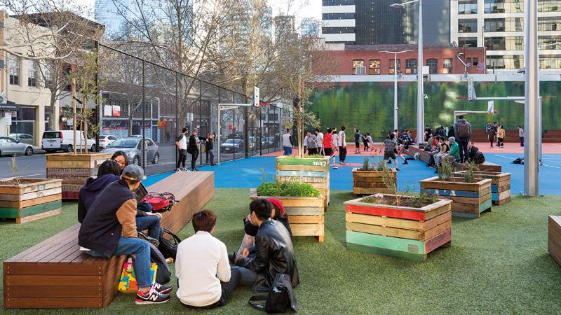
Inclusive Places and Spaces
The masterplan will contain a range of public spaces and facilities accessible for all in order to establish a truly inclusive community
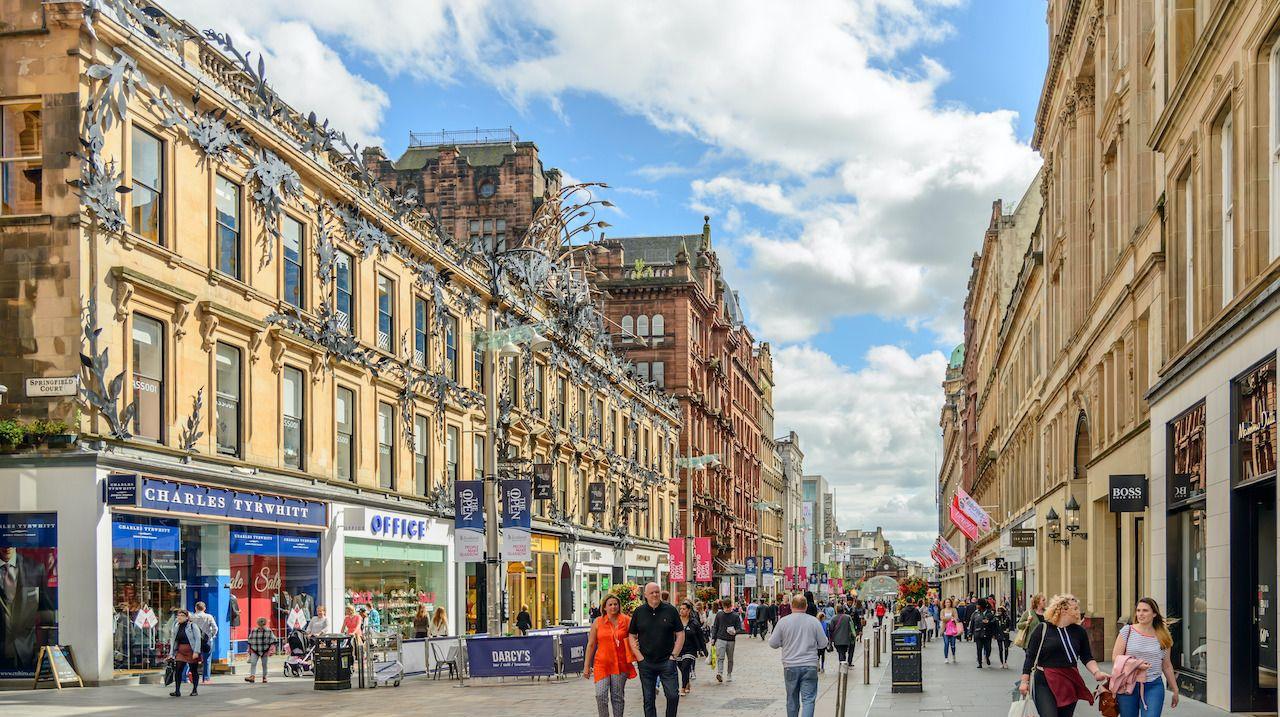
Prioritise Human Scale Experiences
The masterplan will create a permeable and legible district to the Trafford Waterfront that is considerate of safety,
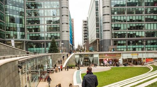
Making a Destination a Home
Introduce a range of mixed land uses which will sustain a community and overcome the transient nature of the area.
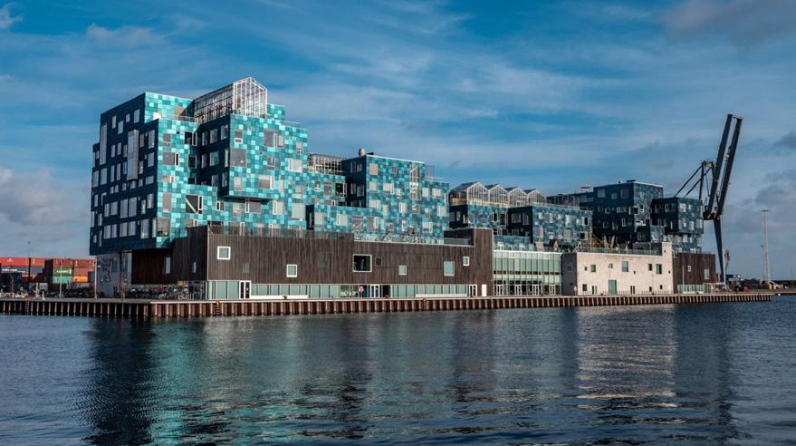
Reflecting on the Past
The masterplan will embrace the industrial heritage of both the waterfront and wider industrial park
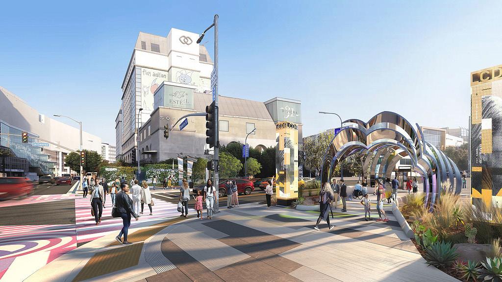
Innovating for the Future
Expanding Salford’s innovation triangle by providing high-quality workspace for innovative commercial enterprise
Wharfside
53
Trafford
bringing together work & play
Best Practice: Hunters Point, New York
Best Practice: Buchanan Street, Glasgow
Best Practice: Maren , Washington
Best Practice: Paddington Central, London
Best Practice: Olympic Way, Wembley
Best Practice: Port Phillip, Australia
Best Practice: Nordhavn Community Centre, Copenhagen
Vercerka (2023) MFE (2022) V.P.P.R (no date)
Best Practice: La Cienega, Los Angeles
Diskin (2020) Bellharbour (2020) Dezeen (2022)
Gollings (2019)
Leeuwen (2022)
Actions
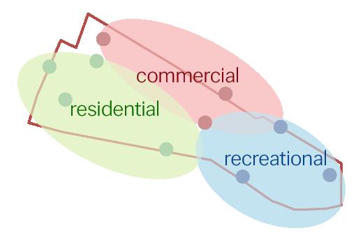
Strategically diversify land uses in the area; blending residential, commercial, and recreational zones, complemented by essential amenities and infrastructure
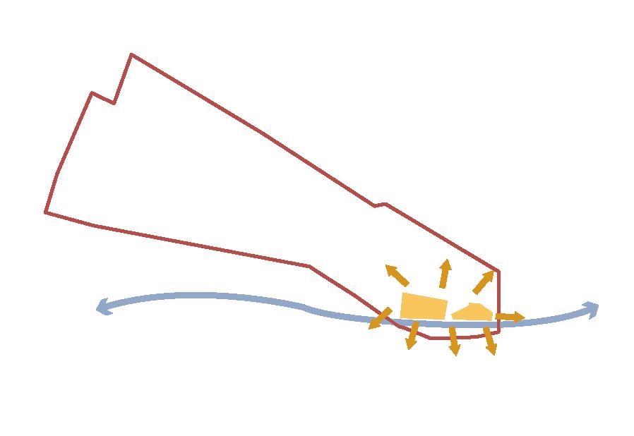
Regenerate the warehouses seamlessly into the comprehensive masterplan, leveraging their unique spatial attributes and historical character.
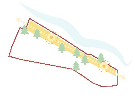
Revitalize the site’s waterfront by enhancing public realm and green infrastructure, elevating the overall urban design and human experience.
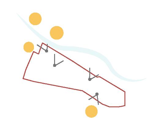
Preserve and enhance key views into, out of and through the site, whilst establishing new sightlines through to the waterfront and surrounding landmarks.
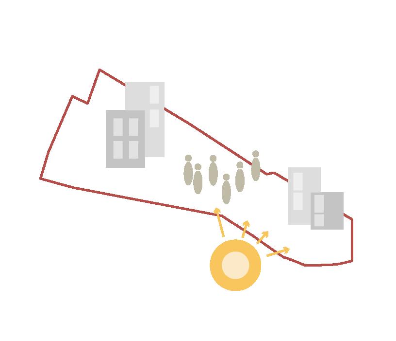
Contribute to the wider amenity provision needed for matchdays by providing appropriate facilities that are highly demanded such as hotels and other retail.
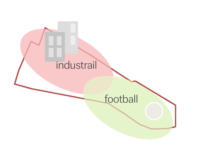
Create several character areas which reflect, enrich and further develop the industrial and sporting culture of the area.
54
A F B G C H
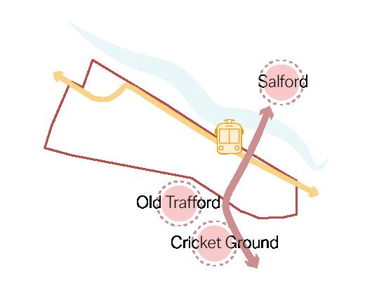
and Cricket Ground through the site to Wharfside Tram Station and Salford
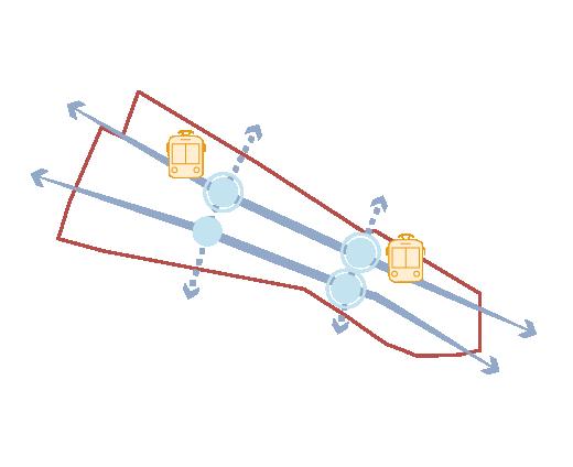
a nuanced network of streets and spaces that consider the key sustainable transport hubs already in the area.
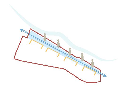
Enhance the waterfront’s human experience through strategic urban design interventions; fostering active frontages to promote engagement and safety
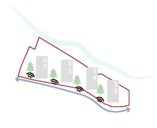
Focus development of structures and GI along the arterial route of the site to mitigate the effects of noise and pollution on pedestrians
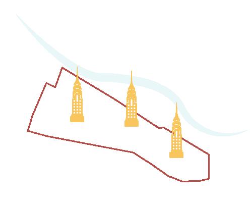
Landmark or statement architecture will be developed in a small number of strategically important locations to frame the waterfront and improve legibility
Trafford Wharfside bringing together work & play 55
D I E J K
08
Bibliography
Trafford Wharfside bringing together work & play
Bibliography
Text Reference List
1. Gov.UK. (2019). National Design Guide. [Online]. Available at: https://assets.publishing.service.gov.uk/media/602cef1d8fa8f5038595091b/National_design_guide.pdf (Accessed 26 February 2024).
2. Herron, A. (2015). Manchester’s Trafford Park, the world’s first industrial estate – a history of cities in 50 buildings, day 26. [Online]. The Guardian. Available at: https://www.theguardian.com/cities/2015/apr/29/manchester-trafford-park-world-first-industrial-estate-history-cities-50-buildings (Accessed 26 February 2024).
3. Manchesterhistory.net. (n.d.). The Trafford Road Swing Bridge. [Online]. Available at: https://manchesterhistory.net/manchester/outside/traffordbridge.html (Accessed 25 February 2024).
4. Media City UK. (n.d.). Mediacity History. [Online]. Available at: https://www.mediacityuk.co.uk/about-us/history/ (Accessed 26 February 2024).
5. Woden. (2019). Salford History: Trafford Road Swing Bridge : an encomium. [Online]. Salford History. Available at: https://salfordhistory.blogspot.com/2019/01/trafford-road-swing-bridge-encomium.html (Accessed 25 Feb. 2024).
Image Reference List
1. Bellharbour. (2020). Mixed Use Developments – London Paddington Central. [Online]. Available at: https://www.bellharbour.co.uk/about-us/news-insights/2020/mixed-use-developments/ (Accessed 26 February 2024).
2. Byrne, P. (2023). Old Trafford Stadium. [Online]. Available at: https://www.telegraph.co.uk/football/2023/12/26/manchester-united-knock-down-old-trafford-new-stadium-plan/ (Accessed 26 February 2024).
3. Dezeen. (2022). Copenhagen Industrial Community Centre. [Online]. Available at: https://www.dezeen.com/2022/12/06/copenhagen-harbour-development-denmark/ (Accessed 26 February 2024).
4. Diskin, E. (2020). Cool Pedestrian Streets – Buchanan Street. [Online]. Available at: https://matadornetwork.com/read/coolest-pedestrian-streets-around-world/ (Accessed 26 February 2024).
5. Gollings, J. (2019). Creating Places and Communities in Port Phillip. [Online]. Available at: https://haveyoursay.portphillip.vic.gov.au/public-space-strategy/creating-places-and-communities (Accessed 26 February 2024).
6. Google Maps. (2024). Google Maps. [Online]. Available at: https://www.google.com/maps?authuser=0 (Accessed 26 February 2024).
7. Graham, H. (2014). Evening view of Lowry. [Online]. Available at: https://www.dreamstime.com/editorial-image-lowry-centre-salford-quays-manchester-uk-june-night-view-gallery-image51395690 (Accessed 26 February 2024).
8. Historic England. (2024). Heritage Listings. [Online] Available at: https://historicengland.org.uk/listing/the-list/map-search/ (Accessed 26 February 2024).
9. Hoare, C. (2020). World War 2: Chilling unearthed photos show Old Trafford in Blitz. [Online] Express.co.uk. Available at: https://www.express.co.uk/news/uk/1245090/world-war-2-old-trafford-man-united-christmas-blitz-nazi-germany-adolf-hitler-spt. (Accessed 26 February 2024).
10. John, M. (2014). Dock Office Gates. [Online]. Available at: https://www.geograph.org.uk/photo/3823611 (Accessed 24 Feb. 2024).
11. Leeuwen, D. V. (2022). Innovation Districts – La Cienega. [Online]. Available at: https://www.gensler.com/blog/innovation-districts-affinity-districts-and-the-future-city (Accessed 26 February 2024).
12. MediaCity. (N.D). Summertime view of Media City UK. [Online]. Available at: https://www.mediacityuk.co.uk/visit-us/ (Accessed 26 February 2024).
13. MFE. (2022). Maren High Rise Awards. [Online]. Available at: https://www.multifamilyexecutive.com/design-development/mfe-awards/waterfront-setting-inspires-washington-d-c-high-rise_o (Accessed 24 February 2024).
14. No1. Old Trafford. (2022). Aerial Vision Render. [Online]. Available at: https://www.no1oldtrafford.co.uk/ (Accessed 26 February 2024).
15. Peel L&P. (2022). Pomona Island Regeneration. [Online]. Available at: https://www.placenorthwest.co.uk/pomona-island-regen-held-up-by-planning-stand-off/ (Accessed 26 February 2024).
16. Premier Inn. (2024). Premier Inn Manchester. [Online]. Available at: https://www.premierinn.com/gb/en/hotels/england/greater-manchester/manchester/manchester-old-trafford.html (Accessed 26 February 2024).
17. Ridge and Partners. (2019). Cricket Ground. [Online]. Available at: https://ridge.co.uk/projects/old-trafford-cricket-ground/ (Accessed 26 February 2024).
18. Salford Council. (2023). Regeneration Framework. Available at: https://sccdemocracy.salford.gov.uk/documents/s66310/230831_Media%20City%20Phase%202%20SRF%20Final%20Draft_ISSUE_Rev5_pages%20lowres.pdf (Accessed 26 February 2024).
19. Skyscraper City. (2021). Salford Quays. [Online]. Available at: https://www.skyscrapercity.com/threads/salford-quays.261595/page-101 (Accessed 26 February 2024).
20.Soloman, A. (2023). Lots Road Power Station. [Online]. Available at: https://luxurylondon.co.uk/property/sales-launch-at-powerhouse-development-lots-road-power-station-luxury-residences-property-apartments/ (Accessed 26 February 2024).
21. The Independent. (2013). Evening view of Old Trafford. [Online]. Available at: https://www.independent.co.uk/sport/football/premier-league/manchester-united-pull-old-trafford-from-running-to-be-world-cup-venue-8557916.html (Accessed 26 February 2024).
22. Trafford Council. (2022). Lancashire County Cricket Club Quarter Development Framework. [Online]. Available at: https://www.trafford.gov.uk/planning/development-control/Inquiries/Former-BQ/CDH-local-policy-guidance-adopted-development-plan-supplementary-planning/23. H10-LCC-Development-Framework.pdf (Accessed 26 February 2024).
23. V.P.P.R. (N.D). Wembley Olympic Way and Steps. [Online]. Available at: https://vppr.co.uk/wembley-olympic-way/ (Accessed 26 February 2024).
24. Vercerka, A. (2023). Hunters Point Public Park. Available at: https://www.archdaily.com/996676/a-waterfront-park-as-public-amenity-and-climate-mitigator (Accessed 24 February 2024).
25. VisitManchester. (N.D). Victoria Warehouse, Accessed 20/02/2024, Available at: https://www.visitmanchester.com/listing/victoria-warehouse/31133101/
26. VisitNorthWest. (N.D). Lowry Outlets, Accessed 20/02/2024, Available at: https://www.visitnorthwest.com/malls/lowry-outlet-mall/
27. Yandex. (2020). The Gym Group. [Online]. Available at: https://findit.chad.co.uk/company/1490442259931136 (Accessed 26 February 2024).
28. Zquid. (2019). Hammarby Sjostad Public Transport. [Online]. Available at: https://commons.wikimedia.org/wiki/File:Tv%C3%A4rbanan_Sthlm_01_Hammarby_Sj%C3%B6stad_2019_DSCN6104.jpg (Accessed 24 February 2024).
58
Trafford
Trafford Wharfside bringing together work & play
Wharfside bringing together work & play


