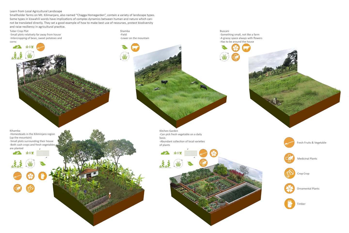
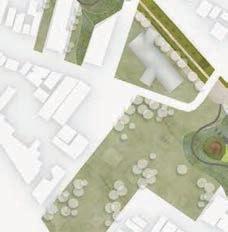
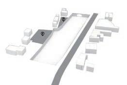
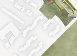
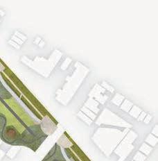
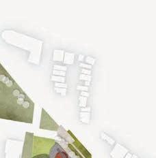
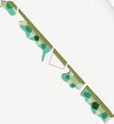
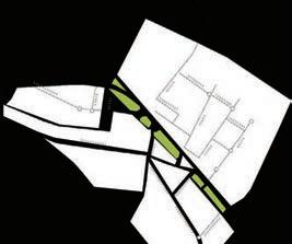
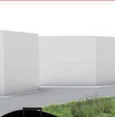
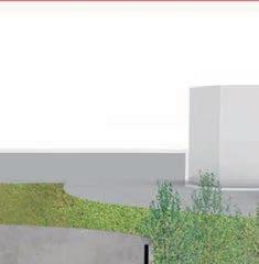
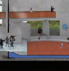
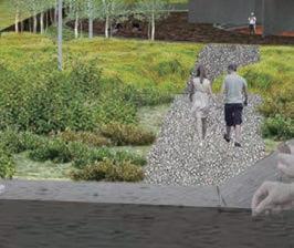
Site Plan of the Bergen Arches


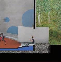
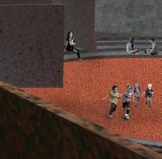
Playground SkateparkSandFilters
Upgraded Parkings
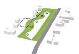
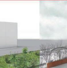
Planting Zones
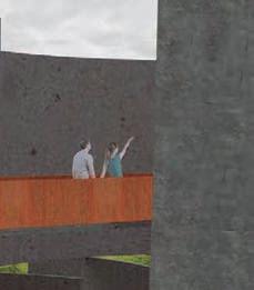
Main Focus-The Arches


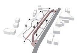
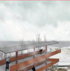
Circulation&Entries
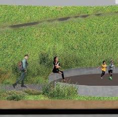
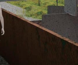
All-weatherPathway Buffer EntryPlaza

Water Storage

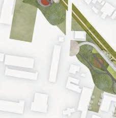
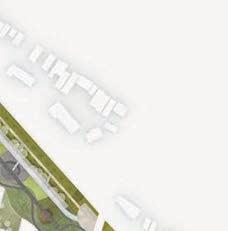
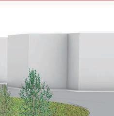
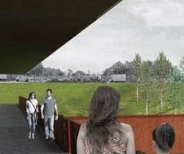
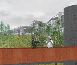
Site Plan of the Bergen Arches
Upgraded Parkings
Planting Zones
Main Focus-The Arches
Circulation&Entries
Water Storage
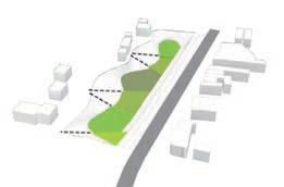
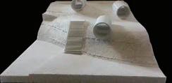
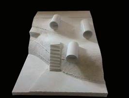
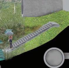
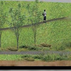
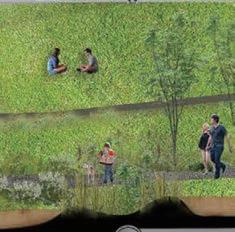
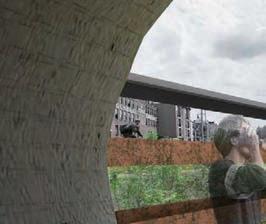
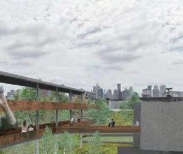
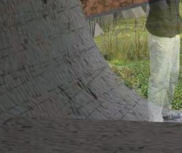
About 50’ below its urban context, this sunken landscape is ignored by even people living next to it. To create more connections to surrounding communities and give people easy access to the Arches, I soften the southern edge of with cut and fill and created several ridges and valleys. The ridges will connect to the previous underutilized parking lots and form entries for communities. The valleys will function as bio-swales and treat runoff from those communities.
Grey & Green Infrastructure System
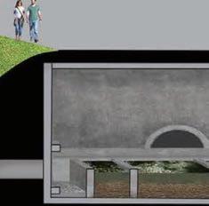
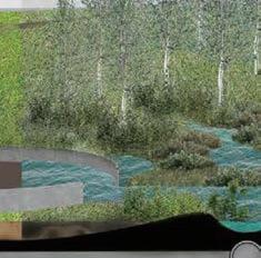
In this proposal, grey and green infrastructures work together to manage storm water. Underground, the old railway tunnels will be connected to the re-oriented storm drain system and become cisterns for runoff. Inside the cisterns, the gross firstflush will get a centralized treatment before getting into the irrigation system. Above ground, the landscape are terraced and planted with different species so as to absorb different pollutants from the water.
Concept Formation
Step 1: Locate underutilized parking lots


Step 2: Cut and fill to creat ridges and valleys
Step 3: Terrace the ground and plant according to soil humidity
Step 4: Lay out pathways and entries
Infrastructure Systems

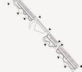
Longitudinal Section of the Bergen Arches
Grey & Green Infrastructure Layout
After Normal Rain Event
After Intense Rainstorm
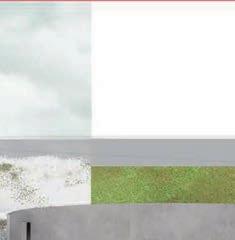
Planting Strategy
Shrub Buffer: Capture dust and other larger particles
Grass Mat: Infiltrate smaller particles
Deep Root Grove: Stablize pollutants

Rainfall Intensity in 100yr Rain Event= 3.0 inches/hour

Proposed Drainage Area= 870,000 ft sq


Peak Water Volume= 21,500,000 gal


Termite Control Strategies
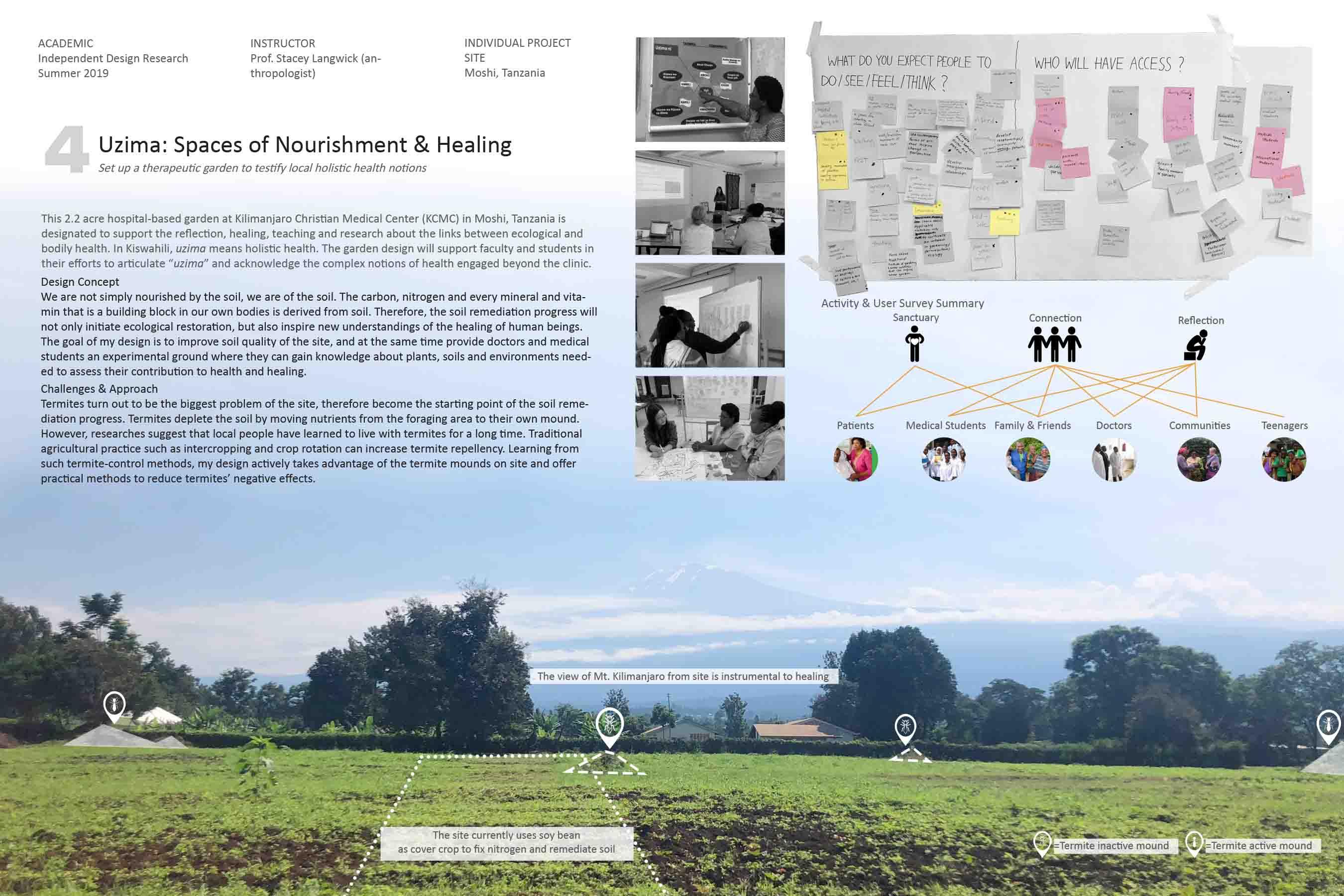
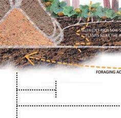
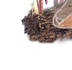
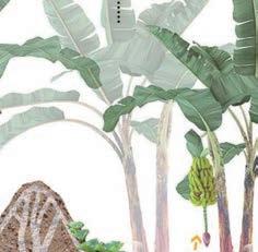
According to the studies on termite habit, the main foraging zone of termites is 10m-40m from the mound, where the soil suffers from nutrient depletion. However, the soil in the inner circle (within 10 meters from the mound) is free of foraging and stays nutrition-rich. The difference in soil condition results in completely different vegetation types. Therefore, my strategy is to create termite-repellent landscape in the outer circle, meanwhile set up symbiotic relationship between termite and plants in the inner circle.
How to live along with termites?
Mound with closed ventilation system
Inner Zone with shallow passages underlain by deep radial passages

Main Foraging Zone with network of radial and cross passages
Peripheral Zone with small passages after ending blindly
How to deal with the mounds?
Remove the mounds + Spread mound soil to enrich surrounding area
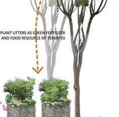
Offer adequate alternative food sources
Compost Plant Litters
Keep the mounds
+ Set up symbiotic relationships


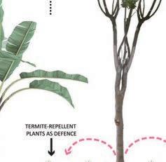
Raize the termite resistance of the landscape
Manure
Use termite-repellent plants


Intercrop repellent and susceptible species
Rotate between repellent and sesceptible species
Build physical barrier with sand/concrete/ raised planters