LUCAS CARR URBAN PLANNING Fall 2023 LUCAS CARR URBAN PLANNING Fall 2023

7103 Quail Lakes Dr. Holland, OH 43528
carrlj@mail.uc.edu
419-508-9826
Bachelor of Urban Planning
University of Cincinnati 2025
Saint Johns Jesuit 2019
Deans list
Fall 2020
Spring 2021
Summer 2022
Spring 2023
HCC Invitational Scholarship Fund
Fall 2020
Fall 2021
Fall 2022
Fall 2023
Software:
• Adobe Creative Cloud
Photoshop Illustrator Lightroom InDesign
• ArcGIS
• SketchUp
• AutoCAD
• SPSS
• Blender
• Rhino
Urban Planning:
• Public speaking
• Working in teams
• Conducting site analysis
• Creating narratives, story boarding, memos and reports
• Creating goals and objectives
• Supported both Planning and Landscape Architecture teams, showcasing versatility in urban planning and design projects.
• Managed correction of Franklin, Tennessee’s flood plains, employing advanced analysis, engineering, and community engagement to reduce flood risks, ensuring compliance and enhancing public safety.
• Analyzed Portland, Indiana’s Downtown district with ArcGIS Field maps, assessing residential properties, conditions, and the environment. Provided key insights for urban development strategies.
• Contributed to Boone County, IN community meetings, shaping land use policies and use matrix for sustainable development.
• Led a project crafting a demographic data analysis document for Greenfield, IN, informing strategic decision-making and community planning.
Kimley-Horn
• Operated under the Aviation Master Planning Department at Kimley-Horn.
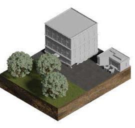
• Spearheaded the creation of a new aviation master plan for Hayward Executive Airport clients.
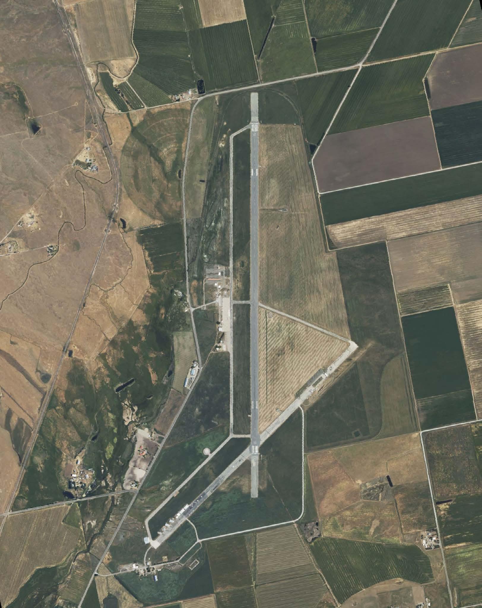
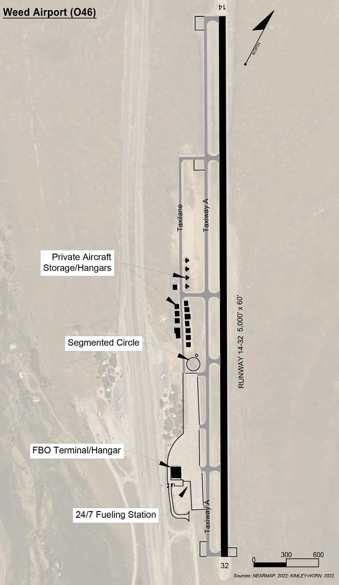
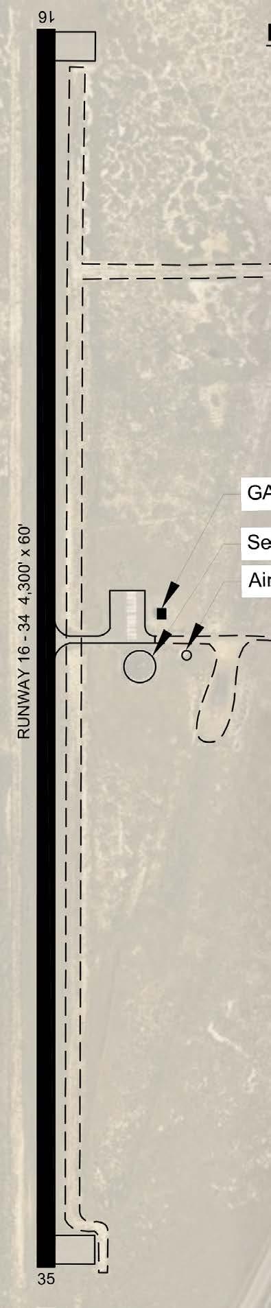
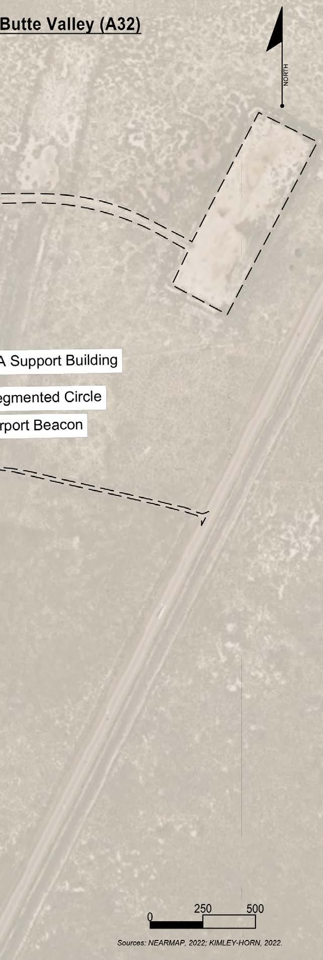
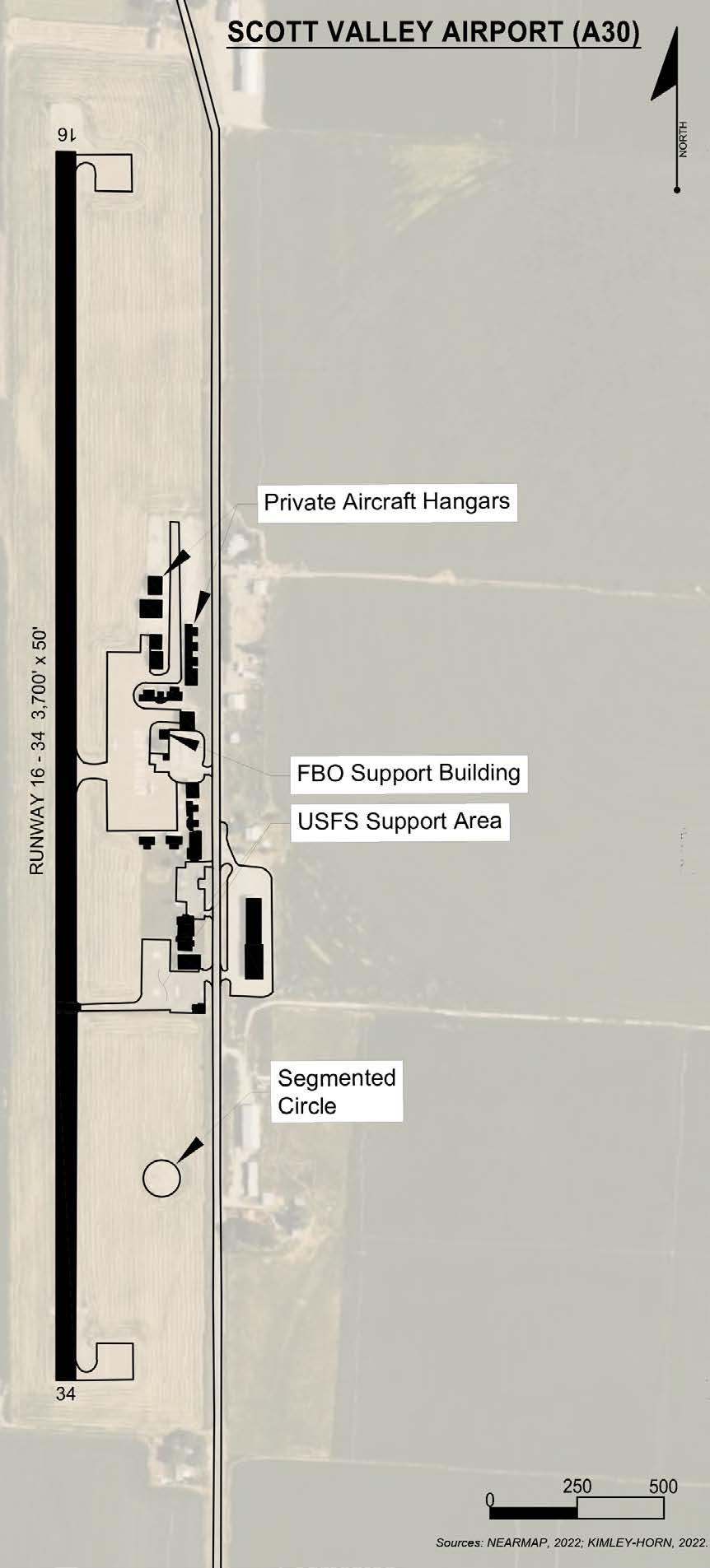
• Capitalized on my willingness and eagerness to work on different projects out of my comfort zone; examples being designing an apron layout design for Jacksonville International Airport and heading the creation of airport layout designs for multiple airports for Siskiyou County Airport.
• Interpolated data from the Federal Aviation Administration Advisory Circular 150/5325-4B for calculating a crosswind runway analysis for Romeo State Airport.
• Assisted the Transportation department in collecting traffic data for Regions Hospital for future ALP modeling to predict human traffic behavior.
Cincinnati Metropolitan Housing Authority: Spring 2022
• Responsible for working in both redevelopment and construction.
• Reviewed and completed Energy Star Portfolio for multiple properties to allow them to become green certified
• Helped in managing and leading community-organized events
• Directly examined and analyzed IRS 8609 forms to allow lowincome housing credits to be approved by the state of Ohio.
• Handled PCO, TCO, and COO for a property in Cincinnati to allow an Equity Investor Partner to claim tax credits for the next 15 years.
• Contributed to the development of comprehensive plans for the city to ensure sustainable economic growth and development.
• Conducted research and analysis on the impact of economic factors on the city and provided recommendations for future growth and development.
• Collaborated with the Planning Commission to evaluate potential development projects and their impact on the local economy.
“A city that outdistances man’s walking powers is a trap for man”
- Arnold J. Toynbee -
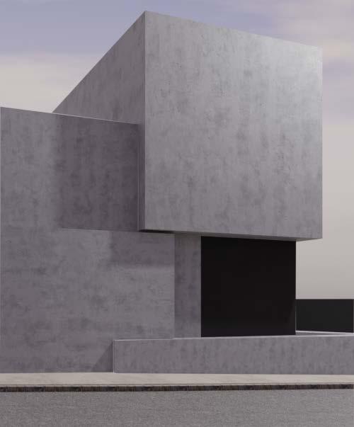
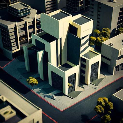
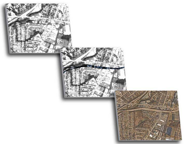
Collection of works consisting of 3D modeling, photoshop/illustrator, and photography.
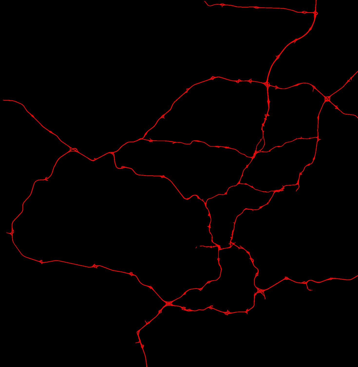
Contract for Siskiyou County Airport to create aviation layout plans for surrounding airports.
Identifying regional issues in Cincinnati due to the creation of the highways and coming up with creative solutions to help reclaim land
Creation of a comprehensive plan to connect targeted neighborhoods through use of an intermodal trail.
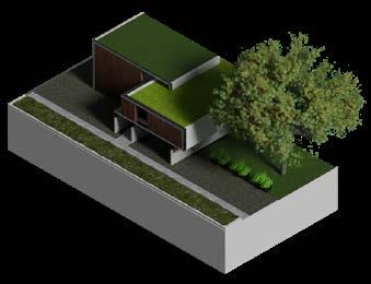
Even though 3D modeling isn’t a subject that’s extensively emphasized in school, I wanted to acquire it for personal reasons and to expand my skill set in preparation for future employment.
I’ve started learning other 3D applications like SketchUp and Rhino, though I’ve largely utilized Blender for my own projects. I’ve started studying rendering applications like Lumion too.


Kimley-Horn
Fall 2022
During my time at Kimley-Horn, I was in charge of a variety of projects that I had never worked on before, as well as using software that I had either never used before or had only picked up once or twice, primarily CAD software like AutoCAD and Civil 3D.
The client, Siskiyou County, California, commissioned the project, which is displayed in the following few pages. It consists of aviation layout plans. They needed these layout designs because they intended to expand their airport, and in order to accomplish that, they needed to know what other airports in the 30-mile radius had to offer in terms of airspace, runway length, facilities, landing systems, and other features.

Spring 2023
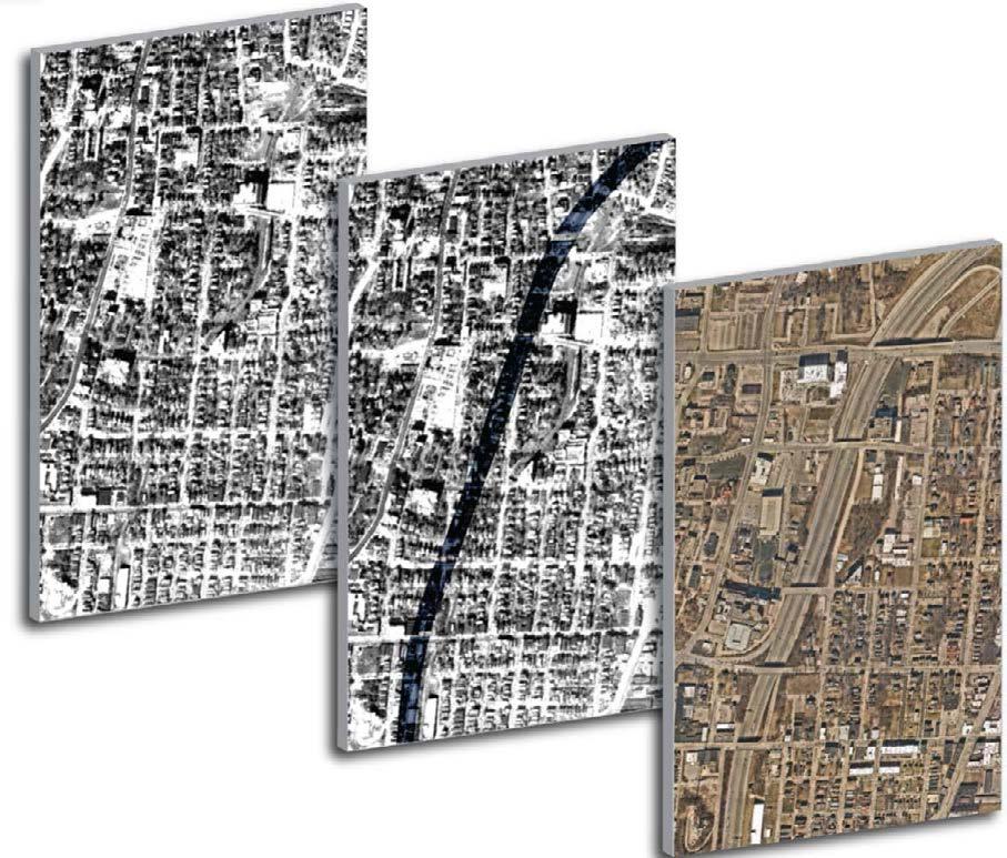
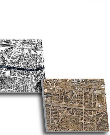
In my studio project, I embarked on a compelling exploration of the racial divide in Cincinnati, a city deeply impacted by the construction of highways. I delved into the historical and contemporary repercussions of highway development on marginalized neighborhoods. My project aimed to shed light on the systemic issues at play and propose innovative solutions to heal these affected communities. Utilizing a diverse set of tools and skills, including Adobe Creative Suite for data visualization, AutoCAD for urban design and planning, and Blender for 3D modeling, I was able to craft a comprehensive and visually engaging presentation. Through this work, I sought to ignite a conversation on how thoughtful urban development and community-focused initiatives could help bridge the racial divide and foster a more equitable and inclusive Cincinnati.
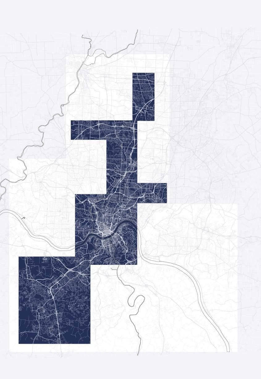
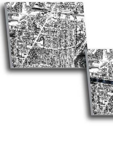
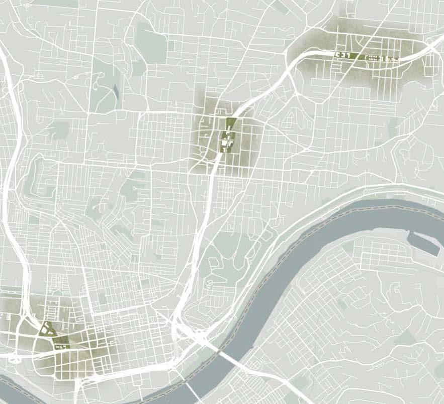
Selected Study Regions: Before and After Highway Construction
This transformative initiative in Cincinnati aims to reconnect and heal torn-through neighborhoods, reintegrate side and main streets, and introduce sustainable transportation options. It emphasizes the incorporation of green and blue infrastructure to promote self-reliance and sustainability. The project seeks to positively influence the region while restoring a sense of community. It creates realistic plans that respect Cincinnati’s history and future while fulfilling communities’ urban fabric needs, reflecting a commitment to community development that respects the city’s unique identity.

The areas shown were carefully chosen based on statistical data and the effect imposed on them through highway construction. This selection reflects our commitment to revitalizing communities that have historically faced urban challenges and aims to bring about positive change in these neighborhoods.
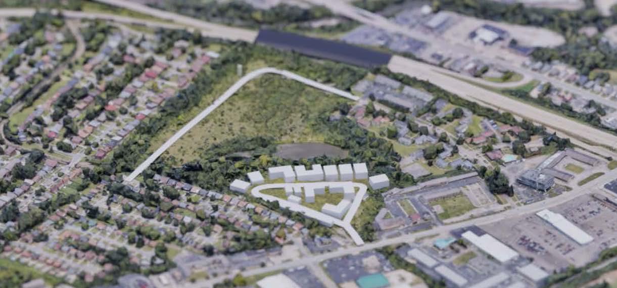
 Evanston
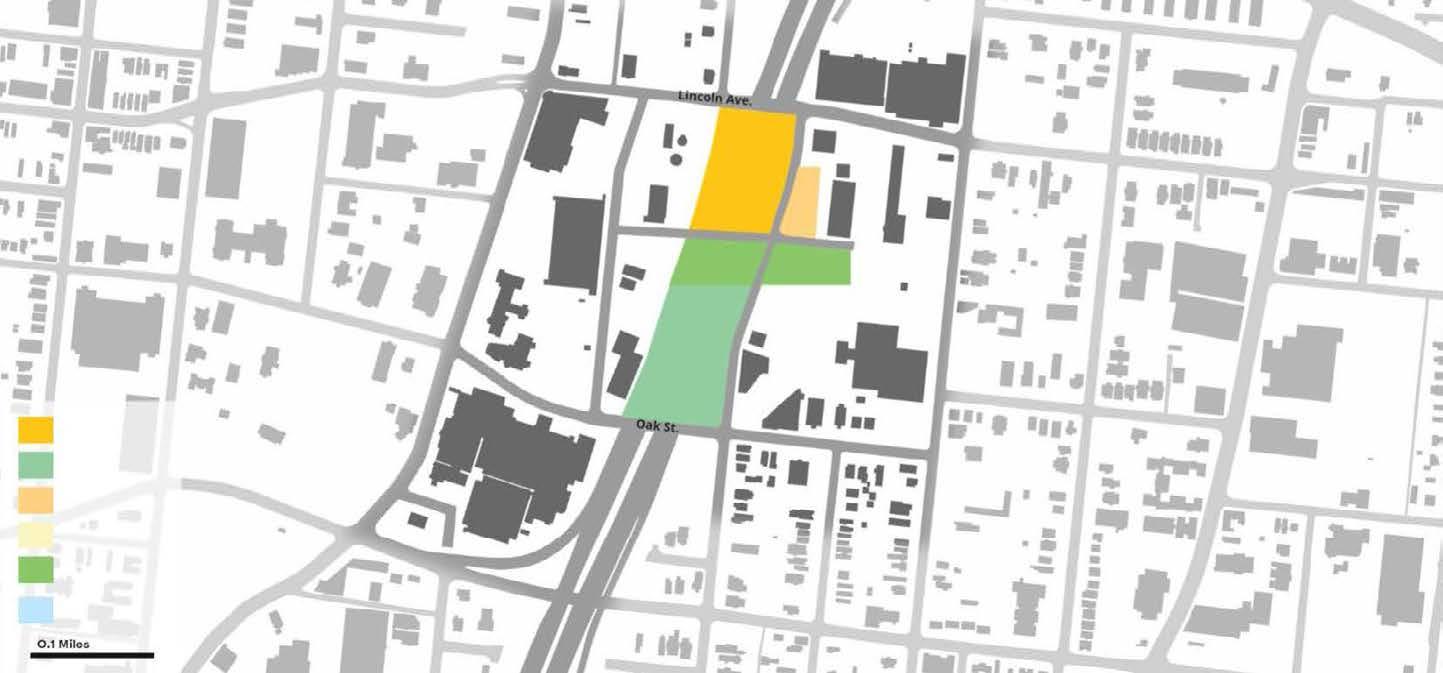
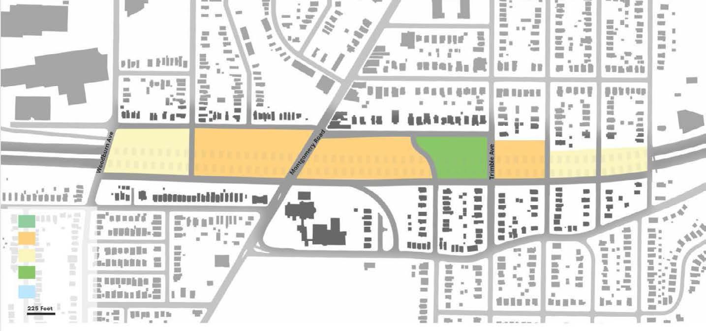
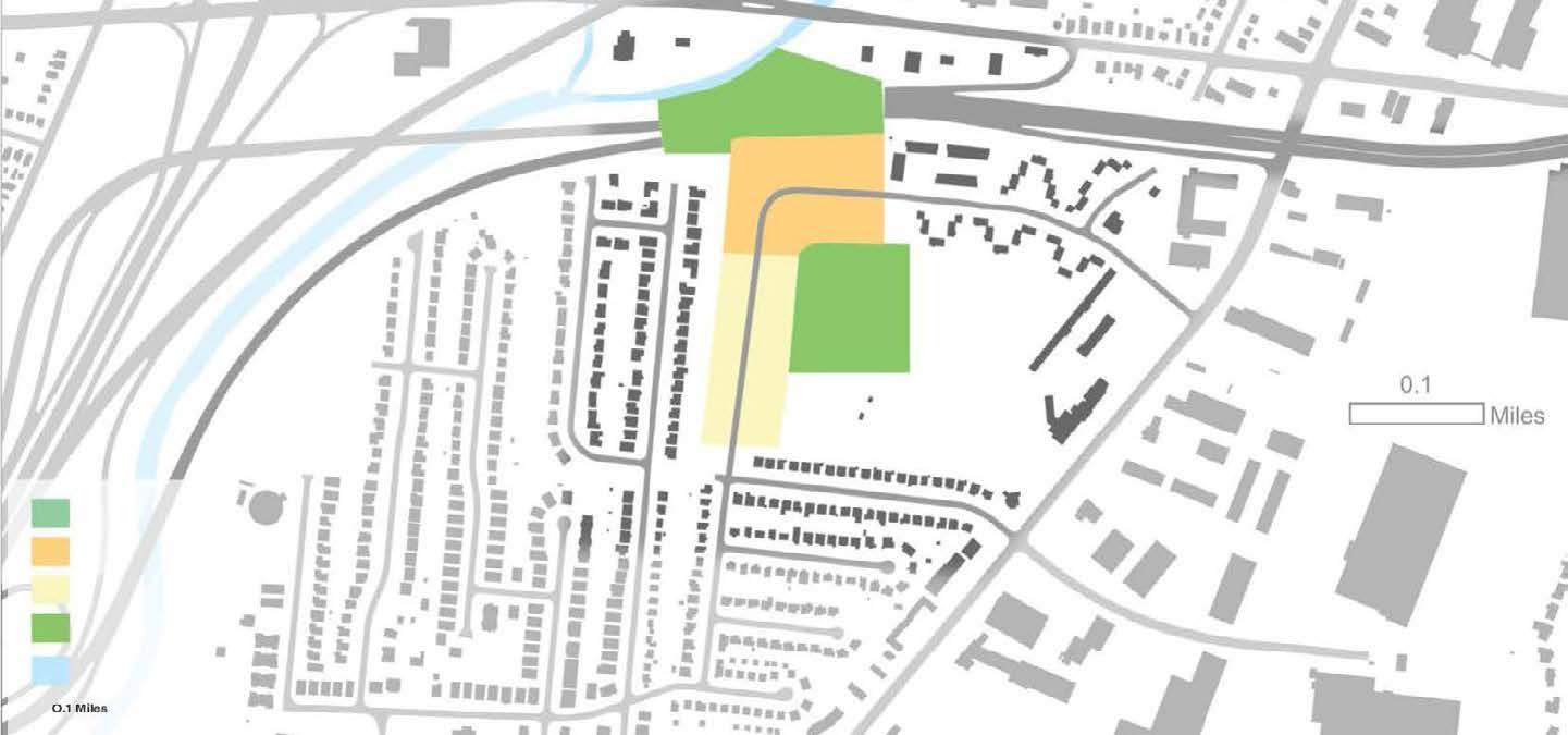
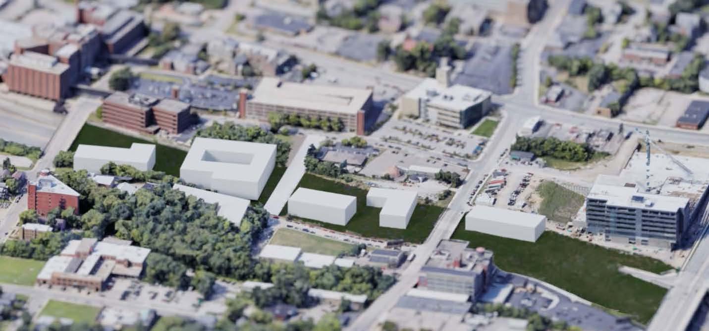
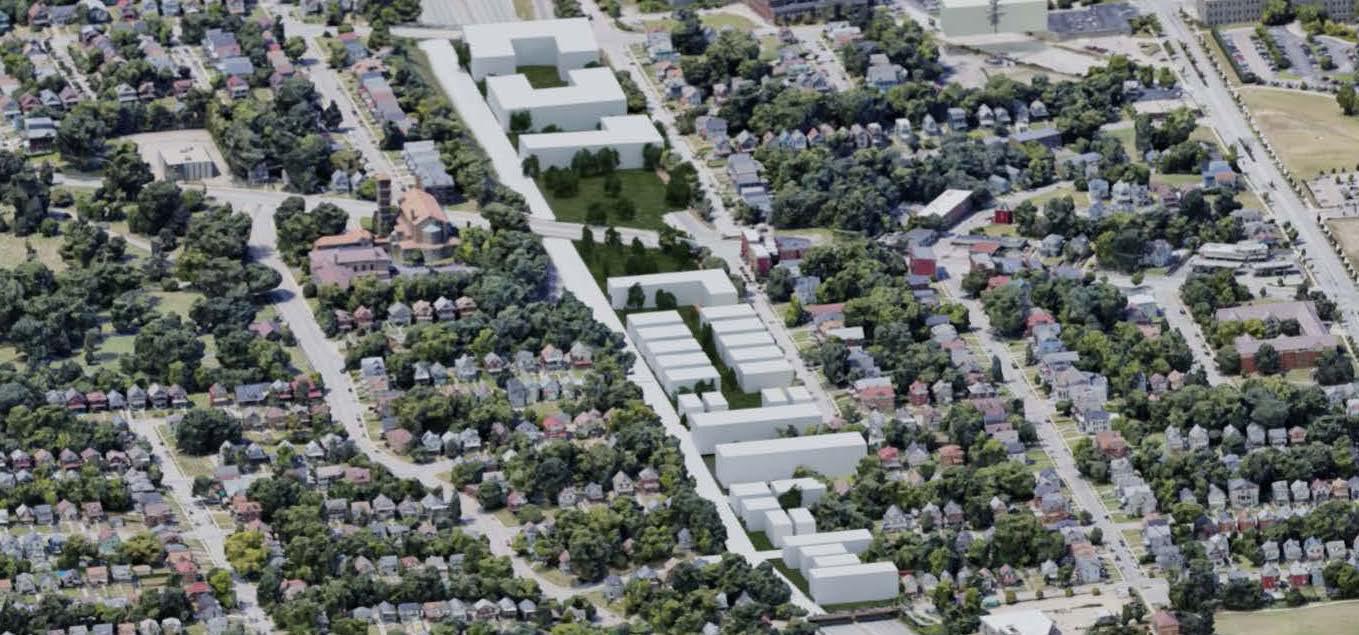
In Walnut Hills, Evanston, and Arlington Heights, our urban design and planning goals are centered on a strategic approach to revitalizing these communities. In Walnut Hills, we aim to reclaim 8 acres of space for institutional and mixed-use development, emphasizing community connections and greenspace access. Similarly, in Evanston, a 24-acre reclamation effort is geared towards multifamily and single-family development, addressing housing needs and promoting a tightly knit urban fabric. In Arlington Heights, our objectives encompass 18 acres for greenspace and housing development, enhancing nature access and reconfiguring streets while embracing urban design and planning principles. These comprehensive goals aim to transform these neighborhoods into more sustainable and vibrant communities, emphasizing community connection, housing, and access to greenspaces as integral components of well-designed urban environments.
Plan Layout: Wallnut
Plan Layout: Evanston
Plan Layout: Arlington Heights
In Cincinnati, the construction of highways has historically created significant disconnections within neighborhoods, fragmenting urban fabric and disrupting established communities. This issue is particularly pronounced due to the presence of sunken highways, which further exacerbate the divide. However, these sunken highways also offer a unique opportunity for remediation through the implementation of highway caps. By transforming these caps into green spaces, community parks, or mixed-use developments, we can effectively bridge the gap created by the highways. Building highway caps in Cincinnati not only physically reconnects neighborhoods but also fosters social interaction, recreation, and community cohesion, revitalizing areas, and improving the overall quality of life for residents. These caps represent a promising solution to mitigate the adverse effects of highway construction, allowing Cincinnati to rebuild and create a more connected, vibrant, and resilient urban environment.
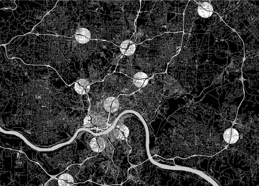
The Mill Creek is a historic but forgotten waterway in Cincinnati that became heavily polluted due to its importance to industrial growth, earning the label of the most endangered waterway in America in 1997. While the state of the waterway has improved, there remains a disconnect between the community and the waterway.
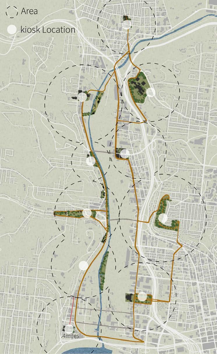
The primary goal of the project was to propose a trail connecting thirteen neighborhoods bordering the Mill Creek, while considering the needs of the communities and determining the best course of action to implement the master plan.
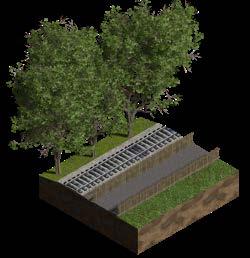
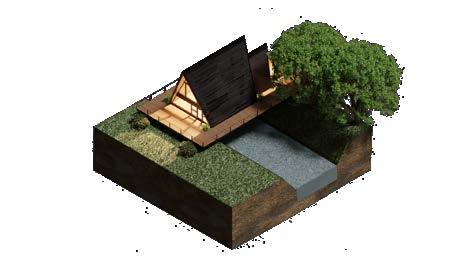
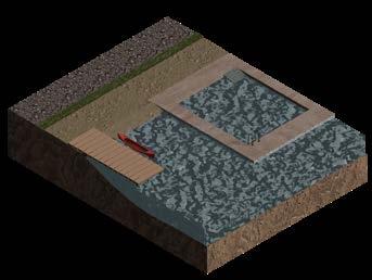
The project utilized various design software, including Photoshop, Blender, Lumion, Illustrator, and SketchUp to develop the proposal for the trail.
A conceptual map was made to help my group identify regions along the Mill Creek that are connected (red), and unconnected (yellow), as well as highlighting what we believed to be the most essential hubs and nodes, in order to aid in better understanding from the start.
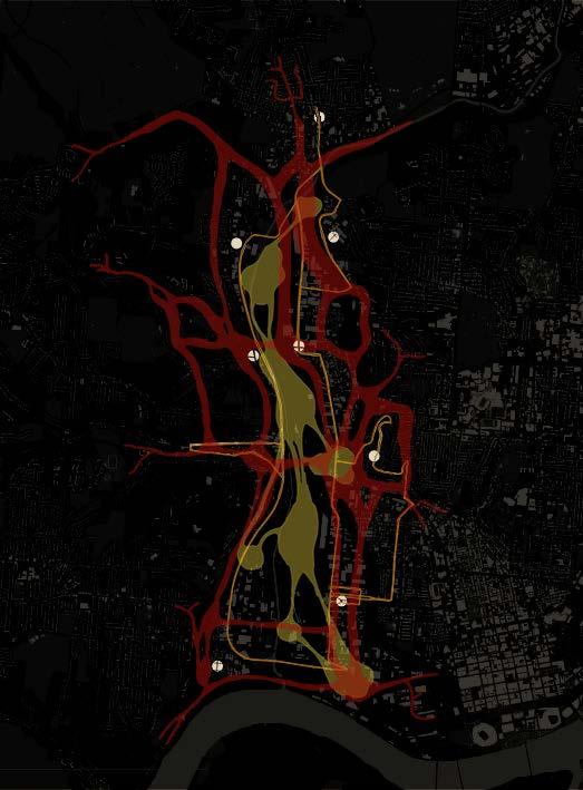

My group’s job for this project was to identify the main problems for the Mill Creek Watershed and to develop a comprehensive plan that addresses those problems through a planned multimodal route that would run along a four-mile stretch of the Mill Creek, close to downtown Cincinnati.


The conceptual plan highlighted five primary objectives as important targets that should be accomplished via the implementation of the route. The four main research values have a significant influence on these goals. These ecological, social, and infrastructure objectives must be satisfied if the plan is to realize its full potential.

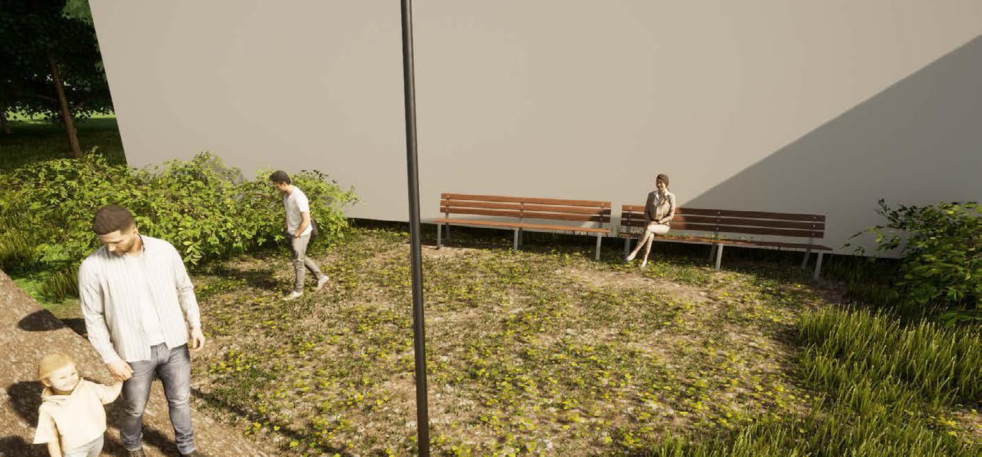
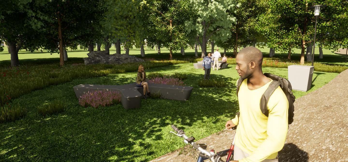
Using problem identification and the four main research values, the final site plan was produced. The repurposing of a defunct CSX rail line into a multimodal corridor connected activity “hubs” and neighborhood activities. Communities centers are near sites focused on economic expansion. The idea also includes brand-new places set aside for community involvement and green infrastructure.

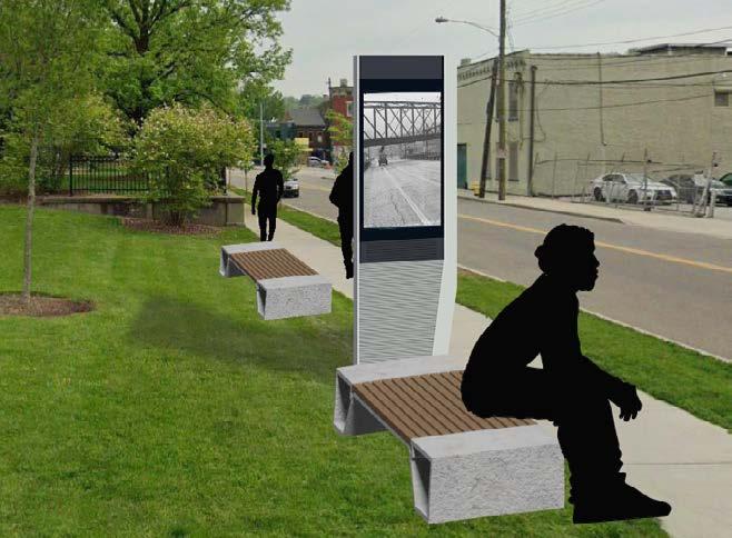
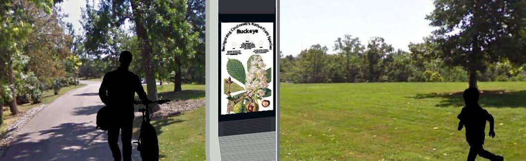
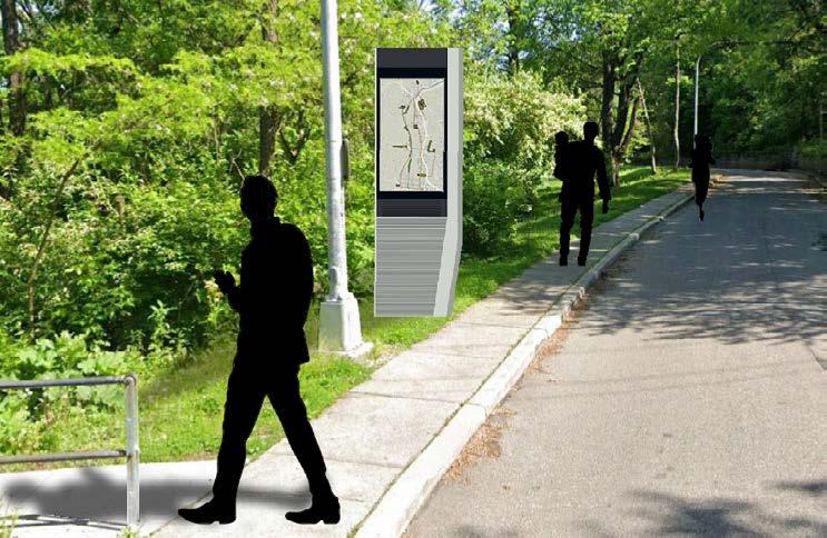
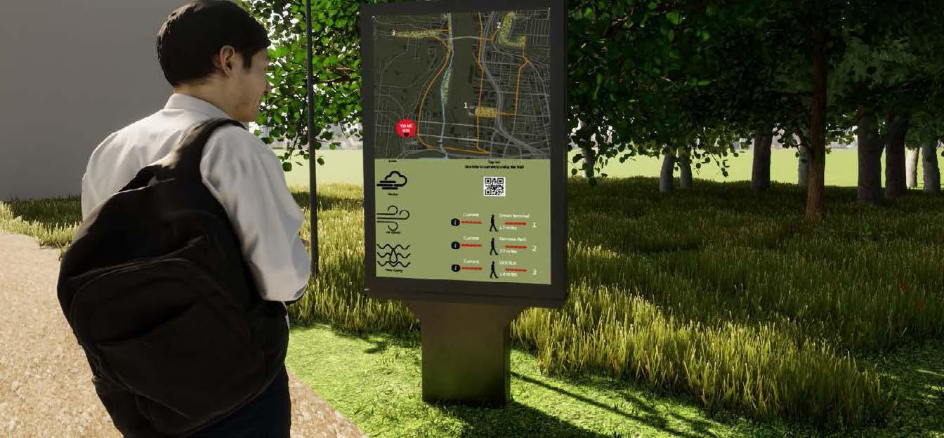
The ultimate objective of the route is to improve community engagement so that communities in Cincinnati, particularly those along the Mill Creek, can develop and take on a bigger role in Cincinnati’s history. The installation of an information kiosks, which would provide general information about the trail as well as neighborhood information, such as a heat map showing where most people are, along with a usage map showing which parts of the trail aren’t being used as much, was my group’s suggested solution to help increase community engagement.