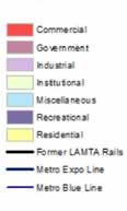
LANI MACLEAN LANDSCAPE ARCHITECTURE PORTFOLIO

EDUCATION CONTACT
T: 1 714 900 1072
MASTER’S IN LANDSCAPE ARCHITECTURE
Cal Poly Pomona 2019 - 2022 Expected Graduation
BA HUMAN AND URBAN GEOGRAPHY
California State University, Long Beach 2010 - 2014
E: lani.mei.maclean@gmail.com
IG: @lani.dzn
IN: lani-maclean-47b210120/
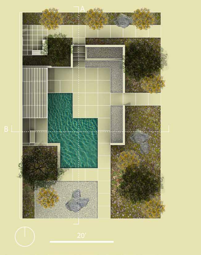
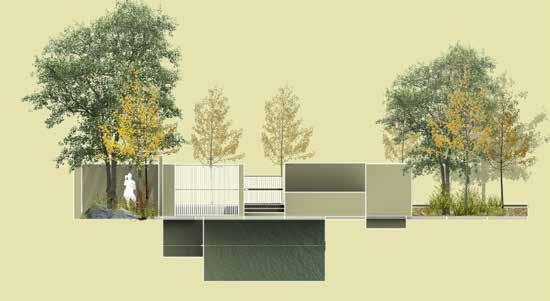
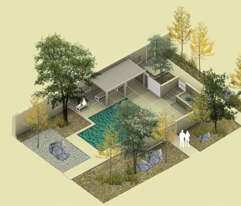
• COURTYARD DESIGN: RHINO 3D AND TWINMOTION
• PLANTING PLAN: SOUTHRIDGE DRIVE, SANTA ROSA CA
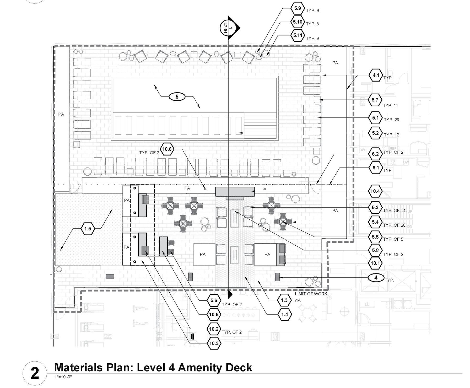
• BLAKE STREET AMENITY DECK, ON-STRUCTURE AMENITY DECK
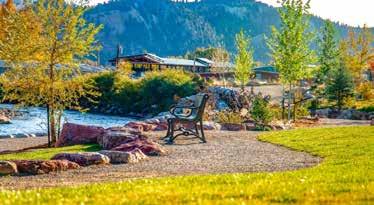
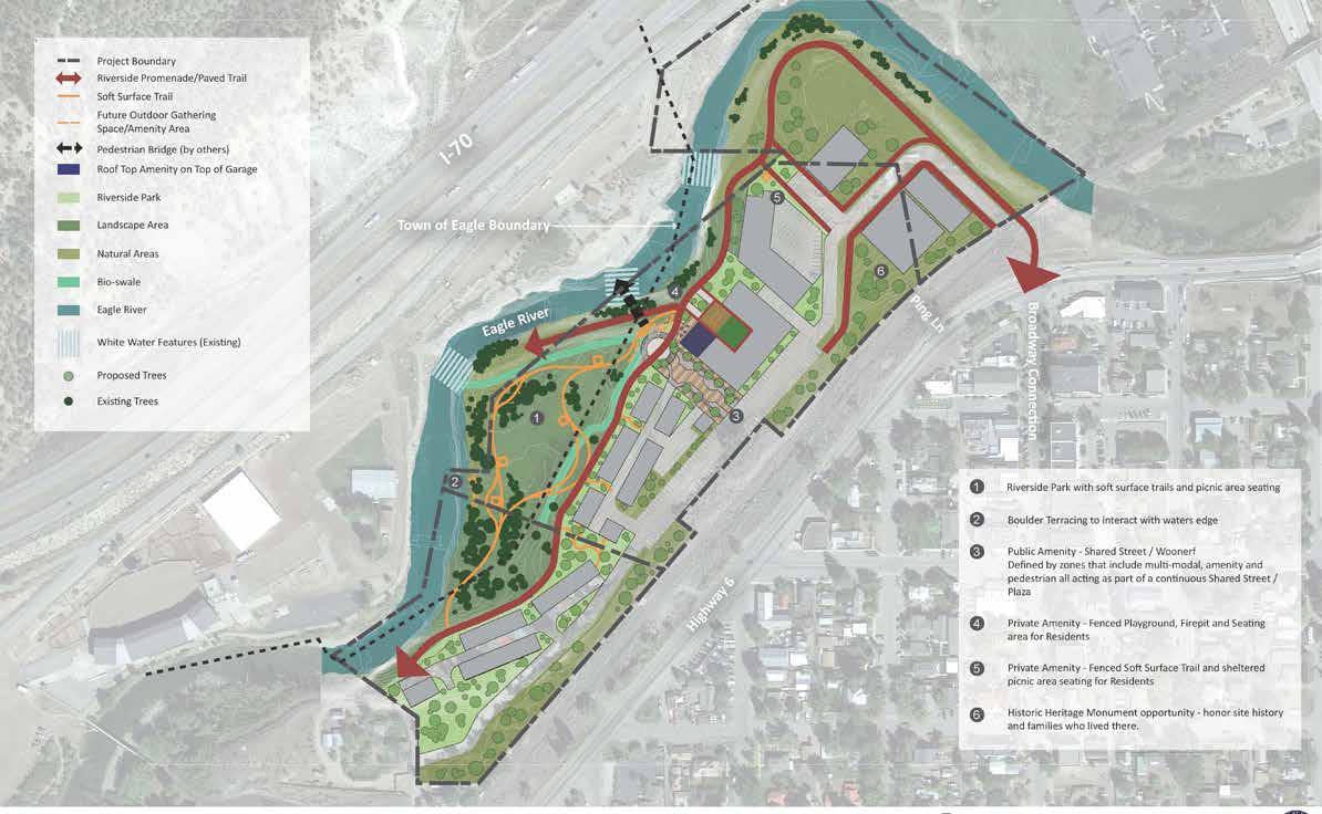
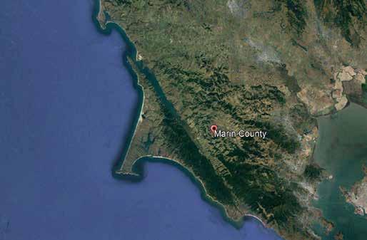
• EAGLE COUNTY RIVERSIDE PARK CONCEPT, ADAMS COUNTY
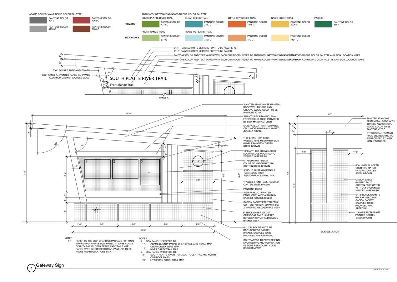
WAYFINDING SIGNAGE DETAIL
• BETWEEN THE LINES: DESIGN FOR CHANGE STUDIO-- SOUTH
CENTRAL LOS ANGELES
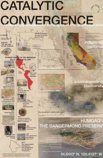
• CATALYTIC CONVERGENCE-- REGIONAL STRATEGY FROM
DANGERMOND PRESERVE
• DRAFTING AND CONSTRUCTION DOCUMENTATION
• BLENDER ANIMATION
• URBAN ACUPUNCTURE THROUGH PHOTOGRAPHY
• HAND DRAFTING, MODELS AND DIGITAL COLLAGE
• ARCSCENE LANDCOVER ANALYSIS AND ARCGIS TRAIL DESIGN
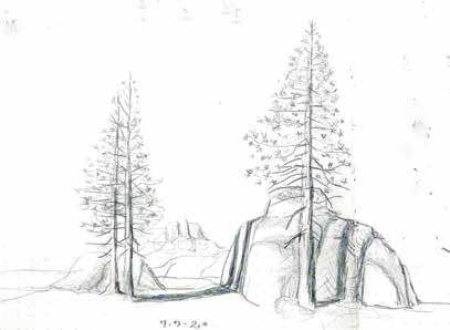
• HAND SKETCHING

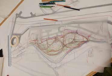
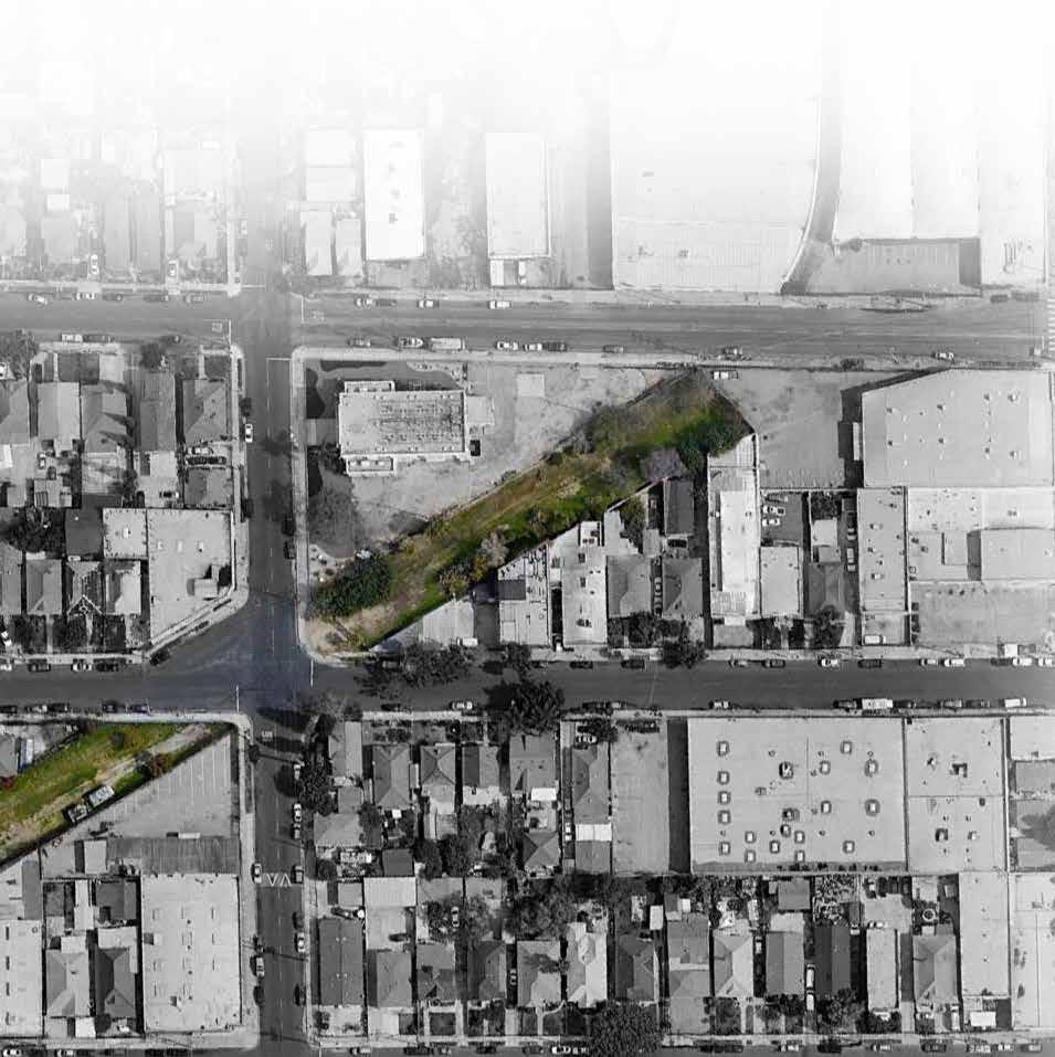
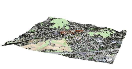
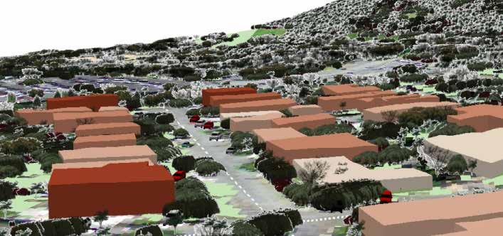
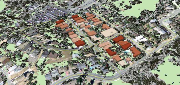
SITE ANALYSIS + HAND SKETCHING + AUTOCAD / CIVIL3D + ILLUSTRATOR : Prepared for Design Workshop 2022

Based on the 1990 thesis project, Los Angeles Urban Ecology, the team was tasked with reviewing the efficacy of the precedent project and the transformation of conditions to be addressed in 2020. GIS analysis highlighted the persisting conditions of Social and Environmental Injustice in South Central Los Angeles, informing the project’s goals to connect life “between the lines” of the urban grid.
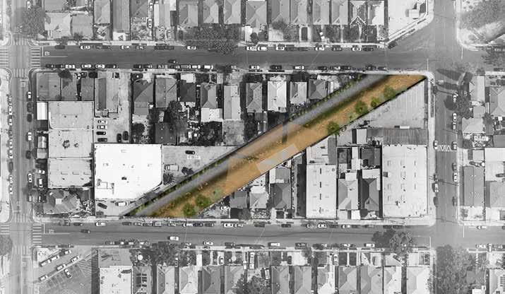
• Ecology Between the Lines: Integrate Pollinator Habitat Connectivity and Open Space Corridors
• Reading Between the Lines: Address linguistic isolation -- Support Linguistic and Cultural diversity with dedicated outdoor learning space
• Between the lines of Injustice: Resisting Redlining, Gentrification, and the Impacts of “Disaster Capitalism” during COVID-19
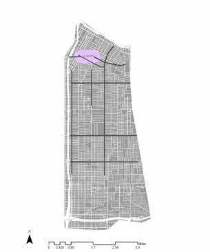
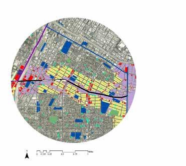
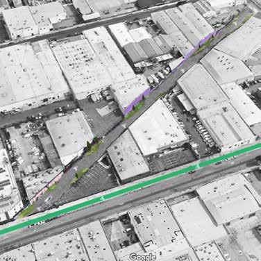

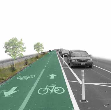
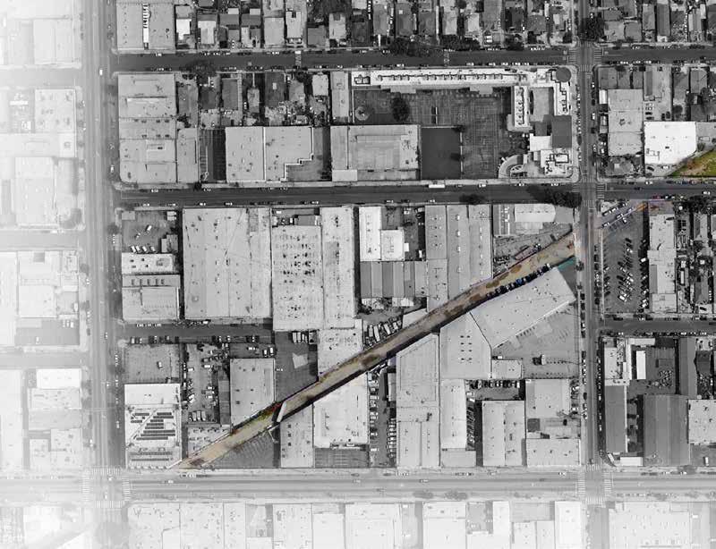
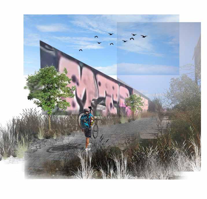
JEFFERSON BVLD X MAIN
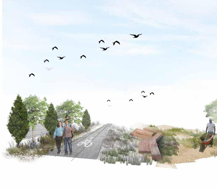
• BICYCLE AND PEDESTRIAN CORRIDOR
• GREEN INFRASTRUCTURE AND STORMWATER MANAGEMENT
• PROTECTED BIKE LANES
31ST X TRINITY
• INTEGRATE RAIL CORRIDORS
• COMMUNITY
• NATIVE PLANT
• COMMUNITY
INTEGRATE POLLINATOR HABITAT ALONG
CORRIDORS
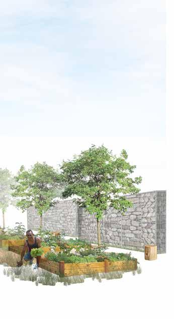
COMMUNITY GARDEN PLOTS
PLANT AND POLLINATOR GARDEN
COMMUNITY HEALING SPACE
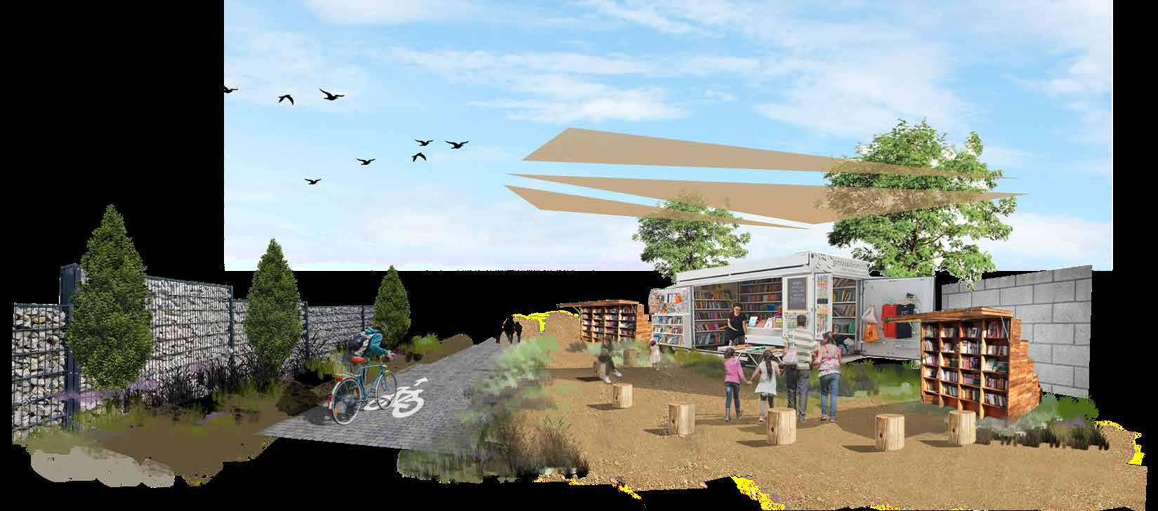
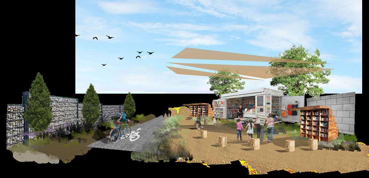
• OUTDOOR COMMUNITY LIBRARY
• OUTDOOR LEARNING SPACES
• SAFE ROUTES TO LOCAL SCHOOLS
• ADDRESS LINGUISTIC ISOLATION VIA EDUCATIONAL PROGRAMMING
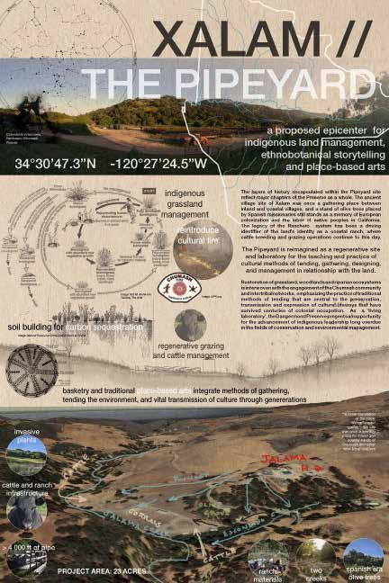
soil building for carbon sequestration
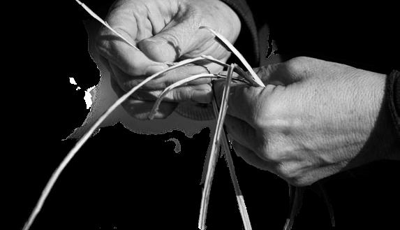
basketry and traditional place-based arts integrate methods of gathering, tending the environment, and vital transmission of culture through genererations
From time immemorial, the coevolution of place and people has produced methods of life and harmonious land management, persistent among modern descendents of indigenous people have share the deepest relationship with this land.
The ancestral name of this land is Humqaq. To indigenous people around the world, this place is the Western Gate, kept for millennia by the original peoples of Turtle Island’s Southwestern coast. The spiritual geography of this land marks the point of a soul’s departure-- their culminating journey to the land of the dead.
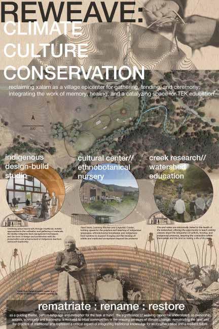
As more than a ‘living laboratory’, the Dangermond Preserve’s change in leadership presents a key opportunity for the advancement of Indigenous leadership, long overdue in the fields of conservation and environmental management.

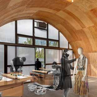
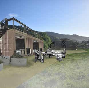
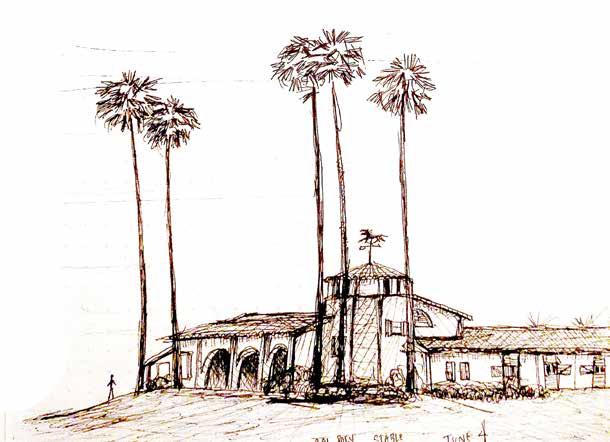
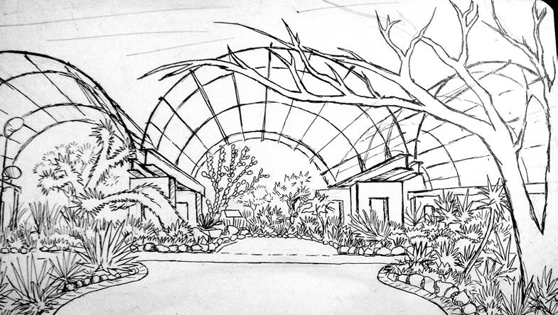
While presently used in cattle ranching operations, the “Pipeyard” is reimagined as a regenerative site and laboratory for the teaching and practice of cultural methods that incorporates tending, gathering, designing, and management in relationship with the land. Specifically tailoring the space towards the needs of tribal members to practice and teach the lifeways they’ve preserved over millenia, this scheme is a catalytic campus to mobilize TEK beyond the bounds of the preserve.
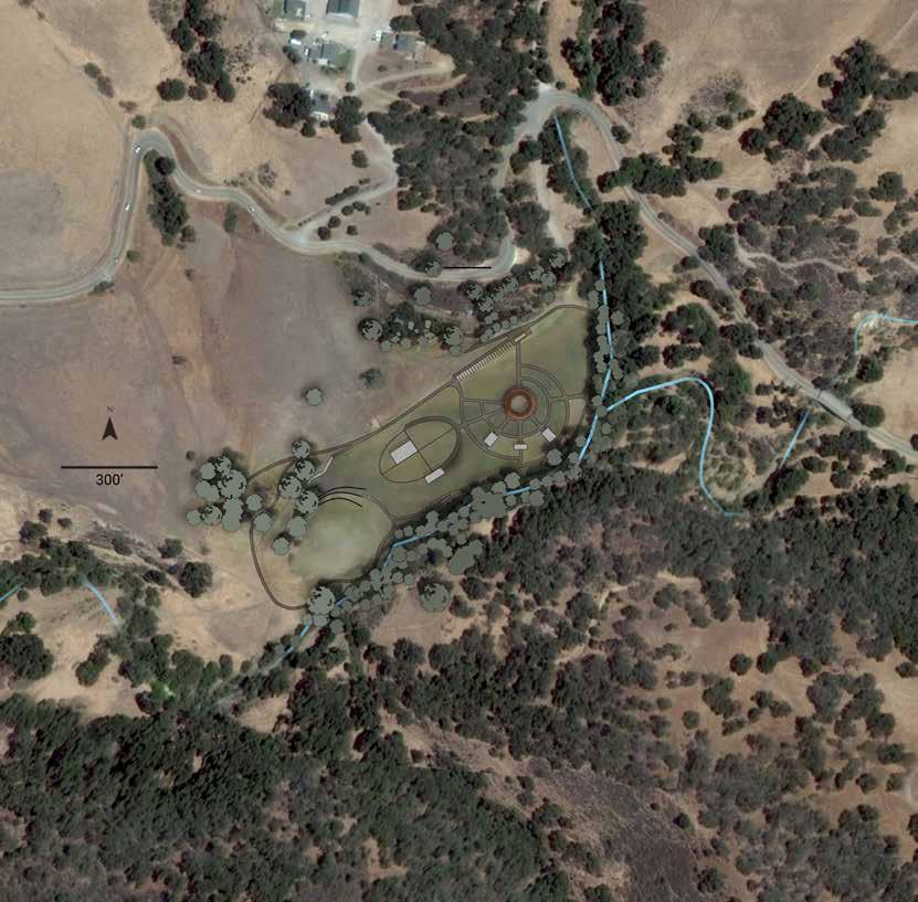
1. TNC Office
2. Tralhead for Principal Loop
3. Central Gathering Area
4. Demonstration Gardens
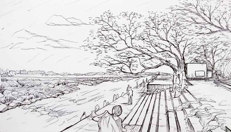
5. Creek Access / Village of Xalam
6. Design Studio / Workshop
7. Classroom
8. Horticulture Building
9. Riparian Habitat Restoration
10. Gathering Area 2
11. Cattle Ranching Infrastructure
12. Olive Grove and Ethnobotany Trail
First Place:
SCASLA Leadership in the Landscape 2021
LAF Superstudio
Featured Project
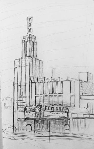
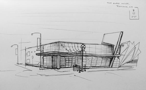
COLLECTED THROUGH A SERIES OF SITE VISITS, PHOTOGRAPHS OF VARIOUS LOCATIONS IN LOS ANGELES PROPER ARE REFRAMED AND RE-IMAGINED THROUGH ILLUSTRATIONS OF SMALL-SCALE, TACTICAL INTERVENTIONS.
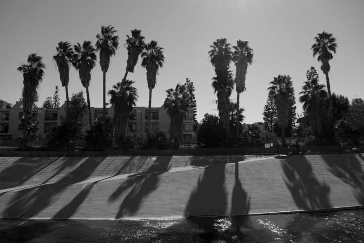
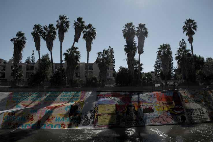
Before the name “Los Angeles” was ascribed and the land was developed, this was Tongva land. A recent series supported by NDN Collective’s Radical Imagination Grant uplifted a series of public works by Tongva artists via billboard: The concrete walls of the channelized LA River are remade as a great canvas, emboldened as a visual land acknowledgement via the paintings and printwork of Tongva artist River Garza.
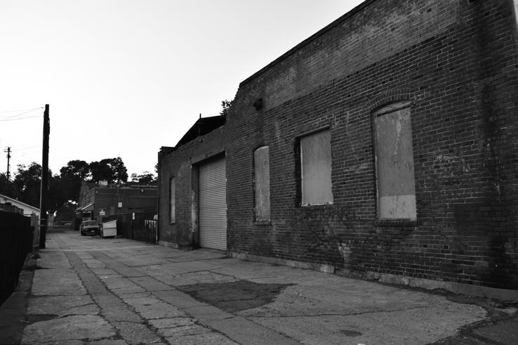
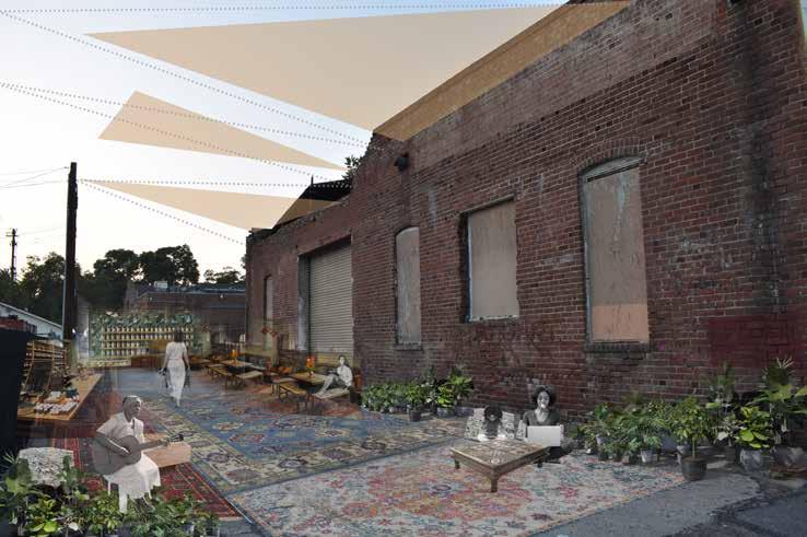
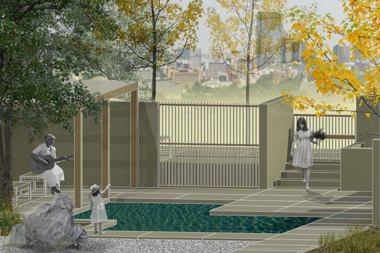
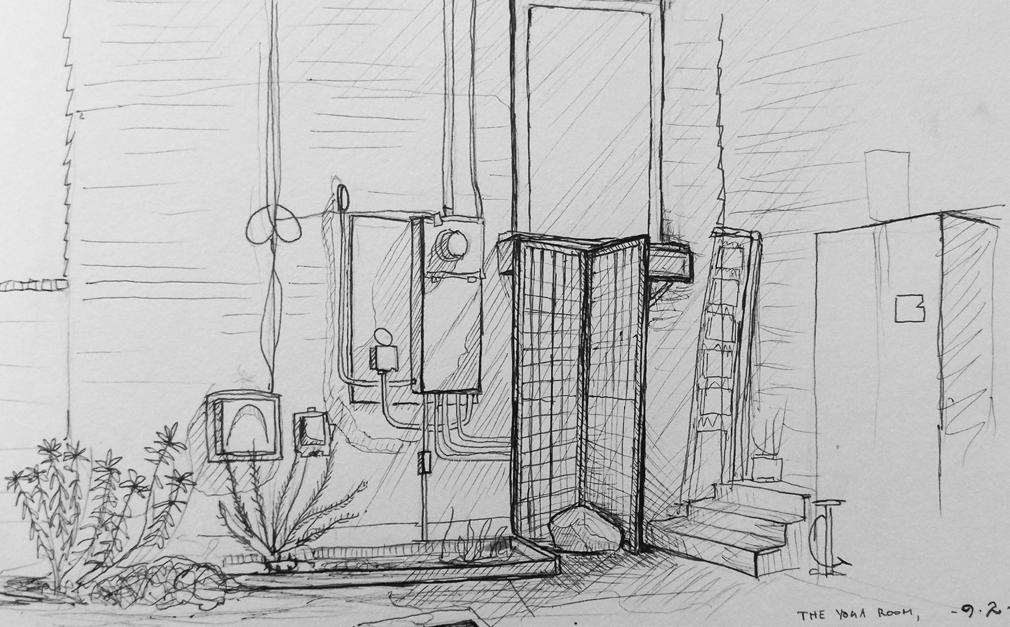
The outdoor room in this context is merely softened: Brick is trimmed with plants and lights, the concrete ground is carpeted with a collage of rugs and cushions, and the sky ceiling is filtered with shade and light, offering comfort to tea drinkers in the day and night. The alley is reimagined as casual and inviting space to meet for tea or coffee.
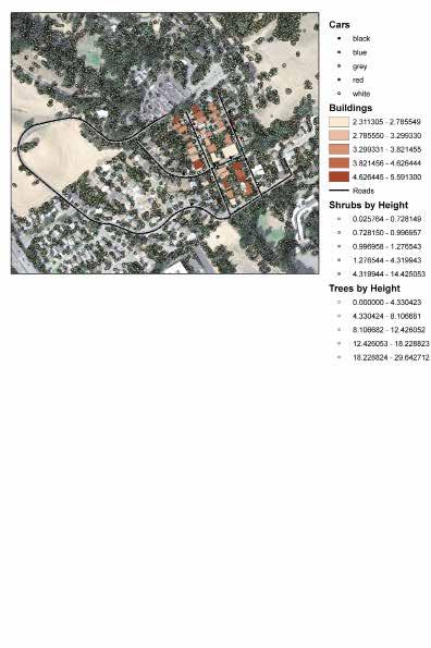
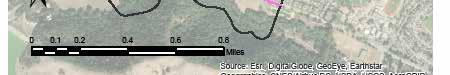

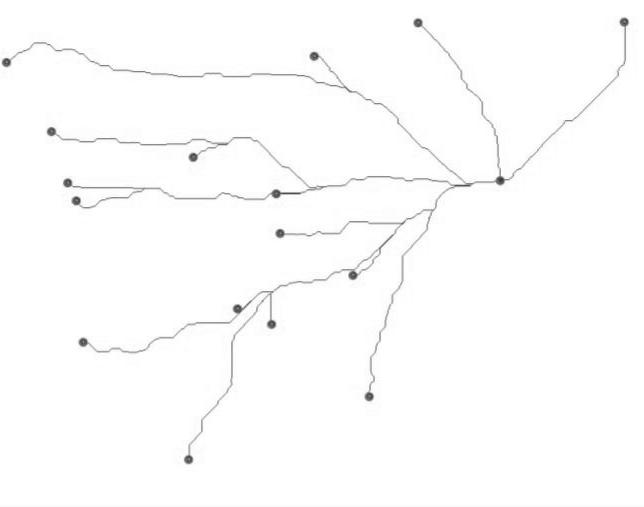
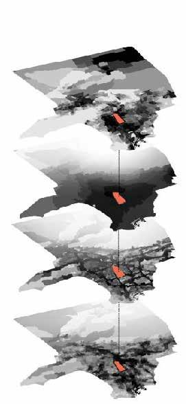
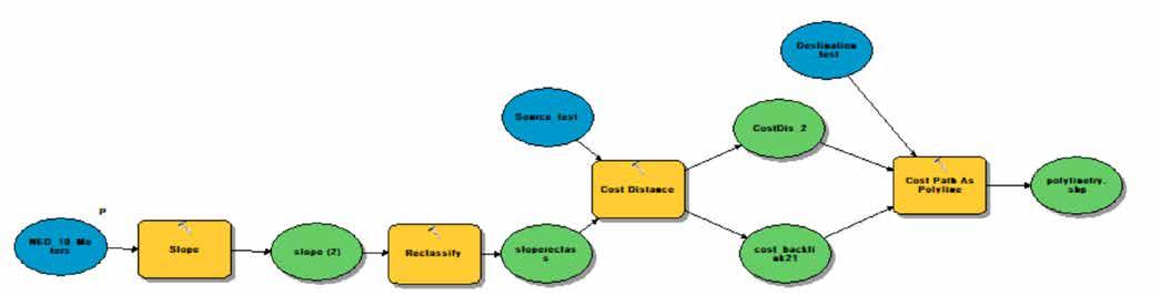
Data Inputs: Vector (Dataset) Landmarks (Vector) NED_10_Meters (Raster)

Trail Design Tool
Allows the user to take a single layer of point data and automatically generates a trail network to connect each point individually
Outputs: + Slope
+ A network of all possible path connections between the Landmarks
Model Output Network


THANK YOU