RED LINE PUBLIC ART PLAN
CLEVELAND, OHIO

PREPARED BY LAND STUDIO

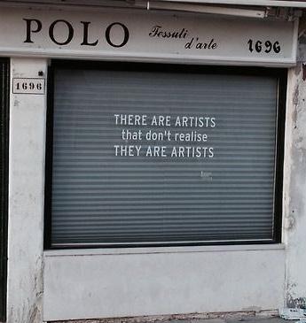
FLIP FROM THE BACK TO SEE THE FLIP BOOK ! !


PREPARED BY LAND STUDIO
FLIP FROM THE BACK TO SEE THE FLIP BOOK ! !
The Red Line Public Art Plan, prepared for the City of Cleveland’s Department of Economic Development, explores possibilities for investment in public art along the Red Line railtransit line and considers what benefits such investment could bring.
The goal of the plan is to provide a framework for producing a public art collection along the Red Line that would improve the view from the train, contribute to Cleveland’s ability to positively impress residents and visitors, bring attention to the region as a place worthy of investment, and make use of the skills of artists to tell stories, provide information, and create a visually compelling landscape. While public art along the line would have practical purposes—promotion, beautification, and information, for example—it should also be of sufficient merit artistically to be an attraction in itself.
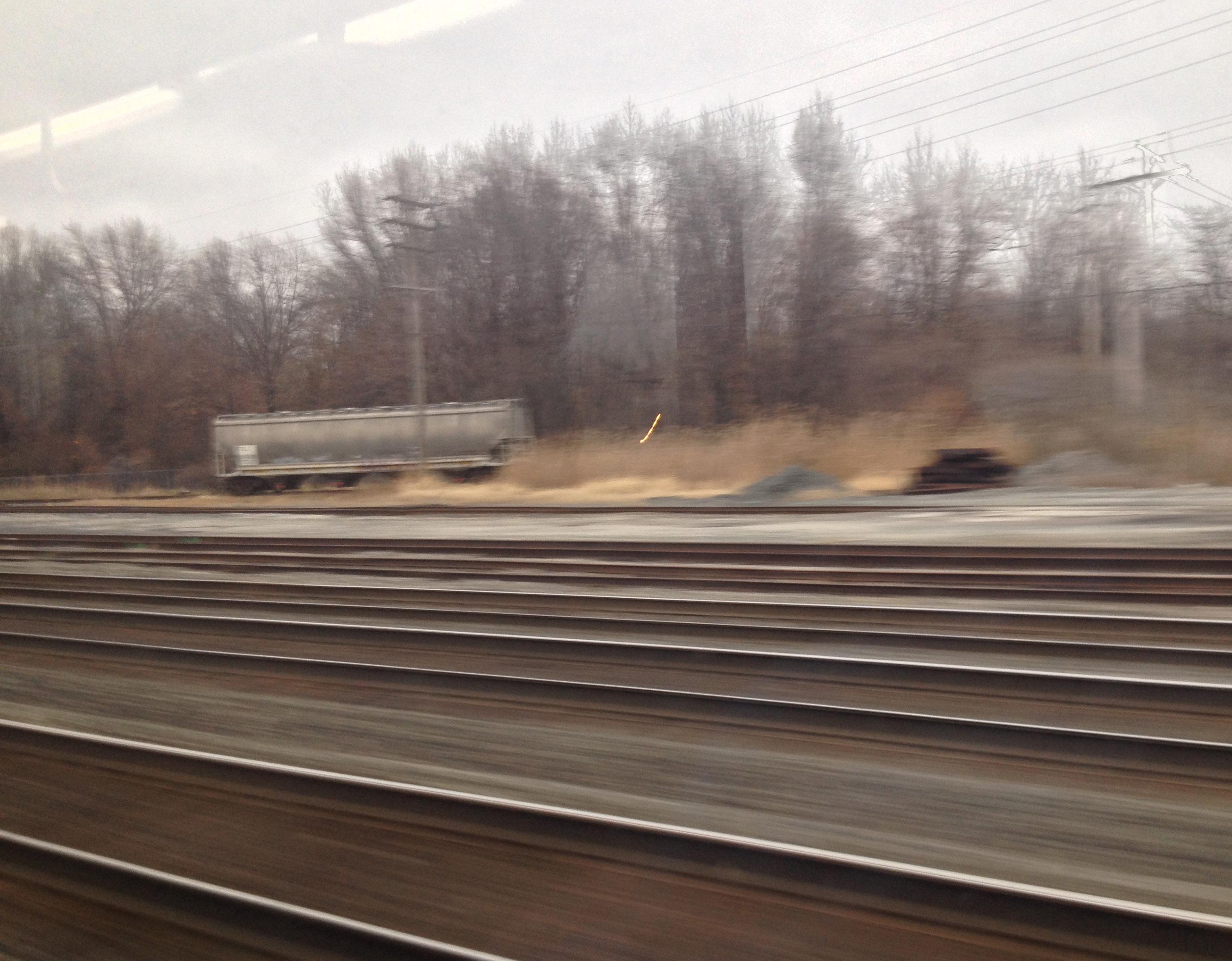
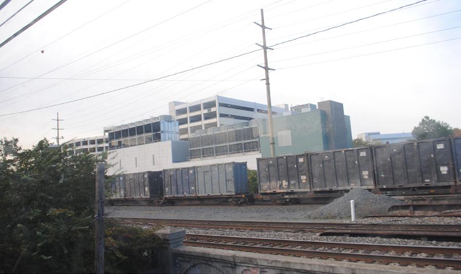
The heavy-rail Red Line, operated by the Greater Cleveland Regional Transit Authority (RTA), is an unusual and underappreciated regional asset. Its path across the city is sometimes below and sometimes above the city around it. For much of its route, it travels in a passageway used primarily by freight trains, along which many industrial and transportationrelated structures and artifacts are located. With the exception of a stretch of track it shares with RTA’s light-rail lines, the Red Line has exclusive right-of-way over its 19-mile length, a distance it covers in 44 minutes with stops at 18 stations.
The Red Line connects many of Cleveland’s economic centers, most notably the airport, downtown, and University Circle. As such, it is a path along which a percentage of visitors to the region will travel. Greater attention to public art along the way could make a statement about how Cleveland would like to be seen by the world and give the impression of a region actively building on its assets. For area residents, whether regular or occasional users of the line, an enhanced art collection would make travels on the Red Line more pleasant and thoughtprovoking.
Public art between Red Line stations would complement the art that is found in most of the stations and would transform the line from merely a transportation route to a transportation route that is also a notable cultural asset. The varied structures, surfaces, and vistas along the route provide innumerable sites that could host artworks.
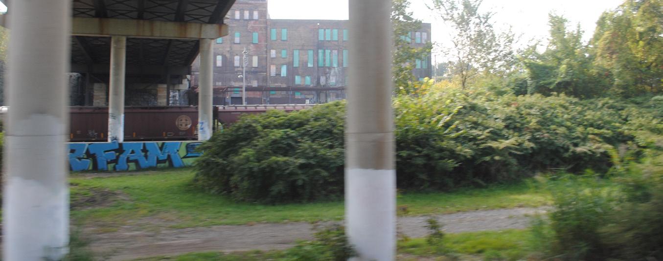
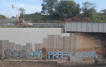
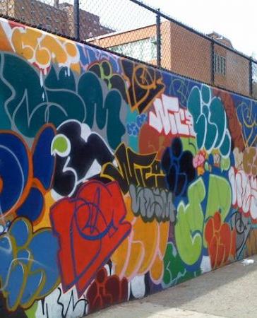
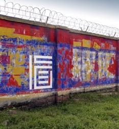
The plan makes way for alternate artistic strategies along the corridor, beyond the ubiquitous graffiti that now dominates the landscape. Integrating the skills of graffiti artists could provide an outlet for these talents while balancing riders’ experiences by including different kinds of artwork.
The view from the Red Line is seen by some riders as part of a local, everyday experience and by others as part of a journey to or from places near and far. Art along the line should reflect this mix and include the work of both local artists and artists from elsewhere in the country and world. Though some of the artwork could be promotional in nature, a Red Line public art collection would draw greater interest if varied in tone and subject matter.
This plan identifies specific locations for artwork along the Red Line and also discusses approaches to artwork that could apply to the various kinds of scenes and structures found along the route. The report considers precedents locally and in other places, in terms of the kinds of artworks that would be possible and the approaches that could lead to them. Potential funding sources and artist-selection processes are discussed.
Sources for images in this plan start on page 157. If image is unlisted, source is LAND studio.
The Red Line is unusual in many ways. It opened for service in 1955, during the rise of the superhighway and a year before the Federal-Aid Highway Act of 1956 established the Interstate Highway System—not an era during which public transportation was a national priority. The line took form gradually between initial plans in the 1920s and the start of service 30 or so years later, and the purposes it was expected to serve shifted significantly during that time. Cleveland has had rail transit continuously in one form or another for more than 100 years. Other than Chicago, a city many times larger, Cleveland is the only Midwestern city that can make this claim.
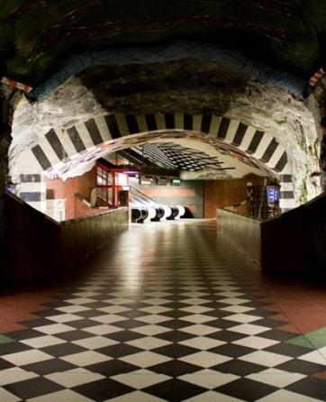
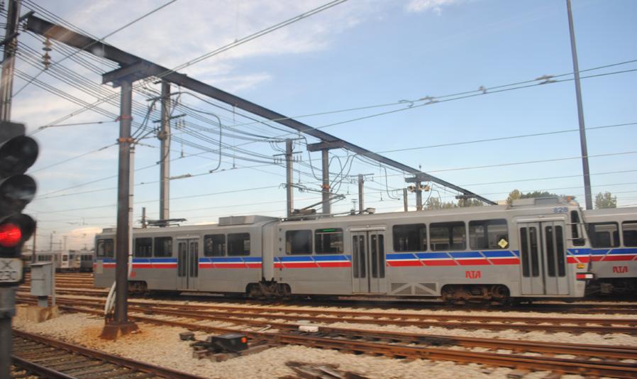
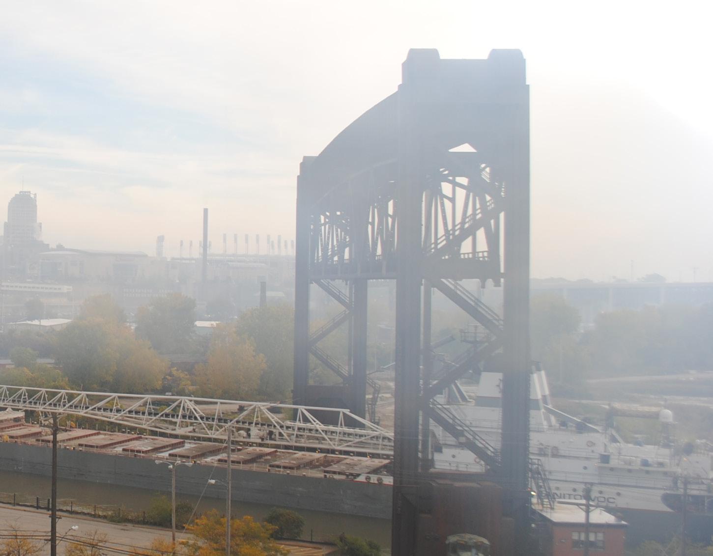
RTA’s Red Line, a heavy-rail line which opened for service between 1955 and 1968, travels 19 miles from end to end. Sixteen of its 18 stations are in Cleveland (one of the 18 is partly in Brook Park), and its two easternmost stations are in neighboring East Cleveland. Remarkably, for a primarily surface-running route, the Red Line has an exclusive right-ofway, with the exception of a stretch of track it shares with RTA’s light-rail lines. Though it is not a subway line, two stations—at the airport and in Tower City—have the feel of subway stations.
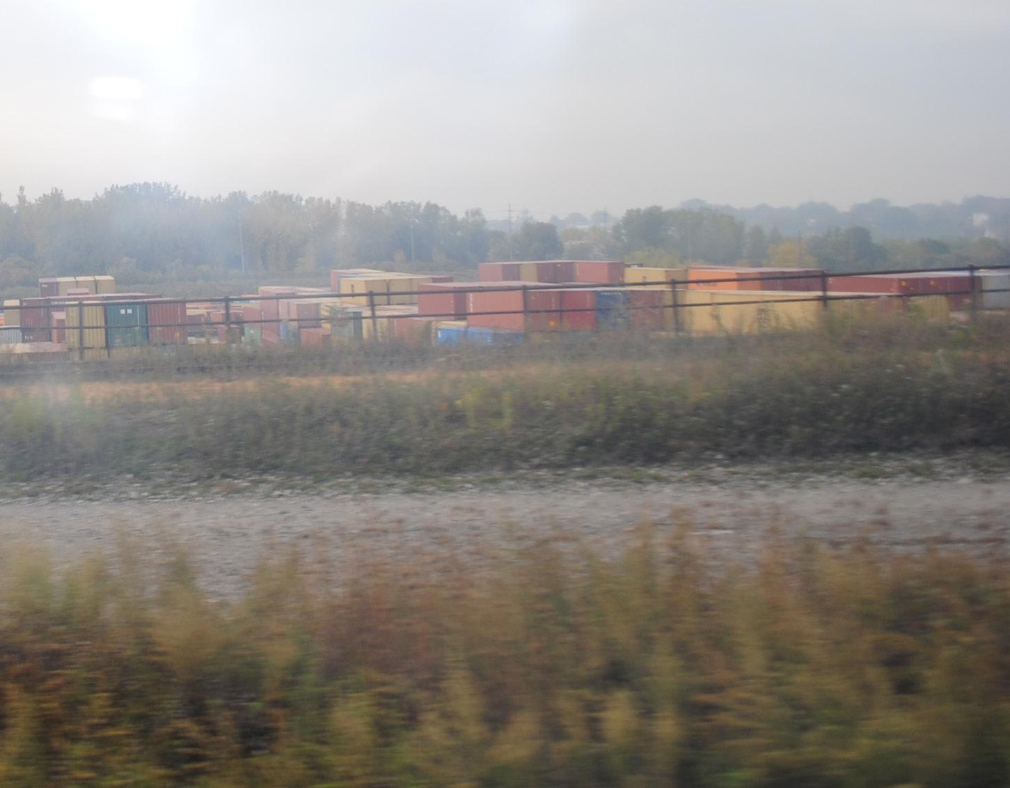
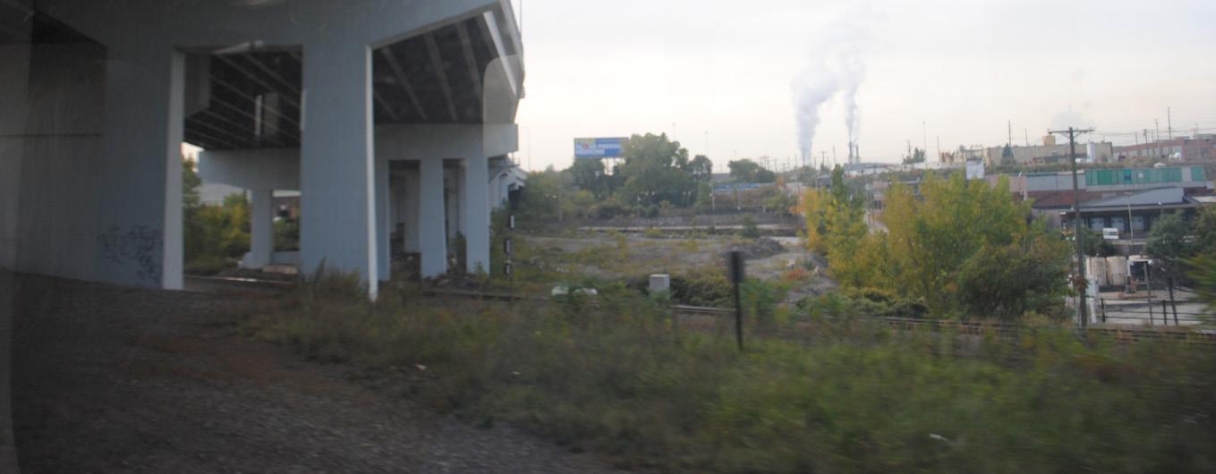
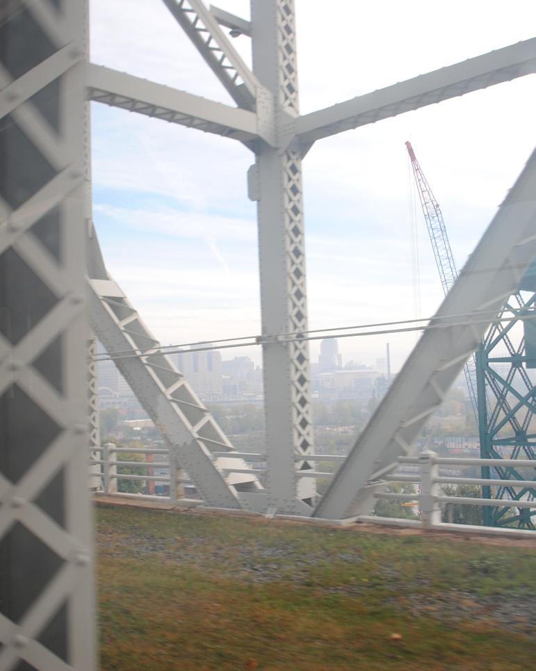
One reason the Red Line is able to have an exclusive rightof-way is that much of the route is in a trench that it shares with the rights-of-way of freight lines operated by the Norfolk Southern, CSX, and other railroads. This limits the line’s
utility but also exposes it visually to active components and historical remnants of Cleveland’s transportation and industrial infrastructure, much of which is sculpturally interesting.
In the 1920s, planning for what is now the Red Line began with the idea that it would function as a collector for the interurban lines that connected Cleveland to a network of smaller cities in the region, and construction began on various pieces of infrastructure toward the end of the decade. However, the undercapitalized interurbans were hobbled by the Depression and increasing competition from the automobile and began to disappear rapidly, rendering this purpose moot.
Later it was thought the Red Line could serve as a conduit for suburban streetcar lines headed for downtown Cleveland, but that purpose didn’t materialize as the streetcar systems were dismantled and replaced with buses. Ultimately the Red Line was built as a standalone transit line and began service in 1955 between Windermere and W. 117-Madison. Service was extended to the airport in 1968, making Cleveland the first North American city to have direct rail service to its airport.
RTA has been rebuilding the stations along the Red Line since the 1990s to modernize them and make them accessible to persons with disabilities. All but a few stations have been rebuilt as part of this process, and every rebuilt station includes a public art component.
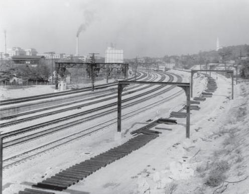
View of the construction of the Red Line east from Adelbert Road in 1930, 25 years before the Red Line would open. Image source: Cleveland Memory Project
Along the Red Line’s 19-mile path, there may be opportunities to integrate public art into other Red Line-oriented initiatives. One such initiative is the Red Line Greenway, a planned multipurpose trail that would run 2.1 miles along existing RTAcontrolled right-of-way, from near the W. 65-Lorain station to the western end of the Union Terminal Viaduct, just north of the W. 25-Ohio City station. At the greenway’s eastern trailhead, trail users will have access to a lookout on the edge of the viaduct and, below, to the Columbus Road Bridge and the Lake Link Trail. These connections would give trail users access to downtown, the Flats, and the lakefront.
Four of the priority sites identified in this plan are along or in view of the Red Line Greenway’s proposed alignment: the Columbus Peninsula rooftops and silos, Columbus Hill, the Abbey Avenue underpass, and the painted wall west of W. 25th St. Public artworks at these locations would benefit Red Line riders and trail users alike.
If the Red Line Greenway is successfully implemented, it is likely to lead to other similar initiatives that could also be tied into the Red Line’s public art collection.
Abbey Ave. Underpass (priority site 11) Columbus Hill (priority site 12) Columbus Peninsula rooftops and silos (priority site 13)
Information about priority sites starts on page 70 of the plan.
The geographic scope of LAND studio’s work in this report includes land adjacent to the 19-mile Red Line track, spanning Cleveland’s Bellaire Puritas, West Park, Ohio City, Flats, Downtown, Campus District, Hough, Buckeye, Fairfax, and University Circle neighborhoods and the municipalities of Cleveland, Brook Park, East Cleveland, and Lakewood.
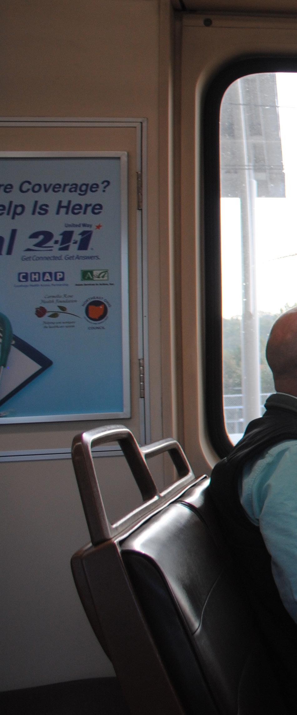
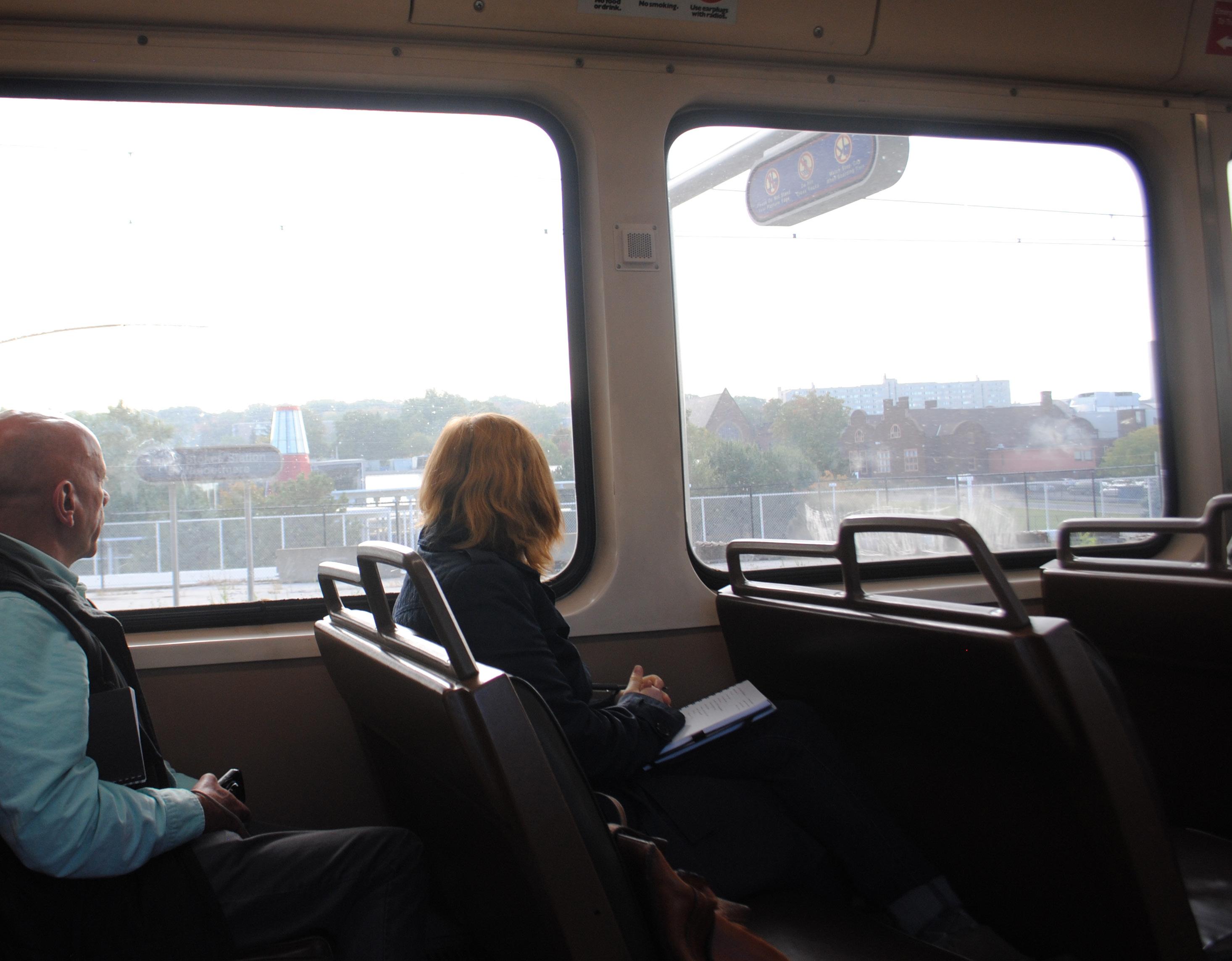
LAND studio studied the visual nuances and experience of a Red Line rider. Staff spent numerous hours on the transit line, taking pictures, talking to people, and experiencing the complete transit line from end-to-end, west to east and east to west.
This research was supplemented by feedback from Tracey Nichols, City of Cleveland’s Director of Economic Development and RTA’s Director of Planning, Maribeth Feke. Both provided insight related to the visioning and opportunities of a revitalized public transit experience. Ms. Nichols and Ms. Feke also shared context around the impetus for this work, helping LAND studio to ensure that this public art plan would be a valuable, implementable tool for the city, its residents, and visitors.
Base-map data was also gathered from Cuyahoga County GIS.
Vince and Tiffany from LAND studio on the Red Line studying the surrounding landscape.
Image source: LAND studio
With a comprehensive understanding of existing conditions surrounding the Red Line, LAND studio researched precedent transit-oriented public art programs that have relevance to Cleveland and its current and potential transit riders. These precedents offer various models for the structuring of a local public art plan that would support Cleveland’s aspirations.
The synthesis of these materials and LAND studio’s on-theground investigation inform the recommendations found in this report.
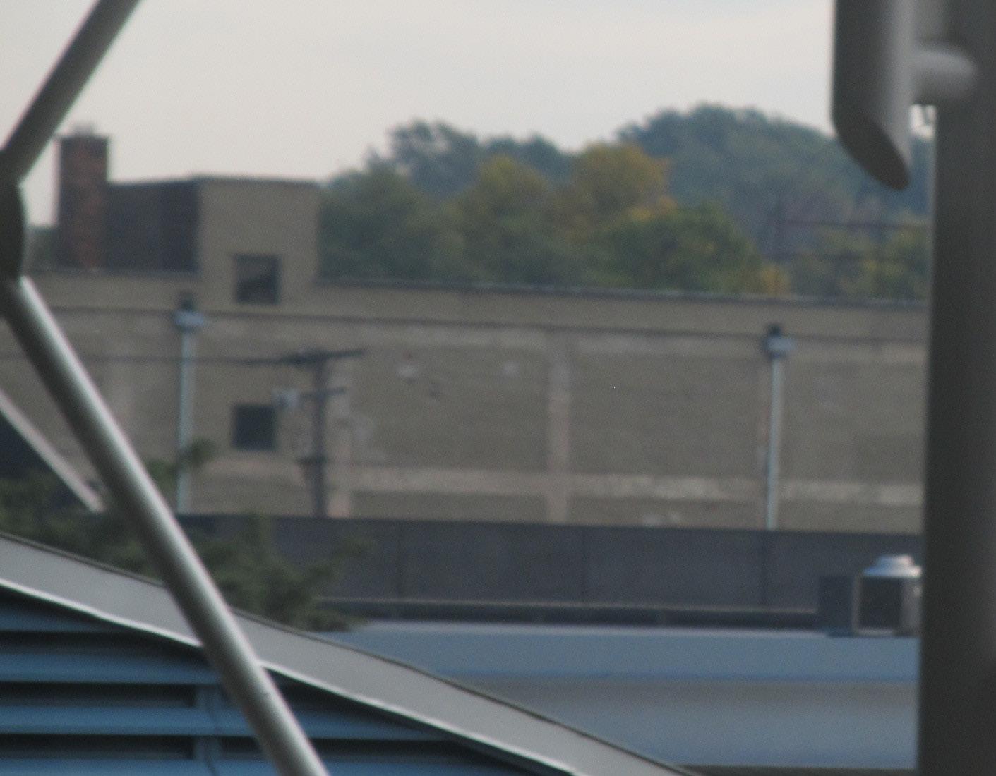
The visual experiences of Red Line riders vary according to where on the line they enter and exit the train. For this report, LAND studio divided the Red Line into seven character zones according to the varying landscapes viewable from the train and other distinguishing characteristics. The character zones are described here:
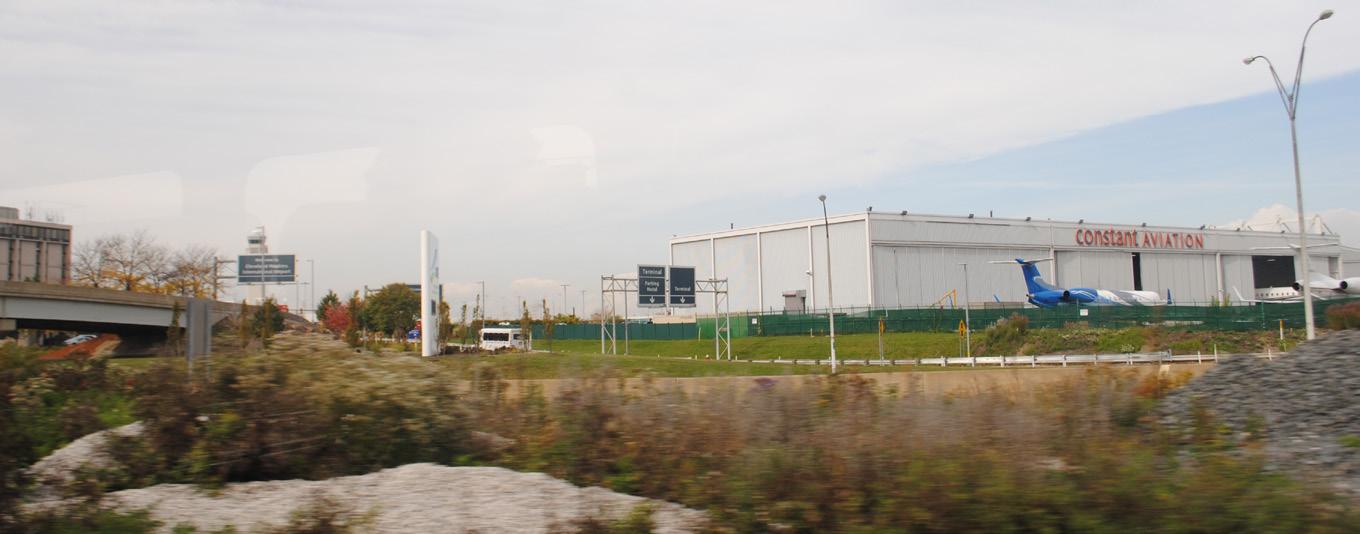
1. Airport and Vicinity, from Airport to Brookpark:
From this stretch, riders will observe a landscape typical in most ways of any medium-sized airport. Airport-related buildings and land uses—hotels, hangars, distribution facilities, etc.— predominate. The vast amount of land required to operate an airport and its ancillary facilities is illustrated in this section of the route. The giant Ford plant and other nearby manufacturing facilities demonstrate Cleveland’s continuing importance as a manufacturing center.
2. Postwar West, from Brookpark to W.117-Madison:
Beginning at Brookpark, eastbound riders enter neighborhoods that developed in large part during the postwar era. At the Puritas-W. 150 station, a neighborhood of well-kept postwar bungalows immediately adjoins the station’s grounds. Across the tracks, airport-related and other businesses are in evidence. All of the stations in this section - Brookpark, Puritas, West Park, Triskett, and W. 117-Madison - are park-and-ride facilities with connections to multiple bus lines. During rush hours, RTA provides additional service between Brookpark and Tower City.
3. Inner West, from W.117-Madison to W. 25-Ohio City:
The recently renovated W. 117-Madison Red Line station is the western end of the line’s route through the older neighborhoods of the west side. Industrial operations are more likely to consist of multi-story loft-type buildings than the more horizontal, onestory structures found farther west, and balloon-frame houses and older apartment buildings are more common in this area than postwar housing types. Station parking lots are smaller than those in the outer neighborhoods, and there is no station parking at all at the W. 25-Ohio City station.
Photos taken by LAND studio while riding on the Red Line.
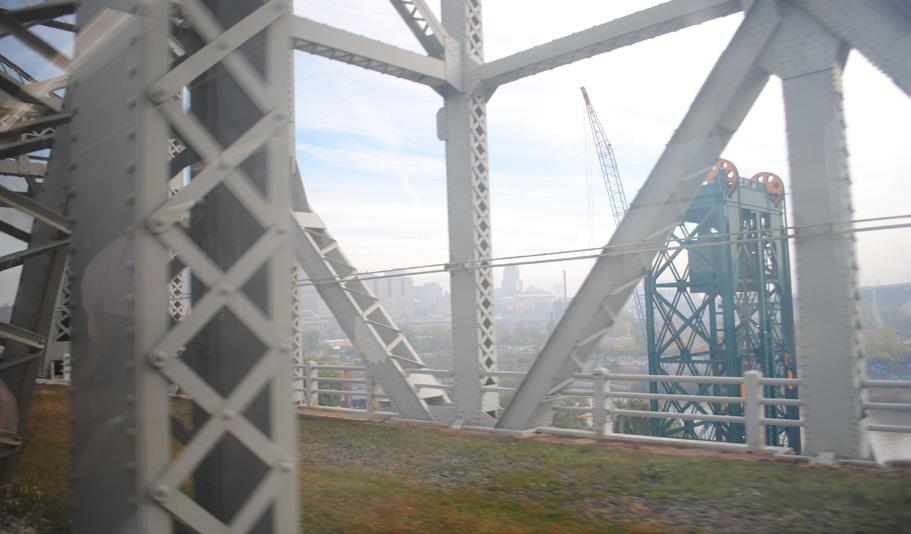
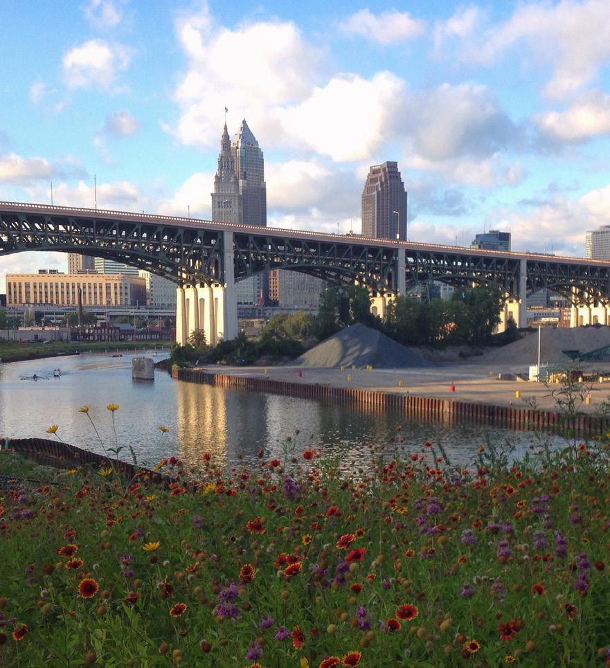
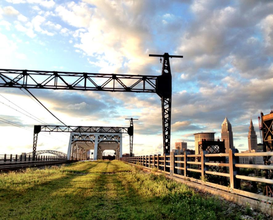
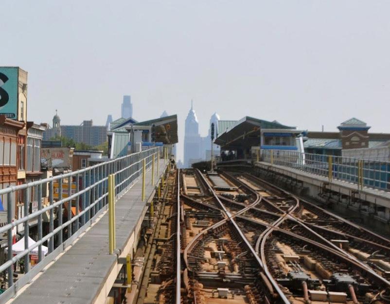
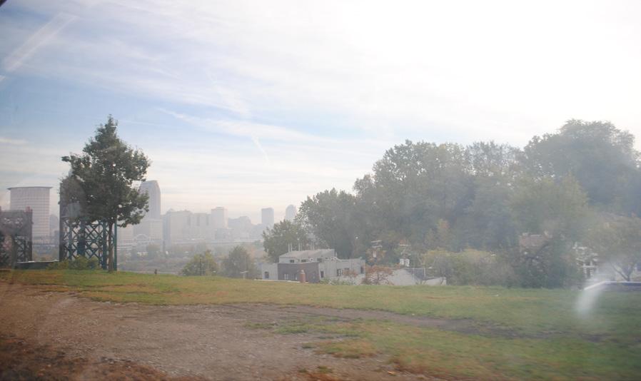
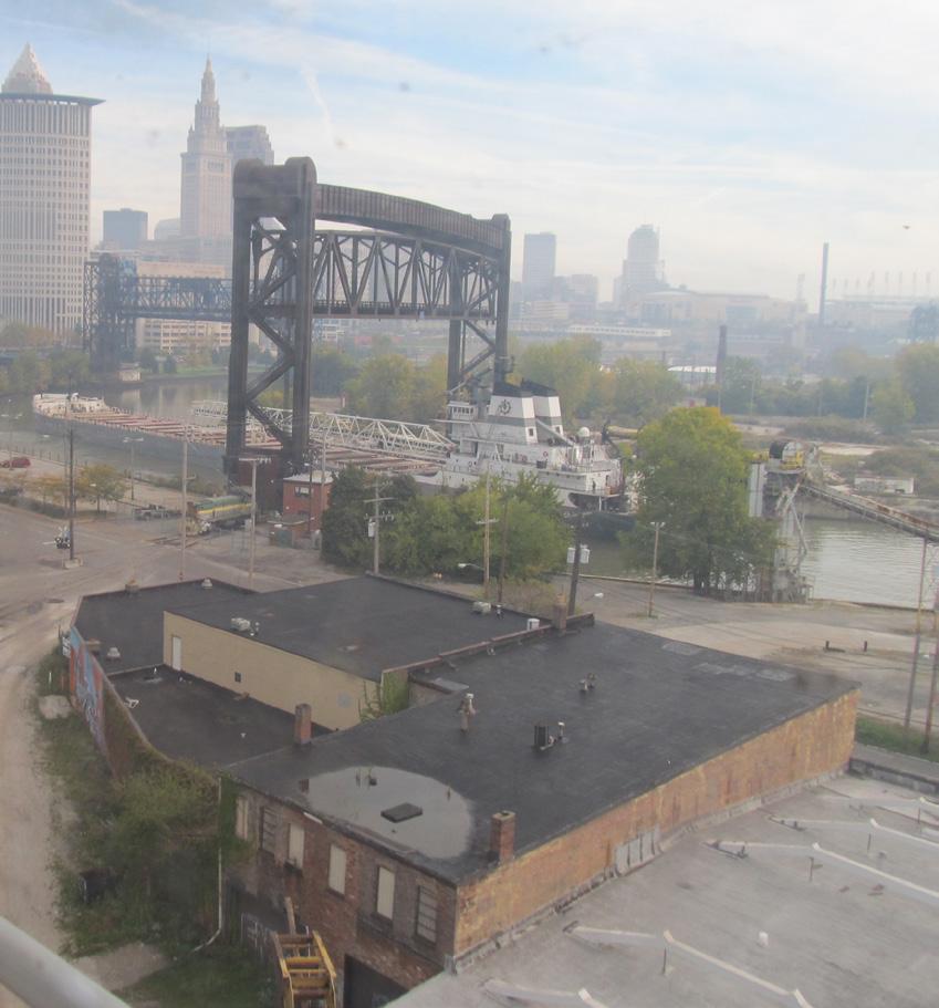
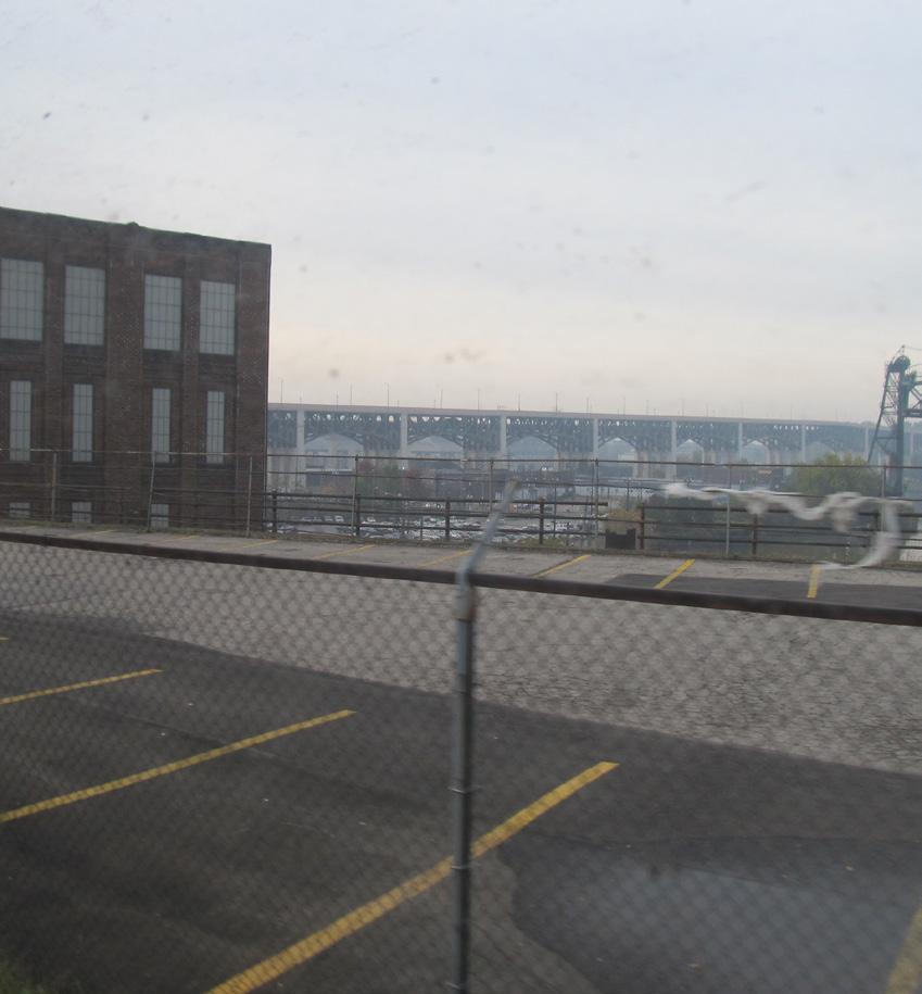
4. Union Terminal Viaduct, from W. 25-Ohio City to Tower City:
Soon after leaving the W. 25-Ohio City station, eastbound trains cross the Flats on the Union Terminal Viaduct. The viaduct’s sole purpose now is to carry the Red Line across the valley, though it was originally designed to carry intercity trains into the Union Terminal in what is today known as Tower City Center. The view from the viaduct showcases the city’s skyline, the industrial river valley, and views north toward Lake Erie. To the north, the view is dominated by bridges, with the magnificent Detroit-Superior Bridge in the foreground. At the viaduct’s eastern end, Red Line trains enter Tower City. The station in Tower City serves as the hub of RTA’s rail system, and, like the station at the airport, has the feel of a subway station.
5. Joint Territory, from Tower City-Public Square to E. 55:
From Tower City to E. 55, the Red Line shares its right-of-way with RTA’s light-rail (Blue and Green) lines. The character of this section of the route is similar to the Inner East and West sections, visually telling an evolving story of Cleveland as an industrial center and transportation hub. This stretch is more urban in that park-and-ride facilities are either very small (as at E. 55) or nonexistent (Tower City and E. 34-Campus). RTA’s Central Rail facility more or less surrounds the Red Line at E. 55 station.
6. Inner East, from E. 55 to Cedar-University:
From E. 55 eastward, the Red Line continues through a landscape of older industrial and transportation infrastructure before the eds-and-meds skyline of University Circle—distinct from downtown’s business-oriented look—appears to the north. The E. 79 station is one of the line’s few remaining vintage stations. Just before reaching the 105-Quincy station, the train passes the newly constructed Juvenile Justice Center. The recently rebuilt Cedar-University station is the easternmost likely to be visited by out-of-towners, though this will change with the opening in 2015 of the new station at Mayfield Road and E. 119th St.
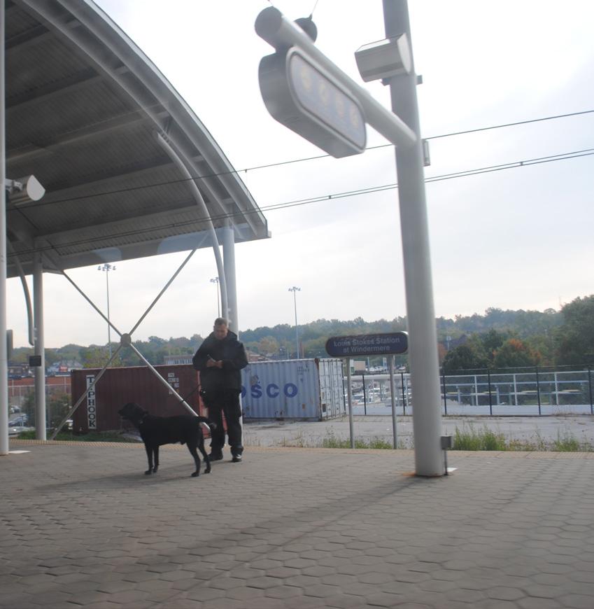
7. East End, from Cedar-University to Stokes-Windermere:
The stations of the Red Line’s East End—E. 120 and the two East Cleveland stations at Superior and Louis Stokes/Windermere— are used mostly by locals since visitors to the region are less likely to take the train east of University Circle. When the E. 120 station is replaced by the new station at Mayfield, this is likely to change, with only the two East Cleveland stations left outside the realm of most visitors. Both Superior and Windermere are modern stations with park-and-ride facilities. Windermere is a major hub in the RTA system with connections to a multitude of bus lines. Views from this elevated stretch are of Lake View Cemetery, the Cleveland Institute of Art, and the emergent Uptown commercial district.
Water Red Line Red Line station
Cleveland boundaries
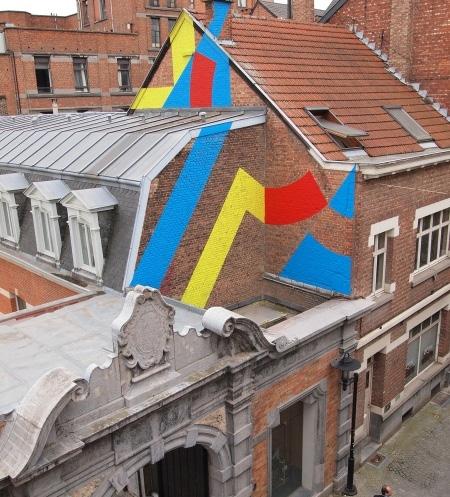
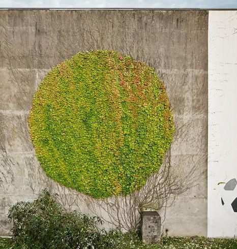
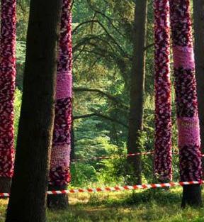
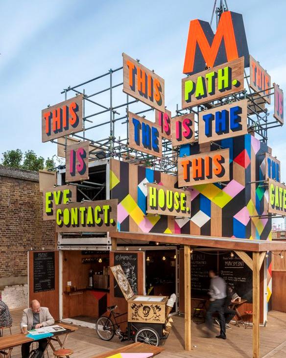
As the City of Cleveland transforms the Red Line from a transportation corridor into a major cultural asset, there are several projects from around the world from which to draw concepts, inspiration, and encouragement. The Red Line and its surrounding walls, urban wildernesses, historical structures, and adjacent neighborhoods make for a distinctive passageway through the city. In developing a public art plan, it is helpful to draw from a variety of approaches, especially in cities that use street art to capitalize on community assets and support tourism, transit systems that use art to draw attention and interest, and projects that bring art and culture to the public in uncommon ways.
The Red Line as linear art gallery can take a variety of forms. While the precedent projects presented here vary in geographic location, scale, and budget, they illustrate the unique ways communities have approached the creation of public art and linear art programs. For the purposes of this report, LAND studio studied regional, national, and international projects to present a wide range of ideas and strategies to support a local program.
Sources for precedent text and images start on page 157.
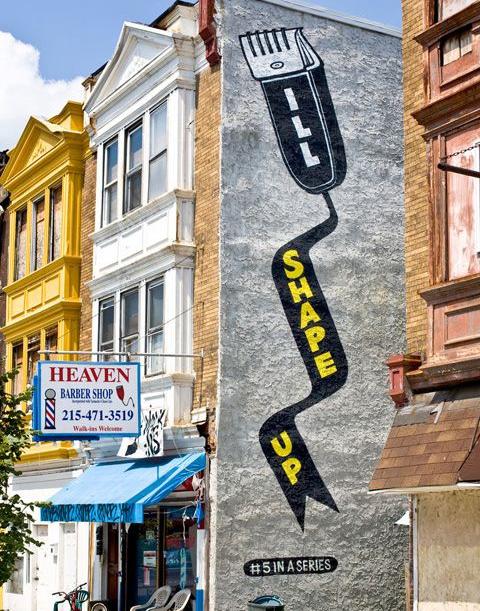
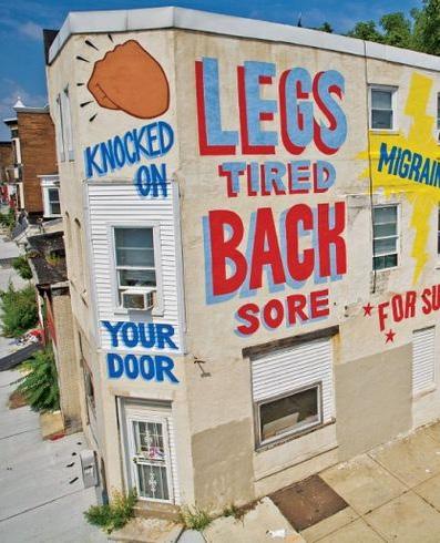
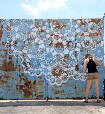
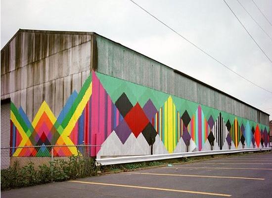
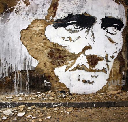
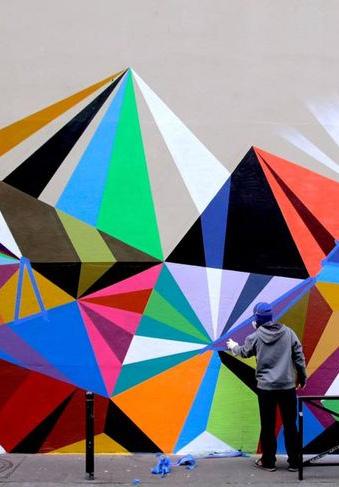
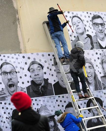
Love Letter is a series of 50 rooftop murals along 20 blocks of the Market St. corridor in Philadelphia, each depicting a love note. The murals can be viewed as a series while riding Philly’s Market-Frankford El. The murals were completed in partnership with Philadelphia’s Mural Arts Program, funded by a $260,000 grant from the Pew Center for Arts and Heritage.
Artist Steve Powers, a former graffiti writer from West Philadelphia, sees the project as an opportunity to reclaim urban spaces and rooftops while reexamining the role of street art in a community. The established public artist worked with a team of over 40 neighborhood residents to complete 35 of the murals in just three weeks (through the mural program, a single mural usually takes up to 3 months). Some murals also highlight surrounding local businesses. For example, in one piece, the text “I’LL SHAPE UP” reads across an electric razor. The mural is on a local barber shop’s building.
The project has received national and international attention. Powers now works on different versions of the project and other largescale murals in cities around the country.
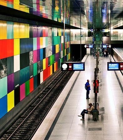
Like the Greater Cleveland Regional Transit Authority, New York City’s Metropolitan Transportation Authority (MTA), sets aside one percent of the capital budget of every new station or renovation for public art. The MTA Arts and Design program began in 1985. The collection currently contains over 250 permanent artworks joining the subway system, Long Island Rail Road, and Metro-North Railroad. The program boasts a wide range of public art, including pieces by famous artists like Roy Lichtenstein and Sol LeWitt, and complements the collection with its photography, graphic art, poetry, performance, and music programs.
In 2012 the MTA launched a subway art app for the iPhone and Android. MTA Chairman Joseph J. Lhota explained that the app helps users “…recognize that New York’s transportation system, besides helping 8.5 million people get to work every day, is a world-class art museum with works by many of the most renowned artists of the 20th and 21st centuries.” The app showcases over 200 works of art that are within the transit system. The app includes photos, background information, and artwork locations.
CityLeaks is a month-long biannual urban art festival in Cologne, Germany, founded in 2011. It was started as way to reach all citizens of Cologne with free, democratic public art and to promote street art as a contemporary art form. The festival includes large-scale murals, pasteups, and installations in public spaces.
The 2011 festival included over 40 international and local artists. The curatorial team focused on the emerging Latin American urban art scene, and invited well-known artists from Chile, Brazil, Mexico, and Argentina were invited to participate. In 2013, the festival expanded to include over 55 artists. Sculptures, performances, and other collaborations resulted in an “Interacting Day” that included tours, artist talks, and workshops. In the surrounding district, galleries and businesses supported the festival with art exhibitions and performances.
While the artists paint free of charge, they choose what they want to paint with no guidance from CityLeaks or those who donate walls. CityLeaks organizes shared accommodation and meals for the artists to provide opportunities for collaboration and inspiration.
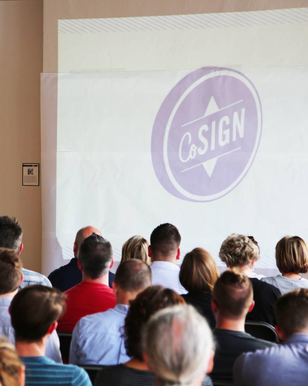
CoSIGN is a project that joins artists, sign makers, and businesses to produce a series of unique storefront signs along business corridors in Greater Cincinnati neighborhoods. Although the context of this work is different, the Red Line transportation corridor as a front door to businesses and pursuing artful signage could be a valuable approach.
To gain the support of the target neighborhood’s business community, CoSIGN hosts community meetings and invites local businesses, artists, and fabricators to participate in “Good Signage 101” workshops. Artists then submit designs for participating businesses and the business owners each select a winning design. Working in the Northside neighborhood of Cincinnati in its first two years, CoSIGN coordinated with the City of Cincinnati to gain the support of the zoning commission and permission for specifications that expedited permits. In just six months, the program was initiated, artists submitted and refined concepts, and local sign makers fabricated and installed signs. The completion of the first year’s work coincided with a street festival celebration. The success of the program resulted in an expansion of the program across the Ohio River to Covington, Kentucky, in the fall 2014.
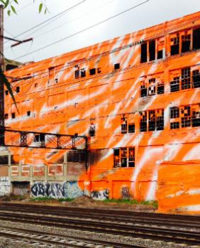
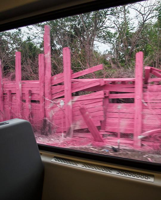
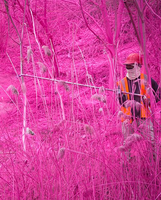
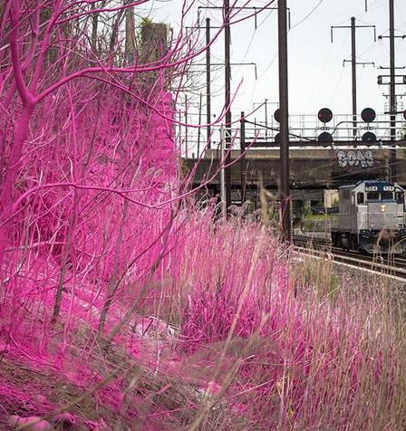
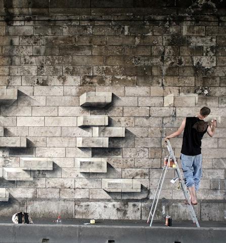
As part of the City of Philadelphia Mural Arts Program, Berlin-based artist Katharina Grosse installed seven enormous artworks along a five-mile section of a railroad corridor. Jane Golden, the executive director of the Mural Arts Program, said they “…wanted to create a choreographed experience that moved viewers through time and space. We wanted to illuminate the rubble, the wild eruptions of nature, and we wanted to highlight the contradictions of decay... and rebirth in this strange setting.”
With assistance from her team, the artist created immense pink, green, and orange color passages by spray painting sealant-free house paint on decaying structures, walls, debris, and wild foliage. The works are temporary; the paint will gradually wear off.
The artist also created an audio guide to the work that offers riders an interpretation by a Philadelphia-based sound artist, recorded interviews, and information about the history of the corridor. The audio guide is available by phone and is meant to be listened to in real time while users experience the works.
The Dequindre Cut Greenway is a 1.35mile urban recreational path in Detroit. The below-level 20-foot-wide paved path is on the site of the former Grand Trunk Railroad line and links the Riverfront, Eastern Market, and neighborhoods in-between. The City of Detroit received a $10 million TIGER Grant to expand the Dequindre Cut by seven miles to connect Detroit’s Midtown Loop, Detroit Institute of Arts, Amtrak station, and other city amenities.
Originally, the abandoned rail corridor was known for illegal activity and its graffiti-covered surfaces concerned the public. Instead of trying to prevent graffiti, the project turned urban art into a public asset. Since the greenway’s opening in 2009, it has become known for its street art, and its painted walls are an attraction for local residents and visitors. The Dequindre Cut regularly hosts graffiti weekends where artists are invited to paint on the walls, bridges, and infrastructure. Today, the diverse and growing collection includes over 35 murals painted by both local and international artists.
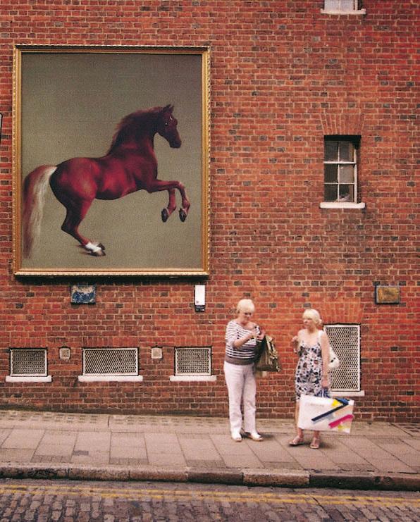
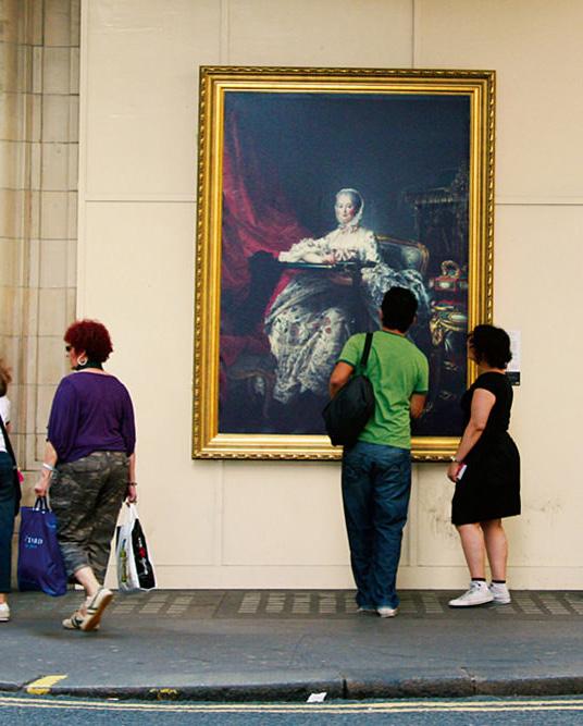
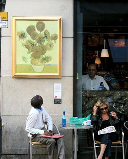
The National Gallery in London partnered with the creative agency The Partners to promote the gallery’s collection of over 2,300 paintings in the public realm. Instead of trying to bring more people into the museum, they brought their permanent collection to the streets of London. In the summer of 2007, life-size replicas of 45 paintings were displayed in public spaces. Each was ornately framed and presented alongside an informational plaque evoking a true gallery experience for pedestrians. The city became a colossal art gallery, free for all to explore.
The public could participate in guided tours or visit the paintings themselves, using free downloadable interactive maps and audio guides. Grand tours visited all 45 paintings and smaller tours visited subgroups of paintings that were divided by theme or location. For example, the “Lovers’ Tour” visited love-and romance-themed paintings and “Lunchtime Tours” were short, one-hour tours to fit within a worker’s lunch break. More than 28,000 tour maps were picked up from the gallery itself and over 24,000 were downloaded free from the website.
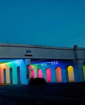
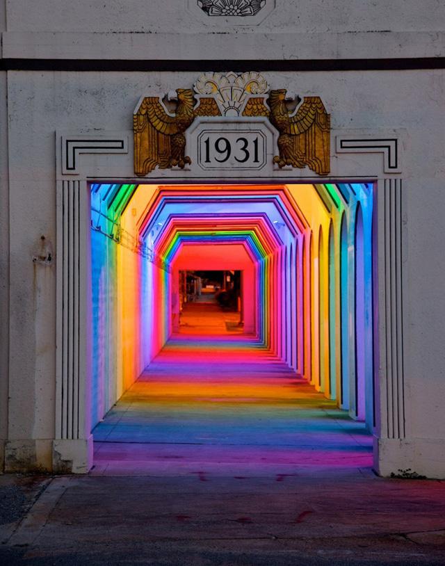
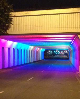
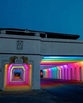
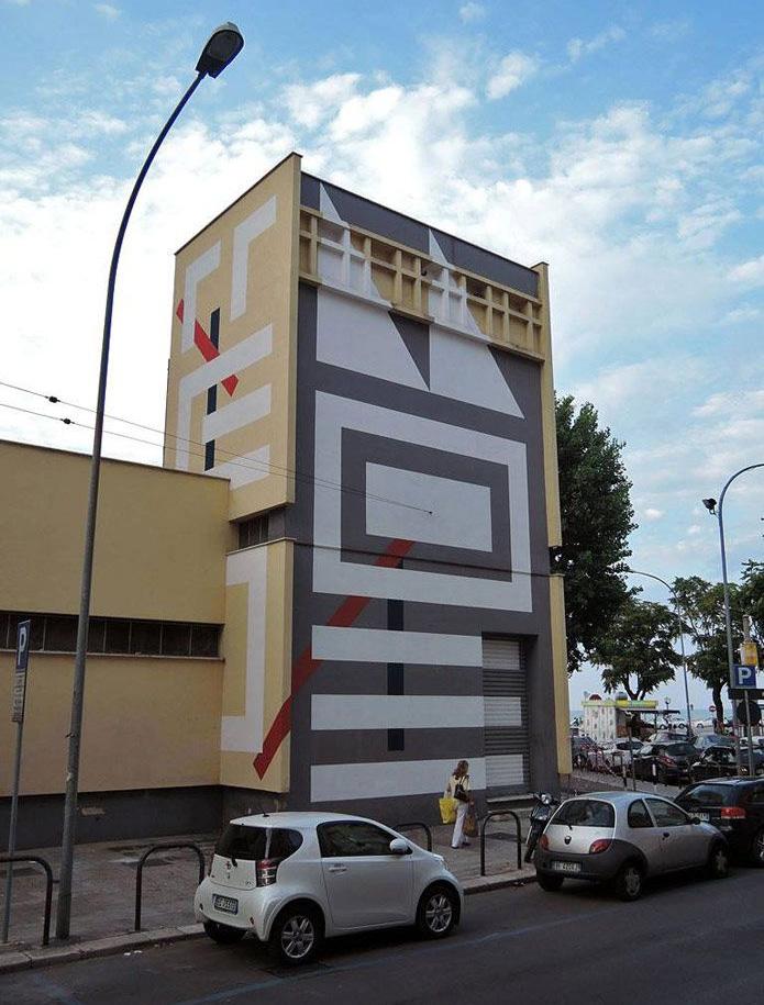
Artist Bill FitzGibbons created a light installation for the 18th St. underpass in Birmingham, Alabama, that transformed an uninviting, dark environment into a rainbow-lit tunnel. The artist used thousands of programmable LED lights of varying colors and speed to allow the creation of a variety of moods and environments. The installation’s patterns enhance the bridge’s Art Deco arches and foster a safer space for cyclists and pedestrians.
The artwork was commissioned by REV Birmingham, the city’s economic development organization, and is intended to encourage pedestrian traffic between two major areas of the city, First Avenue North and the East Gate of Railroad Park.
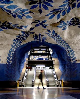
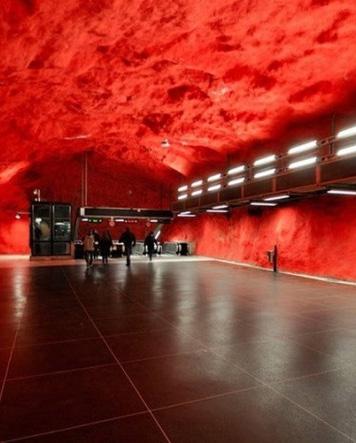
The Stockholm Metro is said to be the longest art gallery in the world. Over 90 of its 100 metro stations host a variety of artworks by over 150 artists. Paintings, sculptures, mosaics, and other installations can be found in the stations because of the city’s public art and transit tradition that started over 60 years ago.
Art is used to make the stations more beautiful and safe and create a variety of unique environments. Each station has a unique theme. For example the Kungsträdgården station looks like an archaeological excavation, while the Solna Centrum station has a bright red ceiling and walls painted with a one-kilometer-long spruce forest. The Metro offers guided tours of the stations for locals and tourists interested in learning more about the enormous and varied underground art gallery.
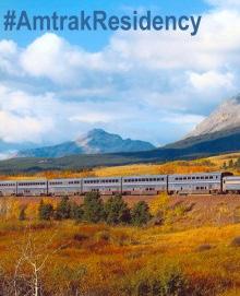

The Amtrak Residency is the first train-based authors’ residency program that allows writers to develop their abilities and produce new works while traveling on a long-distance train. In 2014, the first year of the program, Amtrak received more than 16,000 applications, and 24 writers were selected to participate. The group includes journalists and other nonfiction writers, poets, novelists, playwrights, and comedians. Over the course of the year, about two residents per month are provided a complementary ticket that includes a private sleeping room and onboard meals for one longdistance trip.
The program has brought a lot of attention to Amtrak, especially through social media. The hashtag #AmtrakResidency started trending, and participating writers have brought even more attention to the program with blog posts and their own social media presence.
While riding the Red Line, it is apparent that this stretch of infrastructure embodies many of the characteristics that are consistent with the City of Cleveland’s history and profile. The land around the train track tells many of the city’s stories, including its connection between nature and industry, its division between wealth and poverty, and its architectural history. To create a cohesive 19-mile-long gallery that also connects to the neighborhoods it runs through, LAND studio proposes a set of themes to inspire future artwork.
Building an art collection over time that ties to themes which derive from the route itself will foster connectivity among artworks. For an art gallery along the Red Line, it will be important to develop a strong point of view and one that does not rely on clichés. To this end, a series of themes that are emblematic of the Red Line are suggested.
Source for all theme section images: LAND studio.
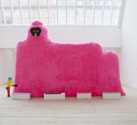
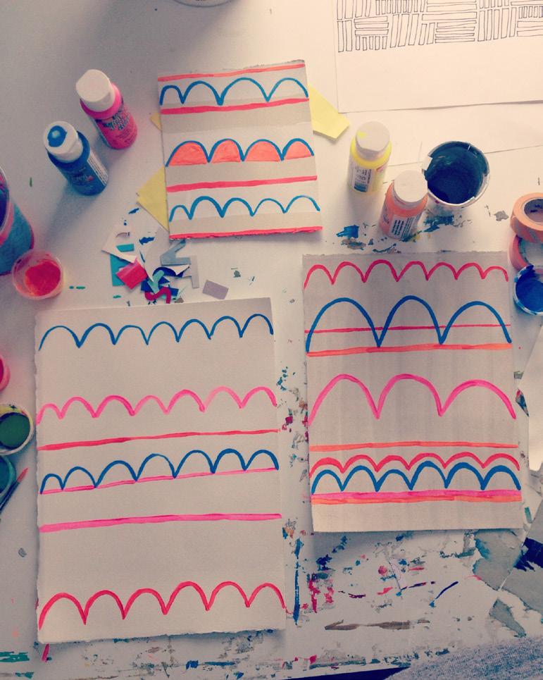
Like any transit route, the Red Line is one that is experienced in motion. Artwork along this corridor should be designed to reflect that people will not have the opportunity to look at works up close the way they would in a museum or gallery setting. Additionally, because so many riders are daily users of the transit line, artworks should allow for something new to be discovered over time, or in different lighting, changing seasons and weather, and by riders who may be facing different directions. The artworks, unlike billboards, do not need to be viewed in their entirety on the first observation and should not be overly detailed in a way that would limit appreciation by viewers who may only have a couple of seconds in which to see them.
This in-motion experience also allows for some creative risks to be taken. Artworks could present as flip books, for example, and other pieces could appear animated based on how they are experienced by riders. Because the viewer is usually moving and the outdoor environment changes seasonally, this transit experience should be dynamic.
For many residents of Cleveland and visitors from other places, the Red Line serves as a front door to the city. From the airport to downtown, the Red Line corridor is the first impression that visitors to Cleveland experience. Because the corridor runs through a gorge that abuts the backs of buildings, it can feel like one is taking a neglected backyard trail from station to station. This corridor should be reconsidered as a front door, a welcome mat to Cleveland instead of a hidden entryway.
Equally important, for thousands of daily riders, the Red Line is a primary transportation route upon which daily life is conducted. For Cleveland residents, improving the visual landscape of this route can be as important and beneficial as investing in streetscape improvements. Each year, several major streetscaping initiatives are undertaken within the city, all with the explicit goal of improving quality of life, safety, and economic opportunities. It would be a bold statement for the City to transfer that same idea to the improvement of other major transportation corridors, such as the Red Line. By adopting this front-door approach, businesses along the Red Line can benefit from improvements and riders will feel more connected to the community.
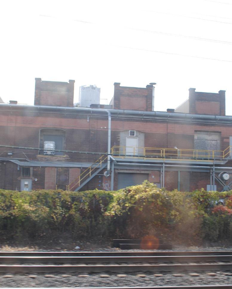
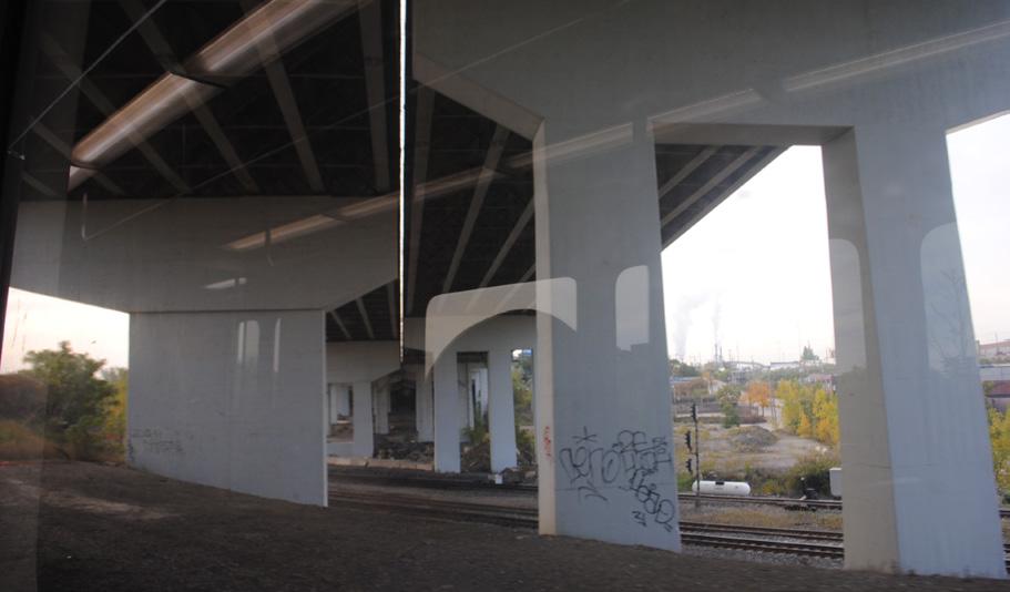
Because the Red Line is in a rail corridor that’s been in use for more than a century, the corridor is lined with unique architectural details. These include ornate retaining walls and bridge abutments, architecturally interesting columns and towers beneath bridge overpasses, and the platforms at each station. These features punctuate much of the visual landscape along the Red Line. While they currently create interesting moments standing alone, they have the potential to serve as canvases for artwork.
As with many of the historical artifacts along the corridor (discussed in the following theme), these architectural details and existing sculptural elements should be celebrated. For imaginative riders, the Red Line corridor evokes similar feelings as the industrial waterfront along the Flats. The ride boasts many interesting features in the existing infrastructure and by calling more attention to these locations through artwork or lighting treatments, these assets can be highlighted and enjoyed through a new lens.
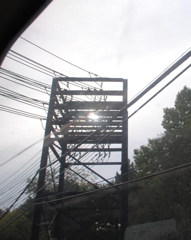
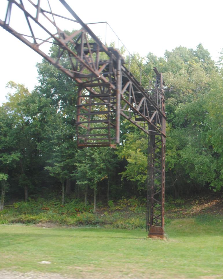
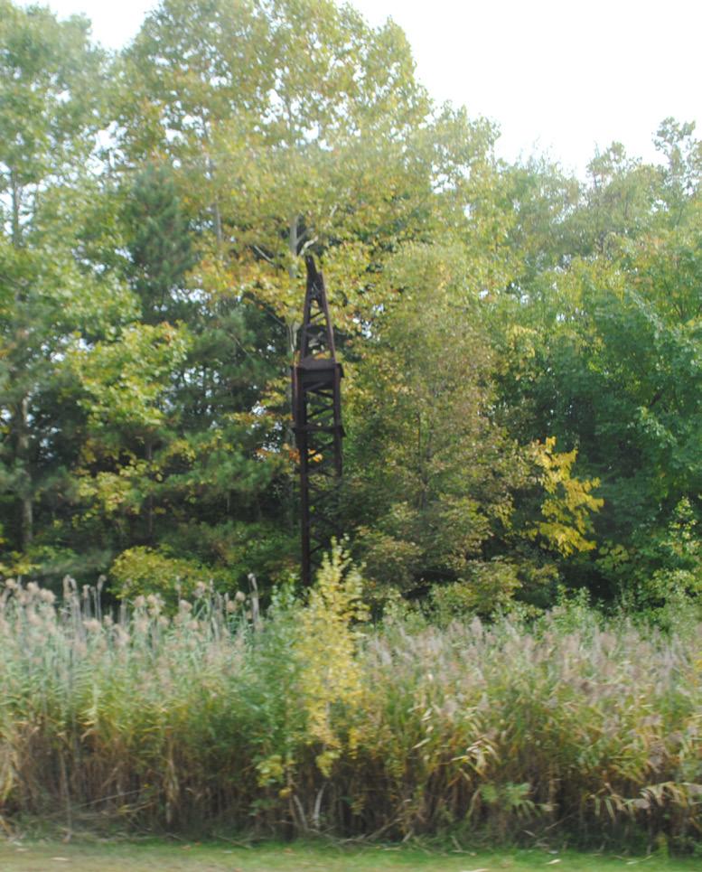
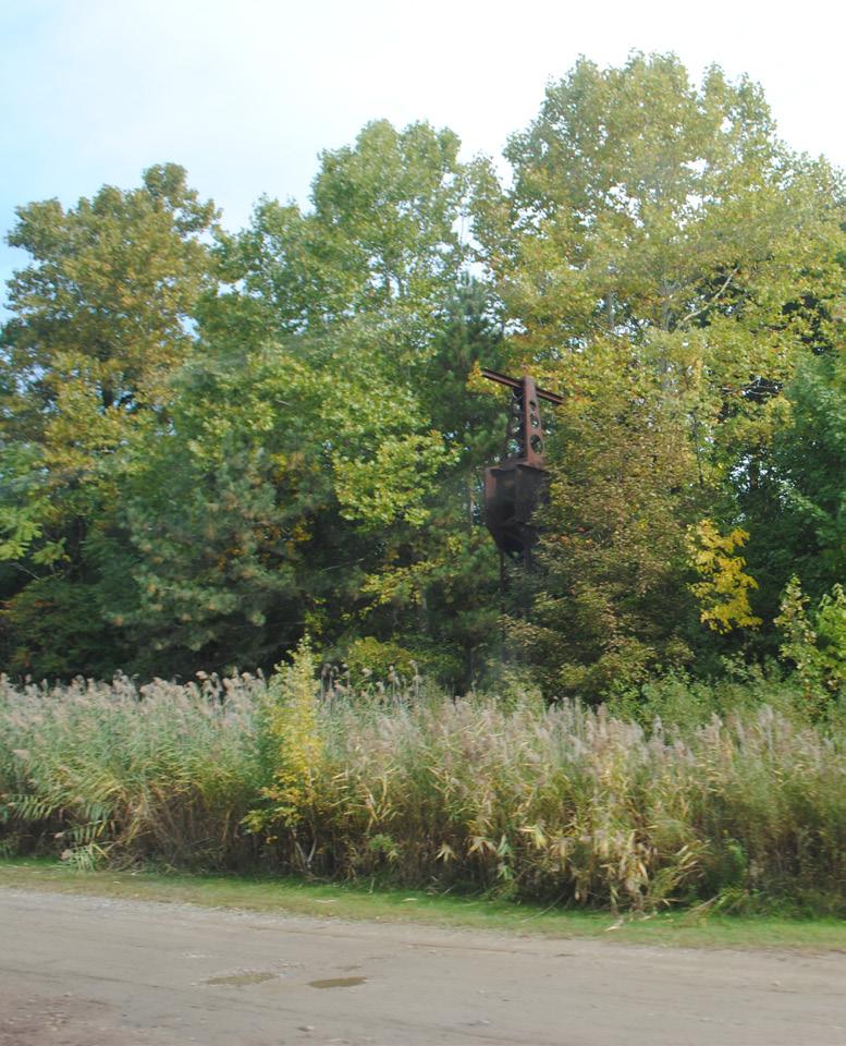
As with the preceding theme, this theme focuses on shaping a new perspective for many of the abandoned structures along the Red Line. These objects, which include obsolete catenary structures, utility poles, utility boxes, small buildings, and smokestacks, form an interesting landscape along which travel takes place. While the importance of creating new artworks is important to the success of this project, the story of the existing landscape should be woven into the overall construct of this gallery. Reframing these artifacts as antique sculptures rather than leftover infrastructure can be a means of embracing the Red Line’s surroundings. This historical framework sets the tone for the rider’s experience. New works should complement, not compete with, rail artifacts.
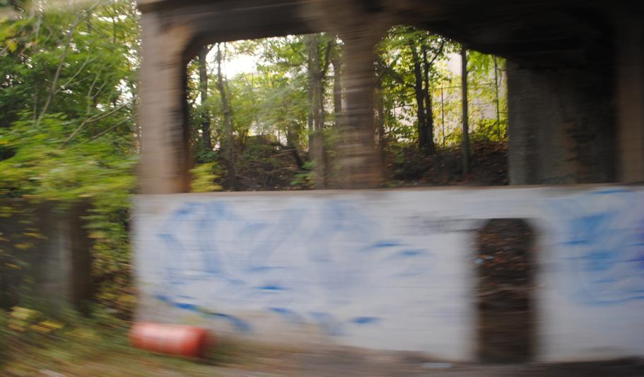
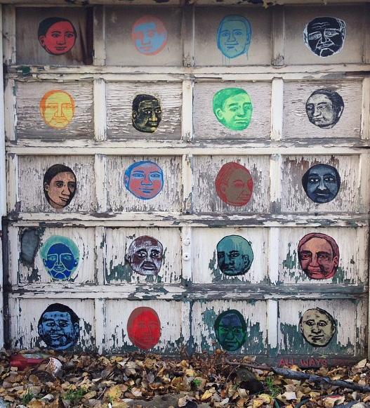
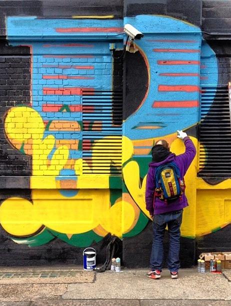
In addition, graffiti artists have utilized the corridor for decades, recognizing the potential for an audience to see their works while in transit. Graffiti should be included among new projects as a way of integrating street art into the collection and providing an outlet for the energy of these artists.
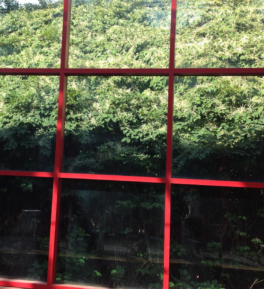
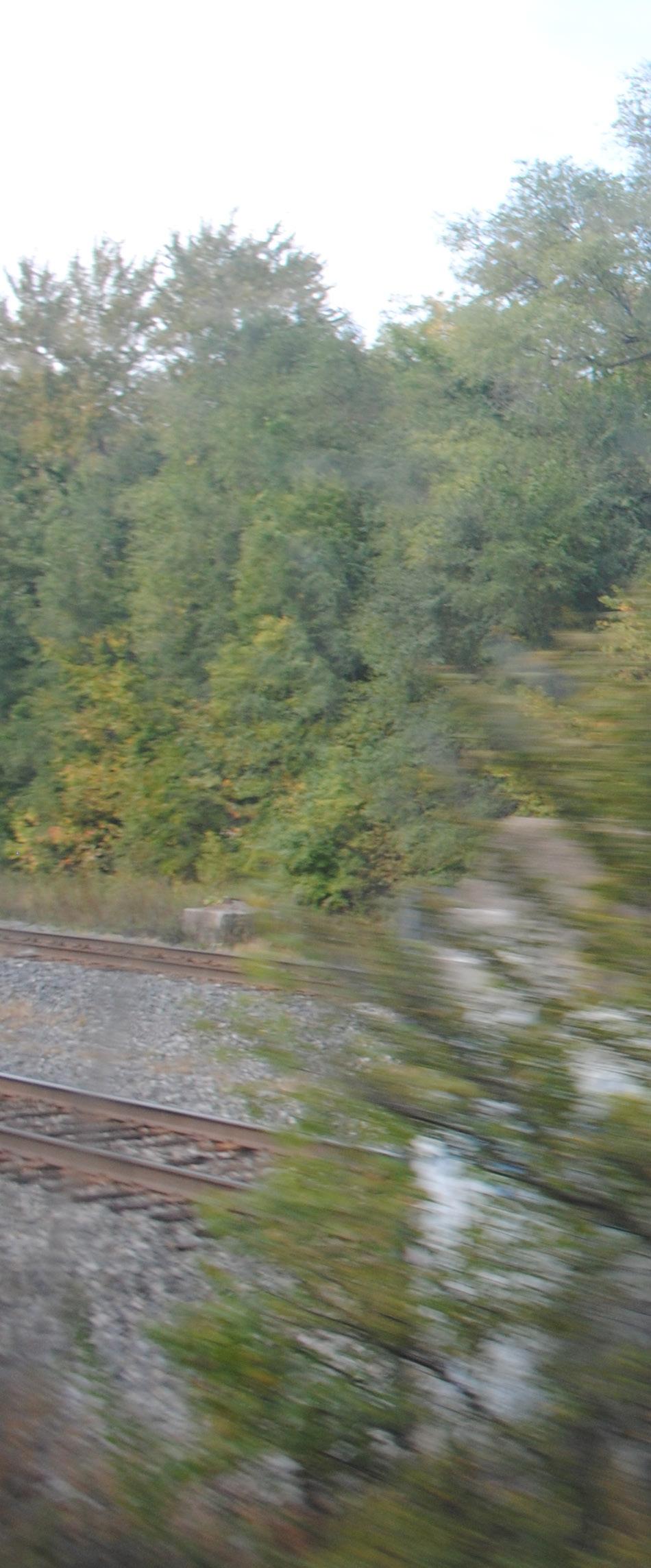
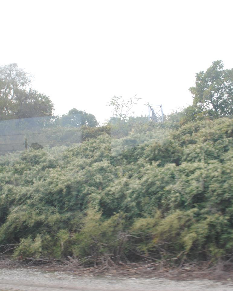
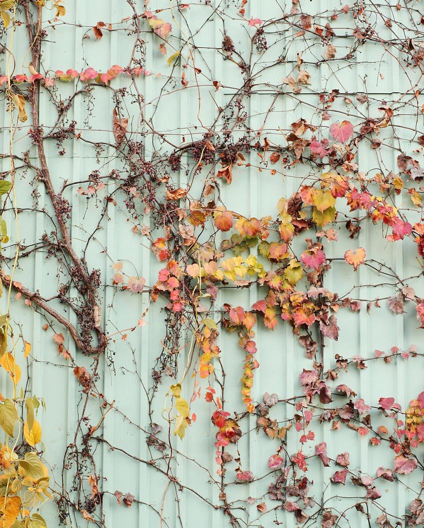
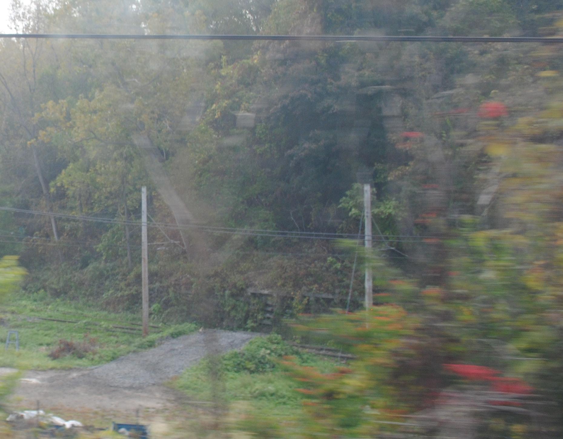
Along the Red Line, there are many areas in which nature is reclaiming its place. There are catenary structures with vines climbing them, wildlife visible from several platforms, particularly the W. 25-Ohio City Station, the vista views of the industrial Flats and the Cuyahoga River, and trees, flowers, weeds, and birds visible even in the most built-up sections of the track. There is a strong opportunity to emphasize this connection between the built environment and the wilderness growing in between. While some brush removal is necessary along the corridor, there are also locations where the greenery provides color, a sound barrier, and attractive views.
By making peace with —and even embracing— the fusion and tension between nature and the city, the corridor can become an art gallery that is rooted in a gritty, yet pastoral setting. Fields of wildflowers can be planted in some areas, which would add a strong visual impact for a small price, while artwork can be created to reflect the natural and built surroundings in interesting ways.

The Red Line runs through several different neighborhoods in Cleveland, along with the cities of Lakewood, East Cleveland, and Brook Park. The unique character of each of these places should be reflected in the artwork that is created along the tracks. Providing opportunities for artists to have direct engagement with members of the surrounding communities can have a profound impact on the connection that resident riders feel to the transit line. Additionally, it will provide visitors with a glimpse of the communities that they pass through, reminding them that Cleveland is full of interesting people and places that aren’t always included in a traditional visitors’ map.
This storytelling theme would change along the corridor, incorporating the cultural, health, and educational institutions of University Circle, the industrial heritage of the Flats, the artisan flavor of Ohio City, and the artistic ambition and heritage of Detroit Shoreway and Fairfax. By seeing themselves reflected in this welltraveled route, residents and workers in these neighborhoods can develop a stronger sense of pride in their community.
The Red Line Public Art Plan identifies and discusses many specific sites where artwork could be installed along the Red Line, but it is infeasible to address every possible site. This section of the plan identifies different kinds of art sites and suggests ways these sites can be approached in general.
There is some overlap between the categories. For example, what was once a bridge abutment may become a retaining wall after a bridge is removed. A specific example of overlap between categories is a wall of Case Western University’s think [box], which faces passengers waiting on the platform at Cedar-University station.
Types of possible art sites that are discussed in the plan are:
• Retaining walls
• Walls of buildings
• Rooftops
• Stations and station areas
• Bridges
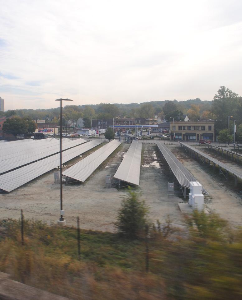
• Parking lots
• Open areas
• Urban wilds
• Utility Boxes
In this section, all current condition photos were taken by LAND studio and precedent image sources start on page 157.
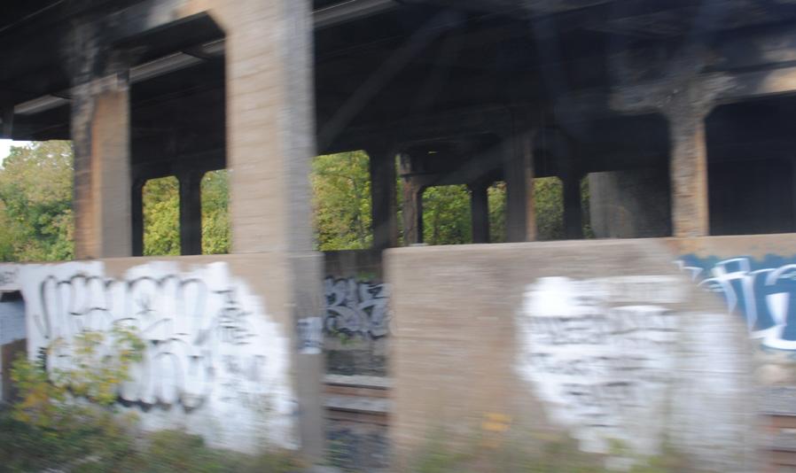
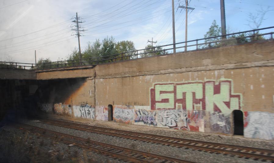
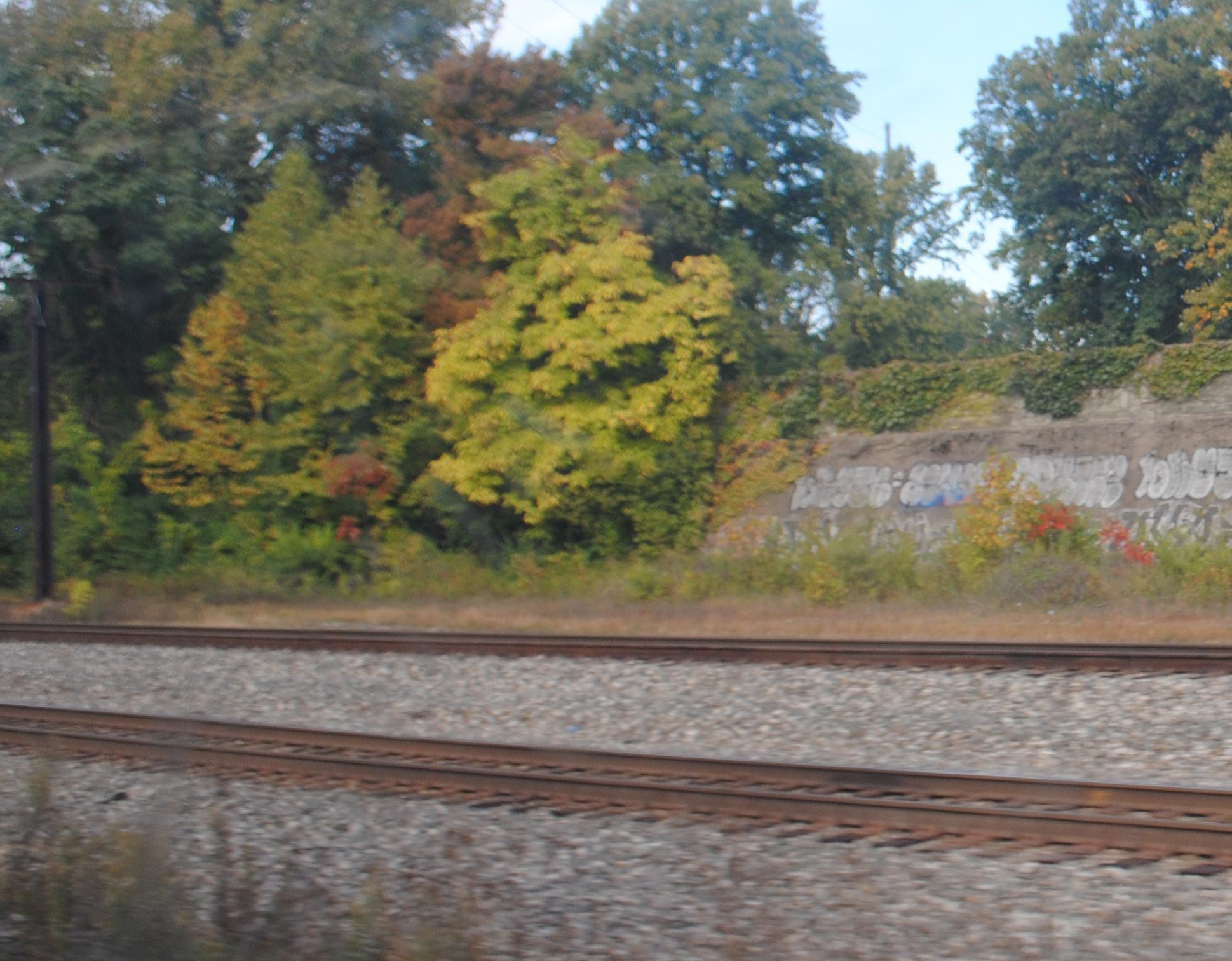
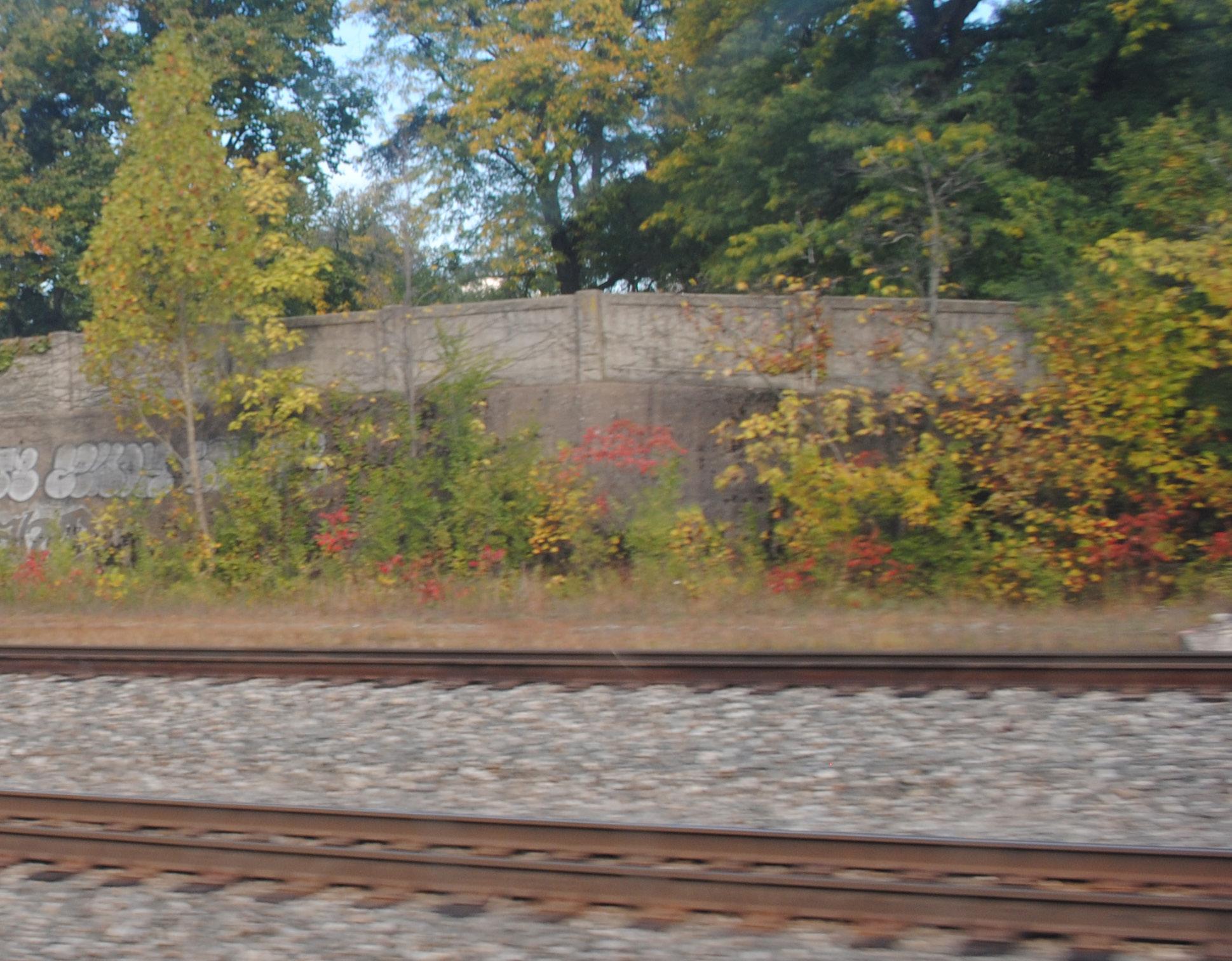
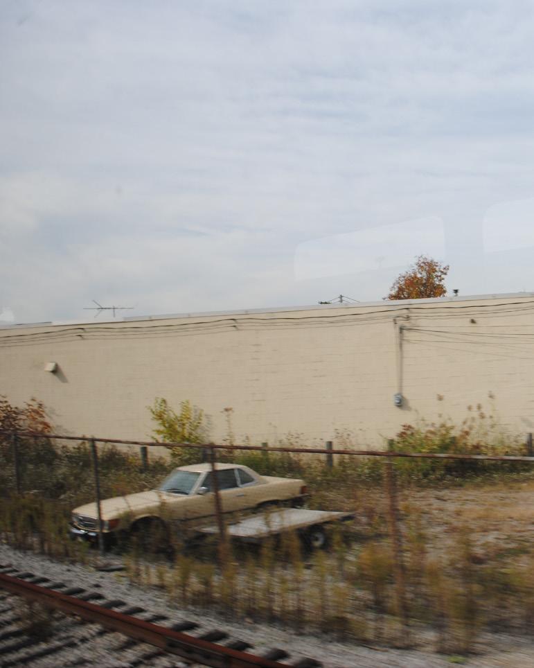
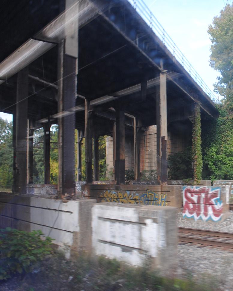
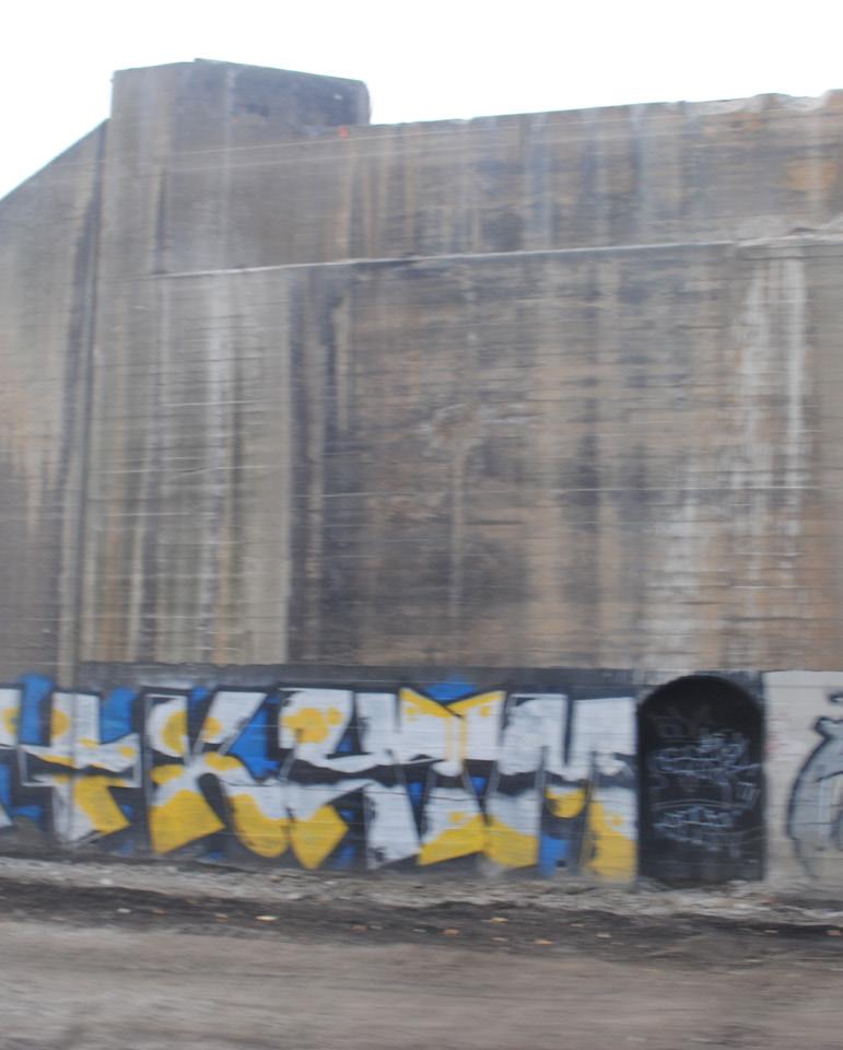
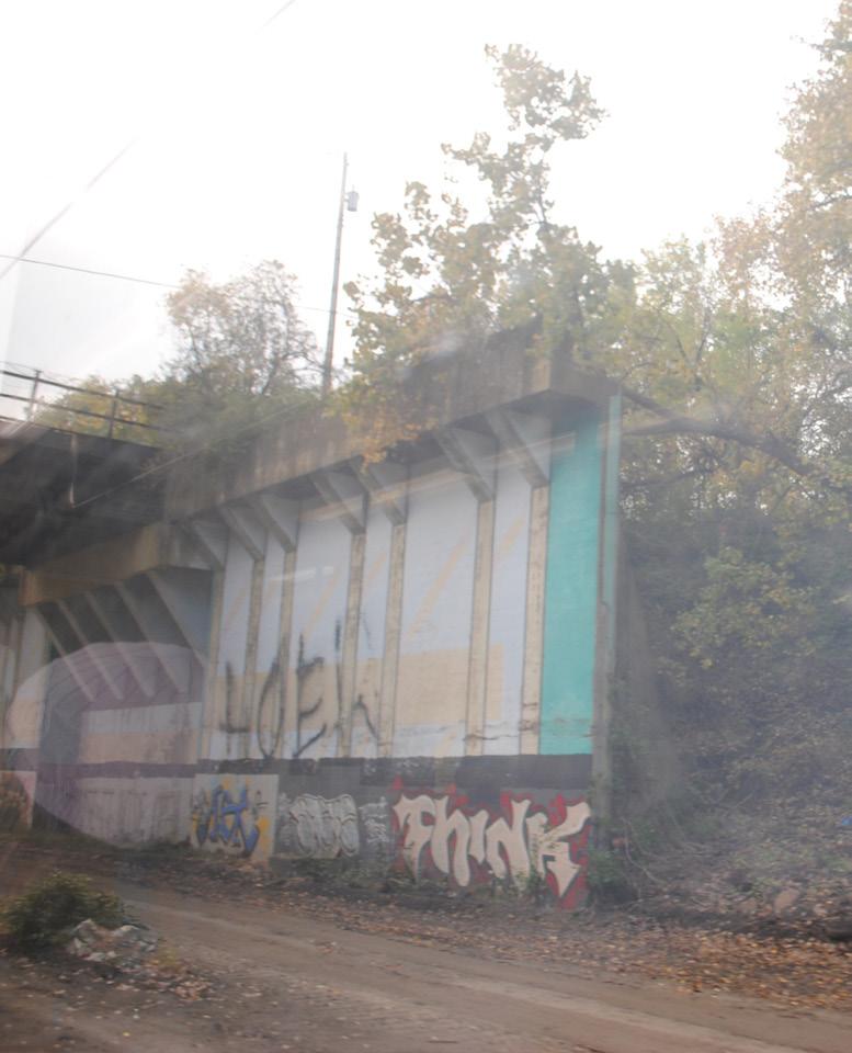
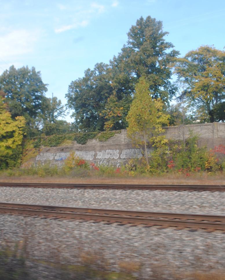
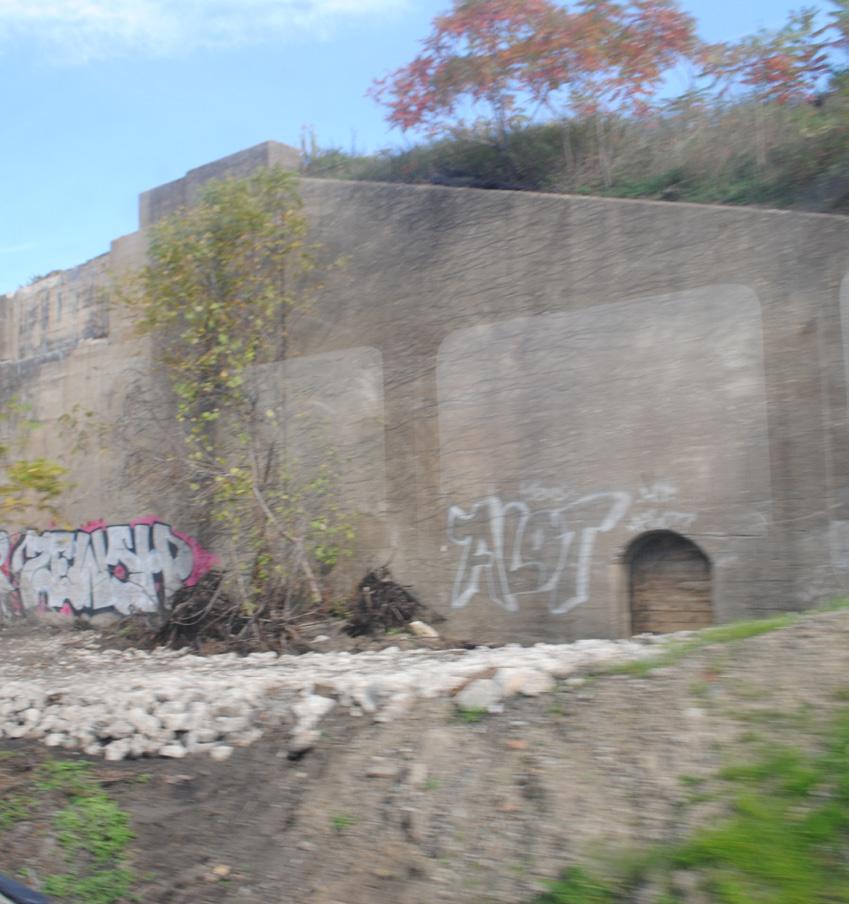
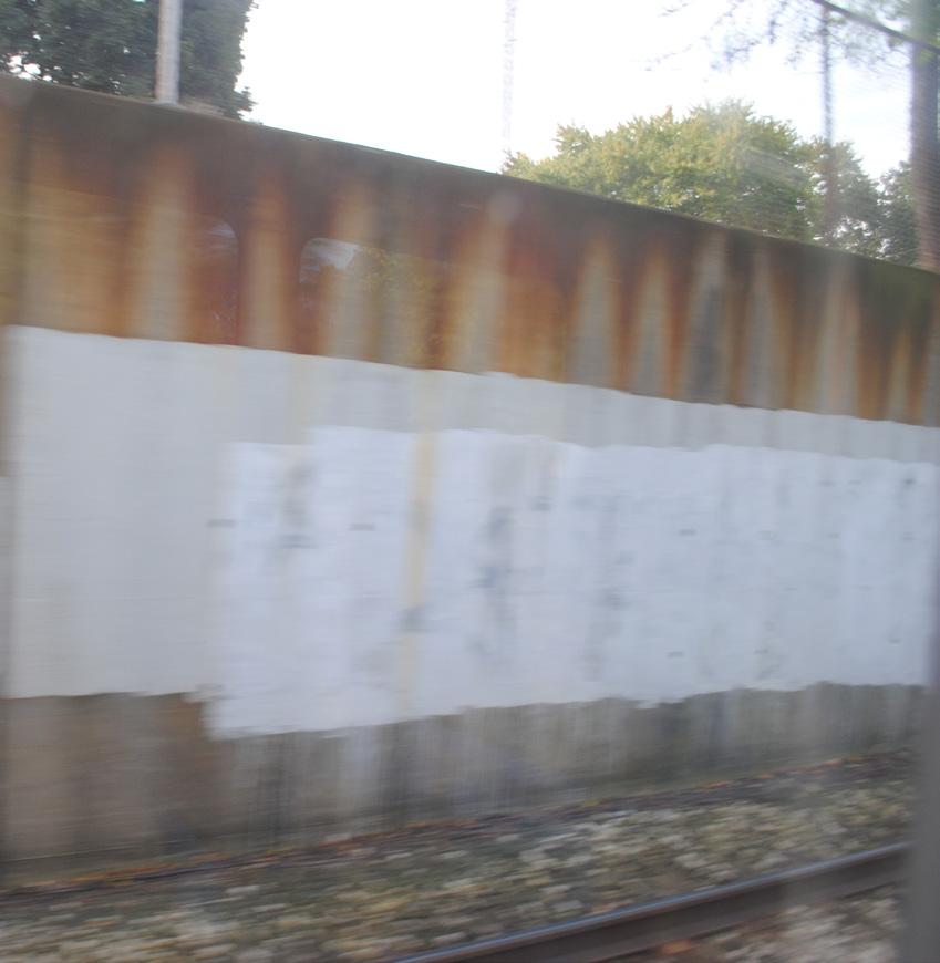
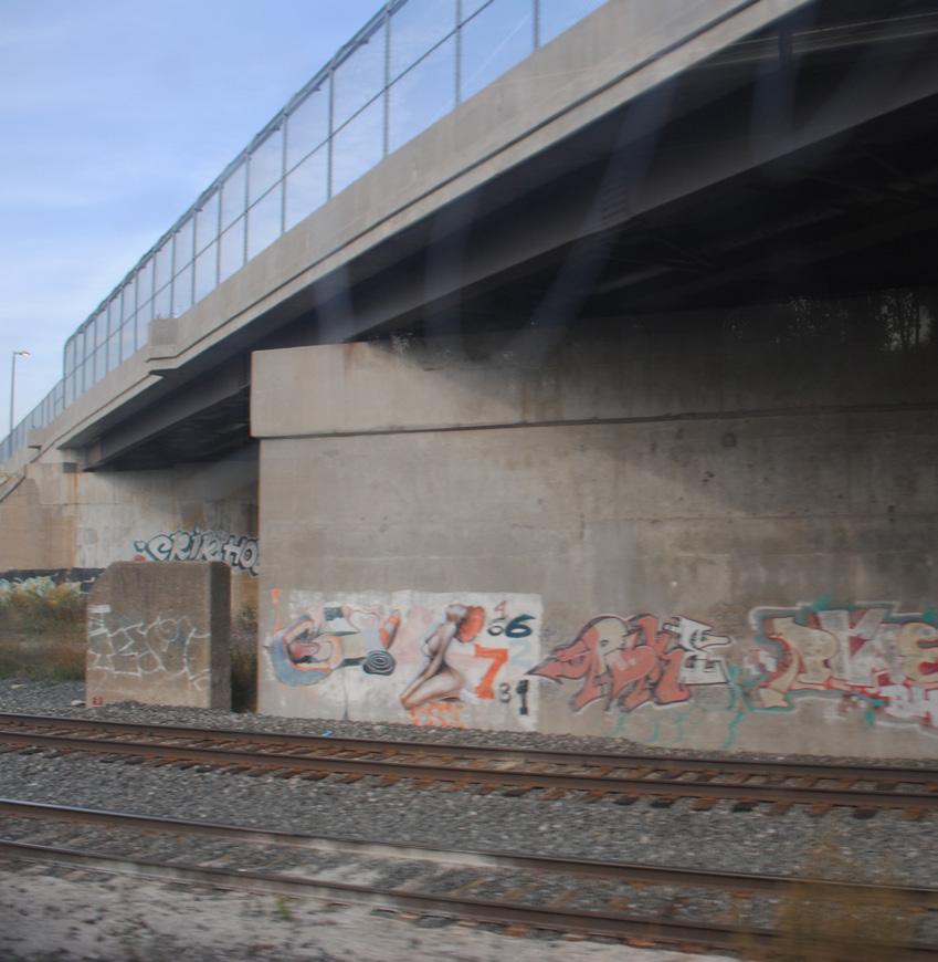
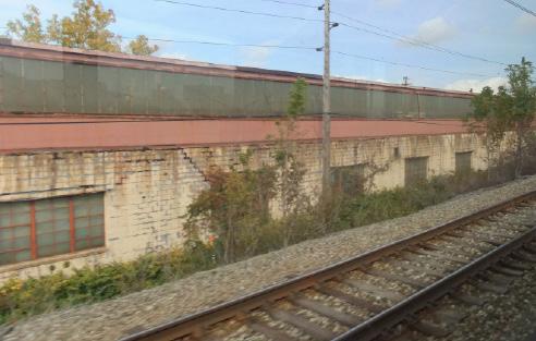
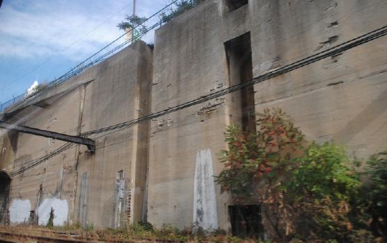
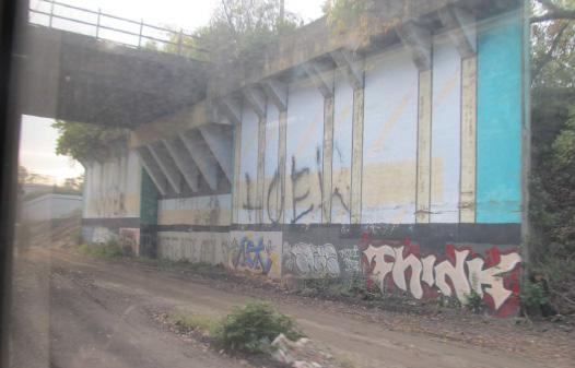
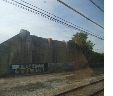
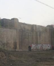
Retaining walls are common sites along the Red Line. One of the specific sites discussed in the plan, the Long Wall, consists primarily of a set of long retaining walls. Some retaining walls are works of art in themselves, but most along the Red Line are utilitarian in appearance, and many are already substantially covered in graffiti.
Retaining walls with flat surfaces are well-suited for murals or other kinds of two-dimensional artwork. Because they are usually made of concrete or similar materials, they can hold paint well and are suited for installations that are either temporary or permanent.
Some retaining walls are not completely flat and may consist of stone blocks or bands of concrete held in place by protruding pegs or other devices. These kinds of walls, of which there are several along the Red Line, are perhaps more suited to color enhancements or, in some cases, lighting.
As a class of potential art sites, retaining walls are among the most abundant and accessible for applying artwork along the Red Line.
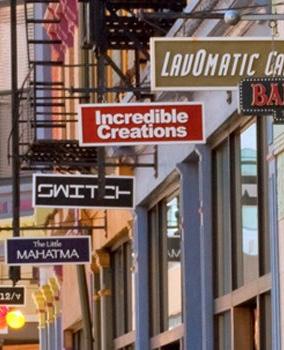
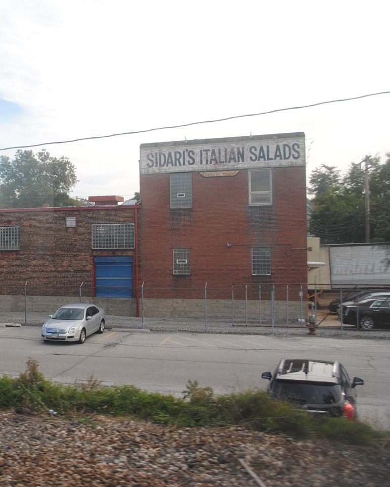
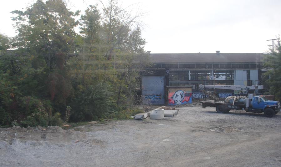
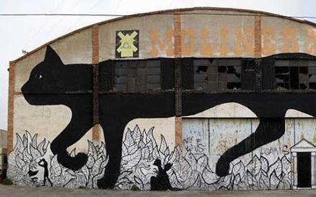
Building walls are more complex than retaining walls as hosts for artworks, because they are often fenestrated and composed of various materials. Ownership is easier to determine for a building wall than for many retaining walls, however.
Building walls can host murals but can also anchor more complex artworks, depending on the situation. They also provide opportunities for artworks that can double as identification or promotional signs for a building’s occupants or owners. Adding artwork to a building wall may also provide an opportunity for a building owner to make other improvements to the building—tuck-pointing, for example.
Artwork oriented to a building’s occupant can also, by giving the impression of prosperity and creativity, boost the image of Cleveland beyond the individual enterprise it may be promoting.
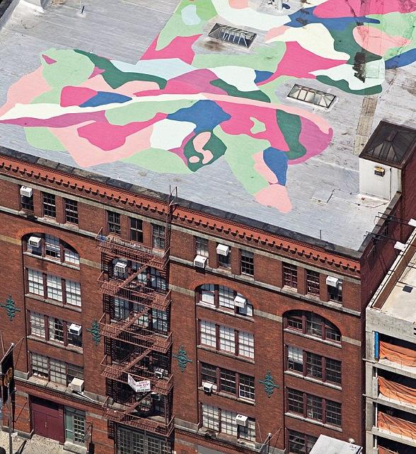
The Red Line sometimes travels above the part of the city it is traveling through, which means that rooftops are occasionally visible to passengers. This is especially true when it crosses the peninsulas on the Union Terminal Viaduct, where virtually every neighborhood rooftop is visible from the train.
Rooftop artwork can take many forms because of the many kinds and positions of surfaces thereon. Sculptural installations, in the spirit of SPACES Gallery’s rooftop signage, can be interesting, as can the use of color to bring out the shapes of the multiple pieces of equipment found on most roofs. Rooftop sculptures can be challenging if they are designed to be viewed both from above on the Red Line and from the street below but have the potential to produce a bold visual statement if designed thoughtfully.
There are different kinds of rooftop views accessible to Red Line passengers. On the viaduct, riders look down upon rooftops, while in University Circle riders are in position to view artworks placed on rooftops—though not the rooftops themselves.
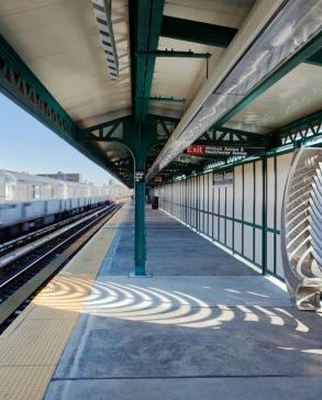
Because passengers spend time waiting in stations and because a station may provide a visitor’s first impressions of Greater Cleveland, stations and their immediate vicinities are logical and important sites for artworks. RTA understands this, of course, and has included public art in all of its station overhauls along the Red Line. Jessica Langley and Andy Curlowe’s Sneak Peek at the newly renovated Cedar-University Station, viewable to passengers entering the station as well as to pedestrians and motorists on Cedar Glen Parkway, is an example.
Stations with high ridership numbers, such as Tower City, which is described in more detail elsewhere in this plan, have a unique ability to affect a large number of visitors and improve the experience of everyday travelers; however, almost every station is a candidate for new artwork that could, in some cases, be affixed to a ceiling or applied to a nearby bridge abutment or retaining wall.
Stations that are fully outfitted with artwork, such as the airport station, could benefit from additional works. In the case of the airport, its status as one of the most important access points along the Red Line makes it a good candidate.
There are numerous bridges along the Red Line in varying states of repair. Newer bridges, some of which are already partly covered in graffiti, could host permanent artworks, and older bridges, including ones that are likely to be demolished or replaced, could be visually upgraded with temporary artworks or color treatments.
Bridges provide numerous kinds of surfaces because of their various components. Bridge abutments have some of the characteristics of retaining walls, while bridge piers present different kinds of opportunities but less surface area. Undersides of bridges can host surface and attached artworks, but they are complicated in terms of installation.
Some bridges are near stations and present opportunities for artwork that would benefit both passengers waiting in the stations and those passing by. Potential bridge sites at the Abbey Ave. Underpass and E. 105-Quincy stations are discussed in more detail in this plan.
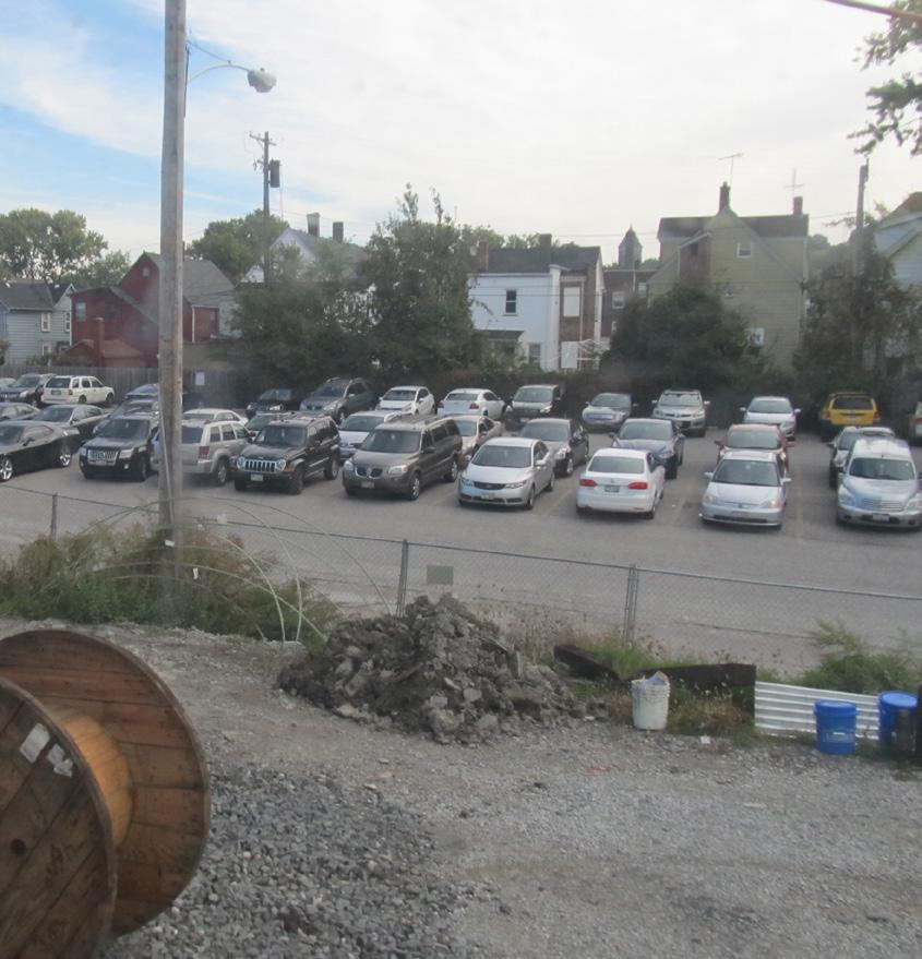
Numerous parking lots are visible from the Red Line. Some are barely noticeable, while others, such as one at the eastern end of the Detroit-Superior Bridge and those on the Columbus Road Peninsula, are prominent elements of passengers’ vistas.
Parking lots are not inherently offensive to look at, but, especially close to downtown, they can be disruptive to otherwise interesting views. Artwork is one way to mitigate the visual disruptions caused by parking lots. Screening and landscaping are some of the others.
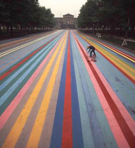
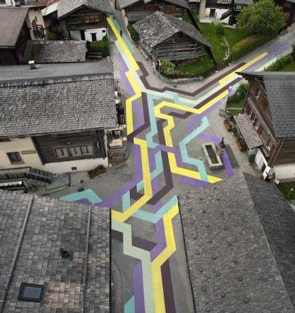
Perhaps, when using artwork as a mitigation tool, the easiest way to make parking lots more visually interesting is to use colors and imaginative approaches to striping the lots. There are limitations to this approach in that surface treatments must be designed so as not to confuse drivers or otherwise impair safety. For Red Line passengers, the parking lots that would benefit most from surface treatments would be those in close proximity to the line, such as the aforementioned lot near the Detroit-Superior Bridge.
There are various kinds of open areas along the path of the Red Line, many of which would be appropriate for siting artwork. One, Columbus Hill, is described in some detail in this plan. Some of the areas are associated with factories or other large facilities, such as RTA’s Central Rail Facility. Others are leftover spaces that do not have any other apparent use.
Depending on the feasibility of maintaining any one of these areas, they are often suitable for sculptural or landscape installations. Open areas that are in ideal condition would be good candidates for art sites, but some of the several disheveled open areas along the line could be improved with artwork and other types of improvements and thus, perhaps, become better sites.

In this plan the term “urban wilds” is used to describe untended areas that are wooded or covered with wild vegetation. There are several instances of both along the Red Line. Artwork interspersed among plant life in these areas is a possibility, but more natural interventions, including replanting areas with native species may be more appropriate in most situations.
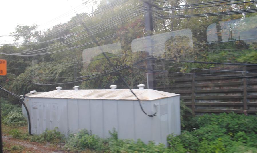
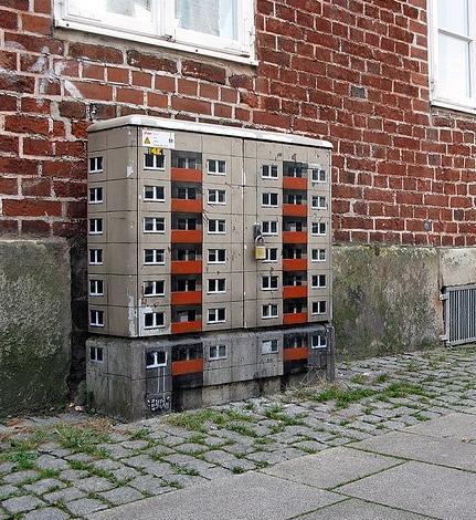
Utility boxes of various sizes and purposes are ubiquitous along the Red Line. As Ithaca, N.Y.’s 21 Boxes, Minneapolis’s Utility Art Boxes, and countless other initiatives have shown, utility boxes, because of their simple shapes and somewhat flat surfaces, are often good candidates for artwork applications, and utility-box artwork can add color and moments of surprise to their surroundings.
This kind of artwork is more ephemeral than many other forms of outdoor artwork because utility-box art must always be secondary to the box’s underlying purpose. Boxes can be removed, replaced, damaged, or altered in other ways at any moment. It is essential that artists and funders working to produce utility-box art keep this in mind. Of course, the opposite may also occur, and an artwork placed on a utility box that has been abandoned and forgotten may last for a generation or longer. While utility boxes on city streets may be unlikely to remain in place if abandoned, long-abandoned devices of one kind or another are common along the Red Line’s path.
Partly because of the uncertain longevity of utility boxmounted artwork, utility boxes can serve as grounds for artistic experimentation and can provide opportunities to artists who may not have a solid - or any - record of producing art in the public realm.


Following are recommended sites for public artwork along Cleveland’s Red Line. The list is not exhaustive, but describes 30 locations that would benefit from or be especially logical locations for a mural, lighting, landscaping, sculpture, etc.
The 30 sites presented one or more of the following characteristics:
• Large or looming structures
• Lengthy, vast, or vacant wall
• Unique vistas
• Open space
• Interesting architecture or history
Almost all of the sites could arguably benefit from temporary or permanent works. The scope and magnitude of work at each site would be developed as property owners, community stakeholders, partners, and resources are identified and brought into the discussion.
It’s nearly impossible to produce exact budgets for artwork that has not yet been designed. With that in mind, the following budgets illustrate the broad level of investment required to achieve a desired impact.
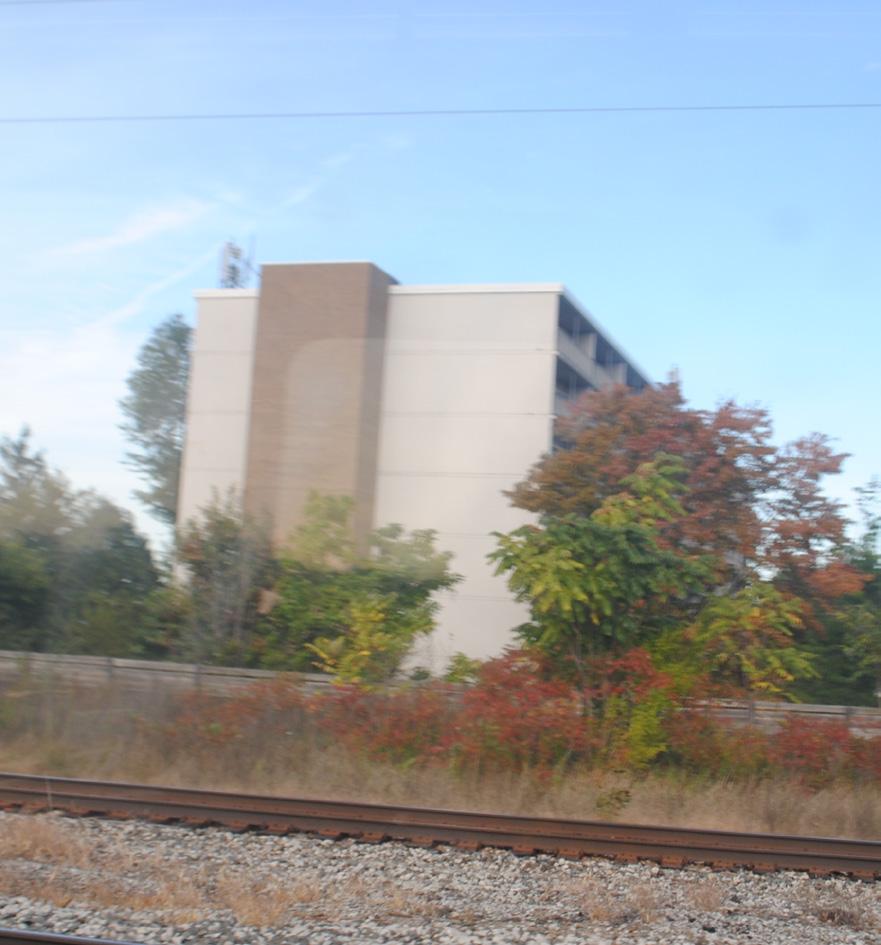
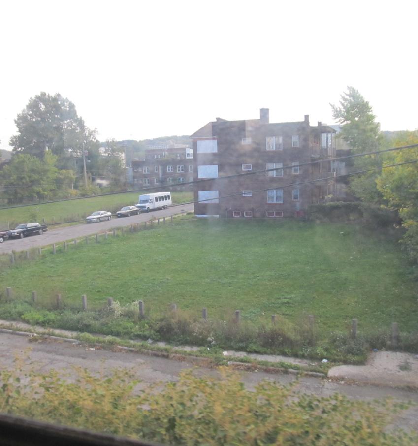
This facility, which is important to RTA’s operations, is one of the first opportunities to display artwork along the Red Line for passengers leaving the airport. Artwork along the walls of this building could function as a welcoming gateway to Cleveland’s neighborhoods and demonstrate the commitment that RTA has to incorporating the arts into its operations. This building is surrounded by a large amount of open space, which means that completed artwork would stand out against an otherwise clean, but uninspired backdrop.
PROBABLE BUDGET RANGE
$100,000 - $150,000 for painting
$75,000 for signage
Because this location would feature the first artwork that visitors to Cleveland see upon leaving the airport, LAND studio recommends covering the entire building with a mural done by a skilled artist who has experience covering large spaces with a range of contours. A secondary application would be signage with text at the top of the building that is lit at night, welcoming people to the city in an unexpected way.
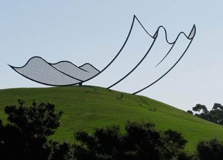
Where Interstates 71 and 480 converge near Cleveland Hopkins Airport, there is a vast greenspace beneath the highways. While this location is nearly invisible to vehicular traffic, it is highly visible to transit riders. This area is one of only a few along the Red Line where the space surrounding the track opens up and provides a longer vantage point contrasing with the more confined spaces along much of the rest of the track.
PROBABLE BUDGET RANGE
$200,000 - $300,000
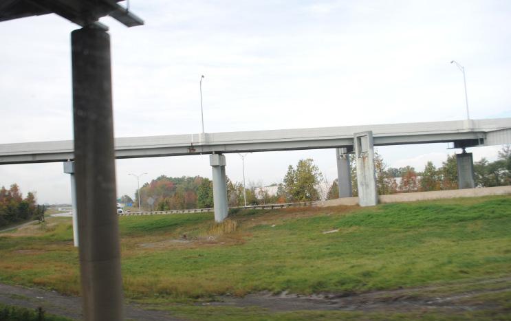
This location would be an ideal spot for a signature sculpture along the Red Line. With enough breathing room around the sculpture for it to be large and lit at night, this area is a unique opportunity to move beyond twodimensional artworks along a corridor that is otherwise narrowed by walls and buildings. For this highly visible location, considering local, national, and international artists would ensure that the right project is implemented here.
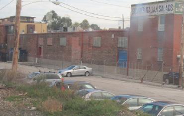
This location falls within an area along the western portion of the tracks that is flanked by the building facades of nearby businesses. It is among the more architecturally interesting buildings along this stretch of the Red Line. The brick, window panes, and panels along the top, along with the greenery growing along the front compose a unique visual backdrop for artistic intervention.
PROBABLE BUDGET RANGE
$5,000 - $10,000
There are several different approaches that could be deployed here. One would focus on the windows of the building, applying colorful decals that emphasize their geometry and patterns. Other options include painting a simple pattern onto the bricks or adhering small sculptures to the building façade.
Building owner
These buildings are large, stark, and highly visible. The cars in the parking lot suggest this is a building with activity taking place inside. Improving its ‘curb appeal’ would reflect positively on the business.
$20,000 - $40,000 per building
These buildings have large, windowless walls that could be adorned with large-scale murals that cover their entire facades. These murals could be graphic in nature, telling a short story across the property or incorporate digital art that may be printed and adhered to the buildings. If digital art of any type were to be pursued, this would be a good opportunity to reach out to artists who have not previously done public artwork, but who have an interest in exploring such opportunities, since a knowledge of painting applications and materials would not be necessary with this medium.
Explore partnership opportunities with the Cleveland Institute of Art
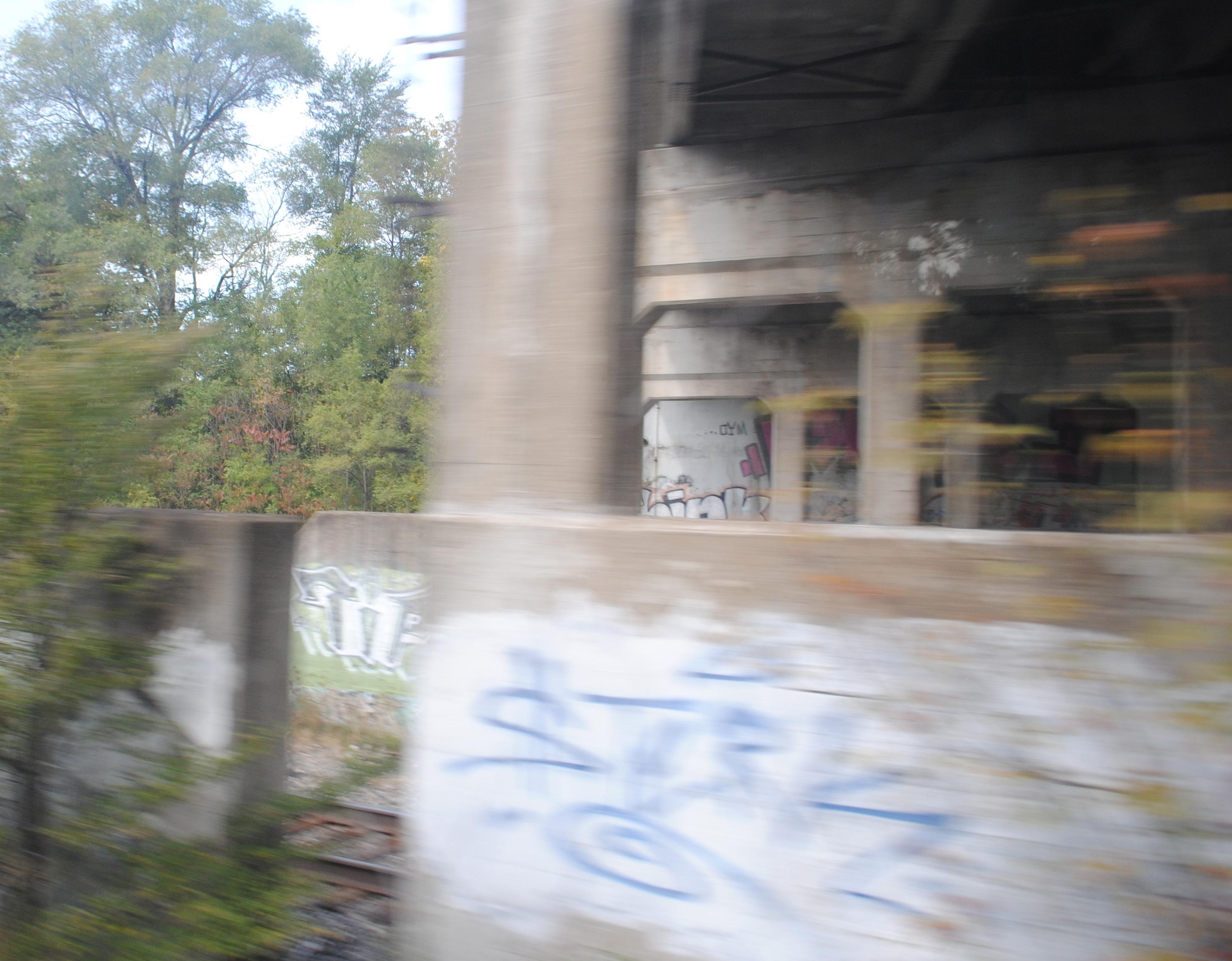
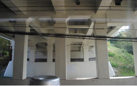
The Red Line experience is that of being beneath, above, and beside Cleveland, and this underpass highlights the experience of being beneath part of the city. As such, it is one of the most memorable along the transit corridor, in part because of the unique columns that adorn the bridge abutments.
PROBABLE BUDGET RANGE
$50,000 - $100,000
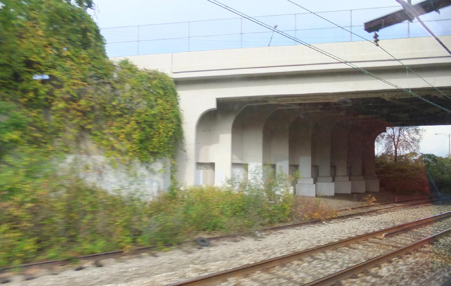
A series of sculptures or paintings that inhabit the ‘display cases’ created by the columns of the bridge could be installed. It will be important for the artwork created at this location to respond to the distinct character of the columns, composing one unified sculptural work.
Bridge owner
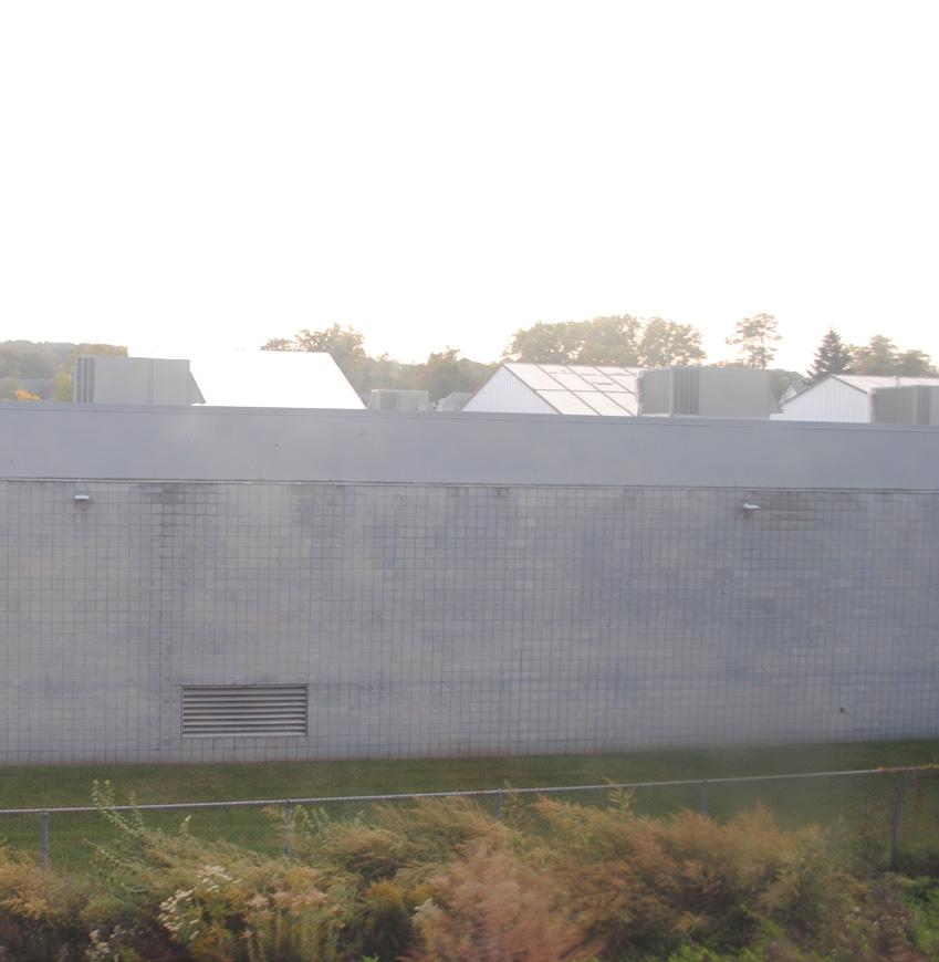
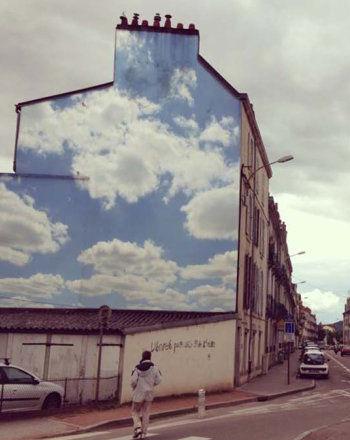
On a cloudy day in Cleveland, this complex of buildings can nearly blend into the sky. Yet the simple geometry of their shapes begs for decoration. On an eastbound train, color added to these buildings would enliven the ridership experience.
PROBABLE BUDGET RANGE
$10,000 - $30,000
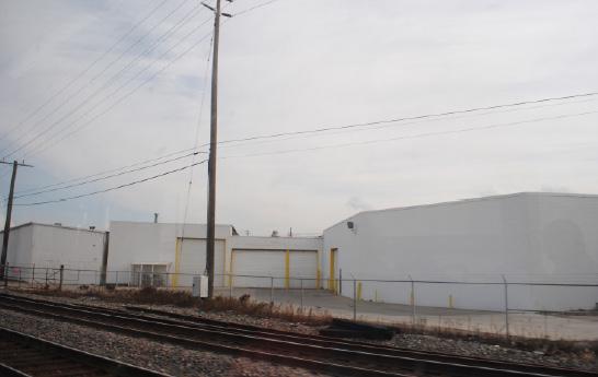
Like many of the windowless buildings along this western stretch of the Red Line, these warehouse buildings are not unkempt, so much as they are bland. They serve a utilitarian purpose, but do not add to their visual environments. For this particular complex, using bold colors painted directly onto the bright white background could be an inexpensive way to add life to these buildings. An abstract or text-based artwork that spans the multiple facades could unify the buildings.
Building owner
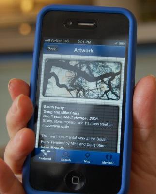
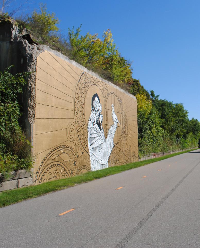
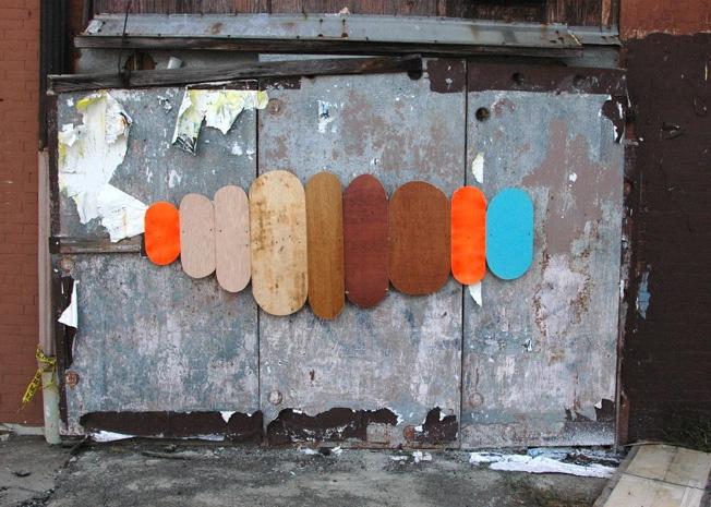
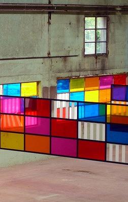
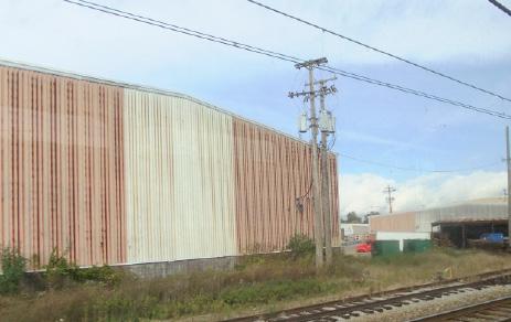
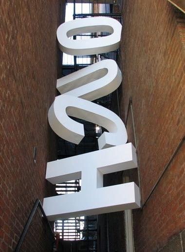
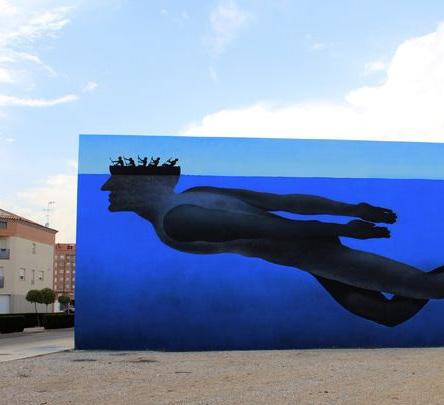
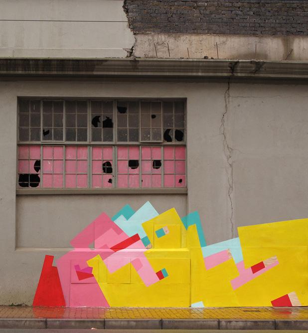
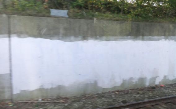
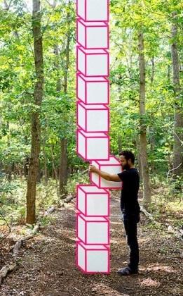
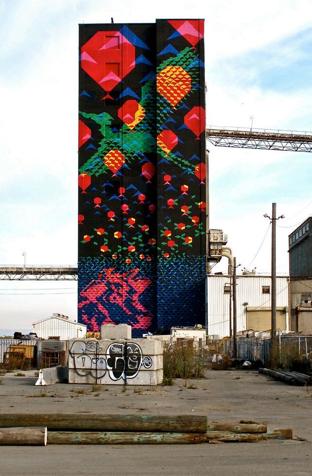
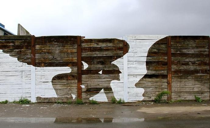
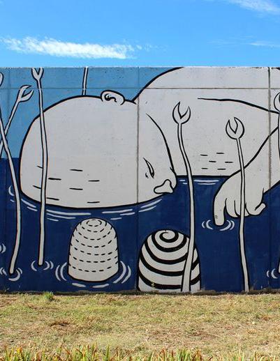
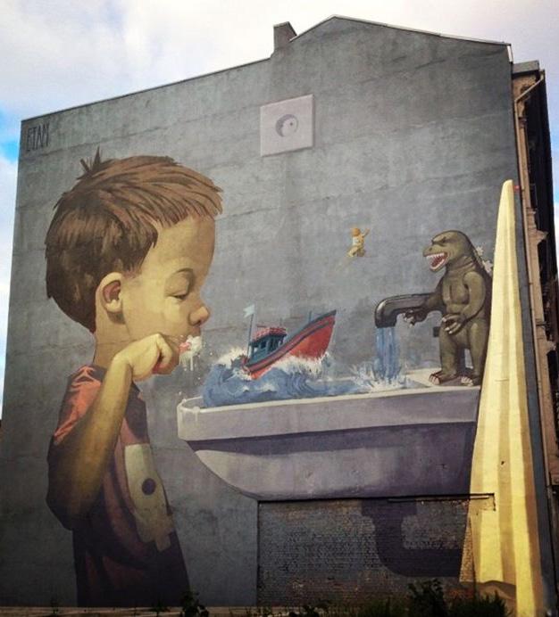
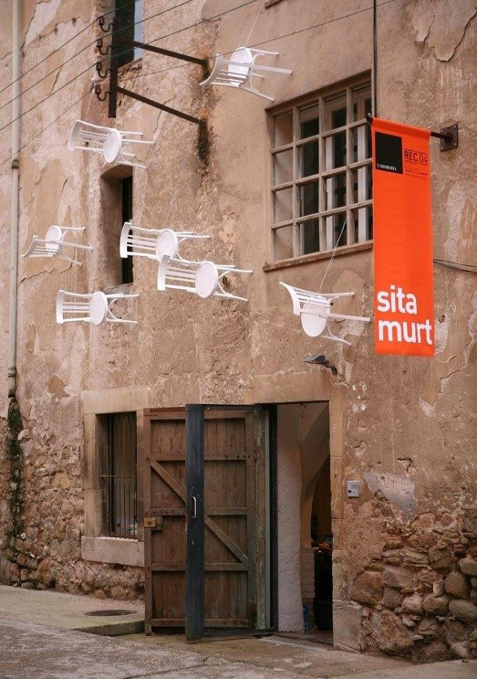
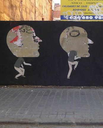
Between the W. 117-Madison and West Blvd. stations, a wall runs near the south side of the tracks. This location, because of its length and relative closeness to the tracks, would provide a good location for a flipbook-style artwork that would simulate the image of something - such as an animal or vehicle - moving across the surface. The flipbook effect would be primarily oriented to eastbound passengers; although, it could function for westbound riders as a more typical mural or perhaps as a backward-moving flipbook.
PROBABLE BUDGET RANGE
Approximately $30,000
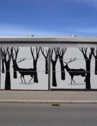
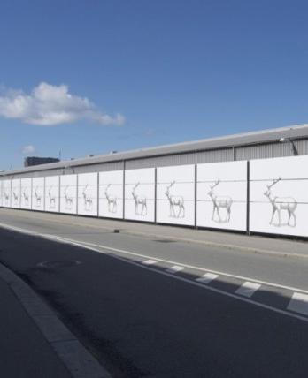
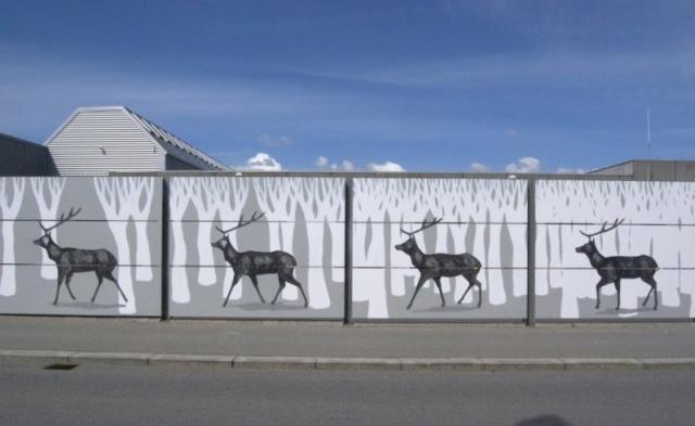
Though Flip Wall could host a standard mural or more conventional paint treatment, it is included in the plan as a priority site because of its suitability for a flipbook artwork. The artist or artists who would carry out this installation would require specific skills or would need to research how to create and install this type of artwork.
The West Blvd. station is a heavily trafficked RTA stop, with the 26 Bus Line connecting and the 22 Bus Line ending at this location. Because it has higher-than-average ridership, it is especially important that its ‘transit waiting environment’ be thoughtfully designed.
$20,000 for a painted mural, $12,000 each for digitally printed artworks

A mural could be applied either directly onto the wall or digitally printed and hung in this space. A digitally printed piece could rotate over time, providing an evolving gallery space for artists—perhaps even artists who frequently use this station. Developing an artwork to specifically interact with people who are waiting for a few moments could make the wait for the train more interesting.
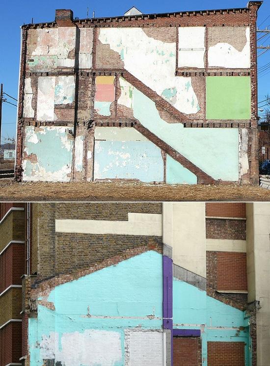
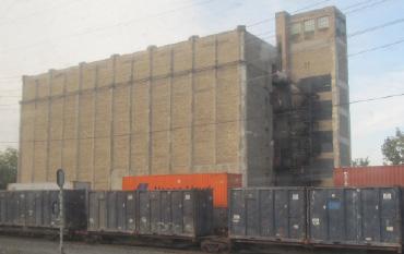
This apparently vacant building towers over the Red Line corridor. Light from the sky shines in through the holes in the roof, partially illuminating some of the windows. Vines climb the building and inexpert graffiti adorns the bottom of the building. This is one of those historic Cleveland buildings that conjures a bygone era of manufacturing. Artwork on this building could highlight it as a potential development site.
PROBABLE BUDGET RANGE
$5,000 - $10,000
Working with a local graffiti artist to paint a large-scale work on this building would be an inexpensive way to draw attention to the building without investing too much money in a building that needs extensive restoration. Additionally, providing young local graffiti artists, as opposed to exclusively professional artists, with the opportunity to participate in the project could be an effective way to include local communities and garner their support and interest.
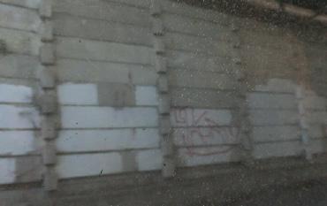
This wall is frequently graffitied, as evidenced by several layers of white and gray paint applied by RTA over time. Investing in a permanent artwork on this site could discourage aspiring graffiti artists.
PROBABLE BUDGET RANGE
$5,000 - $10,000
Because this wall is already a target for graffiti, it is a good location upon which to engage with local graffiti or street artists to implement either one large artwork or a series of artworks that are connected to each other. This site would be a good opportunity for a rotating exhibit that changes year to year, budget depending, since street art styles evolve over time.
This underpass is beautiful in itself, a marked opportunity to celebrate existing architecture through public art. It appears to have a lot of planes upon which to work and almost evokes tunnels running perpendicularly to the tracks themselves.
PROBABLE BUDGET RANGE
$25,000 - $50,000
This location would be a great opportunity to paint full coverage murals on all of the columns and abutments. To add drama in the evenings, some of the paint could be reflective, allowing the train’s headlights to illuminate different patterns and create a lovely nighttime moment. This would be a great continuation of the experience of riding over the river for westbound riders and a gateway to the downtown skyline for eastbound riders.
Bridge owner
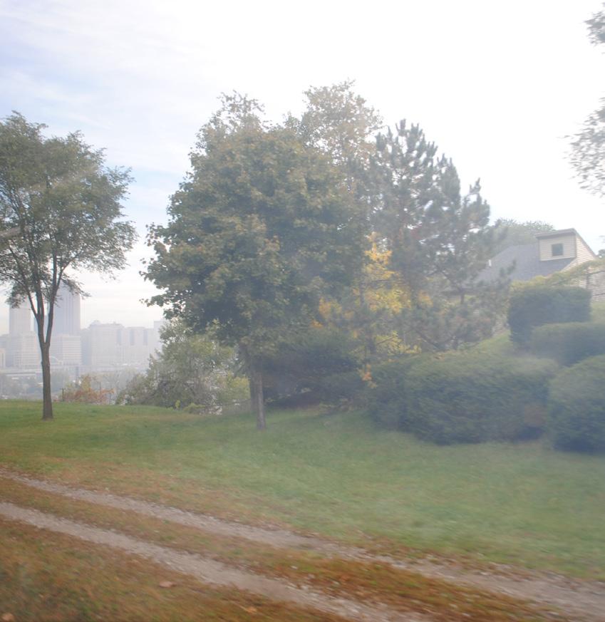
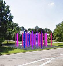
Columbus Hill is a flat hilltop viewable from eastbound trains just east of the W. 25-Ohio City station. It is near the northern end of the proposed Red Line Greenway and commands a view of the peninsulas and downtown. Its hallmarks are its accessibility and visibility.
$5,000 to $50,000, depending on magnitude
This is a logical location for a sculptural or landscape artwork, either of which could be oriented to both Red Line passengers and traversers of the greenway. Alternatively, a sculpture at this location could be designed to be viewable from afar, from lower points along Columbus Road and the Columbus Peninsula, or even from across the river. This high-visibility location would best be suited to an experienced public artist, selected through an RFQ-based process.
RTA (property owner)
The Red Line crosses the flats of the Cuyahoga River on the Union Terminal Viaduct, which roughly bisects the river-sculpted Columbus Road Peninsula. The viaduct’s only practical purpose now is to carry the Red Line across the valley, but it was designed to carry muchheavier inter-city passenger trains. From the ground, the formidable structure of the viaduct dominates the peninsula landscape. From the train, it offers a high level view of the buildings and other structures of the peninsula, as well as the Scranton Peninsula to the east and the downtown skyline.
The vantage point is unusual in that passengers are looking down at several rooftops; most buildings on Columbus Peninsula are shorter than the viaduct. The smooth-walled silos of the St. Marys Cement Group are the dominant structures on the peninsula. Their cylindrical shapes and windowless facades are unique and eye-catching.
PROBABLE BUDGET RANGE
$20,000 to $40,000, depending on treatment
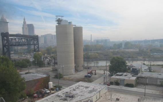
Columbus Peninsula could host several different kinds of art installations, ranging from paintbased decorative work on one or more of the peninsula’s rooftops to dramatic lighting of the cement company’s silos.
Outside of the viaduct, the St. Marys Cement Group silos are the dominant built object on Columbus Peninsula. Lighting of the silos would complement the lighting on the Terminal Tower across the river. The unadorned silos provide an interesting counterpoint to the tower’s beaux arts grandeur. Rooftops and cornices could host painted or sculpted artworks.
RTA, St. Marys Cement Group
Tower City station is the central station of RTA’s rail system and, with Public Square, forms the hub of the entire transit system. Though the Red Line is not a subway, the subterranean Tower City station feels like a subway station. It is a station that most everyday riders of the system and nearly all visitors who use the trains will spend time in. Though it is modern and wellmaintained, it is bereft of artwork.
Because it is in the Terminal Tower, which was designed to house the city’s main inter-city rail station, there is some grandeur in the vicinity of the platform, and, especially during rush hours, there is some hustle and bustle in the station. Artwork could help to animate it at other times.
The Tower City station is a space that can accommodate many types of artwork in varying scales. Because of this flexibility, it’s difficult to estimate a budget.
Tower City station provides a uniquely great opportunity for Cleveland to dazzle visitors and inspire commuters because of its centrality on the rail system. Smaller artworks could provide moments of inspiration and diversions from the sometimes dreary atmosphere of the station. Larger installations could be more spectacular and change the station’s entire demeanor. Both the light-rail and heavy-rail sides of the platform could benefit from artwork, but the heavy-rail Red Line side is the one more likely to be experienced by visitors. The atrium and ticketing area would also be enhanced by artwork and could accommodate works that the low-ceilinged platform areas could not.
Tower City station has an inseparable relationship to Public Square that could be made more apparent. Artwork could unite the two places visually.
RTA, Forest City, Destination Cleveland, Downtown Cleveland Alliance
This retaining wall is very visible from Red Line trains traveling just east of Tower City and appears to be of somewhat recent vintage and in good condition. It is not a visually unappealing site that needs mitigation through art or other means but is included because it could make a good backdrop for artwork.
The budget would depend on the type of artwork. The wall could host a mural, which would cost between $25 and $100 per square foot, depending on the level of detail and whether there were repeating elements in the mural or paint treatment.
The wall could host a large mural, several smaller portrait-style murals, or a decorative paint scheme that would enliven and call attention to it.
Wall owner
This bridge abutment is one of the most unusual of the bridge abutments found along the Red Line. It is not intricately ornate but is structurally complex in a way that gives it a shape similar to the façade of an imposing building of some kind—hence the title of this location. It carries a disjointed stretch of E. 9th St. over the tracks. Though the street above still seems to be a public right-of-way, it is no longer in use as a public street. A new E. 9th St. Extension exists nearby.
PROBABLE BUDGET RANGE
$5,000 or more, depending on approach.
The future of this grand structure is uncertain, so it may be unwise to recommend an expensive piece of artwork. This structure, which is now partly covered with graffiti, would perhaps be best put to use as a sculpture in its own right. Its sculptural quality could be brought out by a paint scheme that emphasized its unusual shape. Lighting is also a possibility, depending on whether the structure will continue to exist for the long term.
The multi-faceted surface could also provide multiple opportunities for street artists to add color and fine-grained detailing to this grand structure.
City of Cleveland
Just east of the Temple Façade site and the new E. 9th St. Extension are two bridge abutments— more or less twins of each other—on opposite sides of the tracks and not directly across from each other. They were parts of a very recently demolished railroad bridge that, as of this writing, still appears in most aerial views of this location.
While both abutments appear to function as retaining walls, it’s unclear if the structures will remain in place now that their main function has ended. Both abutments are partly covered with graffiti. They have shapes that would accommodate artwork, and both are also interesting as historical artifacts. Because they look so much alike, they can be disorienting to someone trying to use one or the other as a landmark.
PROBABLE BUDGET RANGE
$5,000 or more
Because the future of these bridge abutments is not known, an expensive artwork may not be suitable. Both could host murals or paint treatments, and because of their unusual status as twin remnants of a demolished structure, the murals or paint applications could be designed to complement or play off of each other.
Determining ownership of the bridges would be a necessary step in deciding who to partner with.
This is an interesting visual point along the Red Line in that the piers of the bridge carrying Interstate 77 overhead are sculpturally interesting as is the view to E. 37th St., which drops steeply into a valley below the tracks at this point. There is no need for improvement of the view at this location, but an artwork of some kind could play off or call attention to the massive bridge piers or the out-of-the-way street that runs below.
Similar to Tower City, this location lends itself to a number of artistic interventions, which in turn makes budget estimation difficult.
$10,000 - $100,000 00, depending on treatment
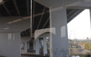
In this location, numerous approaches could work. Because of the various structures and objects visible from the train at this point, it is a large site. The surface of even one of the bridge piers would be an immense space, so the work in this location would most likely be designed to call attention to one or more of the elements rather than to transform them. Though it would be an expensive undertaking, lighting the bridge piers could have a dazzling effect.
This location, which is closer to the E. 34-Campus station than it is to E. 55, is actually a combination of a retaining wall, bridge abutment, and various other structural elements. It is already sculpturally interesting because of the juxtaposition of structural features and noticeable because it is has a lot of graffiti that has been partially painted over.
PROBABLE BUDGET RANGE
$5,000 - $10,000
This location, because it is already structurally complex, would most likely be a site for a mural or some other kind of applied treatment. Color alone would call attention to the collection of shapes that makes up this site.
Norfolk Southern, RTA
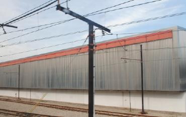
RTA’s Central Rail Maintenance Facility, an expansive facility with a long, blank, stepped wall facing the tracks which, in this location, are shared by the Blue and Green Lines, is included as a logical art site for many reasons. The surface is immense and, though blank, not perfectly flat, which creates both challenges and opportunities. It is also large and easily visible to riders and belongs to RTA, the Red Line’s operator, who would be a relevant project partner and who has long experience in conducting artist calls.
A mural covering all or most of the surface would cost $100,000 or more; however, smaller works, which could still be effective, could be carried out for as little as $10,000.
site aerial
As noted, the corrugated surface of the wall (or walls, if you consider each stepped section to be a separate wall) makes it unsuitable for a typical mural that would be applied to a flat surface. However, it could provide an interesting surface to a treatment that made essential use of color and perhaps appeared different from the changing perspectives of every rider as they passed by.
Architectural remnants like these evoke the history and framework of the modern Red Line and the other railroads operating alongside it in this passageway through Cleveland. In addition to fostering a connection with Cleveland’s past and reminding riders of their unique community and individual heritage, these artifacts in and of themselves are beautiful and interesting and would enhance any contemporary art collection.
PROBABLE BUDGET RANGE
Paint treatments could be added to one or both of the structures for $2,000 to $5,000. A restructuring of the abandoned building would cost much more and the budget would depend on the extent and nature of the restructuring.
This and other like sites along the tracks would benefit from attention to the adjacent landscape. The catenary structure, for example, functions as a trellis for wild overgrowth. This function could be preserved but perhaps made to appear more intentional by clearing invasive greenery to de-clutter sightlines. Any number of artistic approaches could be taken to pull the small abandoned building nearby into use as a sculpture. Paint and lighting could both be employed, but a paint-based treatment would require less maintenance.
Norfolk Southern
In its current form, this modern ruin offers riders a haunting skeleton of the not-too-distant past. This former factory is wrought with broken windows, degrading masonry, and darkness. A rider’s experience should be interesting and thought-provoking but never scary. This site provides an opportunity to shift the mood along the Red Line with a bright and transformative application.
$20,000 - $25,000
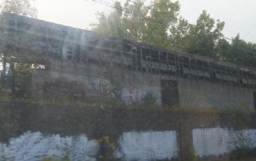
As a baseline effort, the site should be cleaned and made safe. Broken glass and debris should be removed. The building’s walls could be treated with paint or wrap. The site could also benefit from an evening lighting treatment.
Property owner
Recently renovated and close to the Juvenile Justice Center and the Cleveland Clinic, the E. 105-Quincy station is a principal point of access and interest for Cleveland riders. With minimal intervention, this site could be elevated from an average experience to one that is interesting and compelling. An abutment of the Quincy Ave. Bridge is positioned in a way that makes it easily viewable from the short platform at this station, which provides the opportunity to visually link it to the station.
PROBABLE BUDGET RANGE
$5,000 - $7,000
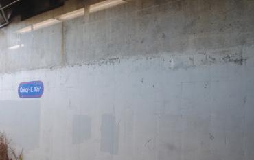
Debris clean-up with attention to overgrowth would make for a more safe and inviting rider experience. A mural would be the most logical and appropriate kind of artwork on this wall.
RTA, Juvenile Justice Center
As illustrated by the abundance of existing graffiti on walls that seem to stretch indefinitely, this is an alluring site for street artists, seeking a captive audience for their work. Footprints suggest where paths should go in the same way that this wall beckons for a formalized program.
PROBABLE BUDGET RANGE
$20,000 - $30,000
Existing graffiti along this wall could provide an opportunity to build upon existing momentum and engage street artists and other local artists, giving the community a voice to claim the wall. The wall could also be used as an impetus for an artists’ mentoring program or as an outlet for civic expression, integrating local talent into the scheme. Painted murals are a good opportunity to foster a hands-on experience for neighborhood youth and artists.
Juvenile Justice Center, Cleveland Institute of Art
This wall stood out among countless walls abutting the Red Line for its unique composition. Unlike many of the flat concrete walls along the rail, this pegged retaining wall suggests a different and more rudimentary architecture evoking classic log construction. This kind of wall presents a unique artistic opportunity different from a flat wall.
PROBABLE BUDGET RANGE
$3,000 - $7,000
Showcasing the wall’s structure and attemping to instill a sense of safety with a light wash and debris removal are two approaches that could be taken. Both would involve identifying an artist who can play off of the infrastructure and deliver a bright and inspired artwork.
RTA
This former cold storage building, which faces the University-Cedar platform, is being renovated as the home of Case Western Reserve University’s think[box], a center for interdisciplinary innovation. Structurally, the building is interesting to look at. Its presence provides an opportunity to visually highlight a major Cleveland institution and add to the experience of riders waiting in the newly renovated station.
PROBABLE BUDGET RANGE
$20,000 - $30,000
The brick and masonry wall of the building facing the Red Line’s Cedar-University platform, while mostly windowless, is somewhat ornate. Thus, it’s not a good candidate for a painted mural. This would be one of the best candidates of any site along the line for artistic lighting and could also accommodate artworks that would be attached, rather than applied, to it.
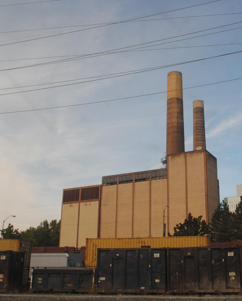
This somewhat conspicuous building could host an artwork somewhere on its surface planes and smokestacks. While the building and its smokestacks provide visual interest as they stand now, its prominent location and sculptural form make it worth considering as an art site.
PROBABLE BUDGET RANGE
$20,000 - $30,000
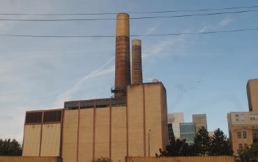
Due to the structure’s materials - brick and masonry - this site is better suited for lighting or attached artwork rather than an applied or painted artwork.
University Hospitals
Utilitarian objects offer interesting opportunities to integrate visual art. These mammoth twin parking garages provide a simple and geometric surface upon which to apply an artwork that punctuates the landscape. Parking garages are also well suited for lighting installations.
$7,000 - $30,000, pending scope
Lighting or a simple color wash could elevate the garages from basic to dynamic. Alternatively, or additionally, a playful approach including temporary appliques could call out the site.
University Hospitals
Nearly half a century in operation, Sidari’s is a small family business supplying Italian food products to the national food industry. Its sprawling facility and the neighboring parking lot present multiple surfaces and opportunities for artistic intervention. Visible from both the soon-to-close E. 120 station and the soonto-open Mayfield station, site lines to the manufacturer are clear, and it’s poised for artful intervention.
PROBABLE BUDGET RANGE
$10,000 - $20,000
Debris along the train bank should be cleared and attention focused to the building’s multiple facades and perhaps parking lot, which is under separate ownership. There is an opportunity here for Sidari’s to develop or enhance their brand by updating company signage with painted graphics and exploring simple lighting opportunities. The parking lot could also be enhanced with playful graphics or bold parking lines.
Property owners
This large site is well maintained and has great potential for art intervention, including its sprawling landscape, blank facility walls, and distinctive labyrinth. In its current state, it is gray and subdued and has a sterile appearance. It’s managed by the Cuyahoga County Board of Developmental Disabilities, an organization that supports the arts and strives to make art opportunities available to its clients.
PROBABLE BUDGET RANGE
$10,000 - $50,000
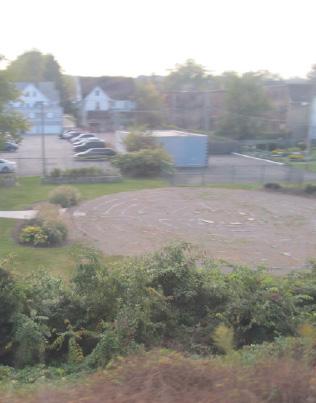
Treatment could include any number of applications, separately or in concert. The great lawn could be made vibrant with colorful landscaping or perennials that require minimal care. The lawn could also sustain a sculptural element or elements of varying scale. In its current state, the labyrinth is in disrepair, but could be revitalized. The dull walls of the building could also host a colorful mural or series of vinyl panels.
Cuyahoga County Board of Developmental Disabilities
As illustrated in the precedents section of this report, there are several different strategies that could be employed in the curation of the Red Line as a linear gallery that aren’t site-specific, but are, instead, developed to cover broader goals of the art program. These strategies involve a mix of multiple-location opportunities, event-based projects, and longer-term involvement for artists. If employed, these types of programmatic concepts should be layered onto the site-specific projects, resulting in a more dynamic and ever-evolving art gallery along the transit route.
Each of these opportunities provides different types of creative work, including artists, event planners, writers, nonprofit organizations, musicians, and many other types of freelance or contract workers. By integrating some or all of these strategies into the public art program over time, Cleveland can distinguish itself among the numerous arts-in-transit programs from across the country.
Chem Trails: New Mural in New York, part of a series of murals by Maya Hayuk.
Based on the large number of private businesses and institutions along the Red Line, a program to create signage for these locations could be created. Based off of the success of Cincinnati’s CoSIGN program, which connects artists with businesses, sign painters, and sign fabricators, Cleveland could implement a similar approach. Corridor-wide, businesses could work with the City’s Department of Economic Development to express their interest in participating. The art program could, in turn, have artists design distinctive signage for participating businesses. This would provide work for artists, sign painters, and fabricators while increasing the visibility of the businesses that are along the transit corridor.
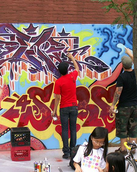
For seven years in the early 2000s, Cleveland Public Art (a parent organization of LAND studio), hosted a weekend-long festival called City Xpressionz in Ohio City’s Market Square Park. More than 3,000 people attended the event, which focused on providing opportunities for the city’s graffiti and street artists to exhibit their work in a public space. This event demonstrated that graffiti artists, while often criticized for vandalizing public spaces, also have unique talents. While that festival is no longer held, it demonstrated a market for artists looking for appropriate locations to paint. One or more safe locations along the Red Line could become spaces for events focused on providing outlets for talented street artists to adorn the walls of this corridor with unexpected artwork.
Similar to the event-based approach, this opportunity would pre-determine wall locations along the Red Line with owners who are interested in showcasing artwork on their building, but do not want to deal with the hassle of finding an artist and purchasing materials. In this scenario, several walls along the Red Line, most likely in locations that are visible to riders but above the rail trench and out of the transit right of way, would be identified as locations that are open to artist intervention. These walls could be made available to artists to paint and repaint at will.
An artist-in-residence approach to cultivating artwork along the Red Line would incorporate an artist into the program in a system-wide way. This strategy would allow for an artist to get to know the transit corridor, develop long-term relationships with neighboring communities, and result in a cumulative series of artworks along the corridor. The duration of the program is flexible-- from several weeks to several months or years. A rotating crop of artists interested in creating artwork along the corridor, each bringing their own style and perspective to the public art program, would also enhance the program.
This strategy builds off of the site-specific opportunities outlined earlier in the plan. For this opportunity, rather than hire an artist to do one major work at a specific location, an artist would be encouraged to develop a series of smaller pieces that would be shown across a number of locations or even along the entire transit line, adding a sense of cohesion amidst the larger artworks. In this scenario, all of the pieces would be clearly connected to one another or repeated in multiple spaces along the route. This type of opportunity would be ideal for a street artist interested in wheatpasting or a graphic artist who designs stickers or decals that could pop up unexpectedly along the route.
Artist Eltono experiements with abstract geometric street art.
Outlined in preceding sections of this report are both sitespecific recommendations for 30 sites and strategies for improving specific types of locations that frequently appear along the route. This section focuses on building a public art program and providing management of a large-scale public art collection. These strategies will help to ensure the art program’s long-term stewardship and community impact as well as allow for meaningful artist and community participation.
For the City of Cleveland to implement this ambitious project, collaboration with RTA, community development organizations, and the city’s artistic community will be critical. Because this project is ultimately more than the sum of its artworks, outreach and communication among this group will also be critical.
The creation of a steering committee tasked with guiding the implementation of this program and selecting artists for specific locations will help ensure that the right groups are at the table and provide a broad sense of ownership of this plan.
Sources for images start on page 157.
Based on geographic and mission-based connections to this project, LAND studio recommends representation from the following entities within the steering committee:
• City of Cleveland Departments of Economic Development and Community Development
• Greater Cleveland Regional Transit Authority (RTA)
• Northeast Ohio Area Coordinating Agency (NOACA)
• Cleveland Neighborhood Progress
• Community Partnership for Arts and Culture
• Cleveland Institute of Art (CIA)
This steering committee will foster connections with Community Development Corporations (CDCs) or other community groups that may adopt or maintain certain projects, identify financial resources, and help develop an implementation schedule that aligns with broader civic priorities.
Additional outreach to organizations that are focused on providing services to artists would ensure that artists from all corners of Cleveland have the opportunity to participate in this project, resulting in a gallery that reflects the community around it. There are dozens of artist organizations throughout the city; this report identifies some of these, but this list should be considered a starting point, not comprehensive.
Another important strategy for successful implementation of this plan will be to convene or otherwise communicate with building owners along the Red Line. Many of the businesses along the track are seen by riders but do not communicate their services to the public. This program could provide a platform for increased visibility of businesses along the corridor, through the creation of artist-designed billboards along their walls that face the tracks, artist-designed signage, or simply by allowing an artistic intervention to their facades. Engaging these buildings and business owners early in the development of an implementation plan could help to generate interest and investment.
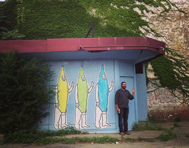
There are several different ways to select artists for any public art project. Some of the most common are explained below.
Open competitions are the least restrictive of all calls for artists and are generally open to all interested artists. Limited competitions are more restrictive and may limit entry to artists living in a certain geographic area or working in a certain medium.
An invitational competition is an artist-selection process that involves a limited number of artists who are invited to submit proposals for a specific public art project, based on the skills, interests, or other pertinent characteristics of the artists.
Direct selection is an artist-selection process in which an artist is chosen to provide or produce a public artwork without a competitive selection process. This is not the typical approach to selecting public art. Examples of situations in which it may occur include one in which a specific work of art has been identified in advance for an installation or one in which only one artist is seen as having the skills, abilities, and interests needed for a specific public art project.
Calls for artists are usually in the form of either a request for proposals (RFP) or a request for qualifications (RFQ). An RFP seeks a preliminary proposal or concept for a public art project, while an RFQ seeks information about an artist’s qualifications and interests before seeking the artist’s concept for a specific project.
Most public art selection processes involve a selection panel, which may also be referred to as a jury, advisory committee, or another similar name. The selection panel is charged with choosing an artist from among a pool of submissions for a project and should provide insight into the community where artwork will be located. For the Red Line, this selection committee compares to the steering committee, with 1-2 ad hoc members added for specific locations to ensure neighborhood representation.
Once artists have been selected as finalists for a project, they should be given time and a stipend to develop proposals. The steering committee would then select one of the finalists’ proposals for fabrication and installation.
After the artist has been selected, next steps include design refinement, followed by fabrication and installation of the artwork. Often, independent fabricators will install an artwork with consultation from the artist.
Finally, a maintenance plan for the public art project should be developed. The details of this plan should indicate clearly who will be responsible for the artwork’s maintenance over time, as well as estimated costs.
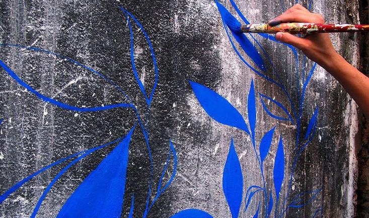
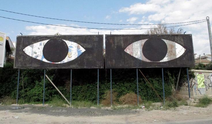
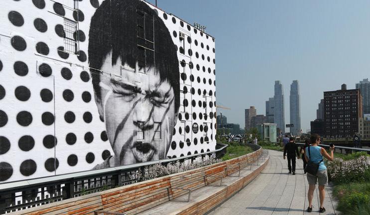
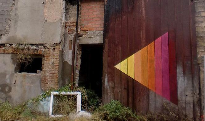
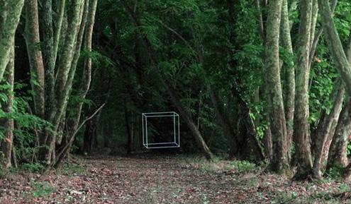
There are numerous opportunities to build partnerships within the community with the goal of implementing this ambitious plan. An undertaking of this size needs to be embraced by many local organizations, with each offering the services it can provide best. For the purposes of this plan, LAND studio has compiled the following list potential partners as a launching pad to connections with others. This list is by no means exhaustive, but makes suggestions based on the following:
• Groups that can make connections to local artists
• Groups that can help facilitate community engagement
• Organizations that may be interested in providing funding or in-kind support
• Organizations that can help with ongoing maintenance
• Organizations with student populations who would benefit from learning about this process
There are also numerous potential local funders, specifically several foundations with interests related to improving the quality of life for Clevelanders, which could be part of this list. For the purposes of this plan, foundations are not named specifically as potential partners but should be seriously considered as a fundraising strategy is developed.
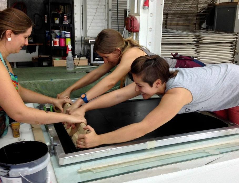
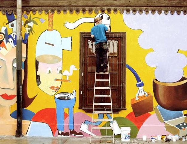
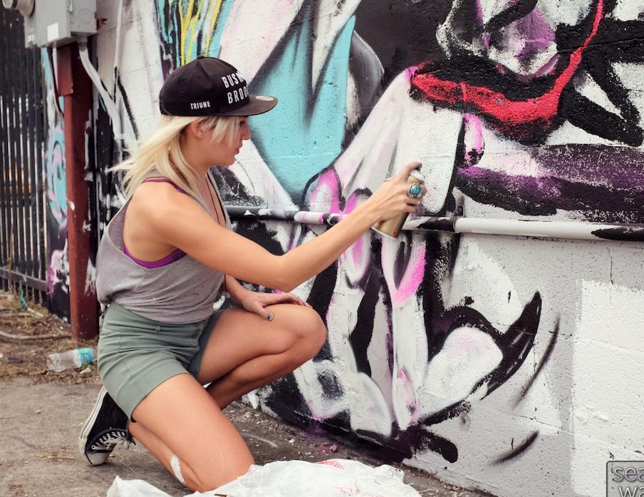
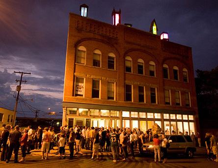
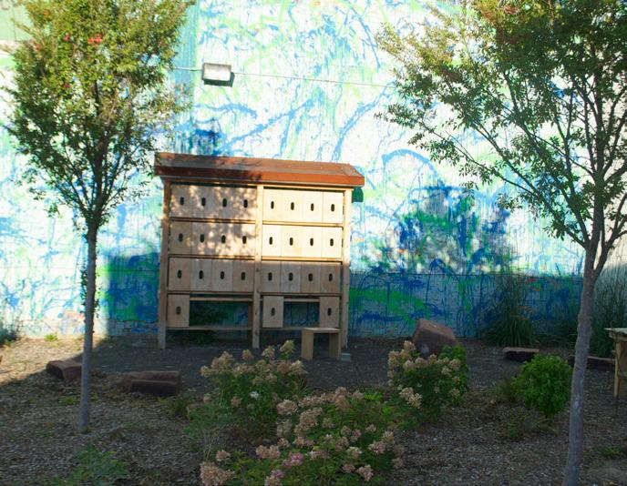
• Greater Cleveland Regional Transit Authority (RTA)
• Northeast Ohio Areawide Coordinating Agency (NOACA)
MARKETING, FUNDING, AND ADDITIONAL SUPPORT
• Cleveland Hopkins International Airport
• Cuyahoga Arts and Culture (CAC)
• Destination Cleveland
• Ohio Arts Council (OAC)
• Cleveland Institute of Art
• Cleveland Neighborhood Progress
• Cleveland School for the Arts
• Juvenile Justice Center
MAINTENANCE EXPERIENCE
• Cleveland Neighborhood Progress
• Cleveland Rotary Club
• Campus District, Inc.
• City of Brook Park
• City of Cleveland Heights
• City of East Cleveland
• City of Lakewood
• Detroit Shoreway Community Development Organization
• Downtown Cleveland Alliance
• Fairfax Renaissance Development Corporation
• Ohio City Inc.
• University Circle Incorporated
• acerbic
• Cleveland Artist Foundation
• Cleveland Print Room
• Community Partnership for Arts and Culture
• Cuyahoga County Board of Developmental Disabilities
• SPACES Gallery
• Zygote Press
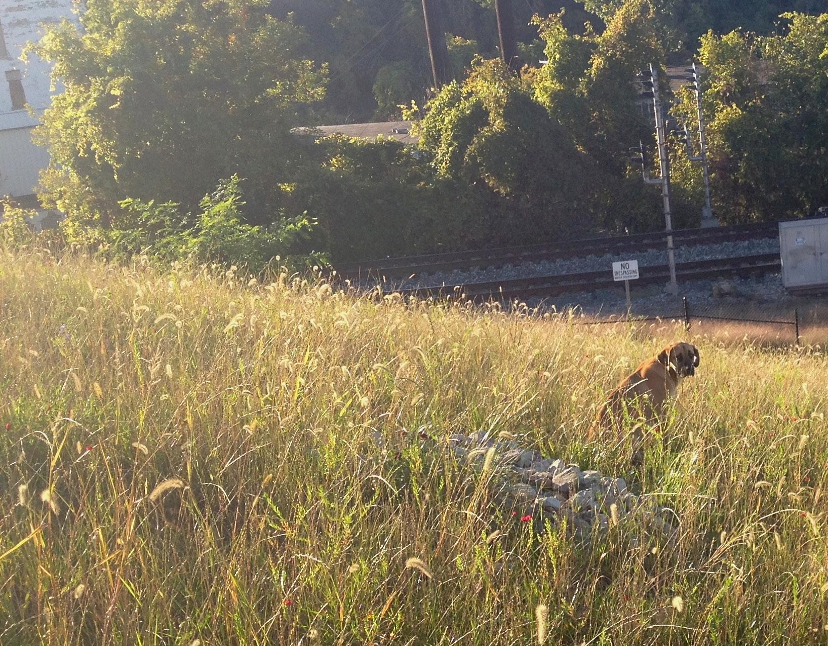
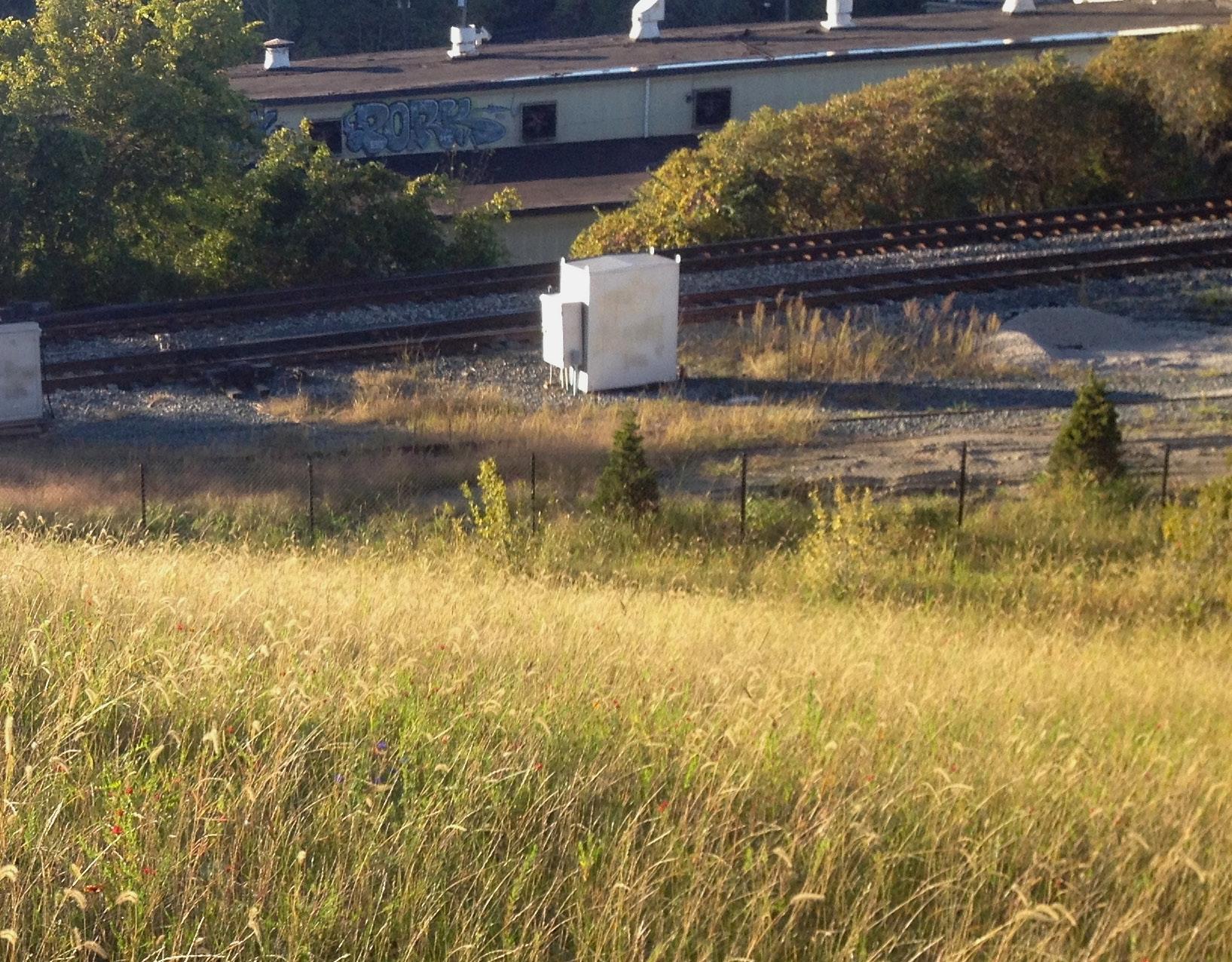
LAND studio is a private, nonprofit organization in Cleveland, Ohio. Its mission is to create places and connect people through public art, sustainable building and design, collaborative planning, and dynamic programming through four main areas of focus:
• Vibrant Downtown
• Thriving Neighborhoods
• Artful Places
• Connected Waterfronts
LAND studio resulted from the merging of two organizations, ParkWorks and Cleveland Public Art (CPA). Both ParkWorks and CPA were well-respected nonprofit organizations that improved the quality of life for Clevelanders for more than three decades. ParkWorks did this work through the creation and stewardship of greenspaces and CPA through public art. Together, these organizations have achieved an even greater impact throughout the city.

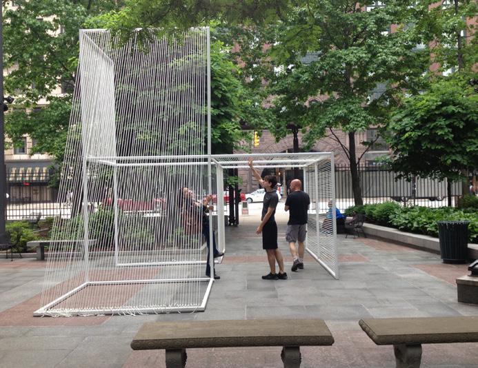
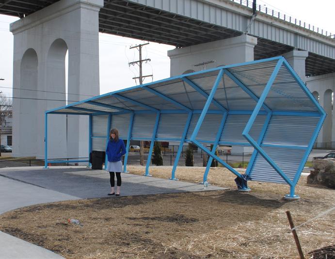
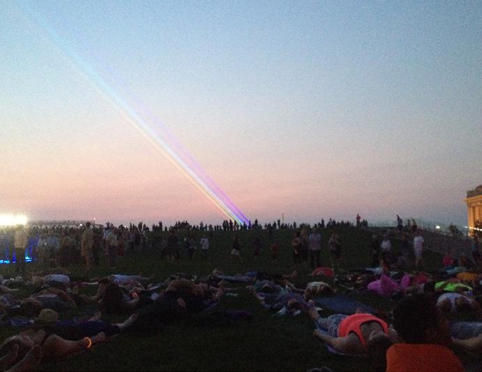
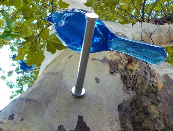
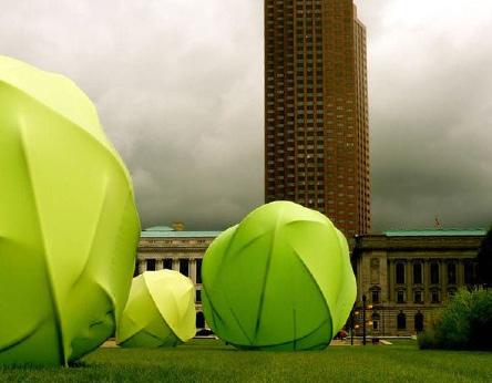
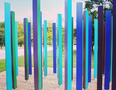
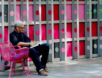
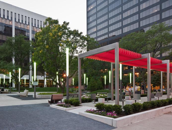
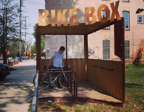
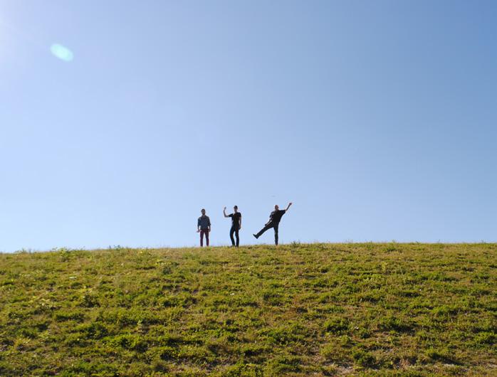
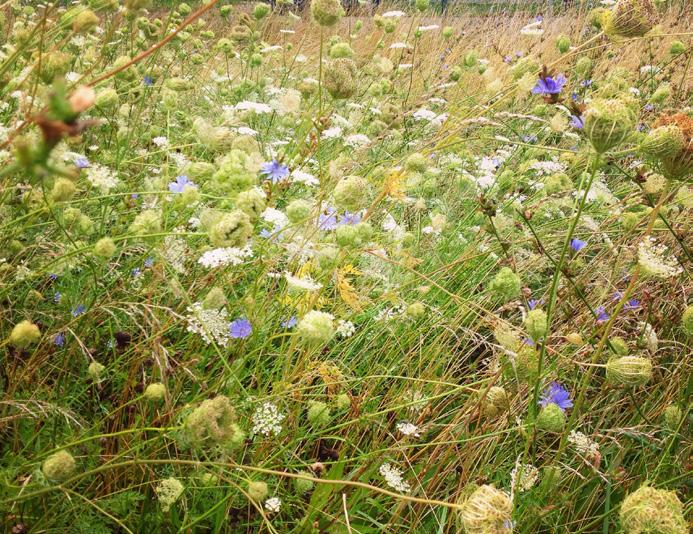
• greens Cleveland’s LANDSCAPE with attractive, active, and accessible public parks;
• inspires Cleveland’s people with temporary, permanent, and performance public ART;
• unites NEIGHBORHOODS through collaborative planning and dynamic programming; and
• enriches communities by supporting and facilitating sustainable building and smart DEVELOPMENT.
LAND studio’s vision is to make Cleveland a city filled with vibrant, places that unite, inspire, and enrich its people. The organization is dedicated to the urban core of Cleveland and has a model that can benefit the region and beyond. LAND studio carries out projects in the city’s most visible public spaces as well as its disadvantaged communities.
LAND studio’s staff of professionals includes urban planners, urban designers, graphic designers, and visual artists.
Image credits: LAND studio
All unlisted image sources can be credited to LAND studio.
P. 10: Cleveland Street Art instagram feed (bottom left image).
P. 12: Cleveland Memory Project
P. 22: Map information sourced from PRECEDENTS
Pp. 23-24: A Love Letter to the City project via marksurface.tumblr.com.
Pp. 25-26: Mural by Sam3 via am3.es (top left); installation by Jennifer Cecere via jennifercecere.com (top second from left); 10,000 Eyes campaign via popupcity.net (top third from left); HENSE artwork via theartfuldesperado.com (top right); street art by JR via ufunk.net (bottom left); installation by Tom Fruin via tomfruin.com (bottom second from left); installation by Sonja Vordermaier via sonjavordermaier.com (bottom third from left); Mural by MOMO via momoshowpalace.com (bottom right).
P. 27: A Love Letter to the City project via marksurface.tumblr.com; information from online.wsj.com, marksurface.tumblr.com, and muralarts. org.
P. 28: Images via citylab.com, thelmagazine.com; Lhota’s quote from 2012 press release: mta.info/mta-news; information from citylab.com, thelmagazine.com.
P. 29: Images via cityleaks-festival.com; information from stadtmagazin. com, cityleaks-festival.com.
P. 30: Images via facebook.com/CoSignCincy; information from americansignmuseum.org, cincinnati.com, soapboxmedia.com.
P. 31: Psychylustro by Katharina Grosse via muralarts.org/ katharinagrosse.
P. 33: National Gallery’s project photos via popupcity.net
P. 34: Lightrails by Bill FitzGibbons via billfitzgibbons.com.
P. 35: The Stockholm Metro images via twistedsifter.com.
P. 36: Amtrak Residency images via blog.amtrak.com.
P. 50: Images via struggleinc.com (top left), buzzfeed.com (top right), artrebels.com (bottom left), muralarts.org (bottom right).
P. 54: Images via momoshowpalace.com (top left), muralarts.org (top middle), booooooom.com (top right), spy-urbanart.com (bottom left), mrpilgrim.co.uk (bottom middle), patrickmurphystudio.co.uk (bottom right).
P. 56: Images via universes-in-universe.org (top left), inhabitat.com (top right), victorialucas.co.uk (bottom left), joquz.com (bottom right).
P. 58: Mural by NeSpoon via recyclart.org (top left); installation by Studio Weave via dezeen.com (top middle); images via seedpods.posterous. com (top right), streetartutopia.com (bottom left), rottenapple.us (bottom middle), notesontheroad.com (bottom right).
P. 60: installation by Claude Cormier via claudecormier.com (top right); images via greatergreaterwashington.org (bottom left), blog. saatchigallery.com (bottom right).
P. 62: Images via brookoverfinearts.wordpress.com (top left), boredpanda. org (top middle), songailo.net (top right), zoodisk.com (bottom left), archdaily.com (bottom middle), designboom.com (bottom right).
P. 64: Color Pencil Tree by Dave Rittinger via laughingsquid.com (top left); image via weburbanist.com (top right); Clouds by Olaf Breuning via publicartfund.org (bottom left); image via thejealouscurator.com (bottom right).
P. 66: Solange by Claude Cormier via claudecormier.com (top left); OaKoAk street art via streetsofbeige.blogspot.co.uk (top middle); Quercus Rosa by Henry Bruce via dailymail.co.uk (top right); sculpture by Clemens Behr via booooooom.com (bottom left); Psychylustro via muralarts. org (bottom middle); The Hear Heres by Studio Weave via dezeen.com (bottom right).
P. 68: Dispatchwork by Jan Vormann via mediamatic.net (top left); image via evoldaily on flickr.com (top middle); Russian street art via
Mural by local Cleveland artist Ryan Jaenke
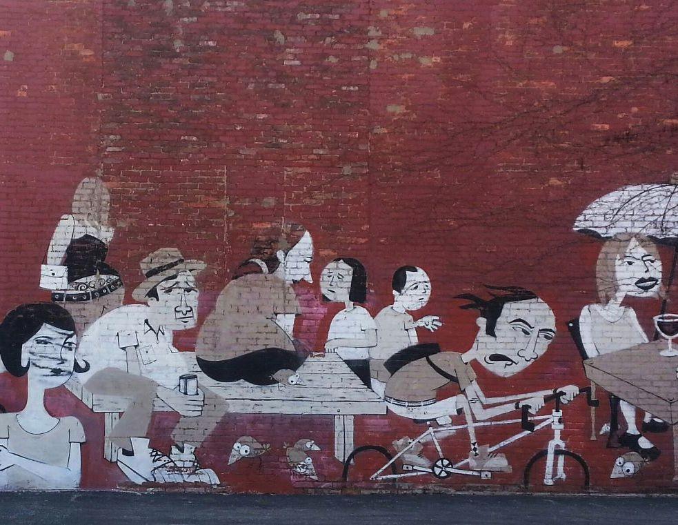
takequickbreak.com (top right); image via bloglovin.com (bottom left); street art in Axa Porto, Portugal via hipicon.com (bottom middle); image via fractalenlightenment.com (bottom right).
PRIORITY SITES
P. 72: Map information sourced from
P. 74: Image via thedesignfiles.net (top left); aquinus instagram picture (top right); mural by Sam3 via streetartutopia.com (bottom left); Louisville mural via dribbble.com (bottom right).
P. 76: sculpture by Claus Oldenburg via smosh.com (top left); image via chicago-outdoor-sculptures.blogspot.com (top right); Rubber Duck by Florentijn Hofman via flickr.com (bottom left); images via christopherlavery.com (bottom right).
P. 78: Installation by Daniel Buren via flickr.com (top left); City of Melbourne branding via behance.net (top right); High Line installation by Spencer Finch via art.thehighline.org (bottom left); installation by Rachel Hayes via rachelbhayes.com (bottom right).
P. 80: Ciné 32 by Encore Heureux via dezeen.com (top left); image by Lisa McCartney via flickr.com (top right); image via Found on somethingeverything-nothing.tumblr.com (bottom left)
P. 82: Urban nests via finecomposition.com (top left); signage design via amritpaldesign.com (top right); Bodies in urban spaces by Tanja Heikkilä via flickr.com (bottom left); installation in Prague by The Crackling Art Group via crackingartgroup.com (bottom right).
P. 84: Djerbahood Project via visualtherapyonline.com (top left); mural by HENSE via hensethename.com (top right); mural by Sam3 via sam3.es (bottom right)
P. 86: Copenhagen flipbook mural by Hyuro via fubiz.net.
P. 88: Moroccan street art via cntraveler.com (top left); mural by Maya Hayuk via mayahayuk.com (top right); mural in Phoenix via Found on
lacarmina.com (bottom left); 6th Street Mural by Sanctuary Printshop via ffffound.com (bottom right).
P. 90: Murals by Nuria Mora via nuriamora.com (top); Cape Town street art via moreaucarole.com (bottom left); street art by Swoon via facebook.com/ SwoonStudio (bottom right).
P. 92: Mural by Maya Hayuk via wow.sportmax.com (top); mural by Geoff McFetridge via visualtherapyonline.com (bottom).
P. 94: No.27: A Nod to Ed Ruscha by Maser via popupcity.net (top left); mural by Remed via fickr.com (top right); Ballroom Luminoso by Joe O’Connell and Blessing Hancock via jbpublicart.com (bottom left), mural by Add Fuel as part of the Djerbahood project via djerbahood.com (bottom right).
P. 96: Noah by Aakash Nihalani via bloodyloud.com (top left); Sheep Station by François-Xavier Lalanne via theanimalarium.blogspot.com (top right); installation by Jacob Dahlgren via jacobdahlgren.com (bottom left); installation by Misaki Kawai via contemporaryartdaily.com (bottom right).
P. 98: Mural by Molly Dilworth via thinkbiggersanjose.blog.com (top left); Bayview Rise conceived by Laura Haddad and Tom Drugan and painted by R.B.Morris III via flickr.com (top right); mural by CitéCréation via dailymail. co.uk (bottom left); Panorama by Vhils via visualtherapyonline.com (bottom right).
P. 100: Walk the Line by HASSELL via worldlandscapearchitect.com (top left); sculpture by Craig Langager via buffaloah.com (top right); Puls by HC Gilje via flickr.com (bottom left); installation by Franz Ackermann and GeorgBrauchie-Ring via pictify.com (bottom right).
P. 102: Mural by Maya Hayuk via mayahayuk.com (top left), Dessine moi un arbre via rebelart.net (top right); mural by Blu via blublu.org (bottom left); mural by Hyuro via artrebels.com (bottom right).
P. 104: Photo by Jukie Bot via flickr.com (top left); Shoof (Tunisia) as part of the Djerbahood project via djerbahood.com (top right); mural by Eltono via urbanitewebzine.com (bottom left); image via messynessychic.com (bottom right).
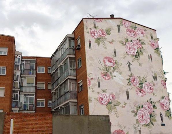
P. 106: Mural by Sam3 and Limow via limow.blogspot.com (top); mural by Sam3 via sam3.es (bottom).
P. 108: Vingt-trois disques évidés plus douze moitiés et quatre quarts and Huit Carrés by Felice Varini via varini.org (top); image via commarts.com (bottom left); mural by Seth via thisiscolossal.com (bottom right).
P. 110: Mural by Shepard Fairey via wallsofla.com (top left); Mural by Millo via millo.biz (top right), Jurmo by 3KTA via flickr.com (bottom).
P. 112: Mural by Neli0 via thecoolist.com (top); mural by Barry McGee via visualtherapyonline.com (bottom).
P. 114: Image via logicaecologica.es (top left); lighting by Ross De Alessi via cleveland.com (top right); Ohio Star Block by United Seniors of Athens County via athensohio.com (bottom).
P. 116: Installation by Spidertag via spidertag.wordpress.com (top), image via patsaunders.travellerspoint.com (bottom left), mural by VHILS via alexandrefarto.com (bottom right).
P. 118: Movement Cafe by Morag Myerscough via creativereview.co.uk (top); street art by Ben Eine via pictacular.co (bottom left); The Weeping Wall Inside Us All by Claire Fontaine and Karl Holmqvist via pomeranzcollection.com/(bottom right).
P. 120: Image via wheninmanila.com (top), image via colleenburke.net.au (bottom).
P. 122: The Opera House by Aakash Nihalani via mymodernmet.com (top); mural by Sébastien M via behance.net (bottom).
P. 124: Heil by Escif In Moscow via urbanitewebzine.com (top left), TXTual Healing by Paul Notzold via citylab.com (top right); Heavy Distribution by Elian via ffffound.com (bottom left); image via ilovetypography.com (bottom right).
P. 126: Lucky Nine Facade by Jamie Brown graphicambient.com (top left); DO NOT WORRY by Martin Creed via amandinealessandra.com (top
right); mural by Street Against via flickr.com (bottom left); mural by Etam Cru via thisiscolossal.com (bottom right).
P. 128: Love Letter to Brooklyn by ESPO via blog.vernaculartypography.com (top); Somos Luz by Boa Mistura via designboom.com (bottom).
P. 130: Installation by RecStores via inspirededesign.blogspot.gr (top left); lighting installation by Asbjorn Skou via inhabit.com (top right); C/Loud Project by Benjamin Løzninger via collabcubed.com (bottom left), image via nevernotgoing.com (bottom right).
P. 132: Paris’ Rainbow Kindergarten via apartmenttherapy.com (top left); MWM Crystals And Lasers Paris mural by Matt W. Moore via graffuturism. com (top right), rendering for Ludlow via LAND studio; mural by Sly2 via mymodernmet.com (bottom right).
Pp. 133-134: Monster67 by kiyoshimachine via flickr.com.
Pp. 135-136: Bowery Houston mural by Maya Hayuk via arrestedmotion.com.
P. 137: Ace Hotels via curbly.com (top left); image via clevelandsgs.com (top right); Movement Cafe by Morag Myerscough via creativereview.co.uk (bottom left); image via clevelandsgs.com (bottom right).
P. 138: City Xpressionz 2006 via urbanohio.com (top left and right); RVA Street Art Festival via theactivesoul.wordpress.com (bottom left); CityLeaks Festival via ksta.de (bottom right).
P. 139: Graffiti Wall of Fame via spottedbylocals.com (top left); mural by Sam3 via sam3.es (top right); RVA Street Art Festival via theactivesoul. wordpress.com (bottom left); mural by Mike Giant x Apexer via streetartsf.com (bottom right).
P. 140: Images via eltono.com (top images), LAND studio image (bottom left), Inside Out by JR via demotix.com (bottom right).
Pp. 141-142: Artwork by Eltono via eltono.com.
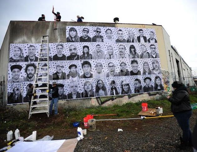
Pp. 145-146: Good Night by Anton Marrast via theartofanimation.tumblr.com (top left); installation by Erwin Wurm via flickr.com (top second from left); C/ Loud Project by Benjamin Løzninger via collabcubed.com (top third from left); Work 2012 by Kimiyo Mishima via flickr.com and tokyoartbeat.com (bottom left); CMP Block Taiwan via thisiscolossal.com (bottom second from left), The Sign Guy sticker via LAND (bottom third from the left); mural by mobstr via blog.vandalog.com (bottom right).
P. 150: Image via nuriamora.com (first row left); street art by E1000 via sodapopgirl.net (first row middle); Work by Sou Fujimoto via designboom.com (top row right); mural by Sam3 via sam3.es (second row left); OX installation via postertime.blogspot.fr (second row middle); MisterTheFreak mural via theartcake.com (second row right); art by Luke Ramsey via lukeramseystudio. com (third row left); corrupted from user nickmann via flickr.com (third row middle); into the woods from user nickmann via flickr.com (third row right); Inside Out by JR via fatcap.com (fourth row left); mural by Nuria Mora via plentyofcolour.com (fourth row middle); street art by Geometric Bang via booooooom.com (fourth row right).
P. 151: Zygote Press’s INK House via kickstater.com (first row left); Jim Avignon at work in Lima (image © Frank Kalero) via brooklynstreetart.com (second row left); street artist, Elle, via seanwashere.com (third row left); image via blog.cleveland.com/metro/2009/04/cuyahoga_county_juvenile_court_1.
html (third row right); image via spacegallery.org (fourth row left); image via clevelandprintroom.com (fourth row right).
LAND STUDIO
Pp. 155-156: Birds Nest by Mark Reigelman via markreigelman.com (second row left).
P. 160: Vintage floral wall paper mural by Escif in Madrid via whudat.de.
P. 162: Inside Out by JR via demotix.com.
P. 164: Image via LAND studio.
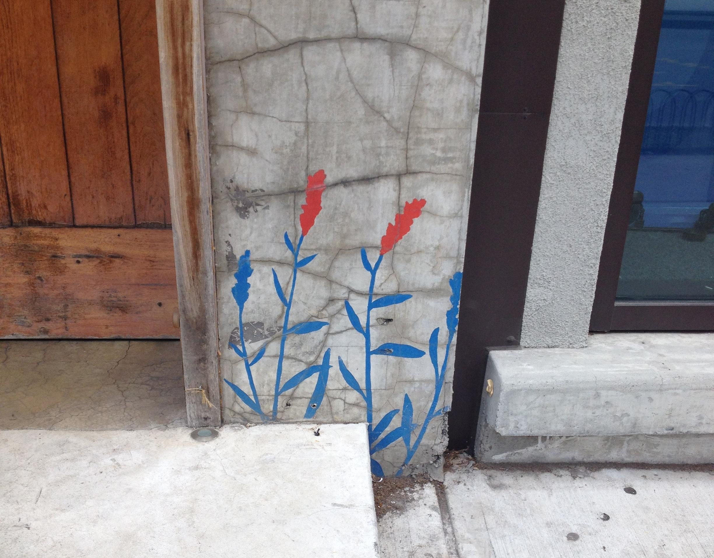
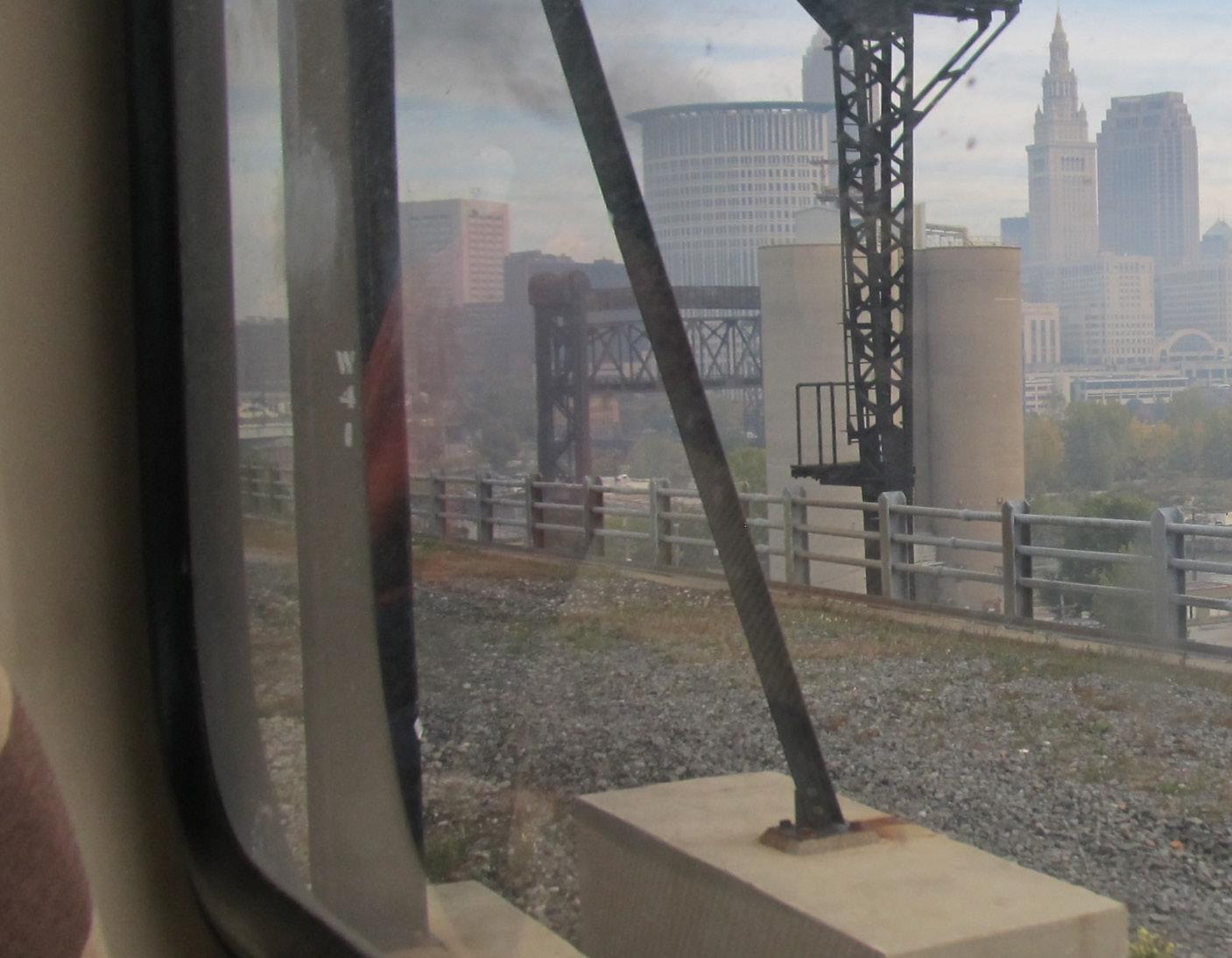
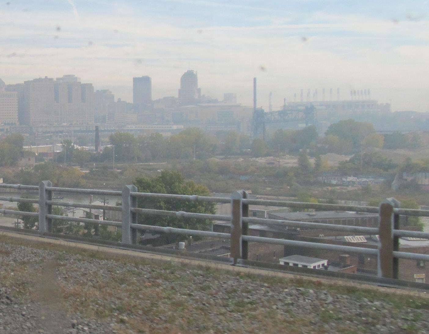
LAND studio staff:
Greg Peckham, Managing Director
Tiffany Graham, Project Director
Erin Guido, Project Manager
Vince Reddy, Project Manager
Sarah Siebert, Project Manager
Ann Zoller, Executive Director
Anna Barchick-Suter, Intern
Special thanks to the City of Cleveland Department of Economic Development
Tracey Nichols, Director
Briana Butler, Economic Development Fellow
Additional community input:
Hannah Belsito, Destination Cleveland
Maribeth Feke, RTA
Grace Gallucci, NOACA
Edward Peppers, RTA
Linda Warren, Cleveland Neighborhood Progress