
4 minute read
9. COORANBONG AND AVONDALE EDUCATION PRECINCT


North Cooranbong will continue to grow with the development of the Watagan Park residential estate. Additional land is available for residential development west of Freemans Drive and includes several parcels of land zoned RU6 – Transition, meaning its future use is subject to further investigation and consultation with the community.
Existing RU4 – Primary Production land located south of Newport Road is identified in Council’s Local Strategic Planning Statement as a growth investigation area. While there are some environmental constraints, the area is mostly cleared and largely unaffected by flooding. The area has good access to the M1 and may be suitable for expanded use for rural employment or potentially more housing.
Advertisement
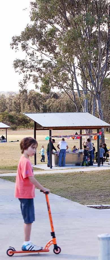
Avondale University is expected to grow its presence within the region supporting the expansion and development of the broader area
10. DORA CREEK
Dora Creek is a unique lake and river-side community immediately north of Morisset. While serviced by the intercity train network and regional bus network, development around Dora Creek is constrained by flood-prone land. Council has developed the Dora Creek Area Plan to manage future development, flood risk and rising lake levels. It is expected most future growth will be limited to the Coorumbung Road residential subdivision currently under construction.
Transport for NSW is investigating options to upgrade the intersection of Main Road (B53), Dora Street and Wamsley Street, including constructing into a vibrant and diverse community. The precinct, which contains the current site of the University, will provide a more diverse range of educational opportunities leveraging the city’s unique attributes and strategic advantages. a separate walking and cycling bridge across Dora Creek, improving local access and contributing to the delivery of the R3 Belmont to Morisset regional cycling route.
The Morisset to Cooranbong section of the R7 Morisset Peninsula to Cooranbong regional cycling route, via the Avondale education precinct, is near completion with a new shared pathway on Freemans Drive and a new bridge across Dora Creek to safely connect Victory Parade with Stockton Street. Council’s Walking, Cycling and Better Streets Strategy identifies a potential future off road cycling link to Awaba Mountain Bike Park.
Regional and state studies show that most of the city’s productive rural agricultural land is located in Martinsville. Council proposes to protect this land for ongoing rural production.
Land with limited environmental value adjacent to the M1 Motorway may be subject to longterm investigation beyond the proposed 20year timeframe of the Morisset Place Strategy. Future development in this area should consider its location adjacent to Muddy Lake and the appropriate maintenance and enhancement of the lake and its tributaries.
11. WYEE POINT
Wyee Point is an older lakeside community bounded by environmental land high in biodiversity value. Part of the historical Ramsgate Estate paper subdivision was rezoned in 2022 for residential and environmental uses. The future re-use or redevelopment of the Morisset Hospital site may offer opportunity to improve walking and cycling access between Wyee Point and Morisset.
12. WYEE AND SOUTH OF BUSHELLS RIDGE ROAD
Wyee is an important growth area serviced by the intercity train network. Council will continue to actively work with landowners to plan for the future of the Wyee paper subdivision next to Wyee train station. There are several active planning proposals to rezone larger lifestyle lots to residential housing. A proposal for the Morisset Place Strategy is to improve strategic planning for the broader Wyee area, and to collaborate with Central Coast Council and the NSW Government to coordinate planning either side of the local government area boundaries at Bushells Ridge Road.
There are important native vegetation corridors necessary to maintain the viability of threatened species populations across the Lake Macquarie and Central Coast city boundary. These have been mapped and require protection, conservation and enhancement in future plans.
13. ERARING TRANSITION AREA
Owners of Eraring Power Station, Origin Energy, plan to cease coal-fired power operations by 2025. With existing electrical distribution, road and rail infrastructure, the 1100-hectare site provides a unique opportunity for future energy-related and employment land uses. Council proposes to continue to work collaboratively with current and future landowners and the NSW Government to secure local employment opportunities, and to grow and diversify the local economy of greater Morisset. There is significant support at various levels for initiatives that embody circular economy principles through, for example, the elimination of waste, reuse and recycling of materials, and the regeneration of nature. These types of initiatives typically rely on a significant movement of resources to/from value-add locations. The same strategic connectivity advantages that make the growth area a good freight and logistics hub candidate would also provide a strong platform for a circular economy precinct.
A circular economy precinct would be more locally/ regionally-focused (as distinct from the state/ national focus of a freight hub), leveraging its connections to high-construction areas (e.g., driven by residential growth) and areas where power stations and coal mines are in transition.
The growth area benefits from its proximity to the University of Newcastle, with well-established capabilities in circular economy research. For example, in 2021, the University and Council partnered to establish a Circular Economy Living Lab, offering seed funding for new research projects drawing from industry opportunities.
4. GROWTH AREAS AND PRECINCTS
The Circular Economy Living Lab is currently working with Origin Energy to investigate opportunities for the anaerobic digestion and recycling of fly ash at the Eraring Power Station for use as a product for other industries, including construction. The anaerobic digestion process can also be used to generate energy. If the process can be proven and commercialised, this would create demand for a site to be used as a waste-to-energy facility, relying on good transport connectivity and suitable separation to sensitive uses. Forward planning to safeguard the potential for such a site would be advantageous.
The Eraring Transition Area includes buffer lands around the power station that have high environmental values. These consist of:
• some land zoned C2 – Environmental Conservation
• SP1 – Special Activities zoned land that has been identified to have high biodiversity value. This land should be clearly identified as requiring protection, conservation and enhancement in future strategies and plans.


