L. Stančo, Sh. Shaydullaev, A. Shaydullaev, A. Danielisová, T. Annaev
4. Archaeological sites in the Sherabad Oasis
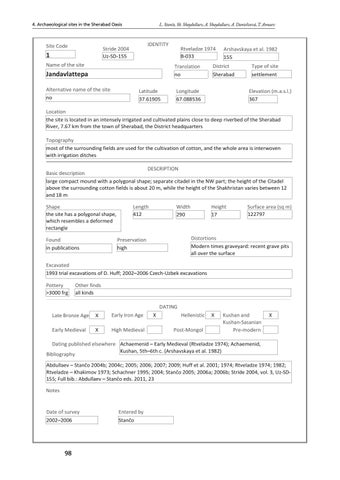
Site Code
IDENTITY
Stride 2004 Uz-SD-155
1 Name of the site
Rtveladze 1974 B-033 Translation no
Jandavlattepa Alternative name of the site no
Latitude 37.61905
Arshavskaya et al. 1982 155
District Sherabad
Longitude 67.088536
Type of site settlement Elevation (m.a.s.l.) 367
Location the site is located in an intensely irrigated and cultivated plains close to deep riverbed of the Sherabad River, 7.67 km from the town of Sherabad, the District headquarters Topography most of the surrounding fields are used for the cultivation of cotton, and the whole area is interwoven with irrigation ditches DESCRIPTION Basic description large compact mound with a polygonal shape; separate citadel in the NW part; the height of the Citadel above the surrounding cotton fields is about 20 m, while the height of the Shakhristan varies between 12 and 18 m Shape the site has a polygonal shape, which resembles a deformed rectangle Found in publications
Length 412
Width 290
Height 17
Surface area (sq m) 122797
Distortions Modern times graveyard: recent grave pits all over the surface
Preservation high
Excavated 1993 trial excavations of D. Huff; 2002–2006 Czech-Uzbek excavations Pottery >3000 frg
Other finds all kinds DATING
Late Bronze Age
X
Early Iron Age
Early Medieval
X
High Medieval
X
Hellenistic Post-Mongol
X
Kushan and Kushan-Sasanian Pre-modern
X
Dating published elsewhere Achaemenid – Early Medieval (Rtveladze 1974); Achaemenid, Kushan, 5th–6th c. (Arshavskaya et al. 1982) Bibliography Abdullaev – Stančo 2004b; 2004c; 2005; 2006; 2007; 2009; Huff et al. 2001; 1974; Rtveladze 1974; 1982; Rtveladze – Khakimov 1973; Schachner 1995; 2004; Stančo 2005; 2006a; 2006b; Stride 2004, vol. 3, Uz-SD155; Full bib.: Abdullaev – Stančo eds. 2011, 23 Notes
Date of survey 2002–2006
Entered by Stančo
98
Ukázka elektronické knihy, UID: KOS292633