


Since 2017, your support for the BC Parks Licence Plate Program has provided funding for more than 800 parks projects in B.C.
Every purchase of a BC Parks licence plate contributes to:
• Making parks more accessible for all
• Improving habitats and funding wildlife research
• Using technology to enhance visitor experience
• Funding the Student Ranger Program
• Supporting Discover Parks Ambassadors and education
• And other initiatives that make parks in B.C. better
Thank YOU for making all this possible!

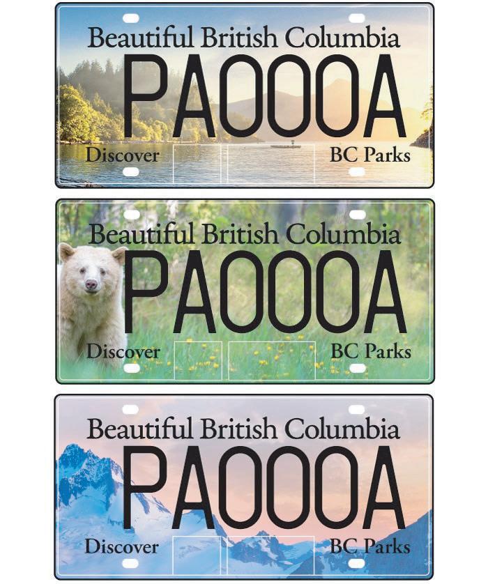
For information about the BC Parks Licence Plate Program, visit bcparks.ca/licenceplates or contact an ICBC broker near you.
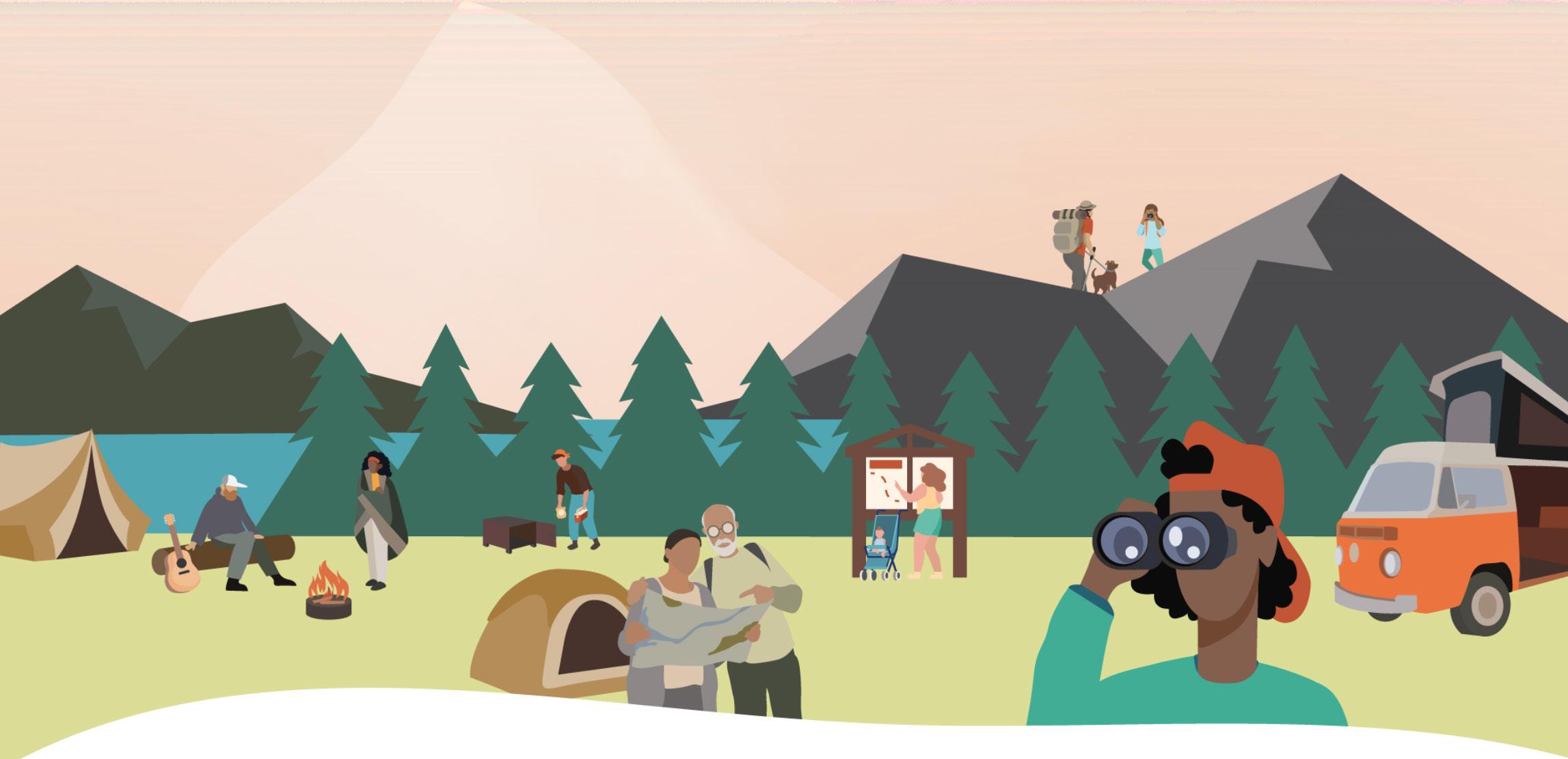
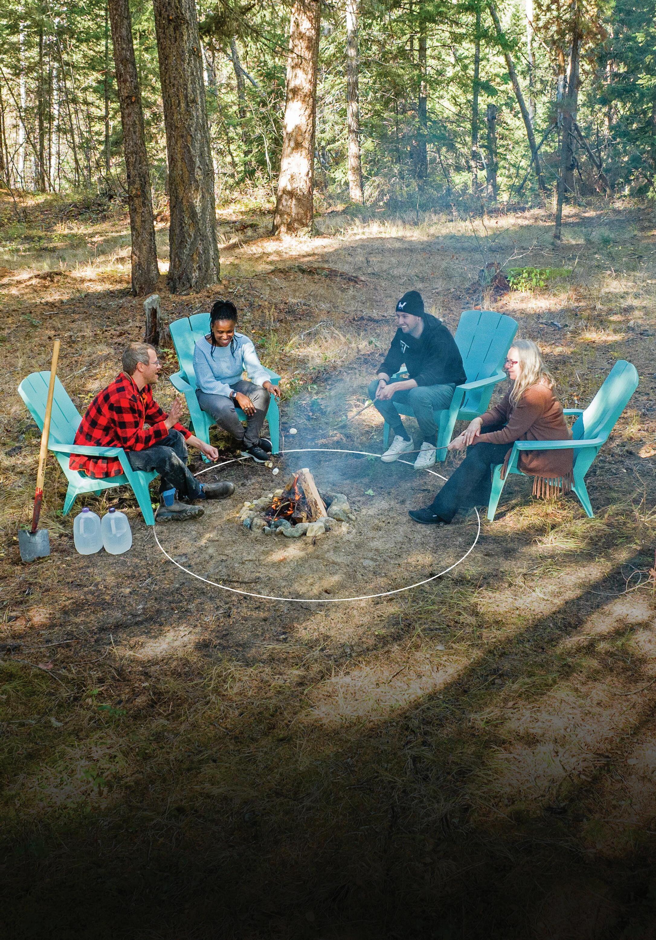
Experience FREE family-friendly activities for all ages in British Columbia’s parks!
• Discover Parks Ambassadors: Guided hikes, walks, and amphitheater programs
• iNaturalist app: Discover local flora and fauna
• Annual Parks Day: Join us on July 19, 2025
• Education booklets: Activities for explorers ages 3-12+*
• Jerry’s Rangers: Interpretive programs for ages 5-12
• Jerry’s Nature Quest: Self-guided scavenger hunt*
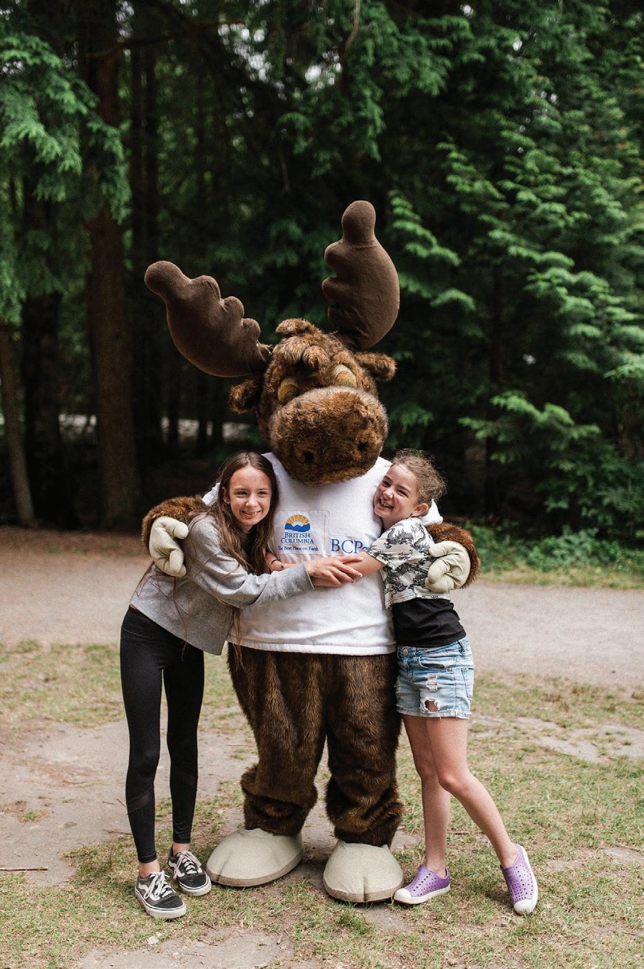

Find schedules at discoverparks.ca/activities and follow us on Facebook and Instagram @yourbcparks
* Ask your local park operator or download at bcparks.ca/plan-your-trip/things-to-do/education/#activities-for-kids


Greetings to our new and returning campers!
It is with great excitement that we present to you the 2025 edition of Go Camping BC. Whether this is your first time picking up our guide or you’ve relied on it year after year, we’re thrilled to be part of your journey in exploring British Columbia’s incredible provincial parks. BC is a land of boundless natural beauty, divided into nine diverse regions, each offering unique outdoor experiences. From serene coastal shores to rugged mountain landscapes, the opportunities to explore, learn, and reconnect with nature are truly endless. No matter how many times you venture into BC’s great outdoors, there’s always something new to discover. And if you’re looking for ways to enjoy our parks without the commitment of camping overnight, you’ll find numerous trails, beaches, and picnic areas open to all visitors, free of charge. These day-use areas provide a perfect opportunity to experience BC’s natural wonders for a day or even a few hours.
The past year has brought its challenges, but also countless moments of adventure, resilience, and appreciation for the parks we love. As we look ahead to 2025, we are reminded of the importance of our collective efforts in preserving these natural spaces and supporting the communities that depend on them. By choosing to camp in BC’s provincial parks, you contribute to the stewardship of these treasured landscapes and the businesses and individuals who make outdoor recreation possible.
If you see a Park Operator during your travels, take a moment to say hello—we love hearing your stories and sharing in the joy that these parks bring to so many. Thank you for your continued support of Go Camping BC. This guide is made possible through the dedication of many contributors, including our valued partnership with BC Parks. For more information, trip planning resources, and updates, please visit our website at gocampingbc.com and individual park pages at bcparks.ca.
Here’s to a memorable and adventure-filled 2025 camping season!
Cory Munk President, BC
Go Camping BC –2025
Provincial Parks Visitor’s Guide is published by Accelerate Communications Group Inc. in cooperation with the BC Society of Park Operators and BC Parks.
Publisher: ©2025
Accelerate Communications Group Inc.
Email: gocampingbc@shaw.ca


In a rapidly changing world, more people than ever are coming to understand the importance of time spent in our incredible outdoor spaces. This increase in popularity however does not come without consequence; and out of an effort to positively direct those impacts, the Campers Code was born.
The Campers Code was the product of a large group of non-profit organizations and government agencies in BC and across Canada identifying the need for a tool to help increase awareness about respectful and safe behaviour when recreating in natural spaces. Collaborating partners include but are not limited to: Camping and RV BC Coalition, BC Lodging and Campgrounds Association, BC Parks, BC Society of Park Operators, Parks Canada, Recreation Sites and Trails BC, and WildSafeBC. All in agreement that we want to inspire instead of enforce better behaviour.
Aiming to reach the same level of success and recognition as the Alpine Responsibility Code, nine key messages were identified, hoping to inspire a shared understanding of appropriate behaviour. It aims to create a camping culture that is rooted in common sense, respect, and sustainability. Sharable materials were created and distributed, a website launched; but we’re still looking to grow the reach of the messaging further.
This is where you come in. First, do you know the code? They seem a little common sense, but did you know them all? Second, take the pledge. You know how to camp responsibly, but knowing how and doing so are two different things, aren’t they? Third, share the code. We’re sharing our beautiful natural spaces with more people than ever before, and the more of us who abide by the code, the better.
• Adams Lake - TH - - - - - - - - - - - - - - - - 51
• Alexandra Bridge - TH - - - - - - - - - - - 49
• Alice Lake - LM ---------------- 29
• Allison Lake - OK - - - - - - - - - - - - - - - 36
• Anderson Flats - SK ------------ 57
• Arrow Lakes - KO -
- - 43
• Babine Mountains - SK ---------- 57
• Bamberton - VI ---------------- 23
• Bear Creek - OK --------------- 38
• Beatton - PE ------------------ 66
• Beaumont - OM- - - - - - - - - - - - - - - - - 61
• Beaver Creek - KO -------------- 41
• Bellhouse, Galiano Is. - VI -------- 26
• Big Bar Lake - CA -------------- 54
• Bijoux Falls - OM - - - - -
• Birkenhead Lake - LM -
- - - 61
- 29
• Blanket Creek - KO ------------- 43
• Bodega Ridge, Galiano Is. - VI ----- 26
• Bowron Lake - CA -------------- 54
• Boundary Creek - OK ----------- 39
• Boyle Point - VI ----------------- 14
• Brandywine Falls - LM - - - - - - - - - - - 29
• Bridal Veil Falls - LM ------------ 32
• Bridge Lake - CA --------------- 54
Region
Region 2 -
Region 3 -
Region
Region 5 -
Region 6 -
Chilcotin
Region 7 -
Region 8 - Omineca
Region 9 -
• Bromley Rock - OK ------------- 36
• Broughton Archipelago Marine - VI 14
• Buckinghorse River Wayside - PE -- 64
• Bull Canyon - CA --------------- 54
• Burgoyne Bay, Salt Spring Is. - VI -- 26
• Cape Scott - VI ----------------- 15
• Carmanah Walbran - VI ---------- 23
• Carp Lake - OM - - -
62
• Cathedral - OK ---------------- 36
• Champion Lakes - KO ----------- 42
• Charlie Lake - PE - - - - - - - - - - - - - - - 66
• Chasm - CA - - - - - - - -
54
• Chilliwack Lake - LM ------------ 32
• Christina Lake - OK - - - - - - - - - - - - - 39
• Clearwater Lake/Azure Lake - TH -- 48
• Clearwater Lake/Falls Creek - TH -- 48
• Cody Caves - KO - - - -
- 42
• Conkle Lake - OK -------------- 40
• Coquihalla Canyon - LM --------- 32
• Cowichan River - VI - - - - - - - - - -
• Crooked River - OM-
• Cultus Lake - LM - -
23
62
32
• Cypress - LM ------------------ 29
• Desolation Sound Marine Park - LM 27
• Downing - CA-
• Gowlland Tod - VI - - - - - - - - - - - - - - - 24
• Green Lake - CA --------------- 54
• Grohman Narrows - KO ---------- 42
• Gwillim Lake - PE- - - - - - - - - - - - - - - 67
• Halkett Bay - LM --------------- 27
• Heather-Dina Lakes - OM -------- 62
• Helliwell, Hornby Is. - VI ----------- 15
• Helmcken Falls - TH ------------ 48
• Hemer - VI - - - - - - - - - - - - - - - - - - - - - 19
• Herald - TH -------------------- 51
• Horne Lake Caves - VI - - - - - - - - - - - - 19
• Horsefly Lake - CA- - - - - - - - - - - - - - 54
• Inkaneep - OK ----------------- 38
• Inland Lake - LM --------------- 27
• Jackman Flats - OM - - - - - - - - - - - - - 63
• James Chabot - KO ------------- 45
• Jedediah Is. Marine - VI ----------- 19
• Jewel Lake - OK - - - - - - - - - - - - - - - - 40
• Jimsmith Lake - KO ------------- 46
• Joffre Lakes - LM -
- 30
• John Dean - VI ----------------- 24
• Johnstone Creek - OK ----------- 40
• Juan de Fuca - VI --------------- 24
• Juniper Beach - TH ------------- 50
• Kalamalka Lake - OK - -
35
• Kekuli Bay - OK ---------------- 35
• Kennedy Lake - VI -------------- 20
• Kentucky-Alleyne - TH - - - - - - - - - - - 50
• Kettle River - OK --------------- 40
• Kickininee - OK ---------------- 38
• Kikomun Creek - KO ------------ 46
• Kinaskan Lake - SK ------------- 58
• Kiskatinaw - PE ---------------- 66
• Kleanza Creek - SK ------------- 57
• Kokanee Creek - KO ------------ 42
• Koksilah River - VI -------------- 24
• Kootenay Lake - KO- - - - - - - - - - - - - 43
• Lac La hache - CA -------------- 54
• Lac Le Jeune - TH -------------- 52
• Lakelse Lake - SK -------------- 57
• Liard River Hot Springs - PE ------ 64
• Little Qualicum Falls - VI --------- 20
• Lockhart Beach - KO - - - - - - - - - - - - 46
• Loveland Bay - VI - - - - - - - - - - - - - - - - 15
• Mabel Lake - OK --------------- 35
• MacMillan - VI ----------------- 20
• Mahood Lake - TH -------------- 49
• Main Lake - VI ------------------ 16
• Mansons Landing, Cortes Isl. - VI --- 16
• Maquinna Marine - VI ----------- 20
• Mara - OK -------------------- 35
• Marble Canyon - TH ------------ 50
• Martha Creek - KO ------------- 43
• McConnell - TH ---------------- 52
• McDonald Creek - KO ----------- 43
• Meziadin Lake - SK ------------- 58
• Miracle Beach - VI --------------- 16
• Moberly Lake - PE -------------- 67
• Monck - TH ------------------- 50
• Monkman - PE- - - - - - - - - - - - - - - - - 67
• Montague Harbour, Galiano Is. - VI 26
• Morden Colliery Historic - VI ------ 20
• Morton Lake - VI ---------------- 17
• Mount Assiniboine - KO --------- 45
• Mount Fernie - KO -------------- 45
• Mount Maxwell, Salt Spring Is. - VI 26
• Mount Robson - OM ------------ 63
• Mount Seymour - LM ----------- 30
• Moyie Lake - KO --------------- 46
• Muncho Lake - PE -------------- 64
• Murrin - LM ------------------- 30
• Murtle Lake - TH --------------- 49
• Naikoon - SK ------------------ 59
• Nairn Falls - LM - - - - - - - - - - - - - - - - 30
• Nancy Greene - OK ------------- 40
• Nisga’a Memorial Lava Bed - SK - - - 57
• Niskonlith Lake - TH ------------- 51
• Norbury Lake - KO ------------- 46
• North Thompson River - TH ------ 49
• Okeover Arm - LM -------------- 28
• Okanagan Lake - OK ------------ 38
• Okanagan Mountain - OK - - - - - - - - 38
• One Island Lake - PE - - - - - - - - - - - - 67
• Otter Lake - OK - - - - - - - - - - - - - - - - 37
• Paul Lake - TH - - - - -
52
• Paarens Beach - OM - - - - - - - - - - - - 62
• Peach Arch - LM --------------- 32
• Petroglyph - VI- - - - -
21
• Pine Le Moray - PE ------------- 67
• Pinnacles - CA - - - - - - - - - - - - - - - - - 54
• Pirates Cove, De Courcy Is. - VI - - - - 26
• Plumper Cove Marine - LM ------- 28
• Porpoise Bay - LM -------------- 28
• Porteau Cove - LM -------------- 31
• Premier Lake - KO -------------- 45
• Prudhomme Lake - SK ---------- 57
• Puntchesakut Lake - CA --------- 55
• Purden Lake - OM -------------- 62
• Pure Lake - SK ---------------- 59
• Pyramid - TH ------------------ 49
• Rathtrevor Beach - VI ------------ 21
• Rearguard Falls - OM- - - - - - - - - - - - 63
• Rebecca Spit, Quadra Is. - VI ------- 17
• Red Bluff - SK ----------------- 58
• Roberts Creek - LM - - - - - - - - - - - - - 28
• Roberts Memorial - VI ----------- 21
• Roche Lake - TH --------------- 52
• Rolley Lake - LM --------------- 32
• Rosebery - KO - - - - - - - - - - - - - - - - - 44
• Rosewall Creek - VI -------------- 21
• Ross Lake - SK ---------------- 58
• Ruckle, Salt Spring Is. - VI - - - - - - - - 26
• Saltery Bay - LM --------------- 28
• Sandy Is. Marine., Denman Is. - VI --- 17 • Sargeant
Son Ltd. 2
Sea to Sky Parks 28, 33
Frontcountry campsite reservations can be made up to four (4) months in advance of your arrival date.
Campsite reservations can be made at BC Parks either online at camping. bcparks.ca (available 24 hrs/day), or through the Call Centre ($5 surcharge applies to transactions) Toll free 1-800-689-9025 (Canada and the US.) or 1-519-858-6161 (internationally)
7 days/week, 7am-7pm (PST). Open holidays except December 25 and January 1.
You must pay all camping fees and transaction fees in advance to secure your booking.
When booking your reservation, you must specify the ‘named occupant’ who will be your official reservation holder.
This named occupant can be yourself or another person, but they must be present when your party arrives and throughout your stay.
You can change or cancel your reservation via camping.bcparks.ca or by calling 1-800-689-9025 (1-519-858-6161 internationally. Visit https://bcparks.ca/reservations/ frontcountry-camping/ for details.
Campsites that cannot be reserved are offered on a first come, first serve basis.
Of approximately 10,700 BC Parks campsites, 55% are reservable and 45% are available on a first come, first serve basis (FCFS). Most campgrounds with reservable sites also offer FCFS sites. In many cases, reservable sites that have not been booked can also be used on a first come, first serve basis. Before any visit, check bcparks.ca for updated operating dates and advisories.
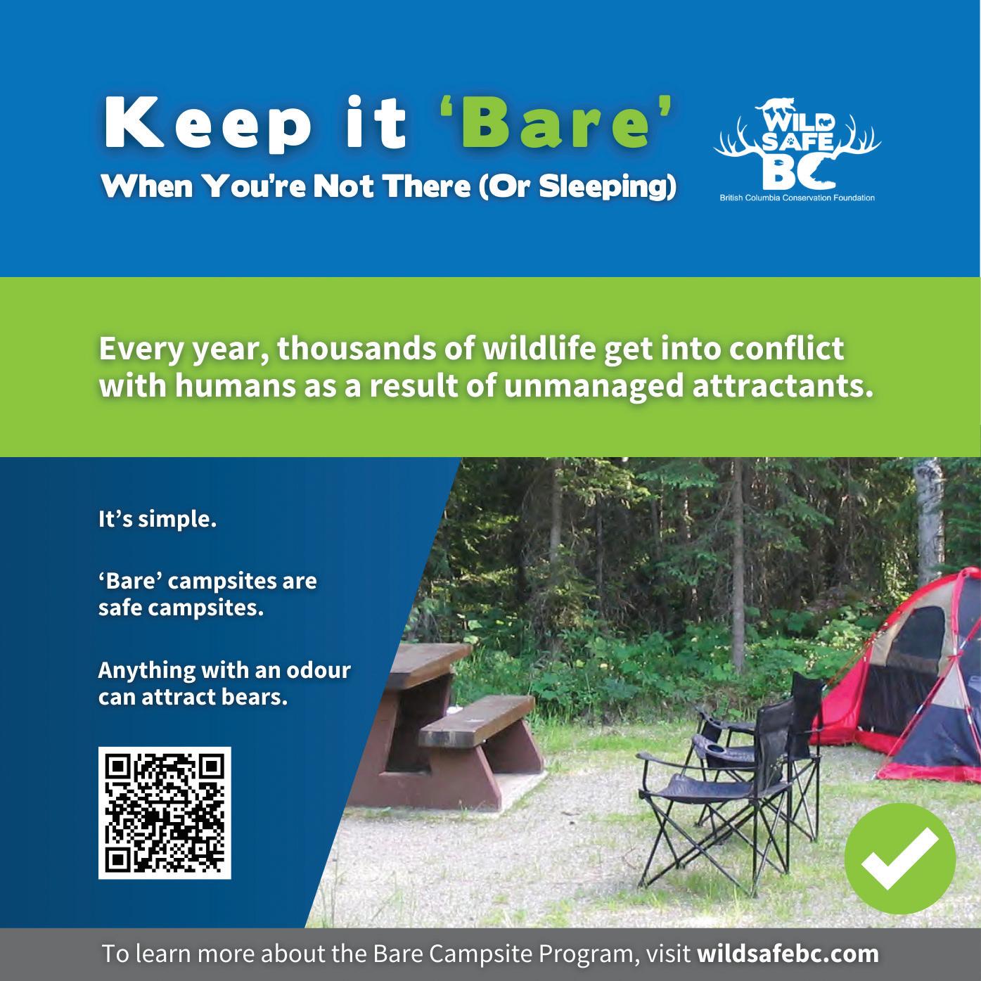
If garbage and other waste matter is not disposed of properly, it can damage the environment and create dangerous wildlife encounters. Use the appropriate recycling, garbage, and wastewater disposal facilities, whenever available.
If these are not accessible, pack out your waste. Take all food scraps and any hazardous materials with you when you leave. This includes recyclable items and food waste left over from cooking, eating, and washing up.
If you have items that cannot be recycled at the park but can elsewhere, please pack them out. For example, parks cannot recycle soft plastics, but some stores and recycling depots can.
Use public washrooms where available. If you are in a backcountry area with no facilities, bury human waste and toilet paper. It should be buried at least 20 cm deep and 70 m from any water source. Urinate away from vegetation and water.


Wildfires represent a growing problem in British Columbia. Fires started by human activity can quickly burn out of control. Uncontrolled wildfires pose an extremely serious risk to the environment, human life, and property.
Do not smoke or vape
Smoking or vaping of any kind is prohibited in all areas of parks except registered frontcountry campsites in some campgrounds. Because of the growing wildfire risk, these rules are strictly enforced.
Be careful with campfires
Campfires are only allowed in designated fire pits. With the growing wildfire risk, temporary campfire bans are becoming more common. Always check the park’s webpage before your visit, to see if a campfire ban is in effect.
Never leave your campfire unattended. Leaving a campfire unattended is a serious offence. Completely extinguish fires and check that ashes are cool before leaving the area or going to sleep.
If you see a wildfire, report it immediately by calling 1-800-663-5555 (or *5555 on a mobile phone).
Vehicle accessible camping facilities
Wilderness/backcountry/walk-in camping
Group campsites
Overflow campground
Cabins, yurts or lodges for public use
Picnic sites
Wheelchair accessible
Water
Flush toilets
Pit toilets
Showers
Sani-station/dump facilities
Electricity
Campfires allowed
Interpretive programs/Nature House
Playground
Beach
Swimming
Scuba diving/snorkeling
Canoeing/kayaking
Windsurfing
Waterskiing
Stand up paddle board
Boat launch
Anchorage
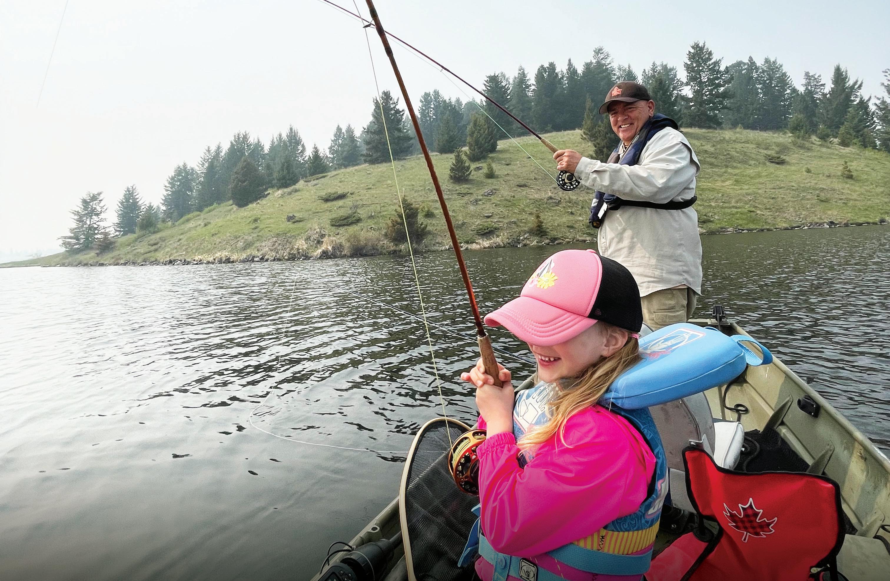
Fishing
Hiking
Bicycles
Horseback riding
Hunting
Rock climbing
Caving/spelunking
No dogs allowed
Pets must be on-leash
Dog off-leash area
Wildlife viewing
Winter recreation
Wi Fi
Credit cards accepted
Cash Only
Reservations
Scan to learn more
0.5m
0.5m
• burns material in one pile no larger than 0.5 metre in height and 0.5 metre in width, and
• is lit, fuelled or used
• by any person for a recreational purpose, or
• by a First Nation for a ceremonial purpose.
You must have a fuel break the surrounding area of debris and anything combustible to prevent of control.
than 0.5 metre high and 0.5 metre wide.
pit or other non-
can help prevent it from spreading.
You must be equipped with at least eight litres of water or a hand tool


Vancouver Island and the Southern Gulf Islands provide an amazing diversity of endless sandy beaches, awe-inspiring old-growth forests, and a rich abundance of wildlife. You will find provincial parks with near exquisite freshwater lakes, majestic mountains, challenging coastal and backcountry trails, rivers with cascading waterfalls, hot springs, and spectacular marine areas with pounding surf.
Explore the island’s picturesque provincial parks for the day or for an amazing camping experience. Whatever your pace or level of adventure, these provincial parks have something for everyone to enjoy and experience.
To get you here and away, BC Ferries (www.bcferries.com) has conveniently scheduled sailings to compliment your travel plans.
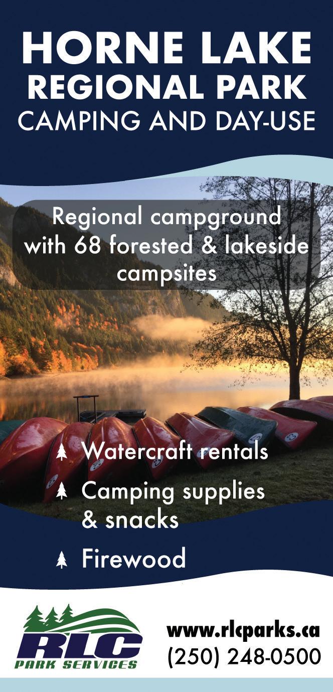
Firewood is available for sale in all the North Vancouver Island campgrounds.
BC Parks Camping Reservations:
Frontcountry and Backcountry Reservations, Permits and Canoe Circuit Reservations.
Campsite reservations can be made up to 4 month in advance of arrival date at BC Parks, either online at camping.bcparks.ca (available 24 hrs/day), or through the Call Centre ($5 surcharge applies to transactions) Toll Free from Canada/USA: 1-800-689-9025, Other International: 519-858-6161.
7 days/week, 7am -7pm (PST). (Open holidays except December 25 and January 1).
Full pre-payment of all camping fees and transaction charges is required to secure a reservation. Reservations are not transferable. Please visit bcparks.ca for more information.

Northern Vancouver Island is home to the vast wilderness of Strathcona Provincial Park, which includes Buttle Lake and Ralph River campgrounds and the 2 km wheelchairaccessible Centennial Loop Trail. This area of Vancouver Island is also home to several family campgrounds and a vast network of hiking opportunities for photographers and outdoor enthusiasts. Explore the unique beauty of the Discovery Islands, venture out to the spectacular suspension bridge at Elk Falls Provincial Park, and experience family fun at the seashore and at the Nature House at Miracle Beach Provincial Park. Venture further north to Cape Scott Provincial Park, with over 100 km’s of backcountry trails and spectacular white sand beaches.
For information on parks listed in black visit bcparks.ca 1
Size: 188 ha. (protected area: 9.3 ha.)
Facilities: Day-use area.
Location: Located on Denman Island. Follow Denman Road to the Hornby Island Ferry terminal; turn right and follow East Road to the park.
A forested trail leads through the park’s second-growth forest to the viewpoints where visitors will be rewarded with a spectacular view of Baynes Sound and the Chrome Island Lighthouse. Seals and sea lions can be spotted off the point, as well as bald eagles, osprey and a variety of seabirds. The main trail is approximately 1.5 km each way and takes about 30 minutes to hike.
Size: 11,679 ha.
Facilities: Wilderness/walk in camping. No designated campsites, but areas for overnight camping. No developed trails or moorage buoys.
Location: Marine accessible only, situated 30 km east of Port McNeil.
The park offers excellent boating and wildlife viewing opportunities. Extremely popular with sea kayakers. Please practice “Leave No Trace” ethics.
Size: 22,294 ha.
Facilities: Designated campsites include Eric Lake (11 tent pads, food caches and pit toilet) and locations along the North Coast Trail (Shushartie Bay, Skinner Creek, Nahwitti River, Shuttleworth Bight and Laura Creek). Wilderness camping is allowed on all beaches throughout the park. Limited facilities include pit toilets and food caches.
Location: Hike-in only, located at the northwestern tip of Vancouver Island. The trailhead is located 64 km west of Port Hardy via public highways and private, active logging roads.
The park offers more than 115 km of scenic ocean frontage, including about 30 km of spectacular remote beaches. There are many bears throughout Cape Scott and visitors should be well prepared for wildlife encounters and changing weather. Day hikers can explore San Josef Bay, an easy 3 km one way hike from the trailhead. More adventurous hikers can take the 18 km one way trek up to Nels Bight, a great base camp location to explore Experiment Bight, Guise Bay and the Cape Scott Lighthouse. Or try the challenging North Coast Trail, a 58 km one way hike, which takes you along the spectacular northern coast of Vancouver Island.
Please visit capescottpark.com for more information and to try a virtual hike.
4 Elk Falls
Size: 1,087 ha.
Facilities: 122 campsites, playground, sanistation and extensive trail network including a suspension bridge.
Location: 3 km north of Campbell River on Highway 28 toward Gold River.
Conveniently located minutes from downtown Campbell River, this park is an ideal base camp to enjoy while exploring the region. Elk Falls (Quinsam Campground) is a popular destination campground that provides riverside and large well-spaced campsites in a stunning forested setting. Elk Falls has a popular trail network that features viewing platforms at the 25-metre Elk Falls and the popular suspension bridge. Elk Falls is located on the Campbell and Quinsam Rivers in the heart of a world-renowned fishing area. Approximately 60% of the campground is reservable through BC Parks; reservations are strongly recommended for this park. Elk Falls offers winter camping and is open yearround.

Size: 23 ha.
Facilities: 10 campsites.
Location: Take the Denman Island Ferry from Buckley Bay (take Buckley Bay Exit 101 off Highway 19) and follow the signs.
Fillongley boasts ocean side camping in a compact 10 site park that is ideal for both small RVs and tenters. This park is extremely popular and is 100% reservable from midMarch until the end of October; reservations are strongly recommended. 1-night overflow camping may be available for tenters and small RVs (space permitting). This park offers winter camping and is open year-round.
6 Helliwell – Hornby Island
Size: 2,872 ha.
Facilities: Day-use area.
Location: Hornby Island is accessible by boat or by 2 short ferry rides between Buckley Bay, (south of Courtenay), to Denman Island, and a second ferry between Denman and Hornby Islands.
Spectacular views of marine life, the Strait of Georgia and the Coast Mountains can be had from any point along the bluffs. As you explore the park’s meandering hiking and walking trails, you will find weather-beaten oldgrowth Douglas firs and gnarled Garry oaks, as well as flora and fauna which may seem more at home in a desert than in a Northwest rainforest. The best times to visit are in late April and early May, when colourful wildflowers carpet the hillside along the cliffs. Please stay on designated trails to protect these fragile areas.
7
Size: 30 ha.
Facilities: 53 campsites and 2 group sites.
Location: Access off Highway 28 across the dam is unavailable until 2029. Alternate access available via Hwy/BC-19 N. Brewster Lake Rd is a gravel forestry road. Located 30 minutes from Campbell River.
A secluded and sought-after hideaway on peaceful Campbell Lake, reservations are
strongly recommended at this newly-updated campground.
The pristine and stunning lakeside sites are a popular destination in the summer months. Campbell Lake is ideal for canoeing, boating and swimming.
Loveland Bay is 100% reservable.
If you aren’t fortunate enough to get a reservation for Loveland Bay, consider a first come, first serve site at nearby Morton Lake Provincial Park. Loveland Bay historically has several vacancies in late-April to mid-June and after Labour Day to Thanksgiving. There is no day-use at this park. Open April 17th to October 13th, 2025. Before any visit, check bcparks.ca for updated operating dates and advisories.
Size: 3,530 ha.
Facilities: A sandy bottom boat launch, parking lot, and 7 boat accessible designated camping areas in the park. Camping is not permitted in other areas of the park.
Location: Located on east-central Quadra Island. Visitors can reach Quadra Island via BC Ferry service from Campbell River on central Vancouver Island. While the park may be accessed by vehicle via ferry/highway, it is
best enjoyed by canoe, kayak or small boat. Main Lake Provincial Park on Quadra Island encompasses six lakes and protects a biologically diverse freshwater system that includes more than 72 bird species and 234 plant species. The park, which was established in 1997, offers significant wilderness recreation opportunities, including wilderness camping, canoeing, kayaking and hiking. Wilderness camping is allowed at 7 designated camping areas in the park. These areas are accessible by boat only. Camping is not permitted in other areas of the park. Please practice “Leave No Trace” camping ethics. This park is open year-round; however, fees are only collected from May 15 – September 15 when backcountry services are provided. Payment must be made via the BC Parks Backcountry Registration System. Although the system does not reserve a campsite, the system provides visitors with the convenience of prepaying for their trip and not having to carry cash.
Size: 100 ha.
Facilities: Day-use area, pit toilets, information shelter, hiking trails.
Location: On Cortes Island, accessible by
boat or car ferry from Campbell River via Quadra Island. Moorage available at adjacent federal government wharf (space permitting). Saltwater lagoon with a natural 365-metre spit and fresh water swimming on Hague Lake. No camping permitted; however, camping is available at nearby Smelt Bay Provincial Park.
Size: 137 ha.
Facilities: 200 campsites, shower building, flush toilets bathrooms, sani-station, group site, covered picnic area, and Nature House with small concession.
Location: Between Courtenay and Campbell River off Highway 19A, the Old Island Highway. A favourite destination for both locals and family camping, few locations on Vancouver Island compare to popular Miracle Beach Provincial Park. The campground and surrounding area feature a large sandy beach on the ocean ideal for sunbathing, beachcombing, and swimming. At low tide, visitors can explore rich tide pools and observe a variety of marine life. Miracle Beach has 200 campsites, a scenic trail network, 2 adventure playgrounds, a children’s bike

track, hot showers, a Nature House and photography opportunities. The Nature House offers educational programming and nature displays; it is open in peak season only. Campground open March 1st to November 30th, 2025. Before any visit, check bcparks.ca for updated operating dates and advisories. The day-use area is open year-round.
Size: 74 ha.
Facilities: 24 lakeside campsites.
Location: 27 km northwest of Campbell River. Turn off Highway 19 at the Menzies Main gravel logging road. Follow the Menzies Main for 12 km and then take Morton Lake Road for another 7 km to the park. Road conditions on last 7 km to the park can be rough and better suited for higher clearance vehicles.
Morton Lake is a stunning rustic campground 30 minutes from Campbell River that offers great fishing, swimming and canoeing opportunities. The day-use area is a sandy beach perfect for sunbathing and swimming. Reservations are recommended in the peak season, however 50% of this campground is set aside for first come, first serve camping.
This park has an overflow camping area adjacent to the lake - a great option for those without reservations in July and August. Morton Lake is staffed from spring to late fall. Winter camping is available year-round.
Size: 177 ha.
Facilities: Day-use area.
Location: On the east side of Quadra Island just a few minutes ferry ride from Campbell River.
Walking trails lead along both sides of Rebecca Spit and offer ample opportunities for exploring the beach, which contains a high concentration of driftwood. Swimming, fishing and kayaking are all popular activities at Rebecca Spit’s large picnic area. Facilities include picnic tables overlooking the beach, a grass playing field and wheelchair accessible pit toilets at the boat launch parking area and at the southern parking lot. Day-use area with no overnight camping, open year-round.

13 Sandy Island Marine –Denman Island
Size: 18 ha.
Facilities: Day-use area, pit toilet. No other facilities.
Location: Just off the northern tip of Denman Island. Take the Denman Island Ferry from Buckley Bay (take Buckley Bay Exit 101 off Highway 19) and follow the signs. Sandy Island is marine accessible or walkable during low tide when a sandy spit between the two islands appears.
14 Schoen Lake
Size: 8,430 ha.
Facilities: 9 vehicle accessible campsites. Walk-in campsites available.
Location: 140 km north of Campbell River via gravel Davie Road.
Schoen Lake, one of the most beautiful parks on Vancouver Island, has countless opportunities for wilderness hiking, backpacking, boating, fishing and swimming. This park is operated by Namgis First Nation.
15
Size: 16 ha.
Facilities: 24 campsites and 350 metres of sandy beach. There are 2 nearby day-use parks at Hague Lake and Mansons Landing. Location: On Cortes Island, which is accessible by ferry from Quadra Island. The campground features multi-tiered sites with tent pads located in private locations and a beautiful communal cook shelter. This campground is a fantastic destination for tenters and smaller RVs. The day use area features a sand and pebble beach that
ancient trees give way to the fir and hemlock of sub-alpine regions, and wildflowers provide spectacular displays from sea level up to 1800m. The park’s geological history stretches back 380 million years, with extensive evidence of volcanic activity. Backcountry wildlife includes black bears, elk, cougars, bald eagles, swans and marmots; many distinct from their mainland relatives due to Vancouver Island’s separation from the mainland so long ago. Backcountry hikers can overnight camp on the Bedwell Lakes and Elk River Trail, as well as designated campsites on Forbidden Plateau (Helen Mackenzie, Kwai and Circlet Lakes).
Backcountry visitors should be selfsufficient, properly equipped and highly experienced. Wilderness areas, glaciers, snowfields and mountains are challenging and hazardous, especially in avalanche areas. Snowfall can be expected from November to March on slopes and alpine plateaus, and can linger until July on the higher peaks. Backcountry is operated by 43K Wilderness Solutions.
Size: 95 ha.
Facilities: Day-use area.
Location: Hornby Island is accessible by boat or by 2 short ferry rides between Buckley Bay, (south of Courtenay), to Denman Island, and a second ferry between Denman and Hornby Island.
Nicknamed “Little Hawaii,” the white sandy beaches of Tribune Bay stretch endlessly out to meet an aquamarine sea. Boasting close to 1 km of fine white sand beach, the southfacing Tribune Bay is easily one of the most spectacular destinations on the east side of Vancouver Island. Here, shallow waters meet tropical temperatures during the summer; Tribune Bay is one of the warmest saltwater swimming areas in B.C.
is good for marine exploration at low tide. Reservations are recommended in the peak season. This park is 100% reservable and reservations are strongly recommended. This park offers an overflow camping area. Open from spring to early fall. Before any visit, check bcparks.ca for updated operating dates and advisories.
Size: 245,807 ha.
Facilities: 160 sites in 2 campgrounds at Buttle Lake and Ralph River. Group sites at Driftwood Bay, Karst Creek ad Croteau Lake, 5 marine-access only campsites in various locations throughout the park. Backcountry campsites include Bedwell and Baby Bedwell Lakes, Elk River Trail, and Helen Mackenzie, Kwai and Circlet Lakes, located on the Forbidden Plateau.
Location: The main access is via Highway 28, which connects with Gold River on the west coast of Vancouver Island. Follow Highway 19 to Campbell River, and then follow Highway 28 west for 48 km. Highway 28 passes through the northern section of the park and provides access to Buttle Lake. Buttle Lake and Ralph River offer serene base camps, from which one can venture out to any of the 52 kilometres of hiking trails in the mountains of the very rare Strathcona wilderness area. The extensive trail system is suitable for day or overnight hikes, with hikes ranging in duration from 2 to 8 hours. Strathcona Provincial Park offers some of the best backcountry experiences on Vancouver Island. Valleys forested with
The adjacent Tribune Bay Campsite has been recently acquired by BC Parks and is undergoing upgrades of the campground facilities. This large, high-density campsite is extremely popular and a favourite destination for many families; its primary feature being the campsite’s proximity to Tribune Bay. Many of the campsite’s features and amenities are in the process of being brought up to BC Parks’ standards. Tribune Bay Campsite is 100% reservable at tribunebay.com. Reservations are highly recommended all season long. The campsite is open May 15th – September 28th 2025.
Central Vancouver Island has the world famous towering old growth giants of MacMillan Provincial Park’s Cathedral Grove, the sandy ocean shores at Rathtrevor Beach, spectacular Englishman River and Little Qualicum River falls. On Hwy 4 heading to the west coast of the central island is Sproat Lake, home to one of the finest panels of prehistoric petroglyphs in British Columbia. The central island also provides the gateway to Pacific Rim National Park, Barkley Sound and the remote Hot Springs Cove.
Parks listed in blue are operated by: R.L.C. Enterprize Ltd.
Phone: 250-474-1336
Mid Island Office: 250-248-1134
Email: office@rlcparks.ca
Website: rlcparks.ca bcparks.ca
Parks listed in green are operated by: Hidden Realm Adventures Inc.
Phone: 250-248-7829
Email: info@hornelake.com
Website: hornelake.com bcparks.ca

Winner
Parks listed in red are operated by: Snuneymuxw First Nation
Phone: 250-754-7893
Email: admin@newcastleisland.ca
Website: newcastleisland.ca bcparks.ca
For information on parks listed in black visit bcparks.ca
Size: 97 ha.
Facilities: 104 campsites and a day-use area on the Englishman River.
Location: 13 km southwest of Parksville. Take Errington Road off Highway 4A, toward Port Alberni. Directional signs are posted on main highways.
Encompassed by an old growth Douglas Fir forest, which surrounds captivating cascading falls. There are some pools at the bottom of the falls for wading or soaking. 3 km of trails cross the river twice with viewpoints overlooking the falls. Just minutes from Coombs, home of “Goats on the Roof”. Open from spring to early fall. Before any visit, check bcparks.ca for updated operating dates and advisories.
Size: 38 ha.
Facilities: 3 day-use parks on the island; Gabriola Sands (6 ha.), Sandwell (12 ha.), and Drumbeg (20 ha.).
Location: Take the BC Ferry from Nanaimo. All day-use areas are accessible by road. All 3 parks allow for spectacular vistas of the Strait of Georgia, making them a great day trip adventure from Rathtrevor Beach or Englishman River Falls.
Fun Family Adventures
Unplug and
20 Hemer
Size: 93 ha.
Facilities: Day-use area.
Location: On Holden Lake, 12 km south of Nanaimo. Take the Cedar Road turnoff from Highway 1 and follow directional signs to the park.
11 km of hiking trails encompassing protected wetlands and a Douglas Fir forest around Holden Lake.
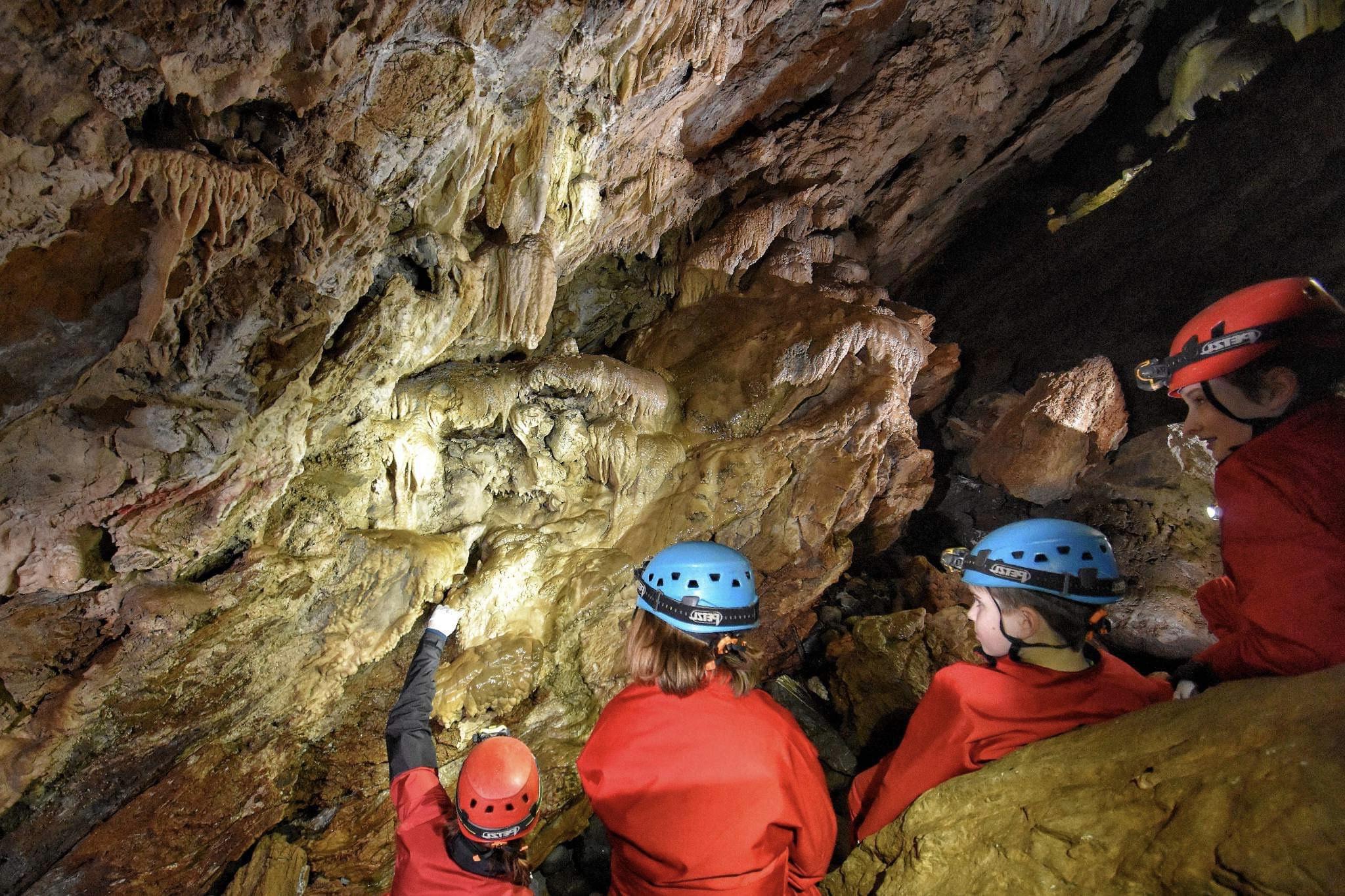
21 Horne Lake Caves
Size: 158 ha.
Facilities: Day-use park with caves open to the public year-round. Park Visitor Centre includes museum, fossil displays and Canada’s only wheelchair accessible cave theatre.
Location: Central Vancouver Island Hwy. 19, take Horne Lake Exit #75 and follow a gravel road along lake 12 km to parking lot.
In-cave temperatures around 8 degrees C (46 F) year-round. Explorers should wear sturdy footwear and warm waterproof / water-resistant clothing. Helmets, lights and maps are available. Check hornelake.com for available tours and rates.
Jedediah Island
Size: 43 ha.
Facilities: Wilderness camping is allowed. Pit toilets. No other developed sites or facilities.
Location: Situated between Lasqueti and Texada islands in the Sabine Channel of Georgia Strait. Access is by boat only from Lasqueti Island.
3.5 km of trails cross the island to connect the secluded bays. Hike to the homestead to view the remaining barn and other structures and the vast orchard. Please practice “Leave No Trace” camping ethics and bring your own water.
Size: 241 ha.
Facilities: Small day-use areas, boat launch.
Location: The park is comprised of 2 sites along the south shore of Kennedy Lake, adjacent to Pacific Rim National Park Reserve. On Hwy 4, 8 km east of the Pacific Rim Hwy/Hwy 4 junction.
Popular lake and beach; visitors can swim, kayak, fish and windsurf in summer (use extreme caution as winds may whip up with little warning due to mountains and size of lake). View spawning sockeye in the fall as well as black bears.
Size: 440 ha.
Facilities: 96 campsites, a day-use and picnic area with 7 km of trails around the Qualicum River Falls. There are also 2 dayuse areas on Cameron Lake (Cameron Lake and Beaufort picnic sites), which feeds the falls.
Location: On the Port Alberni Highway just minutes from MacMillan Park (Cathedral Grove). Cameron Lake and Beaufort are both accessed off Highway 4 en-route to MacMillan Park.
Little Qualicum Falls is the perfect base camp to explore the awe-inspiring Cathedral Grove of MacMillan Park. Afterwards, return to Little Qualicum Falls to camp, hike, and relax. Open from spring to early fall. Before any visit, check bcparks.ca for updated operating dates and advisories.
Size: 157 ha.
Facilities: Information building (summer season).
Location: West on Highway 4 just minutes from Little Qualicum Falls Provincial Park. MacMillan Park contains the world-famous Cathedral Grove stand of old growth Douglas Fir, some of which are more than 800 years old.
26
Size: 2,667 ha.
Facilities: Composting toilets at entrance and change house near the hot springs. Location: Accessible by boat or float plane from Tofino on the west coast of Vancouver Island.
An extensive boardwalk leads up to the hot springs. This park boasts naturally occurring hot springs and pools that interface with the tidal flux. There is a strictly enforced “leave no trace” policy - pack out everything you pack in. The hot springs are a highly fragile ecosystem and detergents or soaps are prohibited.
Size: 4 ha.
Facilities: Day-use area.
Location: 7 km south of Nanaimo. Access to the park is off Highway 1 on Morden Road. This day-use park contains the only remaining coal tipple on Vancouver Island. The parking lot for Morden Colliery is also used as the trailhead for the regional district.

28 Petroglyph
Size: 2 ha.
Facilities: Day-use area.
Location: 3 km south of Nanaimo. Access to the park is via a pull-off from Highway 1. Watch for signs.
This park protects First Nations traditional rock carvings dating back over 1,000 years.
Size: 348 ha.
Facilities: 225 campsites, 4 group sites, 2 picnic shelters, tent only sites, plus 25 walkin tent-only sites, a nature house, gift shop and concession. Other amenities include 4 shower buildings, 2 flush bathrooms in the day-use area and a sani-station.
Location: 3 km south of Parksville on Highway 19a. Take Exit 51 off Highway 19 and follow signs to the park.
One of the most popular destinations on Vancouver Island, reservations are recommended. Over 2 km of sandy beach and 5.5 km of hiking trails within the park. There are many day trips accessible from Rathtrevor, and it is only 30 minutes from the Nanaimo Ferry Terminal. Camping is available year-round. Before any visit, check bcparks.ca for updated operating dates and advisories.
Size: 14 ha.
Facilities: Day-use area.
Location: 15 km south of Nanaimo on central Vancouver Island. Take the Cedar Road Exit off Highway 1. Turn on Yellow-point Road and follow signs to the park.
This day-use area protects sandstone ledges and a shell midden on the beach, an example of how First Nations people harvested intertidal food.
Size: 54 ha.
Facilities: Day-use area on Rosewall Creek.
Location: 3 km south of Fanny Bay in the Comox Valley on central Vancouver Island. The park can be accessed by the Cook Creek Interchange off Highway 19 or 19A.
Serene picnic site that offers hiking trails alongside and crossing the creek.
Size: 336 ha.
Facilities: 18 walk-in campsites, 5 large group campsites, flush and pit toilets, hot
showers, fresh water, and food lockers. Historical 1930’s Canadian Pacific Pavilion/ Event Hall with a full-service concession.
Large day-use area with playground, swimming beach, picnic tables, horseshoe pits and a large grassy area.
Location: Accessible by boat only. From Nanaimo, a foot passenger ferry from Maffeo-Sutton Park in downtown Nanaimo is available from May 15th to October 15th. Public Marina and Mooring Buoys are free during the day on a first come first serve basis, overnight night fees apply.
Size: 65 ha.
Facilities: Day-use area. Day-use and large picnic area.
Location: 60 km north of Nanaimo and 16 km west of Qualicum Beach on central Vancouver Island. The park can be accessed via the Horne Lake Exit off Highway 19 or 19A. For a distance of 5 kilometers follow the signs to Spider Lake.
A very popular day-use destination; Spider Lake provides great swimming and fishing opportunities and is only 20 minutes from Rathtrevor Beach or Little Qualicum Falls Provincial Park.
34 Sproat Lake
Size: 43 ha.
Facilities: 59 vehicle accessible campsites, 5 walk-in sites and a group site (Taylor Arm). Other amenities include a boat launch, swimming floats and 3 picnic sites for day-use. Location: 3 km northwest of Port Alberni. The park sits on the north shore of Sproat Lake and can be reached via Highway 4. A popular destination for swimming, fishing, waterskiing and, when the wind is up, windsurfing. Short hiking trails lead visitors around the park, including a trail to the east end of Sproat Lake which leads to one of the finest panels of prehistoric petroglyphs in BC.
35 Squitty Bay – Lasqueti Island

Size: 12 ha.
Facilities: Marine accessible day-use area.
Location: Squitty Bay is located on the east side of Lasqueti Island between the Main Island and Jedediah Island in the Strait of Georgia.
This small park is a pleasant place to enjoy a picnic or spend a day exploring rocky headlands and arid terrain.
Day-use areas are open to all visitors, ee of charge.
Size: 327 ha.
Facilities: 23 campsites and day-use picnic area.
Location: Stamp River is located off Beaver Creek Road just north of Port Alberni.
Well known for its great fishing. Stamp River is a year-round destination and well known for the annual run of Pacific salmon, which wait in the pool below Stamp Falls before moving up the fish ladders on their way to spawning beds. Viewpoints along the river offer excellent opportunities to observe the natural phenomenon of the salmon fighting their way up the falls to spawn. Sockeye Salmon begin their journey along the Alberni Inlet and into the river systems as early as the first/second week of June. They can be seen along the rivers and right up to Stamp Falls in June, July and August and often in very abundant numbers.


Size: 71 ha.
Facilities: 3 group campsites, day-use area, pit toilets, water hand pump.
Location: 23 km northwest of Port Alberni on Hwy 4, approximately 10 km past Sproat Lake Provincial Park.
Group camping, two day-use areas for picnicking and undeveloped beach areas
for visitors to enjoy many water activities on Sproat Lake. A short trail from the campground area leads to the lake. For reservations of the group campsites, please contact BC Parks at 1-800-689-9025 or camping.bcparks.ca.


South Vancouver Island offers many spectacular parks to visit. At Goldstream Provincial Park, you will find massive trees as well as magnificent waterfalls, a meandering river that meets the sea, flowers, birds and fascinating fish; all a mere 16 km from downtown Victoria. On the west coast, Juan de Fuca Provincial Park offers scenic beauty, spectacular hiking, marine and wildlife viewing, and roaring surf in its course along the Pacific coastline of the Strait of Juan de Fuca.
Parks listed in blue are operated by: R.L.C. Enterprize Ltd.
Phone: 250-474-1336
Email: office@rlcparks.ca
Website: rlcparks.ca bcparks.ca
Parks listed in orange are operated by: K2 Park Services Ltd
Phone/Fax: 1 877-559-2115
Email: k2cowichan@shaw.ca
Website: k2parks.ca bcparks.ca
For information on parks listed in black visit bcparks.ca
38 Bamberton
Size: 28 ha.
Facilities: 53 campsites and day-use area on beach.
Location: 45 km north of Victoria off Highway 1. Turn east off Highway 1 onto Mill Bay Road, near north end of scenic Malahat Drive. Bamberton Park is a 5-minute drive south of Mill Bay.
The 225-meter long sandy beach makes this park an ideal spot for families. Lounge in the sand and enjoy the view, while the kids frolic in the water. Campground open year-round.
Size: 16,450 ha.
Facilities: Day-use area and wilderness camping.
Location: There are three access routes to the park via gravel roads from Lake Cowichan, Port Renfrew and Port Alberni. This lush forested sanctuary is one of the most remarkable wild places on Vancouver Island. It contains diverse forest ecosystems, including a large Sitka spruce
ecosystem that represents 2% of BC’s remaining old-growth forest. It is home to some of world’s largest spruce trees and 1,000 year-old cedars.
40 Cowichan River
Size: 1,414 ha.
Facilities: 43 campsites at Stoltz Pool and 2 group sites - Stoltz Pool and Horseshoe Bend.
Location: There are 3 main access points off Highway 18 north of Duncan.If it’s outdoor recreation you’re after, Cowichan River Park is the place to go. Great for swimming, canoeing, white-water kayaking, tubing, camping, fishing, and hiking. Also, it’s a great place to take it easy in the sun; you’re bound to find something to do in this “recreation corridor.” Stoltz Pool is open year-round.
41 French Beach
Size: 59 ha.
Facilities: 69 campsites (including one group site), large day-use area with an updated playground, sani-station.
Location: Via Highway 14, 20 km west of Sooke. Directional signs posted.
The 1,600-metre beach is ideal for exploring and whale watching. Gray whales pass by in spring as they migrate north and then return in fall. Roaming pods of resident killer whales, as well as otters, seals, sea lions can be seen offshore. Campground is open year-round.
42 Goldstream
Size: 477 ha.
Facilities: 173 campsites, day-use/picnic area on Goldstream River, Freeman King Nature House (www.naturehouse.ca). 2 large group sites, hiking trails, including Mt. Finlayson, amphitheatre, sani-station, shower buildings, flush toilets.
Location: 16 km northwest of Victoria on the Trans Canada Highway #1.
Massive trees, majestic waterfalls, a meandering river to the sea, flowers, birds and fascinating fish are but a few of the attractions that draw people to Goldstream. The Goldstream Salmon Run is very popular in the fall. Campground is open year-round; a playground area for children has recently been added.
43 Gordon Bay
Size: 51 ha.
Facilities: 126 campsites, group site, dayuse area at beach, boat launch, swimming area, playground, amphitheatre, 2 shower buildings, flush toilets.
Location: 35 km northwest of Duncan.
Access off Highway 1. Gordon Bay, on Lake Cowichan, is family vacationing at its best! The warm lake and sandy beach makes for great summer family swimming. In Vancouver Island’s sunniest valley, this area has the highest average temperature in Canada. Spectacular fishing in spring, fall, winter, with waterskiing and windsurfing in the summer. Campground open year-round.
Size: 1,219 ha.
Facilities: Day-use area with picnic area.
Location: East side of Saanich Inlet. 3 park access points: Tod Inlet, Mackenzie Bight, and Caleb Pike.
Gowlland Tod provides an excellent and extensive network of over 25 km of hiking trails, offering spectacular vistas, wildlife viewing, and opportunity for nature appreciation. In spring and early summer, moss-covered rocky knolls come alive with colourful, vibrant wildflowers. Tod Inlet provides boaters with a view of the Butchart Gardens firework display in July and August.
Size: 174 ha.
Facilities: Small picnic area, large trail system.
Location: Near Sidney. Access off Highway 17.
Hiking trails wind through forest across the south and east face of Mount Newton. In spring, the park comes alive with vivid display of wildflowers: blue camas lilies, common red paintbrush, sea blush, and shooting stars.
Size: 210 ha.
Facilities: Day-use facilities only.
Location: West of Shawnigan Lake on Southern Vancouver Island.
Adjacent to Koksilah River, this undeveloped park offers hiking, picnicking, fishing and swimming opportunities. Camping is prohibited in this park.
Size: 7 ha.
Facilities: Day-use area.
Size: 1,528 ha.
Facilities: 79 campsites at China Beach, 6 camping locations along the trail. Beach camping: Mystic, Bear, China, Sombrio. Forest camping: Little Kuitche, Payzant Creek.
Location: Vehicle access points along West Coast Highway 14 between Jordan River and Port Renfrew. China Beach campground is adjacent to Highway 14 east of China Beach day-use area, 35 km west of Sooke. Scenic beauty, spectacular hiking, marine/ wildlife viewing, and roaring surf in its course along the Pacific coastline of the Strait of Juan de Fuca. A 47 km trail from China Beach to Botanical Beach is used for hiking, camping, and surfing. It ranges from moderate to difficult, and features suspension bridges and spectacular views
Location: Off Sooke River Road, off Highway 4 west of Victoria. The park provides access to a series of deep, polished rock pools and potholes carved naturally into the sandstone bedrock of Sooke River. It is a favourite day-use destination for families who enjoy swimming, tubing and fishing.
Size: 9 ha.
Facilities: Day-use area (grassy), change house.
Location: Off Hwy 1, at Shawnigan Lake. Access Park via Shawnigan Lake Road. This popular summer destination is idyllic for enjoying a family picnic. Nearby, the lake offers opportunities for boating, waterskiing and windsurfing.

Island View Beach
Island View Beach
Regional Park
Regional Park
Regional Park
Regional Park
Panoramic Seascape Views
Panoramic Seascape Views
• Long sandy beach and seascape views
Idyllic West Coast Beauty
Idyllic West Coast Beauty
• Long sandy beach and seascape views
• Excellent bird watching area
• Affordable, self-contained
• Close to ferry, airport, downtown Victoria, Lochside Regional Trail
• Excellent bird watching area Affordable, self-contained Close to ferry, airport, downtown Victoria, Lochside Regional Trail
• Open May to October
• Open May to October
Book online at crd.bc.ca/islandviewbeach Sooke Potholes
Book online at crd.bc.ca/islandviewbeach Sooke Potholes
Cobble beach along Juan de Fuca Strait with views of the Olympic Peninsula
• Cobble beach along Juan de Fuca Strait with views of the Olympic Peninsula
• Hemlock and cedar forest trails
• Hemlock and cedar forest trails
• Local favourite for camping and surfing
• Local favourite for camping and surfing
• Open year-round
• Open year-round
First come, first served
First come, first served
Info: crd.bc.ca/jordanriver
Info: crd.bc.ca/jordanriver
Regional Park
Regional Park
Spring Salmon Place [KWL-UCHUN]
Spring Salmon Place [KWL-UCHUN]
• Swimming, cycling and fishing
• Swimming, cycling and fishing
• Adjacent to the Galloping Goose Regional Trail
• Adjacent to the Galloping Goose Regional Trail Trails along the Sooke River and through the forest
• Trails along the Sooke River and through the forest
• Open May to September
• Open May to September
First come, first served
First come, first served
Info: crd.bc.ca/sookepotholes
Info: crd.bc.ca/sookepotholes

Located between Vancouver Island and the Vancouver Mainland, the Southern Gulf Islands make up of over a dozen large islands and a multitude of islets. On Salt Spring Island, visit Ruckle Provincial Park or take in the marvelous views from atop Mount Maxwell. Galiano Island has over 130 different species of birds and includes Montague Harbour Marine Provincial Park, with white sand and shell beaches, a tidal lagoon and towering forests.
Parks listed in blue are operated by: R.L.C. Enterprize Ltd.
Phone: 250-474-1336
Email: office@rlcparks.ca Website: rlcparks.ca bcparks.ca
50 Bellhouse – Galiano Island
Size: 2 ha.
Facilities: Day-use area
Location: Burrill Point, a short walk west from the ferry dock at Sturdies Bay on Galiano Island.
A great spot for picnicking and ferry watching. The park offers excellent views of busy Active Pass, Mayne Island, and the Strait of Georgia.
51 Bodega Ridge – Galiano Island
Size: 233 ha.
Facilities: Day-use area. No facilities.
Location: Three-quarters of the way along the island from the ferry terminal. Access by Cottage Way from Porlier Pass Road. has a 4 km ridge rising 328 meters above sea level. From the top, hikers are rewarded with views of Trincomali Channel, Vancouver Island and the Strait of Georgia.
52 Burgoyne Bay – Salt Spring Island
Size: 334 ha.
Facilities: Day-use area.
Location: At the end of Burgoyne Bay Road off Fulford Ganges Road approximately 5 km NW of Fulford harbour.
Area has historical significance for Vancouver Island First Nations. Hiking trails connect to a lovely sandy beach at the head of the Bay, Mt Sullivan and the Nature Trust ecological reserve which contains Canada’s largest Garry Oak woodland reserve.
53 Dionisio Point – Galiano Island
Special features include sandstone headlands sculpted by erosion, wildflower meadows, a tidal lagoon and a long human history with evidence of shell middens.
54 Discovery Island Marine
Size: 61 ha.
Facilities: 12 open field campsites
Location: Marine access only, 2 nautical miles East of Victoria, launch from Cattle Point. Enter on the southern part only; the northern portion is Indian Reserve land. Take caution of the many rocks and islets. Excellent kayaking opportunities make the park a popular destination for visitors and local residents. No fires and no disposal facilities, please practice “Leave No Trace” ethics.
55 Montague Harbour Marine Park – Galiano Island
Potential for whale-watching through Ruxton Pass or Pylades Channel. Fires are not permitted in the park or on the beach at any time. Camp stove for cooking only. There are no disposal facilities so please practice “leave no trace” ethics.
58 Ruckle – Salt Spring Island
Size: 142 ha.
Facilities: 30 walk-in campsites, picnic area.
Location: At the northern tip of Galiano Island overlooking Porlier Pass. Marine access only.
Size: 97 ha.
Facilities: 16 vehicle accessible and 21 walkin campsites, 7 kayak campsites, 40 mooring buoys, day-use area-, group shelter, dock. Location: Located on Montague Park Road, SW side of Galiano Island, approximately 10 km from the Sturdies Bay ferry terminal. BC Ferries provides vehicle and passenger service. Firewood is available for sale.
56 Mount Maxwell – Salt Spring Island
Size: 231 ha.
Facilities: Day-use area.
Location: From ferry terminal, go south on the Fulford Ganges Road to Cranberry Road. Turn left at Mount Maxwell Road. Mount Maxwell’s Baynes Point is one of the highest points on Salt Spring Island offering views of Vancouver Island, surrounding Gulf Islands and Vancouver Mainland.
57 Pirates Cove Marine – De Courcy Island
Size: 31 ha.
Facilities: walk-in campsites, 2 day-use dinghy docks, and mooring rings for larger vessels.
Location: Marine access only. Located at the SE end of De Courcy Island, 16 km SE of Nanaimo.
Size: 486 ha.
Facilities: 78 walk-in campsites, 8 RV sites (no hook-ups), 3 reservable group sites, day-use area.
Location: 12 km from Fulford harbour at the end of Beaver Pt. Rd. on Salt Spring Island. has a fascinating farm history as the Ruckle family’s involvement with this land dates back to 1872. There are extensive hiking trails, beachcombing and heritage farm buildings to explore. An excellent wildlife viewing area. Firewood is available for sale.
59 Wakes Cove – Valdes Island
Size: 205 ha.
Facilities: Day-use area. No facilities. Location: Marine access only, NE corner of Valdes Island.
A popular destination featuring a sheltered anchorage that offers rustic hiking trails, picnicking, and wildlife viewing. Expect to see a stand of old-growth Coastal Douglas Fir, as well as Arbutus trees, Garry Oaks and endangered plant species. No overnight camping.
60 Wallace Island Marine
Size: 72 ha.
Facilities: 18 open field campsites, day-use area, picnic tables.
Location: Marine access only, in Trincomali Channel between Galiano Island and the northern tip of Salt Spring Island. Dock at Conover Cove on the SW side of the island. Dinghy dock & stern tie rings at Princess Cove.
Numerous beaches, coves and islets for paddlers to explore. Wildlife viewing. Please respect the adjacent private properties.
For more information about the Gulf Islands National Park Reserve of Canada, please visit www.pc.gc.ca/pn-np/bc/gulf/default.asp
The Lower Mainland Provincial Parks have some of the province’s most impressive lakes, waterfalls, and hiking trails. These parks are rich in nature, history and wildlife diversity and offer an extensive list of outdoor activities including boating, swimming, wildlife viewing, hiking, scuba diving and sailing. From the third highest falls in B.C. to one of the largest provincial parks, there is an exciting adventure or camping vacation for everyone and all within easy reach of Vancouver.
The region is divided into four different areas: Sunshine Coast, Sea to Sky, Fraser Valley and Greater Vancouver. So start planning your next camping vacation to discover what the region’s scenic provincial parks have to offer.
Frontcountry and Backcountry Reservations, Permits and Canoe Circuit Reservations. Campsite reservations can be made up to 4 months in advance of arrival date at BC Parks, either online at camping.bcparks.ca (available 24 hrs/day), or through the Call Centre ($5 surcharge applies to transactions) Toll Free from Canada/USA: 1-800-6899025, Other International: 519-858-6161. 7 days/week, 7am -7pm (PST). (Open holidays except December 25 and January 1).
Full pre-payment of all camping fees and transaction charges is required to secure a reservation. Reservations are not transferable. Please visit bcparks.ca for more information.
The Sunshine Coast is a short and relaxing ferry ride (www.bcferries.com) from MetroVancouver or Comox-Vancouver Island. Enjoy sandy beaches, old growth forests, marine life, tidal pools, coves, and tons of family friendly community activities! Saltery Bay has a beautiful rocky beach and picnic area with a boat launch and Inland Lake boasts a wheelchair accessible trail around the entire lake. A little further north, Okeover Sounds and Desolation Sound provide serene camping experiences and world class kayaking. First Nations culture also thrives on the Sunshine Coast, with historic sites like the seashell middens of Saltery Bay and the Tems Swiya Museum, home to objects and historical artifacts of the Sechelt First Nation. There is something for everyone to enjoy on the Sunshine Coast!
Parks listed in red are operated by: R.L.C. Enterprize Ltd.
Phone: 250-474-1336
Email: office@rlcparks.ca
Website: rlcparks.ca bcparks.ca
For information on parks listed in black visit bcparks.ca
2 Halkett Bay
Size: 309 ha.
Facilities: 3 walk-in campsites and 1 marine mooring buoy are available on a first come, first serve basis.
Location: In Howe Sound, on south eastern shore of Gambier Island, 15 km from Horseshoe Bay.
Size: 8,449 ha.
Facilities: 11 designated marine-accessible campgrounds throughout Desolation Sound, the Copeland Islands, Malaspina Marine, and Roscoe Bay Parks, each with multiple tent platforms. These three parks are grouped together for the backcountry registration system and described as Desolation Sound Park. Camping is only permitted in designated FCFS campsites. Pit toilets are available at these parks, but campfires are not permitted.
Location: 19 km north of Powell River on the Sunshine Coast. The nearest community is Lund.
This marine park is a paddler’s paradise with endless coves and islands to explore. It is also popular with boaters and yachters who have access to stern ties in many of the bays.
Halkett Bay offers a wilderness camping experience in a marine environment, just minutes north of Horseshoe Bay by boat. Access to land is available using the small float and dock. Only dinghies are permitted to be tied up at the dock for extended periods of time. Campfires not permitted at this park.
3 Inland Lake
Size: 2,763 ha.
Facilities: 22 vehicle-accessible campsites, (of which 13 are reservable), 3 walk-in sites and 3 boat-accessible sites, a fishing dock, and a day-use/picnic area.
Location: North of Powell River. Turn up Haslam Street north of Cranberry Lake, left and continue 5 km, right at Inland Lake.

Size: 4 ha.
Facilities: 14 campsites, day-use area with overflow camping, and pit toilets.
Location: 19 km north of Powell River, 7 km west of Lund.
This site is a good family camping area and is also often used as a starting point for kayakers heading out to Desolation Sound.
Size: 66 ha.
Facilities: 20 walk-in campsites, docking facilities and 8 mooring buoys are available on a first-come, first-serve basis.
Location: Boat access only. Plumper Cove is located on the west shore of Keats Island, across from Gibsons.
Paddle, power or sail to Plumper Cove Marine Park and enjoy one of the most beautiful settings in the region. Water taxi service is available from Gibsons. Docking is available for boats up to 13 metres. The park includes a day-use area with large lawn, picnic sites, ocean view, and room for activities. Firewood is available for sale.
Size: 69 ha.
Facilities: 42 campsites (of which 21 are reservable), day-use area and wheelchair accessible pit toilets.
Location: Campground - 1 km north of Saltery Bay Ferry Terminal on Highway 101. Day-use area 1.5 km north of campground. Scuba diving provides a close-up look at the abundant marine life and a 3-metre bronze mermaid statue.
Size: 142 ha.
Facilities: Day-use area.
Location: 8 km from Sechelt. Off Hwy 101 onto Redroofs Road.
Splendid ocean beaches, rocky headlands, lagoons and forests. Excellent for walking & nature viewing.
Size: 123 ha.
Facilities: Day-use area.
Location: Highway 101 past Sechelt and Madeira Park, take Egmont Road to parking lot (6km)
Trails and viewing areas allow visitors to experience the incredible power of the turbulent tidal rapids.
Size: 185 ha.
Size: 61 ha.
Facilities: 84 vehicle accessible campsites, a group campsite, day-use area, pit and flush toilets, hot showers, adventure playground.
Location: South end of Sechelt Inlet, 4 km north of Sechelt off Highway 101. Coastal family-oriented park and an excellent base camp for paddlers exploring the Sechelt Inlet.
Size: 40 ha.
Facilities: 21 campsites, day-use area, sanistation.
Location: To get to the day-use area follow Hwy 101 past Roberts Creek and turn left onto Flume Rd. The campground is another 2 km past Flume Rd off Hwy 101.
At low tide the cobblestone ocean beach is fantastic for sea stars, mussels and oysters as well as watching whales and seals offshore.
Facilities: Day-use only
Location: Marine access - a small picturesque all-weather anchorage on the south side of Sechelt Peninsula near Secret Cove. Land access - hike 2 km from the parking lot to the end of the cove. Camping is not permitted in this park. Only over-night anchorage is available. Take in what you take out – there are no garbage disposals available. Pit toilet available in main parking lot. Dogs must be on leash.

The Sea to Sky area lives up to its name when it comes to Provincial Parks. Just a short drive north from Vancouver, you can explore marine parks such as Porteau Cove, or camp inland surrounded by towering mountains at Alice or Birkenhead Lakes, each boasting endless recreational opportunities. For the adventurous and energetic, you can take in the views with a hike at Mount Seymour or Garibaldi Provincial Parks. The Sea to Sky corridor offers hundreds of campsites, a world-class trail network, pristine lakes, thundering waterfalls, and of course, access to the beautiful Pacific Ocean.
Parks listed in blue are operated by: Sea to Sky Park Services
Phone: 604-986-9371
Email: info@seatoskyparks.com
Website: seatoskyparks.com bcparks.ca
For information on parks listed in black visit bcparks.ca
12 Alice Lake
Size: 396 ha.
Facilities: 96 campsites (55 are electrified and require an additional fee), 12 walk-in campsites, 2 group campsites, three (8-unit) shower/flush washroom buildings, and a sani-station (for registered campers only, additional fee).
100% reservable through bcparks.ca.
Location: Alice Lake is located on Highway 99, 13 km north of Squamish.
A camping experience for the whole family with a variety of activities to choose from including walking/hiking trails leading to other lakes, views of the Squamish River and Tantalus Mountain Range, mountain biking, swimming, and a playground. The day-use area includes three picnic areas, each located by sandy beaches with access to the lake. Canoe, kayak, pedal boat and stand-up paddleboard rentals are available at Centre beach, June until September. For more information and event dates, please visit seatoskyparks.com. Firewood, toiletries and ice are available for sale.
13 Birkenhead Lake
Size: 9,755 ha.
Facilities: 91 campsites, pit toilets & day-use area.
Location: Birkenhead Lake is located 22 km west of D’Arcy and 90 km north of Whistler off Hwy 99.
One of the Sea to Sky’s best-kept secrets! Enjoy the peace and tranquility associated with wilderness camping from the comforts of a drive-in campground, situated only three hours north of Vancouver. A spacious dayuse area includes sandy beaches, several picnic sites, designated swimming area and a concrete boat launch. The area includes over 11 km of hiking and mountain biking trails. Canoe rentals are available. Firewood is available for sale.
Size: 143 ha.
Facilities: Day-use area with pit toilets.
Location: On Highway 99, 41 km north of Squamish.
The day-use area has been expanded for guests to enjoy the spectacular 70-meter falls and view of Daisy Lake. A short walk from Brandywine Falls’ viewing platform, along a short gentle trail, is another viewpoint of the magnificent Black Tusk. There are hiking trails to the Cal Cheak Suspension Bridge (2-hour return) and the Whistler Bungee Bridge (1 hour return).
Size: 3,012 ha.
Facilities: 4 backcountry/walk-in campsites along the Howe Sound Crest trail, two dayuse/picnic areas, parking area, pit and flush toilets.
Location: Access road off Hwy #1 and Hwy 99 in West Vancouver. This park, located on the North Shore
Mountains, is very popular for hiking and skiing enthusiasts visiting the Vancouver area. No matter what the season or the weather, the park is an enjoyable place to visit and view the outlying areas of Vancouver. You’ll find many km of hiking trails, some of which are wheelchair accessible. Please ride bicycles on roadways only. For information: Cyprus Bowl Recreations Ltd. Partnership
Email: contact@cypressmountain.com
Size: 4,048 ha.
Facilities: Day-use area (potable water is not available in the park).
Location: Located along Duffey Lake Road (Highway 99) about 35 km east of Pemberton, nearly midway to Lillooet. It is about a three-hour drive from Vancouver. Established as a provincial park in 1993, this park is centered around the picturesque Duffey Lake and overshadowed by the Mt. Rohr. A popular spot for canoeing, kayaking and wildlife viewing. The park offers a rough gravel boat launch, but use caution, as the wind can be strong on the lake. The Duffey Lake area contains some of the flora, fauna, landforms and waters which are characteristic of the region, and illustrates transitional vegetation between coastal and interior climates.
Size: 194,650 ha.
Facilities: Wilderness/backcountry camping and picnic areas throughout park. Overnight shelter is available at Elfin Lakes on a first come, first serve basis. Small huts are available at Wedgemont Lake and Russet Lake. Open year-round.
Location: Off Hwy 99 in the Coast Mountains, 70 km north of Vancouver. Garibaldi Park’s rich geological history, diverse vegetation, snow-capped mountains, iridescent waters, abundant wildlife, and scenic vistas all contribute to its immense beauty, and make it a year-round destination for outdoor enthusiasts. Visitors can access over 90km of hiking trails that take them to popular destinations including Elfin Lakes, Garibaldi Lake, and Panorama Ridge. This is purely a backcountry park; visitors must be independent, prepared, and properly equipped for the time of year and their activity. Visit adventuresmart.ca for details.
Reservations or permits are required to camp in Garibaldi Park; camping fees apply in all areas year-round. For more information on backcountry camping, please visit www.bcparks.ca. The Rubble Creek and Diamondhead trailheads are maintained by Sea to Sky Park Services.
• Pack out what you pack in and take it home with you.
• Campfires are prohibited all year-round.
• Dogs are not permitted.
• No emergency services are available at this park.
Size: 1,460 ha.
Facilities: 26 Back Country camping sites. 1 pit toilet (potable water is not available in the park)
Location: Off Hwy 99 east of Pemberton, BC on the Duffey Lake Road. The highlight of this park is the turquoise blue waters of Lower, Middle and Upper Joffre lakes, all three of which are located along the trail. Their striking, saturated blue colour is caused by “rockflour” – or glacial silt – that is suspended in the water and reflects sunlight. Steeply rising from Lower Joffre Lake, the glacier-laden peaks are visible from an easily accessible viewpoint 500 metres from the parking lot. Day-use passes are required from May to October. Check bcparks.ca for more information.
From June 1 – Sept 30th you must purchase a camping permit. Camping is permitted at Upper Joffre Lake, a 5.5 km moderate to challenging hike from the parking lot. The small gravel sites are on the far (south) end of the lake. Winter camping with no servicing is permitted year-round. For more information, please contact bcparks.ca
• Pack out what you pack in and take it home with you.
• Campfires are prohibited all year-round.
• No emergency services are available at this park.
• Pets are not permitted.
19 Mount Seymour
Size: 3,508 ha.
Facilities: Wilderness camping, group walkin campsite with a pit toilet, group shelter and picnic tables, three day-use/picnic areas in the park.
Location: 30 minutes from downtown Vancouver.
Mount Seymour offers a variety of summer recreation activities including picnicking, bird and wildlife viewing, mountain biking, and hiking. In the summer, Mt Seymour Resorts Ltd. offers a patio restaurant and bar and a Summer Kids Eco Adventure Camp in July and August. These midweek day camps for ages 5-12 and 13-15 offer children outdoor survival skills, knowledge of local flora and fauna, hiking and orienteering, games, and more. To register, call 604-986-2261 ext. 201, or visit mtseymour.ca for restaurant opening/ closing times. Visitors will find many hiking trails of various lengths and difficulty which reward hikers with spectacular views of Vancouver, the North Shore Mountains, and Indian Arm. Fires are only permitted in the wood stove at the group campsite shelter. Mt Seymour Resorts is Vancouver’s family owned and operated ski area providing skiing, snowboarding, snowshoeing, tubing, and tobogganing within a Controlled Recreation Area (CRA) in Mount Seymour Provincial Park under a park use permit. The resort is comprised of 41 runs (19 of which are lit for night skiing), dedicated snowshoe trails, and five parking lots. For more information, call 604-986-2261 or visit mtseymour.ca.
Size: 24 ha.
Facilities: Day-use area with picnic sites along the lake.
Location: On Highway 99, 9 km south of Squamish.
Enjoy a relaxing picnic in the sun with your friends and family while having access to swimming, fishing, hiking and rock climbing. For climbers, there are various climbing walls to choose from.
Size: 170 ha.
Facilities: 94 campsites, picnic site and pit toilets.
Location: On Highway 99, 32 km north of Whistler and 2 km south of Pemberton. Camp in the warmest and driest climate of the entire Sea to Sky area and visit nature’s amazing rock sculpted 60 metre waterfall, only a 1.5 km walk from the day-use parking lot. Visitors will find many hiking trails including a 2.6 km portion of the Sea to Sky Trail which spans from the campground to One Mile Lake, just south of the Village of Pemberton. Other hiking trails in the park include a trip to Green River, and Coudre Point. Firewood is available for sale. This park is 100% reservable through bcparks.ca.
Size: 50 ha.
Facilities: 44 electrified campsites (require additional fee), 16 walk-in sites, shower/flush washroom building and sani- station (limited during the winter), day-use area and 2 boat launches. This park is 100% reservable through bcparks.ca
Location: 38 km north of Vancouver on Hwy 99. Only a 45-minute drive north of Vancouver, enjoy the experience of oceanfront camping at Porteau Cove. The day-use area offers picnic sites in a grassy area along the shore with gorgeous views of Howe Sound and Anvil Island. Porteau Cove is also accessible by water; a mooring float (with no shore access) is located at the south end of the park. Porteau Cove is a popular area for stargazing and scuba diving, with an artificial reef and 3 sunken vessels. Ice, firewood, 20lb propane tanks and propane exchange are available for sale at the gatehouse. Two beautiful beachfront log cabins are available for rent. These fully furnished units sleep 4 and include a deck with a BBQ, television, and kitchenette. To make a reservation, visit: seatoskyparks.com/accommodation
Size: 87 ha.
Facilities: Day-use area and flush washrooms (May to Oct).
Location: Adjacent to Highway 99, 58 km north of Vancouver.
Shannon Falls is the third-highest falls in British Columbia, measuring 335 meters tall. A viewing platform is located only 350 metres from the parking lot and is accessible by a gentle paved pathway. A second viewing platform offers a closer look at the falls while experiencing some of its spray! This beautiful day-use area has picnic sites over a large lawn area with easy access to flush washrooms, and a small welcome centre selling souvenirs and snacks. Reservations for a group picnic site can be made up to one year in advance through BC Parks.

Size: 530 ha.
Facilities: Campground with 75 sites (100% per person self-registration), 18 sites are drive-in, small vehicle only, 57 walk in tent pads; drinking water, pit toilets, day use area. No campfires in this park.
Location: On Highway 99, 5 km south of Squamish.
The park boasts a 700 m tall granite monolith, a world renowned big-wall climbing mecca and bouldering destination. Or take a day hike to one of the three main peaks, 2 to 5 hours on steep terrain rewards you with sweeping views of Howe Sound and the surrounding mountains, as well as a great place to watch climbers, kite boarders and the rare Peregrine falcons.
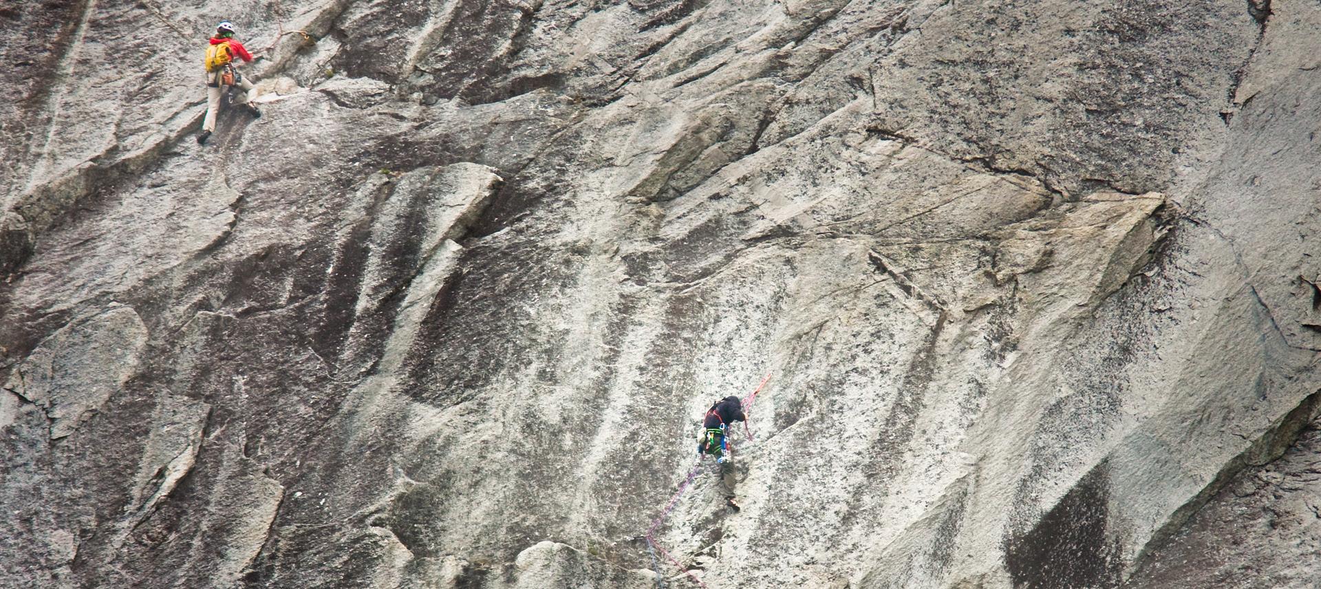
Some of the best outdoor adventures are experienced within the Greater Vancouver area. Visit the beautiful Golden Ears or Rolley Lake Provincial Parks to boat, swim, fish, hike, bike, horseback ride; the list of opportunities goes on and on.
Parks listed in green are operated by Alouette Park Management
Phone: 604-466-8325
Email: info@alouetteparks.ca
Website: alouetteparks.ca
For information on parks listed in black visit bcparks.ca
Size: 62,540 ha.
Facilities: 3 campgrounds: Gold Creek: (182 sites), Alouette (206 sites) and North Beach (55 sites). 2 group sites, 3 day-use areas, boat launch, sani-station. Backcountry camping at Alder Flats and Panorama Ridge on the West Canyon/Golden Ears Trail, and at Viewpoint Beach and Half-Moon Beach on the East Canyon Trail.
Location: 11 km north of Maple Ridge via Dewdney Trunk Road. Turn north onto 232nd, then right onto Fern Crescent and follow the road into the park.
The park offers many hiking, trail-riding, and water activities. Canoe and kayak rentals at South Beach from late June to Labour Day (weather permitting).
Size: 9 ha.
Facilities: Day-use area, playground.
Location: 40 km south of Vancouver at the Douglas Border Crossing.
Area straddles the 49th Parallel on the Canadian/US border. Beautiful lawns and gardens feature the Peace Arch representing lasting peace between the two countries. Group picnic site reservations available, call 604-541-1217.
Size: 115 ha.
Facilities: 64 campsites, hot showers, flush toilets, sani-station, playground, a day-use picnic area.
Location: 23 km northwest of Mission. Take Highway 7 to Maple Ridge and turn north at 287th Street. Turn right onto Dewdney Trunk road then left onto Bell Street.
The lake offers a sandy beach, swimming area and canoeing/kayaking (no power or electric motors). There is a walking trail around the lakeshore and wildlife viewing from the boardwalk.
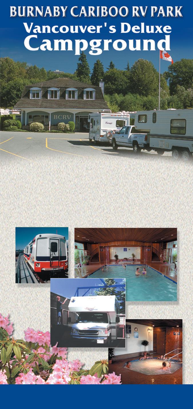
Parks in the Fraser Valley such as Sasquatch, Silver Lake and Skagit Valley offer family friendly getaways within a few hours drive of anywhere in the Lower Mainland.
Parks listed in blue are operated by: Sea to Sky Park Services
Phone: 604-986-9371
Email: info@seatoskyparks.com
Website: seatoskyparks.com
For information on parks listed in black please visit bcparks.ca
Size: 32 ha.
Facilities: Day-use area and flush toilets. Location: 16km east of Chilliwack off Highway 1.
Visitors can enjoy a day of picnicking and hiking up to a spectacular view of the 60 metre-high falls, just a 15-minute walk from the parking lot. The beautiful, mossy forest leading up to the falls is also a great quick escape into nature.
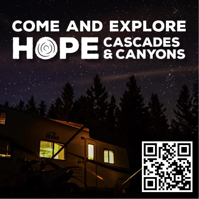
Size: 2,561 ha.
Facilities: 4 campgrounds (298 sites in total),
4 group sites, 2 large day-use areas, sani-station, 2 boat launches, 25 cabins available for rent, and washroom buildings throughout.
Size: 9,258 ha.
Facilities: 177 Reservable campsites, a wide sandy beach exists in late summer when water levels recede, boat launch, sani-station, playground and pit toilets.
Location: 64 km southeast of Chilliwack, 40 km down Chilliwack Lake Road.
A popular park for hiking, fishing, small motor-boating, canoeing and kayaking. 40 km of hiking trails are great for wildlife viewing and enjoying nature. Those seeking a wilderness camping experience can access the campgrounds located at Greendrop, Lindeman, Flora, and Radium Lakes.
Size: 159 ha.
Facilities: Day-use area.
Location: Off Highway 5, north of Hope. Reclamation work to repair the impacts of the 2021 atmospheric river is ongoing, and the park is expected to fully reopen in 2025. Check bcparks.ca for up-to-date information.
This spectacular day-use area highlights the Canadian Pacific Railway route over 3 mountain ranges at the top of the Coquihalla Gorge. In sections, the river has cut a 100-metre channel into solid granite. This is the location of the Othello Tunnels.
Location: 11 km southwest of Chilliwack. This park is one of the most popular destinations in the Lower Mainland, particularly on weekends during the summer. The park is encompassed by a large, warm, freshwater lake surrounded by forest-clad mountains. The lake offers ample opportunities for fishing, hiking, picnicking, and exploring the lake from the comfort of a small motorboat. 25 Comfortable, wheelchair-accessible, and very sought-after cabins are available to rent in Maple Bay; book on bcparks.ca.
Size: 29 ha.
Facilities: 35 vehicle accessible campsites; 3 double campsites available on a firstcome, first-served basis. Cold water taps are located in the campground. Taps are shut off during the off-season.
Location: Emory Creek is located 18km north of Hope on Hwy #1.
This park is located next to the Canadian Pacific Railway mainline.
Size: 1,217 ha.
Facilities: 3 campgrounds at Hicks Lake (72 sites), Bench (64 sites) and Lakeside/Deer Lake (42 sites) a group campsite, day-use area and sani-station.
Location: 6 km north of Harrison Hot Springs.
This park is ideal for small motor (under 10 hp) boating, canoeing, kayaking, hiking, picnicking, wildlife viewing. Sasquatch Park also offers 7 km of hiking trails, 3 boat launches and canoe, kayak, and stand-up paddleboard rentals are available at the Hicks Lake boat launch. Winter camping is available at Lakeside/Deer Lake dependent on snowfall levels.
34 Silver Lake
Size: 77 ha.
Facilities: 25 campsites, a boat launch and day-use area. 20 out of the 25 campsites are reservable through bcparks.ca.
Location: 12 km southwest of Hope at the east end of the Fraser Valley.
This park is a small, largely undeveloped lakefront area. Visitors can enjoy fishing, picnicking and boating against a spectacular mountain backdrop or take pleasure in a rustic camping experience.
35 Skagit Valley
Size: 27,948 ha.
Facilities: 3 campgrounds at Silvertip (43 sites), Ross Lake (88 sites) and a horse camp near Whitworth Meadows (11 sites), a group campsite, day-use areas, pit toilets and boat launch (Ross Lake).
Location: 37 km southeast of Hope on the Silver-Skagit Road, adjacent to the Canada/ USA border.
The Skagit Valley provides excellent outdoor recreation opportunities in a natural, wilderness setting. The park offers 50 km of horse trails and is a very popular fishing area. Note: Ross Lake campground is located on a reservoir. The level of water in the reservoir fluctuates greatly. July and August are the only months when the lake is at full pool. During other months, there is no water in the lake on the Canadian side.
Day-use areas are open to all visitors, ee of charge. 33 Sasquatch
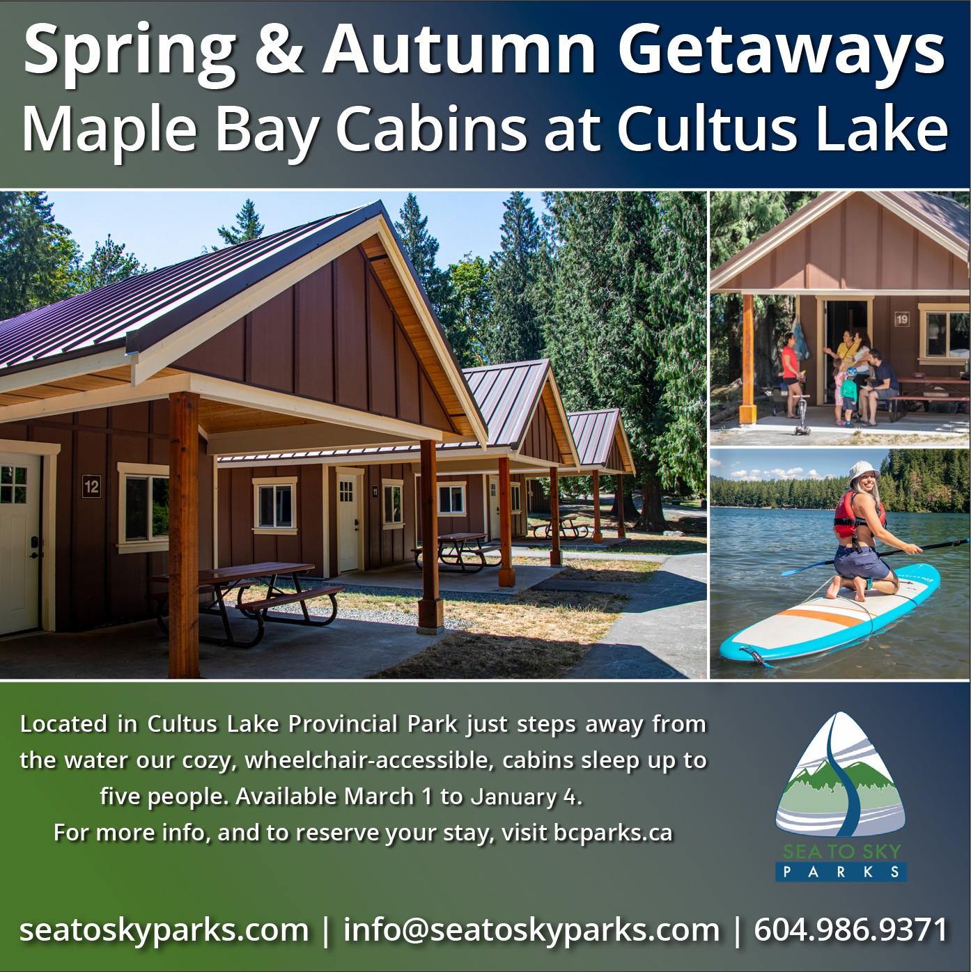
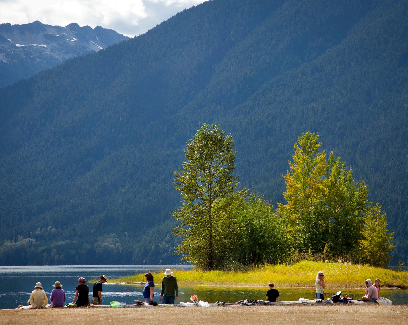
Okanagan Provincial Parks are a camper’s dream with endless outdoor and recreational activities mixed in one of the sunniest and warmest climates in Canada. From the US Border at Osoyoos and stretching north to Vernon, west to the borders of Manning Park and east to Boundary Country, the Okanagan offers numerous provincial parks situated on the region’s most picturesque lakes and rivers. Make sure to bring all of your water toys and lots of sunscreen to discover all the Okanagan has to offer.
BC Parks Camping Reservations: Frontcountry and Backcountry Reservations, Permits and Canoe Circuit Reservations. Campsite reservations can be made up to 4 month in advance of arrival date at BC Parks, either online at camping.bcparks.ca (available 24 hrs/day), or through the Call Centre ($5 surcharge applies to transactions) Toll Free from Canada/USA: 1-800-689-9025, Other International: 519-858-6161. 7 days/week, 7am -7pm (PST). (Open holidays except December 25 and January 1).
Full pre-payment of all camping fees and transaction charges is required to secure a reservation. Reservations are not transferable. Please visit bcparks.ca for more information.
The North Okanagan is fortunate to have many beautiful campgrounds located on amazing lakes. Ellison, Fintry, Kekuli Bay and Mabel Lake all offer some of the Okanagan’s finest camping opportunities. Check bcparks.ca to view impressive photo galleries, park updates and in-depth descriptions of what each location has to offer.
Parks listed in blue are operated by: Kaloya Contracting Ltd.
Phone: 236-970-7815
Email: questions@campokanagan.ca Website: campokanagan.ca bcparks.ca
1 Ellison
Size: 200 ha.
Facilities: 71 campsites (70% reservable), flush toilets, showers, deluxe adventure playground, picnic and day use facilities, mountain biking trail network and a scuba dive park.
Location: 16 km from the junction of Highway 97 and 25th Avenue in Vernon. Spacious campsites are situated in a forest setting up above some of the Okanagan’s finest beaches. Ellison is perfect for funfilled family adventures and beach activities. For your recreation pleasure, there is a scenic nature trail and mountain biking trails that are perfect for all ages and abilities. Reservations are strongly advised during peak season. Ellison has a small concession that also sells treats, firewood and ice. Debit, Credit, Cash are accepted. Open from spring to early fall. Before any visit, check bcparks.ca for updated operating dates and advisories.
Size: 361 ha. (Park) / 523 ha. (Protected Area)
Facilities: 188 campsites (reservable) which include 30 new sites offering up to 50-amp power. 3 reservable group sites, flush toilets, showers, 2 sani-stations, 1 deluxe adventure playground and the original playground, picnic and day-use facilities, boat launch, historical tours.
Location: 34 km north of Kelowna on Fintry
Delta Road or 49 km south of Vernon on the northwest side of Okanagan Lake. 2 km of lakefront offers a variety of swimming and watersport opportunities. The campground is situated on a flat delta that is perfect for young families and seniors to enjoy walking, biking and rollerblading. A short hike up the stairway takes you to the spectacular Shorts Creek water falls that peak in the spring and are worth seeing. Fintry has a colourful history, which can be relived through tours of the heritage buildings. Reservations are strongly advised during peak season. Fintry has a concession in their gatehouse that sells treats, firewood and ice. Debit, Credit, Cash are accepted. Open from spring to early fall. Before any visit, check bcparks.ca for updated operating dates and advisories.
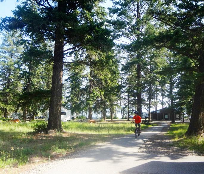

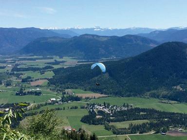
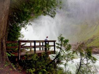


3 Kalamalka Lake
Size: 978 ha.
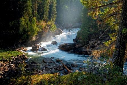


Size: 57 ha.
Facilities: 73 campsites plus 4 walk-in tenting sites (100% reservable), large overflow camping area with 4 high density power sites, flush toilets, showers, playground, picnic and day-use facilities, boat launch.
Size: 187 ha.
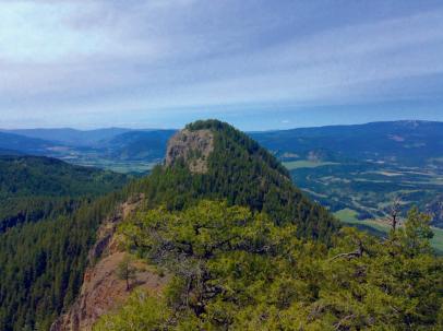

Facilities: Day-use and picnic areas. No overnight camping at this park.
Location: 8 km south of Vernon off Highway 6. Trails wind through nature’s beauty and lead the adventurer to spectacular views and private beaches. Jade and Juniper Bays offer some of the best swimming and picnicking in the Okanagan. 13 km of well-marked hiking, biking and horseback riding trails. Check website for updates.
Location: 11 km south of Vernon off Highway 97. Situated on Kalamalka Lake, Kekuli Bay is a popular destination for boaters, RVers and tenters alike and is an excellent springboard to all the sunny Okanagan has to offer. The park is terraced and all campsites have sweeping panoramic views of the beautiful Kalamalka Lake. It also offers 4 power hook-up RV sites and four grassy tent sites. The park has a large boat launch, a 2.6 km Nature loop for hikers, and the Okanagan Rail Trail that borders the lake and passes through the park as a welcome addition for cycling, walking, and running. Kekuli is 100% reservable. Reservations are strongly advised during peak season. Firewood and ice is available for purchase from the park operator. Debit/Credit/Cash are accepted. Open from spring to early fall. Before any visit, check bcparks.ca for updated operating dates and advisories.
Day-use areas are open to all visitors, ee of charge.
Facilities: 114 campsites, reservable group site with a picnic shelter, picnic and dayuse area, one of a kind rustic playground, boat launch, sani-station, flush toilets, and sandy beaches. Mabel Lake is now 100% reservable from April 4th – October 13th, 2025.
Location: 60 km northeast from Vernon. Take Highway 6 east from Vernon to Lumby. Follow signs in Lumby turning north onto Mabel Lake Road for 36 km and 1 km of gravel road to Mabel Lake Park. Spring and fall at Mabel Lake are a fisherman’s delight. The treed campsites, sandy beaches, clear water, and large grassy areas are a great recipe for family fun in the summer. Reservations are strongly advised during peak season. Firewood is available for sale. Ice sales available at nearby store. Due to remote location, this park accepts CASH ONLY. Open from spring to early fall. Before any visit, check bcparks.ca for updated operating dates and advisories.
6 Mara
Size: 6 ha.
Facilities: Day-use with paved boat launch and pit toilets.
Location: On the southeast side of Mara Lake, access from Highway 97A. From Highway 1, the park is 12 km south of Sicamous. Activities include swimming, boating and fishing.
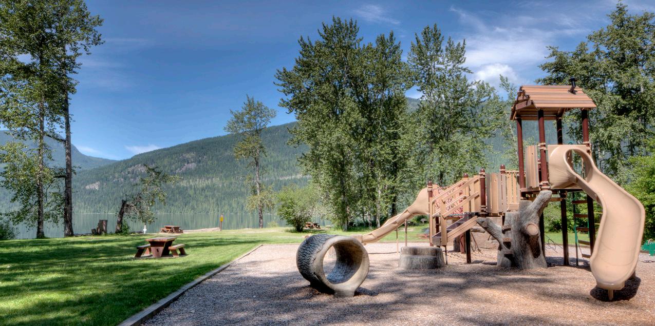
The Manning/Similkameen area features large parks such as Cathedral that are guaranteed to engage the adventurous backcountry visitor but also offer small, quaint parks like Bromley Rock or Stemwinder that provide an ideal base camp to explore the area’s mining heritage.
Parks listed in blue are operated by: Kaloya Contracting Ltd.
Phone: 236-970-7815
Email: questions@campokanagan.ca Website: campokanagan.ca bcparks.ca
Parks listed in orange are operated by: Sunshine Valley Recreation Inc.
dba Manning Park Resort
Phone: 604-668-5953
Email: camping@manningpark.com Website: manningpark.com
Manning Park Visitor Centre
Open daily mid-June – mid-September
7 Allison Lake
Size: 23 ha.
Facilities: 22 campsites and a day-use picnic area next to the lake.
Location: 28 km north of Princeton along Highway 5A.
This is a convenient spot located on the scenic Hwy 5A. Douglas Fir and Pine groves throughout this rustic campground give each campsite a quiet privacy to enjoy the great outdoors. Nearby Allison Lake is a hub for fishing, bird watching and wildlife viewing. Firewood is available for sale. Allison lake now offers reservations on Sites 12-22 from June 13 – September 15. This park accepts CASH ONLY. Open from spring to early fall. Before any visit, check bcparks.ca for updated operating dates and advisories.
Size: 149 ha.
Facilities: 17 campsites and day-use area. (Bromley Rock is 100% reservable).
Location: 21 km east of Princeton on the
Similkameen River right off Highway 3.
Located across from a striking rock bluff along the Similkameen River. The day-use is very popular for picnicking and swimming. This area of the Similkameen River is very popular with kayakers. Reservations are strongly advised during peak season. Firewood is available for sale. This park accepts CASH ONLY. Open from spring to early fall. Before any visit, check bcparks.ca for updated operating dates and advisories.
9 Cathedral
Size: 33,272 ha.
Facilities: *Due to the 2023 Crater Creek Wildfire, at the time of publishing, this park remains closed. Check website for updates*
Location: 3 km west of Keremeos off Highway 3. Take Ashnola Road from the highway and cross a red covered bridge. 10 km later the pavement ends and the Ashnola Forest Service Road, which leads into the park, begins. This road extends 48 km upstream to the south end of the Ashnola Valley.
Cathedral Park is a very popular hiking area, but the season can be very short due to the high elevation and potential for snow. The season is generally mid-June to late September. No vehicles are allowed into the core area on the private access road. Cathedral Lakes Lodge provides jeep transportation service (fee for service) from the base area to the Lodge next to Quiniscoe Lake in the park’s core area, 16 km away. Firewood available for sale. Due to remote location, this park accepts CASH ONLY. Backcountry permits are available at bcparks.ca and can be purchased 2 weeks prior to your arrival date.
Size: 83,671 ha.
Facilities: 450 campsites at 5 campgrounds, also Resort with cabins and lodge rooms. Lightning Lakes (143 sites), Coldspring (66), Hampton (100), and Mule Deer (49). Skyview RV Campground (92).
Skyview RV Campground – 30 summer use sites and 62 year-round.
All year-round sites offer full services with 50-amp power, water, and sewer. The 30 summer use sites have 30-amp power, water and sewer. A large, bright modern wash house is available year-round.
Lodge (41 guest rooms, 5 meeting rooms plus full amenities) and 37 Cabins. Resort features 8 new premium cabins, which sleep 11 people for vacation rental; 41 Lodge rooms; 37 cabins, plus a unique building for groups, called the Last Resort, which has 17 rooms and sleeps up to 50 people. The Manning Park Resort has a restaurant, store and liquor store, and a Loon Lagoon with a Pool, Hot Tub, Steam & Sauna that can be used by campers, for a fee. There are also ten wilderness backcountry camping areas (55 sites), day use areas, group sites, flush toilets, showers, sani-station.
Location: The Resort and main area of the park is about 70 km from both Hope and Princeton.
Winter features: winter camping, snowshoeing, Nordic and Alpine skiing, skating and tubing. Summer features: camping, hiking, biking, stargazing, horseback riding, bird and wildlife watching, fishing, canoeing/kayaking/paddle boarding (boat rentals available) and new playground. Manning Park is a popular four-season destination area in British Columbia with driving access to the Sub-Alpine Meadows in the summer. It is also the end point of the Pacific Crest Trail spanning from Mexico to BC.
11 Otter Lake
Size: 51 ha.
Facilities: 45 campsites, day-use area, boat launch, pit and flush toilets. (Otter Lake is 100% reservable.)
Location: 33 km north of Princeton on Coalmont Road, which is a 38 km paved road.
This park offers a day-use area in the village of Tulameen and a lakeside campground about 5 km from village. Wildlife viewing includes otters, beavers, mountain goats, cougars, and grizzly bears in more remote sections. Reservations are strongly advised during peak season. Accessing the park using secondary forestry roads from B.C.’s Lower Mainland, as suggested by Google and Apple, is not recommended. These routes are unreliable.
This park accepts CASH ONLY. Firewood is available for sale. Open from spring to early fall. Before any visit, check bcparks.ca for updated operating dates and advisories.
Size: 4 ha.
Facilities: 27 campsites, hand water pump, pit toilets. (Stemwinder is 100% reservable.)
Location: 35 km east of Princeton on Highway 3.
This is a small quiet camping park along the Similkameen River amongst mature Douglas Fir and Ponderosa Pine trees. The park is located about 35 km east of Princeton on Hwy #3 near Hedley, BC. Firewood is available for sale. Reservations are strongly advised during peak season. This park accepts CASH only. Open from spring to early fall. Before any visit, check bcparks.ca for updated operating dates and advisories.
For those looking for a place to swim, to take a boat ride or to relax for a few days, South/ Central Okanagan has everything you need. With several parks situated right at the edge of Okanagan Lake, you are sure to find an ideal spot to fall in love with. There are numerous activities for the entire family including horseback riding, cycling, touring on land and water, rock climbing, wildlife and bird watching, and so much more.
Parks listed in blue are operated by: Kaloya Contracting Ltd.
Phone: 236-970-7815
Email: questions@campokanagan.ca
Website: campokanagan.ca bcparks.ca
Please contact Kaloya Contracting Ltd. for general info. Opening and closing dates are subject to change. Please check website for updates and important notices.
For information on parks listed in black visit bcparks.ca
Size: 178 ha.
Facilities: 143 campsites with upgraded flush toilets, showers, sani-station, concession, playground, and picnic area. Newly developed sites 123 – 143 are powered sites. 14 of these sites offer 30 amp power and 7 of these sites are pull-thru’s and offer 50 amp power, water and sewer. Private company offering people non-powered water toy rentals Wednesday through Sunday starting mid-June.
Location: Turn north on Westside Road off Highway 97, 9 km west of Kelowna. The park offers lakeside camping, over 400 metres of sandy beach.
The 5 km of hiking trails in the canyon is restricted due to 2023 Wildfire.
Reservations are strongly advised during peak season as the park will now be 100% reservable from March 27 – October 14. Park is FCFS from March 28 to April 3. Bear Creek has a concession in their gatehouse that sells treats, firewood and ice. Debit, Credit, Cash are accepted. Open from spring to early fall. Before any visit, check bcparks.ca for updated operating dates and advisories.
Size: 21 ha.
Facilities: 7 small rustic campsites, hand water pump, pit toilets.
Location: 6 km north of Oliver on Highway 97. Inkaneep Provincial Park is nestled in tall riverside cottonwoods in a residential area. This park offers wonderful bird watching opportunities. Park users should use caution when hiking around this park; poison ivy is abundant in this area. The park is conveniently located just outside of the town of Oliver. Open mid-May through midSeptember.
Size: 49 ha.
Facilities: 3 Day-use picnic areas (Soorimpt/ Pyramid/Kickininees), pit/flush toilets, boat launch at Soorimpt.
Location: Located 8 to 10 km north of Penticton off Hwy 97. With convenient access off Hwy 97, the three tiny picnic areas provide relaxation as well as boating and fishing opportunities on Okanagan Lake. Check website for updates.
Size: 98 ha.
Facilities: 2 campgrounds: North (80 sites) and South (86 sites plus 8 walk-in tenting sites), South campground has showers, flush toilets, playground and a boat launch. Location: 11 km north of Summerland on Highway 97. North campground has showers and flush toilets.
Located on Okanagan Lake, these parks are a perfect spot for swimming and water activities. North Park is open from May 15 –Sept 15. South Park is 100% reservable and is open from March 28 – October 13. From March 28 – April 3 South Park has FCFS sites. Winter rates apply from October 14 to early November. Reservations are strongly advised during peak season. Firewood is available for sale at both parks. South Park has a concession in their gatehouse that sells treats, firewood and ice. Both parks accept Debit/Credit/Cash. Before any visit, check bcparks.ca for updated operating dates and advisories.
Size: 11,038 ha.
Facilities: 23 kms of rugged hiking trails. Backcountry/walk-in camping. 7 marine sites accessible by boat only.
Location: East side of Okanagan Lake south of Kelowna and north of Naramata. Beautiful rugged beaches and secluded
bays are tucked along 33 km of unspoiled shoreline, with rustic campsites at various points. Vehicle parking available at north & south boundaries of park. Camping fees apply at marine sites and can be paid by e-transfer to etransfers@campokanagan.ca. All camping is user maintained. Check website for updates.
Size: 30 ha.
Facilities: Day-use picnic area, playground, concession, flush toilets. Private company offering people non-powered water toy rentals.
Location: 3 km south of Summerland off the main highway.
The large sandy beach and south facing bay are perfect for swimming and family outings, with large green grassy areas. Check website for updates.
Size: 38 ha.
Facilities: 41 campsites, day-use area, boat launch, flush toilets.
Location: 2 km south of Osoyoos off Highway 97.
Surrounded by warm water and sandy beaches, Haynes Point is a popular destination area in the Okanagan Valley. The park has 80 metres of boardwalk and a viewing platform overlooking a natural marsh. There is a 7 day maximum stay, and reservations are highly recommended from June - September. Firewood is available for sale. Open from early spring to early fall. Before any visit, check bcparks.ca for updated operating dates and advisories.
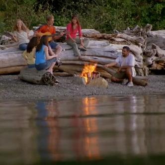
Size: 2 ha.
Facilities: 25 campsites, pit toilets.
Location: 500 metres from the junction of Green Lake Road and Highway 97. Bird watching & nature viewing are popular as well as bat viewing at twilight. The campground is nestled between the foothills of Mt. McLielan and the Okanagan River. Firewood is available for sale. Open from early spring to early fall. Before any visit, check bcparks.ca for updated operating dates and advisories.
Size: 12 ha.
Facilities: 12 campsites, pit toilets, water hand pump, nature boardwalk.
Location: 25 km south of Penticton on Highway 97.
Vaseux Lake Provincial Park is a popular roadside campground that provides excellent fishing opportunities for bass, trout and carp. This park boasts beautiful lakeside sites. It is conveniently located on Highway 97 between OK Falls and Oliver. It is minutes away from amenities and popular tourist spots. Viewing platforms at Vaseux Wildlife Centre offer excellent nature sighting opportunities for birds, aquatic life, mountain goats and big horn sheep. Park users at Vaseux Wildlife Centre should use caution as poison ivy is common in the area. Open late-March to October 31st, 2025. Before any visit, check bcparks.ca for updated operating dates and advisories.
The abundance of camping, outdoor recreation, and wilderness opportunities in the Okanagan/ Boundary Region is limitless. Whether you are looking for biking, hiking, swimming, fishing, river floating, kayaking or just some rest and relaxation, you’ve come to the right spot! This region offers incredibly diverse camping opportunities and boasts incredible parks for you to enjoy. The Boundary Region is one of BC’s premier locations that offers popular family campgrounds such as Kettle River and Texas Creek. Be sure to stop in at some of the hidden gems in this neck of the woods; tranquil destinations such as Conkle Lake, Jewel Lake, and Johnstone Creek are waiting to be discovered! Explore BC Parks in the Boundary Region, you’re sure to find a spot that you’ll fall in love with.
For information on parks listed in black visit bcparks.ca
Size: 2 ha.
Facilities: 17 campsites, flush toilets, water posts.
Location: 4 km west of Greenwood on Highway 3.
Conveniently located along Highway 3, Boundary Creek campground is a well situated overnight stop and popular for
those passing through the Boundary Region. Boundary Creek is a first come, first serve park and often has spots available, even during peaks periods. A slagheap and crumbling stack near the park mark the site of the historic BC Copper Co. smelter, which employed 400 people between 1901 and 1918. The quaint town of Greenwood is minutes away and offers many amenities, including restaurants, cafes and a pub. Open May 2nd to September 21st. Before any visit, check bcparks.ca for updated operating dates and advisories.
Size: 6 ha.
Facilities: Public beach, day-use picnic area, flush toilets, change house.
Location: Off Hwy 3, in the town of Christina Lake.
Christina Lake has a reputation of being one of the warmest lakes in all of Canada and is very popular with families. With its 300m of fine sandy beach, people flock to this swimming destination in the summer months. There is no overnight camping at this location. The closest provincial park campground with overnight accommodation is Gladstone (Texas Creek campground), 10 km east of Christina Lake. Nearby provincial campgrounds that should be able to accommodate last-minute campers in July and August include Boundary Creek, Jewel Lake, and Nancy Greene.
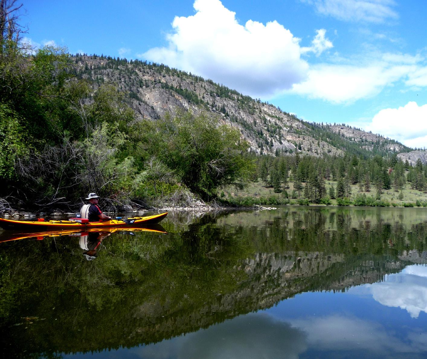
Size: 587 ha.
Facilities: 34 campsites, 2 group sites, public beach, picnic area, boat launch, fishing dock, hiking trails, pit toilets, hand water pump. There is a 10hp boating restriction on the lake.
Location: The best access road is off Highway 3 about 6 km east of Bridesville. Follow Johnstone Creek Road for 25 km to the park. It is a maintained gravel road and takes approximately 40 minutes from the highway turnoff. Other access points off Highway 33 and from OK Falls are not well marked and are unmaintained forestry roads that are not suitable for vehicle traffic.
The campground is located near Rock Creek, BC and offers a rustic family camping experience. Vehicle access is off Hwy 3; follow the logging road 40 minutes from the highway. With 34 private campsites and 2 stunning group sites, Conkle Lake is situated on a secluded lake in the sub-alpine Kettle Valley area. The lake offers rainbow trout fishing, canoeing, swimming and hiking opportunities. There is a small boat launch and fishing wharf. Come enjoy the sunshine, sandy beach and pristine views at this out-of-the-way gem! Sites are often available mid-week, even in the peak season. All sites first come, first serve, with the exception of the 2 group sites, which are reservable through BC Parks. Open Wednesday before May Long to Labour Day.
Size: 39,387 ha.
Facilities: Texas Creek Campground - 63 campsites, showers, flush toilets, boat launch. Marine sites - rustic sites around Christina Lake accessible by boat only. Location: 20 km northeast of Grand Forks on Highway 3 at the north end of Christina Lake. Located on popular Christina Lake in the Monashee Mountains, Gladstone Provincial Park offers fantastic camping and boating opportunities. Texas Creek campground is a destination park for families with 63 beautiful campsites and a newly built adventure playground. This campground has flush toilets and a shower house. Firewood and ice are available for sale. Day use and picnicking can be found at nearby Christina Lake Provincial Park. Gladstone boasts 48 km of hiking / biking trails as well as backcountry horseback trails. Gladstone also has 7 boataccess marine campsites located around Christina Lake that can be accessed via the boat launch near Texas Creek campground. Marine Sites are user maintained. Texas Creek Campground is 100% reservable and reservations are strongly recommended. Texas Creek Campground is open April 17th to September 28th, 2025. The marine sites are open year-round and is first come, first serve, cash only.
Size: 49 ha.
Facilities: 26 campsites, public beach and day-use area, pit toilets, water hand pump. There is a 10hp boating restriction on the lake.
Location: 12 km from Highway 3 east of Greenwood.
Jewel Lake is a popular rustic campground that attracts fishermen, campers, and people looking to explore the great outdoors in Boundary Country. This park is accessed via a paved road and is only 20 minutes from Greenwood, BC.
It is common to spot anglers fly-fishing for rainbow trout on this scenic 3 km long lake. This truly unique provincial park offers stunning views in a wilderness setting.
Campsites are often available for last-minute campers in peak months. This campground is first come, first serve. It is open from spring to early fall. Before any visit, check bcparks.ca for updated operating dates and advisories.
Size: 38 ha.
Facilities: 16 campsites, pit toilets, water hand pump.
Location: 5 km west of Rock Creek on Highway 3.
Johnstone Creek is a quiet, forested campground just off Highway 3. This park offers relaxation in a beautiful nature setting and is a well-situated roadside stop 35 minutes west of Osoyoos. This campground is 5 minutes from Rock Creek and 10 minutes from Kettle River Recreation Area. Campsites are often available for last-minute campers in peak season. This park is first come, first serve and fees are cash only, self-registration. The park has 38 hectares of mature Douglas fir, larch and spruce trees that provide habitat for woodpeckers. Wildlife viewing opportunities can be observed from the short nature loop hike and lookout trail. The park is open from spring to early fall. Before any visit, check bcparks.ca for updated operating dates and advisories.
Size: 179 ha.
Facilities: 113 campsites, 2 large group sites, public beach and day-use area, playground, bike park, shower, flush toilets, sani-station.
Location: 5 km north of Rock Creek on Hwy 33. Kettle River Recreation Area is one of the largest and most popular destination family campgrounds in the Okanagan – Boundary Region. Located minutes from amenities in Rock Creek, it is only 45 minutes from Osoyoos and 90 minutes from Kelowna. Campers will want to bring their bikes and
floaties! This park offers fantastic biking/ hiking opportunities and access to the historic Trans Canada Trail network. In the summer months, campers walk their tubes and floaties to the Kettle River that flows alongside the campground, while others enjoy basking on the sandy beaches and swimming in the river.
The iconic Kettle River Trestle at the day-use serves as a beautiful backdrop for park users and is a great photo opportunity! Reservations are strongly recommended during peak season; however last-minute campers may be able to find a spot. Spring and fall campers enjoy large, sun-filled sites in a peaceful, pristine setting. Firewood and ice are available for sale at the host site.
The park is open April 17th to September 28th, 2025. Before any visit, check bcparks. ca for updated operating dates and advisories.
Size: 203 ha.
Facilities: 14 campsites, day-use area, picnic shelter, swimming beach.
Location: 26 km west of Castlegar on Highway 3
A roadside park with a sub-alpine lake, Nancy Greene Provincial Park is a welcome site for travellers. Only 25 minutes from Castlegar or Trail, this park is a popular overnight stop for tourists and provides day use for visitors wishing to escape the summer heat of the valley. With a large beach area and a picturesque lake, it is the perfect place to enjoy fishing, picnicking, walking, swimming, boating, and nordic skiing in winter. There is a 3.8km hiking / walking trail that circles the lake.
You’ll find beautiful views of the Rossland Range with Old Glory Mountain prominent in the distance. The park is open from spring to early fall. Before any visit, check bcparks.ca for updated operating dates and advisories.

Kootenay Provincial Parks are a combination of spectacular mountains, amazing vistas and impressive rivers and lakes. Four of B.C.’s mountain ranges pass through the region; the Monashees, the Selkirks, the Purcells and the Rockies. In addition, the Kootenay region is home to the majestic Columbia River and the extensive waterways of the Kootenay, Slocan and Arrow Lakes.
The region has incredible opportunities for outdoor recreation activities including hiking, wildlife viewing, boating, swimming, and mountain biking. Explore the region’s mining and forest history. Whatever your pace, the provincial parks in the Kootenay region have all the essentials to create an amazing and memorable outdoor vacation.
Frontcountry and Backcountry Reservations, Permits and Canoe Circuit Reservations. Campsite reservations can be made up to 4 month in advance of arrival date at BC Parks, either online at camping.bcparks.ca (available 24 hrs/day), or through the Call Centre ($5 surcharge applies to transactions) Toll Free from Canada/USA: 1-800-689-9025, Other International: 519-858-6161.
7 days/week, 7am -7pm (PST). (Open holidays except December 25 and January 1).
Full pre-payment of all camping fees and transaction charges is required to secure a reservation. Reservations are not transferable. Please visit bcparks.ca for more information.
West Kootenay South region parks offer a myriad of amenities and activities to suit any vacationer. Whatever your pleasure and desired level of outdoor adventure during the day, the variety of private campsites will have you looking forward to kicking back around the campfire with family and friends. Syringa, Kootenay Lake and Champion Lakes parks offer a holiday destination for relaxed family fun. Syringa situated on the lower Arrow Lake is a local favorite. Kootenay Lake provides access to the world class hiking trails, Jumbo Glacier and Monica Meadows. Champion Lakes is ideal for getting off the grid and back to nature.
Check in to Kokanee Creek, an ideal base camp for those wishing to explore the area’s long mining history or pay a visit to the most family friendly backcountry park, Kokanee Glacier. For the climbing and mountaineering enthusiast, the area is bursting with
opportunities such as the awe-striking Valhalla Provincial Park.
In the West Kootenay North region McDonald Creek and Summit Lake are popular for paddle boarding, boating and fishing. Rosebery Park is in the heart of the Kootenay’s “Silvery Slocan” and historic community of New Denver. The area is rich in mining history, ghost towns, museums, hiking and mountain biking trails.
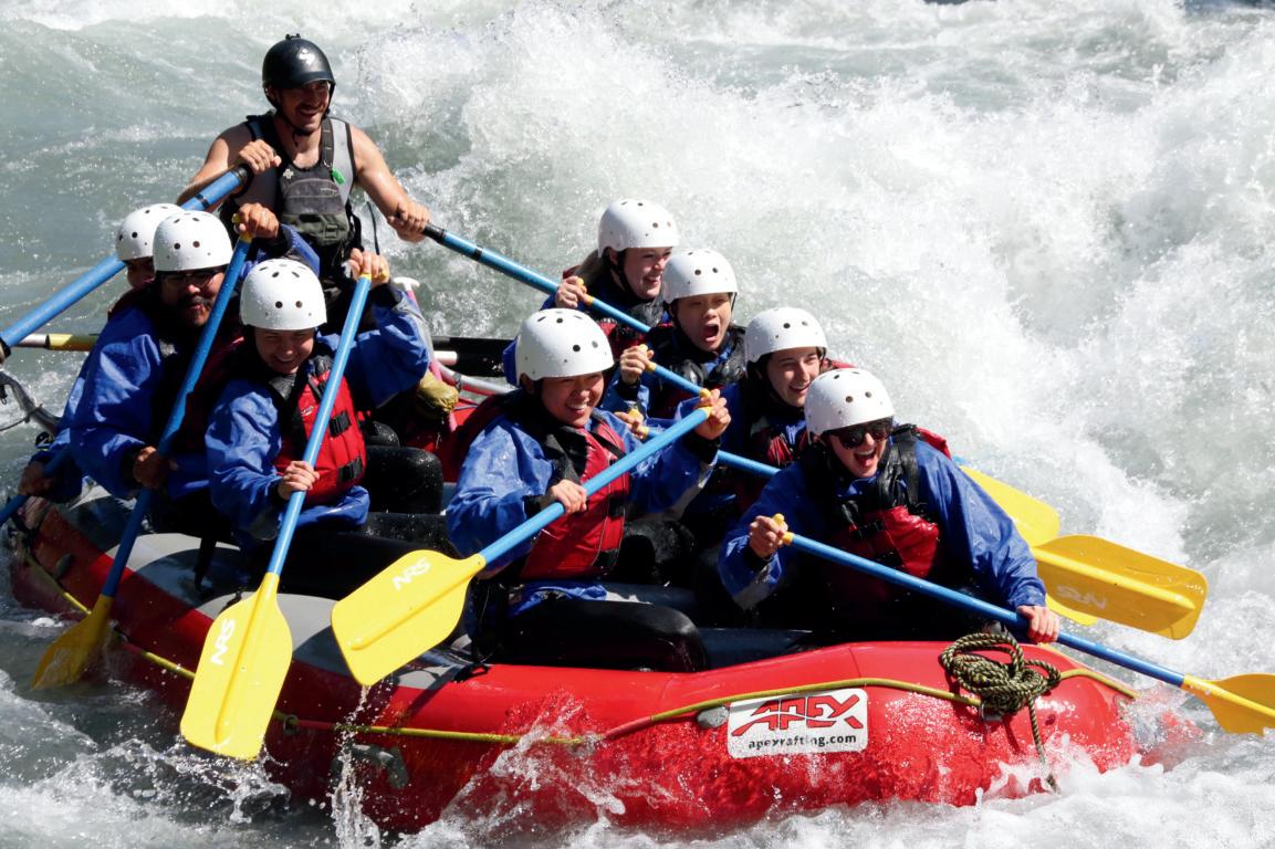
Parks listed in purple are operated by: RAP Park Contracting Ltd.
Phone: 250-825-4212
Email: arpigeon@telus.net
Website: kootenayswparks.com bcparks.ca
For information on parks listed in black visit bcparks.ca
1 Beaver Creek


Size: 81 ha.
Facilities: 19 quiet campsites, of which 10 are reservable, 8 rv-accessible sites, water, large day use grassed area, paved boat launch to Columbia River, covered eating area, showers, pit toilets, open arbor, children’s play area.
Location: 7km southeast of Trail, 8801 Highway 22A.
This park includes 19 quiet campsites in treed area, some sites with panoramic views of the Columbia River, great shore & boat fishing for Rainbow & Walleye, swimming in boat launch area, hiking along Columbia River, pet friendly (on leash), fire pits with wood available, on-site security.
Size: 1,426 ha.
Facilities: 95 campsites in between the 3rd and 2nd lake. 2 day-use picnic areas, boat launch, sani-station and flush toilet facilities.
Location: 6 km northeast of Fruitvale off Highway 3B, or 8 km west of Highways 3 and 3B junction.
This park includes a chain of picturesque small lakes, offers 6.5 km of hiking trails, excellent fishing (non-motorized boats only), canoeing, mountain biking and swimming. First come, first serve sites are also available.
Size: 63 ha.
Facilities: Underground caves, pit toilets, parking lot.
Location: 3 km north of Ainsworth on Hwy 31, off highway on 10 km gravel road. Cody Caves offers spelunkers the opportunity to go underground and view a spectacular range of rock formations and ancient limestone. Access to the caves is by guided tour only, a fee is charged and reservations are required. For more information, please contact bcparks.ca
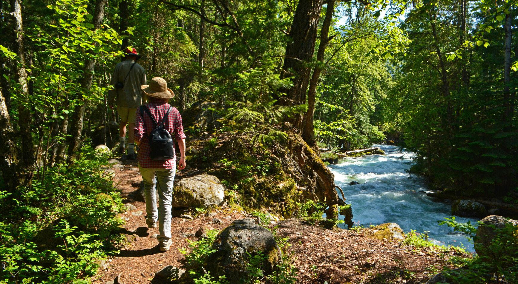
Size: 10 ha.
Facilities: Day-use area, picnic tables.
Location: About 4 km west of Nelson on Highway 3A along the Kootenay River. Local community outdoor recreational opportunities.
Size: 260 ha.
Facilities: 4 campgrounds; Sandspit (113 sites) Redfish (19 sites), Osprey Point (18 sites), and Friends Campground (39 sites including 13 with electrical hook ups), boat launch, 1 group camping site, flush toilets, shower buildings and sani-station. First
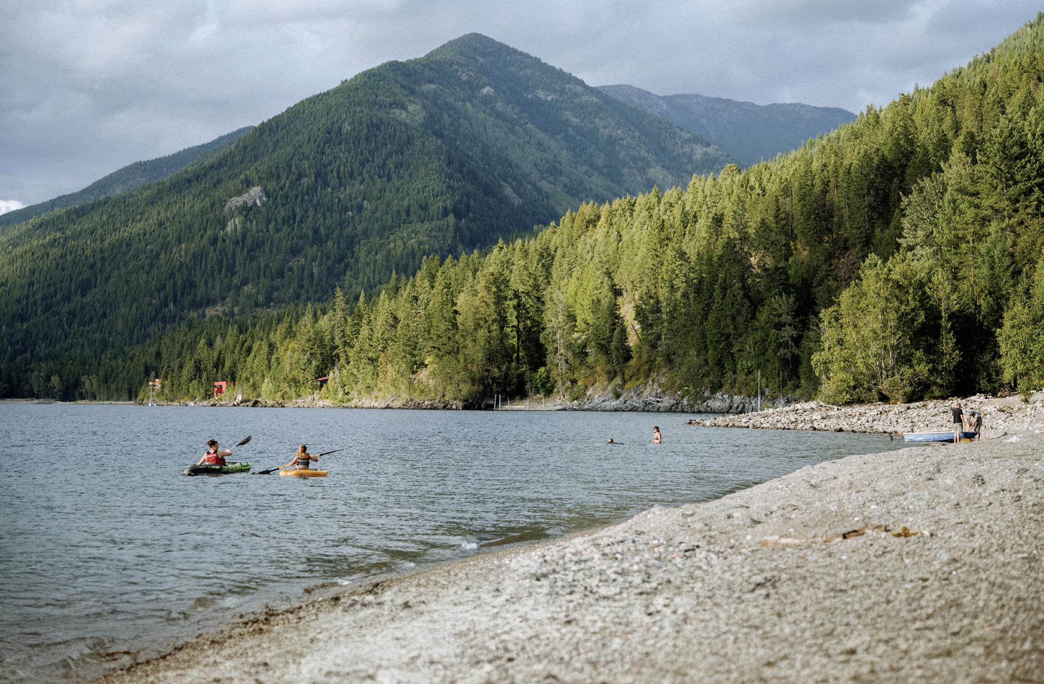
Location: 19 km east of Nelson on Highway 3A. Offering over 1 km of sandy beaches, Kokanee Creek Paddle Sport rentals, hikes with a park naturalist, Kokanee Salmon spawning channel with viewing platforms and a nature center running Jerry Rangers through July & August and Nelson nearby. Epic mountain biking, Kokanee Marina, Kokanee Mountain Zipline, Balfour Golf Course and Ainsworth Hot Springs all within 30 minutes of the park.
(Davis Creek only)
Size: 343 ha.
Facilities: 2 campgrounds at Lost Ledge (14 sites) and Davis Creek (32 sites). Boat launch at Lost Ledge. Campsite reservations are accepted at Davis Creek campgrounds only and first come, first serve sites are also available.
Location: North of Kaslo on Highway 31, situated on the northwestern shore of Kootenay Lake.
Known for outstanding views & lakeside campsites, both campgrounds offer a true opportunity to get away and relax in a beautiful setting. Popular with anglers & paddlers alike.
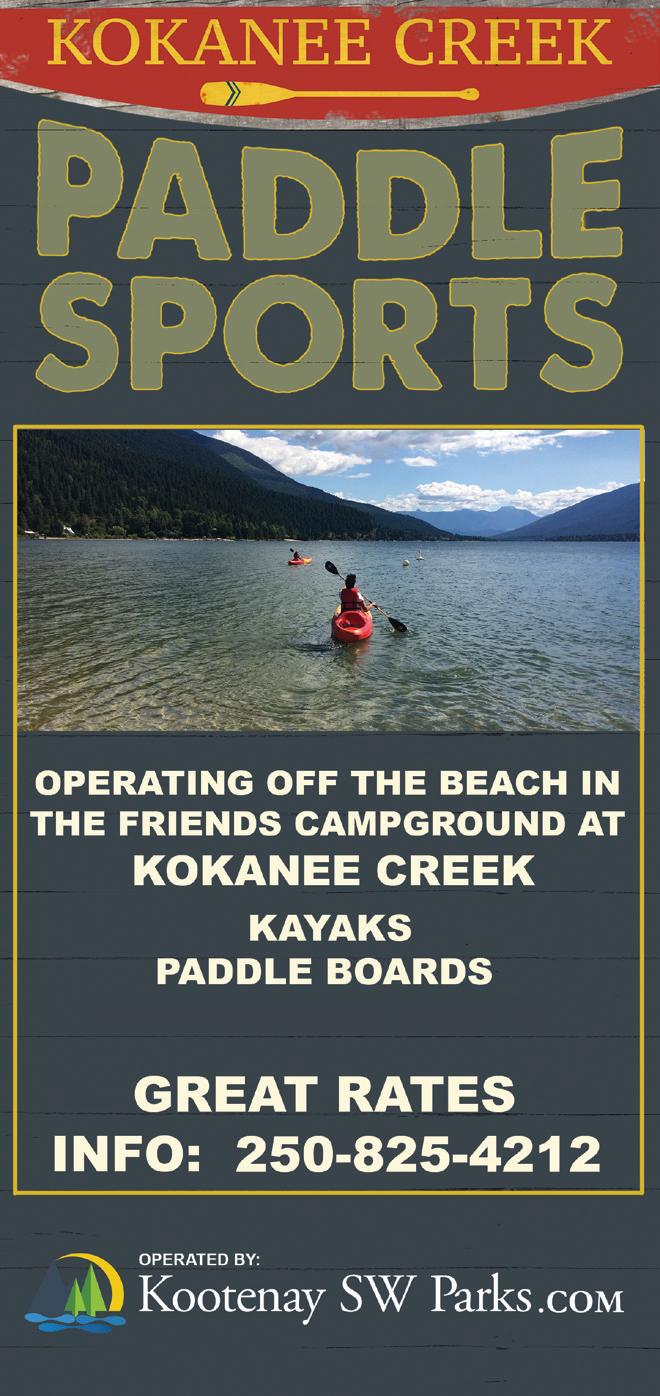
Size: 417 ha.
Facilities: 2 Campgrounds; Main (61 sites) Big Horn (25 sites), boat launches, large day-use area with a sandy beach, shower building, playground and sani-station. Big Horn RV sites offer 9 electrical sites (50-amp service). First come, first serve sites are also available.
Location: 19 km northwest of Castlegar on Broadwater Road.
A popular base camp for families, Syringa offers hiking trails, beach walking, water sports of all kinds & biking. This park has one of the few remaining grassland ecosystems in the Kootenay region making it a hub for wildlife and rare plant/tree species.
Parks listed in orange are operated by:
West Kootenay Park Management Inc.
Email: info@westkootenayparks.com
Website: westkootenayparks.com bcparks.ca
Size: 93 ha.
Facilities: 17 lakeside campsites, boat launch and swimming beach.
Location: 50 km south of Revelstoke on Highway 23 South, along the shores of Upper Arrow Lake Reservoir, close to the Shelter Bay/Galena Bay Ferry.
A popular destination for fishing and boating. Lakeside campsites offer views of the surrounding towering mountains. No running water available until further notice. See bcparks.ca for operation dates.
9 Blanket Creek
Size: 318 ha.
Facilities: 105 campsites, 2 group sites, sani-station, day-use area, showers, flush toilets, playground, coin operated full service sani-station with a potable RV fill. Reservations and FCFS available all season. Location: 24 km south of Revelstoke on Hwy 23 South.
With 105 campsites and two group camping areas, access to this campground has never been better. With a safe and family friendly swimming lagoon, adventure playground, historic homestead site and easy access to scenic Sutherland Falls, this
park offers enjoyment for the entire family. A great staging area for other recreational opportunities for all ages that include nearby national parks, forest recreation trails for hiking and biking close by. Enjoy local hot springs. See bcparks.ca for operation dates.
10 Martha Creek
Size: 71 ha.
Facilities: Recently expanded to 109 campsites. A new loop with 33 large, private forested and lakeview sites were opened in May 2024. Amenities include a flush washroom & shower facility, wharf, boat launch, adventure playground, reservable indoor cook picnic shelter, large day-use field complete with volleyball net, overflow boat trailer parking, and a coin operated full service sani-station with potable water RV fill. A 2-km multi-use trail was opened in July 2024, offering biking and hiking opportunities for all levels. Reservations and first come, first serve available all season. Enjoy camping on the shoreline of Lake Revelstoke or nestle in the forest with wonderful lake and mountain views.
Location: 17 km north of Revelstoke on Hwy 23. Great fishing, and waterfront campsites on Lake Revelstoke make this park popular with local anglers, boaters and families. The park has one of the few sandy beaches on Lake Revelstoke. With its close proximity to Revelstoke, the park offers access to a wide range of activities and attractions. See bcparks.ca for operation dates.
Size: 468 ha.
Facilities: Recently expanded to 111 campsites. Beautiful new loop with 39 additional sites. All new accessible pit toilets, replaced in 2023. Flush toilets, showers, a beautiful sandy beach, boat launch, playground, day-use area with picnic tables and coin operated sani-station. Reservations and FCFS available all season.
Location: On the shores of Upper Arrow Lake, 16 km south of Nakusp on Highway 6. McDonald Creek is the ideal place to spend several days enjoying kms of beautiful fine sandy beaches, swimming, and relaxing in the nearby commercial Nakusp or Halycon Hot Springs. 32 campsites have direct beach access. The park has 18 electrified campsites, a shower building with flush toilets, and a coin operated full service sani-station with potable water RV fill. See bcparks.ca for operation dates.
Trek mountain paths, camp under a canopy of stars by crystal-clear lakes, and meet communities full of character.
Camp in the Arrow Lakes and Slocan Valley this summer—it’s the journey you didn’t know you needed.
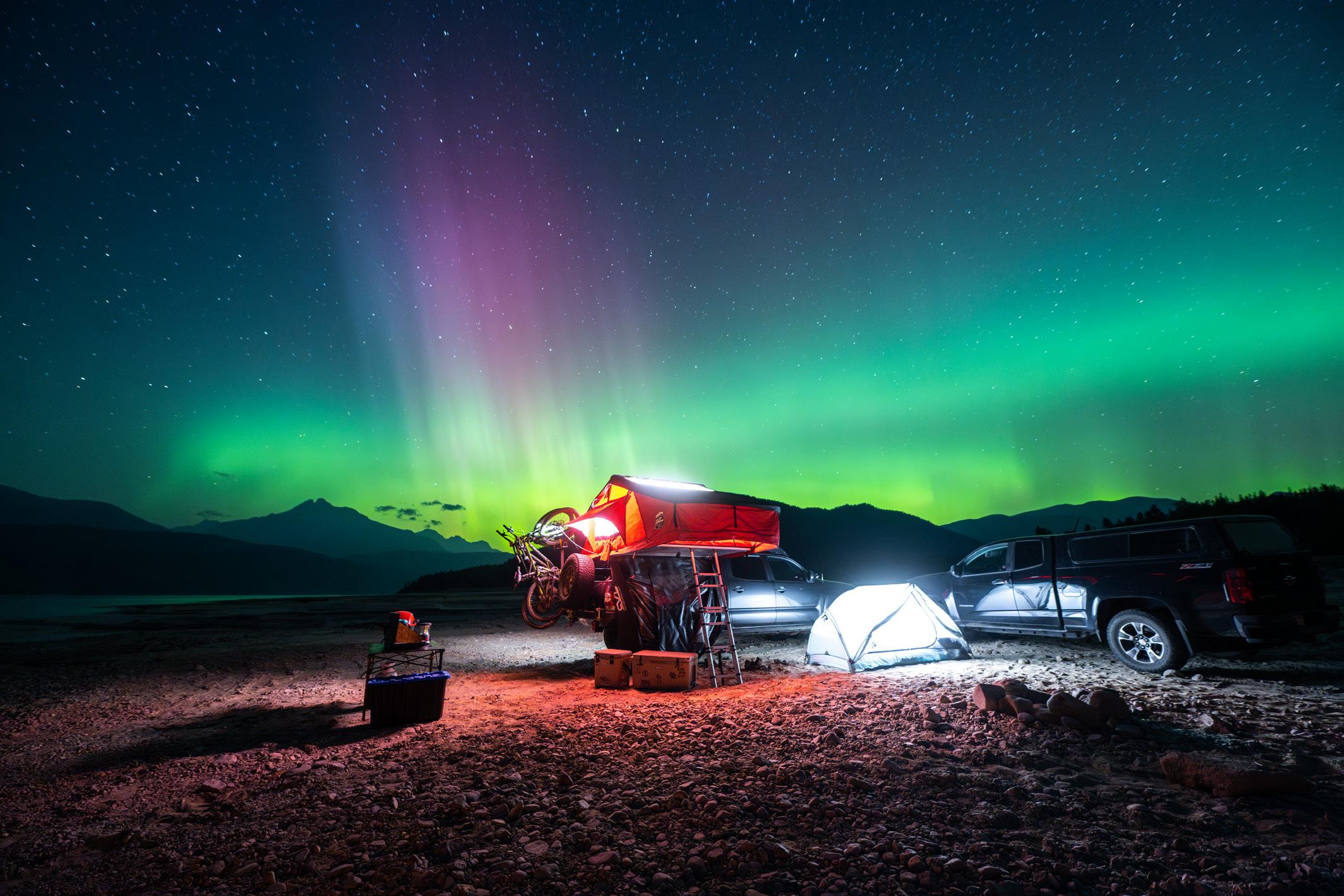
12 Rosebery
Size: 32 ha.
Facilities: 35 newly refreshed and enlarged campsites, hand pump water supply, all new accessible pit toilets and a fantastic new playground. Reservations and FCFS available all season.
Location: 30 km southeast of Nakusp, and 3 km north of New Denver on Highway 6. The park is located on the bank of Wilson Creek, a short walk to the shores of spectacular Slocan Lake.
Rosebery Park is in the heart of the Kootenay’s “Silvery Slocan” and historic community of New Denver. The area is rich in mining history, ghost towns, museums, hiking and mountain biking trails which keep visitors busy for days.
See bcparks.ca for operation dates.
13 Summit Lake
Size: 6 ha.
Facilities: 35 campsites, reservable picnic shelter, day-use area, boat launch. Reservations and FCFS available all season.
Location: On Hwy 6, located 18 km SE of Nakusp.
Easily accessible park offering fishing, canoeing and swimming in the lake’s clear refreshing mountain water. Planning a group event at the park? Why not reserve our picnic shelter for your exclusive use. Follow our website for updates on Toad Fest 2025 held mid-August annually. See bcparks.ca for operation dates.
East Kootenay region offers a treat for the nature lover. Parks such as Premier Lake and Mount Assiniboine, with the abundance of wildlife viewing opportunities, never fail to captivate visitors’ imaginations. Perhaps, stop over at sunny, family-friendly Kikomun Creek Provincial Park, the vacation haven of Moyie Lake or one of several smaller, easily accessible parks. Or, for the history buffs, the area also offers a step back into the 1890’s to the pioneer boomtown of Fort Steele Heritage Town.
Parks listed in red are operated by: EK Parks Ltd.
Phone: 250-422-3003
Email: info@ekparks.ca
Website: ekparks.ca
For information on parks listed in black visit bcparks.ca
Size: 29 ha.
Facilities: 27 campsites, toilets.
Location: 4.5 km south of Radium Hot Springs off Highway 93/95. This cozy campground offers a shady retreat under the peaks of the Standford Range amid the Rocky Mountains.
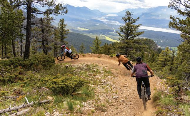
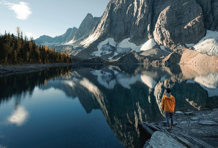
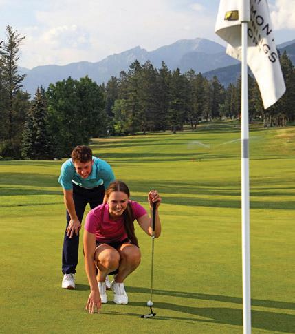
Size: 14 ha.
Facilities: Day-use area, sandy beach, grassy play area, toilets, playground.
Location: At the north end of Windermere Lake, 3 km off Highway 93/95 at the Invermere access road, 2 km from Invermere town center.
Popular activities include windsurfing, canoeing, and kayaking.
16 Mount Assiniboine
Size: 39,050 ha.
Facilities: Wilderness, backcountry and walk-in camping.
Location: West of the BC-Alberta border 48 km southwest of Banff. Park access is by trail or helicopter only.
The most popular hiking trails start from Kootenay National Park to the west and from Spray Lakes, south of Canmore, Alberta. Popular activities include camping, hiking, mountain climbing, as well as fishing and ski touring in the winter. BC parks requires
reservations for backcountry camping at Magog Lake, Og Lake and Porcupine Campgrounds. During summer and winter, reservations can be made for the Hind Hut and Naiset Huts by contacting Mount Assiniboine Lodge, phone 403-678-2883 or info@assiniboinelodge.com. For more information, please visit bcparks.ca.
Size: 259 ha.
Facilities: 68 campsites, day-use area, showers and flush toilets.
Location: 3 km south of Fernie on Highway 3. This park is a popular destination for mountain biking and fishing in nearby Elk River.
18 Premier Lake
Size: 662 ha.
Facilities: 57 campsites, large lakeside dayuse area, boat launch.
Location: Access is from Highway 93/95, 72 km north of Cranbrook; the well-marked
turnoff leads east to a 15 km paved and gravel road to the park.
The park encompasses 4 smaller lakes popular for fishing: Canuck, Yankee, Cats Eye, and Quartz.
19 Wasa Lake
Size: 144 ha.
Facilities: 104 campsites, 4 large lakeside day-use areas with flush toilets, showers and boat launch.
Location: 40 km north of Cranbrook or 102 km south of Radium Hot Springs and 1 km east of Highway 93/95.
This park protects a grassland ecosystem, which includes a portion of North America’s most northern Ponderosa Pine forest.
The park offers swimming, hiking, cycling, boating and nature viewing opportunities.


20 Whiteswan Lake
Size: 1,994 ha.
Facilities: 115 campsites in 5 campgrounds: Alces Lake with a sani-station; Packrat Point with a boat launch; Inlet Creek; and Home Basin with a boat launch.
Location: Access is from Highway 93/95. Turn east 4.5 km south of Canal Flats onto the gravel Whiteswan Forestry Road for 25 km. The Lussier Hot Springs are located near the west boundary of the park at kilometre 17.5. Wilderness, backcountry or walk-in camping is allowed at Cave Creek on the north shore of Whiteswan Lake. Visitors must practice “Leave No Trace” camping ethics - pack out what you pack in.
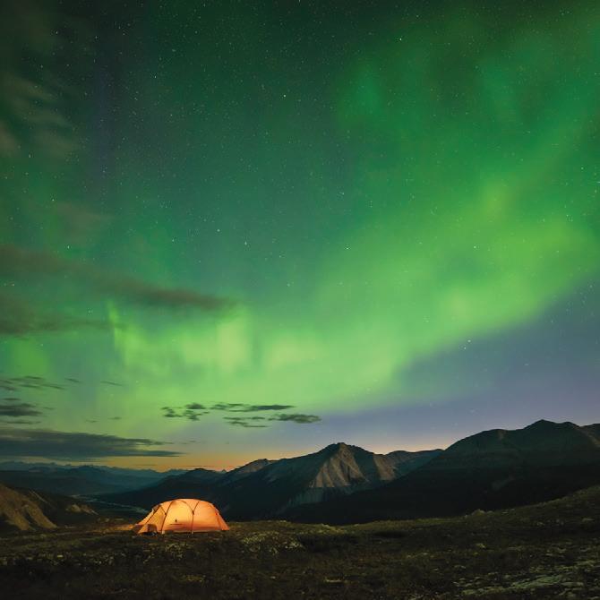
Parks listed in red are operated by: EK Parks Ltd.
Phone: 250-422-3003
Email: info@ekparks.ca
Website: ekparks.ca
Size: 13 ha.
Facilities: 35 campsites, large waterfront day-use area.
Location: 5 km east of Cranbrook on Highway 3/95.
This area promotes swimming and nonmotorized boating, as well as tobogganing and ice-skating in the winter.
Size: 682 ha.
Facilities: 172 campsites (10 of which have power hookups) and 2 cabins, showers, flush toilets, sani-station, playground and 2 large lakeside day-use areas.
Location: From the east, turn off Highway 3, 3 km west of the Highway 3/93 junction at Elko. The park entrance is 8 km to the west. From the west, turn off Highway 3 at Jaffray, and the park is 16 km south.
The park offers various recreational
opportunities for families and visitors to view the painted turtles species. Do not disturb, abuse, or remove turtles.
Size: 3 ha.
Facilities: 18 campsites, large lake access day-use area on Kootenay Lake.
Location: 40 km north of Creston on Highway 3A or 19 km south of Crawford Bay on Highway 3A.
This small park provides the only opportunity for camping along the south arm of Kootenay Lake.
Size: 90 ha.
Facilities: 111 campsites, day-use area, adventure playground, hot showers, sanistation and boat launch.
Location: 20 km south of Cranbrook off Highway 3/95.
The facility is the only public access to the mountain waters of Moyie Lake and features 1,300 metres of developed beach.
Size: 97 ha.
Facilities: 46 campsites, day-use area and a non-motorized boat launch.
Location: 18 km north from Highway 3 and 16 km south from Highway 93/95 near Cranbrook.
Norbury Lake encompasses Peckham’s Lake, which is abundant in Rainbow trout. Long stay camping is only available in the spring from park opening to June 14th.
26 Yahk
Size: 9 ha.
Facilities: 26 campsites, small riverside day-use area.
Location: Along Highway 3/95, 70 km south of Cranbrook.
This park is near the Moyie River in a quiet forest setting.
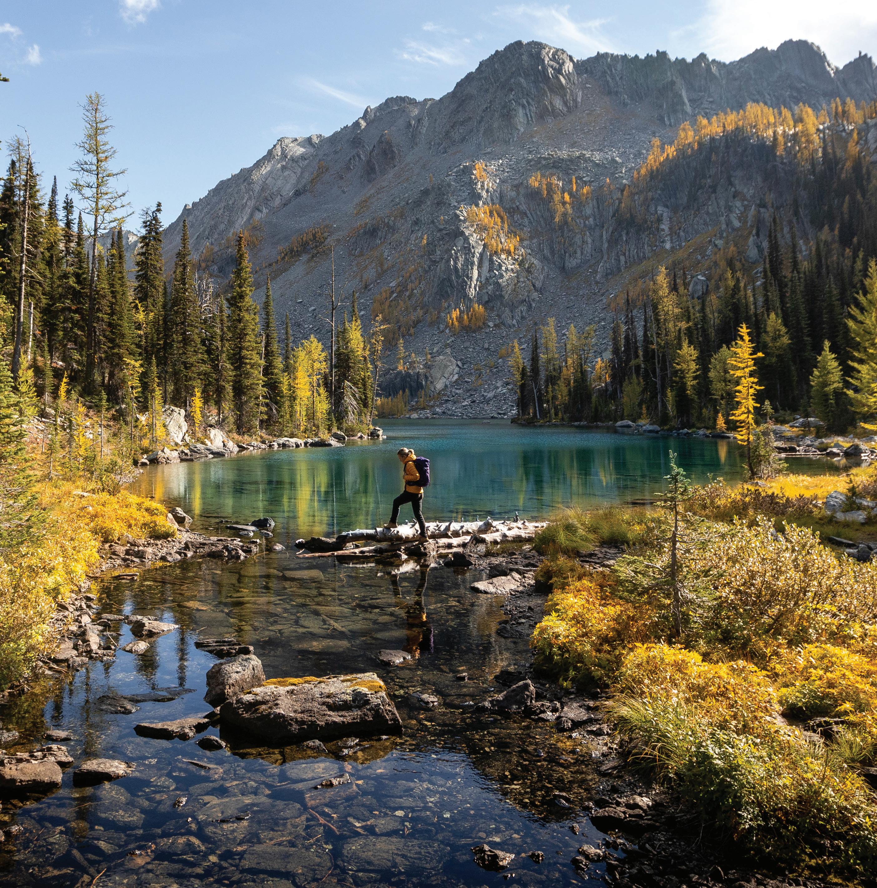
Thompson Provincial Parks offer spectacular waterfalls and an endless list of outdoor experiences. You can take a relaxing canoe trip on Murtle Lake in Wells Gray Park, battle the whitewater on a rafting trip down the Thompson River or settle down with a campfire in the numerous parks.
The Thompson’s lakes and rivers are world renowned for their rainbow trout, steelhead and salmon fishing. The Adams River sockeye run is legendary, and just one of many exciting salmon returns that occur in the Clearwater, Shuswap, Raft, and Thompson River basins. Whatever your level of adventure and with so much to see, you’ll be hard pressed to fit it all in.
BC Parks Camping Reservations: Frontcountry and Backcountry Reservations, Permits and Canoe Circuit Reservations. Campsite reservations can be made up to 4 month in advance of arrival date at BC Parks, either online at camping.bcparks.ca (available 24 hrs/day), or through the Call Centre ($5 surcharge applies to transactions) Toll Free from Canada/USA: 1-800-689-9025, Other International: 519-858-6161. 7 days/week, 7am -7pm (PST). (Open holidays except December 25 and January 1).
Full pre-payment of all camping fees and transaction charges is required to secure a reservation. Reservations are not transferable. Please visit bcparks.ca for more information.
Wells Gray Provincial Park is world-renowned for its amazing scenery, pristine wilderness and outdoor adventures. Home to Helmcken Falls, a waterfall three times the height of Niagara and Murtle Lake, North America’s largest canoe only lake, Wells Gray is a must visit on your trip to the Thompson Region.
For information on parks listed in black visit bcparks.ca
Parks listed in orange are operated by: Shuswap Adams Parks Ltd. Email: info@campbc.ca Website: campbc.ca
Wells Gray
Size: 540,000 ha.
Facilities: 165 campsites, 146 wilderness sites, picnicking, pit toilets, sani-stations, playground, boat launches.
Location: Access off Highway 5 from Clearwater and Blue River, or Highway 97 from 100 Mile House.
Wells Gray features alpine meadows, towering mountains, cavernous gorges and spectacular waterfalls. Wells Gray is worldrenowned and offers hiking trails for both novices and veterans, fly fishing, canoeing, guided hiking and horse- back trips, kayaking, and white water rafting.
The following areas offer campgrounds within Wells Gray Provincial Park:
Facilities: 13 wilderness/canoe camping areas, with 54 sites in total. Sites feature picnic tables and fire rings, outhouses and bear caches.
Location: Camping accessible only by boat, water taxi, or canoe from south end of lake. Campsites spread over 52 km on 2 beautiful lakes. Waterfalls, fish and birds abound. There is limited firewood available. Advance pay through BC Parks.
2 Clearwater
Facilities: 80 campsites, sani-station, potable water, picnic tables, fire rings, outhouses, day-use areas and a boat launch.
Location: Along the best-known access route into Wells Gray Park from Clearwater; 65 km from information centre on the park road.
Hiking trails, seasonal interpretive programs, canoe rentals, fishing, swimming, and boating.
Facilities: Day-use area, viewing platform, picnic site, bus and large motorhome parking.
Location: 45 km from Clearwater Information Centre on the park road. World famous Helmcken Falls, are approximately 3 times the height of Niagara Falls.
4 Mahood Lake
Facilities: 50 campsites, pump water, outhouses, picnic tables and fire rings.
Facilities: 34 frontcountry sites and three backcountry sites, a day-use area, playground, boat launch, and pit toilets.
Location: Access off Highway 24 at Bridge Lake or Highway 97 at 100 Mile House. The area features a playground, swimming beach, boat launch, hiking trails and waterfalls. Excellent lake fishing, as well as fly-fishing in local streams.
Facilities: 69 backcountry and boataccessible campsites.
Location: 27 km west from Highway 5 at Blue River, and then a 2.5 km portage. North America’s largest canoe-only lake offers 100 km of shoreline, sandy beaches, rustic campsites with outhouses, bear caches and fire rings. There is limited firewood available. Advance pay through BC Parks.
Location: 42 km on the park road, then 1 km east at turn off.
Hiking trails, excellent wildlife viewing and Murtle River fishing. No reservations.
Facilities: Day-use area, flush toilets. Location: 10 km north of Clearwater on Clearwater Valley Road.
A spectacular waterfall, canyon views, parking for tour buses and large motorhomes.
Size: 126 ha.
Facilities: 53 campsites, paved roads, hiking and jogging trails, playground and a sanistation.
Location: 5 km south of Clearwater, just off Highway 5.
Although not part of Wells Gray, this is an excellent base camp for exploring the region. Here you will find First Nations historic sites, as well as access to the North Thompson River.
The Thompson Region’s geodiversity is striking. Near Merritt, you will find desert oases and carved rock canyons, as well as numerous great rock-climbing areas. While you’re there, hike the old Cariboo Wagon Trail for a taste of the region’s interesting history. The area offers fantastic kid friendly fishing holes too!
Parks listed in orange are operated by: Shuswap Adams Parks ltd.
Email: info@campbc.ca
Website: campbc.ca
Size: 55 ha.
Facilities: Day-use area.
Location: 40 km north of Hope via the Trans Canada Highway (Hwy #1).
Around the original Cariboo Wagon road. An easy walk to historical Alexandra Bridge. Convenient rest stop for passing travellers.
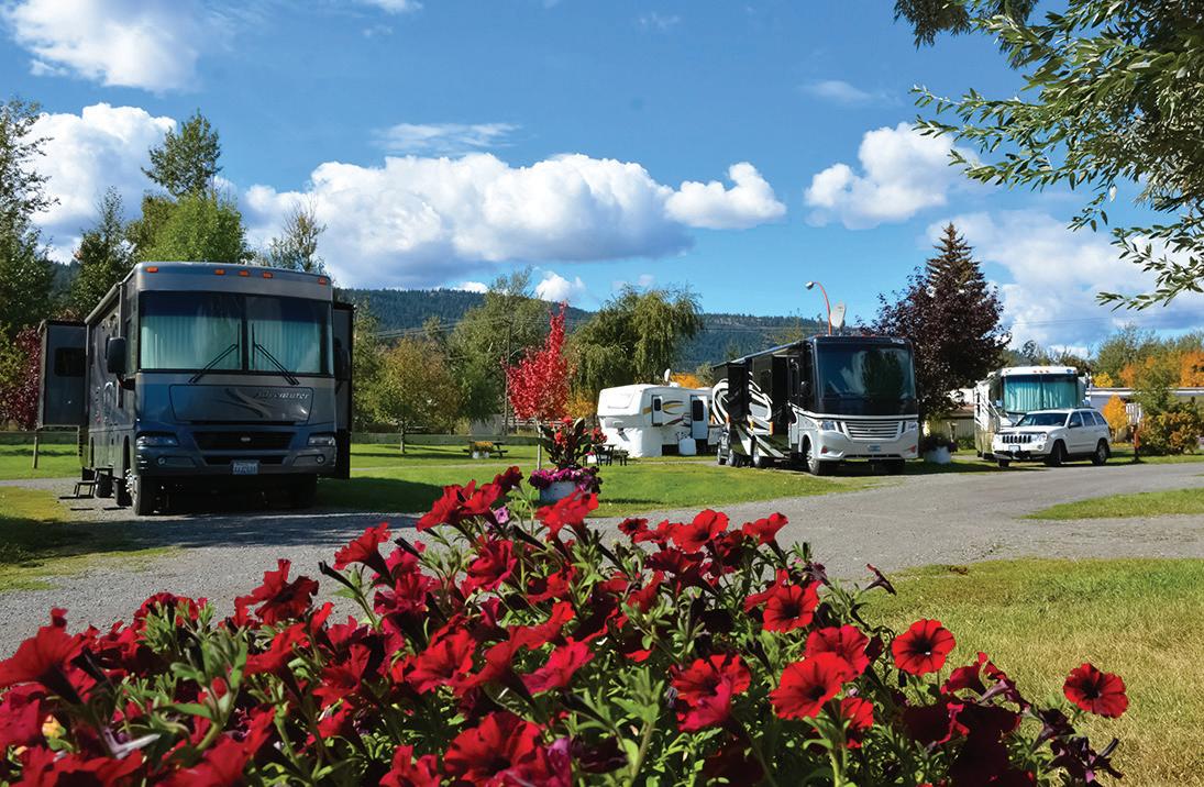

CLAYBANKS RV PARK IS NEWLY RECONSTRUCTED! Camp in sunny Merritt, BC, on the banks of the beautiful Coldwater River at Claybanks RV Park — now available year-round! Includes 46 large fully serviced, secure sites suitable for up to 65' long by 20' wide recreational vehicles. The facility includes heated showers, washrooms, water, sewer, and 30 & 50 amp electrical hook-ups. Limited winterized sites available. Leashed or kenneled pets welcome.
ACTIVITIES: Horseshoe Pit, Bocci Ball, River Trails, Golf (discount available), and more.
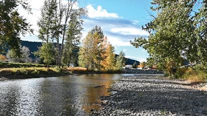
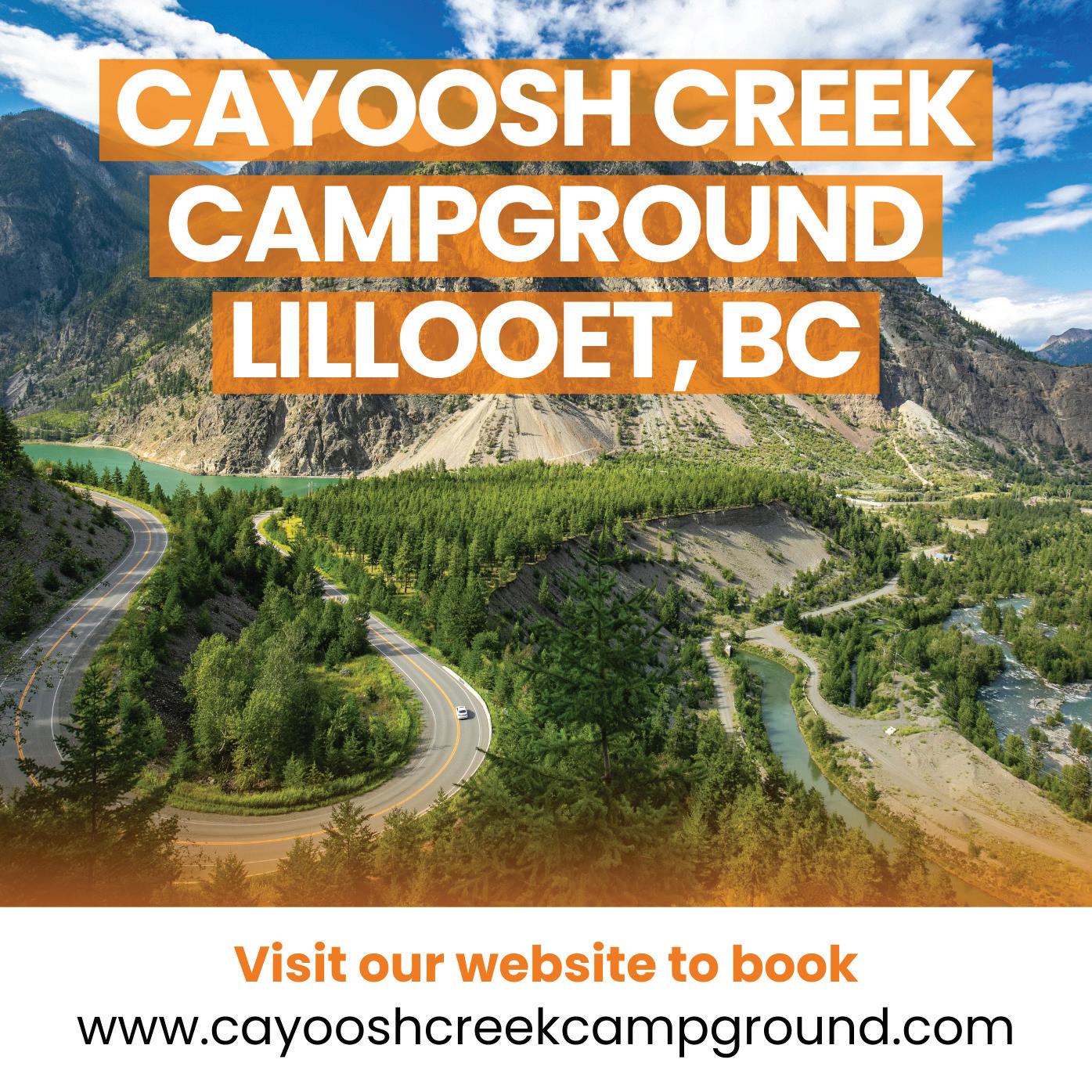
Size: 5 ha.
Facilities: 14 campsites, picnic area, pit toilets.
Location: On the south shore of the Thompson River, 10 km south of Spences Bridge on the Trans Canada Highway. Fishing, train-spotting, white-water rafting, kayaking, and wildlife viewing are popular. Open from late spring to early fall. Check bcparks.ca for updates..
Size: 260 ha.
Facilities: 32 campsites with 30 amp electrical and water hook ups, separate grassed tenting area with tables and fire pits, sani-station, and a sandy beach with a natural swimming pool.
Location: 19 km east of Cache Creek on Highway 1, on the north shore of the Thompson River.
Wild prickly pear cacti bloom in abundance. Fishing, hiking, train-spotting, kayaking, and boating are popular. Open from late spring to early fall. Check bcparks.ca for updates.
Size: 144 ha.
Facilities: 79 campsites on Kentucky and Alleyne Lakes, West & East Ponds, 2 car-top boat launches, private group camping area.
Location: 38 km south of Merritt off Highway 5A & Bates Rd.
Azure lakes set in grassland surrounded by forest; top fishing destination also featuring two “children-only” fishing ponds; other activities: hiking, canoeing, bird and wildlife viewing. Open from late spring to early fall. Check bcparks.ca for updates.
Size: 355 ha.
Facilities: 30 campsites; pebble beach.
Location: 1/2 hour east of Lillooet off Hwy 99. The park is set amidst towering cliffs of coloured limestone, and encompasses Turquoise, Crown and Pavilion Lakes. Campsites are situated in open forest on the lakeshore of Crown across lake from waterfall. The beach is gradual and safe even for small children. Rock-climbing, hiking, scuba diving, fishing and wildlife viewing are popular. Open from late spring to early fall. Check bcparks.ca for updates.
Size: 112 ha.
Facilities: 132 campsites; large, shaded day-use with beach and float enclosed swim area, flush toilets, sani-station, boat launch, gatehouse, amphitheater, hiking trails, First Nations archaeological sites, lava beds, playground.
Location: 22 km north of Merritt off Highway 5A & Monck Park Rd on Nicola Lake.
Excellent family camping with opportunities for windsurfing, fishing, boating, hiking, and bird watching. Enjoy the annual Aboriginal Day Festivities June 21st. Open from late spring to early fall. Check bcparks.ca for updates.
Size: 33 ha.
Facilities: 58 campsites, flush toilets, sanistation, picnic area with pet walk & fabulous Thompson River Canyon views.
Location: 6 km east of Lytton on Hwy 1. 8 km of hiking trails including portions of the Gold Rush Cariboo Wagon Trail; campsites are large, quiet & peaceful offering spectacular views of the Coast Mountain range; park is a great base camp for Stein Valley treks and white-water rafting tours. Open from late spring to early fall. Check bcparks.ca for updates.
The Thompson River and Shuswap area is a boater’s paradise. Shuswap Lake Provincial Park allows access to the extremely popular lake as well as boat accessible Copper Island. For those who are land based, the area offers fantastic hot weather, beaches and various outdoor, family friendly activities.
Parks listed in green are operated by: Silvertip Park Services Ltd.
Email: info@campbc.ca Website: campbc.ca
Parks listed in orange are operated by: Shuswap Adams Parks Ltd.
Email: info@campbc.ca Website: campbc.ca
Size: 56 ha.
Facilities: 31 campsites, pit toilets, gravel boat launch.
Location: On the southwestern shore of Adams Lake, 15 km from Highway 1 at Squilax. Take the Holding / Adams Lake West road- off the Squilax-Anglemont Rd. Activities include hiking, cycling, swimming & fishing.
17 Herald
Size: 79 ha.
Facilities: 128 campsites, boat launch, sanistation, pit and flush toilets, potable water and hot showers.
Location: 14 km west of Salmon Arm on Hwy 1.
Swimming, fishing and bird-watching are popular activities, as is the self-guided nature walk to Margaret Falls. Herald is a great spot to use as a base camp for visiting the many attractions of the Shuswap area.
Size: 238 ha.
Facilities: 29 campsites and a boat launch (10 hp motor restriction).
Location: Up 8 km of gravel road, northwest from Highway 1 at Chase.
Offers rustic camping but popular for swimming, fishing and boating.
Size: 149 ha.
Facilities: 330 campsites, boat launch, sani-station, flush toilets and hot showers. Location: 19 km off Highway 1 at Squilax exit, on the north shore of the main arm of Shuswap Lake.
A very popular family destination that offers activities such as hiking, cycling, swimming, water sports and fishing.
Size: 896 ha.
Facilities: 23 areas around the perimeter of Shuswap Lake have campsites.
Location: Water access only with launch facilities located around Shuswap Lake. 3 of the areas have vehicle access as well. Shuswap Lake is one of the most used lakes in British Columbia, especially for houseboats during the summer season. All locations are popular for fishing and water sports.
Size: 130 ha.
Facilities: 35 marine and vehicle-accessible campsites, and a sandy beach.
Location: Water access - north end of Seymour Arm of Shuswap Lake. Land access - from Highway 1 at Squilax, it is 83 km, with 42 km on gravel.
Ideal summer holiday for swimming, boating, fishing, or just soaking up the sun.
Size: 1,076 ha.
Facilities: Day-use area
Location: On both sides of the Adams River, 5 km from Highway 1 at Squilax.
BC Parks has partially reopened an area of Tsútswecw Park that was spared by the Bush Creek East Wild Fire, in particular, trails and forested areas South East of the main plaza parking lot.
Fascinating place to visit, especially in early Oct. during the annual Adams River Sockeye salmon spawning run.
Size: 266 ha.
Facilities: no designated sites, boat launch (suitable for small car-top type boats only)
Location: 10 km northeast of Highway 1 from Balmoral (west of Salmon Arm); the last 2 km on a logging road.
Activities include self-contained camping, swimming and excellent fishing opportunities.

Step into the past, visit the Shuswap's Largest
Step into the past, visit the Shuswap's Largest
Heritage Attraction!
Heritage Attraction!
Children’s Discovery Centre
Children’s Discovery Centre
Licensed Restaurant
Licensed Restaurant
Dinner Theatre
Dinner Theatre
Weddings & Events
Weddings & Events
Gift Shop
Gift Shop
Museum
Museum
Heritage Village
Heritage Village
Walking Trails
Walking Trails
Free summer fun! Kids 12 and under enjoy free admission in July and August, thanks to the Shuswap Rotary Club!
In the Kamloops area, sandy cliffs and dry arid rolling hills provide an ideal playground for mountain bikers and ATV enthusiasts. While visiting Kamloops, drop by the BC Wildlife Park, showcasing the best of the region’s indigenous wildlife including Grizzly bears, cougars, lynx, and Burrowing owls.
Parks listed in orange are operated by: Shuswap Adams Parks Ltd. Email: info@campbc.ca Website: campbc.ca
24 Lac Le Jeune
Size: 213 ha.
Facilities: 144 vehicle-accessible campsites, day-use area, boat launch, sani station, flush toilets, playground, jogging and hiking trails and a wheelchair accessible dock for fishing.
Location: 5 km from the Coquihalla Highway, 37 km south of Kamloops. Activities include fishing, cycling, jogging, hiking, and wildlife viewing. Ice and firewood for sale.
25 McConnell Lake
Size: 102 ha.
Facilities: Day-use area.
Location: 7 km from the Coquihalla Highway on Hwy 5, 37 km south of Kamloops. Popular activities include hiking, cycling, wildlife viewing and fishing. Camping is available at Lac le Jeune Provincial Park 2 km west.
26 Paul Lake
Location: 36 km southeast of Kamloops via gravel road from Hwy 5A at the north end of Trapp Lake.
Roche Lake and the surrounding lakes are considered world class trout fishing lakes. Activities include fishing, hiking, cycling, wildlife viewing, rock climbing and ATV-ing. Firewood is available for sale.
28 Steelhead
Size: 670 ha.
Facilities: 90 campsites, day-use area that has flush toilets, group campsite, sani-station, flush and pit toilets and a playground.
Location: Off Hwy 5, 4 km north of Kamloops, then take Pinantan Road 19 km to the campground.
Activities include fishing, hiking, cycling, wildlife viewing and a variety of water sports. Firewood is available for sale.
27 Roche Lake
Size: 2,041 ha.
Facilities: 33 campsites between 3 camping areas: Roche North, Roche West and Horseshoe Campgrounds. Boat launch and pit toilets.
Size: 38 ha.
Facilities: 44 campsites, hot showers, flush toilets, some sites with 30 amp power outlets and water.
Location: At the outlet of Kamloops Lake in Savona, 40 km west of Kamloops on Hwy 1.
The park features a beautiful beach. A boat launch is located nearby in the town of Savona. Activities include fishing, hiking, all types of water sports and cycling. Ice and firewood are available for sale.
29 Tunkwa
Size: 5,100 ha.
Facilities: 275 campsites between 3 camping areas: Tunkwa Lake, Leighton and North Leighton Campgrounds. 55 traditional camping sites, and 220 informal sites. This park also offers some designated
“long-stay” sites which require a booking of minimum four consecutive weeks. Also offers a boat launch, pit toilets and day-use area.
Location: 25 km south of Savona or 16 km north of Logan Lake on the Tunkwa Lake Road.
Tunkwa and Leighton Lakes are world-class trout fishing lakes. Activities include fishing, hiking, cycling, wildlife viewing, ATV-ing, and horseback riding. A corral is available to horseback riders at the North Leighton campsite within the park. Wild horses can often be seen grazing the open meadows around Tunkwa Lake. Firewood is available for sale.
30 Walloper
Size: 55 ha.
Facilities: Day-use area, boat launch, and a dock.
Location: 1 km from the Coquihalla Highway on Hwy 5, 37 km south of Kamloops. Popular activities include hiking, cycling, wildlife viewing and fishing from the dock. Camping is available at Lac le Jeune Provincial Park 4 km east.
Day-use areas are open to all visitors, ee of charge.
The Cariboo Chilcotin Coast was discovered during the gold rush a century and a half ago and offers visitors a true “Wild West” experience. The region is built for exploration and discovery. From lazy days in the saddle to the chance to make your own little gold strike, set up camp at one of the region’s spectacular provincial parks and let the adventures begin. The Cariboo has the world-renowned Bowron Lake Canoe Circuit, Barkerville Historic Town and a section of highway known as the “fishing highway” (Highway 24 between Lone Butte and Little Fort). The road has more than 100 lakes within an hours’ drive. Set up base camp at Bridge Lake and Green Lake to experience this region.
The Chilcotin stretches west beyond the Fraser River to the peaks of the Coast Mountain Range. Visitors can hike beyond the trails, fish in isolated lakes and raft thrilling whitewater. Don’t miss the volcanic mountains of Tweedsmuir (South) Provincial Park, one of B.C.’s last truly great wilderness areas. The park has enough access points to make it worth the trip for even the average outdoor enthusiast.
The Coast offers adventurers wanting to get off the well-trod beaten path over 15,000 km of awe-inspiring coastline scattered with coves, inlets and rocky shores. The Coast has some of the world’s best saltwater fishing and wildlife viewing of sea birds, whales and porpoises.
BC Parks Camping Reservations: Frontcountry and Backcountry Reservations, Permits and Canoe Circuit Reservations. Campsite reservations can be made up to 4 month in advance of arrival date at BC Parks, either online at camping.bcparks.ca (available 24 hrs/day), or through the Call Centre ($5 surcharge applies to transactions)
Toll Free from Canada/USA: 1-800-689-9025, Other International: 519-858-6161.
7 days/week, 7am -7pm (PST). (Open holidays except December 25 and January 1).
Full pre-payment of all camping fees and transaction charges is required to secure a reservation. Reservations are not transferable. Please visit bcparks.ca for more information.
Parks listed in green are operated by: Silvertip Park Services Ltd.
Email: info@campbc.ca
Website: campbc.ca
Parks listed in orange are operated by: Shuswap Adams Parks Ltd.
Email: info@campbc.ca
Website: campbc.ca
For Bowron Lake canoe rentals: bowronlakecanoe.com call: 778-414-8014
For information on parks listed in black visit bcparks.ca
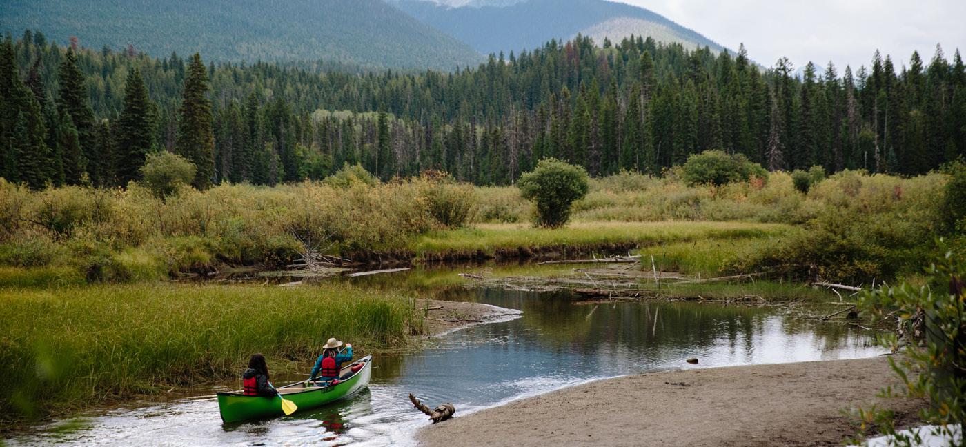
1 Bowron Lake
Size: 149,207 ha.
Facilities: 25 front-country campsites, approximately 54 wilderness campsites along canoe circuit.
Location: 27 km from Barkerville on a wide, well-graded dirt road.
The world-renowned Bowron Lake Canoe Circuit encompasses a 116 km chain of lakes, waterways and connecting portages. Canoe and cart rentals available. Book through bowronlakecanoe.com.
2 Big Bar Lake
Size: 332 ha.
Facilities: 2 campgrounds, 46 vehicleaccessible campsites, day-use area, playground, boat launch, self-guided trail.
Location: 42 km northwest of Clinton on Highway 97 (34 km gravel).
Easily accessible, providing a range of recreation opportunities set in a mountainous backdrop. Popular for fishing.
3 Bridge Lake
Size: 11 ha.
Facilities: 13 vehicle-accessible 3 walk-in tent sites, day-use area, paved boat launch.
Location: 51 km east of 100 Mile House, along Highway 24.
Small campground that is popular with anglers.
4 Bull Canyon
Size: 369 ha.
Facilities: 20 campsites, (16 vehicleaccessible, 4 tent sites), day-use area.
Location: 6 km west of Alexis Creek, off Highway 20.
Ideal stopover to see the beautiful canyon with the glacier blue Chilcotin River flowing past the campground.
Size: 3,067 ha.
Facilities: Viewpoint, no developed picnic site.
Location: Along Chasm Creek, 16 km north of Clinton on Highway 97, then 4 km east onto paved road or 15 km southwest of 70 Mile House, off Highway 97.
A spectacular display of colour illustrates the park’s rich geology in the Chasm Creek Valley.
Size: 100 ha.
Facilities: 18 campsites, day-use area, gravel boat launch.
Location: 18 km southwest of Clinton off Highway 97 turn at Kelly Lake Road. Remote atmosphere offers beautiful views of mountains and the 2,245m Mount Bowman.
Size: 347 ha.
Facilities: 3 campgrounds: Emerald Bay (51 sites); Sunset View (54 vehicle-accessible sites, 4 walk-in tent sites, and one group site); and Arrowhead (16 small sites).
Location: 16 km NE of 70 Mile House off Highway 97 along North Bonaparte Road, or 18 km south of Highway 24 at Lone Butte, signs from Watch Lake Road. Open rangeland and mixed forests of aspen and lodgepole pine found here are typical of the Cariboo’s landscape.
8 Horsefly Lake
Size: 148 ha.
Facilities: 23 vehicle-accessible campsites and 7 walk-in tent sites, day-use area, change houses, horseshoe pits, wheelchair accessible pit toilet, gravel boat launch.
Location: 65 km from 150 Mile House off Highway 97 (10 km well-maintained gravel). Popular destination, especially for trolling in the deep lake or fly fishing in the smaller surrounding lakes.
9 Lac La hache
Size: 24 ha.
Facilities: 83 campsites, potable water, sani-station, day-use area, adventure playground, boat launch, developed beach, change house and flush toilets.
Location: On Highway 97, 13 km north of Lac La hache.
A place for weary travellers, this is a popular, well equipped park.
Size: 124 ha.
Facilities: Pit toilet.
Location: 8 km west of Quesnel on Pinnacles Road.
Beautiful views of the unique formations of hoodoos, and pleasant hiking trails.
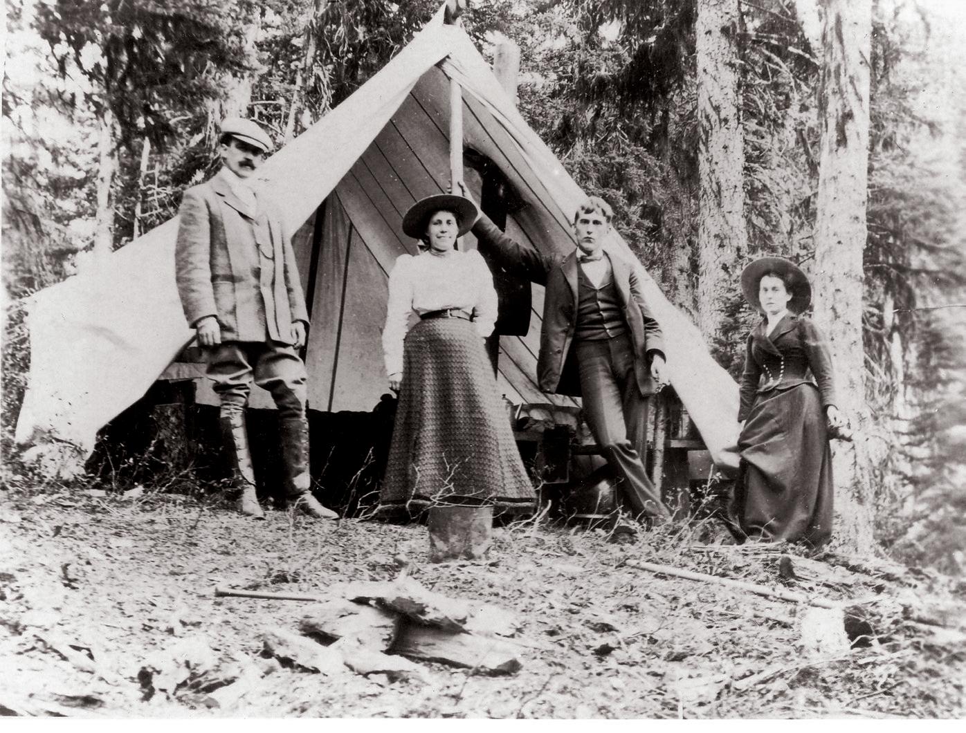


Size: 38 ha.
Facilities: Day-use picnic area, change houses, covered shelter, boat launch.
Location: 40 km west of Quesnel on Nazko Road.
Beautiful stretch of sandy beach that is easily accessible and has most lake oriented activities.
Size: 260 ha.
Facilities: 2 campgrounds at Lakeside (62 sites) and Touring (46 sites), hot showers, sani-station, potable water, day-use, boat launch, playground, and flush toilets.
Location: 12 km north of Quesnel on Hwy 97. Very popular recreational destination for local residents and visitors.
Size: 223,240 ha.
Facilities: 2 campgrounds, 24 campsites, day-use areas, boat launch.
Location: Southwest of Williams Lake off Highway 20 onto gravel road for 60 to 120 km depending on campground.
Backcountry enthusiasts enjoy the rugged mountains, clear blue lakes, glaciers, alpine meadows, and waterfalls.
Size: 506,000 ha.
Facilities: 2 campgrounds: The Atnarko campground offers 15 vehicle-accessible campsites, the Fisheries Pool campground offers nine vehicle-accessible sites, and two tent sites, wilderness campsites are also available, as well as a car-top boat launch.
Location: Located on Highway 20, approximately 400 km west of Williams Lake, between Anahim Lake and Bella Coola. The gravel and paved highway is well maintained. The Bella Coola Hill is a 9 km section of up to 18 percent grade, a significant slope for any vehicle.
Home of amazing scenery, Turner Lake Canoe Chain and the 260 m Hunlen Falls.

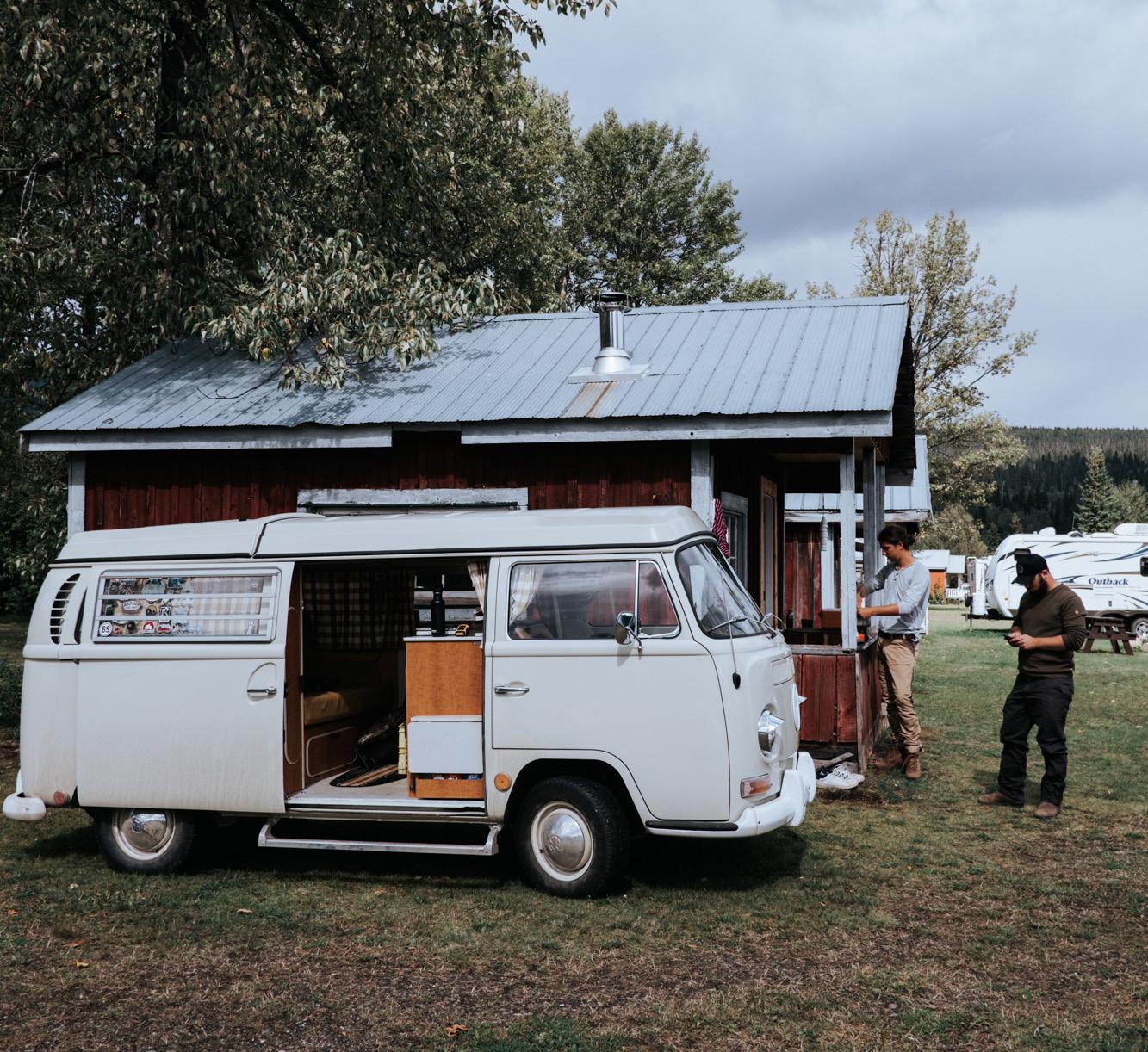

The Skeena Region is renowned for its spectacular scenery, excellent fishing and abundant wildlife. The area has unique features such as coastal fjords, volcanic lava flows, immense glaciers, pristine rivers, and the world’s largest intact coast temperate rain forest. Stretching from the Yukon border to the mid coast and from Gwaii Haanas (formerly Queen Charlotte Islands) to the Interior Lakes District, the Skeena Region covers nearly one quarter of British Columbia.
Skeena Provincial Parks are the perfect base camps to explore this amazing region. Set up camp at one of these beautiful provincial parks and experience some of the world’s most untouched wilderness and remarkable outdoor adventures.
Frontcountry and Backcountry Reservations, Permits and Canoe Circuit Reservations. Campsite reservations can be made up to 4 month in advance of arrival date at BC Parks, either online at camping.bcparks.ca (available 24 hrs/day), or through the Call Centre ($5 surcharge applies to transactions) Toll Free from Canada/USA: 1-800-689-9025, Other International: 519-858-6161. 7 days/week, 7am -7pm (PST). (Open holidays except December 25 and January 1).
Full pre-payment of all camping fees and transaction charges is required to secure a reservation. Reservations are not transferable. Please visit bcparks.ca for more information.
Terrace, Kitimat and Prince Rupert are surrounded by beautiful coastal mountains and wilderness. Local rivers have abundant returning salmon from June to September. There are numerous back roads where you can find wild berries, quiet places and stunning views. The area has diverse wildlife including moose, deer, mountain goats, lynx, wolves, wolverine, black bears, grizzlies, eagles, and an array of birds and waterfowl. Terrace / Kitimat valley is also home to the Kermode “Spirit Bear.” Lucky visitors may get a glimpse of a Kermode on highways or back roads.
Parks listed in orange are operated by: Wilderness Recreation Services Ltd.
Phone: 250-202-4026
Email: jason@wildernessparks.ca Website: bcparks.ca
For information on parks listed in black visit bcparks.ca
Facilities: Day-use area, pit toilets, picnic shelter.
Location: 16 km east of Prince Rupert on Highway 16.
Diana Lake is a good day-use area and is frequented by local residents; a hiking trail along Diana Creek offers a unique perspective of the coastal rain forest. Diana Lake is a good place to rest if you are waiting for the ferry and is only a 25-minute drive to the ferry terminal.
Size: 18 ha.
Facilities: Boat launch, interpretive trail, 2 day-use areas.
Location: 50 km west of Terrace. One of the day-use areas features a yearround boat launch. The other features a 0.5 km interpretive walk through old-growth forest. Exchamsiks River Park contains a rare Sitka spruce-salmon berry red listed plant community. The giant Sitka Spruce trees play an important role in this ecosystem. Hydrology, aspect, soil, plant composition, age, and topography have all combined over a long time to make this forest unique.
3 7 Sisters Park
Size: 27,200 ha.
Facilities: 4 hiking trails, 2 backcountry campgrounds.
Location: 53 km east of Terrace.
Seven Sisters Park is named for the spectacular set of peaks visible from Highway 16 between Hazelton and Terrace. This park offers excellent hiking and camping opportunities with options for families with young children to motivated mountaineers looking to access alpine terrain. Mountain biking and snowmobiling are also permitted in specific areas of this park.
Size: 269 ha.
Facilities: 33 campsites, picnic area, hand water pump.
Location: 15 km east of Terrace’s Hwy 16 and Hwy 37 junction.
The park offers the local community camping and picnicking with an easy 1 km walking trail. The sounds of water and cool breezes make Kleanza Creek a must stop - especially on hot days. Its natural beauty attracts many local residents for special occasions and is used often for wedding photos.
5 Lakelse Lake
Size: 354 ha.
Facilities: 164 campsites, sandy beaches, shower buildings, playground, boat launch, mooring floats, sani-station, and a private group campsite.
New: Electrical hook-up in 51 campsites. New: Visitor center with ice, snacks and local souvenirs. Open 8am - 9pm daily. All Campers: Please check in at our new visitor center upon arrival.
Location: 19 km south of Terrace and 40 km north of Kitimat on Highway 37.
Situated near Terrace between the Skeena and Kitimat rivers, it has all the facilities necessary to make your stay enjoyable, including showers. Main gate opens at 6:00 am so you don’t miss the morning bite. Lakelse Lake Park is noted for gigantic Sitka Spruce trees, private campsites and great water-based recreation. You’ll also find hiking trails and interpretive programs. For group site reservations, visit bcparks.ca for more information.
6 Anhluut’ukwsim Laxmihl Angwinga’asanskwhl Nisga’a (Nisga’a Memorial Lava Bed
Size: 17,683 ha.
Facilities: 16 campsites, picnic areas, water pump, pit toilets, Visitor Centre, interpretive trails, boat launch.
Location: 100 kms north of Terrace on the Nisgaa Highway.
The park has one of Canada’s most recent lava flows. Several day use sites allow visitors to view both the unique landscape and rich culture of the Nisga’a people. Guided tours to Volcano Cone are available. Check bcparks.ca for more information about available tour operators.
Size: 7 ha.
Facilities: 24 campsites, pit toilets.
Location: 16 km East of Prince Rupert on Hwy 16.
The park offers forested, lakefront campsites with paddling and fishing opportunities. This is a great place to wait for the ferry, or to use as a base for exploring Prince Rupert and the area.
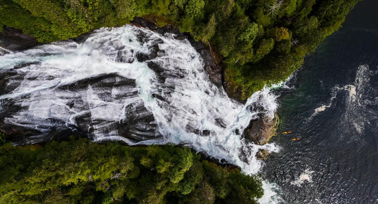
The provincial parks located along the Smithers/Highway 37 are perfectly placed to accommodate the traveller on the move. No matter how much or how little you wish to roam between camping destinations, there will be a hidden gem awaiting your arrival. Wildlife viewing is a popular activity throughout this area, with grizzly and black bears, mountain goats, mountain sheep, and more. Keep your eye out for a glimpse of nature at its best.
Parks listed in blue are operated by: Kermode Bobcat
Email: kermodeparks@gmail.com bcparks.ca
Parks listed in orange are operated by: Wilderness Recreation Services Ltd.
Phone: 250-202-4026
Email: jason@wildernessparks.ca bcparks.ca
For information on parks listed in black visit bcparks.ca
8 Anderson Flats
Size: 99 ha.
Facilities: Day-use area and pit toilets. An accessible pit toilet is available in the dayuse area.
Location: located on the southeast bank of the junction of the Skeena and Bulkley Rivers, between South Hazelton and the Village of Hazelton. Access to the park is gained by travelling ~4km west of New Hazelton via Highway 16 then turning right and following Omineca Avenue for 700 metres before turning right on Hazelton Station Road which leads across the railroad tracks and down the hill to the park. Anderson Flats Park offers scenic and recreational values including regionally and provincially significant fishery values. The park provides easy public access to the riverfront on both the Bulkley and Skeena Rivers with excellent recreational fishing and day-use recreation opportunities from June through September for all visitors including children, seniors and individuals with limited mobility.
Size: 31,146 ha.
Facilities: Walk-in/wilderness camping; Toilets are available. A log cabin (15-20 people) is available on a first come, first serve basis at $10/person/night. Pay cash at the cabin.
Location: Access to the west end of the park is off Old Babine Lake Road, which leaves Highway 16 just east of the Bulkley River bridge. Follow the signs to Driftwood Canyon Provincial Park. The summer parking lot and information map are located 7km north of Driftwood Canyon. From there, the road is not passable to vehicle traffic. The closest
communities are Smithers and Telkwa. To access the east end of the park, turn onto Babine Lake Road, 4 km east of Smithers on Highway #16. The Little Joe and Cronin Creek trailheads are found at 30.5 km and 32.5 km respectively along the route. This area within the Skeena Mountains eco-section offers some of the finest hiking opportunities in west-central British Columbia. Glacier-fed lakes, rugged peaks and extensive sub-alpine meadows provide day and overnight hiking opportunities.
Size: 21 ha.
Facilities: Day-use area, picnic tables, pit toilets.
Location: 18 km north of Smithers on Old Babine Lake Road.
Driftwood Canyon is a great stop to explore one of the world’s most significant fossil beds. Only a 30-minute drive through the beautiful Bulkley Valley from Tyhee Lake Park. There is a foot bridge and trail leading to a viewing platform and interpretive trail leading to the fossil bed outcropping.
Size: 1,800 ha.
Facilities: 50 campsites, pit toilets, hand water pump, boat launch, and mooring float. Location: 208 km north of Meziadin Junction (Highway 37/37A).
A must stop for fishermen, where bright Rainbow Trout abound. Bald eagles, hawks, ospreys, mountain goats can be seen in the surrounding area. More adventurous spirits may canoe down the Iskut River from Kinaskan Lake to Natadesleen Lake, then walk to Cascade Falls where the Iskut river cascades over an amazing 150 ft waterfall into a canyon.
Size: 335 ha.
Facilities: 66 campsites, pit toilets, a hand water pump, picnic shelter, boat launch, and mooring float.
Location: 155 Km north of Highway 16 /37 Junction and 1 km south of Highway 37 / 37A Junction.
This lake is known for its excellent fishing, which includes Rainbow Trout, Dolly Varden, and Sockeye Salmon. While staying at the park, take a day trip to Stewart and Hyder to see the Bear Glacier, Salmon Glacier, and grizzly bears at Fish Creek during late summer/early fall. Meziadin Lake is the northern edge of the Kermode (or Spirit) Bear range. Internet service is available. 30amp power hook-up for RV’s are available.
Size: 148 ha
Facilities: 34 vehicle-accessible campsites of which 27 are reservable, day-use area, beach, picnic areas, hand pump, dock and boat launch, and trails.
Location: On Babine Lake near the community of Granisle, this park may be accessed through the village of Topley on Hwy 16, going north for 45km on Hwy 118. This popular park is named for the ironstained cliffs that plunge almost perpendicularly into the lake. Park visitors can swim, sunbathe, angle for a rainbow trout, or take in the views on a trail up to the cliffs. Boaters like to explore the extensive shoreline of Babine Lake, the longest natural freshwater lake in British Columbia.
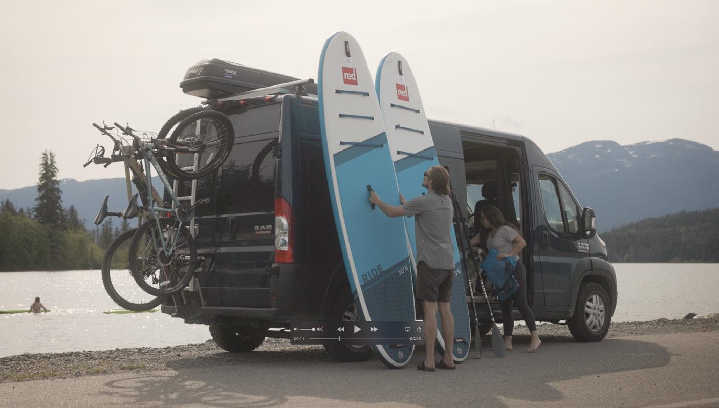
Size: 307 ha.
Facilities: Day-use area.
Location: Off Hwy 16, Hazelton.
Popular with anglers, boaters and swimmers. This park features a picnic area with fire rings, beach, new swimming dock, hiking trail around the lake, and gravel boat launch (electric motors only). Enjoy a relaxing family picnic or evening stroll.
Size: 24 ha.
Facilities: 20 FCFS campsites, day-use area, pit toilets and a hand water pump.
Location: 10 km west of New Hazelton on Hwy 16.
This campsite on the lake lies in the shadow of spectacular Roche de Boule, where you can enjoy camping, picnicking and fishing. Fly fish for rainbow and cutthroat trout, or visit nearby Ksan, a traditional native village in Old Hazelton. A perfect pitstop for your road trip.

Size: 4,597 ha.
Facilities: 44 campsites, pit toilets, hand pump fed by an artesian spring, boat launch, mooring float, and trails. Canoes and kayaks rentals are available.
Location: Located 81 km south of Cassiar/ Alaska Highway Junction.
The glaciated landscape and turquoise water make Boya Lake a must-see destination. Boya Lake is excellent for canoeing and kayaking, with sandy beaches and abundant wildlife, and is a highlight of any trip to Canada’s north. New facilities include a playground, a new picnic shelter, designated bike camping, and lakeside pull-through campsites.
Size: 446,092 ha.
Facilities: 2 campgrounds with wilderness campsites, pit toilets.
Location: Access by boat on Ootsa and Whitesail Lakes are main access routes to the park area. Park is between Burns Lake and Houston.
Primarily for experienced outdoor recreationalists interested in boating, angling, camping and hiking in a selfsufficient wilderness areas. There are no supplies of any kind. For the Chikamin Bay area, there is a fee charged for boaters using the winching service to portage their boats through the area.
Size: 33 ha.
Facilities: 71 campsites (38 with electricity), hot showers, flush toilets, a sani-dump, playground, little kids bike park, picnic shelter, boat launch, bird viewing platform, group site (electrified) and a walk-in tenting group site (not electrified), with 5 separate tenting pads and bearproof storage containers. New accessibility upgrades like graded trail to water.
Location: 2 km off highway 16 at Telkwa, 12 km east of Smithers.
Tyhee Lake is a great place to slow down and take a break with the family; this park is perfect for kids! Stop and play in the water, hike the Aldermere trail or soak up the sun. The surrounding area has plenty to offer with world-class steelhead fishing, abundant hiking, a lively arts and music culture, local farms and culinary flare.
Naikoon Provincial Park on Haida Gwaii is the province’s most westerly park, and offers a unique experience to hike sandy beaches, view spectacular sunsets or to brave an occasional storm. View the natural forces that have shaped this archipelago, or you can go there to just relax and get away.
Parks listed in green are operated by: Old Massett Village Council Website: bcparks.ca
Naikoon
Size: 69,166 ha.
Facilities: Naikoon Visitor Information Centre
Location: 2 km south of Tlell River Bridge on Highway #16.
19 Naikoon – Agate Beach Campground
21 Naikoon – Mayer Lake
Facilities: Day-use area, picnic tables, pit toilets and car-top boat launch.
Location: 12 km north of the Tlell River Bridge.
22 Naikoon – Tlell River
Facilities: Day-use area, picnic tables, pit toilets.
Facilities: 30 campsites, picnic shelter, water, pit toilets.
Location: 28 km east of Masset along Tow Hill Road.
Campground offers an excellent base location for exploring Tow Hill, North Beach and Rose Spit. Firewood is available for sale.
20 Naikoon – Misty Meadows Campground
Facilities: 32 vehicle-accessible campsites, 10 walk-in tent sites in a group formation in the group site, picnic shelter, water, pit toilets.
Location: 1 km south of Tlell River Bridge along Yellowhead Highway 16. Near the visitor information centre. Firewood is available for sale.
Location: 45 km north of Skidegate. This popular stop between Skidegate and Masset is the starting point for hikes along the Tlell River to the Pesuta, a log barge that ran aground in 1928.
23 Naikoon – Tow Hill
Facilities: Day-use area, picnic tables, trails.
Location: 2 km east of Agate Beach Campground. Hike to the lookouts on the top of the volcanic plug of Tow Hill or along the Hiellen River to the “Blowhole.”
24 Pure Lake
Size: 130 ha.
Facilities: Day-use area, picnic tables, pit toilets.
Location: 19 km south of Masset along Hwy 16. A popular spot with locals for swimming and picnicking during the warm summer days.
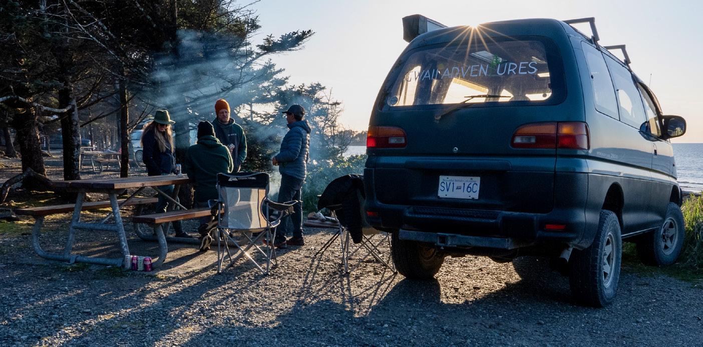

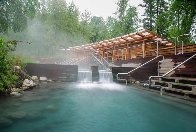
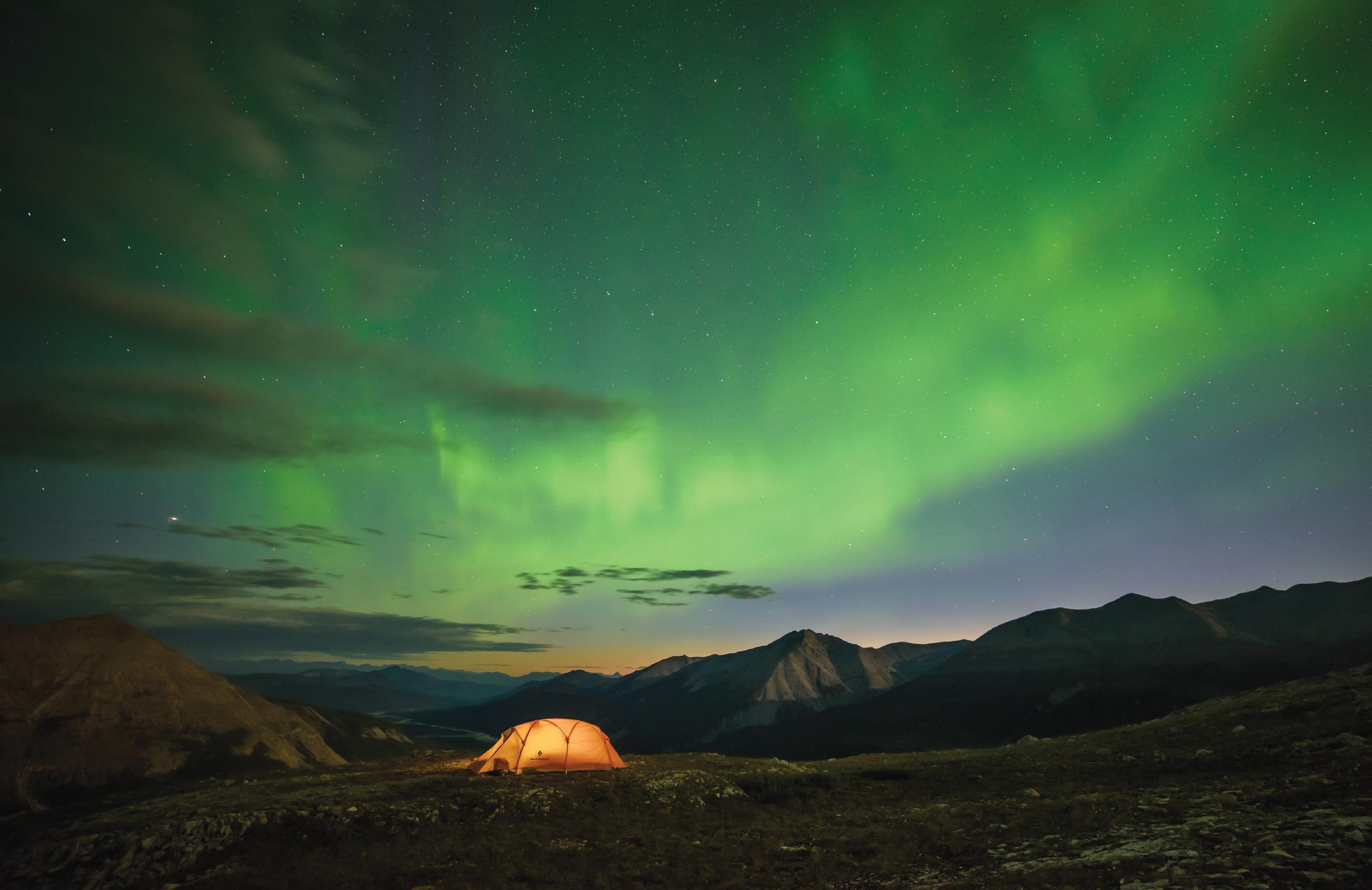
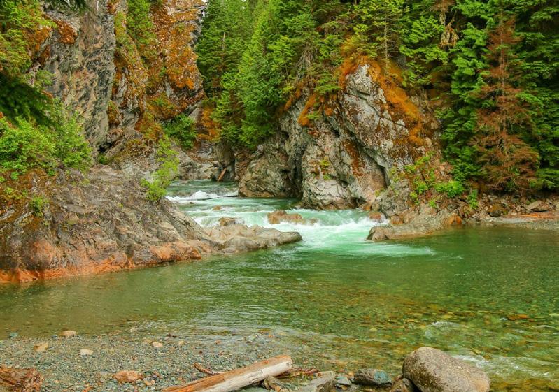
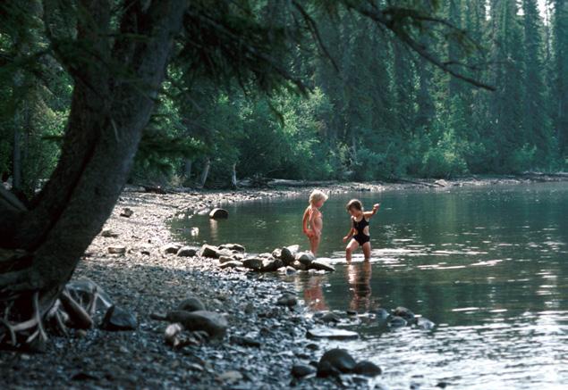
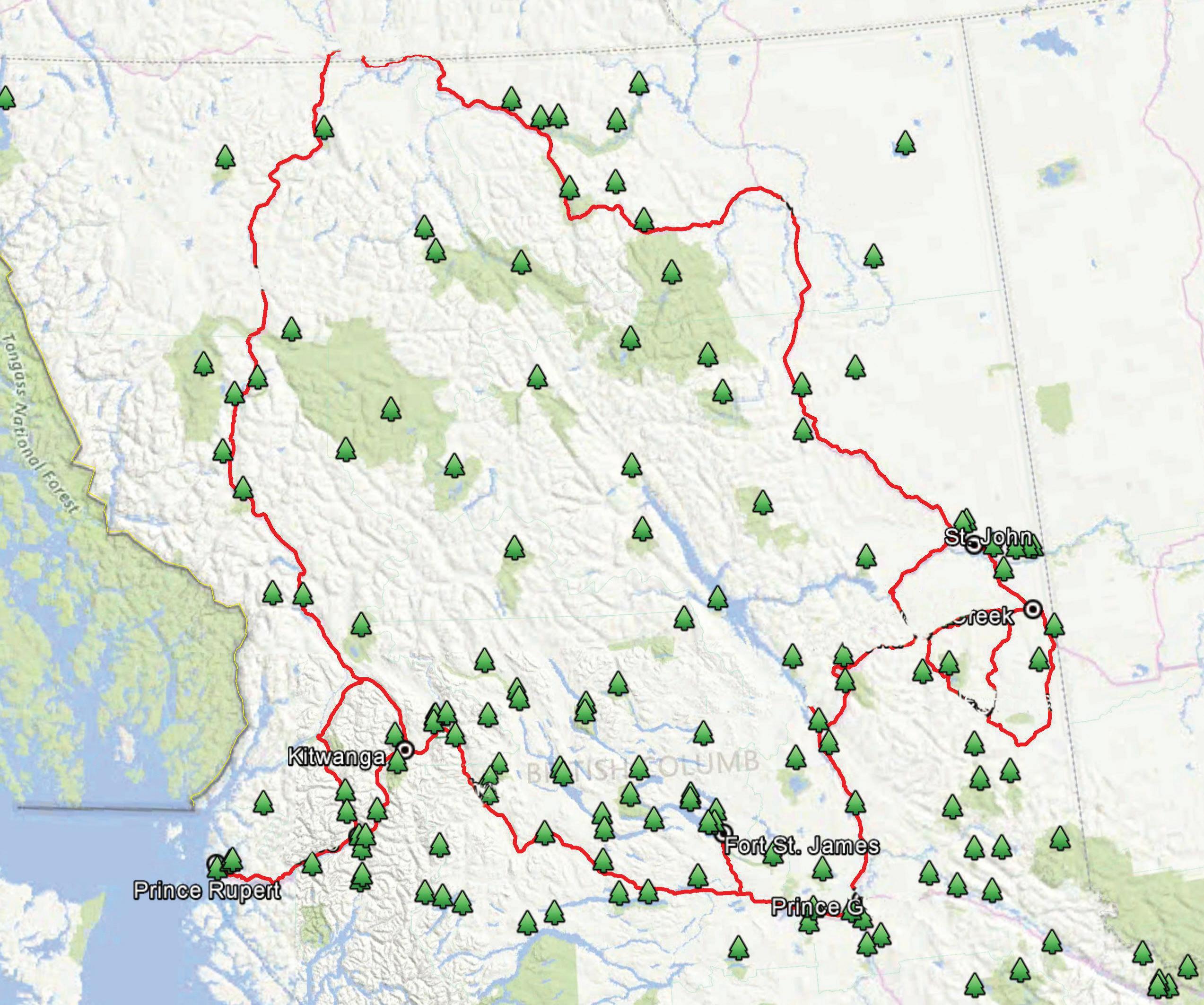
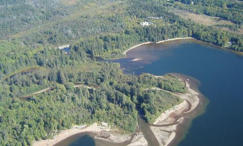
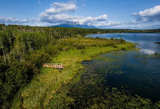
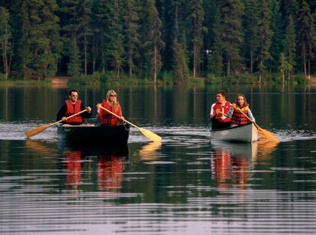
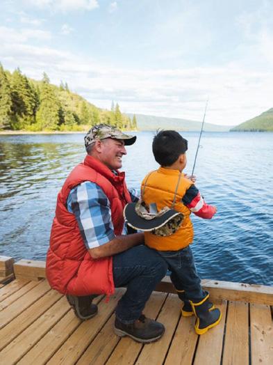
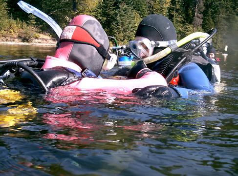
From the Canadian Rockies, to the relaxing sandy beaches of Crooked River Provincial Park, the Omineca Region has some of the province’s best kept secrets. Located on B.C.’s Interior Plateau between the Skeena and Peace regions, the Omineca is packed with lakes, adventures and outdoor experiences. The region’s provincial parks are excellent for hiking, biking, canoeing, boating, wildlife viewing, and fishing just to name a few.
BC Parks Camping Reservations: Frontcountry and Backcountry Reservations, Permits and Canoe Circuit Reservations. Campsite reservations can be made 4 month in advance of arrival date at BC Parks, either online at camping.bcparks.ca (available 24 hrs/day), or through the Call Centre ($5 surcharge applies to transactions) - Toll Free from Canada/USA: 1-800-689-9025, Other International: 519-858-6161. 7 days/week, 7am -7pm (PST). (Open holidays except December 25 and January 1).
Full pre-payment of all camping fees and transaction charges is required to secure a reservation. Reservations are not transferable. Please visit bcparks.ca for more information.
Branching Highways 16, 27 and 97 offer nature enthusiasts a wealth of wildlife viewing opportunities. The Fraser Plateau accounts for nearly half of the entire region. It is a comparatively flat forested area with numerous lakes, small streams and marshlands. It is known as the heart of moose country. From spawning salmon to roaming moose, you’re sure to experience nature at its best. Be sure to keep your camera handy as you never know what you will come across.
Crooked River Provincial Park lies within the Fraser Basin and contains three beautiful lakes within this 970 hectare park. The centre of activity for this park, an hour drive north of Prince George, is beach-fringed Bear Lake. The fine, sandy beaches are some of the best in the region and popular with swimmers and sunbathers.
Parks listed in green are operated by: Quartz Contracting
Phone: 250-964-3489
Email: northquartz@aol.com bcparks.ca facebook.com/NorthernBCProvincialParks
Parks listed in orange are operated by: Wilderness Recreation Services Ltd.
Phone: 250-202-4026
Email: jason@wildernessparks.ca bcparks.ca
For information on parks listed in black visit bcparks.ca
1 Beaumont
Size: 192 ha.
Facilities: 49 campsites, 5 walk in beach campsites, day-use area on an expansive sandy beach, a playground, boat launch, dog beach, and sani-station.
Location: 134 km west of Prince George on Highway 16.
Located at the southeast end of Fraser Lake, between Fort Fraser and the town of Fraser Lake, the White Swan capital of the world. Windsurfing, canoeing, kayaking and waterskiing are popular lake activities. There is a concrete boat launch located approximately 500 m from the campground. Drop a line and try your luck for Rainbow
Trout and Char within Fraser Lake. The expansive, sandy beach is popular with locals for swimming. Wildlife is abundant within the park. The marsh area represents ideal habitat for many species of birds, aquatic insects and beavers.
Size: 40 ha.
Facilities: Day-use park only. This park is easily accessible off Hwy 97 and provides a view of Bijoux Falls with excellent photography opportunities and a pleasant highway rest stop. Toilets, picnic tables and garbage receptacles are provided.
Location: 44 km north of McLeod Lake on Highway 97.
3
Size: 38,149 ha.
Facilities: 75 vehicle-accessible campsites, boat-in island tenting campsites on Balsam, Spirea and White Spruce and a cabin with group site (three tent pads) reservable at camping.bcparks.ca for $88/night. Lots of extra-large sites. Playground, boat launch and sani-station.
Location: 120 km north of Prince George; then 25 km down on Carp Lake Road. Great fishing and hiking. Check out War Lake Falls. Try island camping.
4 Crooked River
Size: 970 ha.
Facilities: 65 campsites, showers, flush toilets, day-use area, and several playgrounds.
Location: 70 km north of Prince George on Highway 97.
This park offers secluded campsites, 16 of which are lakeside, two separate day-use areas with sandy beaches for swimming, a dog beach and 9 km of hiking trails that surround the lake and connect to a square lake, for fishing (non-motorized boats only).
5 Eskers
Size: 3,979 ha.
Facilities: Day-use/picnicking site, wheelchair accessible, water hand pump, pit toilets.
Location: 40 km northwest of Prince George off Highway 97 onto Chief Lake Road for 27 km.
A day-use area for locals and visitors who can enjoy walking and hiking, canoeing, fishing and nature/wildlife viewing at this park. Please visit bcparks.ca for more information.
6 Heather-Dina Lakes
Size: 5,786 ha.
Facilities: Two primitive campground/dayuse areas are located at Heather Lake and Dina Lake, respectively.
Location: Along the eastern edge of Williston Lake, approximately 25 km north of Mackenzie.
The Parsnip West Forest Service Road (PWFSR) can be reached from Highway 39 by heading north from the closest community of Mackenzie for approximately 10km. There are two main entry points into
the park, both of which are accessed from the PWFSR. The gravel road is suitable for most two-wheel drive vehicles during the summer, but four-wheel drive vehicles are recommended during wet weather.
A sign near the 25km marker of the PWFSR indicates the turnoff to Heather Lake and the site is located less than 1km from the turnoff. The Dina Lake site is also marked with a sign and is located approximately 31 km on the PWFSR.
The park is comprised of mature, mixed forest and is dotted with numerous, small lakes. Visitors are able to camp, fish, canoe, hike, and view wildlife within a beautiful wilderness setting.
Frequently sited wildlife species include moose, black bear, deer, beaver, grouse, eagle, and the common loon.
Size: 43 ha.
Facilities: 39 vehicle-accessible campsites, 3 walk in beach campsites, day-use area, boat launch, playground with accessible features, and 800 metres of sandy beach. Location: 11 km from Fort St. James on the south shore of Stuart Lake.
The park is a hidden gem that provides a good location to stay while visiting the many local sites such as the Fort St. James Historic Park.
Size: 2,521 ha.
Facilities: 78 private campsites, large beach day-use area, boat launch, docks, playground, 15 km lakeside trail, flush toilets and a sani-station.
Location: 64 kms east of Prince George on Yellowhead Highway 16.
The park has a popular lakeside trail and a great playground with accessible features. Purden Lake is a great canoeing, fishing, windsurfing and waterskiing destination.
Size: 13 ha.
Facilities: 30 campsites, boat launch. Location: 100 km west of Prince George on Highway 16 to Vanderhoof. From there, 55 km north on Highway 27 to Fort St. James and another 20 km west on Sowchea Bay Road.
Sowchea Bay Provincial Park is situated on Stuart Lake which is popular for fishing and boating. The campsites are situated on the lakeshore.
Size: 56 ha.
Facilities: 36 campsites, group campsite, a day-use area and a boat launch.
Location: 136 km north of Prince George via Hwy 97N.
Located on the southern shore of Tudyah Lake, the park offers good fishing, canoeing and waterskiing opportunities. Ice fishing is popular here in the winter.
Size: 256 ha.
Facilities: Day-use area, group picnic site, change house, flush toilets, volleyball nets, horseshoe pits, playing field, and boat launch. The park has both a fenced off-leash and an on-leash dog beach and swimming area.
Location: 22 km southwest of Prince George on Blackwater Road, on the north shore of West Lake.
This day-use area park offers all the ingredients for an ideal family outing such as swimming, boating, and fishing . To rent the group picnic shelter (power, water and private access), please go to the BC Parks Reservation system.
Size: 116 ha.
Facilities: 69 campsites, day-use area, sandy beach, paved roads, a boat launch, playground with accessible features, and flush toilets.
Location: 130 km north of Prince George on Highway 97 on a peninsula reaching out into McLeod Lake.
Whiskers Point is a relaxing destination for an extended family retreat. It provides lakeside camping with ample opportunity to enjoy the day-use area facilities, swimming, fishing and strolling through the woods.
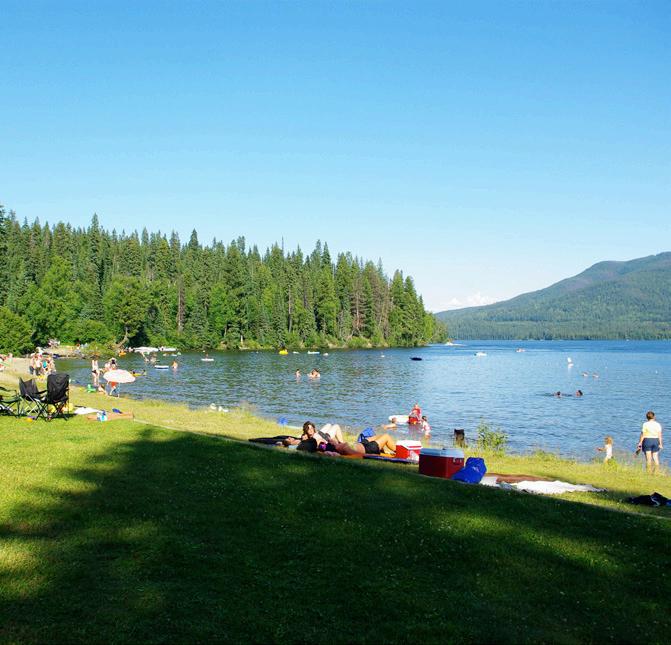
The Omineca Region boasts the majestic Omineca Mountain range to the north, and to the east, the terrain rises to the highest point in the Canadian Rockies, Mount Robson. Mount Robson Provincial Park, established by a special act of the British Columbia legislature in 1913, is the second oldest park in B.C.’s park system. It was designated part of the Rocky Mountains World Heritage Site in 1990 by the United Nations Educational, Scientific and Cultural Organization (UNESCO).
The hiking trails in scenic Mount Robson Park are a popular destination, from the extreme backcountry enthusiast to the casual day hiker and attracting climbers from all over the world. Mountain biking is also popular and the Berg Lake Trail is regularly shared by mountain bikers, hikers and backpackers. Winter adventure is prevalent.
Parks listed in green are operated by: Quartz Contracting
Phone: 250-964-3489
Email: northquartz@aol.com www.bcparks.ca
Size: 615 ha.
Facilities: Day-use area and pit toilet at parking lot.
Location: 10 km north of Valemount on Hwy 5. There is an interpretive nature trail & picnic area along with track set cross-country ski trails in winter.
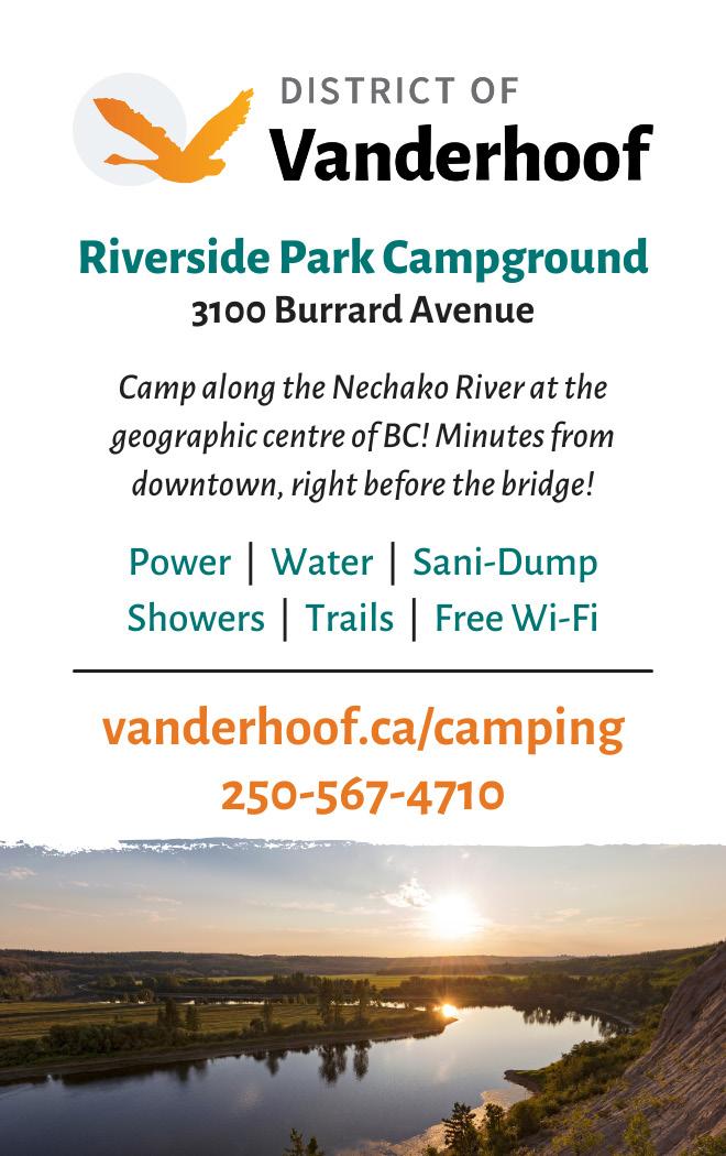
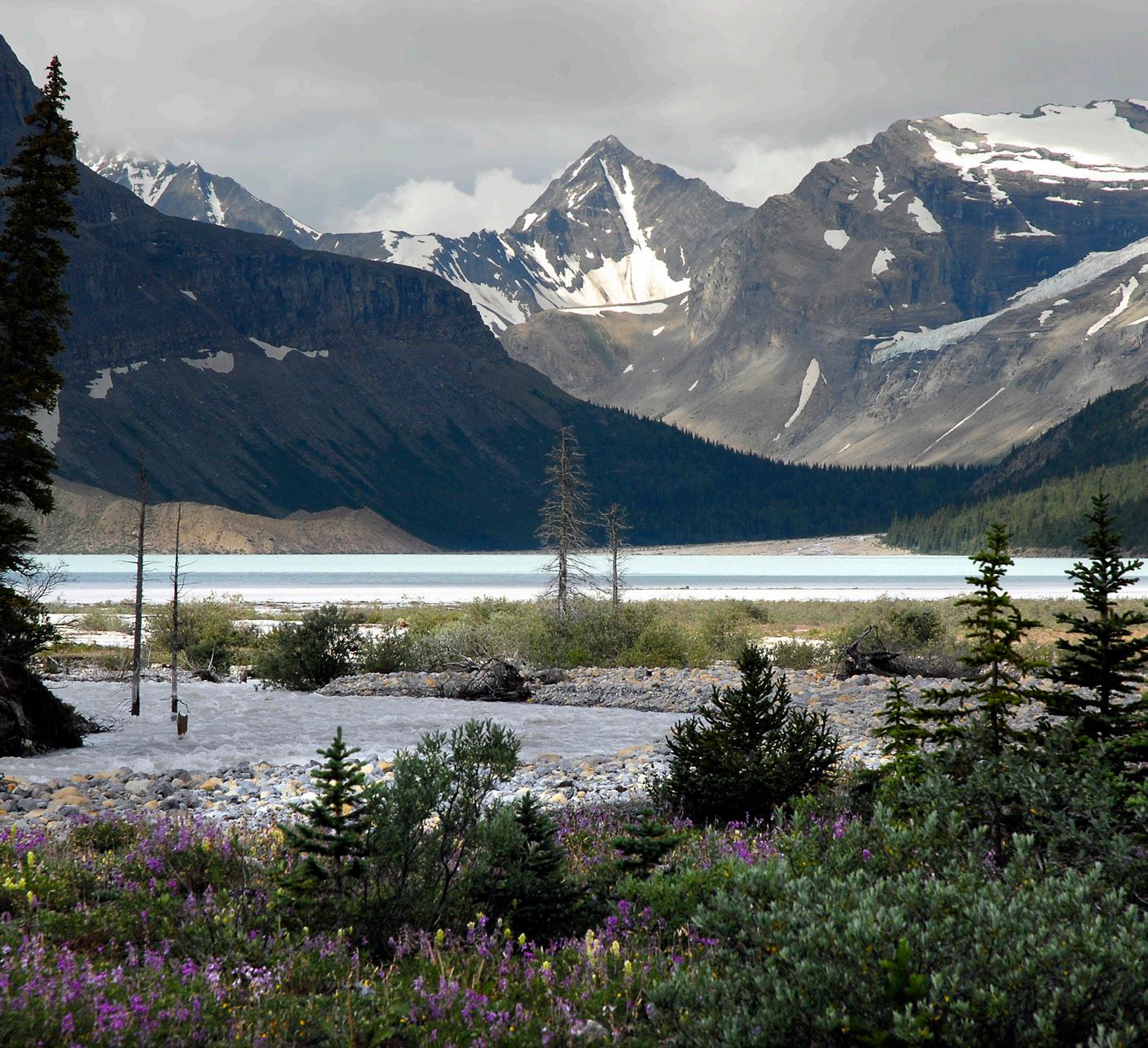
years and trail is expected to reopen in 2025. Visit the Mount Robson / Berg Lake Trail Reservation page at bcparks.ca for more information.
Size: 224,866 ha.
Facilities: Mount Robson has 3 front country campgrounds with beautiful mountain views: Mount Robson-Meadows (102 reservable sites out of 125 sites), Mount Robson-River (39 reservable sites out of 41 sites and 22 out of these 41 have 15, 30, and 50-amp electrical hook up service) and Mount Robson-Lucerne (30 reservable sites out of 36 sites). Meadows and River campgrounds have showers, flush toilets, sani-station. Meadows has volleyball nets and a swing set and large group site with a second volleyball net, private toilets, and a picnic shelter. (To book go to camping. bcparks.ca). Lucerne campground is on Yellowhead Lake, has pit toilets and is located just 30 minutes west of Jasper. Along the Corridor east from the Visitor Center to the Jasper Boarder there are 2 boat launches (Moose Lake and Yellowhead Lake).
The Berg Lake Trail was seriously damaged following extreme weather in 2021. Extensive repair work has occurred over the past 4
Location: Access on Highway 16, just west of the BC/Alberta border & east of Tete Jaune Cache.
Mount Robson is the highest Peak in the Canadian Rockies & an UNESCO World Heritage Site. Hiking, biking, boating and wildlife viewing are popular activities.
Size: 48 ha.
Facilities: Hiking trail to viewpoint from parking lot; pit toilets.
Location: On Hwy 16, 11 km west of Mount Robson Provincial Park’s west gate. At the falls in August, hikers can watch Chinook Salmon jumping up the falls as they near the end of their 1,200 km journey to spawn.
BC’s Peace Region is a land of vast lakes and rivers, fertile valleys, jagged mountain ranges, and snowcapped peaks. The provincial parks offer numerous year-round outdoor adventures and experiences including fishing, boating, hiking, biking, in the summer and skiing and snowmobiling in the winter. Located in the northeast corner of the province, the Peace Region has seemingly endless outdoor adventures and wildlife viewing opportunities.
BC Parks Camping Reservations:
Frontcountry and Backcountry Reservations, Permits and Canoe Circuit Reservations. Campsite reservations can be made up to 4 month in advance of arrival date at BC Parks, either online at camping.bcparks.ca (available 24 hrs/day), or through the Call Centre ($5 surcharge applies to transactions) - Toll Free from Canada/USA: 1-800-689-9025, Other International: 519-858-6161. 7 days/week, 7am -7pm (PST). (Open holidays except December 25 and January 1).
Full pre-payment of all camping fees and transaction charges is required to secure a reservation. Reservations are not transferable. Please visit bcparks.ca for more information.
The impressive Rocky Mountains and their foothills dominate the North Peace, comprising roughly 8 million ha (20 million acres) of land. The Northern Rocky Mountains are the largest roadless landscape south of the 60th parallel, as well as one of the richest and most varied intact large wildlife ecosystems remaining in North America. As a treat for the weary traveller in this area, visit Liard River Hot Springs for a relaxing dip in a beautiful natural setting.
Parks listed in red operated by: Kootenay Forest Services Ltd. Phone: 250-776-7000 kootenayforestservices@gmail.com bcparks.ca
Parks listed in green operated by: Sandstorm North Contracting Phone: 250-964-9474
Email: sandstormnorth@gmail.com www.campinbc.com bcparks.ca
For information on parks listed in black visit bcparks.ca
Size: 55 ha.
Facilities: 17 vehicle accessible campsites on a first-come, first-served basis. There is a small boat launch, wildlife viewing and swimming opportunities in the river. Firewood is available for sale.
Location: Approximately 200 km northwest of Fort St. John at kilometer 278 of the Alaska Highway (Hwy 97).
2 Liard River Hot Springs ( Located in Northern Rockies)
Size: 1,082 ha.
Facilities: 53 campsites, up to 50 vehicle overflow, day-use area, picnic tables, playground, a natural hot spring pool, change houses and pit toilets.
Location: Km 796 of the Alaskan Highway, 317 km northwest of Fort Nelson. This park is a popular stopover for tourists travelling the Alaskan Highway and wanting to enjoy the second largest hot spring in Canada. The park is well known for its hot springs in a natural forest setting and lush plant life due to the warmth of the springs.
3 Muncho Lake ( Located in Northern Rockies)
Size: 86,709 ha.
Facilities: 2 campgrounds at Strawberry Flats (15 sites of which 5 are reservable) and MacDonald (15 sites). A boat launch is located at the MacDonald Campground.
Location: Km 681 of the Alaskan Highway. The expansive wilderness requires visitors practice “Leave No Trace” backcountry camping ethics -pack out what you pack in. There are various trails and the hiking loop to the mineral lick offers opportunities to view Stone sheep. Fishing and canoeing/ kayaking are also popular lake activities.
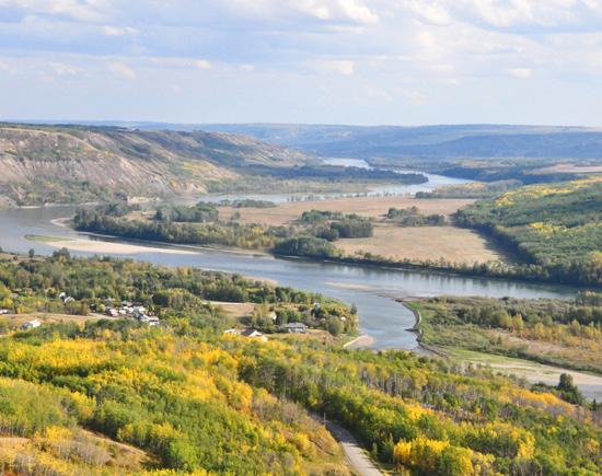


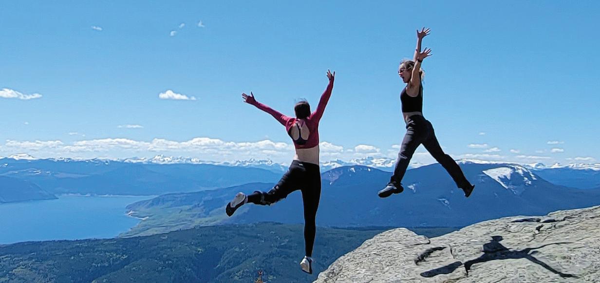


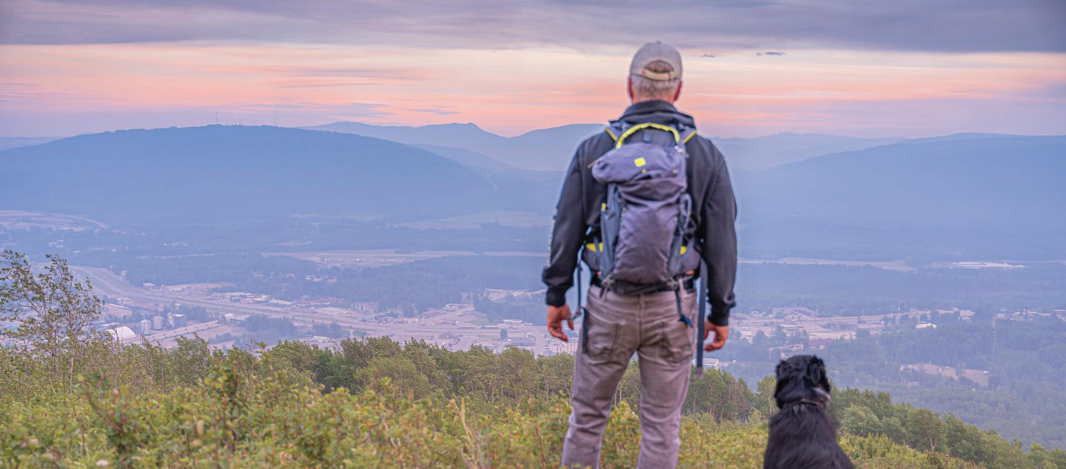


4 Stone Mountain ( Located in Northern Rockies)
Location: 13 km northwest of Fort St. John off Highway 97.
Size: 25,691 ha.
Facilities: 28 vehicle campsites, wilderness/ walk-in sites, numerous trail systems, a dayuse/picnic area and boat launch.
Location: Km 595 on the Alaskan Highway, 140 km west of Fort Nelson.
Stone Mountain offers travellers and hikers incredible mountain valley views with alpine meadows and lakes. Trails are available for horseback riding with a letter of permission.
5 Beatton
Size: 310 ha.
Facilities: 39 campsites (27 Reservable, 12 FCFS) on Charlie Lake, Pit toilets, a boat launch, fishing dock, a group day-use/picnic area, baseball diamond, and playground.
Wildlife viewing, swimming, hiking, picnicking, mountain bike trails and Walleye and Northern Pike fishing are popular. In winter the park offers 12 km of groomed cross country ski trails as well as snowshoeing trails.
6 Charlie Lake
Size: 85 ha.
Facilities: 57 campsites, (40 Reservable, 17 FCFS), pit toilets, a group day-use/picnic area, a playground, boat launch, lakeside trail, disc golf course, and sani-station. Location: 11 km north of Fort St. John at the junction of the Alaskan Highway and Highway 29.
Bird watching and wildlife viewing are popular activities for picnickers and overnight campers. The lake offers excellent fishing and canoeing/kayaking opportunities.

7 Kiskatinaw
Size: 58 ha.


Facilities: 28 campsites, (All FCFS), pit toilets, picnic area, riverside beach.
Location: 28 km north of Dawson Creek off Highway 97 along the banks of the Kiskatinaw River near a historic curved wooden trestle bridge.
Warm water and slow currents of Kiskatinaw River provides for wading and river tubing and fishing. Wildlife viewing includes moose, deer, squirrels, chipmunks and various songbirds.
The South Peace region consists of gently rolling plains and golden wheat fields. This beautiful landscape surrounding the Peace River is more similar to the prairies than the rest of the province. Lakes and rivers, and mountains are scattered throughout the region and offer some of the most beautiful stretches of highway in British Columbia. With its unique scenery and vast resources, the South Peace District prides itself on standing out from the rest of British Columbia.
Parks listed in green operated by: Sandstorm North Contracting
Phone: 250-964-9474
Email: sandstormnorth@gmail.com campinbc.com bcparks.ca
For information on parks listed in black visit bcparks.ca
8 Moberly Lake
Size: 104 ha.
Facilities: 109 campsites, (62 Reservable, 47 FCFS), pit toilets, a day-use and group picnic area, a playground, boat launch and sani-station.
Location: 25 km northwest of Chetwynd off of Highway 29.
Known for its beautiful sunsets Moberly Lake is easily accessible off Highway 29. The park provides campers wildlife viewing, boating, swimming, family picnicking and Northern Pike and Bull Trout fishing opportunities. A playground with accessible features is available in the day-use area.
9 Swan Lake Size: 65 ha.
Facilities: 44 campsites,(16 Reservable, 28 FCFS), pit toilets, a grassy campground, a group day-use/picnic area, boat launch, fishing dock, baseball diamonds and a playground.
Location: 35 km southeast of Dawson Creek off Highway 2.
This campground is near the lakeshore and renowned in the area for picnicking, swimming and boating activities. A playground with accessible features is also available in the campground.
Size: 62,867 ha.
Facilities: 42 campsites, wilderness campsites, day use area.
Location: Located on Murray River Rd, 60 km south of Tumbler Ridge.
Enjoy the many short-day hikes accessible from the main campground, including the stunning Jade Falls trail, the caves and cliffs of the Stone Corral trail, and the outstanding 197 foot (60m) tall Kinuseo Falls. More adventurous visitors can travel up the multiday hiking trail to the Monkman Cascades and Monkman Lake. Please visit bcparks.ca for more information.
Size: 32,458 ha.
Facilities: 50 campsites (14 Reservable, 36 FCFS), pit toilets, boat launch, fishing dock, viewpoint and playground.
Location: Located 56 km southeast of Chetwynd; take Highway 29 south off Highway 97 (paved access).
Visitors can enjoy canoeing, kayaking, swimming, hiking, fishing and a viewpoint that provides a panoramic vista of the superb Rocky Mountain scenery.
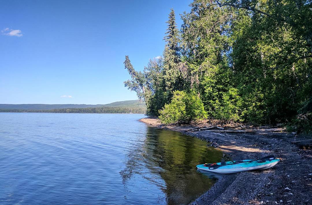
Size: 61 ha.
Facilities: Situated by a clear lake noted for its fishing opportunities.
Location: 60 km southeast of Dawson Creek. Take Hwy #2 east of Dawson Creek for 30 km and look for the park signs. Activities include bird watching, fishing, swimming and just relaxing. A variety of waterfowl congregate at One Island Lake. Moose, white-tail and mule deer, beaver and black bear are also common to the area. One Island Lake is a popular destination for area anglers. The lake is stocked annually with brook and rainbow trout. The lake also supports other fish species such as brook stickleback, finescale dace and fathead minnow.
Size: 43,245 ha.
Facilities: Heart Lake Campground is located adjacent to Heart Lake and is a picturesque and tranquil location. This small campground is great for tenting and small RV camping. This lake is for motor free boats only, which will ensure a quiet relaxing stay. There is a small day use area set up with two picnic tables and a grassy beach. There are numerous small campsites containing a fire pit and a picnic table per site, outhouses are available, but there is no potable water.
Location: Heart Lake Campground is located in Pine Le Moray Provincial Park, 70 km southwest of Chetwynd and 50 km northeast of McLeod Lake on Hwy 97. The grassy beach is great for setting up the family to enjoy your lake activities for the day. Try your luck for rainbow or brook trout as you paddle the smooth water or take a wilderness hike to the alpine.


Add up the page numbers where you found each of these logos and submit the TOTAL by email to gocampingbc@shaw.ca before midnight on September 15, 2025. Enter for a chance to win one of these great prizes:
1 Gift Certificate for 2 for a Kayak tour & a Whale Watch: one great Tofino adventure with Remote Passages Marine Excursions, valued at over $500!
Join us for a guided 2-hour Kayak paddle among rainforest islands, and a 3-hour open-coast Whale Watch by Zodiac. Make Remote Passages your home base for marine exploration from Tofino. Explore the coast by Zodiac and by kayak! Encounter whales, otters and sea lions on the open sea, and paddle calm inlet waters in the shadow of Meares Island. Remote Passagescommitted to preserving the ecological value and timeless wonder of Clayoquot Sound since 1986. Join us and experience the difference!
REMOTE PASSAGES MARINE EXCURSIONS based in Tofino is BC’s original Zodiac touring company. Explore the Island’s outer-coast -- visit seaside Hot Springs; search out Grey, Humpback and Killer Whales. Add a calm-water inlet tour to observe Black Bears. Complete your west coast visit gliding along rainforest shores by Kayak. Make ‘Remote’ your home-base for Tofino marine adventures! RemotePassages.com
2 Gift certificates for 2 adults and 2 youth for a half day Illecillewaet Rafting Adventure valued at over $600. Step out of the ordinary and into the wild with Revelstoke’s longest running rafting company. Their experienced crew will take you on a journey down 26kms of the impressive Illecillewaet River, with 20 rapids, scenic floats and stunning views of Revelstoke National Park from the river perspective.
APEX RAFTING COMPANY: 2024 marks our 32nd year on this river! Consistent Ownership since Day 1 and a commitment to superior customer service keeps Apex Rafting top rated on Google, Facebook and Trip Advisor. Our focus has always been your safety and enjoyment on this beautiful and exhilarating river trip. Total trip time: 4 hours. Actual rafting time: 2-2.5 hours. River Info: 26 km of rafting with up to Class 3+ Rapids (Class 4 at high river flows) Trips include Rafting Trip Photos and fresh fruit & pastries. Hot Tub/Sauna available. Apexrafting.com
3 BC Ale Trail Prize Pack valued at $250. This prize pack includes: A $100 GC for a BC Ale Trail brewery of your choice, a deluxe picnic backpack and blanket, 2-t-shirts and 2 camp mugs.
The BC Ale Trail serves as a comprehensive guide to exploring British Columbia’s craft beer culture, linking over 220 craft breweries across 21 self-guided Ale Trails. Each trail combines BC’s distinctive craft breweries with the province’s breathtaking natural landscapes, providing a complete experience for beer enthusiasts and adventure seekers. In partnership with Destination British Columbia and the BC Craft Brewers Guild, the BC Ale Trail showcases the finest of BC’s brewing scene through thoughtfully curated itineraries. Whether a local resident or a visitor, the BC Ale Trail offers an ideal way to plan a brewery tour holiday and discover why BC’s craft beer scene is worldclass. New experiences are brewing. bcaletrail.ca
4 Gift certificate to Yvonne Acheson Artwork for a gallery wrapped giclee valued at over $300. Yvonne Acheson is a Vancouver Island artist, who’s inspiration comes from her love of the forest hikes, the ocean, its beautiful beaches and coastlines, and the rest of God’s amazing creation here on the island.
“I like to work with bright acrylic colours that express the beauty of nature in a way that will bring joy to those who see it.”
www.yvonneachesonart.ca
5 Embark on a 4-hour Whales & Wildlife Discovery Tour aboard an open zodiac, exploring the pristine waters of the Salish Sea, Discovery Passage, and Johnstone Strait. Observe majestic Humpback Whales, aweinspiring Killer Whales, playful Pacific WhiteSided Dolphins, Bears, Steller Sea Lions, and more in their natural habitat. Our dedicated guides ensure an immersive experience, striving to showcase the region’s diverse wildlife. Value for 2 guests is $431.50.
Campbell River Whale Watching and Adventure Tours offer unparalleled whale watching, grizzly bear, and wildlife viewing experiences in the
Discovery Islands and Johnstone Strait. Our commitment is to provide guests with a memorable journey, focusing on the natural wonders of the region. With expert mariners who are also certified naturalists, we prioritize safety, education, and unforgettable wildlife encounters. Being the North Island’s first Carbon Neutral Company, environmental preservation is paramount. For each tour participant, we protect 1 square meter of old-growth forest on the West Coast of British Columbia. Join us for a purposeful adventure that contributes towards regenerative tourism. campbellriverwhalewatching.com
6 Two Gift certificates for a 2-hour Riverbend Cave Explorer Tour at Horne Lake Caves Provincial Park, winner of Destination BC’s Remarkable Experience Award, valued at $118. The Riverbend Explorer Tour highlights the ancient fossils and spectacular crystal formations of this beautiful cave. The tour is suitable for beginners or children age 5 years and up.
Adventure is in the air at HORNE LAKE on central Vancouver Island where a stunning landscape sets the stage for a feast of outdoor experiences that feeds any appetite from mild to wild. Take advantage of our year-round guided cave tours where animalistic instincts direct your movements as you meander your way through a natural underground wonderland. Step out of your comfort zone and discover a new inner strength. Challenge your abilities and see the world through a caver’s eye. Hornelake.com
7 A Pacific Moon Rising Golf Shirt and a $100 Gift card for everything on the menu at Pacific Moon Rising Bar and Grill located inside Pacific Shores Resort and Spa in Nanoose Bay on Vancouver Island with a beautiful outdoor patio and breathtaking ocean views from every window.
Great Food + Good People = Great Experience! Pacific Moon Rising offers a West Coast Fusion style menu while supporting local community farms and products. Kids menu, Gluten free and vegan options available. Come visit us! Pacificmoonrising.com
Deadline for entries is September 15, 2025. The winners will be drawn from all valid entries. They will be notified by email and published on gocampingbc.com and social media. A maximum of 4 entries per email address is allowed. Draws will be held on May 15, June 15, July 15, August 1 and 15, and September 1 and 15, 2025. Prizes are not redeemable for cash and cannot be resold or exchanged. The winners are final and no correspondence will be entered in to. Go Camping BC respects your privacy and will not pass on your contact information to any third party.


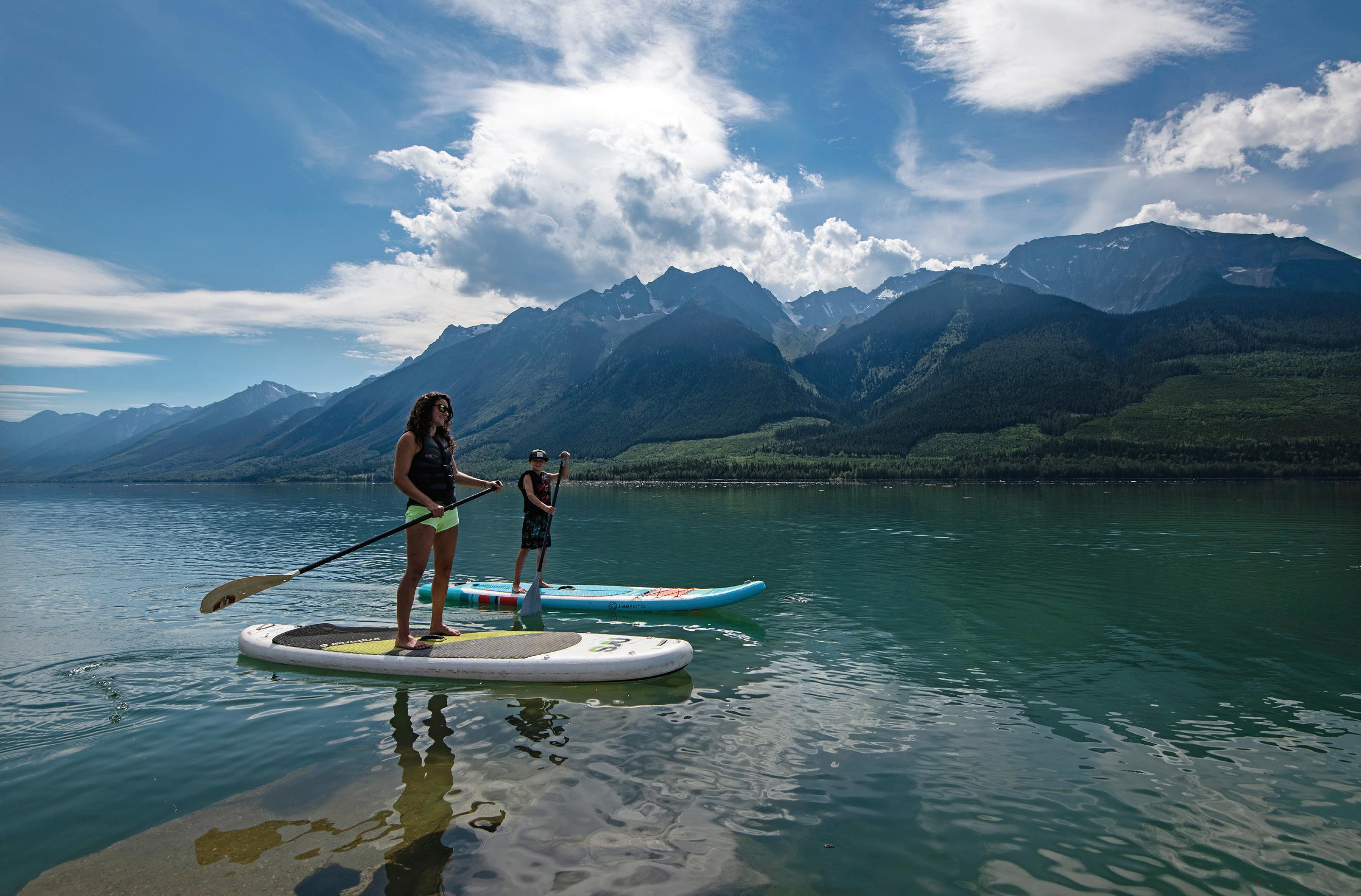
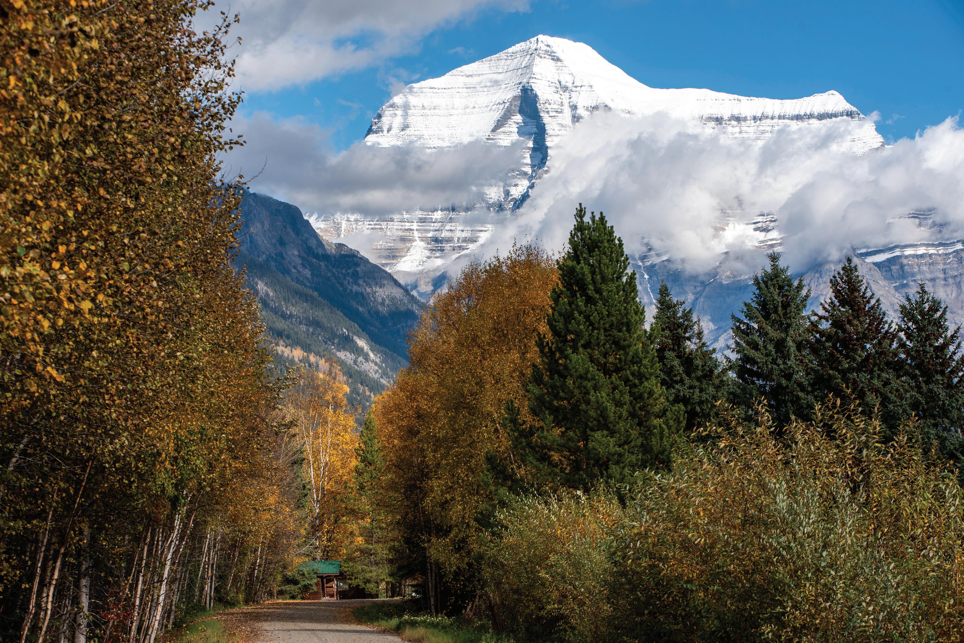
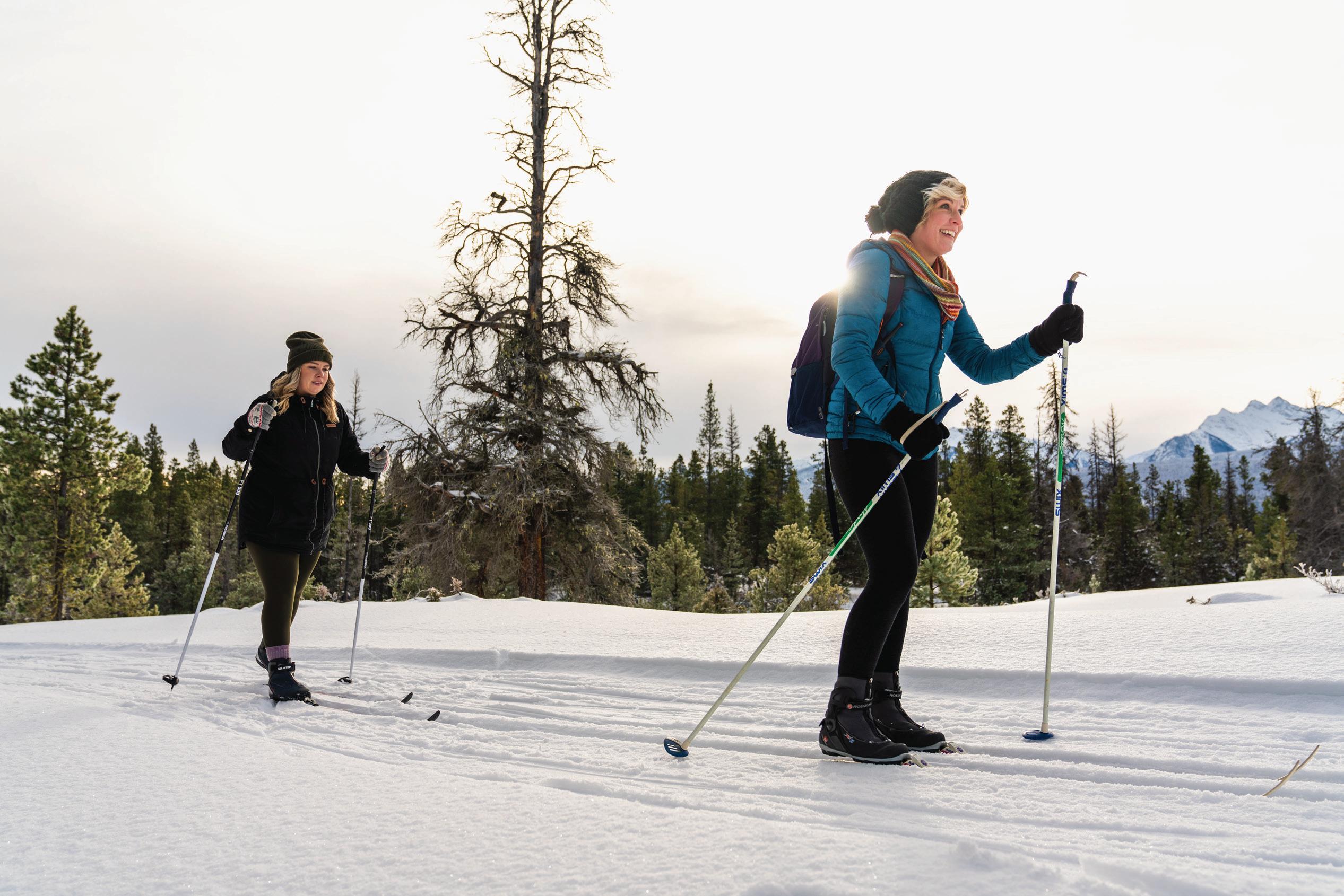
EXPLORE ALL OUR SEASONS
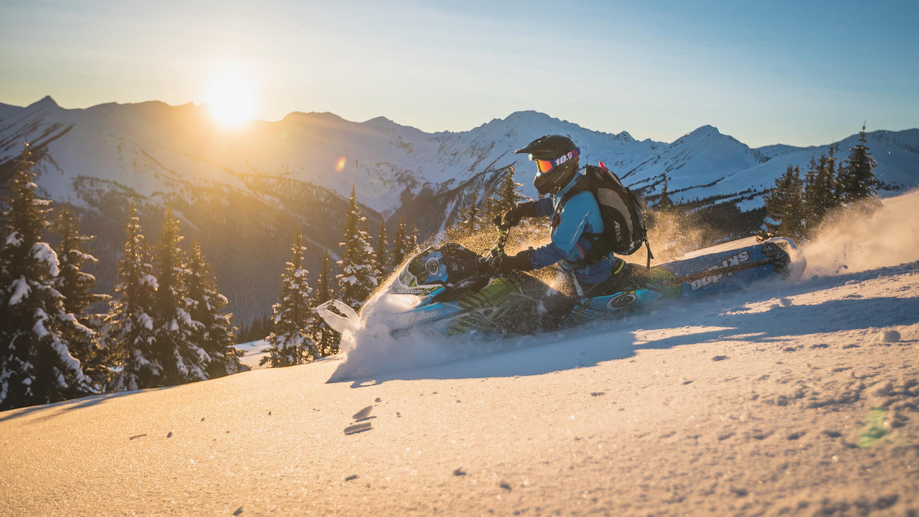


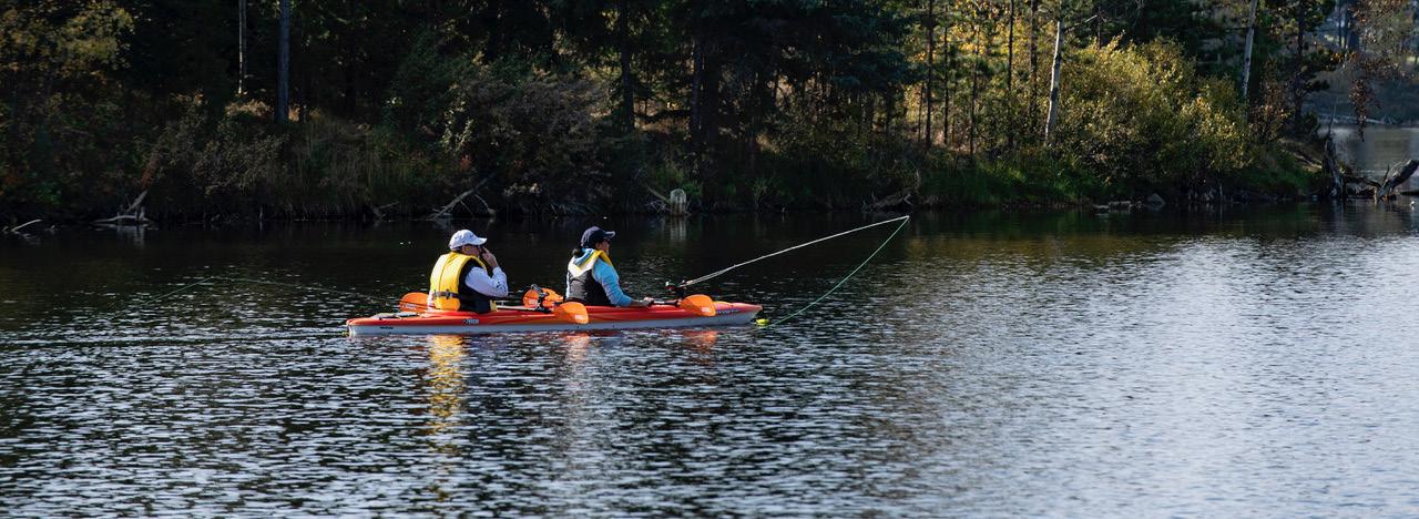
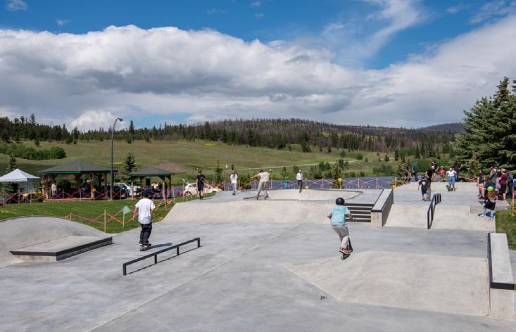
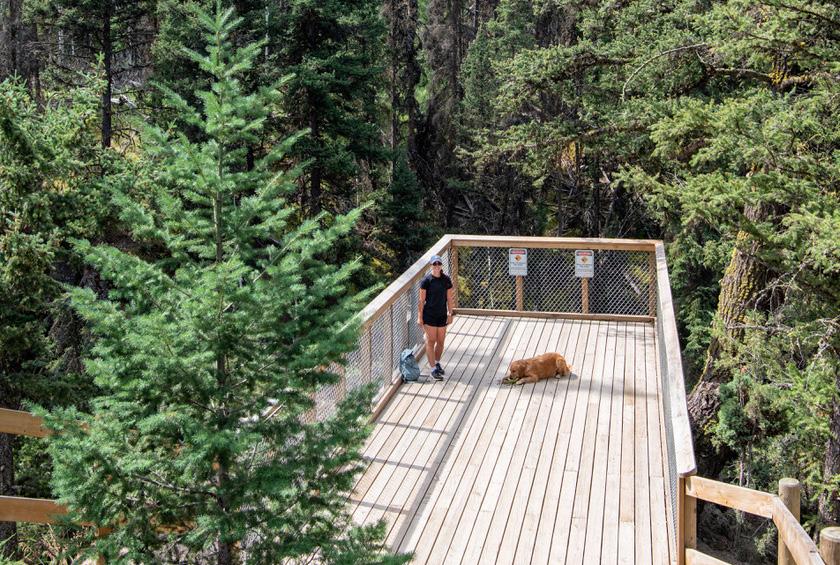
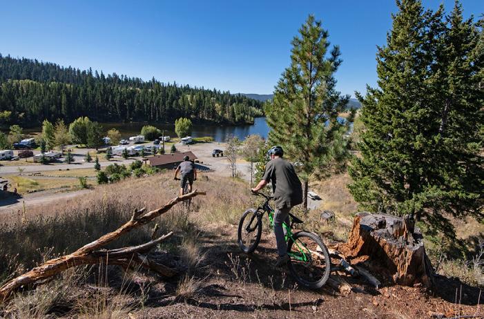
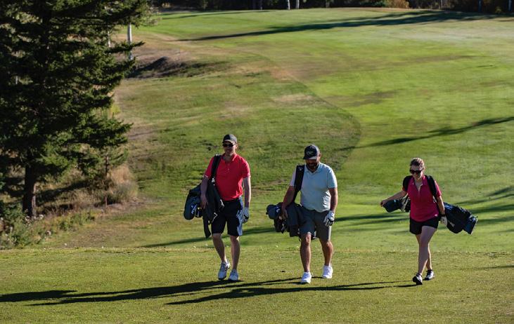
LOCATED IN BC’S SOUTHERN INTERIOR JUST 30 MINUTES FROM KAMLOOPS AND 3 HOURS FROM VANCOUVER
50 campsites with fire pits & picnic tables. Expansions will add another 20 sites during the 2025 camping season. Firewood available & sani-dump nearby.
FREE power, showers, flush toilets, potable water & WIFI.
Great trout fishing, boat launch & fish cleaning station.
Walking distance to the Meadow Creek Golf Course, groceries, bank, liquor store, pedestrian and bike trail system.
NEW FOR THE 2025 season 16 km of mountain bike trails built by world class builder Ron Penny.
Two 18 hole disc golf courses: one championship course ranked top 5 in Western Canada and one beginner course, splash park and playground.
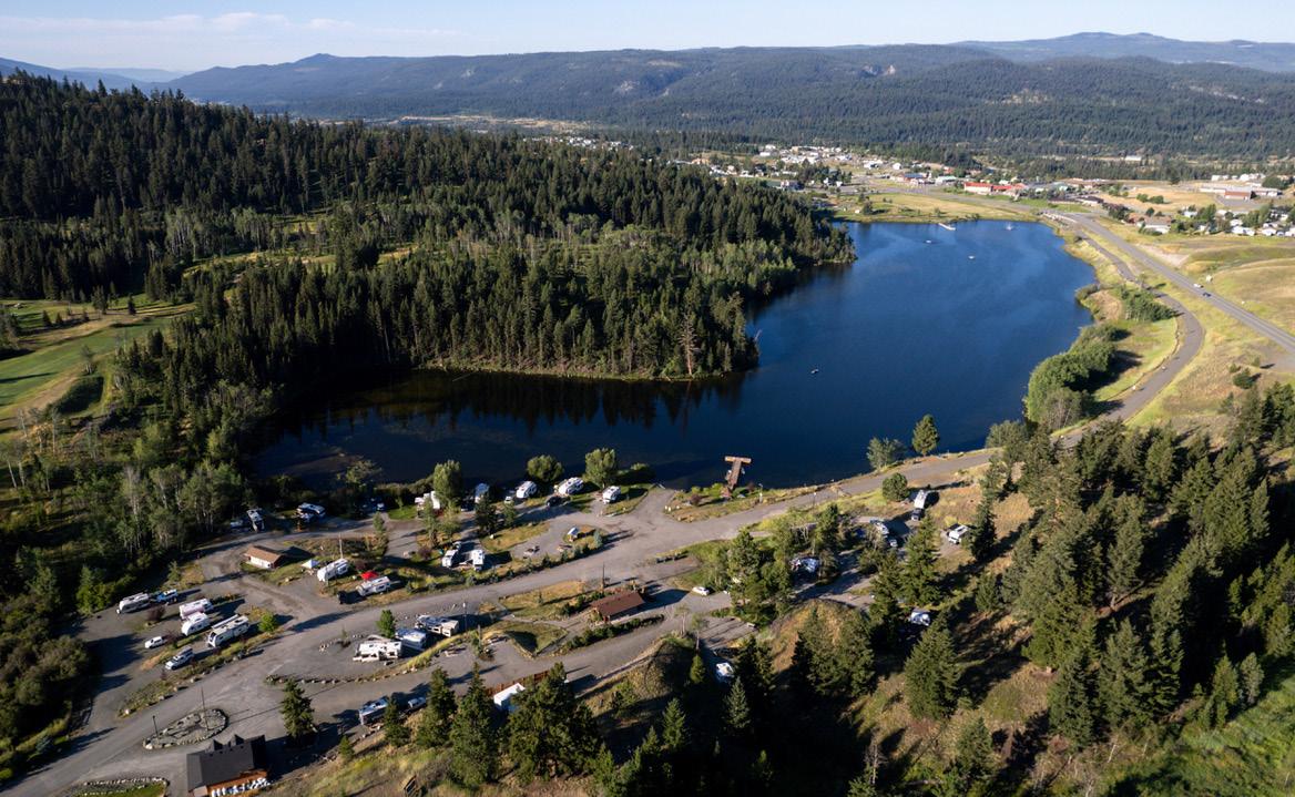
ADD A “STAY & PLAY” GOLF PROMO