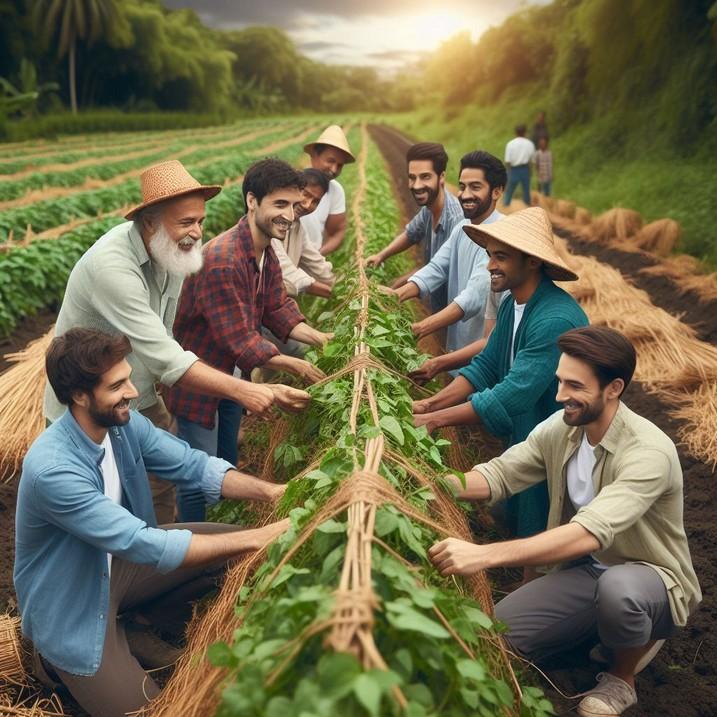
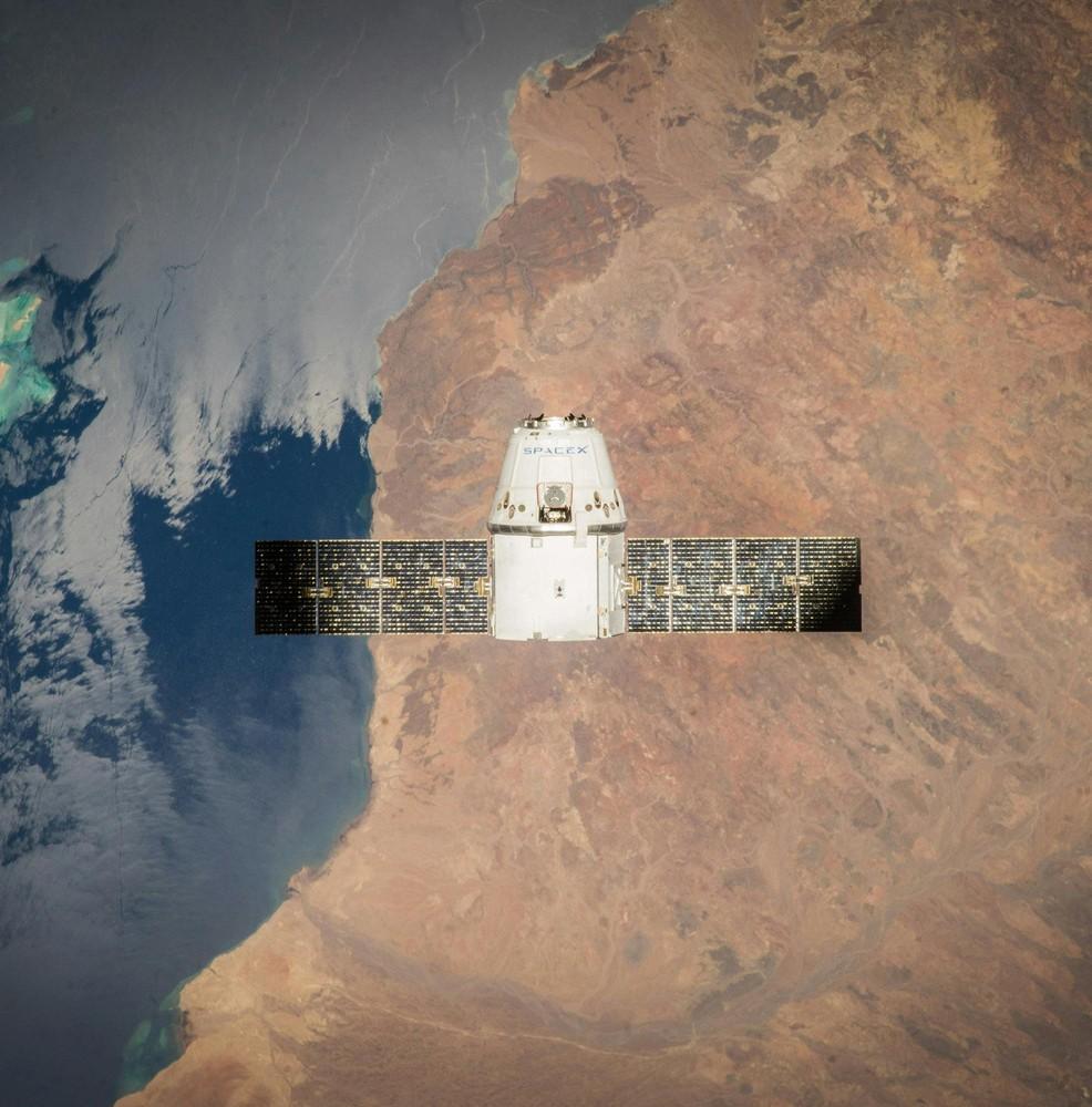
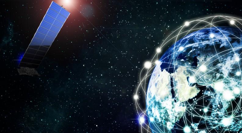
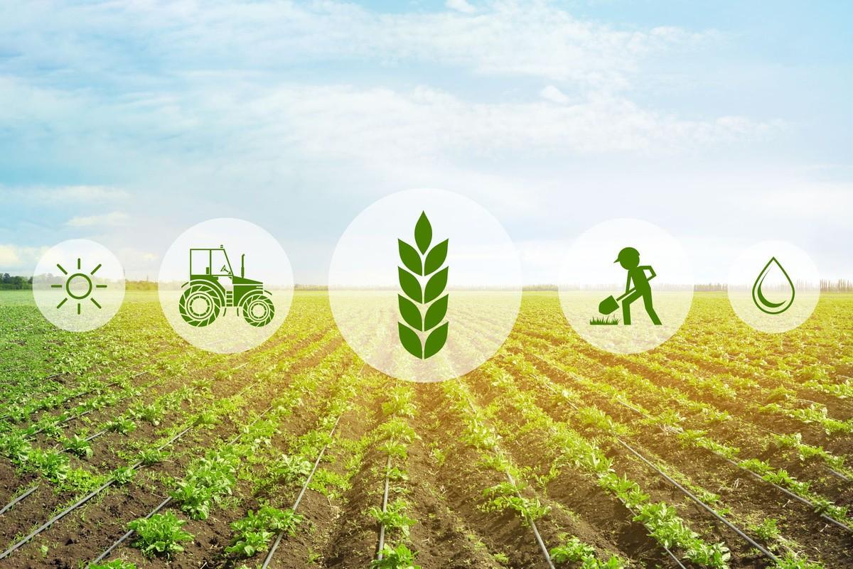
• Remote sensing involves gathering information about objects or areas from a distance, typically from aircraft or satellites.
• It utilizes various sensors to collect data, such as optical, thermal, and radar sensors, enabling us to monitor crops, soil, and environmental conditions.
• Enhanced Crop Monitoring: Remote sensing offers frequent and accurate tracking of crop health and growth stages
• Precision Agriculture: Remote sensing provides detailed insights into soil variability, moisture levels, and nutrient content
• Early Disease Detection: Remote sensing identifies subtle changes in crop health, aiding in early disease detection and prevention.
• Yield Prediction: Advanced analytics based on remote sensing data forecast crop yields, aiding in decisionmaking and market planning.
• Environmental Monitoring: Remote sensing monitors factors such as water availability, land use changes, and climate patterns.
Applications of Remote Sensing in Farm Management
1.Crop Health Monitoring
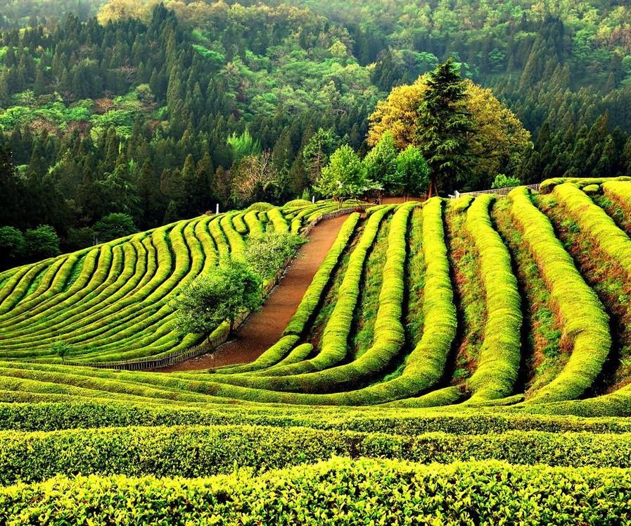
2.Soil Mapping
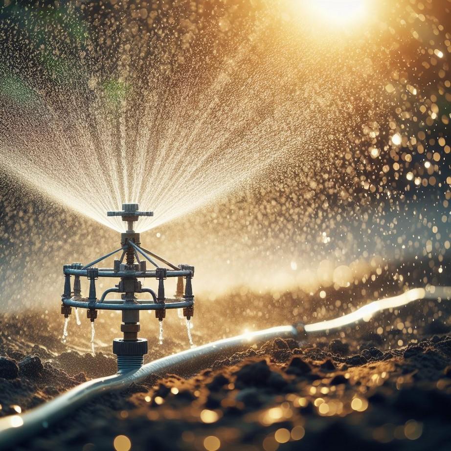
3.Irrigation Management
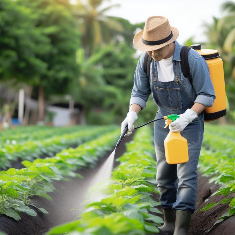
4.Pest and Disease Management
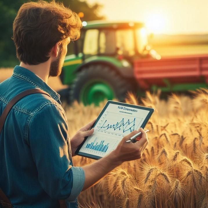
5.Yield Estimation
6.Climate Resilience
Utilizing multispectral and hyperspectral imagery to assess crop health, detect stress factors, and identify nutrient deficiencies.
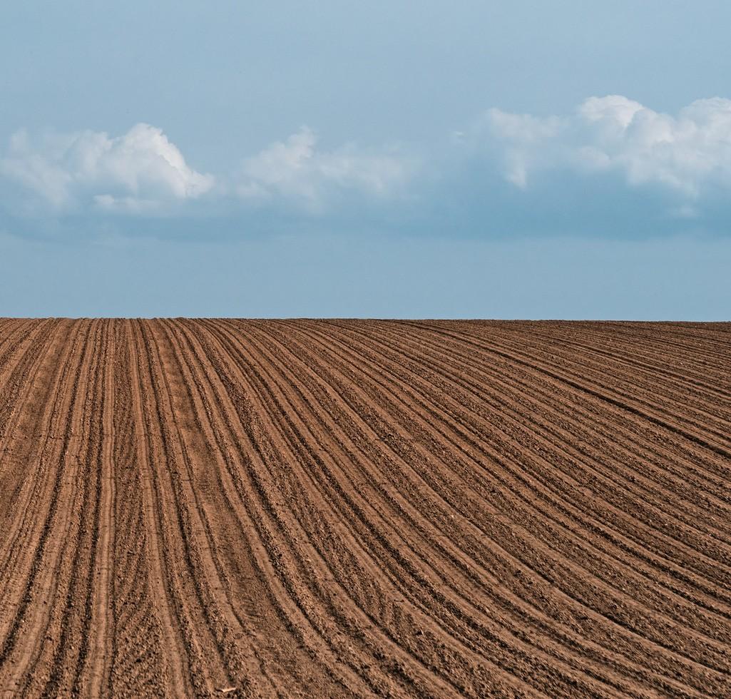
Mapping soil properties like texture, moisture, and pH levels to optimize soil management practices.
Irrigation Management
Monitoring soil moisture levels and vegetation stress to optimize irrigation scheduling and minimize water usage.
Early detection of pest infestations and disease outbreaks through remote sensing, enabling targeted interventions.
Using remote sensing data along with machine learning algorithms to predict crop yields and optimize harvest planning.
Assessing climaterelated risks and vulnerabilities through remote sensing, aiding in adaptation strategies.